TASMANIAN TRIP - DECEMBER 2006-JANUARY 2007
TASMANIAN TRIP
DECEMBER 2006-JANUARY 2007
Monday 25 December to Sunday 31 December
Hobart
Blog 4
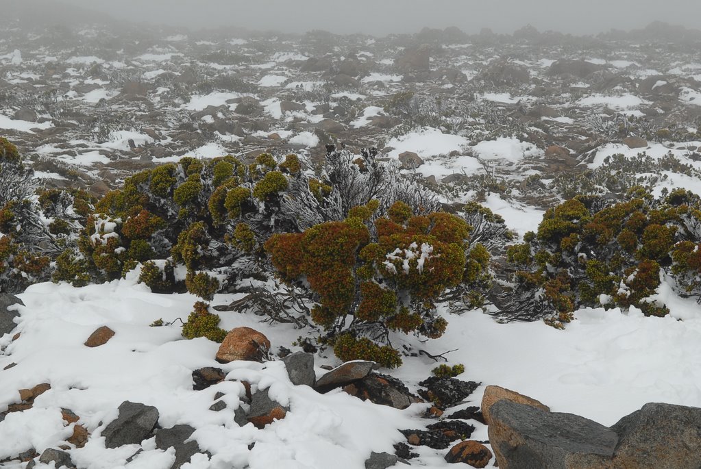
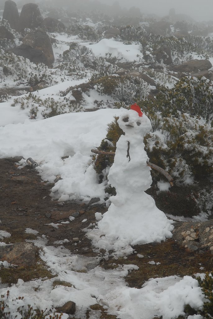
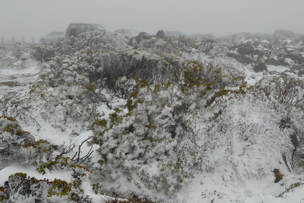
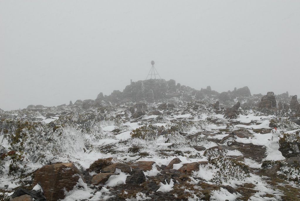
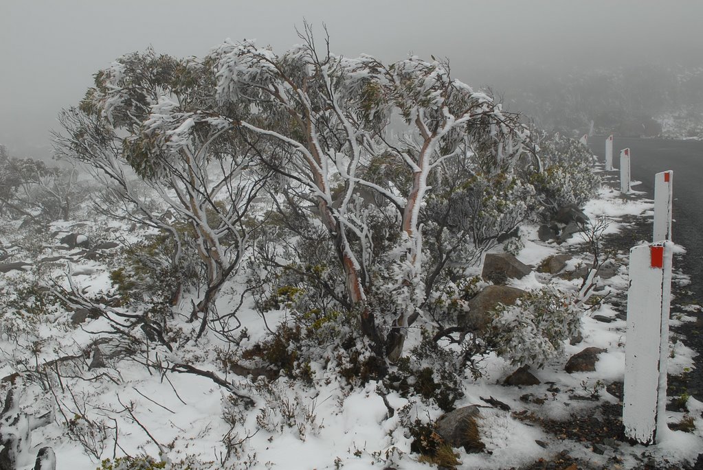
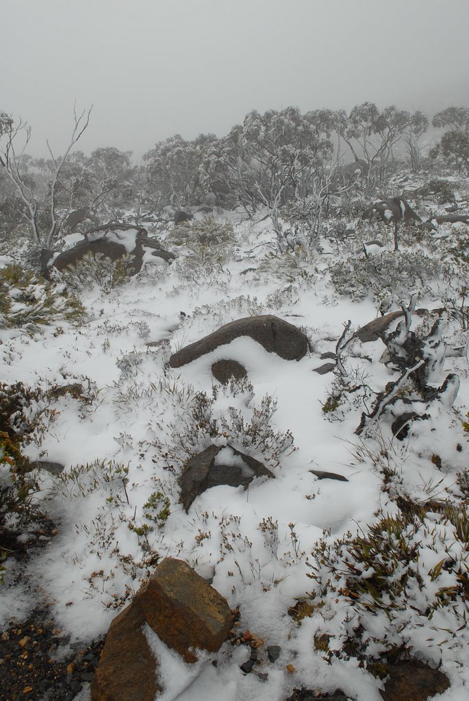
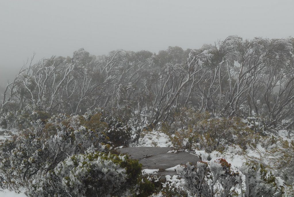
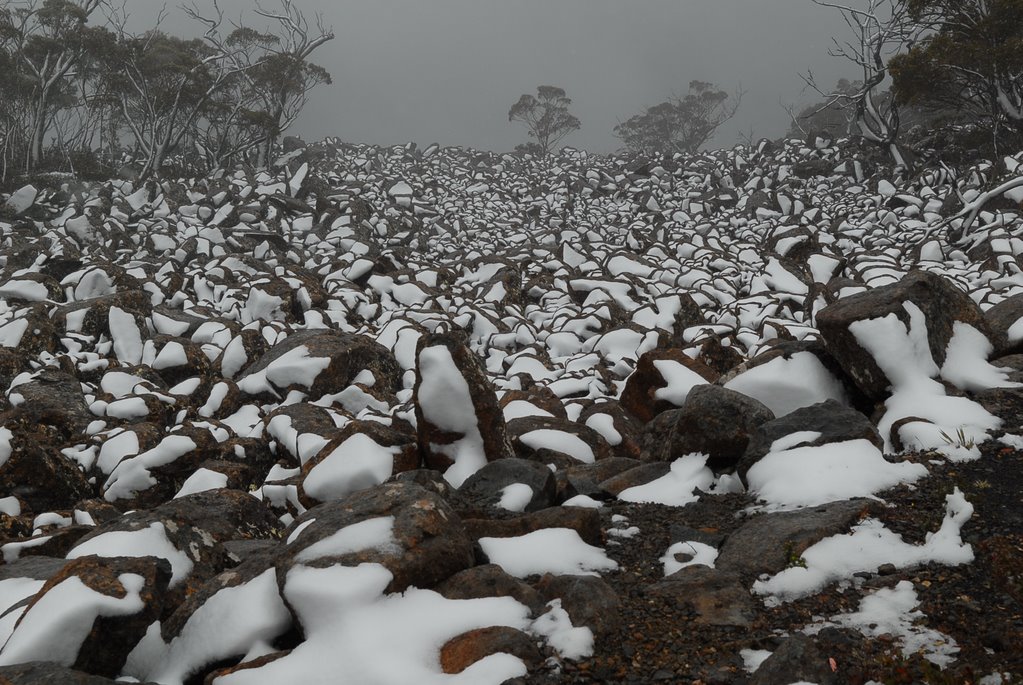
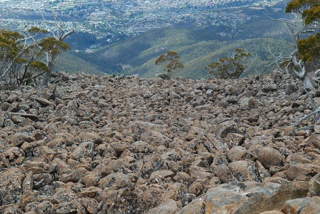
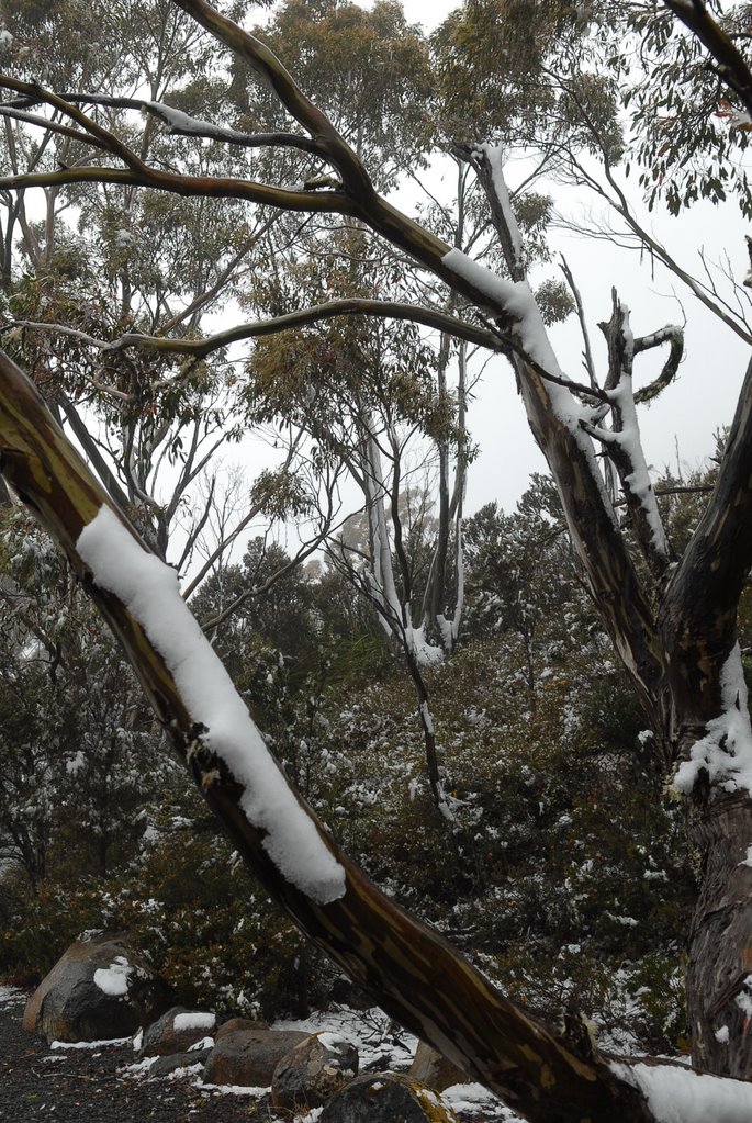
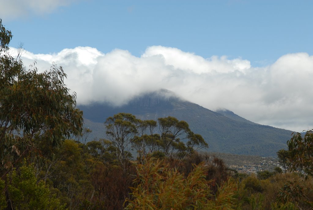
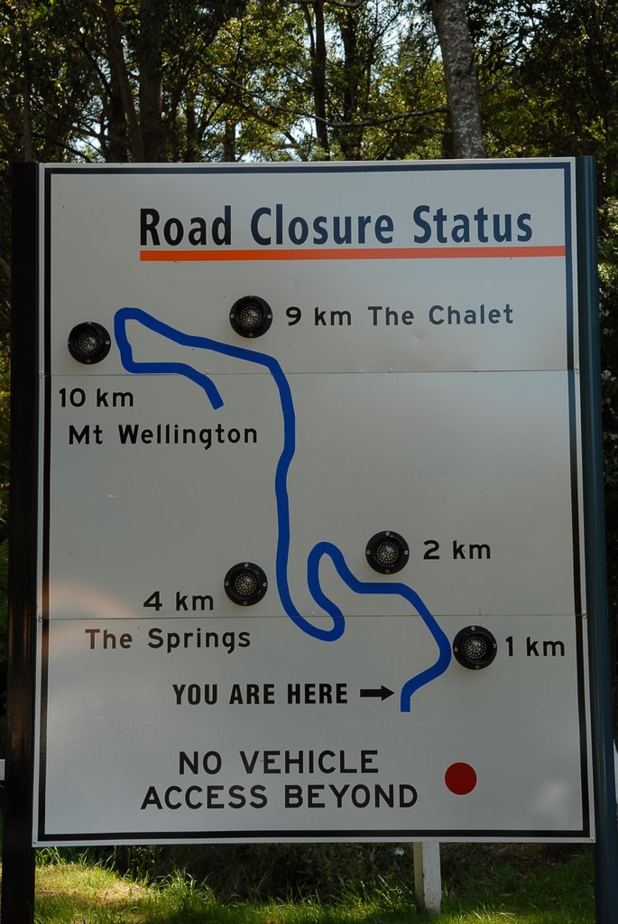
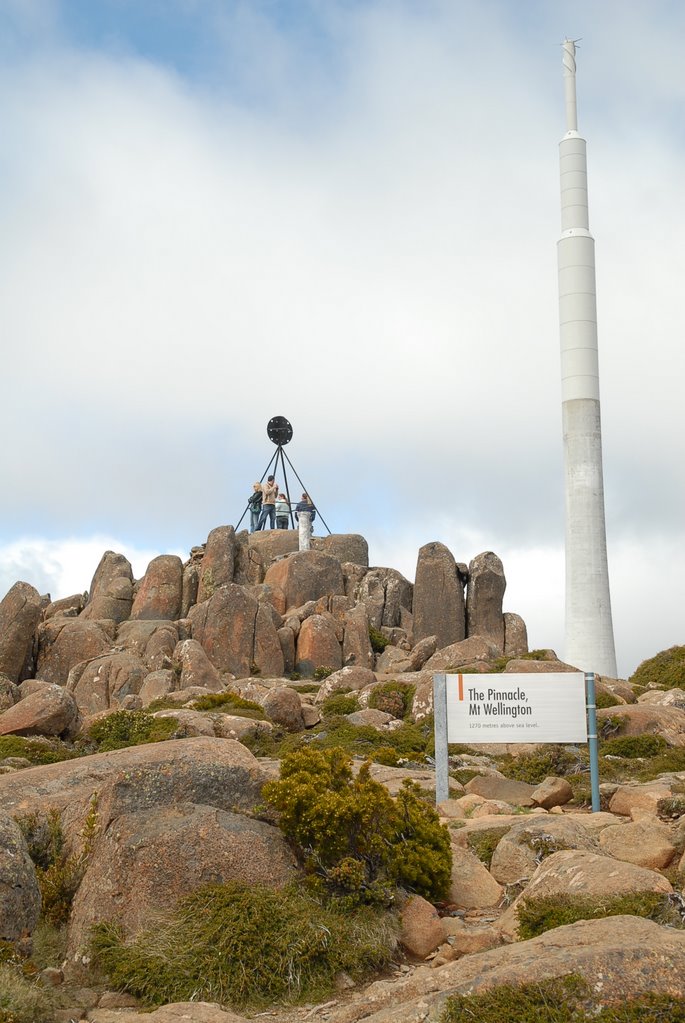
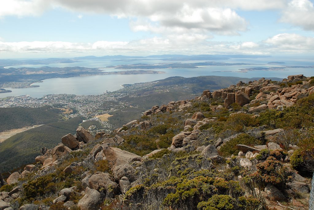
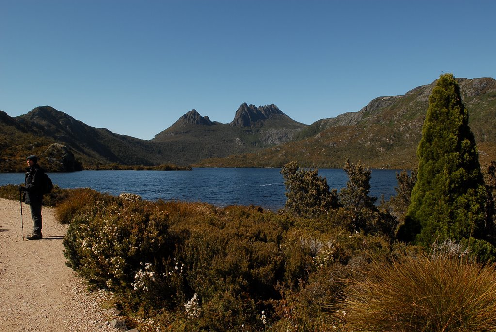
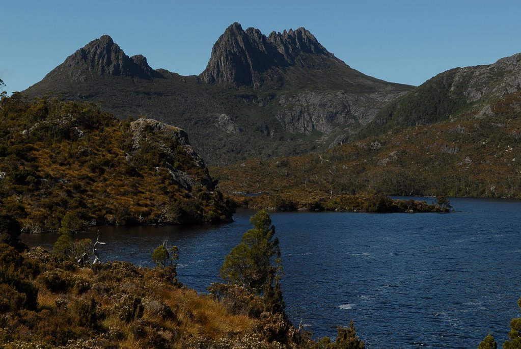
Christmas Day and we decided to drive up to 1270m high Mt Wellington which was covered in cloud. It was a fantastic winding road and it was snowing. The top of the mountain had a light covering of snow, the wind was blowing, the trees and cars were covered in snow and it was Zero degrees Centigrade.
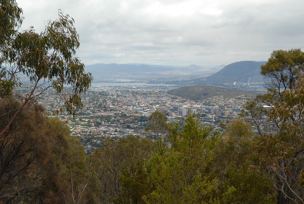
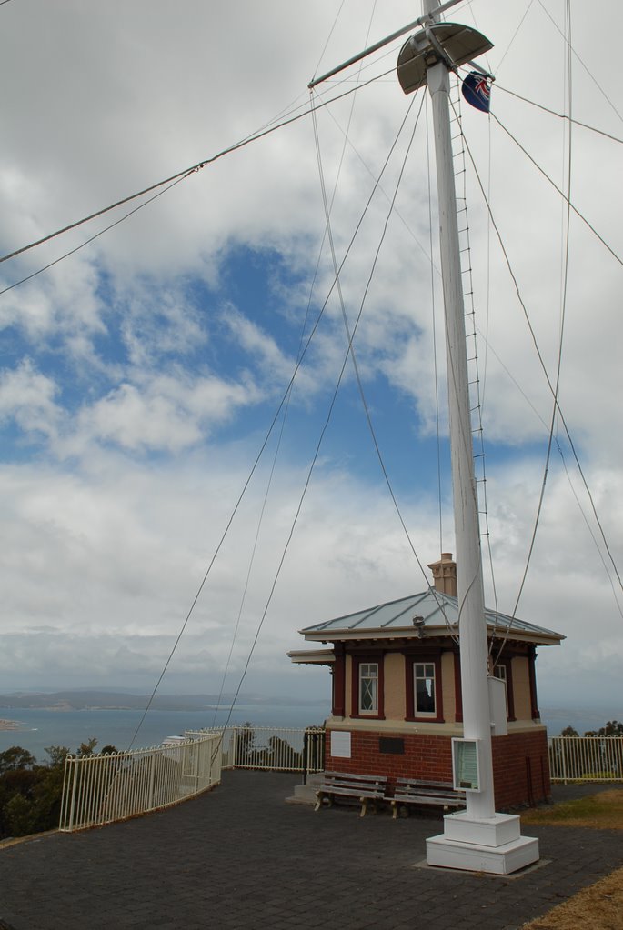
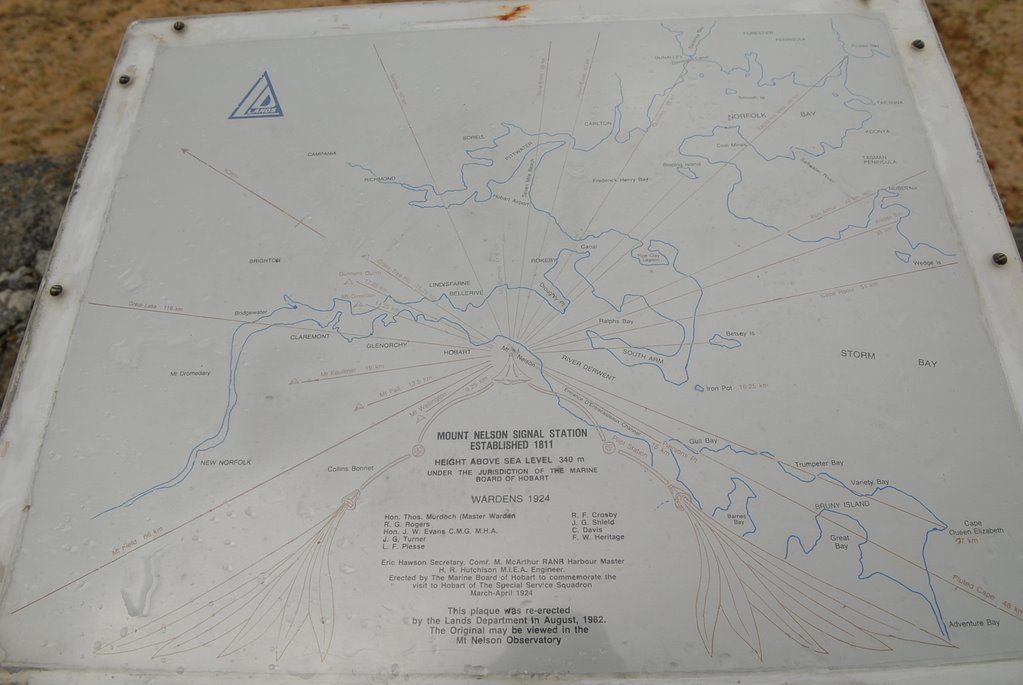
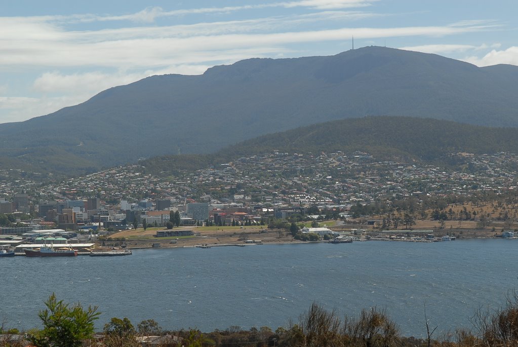
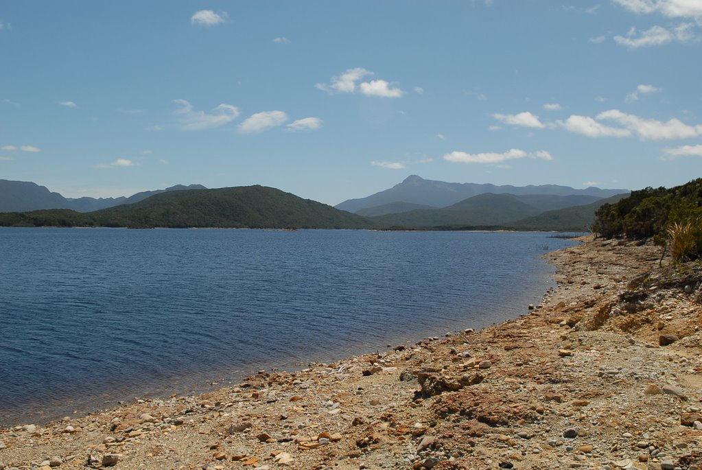
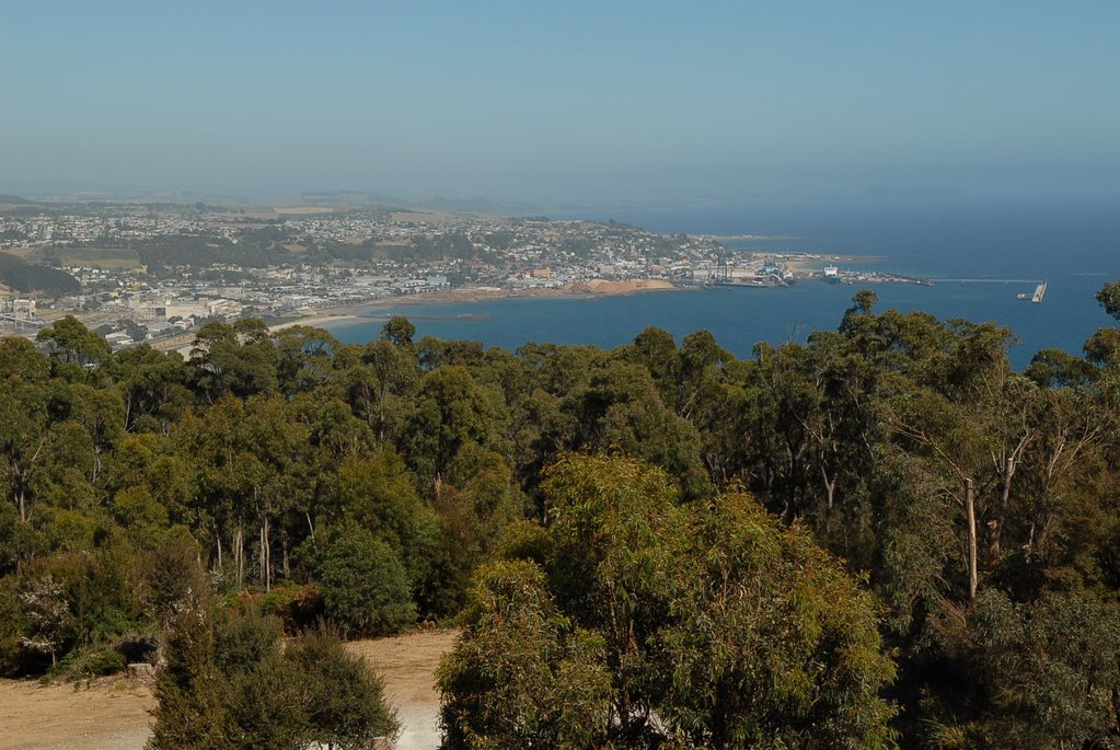
We continued our mountain explore and drove on to Mt Nelson, only 360m high, which was used as a signal post to notify Hobart and Port Arthur of incoming vessels using Semaphore and gave us a closer view of the Derwent River.
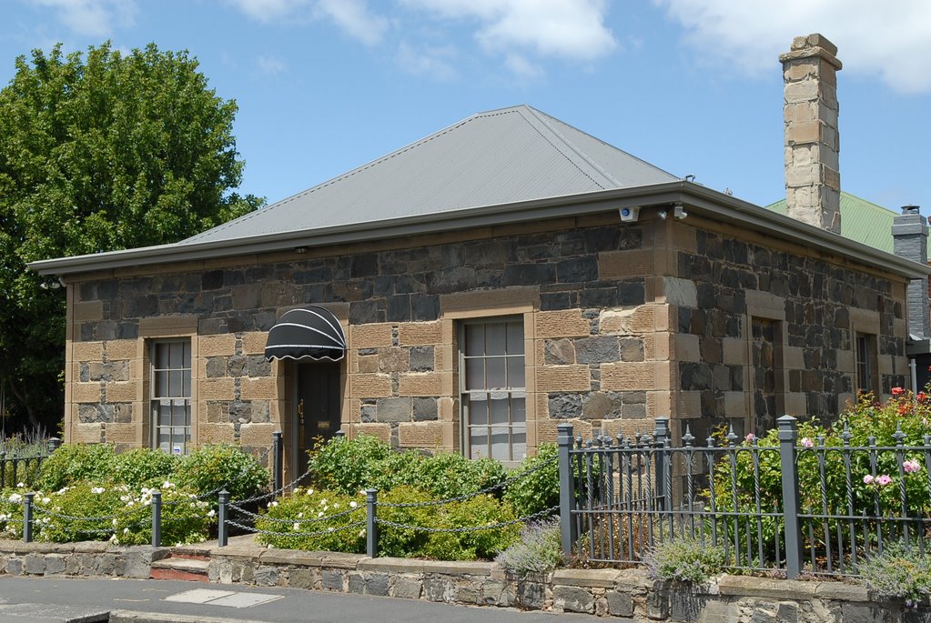
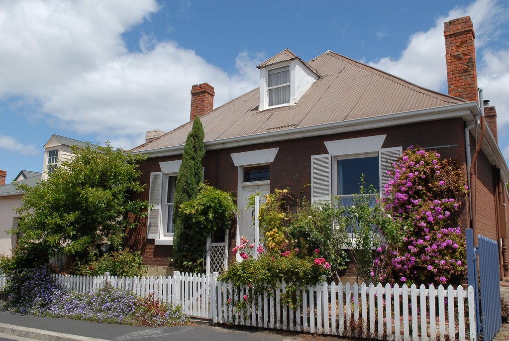
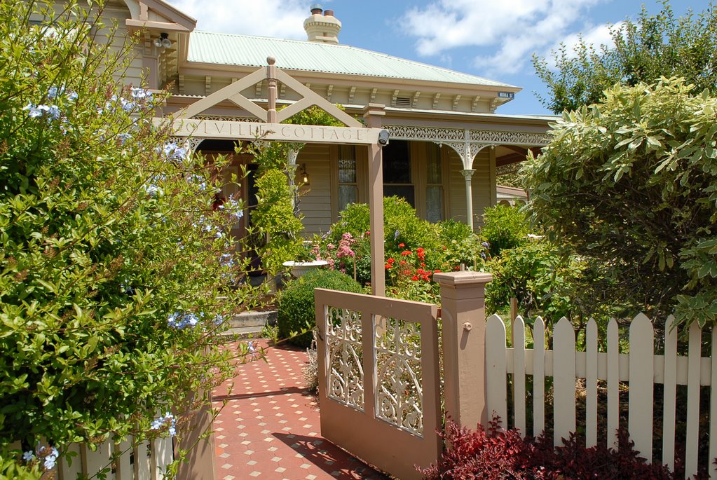
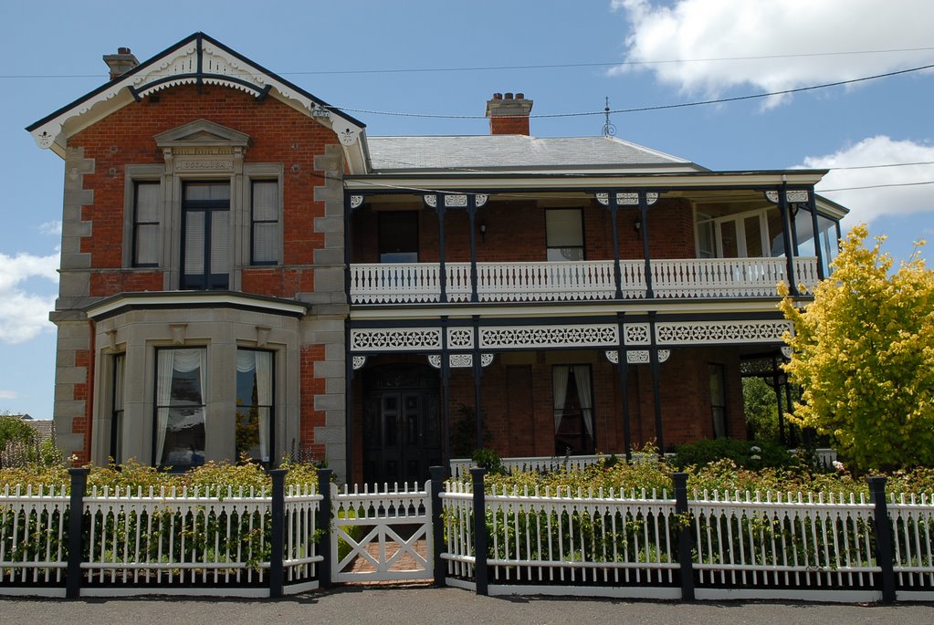
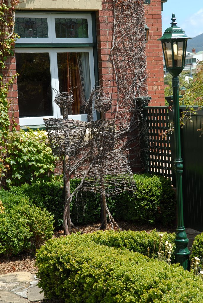
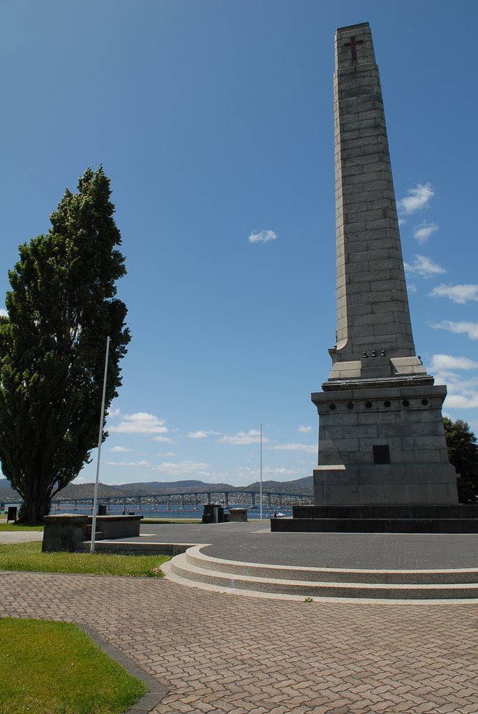
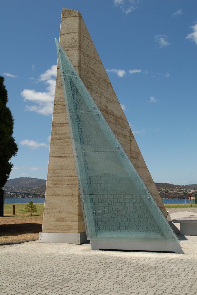
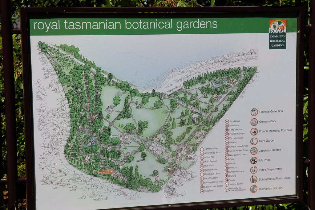
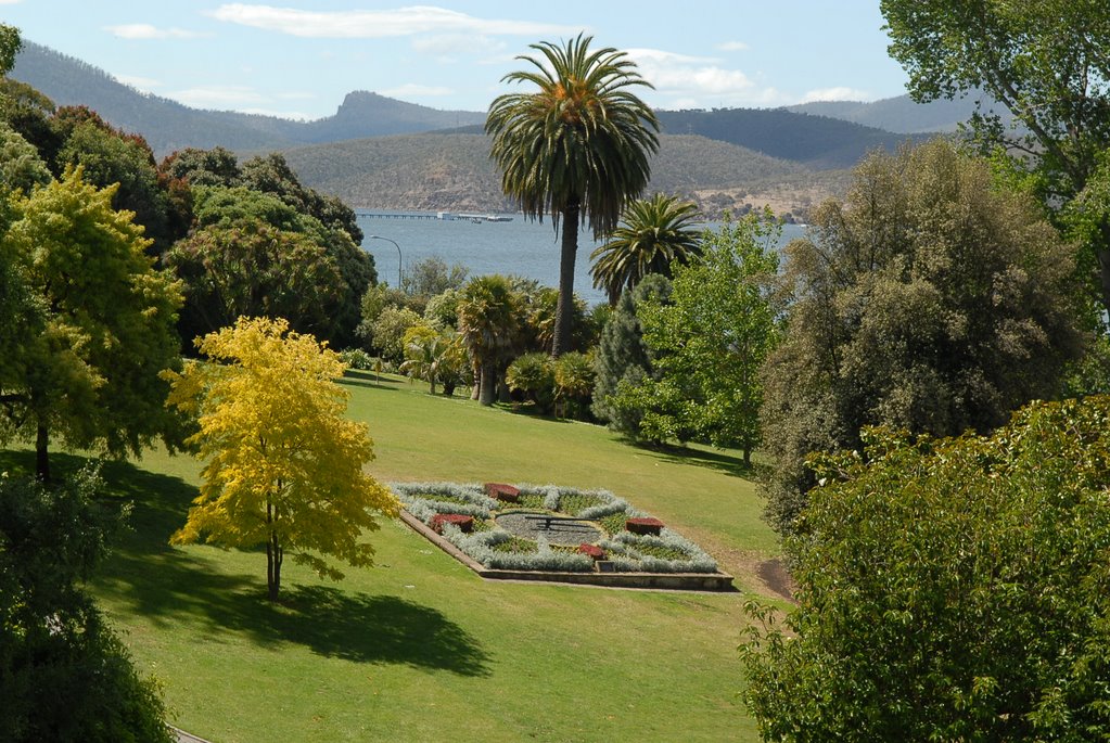
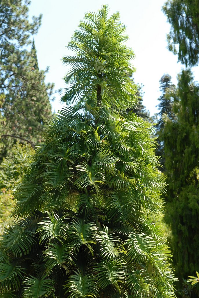
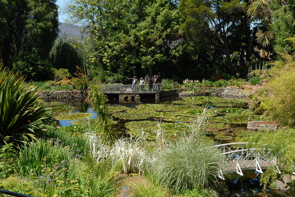
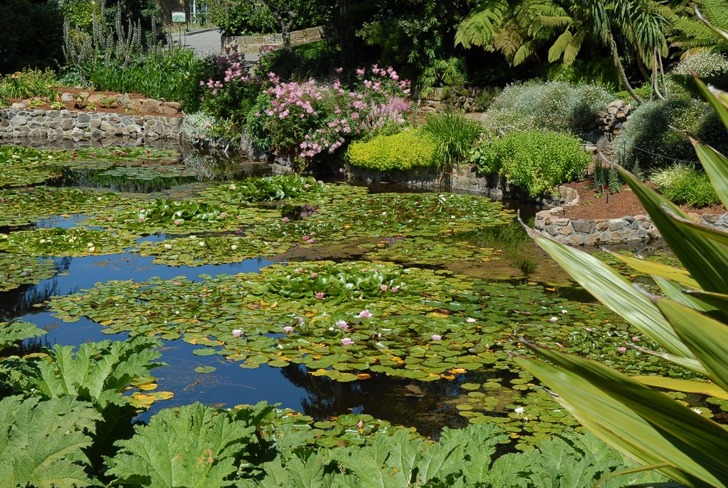
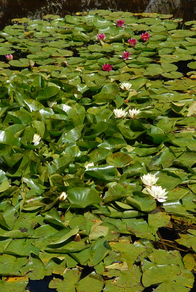
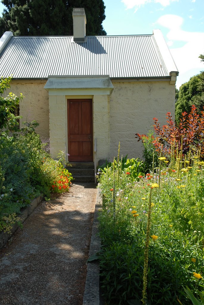
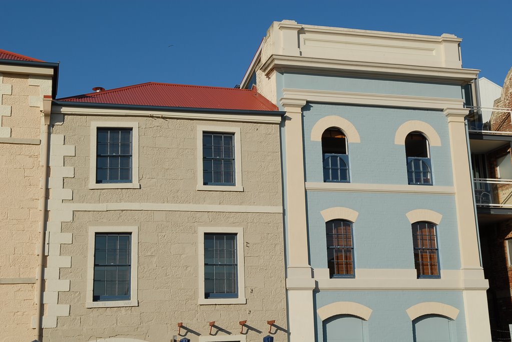
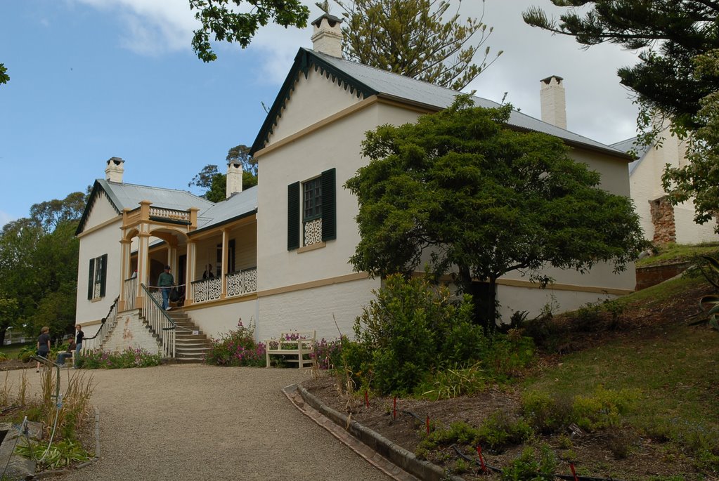
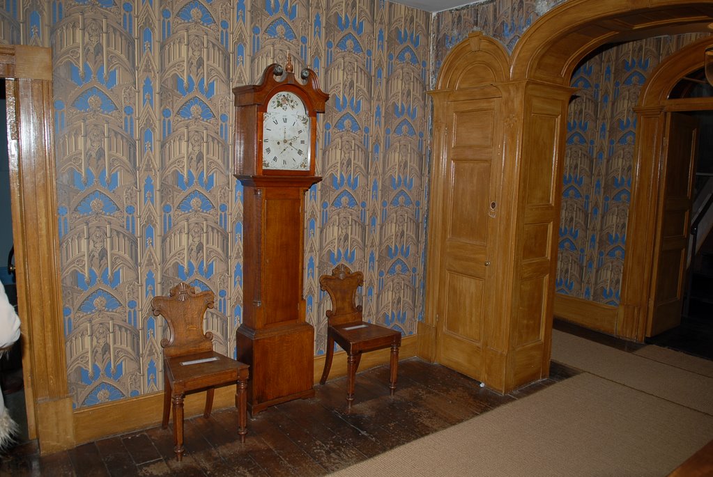
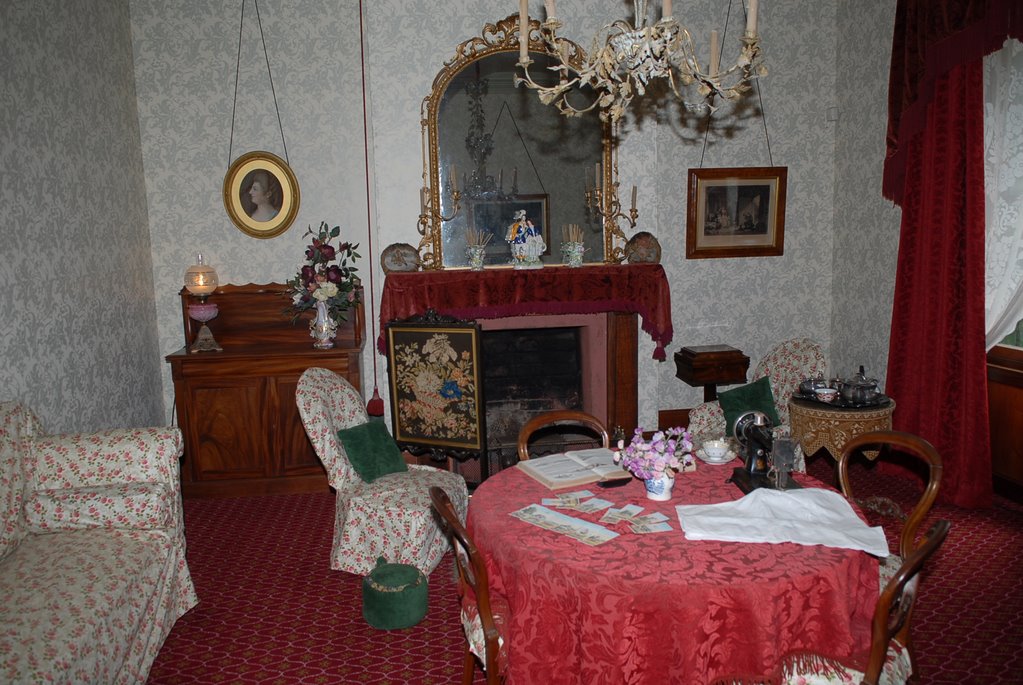
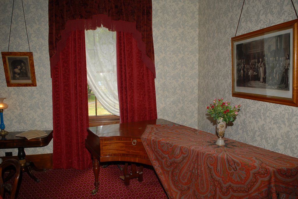
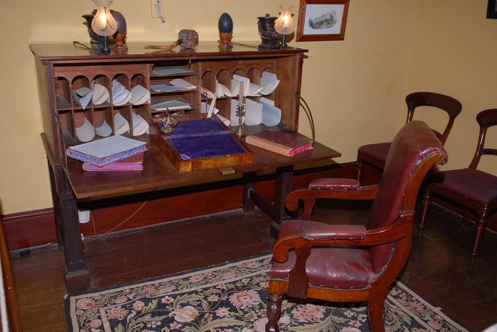
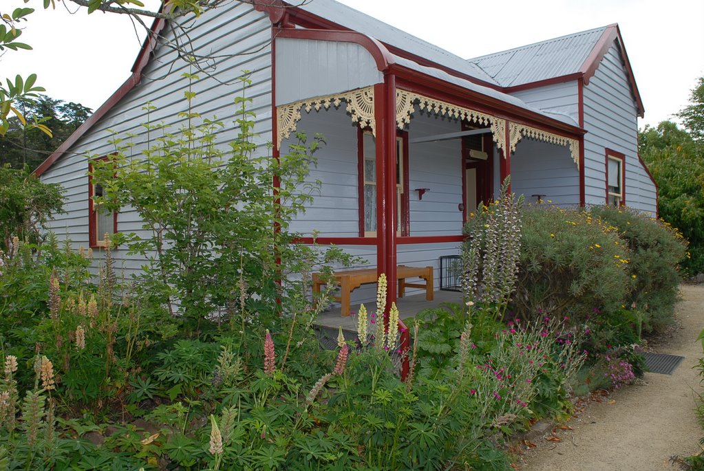
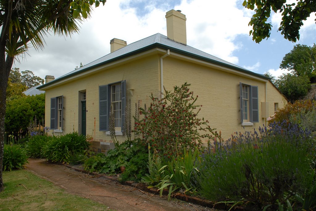
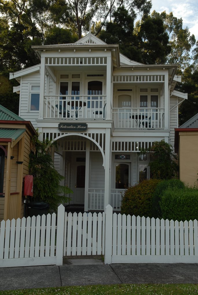
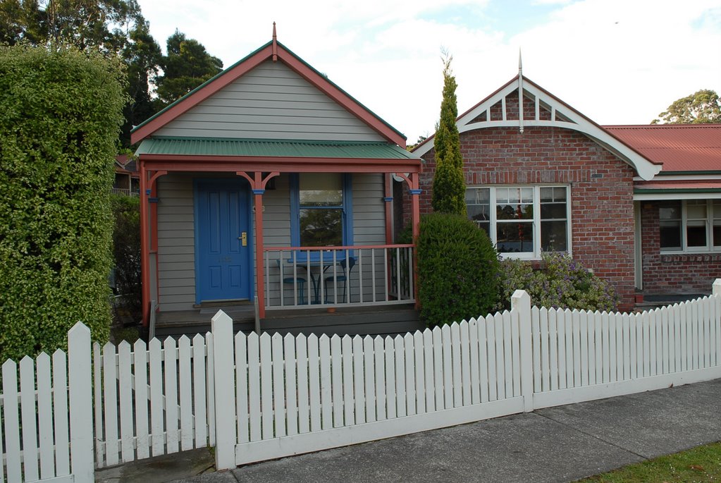
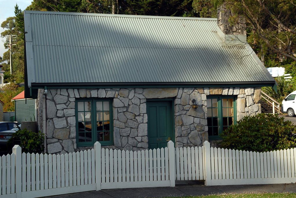
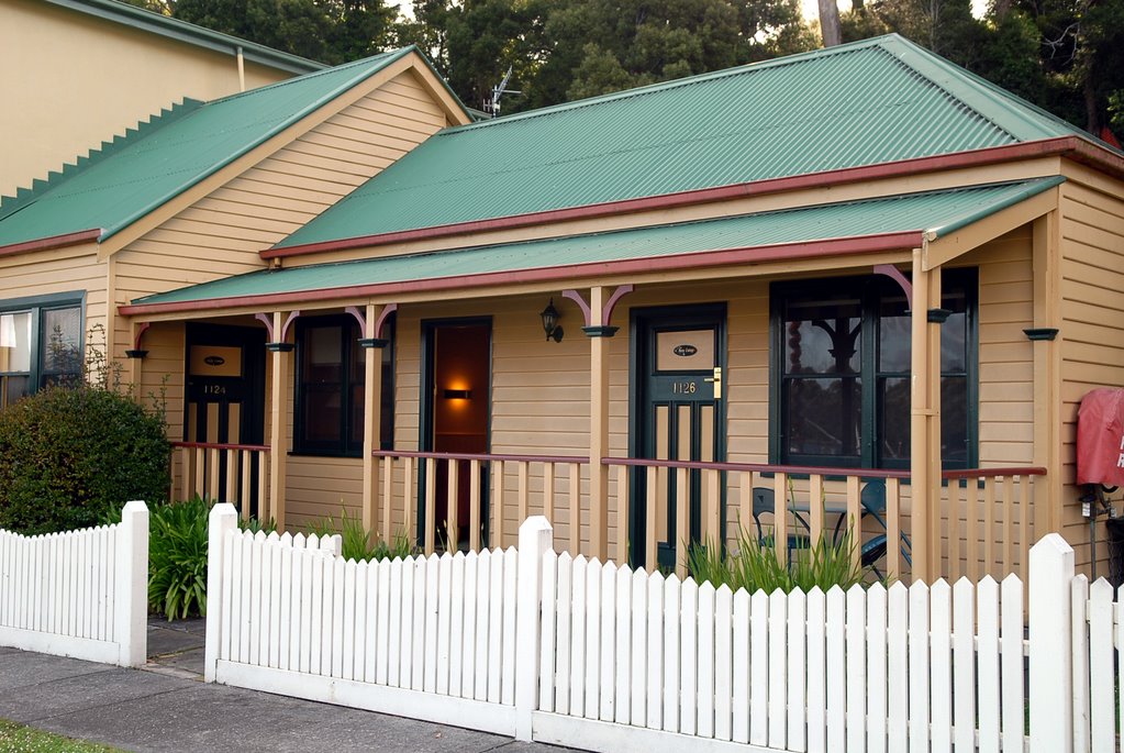
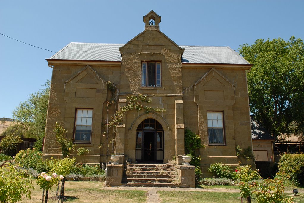
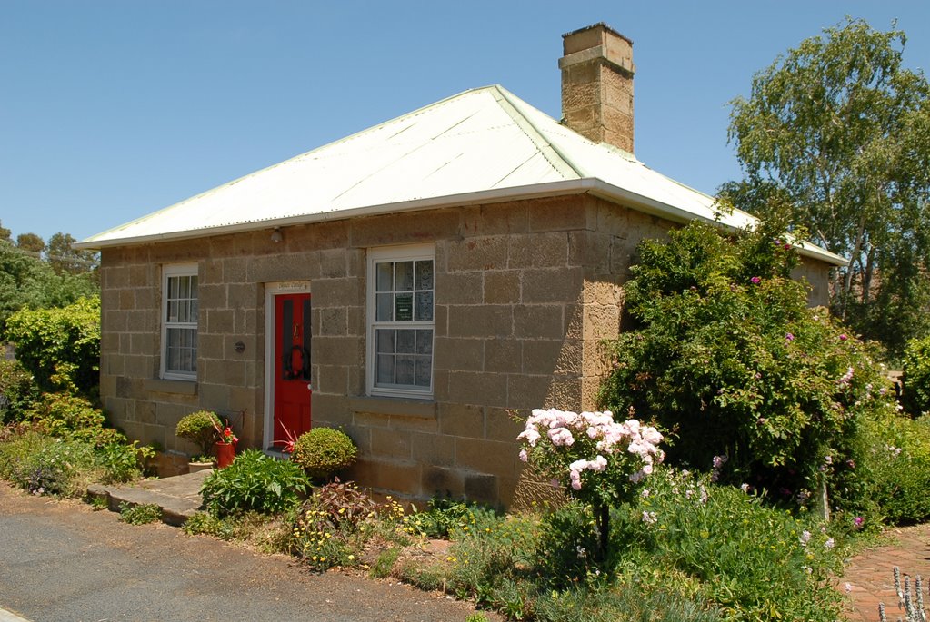
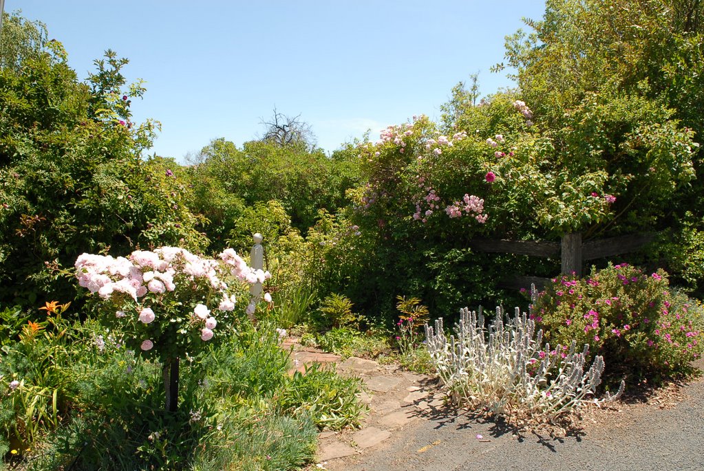
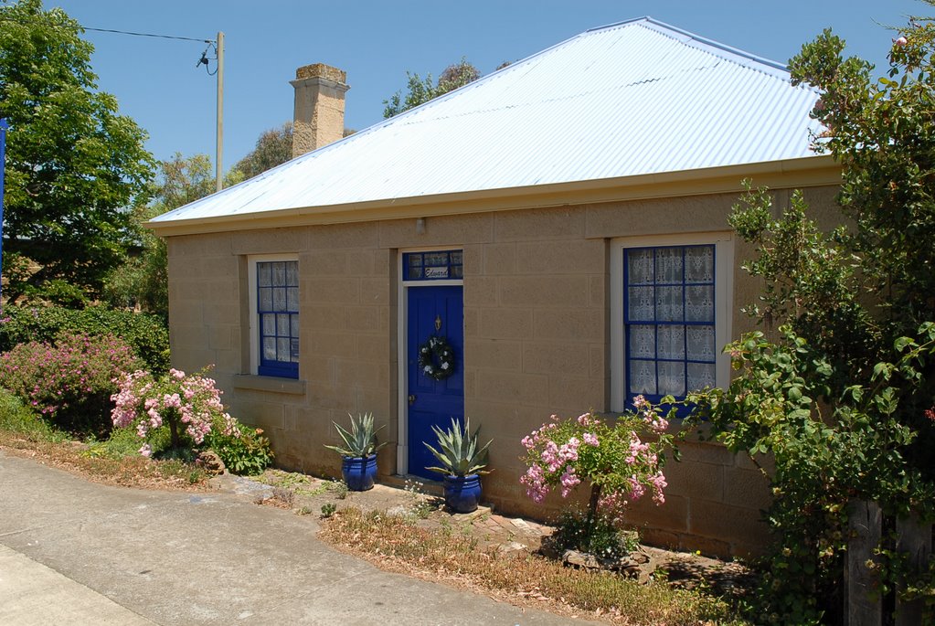
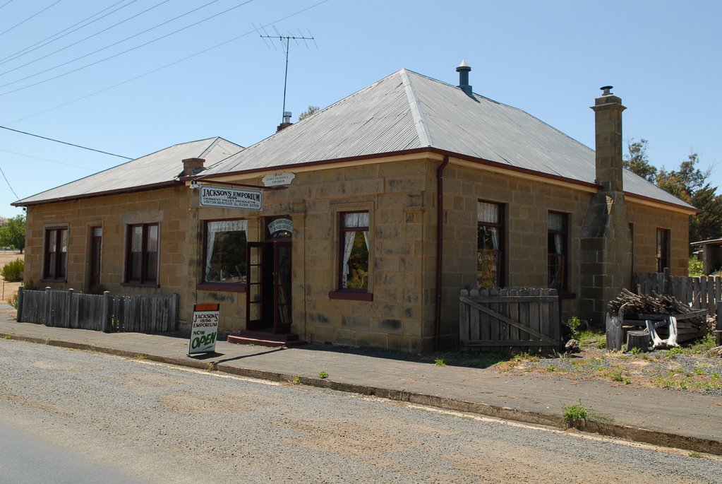
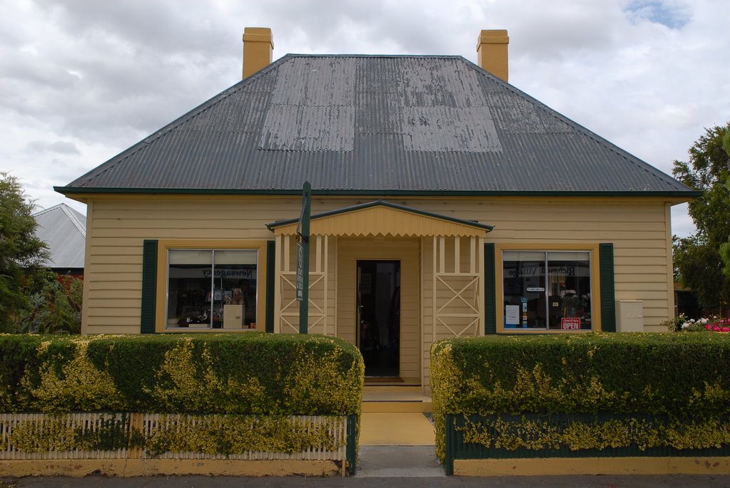
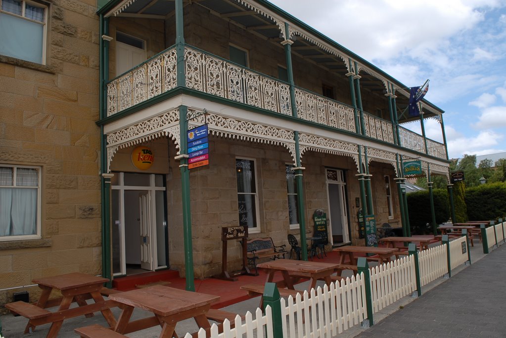
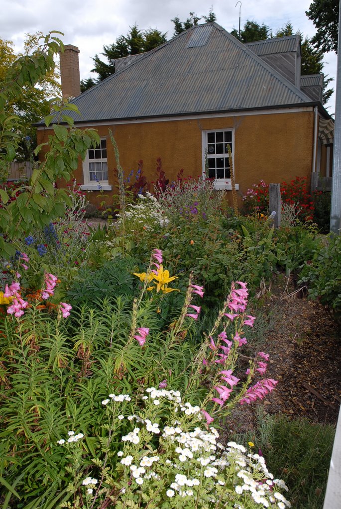
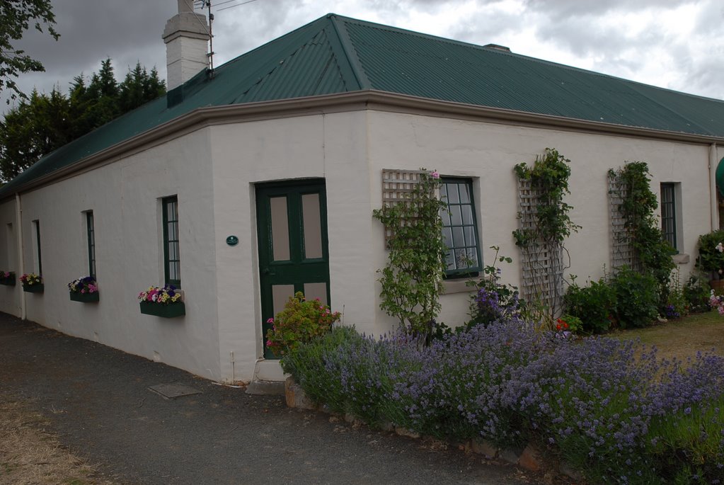
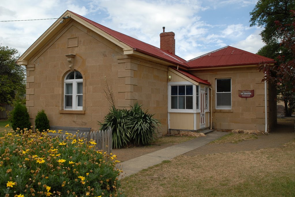
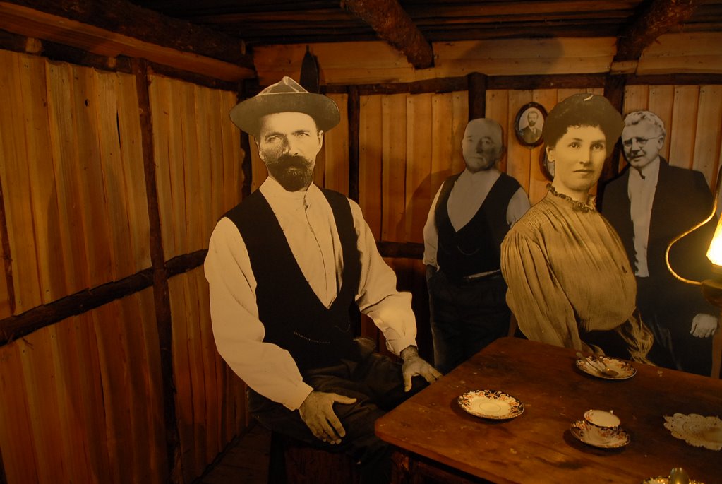
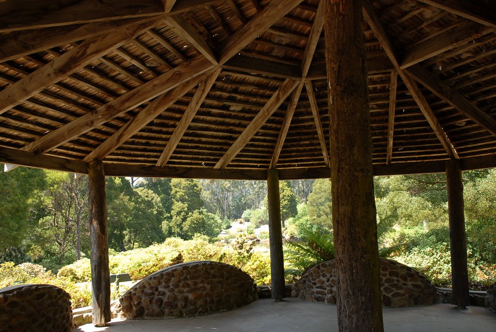
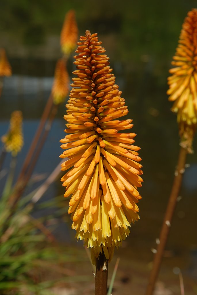
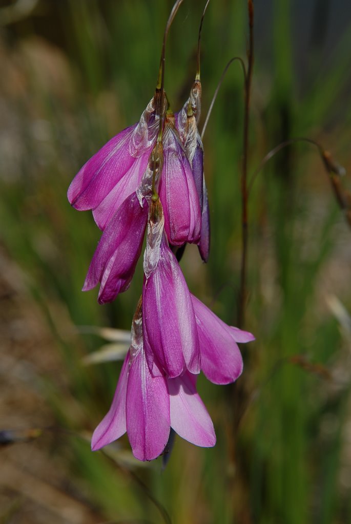
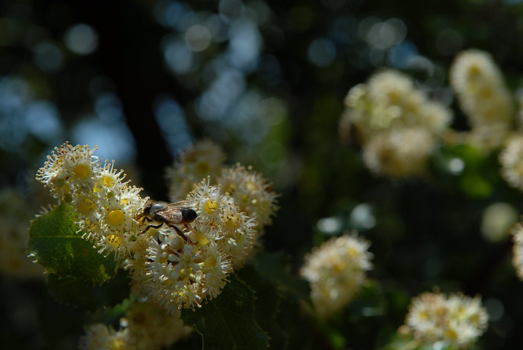
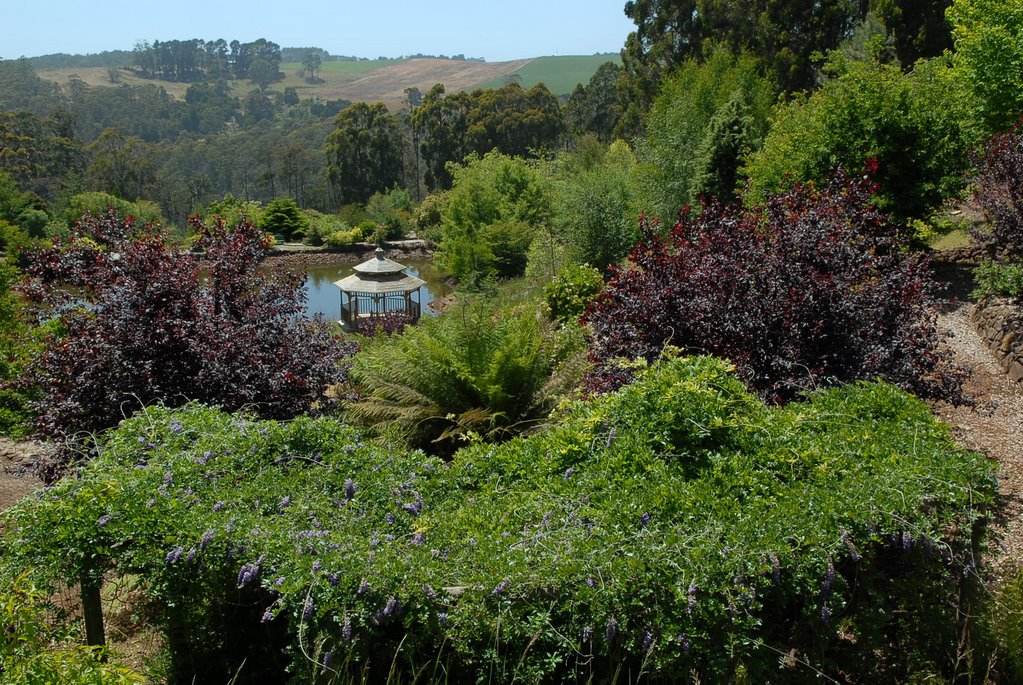
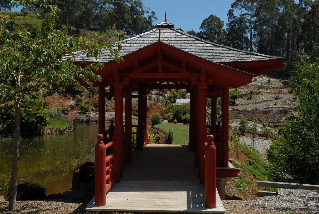
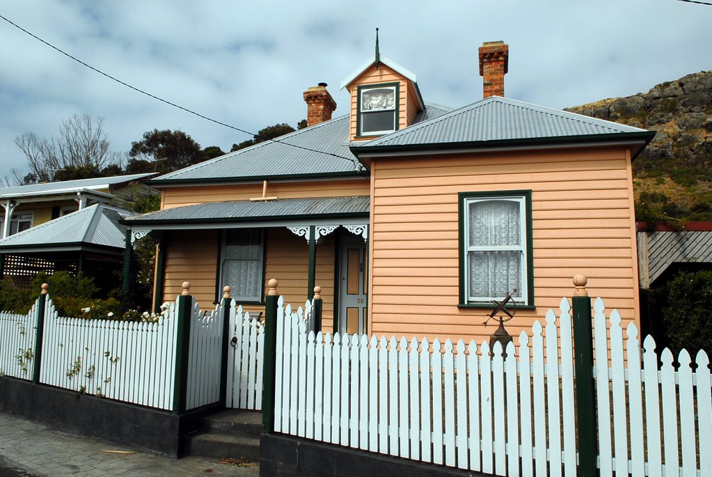
We explored the old and beautiful houses of the Hobart suburb of Battery Point and then continued on to the cenotaph followed by afternoon tea at the beautiful Botanic Gardens.
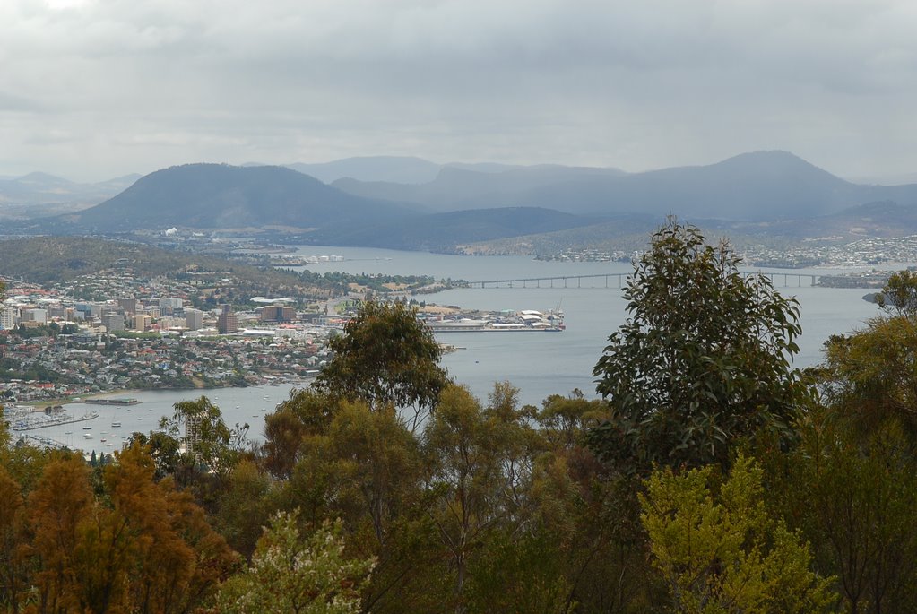
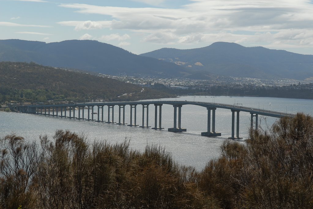
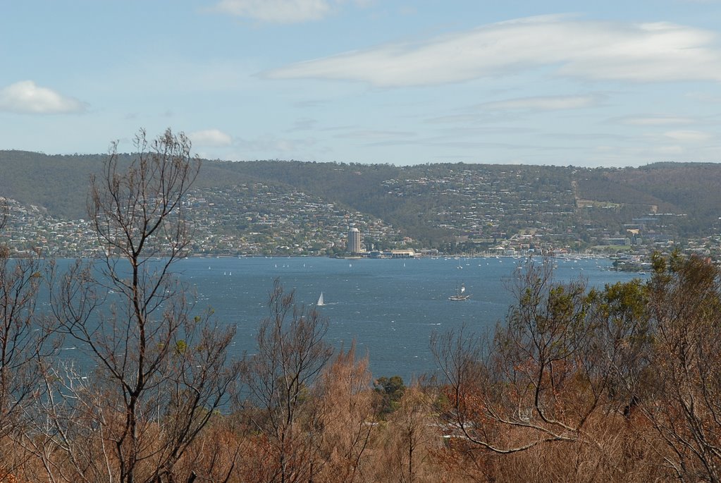
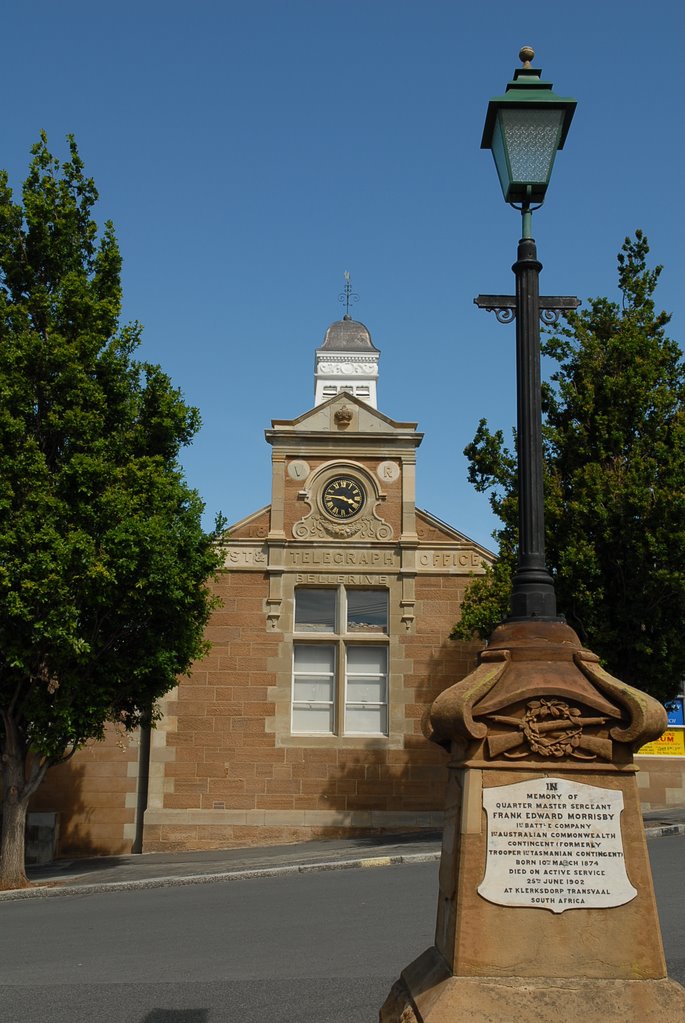
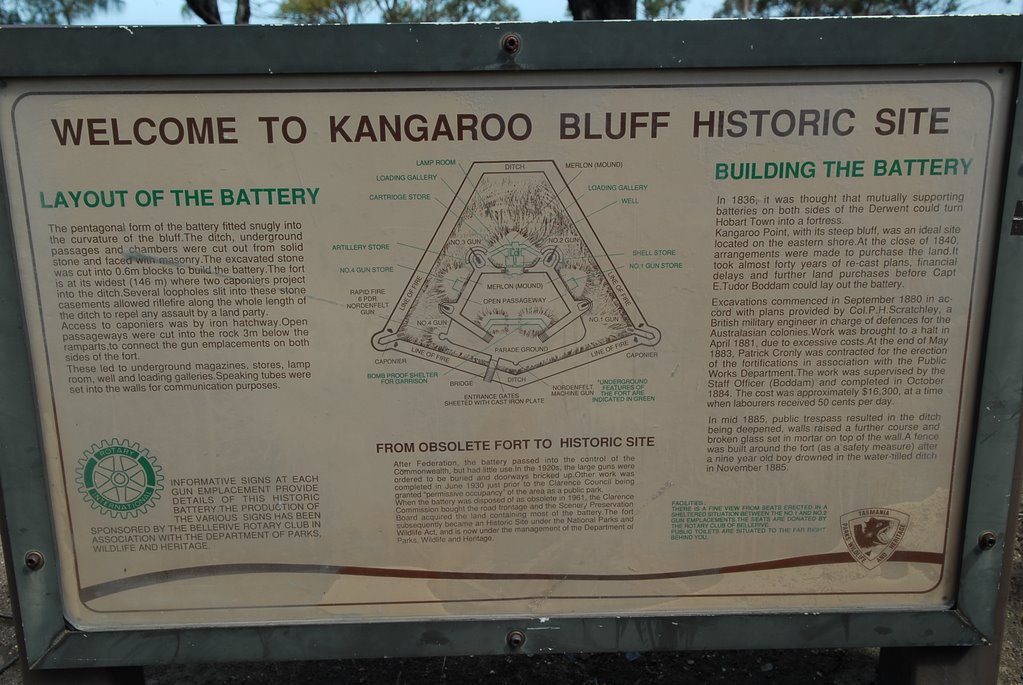
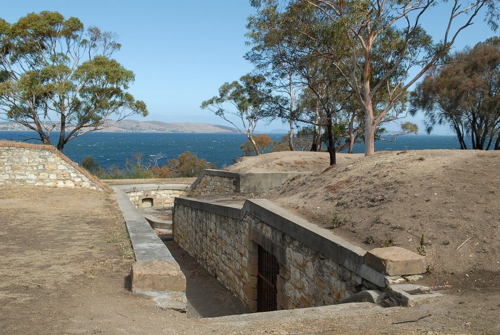
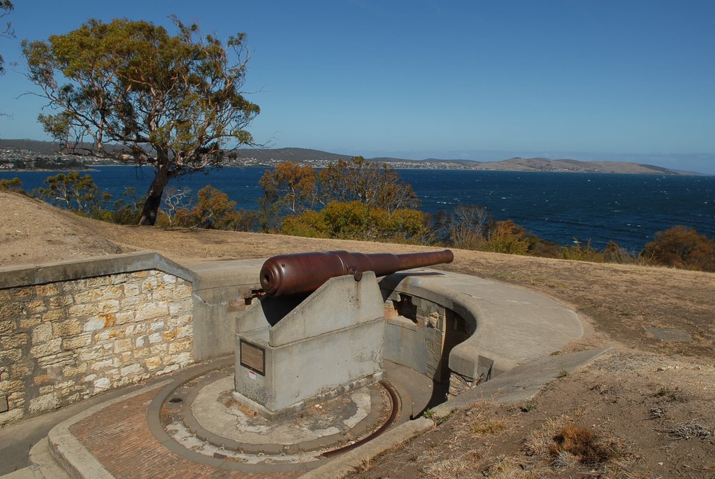
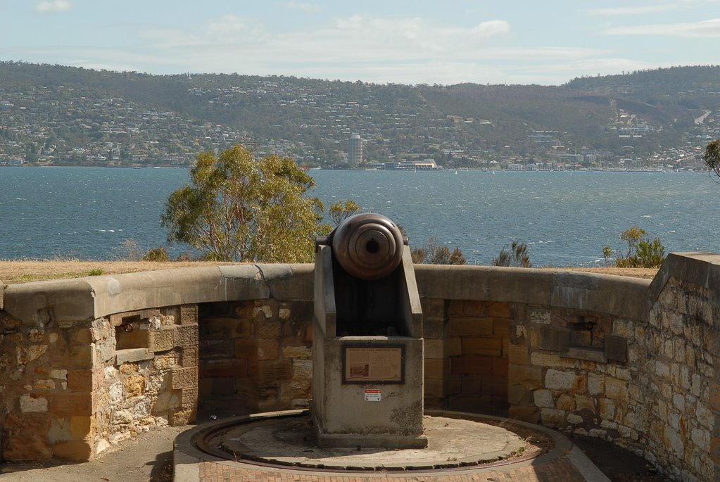
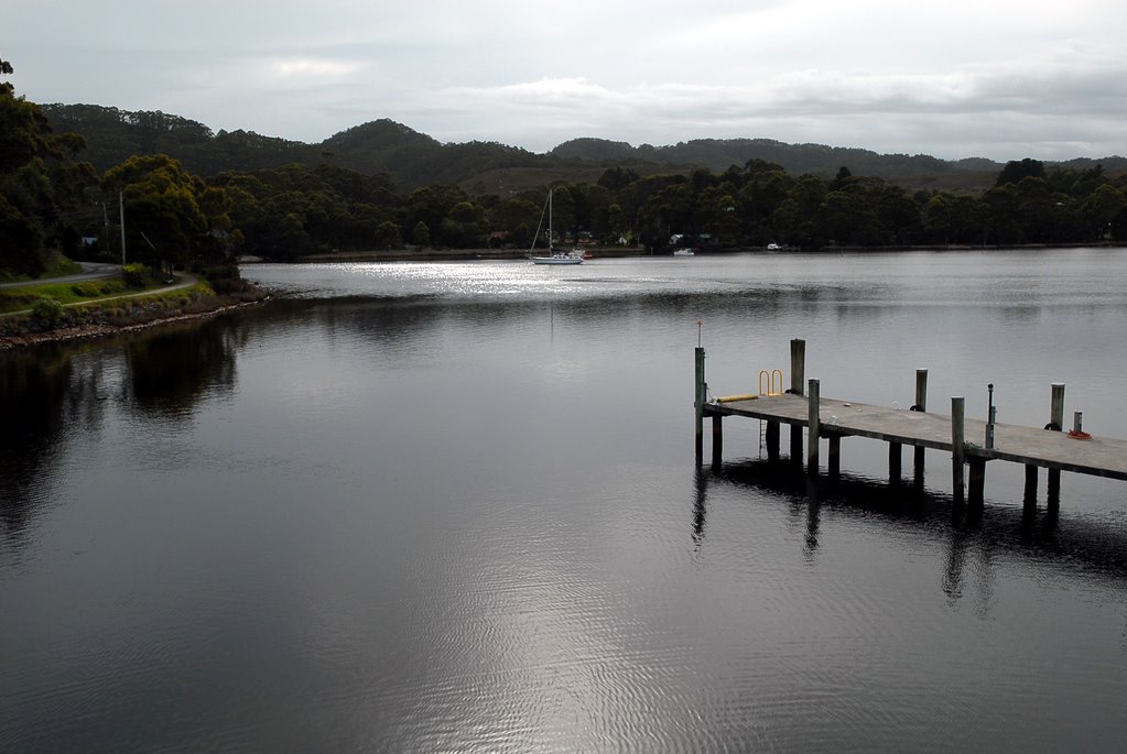
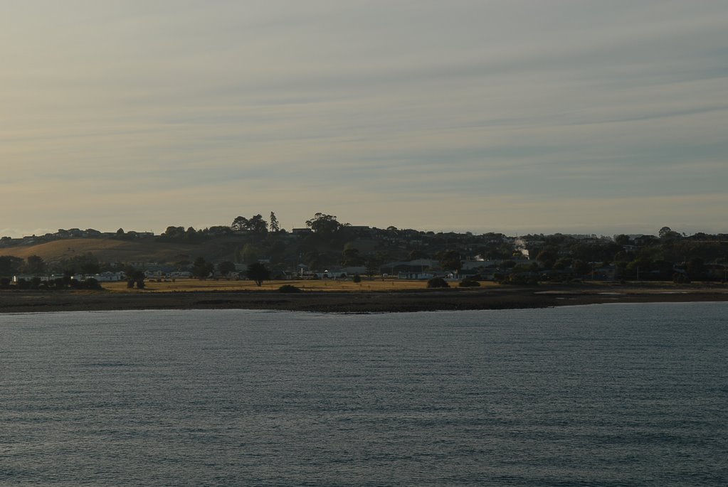
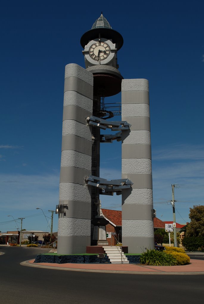
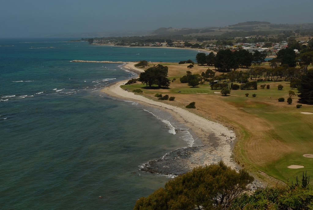
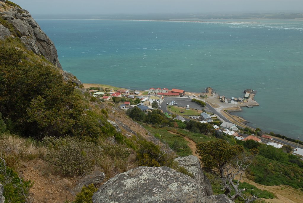
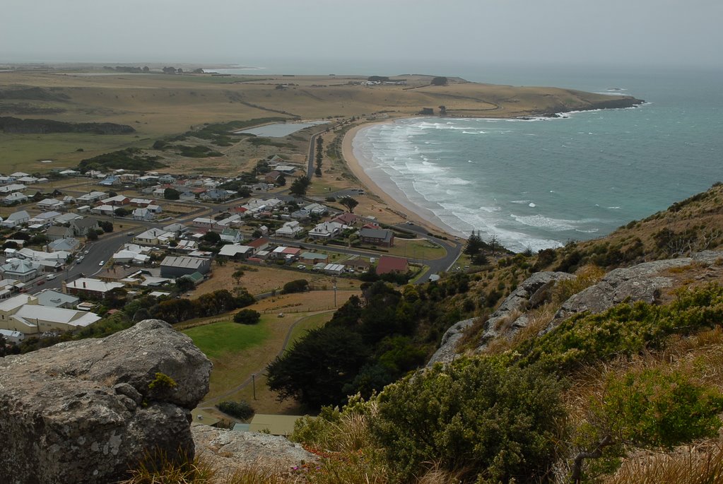
Rosny Lookout on the east side of the Derwent River gave us views of Sandy Bay, Battery Point, the CBD, the Derwent River and the Tasman Bridge. We continued on to Bellerive Village, Kangaroo Bluff Point and the Battery at Kangaroo Point with its original big guns and our last stop for the day was Bellerive Cricket Ground.
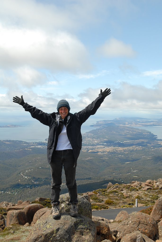
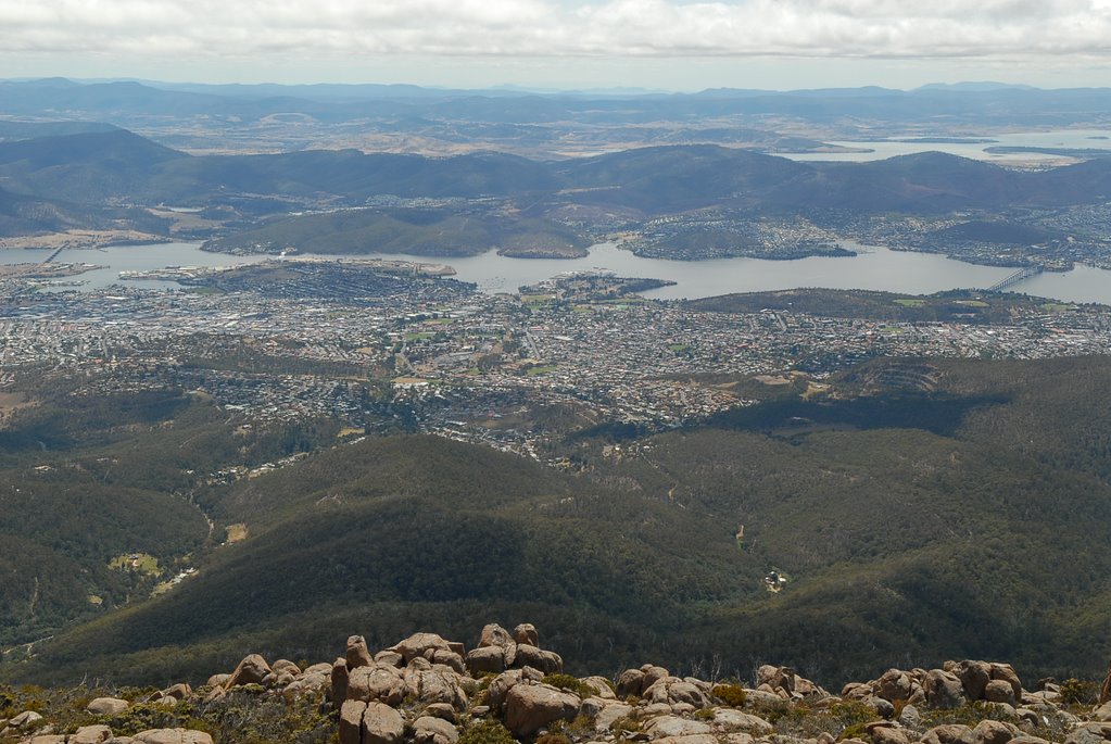
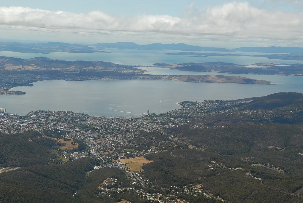
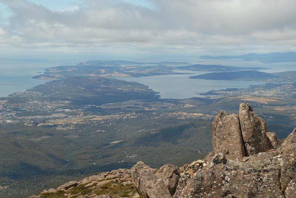
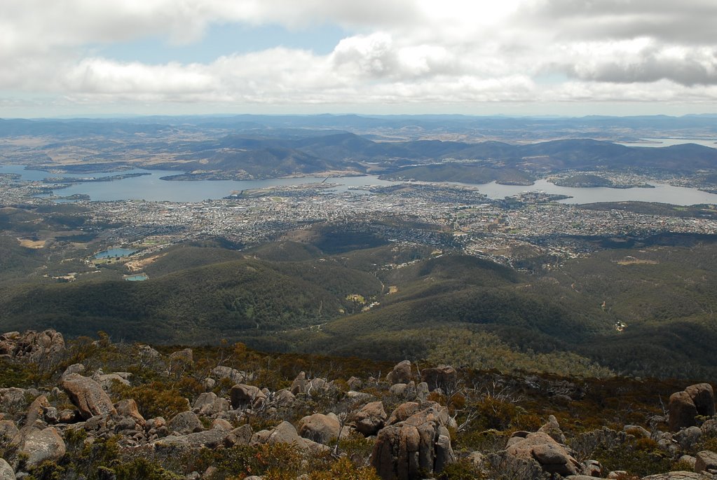
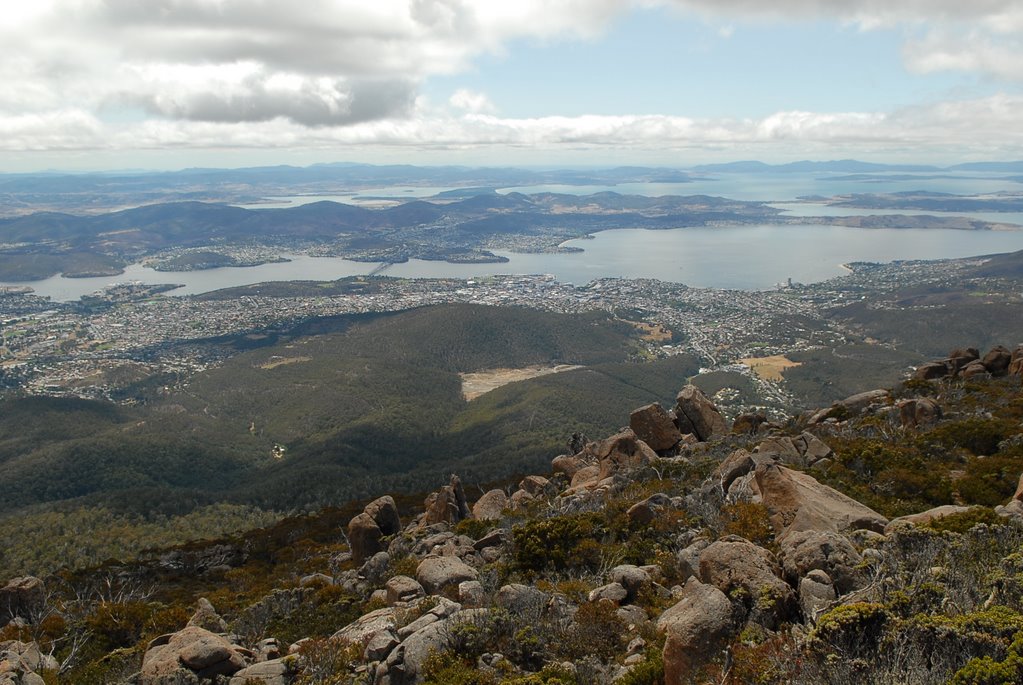
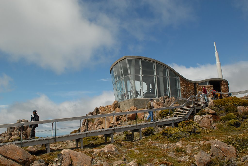
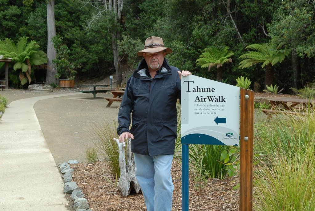
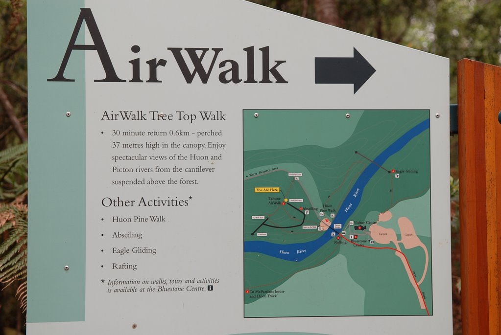
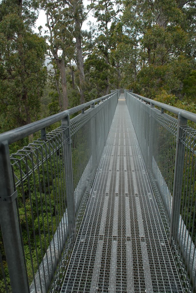
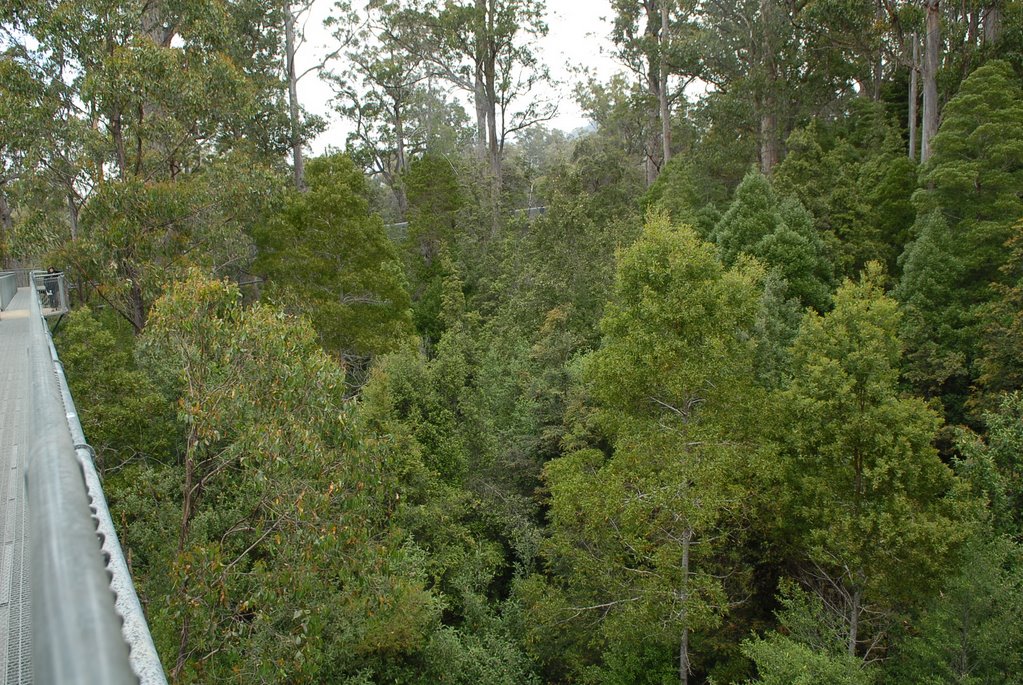
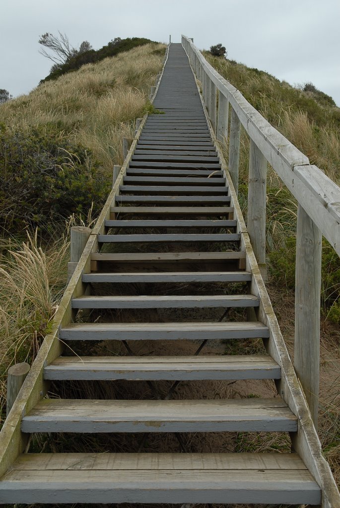
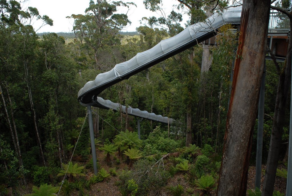
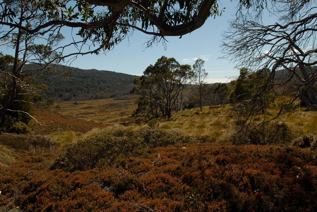
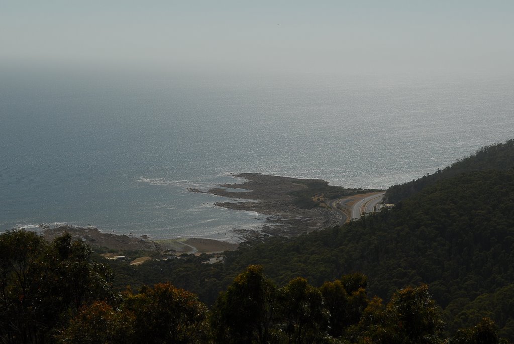
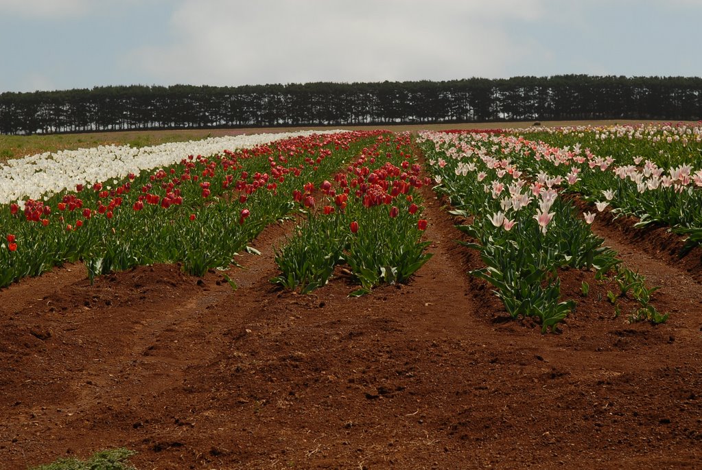
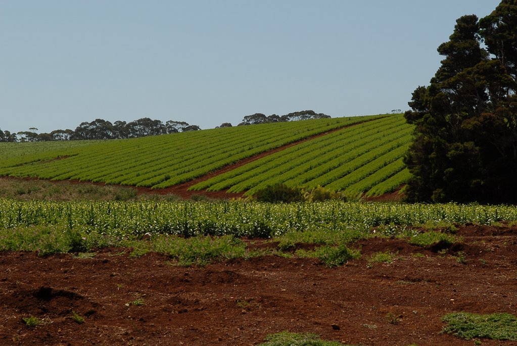
We had made Hobart our base so that we could explore the surrounding areas easily without the caravan. The day was beautiful and fine so we decided to head to the top of Mt Wellington again to see the view this time. There was no wind and the view was spectacular. We drove south along the Huon Trail to the Tahune Airwalk.
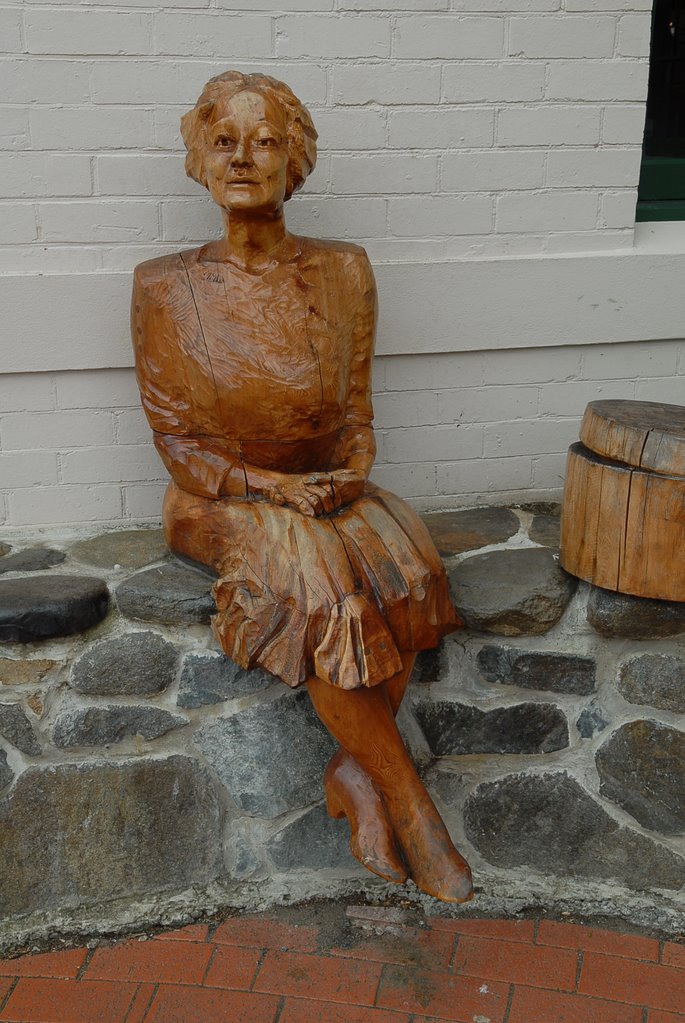
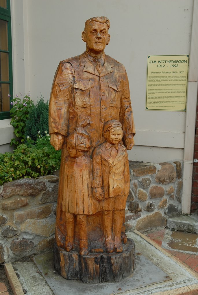
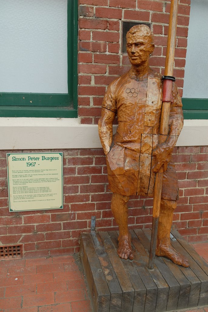
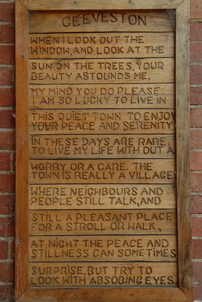
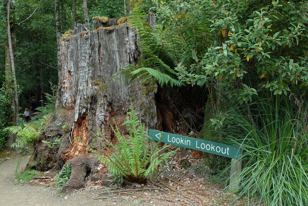
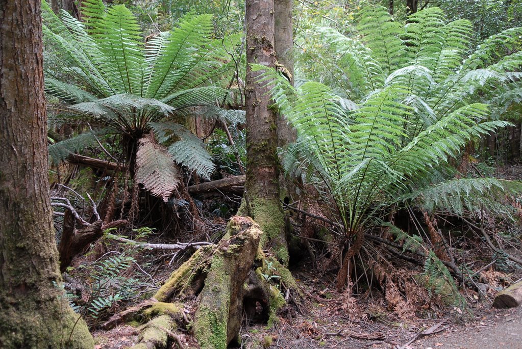
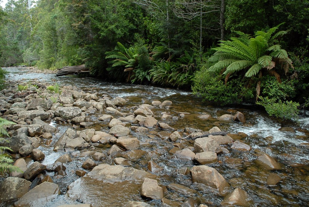
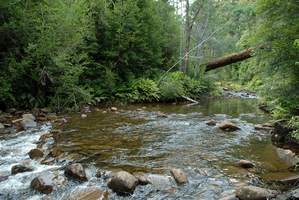
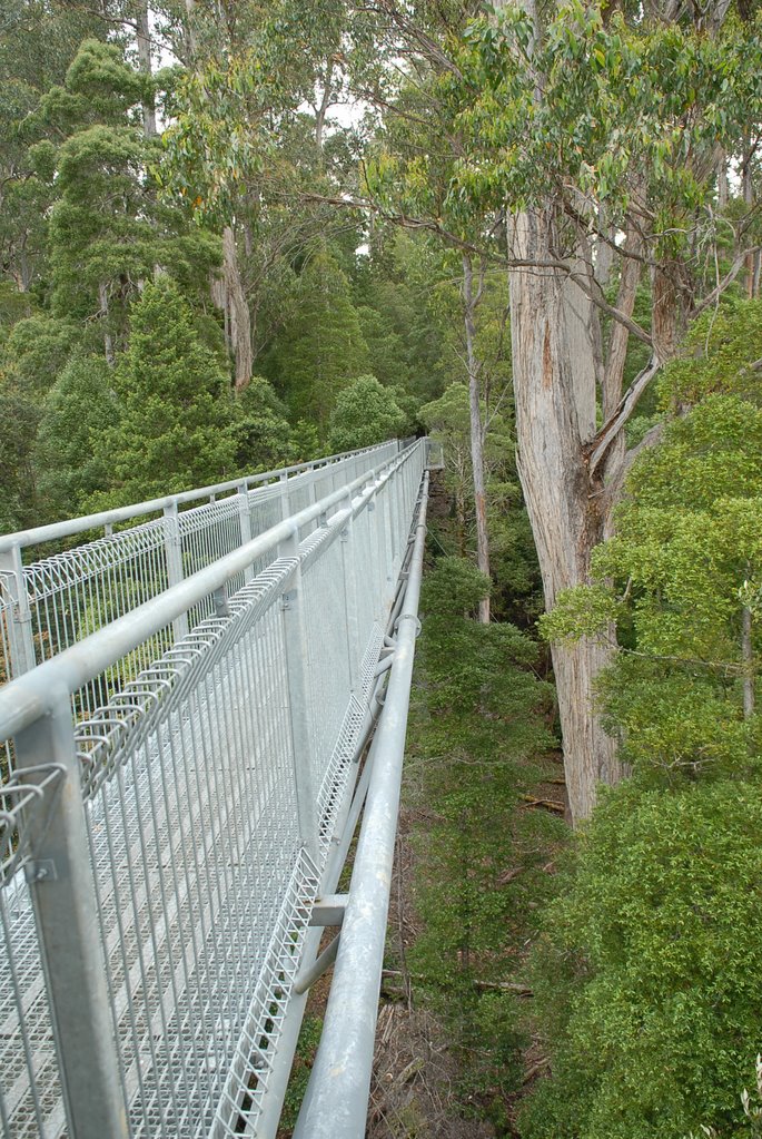
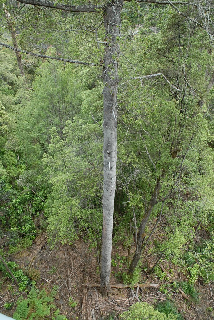
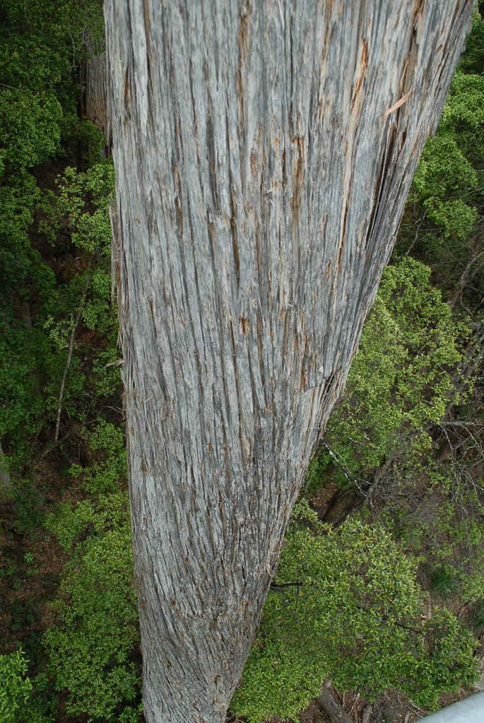
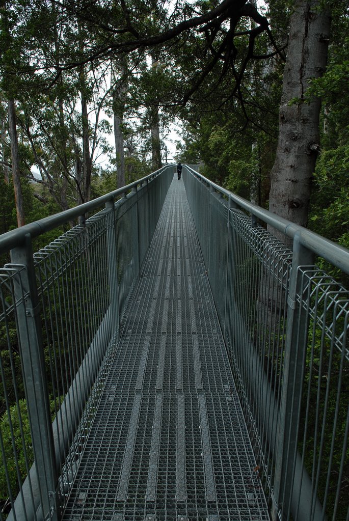
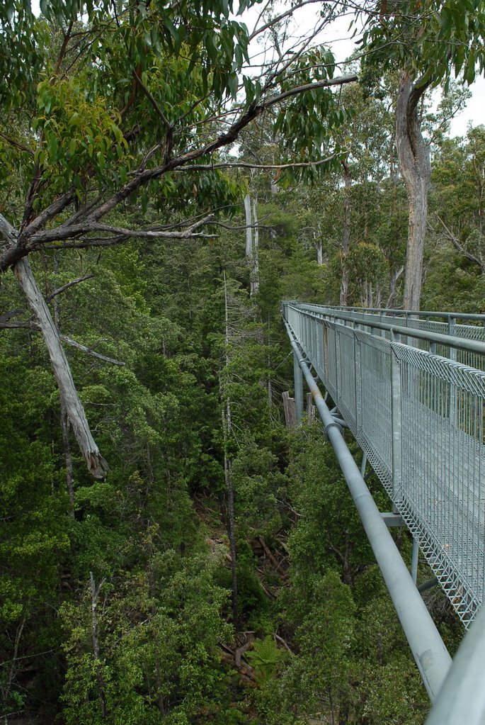
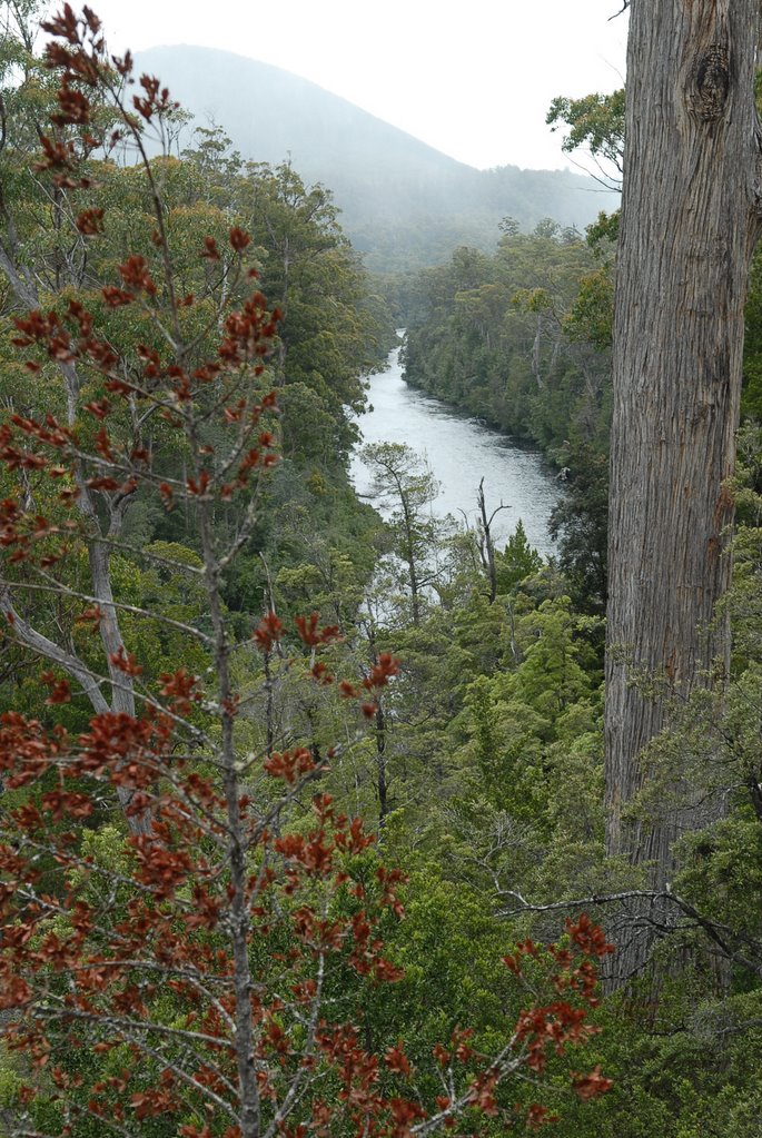
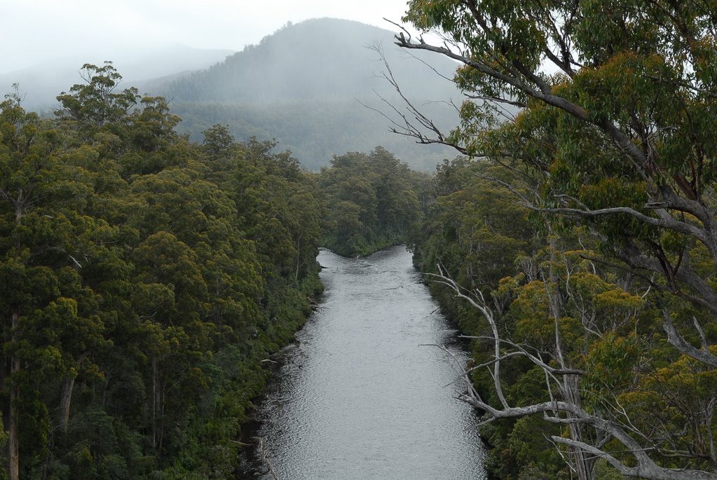
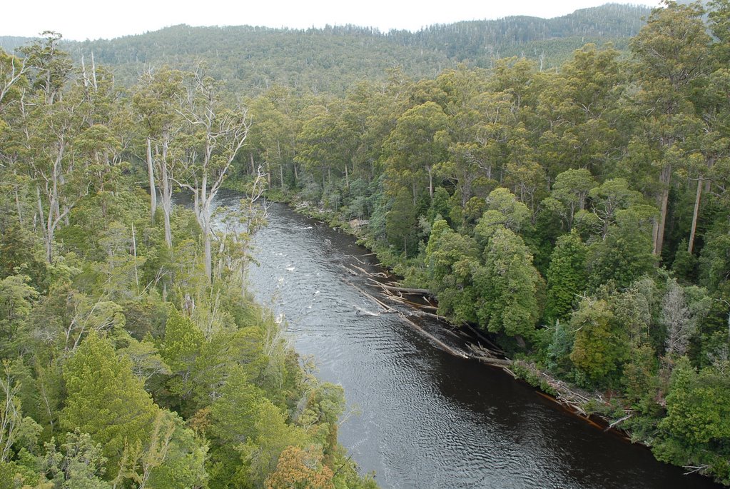
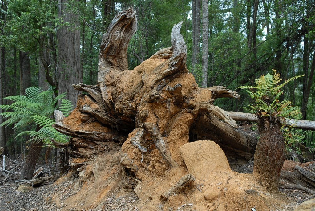
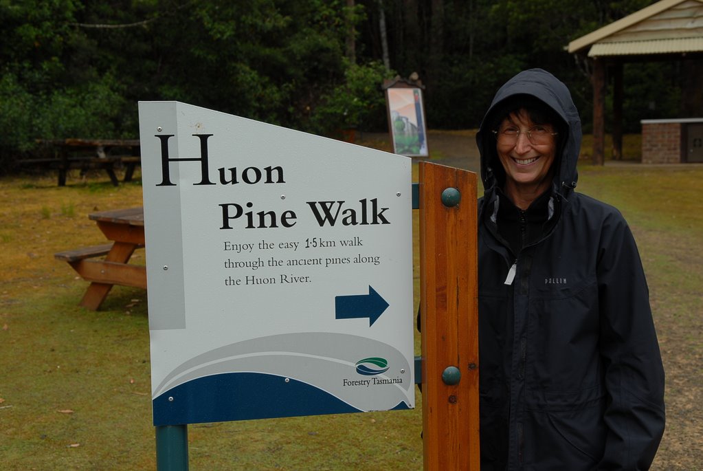
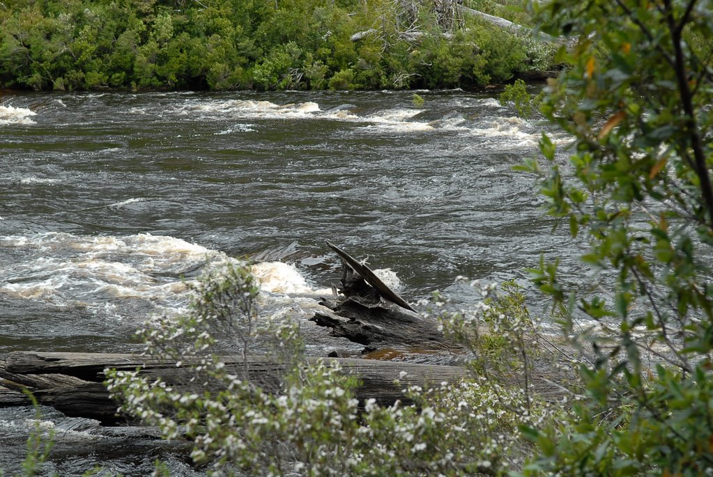
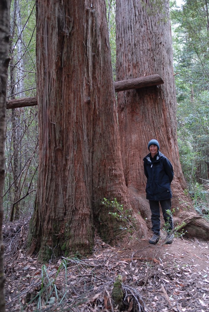
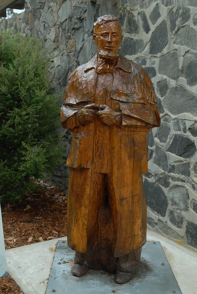
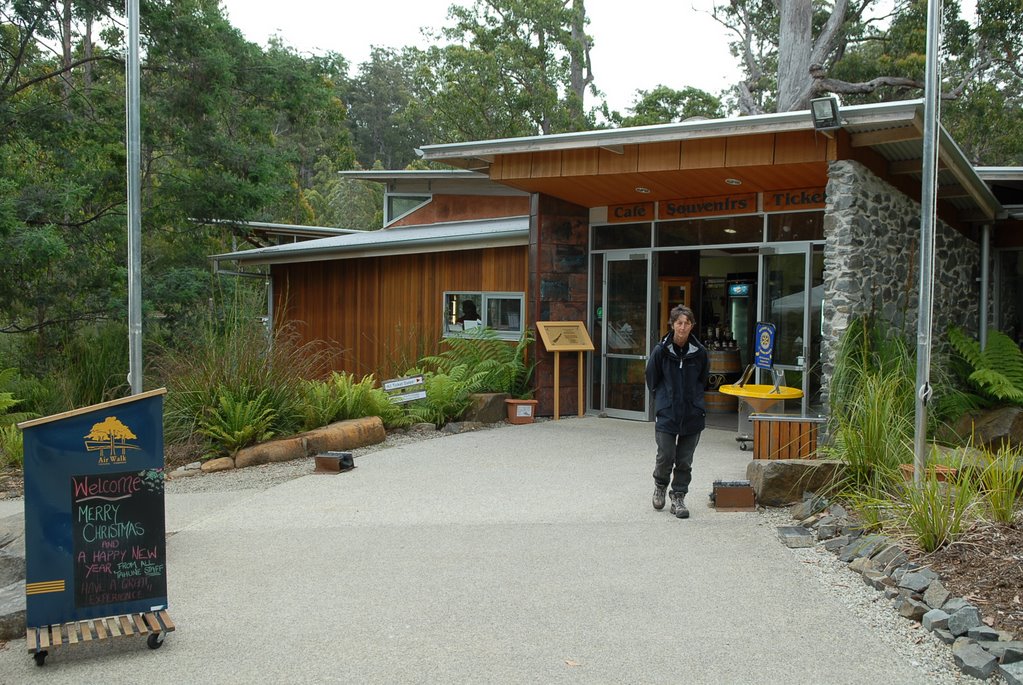
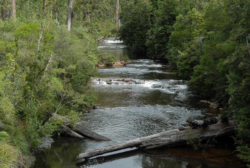
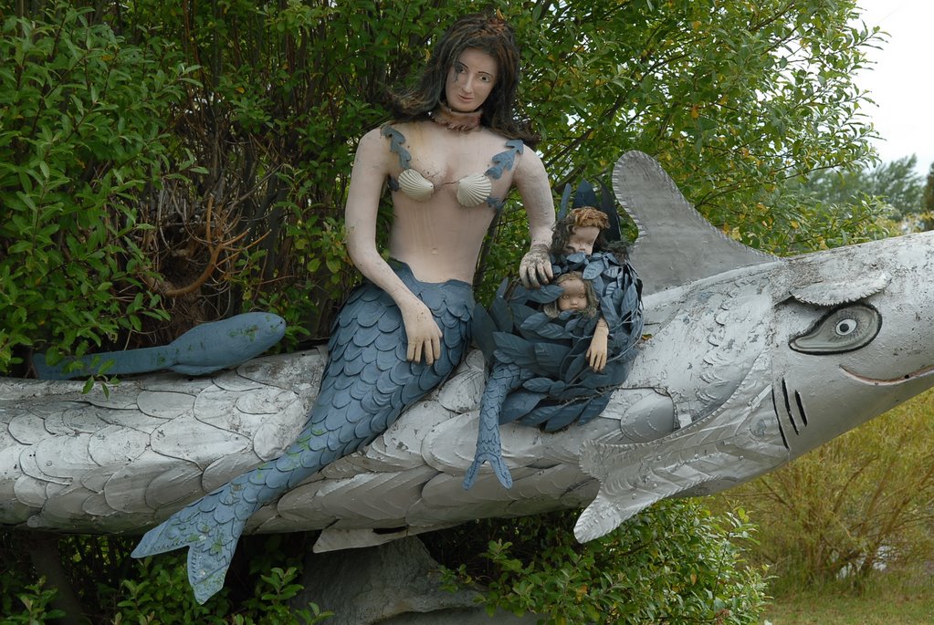
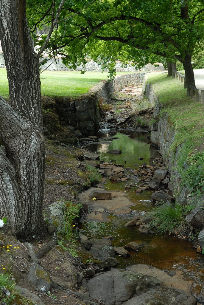
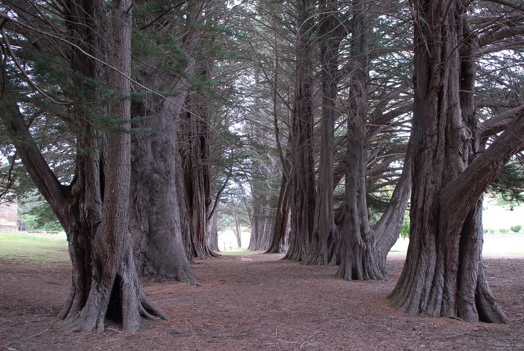
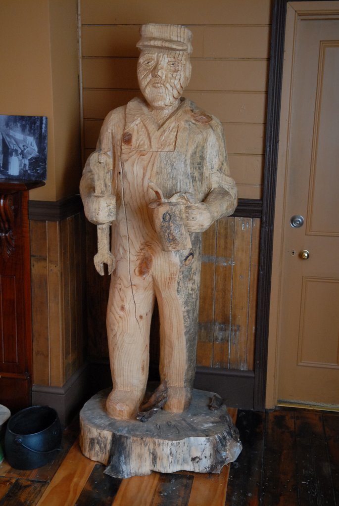
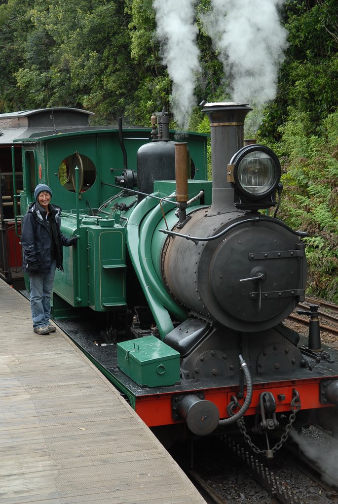
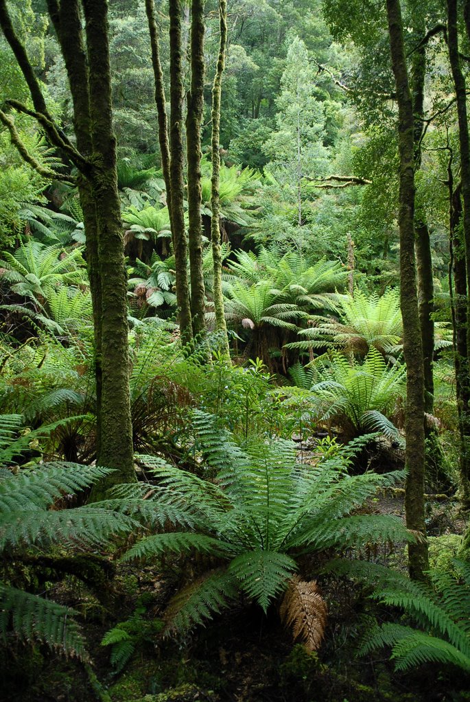
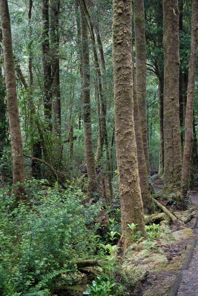
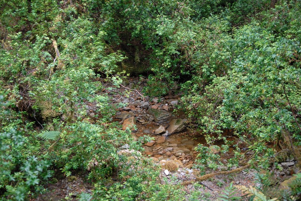
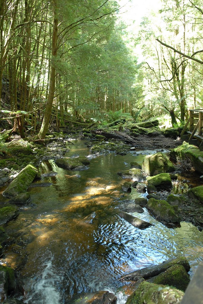
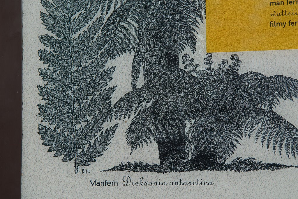
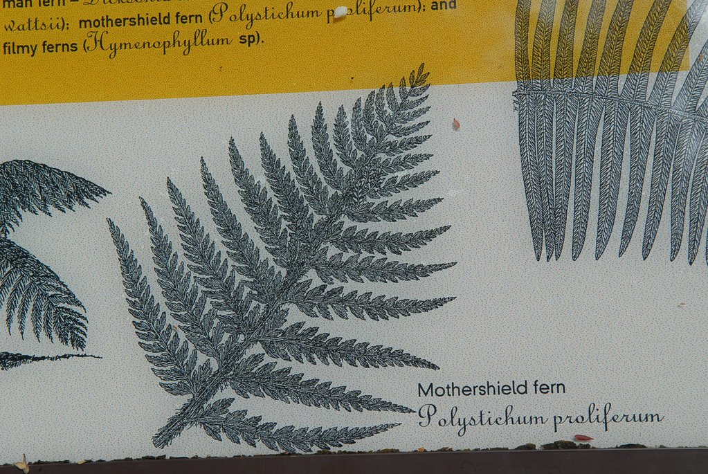
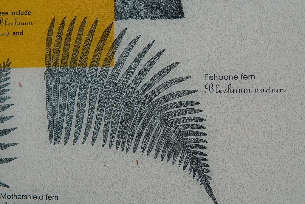
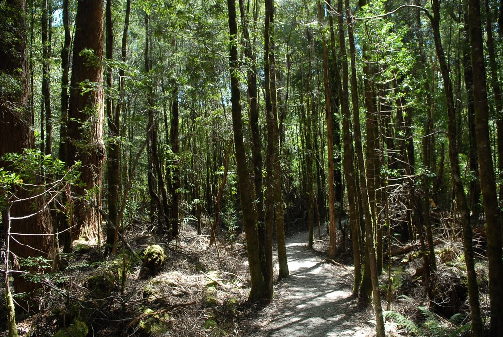
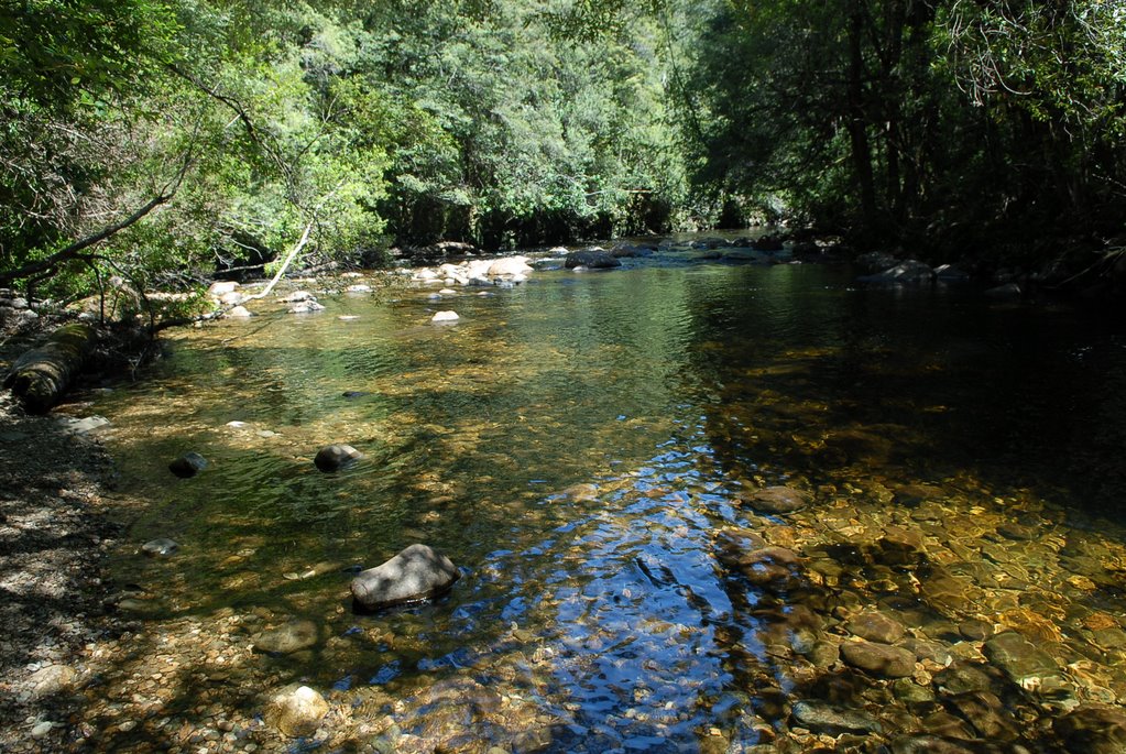
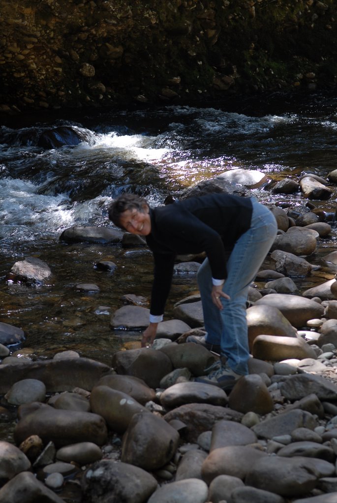
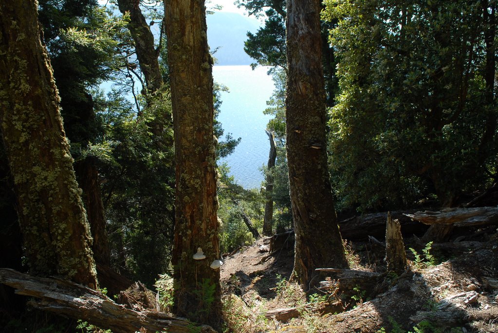
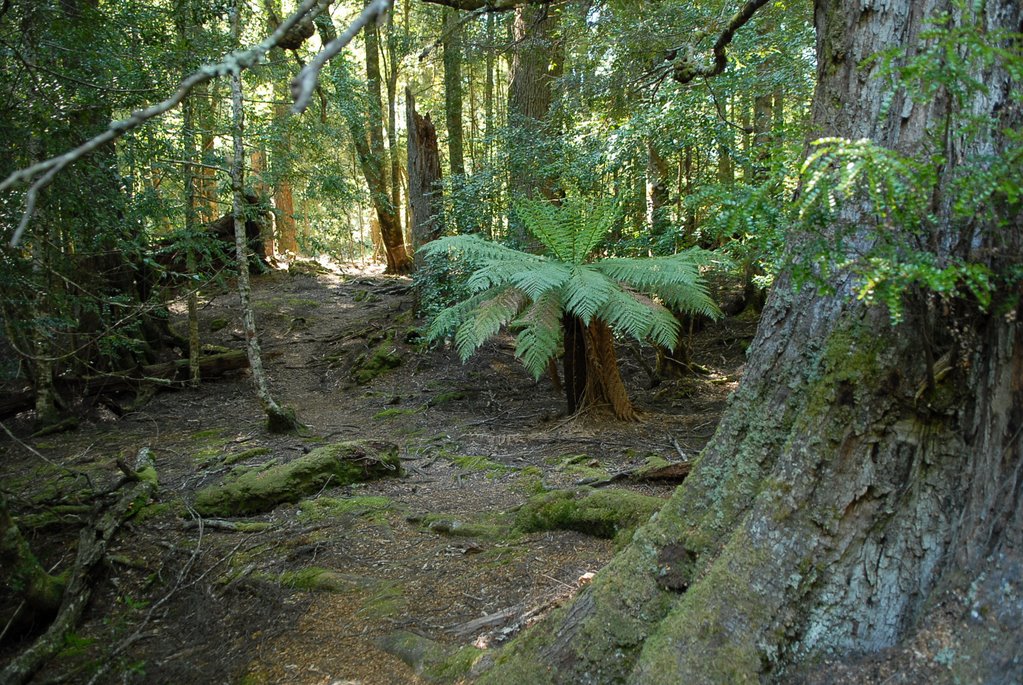
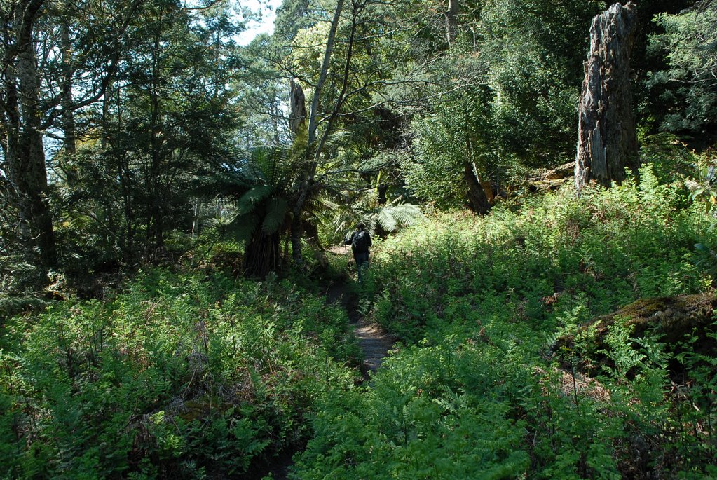
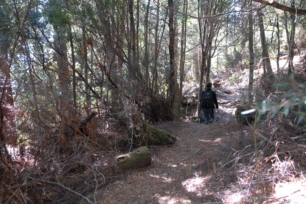
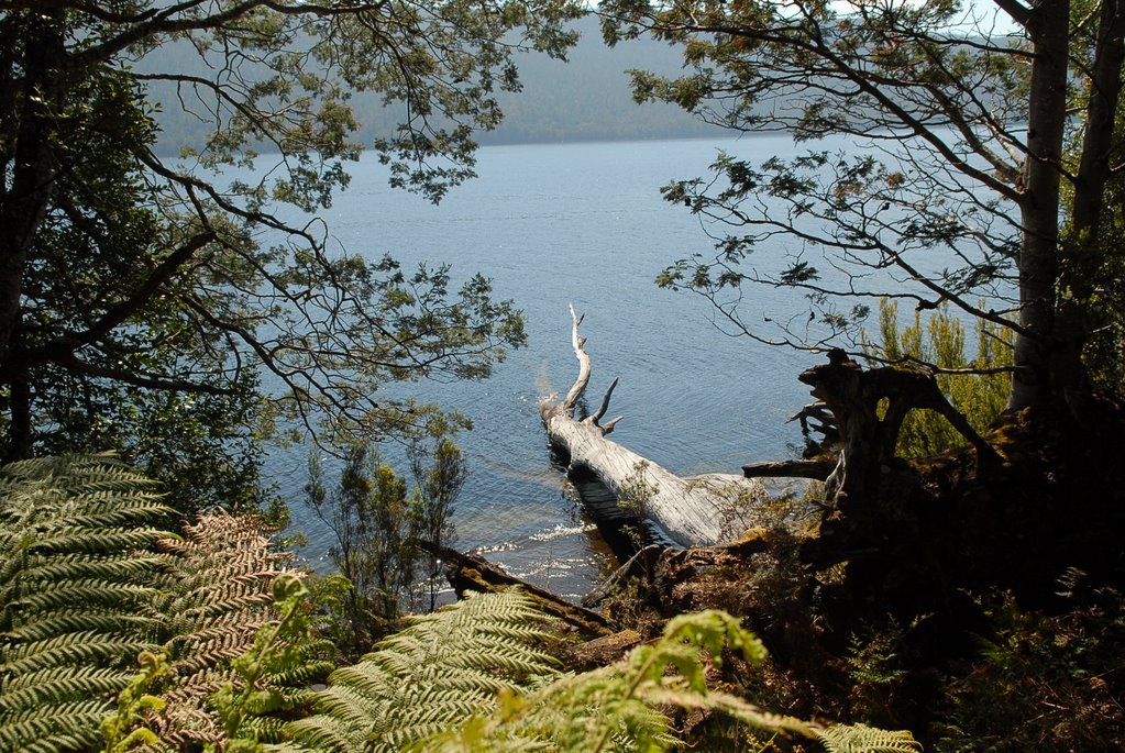
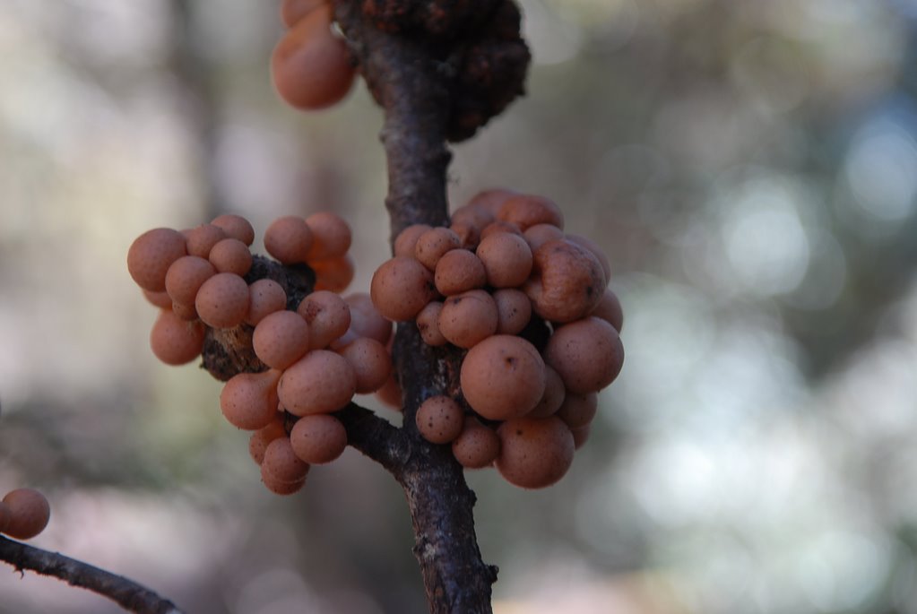
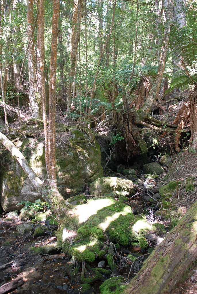
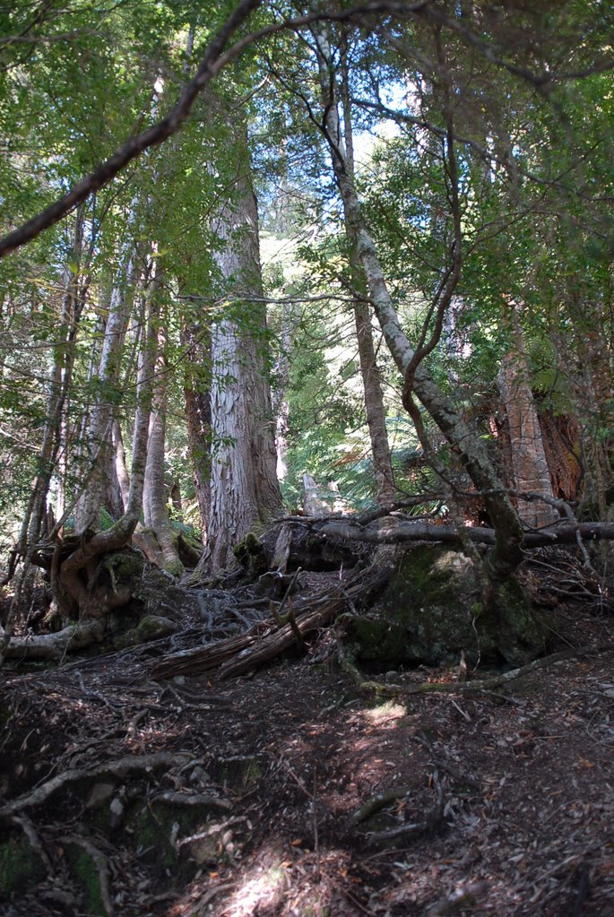
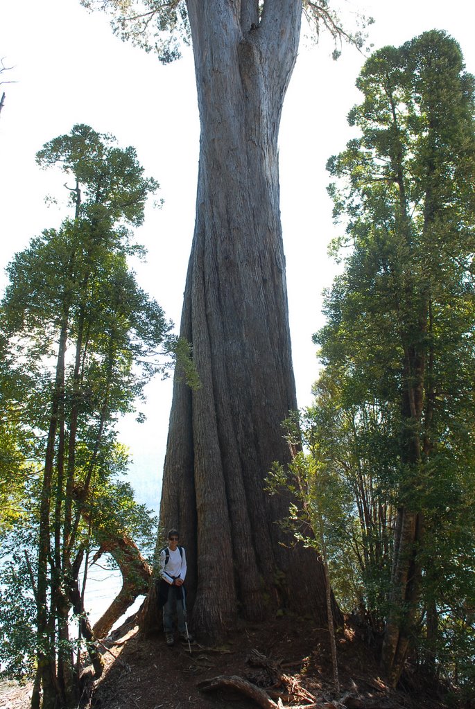
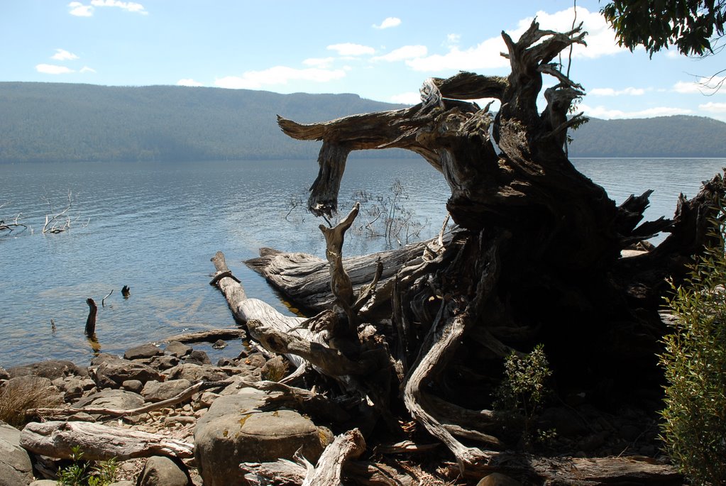
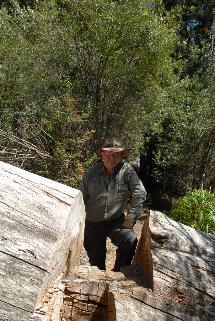
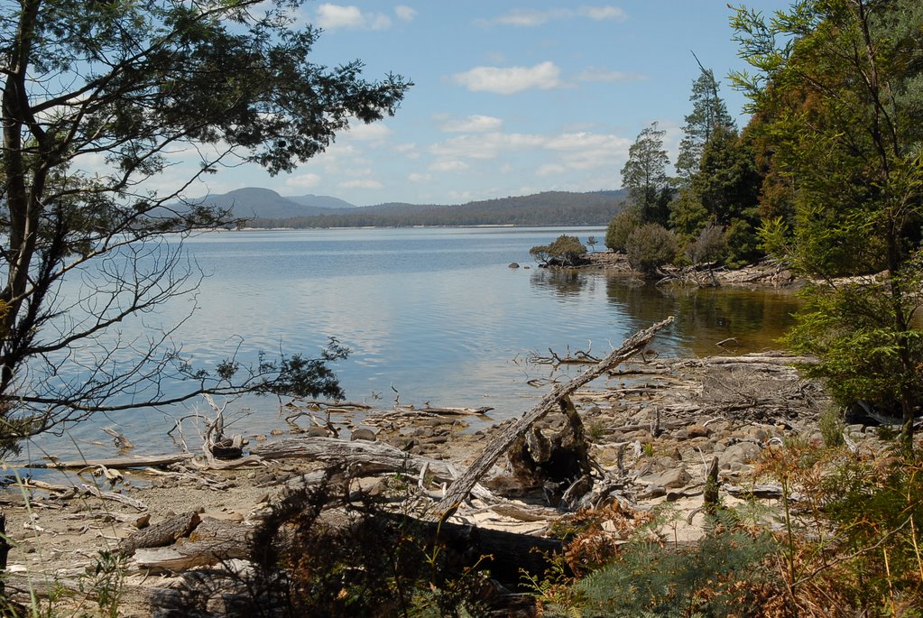
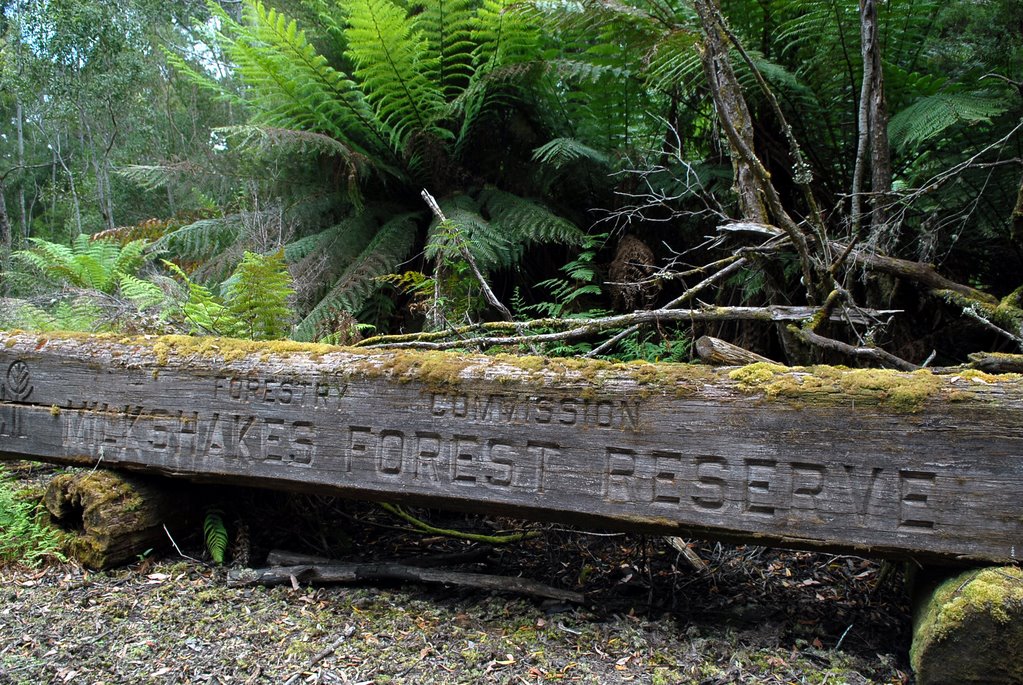
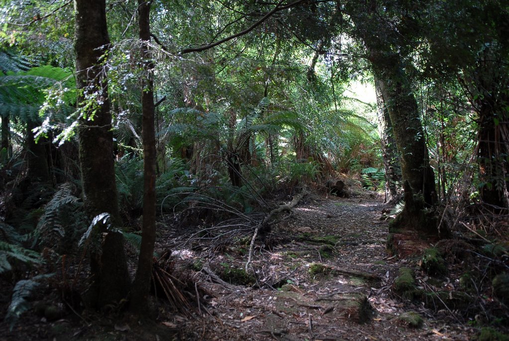
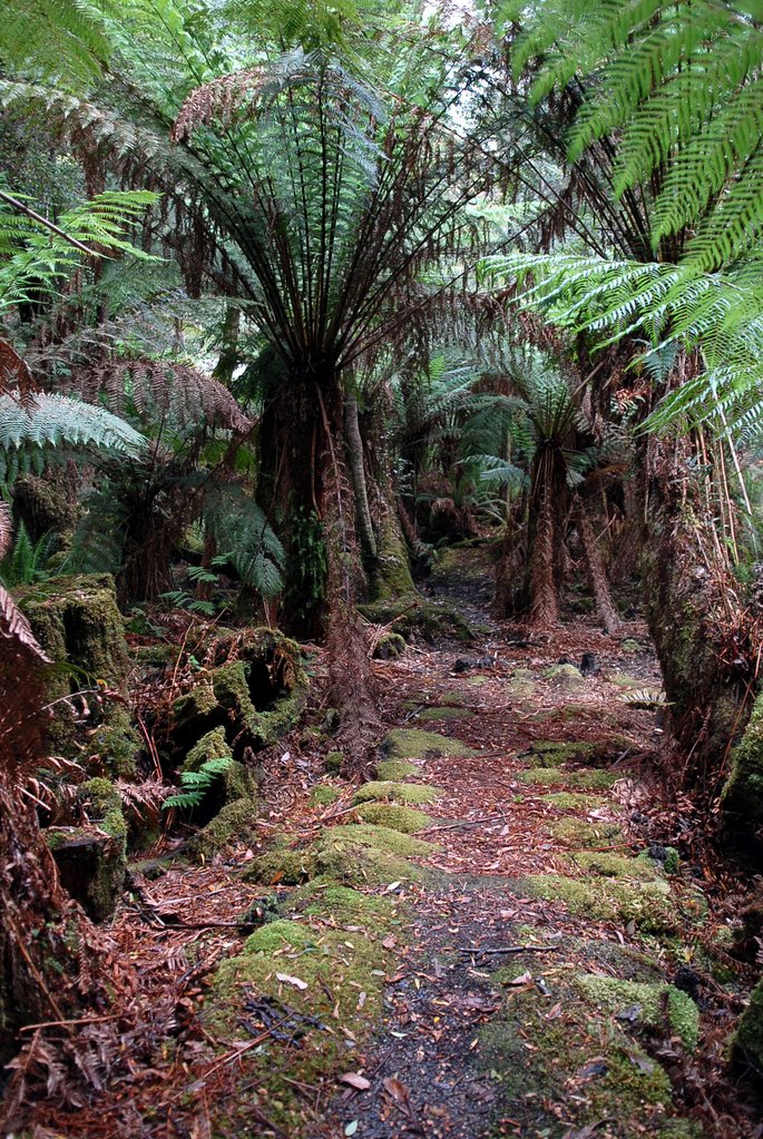
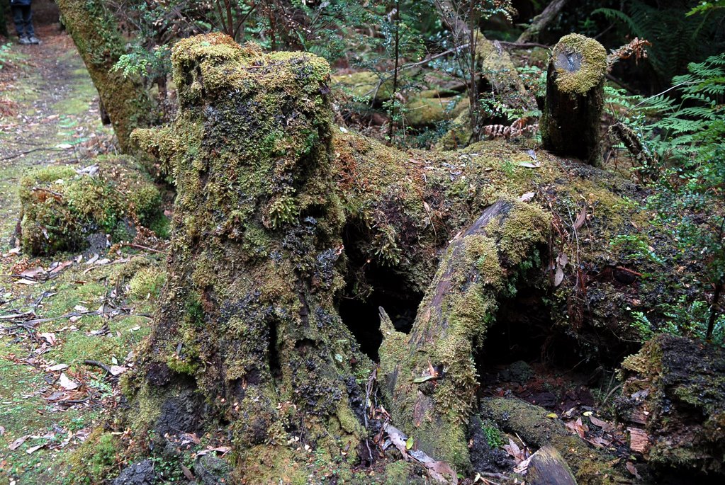
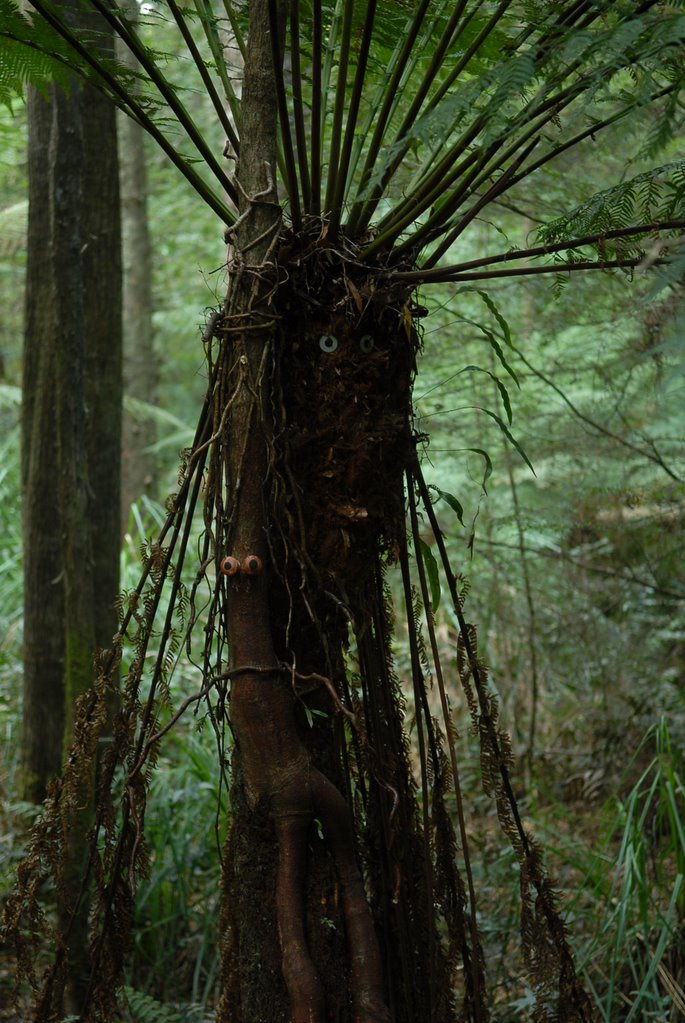
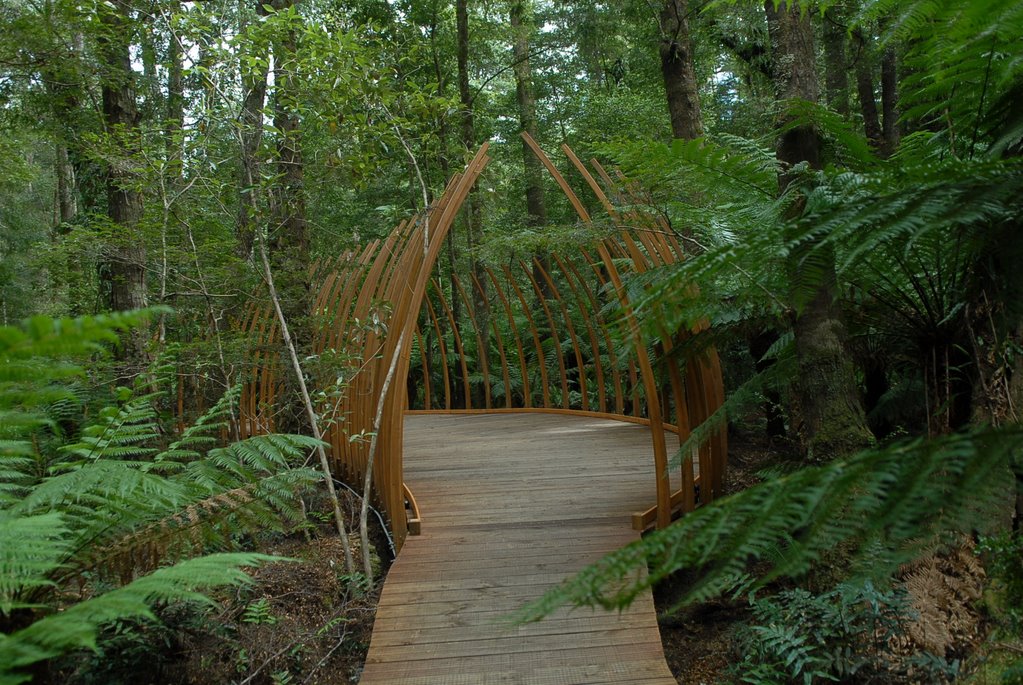
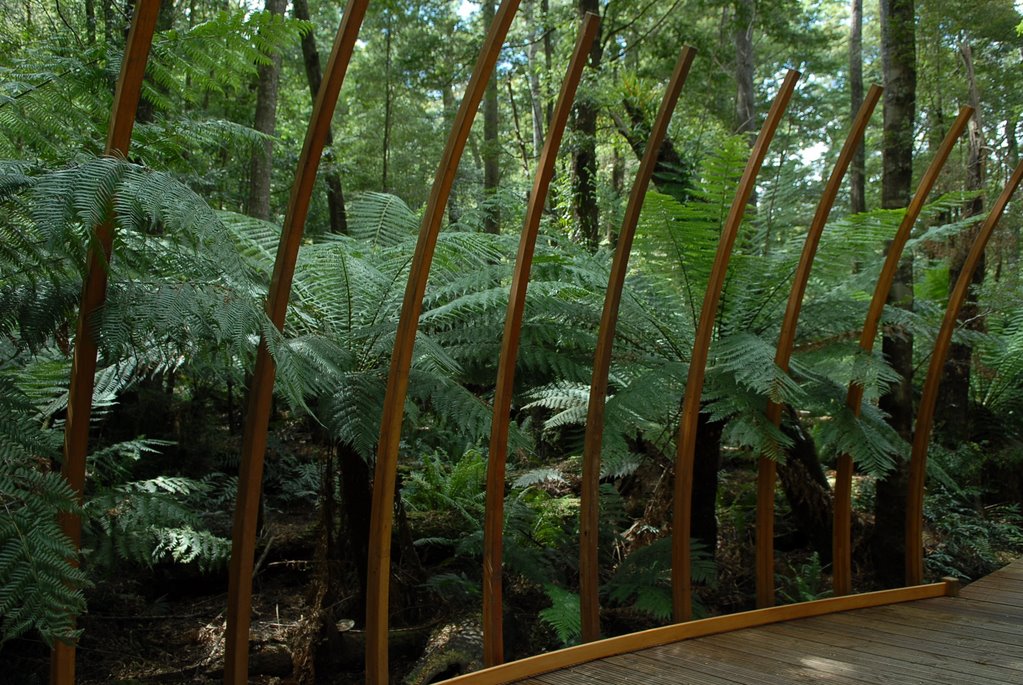
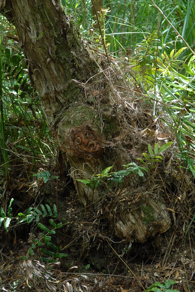
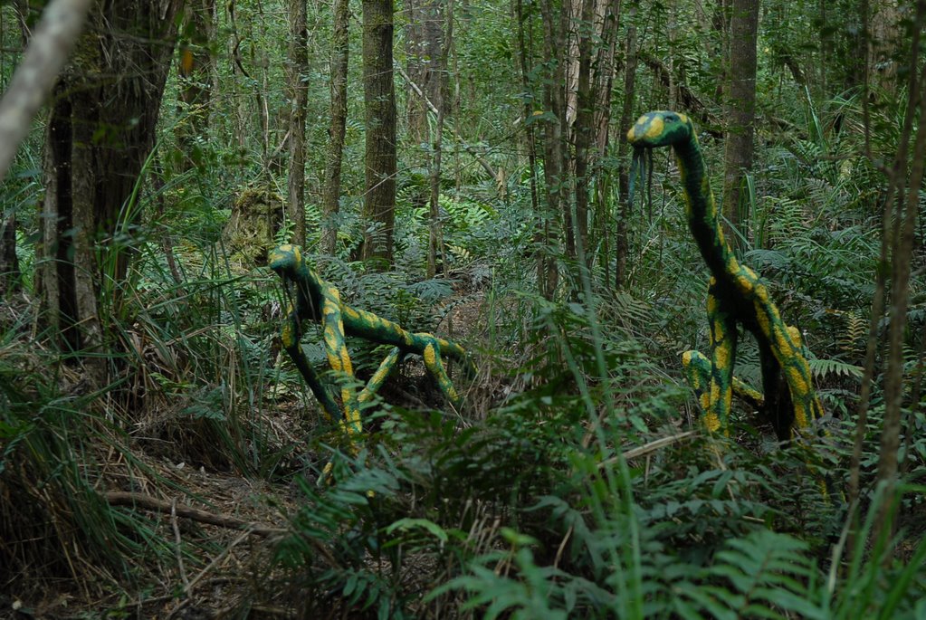
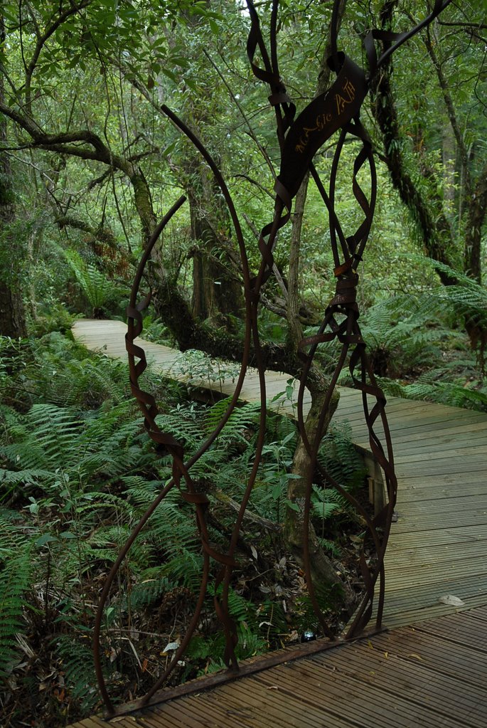
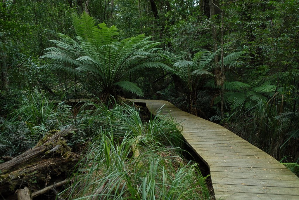
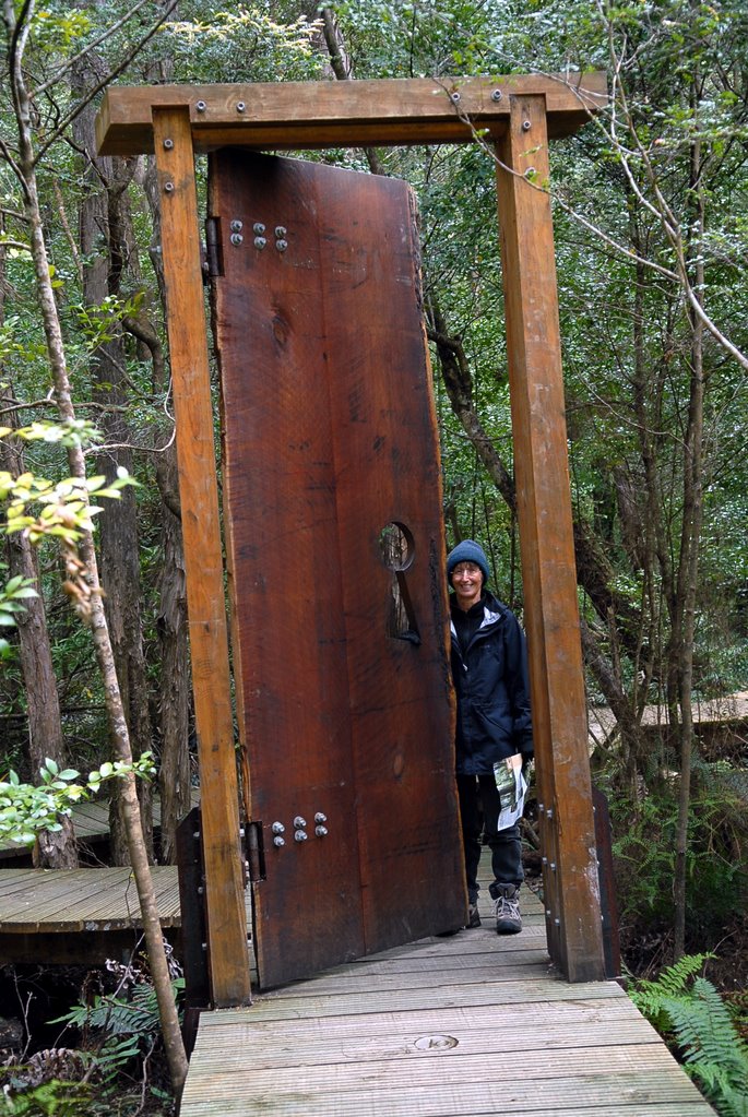
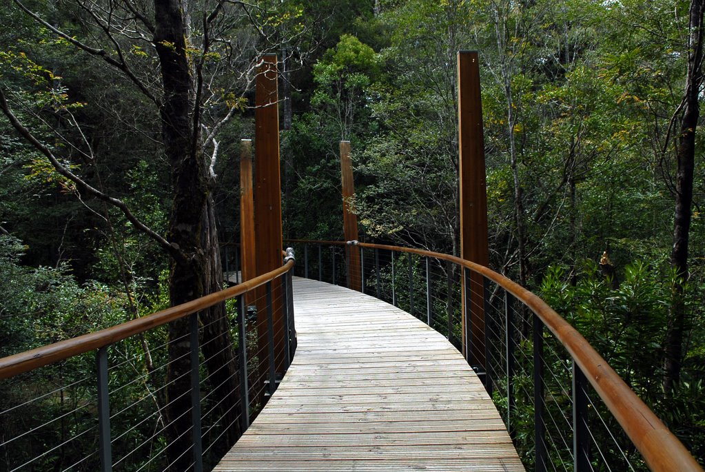
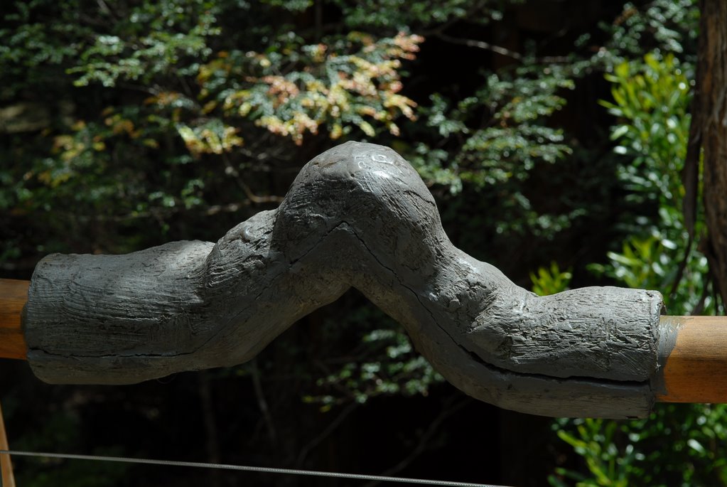
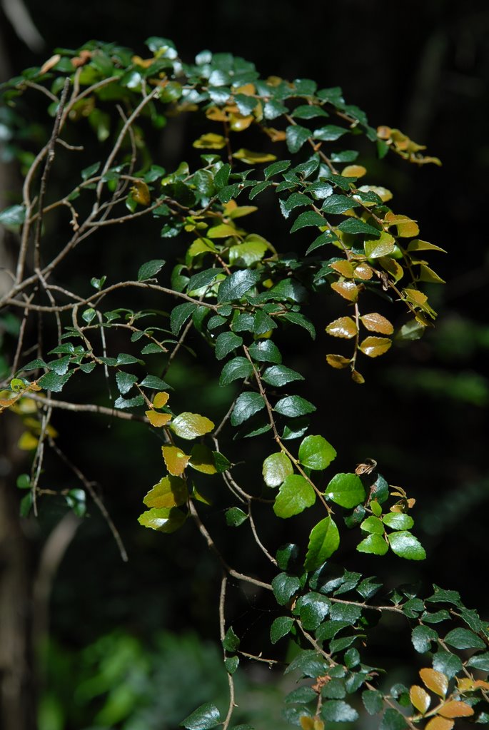
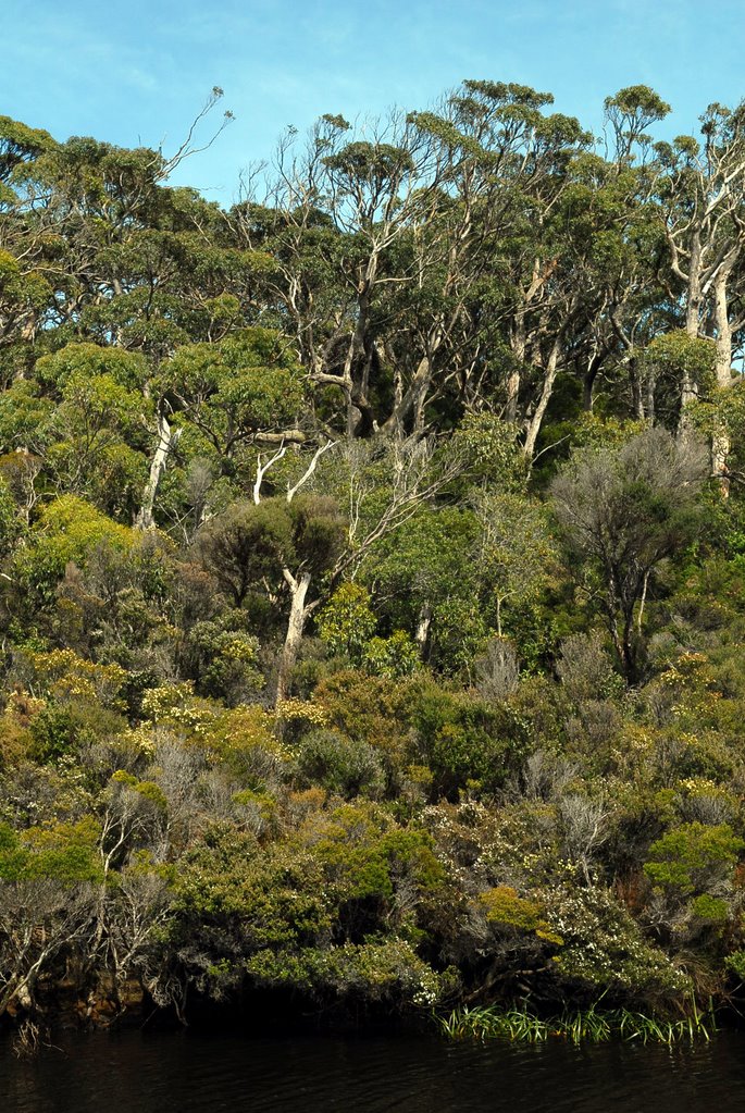
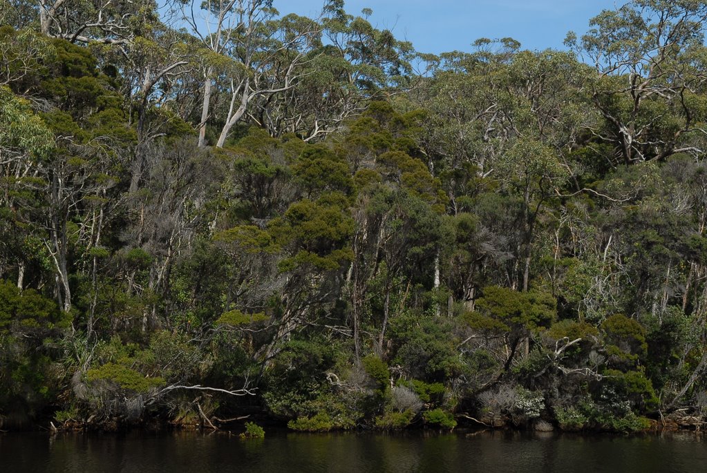
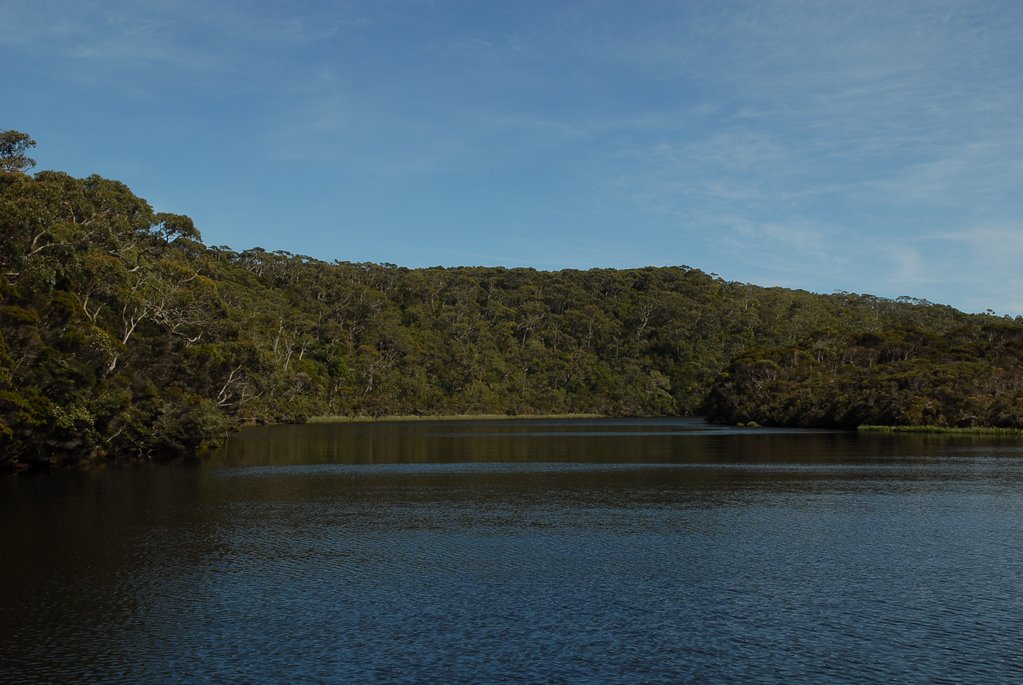
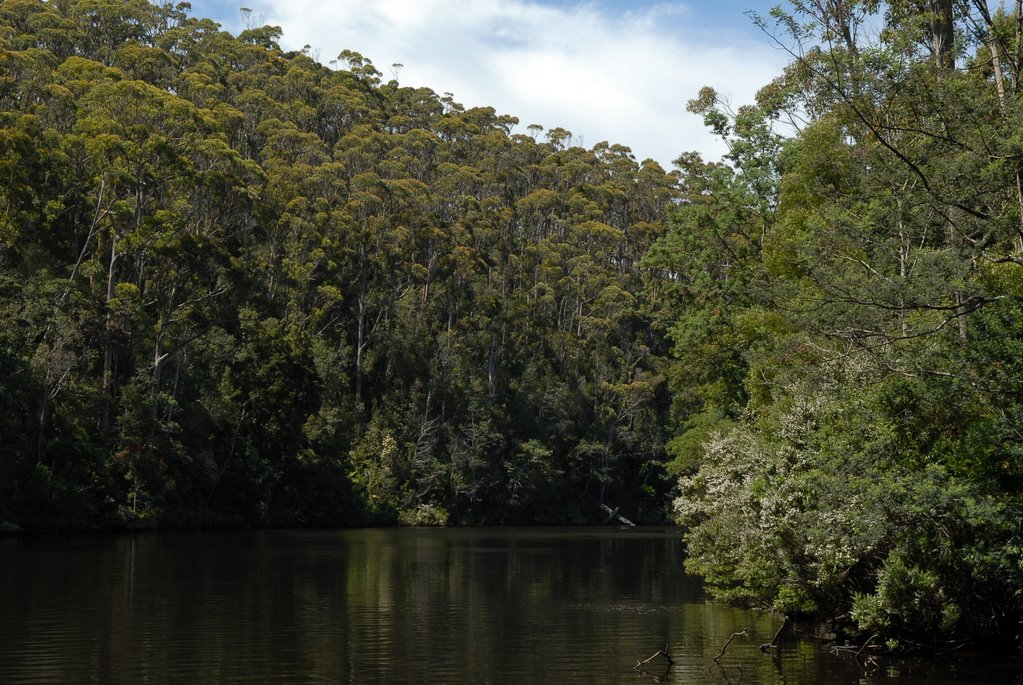
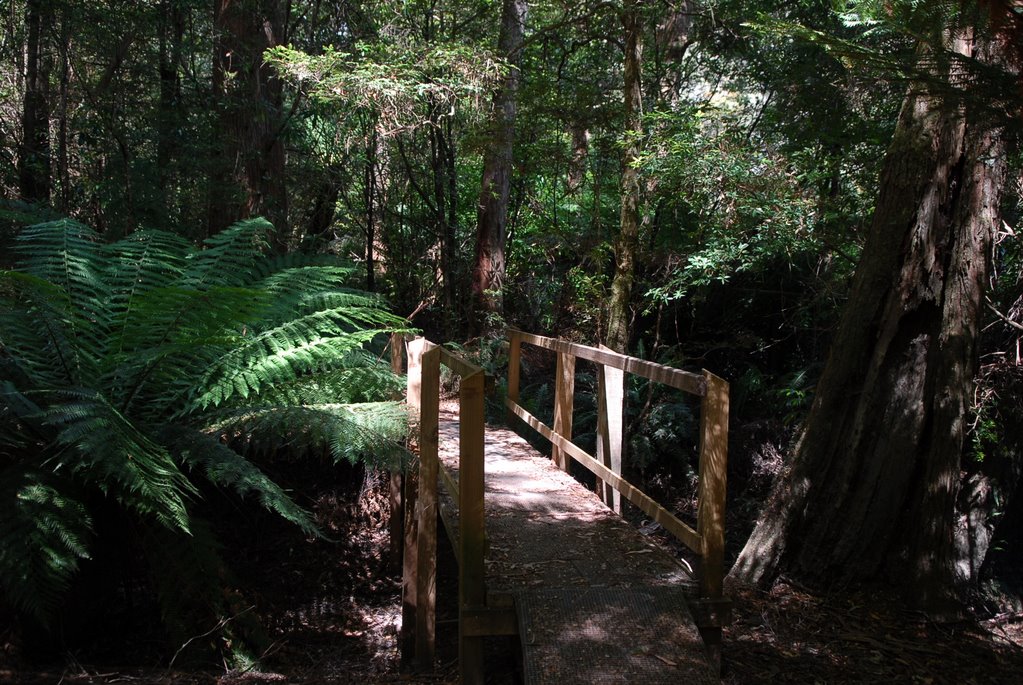
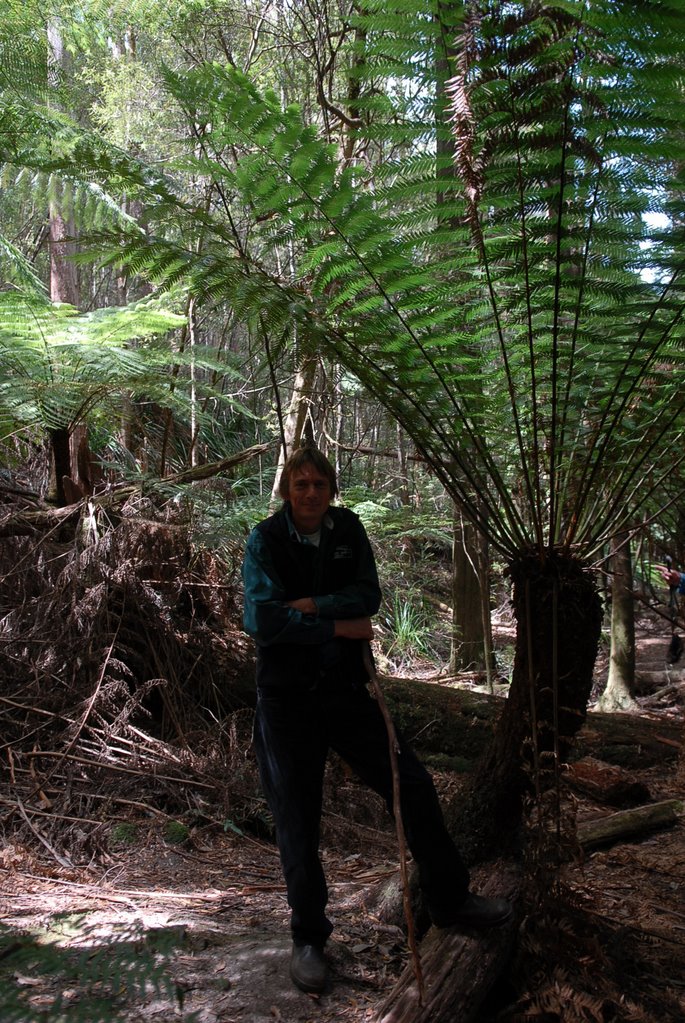
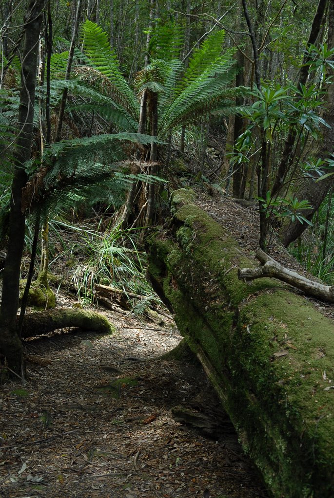
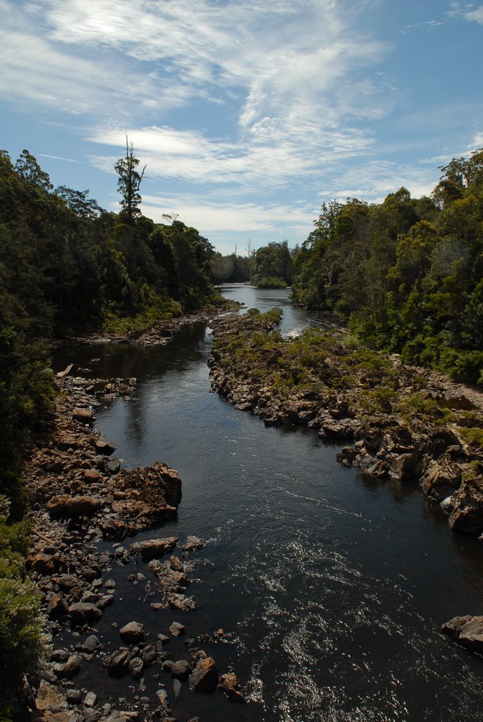
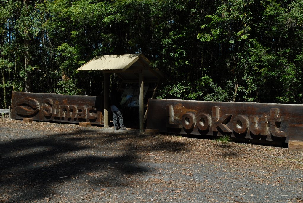
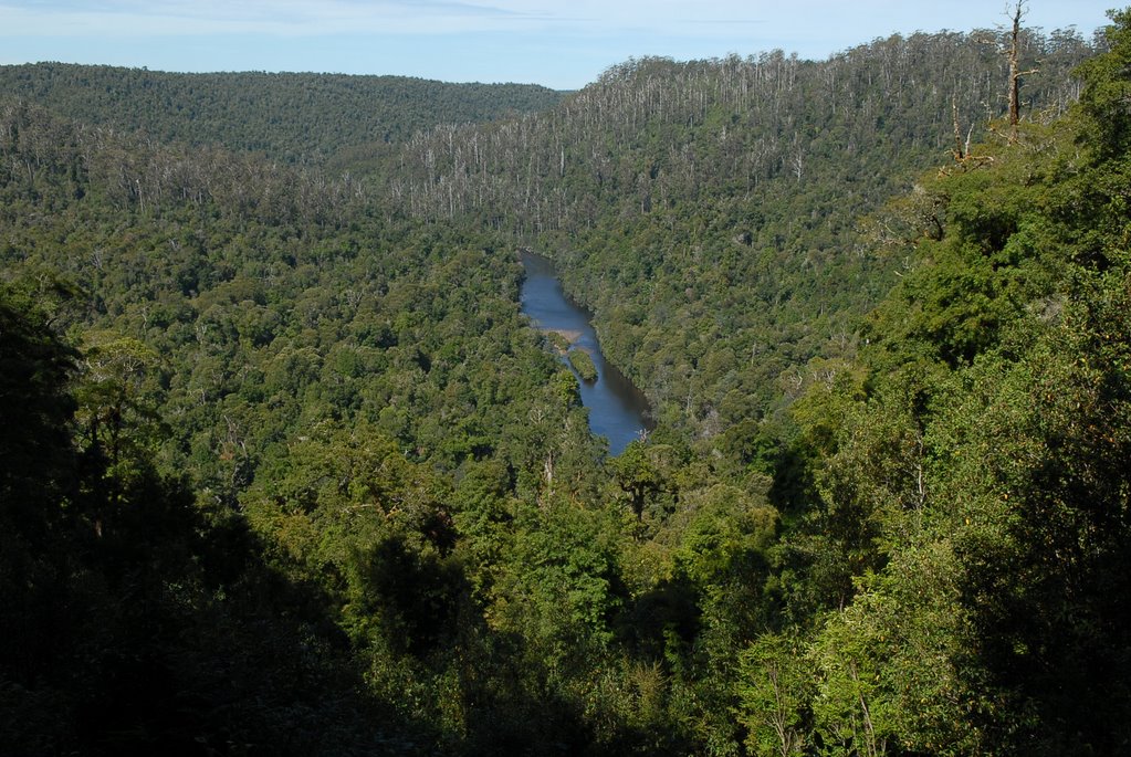
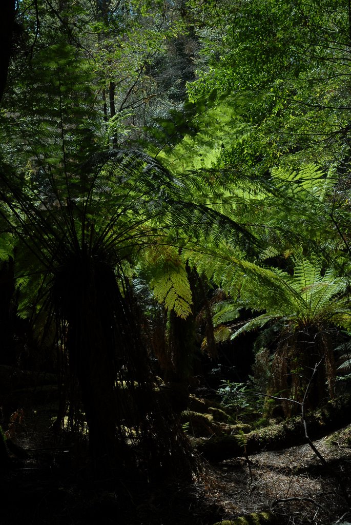
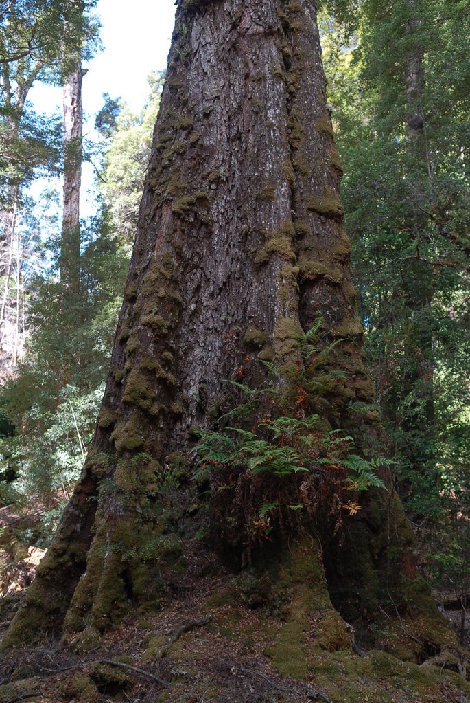
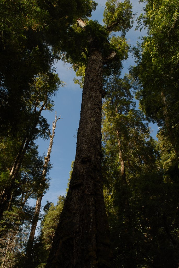
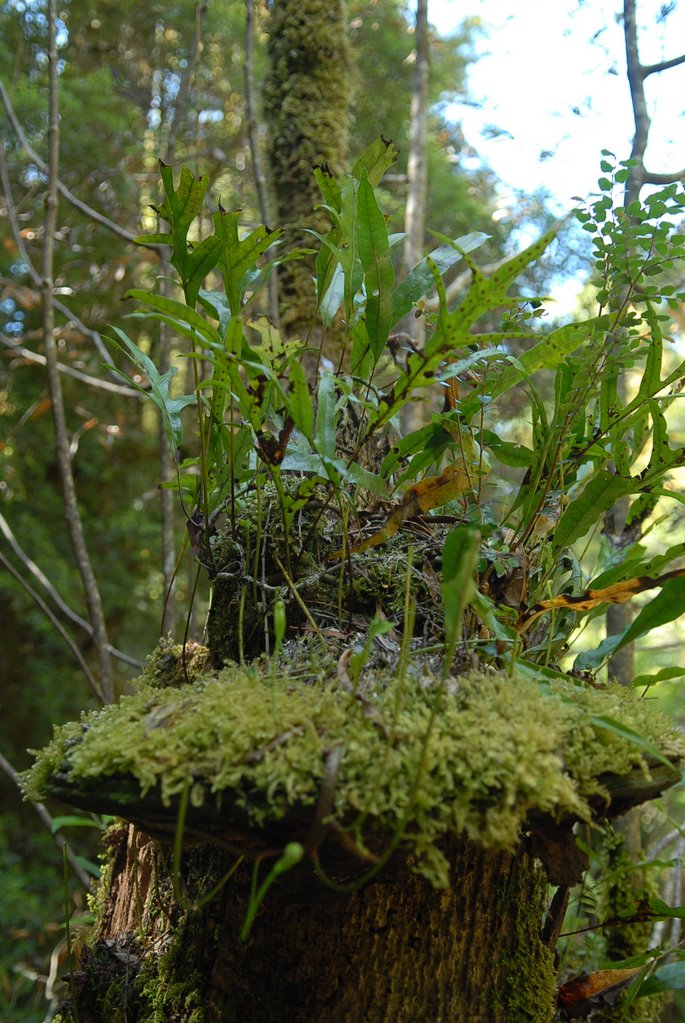
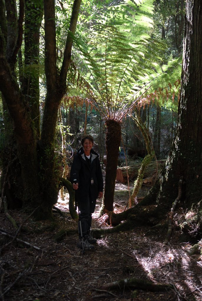
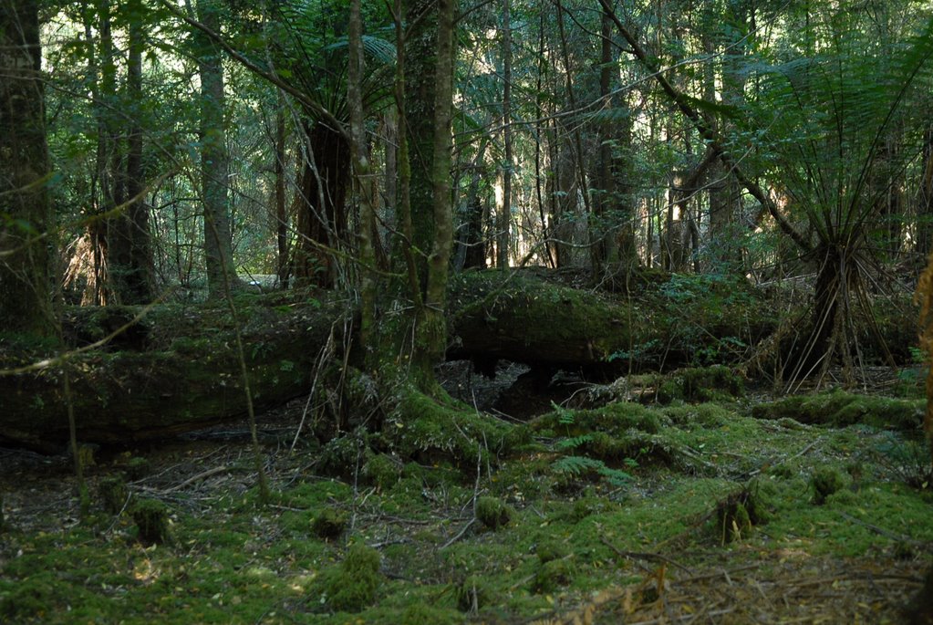
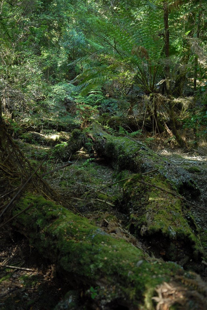
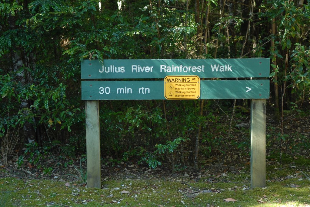
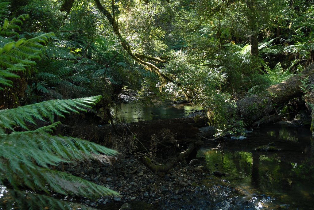
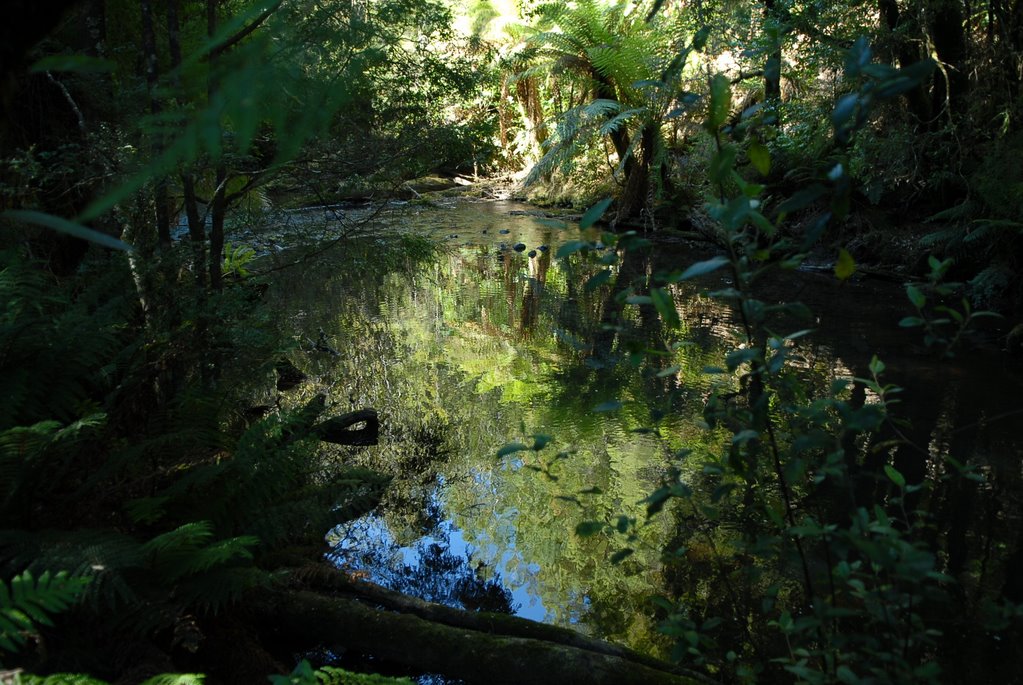
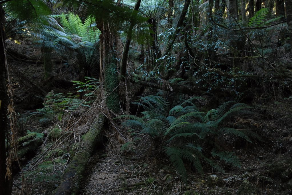
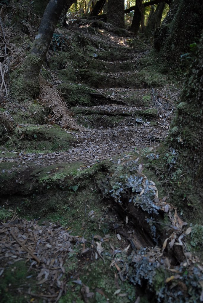
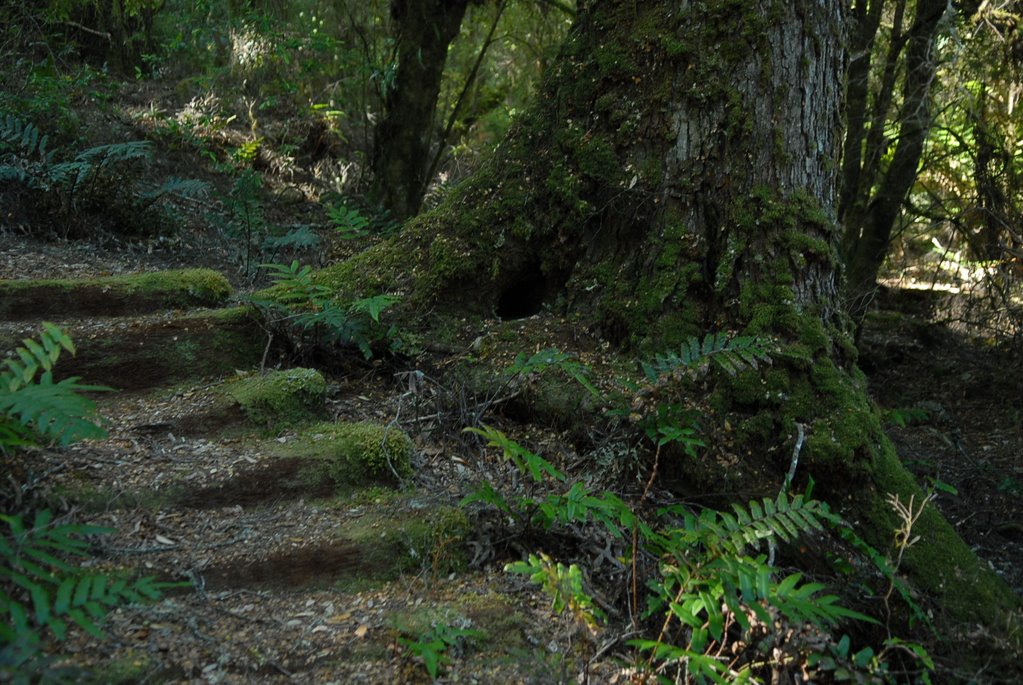
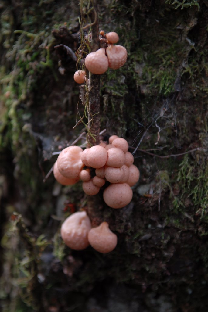
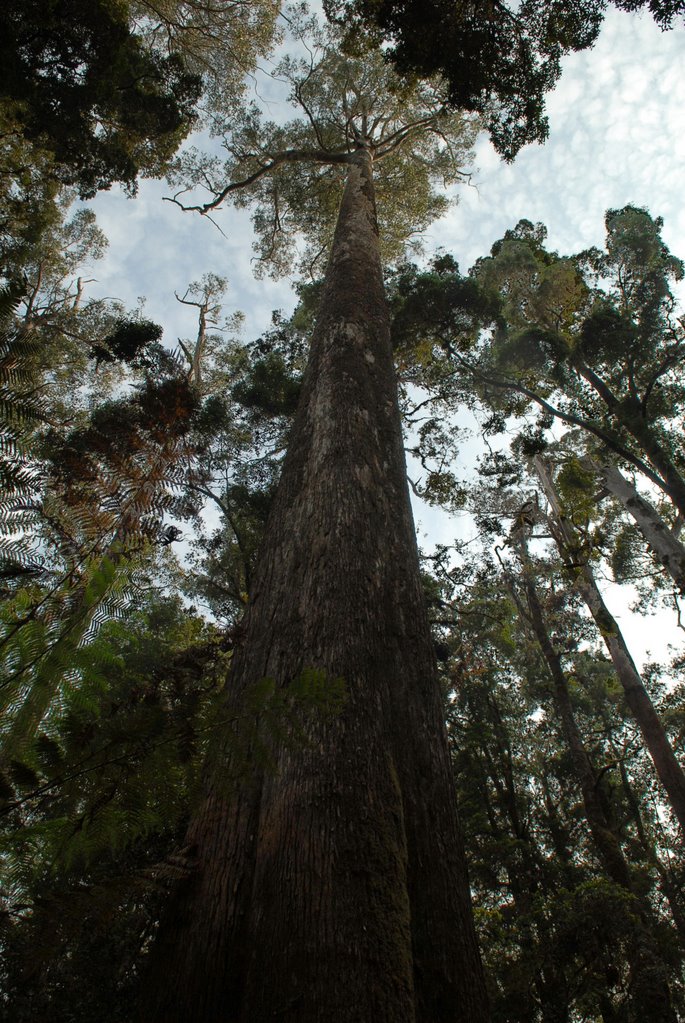
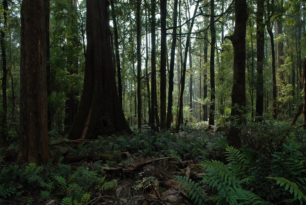
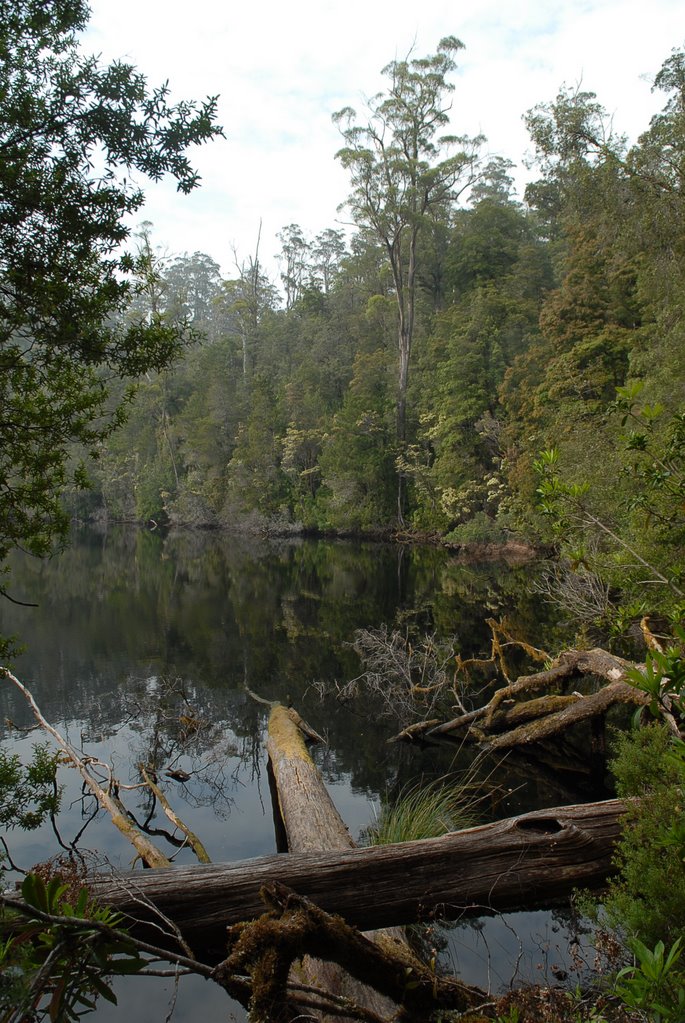
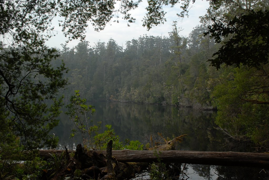
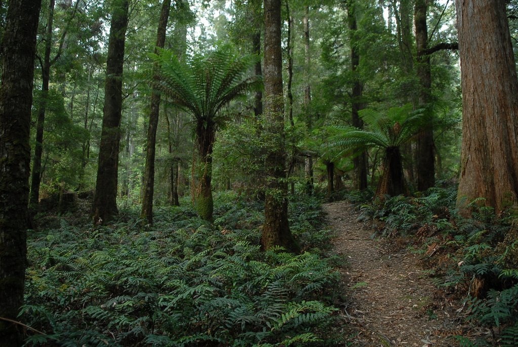
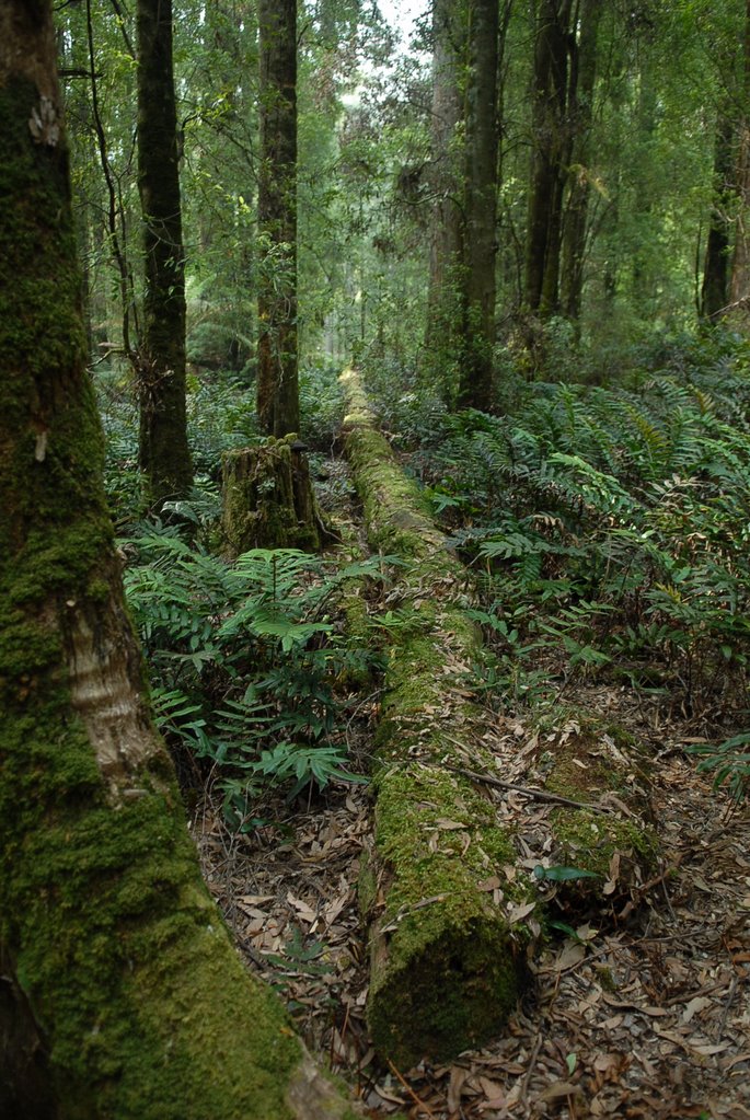
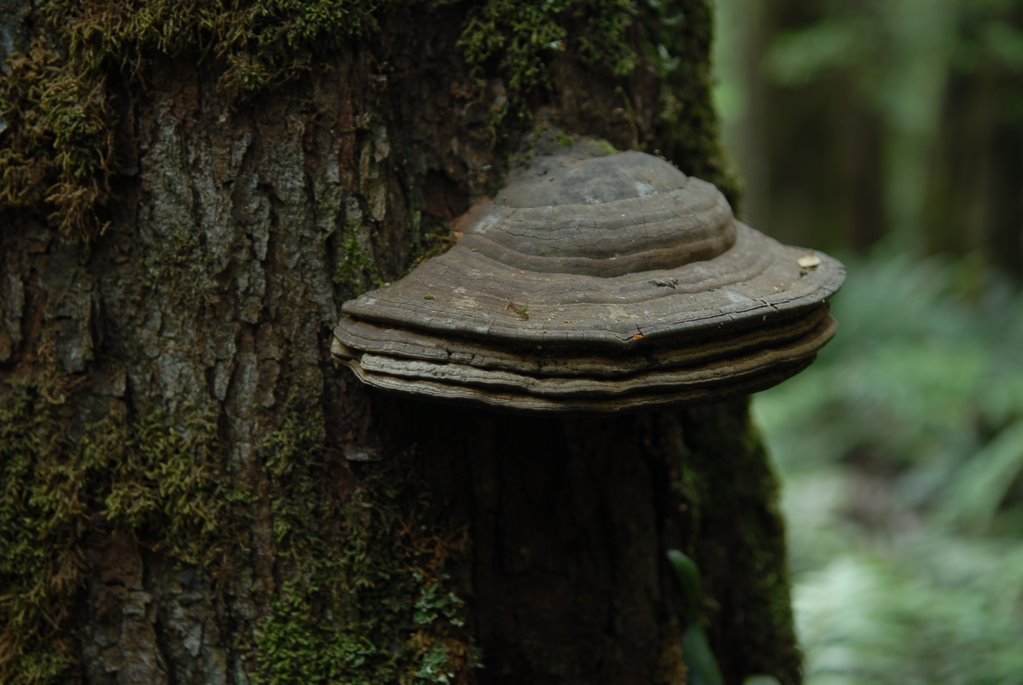
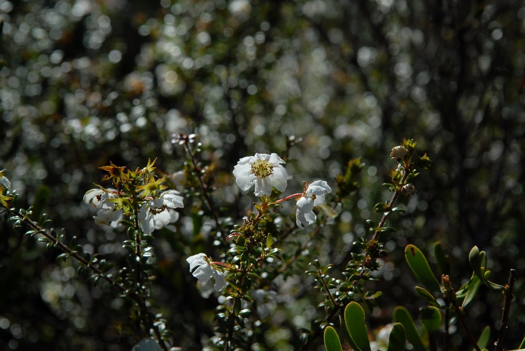
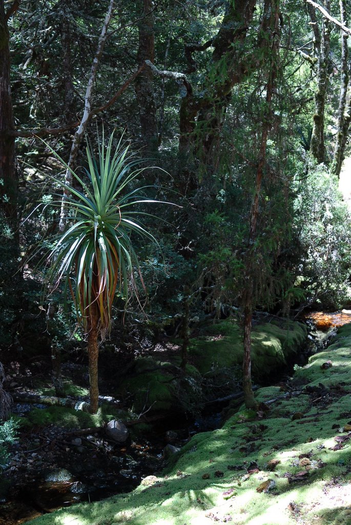
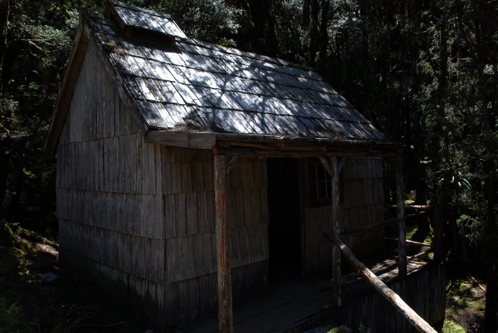
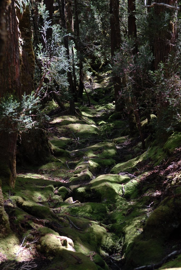
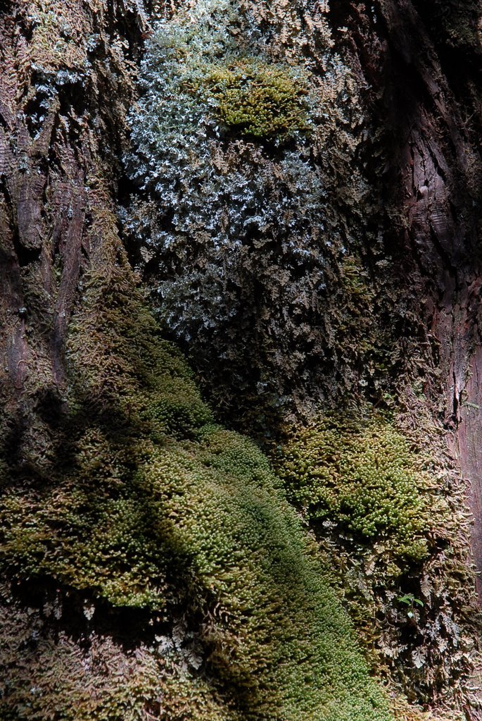
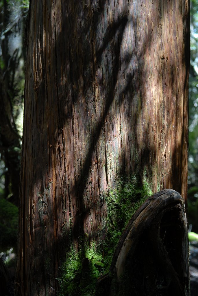
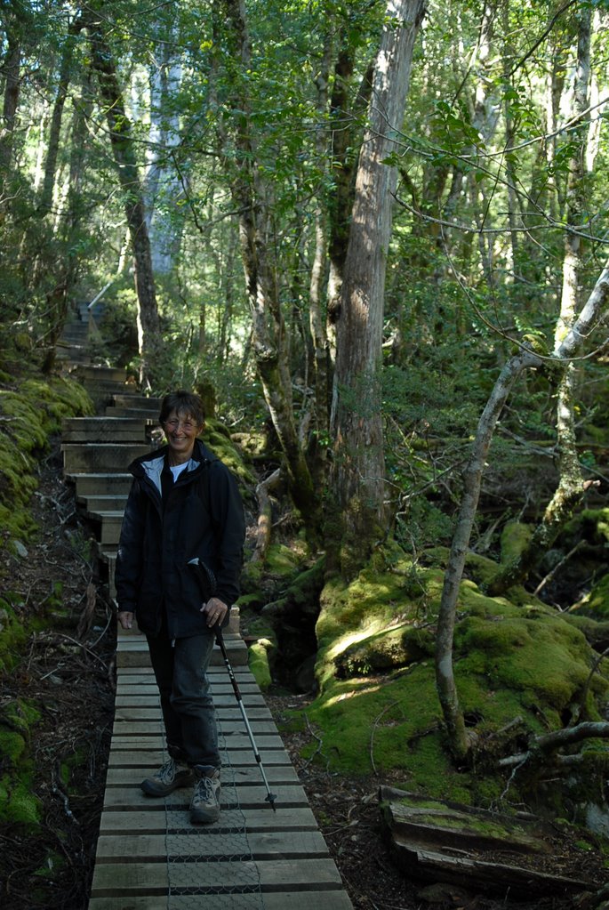
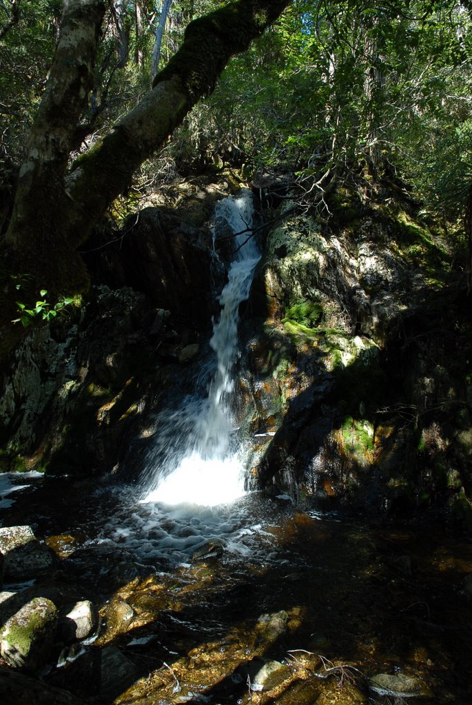
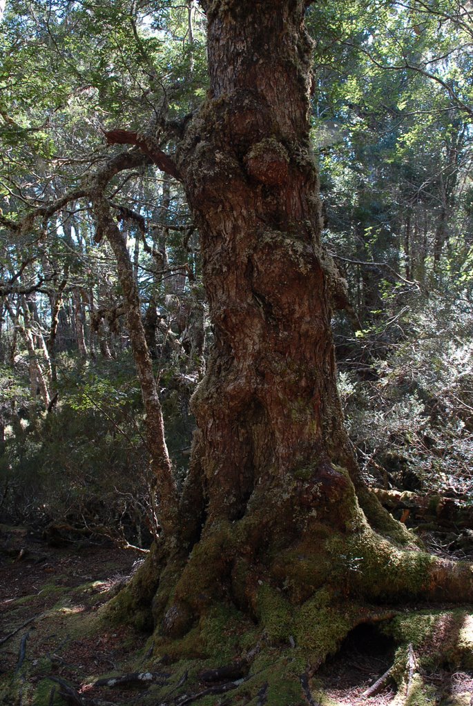
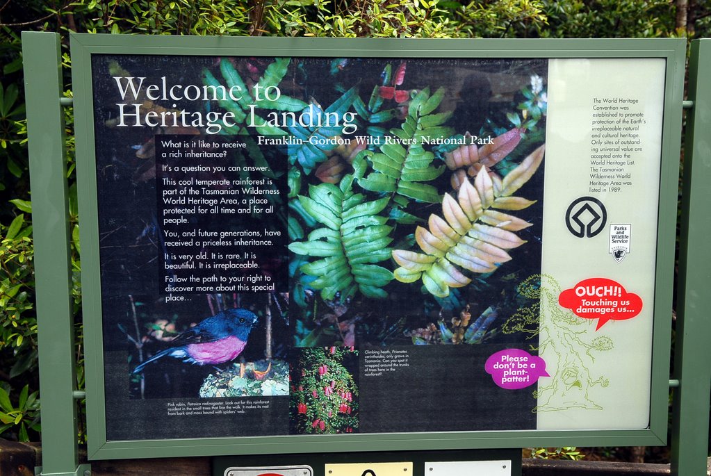
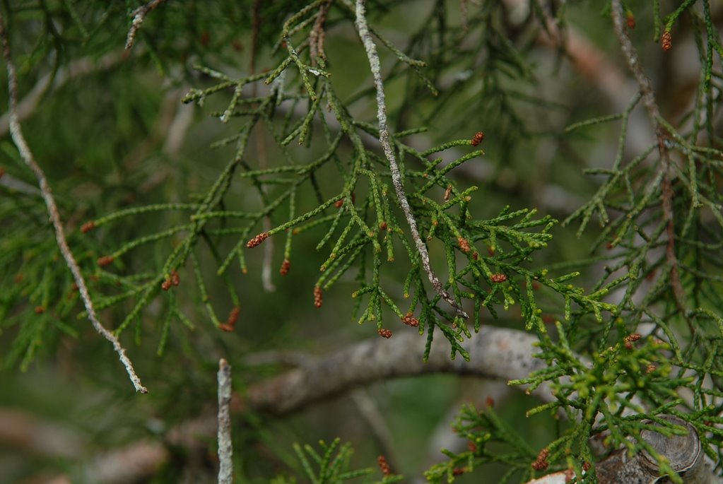
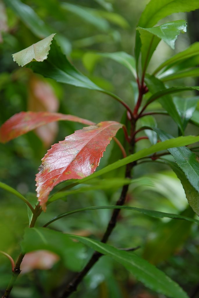
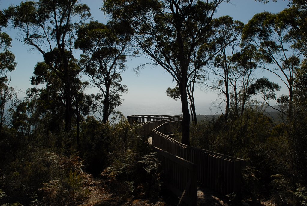
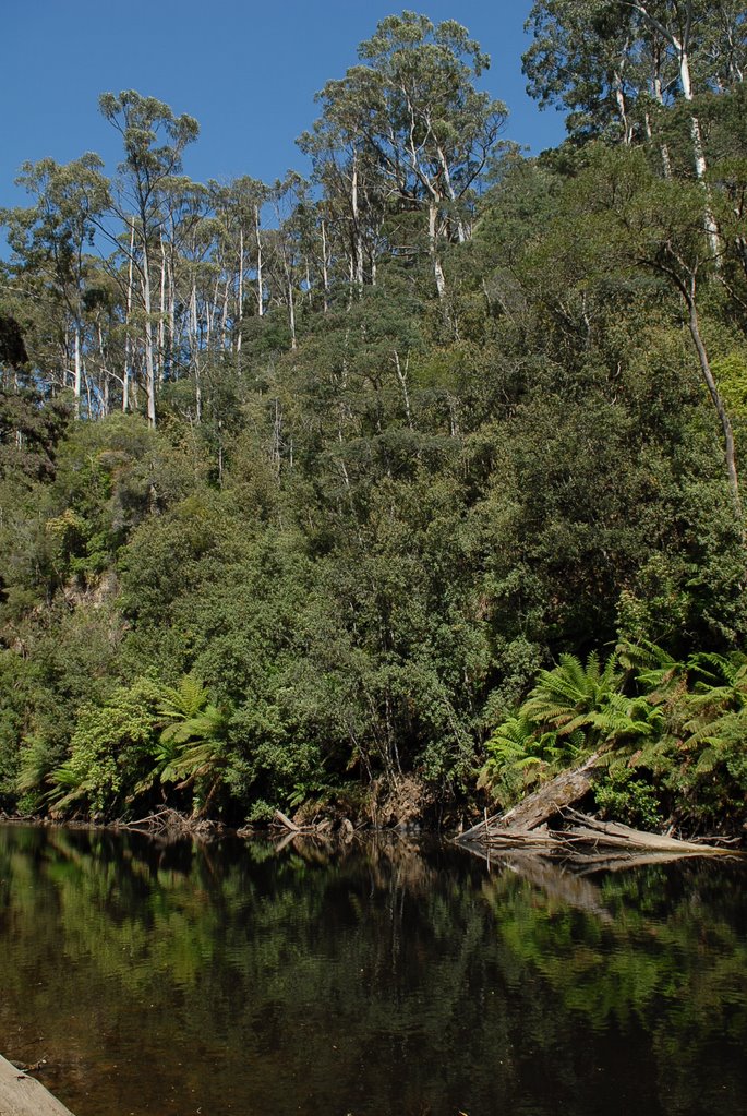
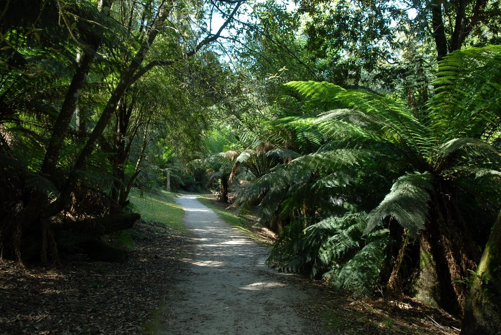
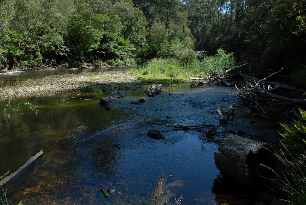
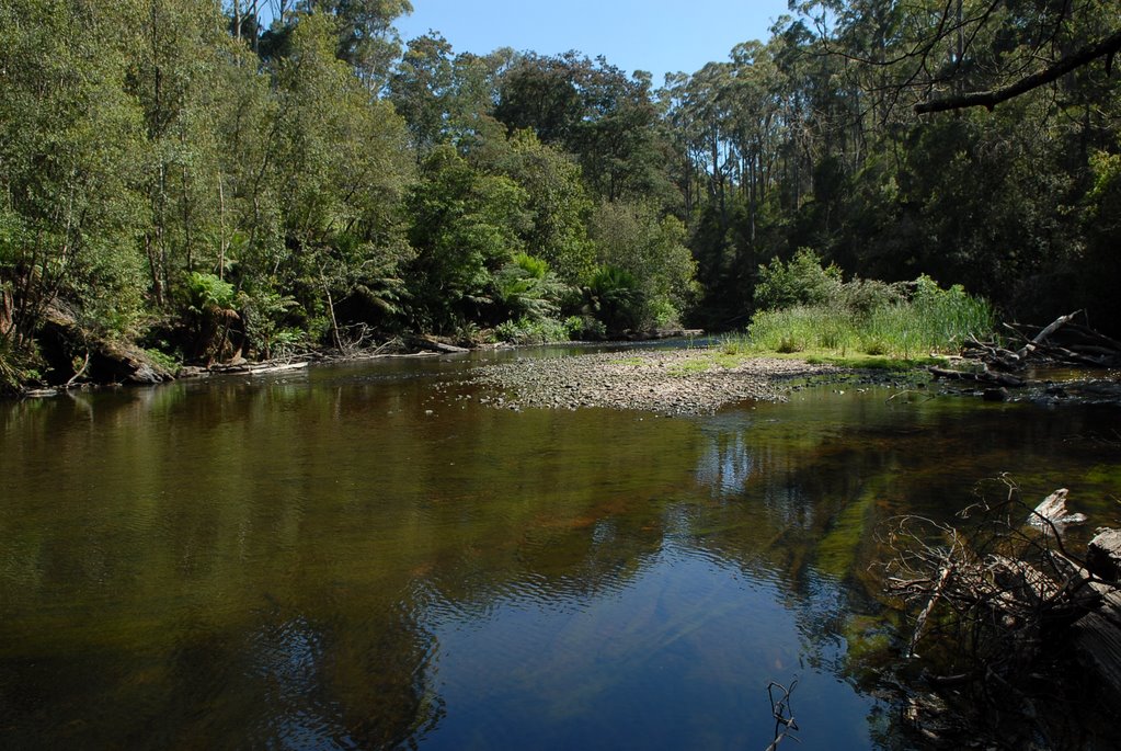
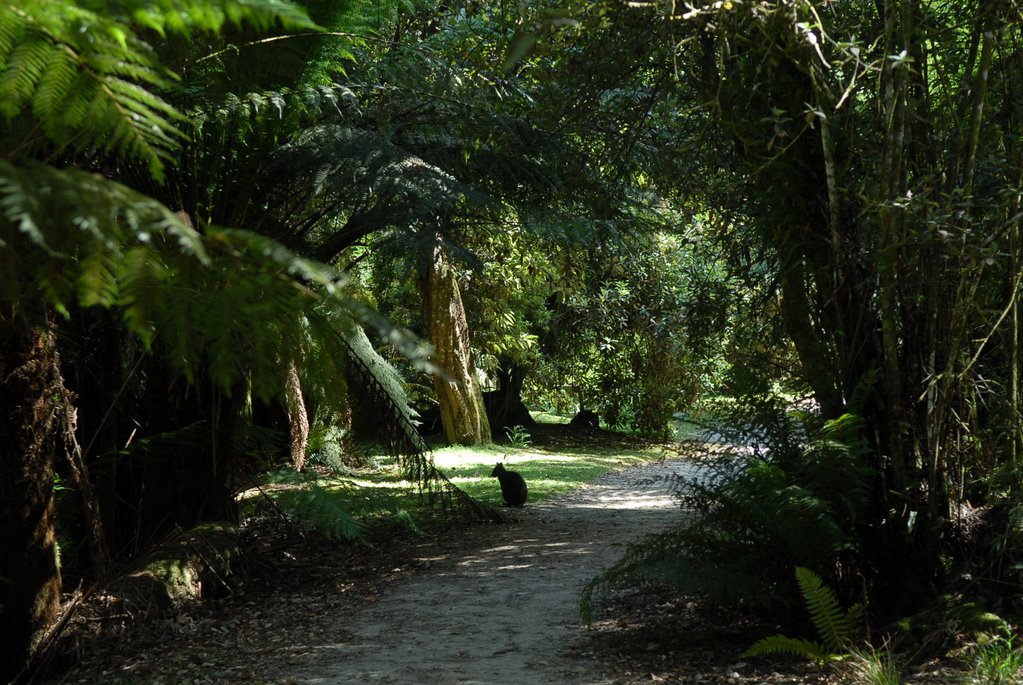
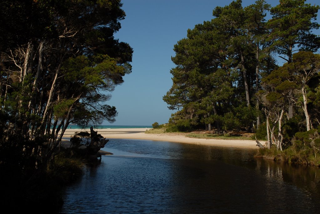
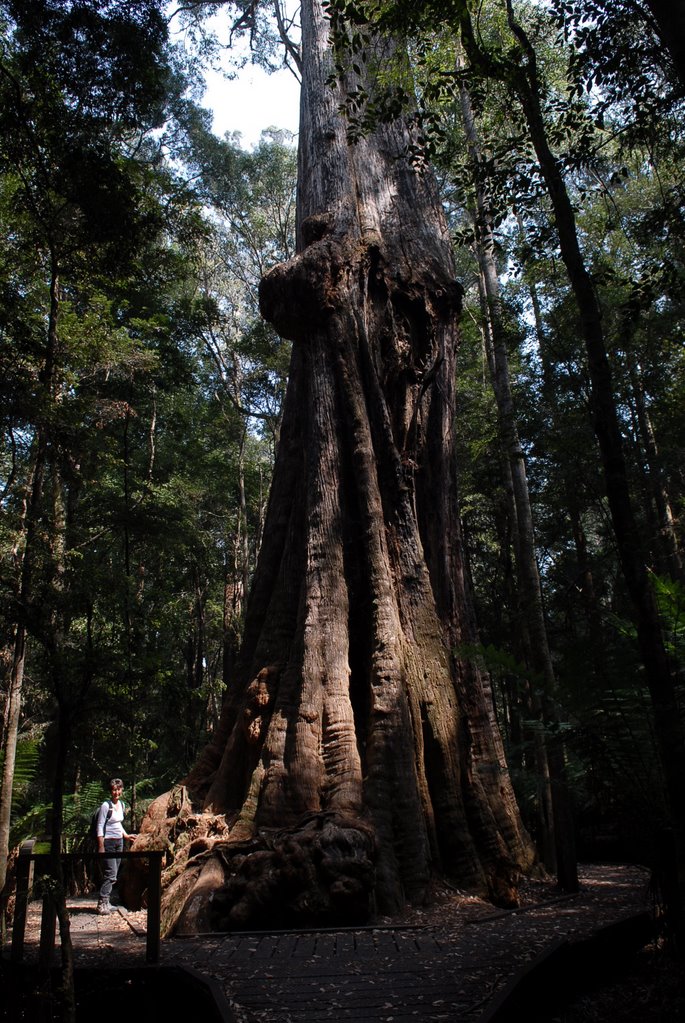
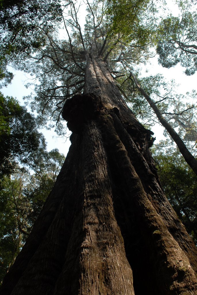
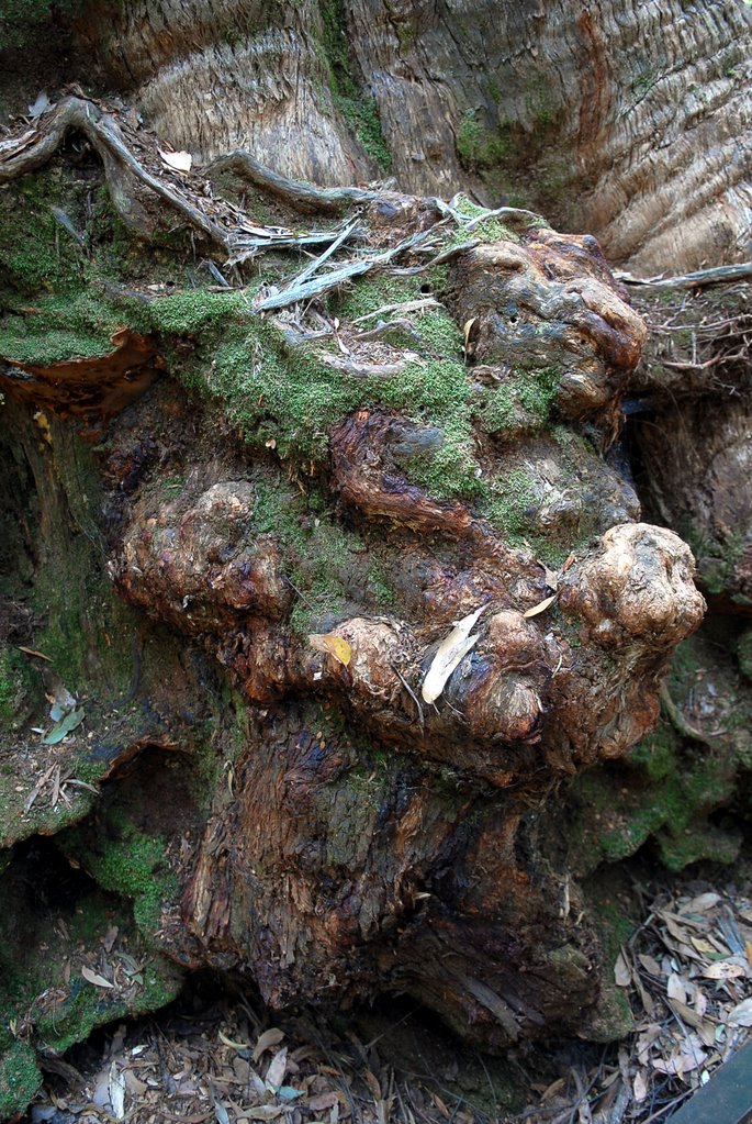
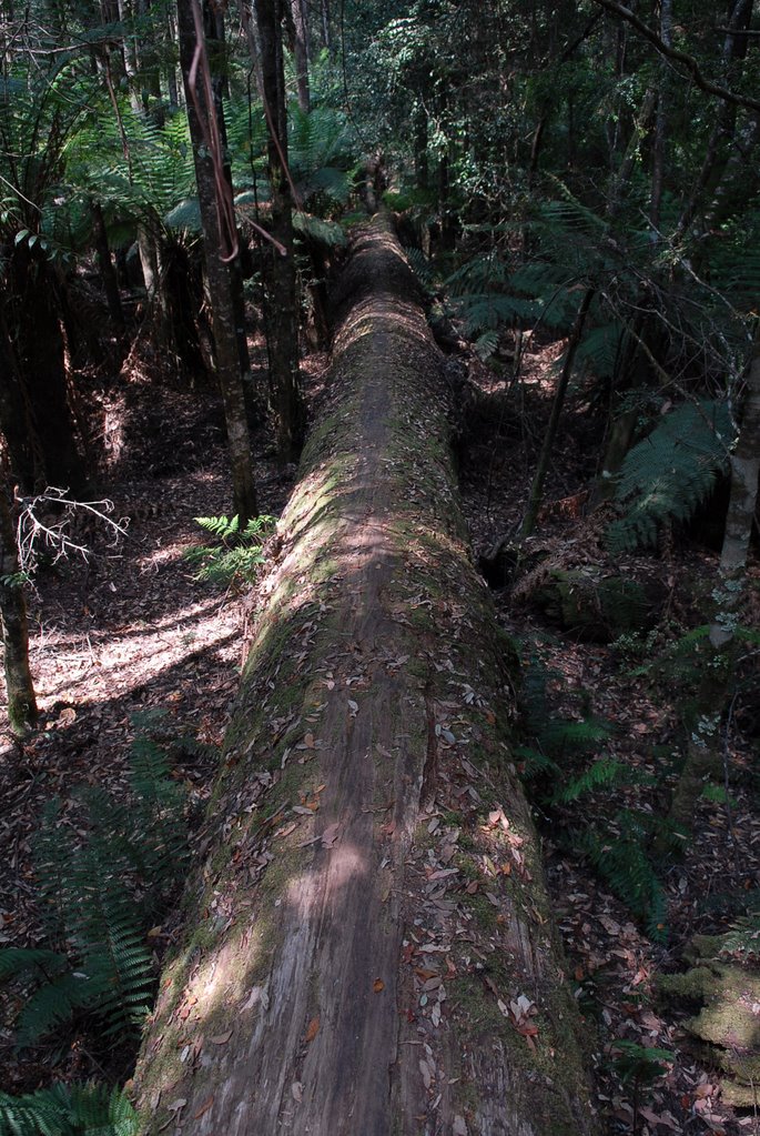
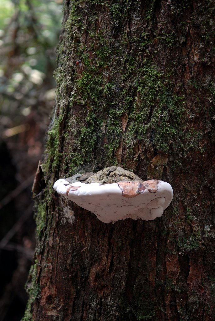
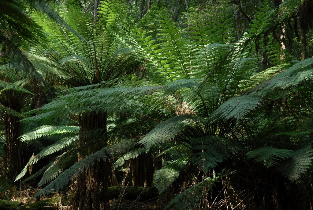
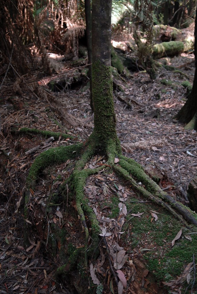
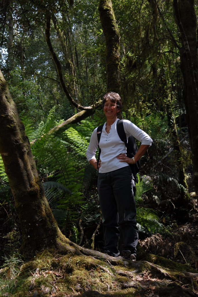
We bought our tickets for the Airwalk at Geeveston which is a little town that has many beautiful sculptures of local identities carved in Huon Pine. We stopped at the rainforest and the Arve River on the way to the Airwalk. We enjoyed both the Airwalk and the Huon Pine walk along the Huon River. The rainforests are just beautiful and the Huon Pines only grow very close to the rivers because they need the water.
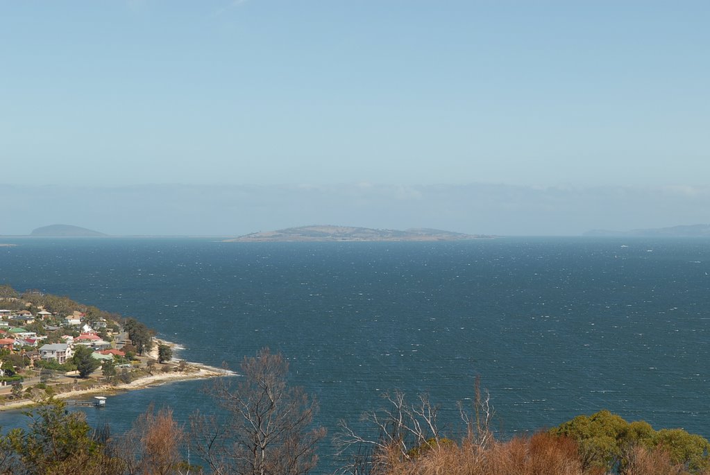
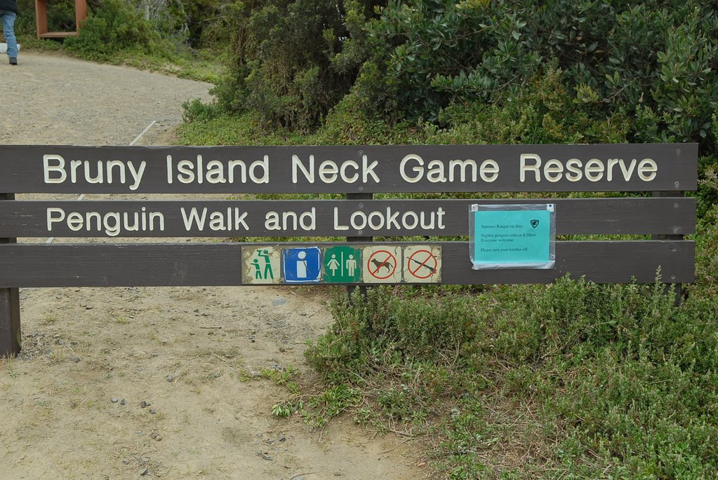
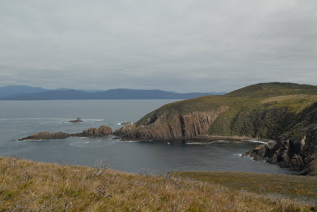
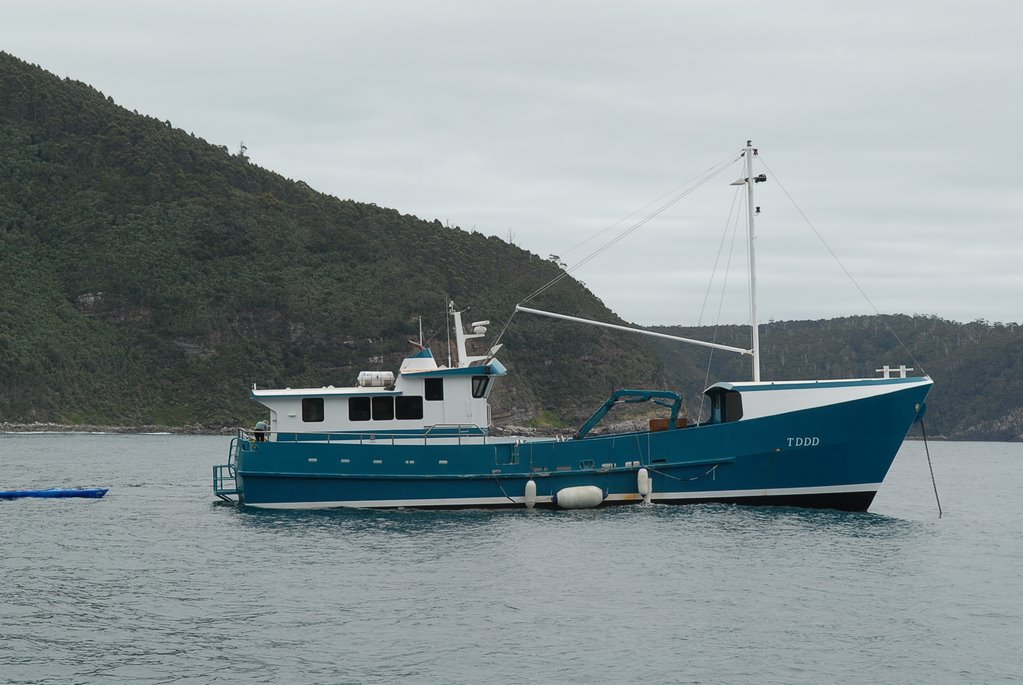
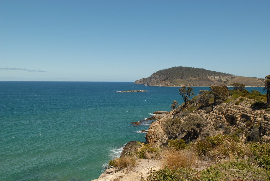
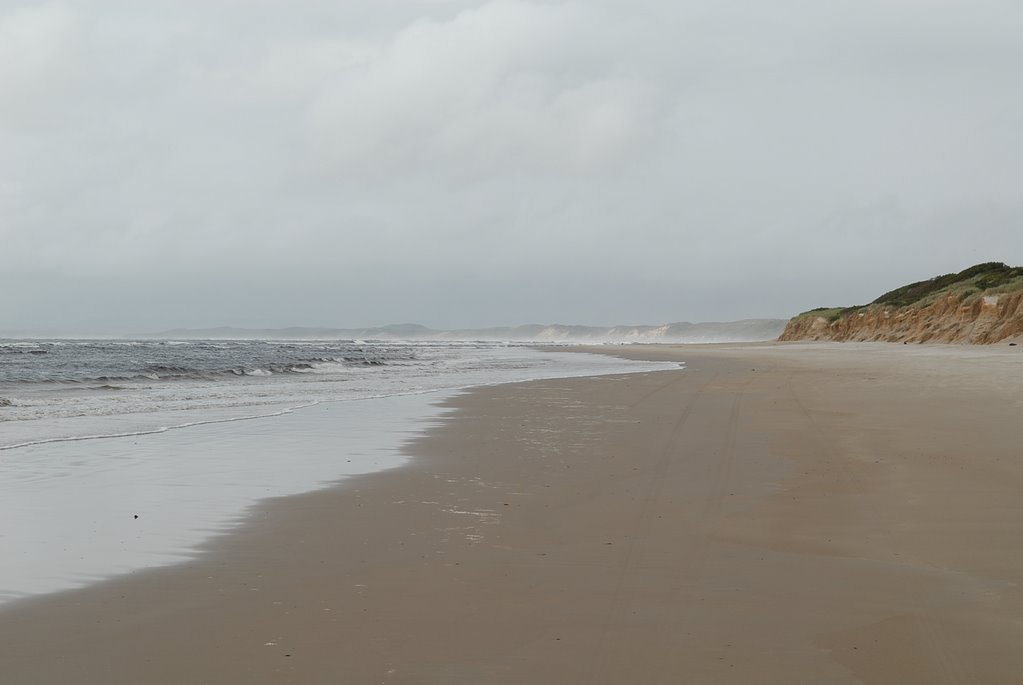
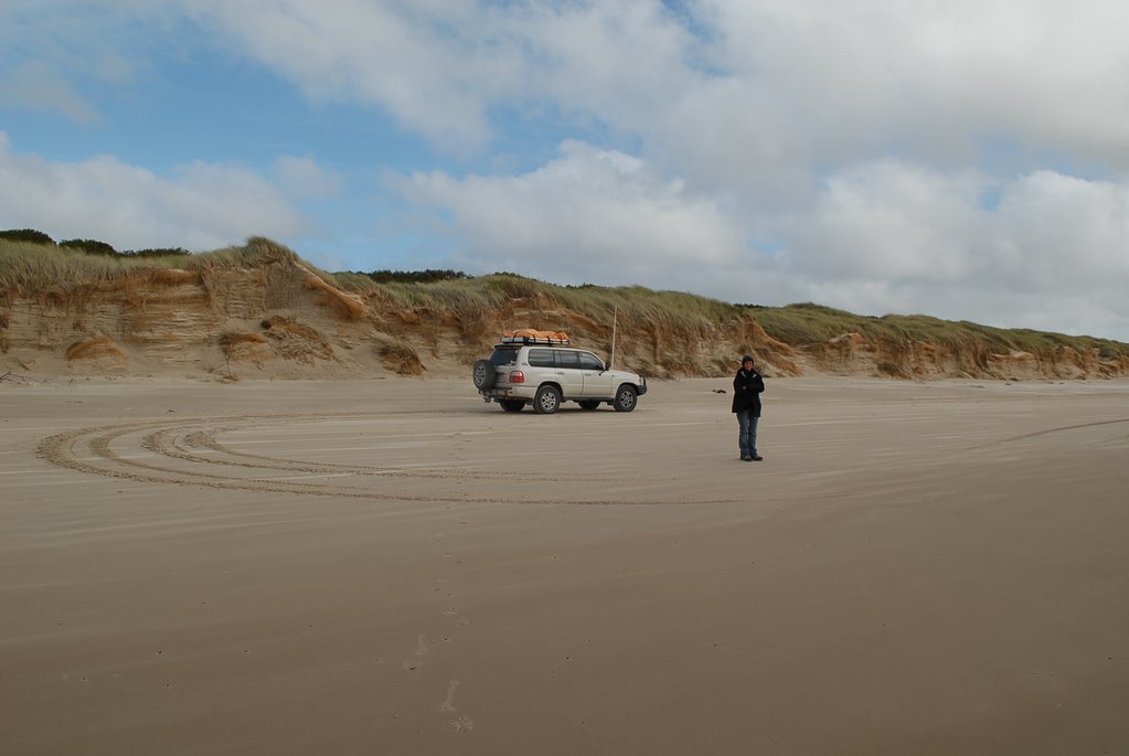
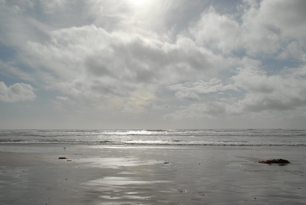
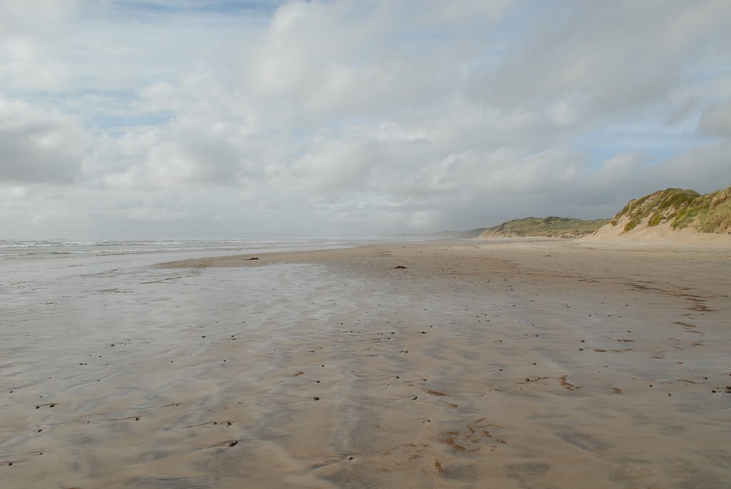
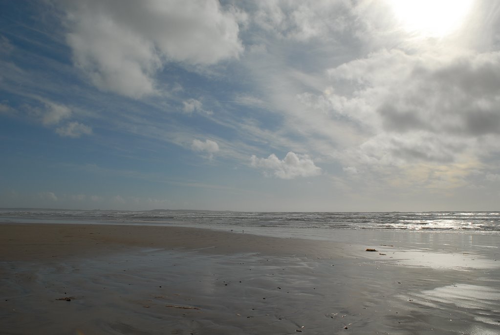
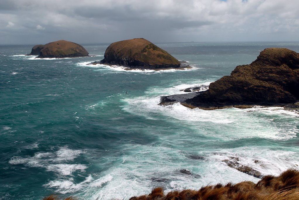
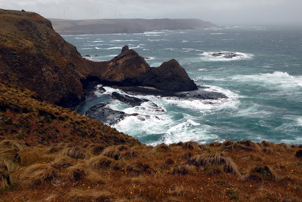
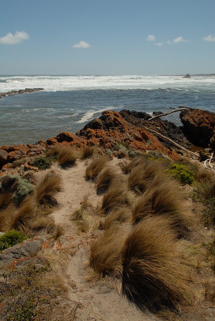
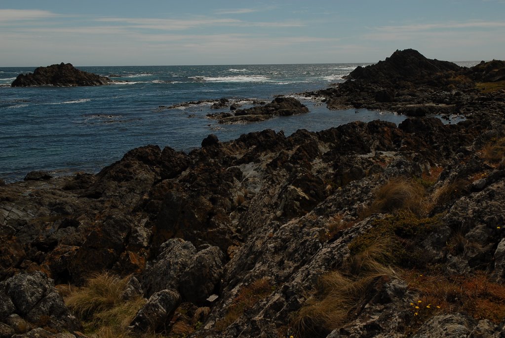
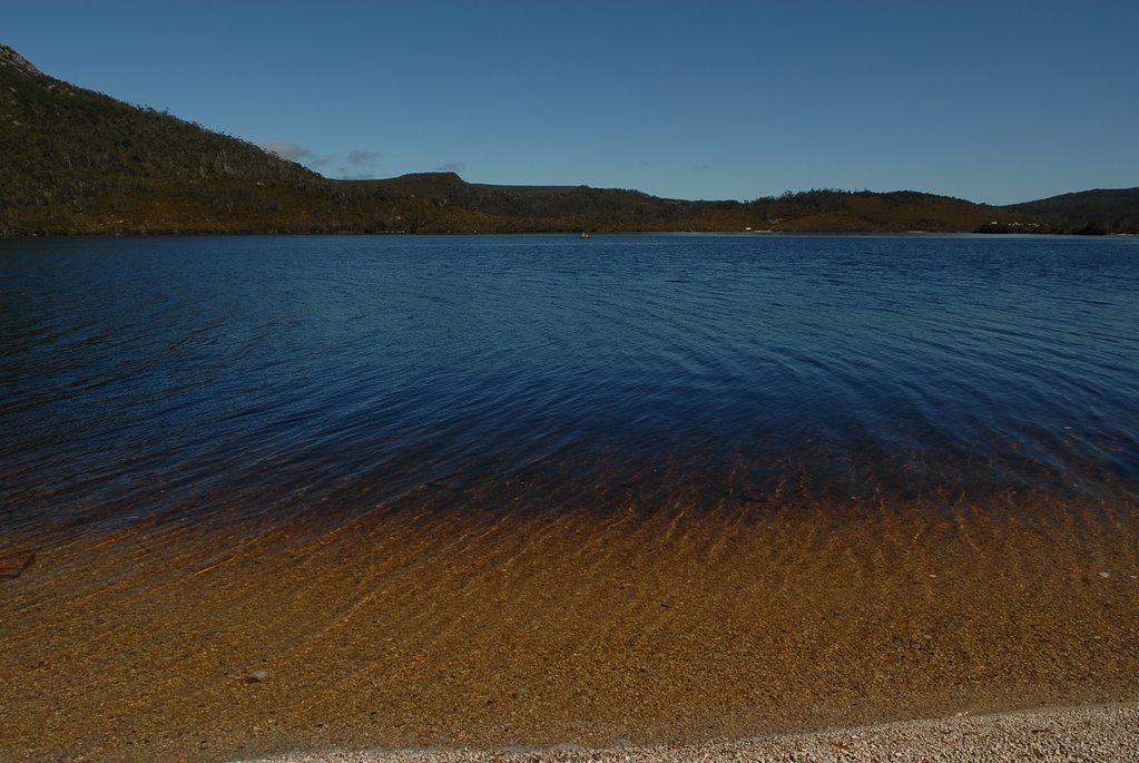
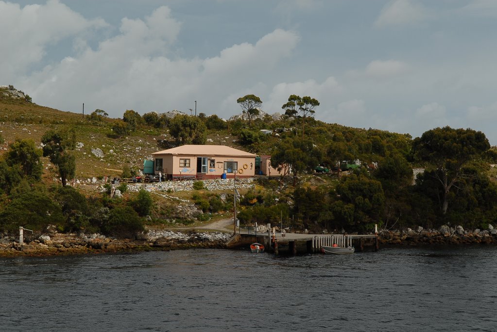
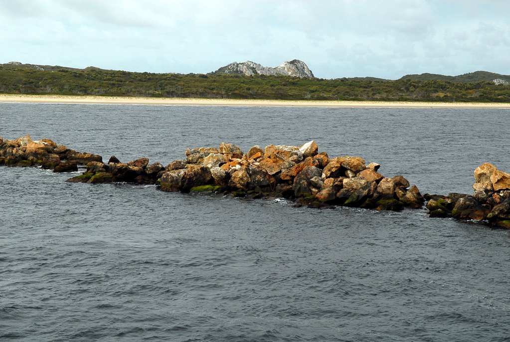
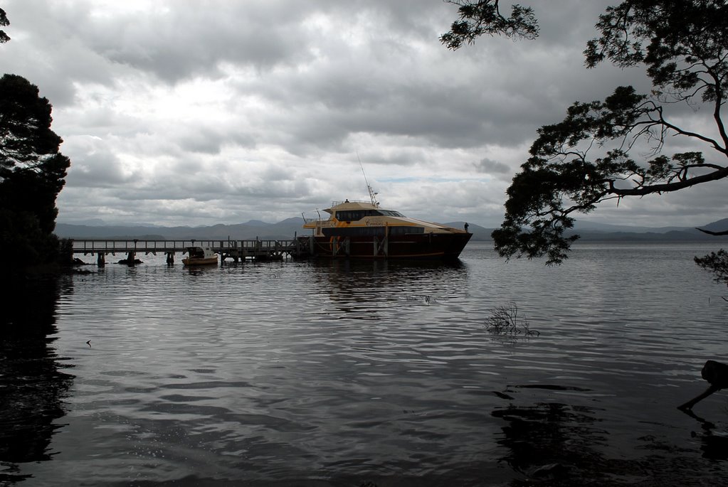
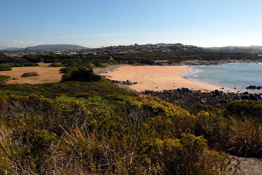
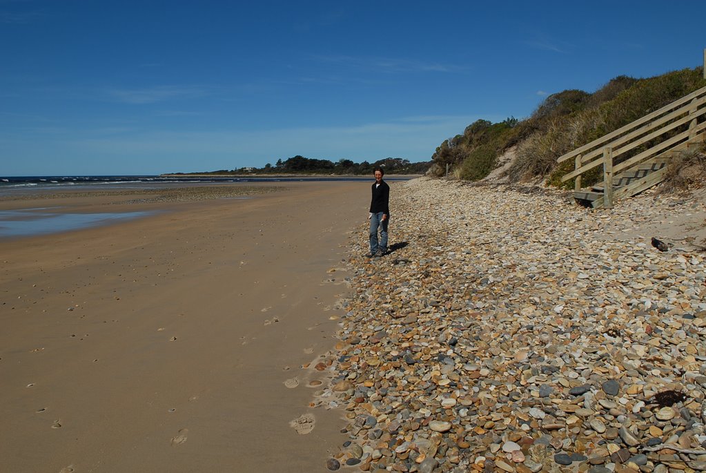
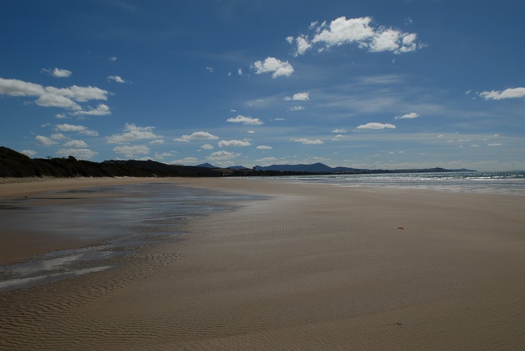
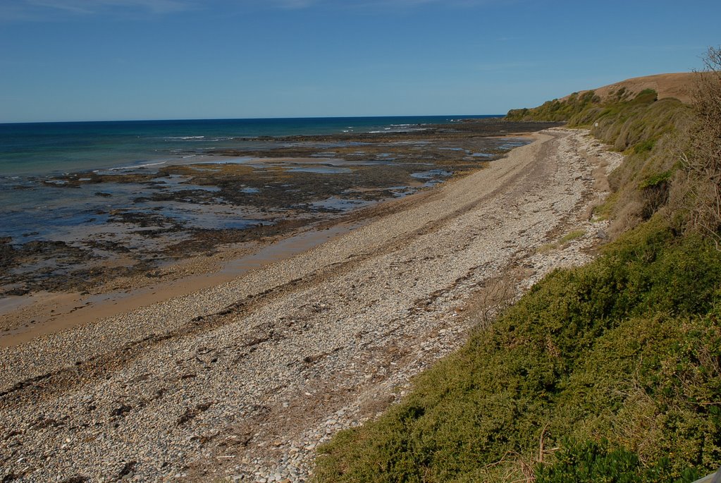
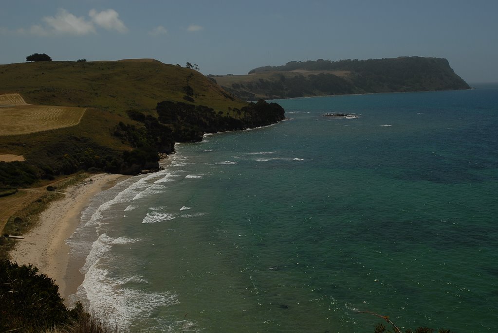
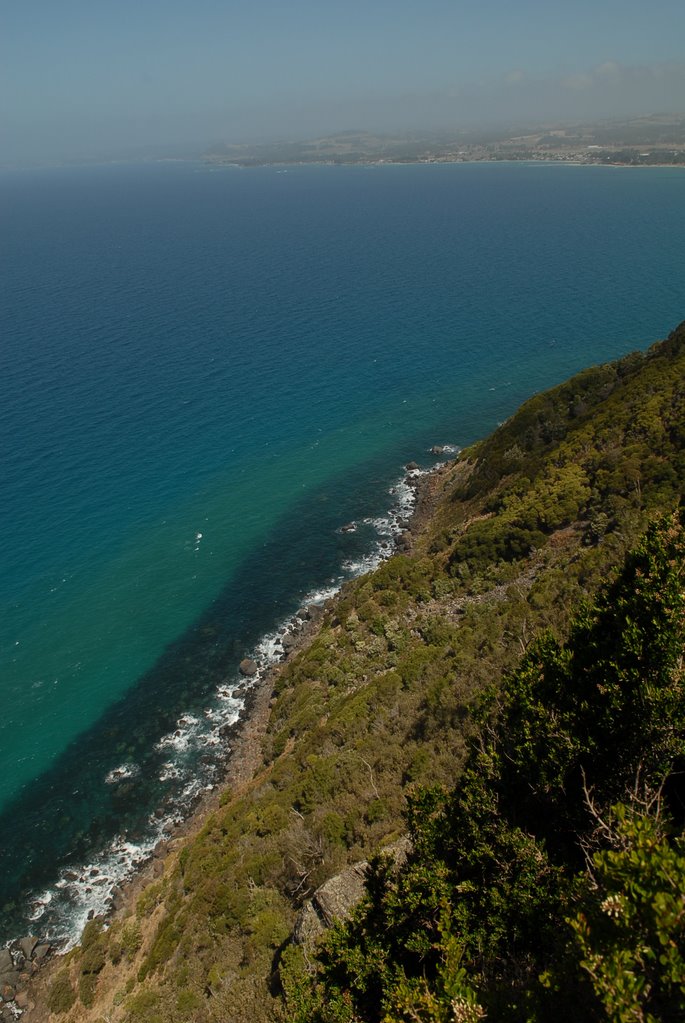
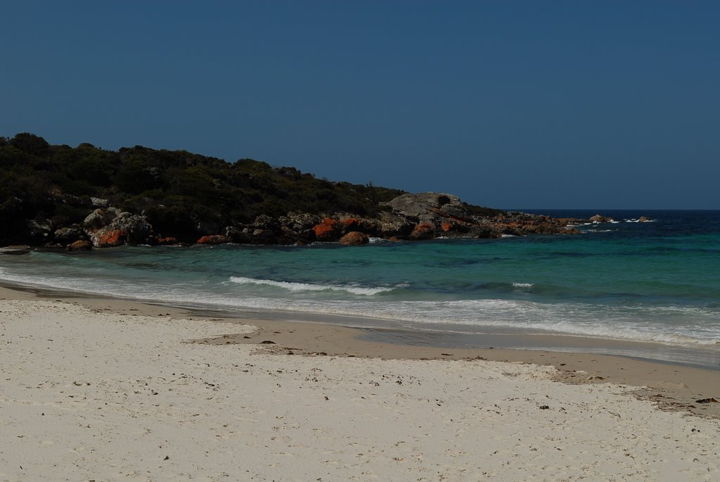
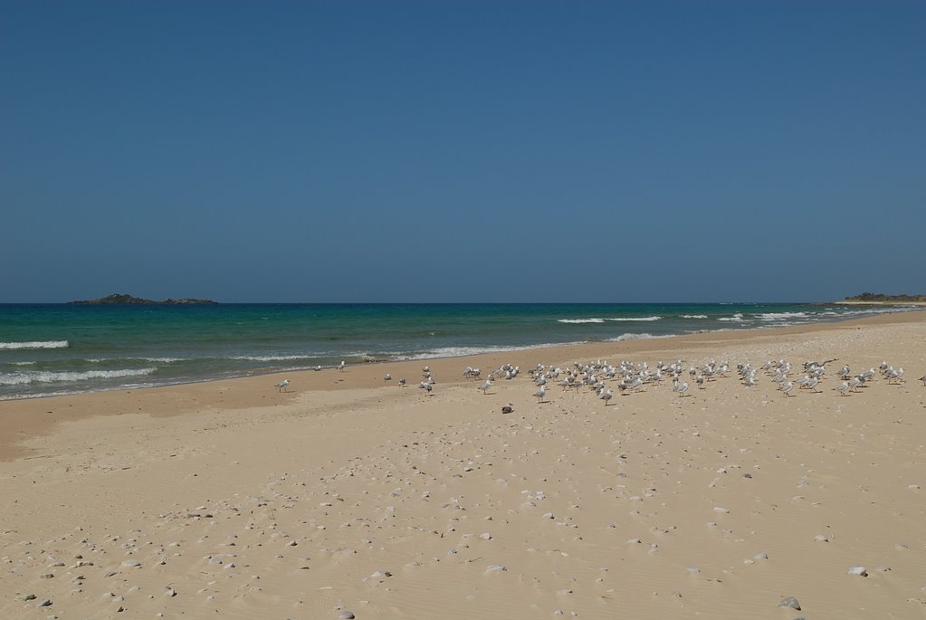
Bruny Island was another day trip that we took from Hobart. The car ferry took us from Kettering to North Bruny Island in half an hour. We had enough time to explore the 2 islands before our cruise to the southern part of the South Island. The scenery was fantastic and varied even though it was quite cold and windy. First we headed north to Dennes Point, via Barnes Bay and Nebraska Beach, the northern most point of the islands. It was as the brochures said; quite barren, sparsely populated and not very interesting. Nevertheless the coastal scenes are always beautiful.
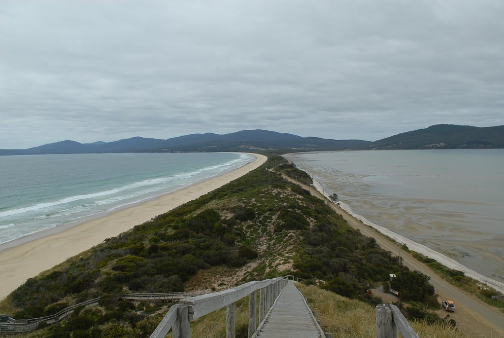
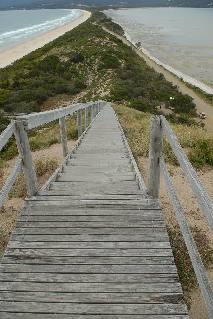
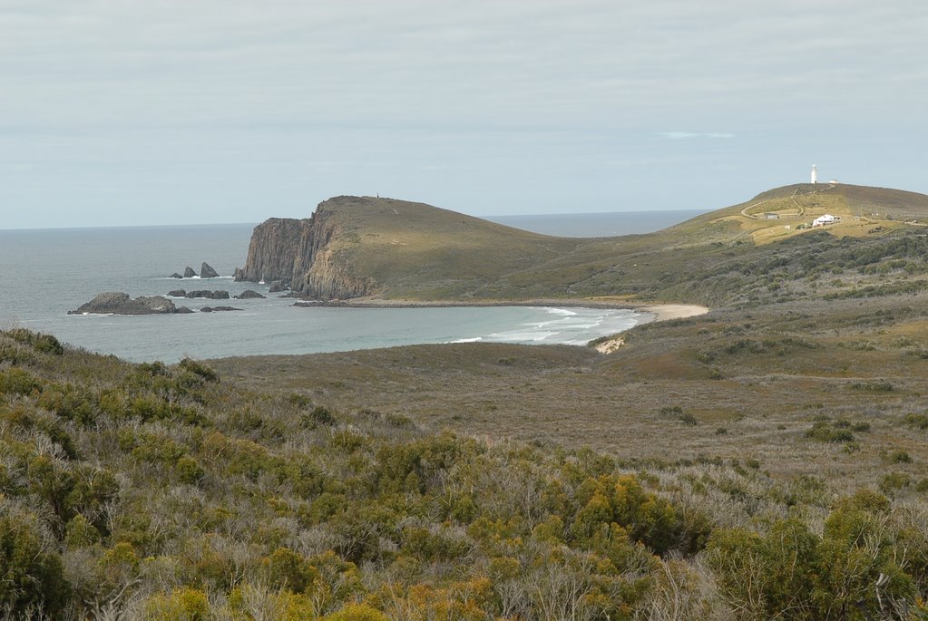
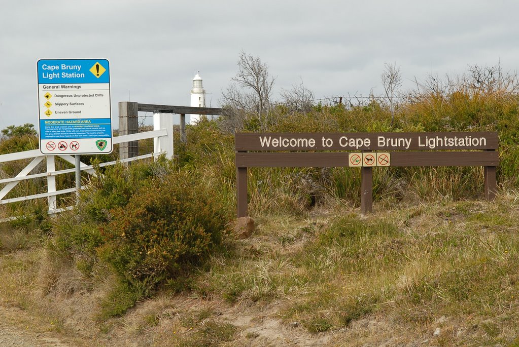
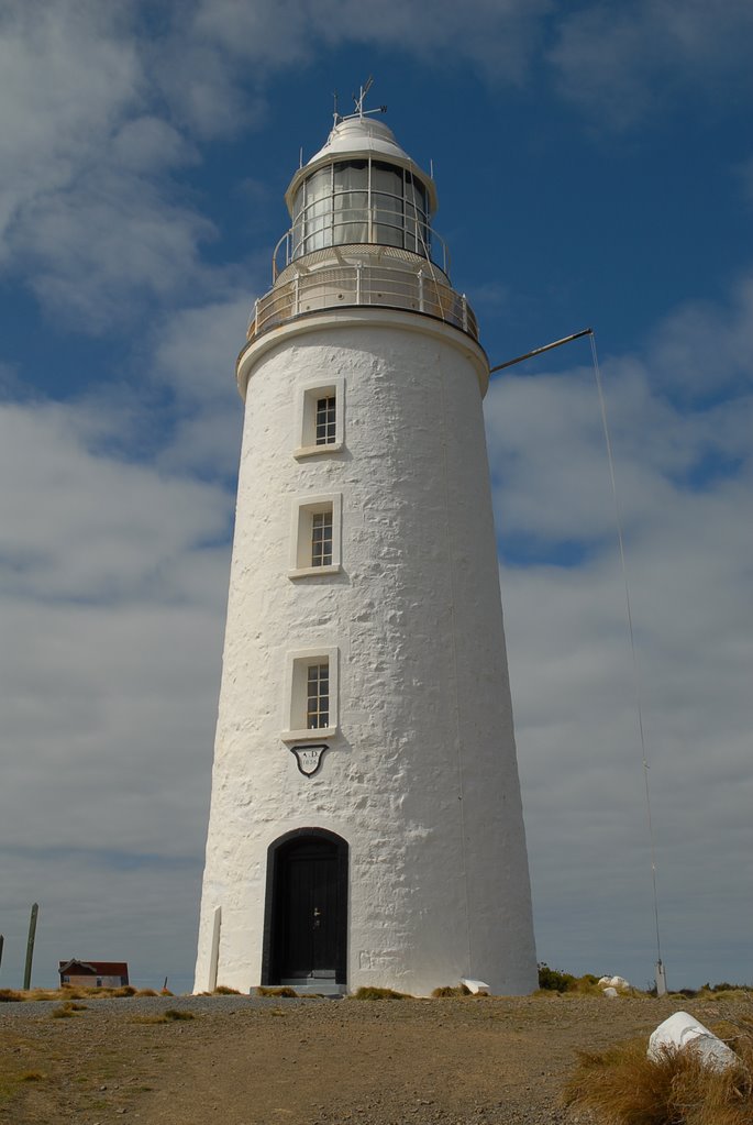
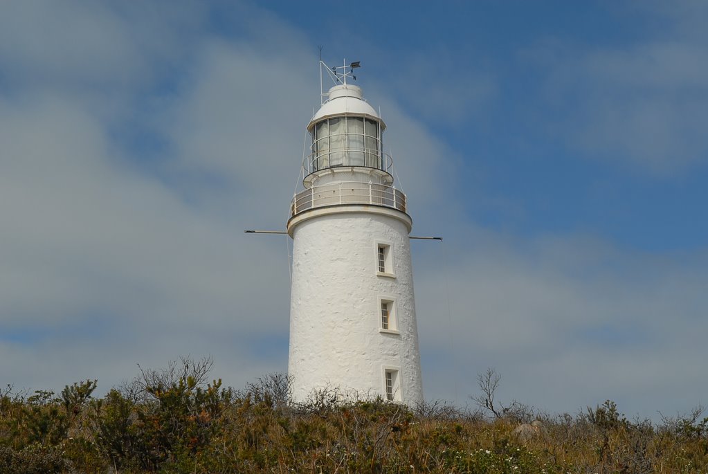
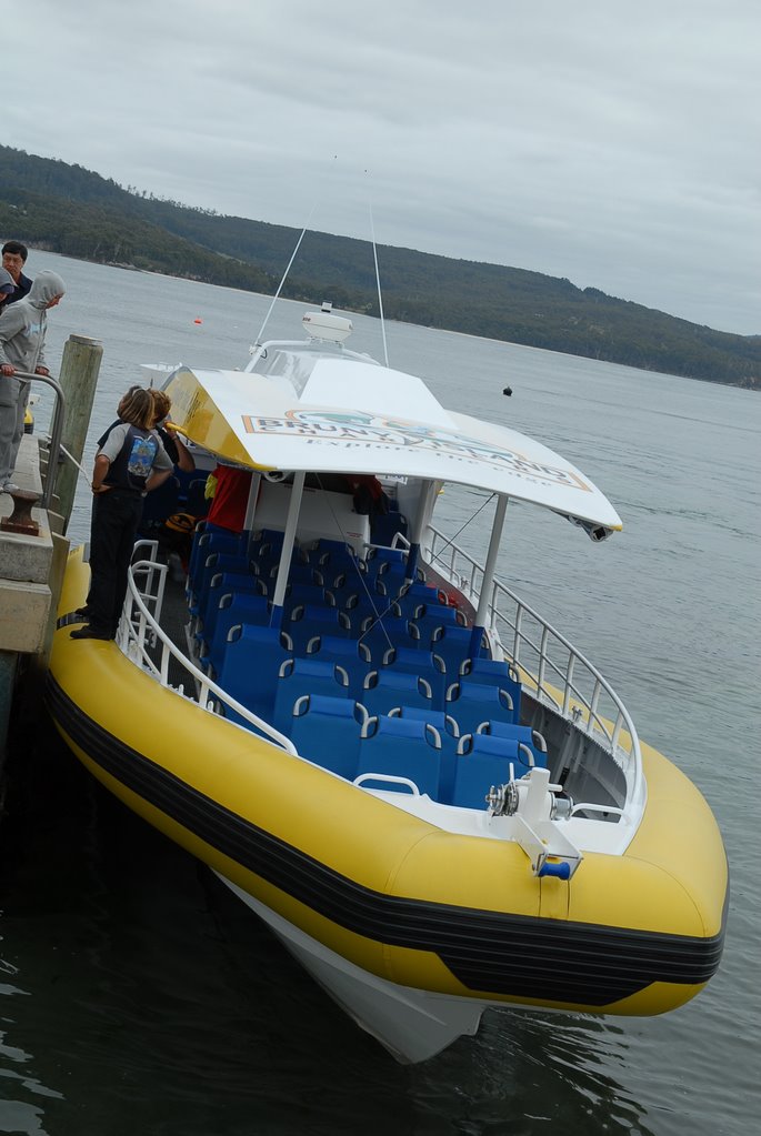
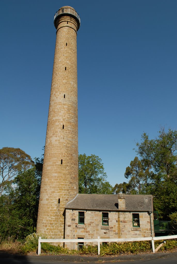
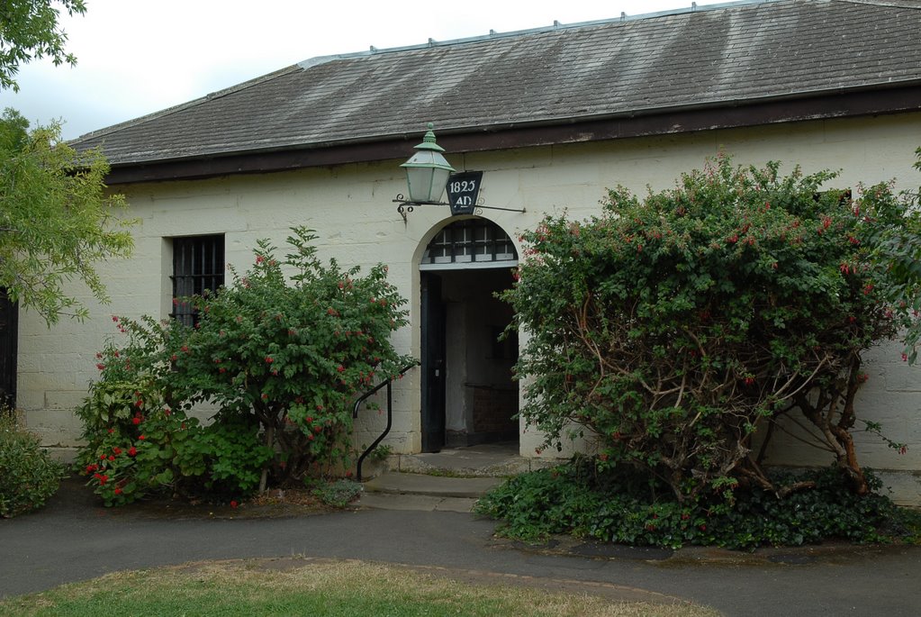
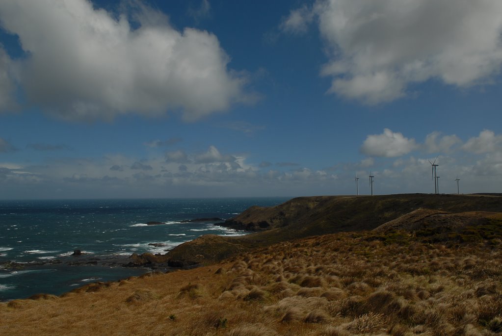
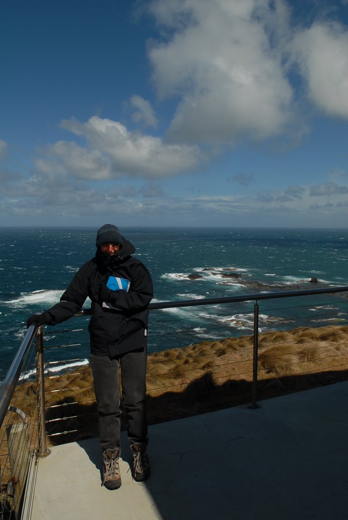
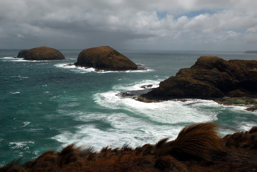
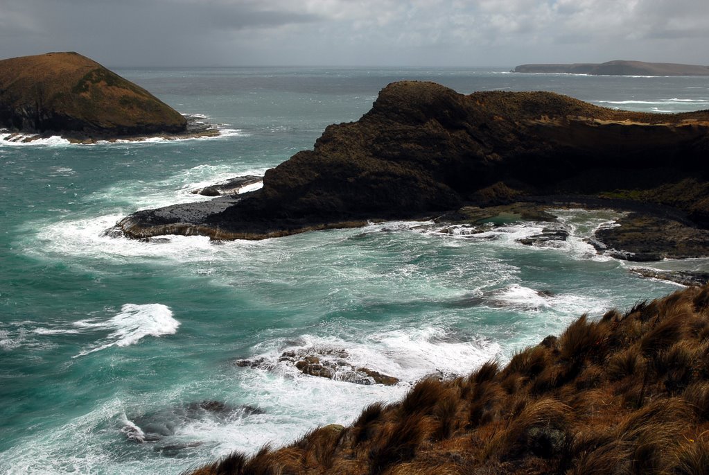
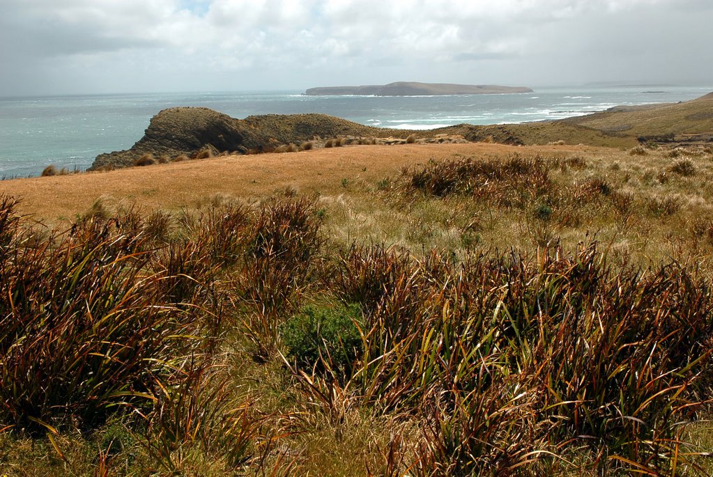
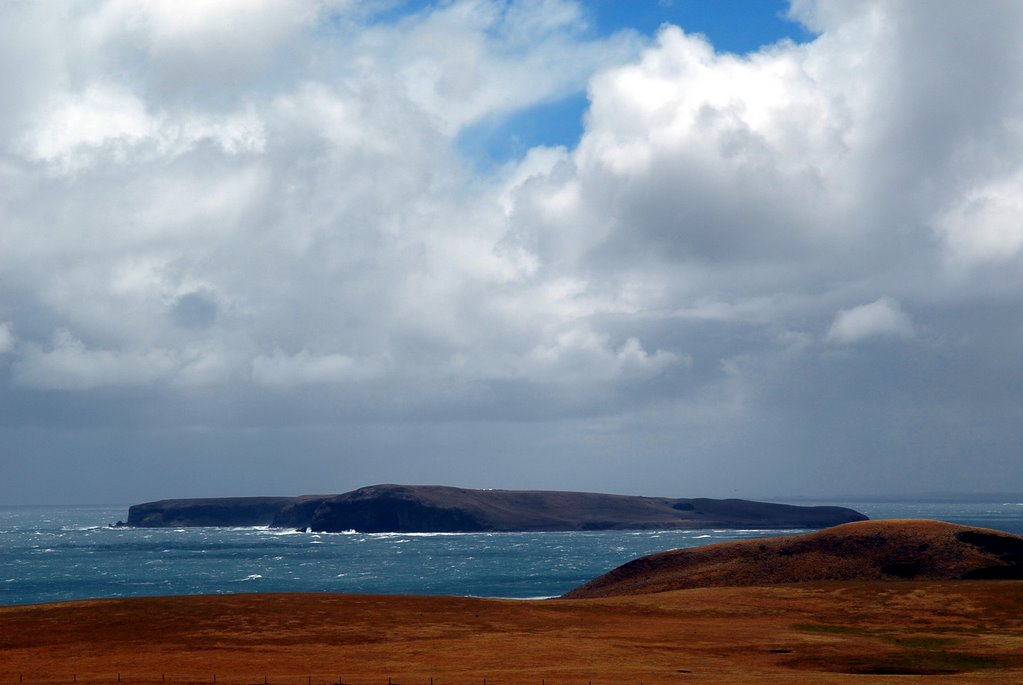
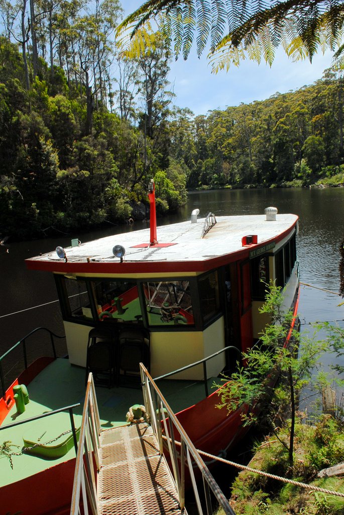
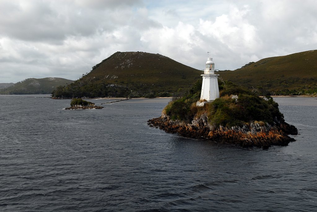
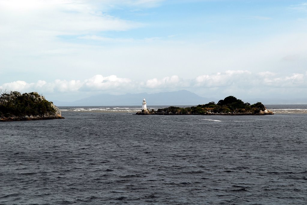
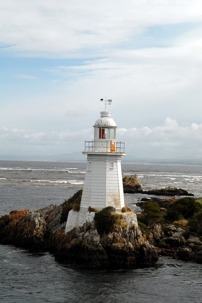
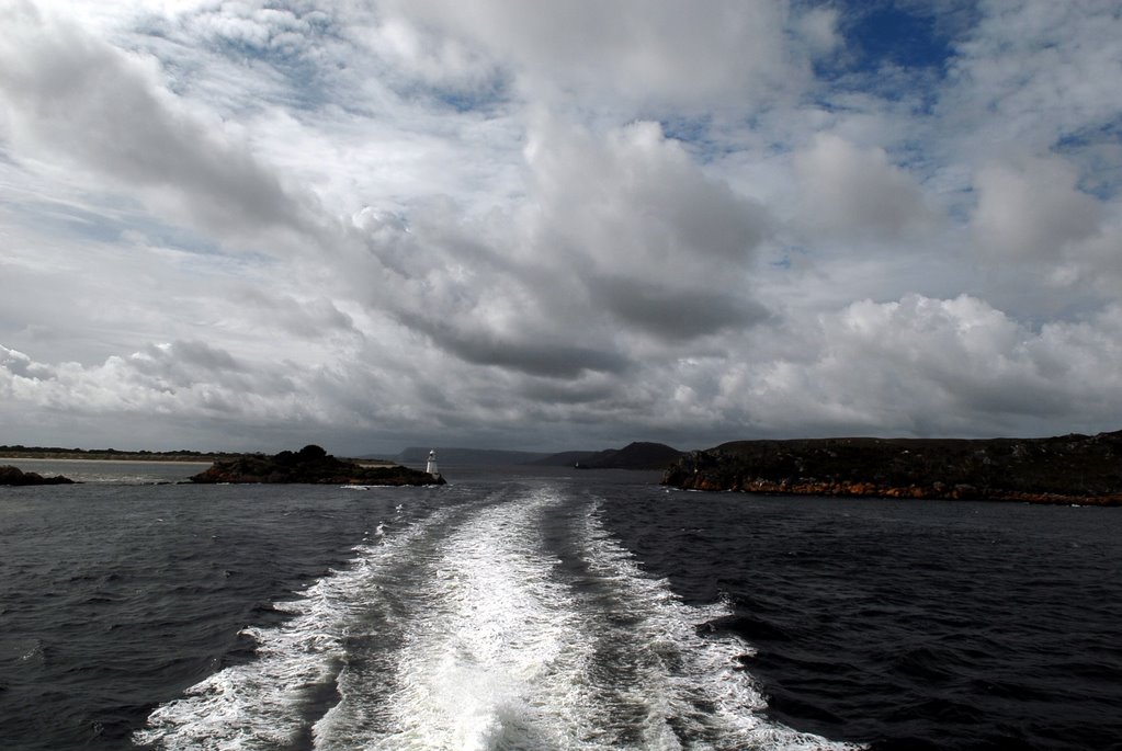
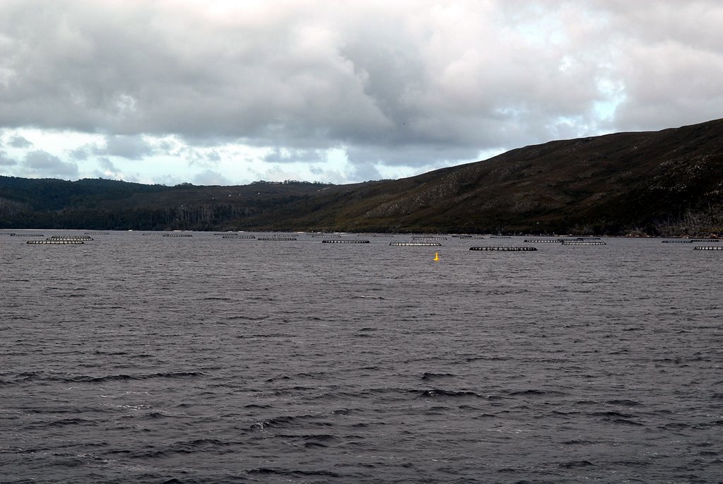
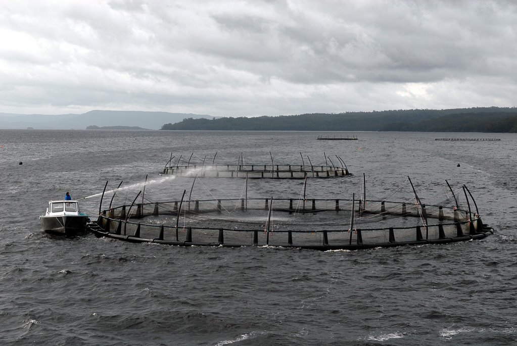
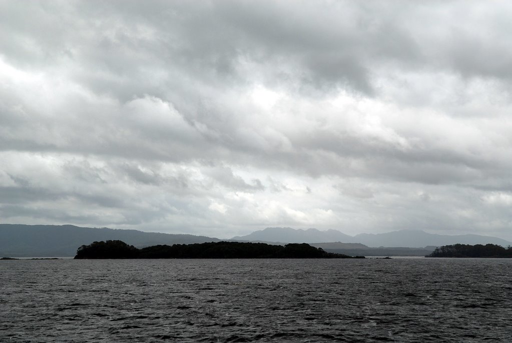
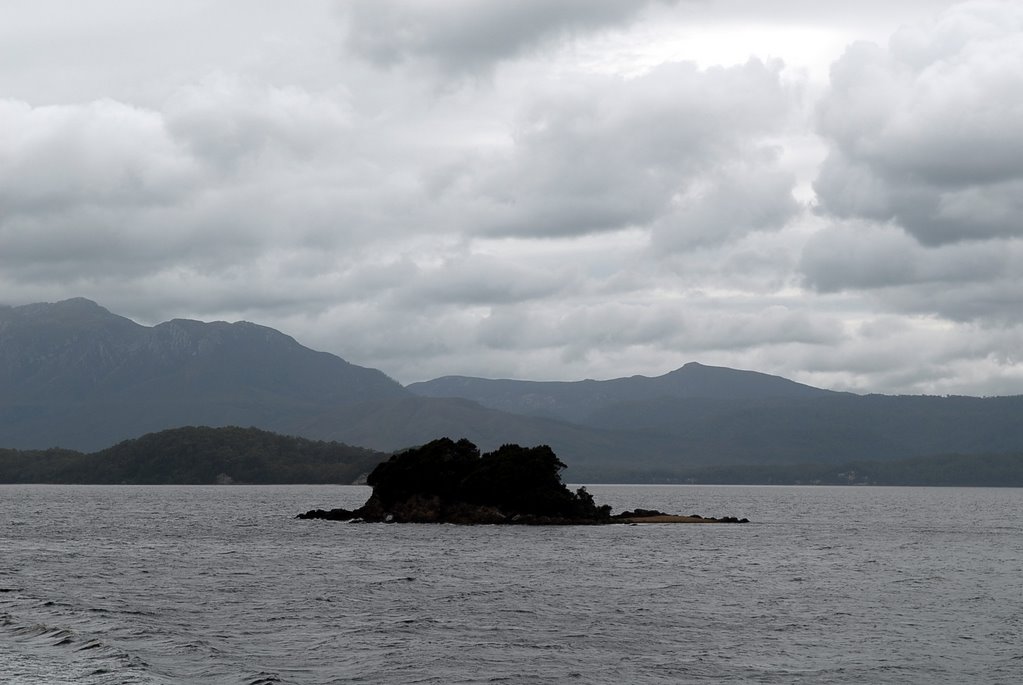
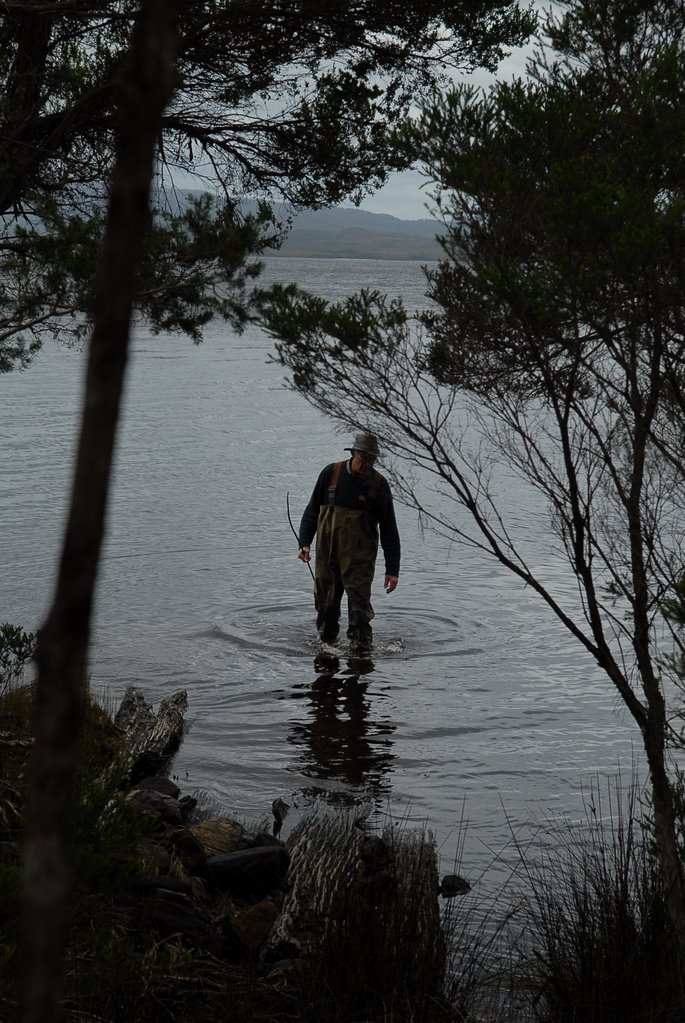
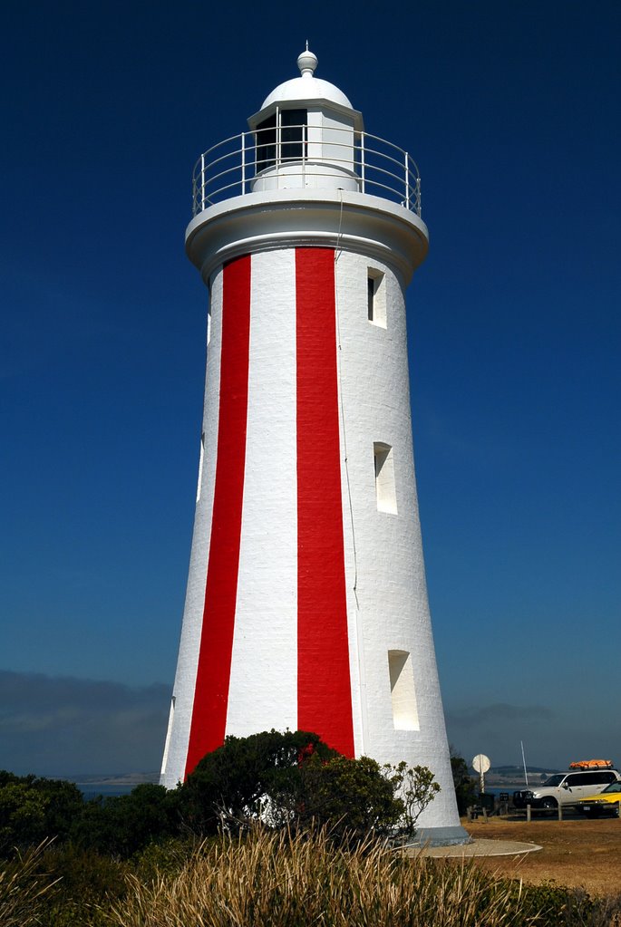
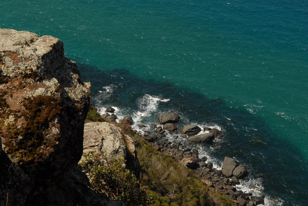
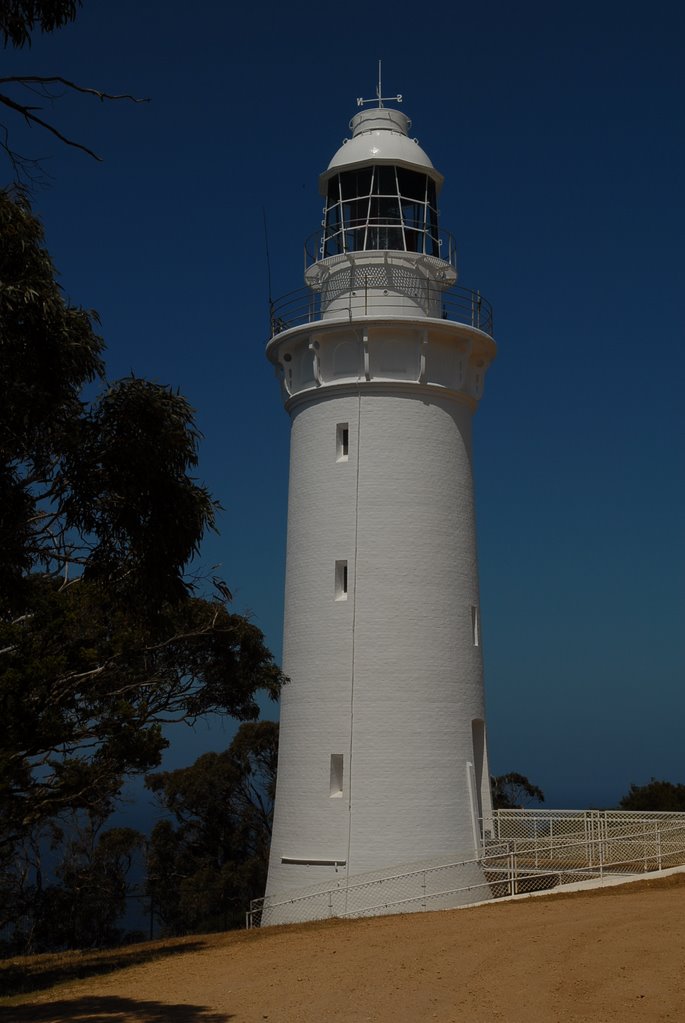
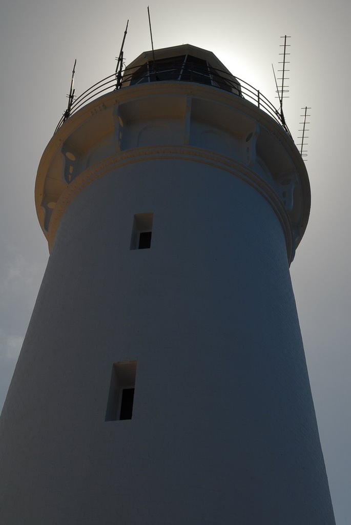
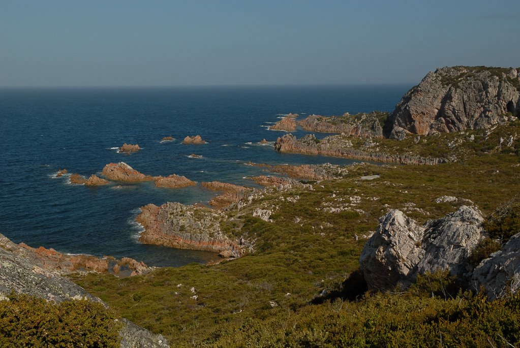
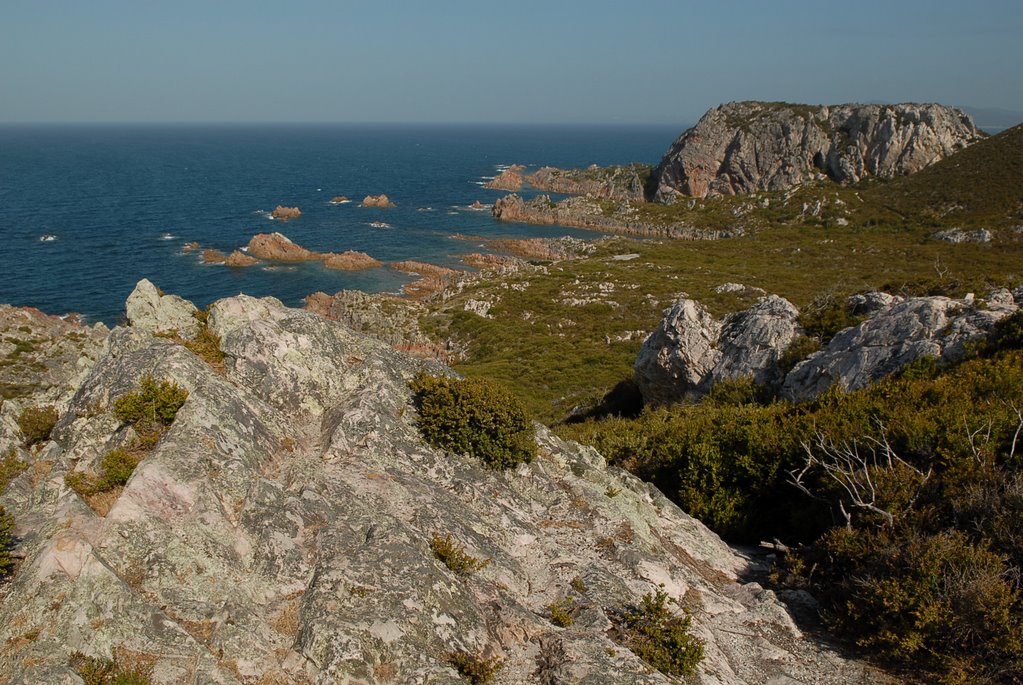
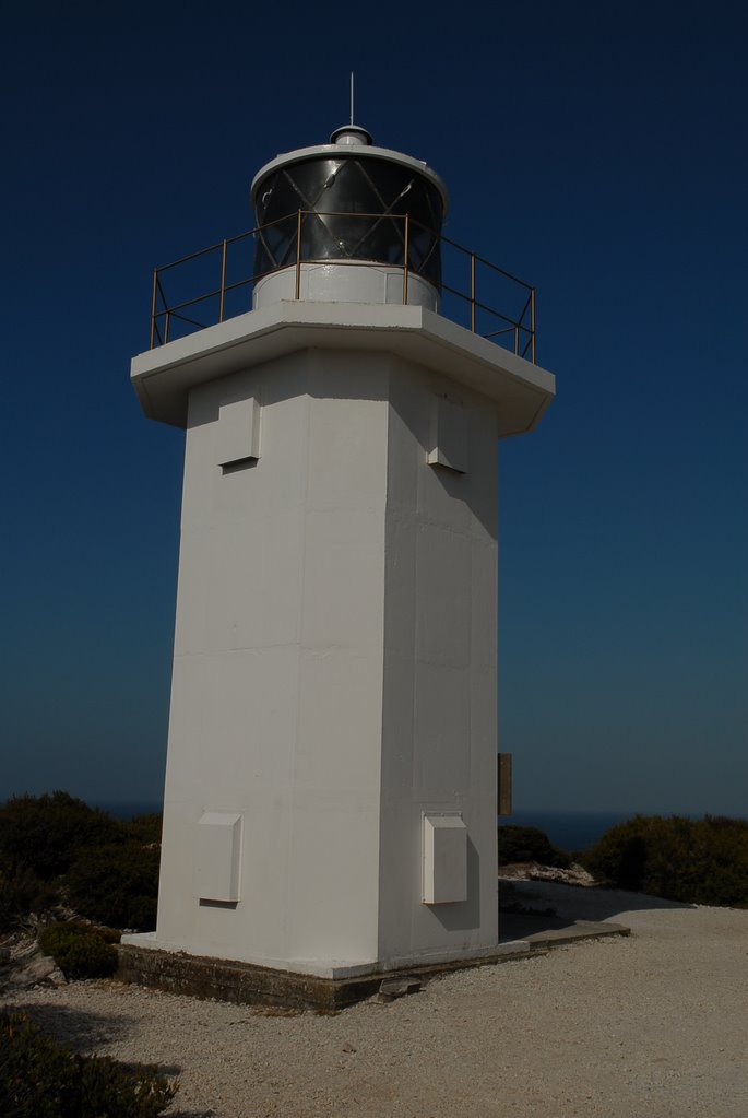
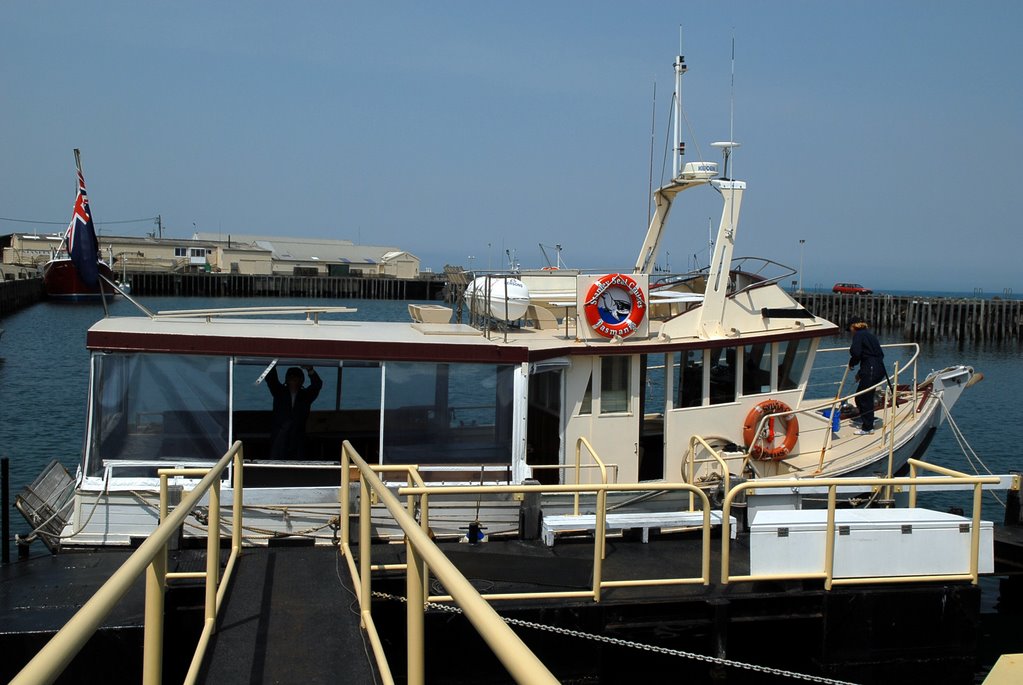
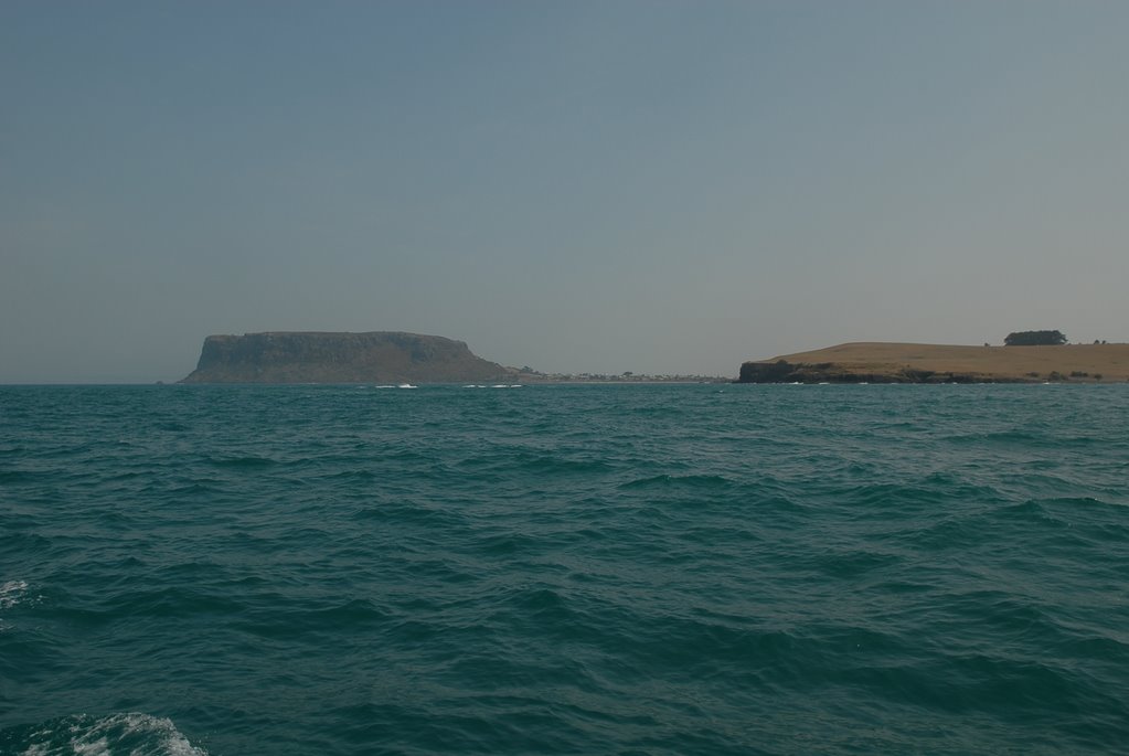
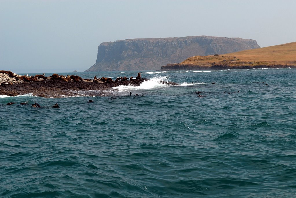
We drove to the south island via Isthmus Bay and the neck that connects the 2 islands. We still had time to go to the most southern point of the south island to the Cape Bruny Lighthouse driving through Alonnah and Lunawanna and enjoying the much prettier terrain of the south island. The view from the 1823 lighthouse was spectacular, to the east of the lighthouse was to Southport on the mainland which is the south end of the Huon Trail. We got to Adventure Bay, the main town of Bruny Island, just in time for our boat cruise.
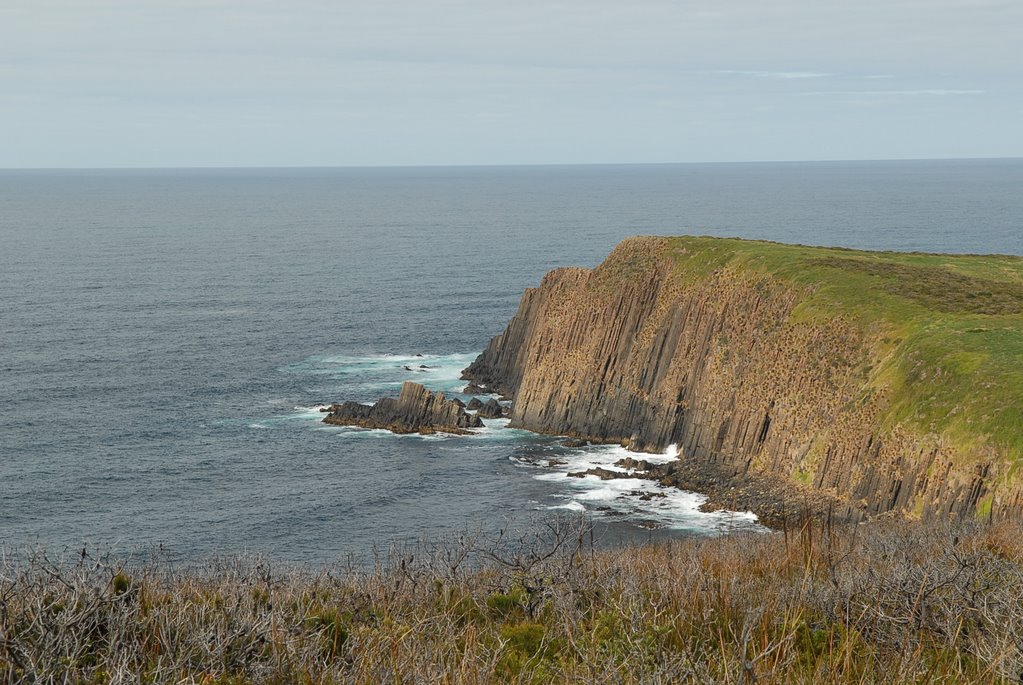
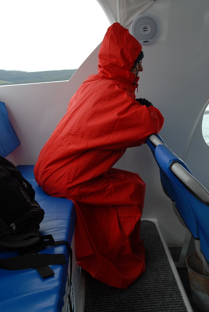
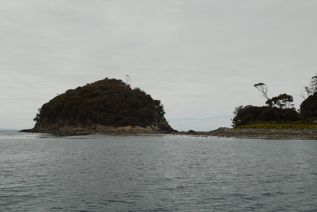
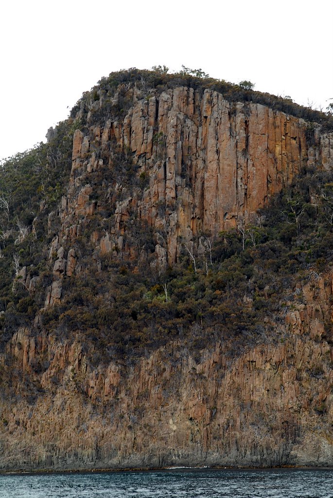
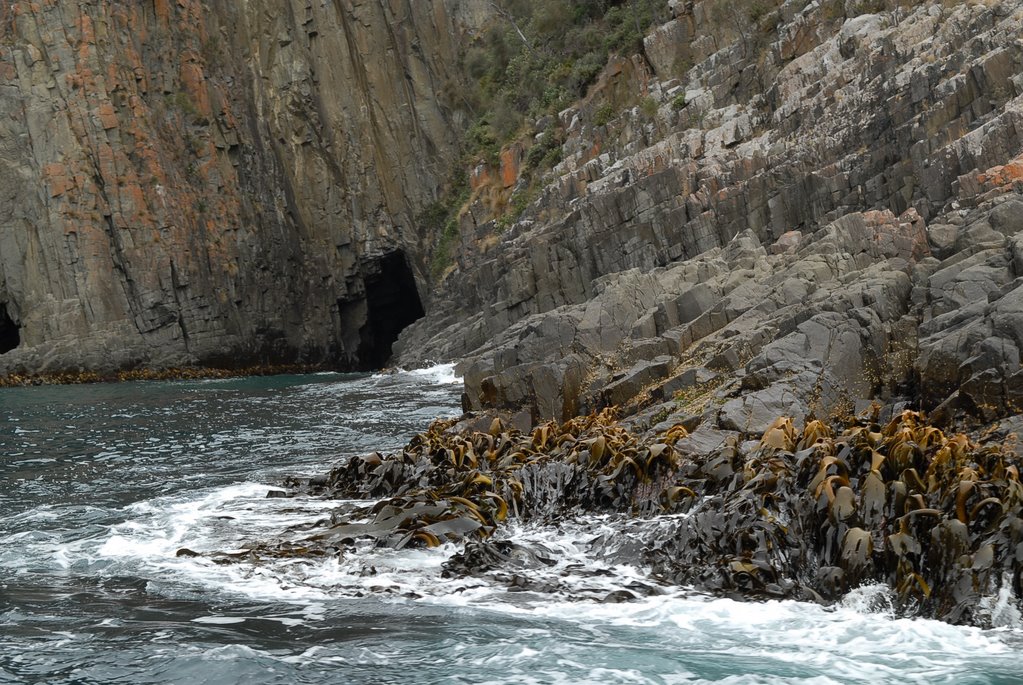
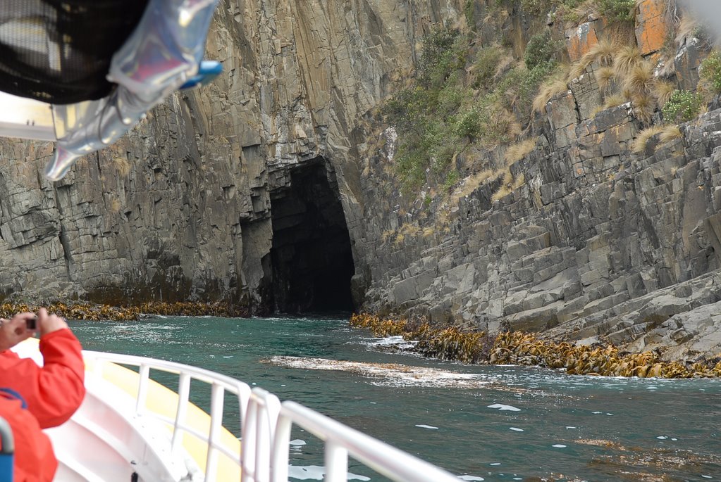
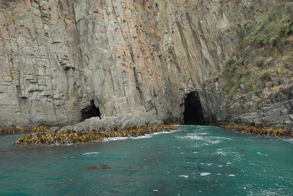
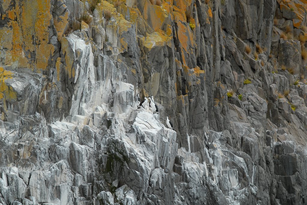
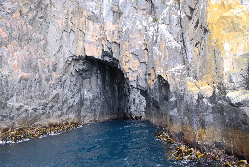
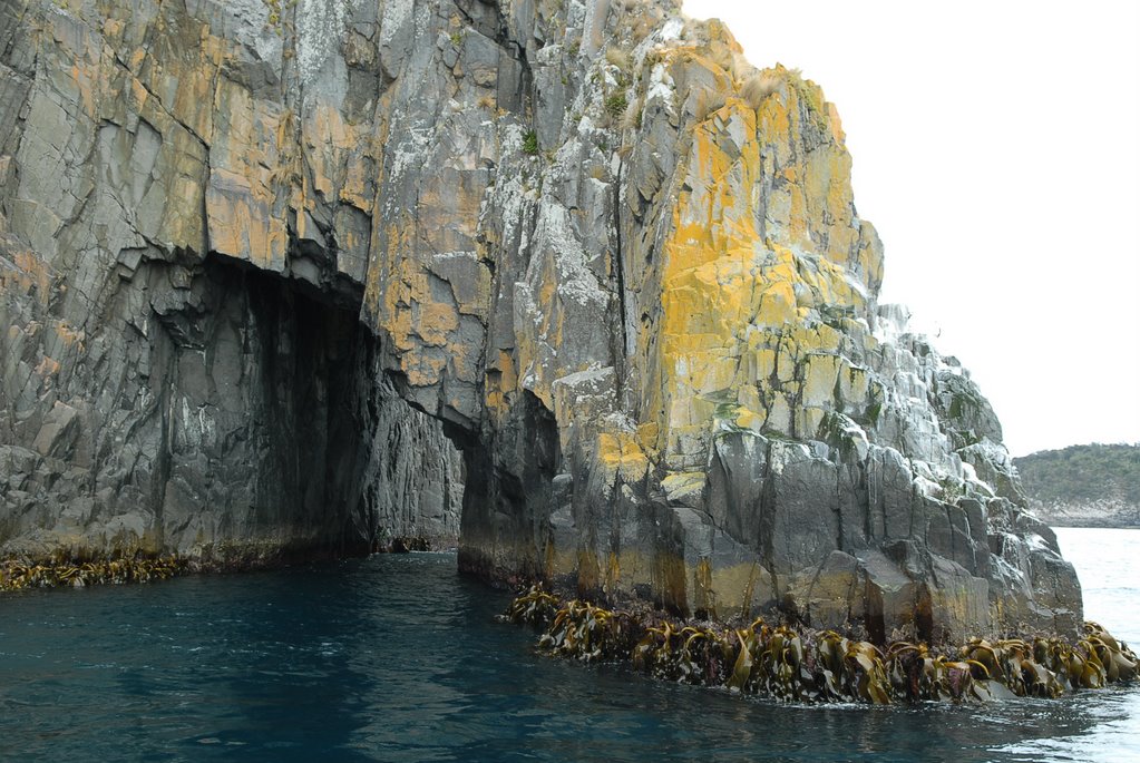
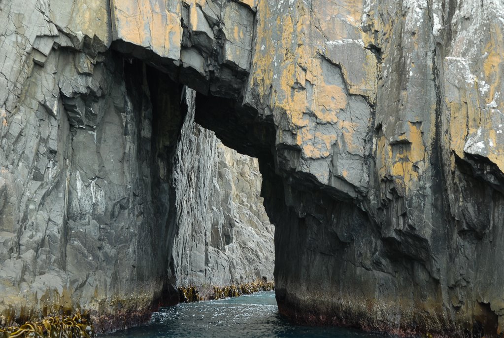
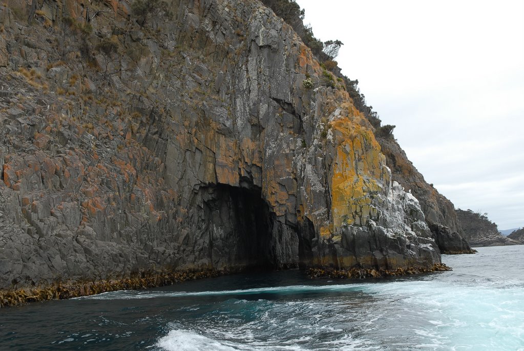
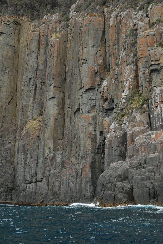
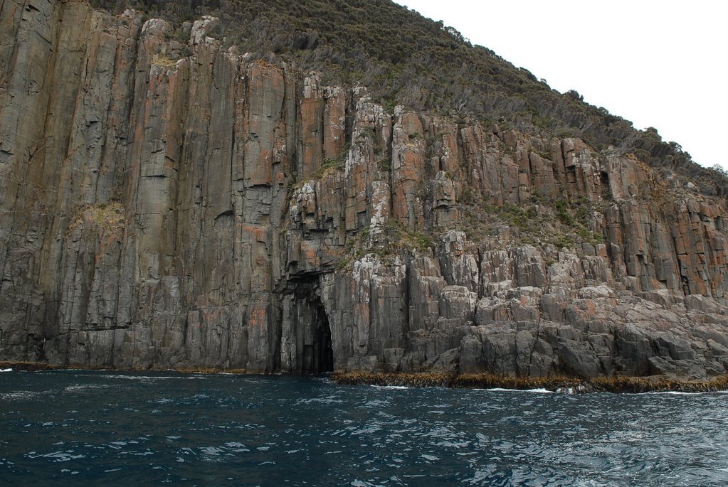
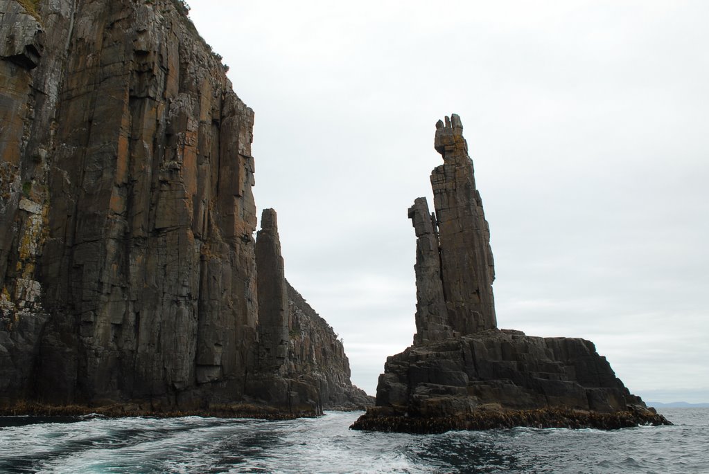
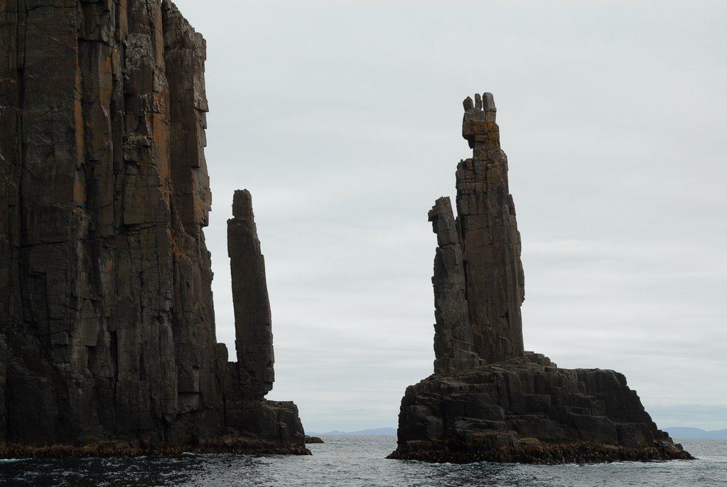
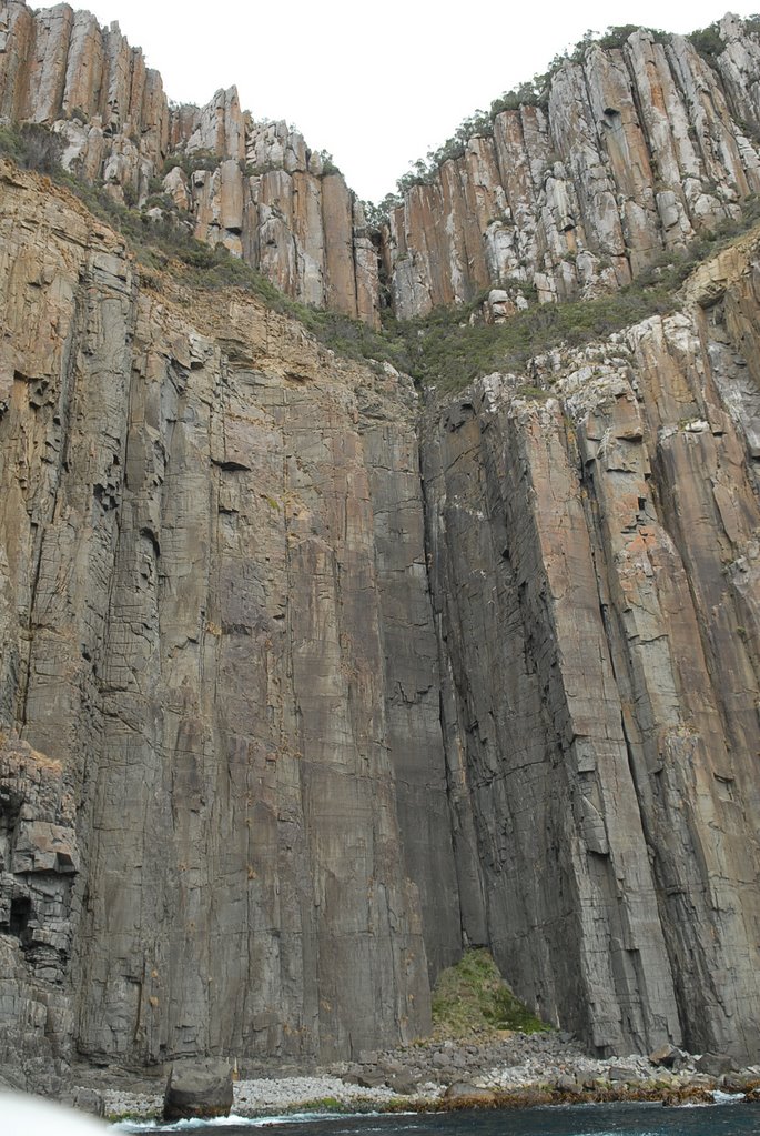
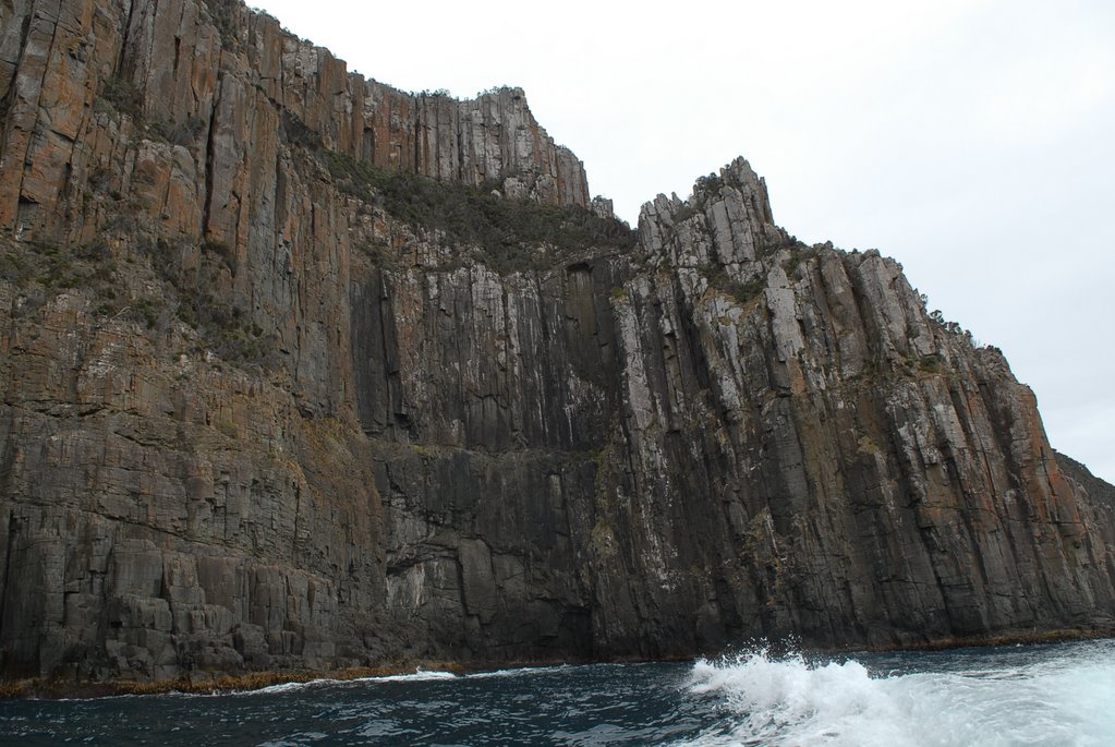
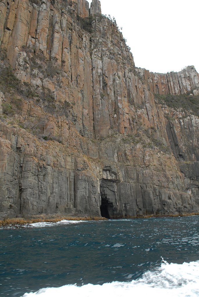
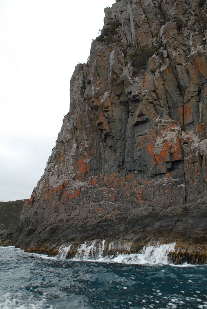
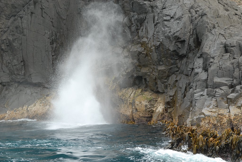
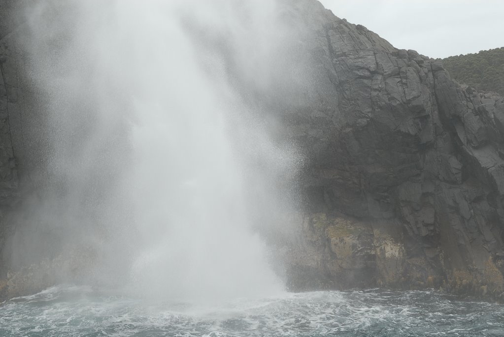
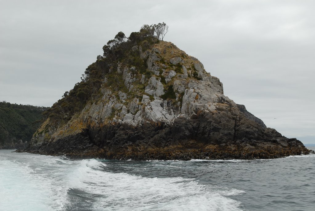
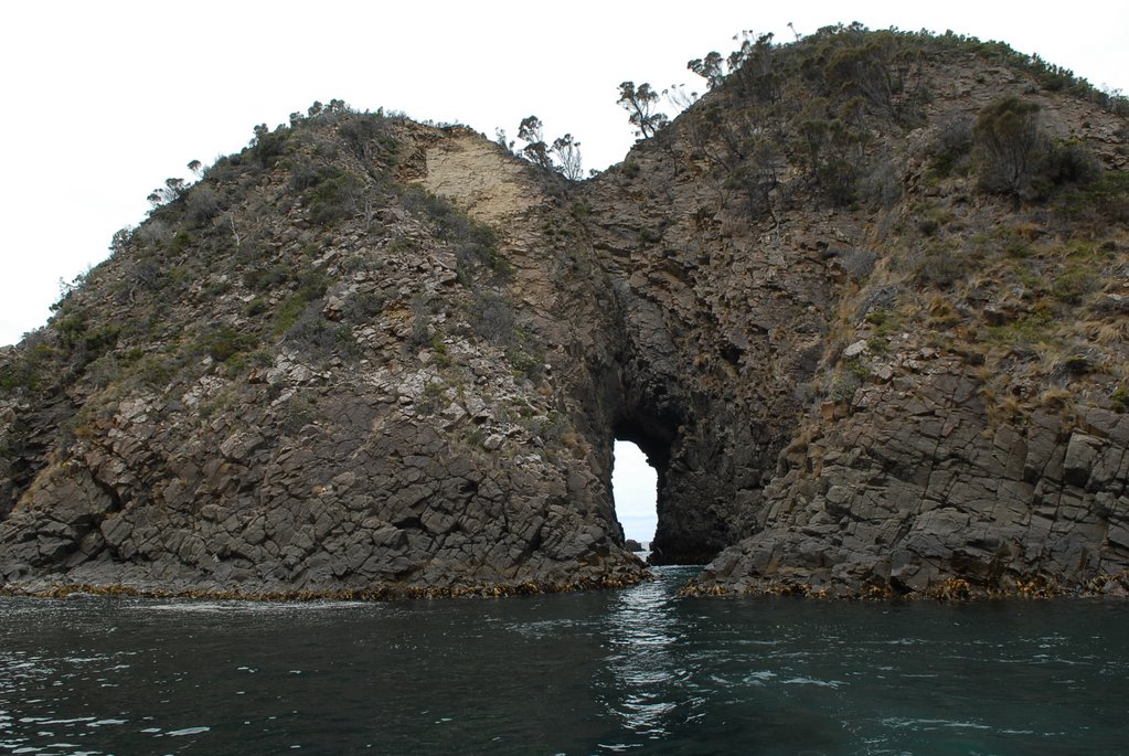
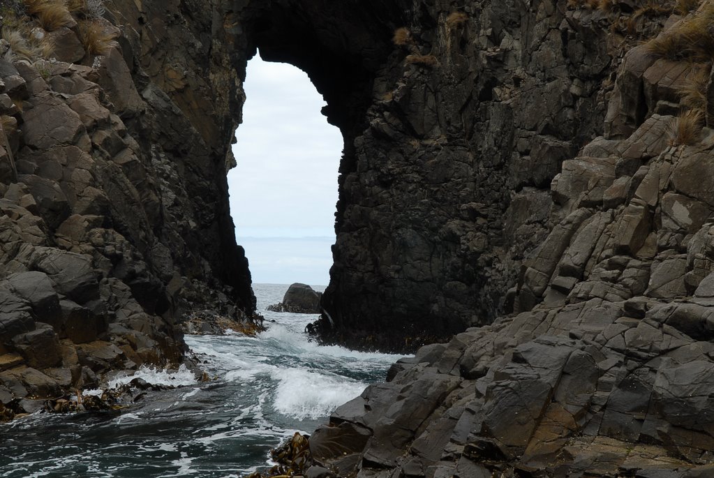
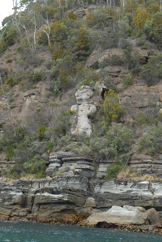
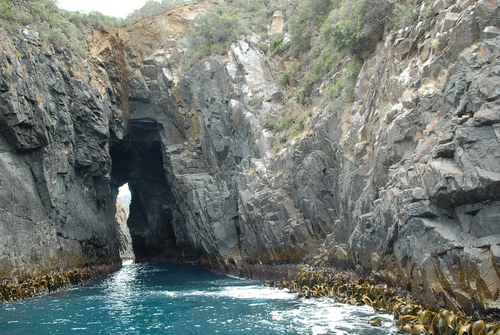
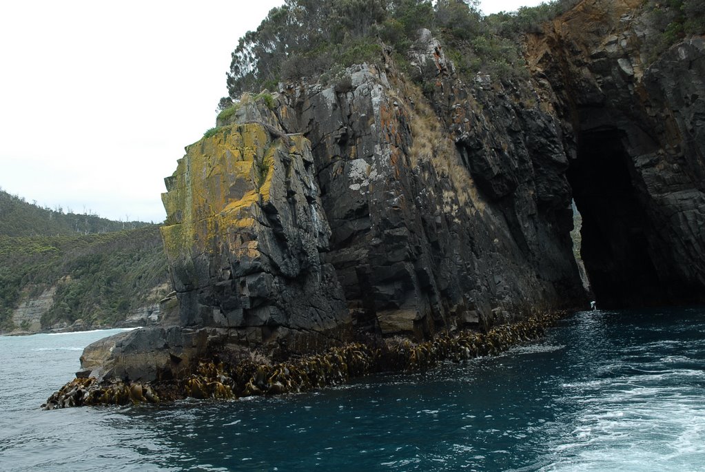
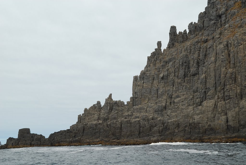
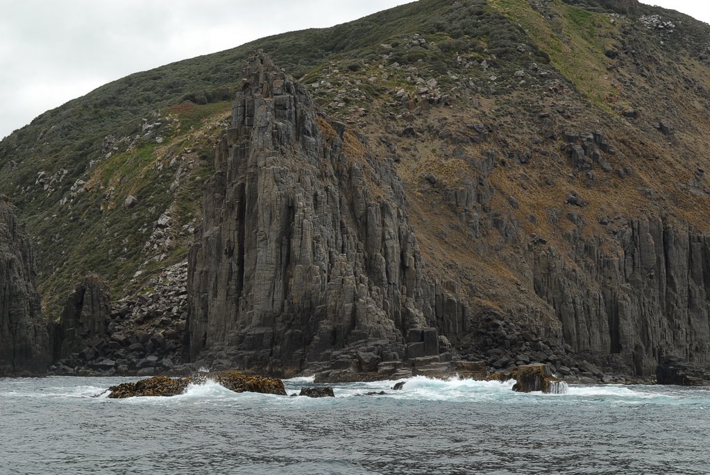
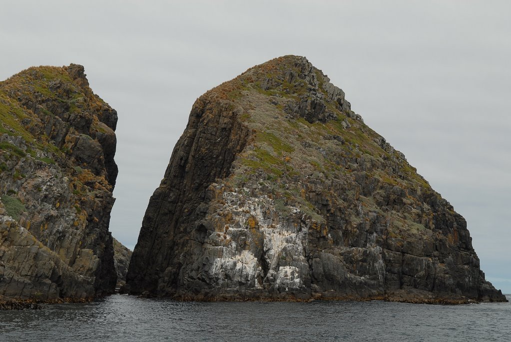
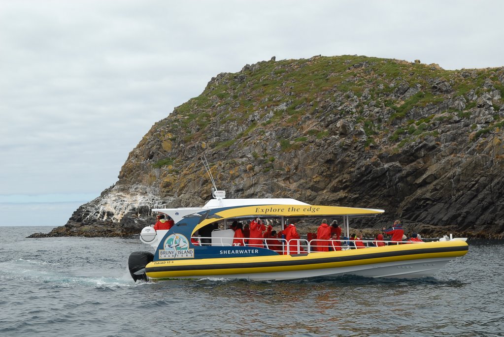
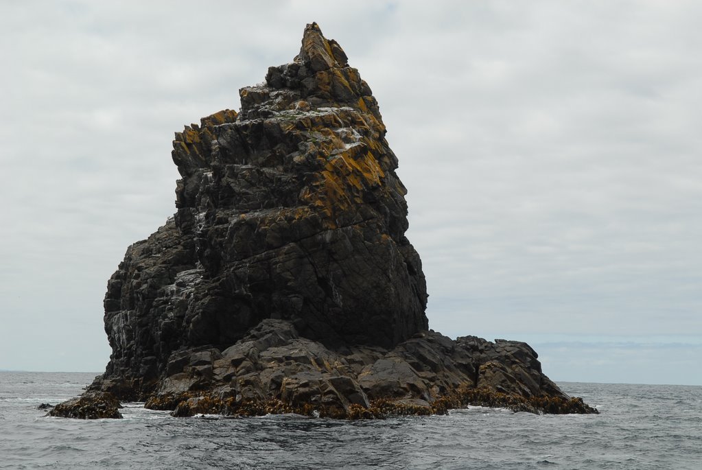
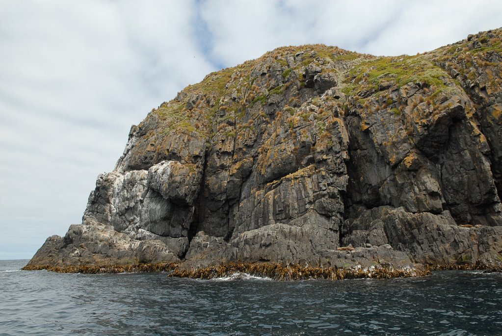
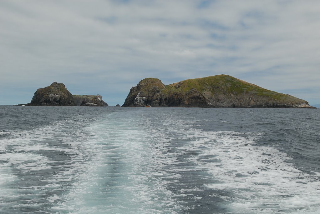
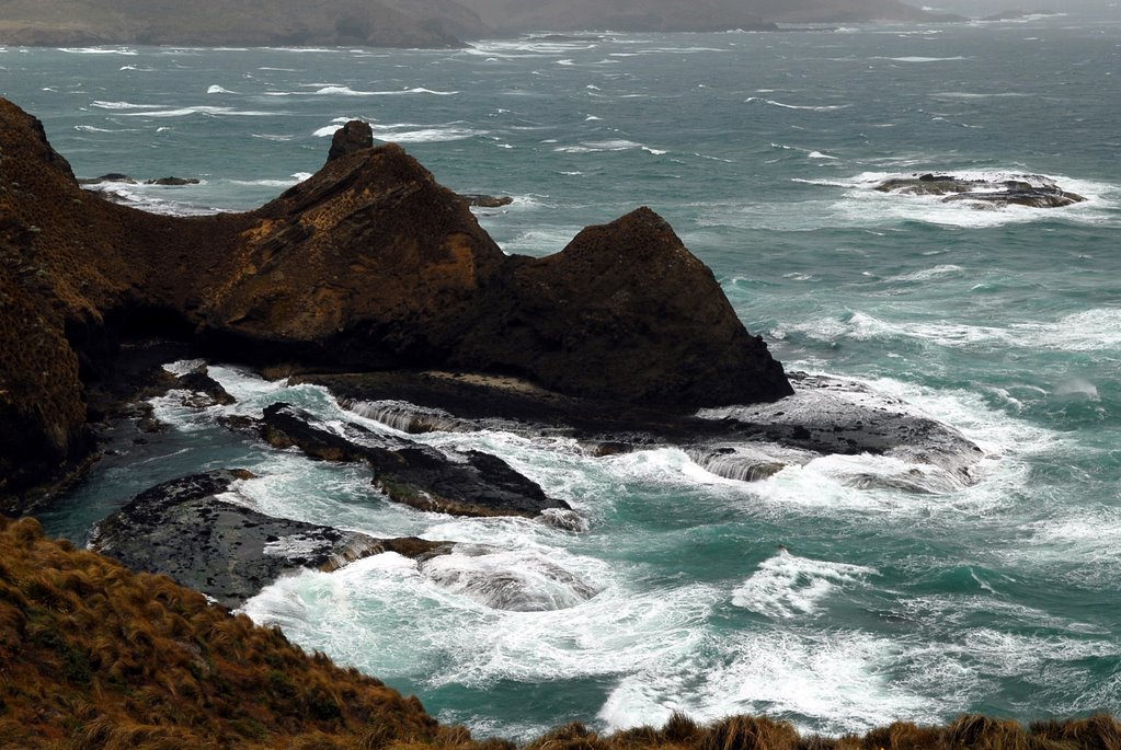
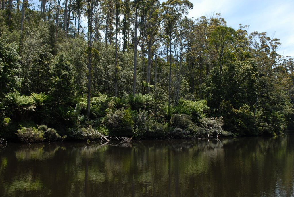
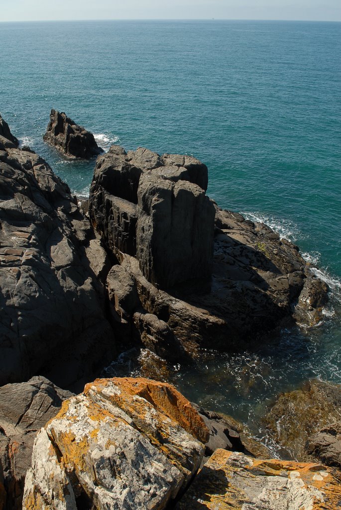
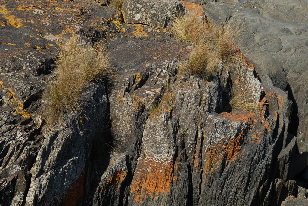
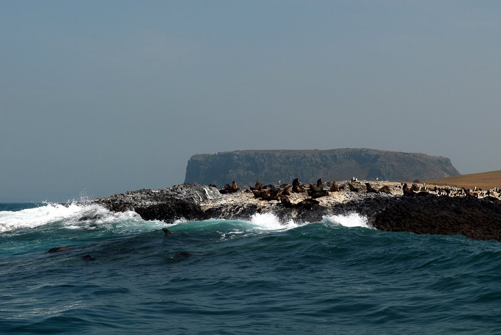
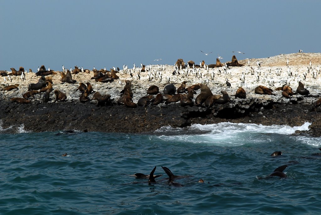
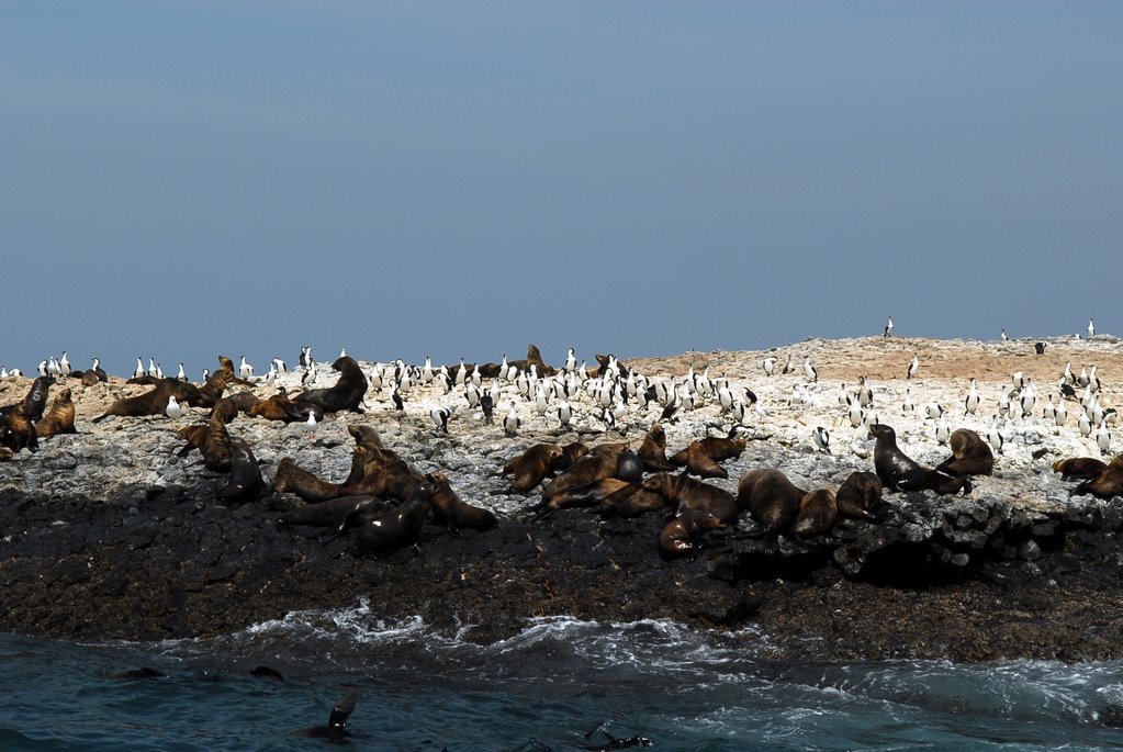
We knew that it would be cold when we were handed rain coats and beanies. We saw the magnificent vertical dolerite cliffs, caves, breathing rocks spectacular columns that the boat drove between. We travelled as far south as The Friars, little islands at the south of south Bruny Island.
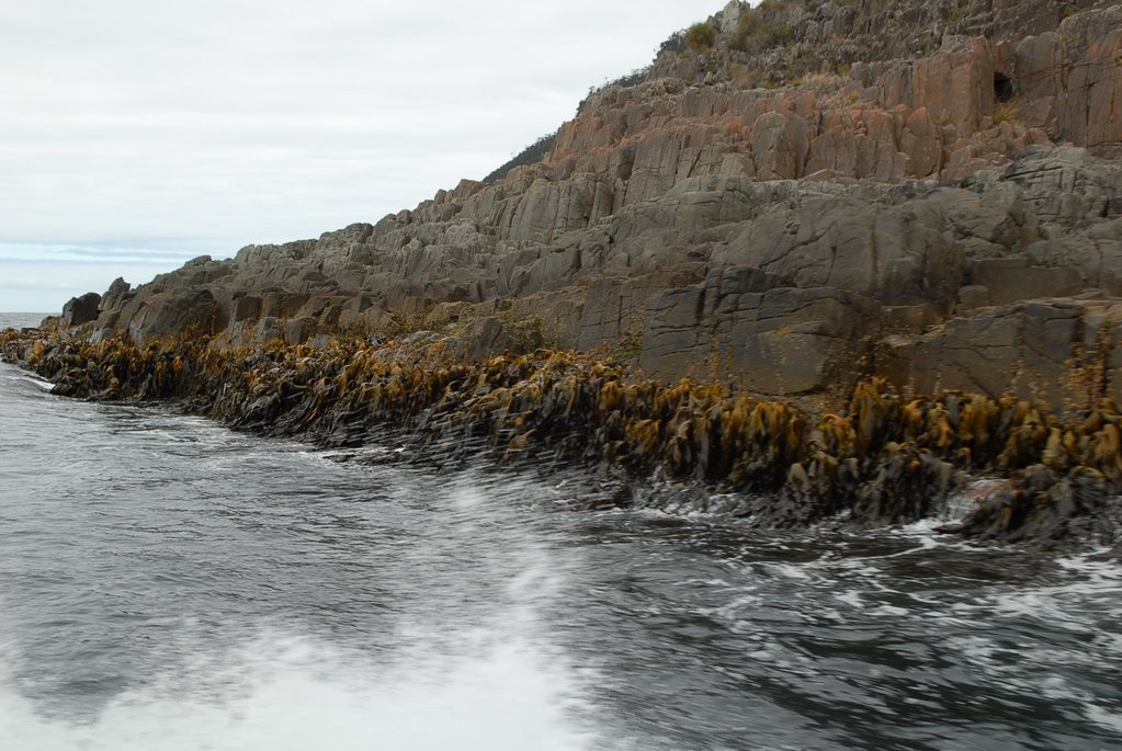
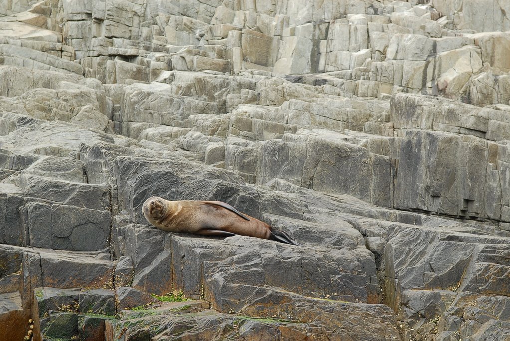
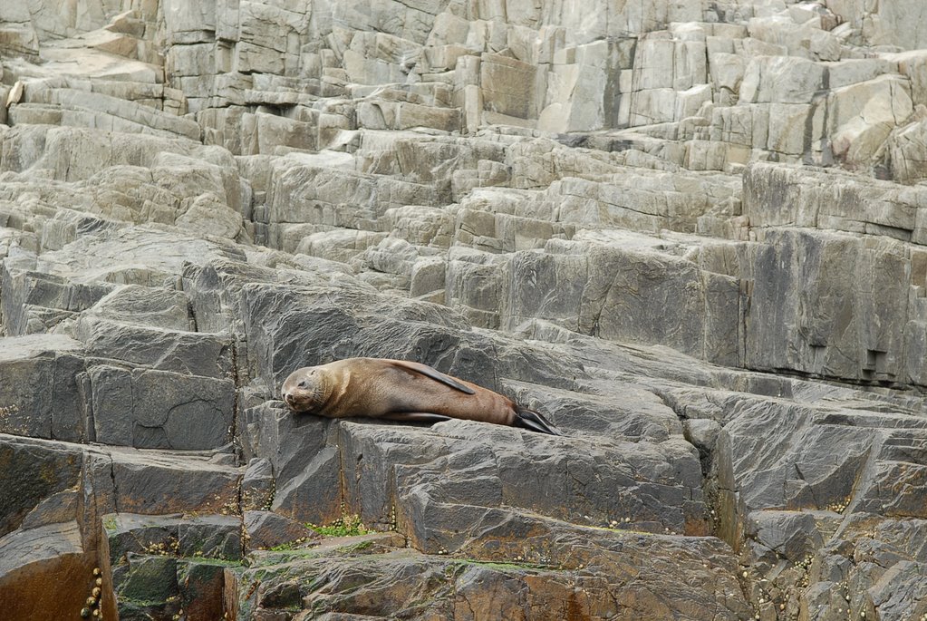
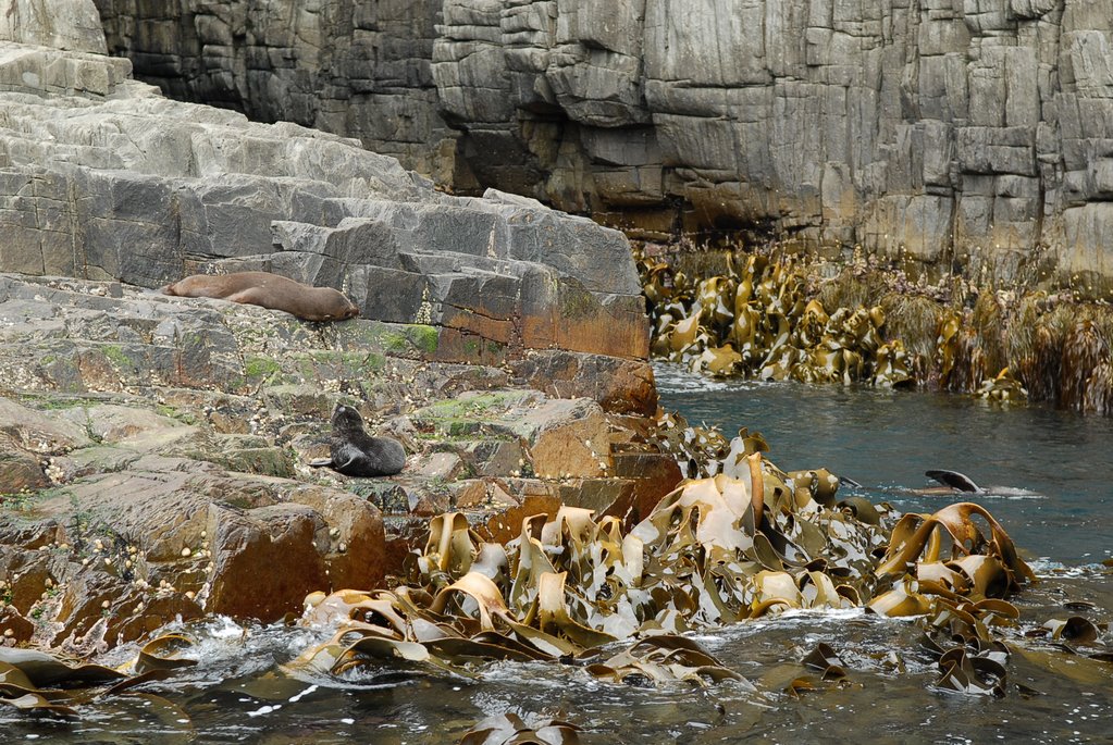
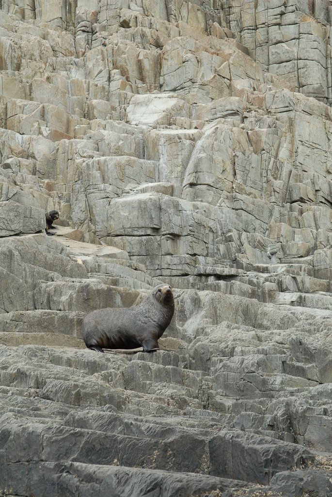
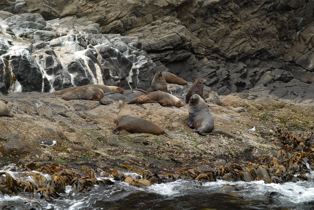
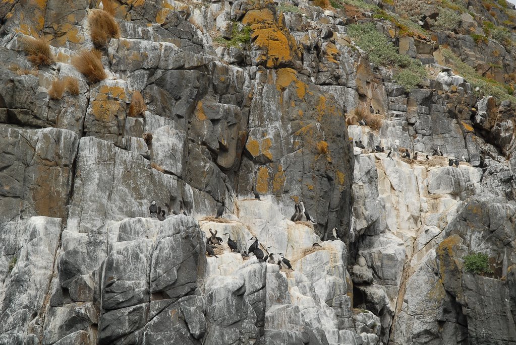
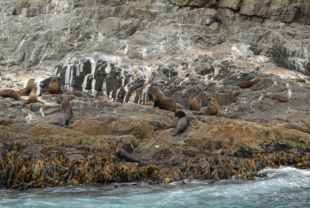
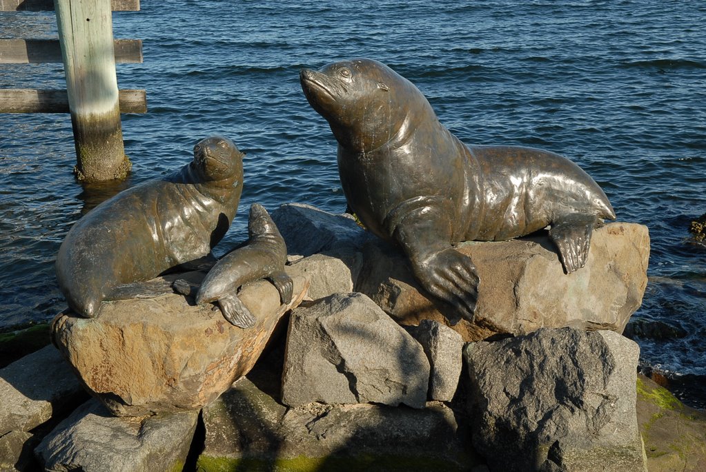
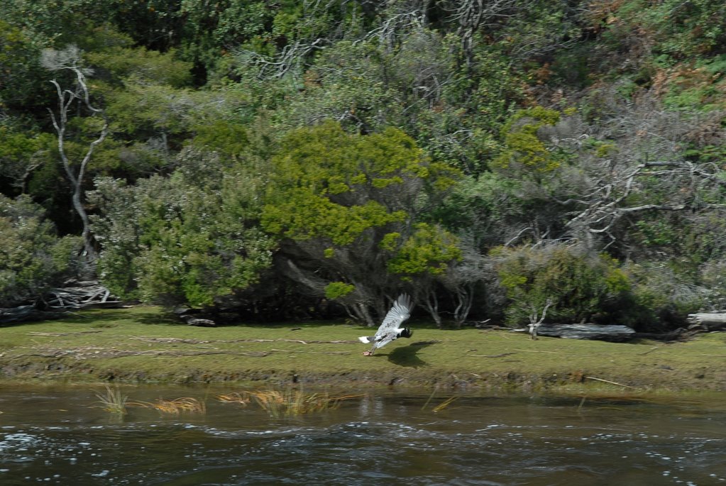
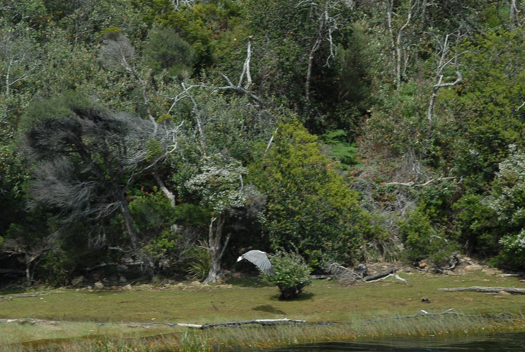
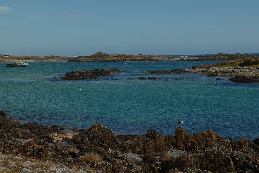
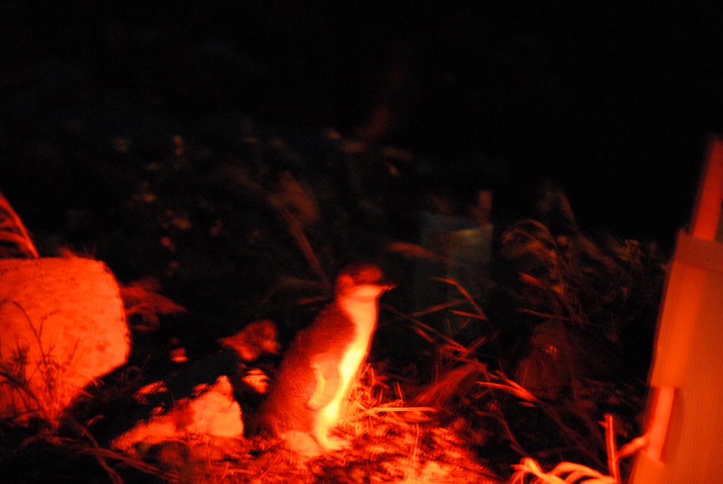
We saw colony of Australian Fur Seals including some babies and watched them frolic in the water, lots of black faced cormorants, Kelp Gulls, Gannets and saw the huge areas of kelp attached to the cliffs, growing sometimes as much as 1m a day.
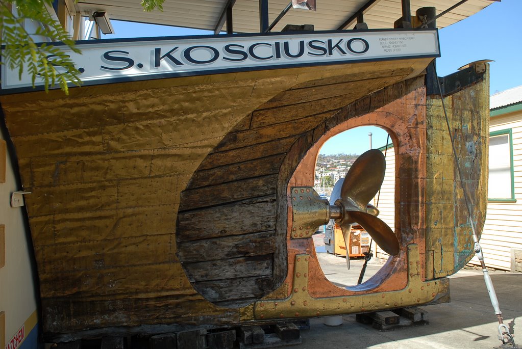
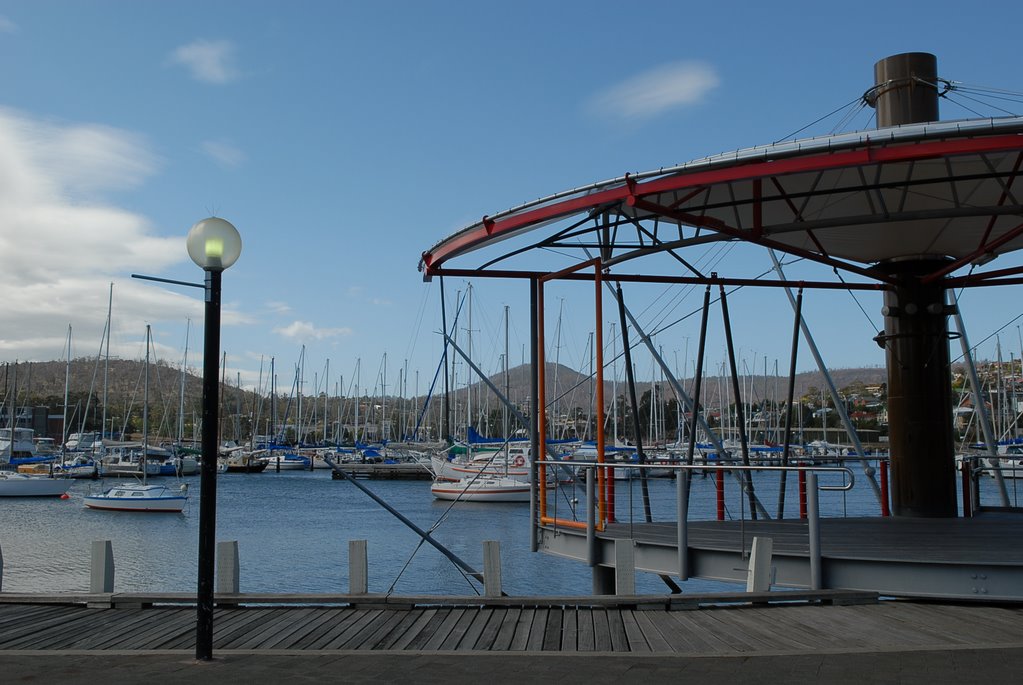
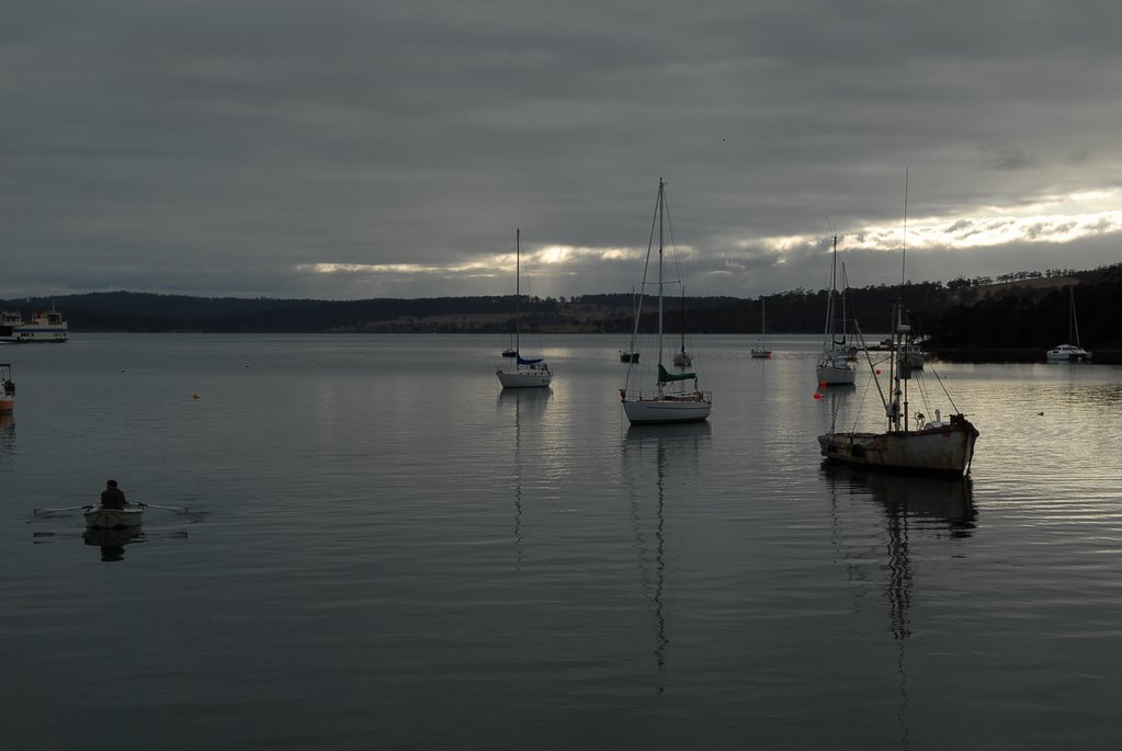
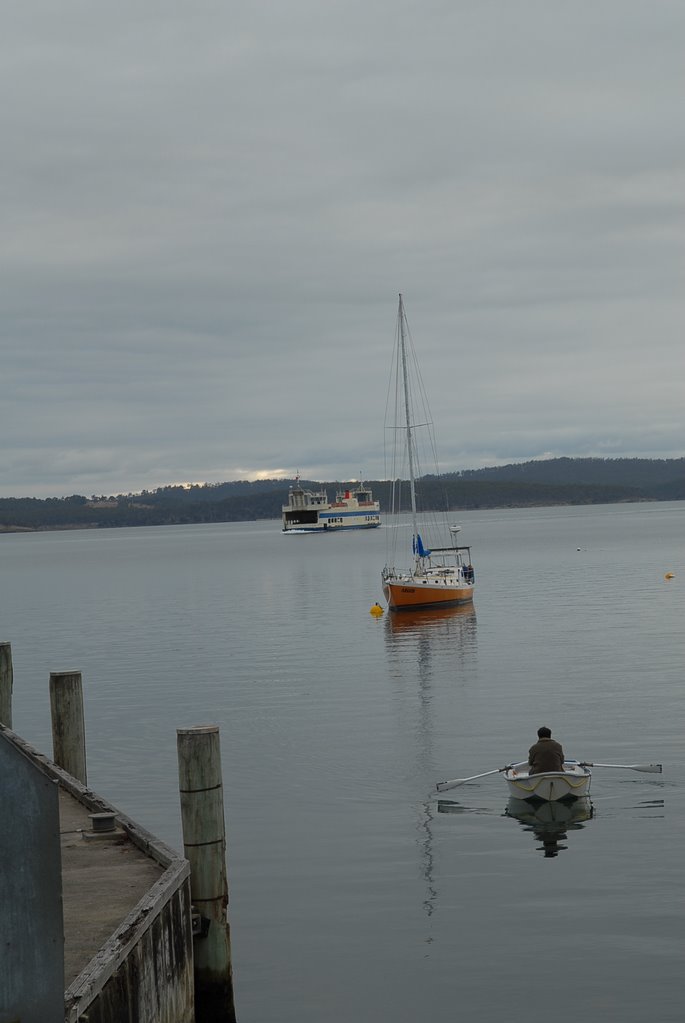
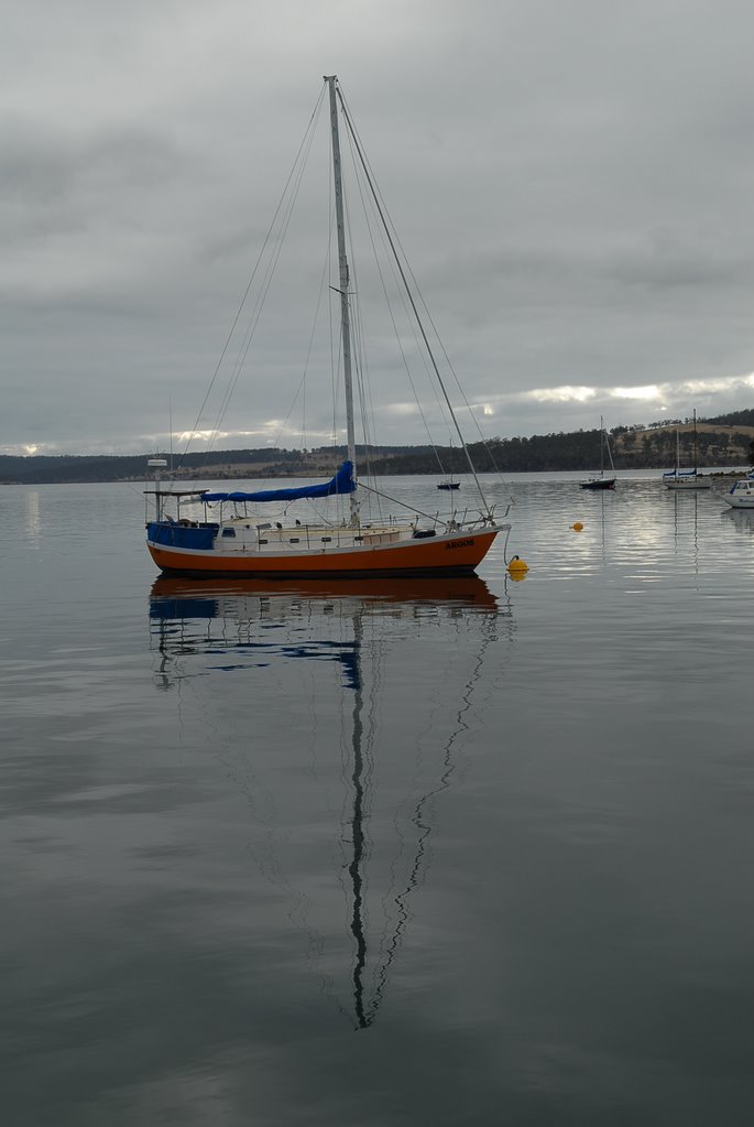
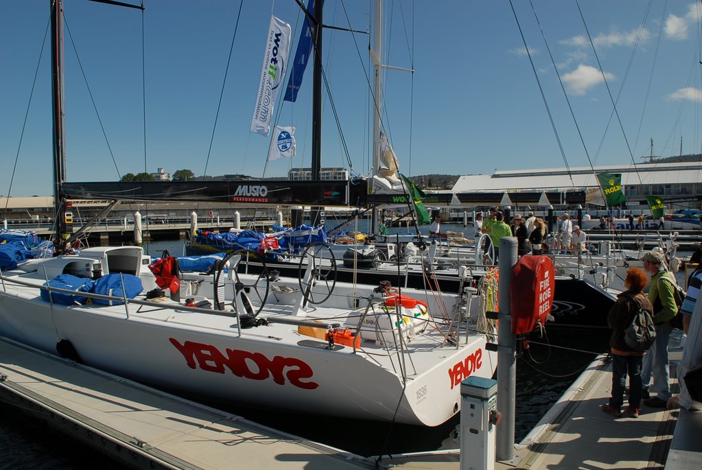
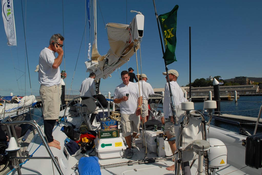
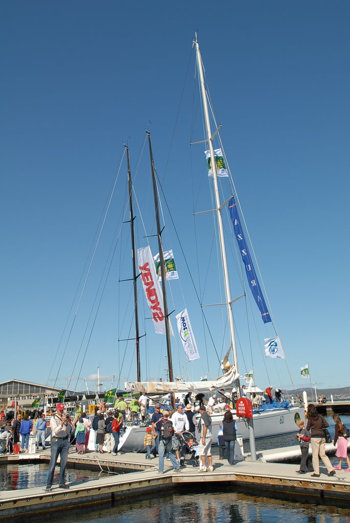
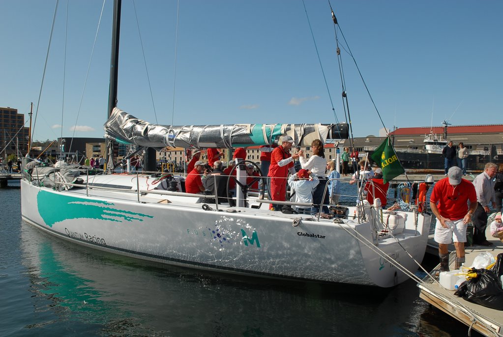
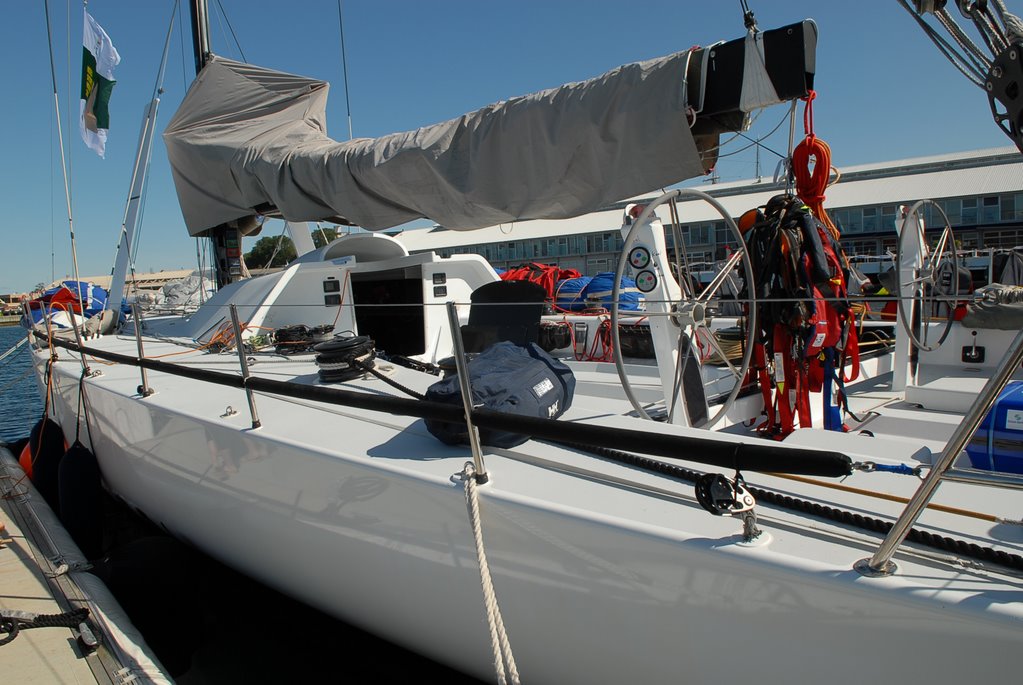
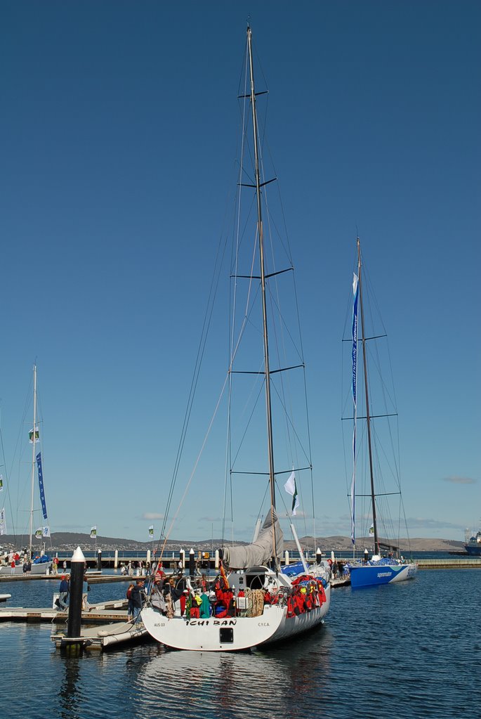
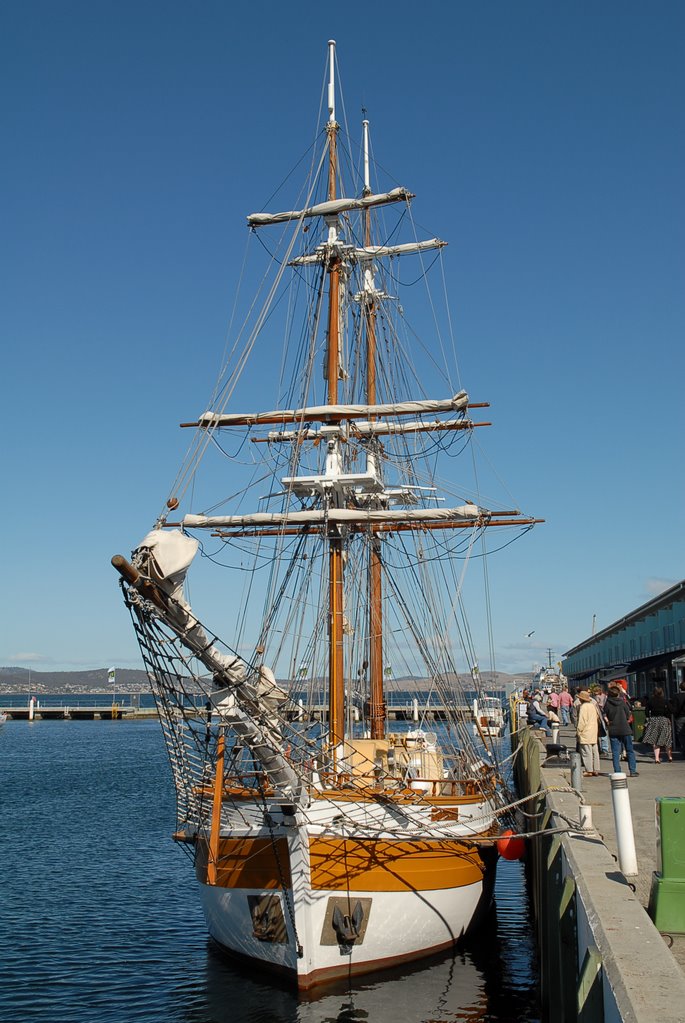
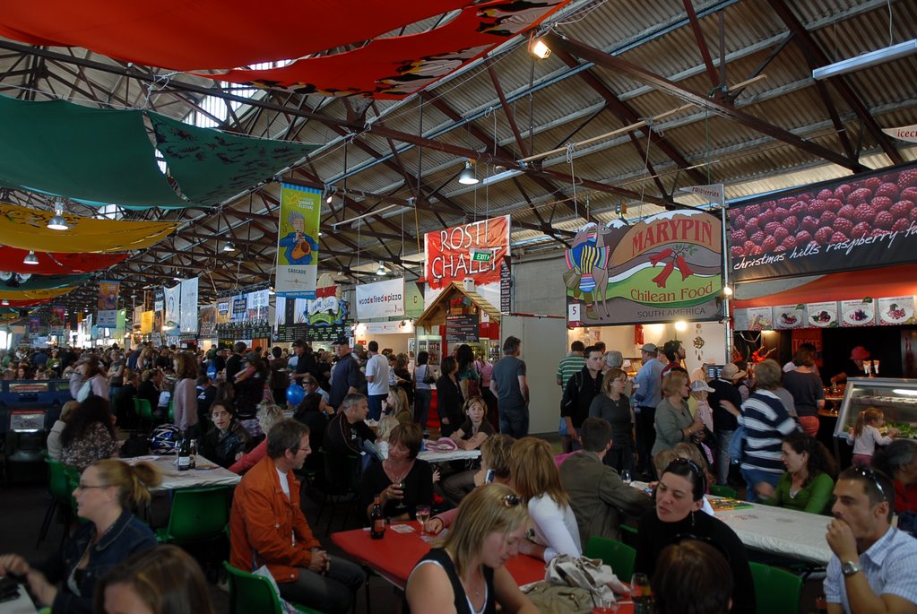
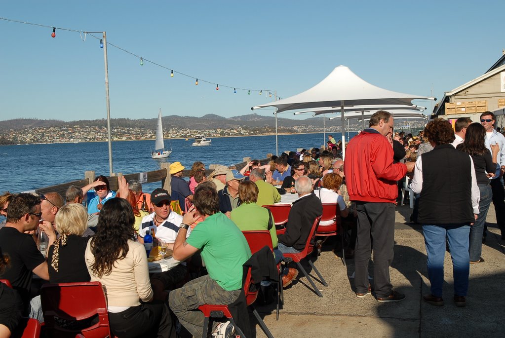
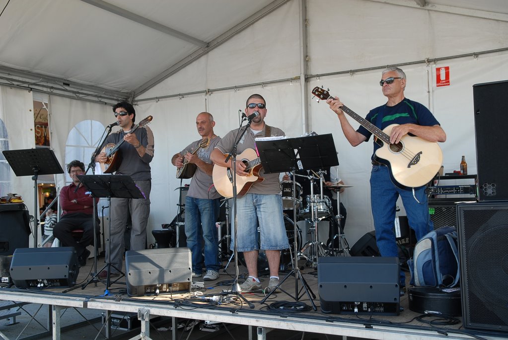
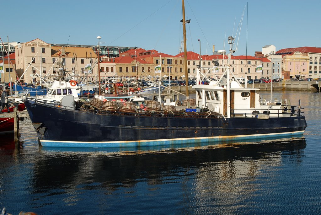
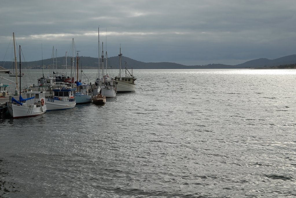
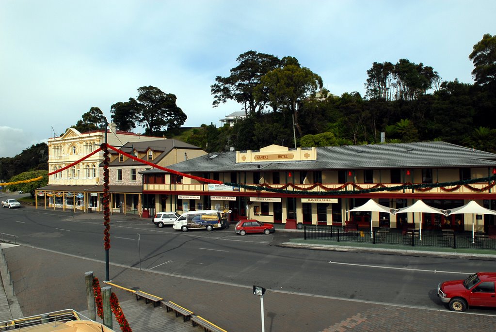
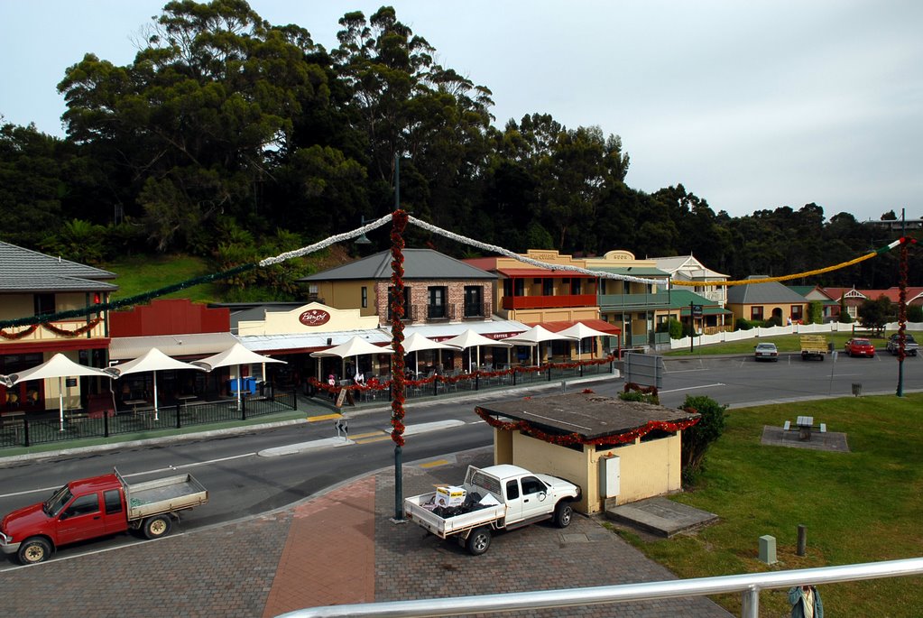
On our way home from this great day we still had enough energy to wonder around Constitution Dock to see at the yachts that had already arrived from the Sydney to Hobart Race and have dinner at the Hobart Food Fest.
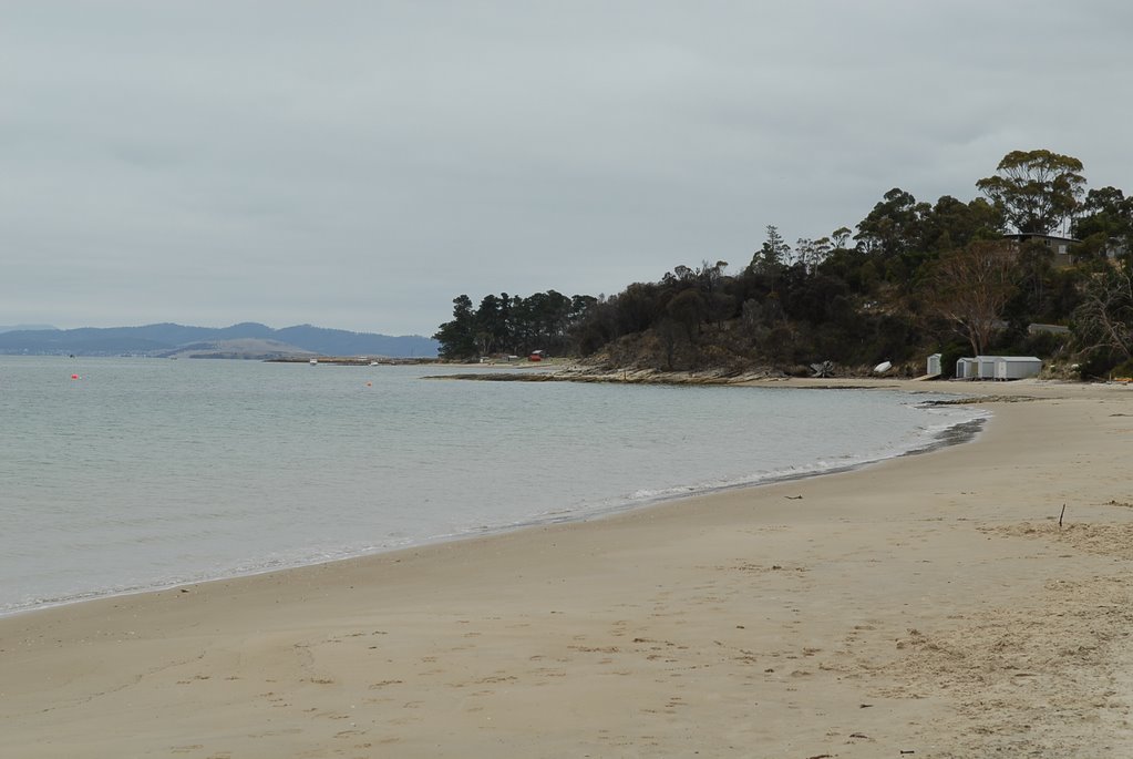
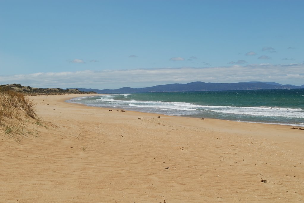
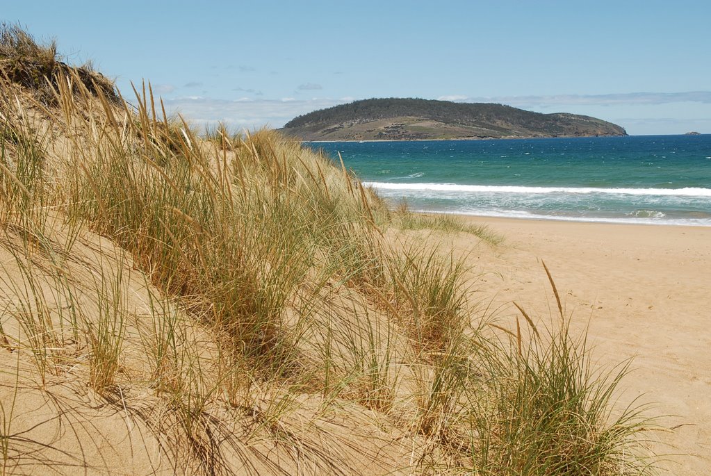
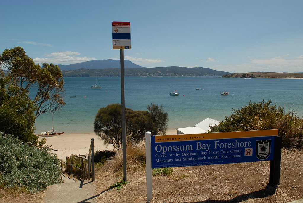
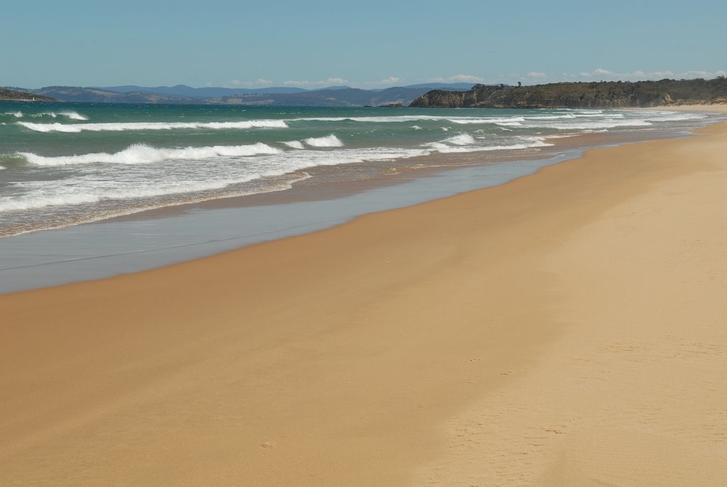
The next day we drove down the east side of the Derwent River to Opossum Bay which is a beautiful little community across from Kingston on the mouth of the Derwent River. It is a lovely little community which is not mentioned in any of the tourist brochures and is a well kept local secret.
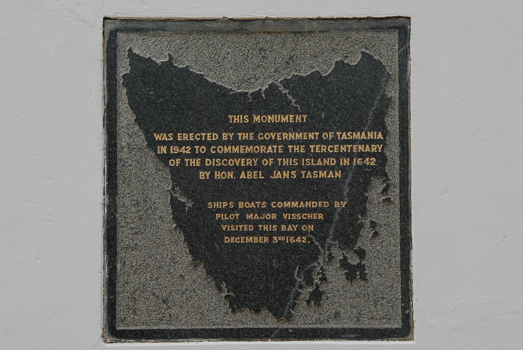
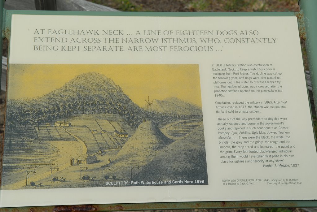
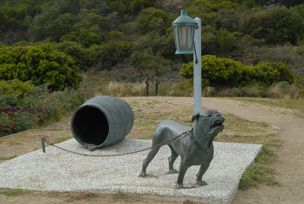
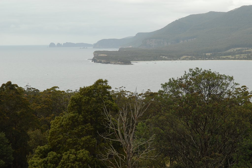
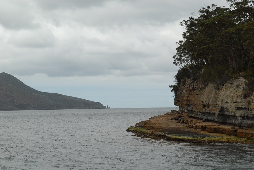
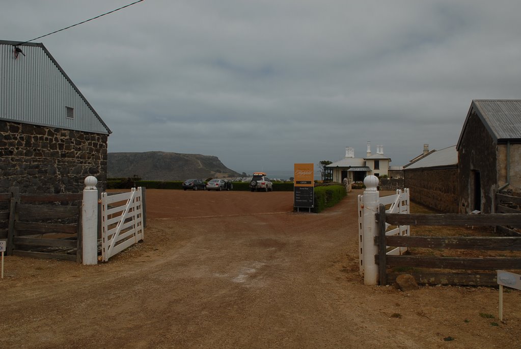
Our next day trip was to Port Arthur on the Tasman Peninsula stopping at Dunalley, a beautiful little fishing village with a monument to Abel Tasman, the 1st European to discover Tasmania. We continued on to Eaglehawk Neck which is the neck between the Forestier Peninsula and the Tasman Peninsula.
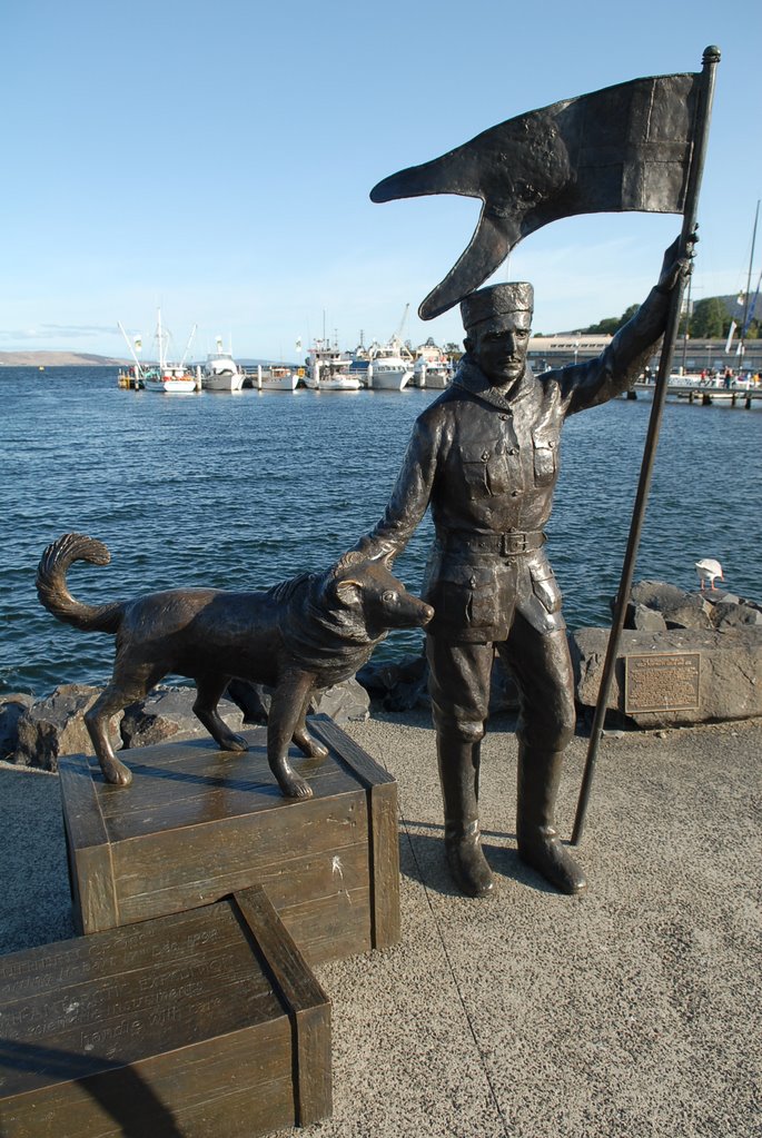
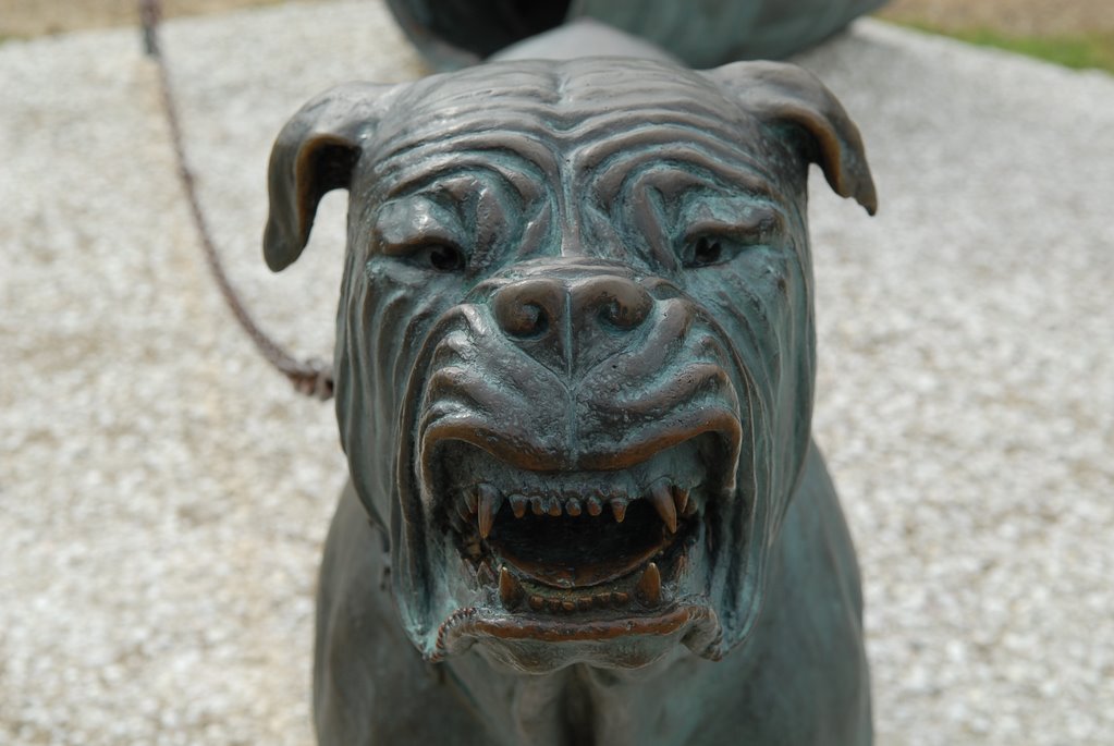
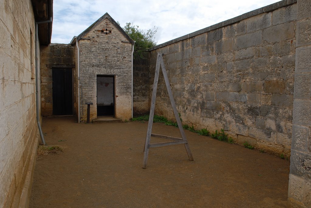
The Neck was one of the reasons that the Tasman Peninsula was selected for the penal settlement as it was easy to patrol and catch any escaped convicts as the only escape over land was past this narrow neck. The army set up a “Dog Chain” which was literally 18 ferocious dogs chained together so that any one passing the neck would be detected. There is a statue of a dog to commemorate this time.
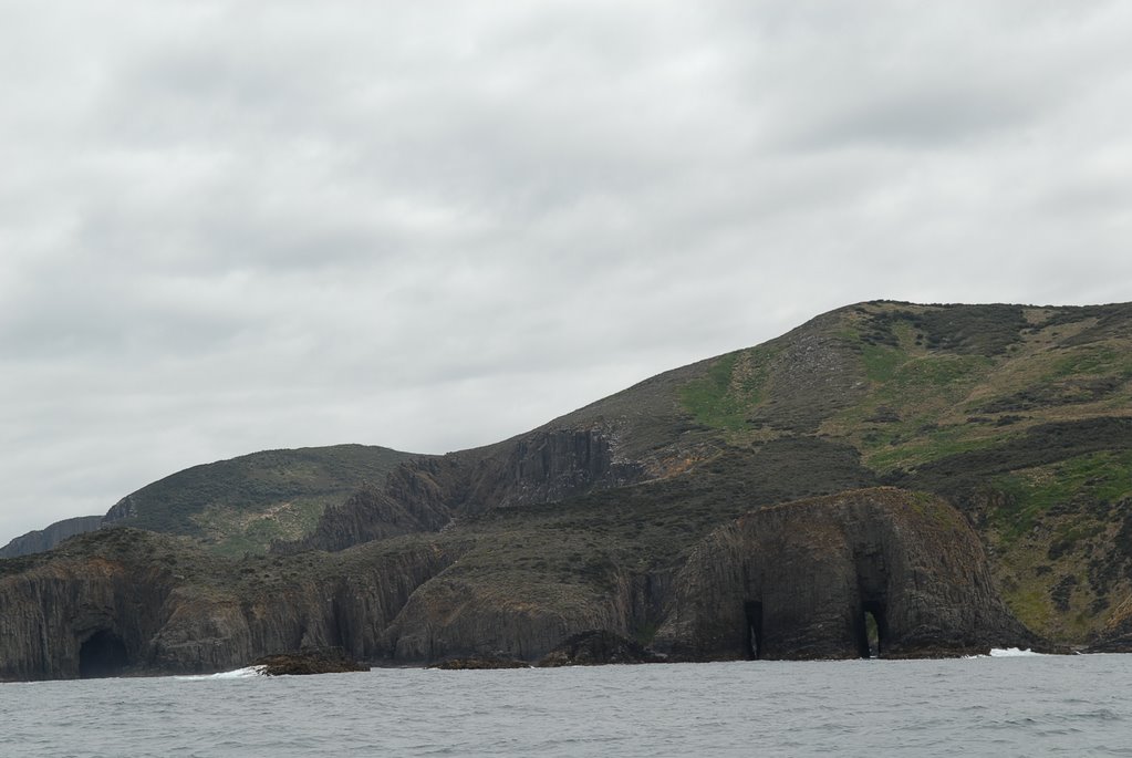
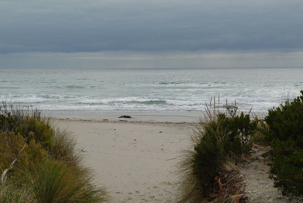
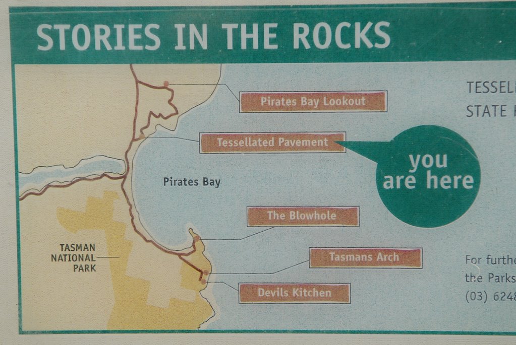
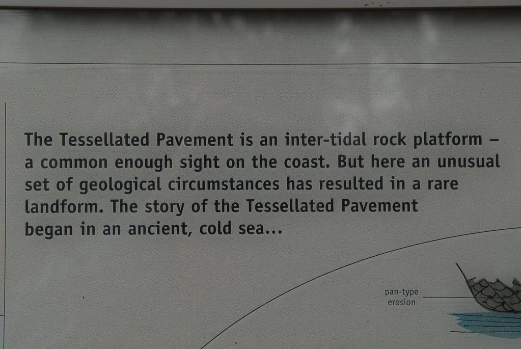
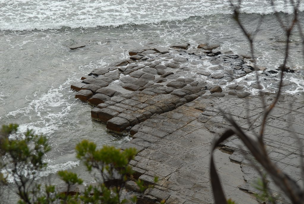
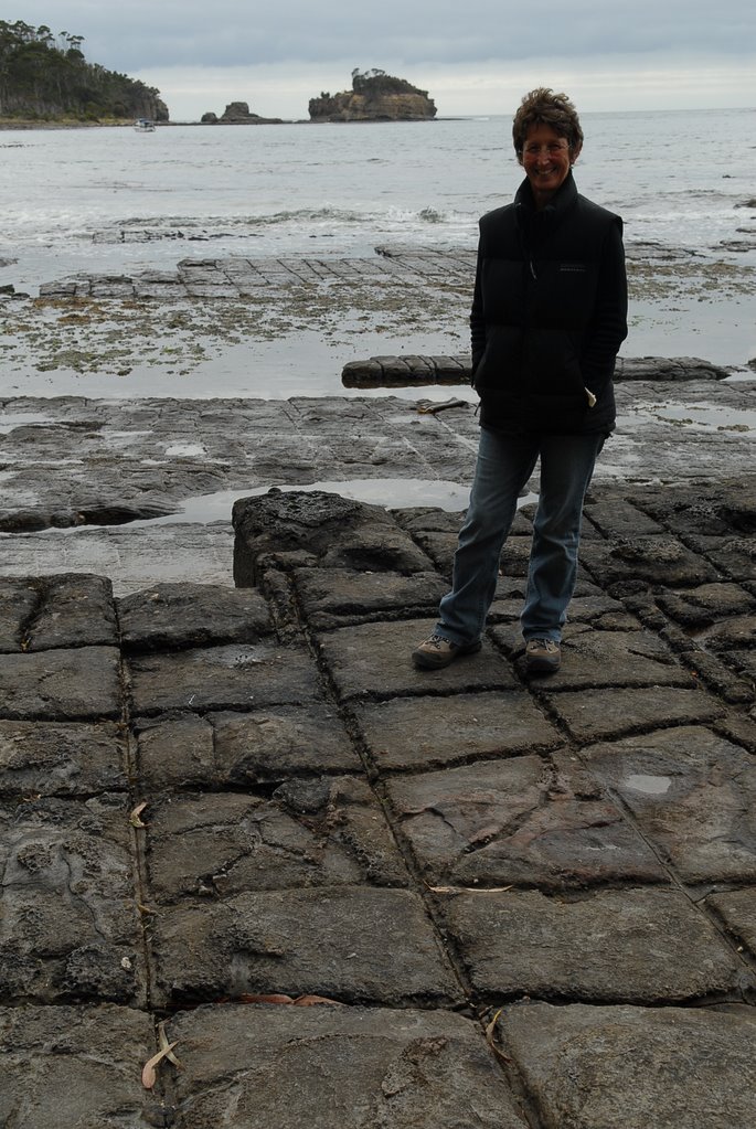
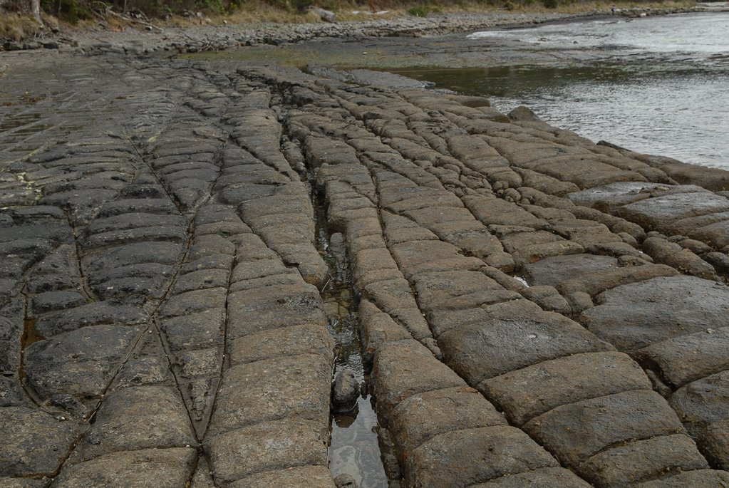
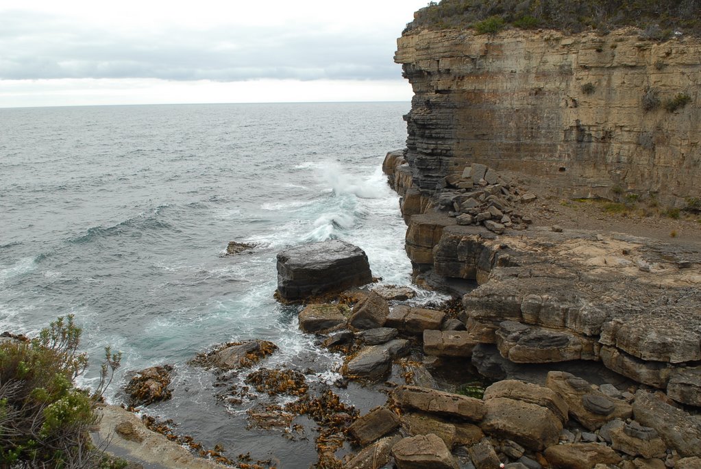
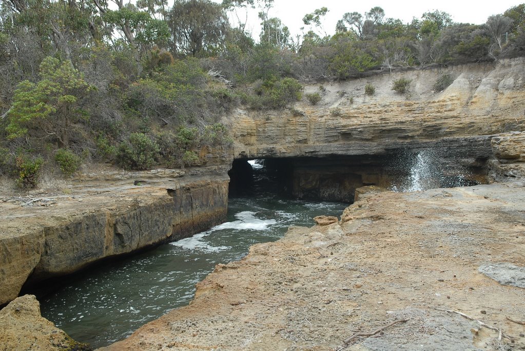
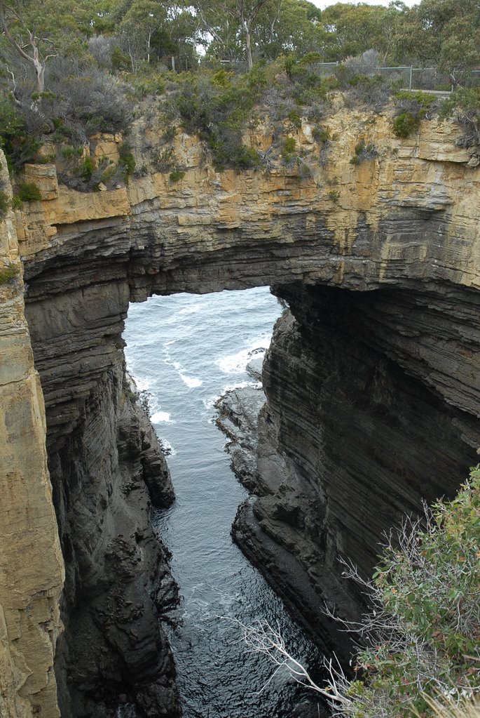
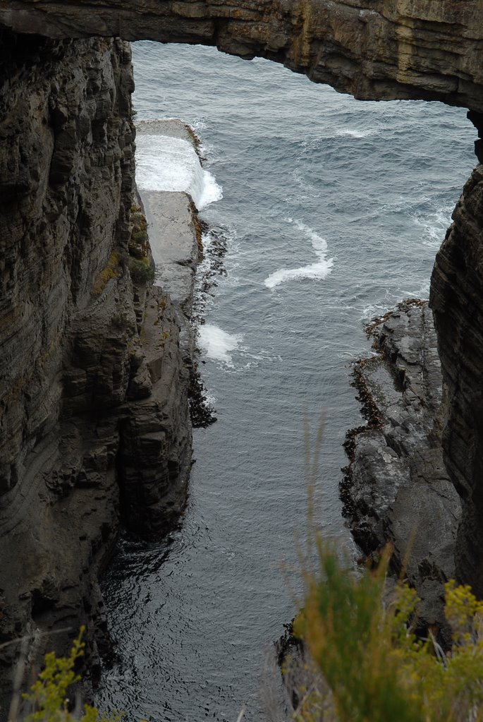
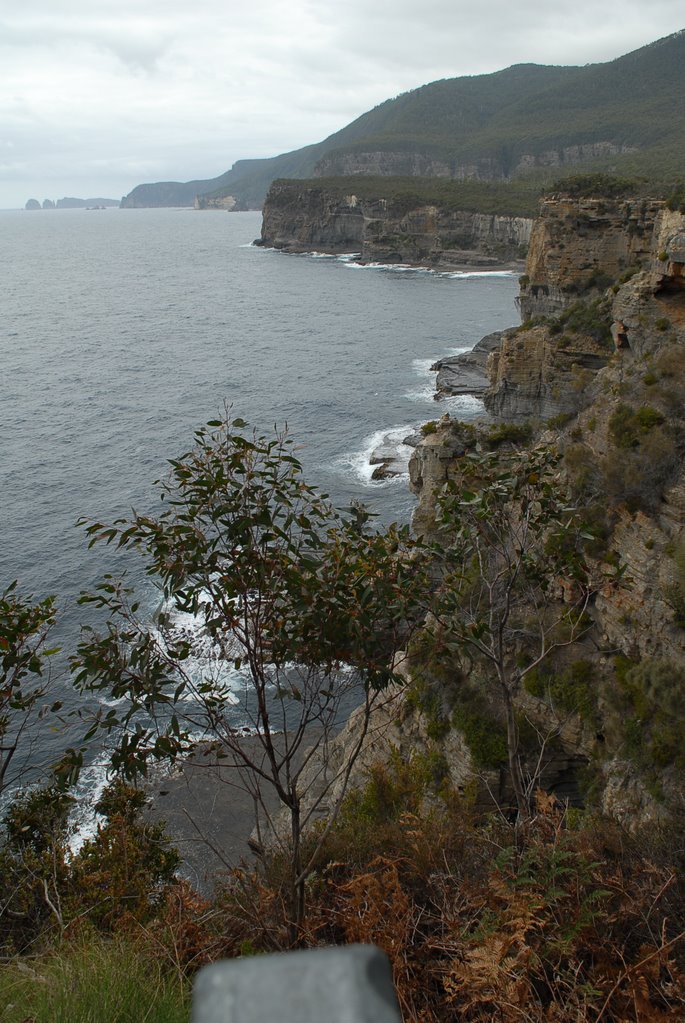
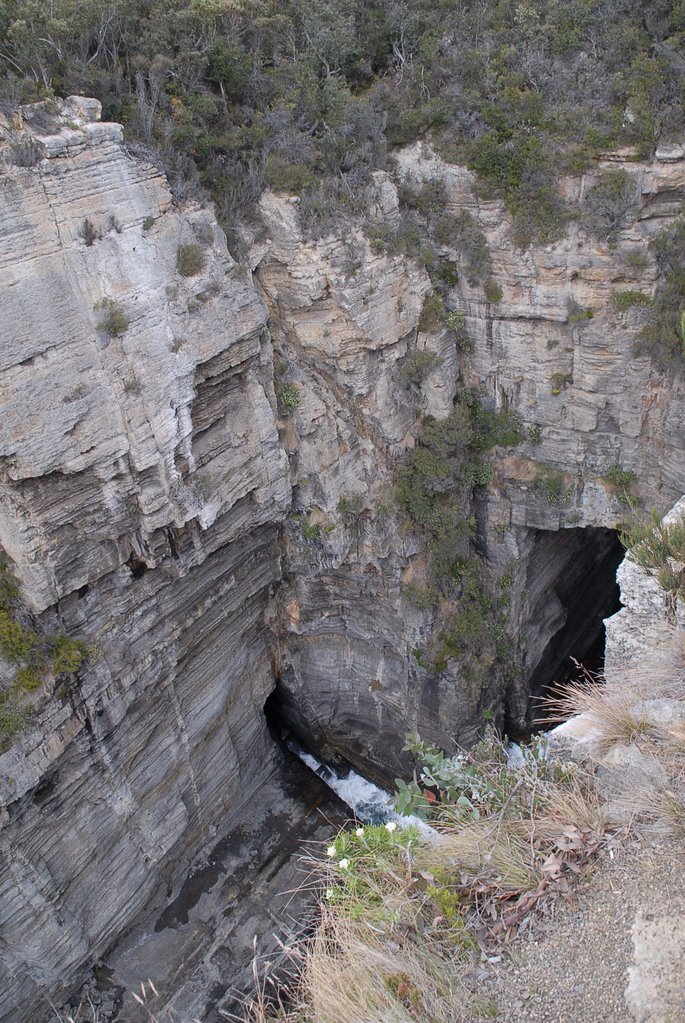
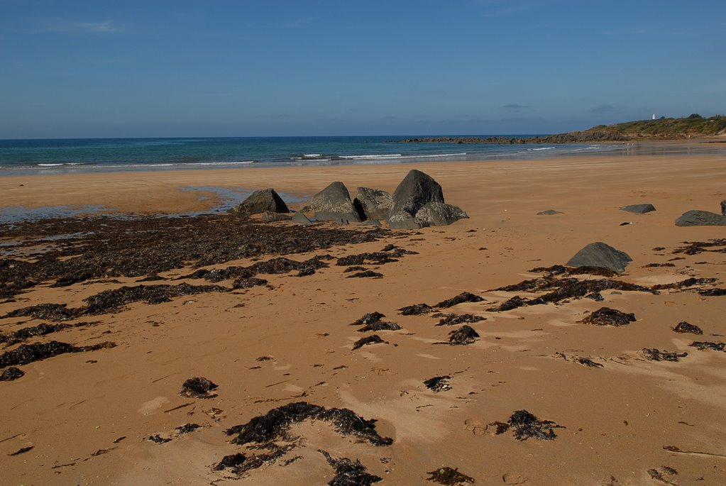
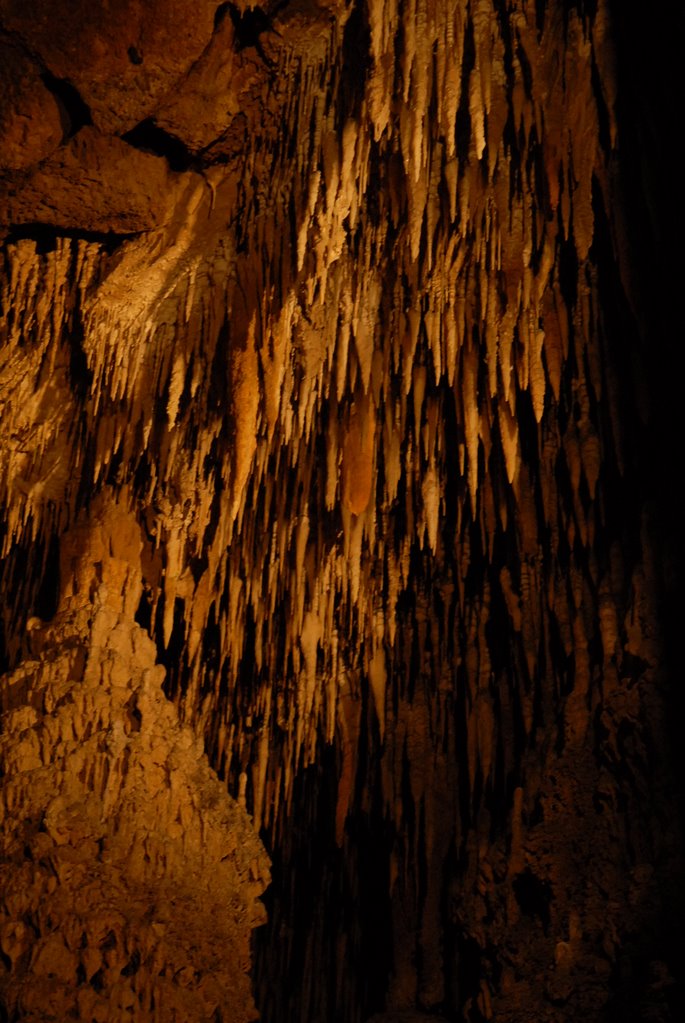
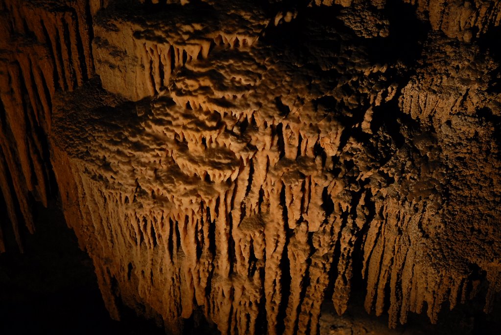
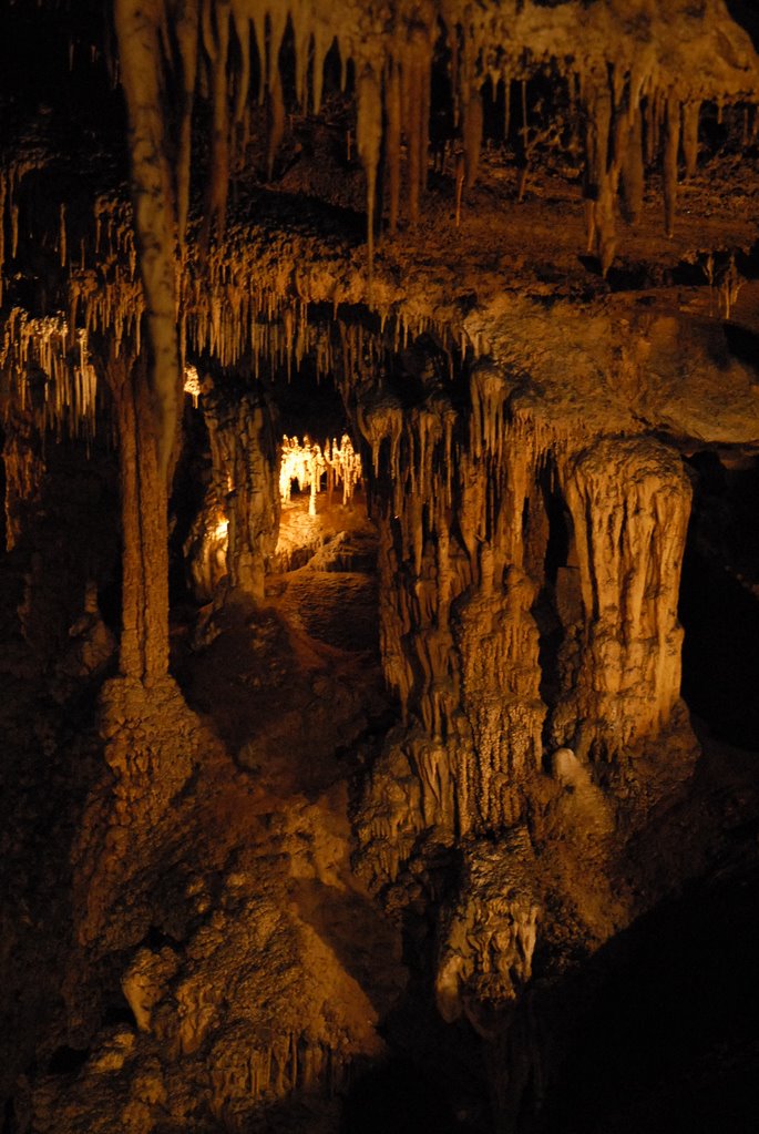
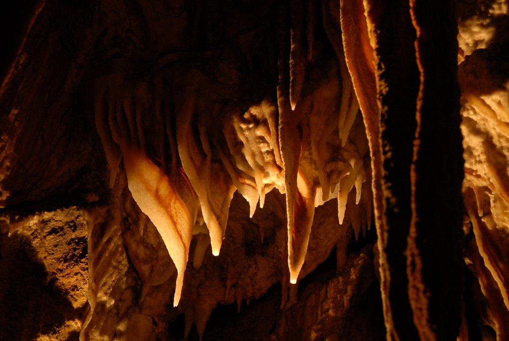
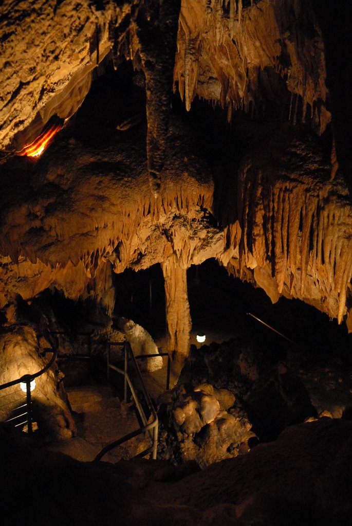
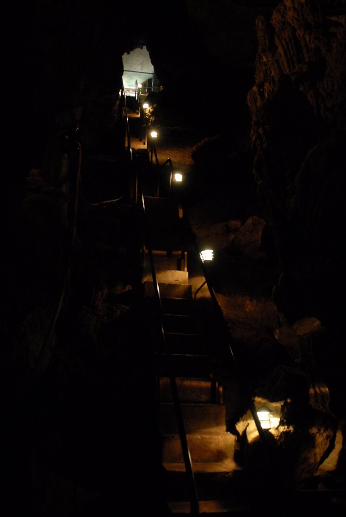
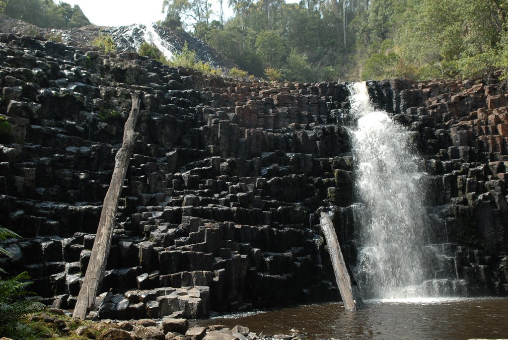
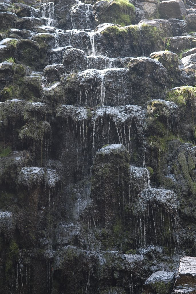
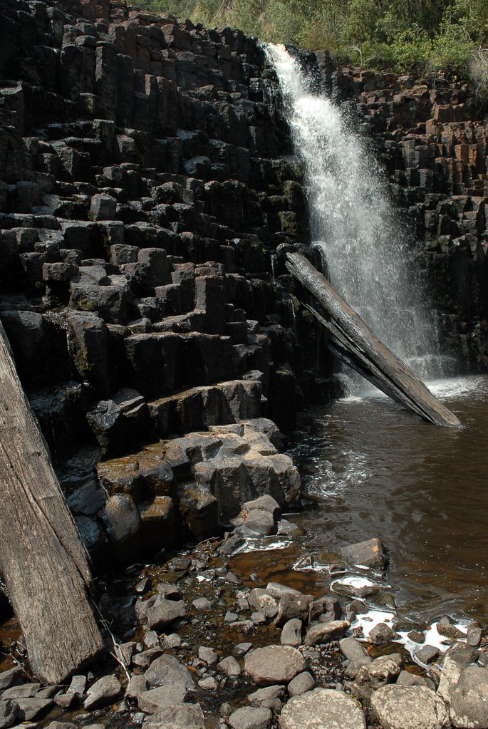
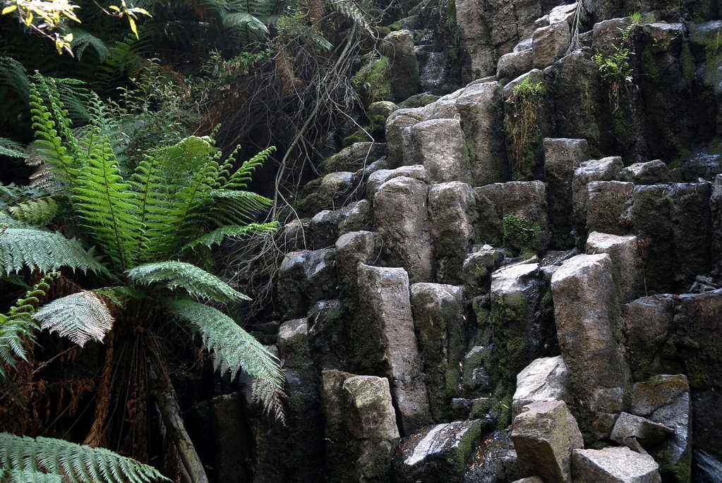
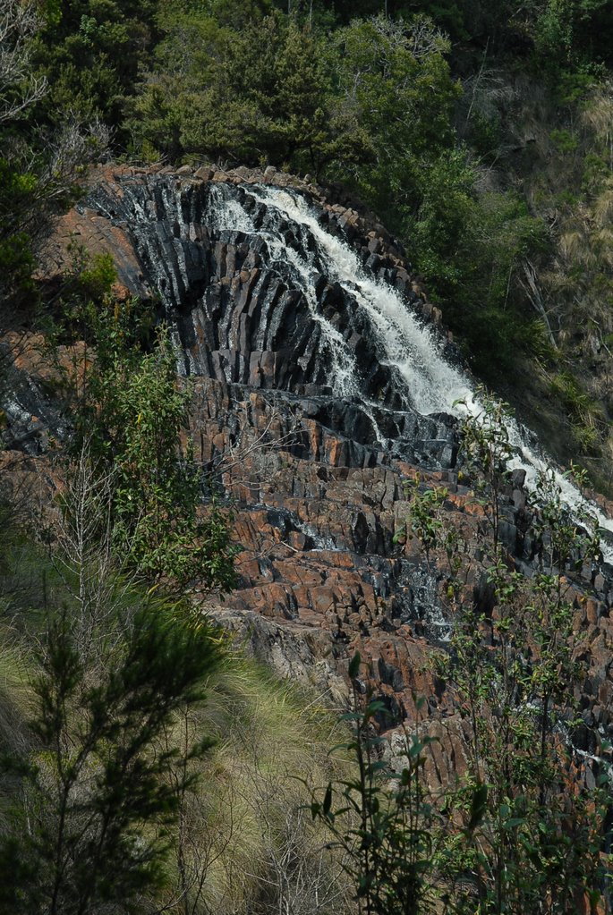
The main feature of this place is its geological features and the Tessellated Pavement was fascinating. Our next stop at Eaglehawk Neck was the Tasman Blowhole which wasn’t blowing but still worth seeing and then on to the Tasman Arch and Devils Kitchen. The cliffs were very high and it was lovely. You can see the progression from cave, to blowhole to arch.
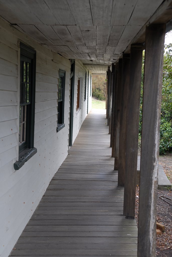
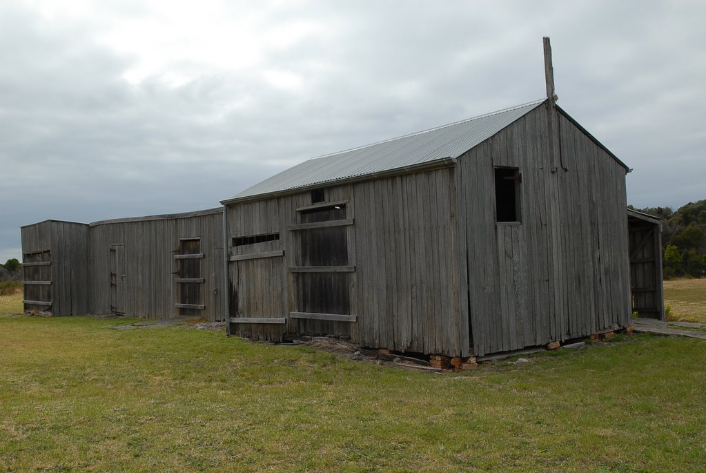
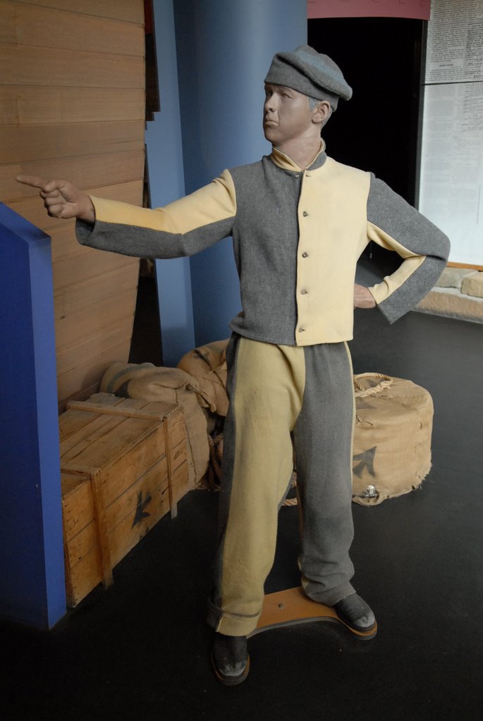
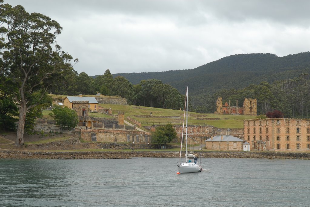
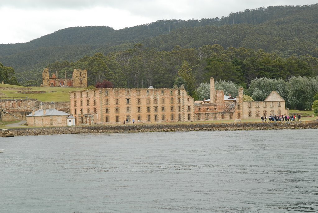
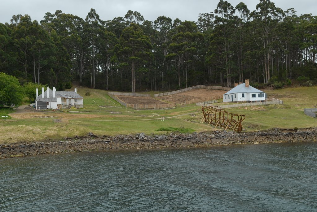
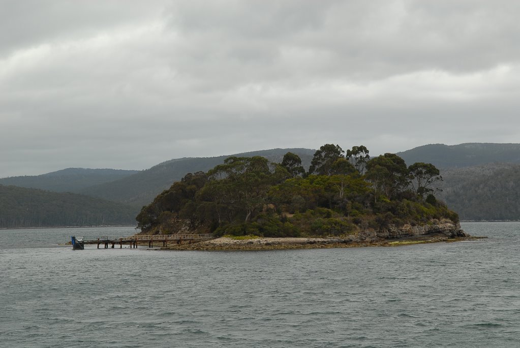
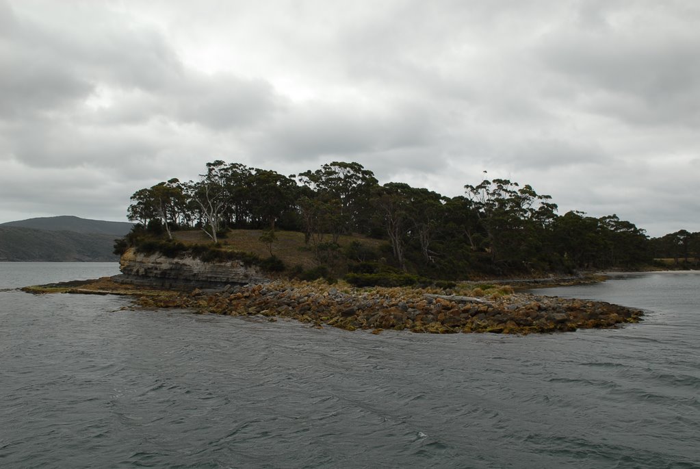
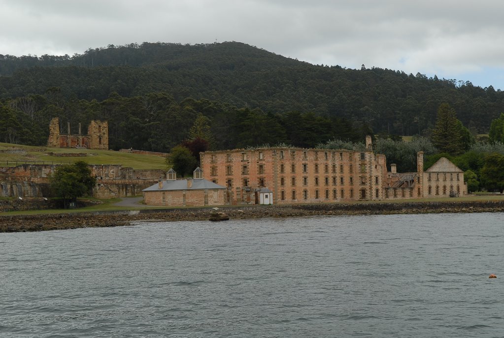
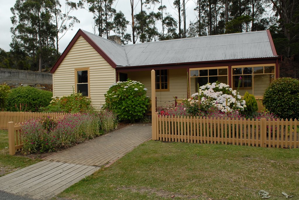
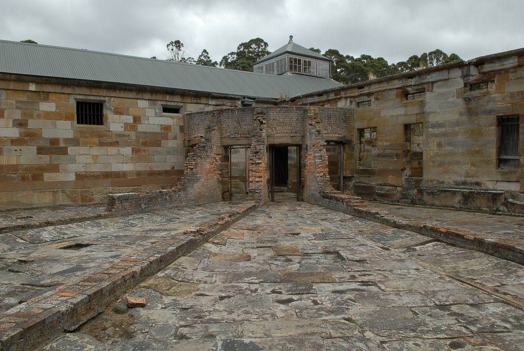
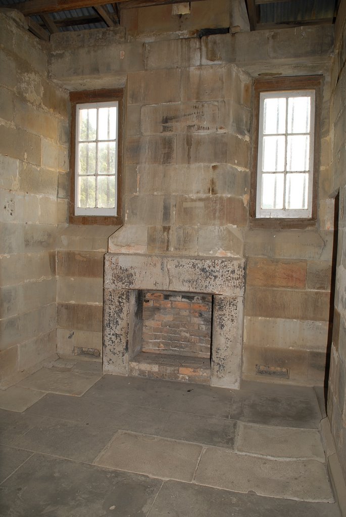
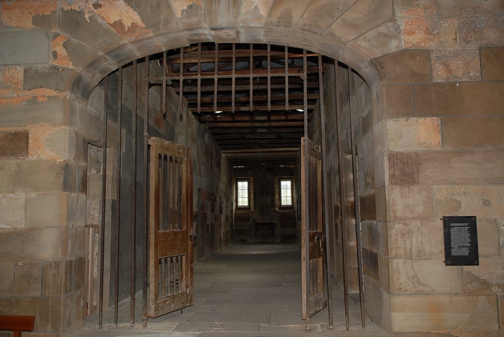
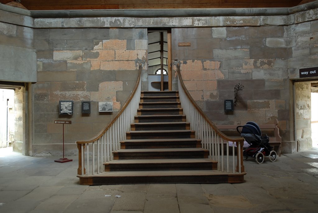
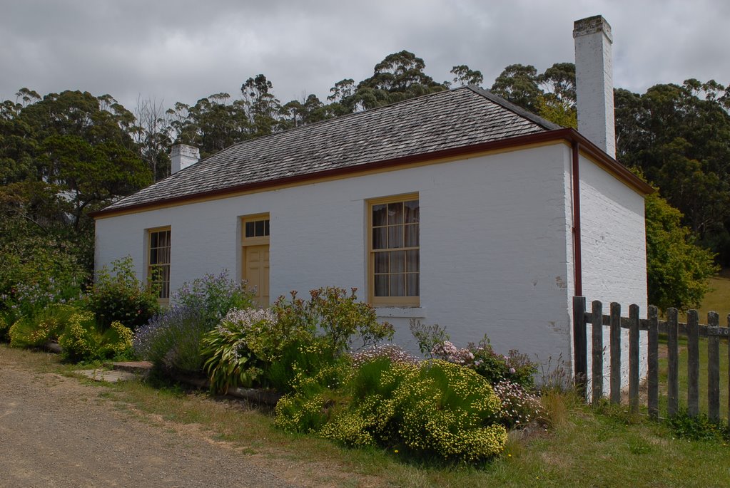
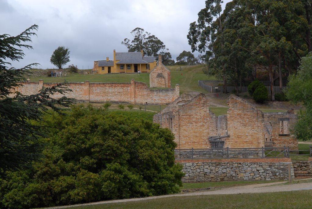
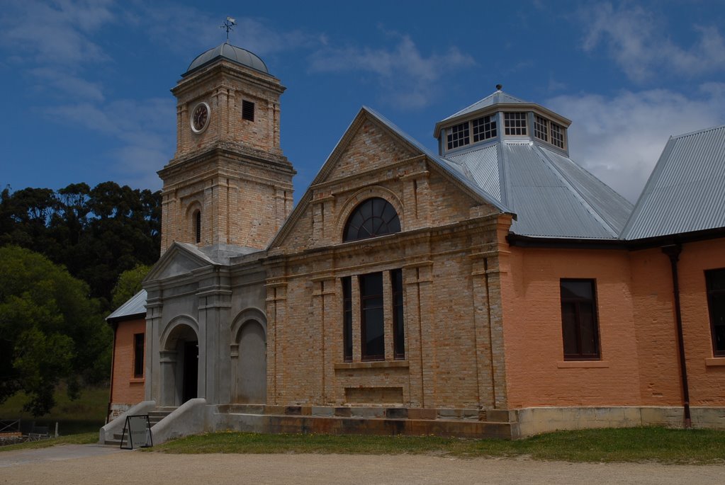
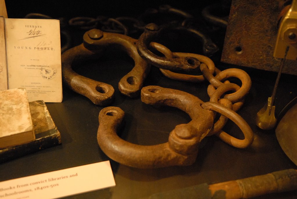
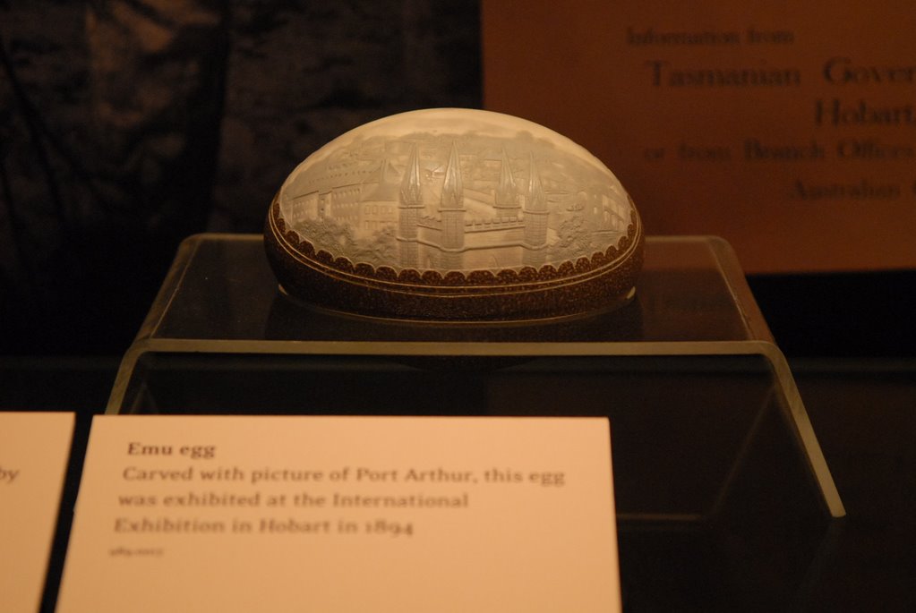
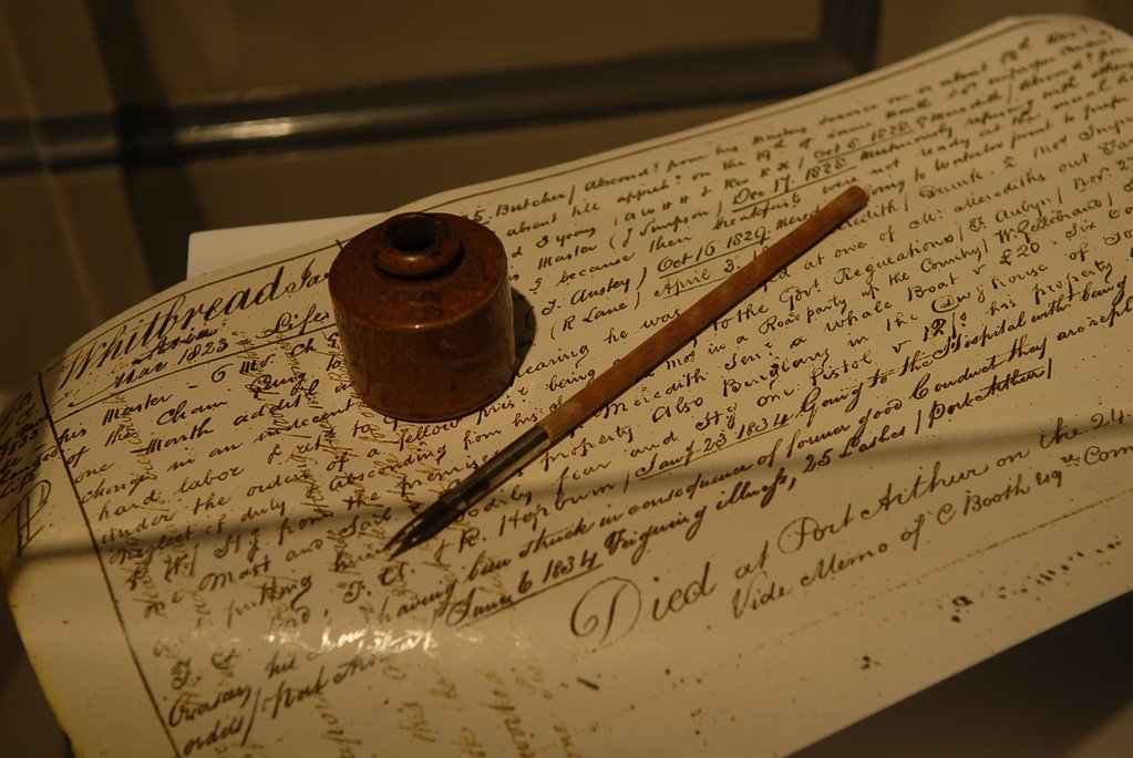
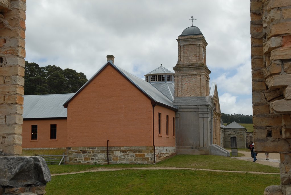
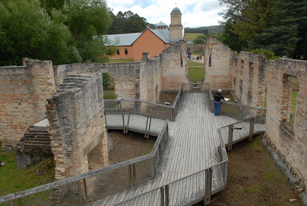
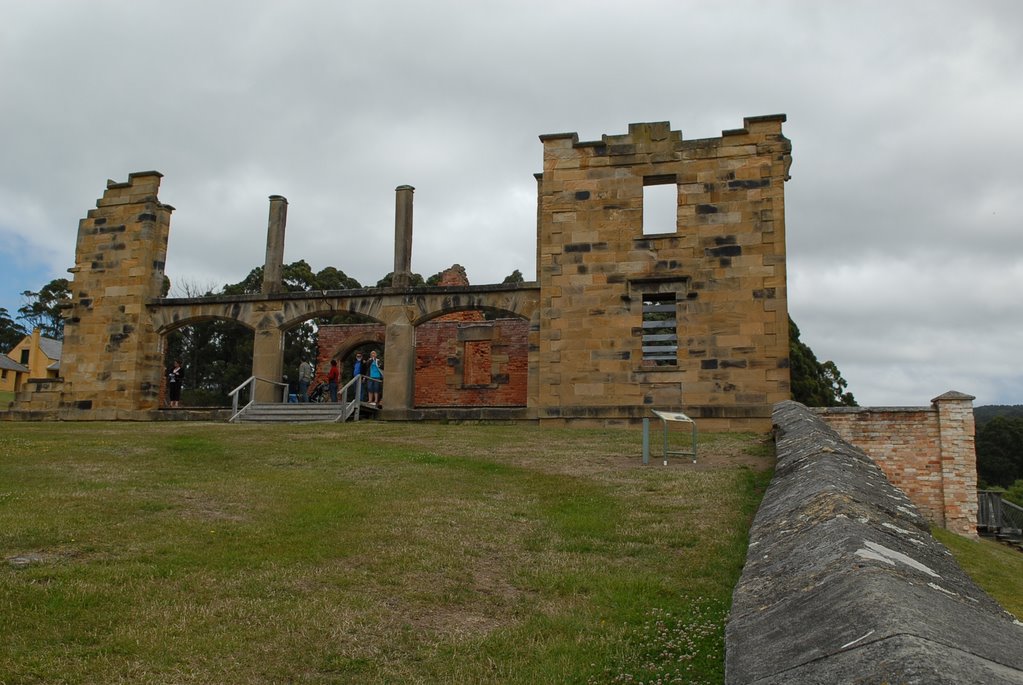
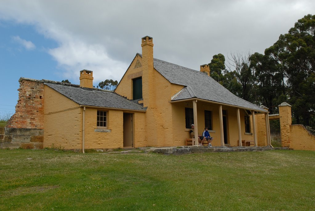
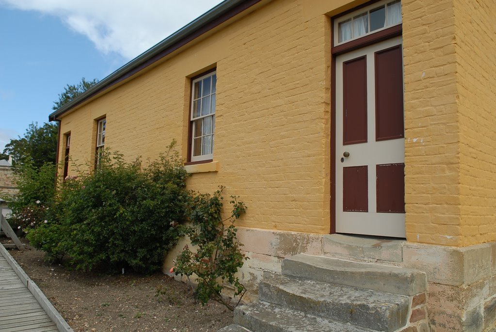
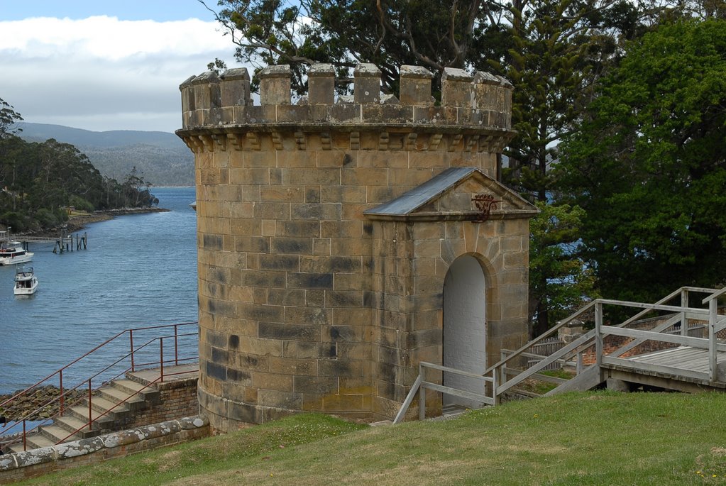
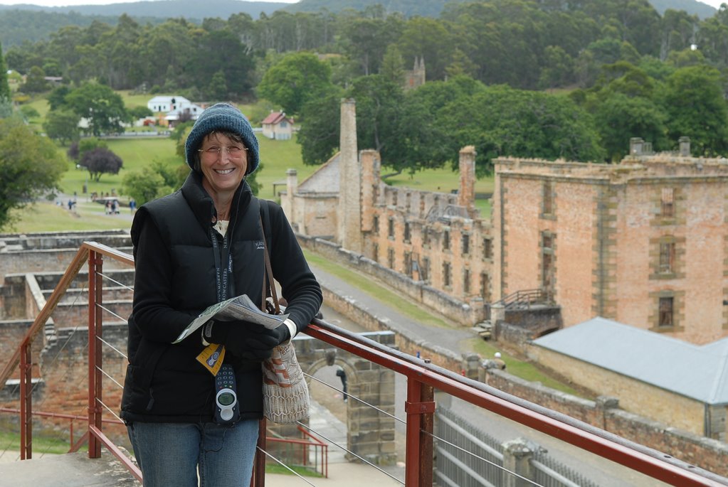
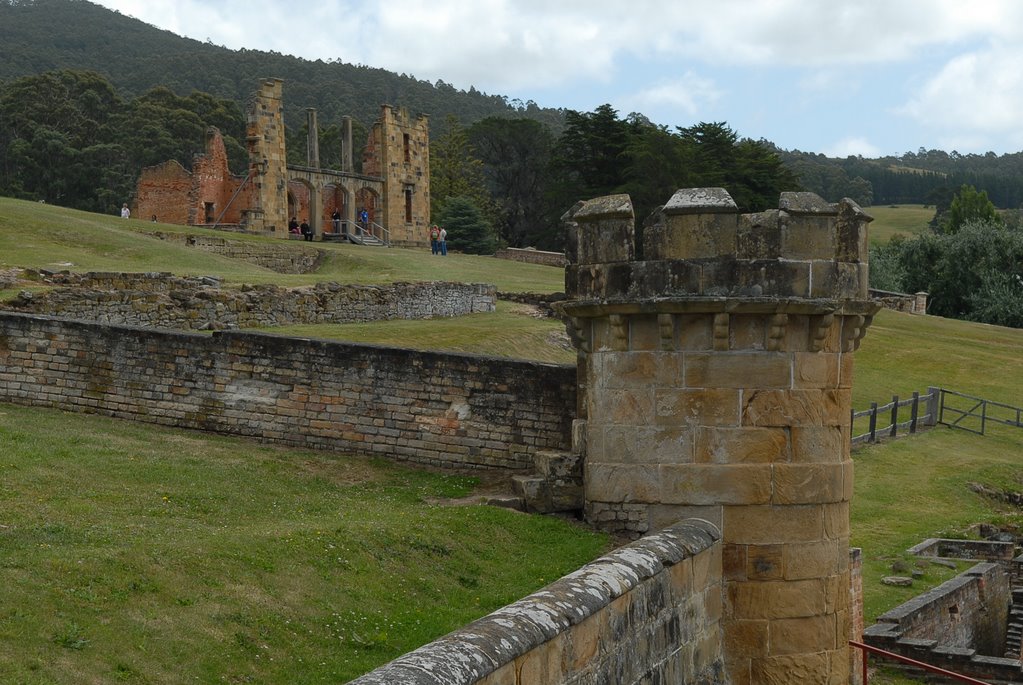
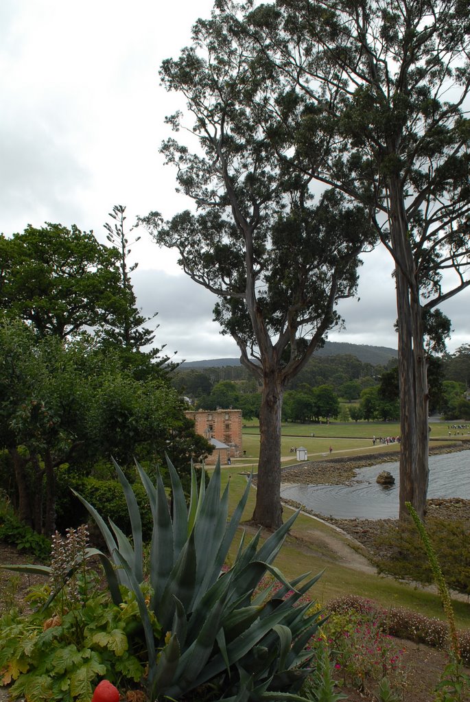
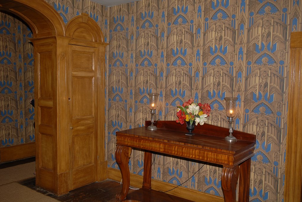
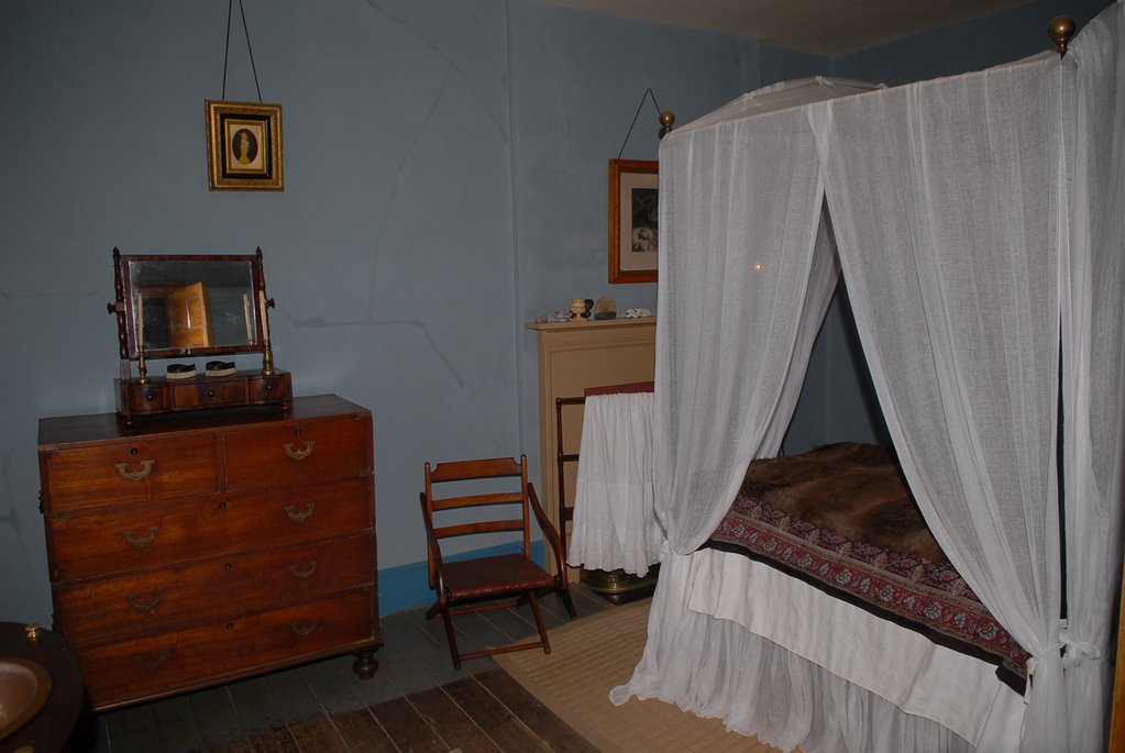
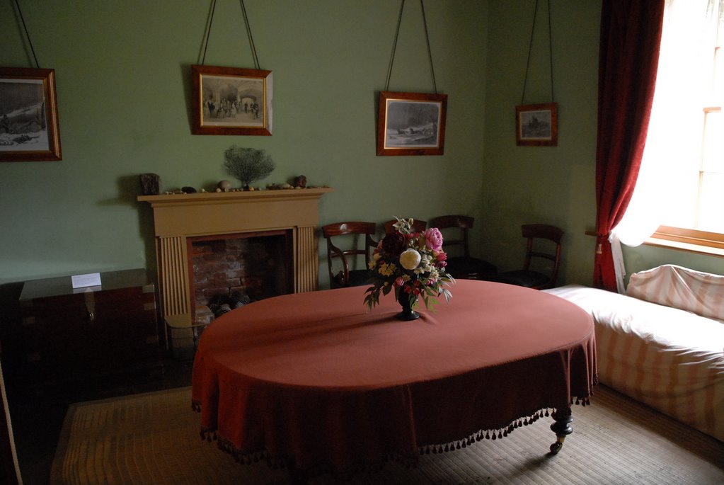
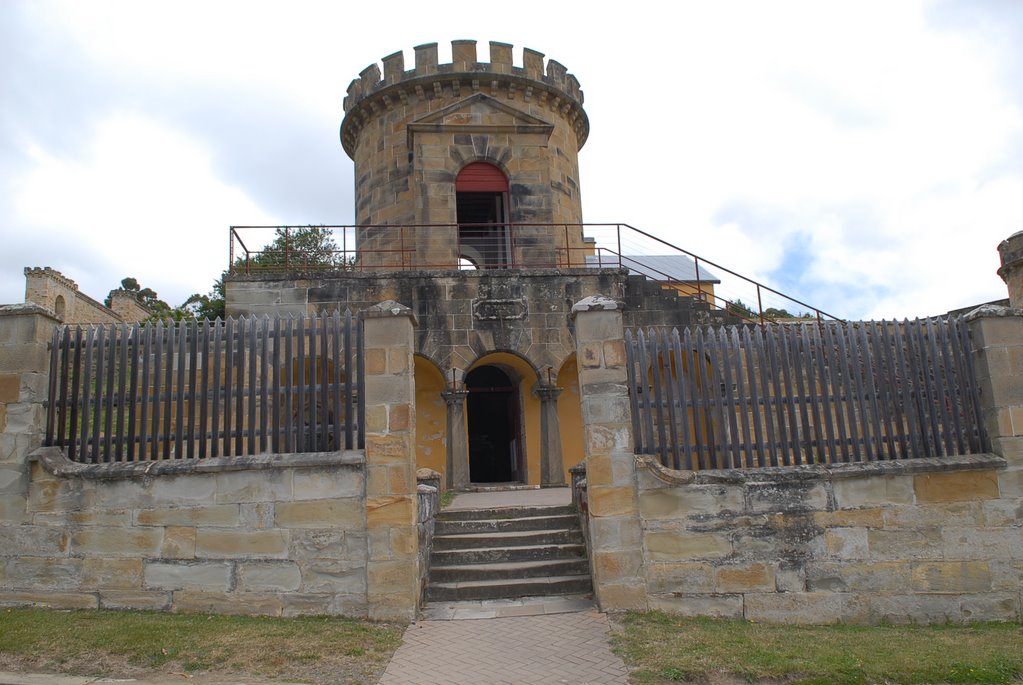
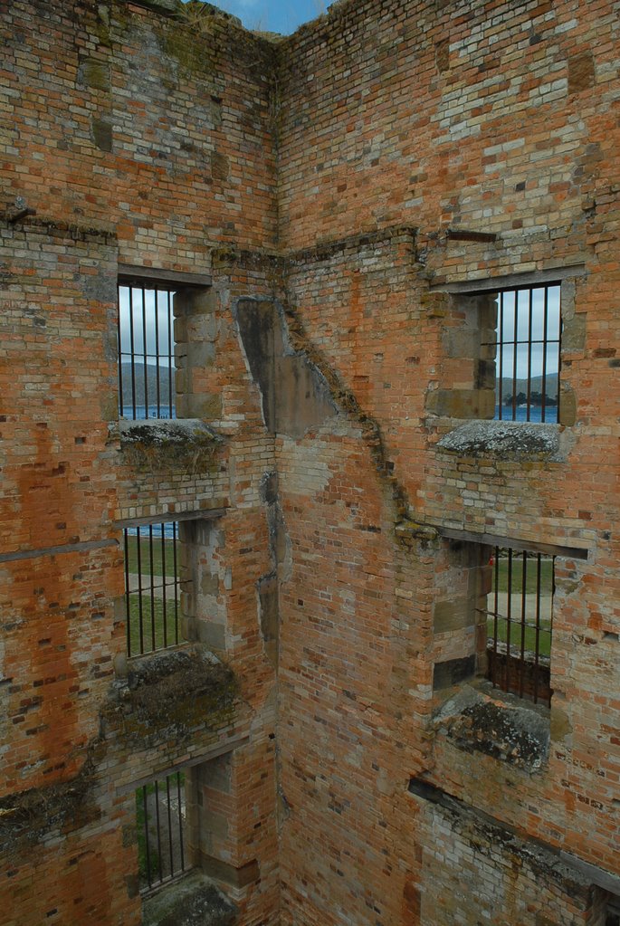
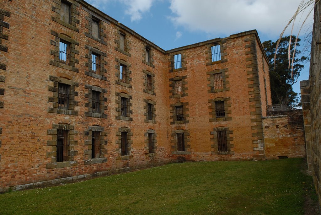
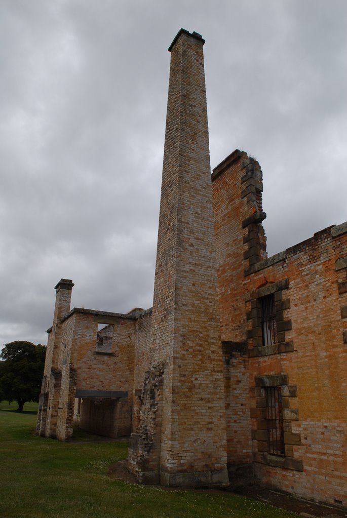
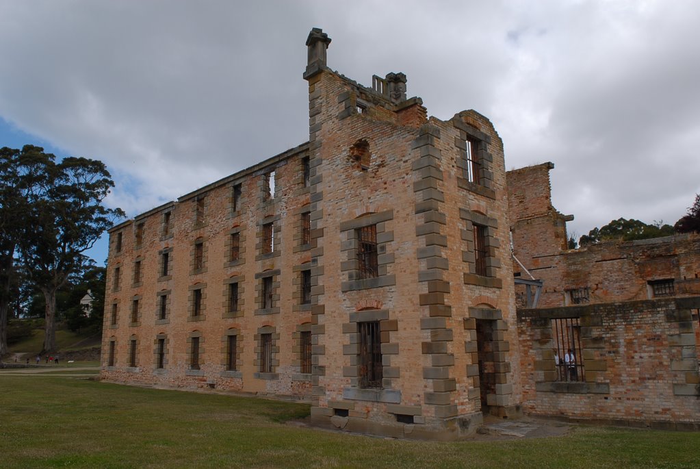
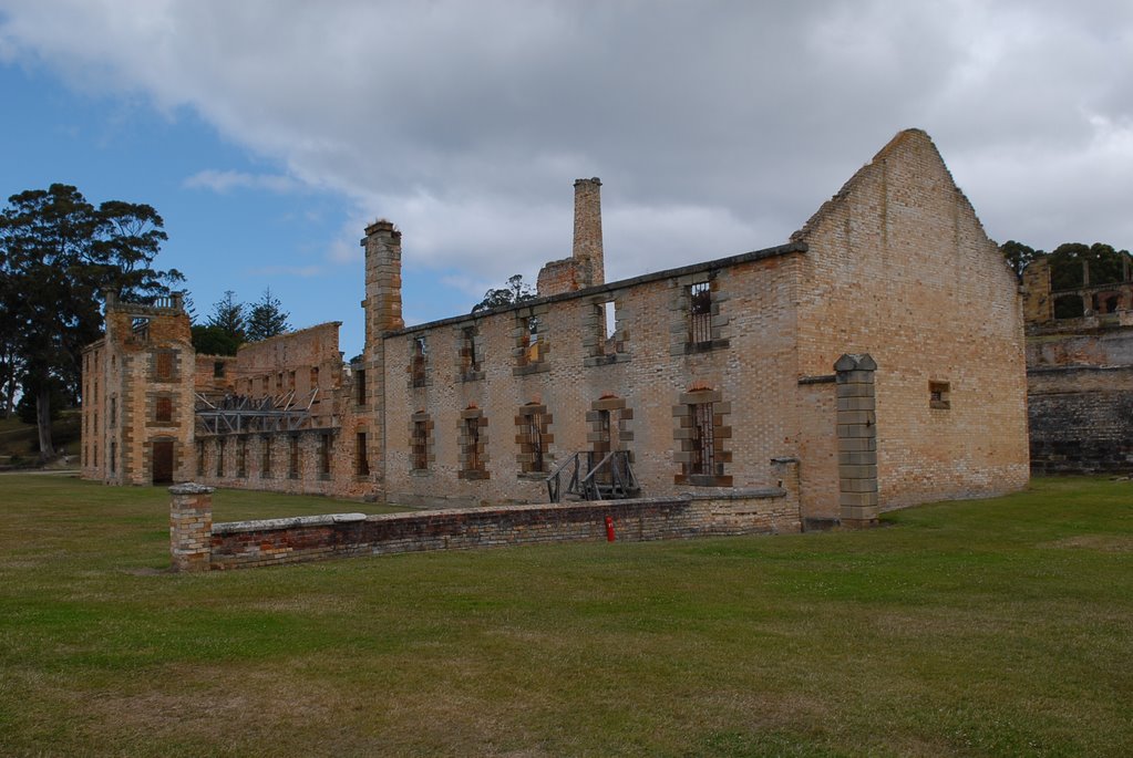
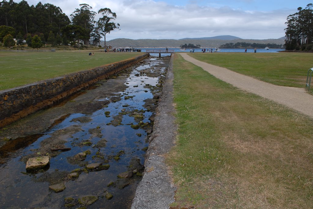
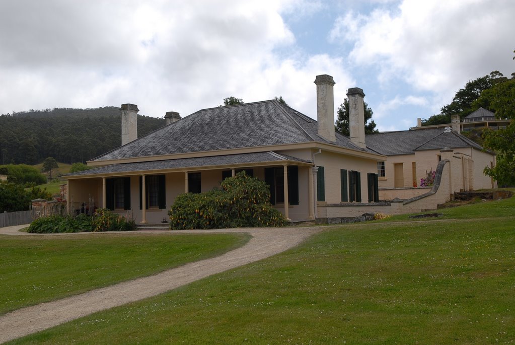
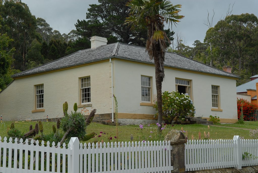
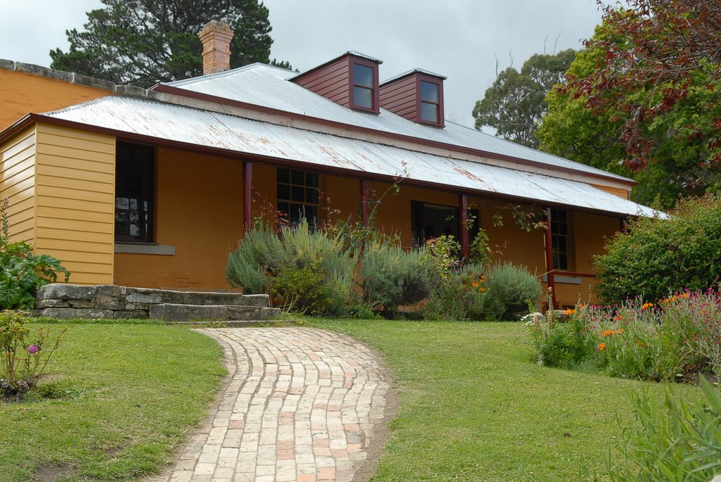
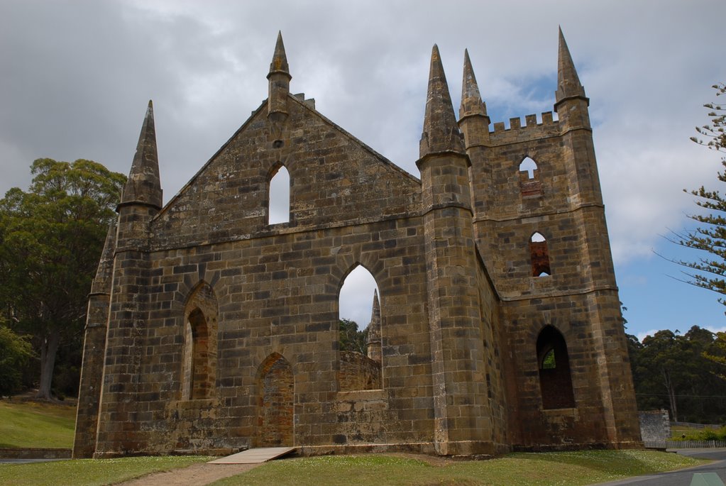
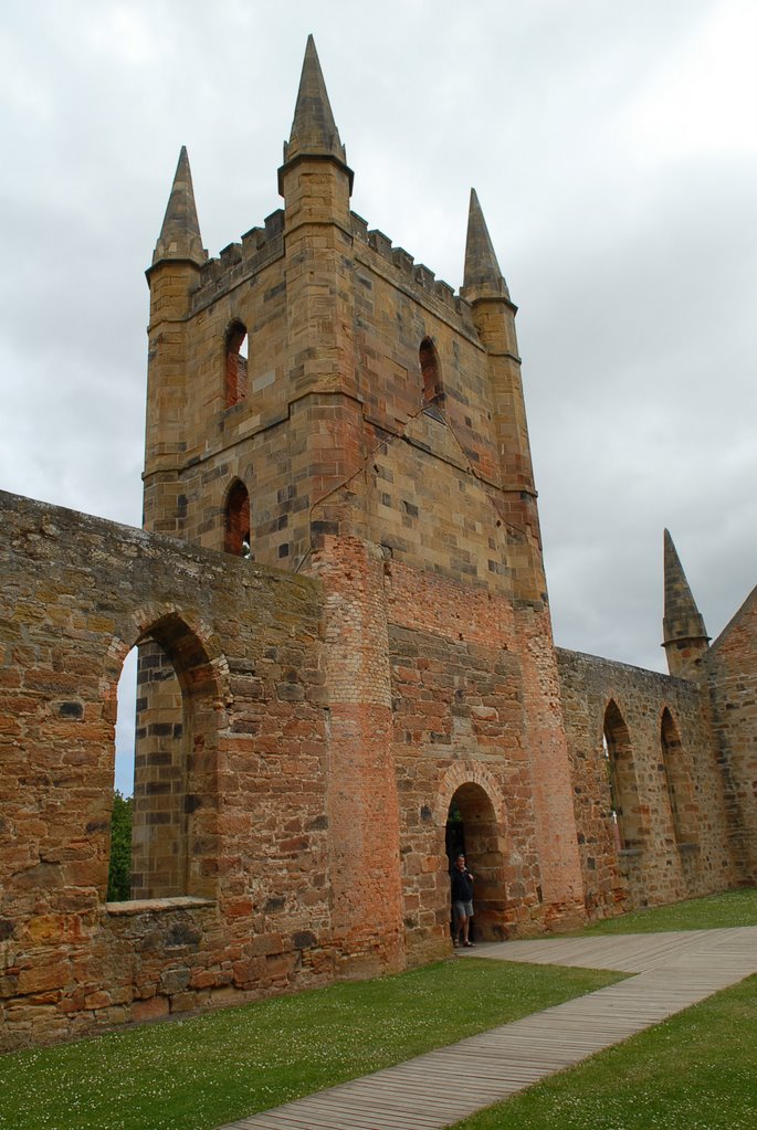
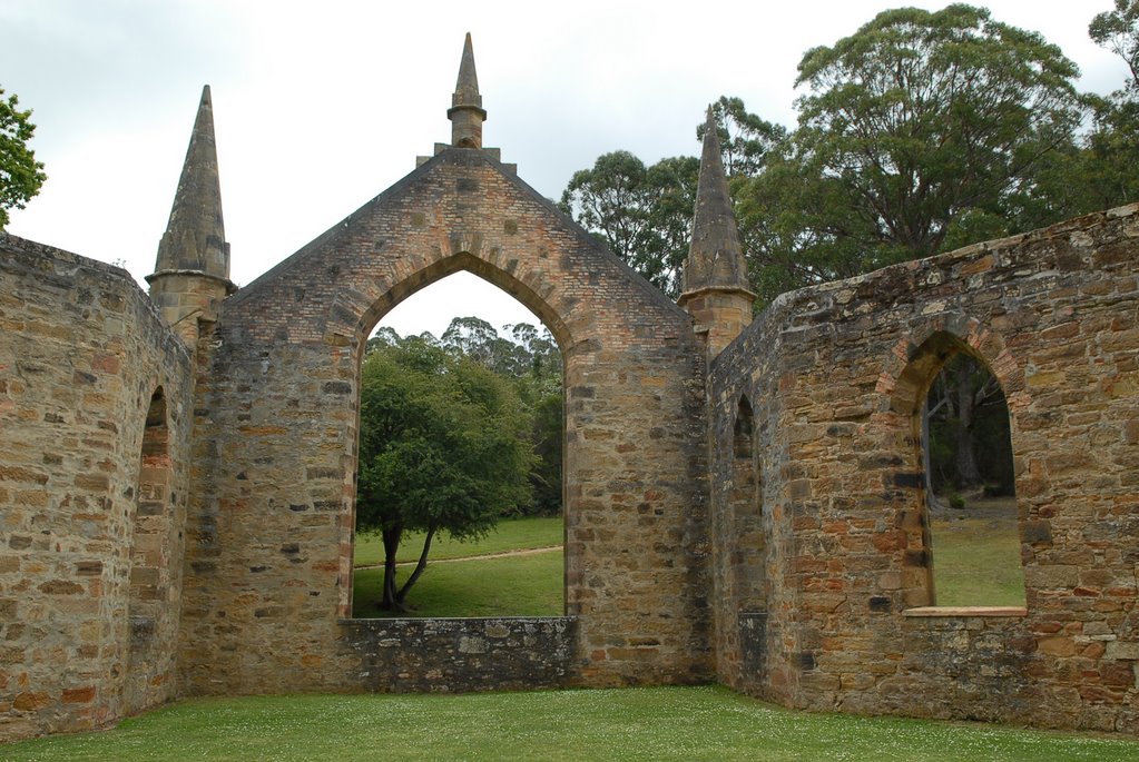
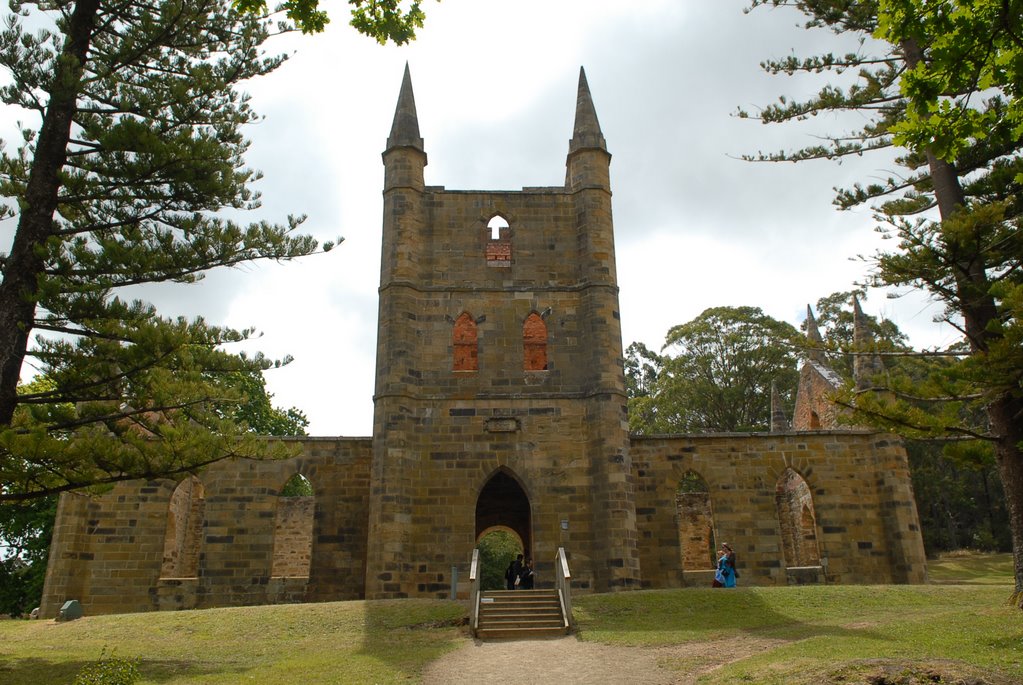
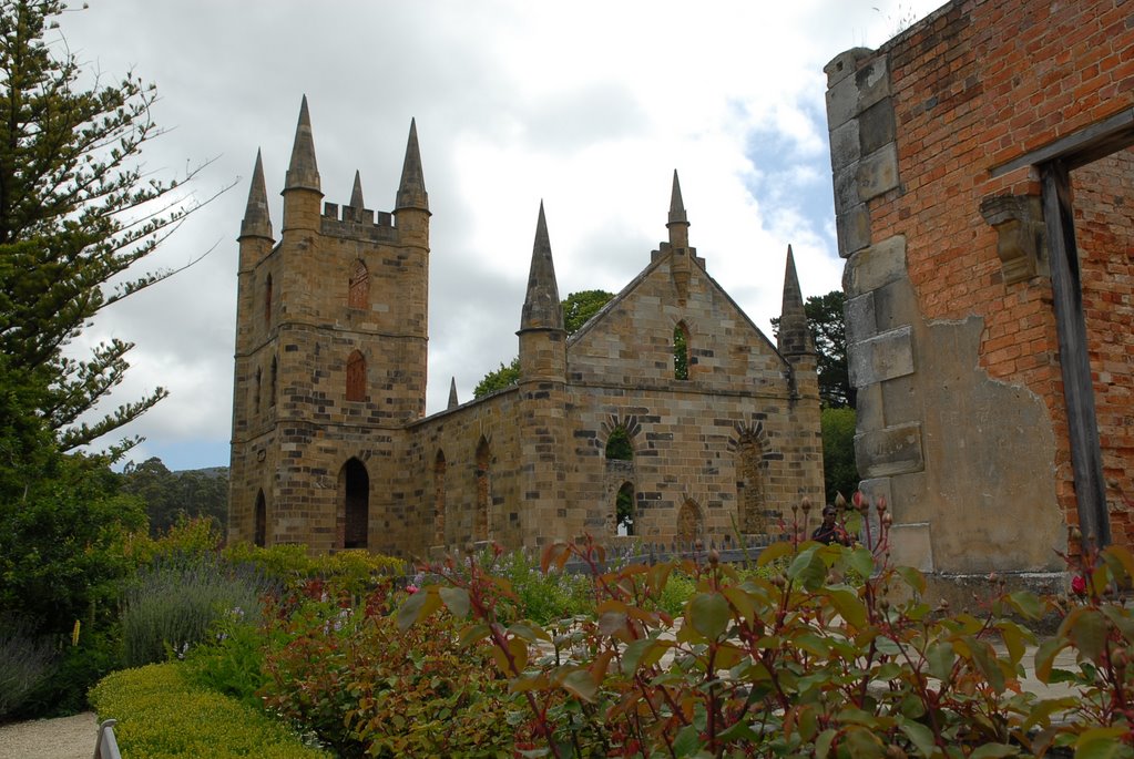
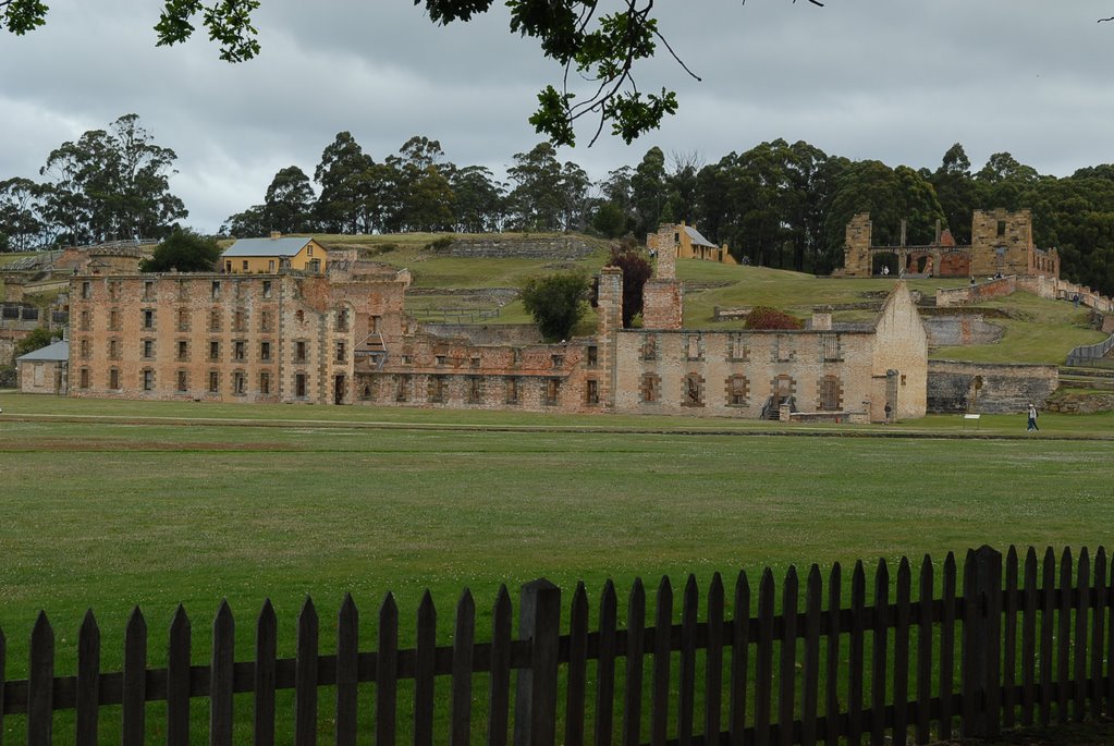
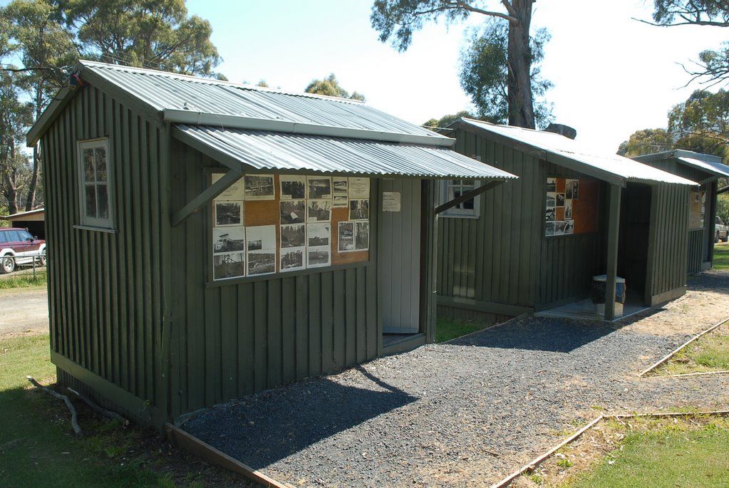
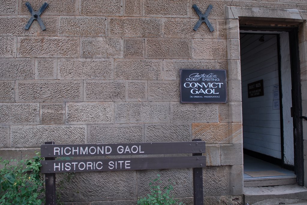
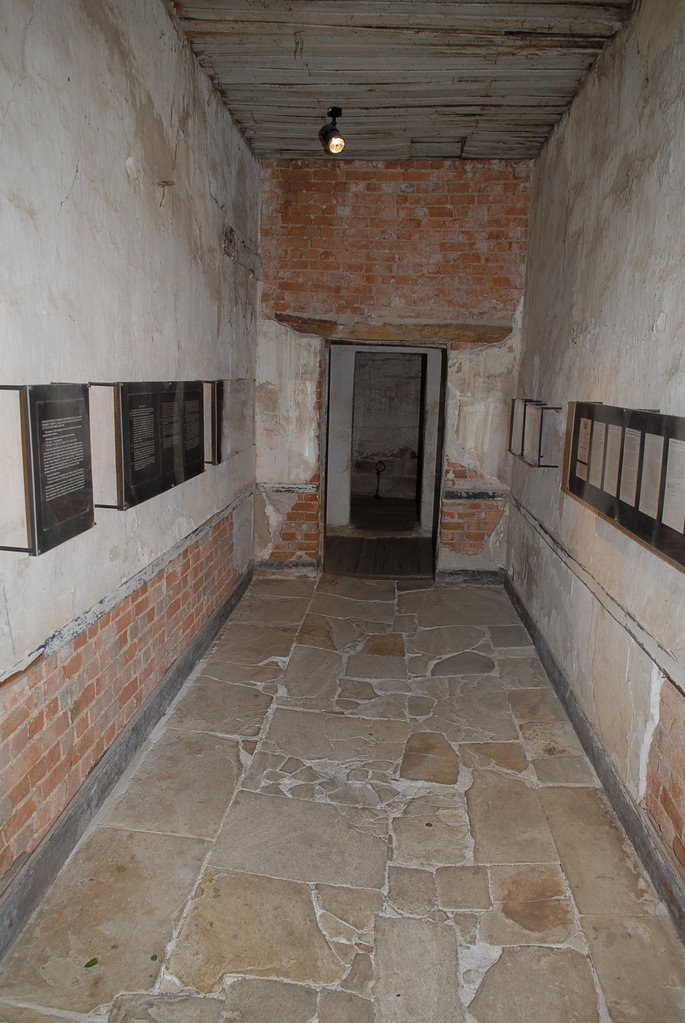
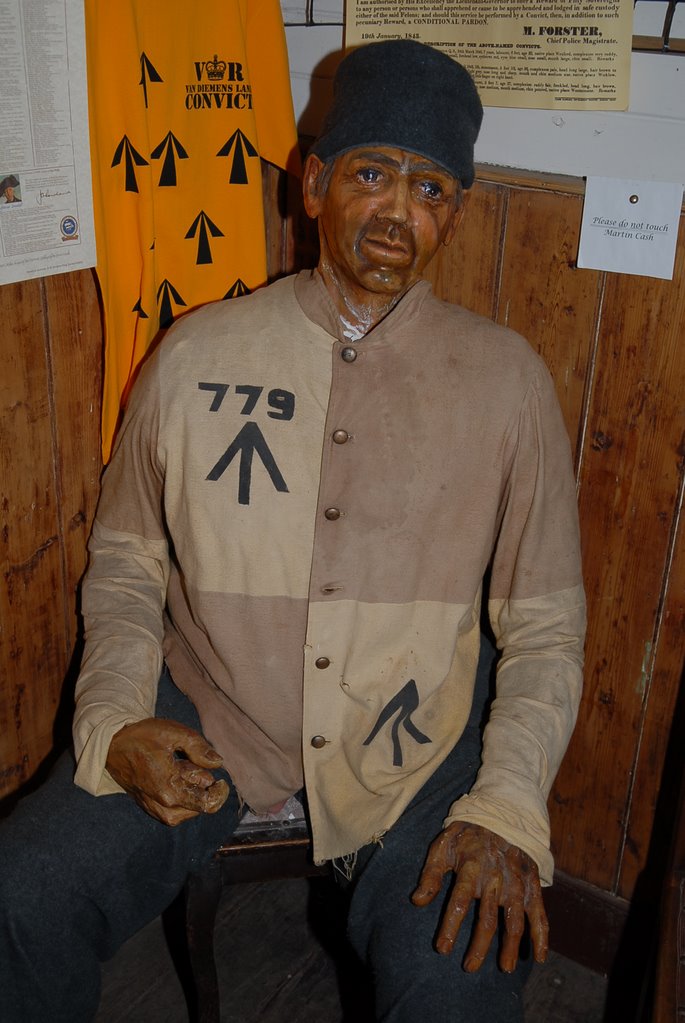
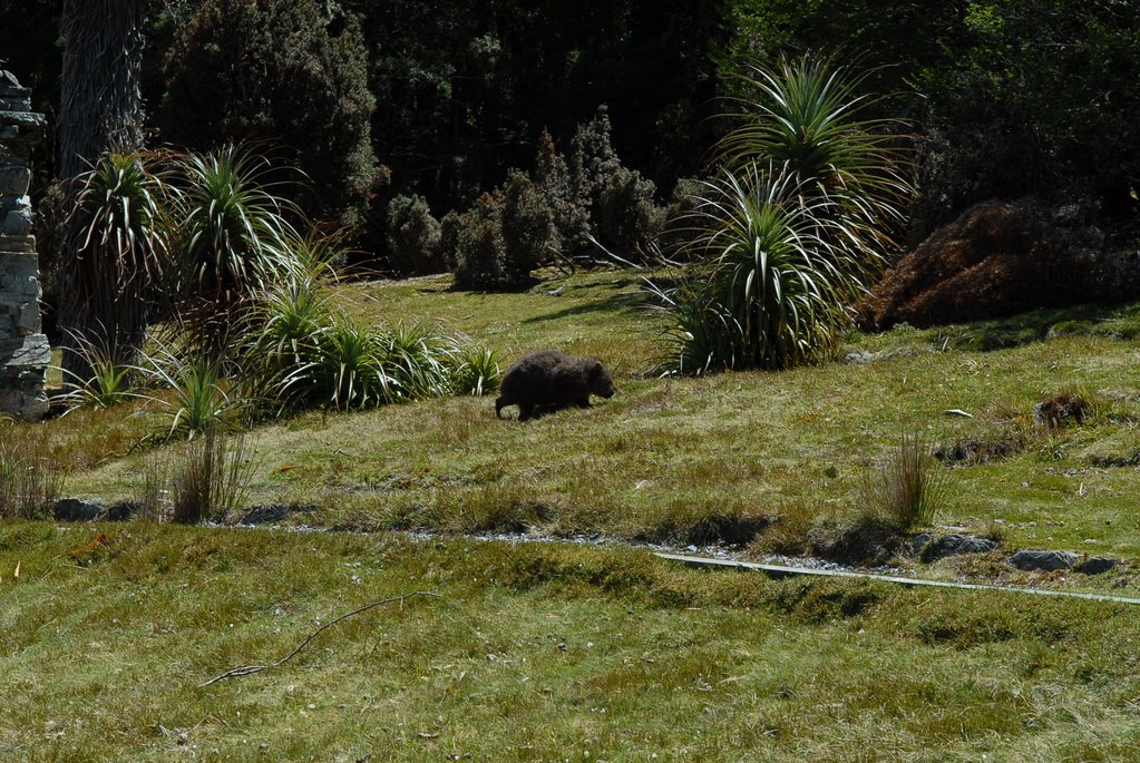
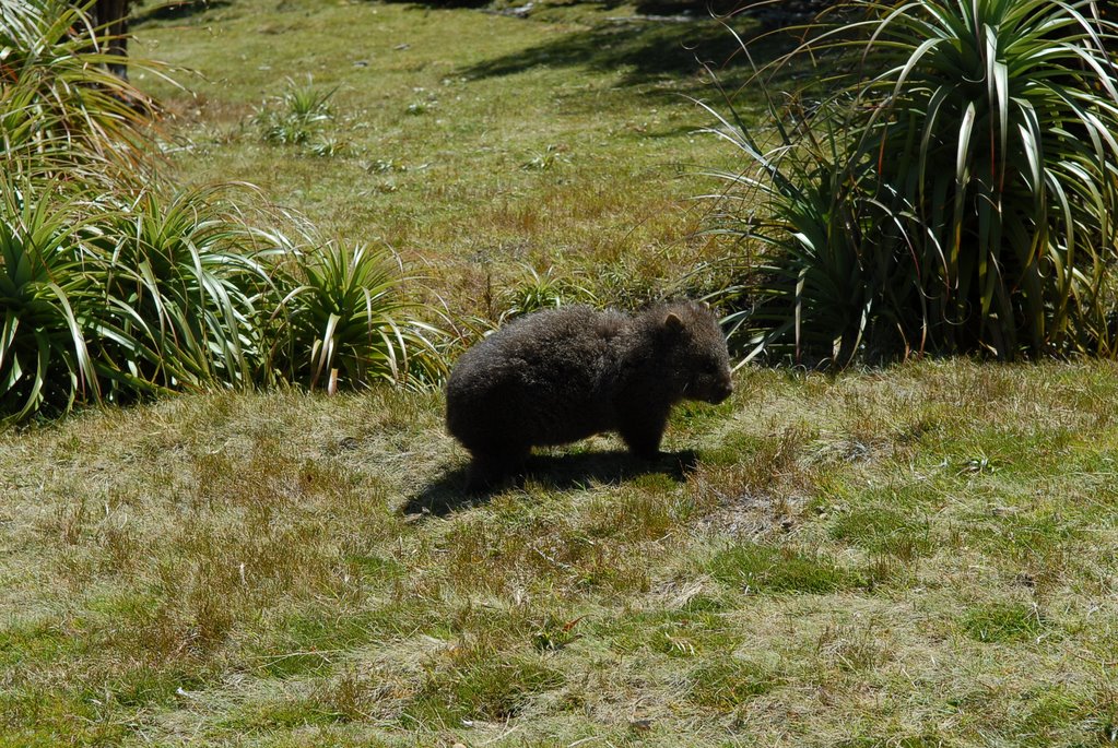
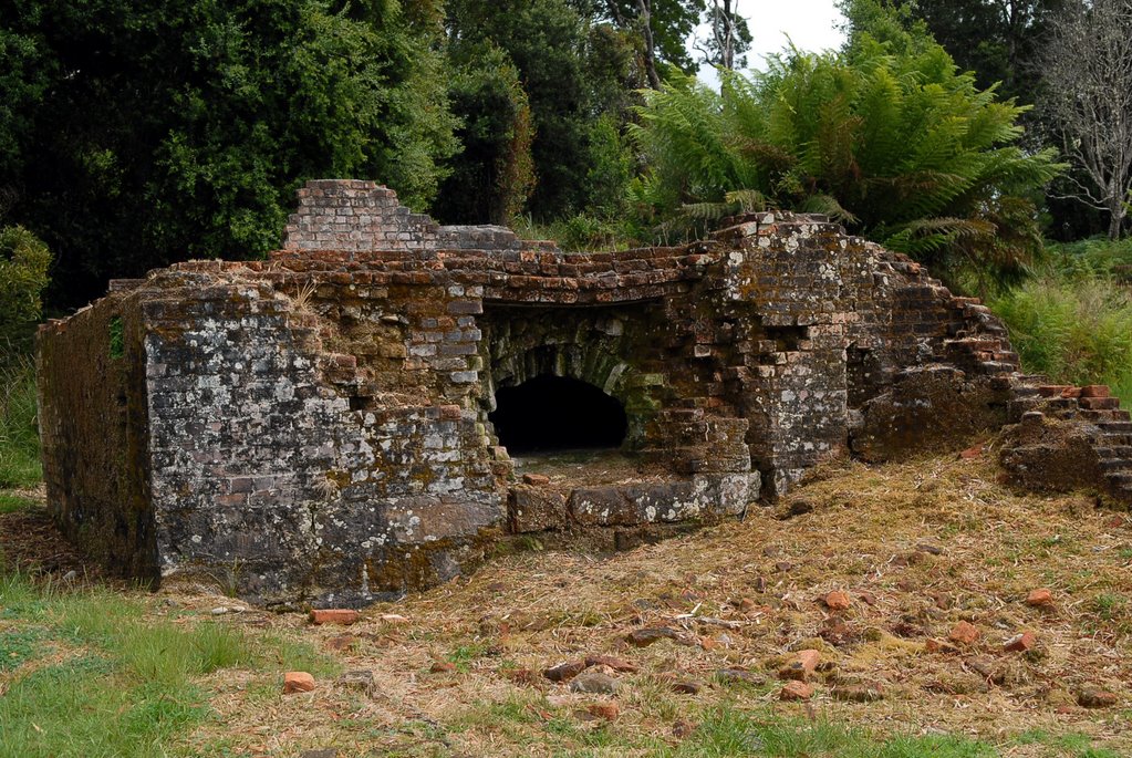
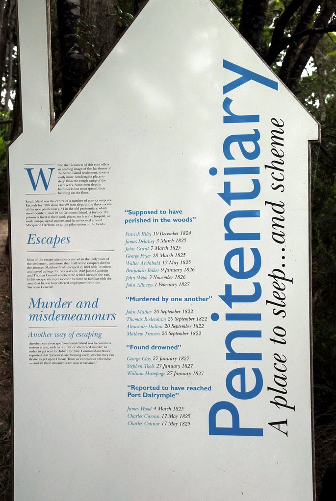
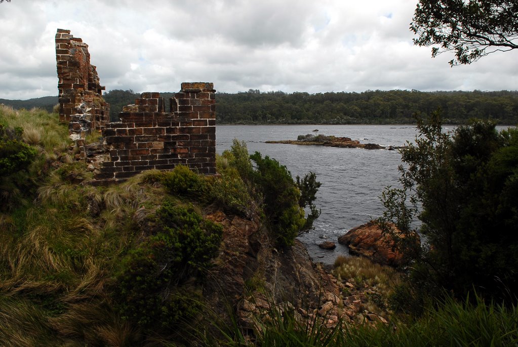
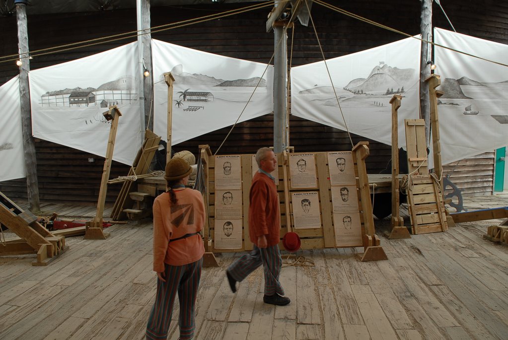
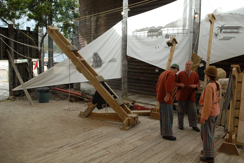
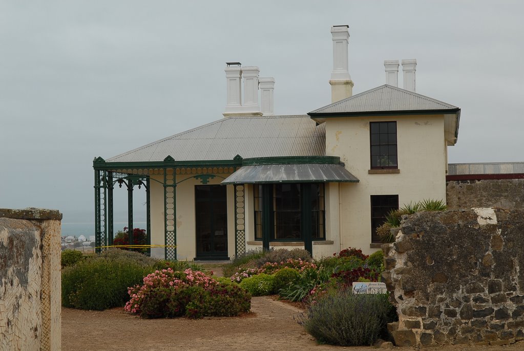
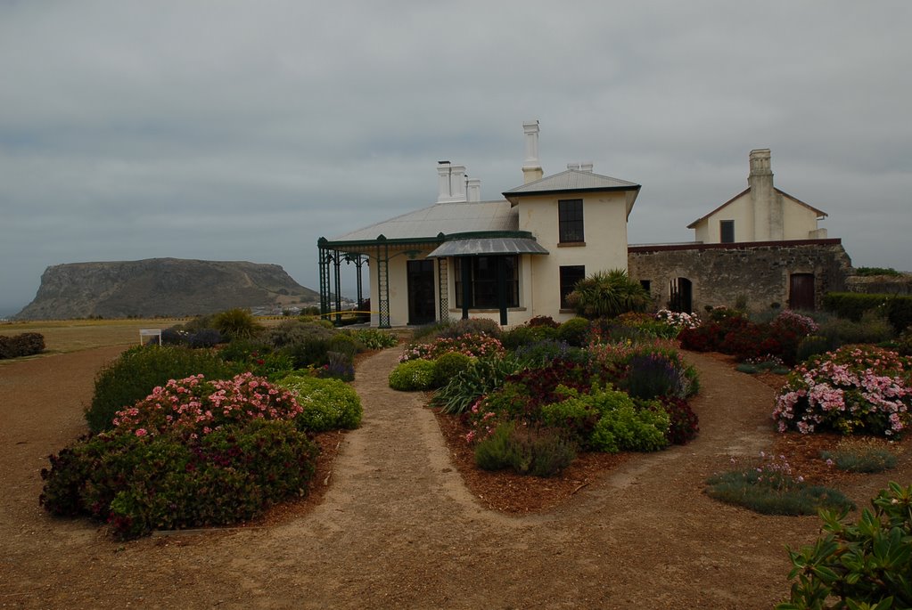
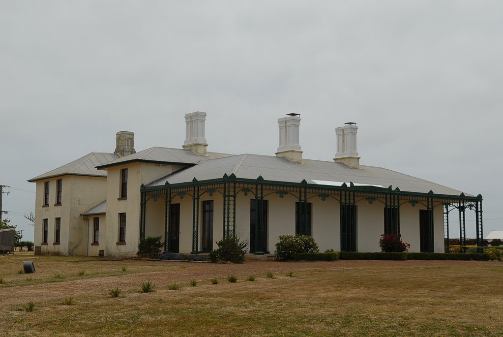
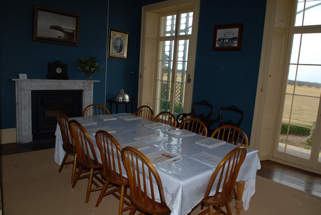
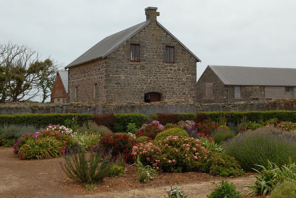
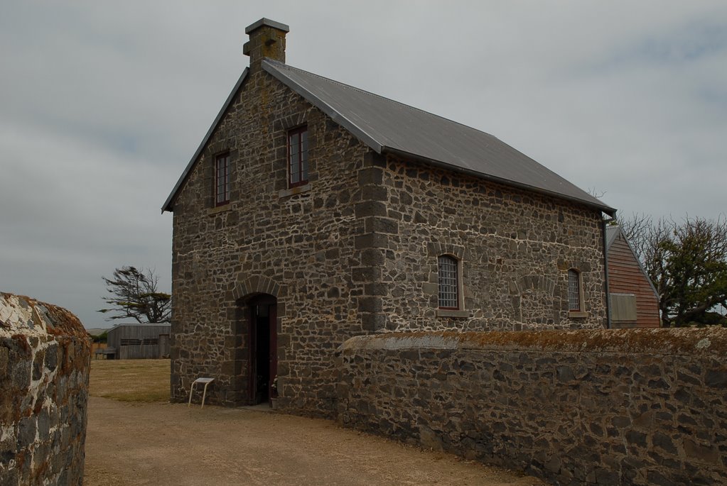
Port Arthur looks spectacular and a boat tour took us around Mason Cove, around the Isle of the Dead which is where the dead from Port Arthur were buried, and past Point Puer which is where the young boy offenders were kept separate from the male offenders. The history of Port Arthur is quite amazing. The convicts who were originally sent here were 2nd offenders, those who had offended once they were already in NSW.
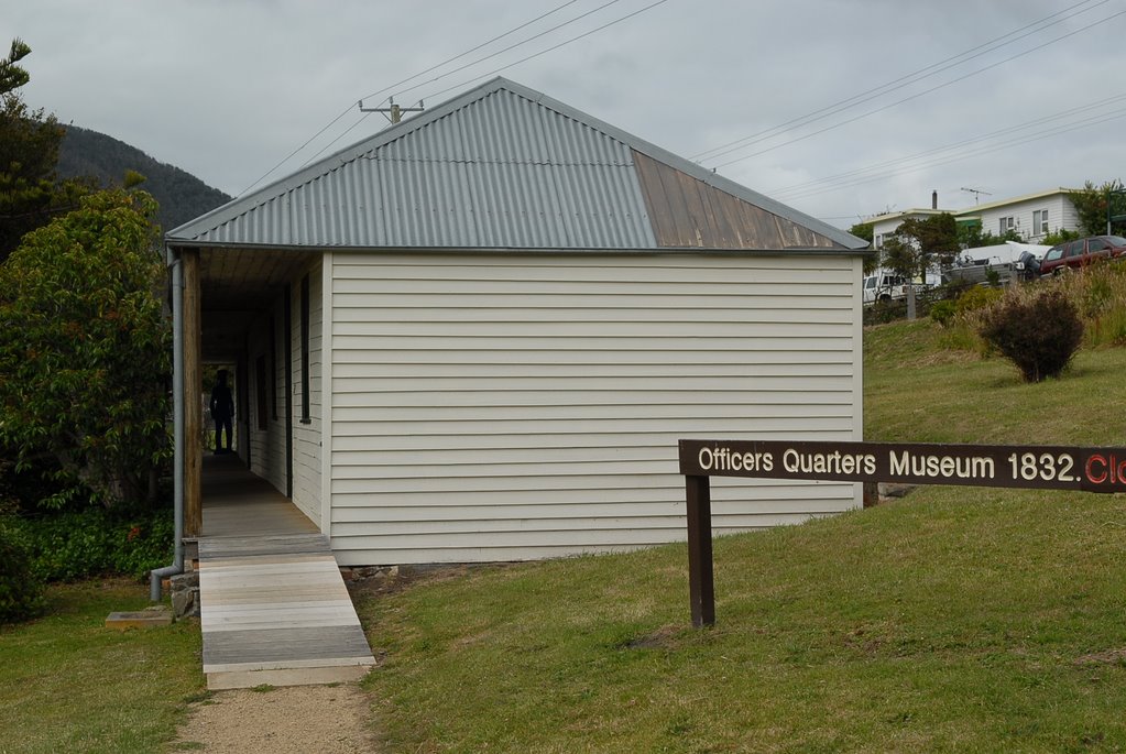
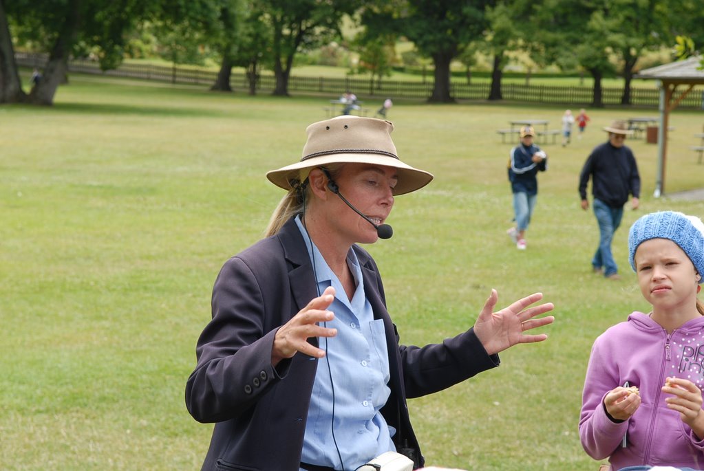
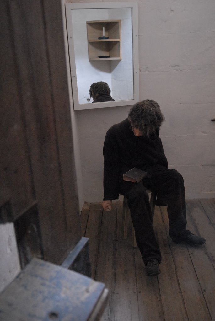
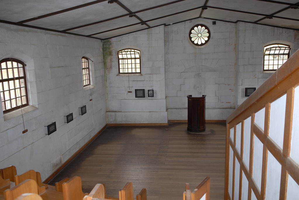
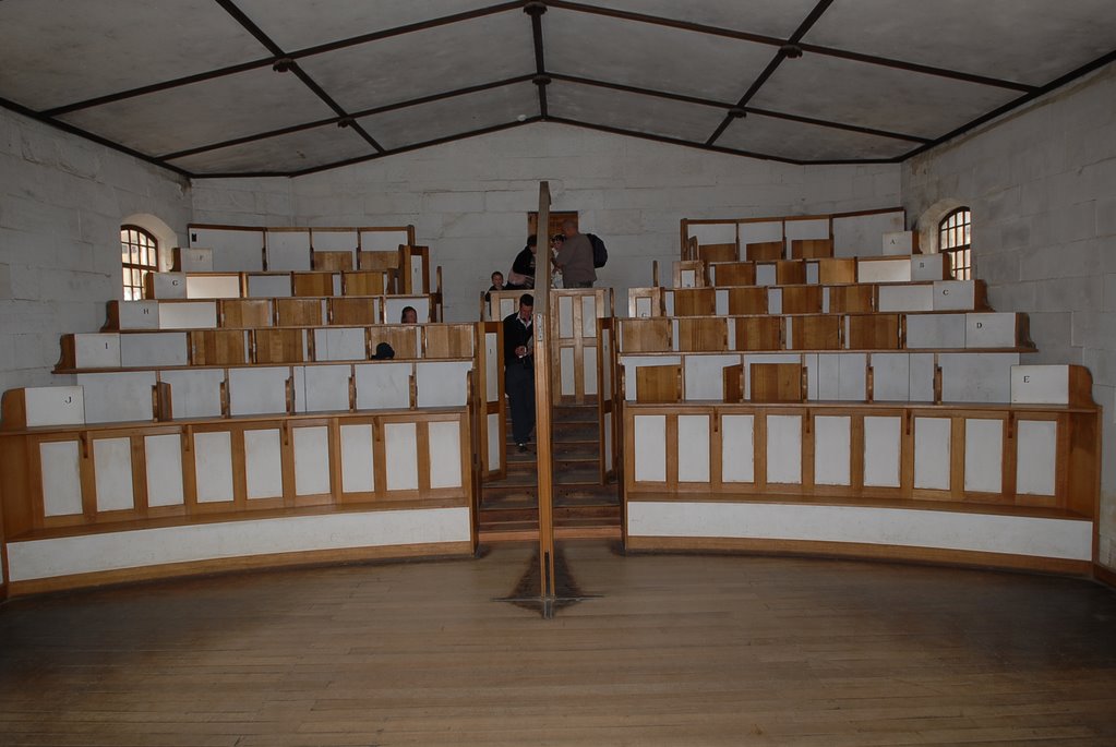
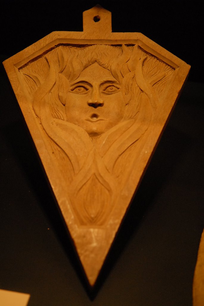
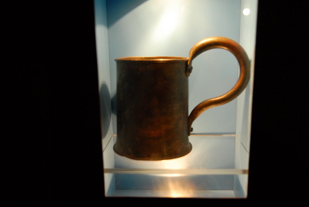
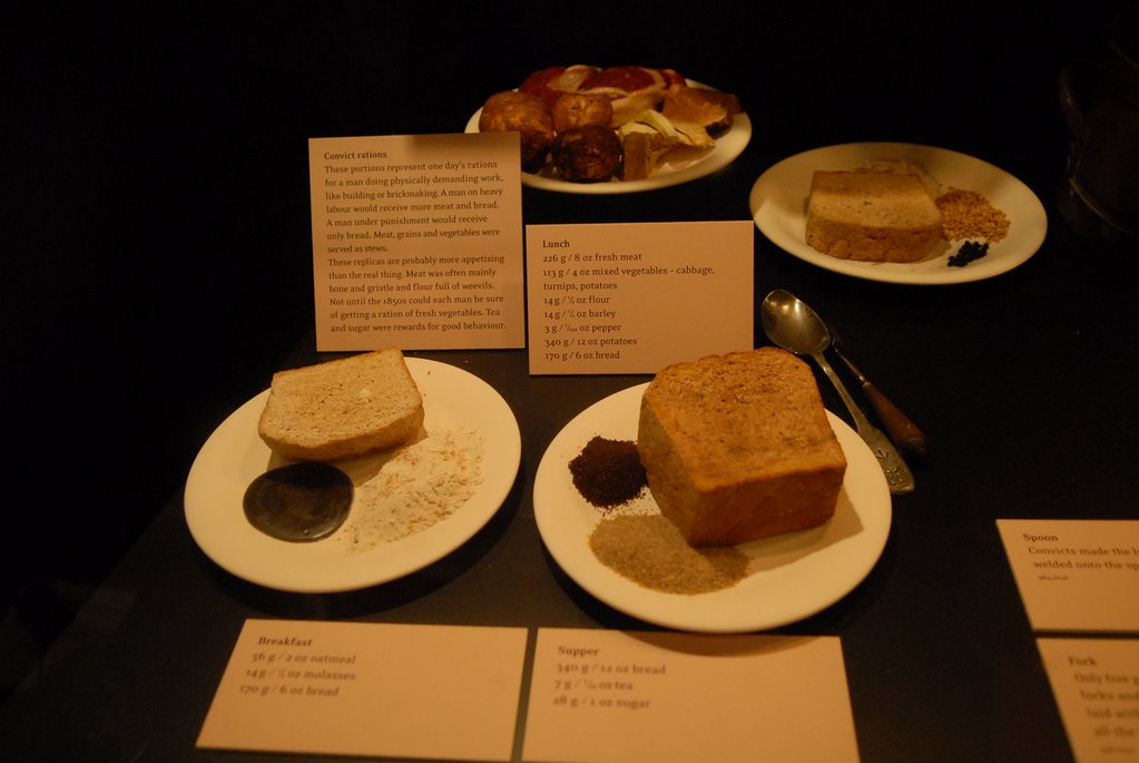
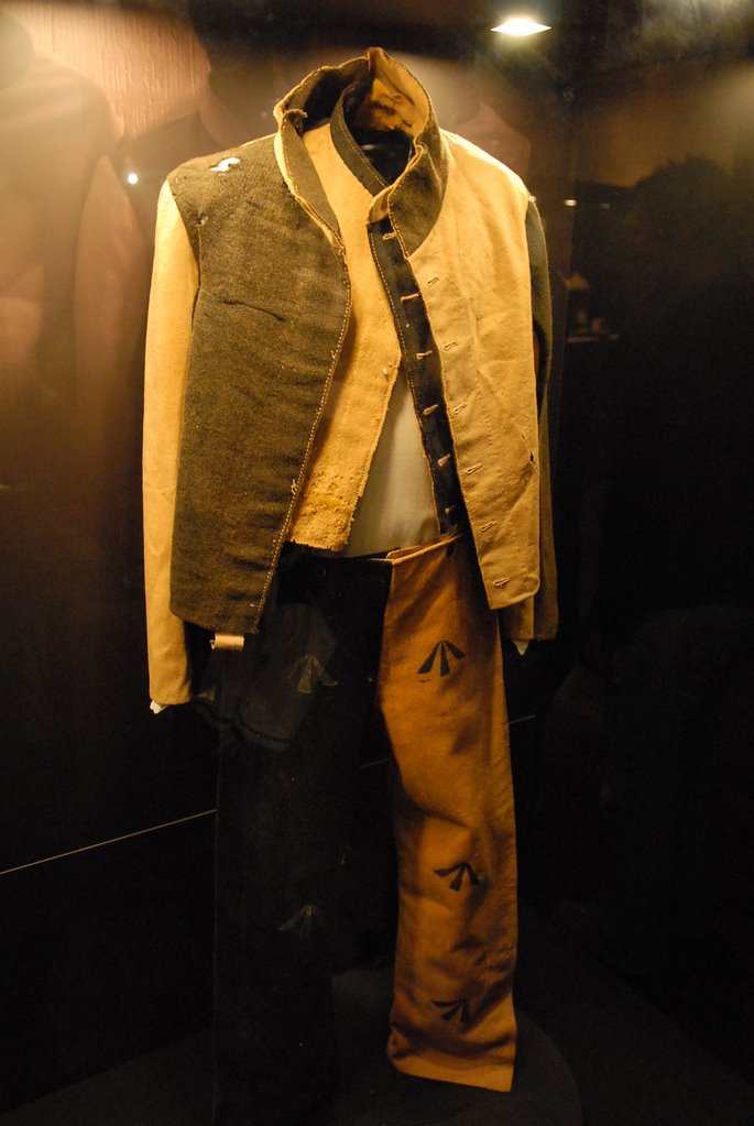
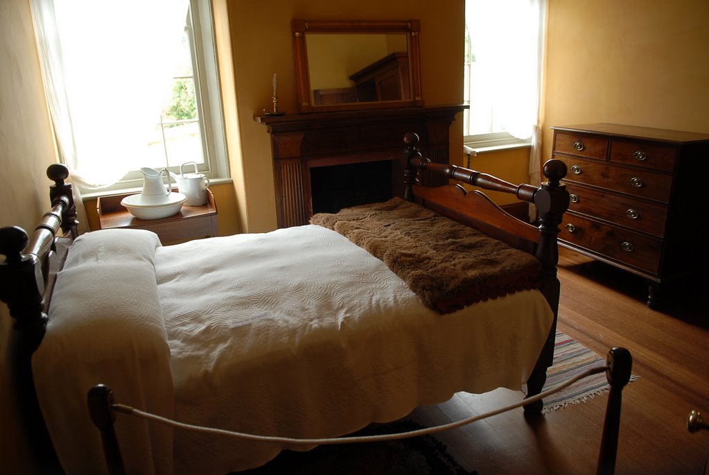
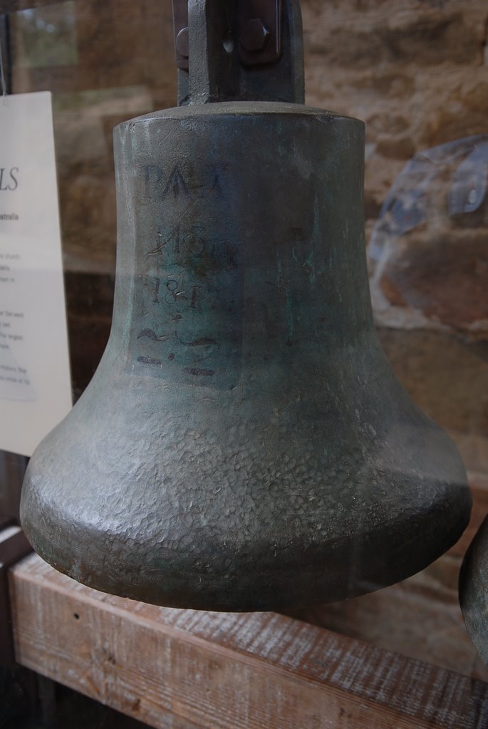
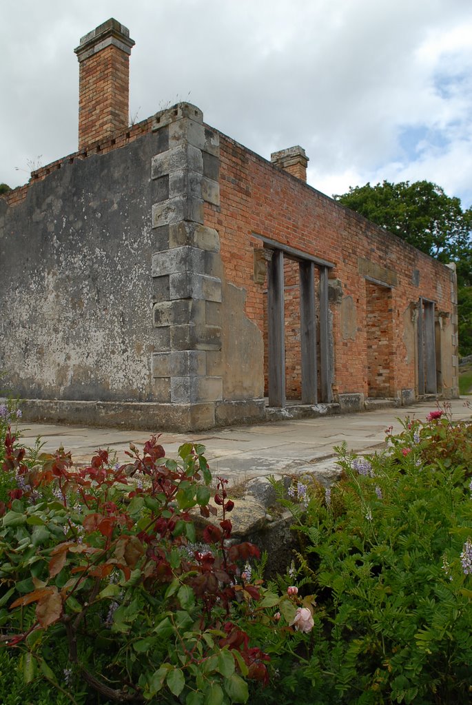
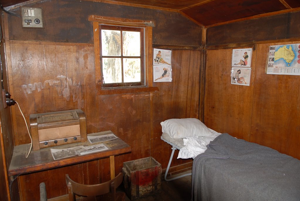
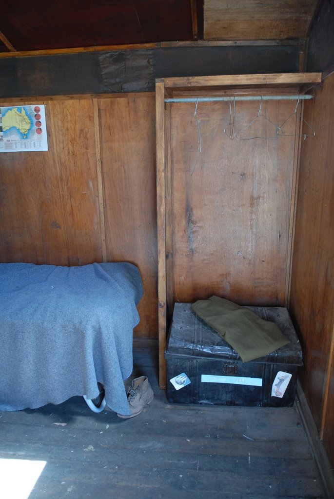
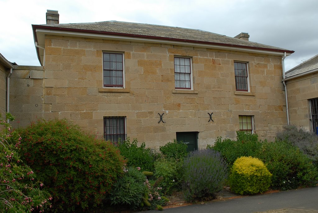
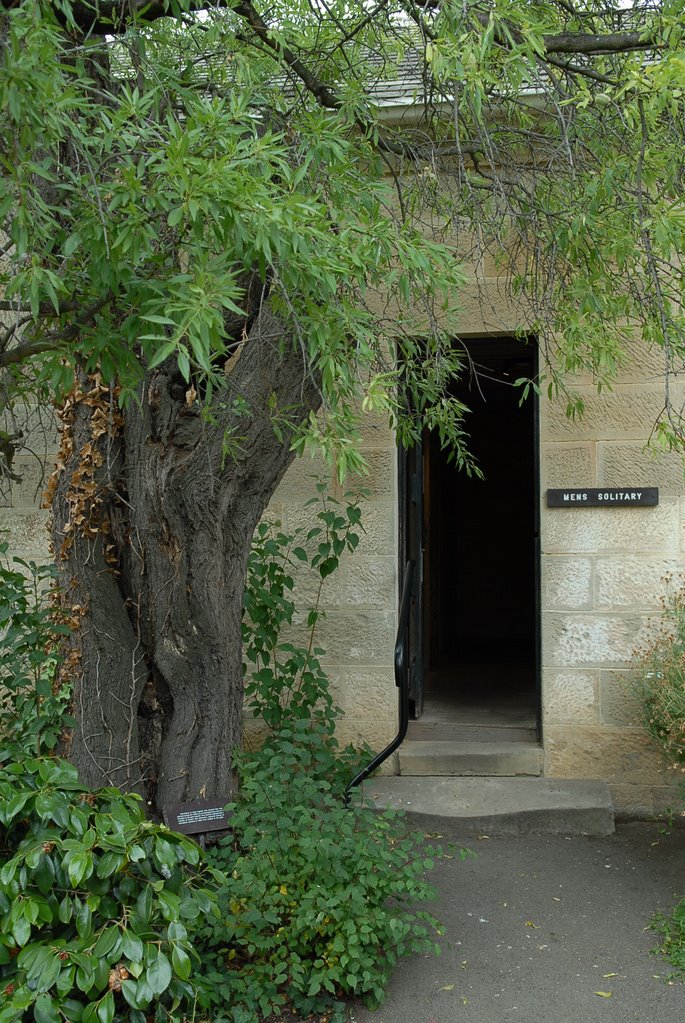
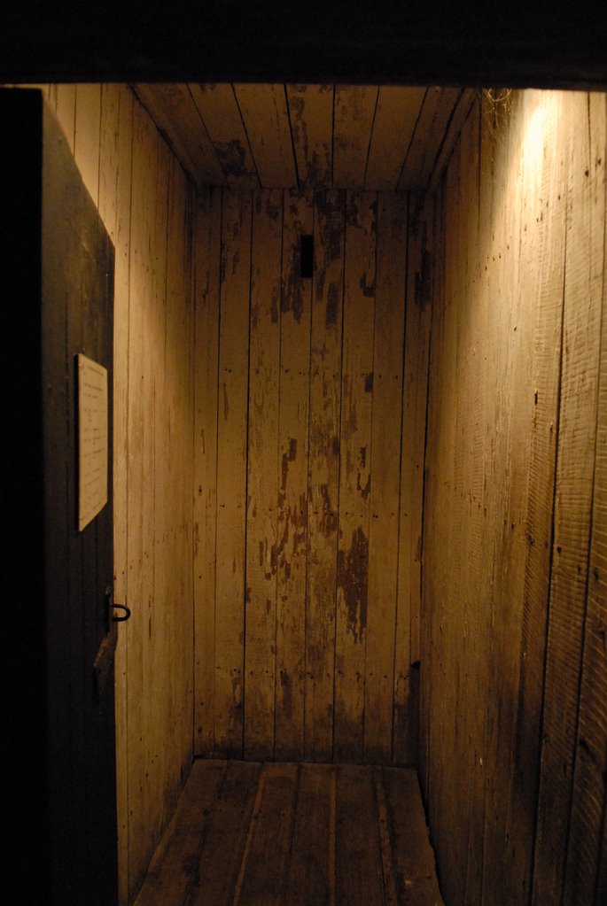
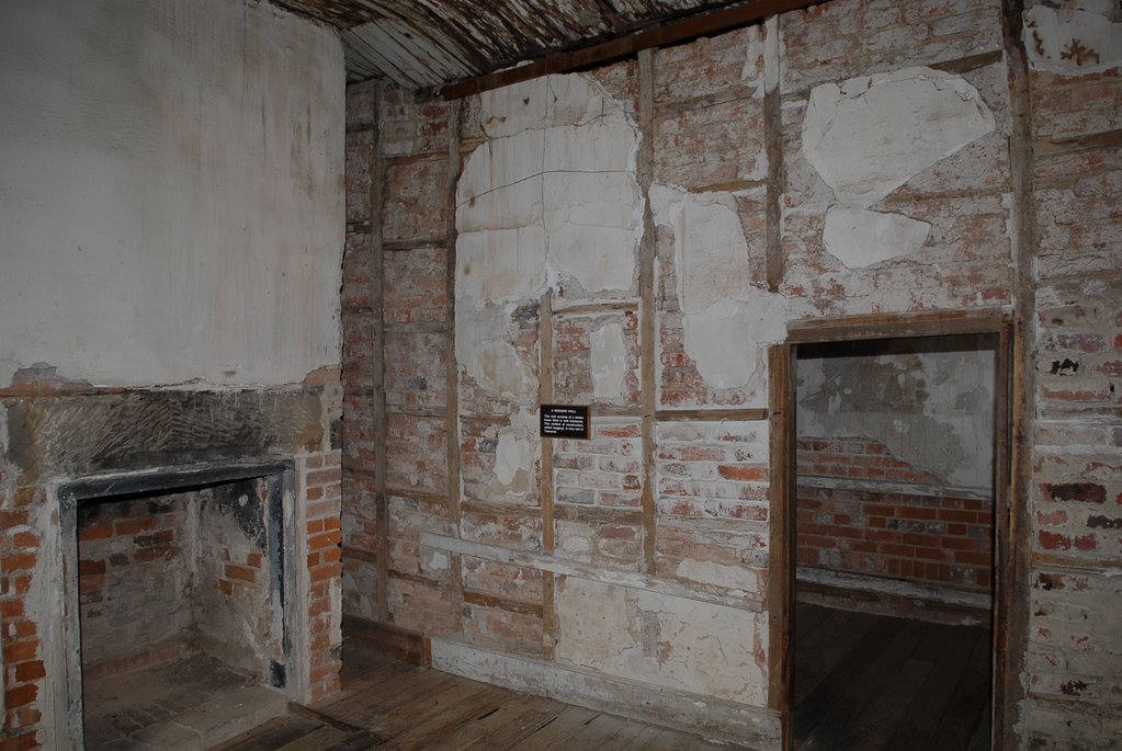
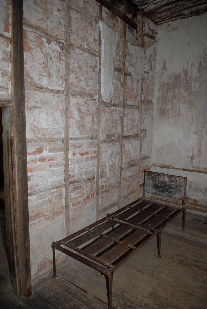
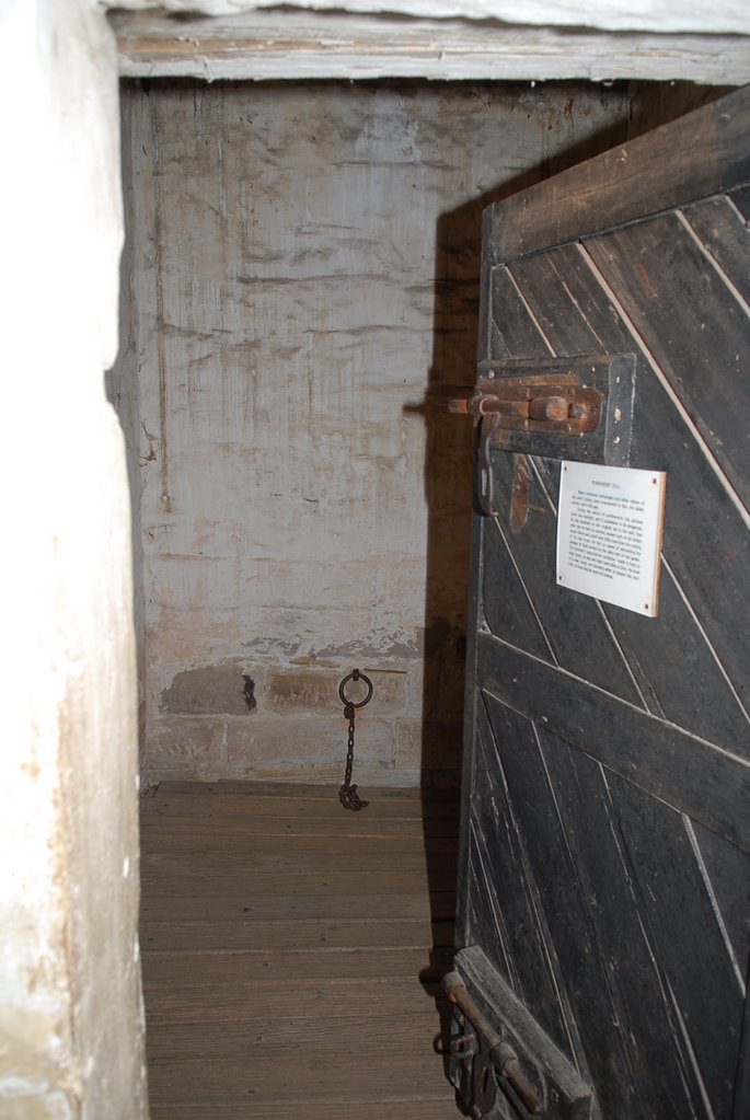
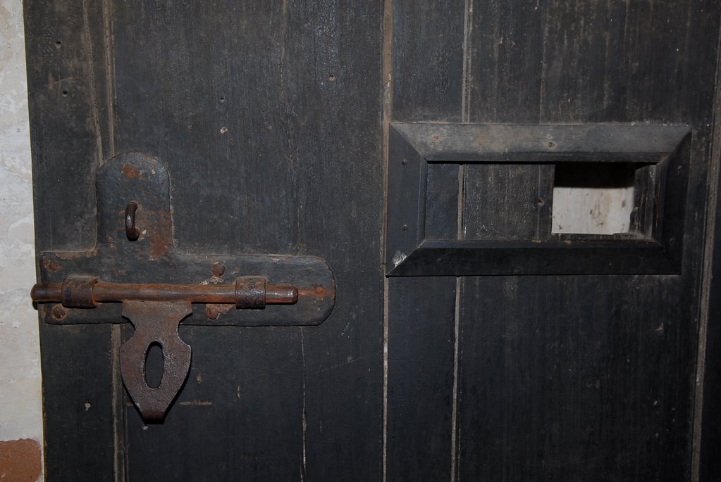
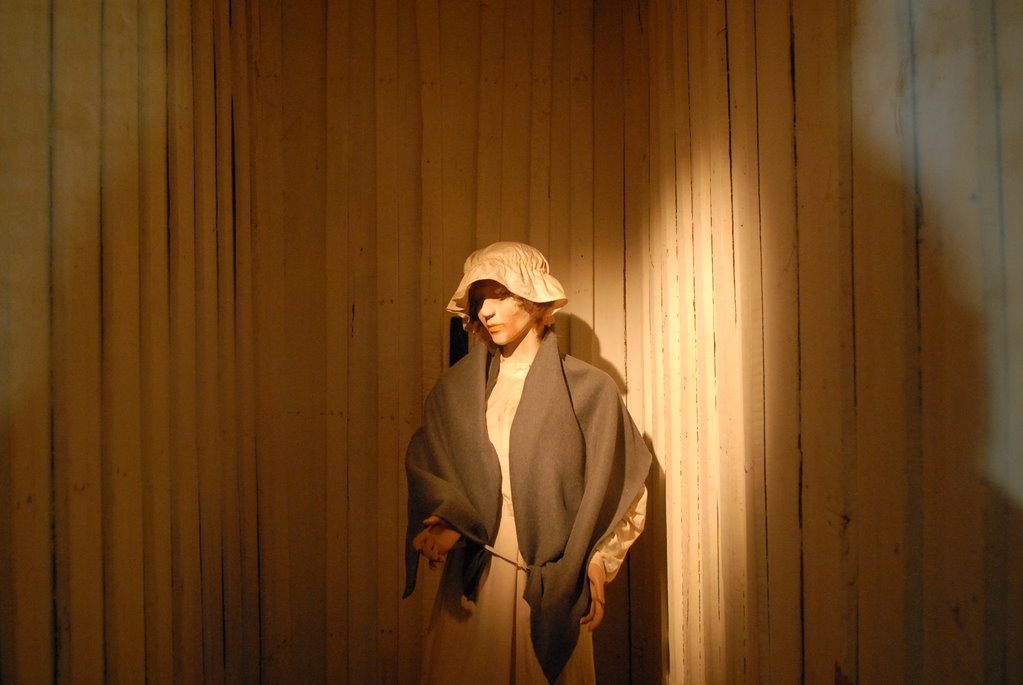
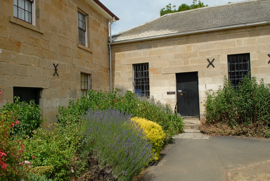
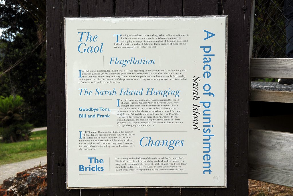
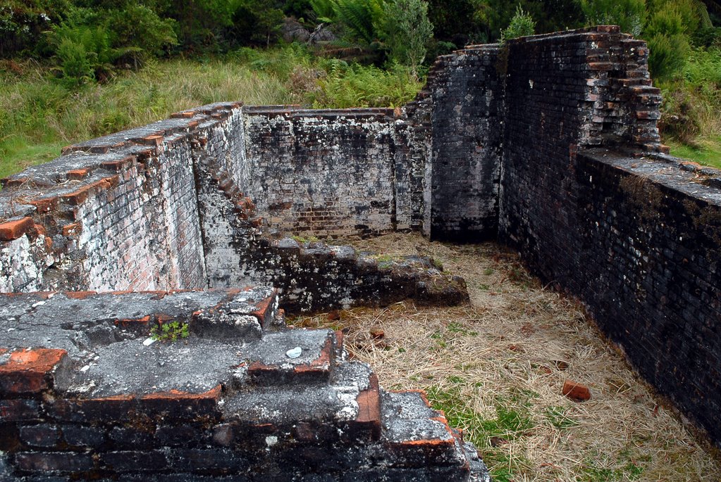
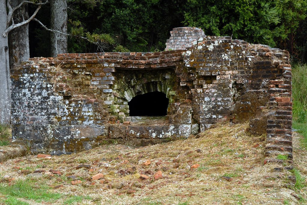
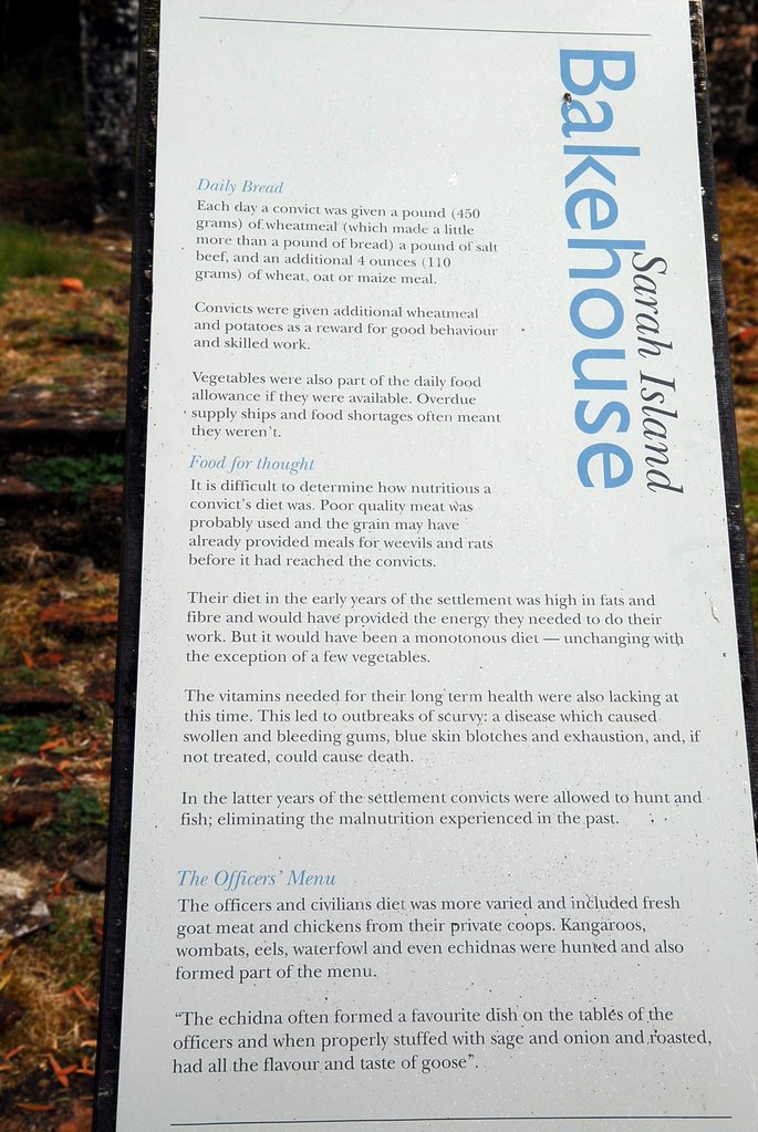
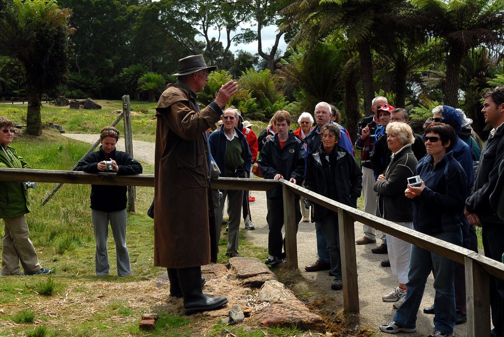
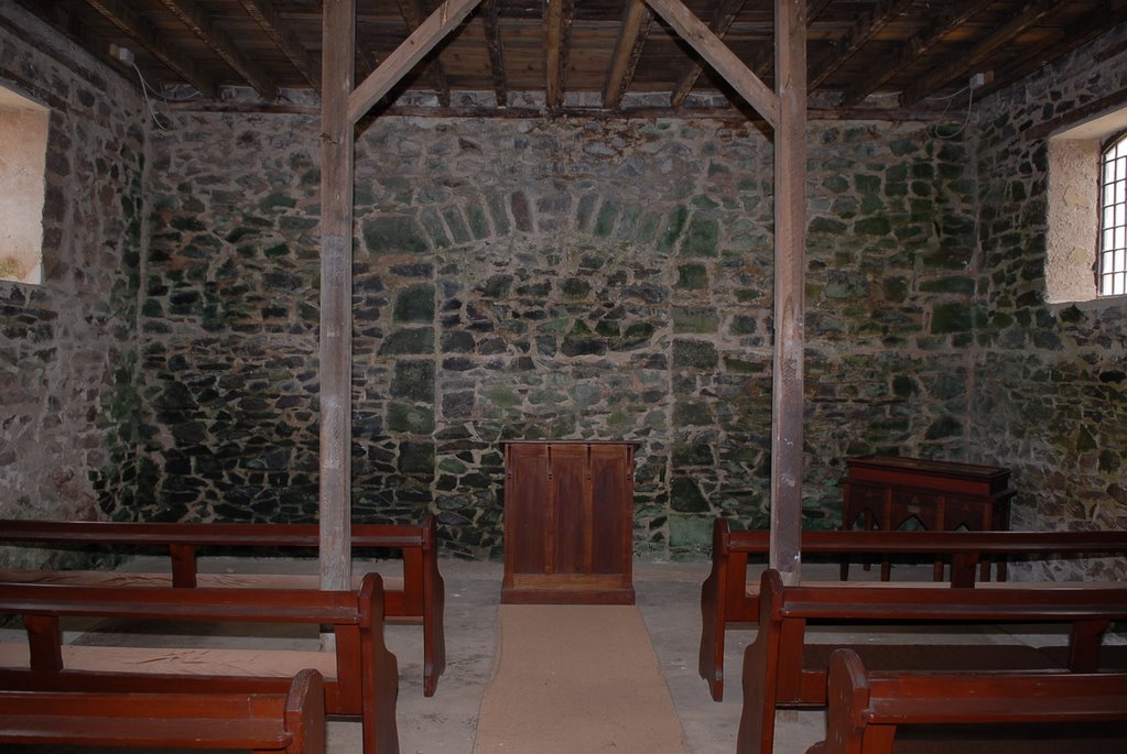
A guide explained the history of the place and of each of the remaining 30 of the original 140 buildings. It was the 1st goal in the British Empire to separate the boys from the men. It also had compulsory education and learning a trade for the boys with optional education for the men. It had a solitary confinement block, hospital, library containing 13,000 books and a lunatic asylum. The cat-o-nine tails was abandoned as a punishment for the prisoners but not army, because they realised that this punishment didn’t act as a deterrent.
DECEMBER 2006-JANUARY 2007
Monday 25 December to Sunday 31 December
Hobart
Blog 4
Christmas Day and we decided to drive up to 1270m high Mt Wellington which was covered in cloud. It was a fantastic winding road and it was snowing. The top of the mountain had a light covering of snow, the wind was blowing, the trees and cars were covered in snow and it was Zero degrees Centigrade.
We continued our mountain explore and drove on to Mt Nelson, only 360m high, which was used as a signal post to notify Hobart and Port Arthur of incoming vessels using Semaphore and gave us a closer view of the Derwent River.
We explored the old and beautiful houses of the Hobart suburb of Battery Point and then continued on to the cenotaph followed by afternoon tea at the beautiful Botanic Gardens.
Rosny Lookout on the east side of the Derwent River gave us views of Sandy Bay, Battery Point, the CBD, the Derwent River and the Tasman Bridge. We continued on to Bellerive Village, Kangaroo Bluff Point and the Battery at Kangaroo Point with its original big guns and our last stop for the day was Bellerive Cricket Ground.
We had made Hobart our base so that we could explore the surrounding areas easily without the caravan. The day was beautiful and fine so we decided to head to the top of Mt Wellington again to see the view this time. There was no wind and the view was spectacular. We drove south along the Huon Trail to the Tahune Airwalk.
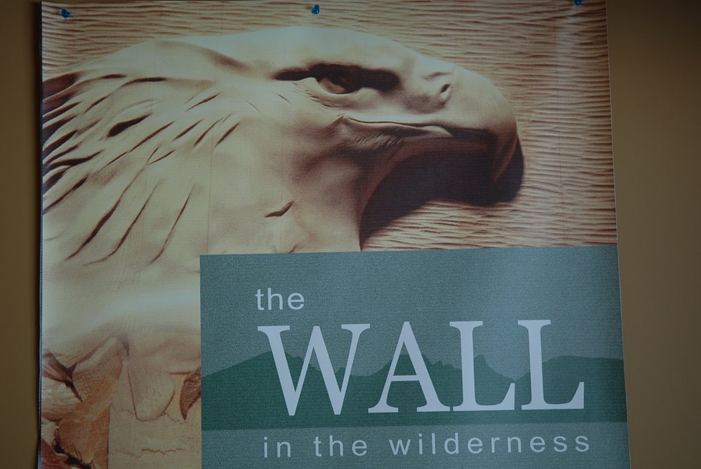
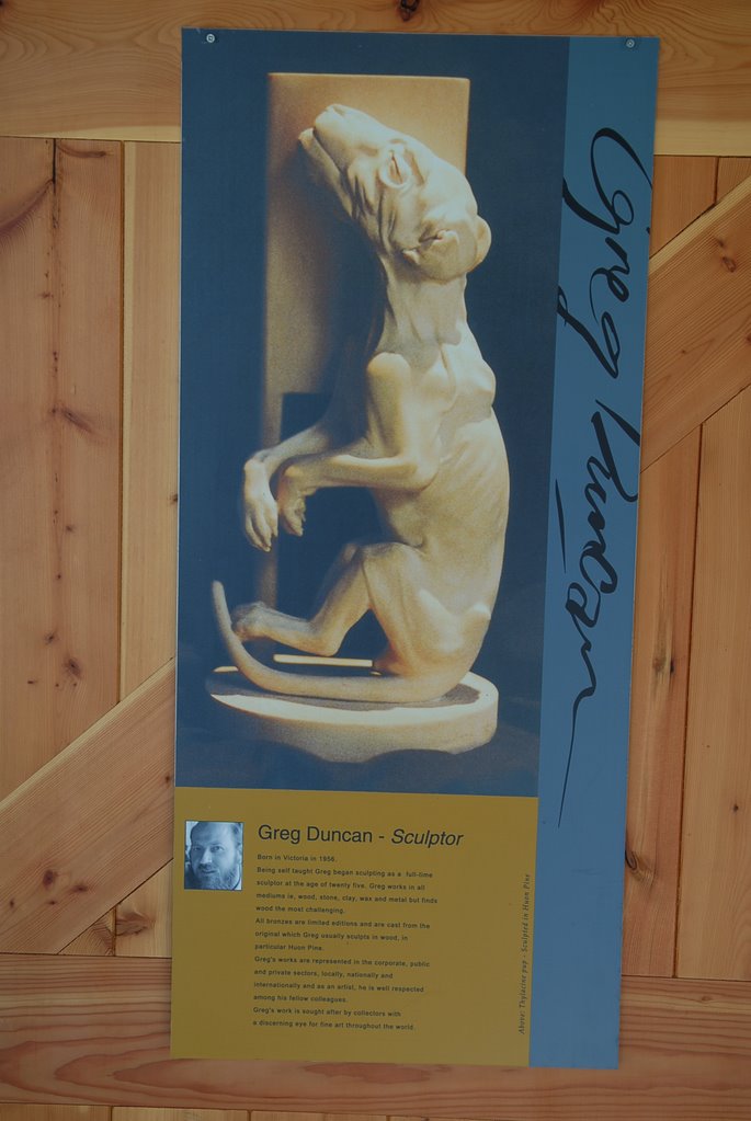
We bought our tickets for the Airwalk at Geeveston which is a little town that has many beautiful sculptures of local identities carved in Huon Pine. We stopped at the rainforest and the Arve River on the way to the Airwalk. We enjoyed both the Airwalk and the Huon Pine walk along the Huon River. The rainforests are just beautiful and the Huon Pines only grow very close to the rivers because they need the water.
Bruny Island was another day trip that we took from Hobart. The car ferry took us from Kettering to North Bruny Island in half an hour. We had enough time to explore the 2 islands before our cruise to the southern part of the South Island. The scenery was fantastic and varied even though it was quite cold and windy. First we headed north to Dennes Point, via Barnes Bay and Nebraska Beach, the northern most point of the islands. It was as the brochures said; quite barren, sparsely populated and not very interesting. Nevertheless the coastal scenes are always beautiful.
We drove to the south island via Isthmus Bay and the neck that connects the 2 islands. We still had time to go to the most southern point of the south island to the Cape Bruny Lighthouse driving through Alonnah and Lunawanna and enjoying the much prettier terrain of the south island. The view from the 1823 lighthouse was spectacular, to the east of the lighthouse was to Southport on the mainland which is the south end of the Huon Trail. We got to Adventure Bay, the main town of Bruny Island, just in time for our boat cruise.
We knew that it would be cold when we were handed rain coats and beanies. We saw the magnificent vertical dolerite cliffs, caves, breathing rocks spectacular columns that the boat drove between. We travelled as far south as The Friars, little islands at the south of south Bruny Island.
We saw colony of Australian Fur Seals including some babies and watched them frolic in the water, lots of black faced cormorants, Kelp Gulls, Gannets and saw the huge areas of kelp attached to the cliffs, growing sometimes as much as 1m a day.
On our way home from this great day we still had enough energy to wonder around Constitution Dock to see at the yachts that had already arrived from the Sydney to Hobart Race and have dinner at the Hobart Food Fest.
The next day we drove down the east side of the Derwent River to Opossum Bay which is a beautiful little community across from Kingston on the mouth of the Derwent River. It is a lovely little community which is not mentioned in any of the tourist brochures and is a well kept local secret.
Our next day trip was to Port Arthur on the Tasman Peninsula stopping at Dunalley, a beautiful little fishing village with a monument to Abel Tasman, the 1st European to discover Tasmania. We continued on to Eaglehawk Neck which is the neck between the Forestier Peninsula and the Tasman Peninsula.
The Neck was one of the reasons that the Tasman Peninsula was selected for the penal settlement as it was easy to patrol and catch any escaped convicts as the only escape over land was past this narrow neck. The army set up a “Dog Chain” which was literally 18 ferocious dogs chained together so that any one passing the neck would be detected. There is a statue of a dog to commemorate this time.
The main feature of this place is its geological features and the Tessellated Pavement was fascinating. Our next stop at Eaglehawk Neck was the Tasman Blowhole which wasn’t blowing but still worth seeing and then on to the Tasman Arch and Devils Kitchen. The cliffs were very high and it was lovely. You can see the progression from cave, to blowhole to arch.
Port Arthur looks spectacular and a boat tour took us around Mason Cove, around the Isle of the Dead which is where the dead from Port Arthur were buried, and past Point Puer which is where the young boy offenders were kept separate from the male offenders. The history of Port Arthur is quite amazing. The convicts who were originally sent here were 2nd offenders, those who had offended once they were already in NSW.
A guide explained the history of the place and of each of the remaining 30 of the original 140 buildings. It was the 1st goal in the British Empire to separate the boys from the men. It also had compulsory education and learning a trade for the boys with optional education for the men. It had a solitary confinement block, hospital, library containing 13,000 books and a lunatic asylum. The cat-o-nine tails was abandoned as a punishment for the prisoners but not army, because they realised that this punishment didn’t act as a deterrent.
They found that solitary confinement was feared by the convicts and actually it really drove many of those confined mad and consequently they built the lunatic asylum. Port Arthur closed as a penal colony in 1877. Port Arthur was a most interesting place and they really tried different things to change the behaviour of the convicts even though some were not successful and the place and conditions were harsh.
posted by Mike and Carol at
11:49 AM
![]()