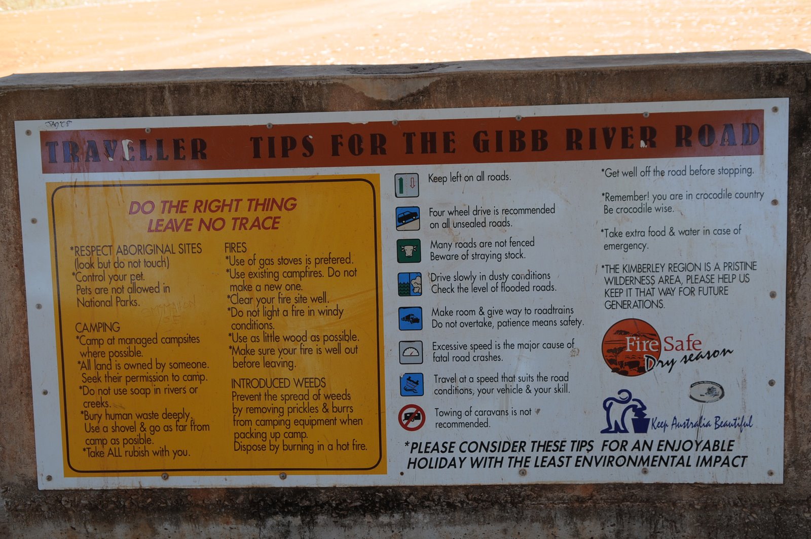
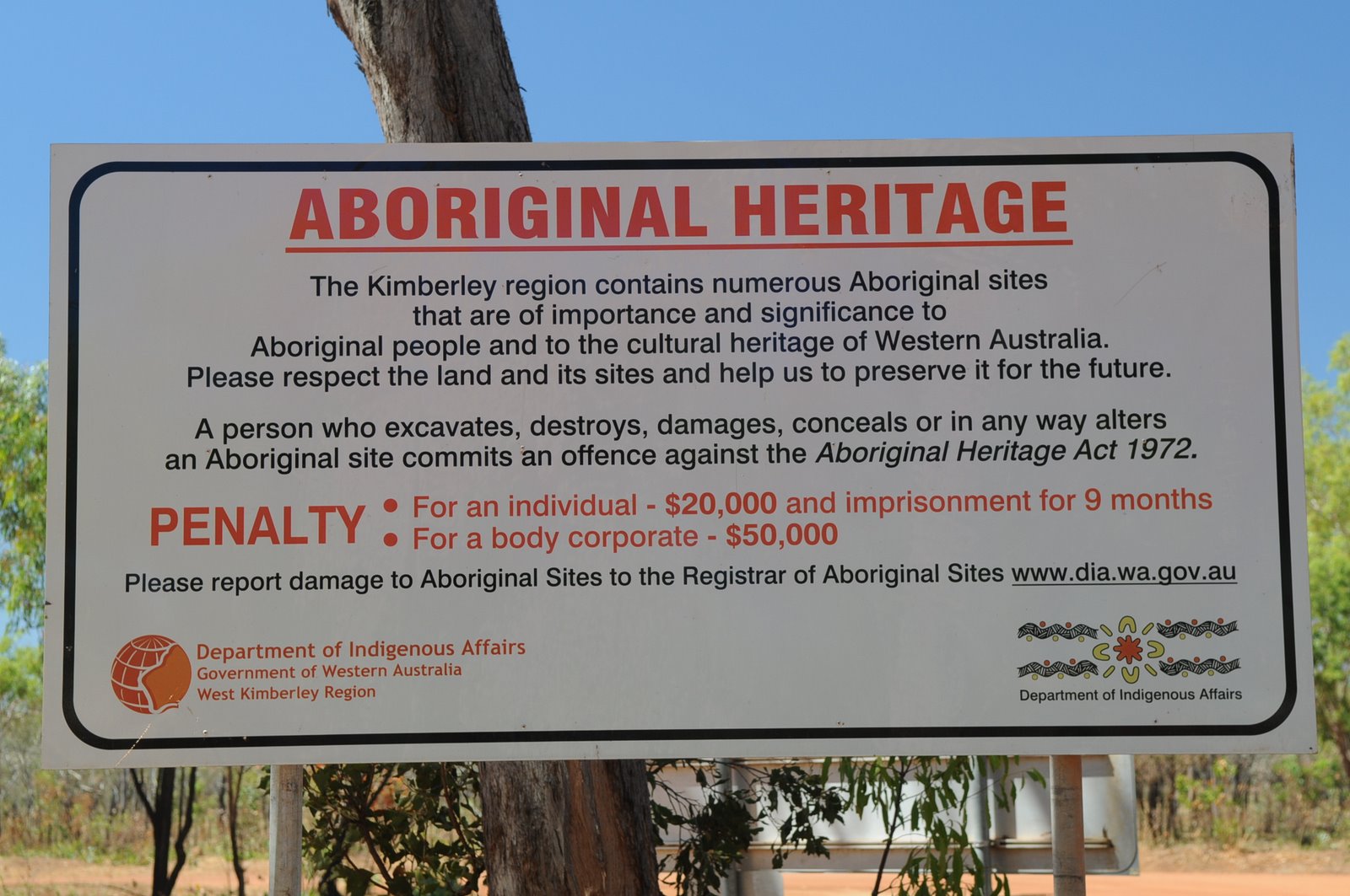
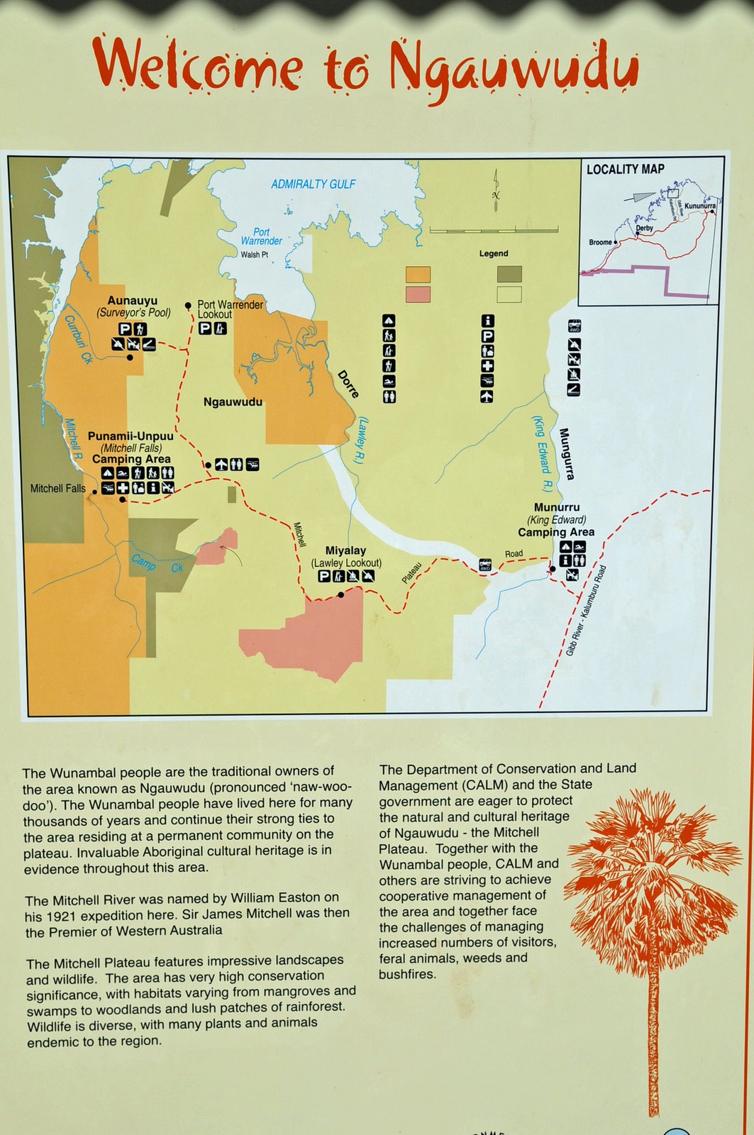
THE BIG TRIP - 2008
AROUND AUSTRALIA 2008
Saturday 13 September – Friday 19 September
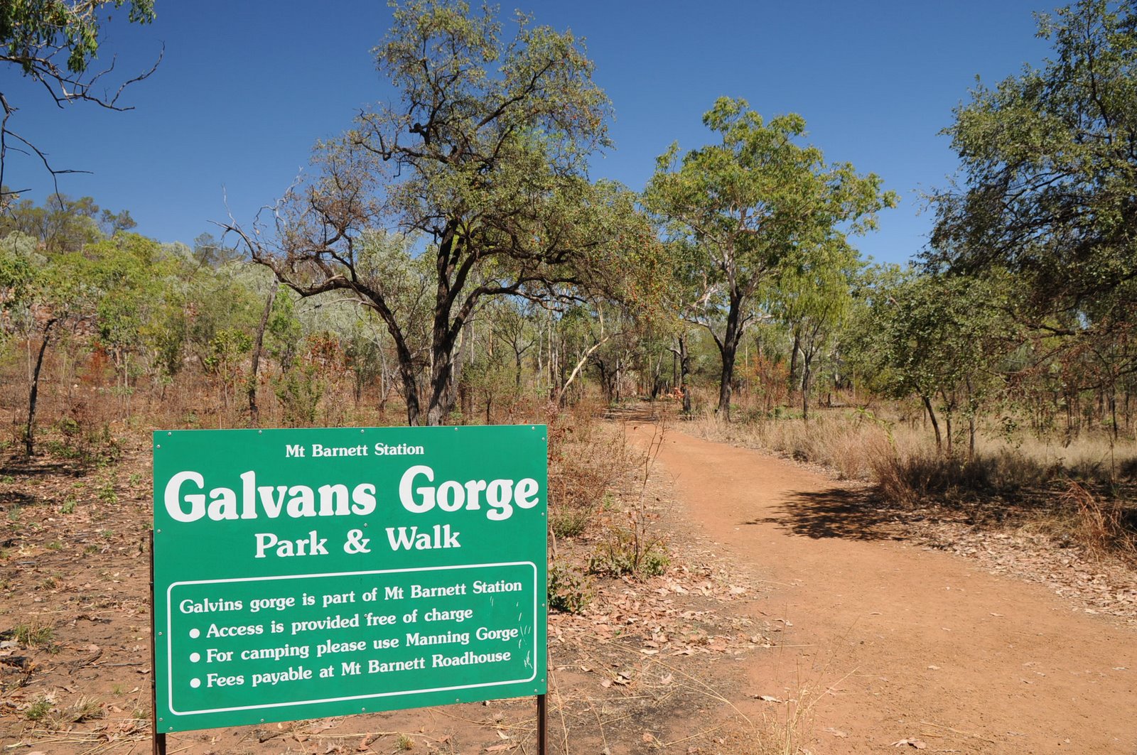
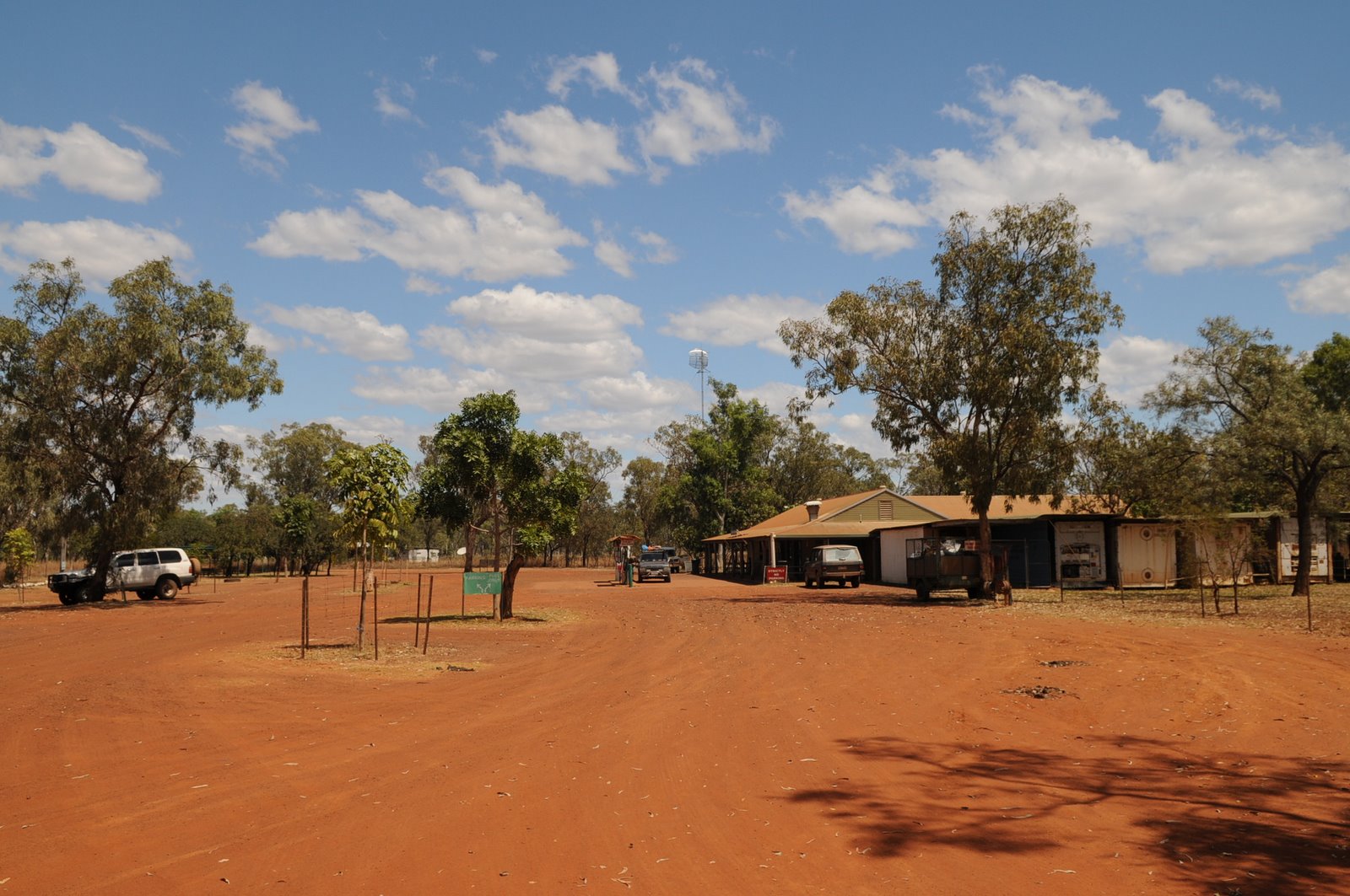
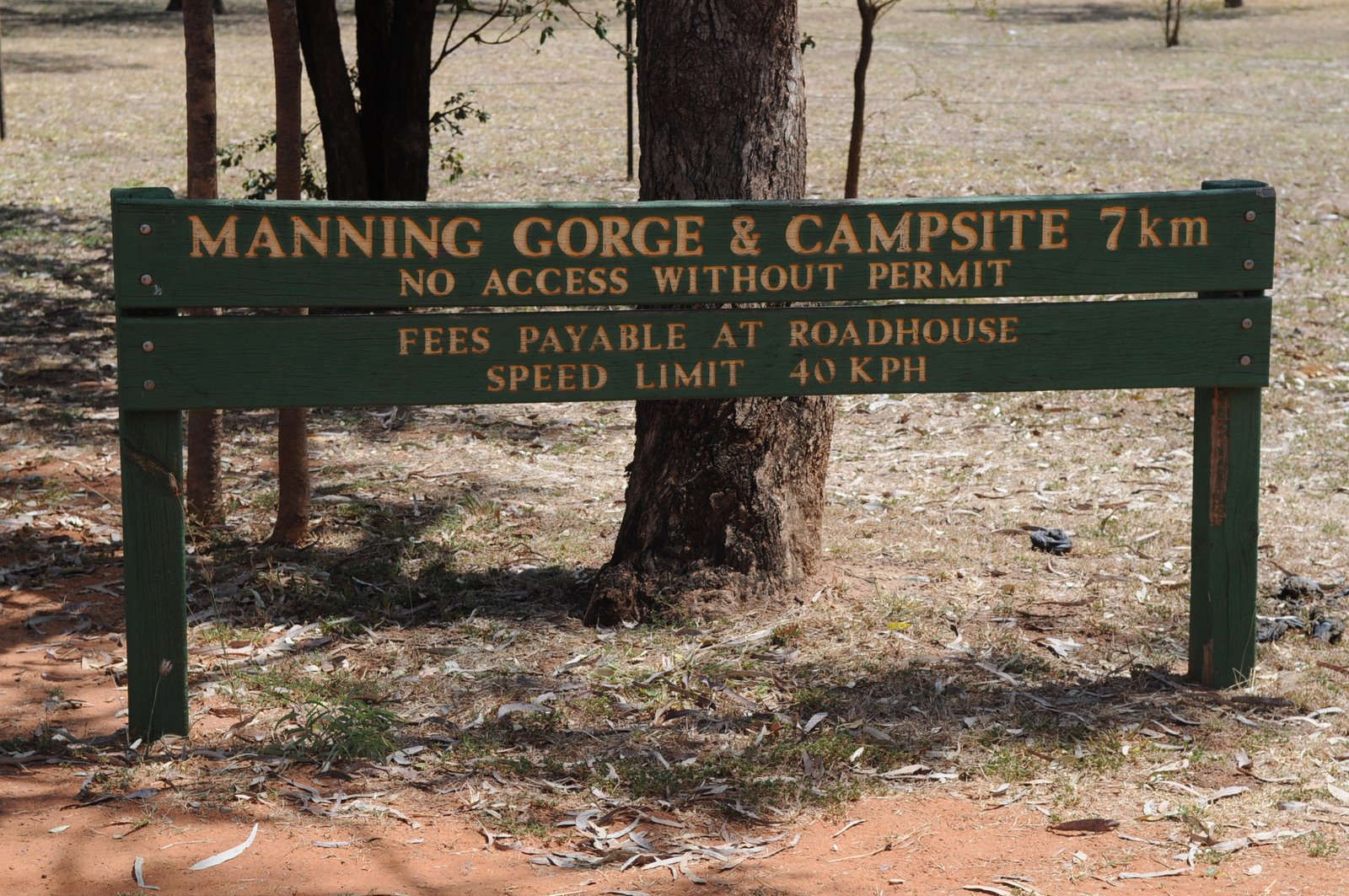
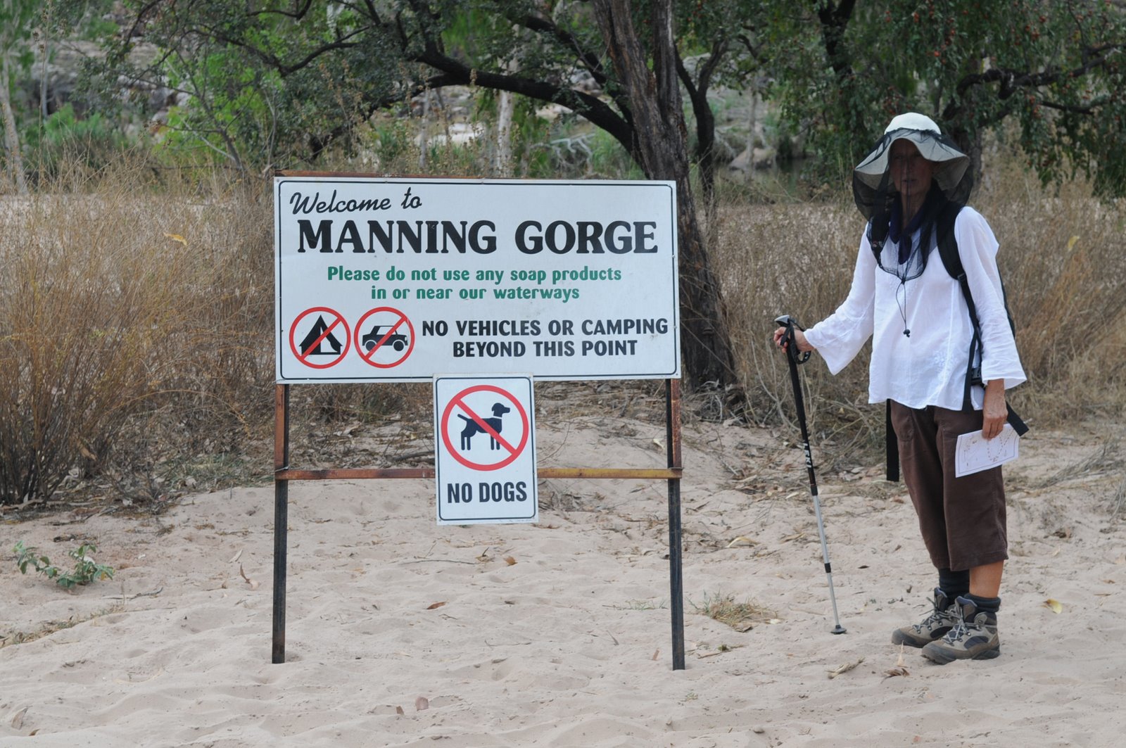
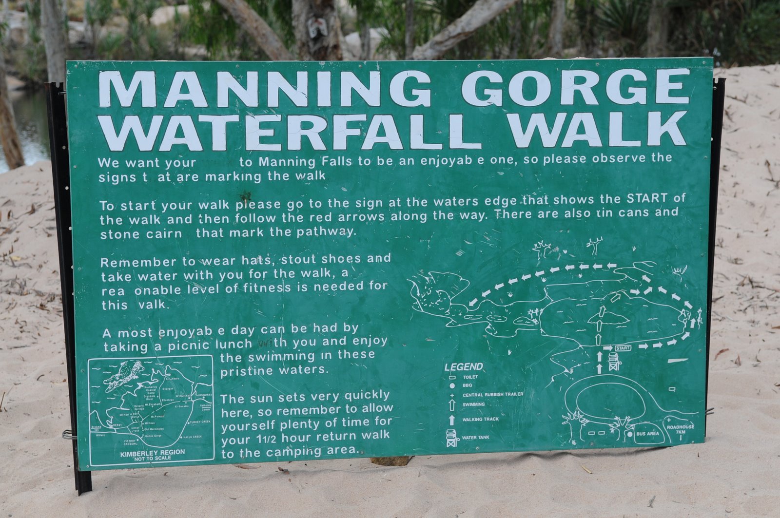
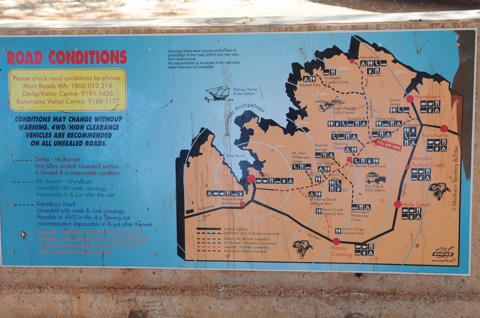
Manning Gorge to Broome
Blog 8
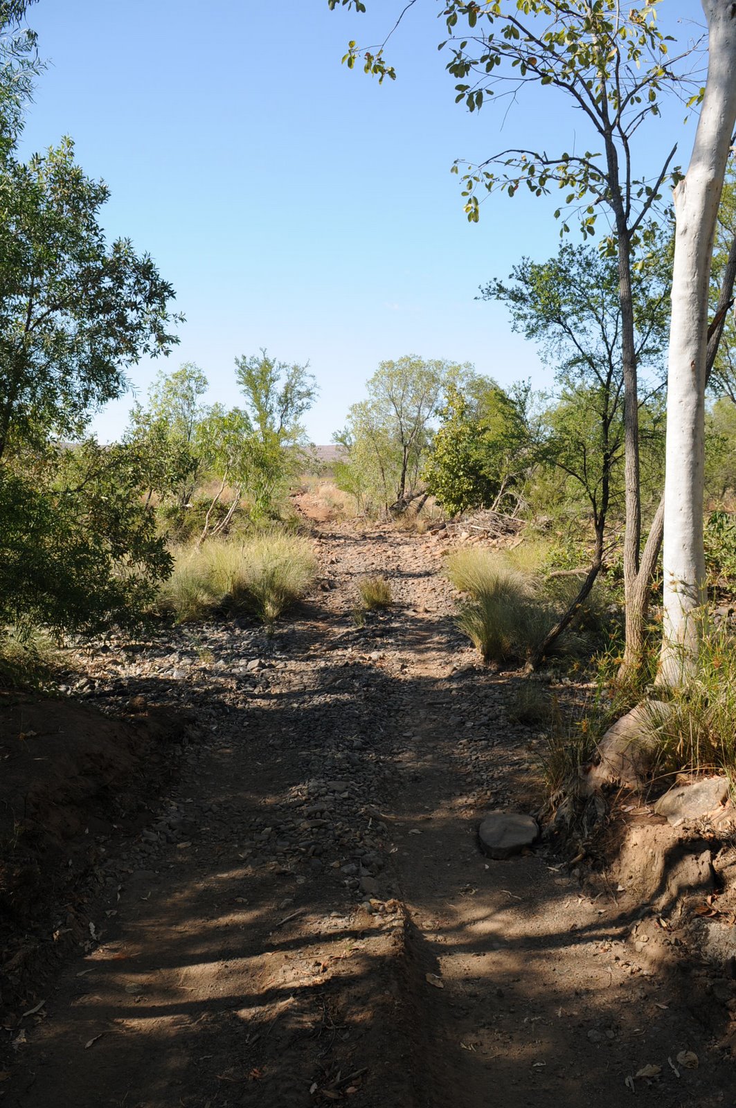
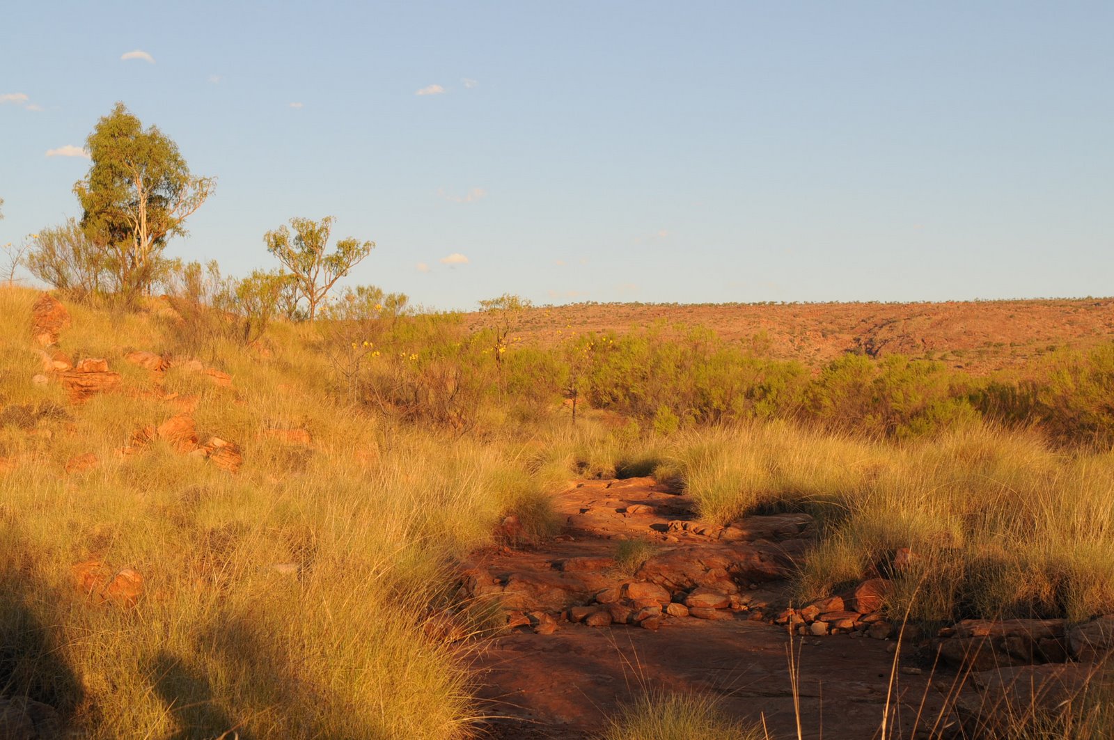
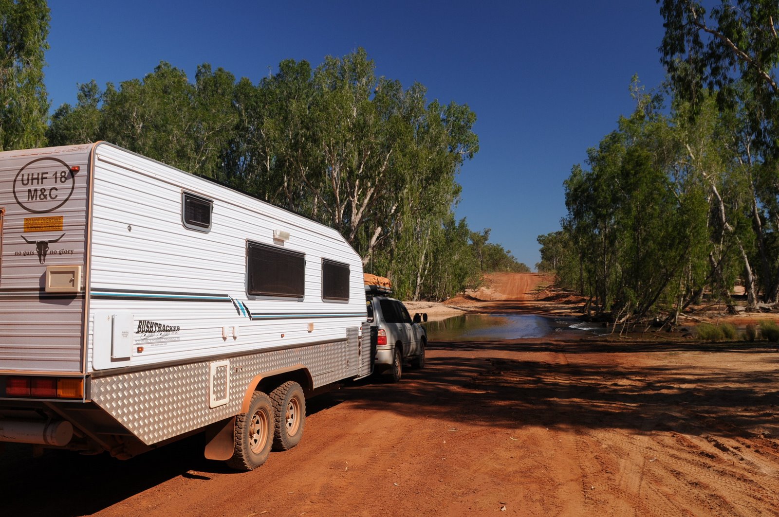
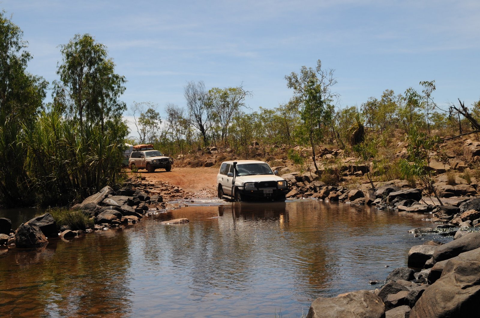
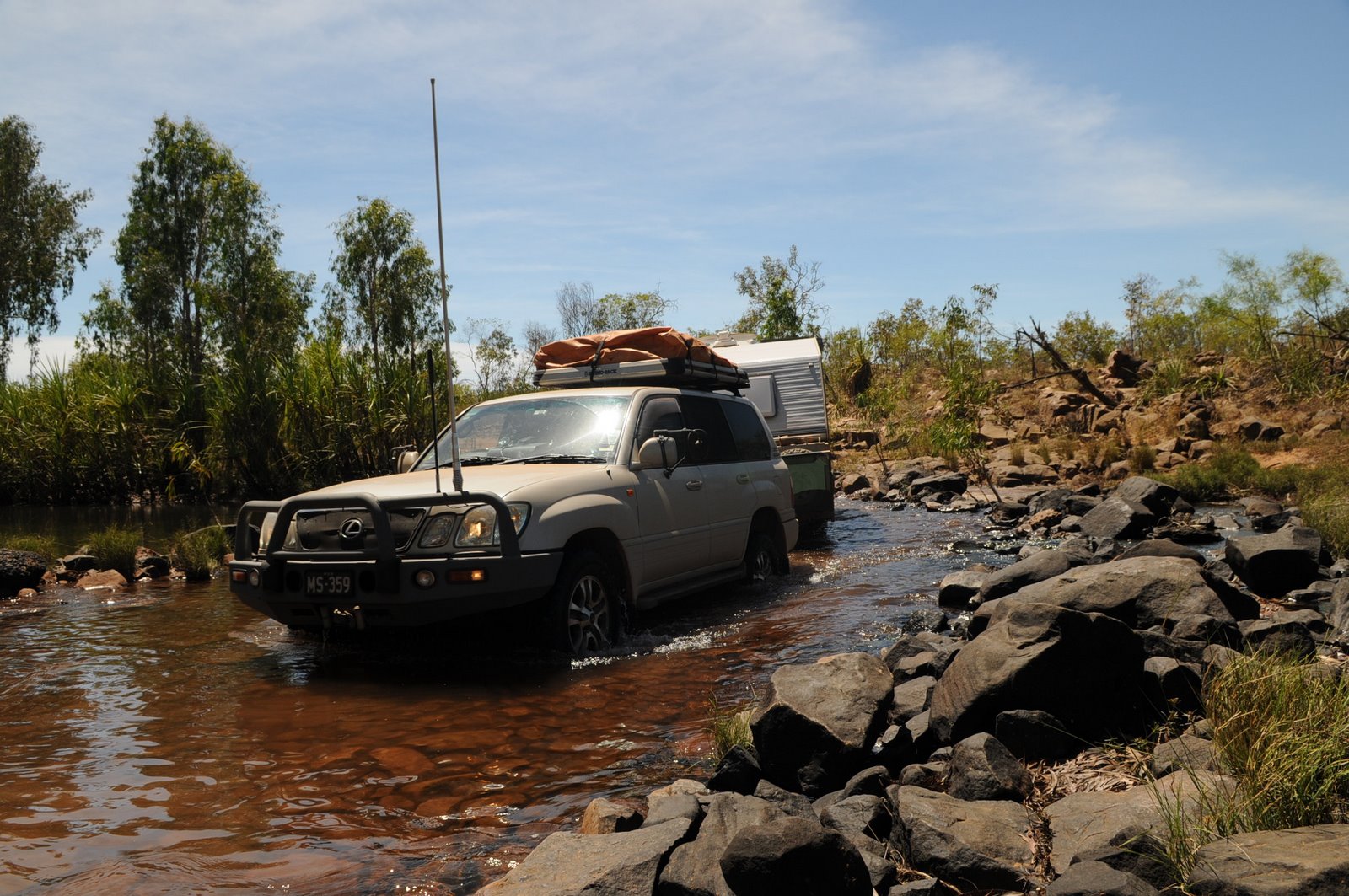
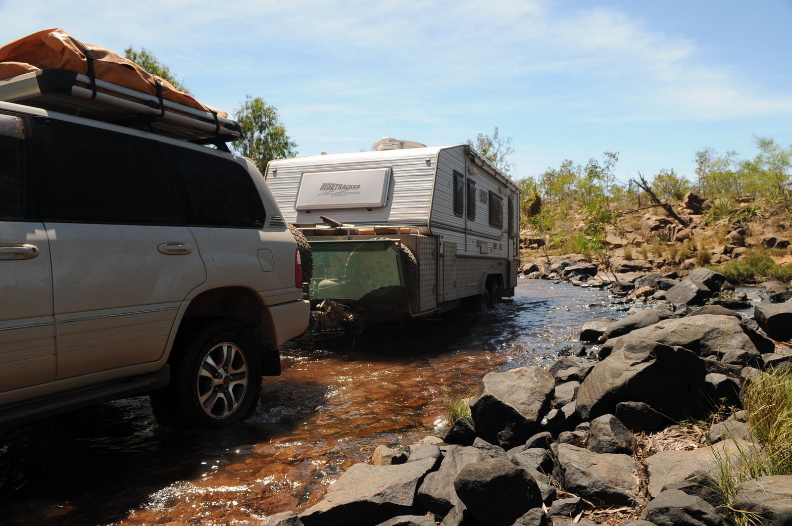
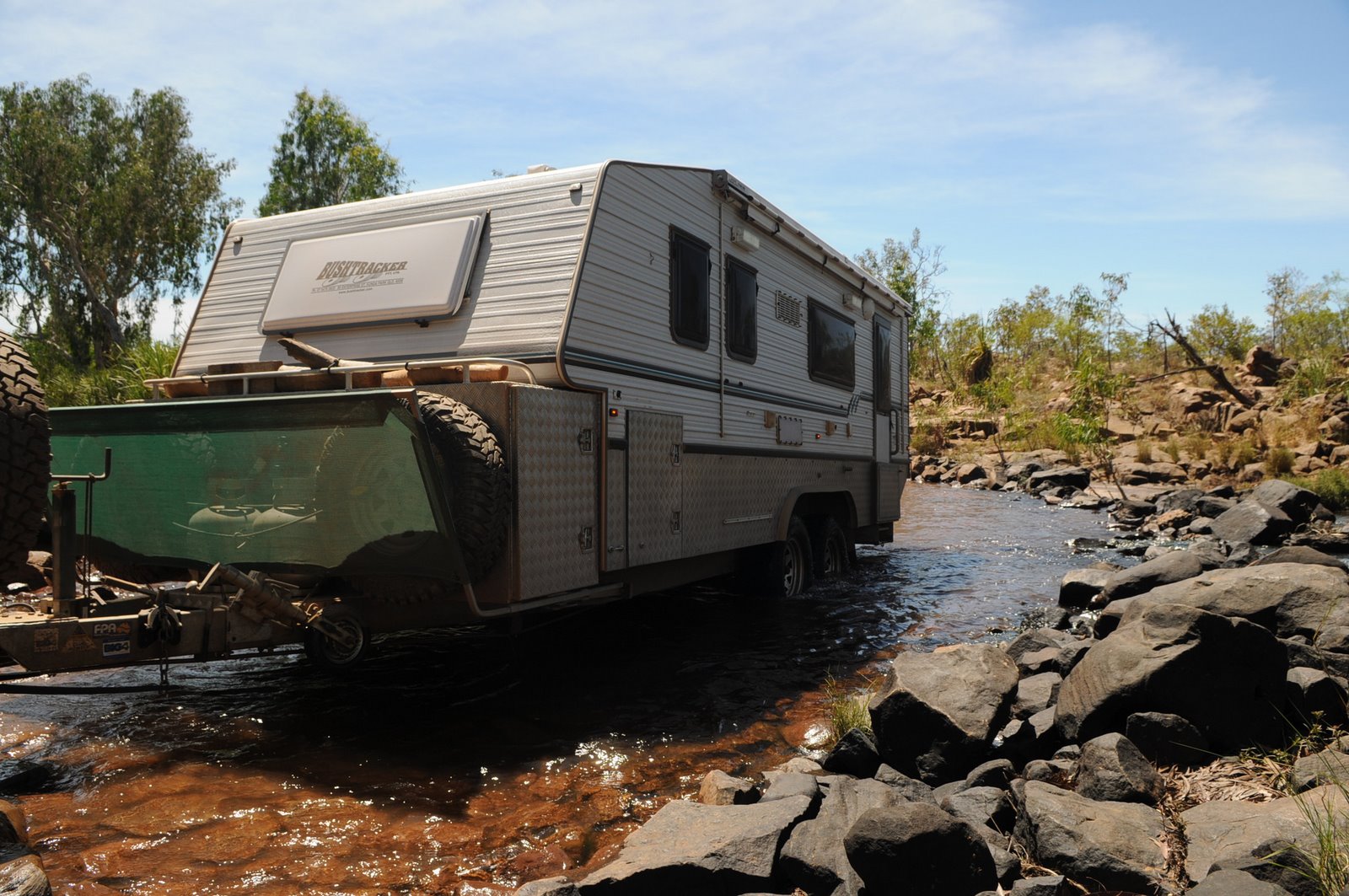
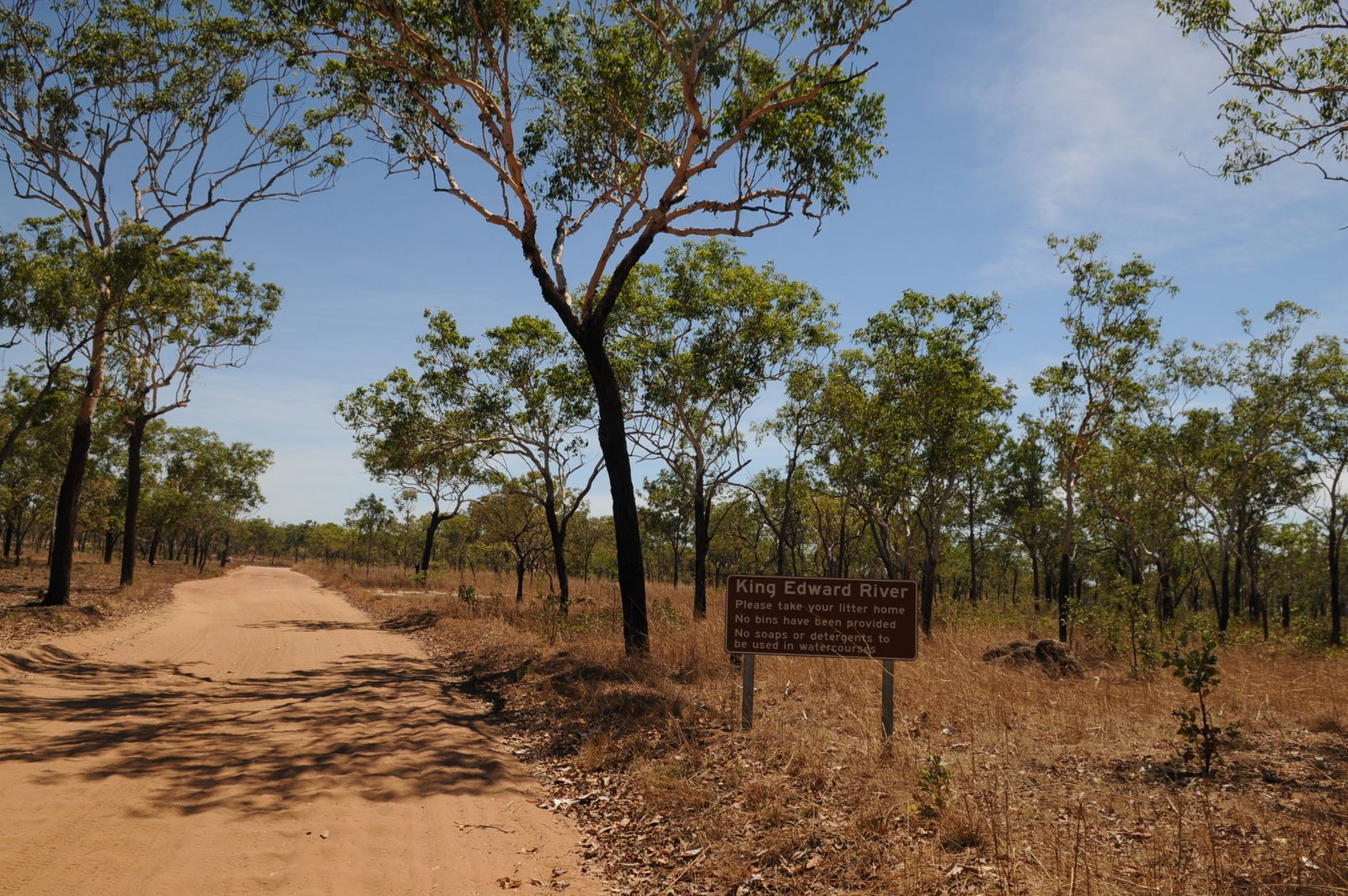
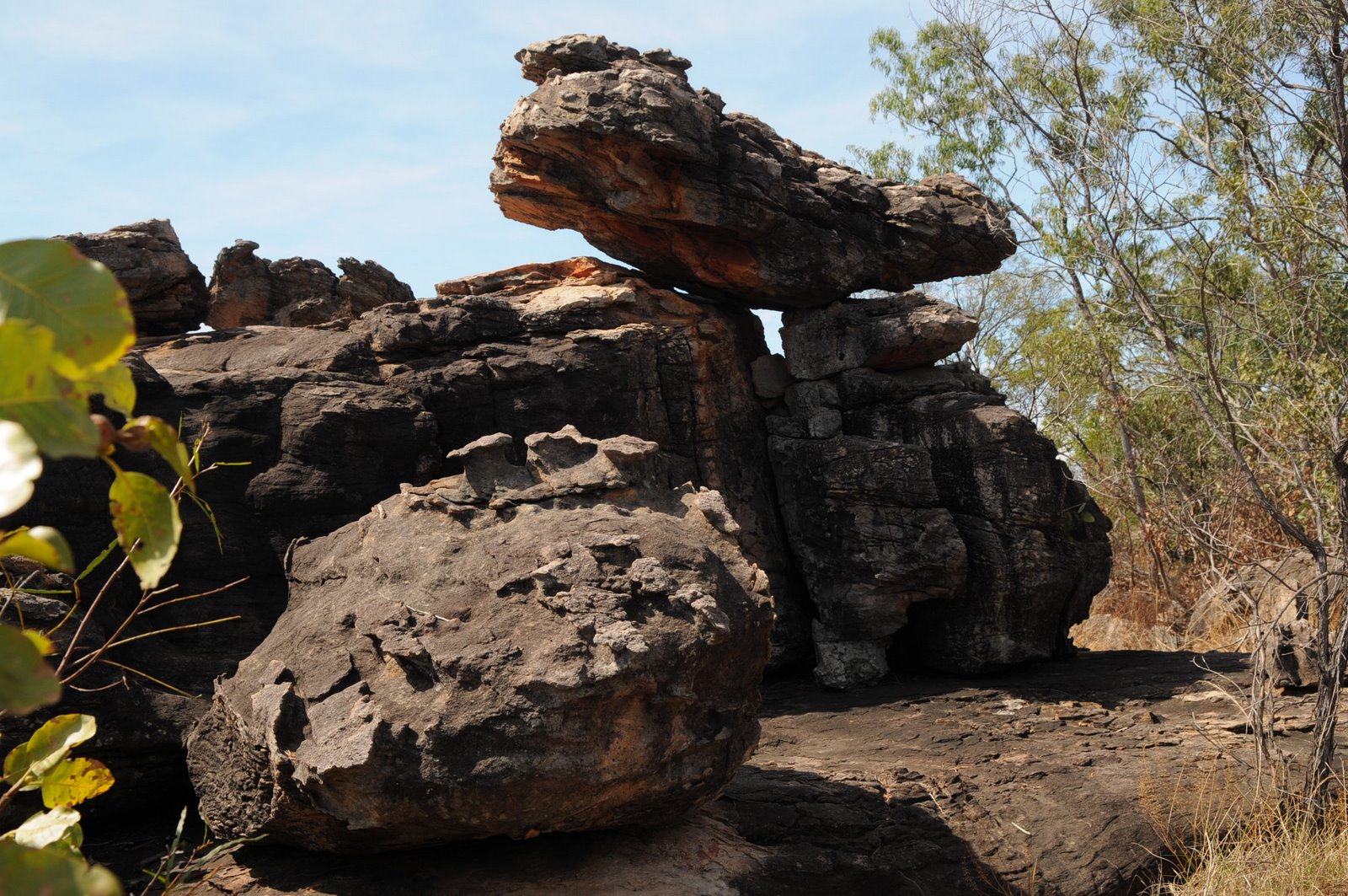
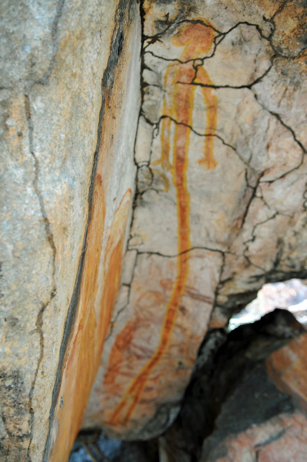
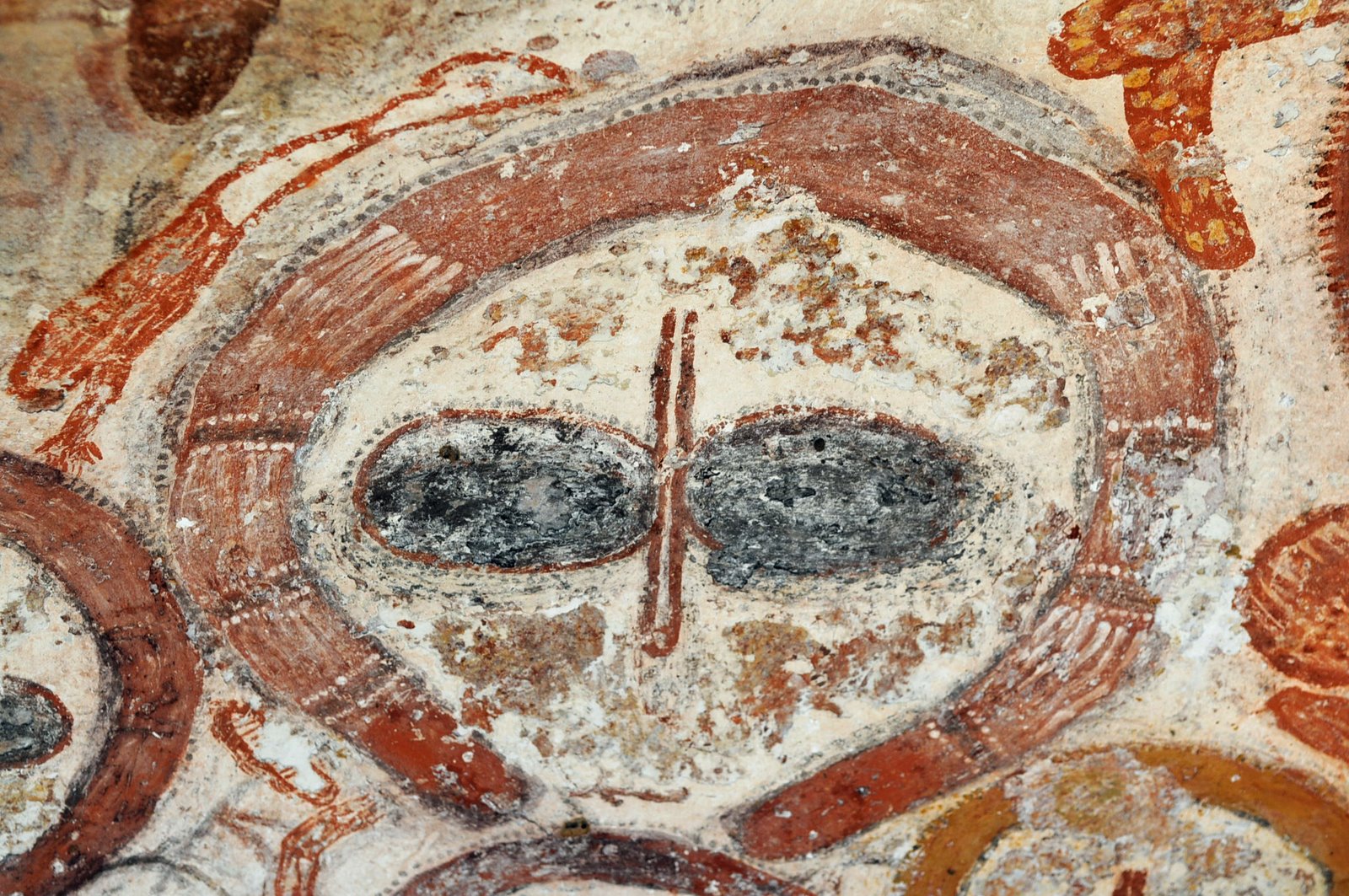
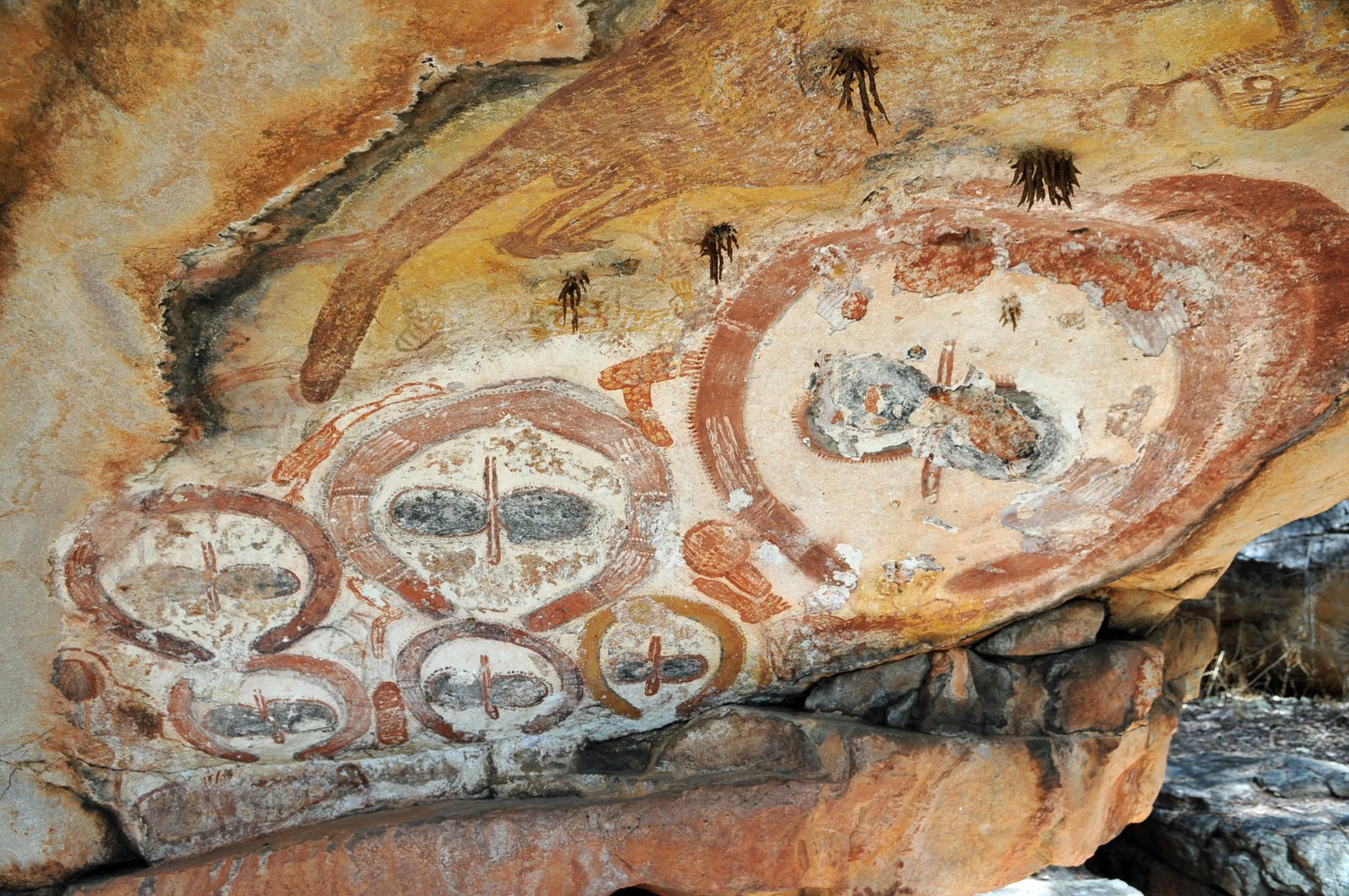
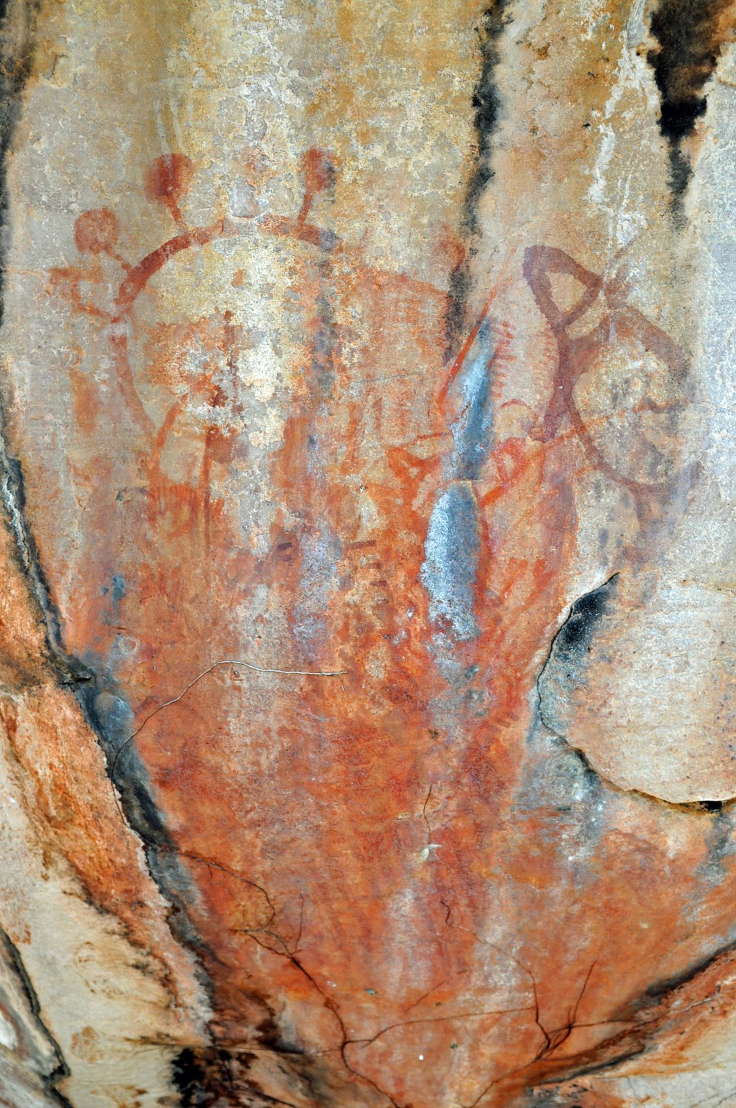
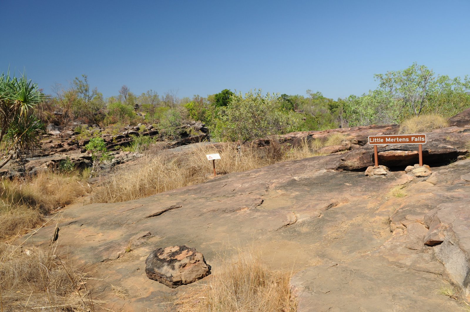
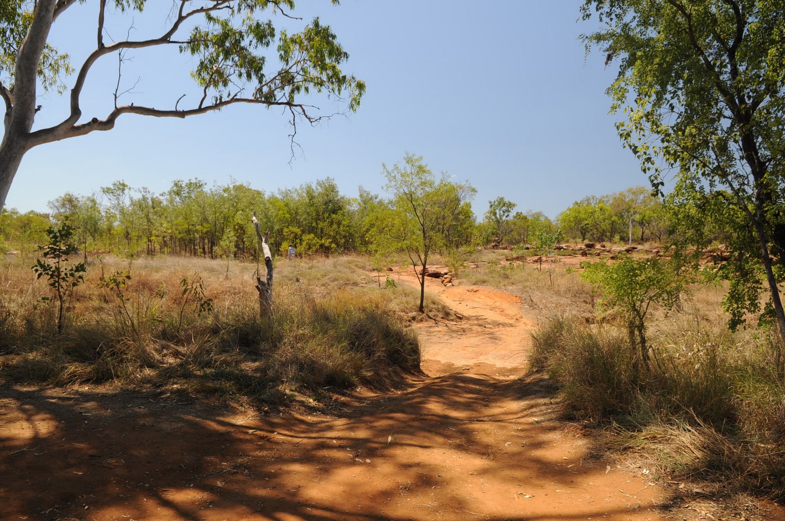
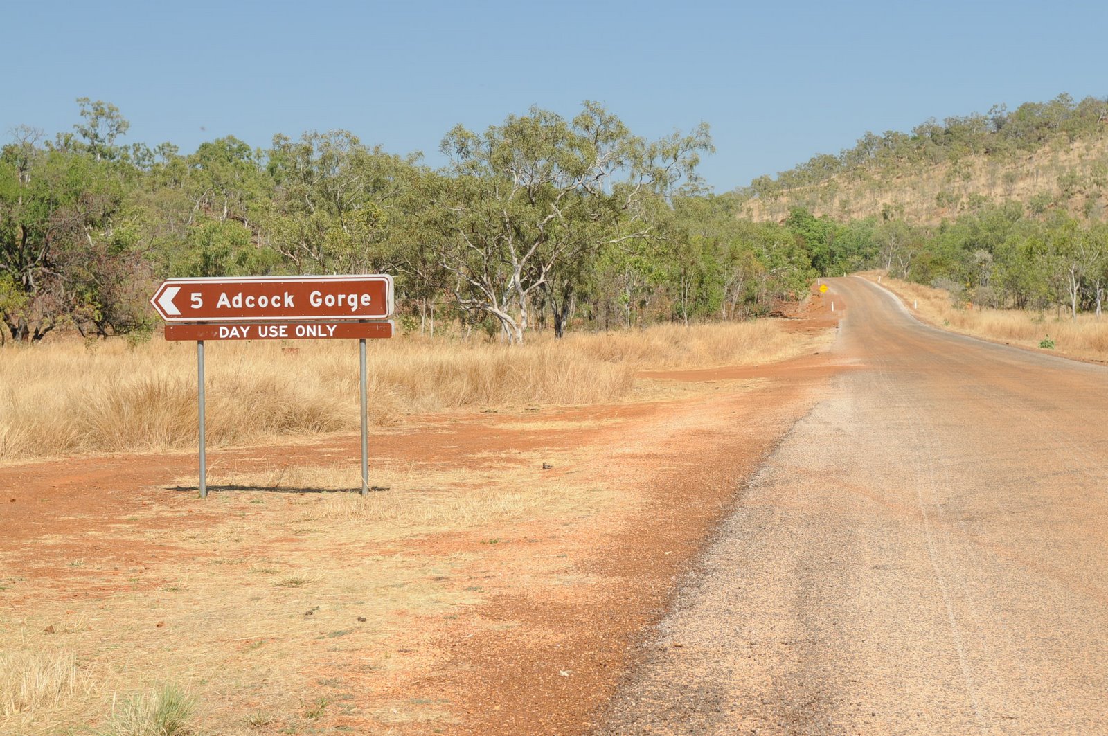
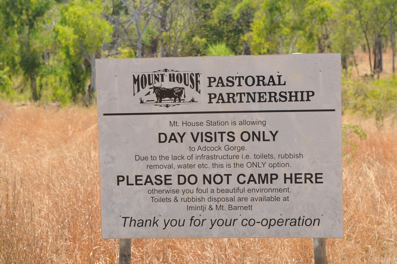
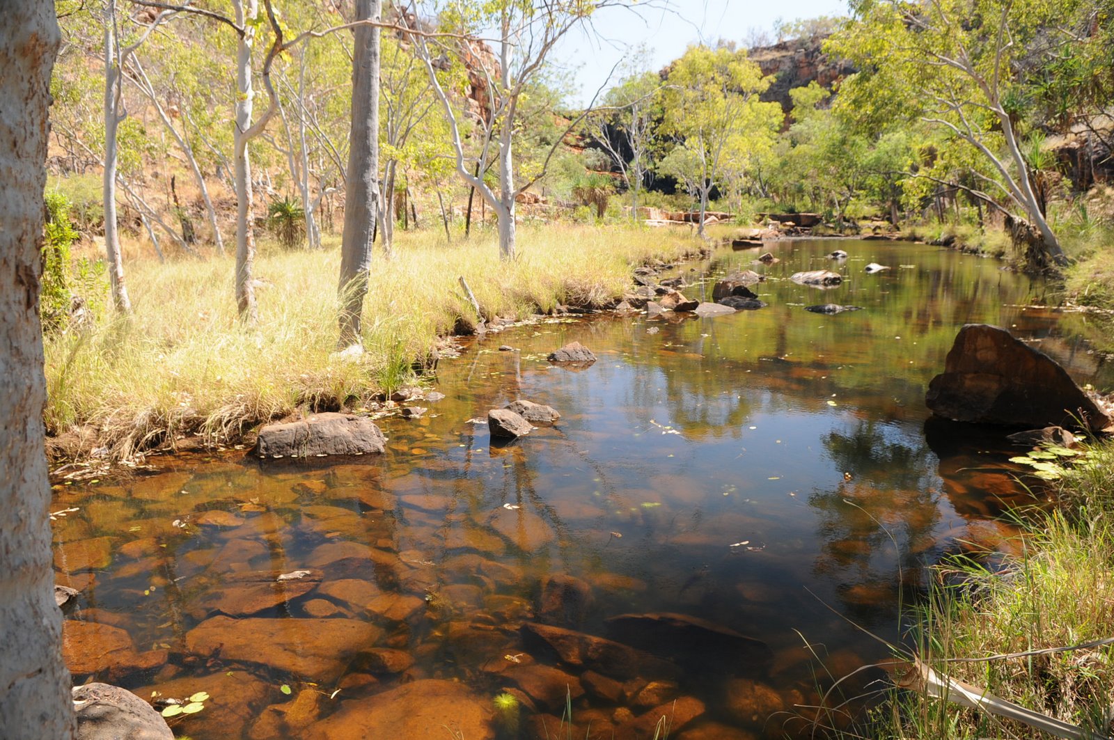
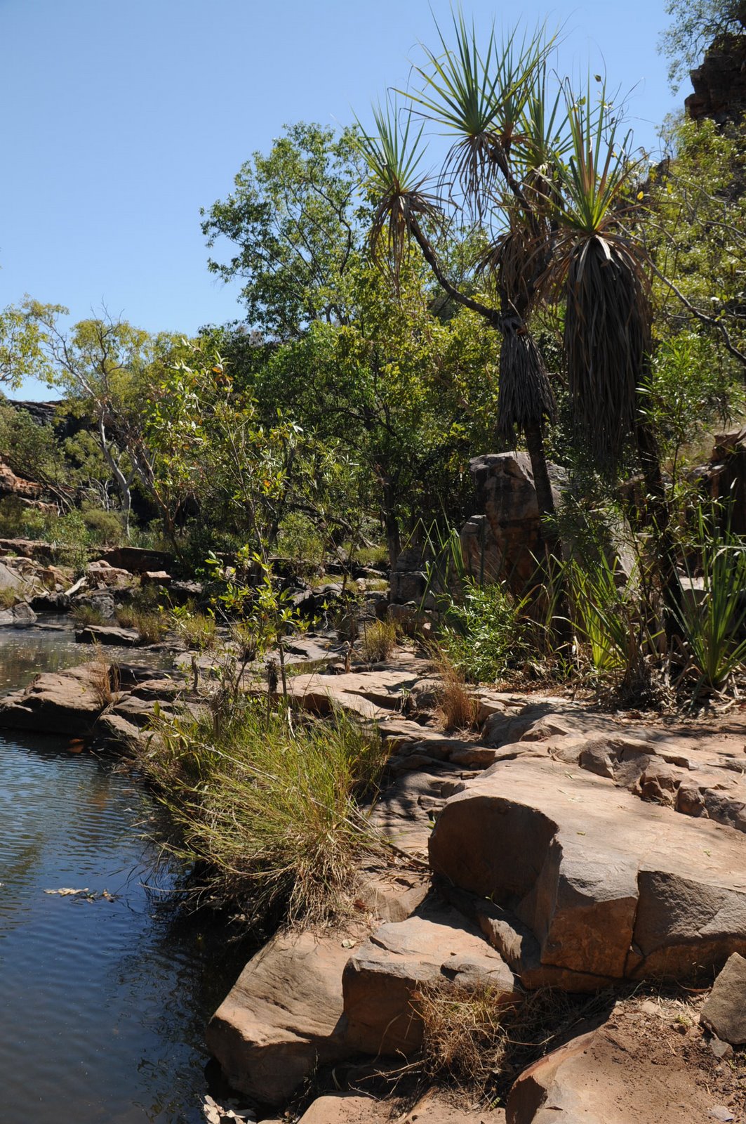
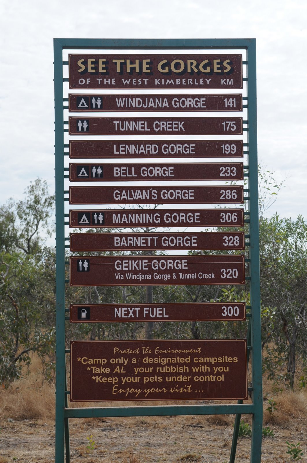
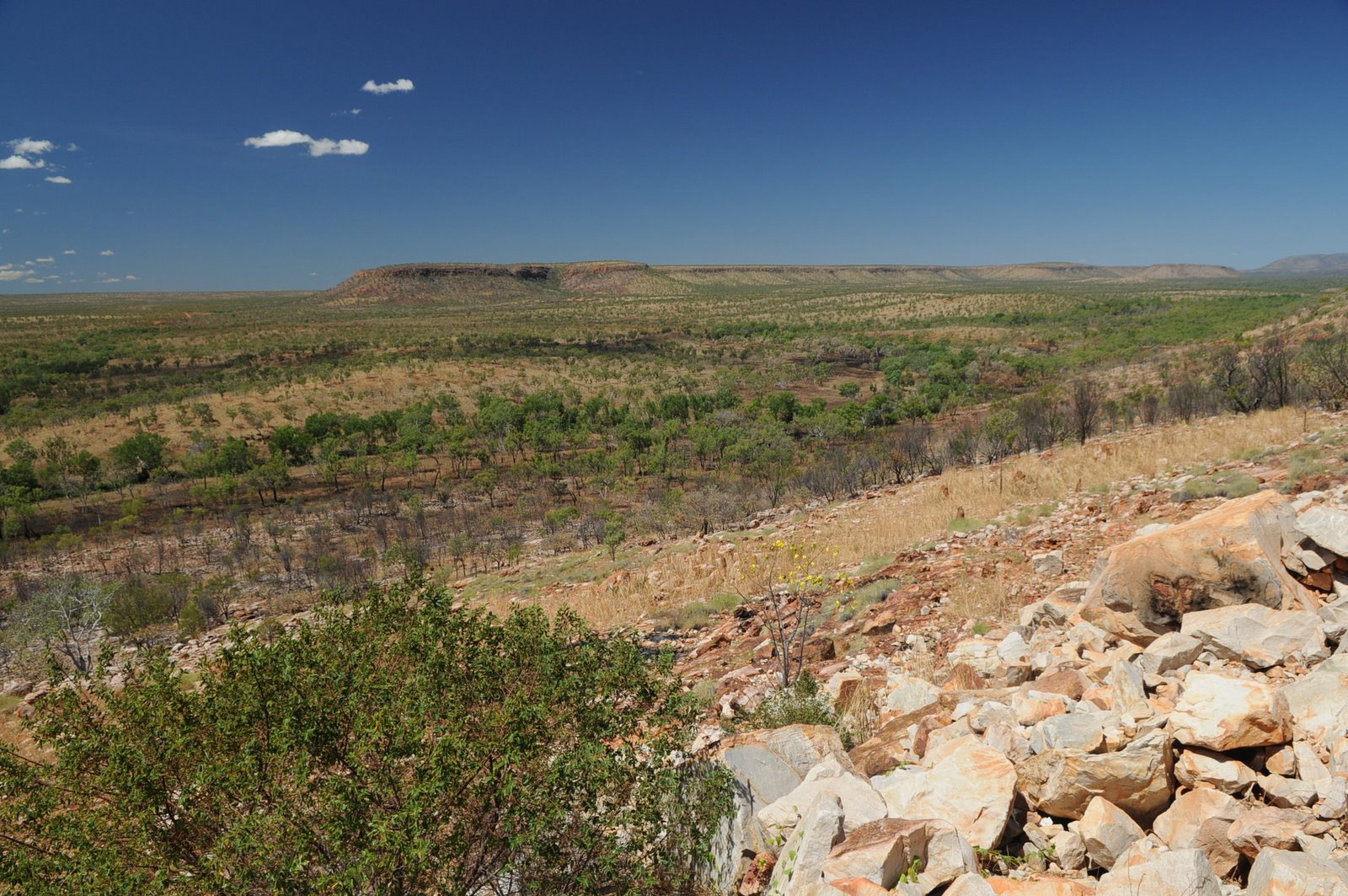
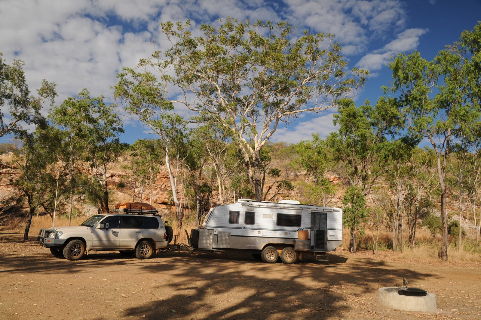
From Manning Gorge we drove to Adcock Gorge which was another one of the gorges that we didn’t look at on the way up. The road was definitely a 4WD track but we made it into the gorge which was quite small but worth the look.
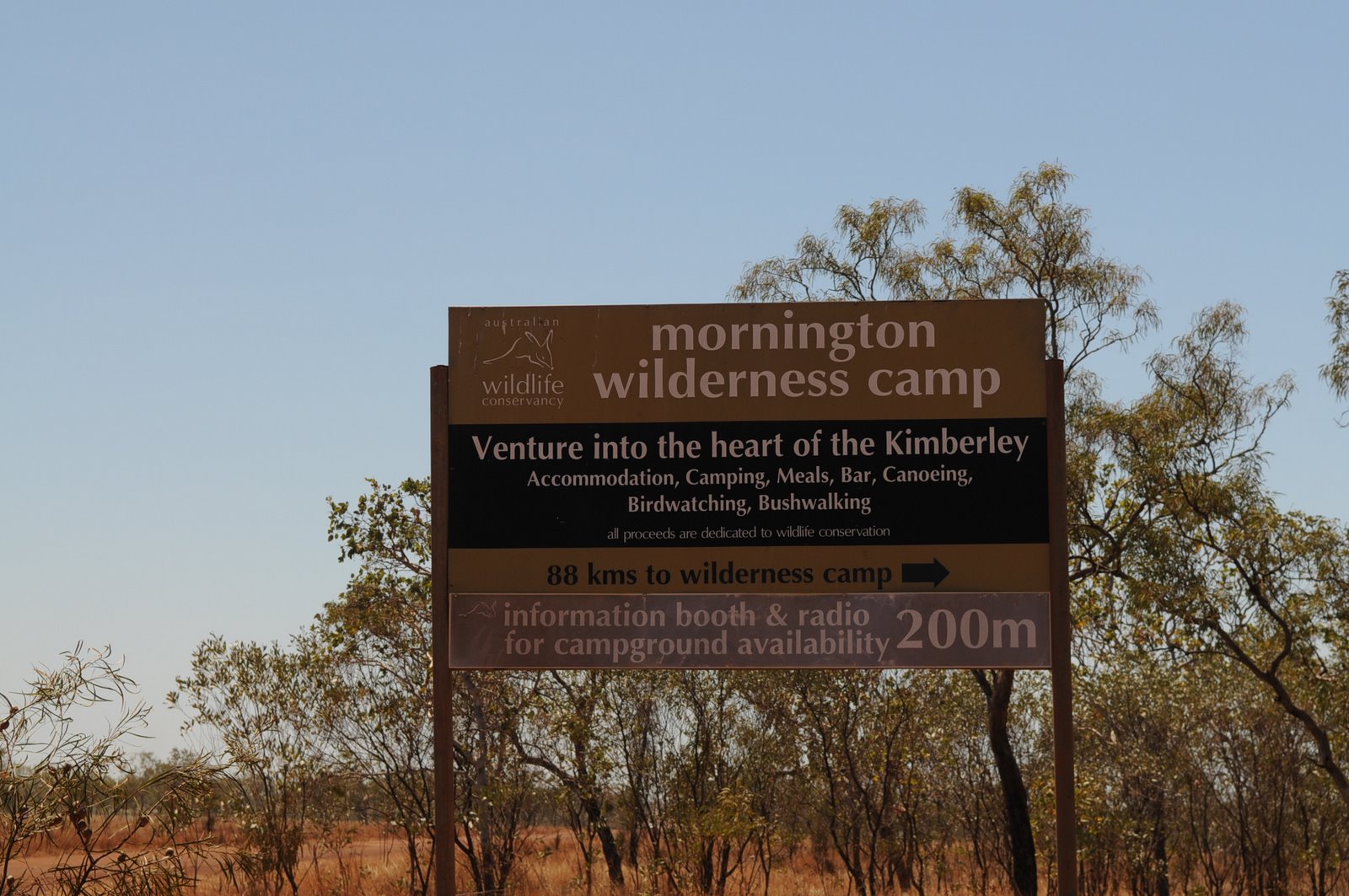
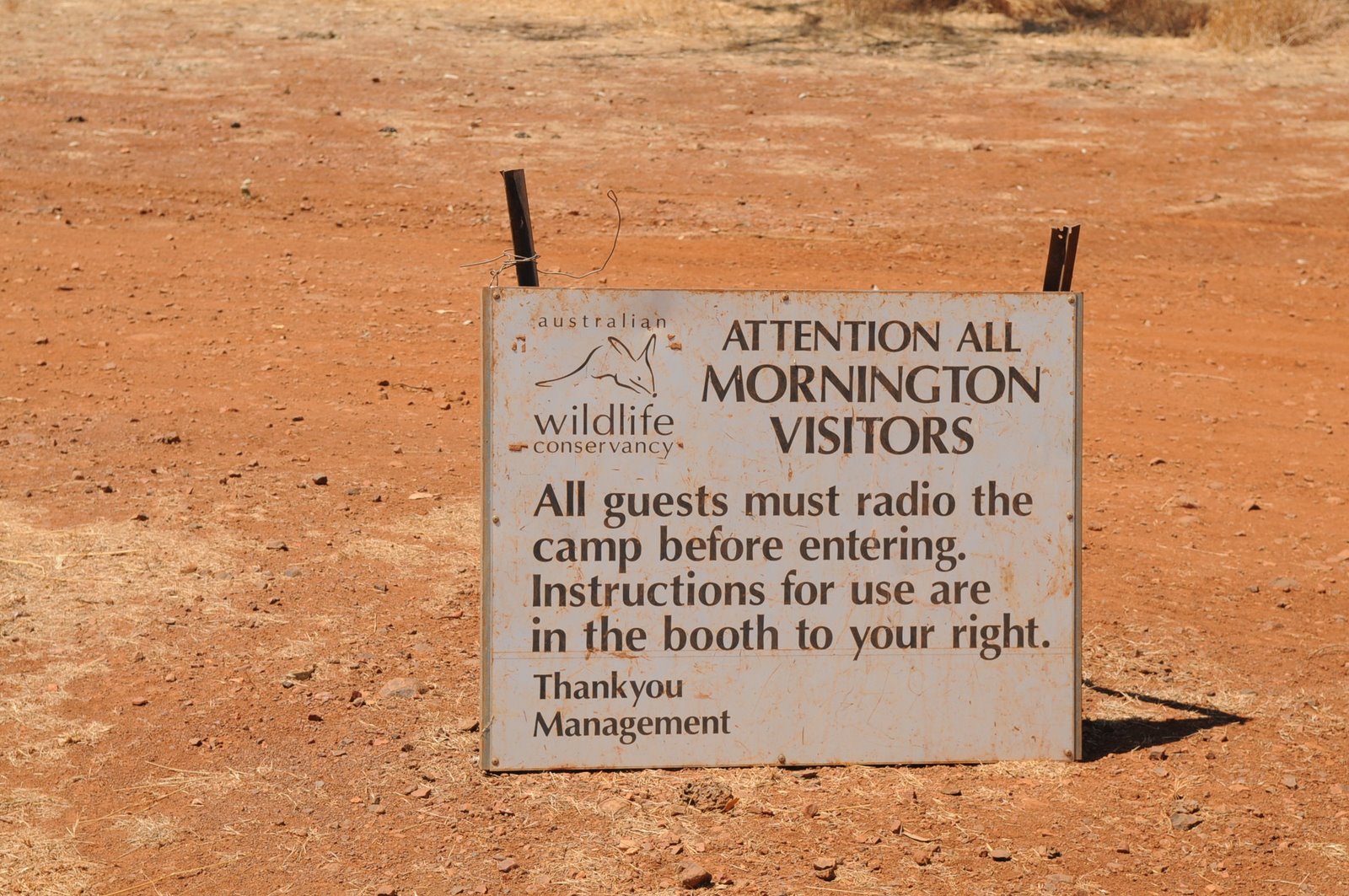
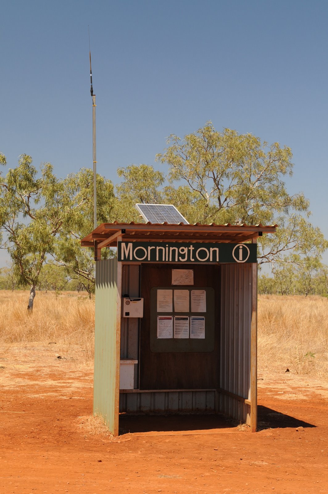
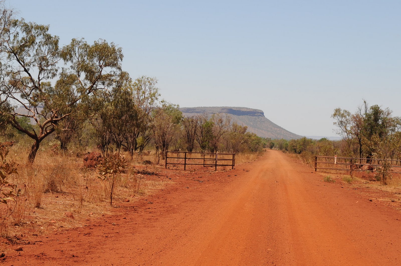
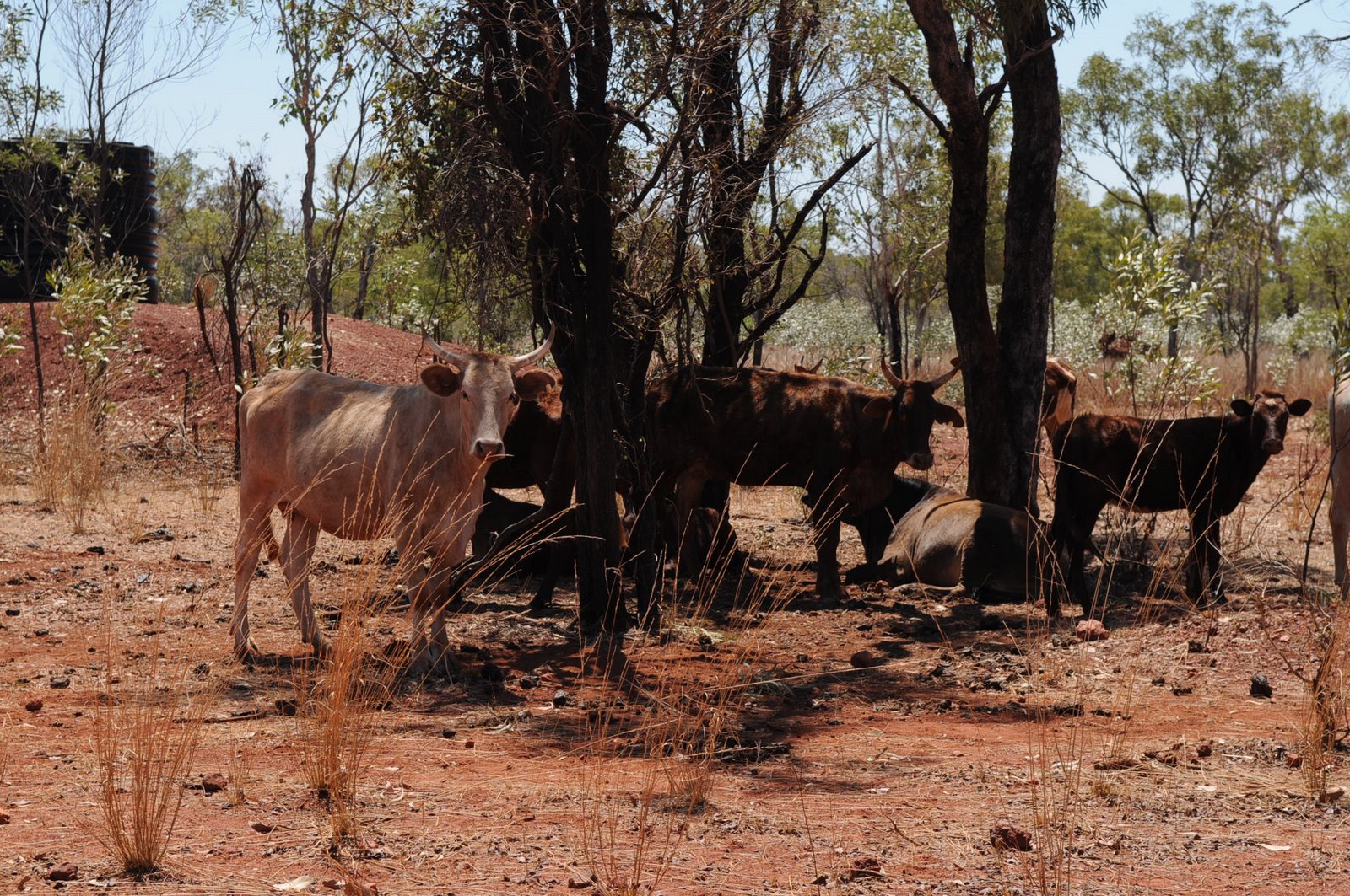
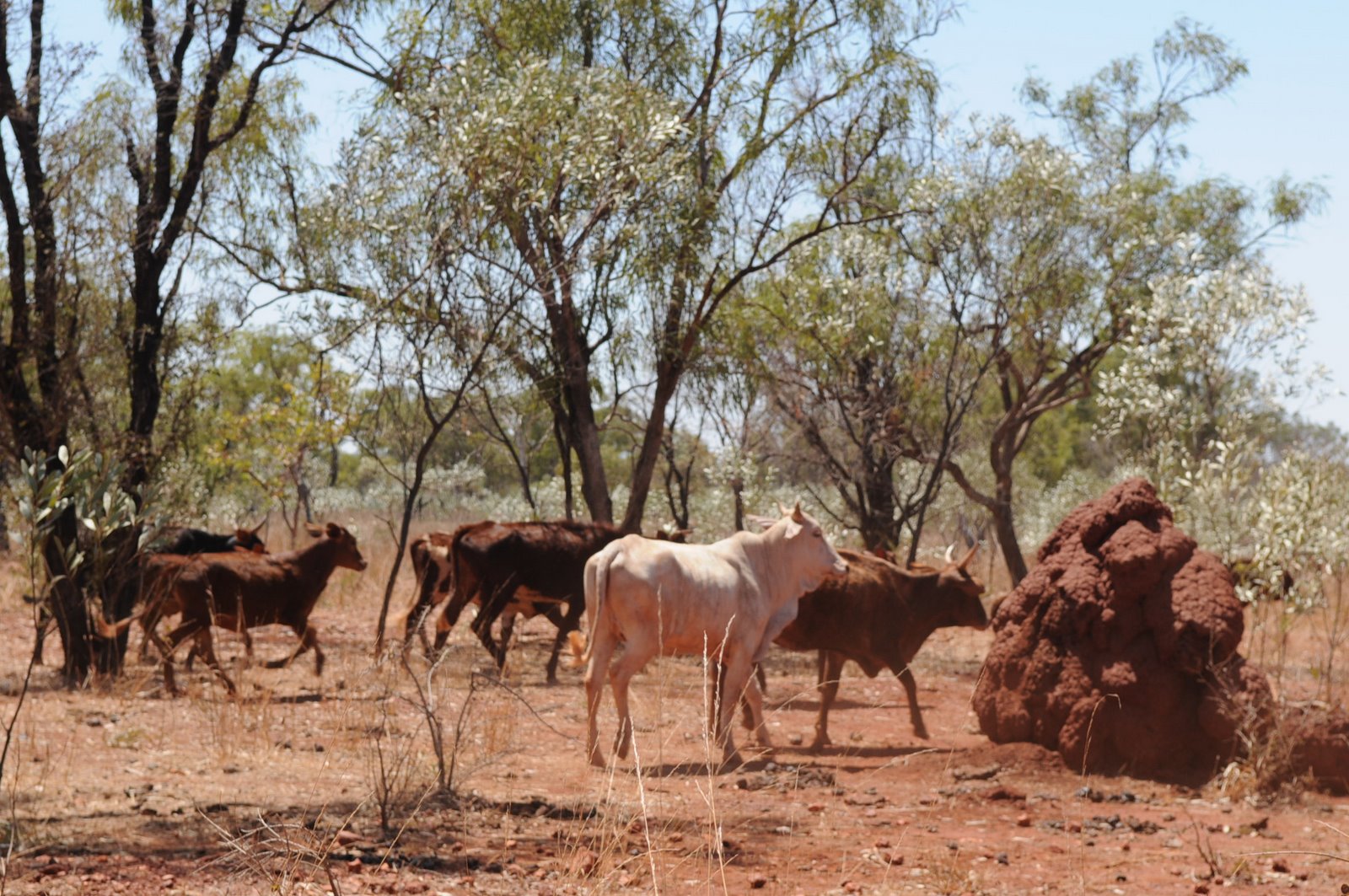
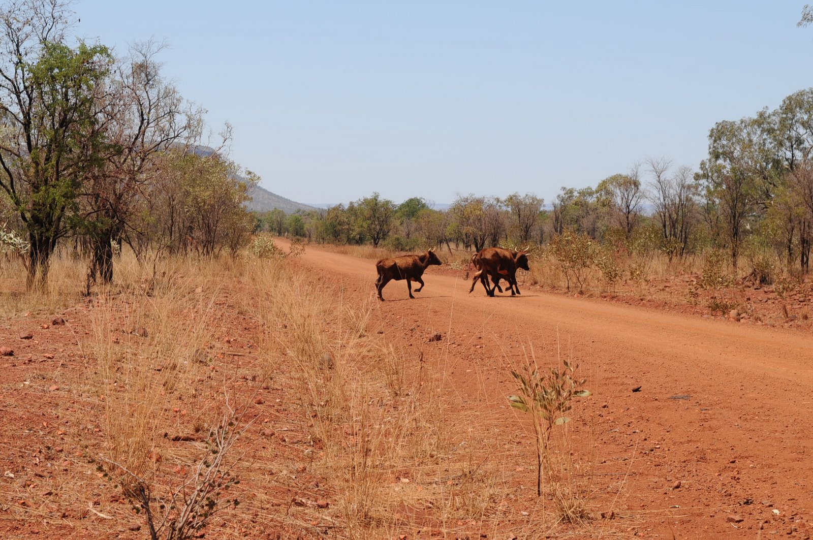
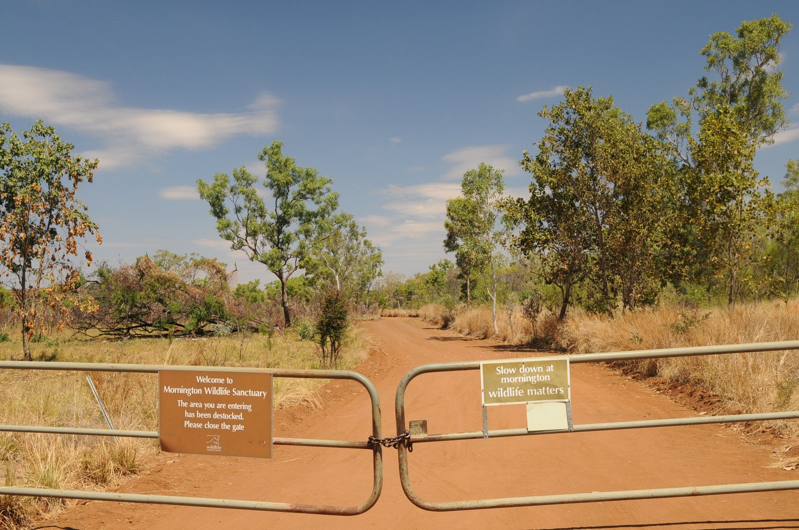
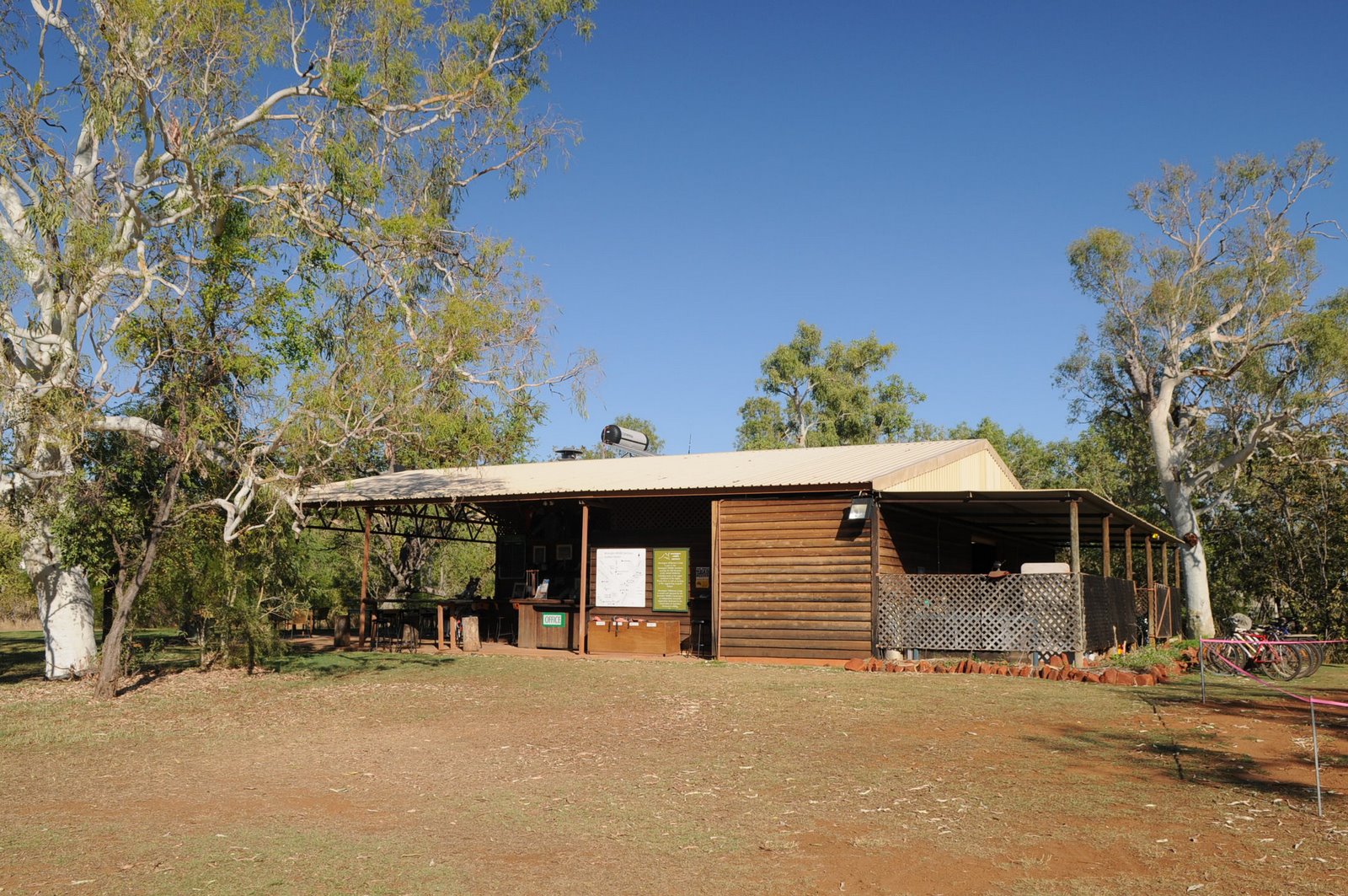
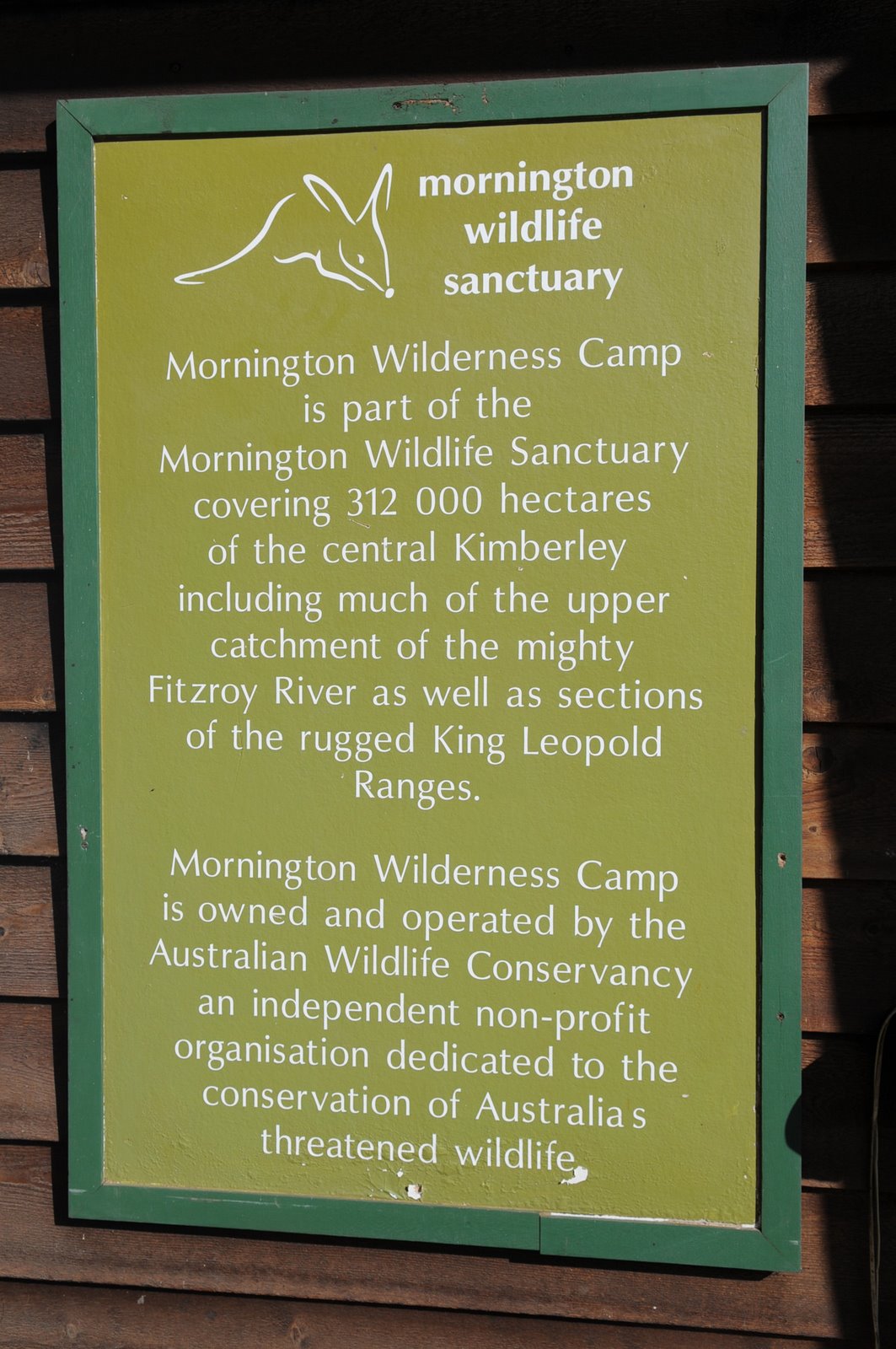
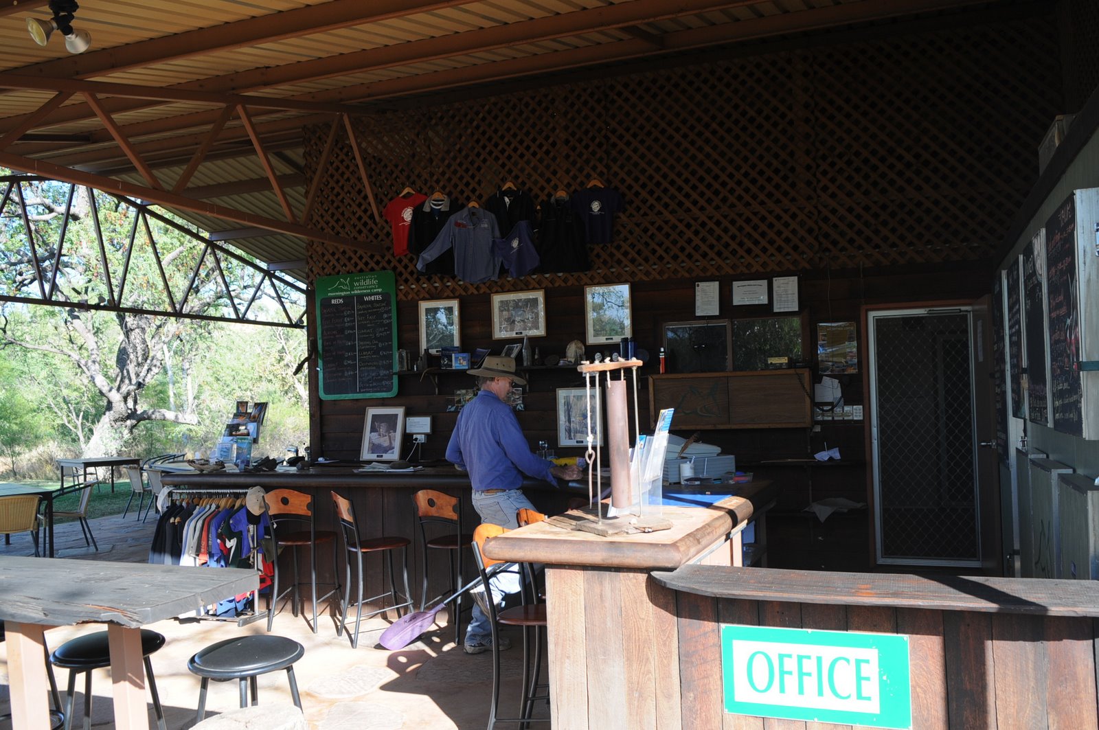
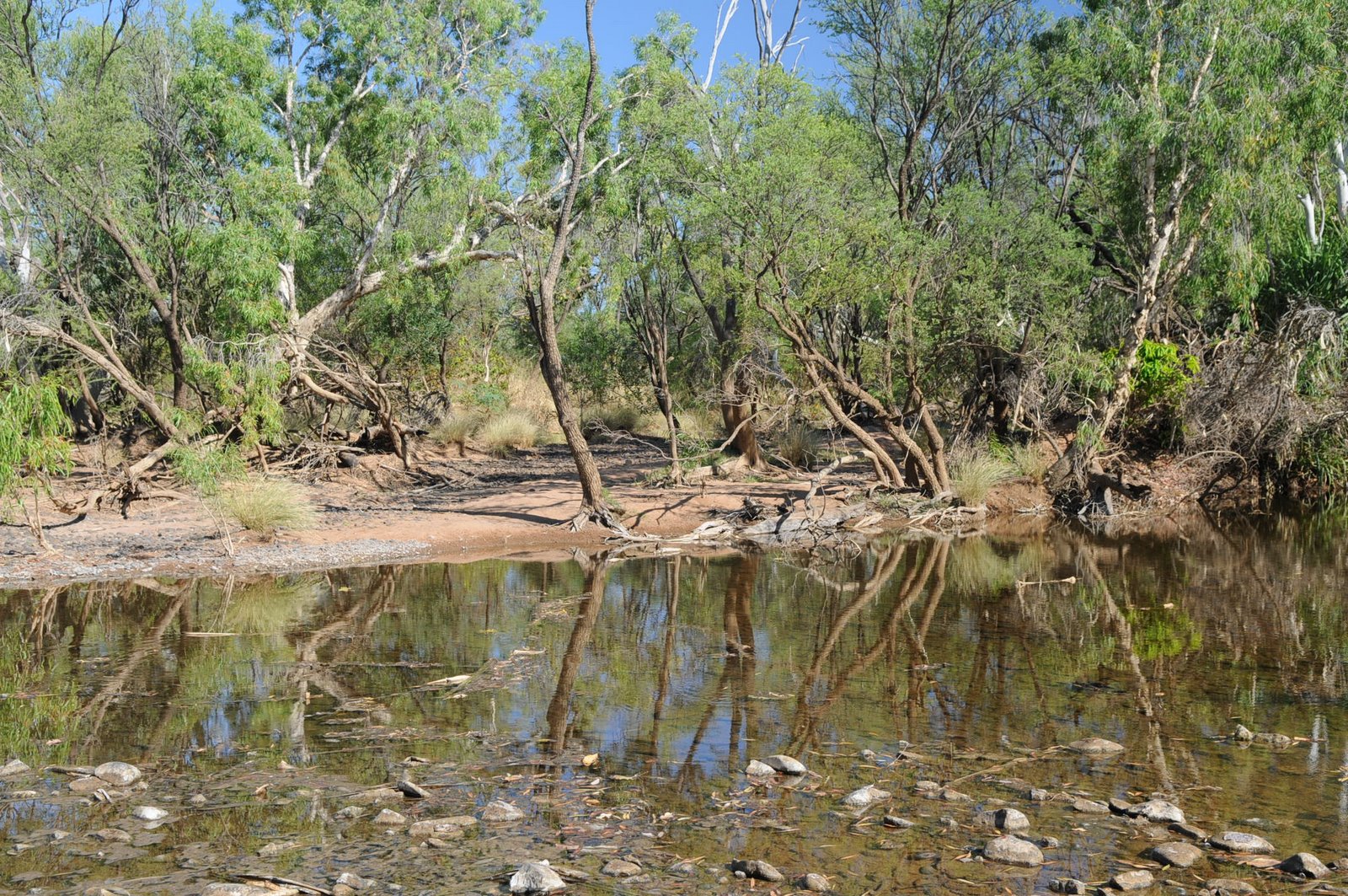
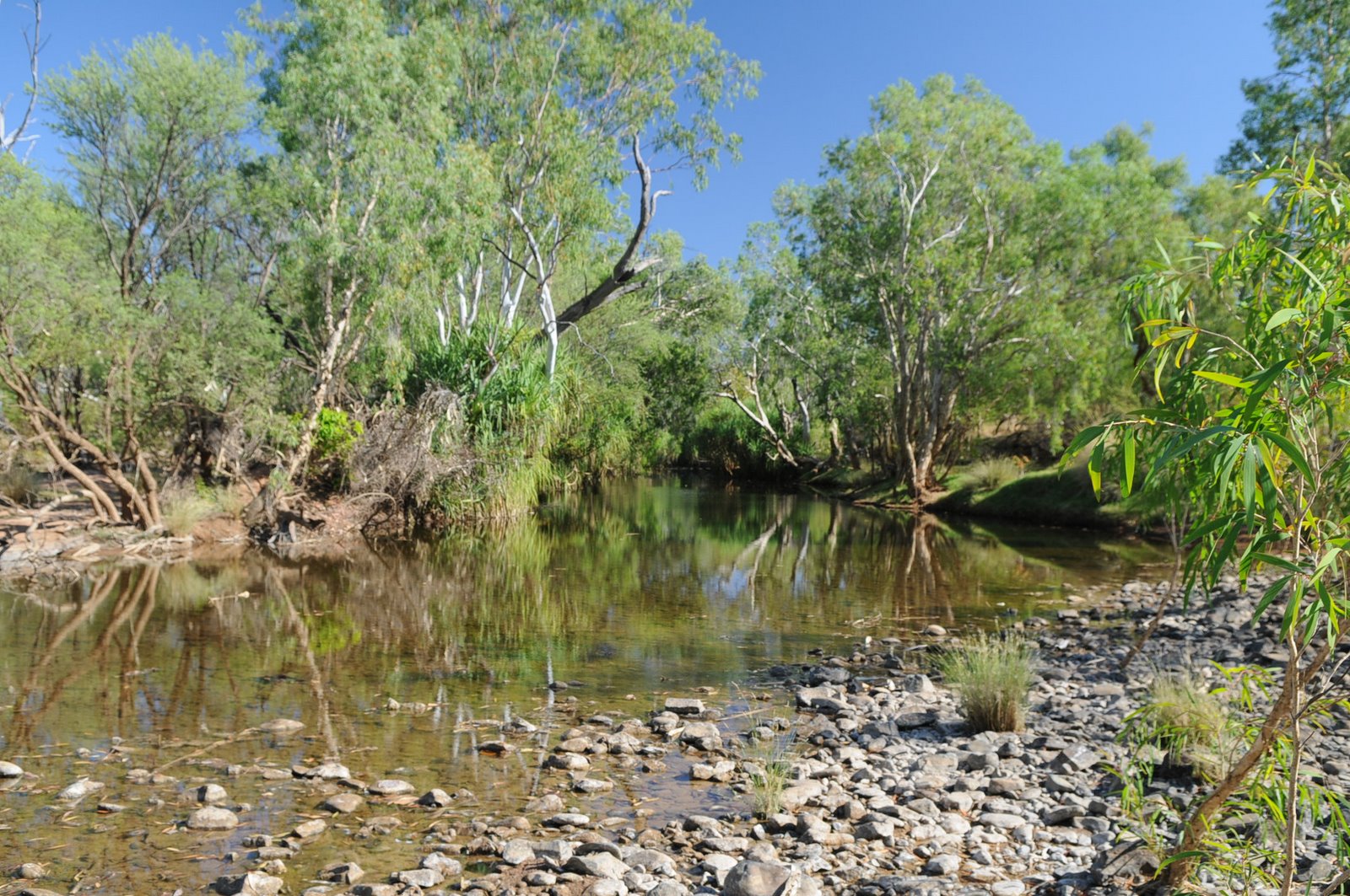
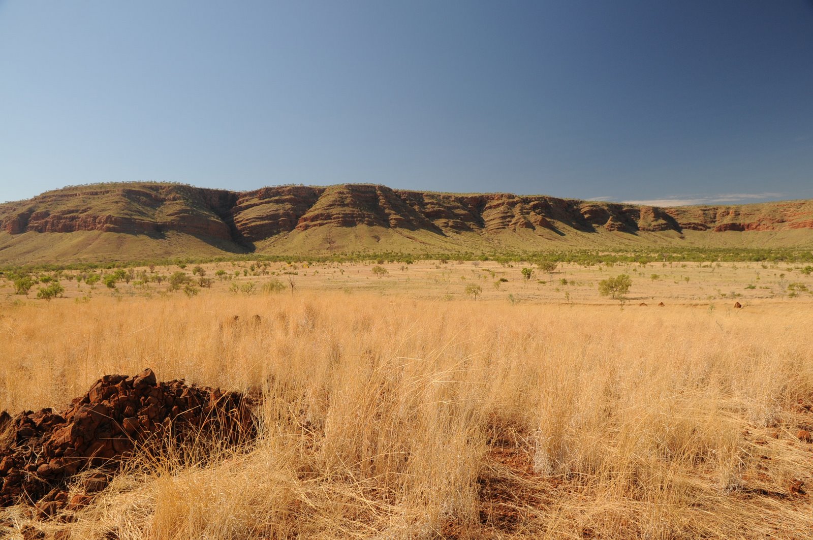
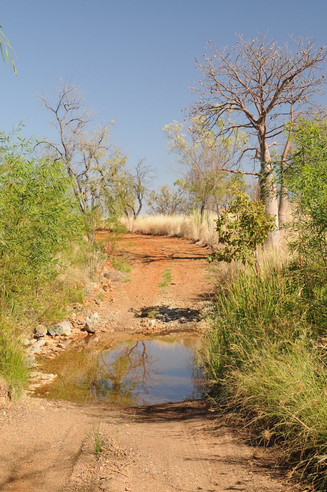
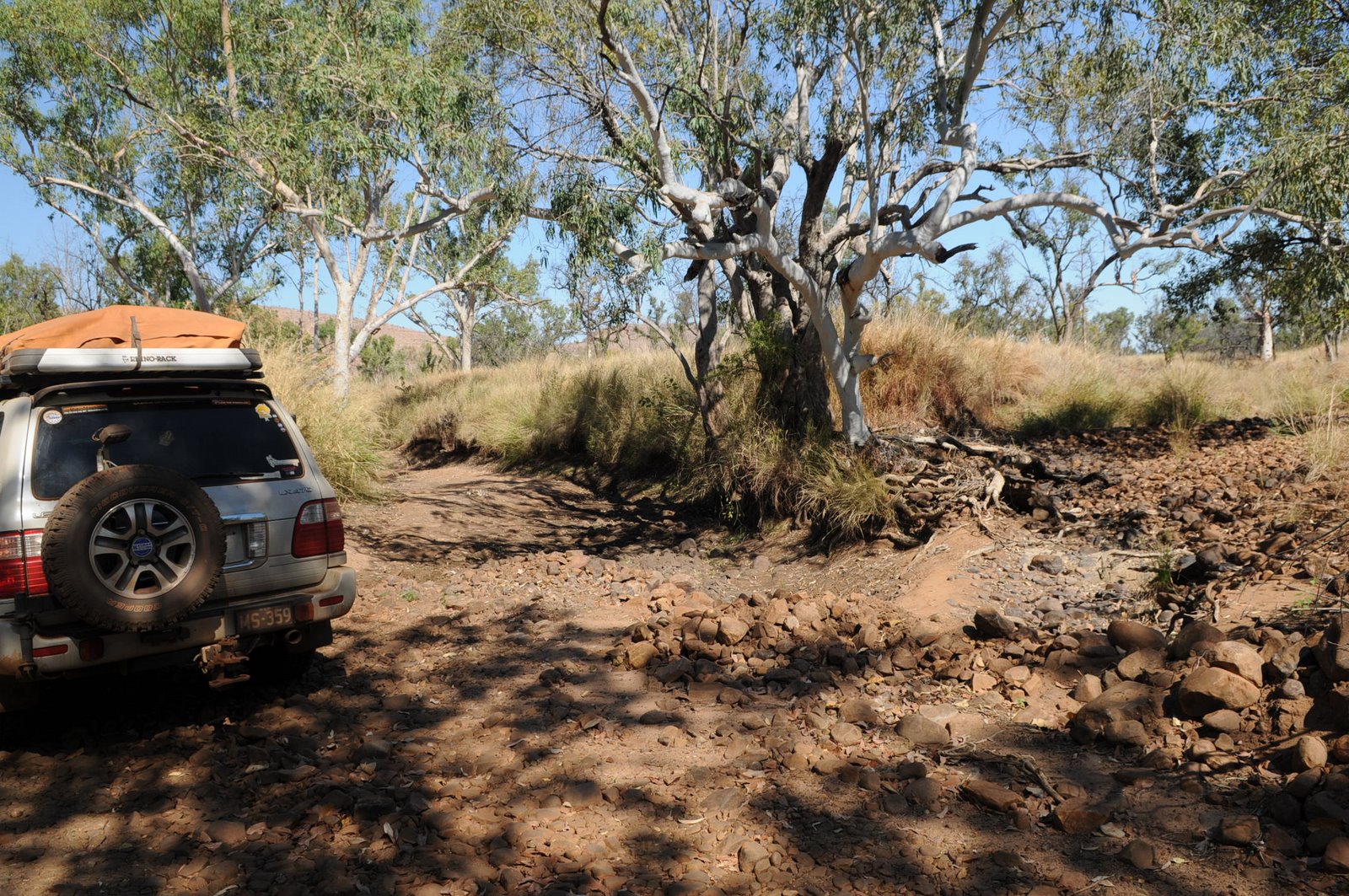
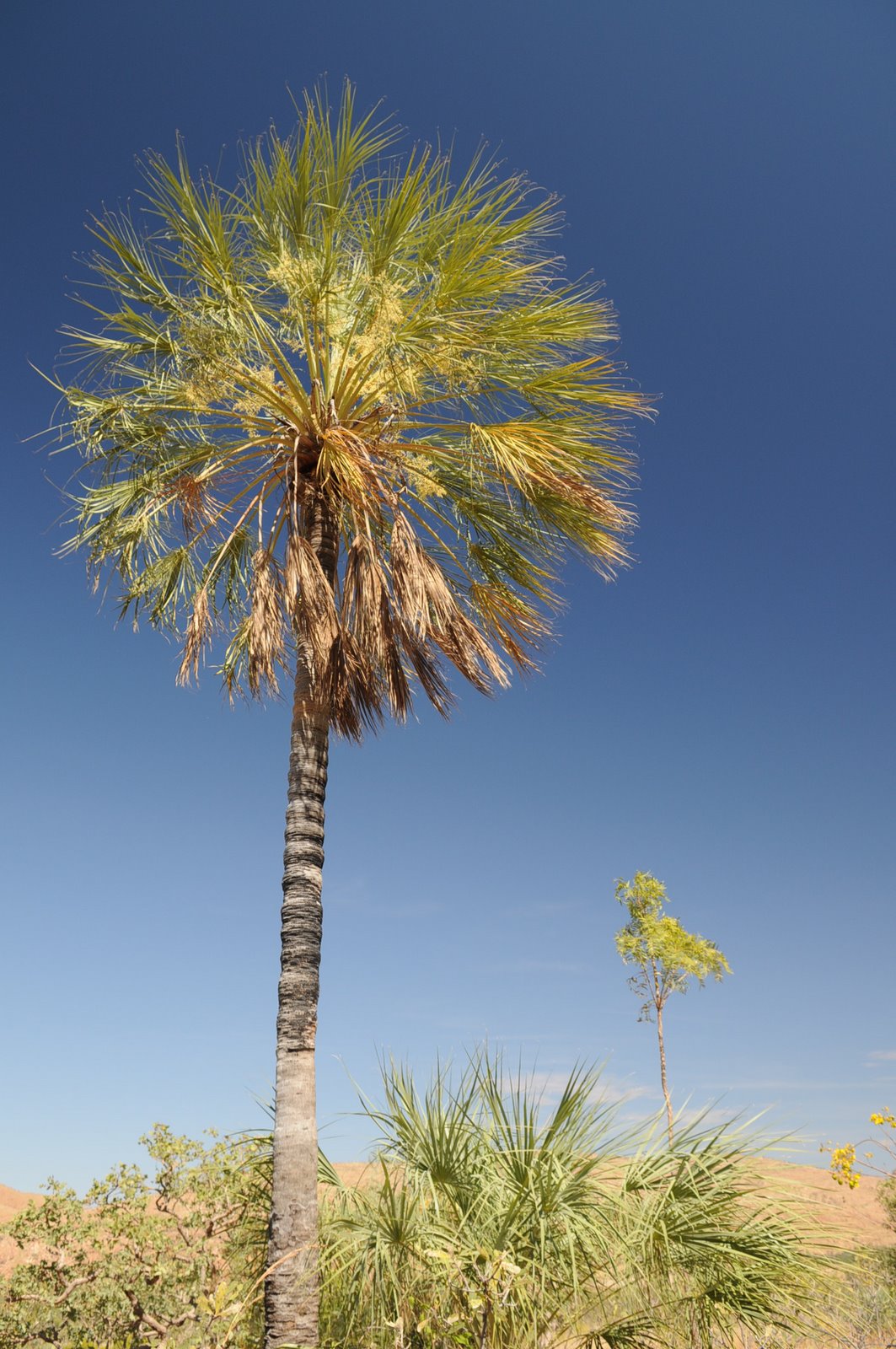
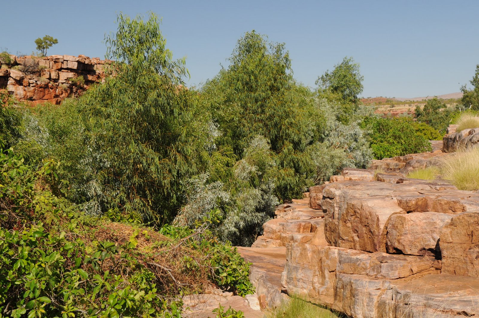
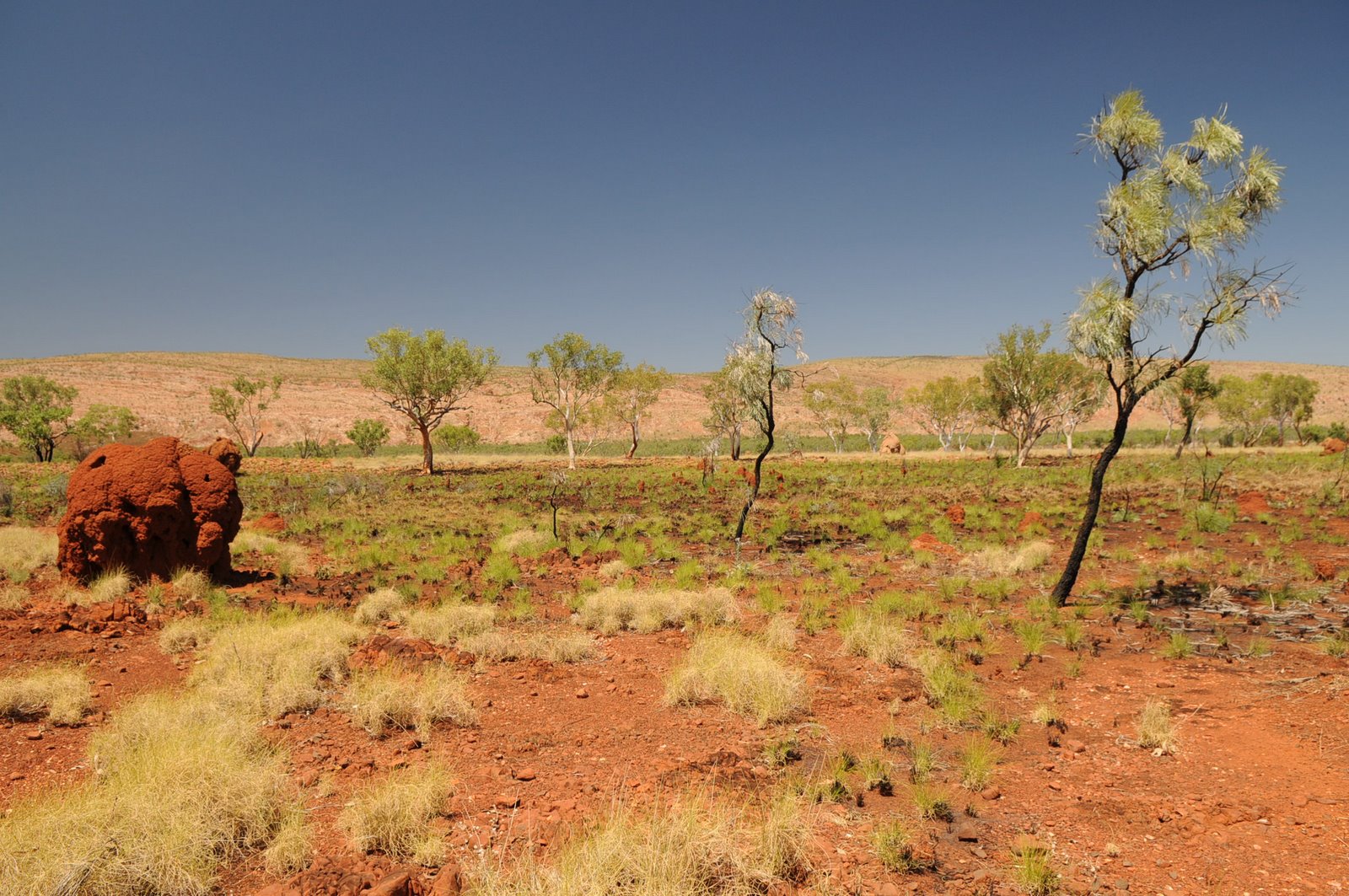
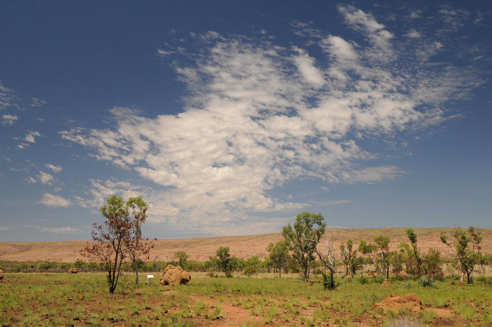
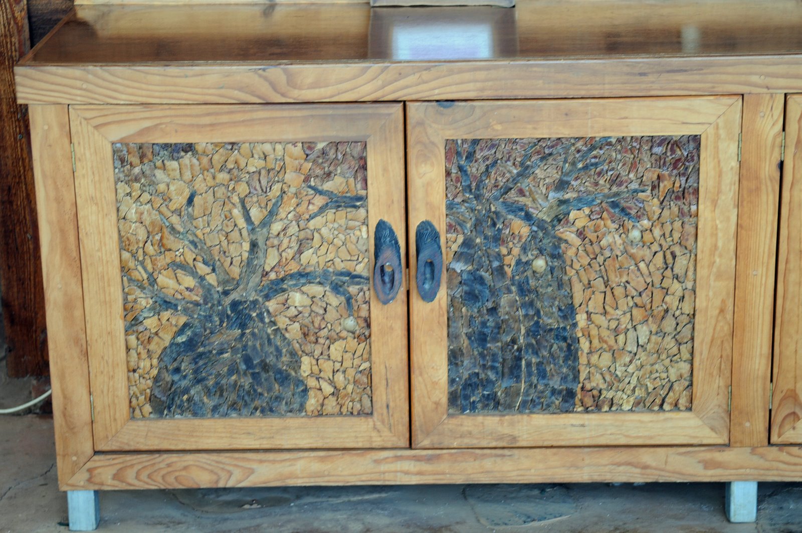
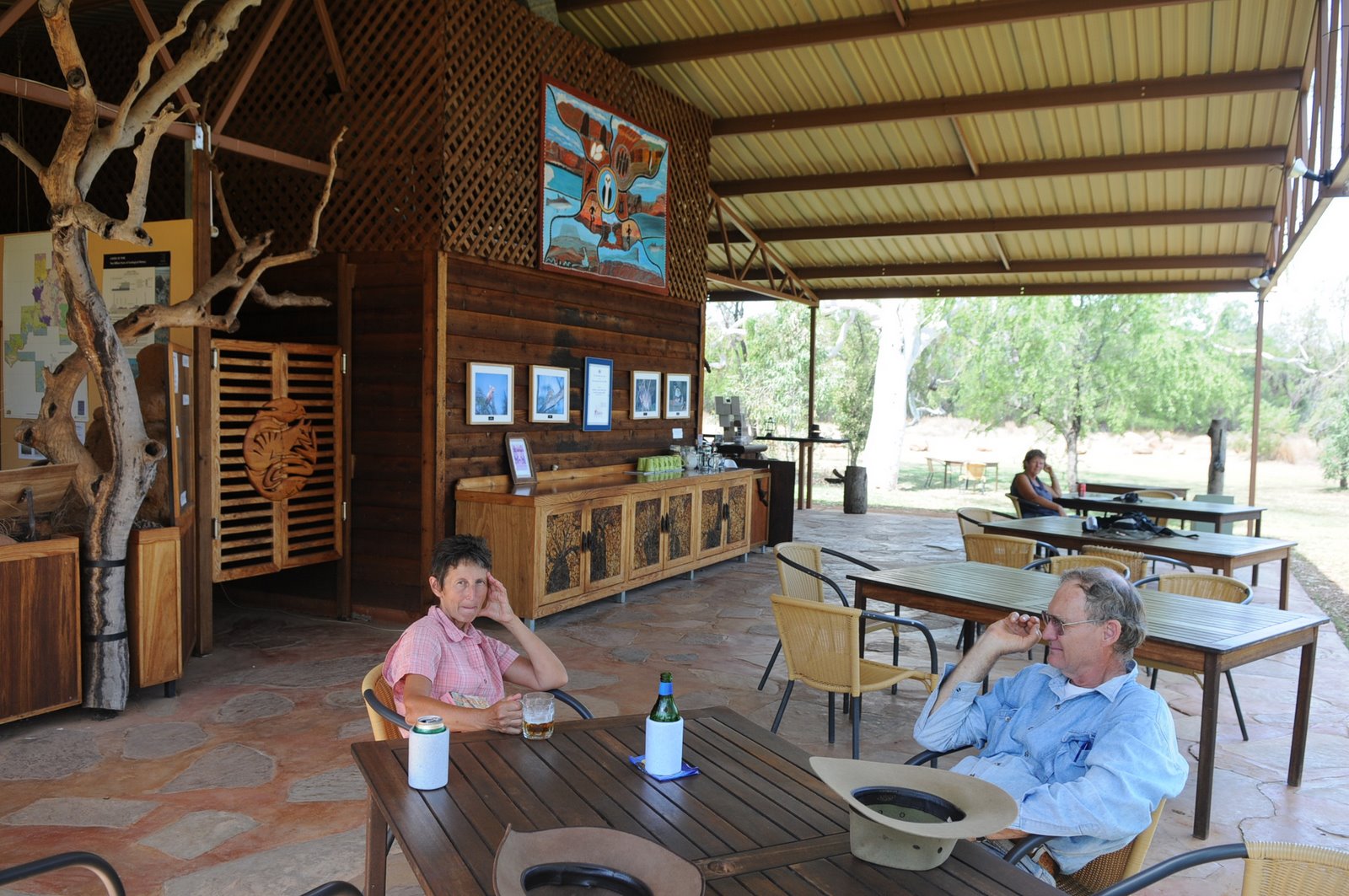
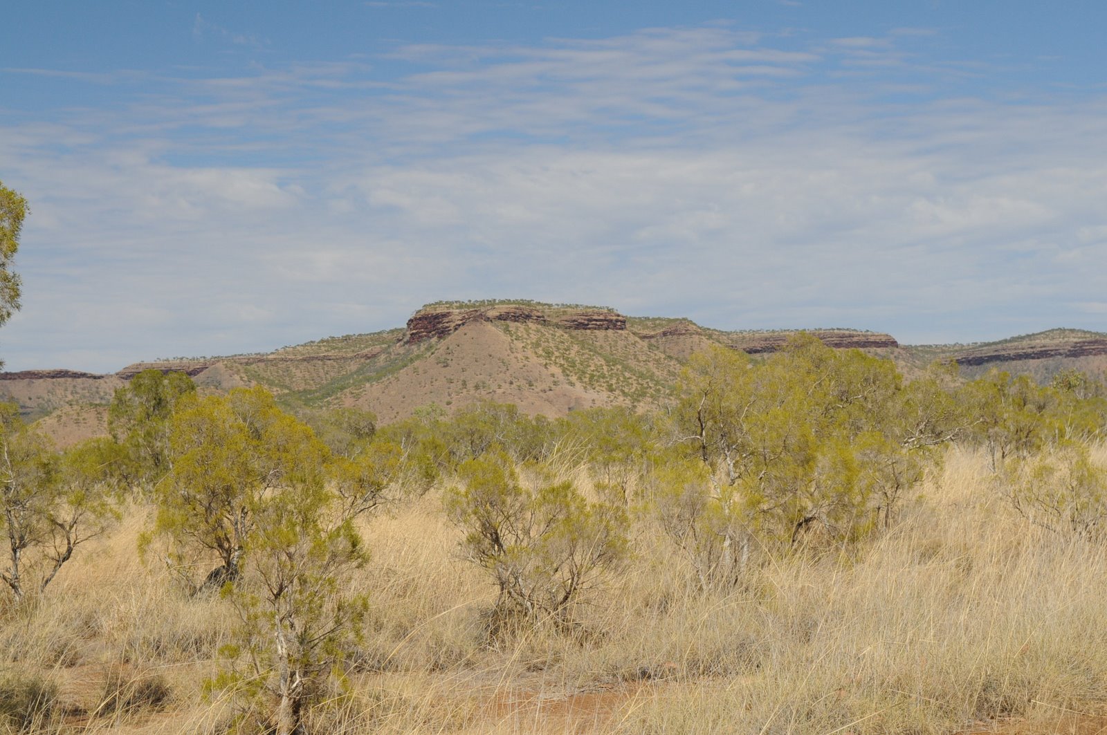
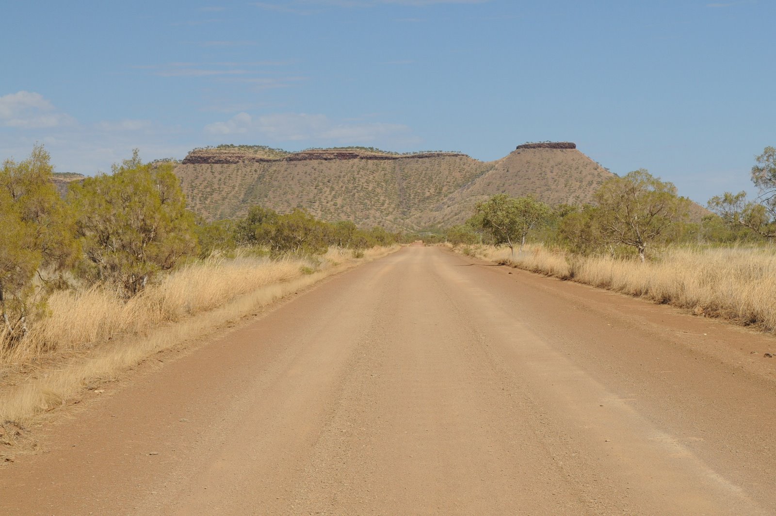
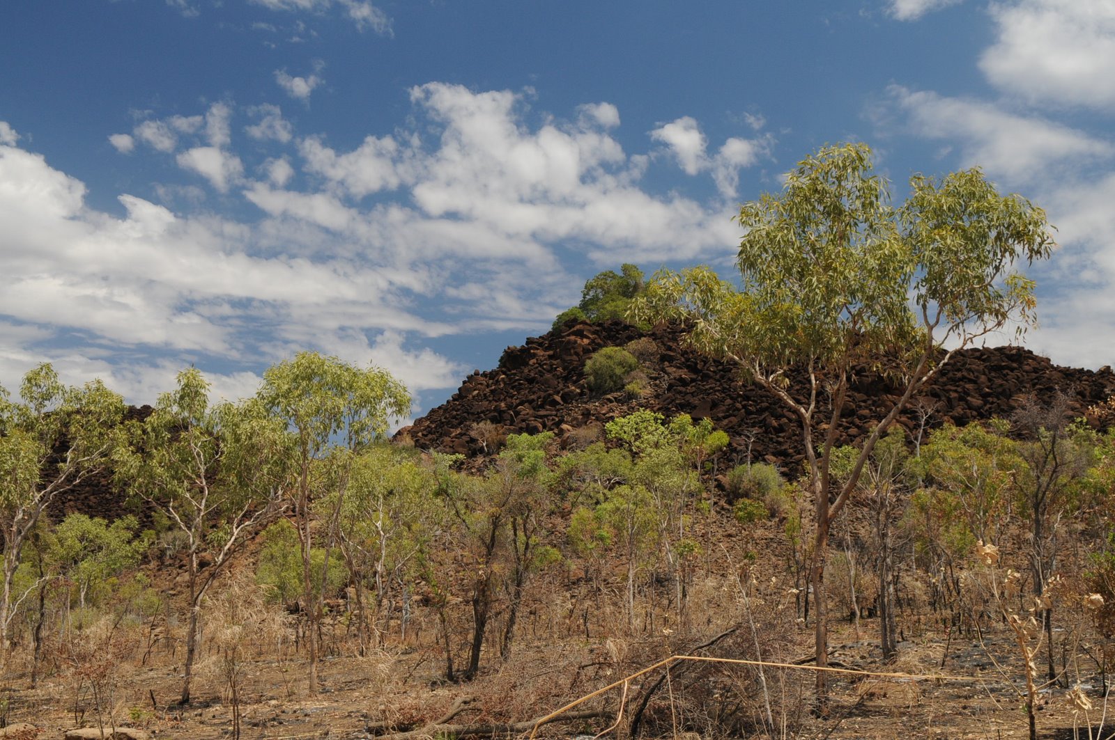
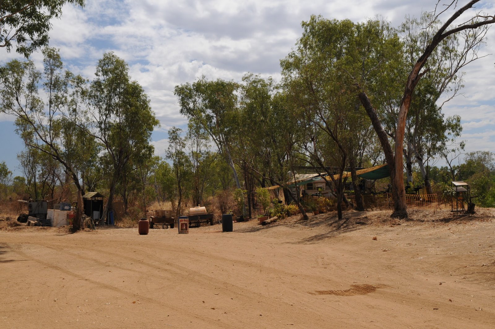
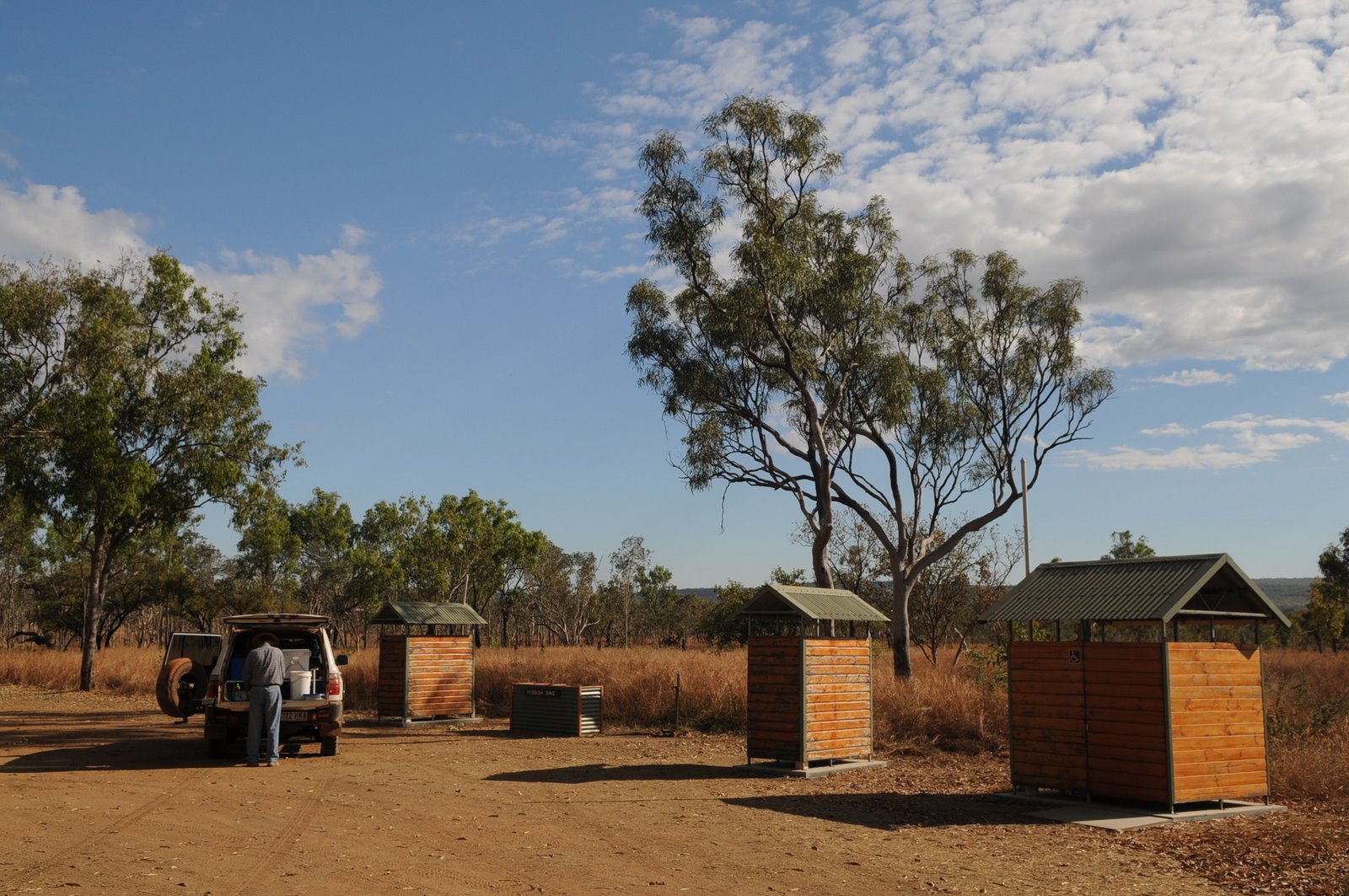
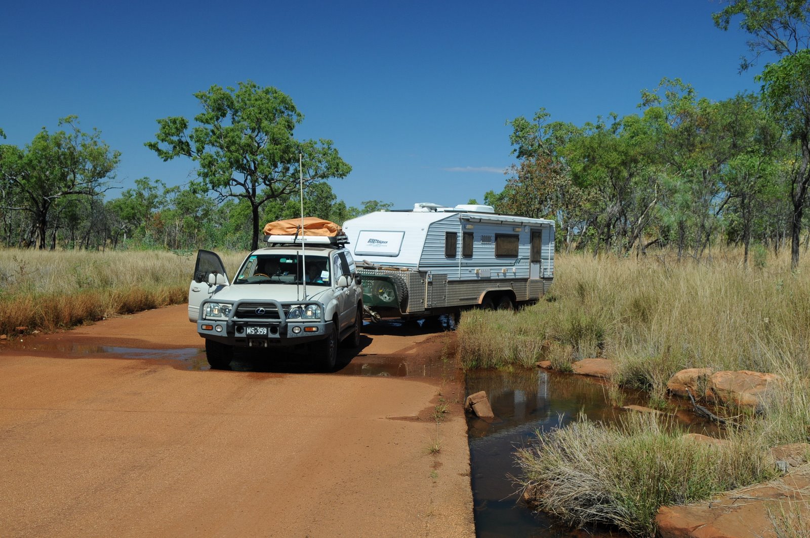
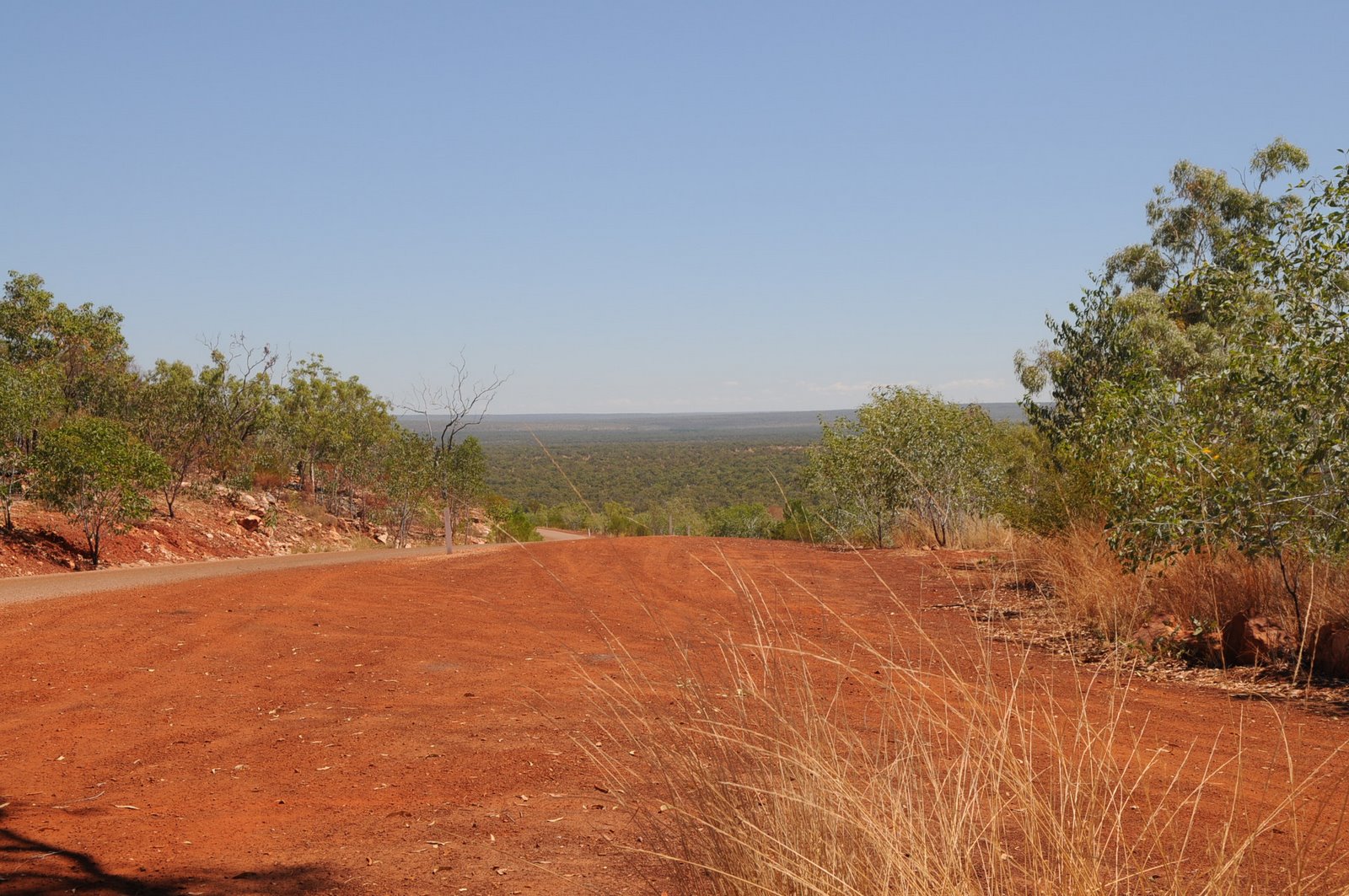
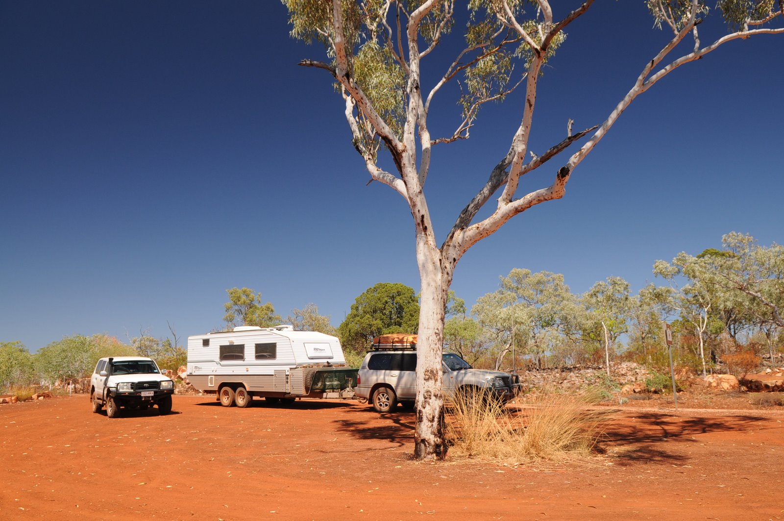
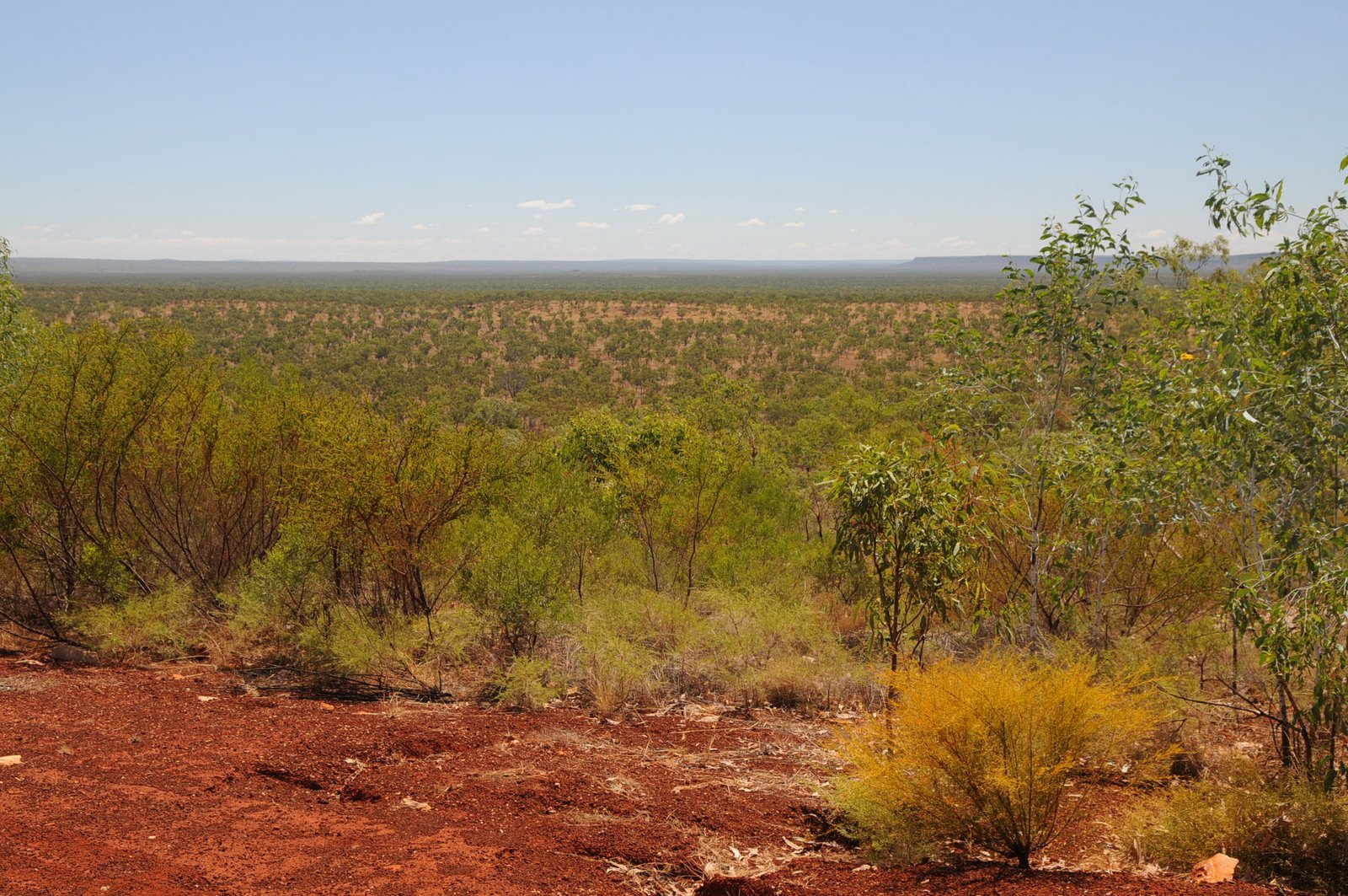
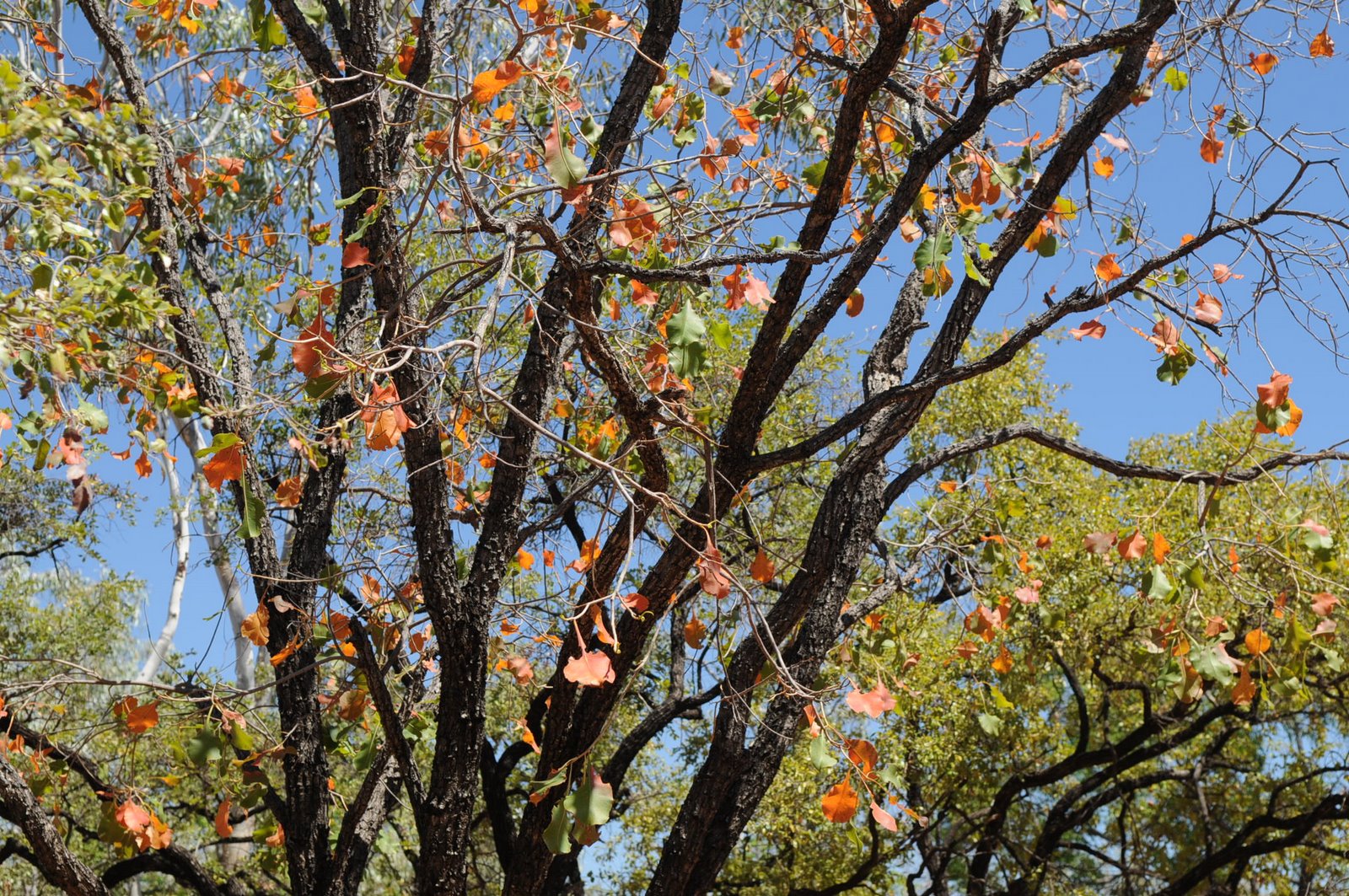
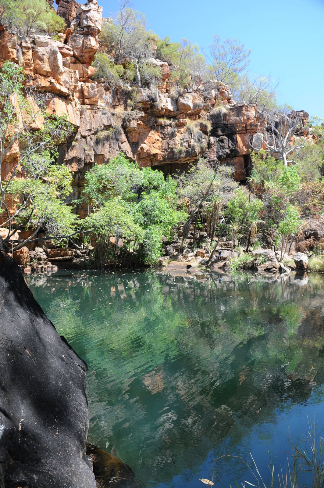
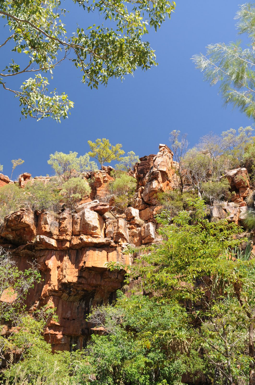
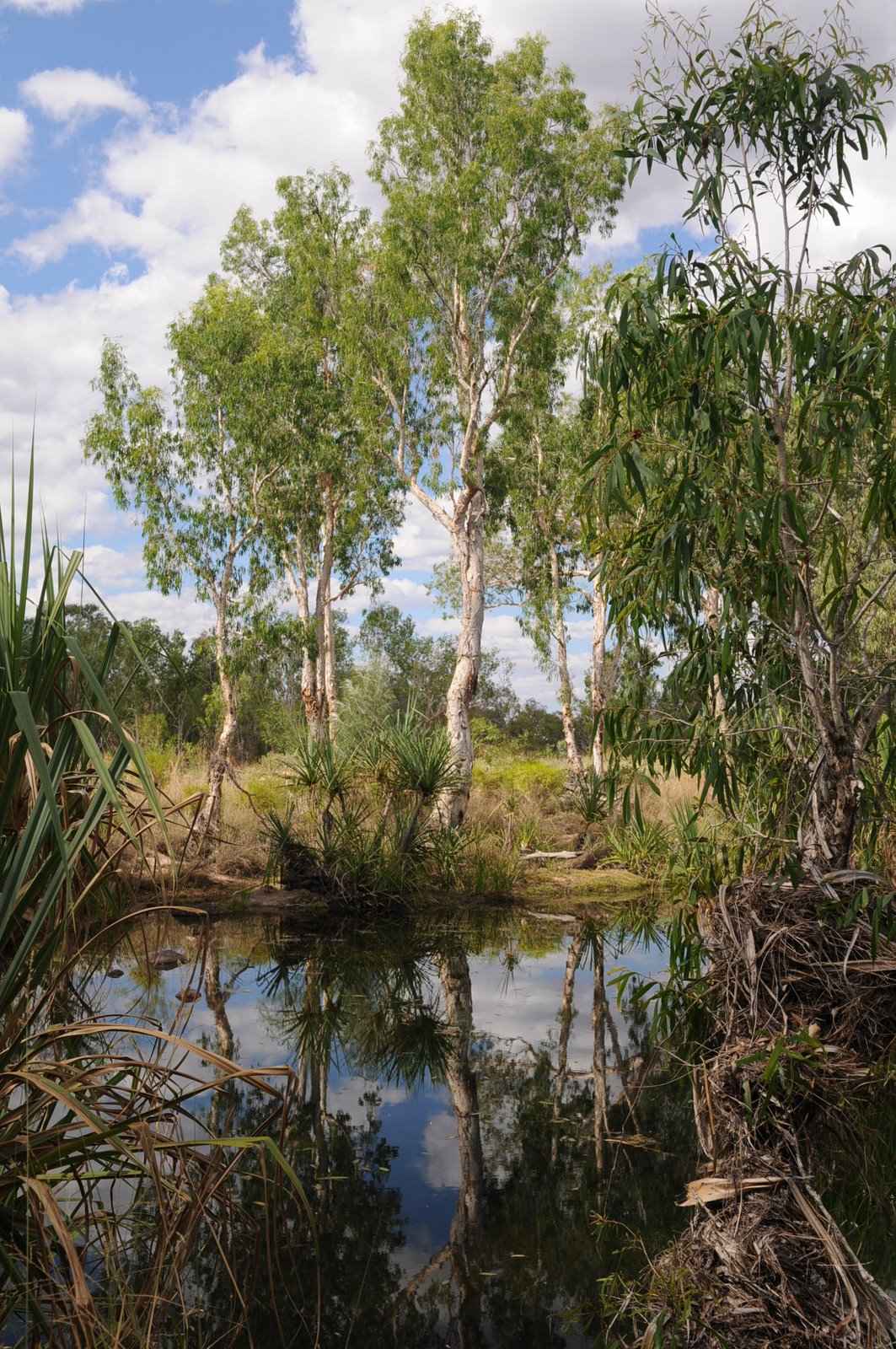
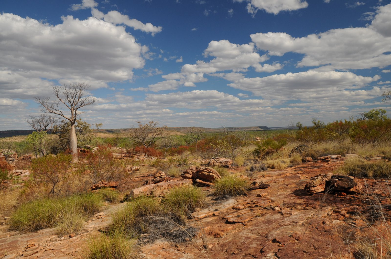
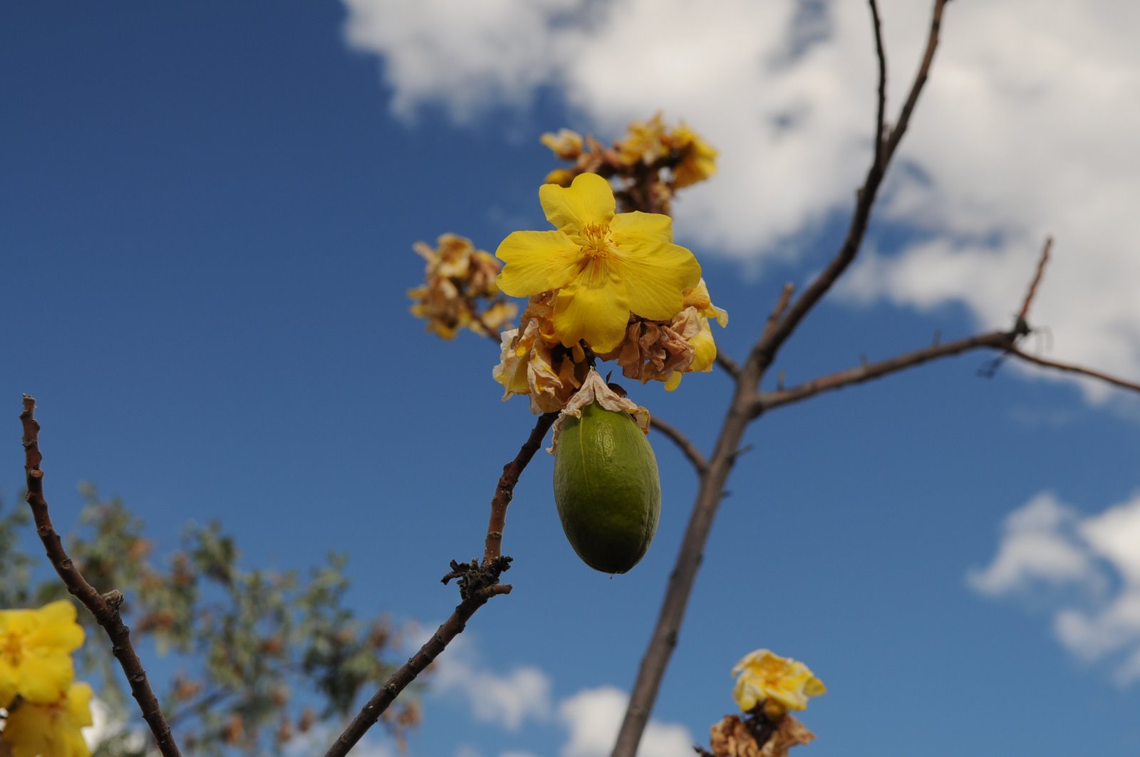
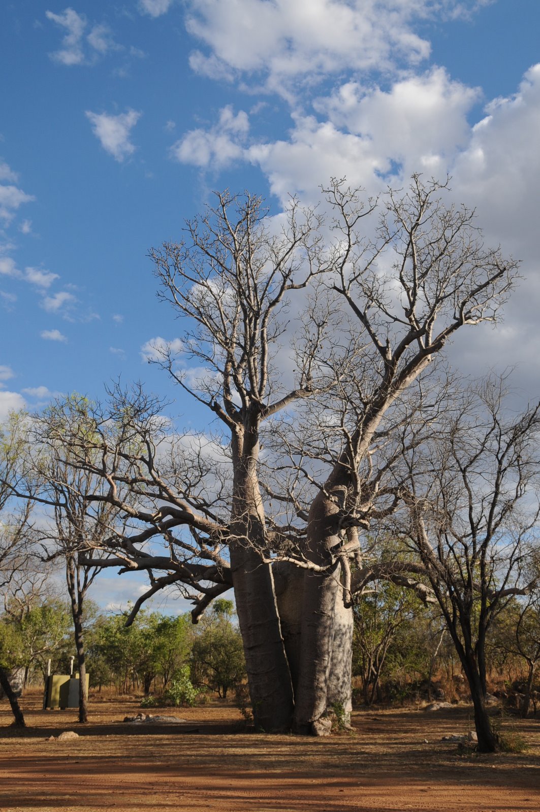
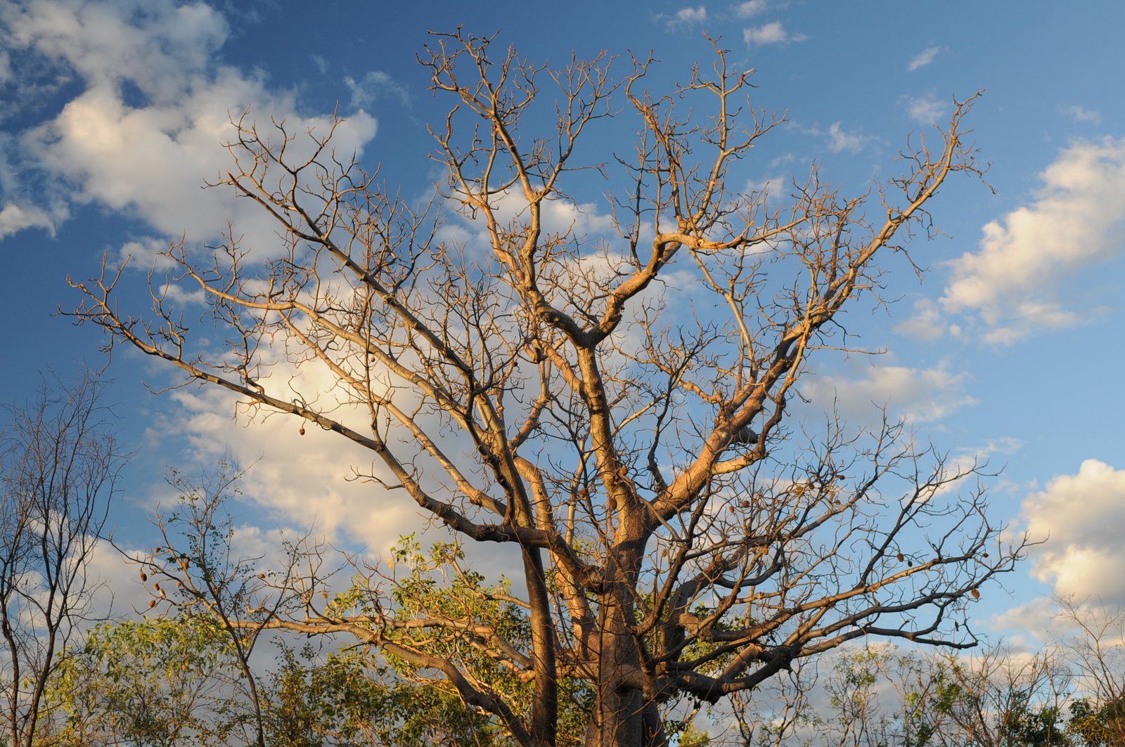
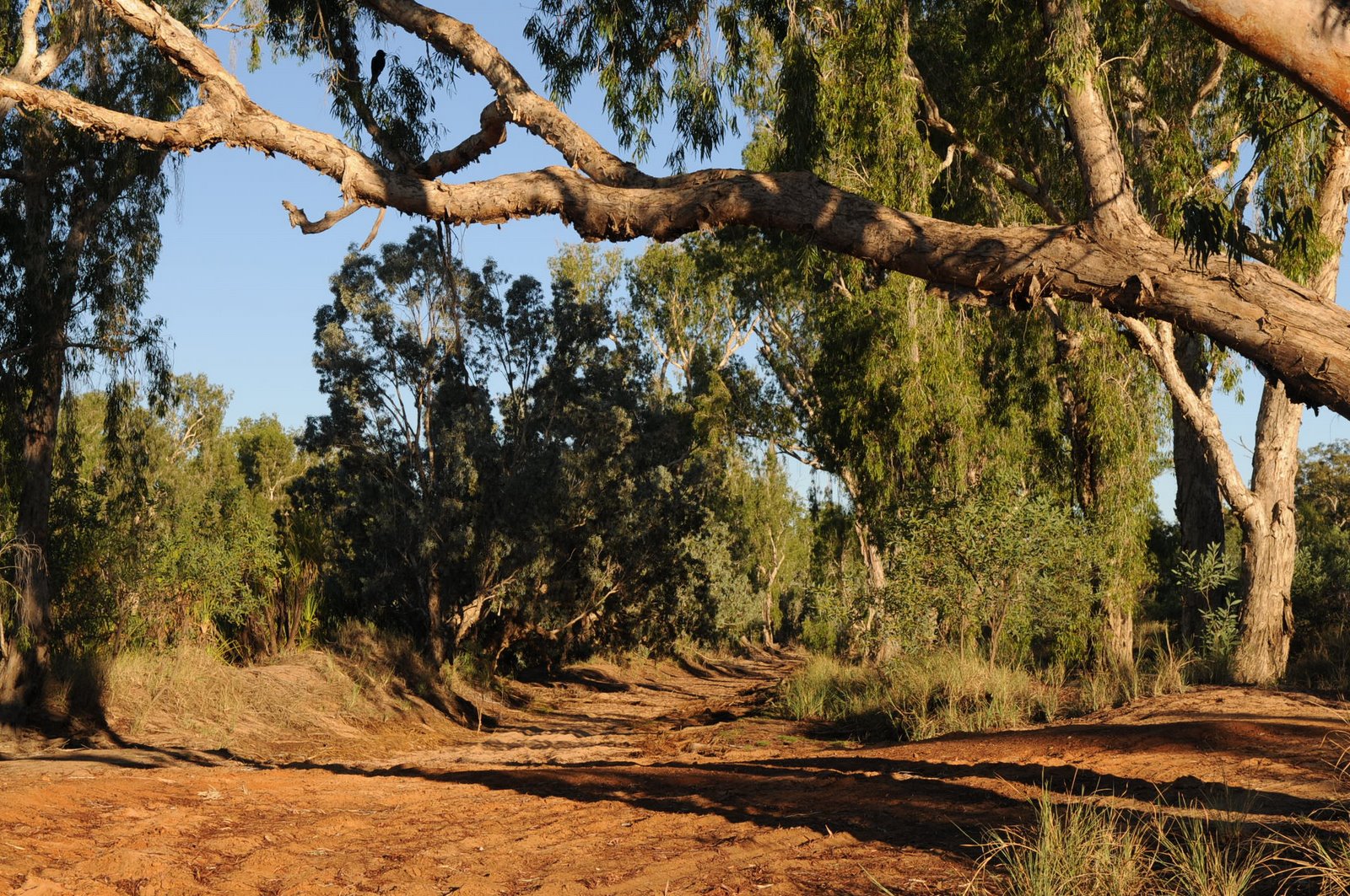
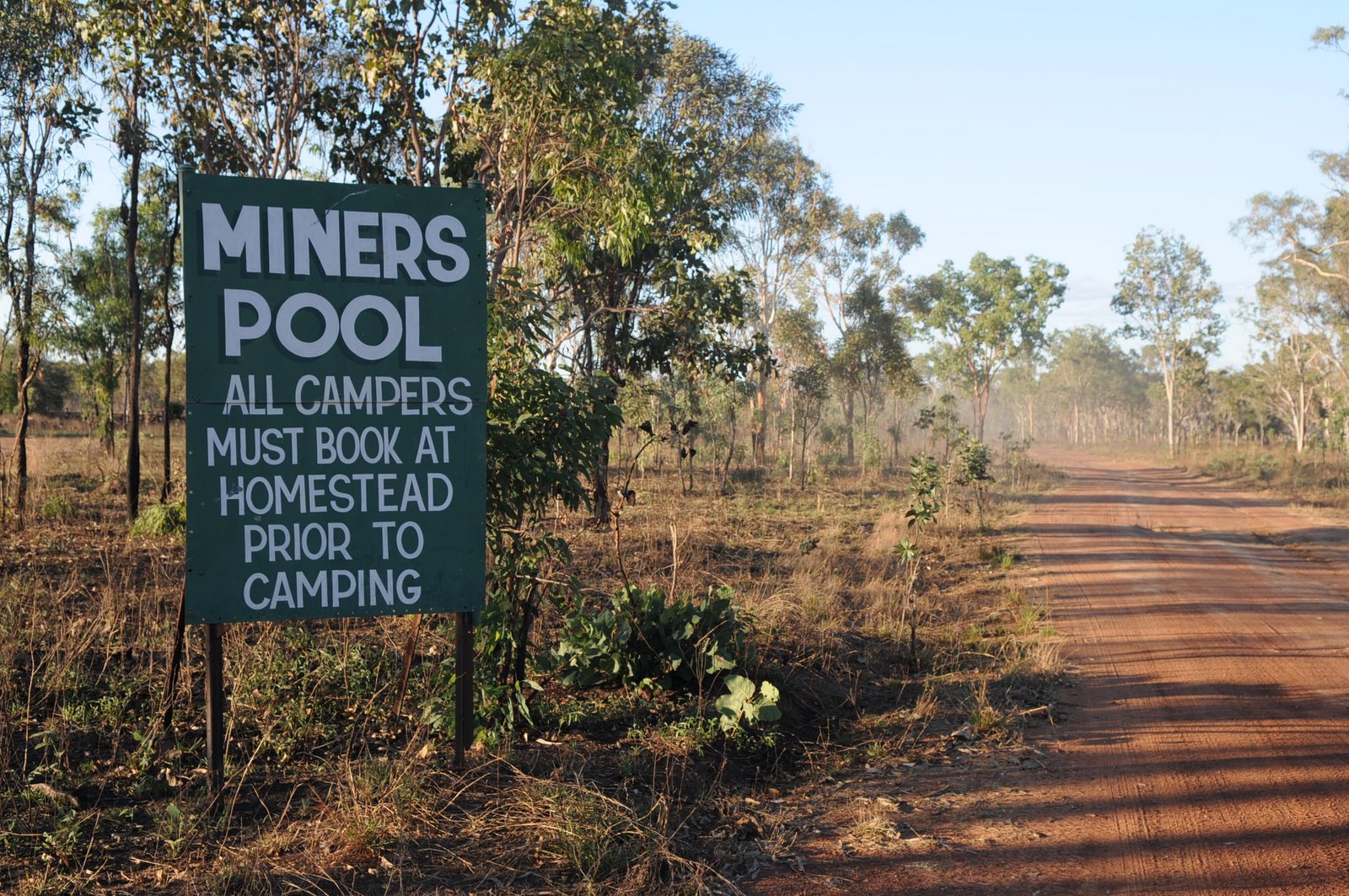
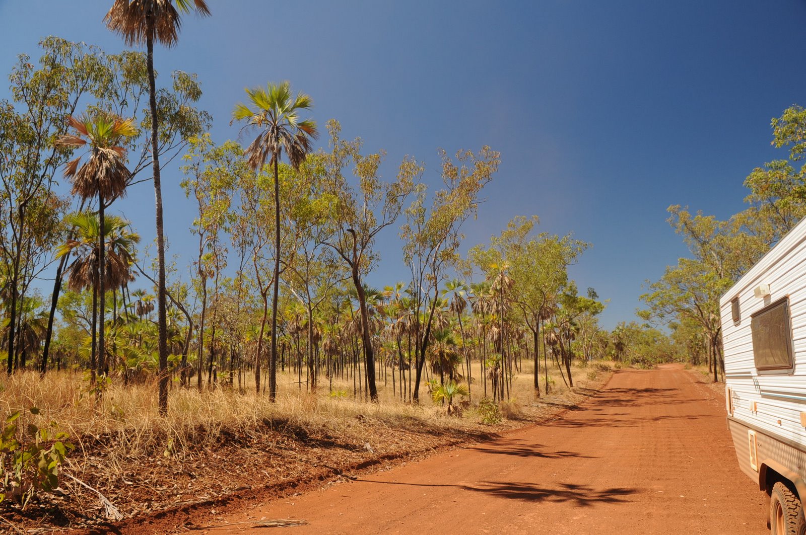
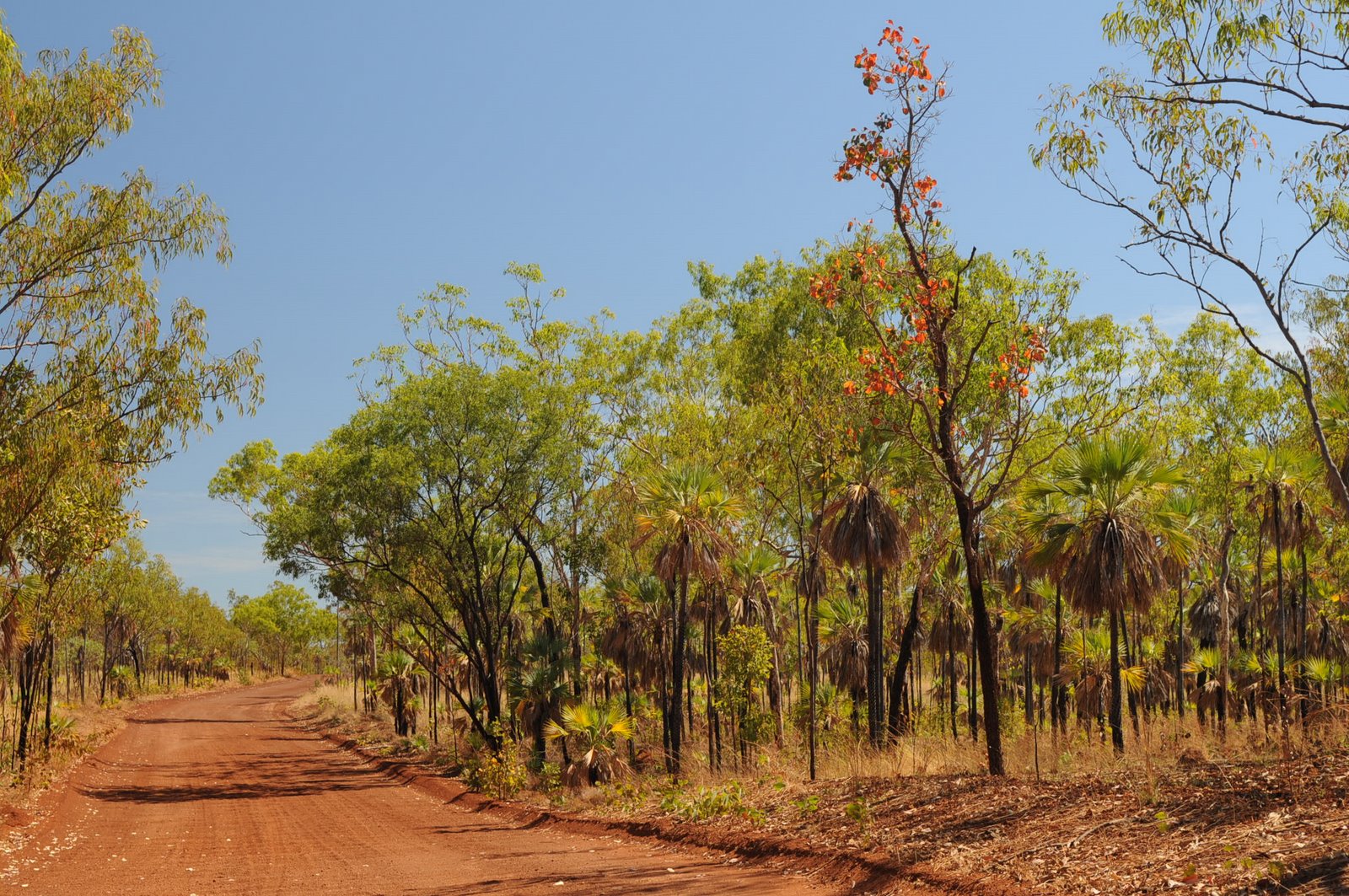
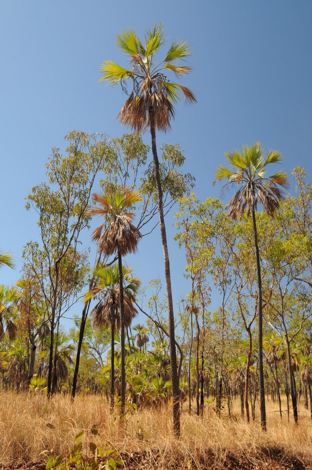
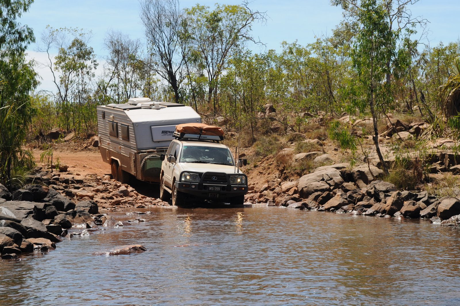
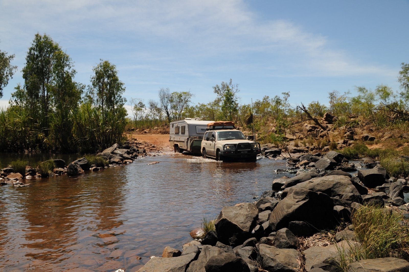
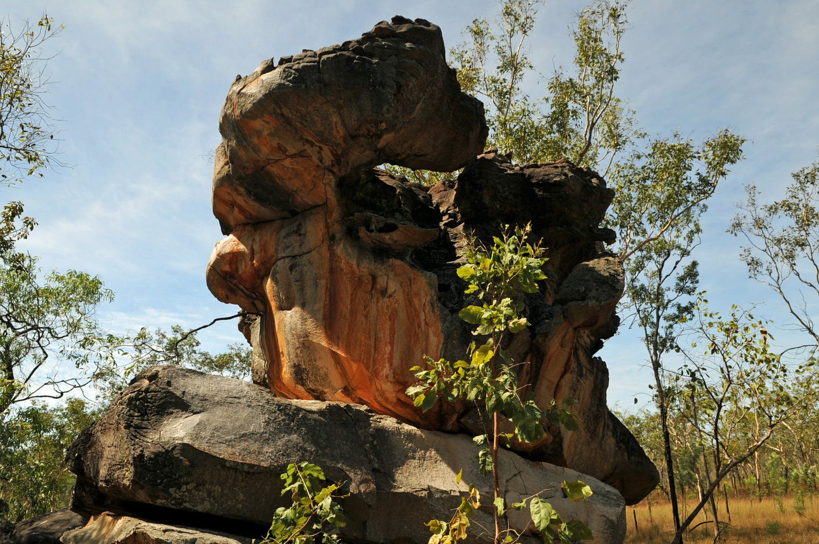
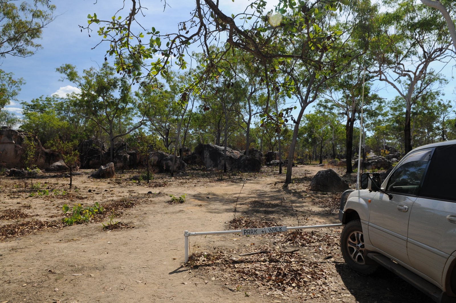
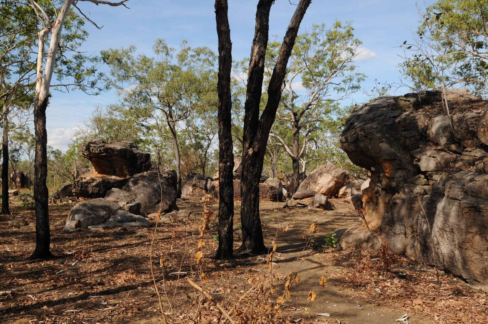
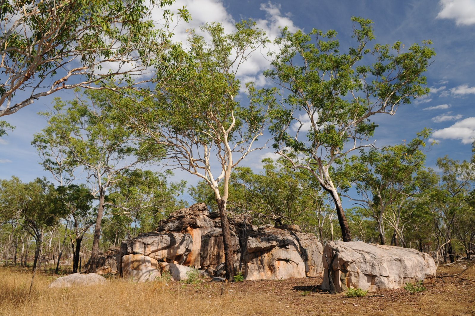
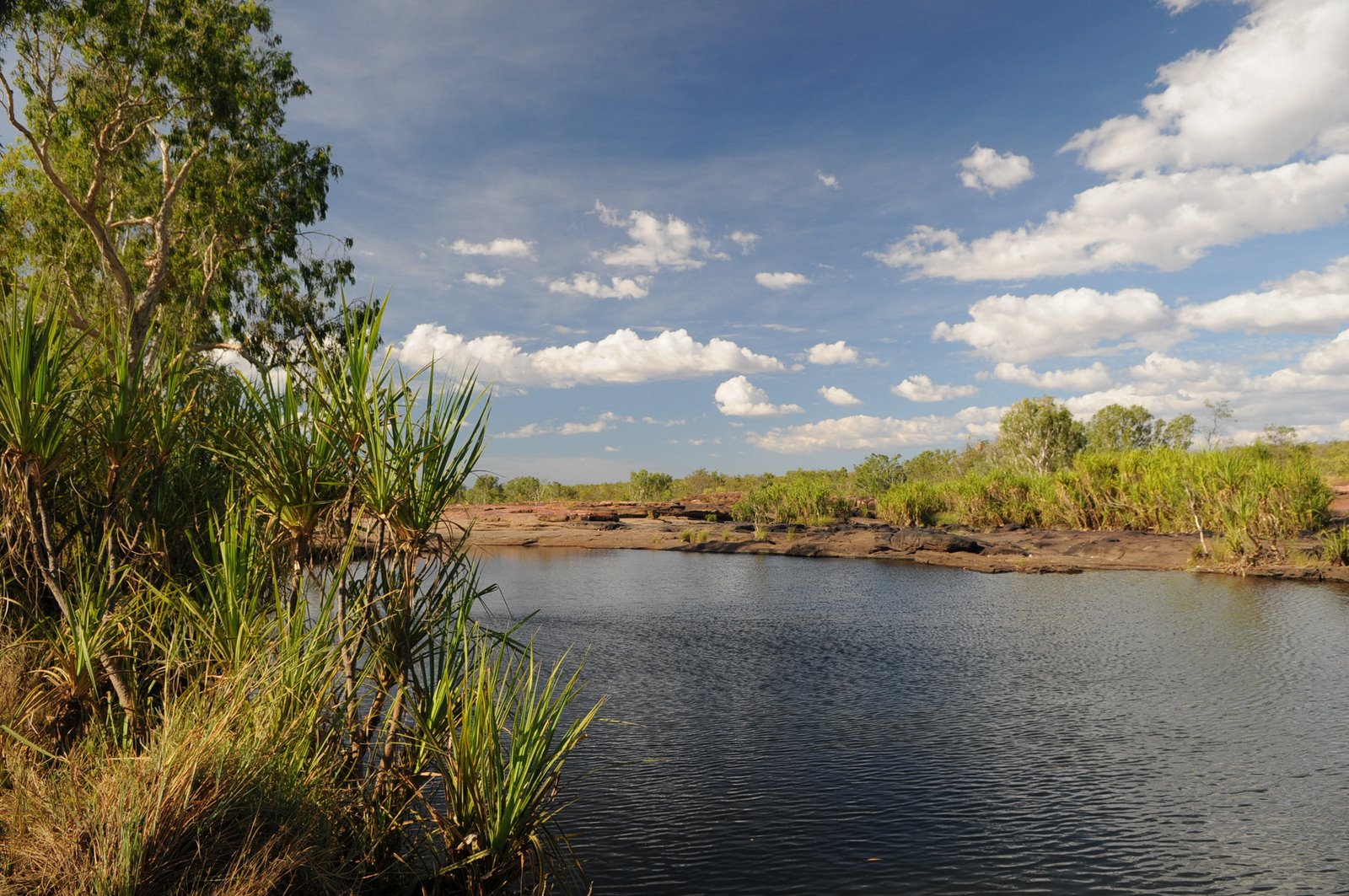
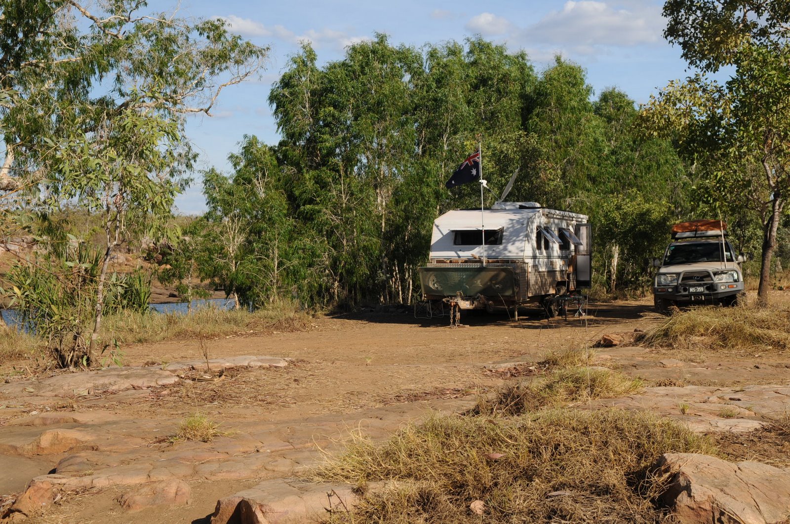
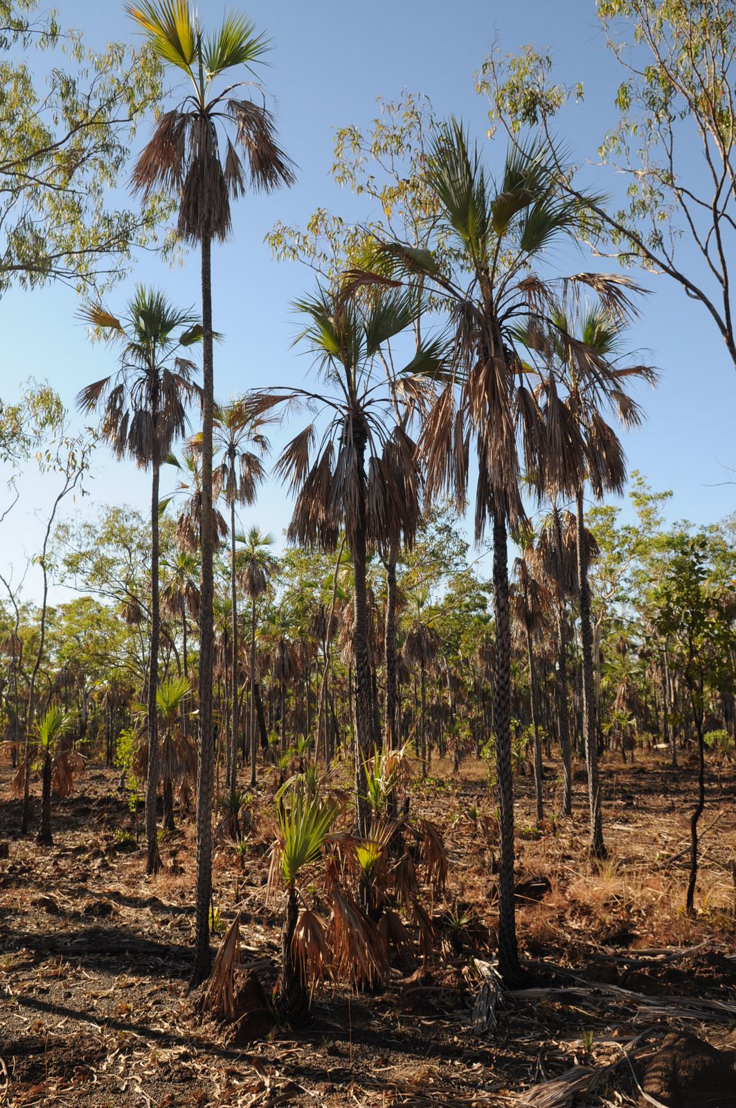
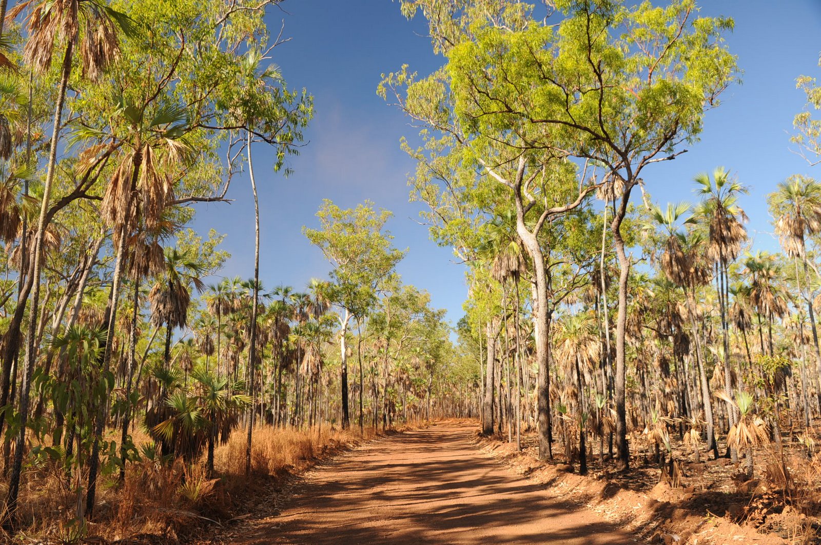
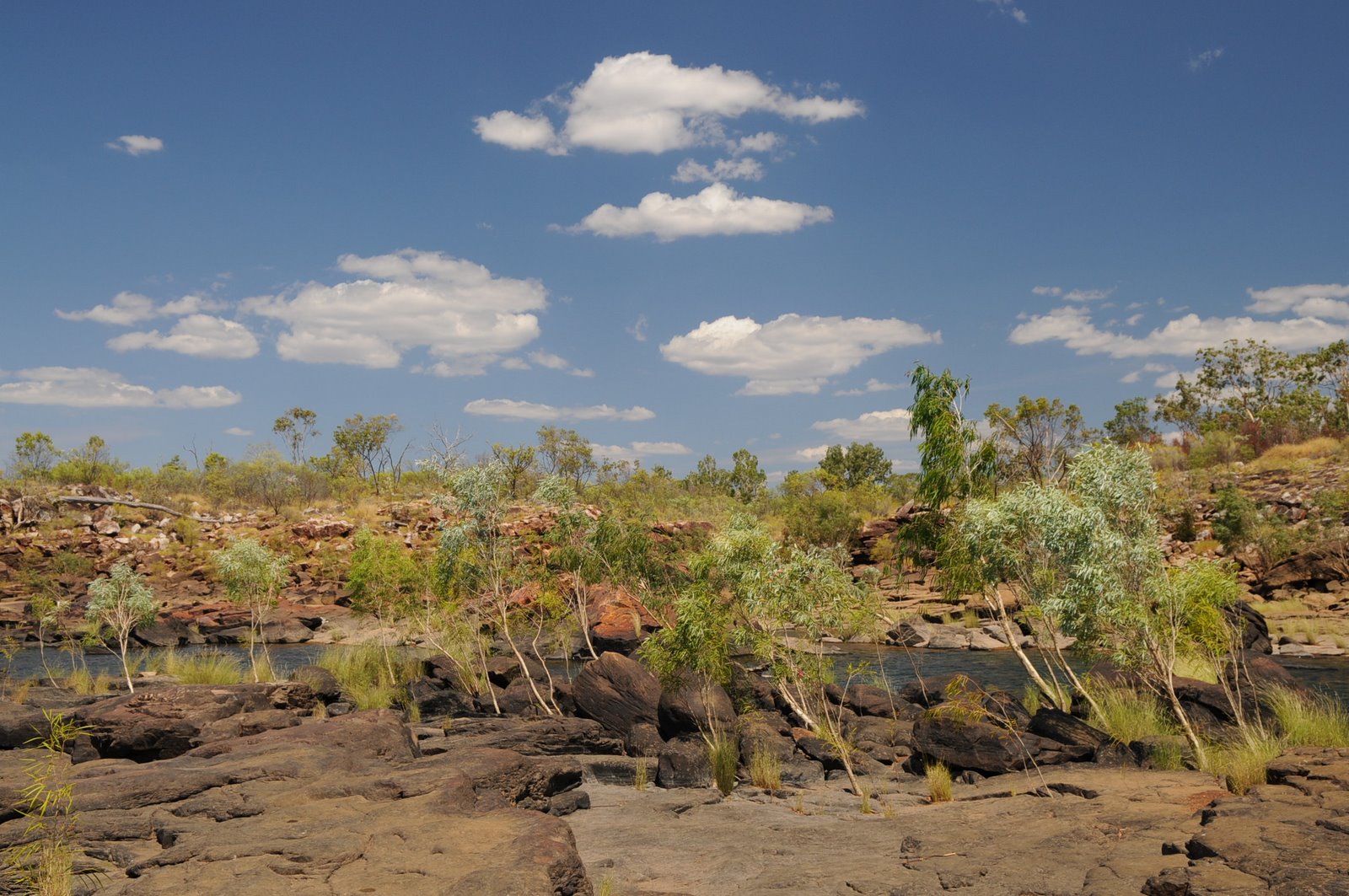
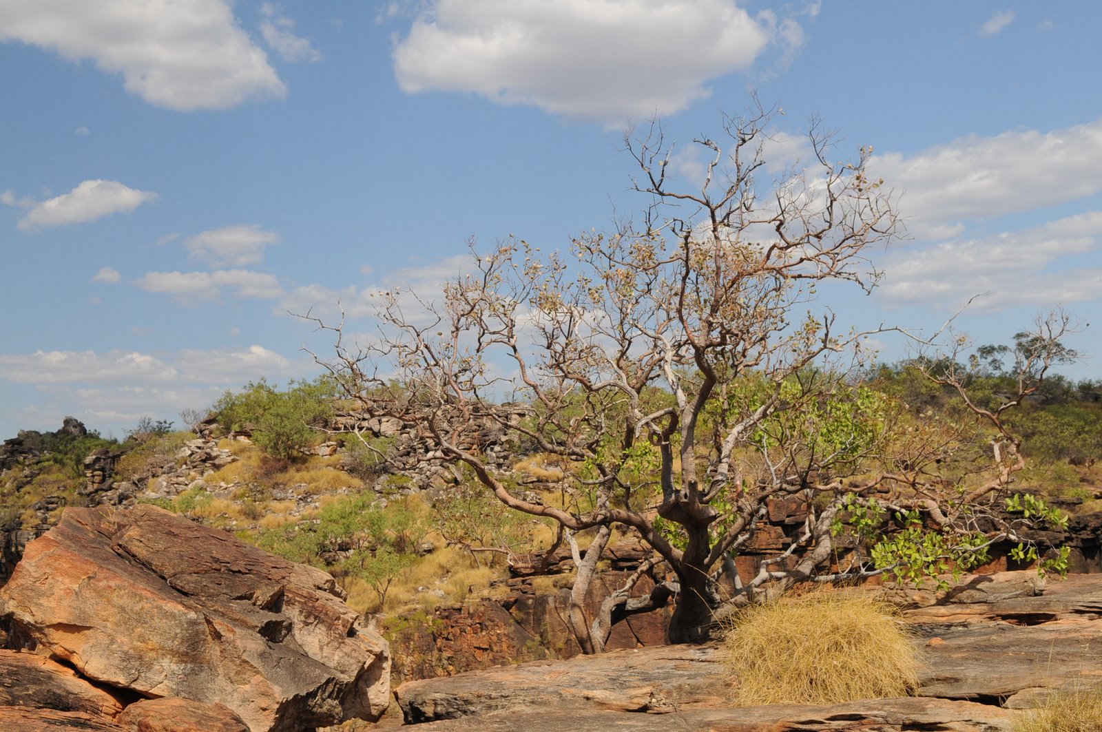
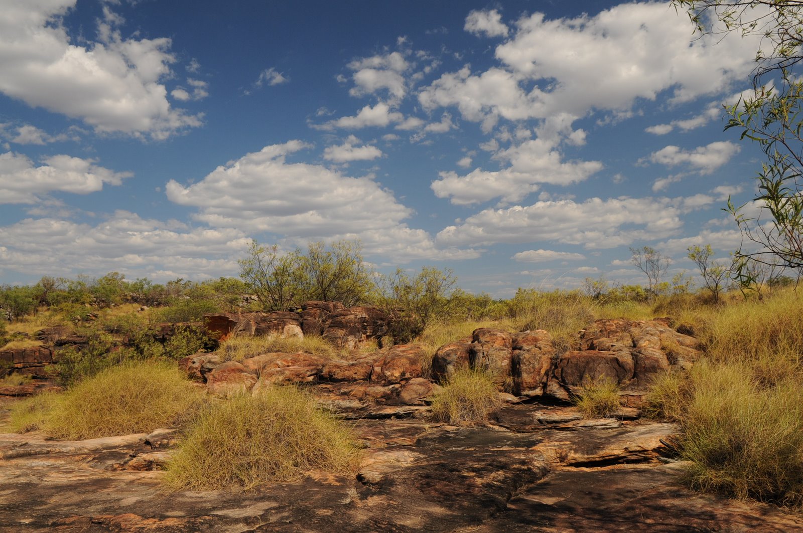
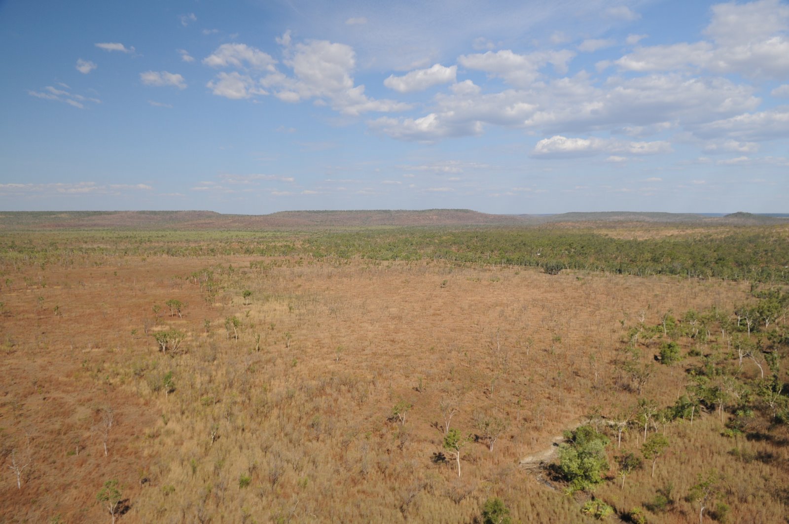
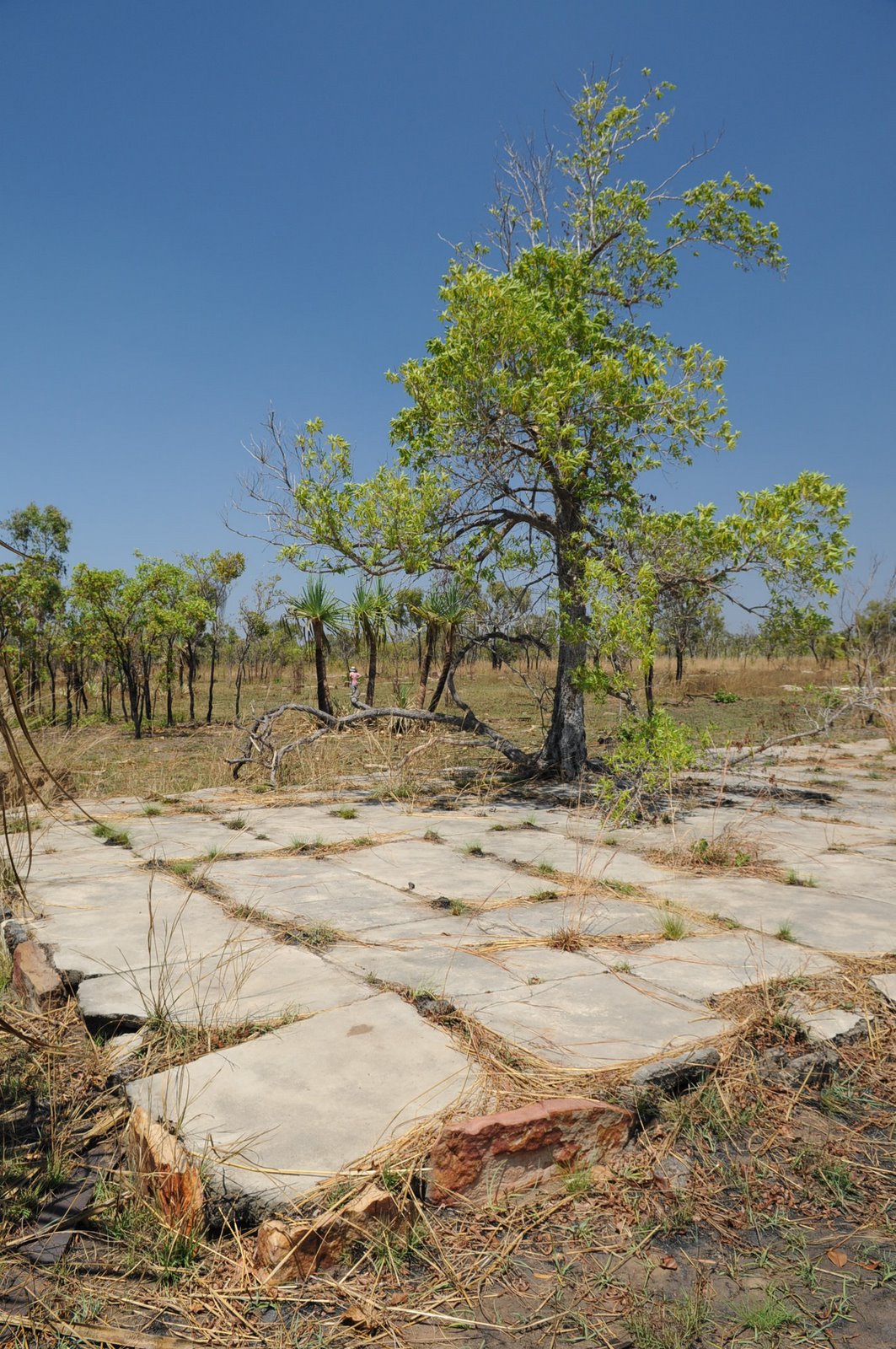
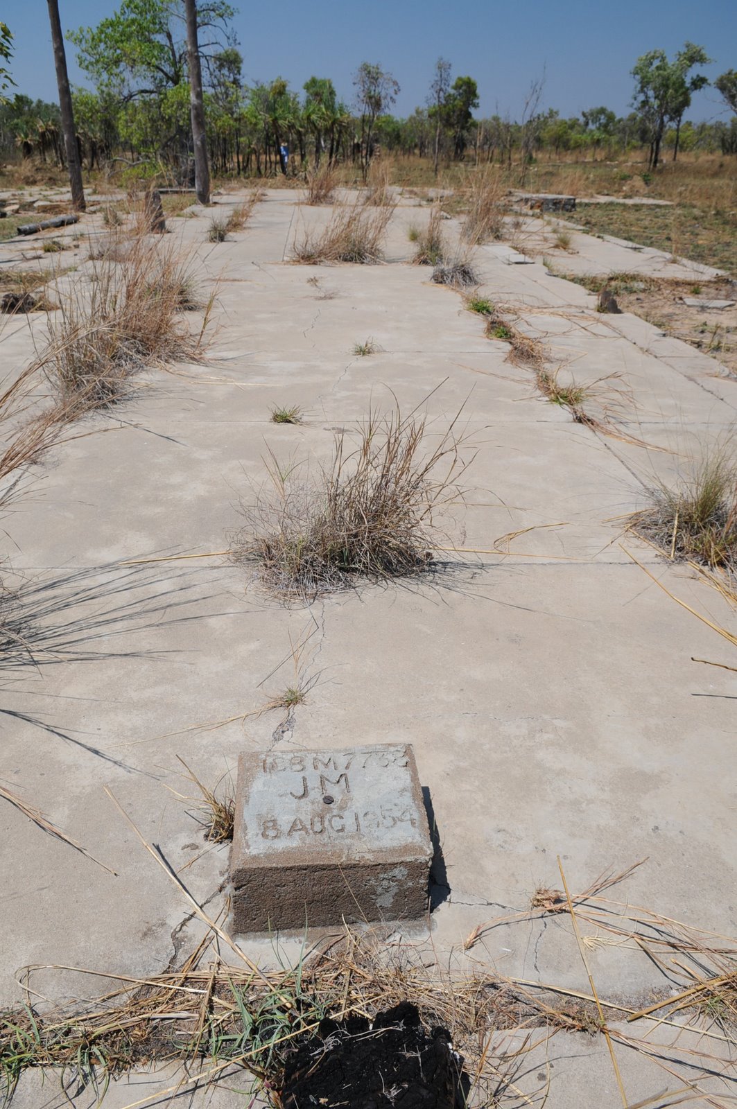
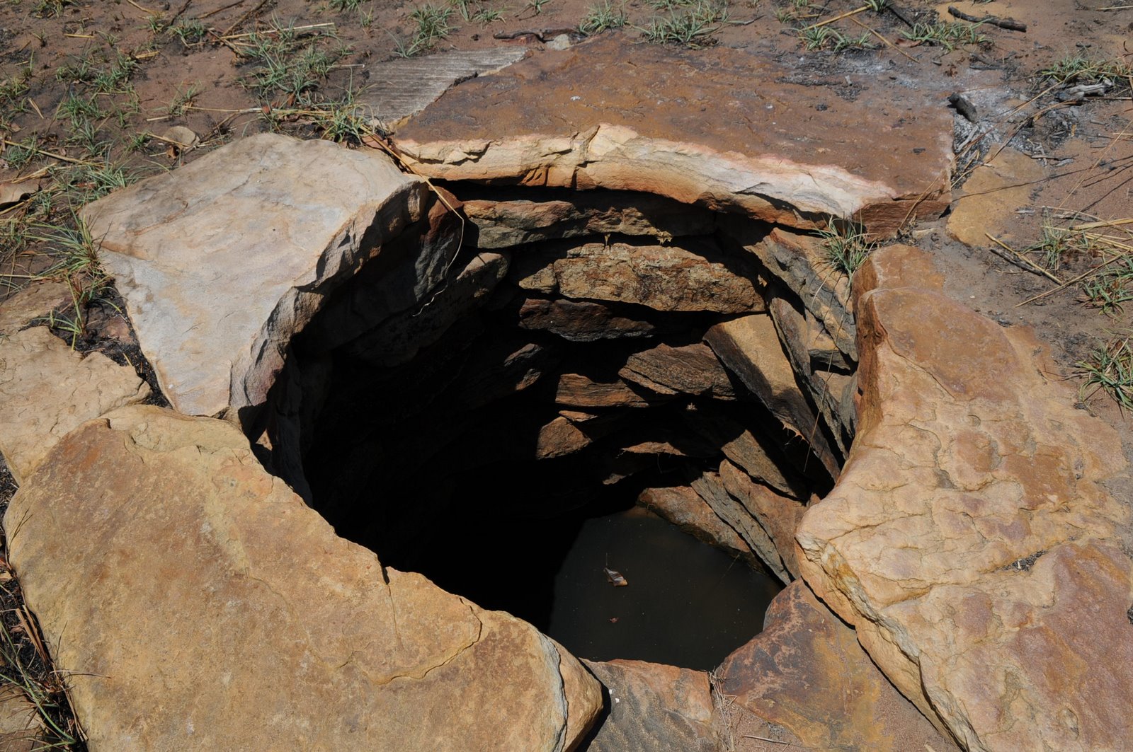
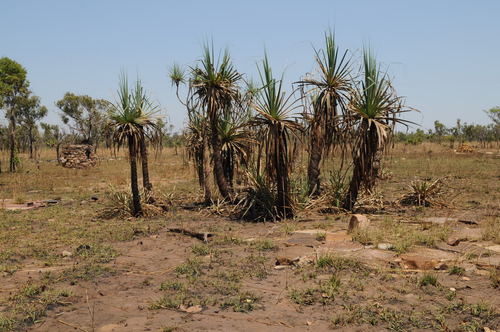
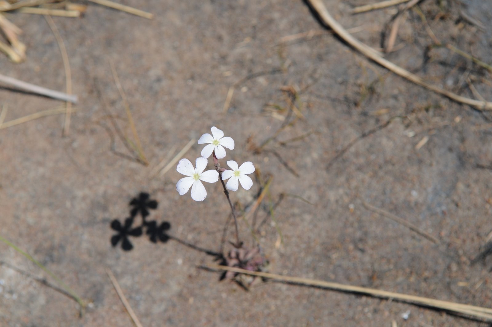
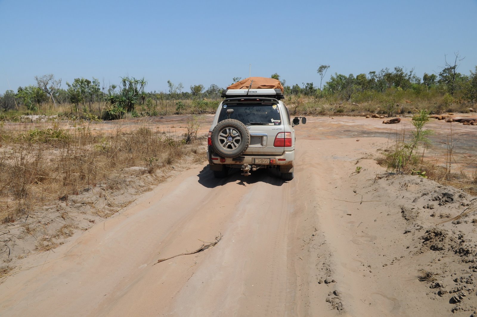
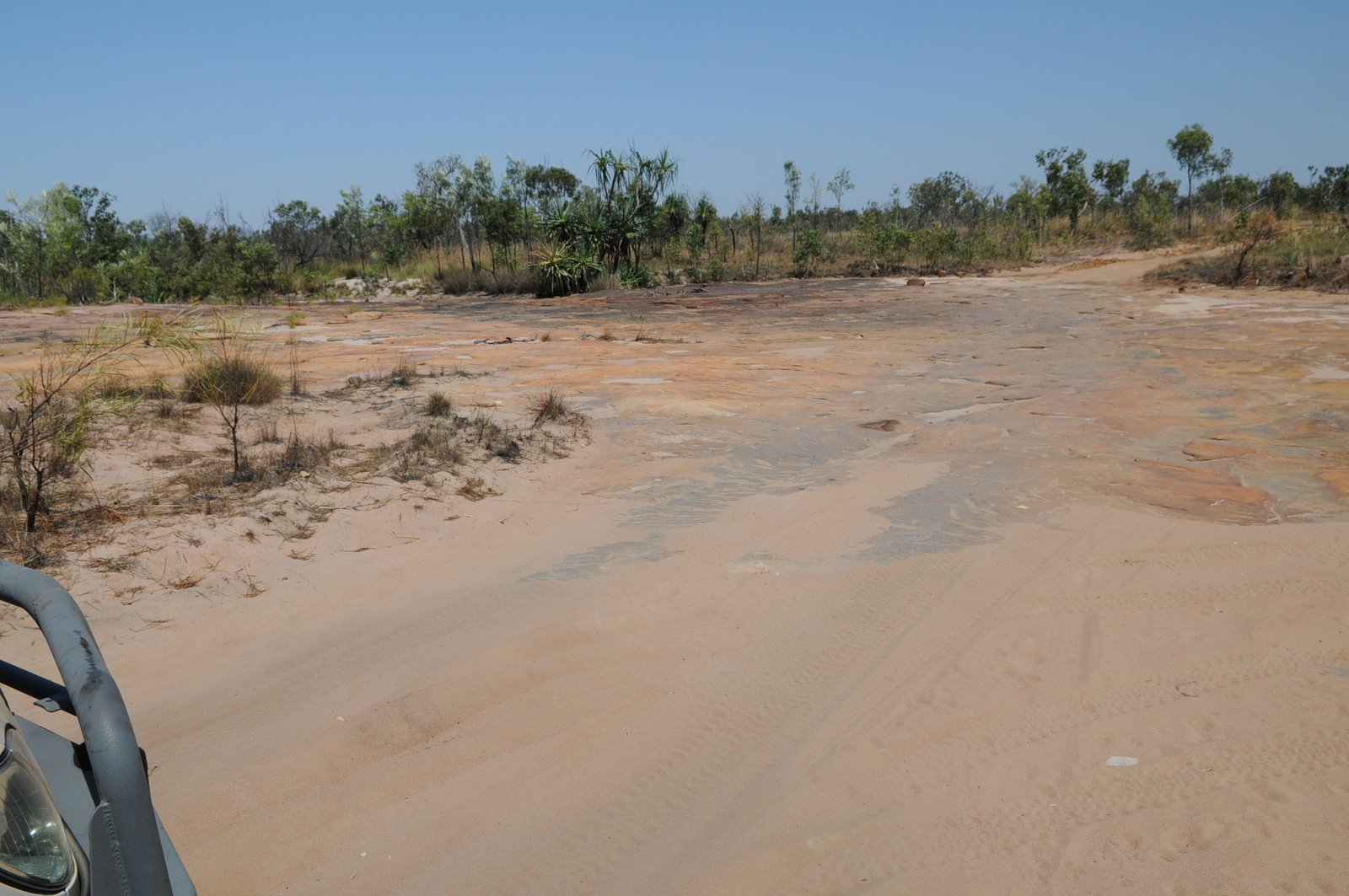
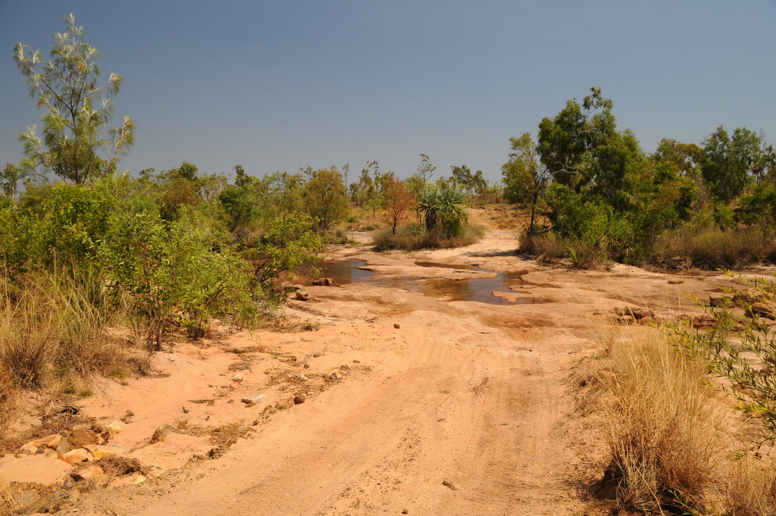
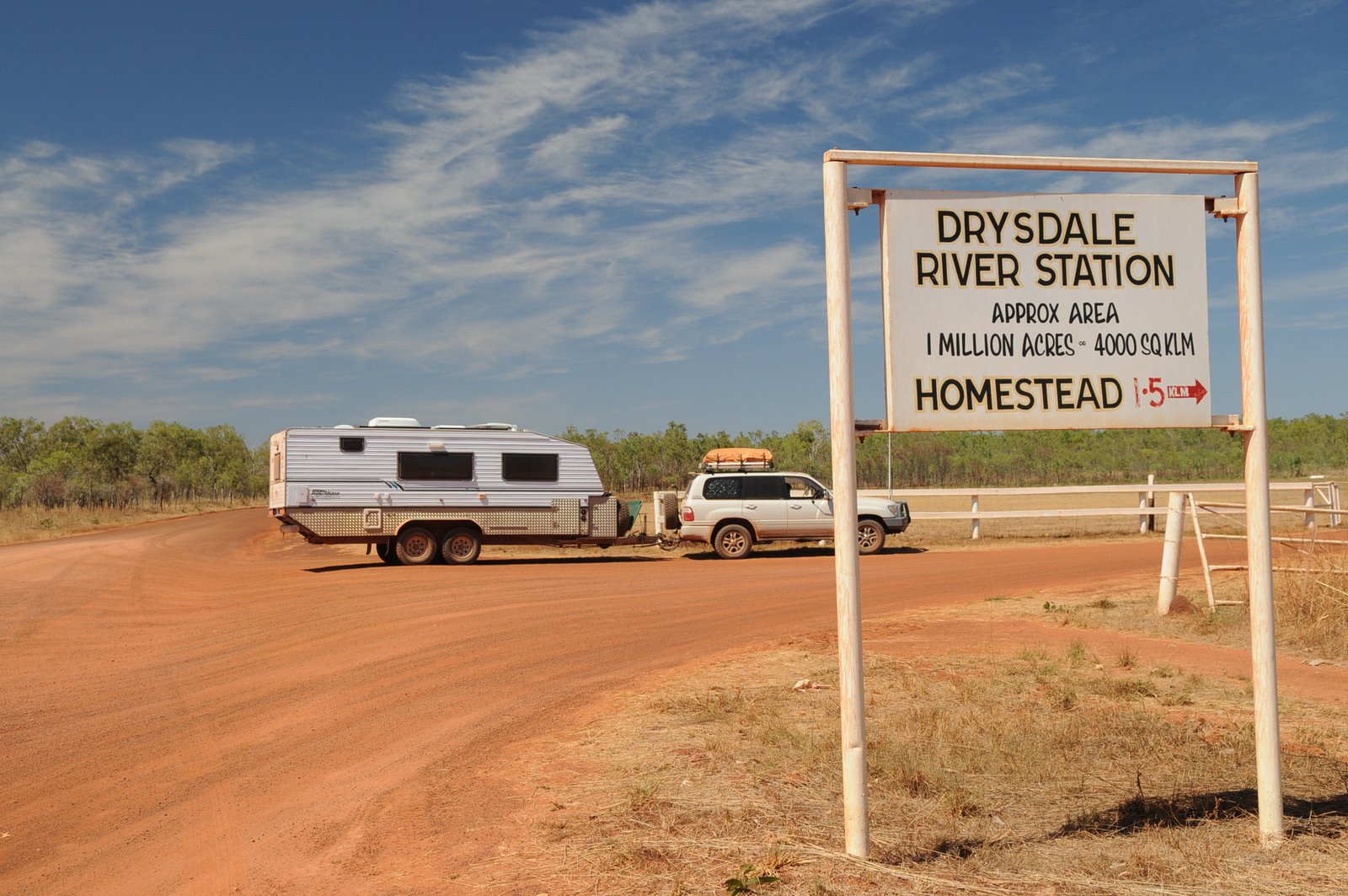
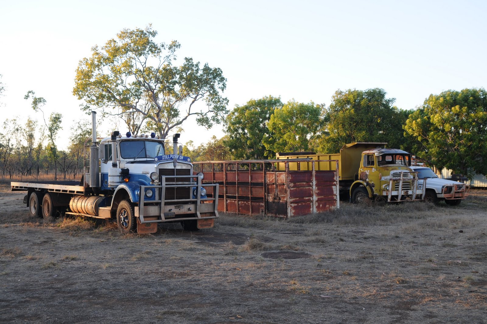
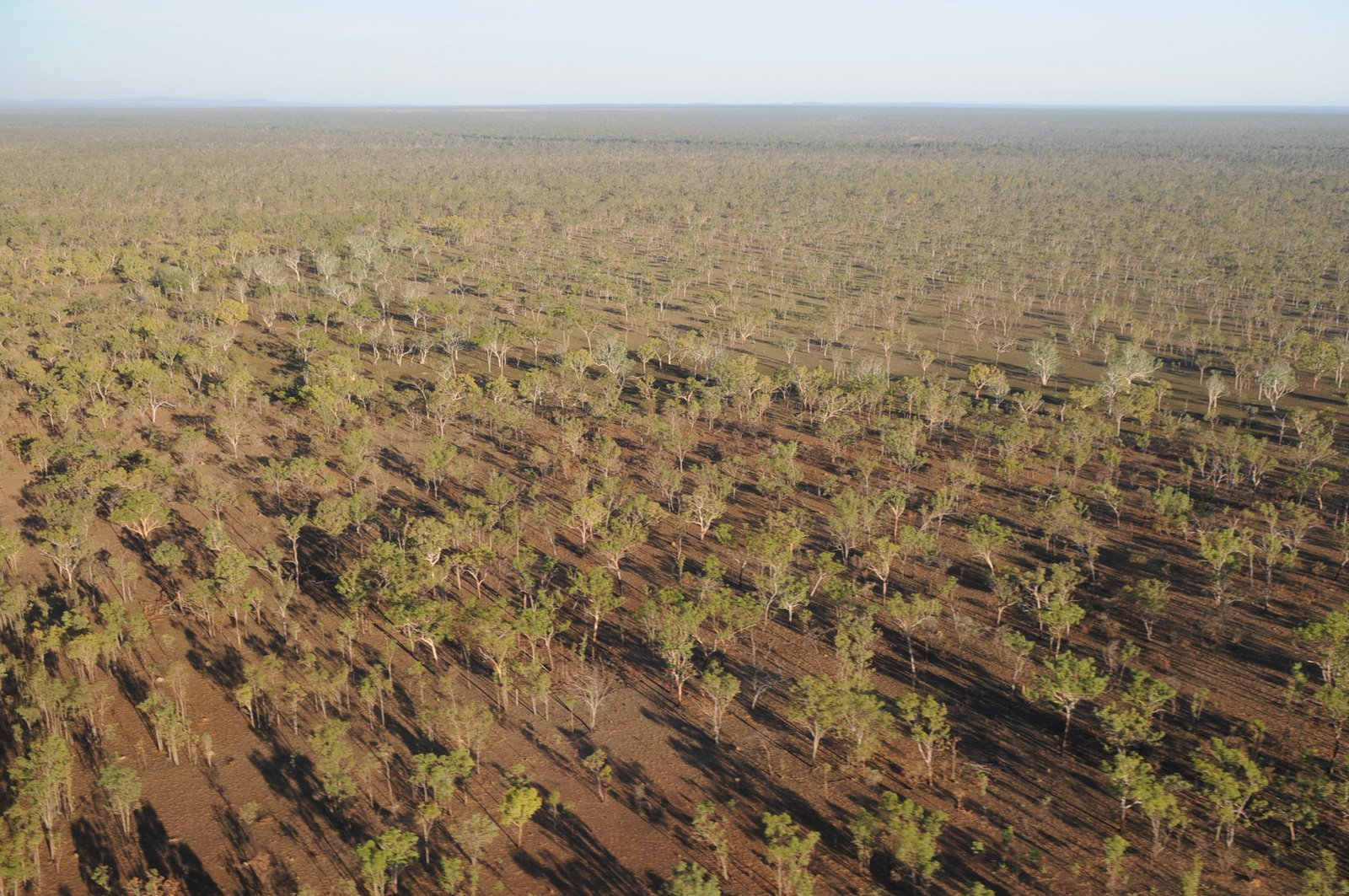
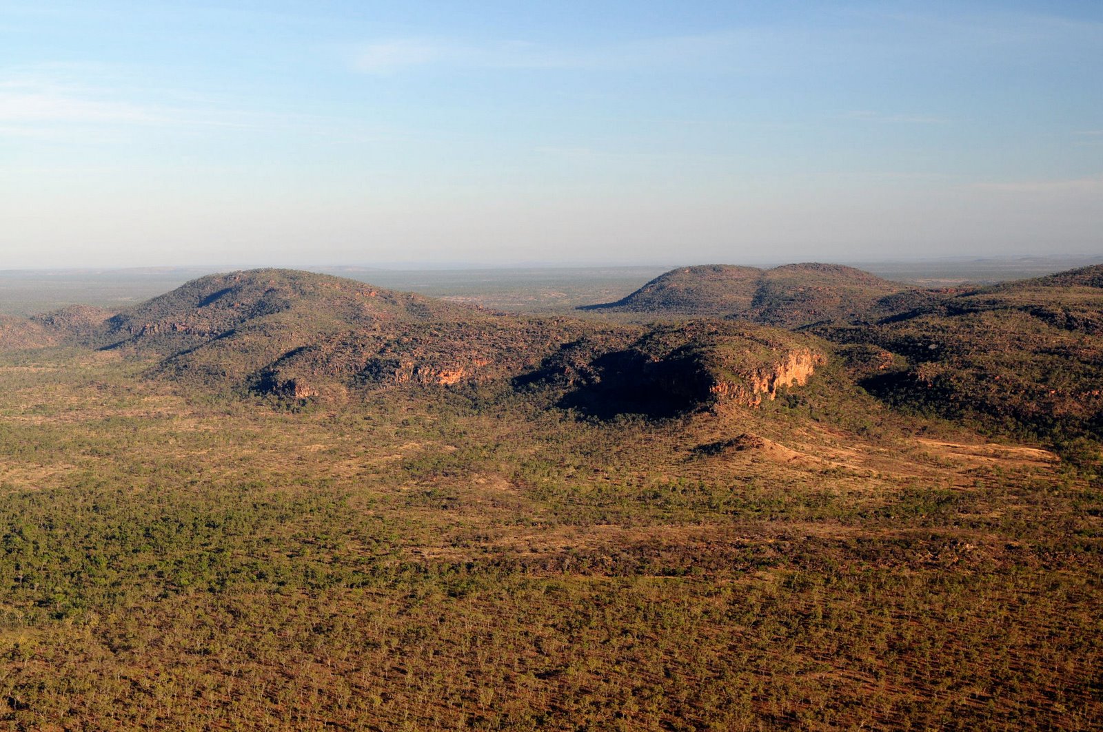
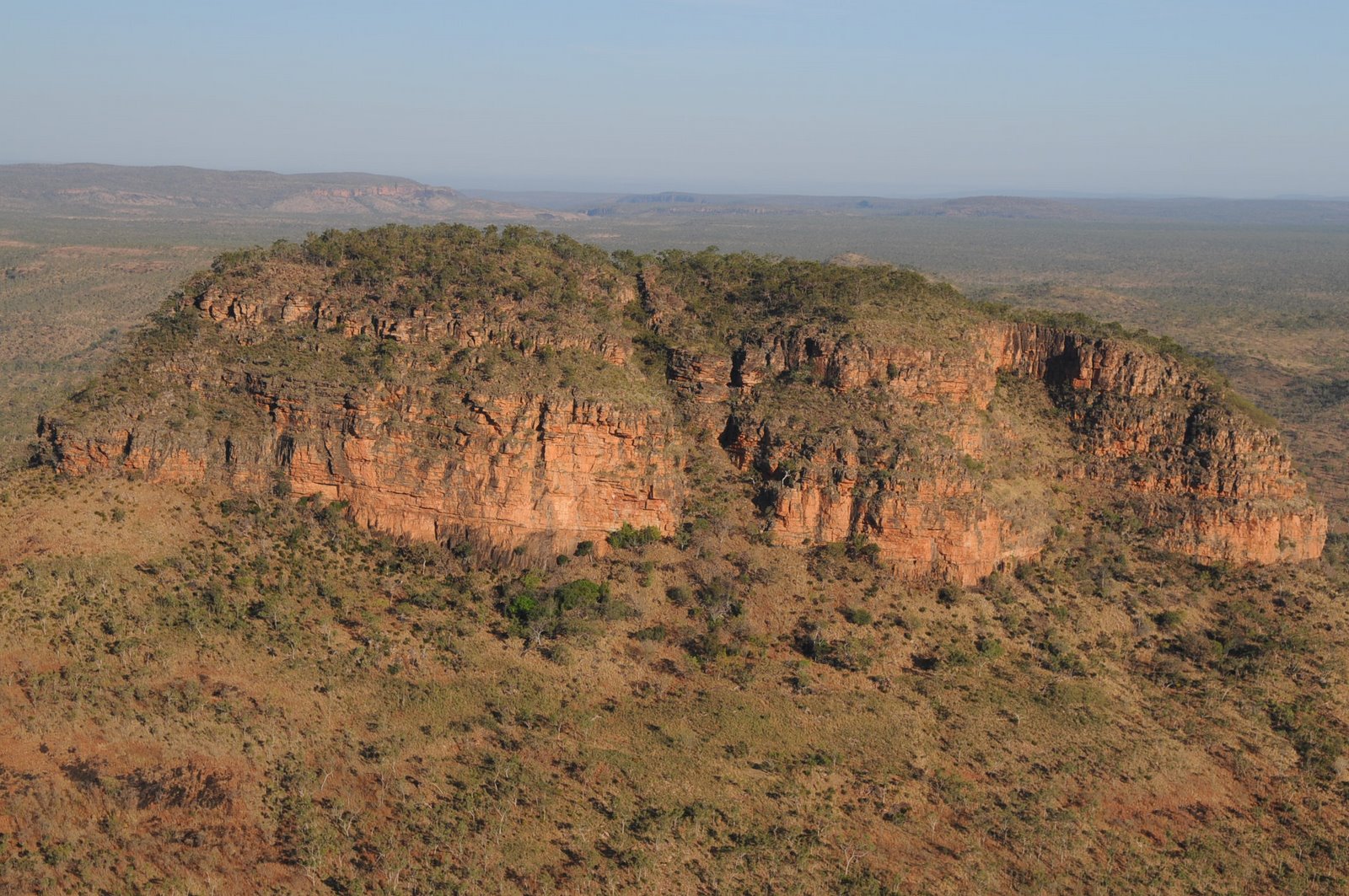
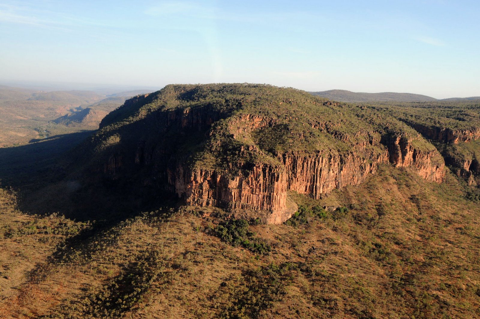
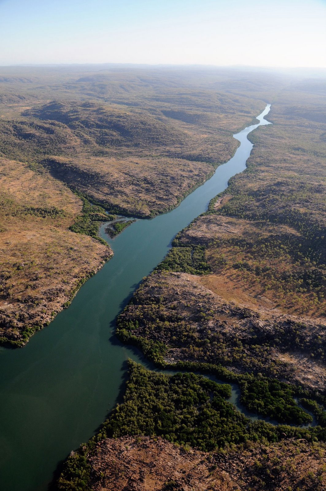
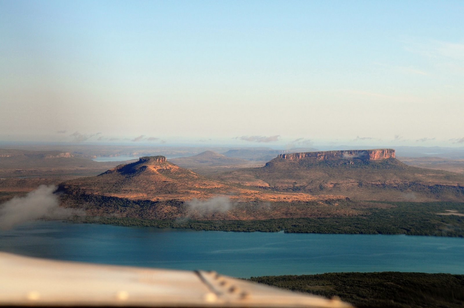
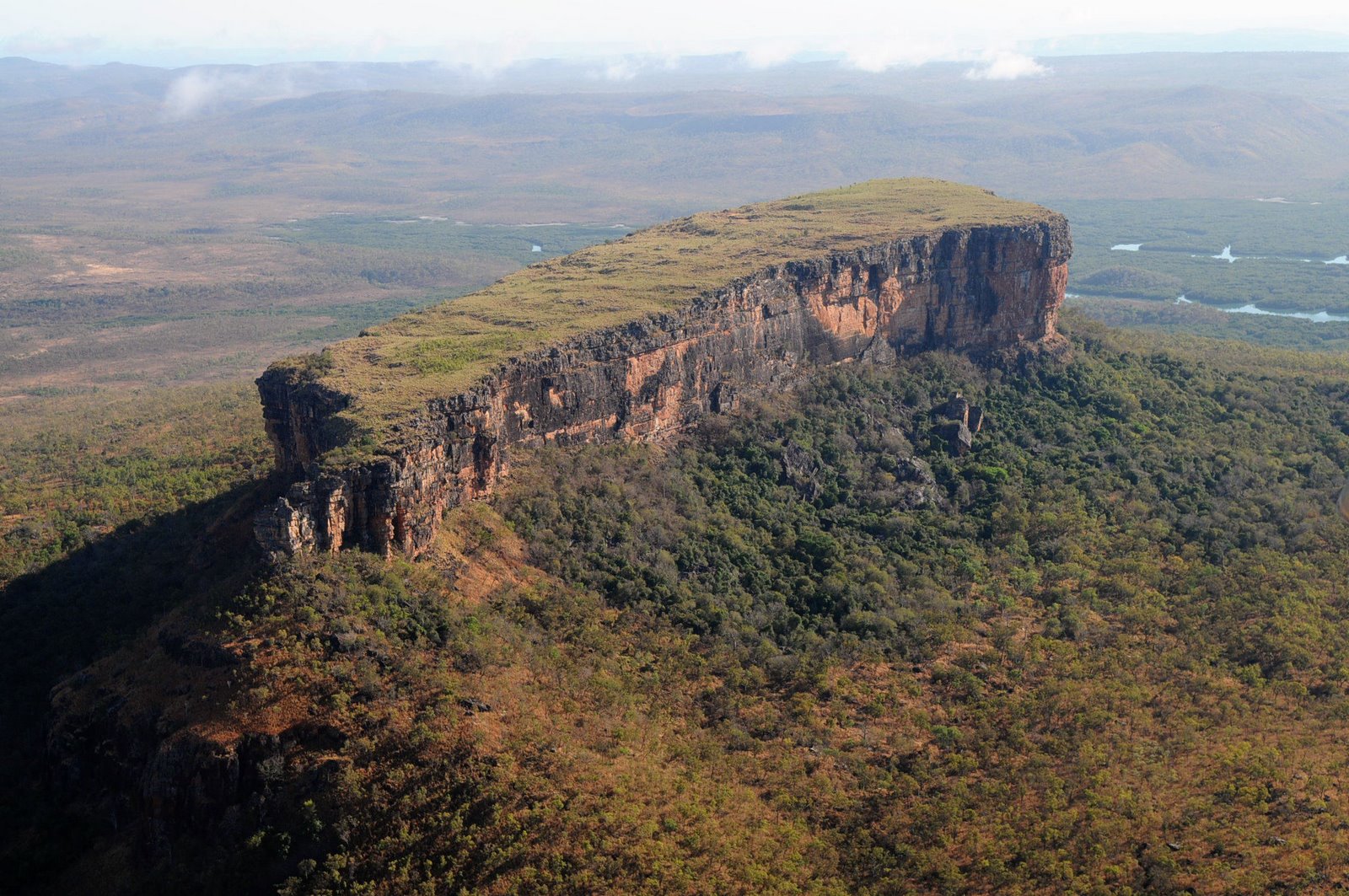
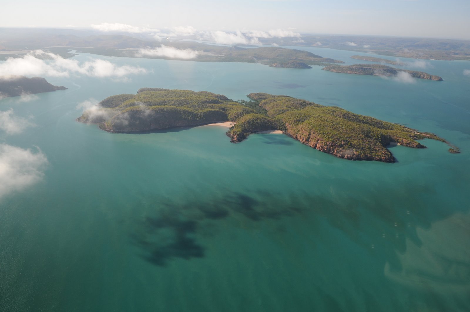
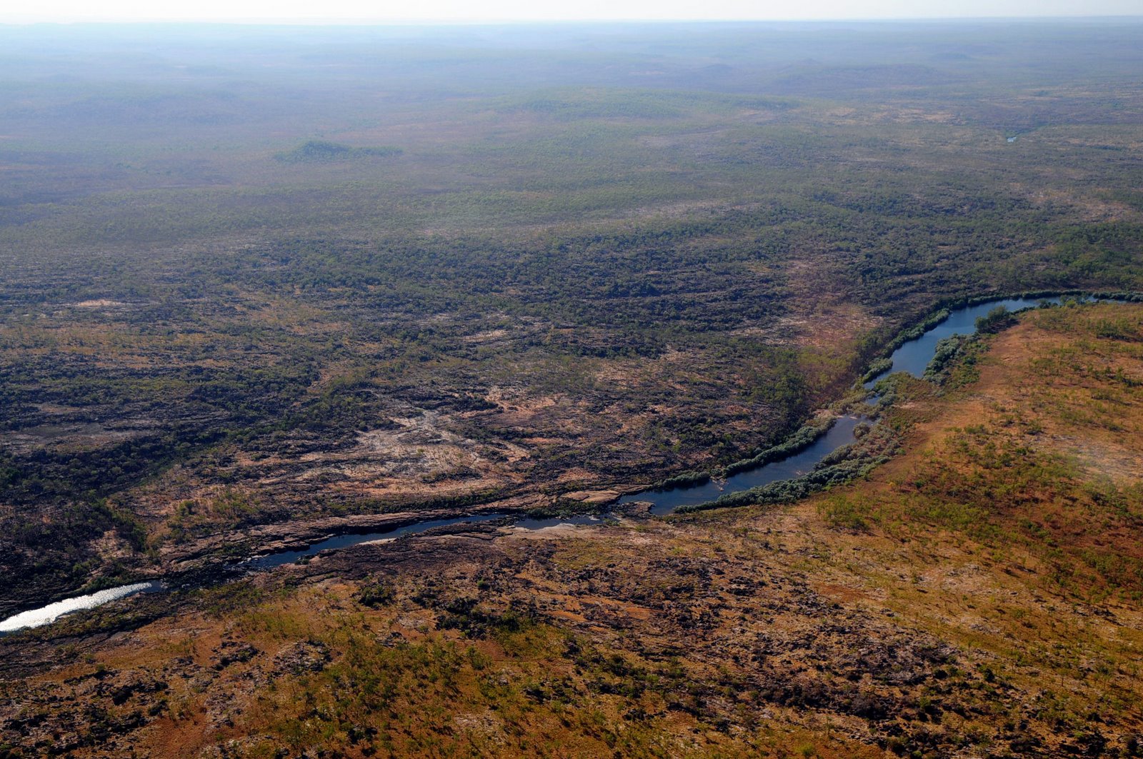
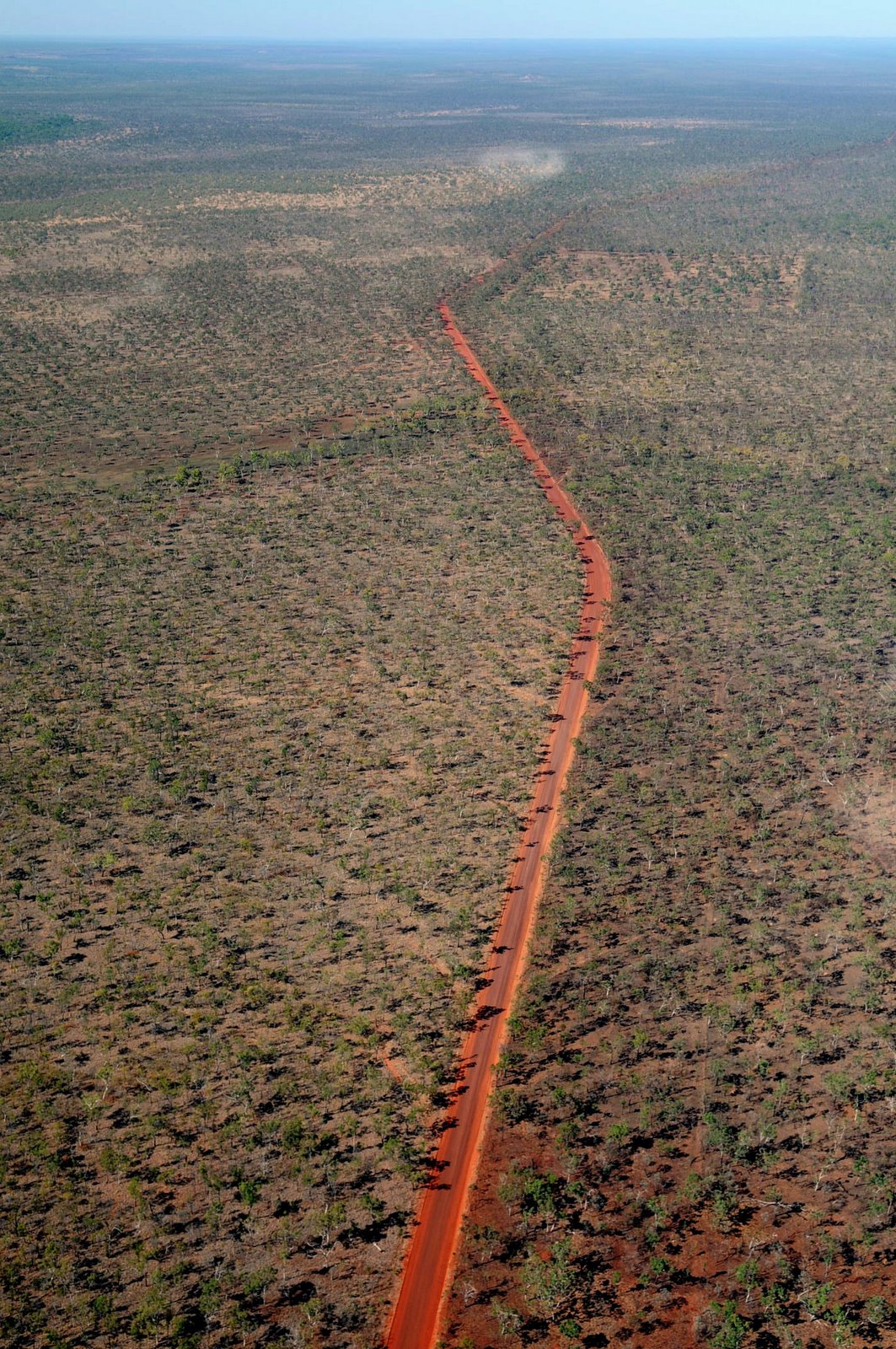
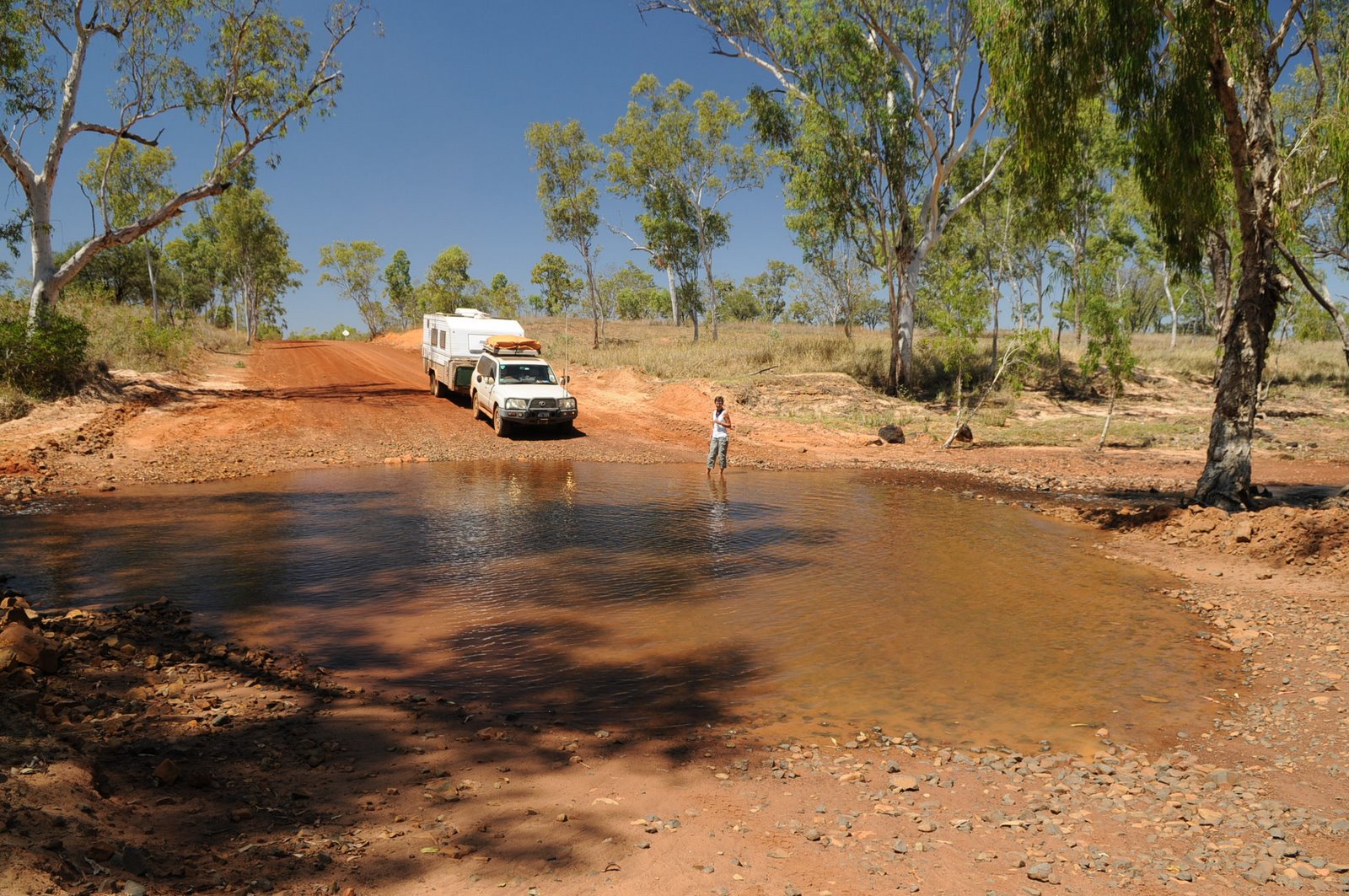
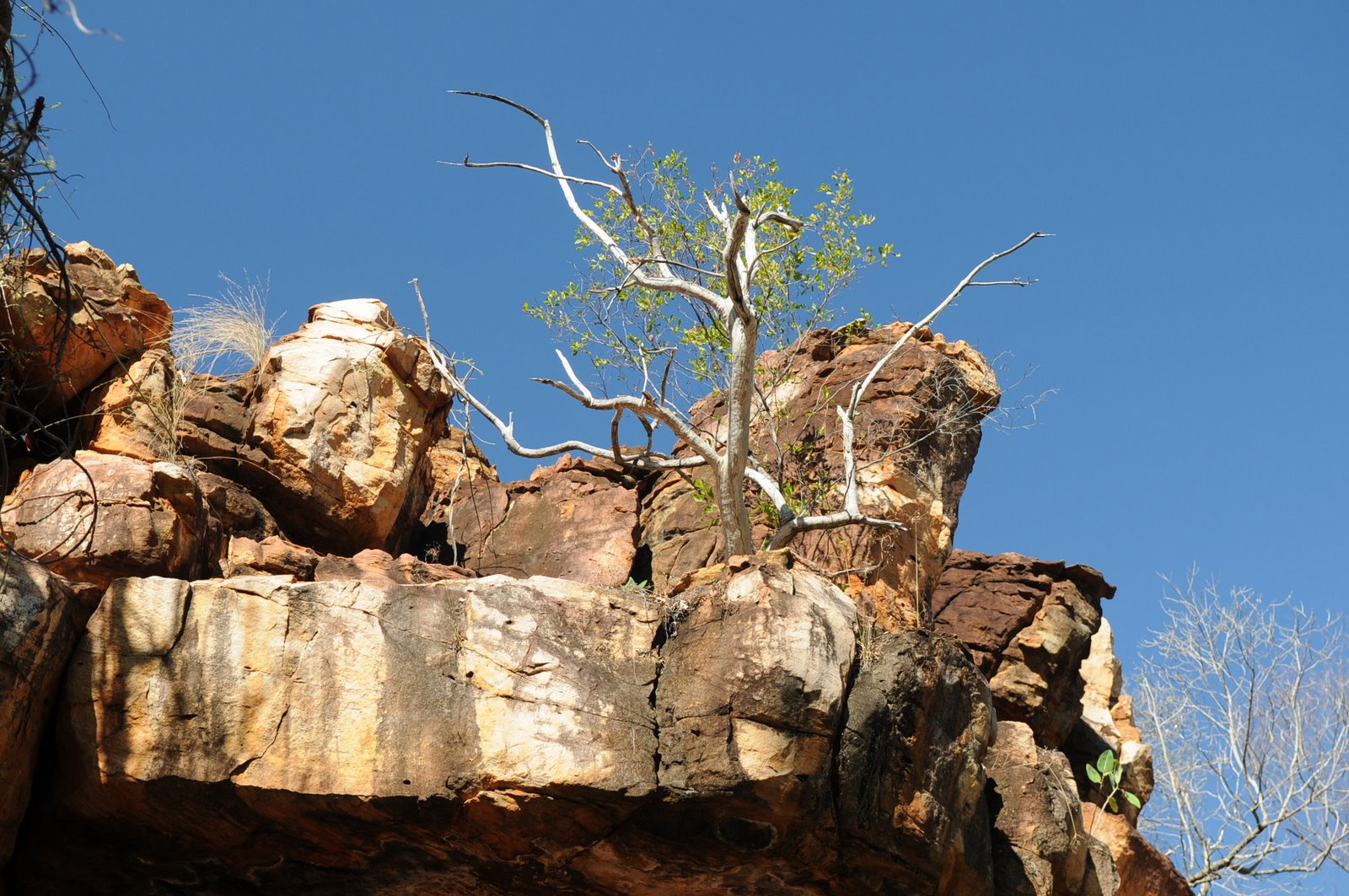
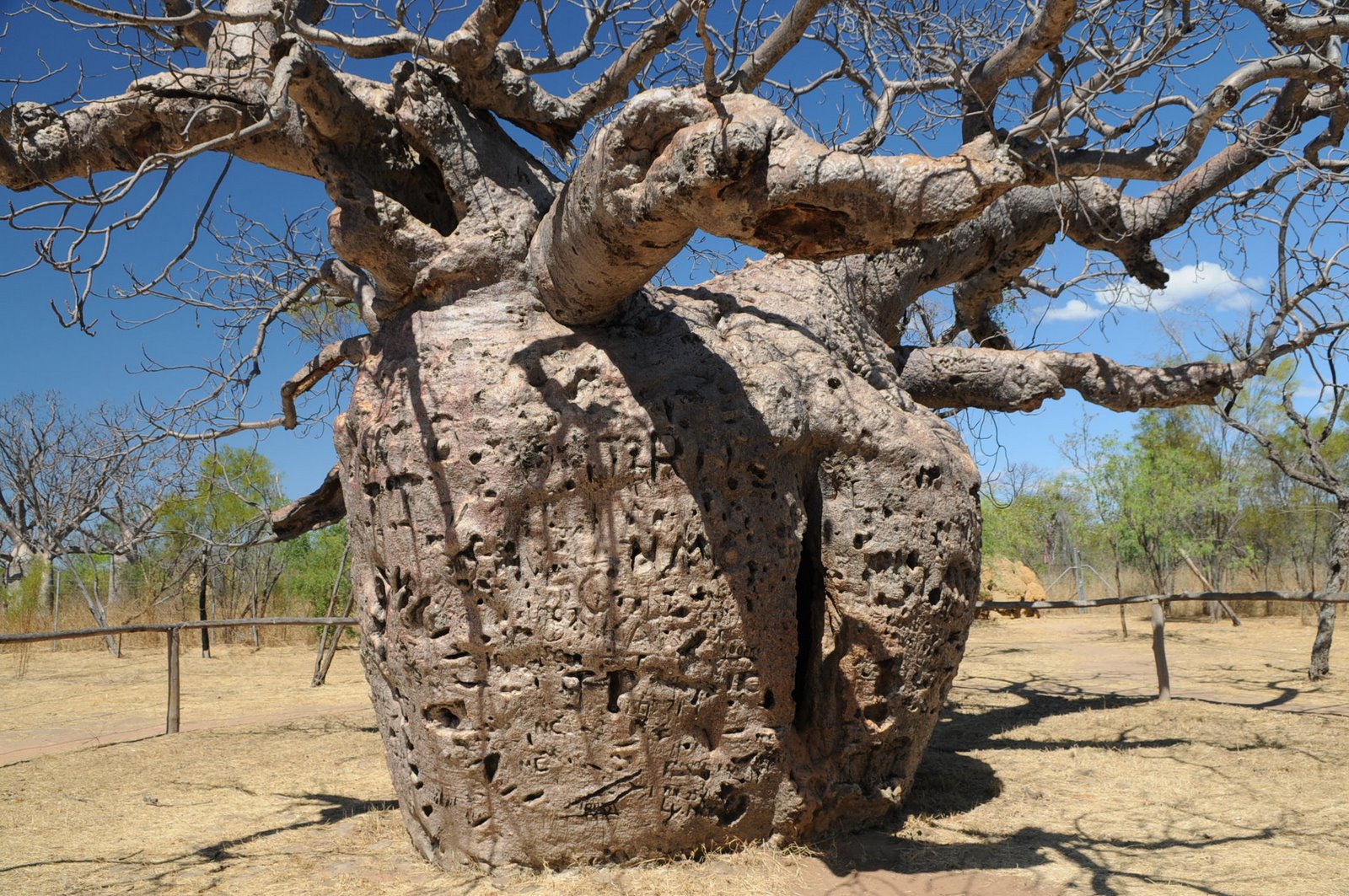
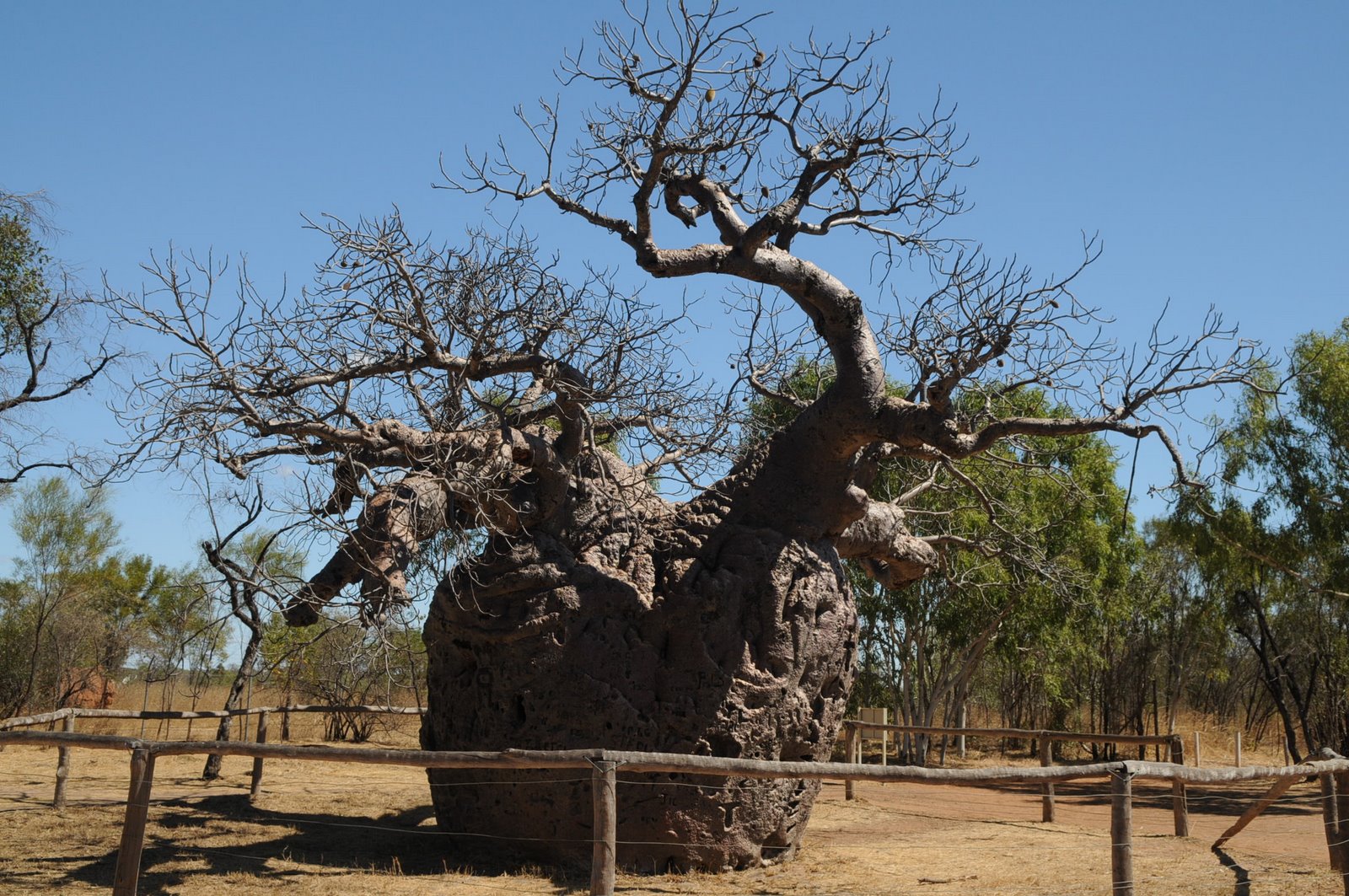
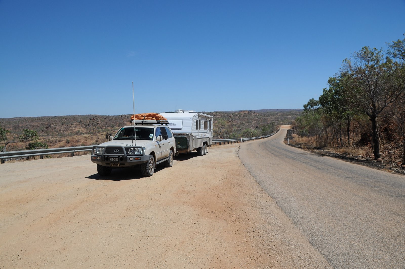
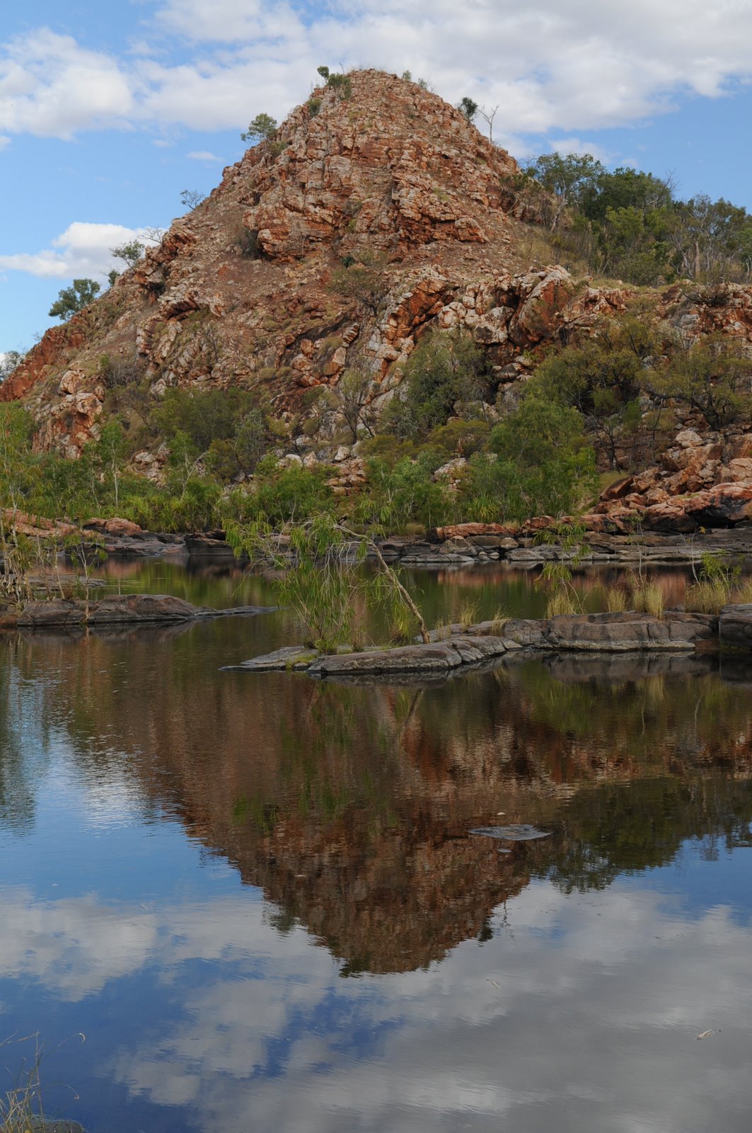
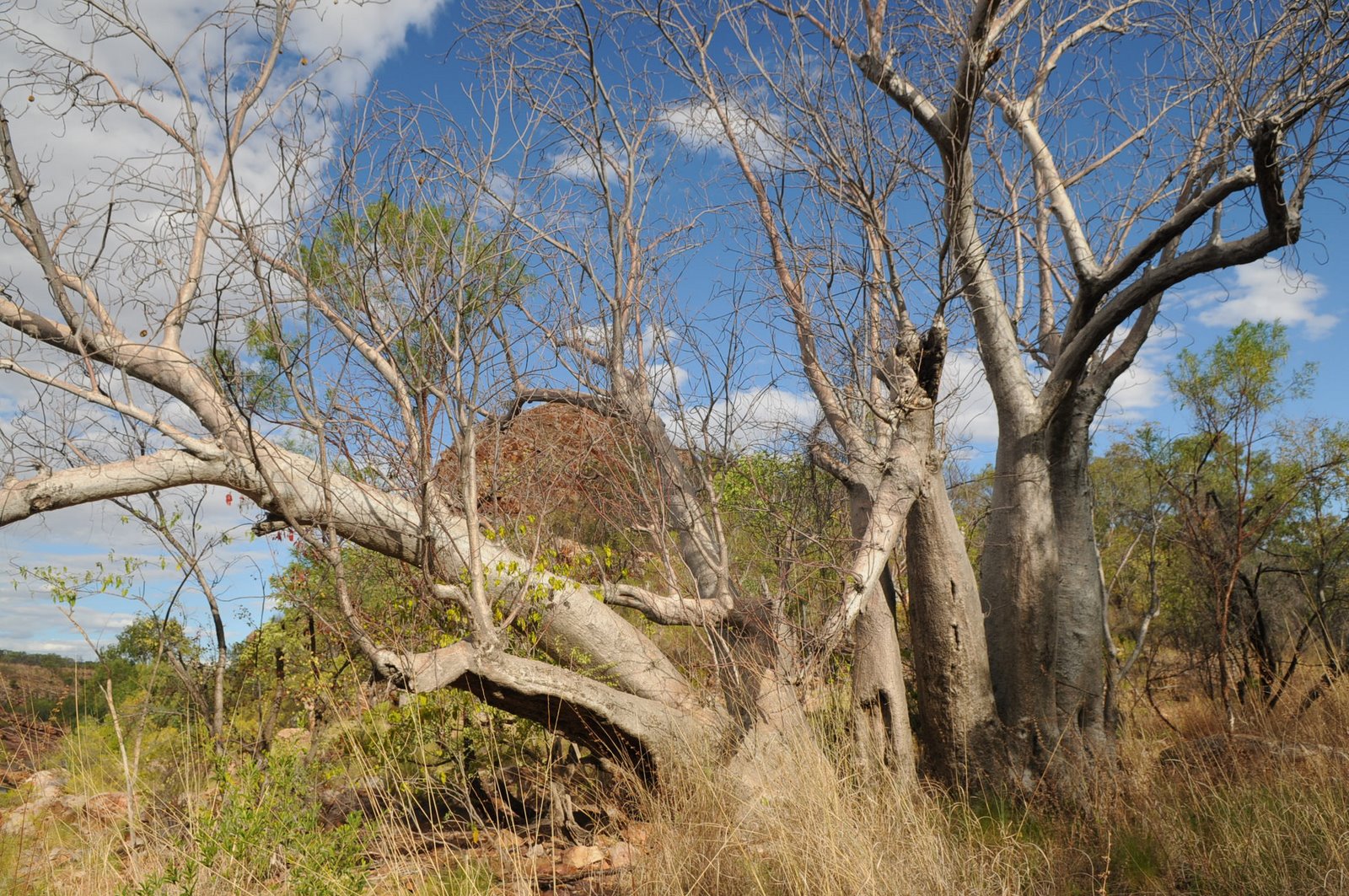
We then took the 90km dirt road to Mornington Wilderness Camp which had been a cattle station that was bought by the Australian Wildlife Conservancy and they are removing the cattle and helping the natural flora and fauna regenerate. The countryside and scenery was beautiful Kimberley.
Saturday 13 September – Friday 19 September
Manning Gorge to Broome
Blog 8
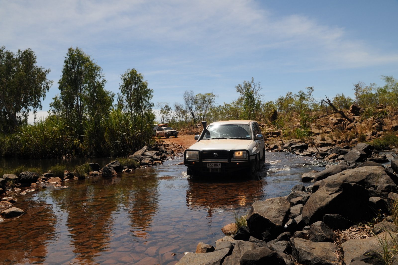
From Manning Gorge we drove to Adcock Gorge which was another one of the gorges that we didn’t look at on the way up. The road was definitely a 4WD track but we made it into the gorge which was quite small but worth the look.
We then took the 90km dirt road to Mornington Wilderness Camp which had been a cattle station that was bought by the Australian Wildlife Conservancy and they are removing the cattle and helping the natural flora and fauna regenerate. The countryside and scenery was beautiful Kimberley.
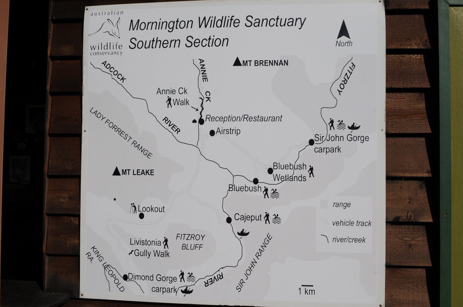
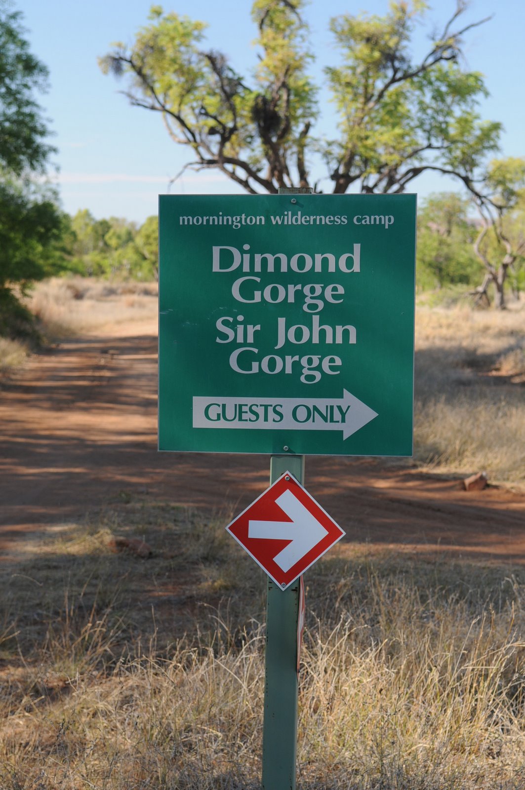
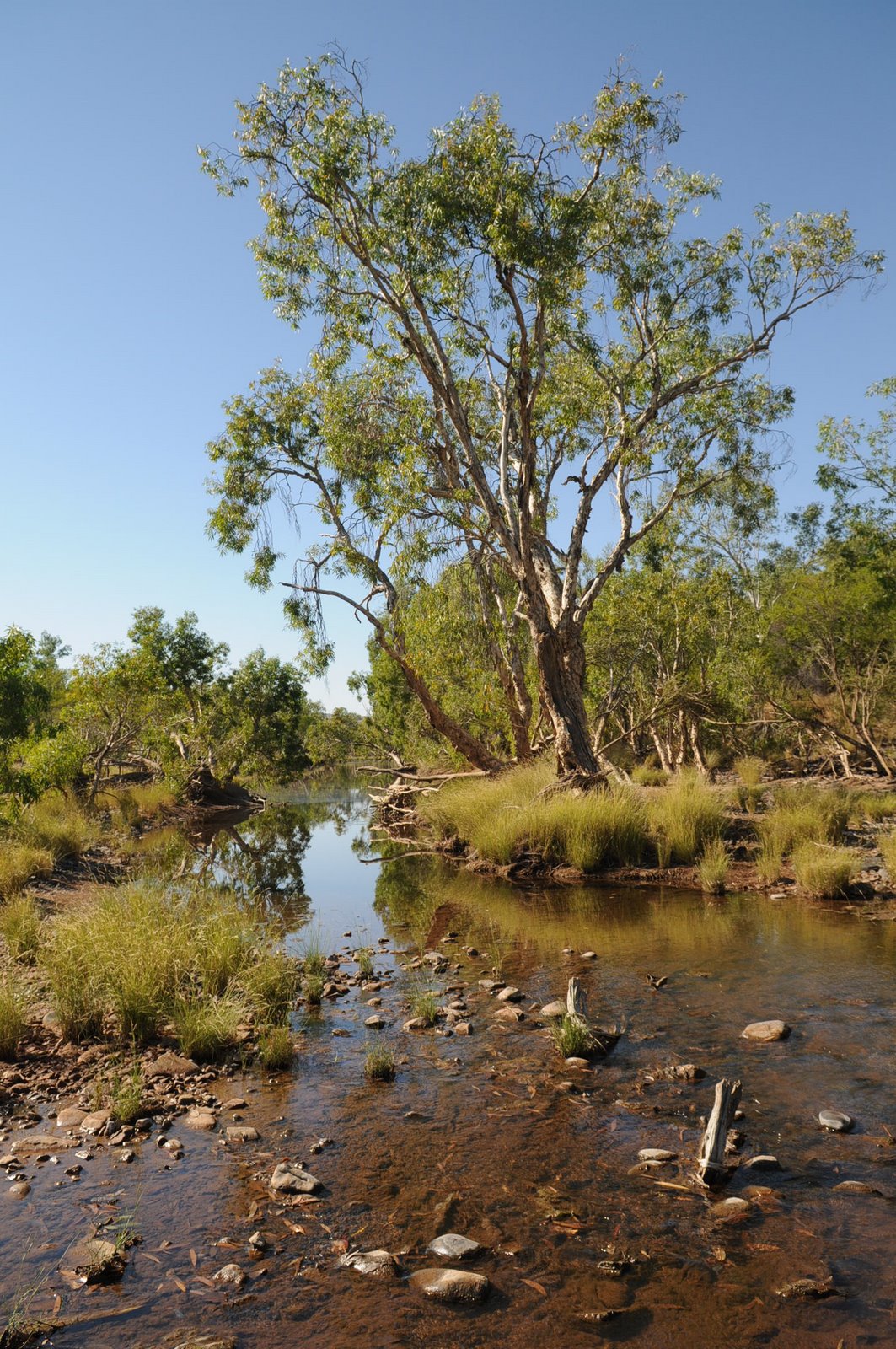
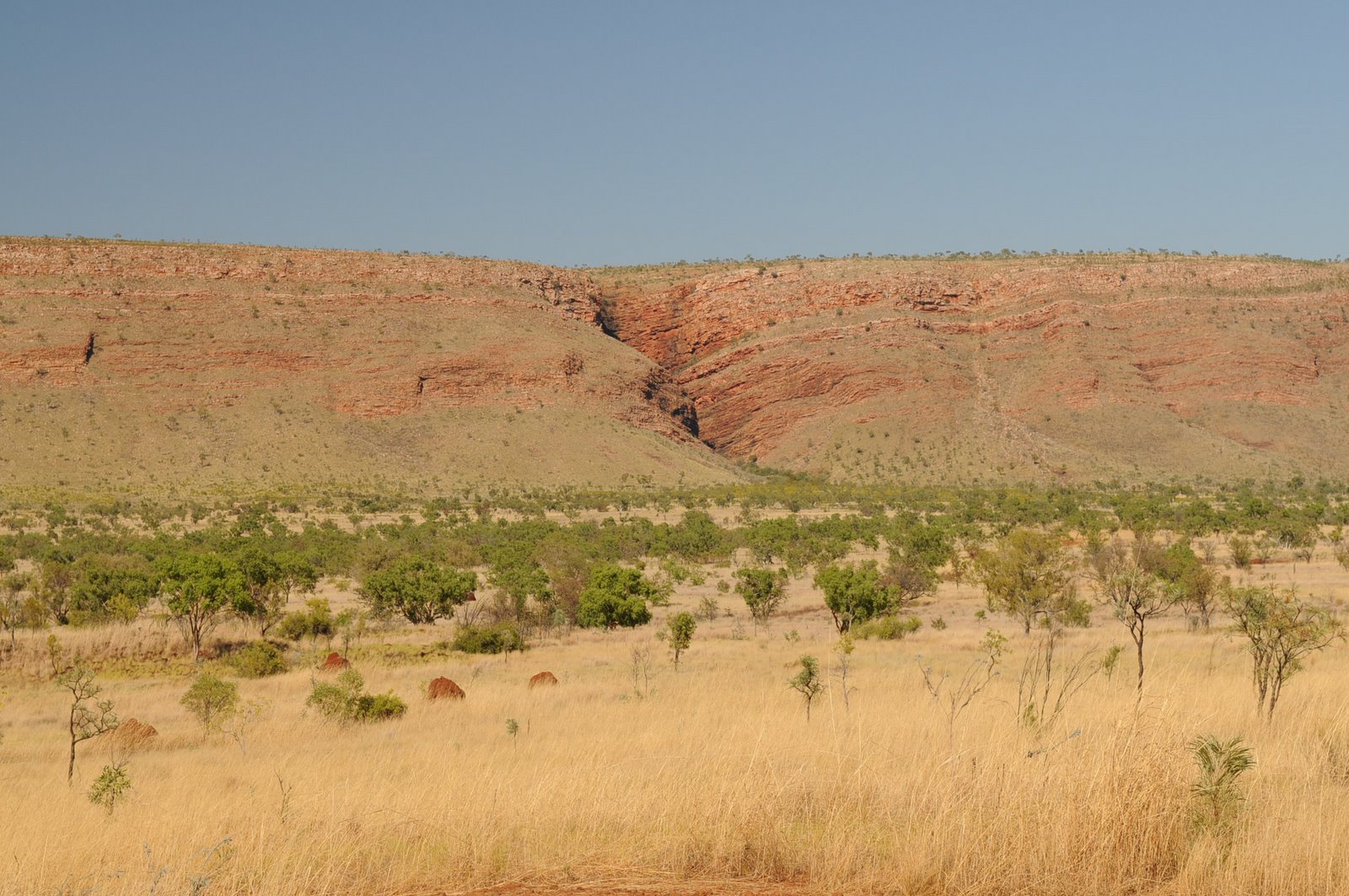
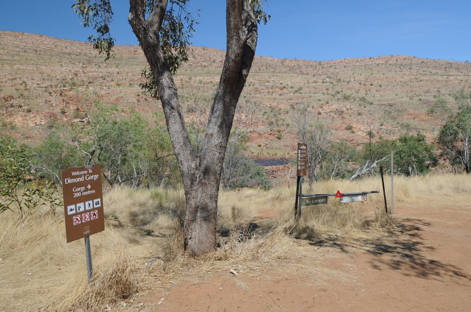
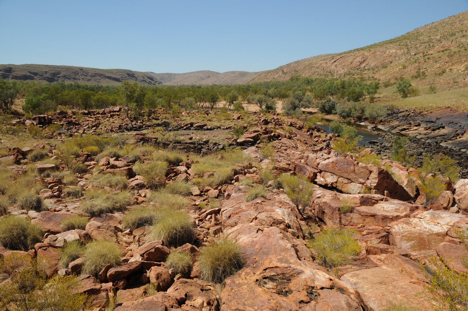
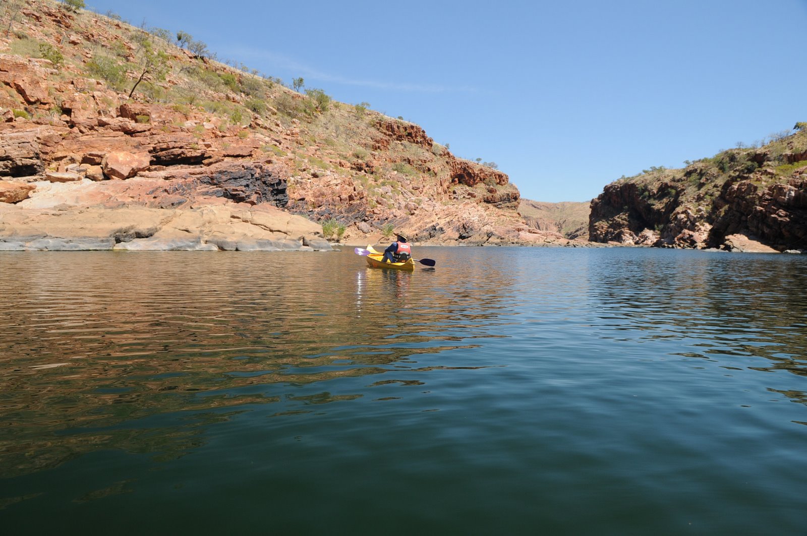
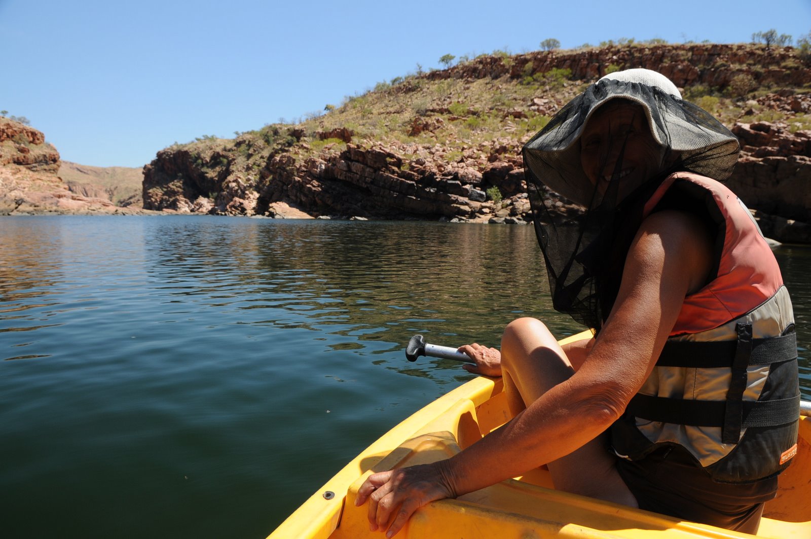
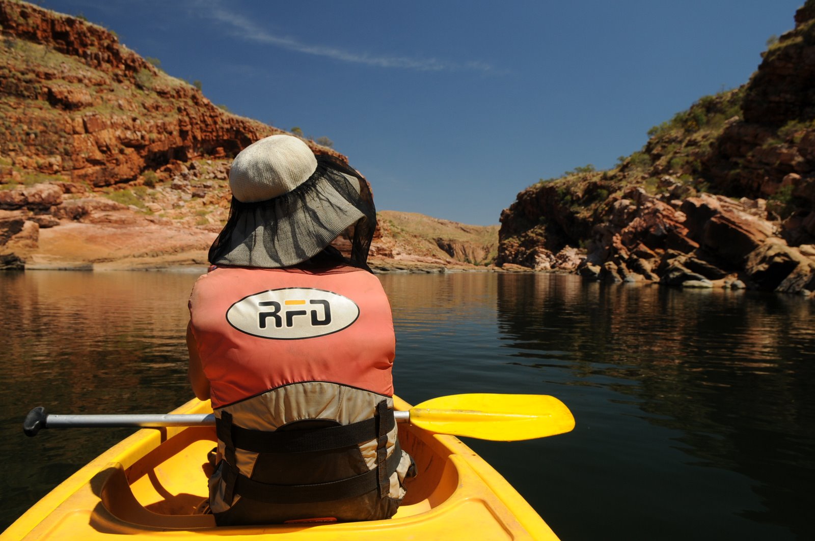
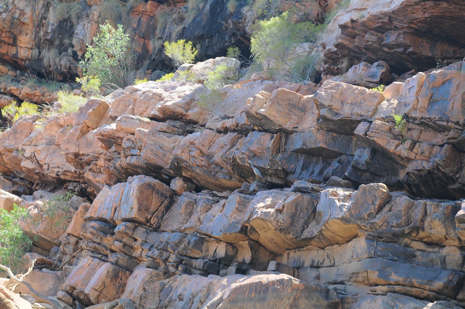
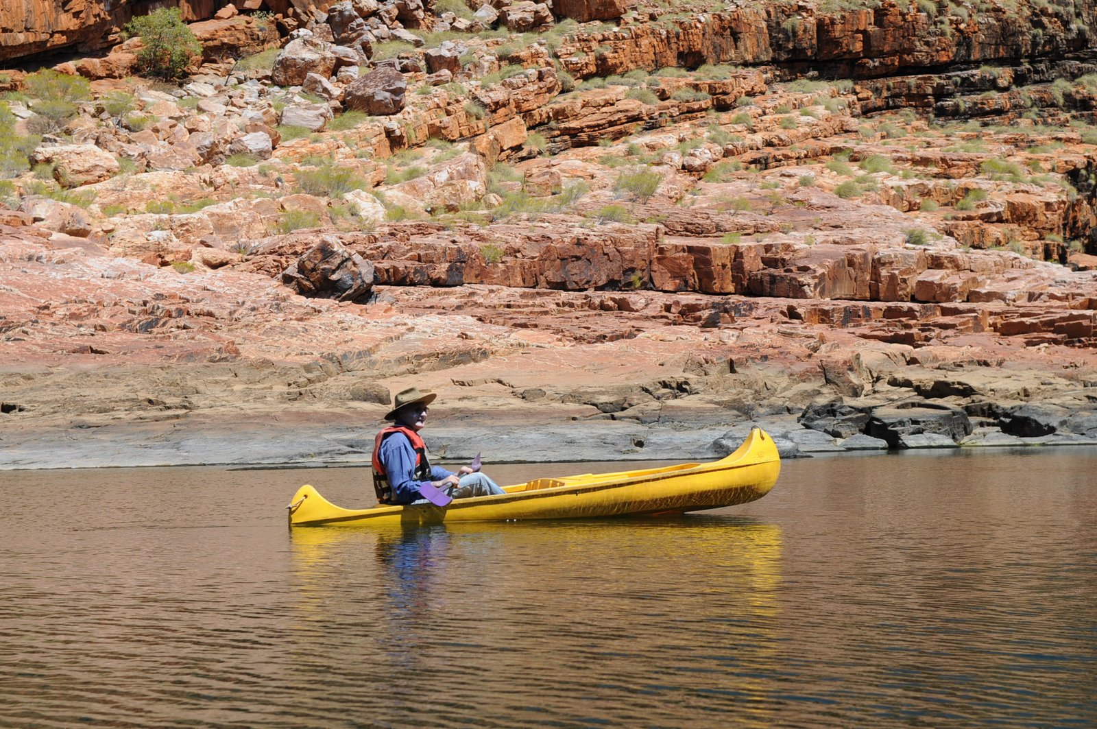
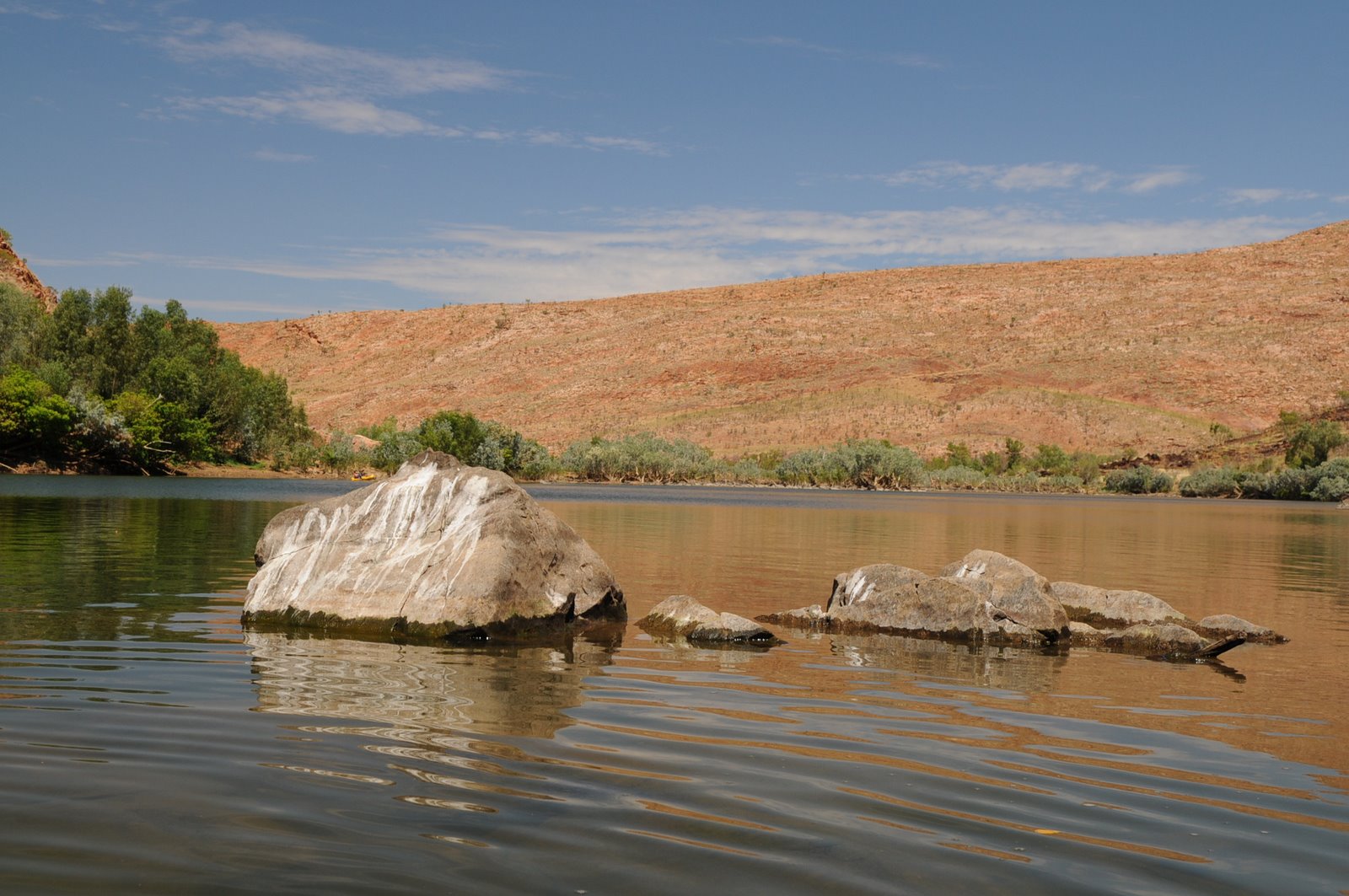
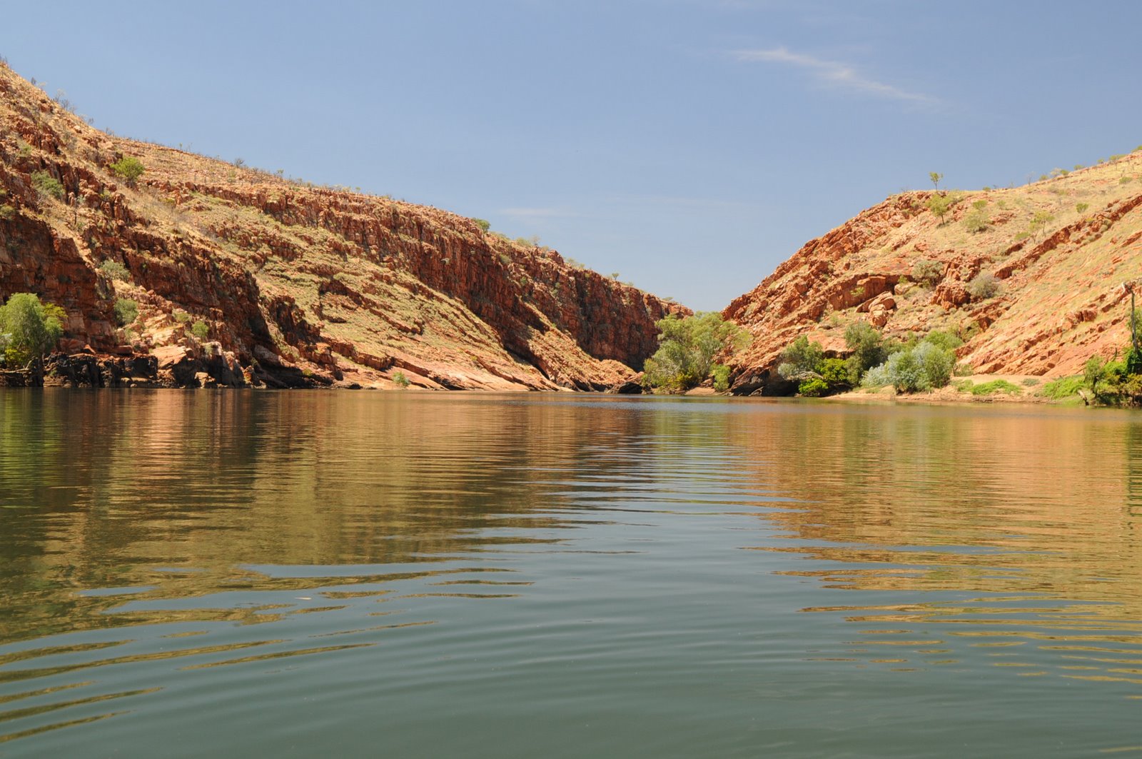
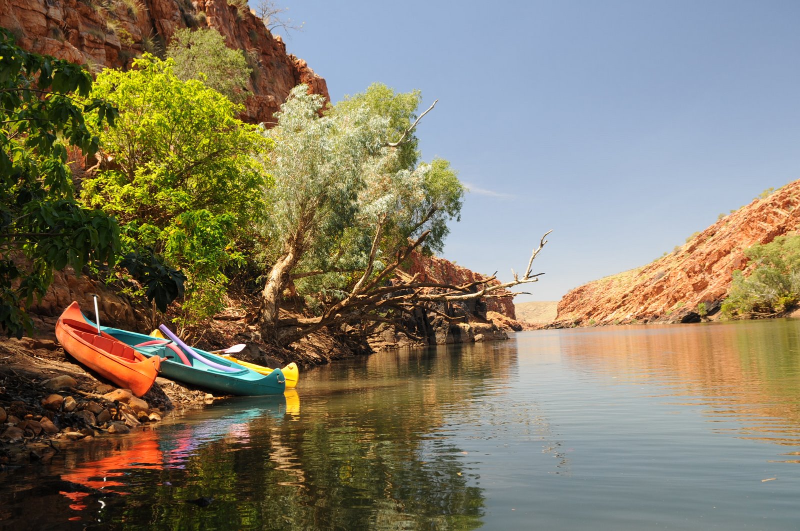
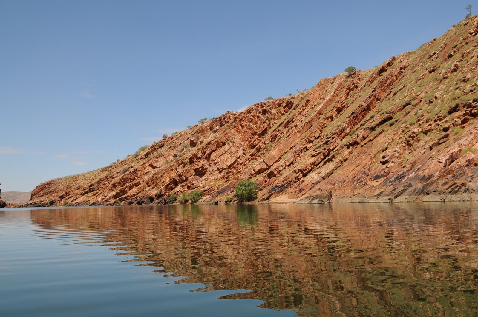
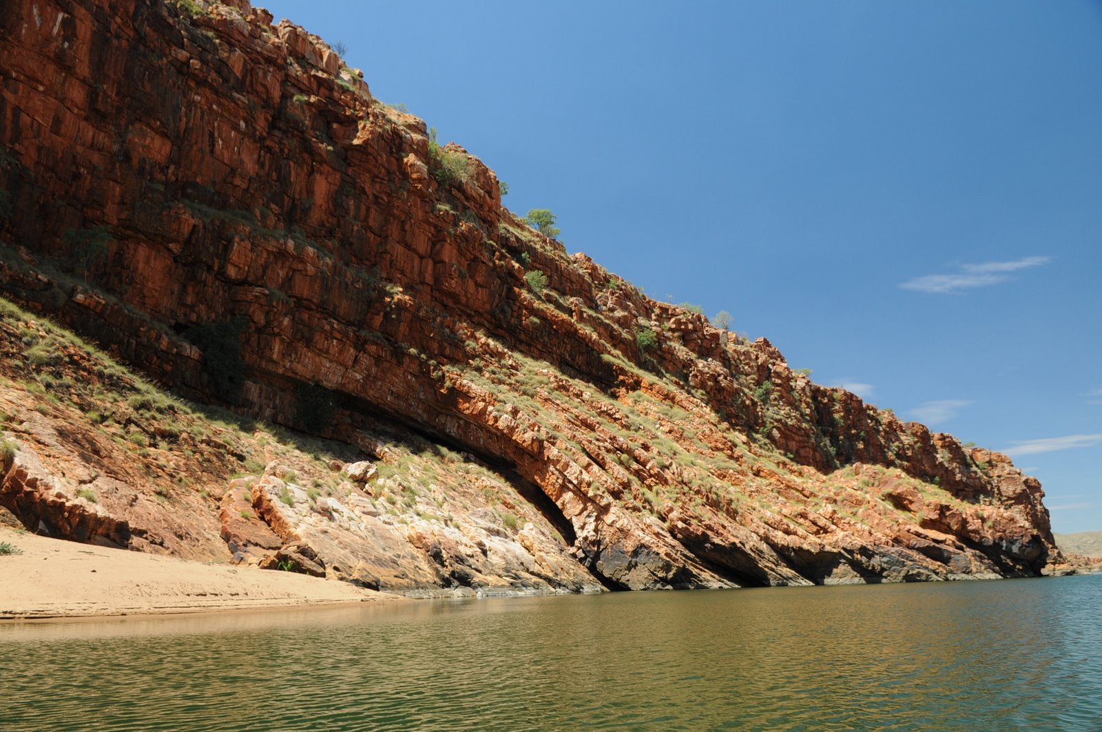
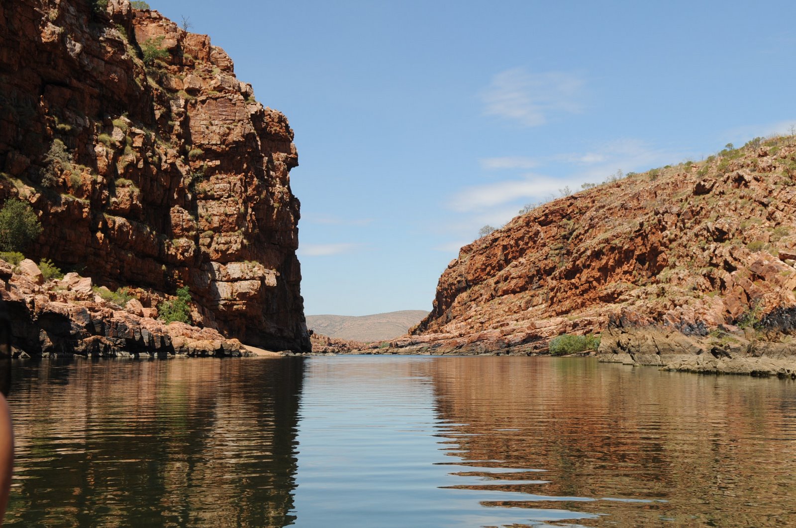
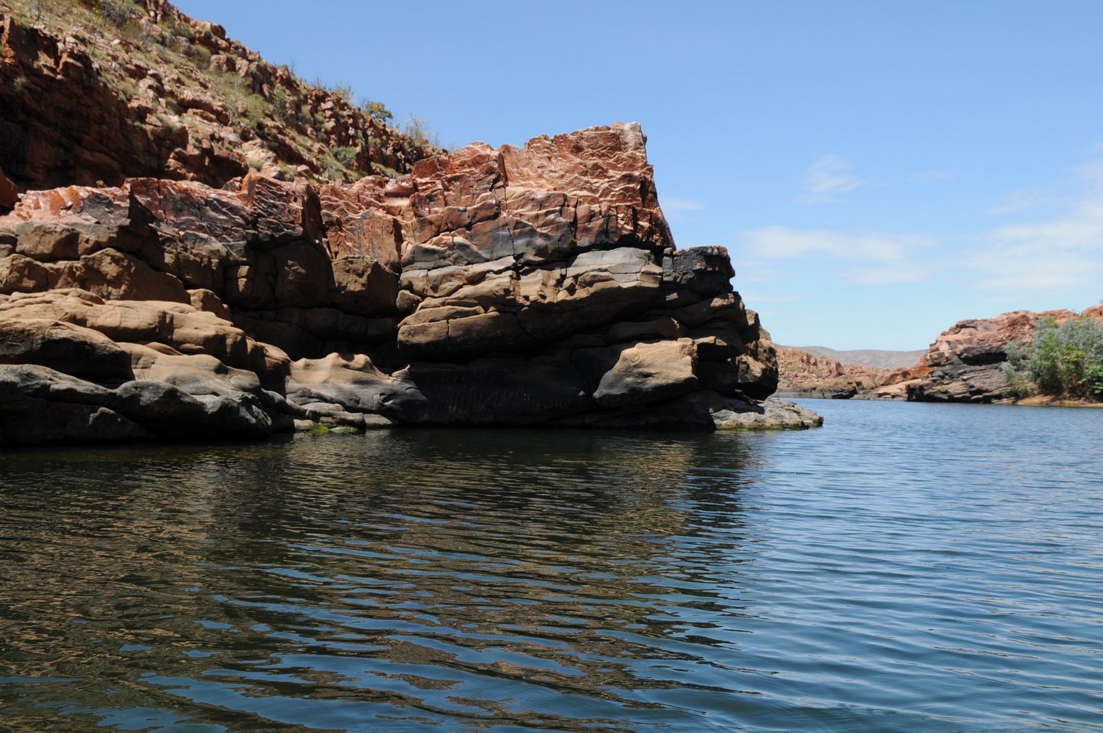
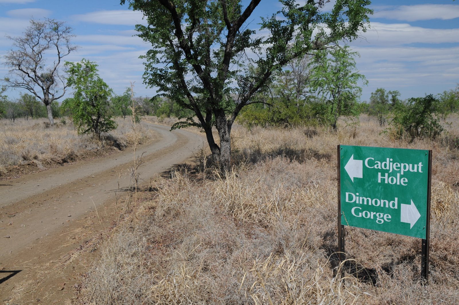
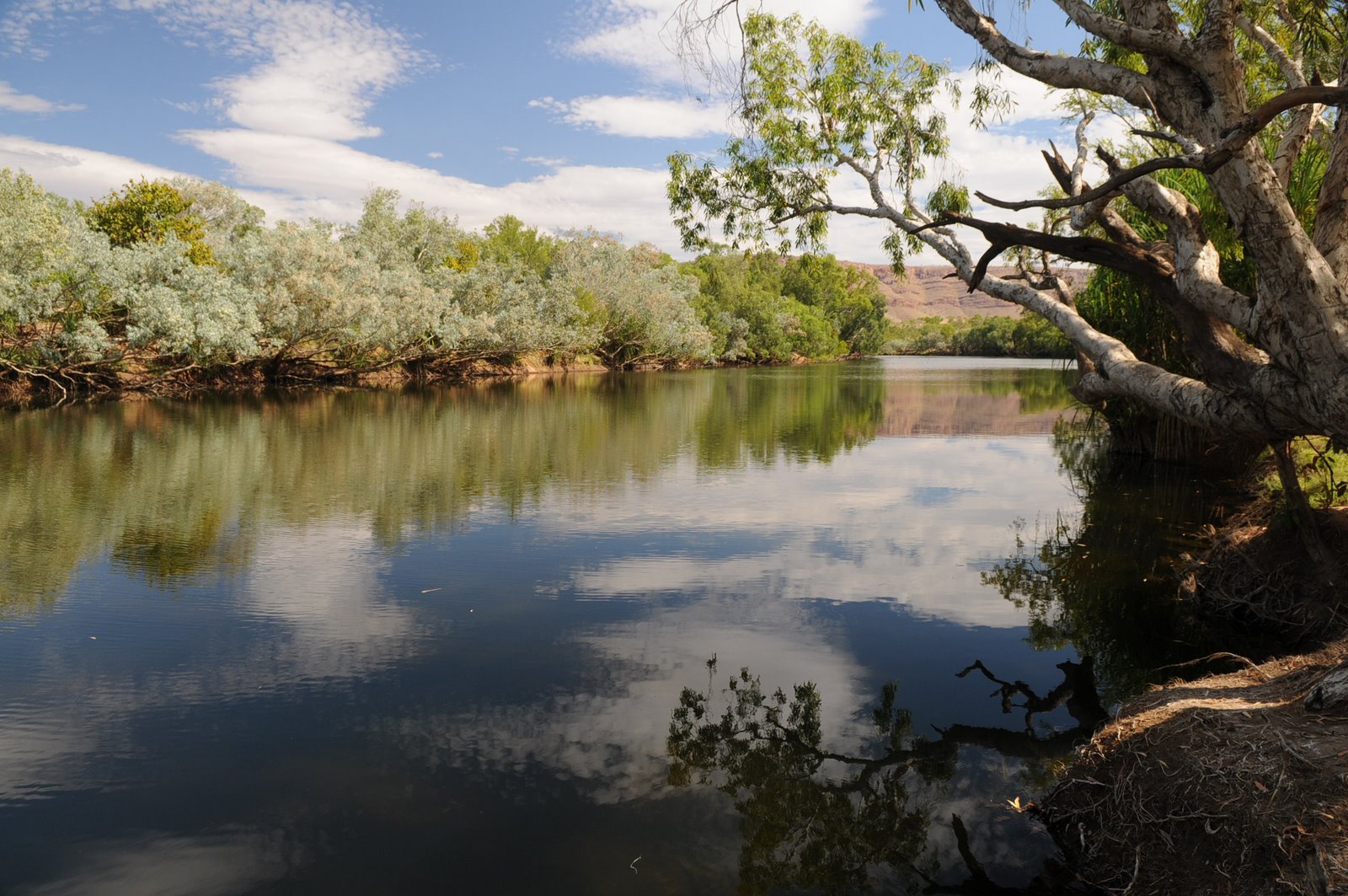
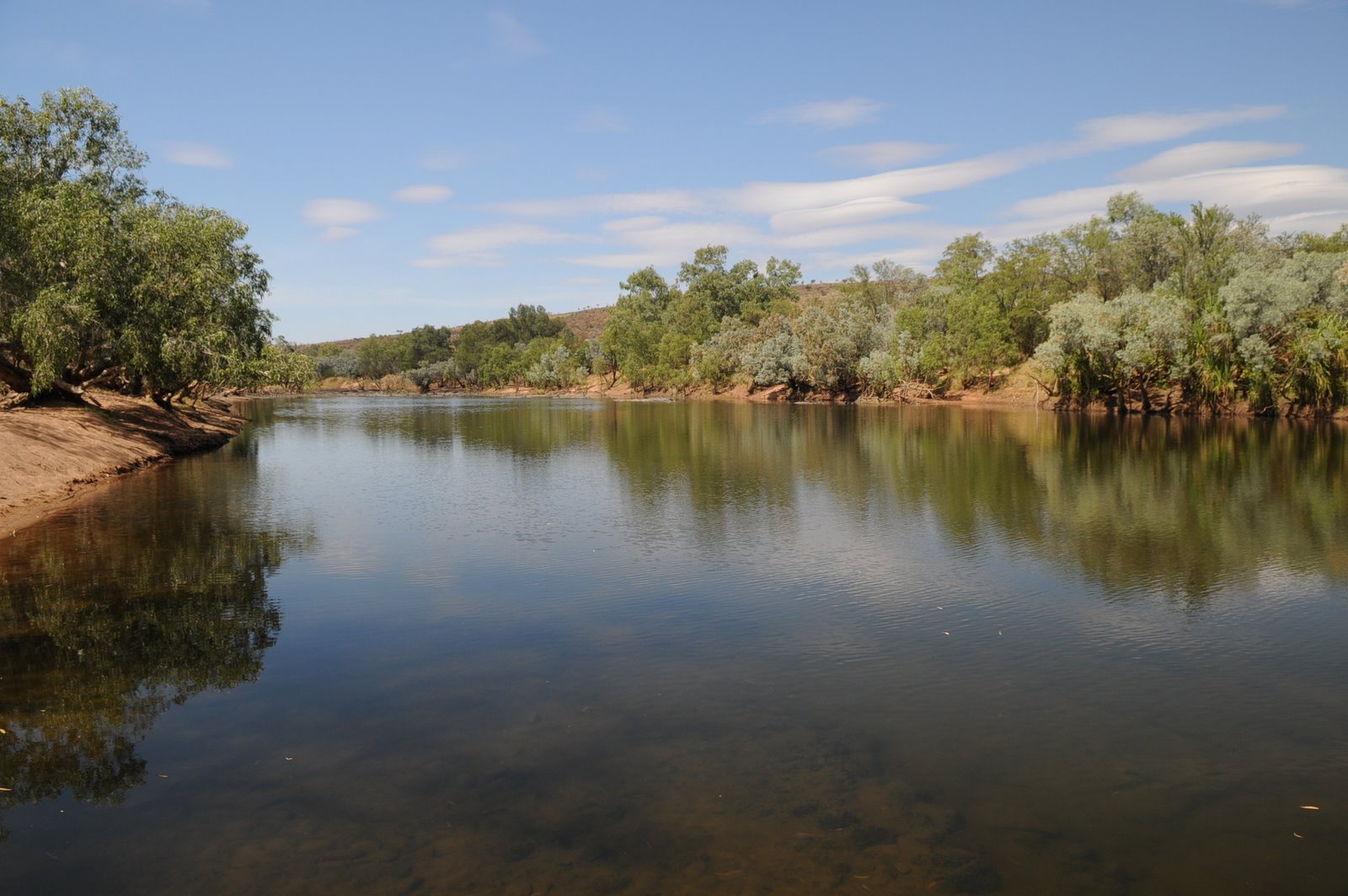
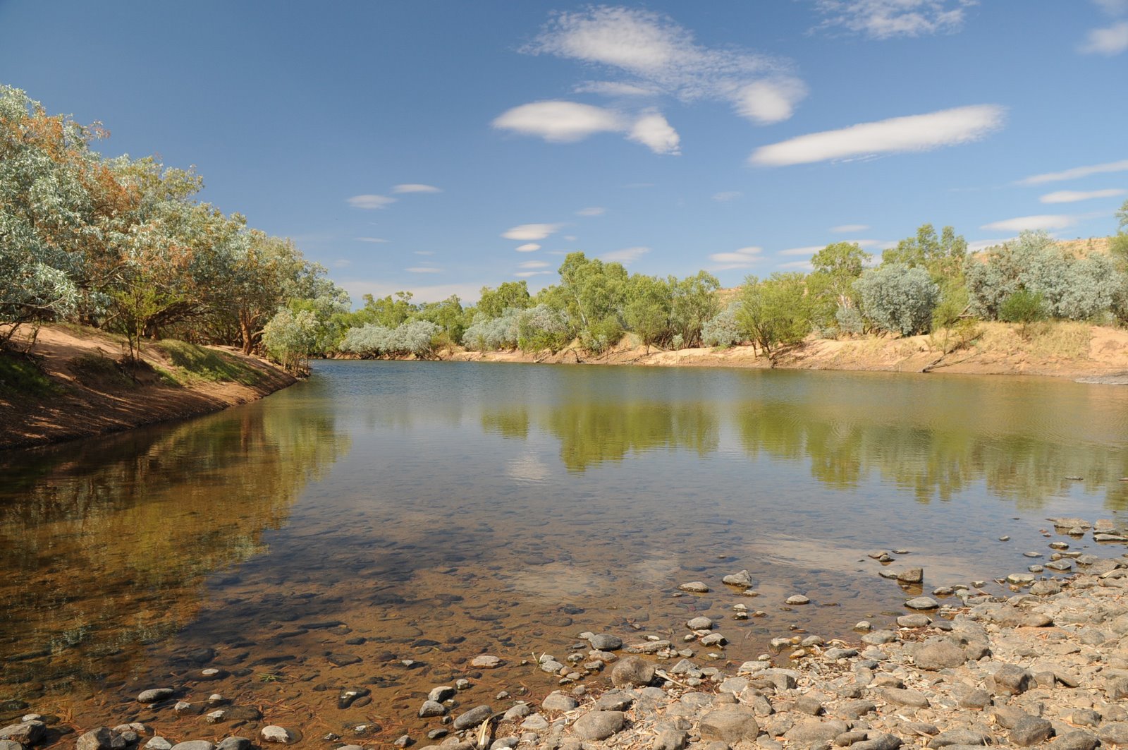
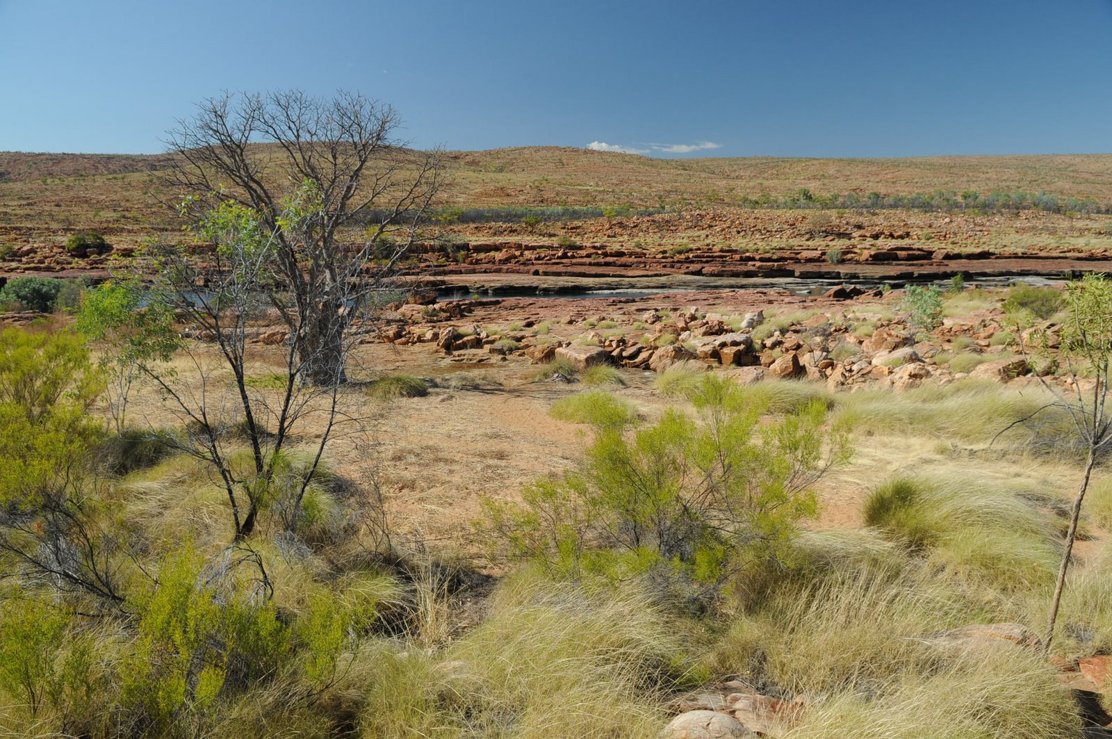
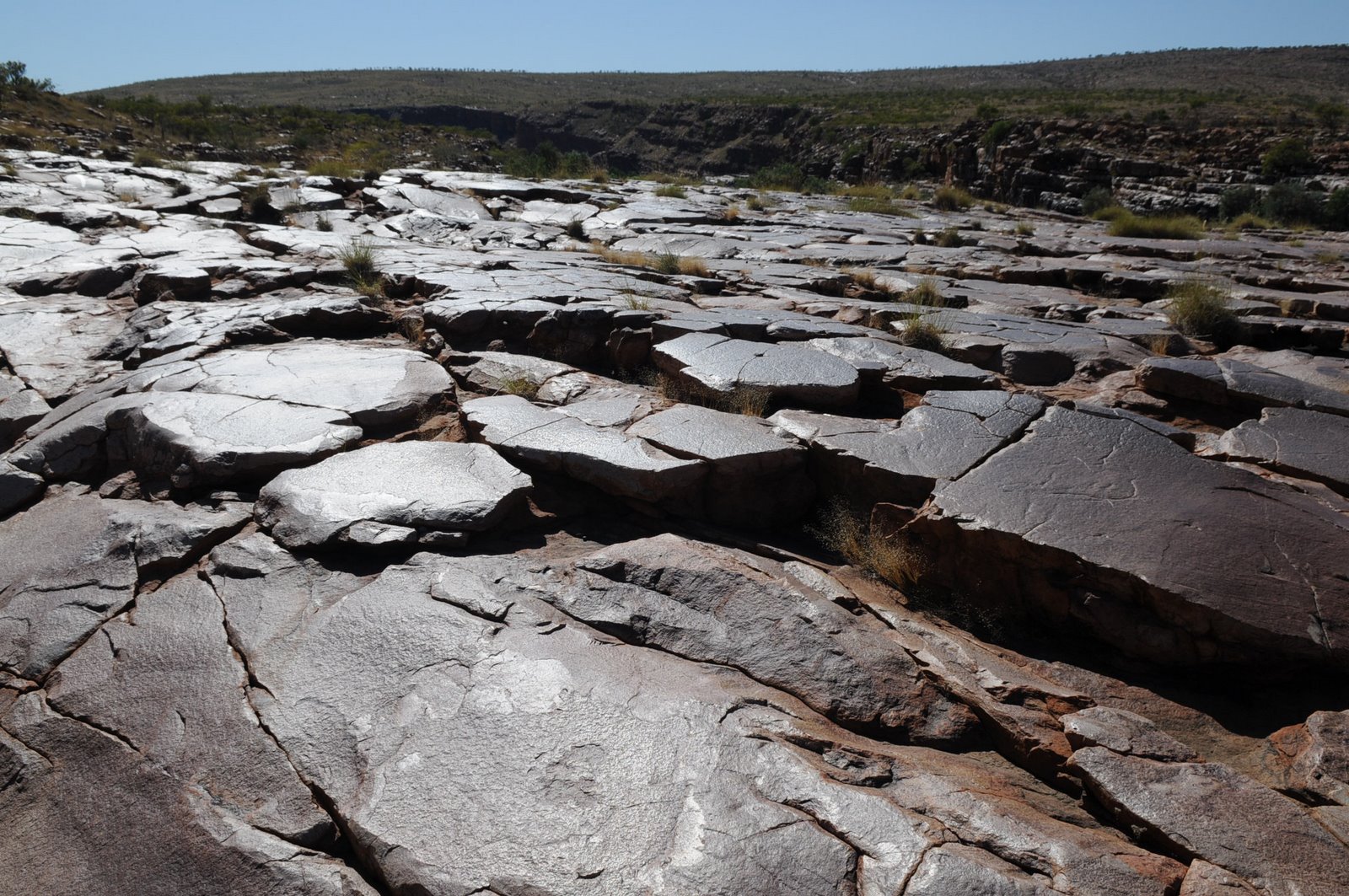
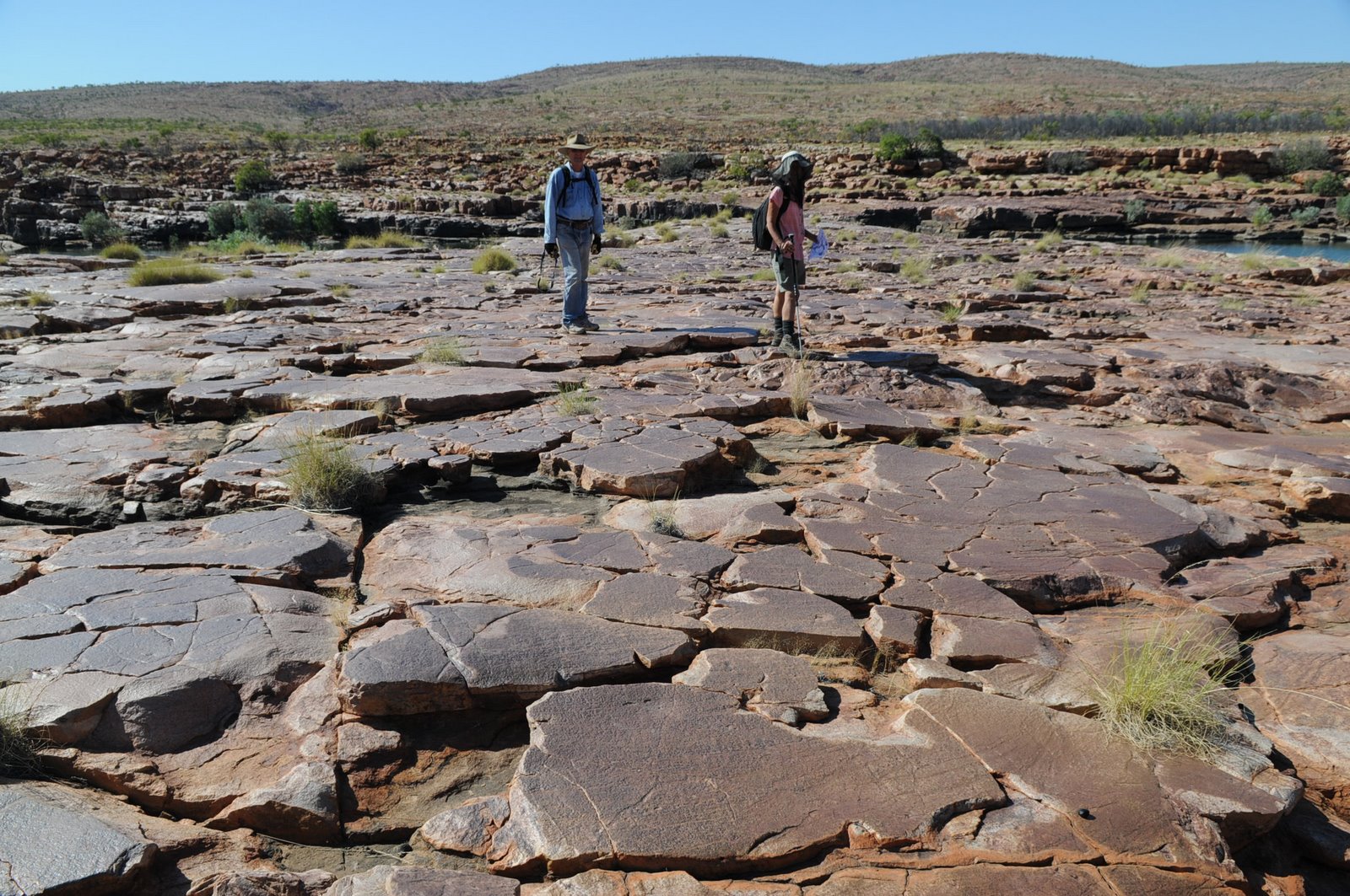
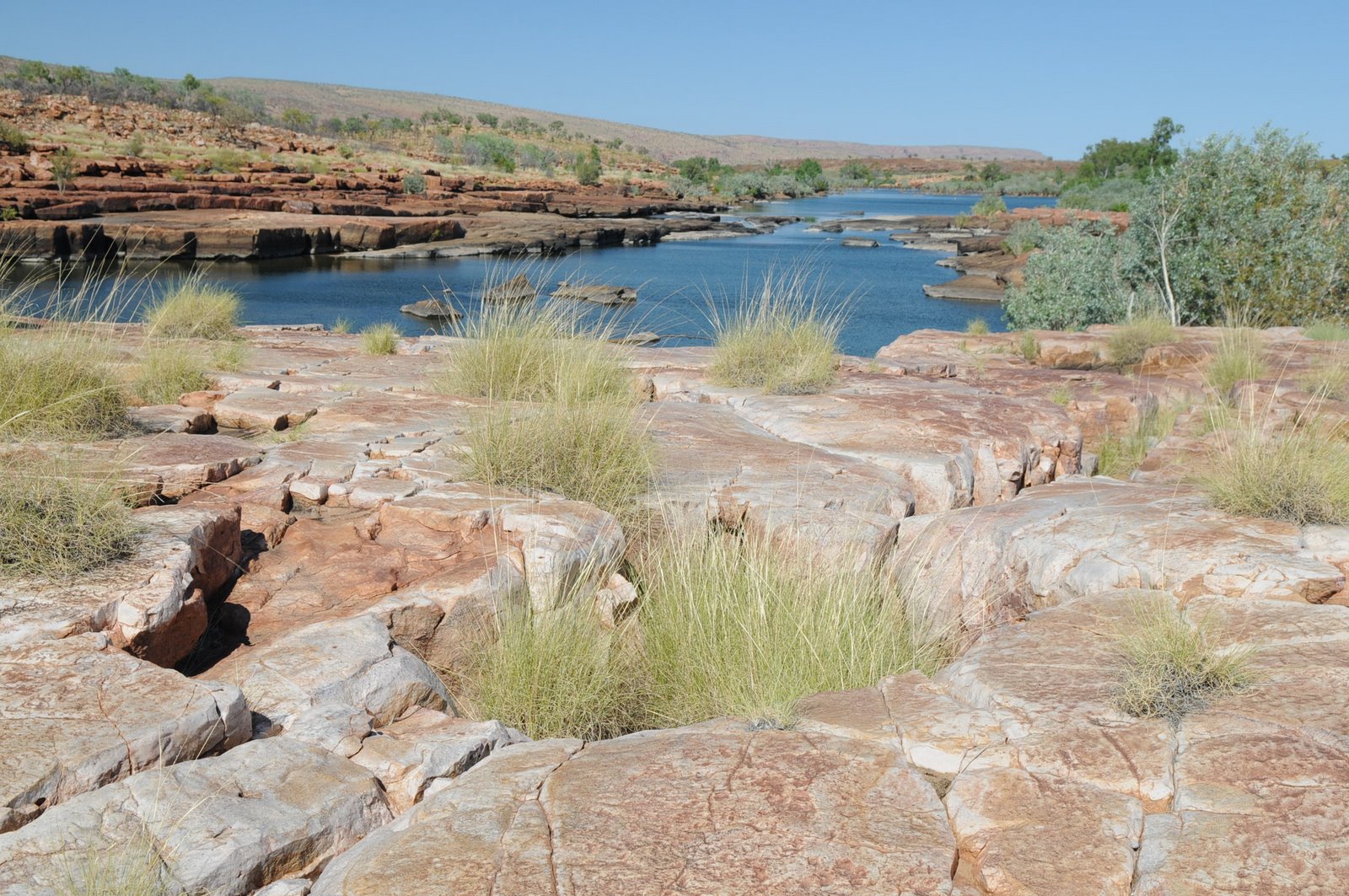
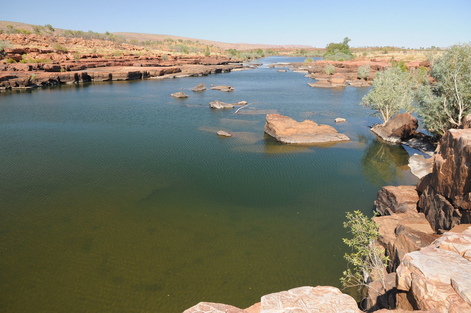
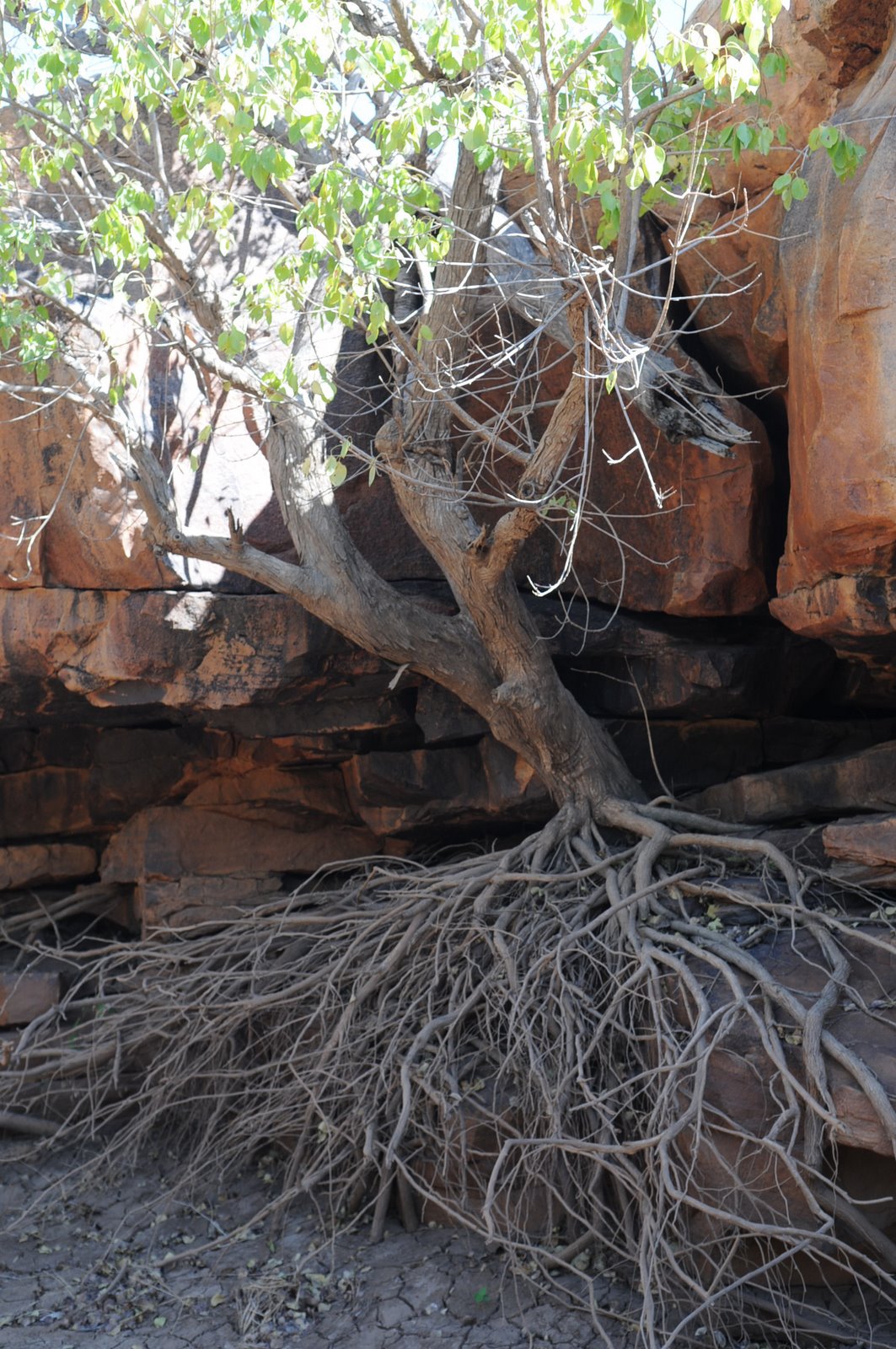
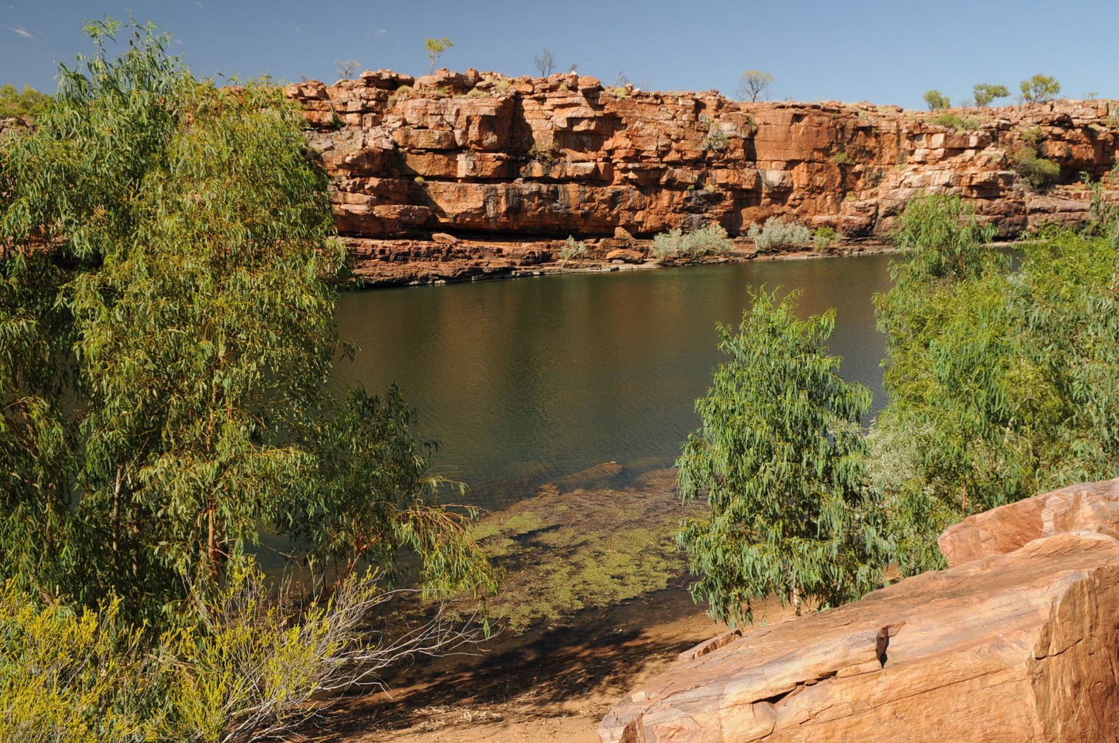
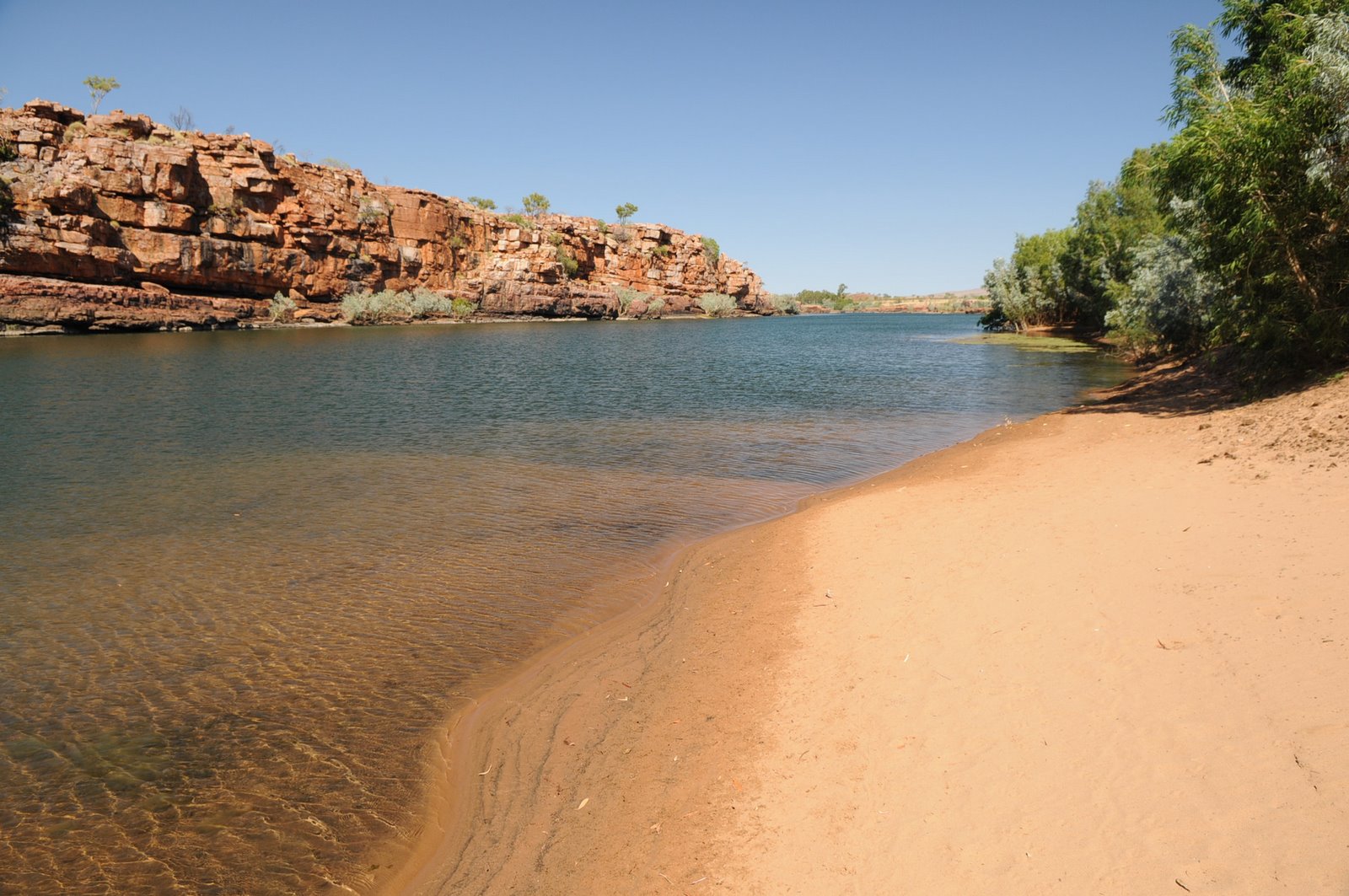
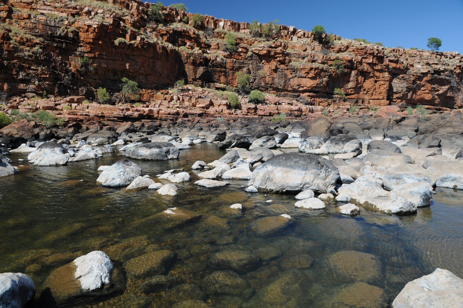
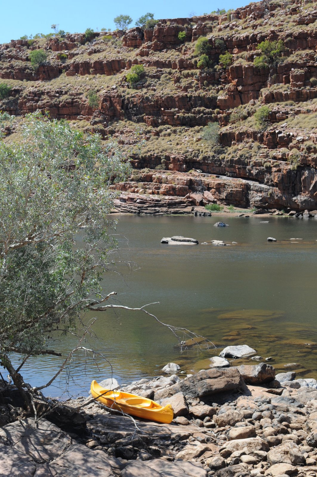
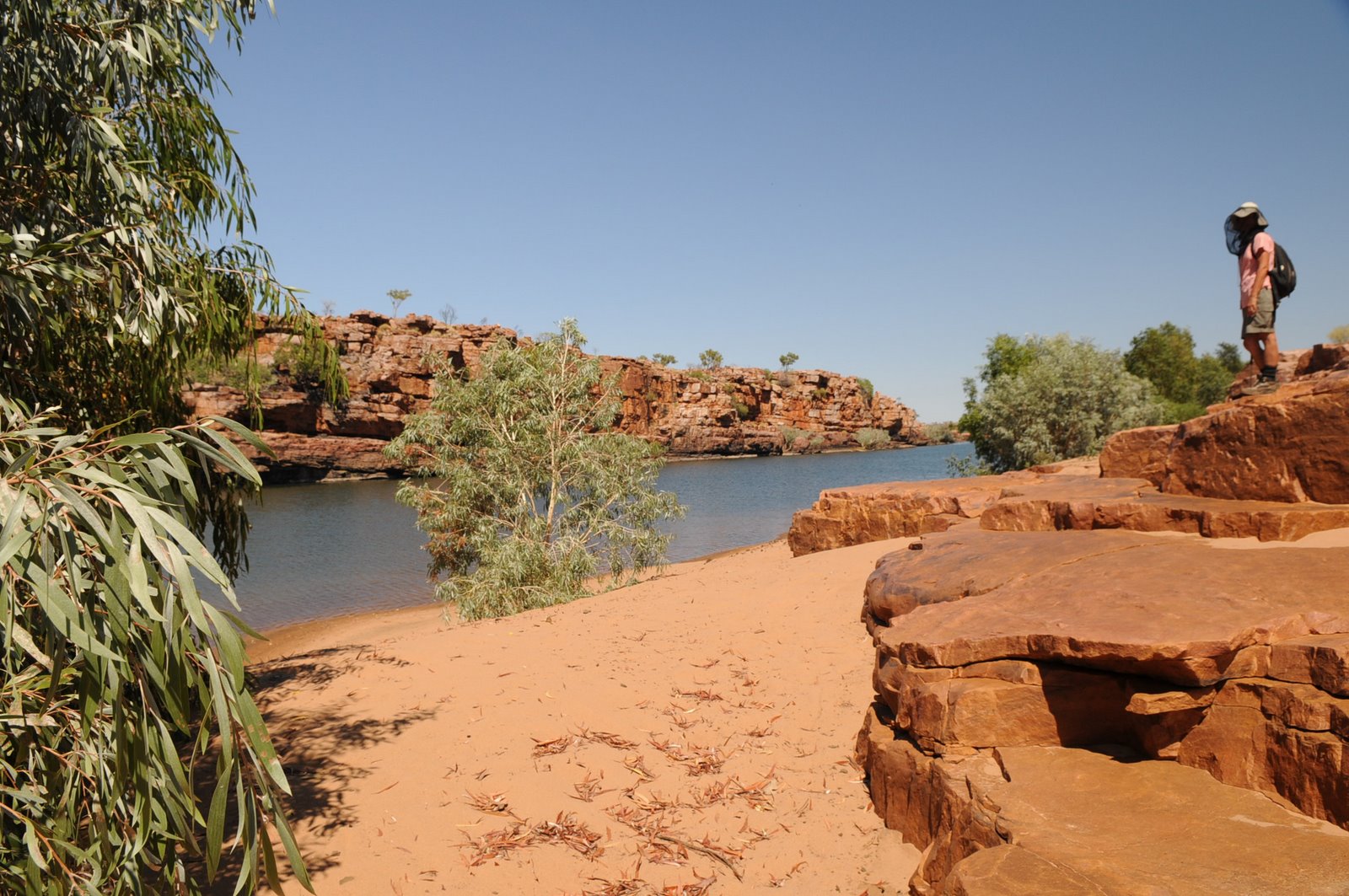
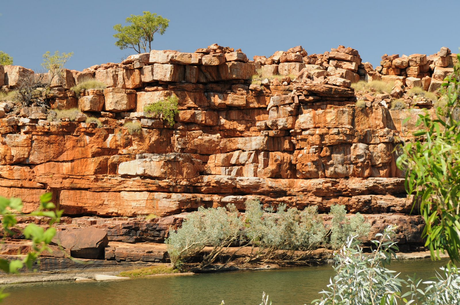
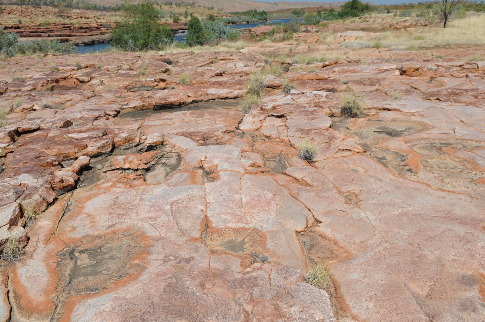
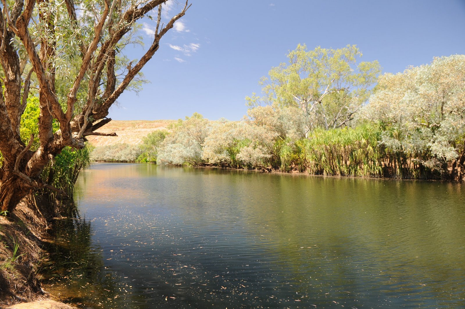
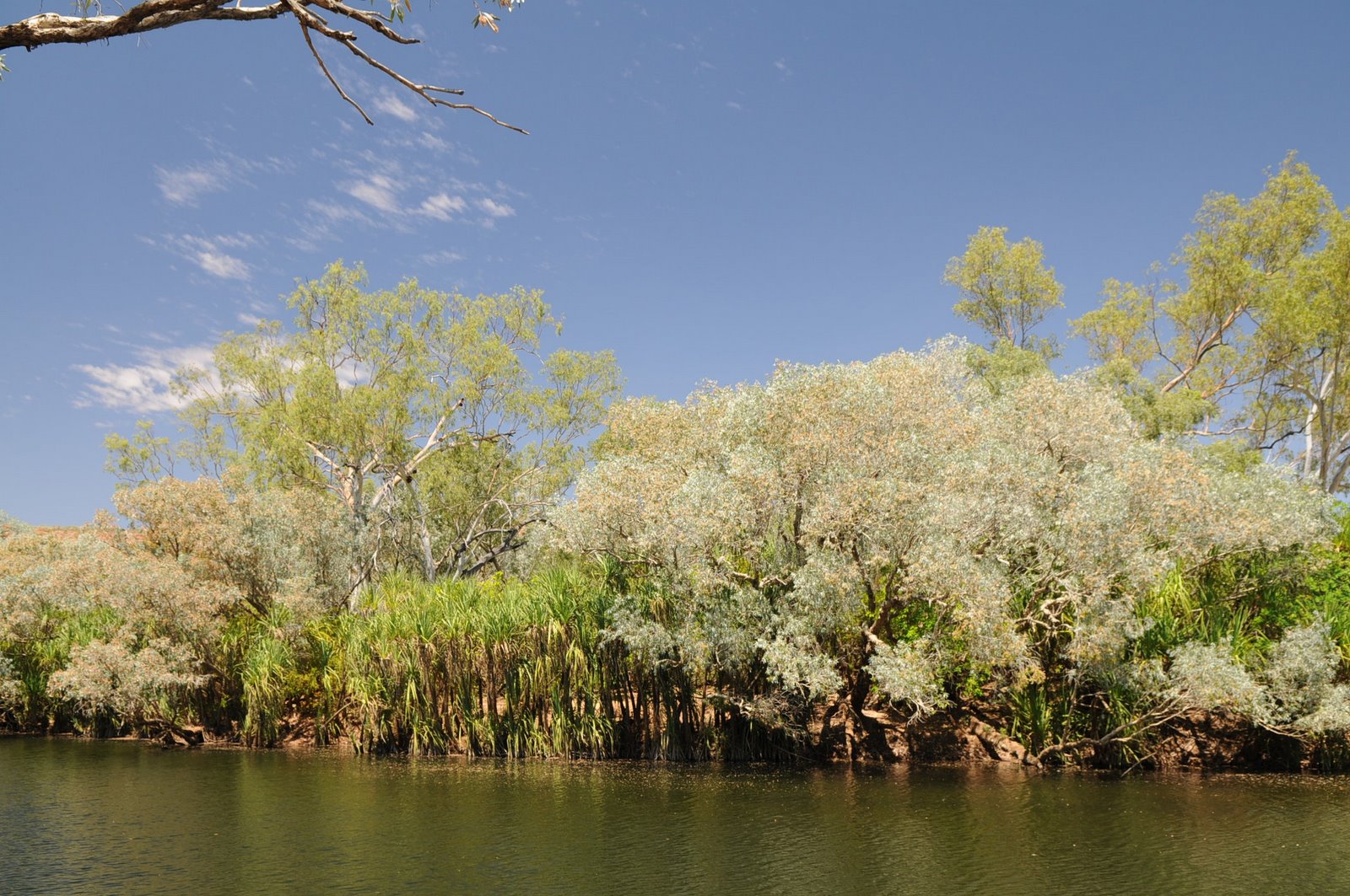
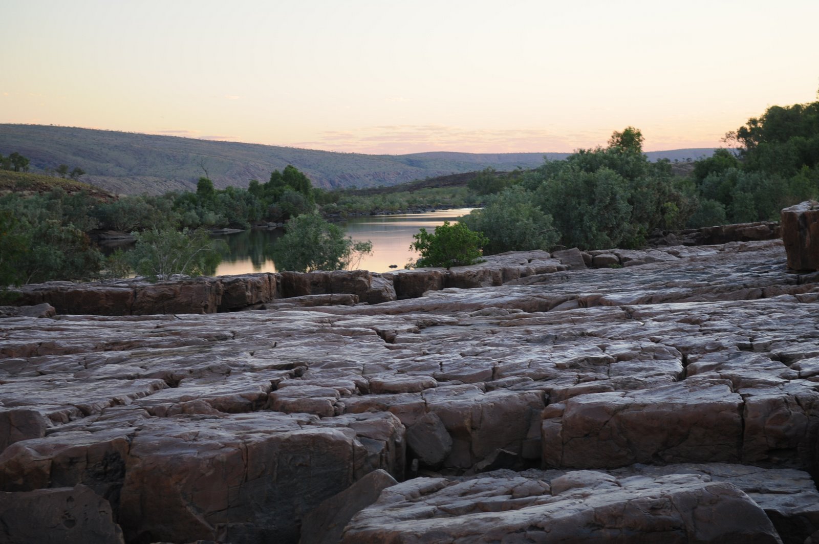
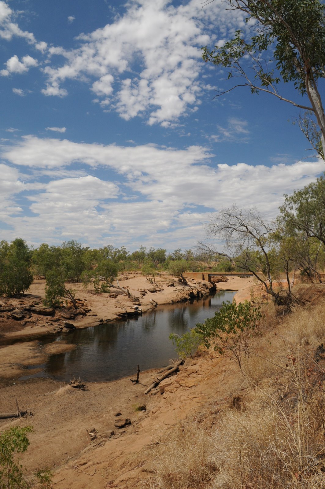
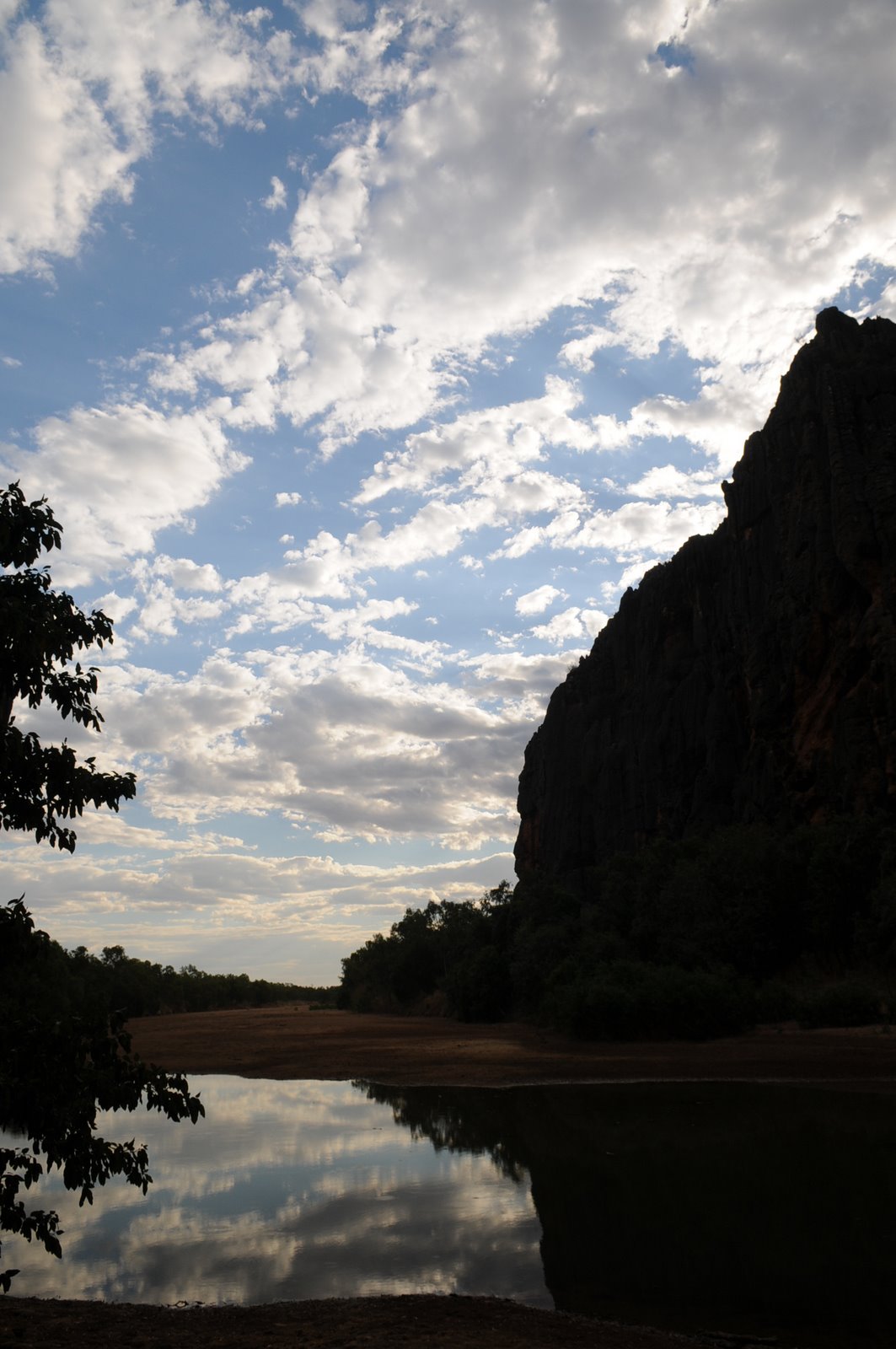
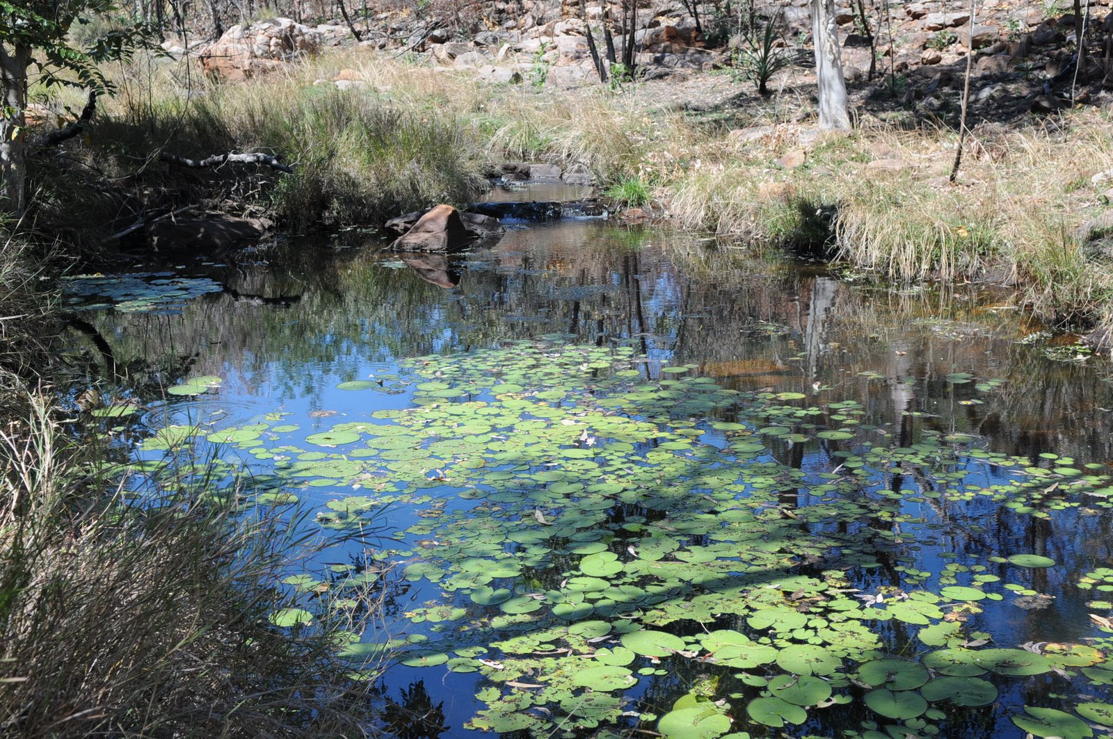
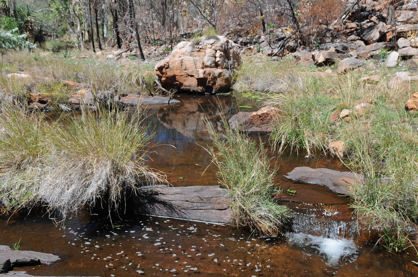
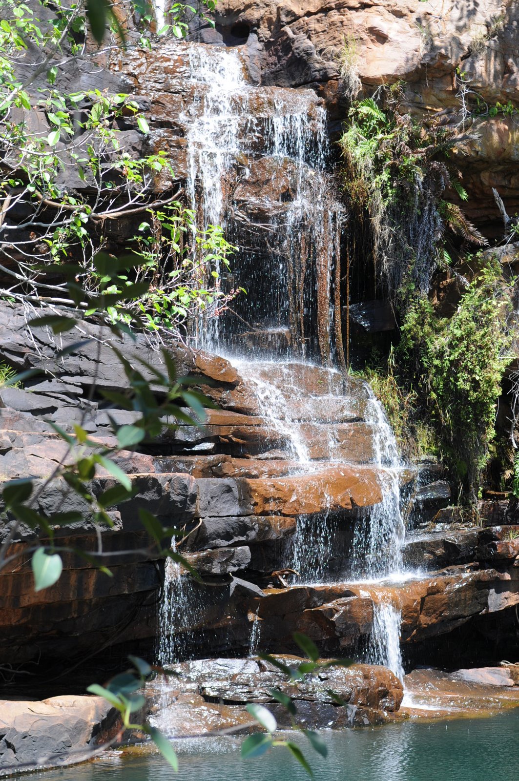
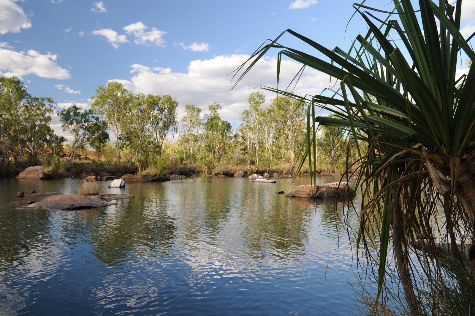
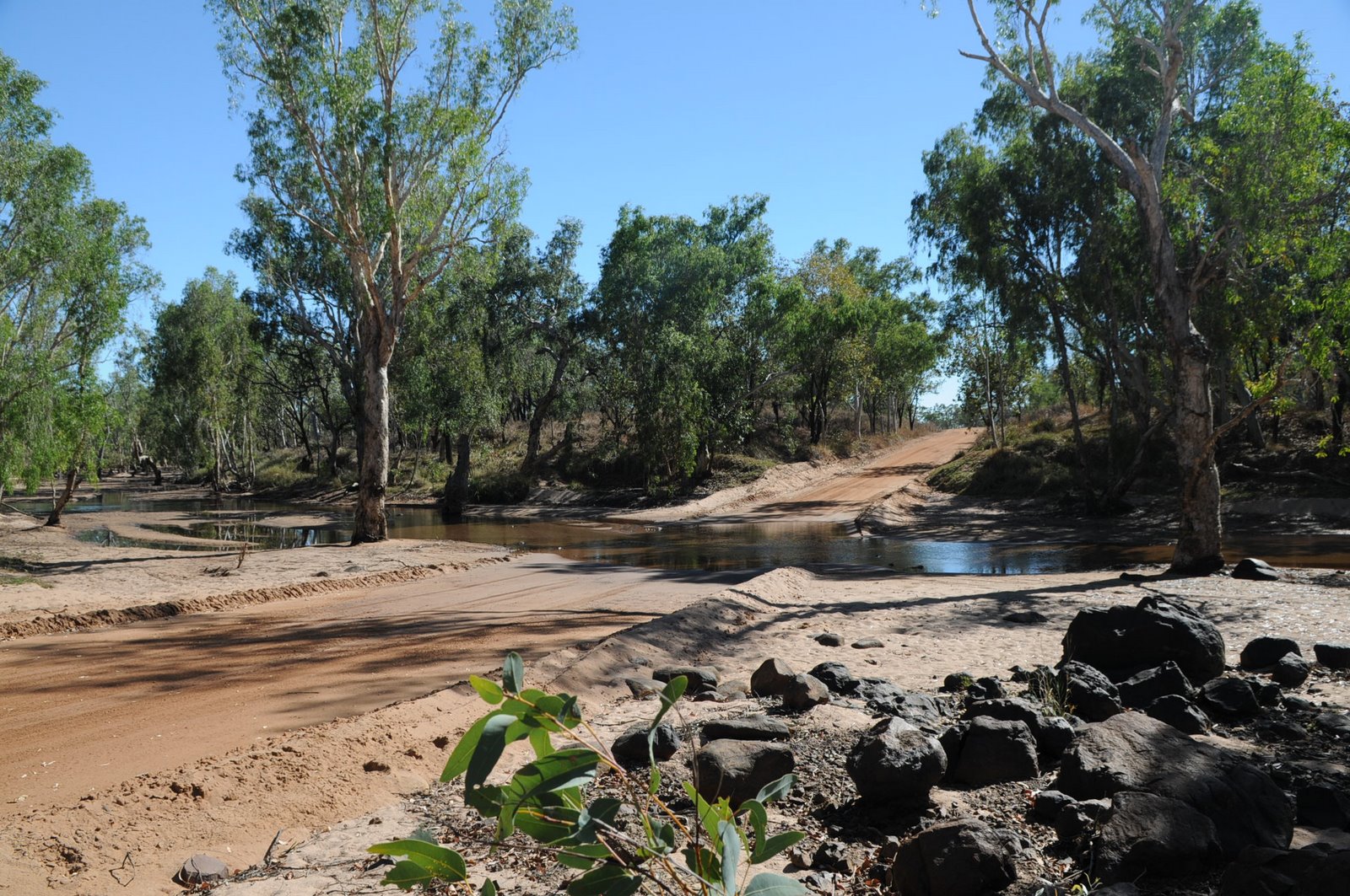
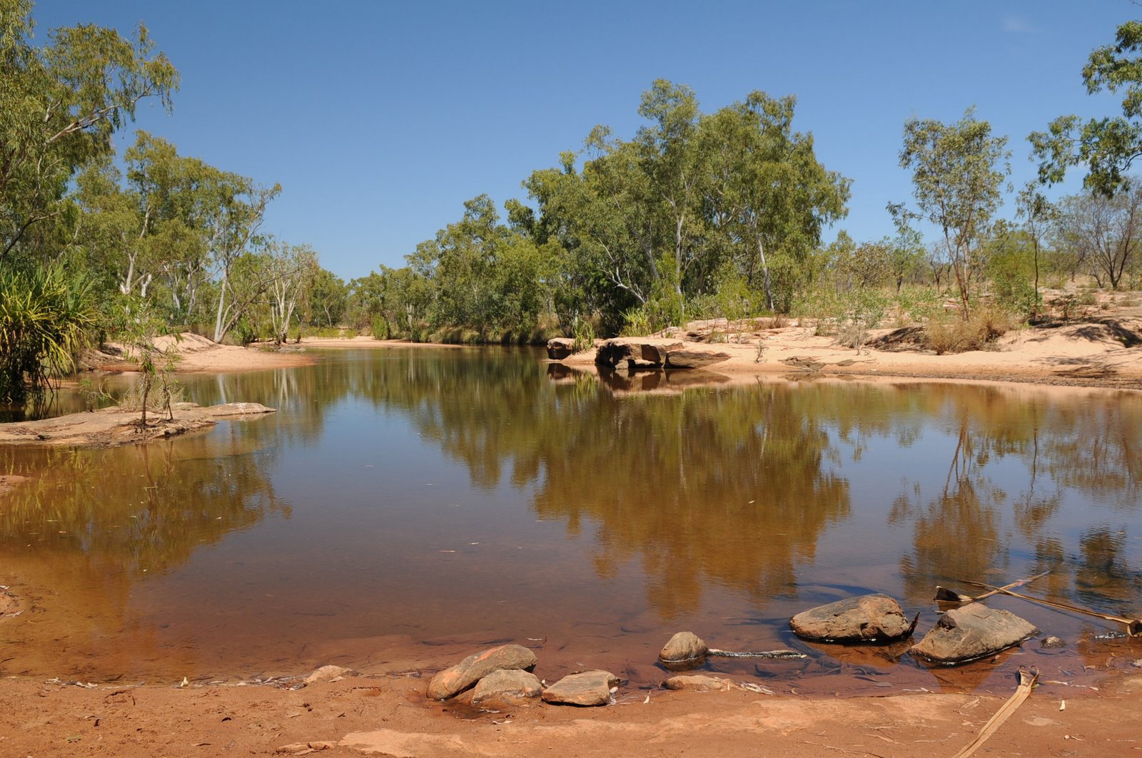
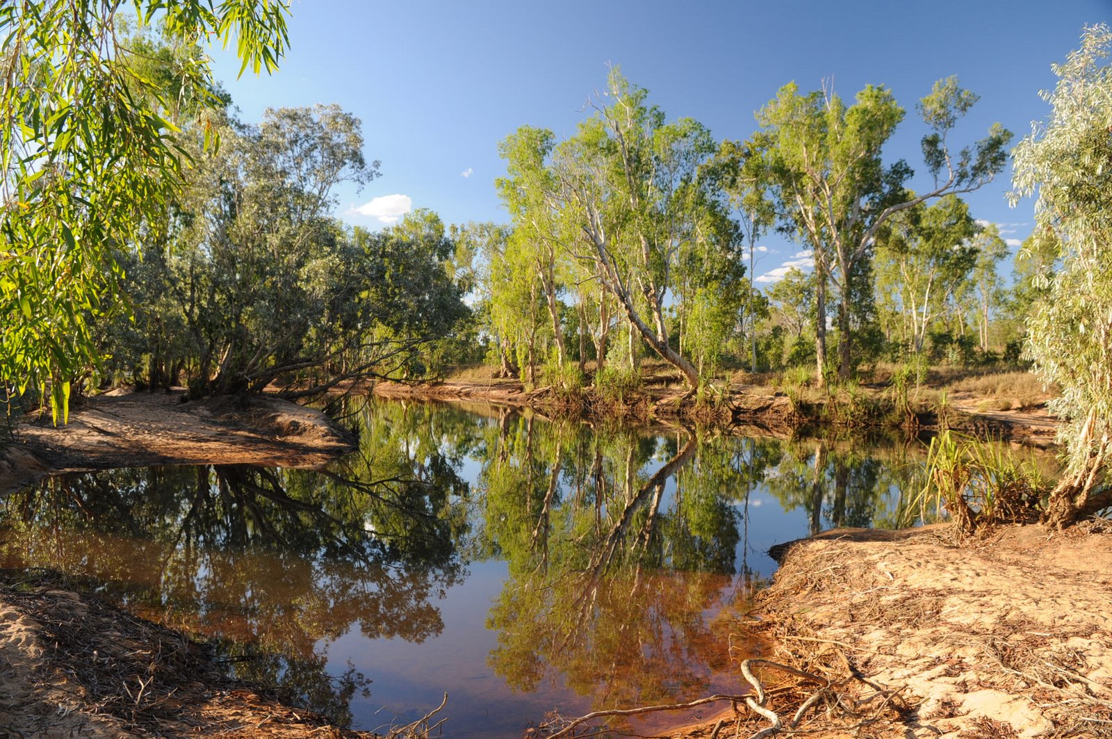
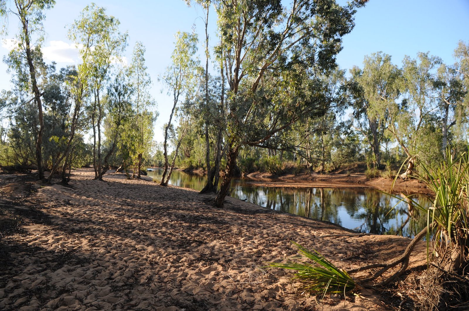
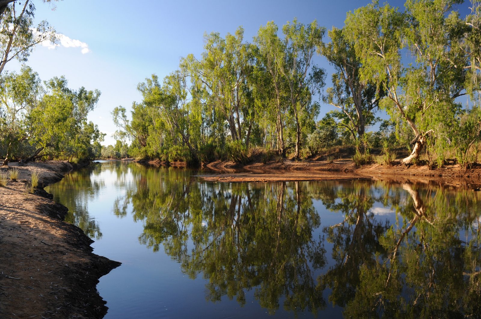
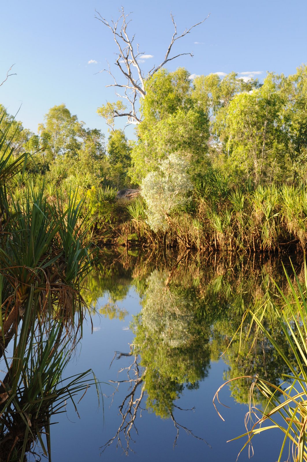
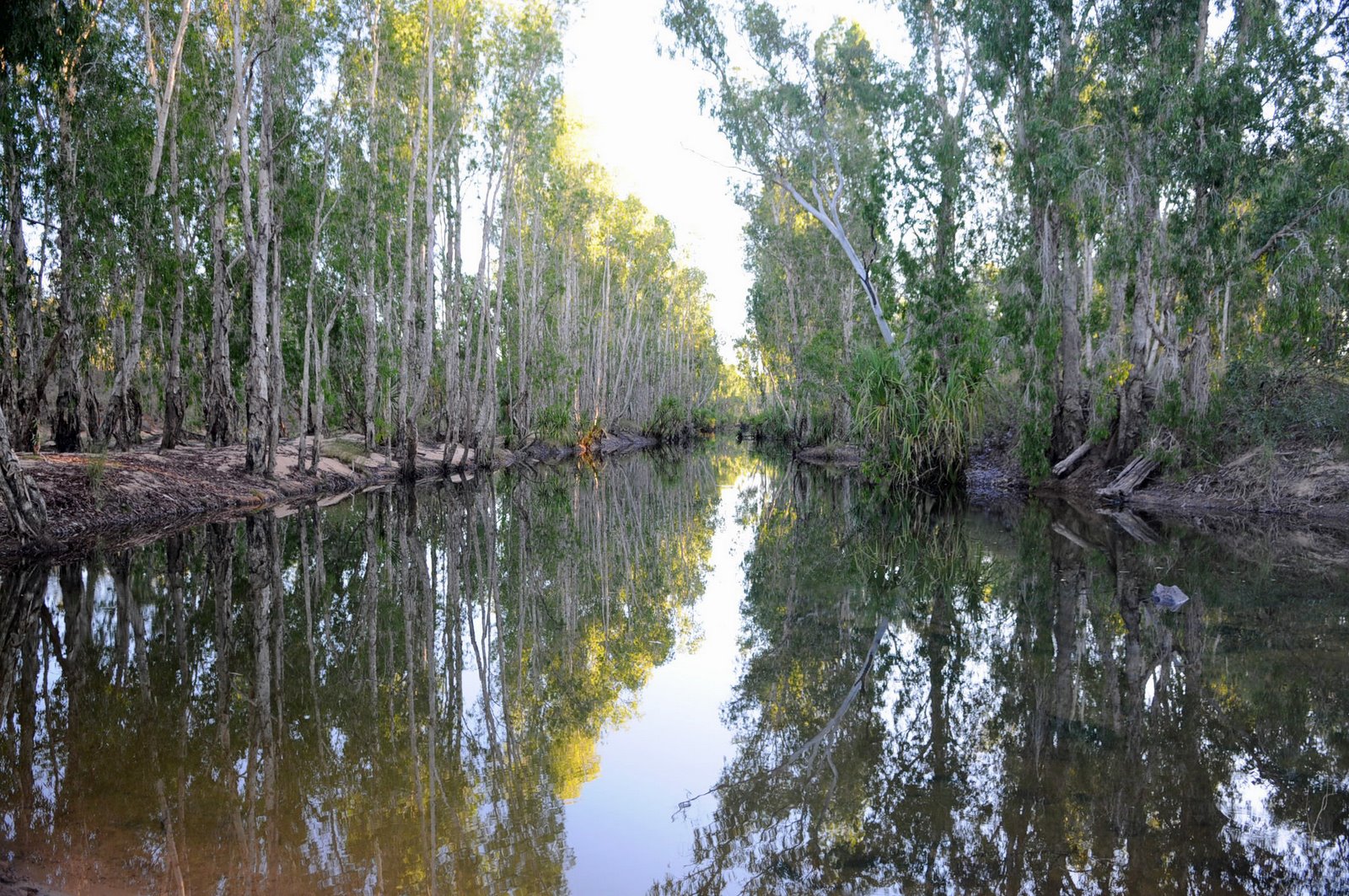
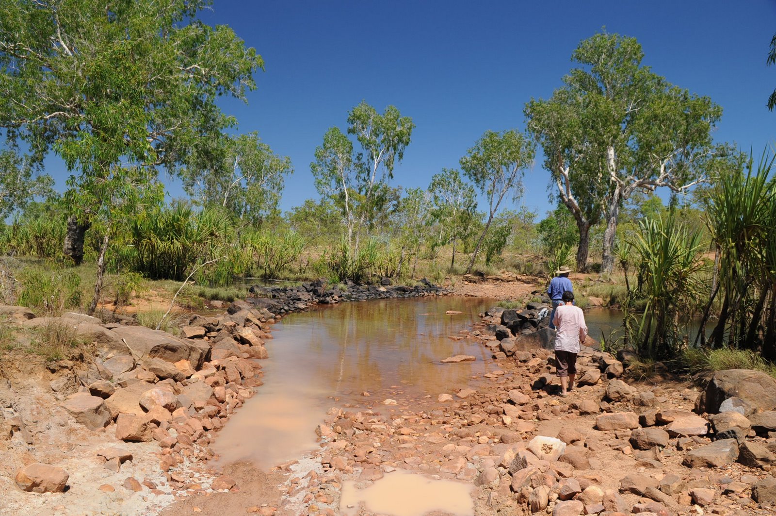
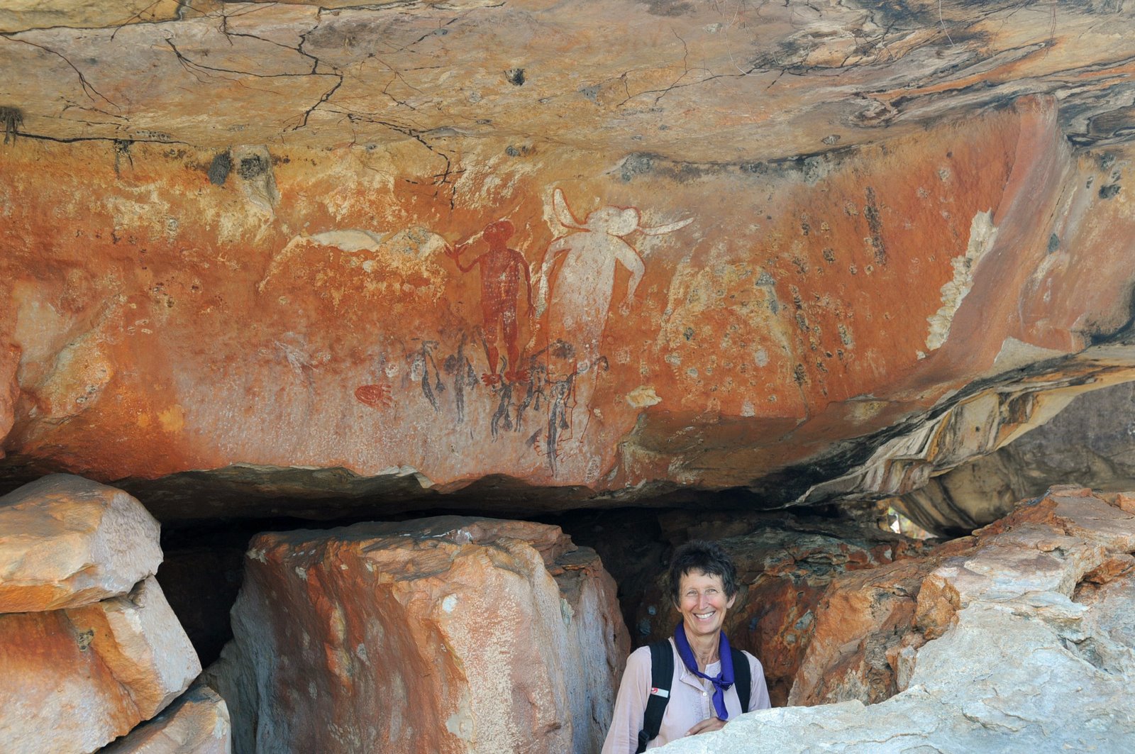
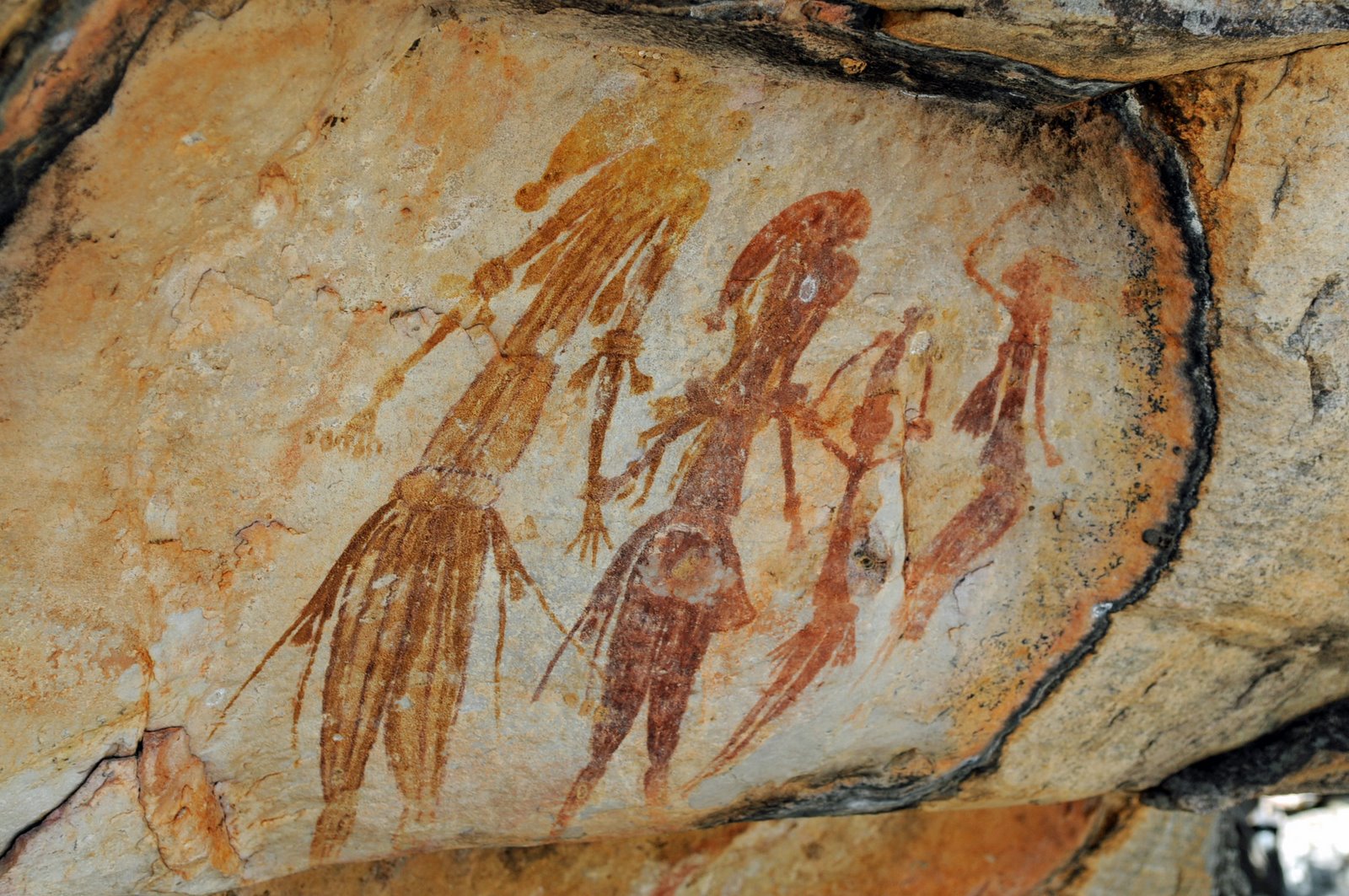
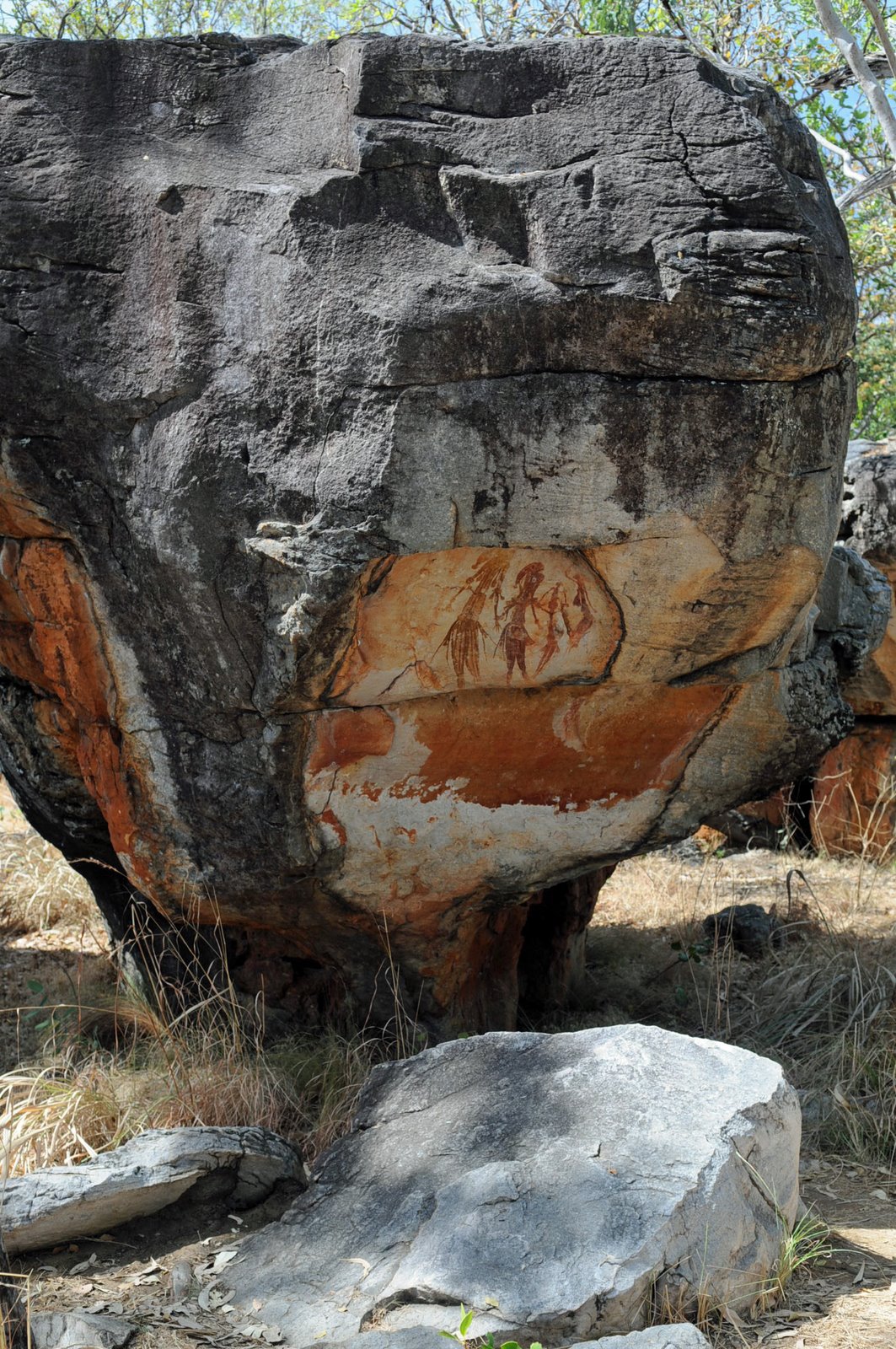
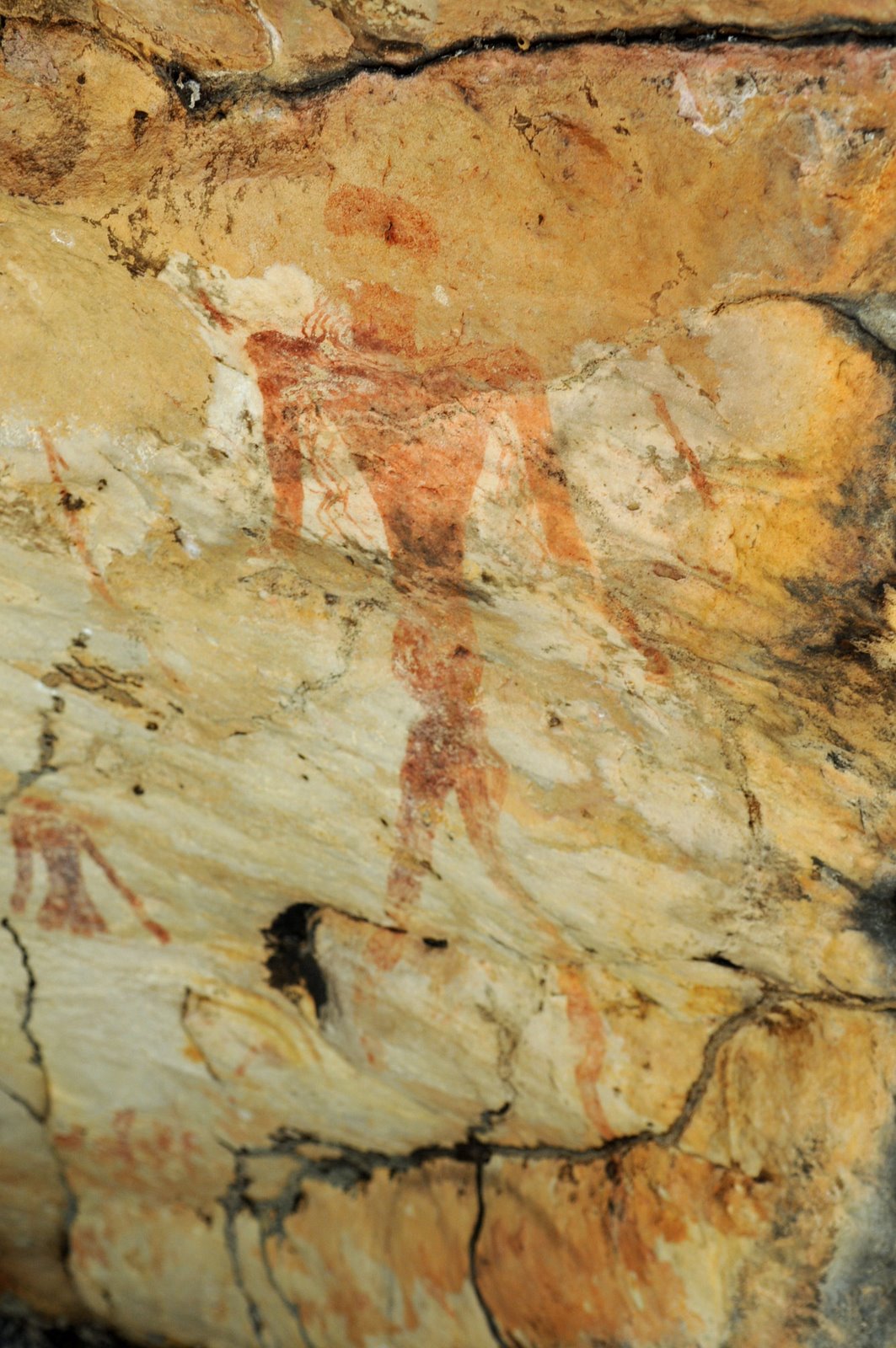
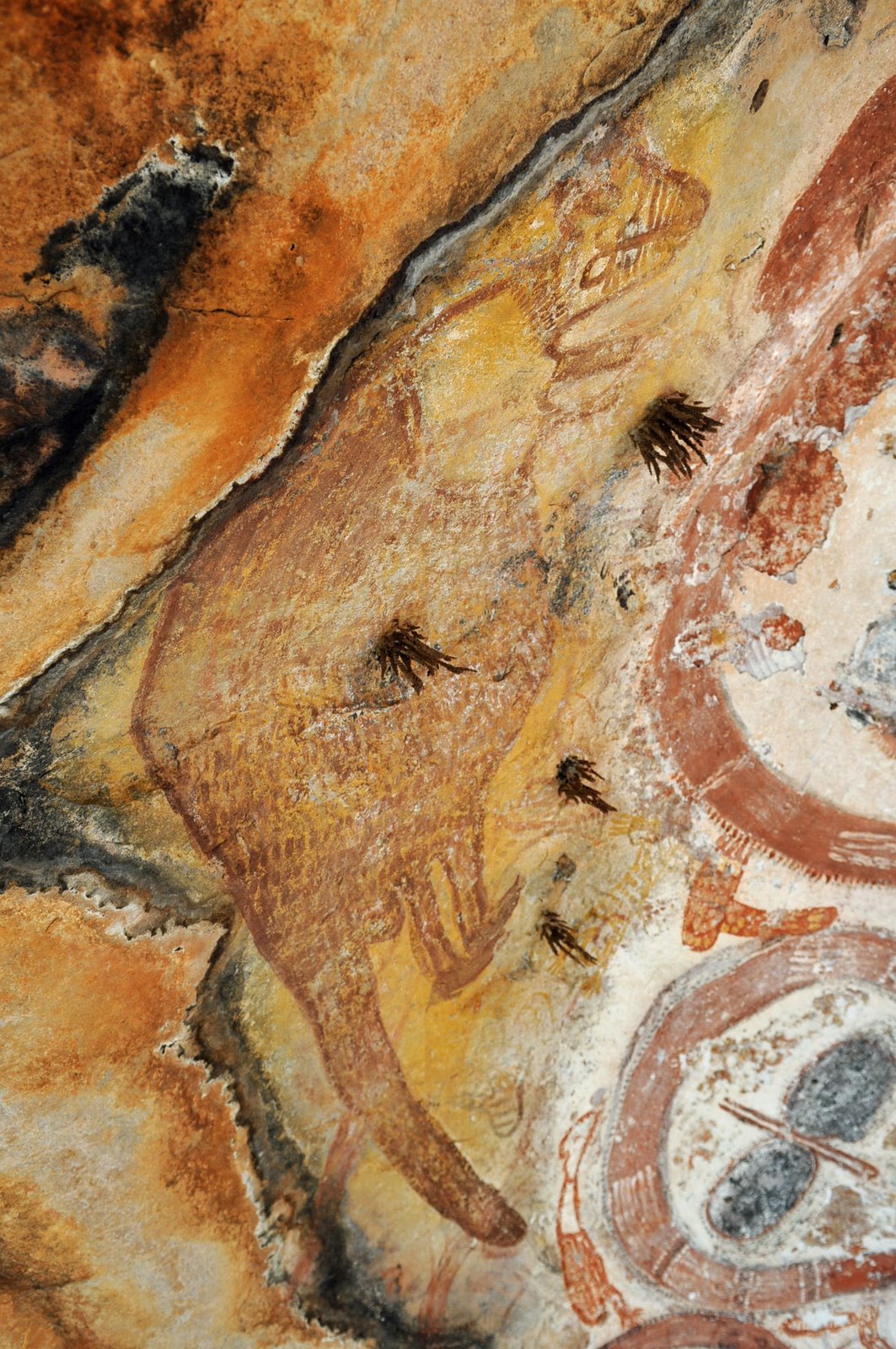
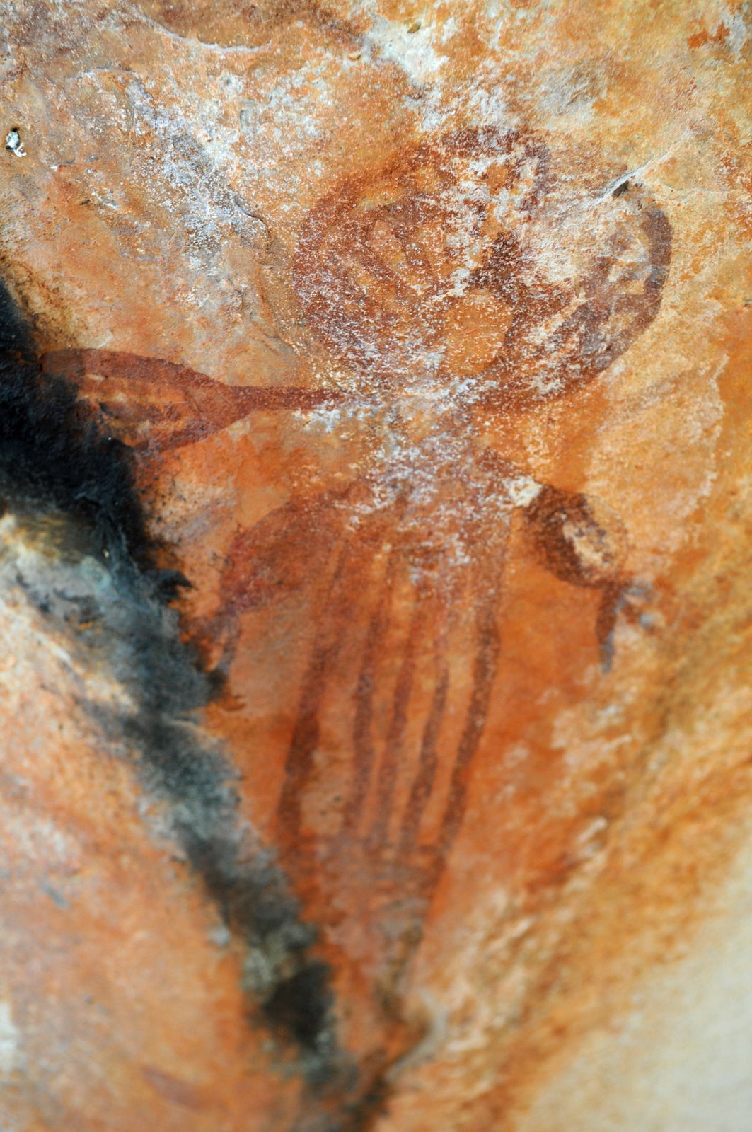
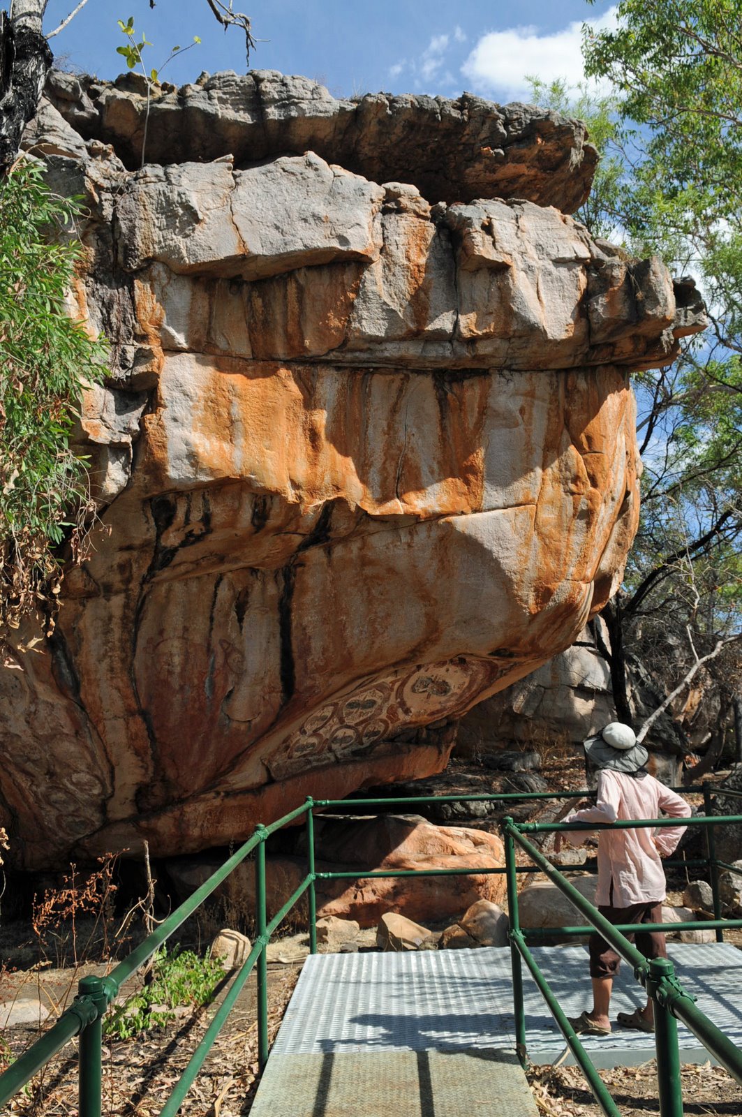
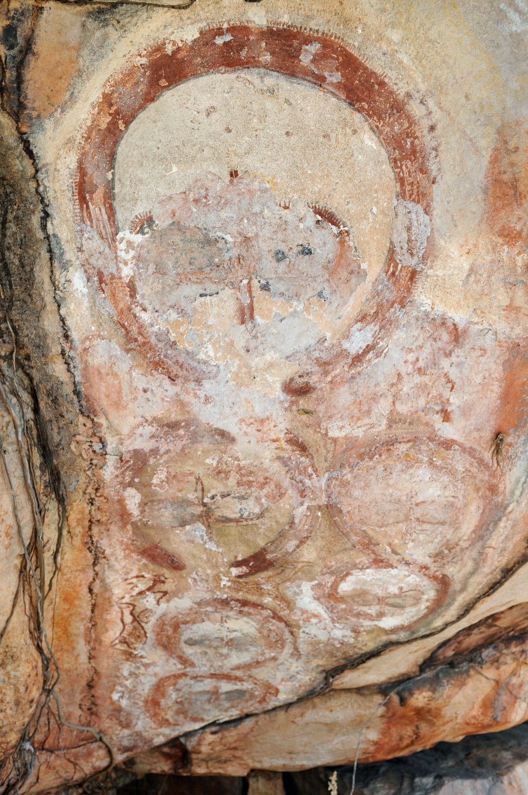
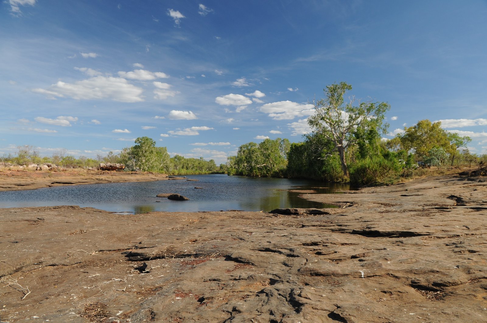
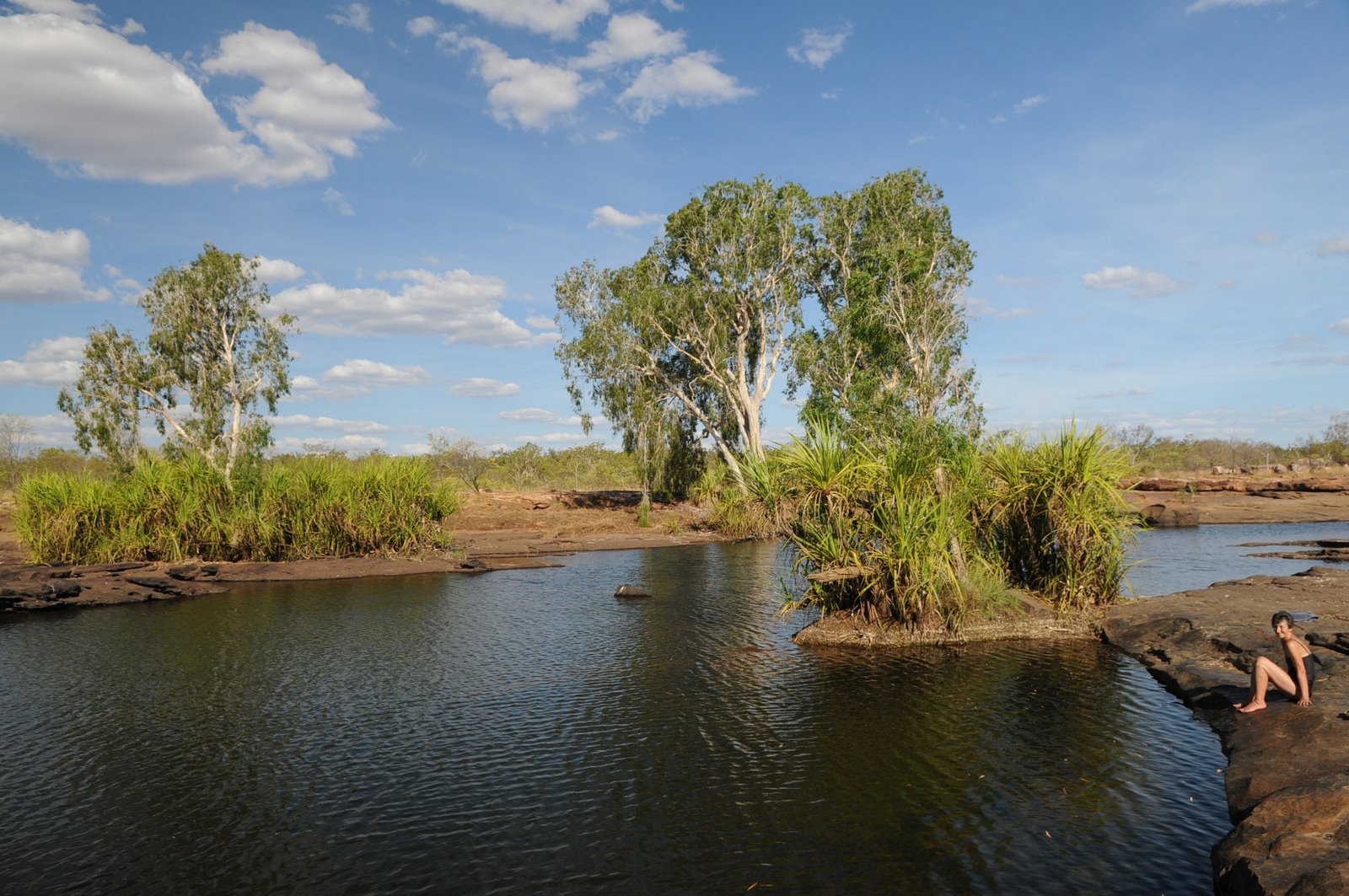
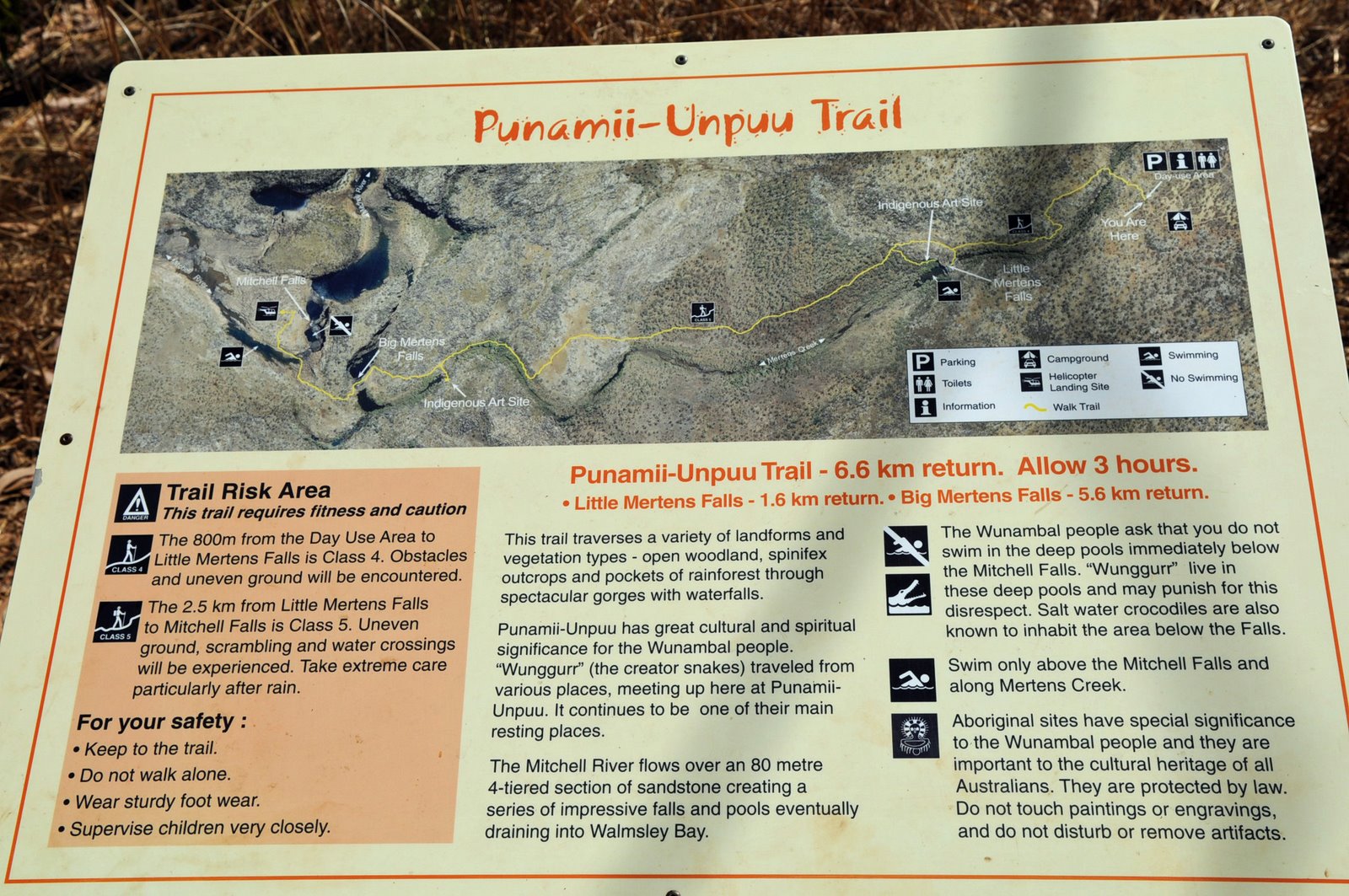
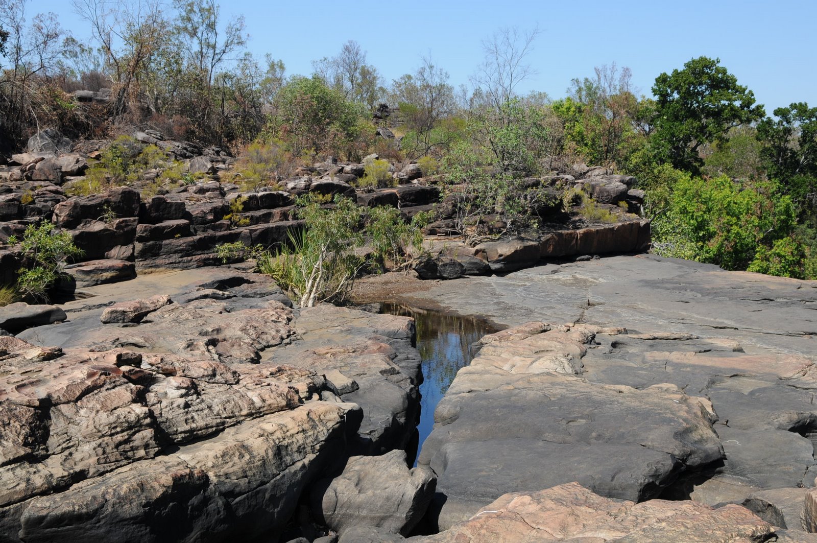
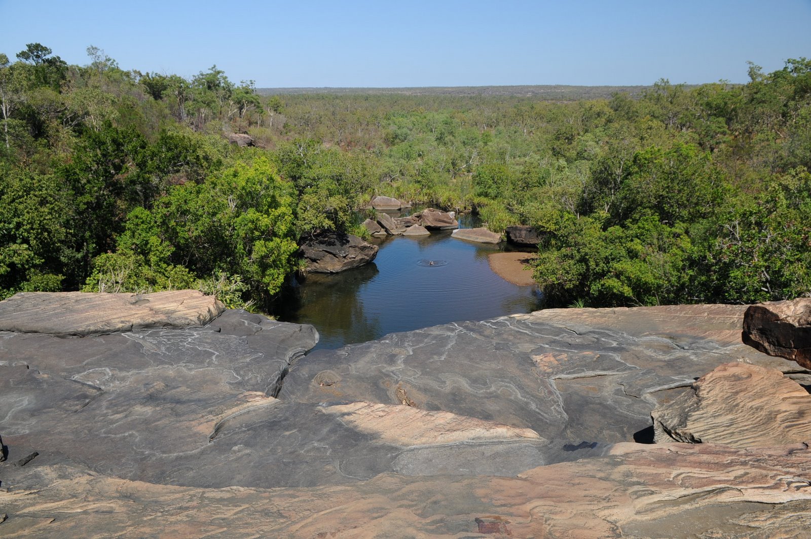
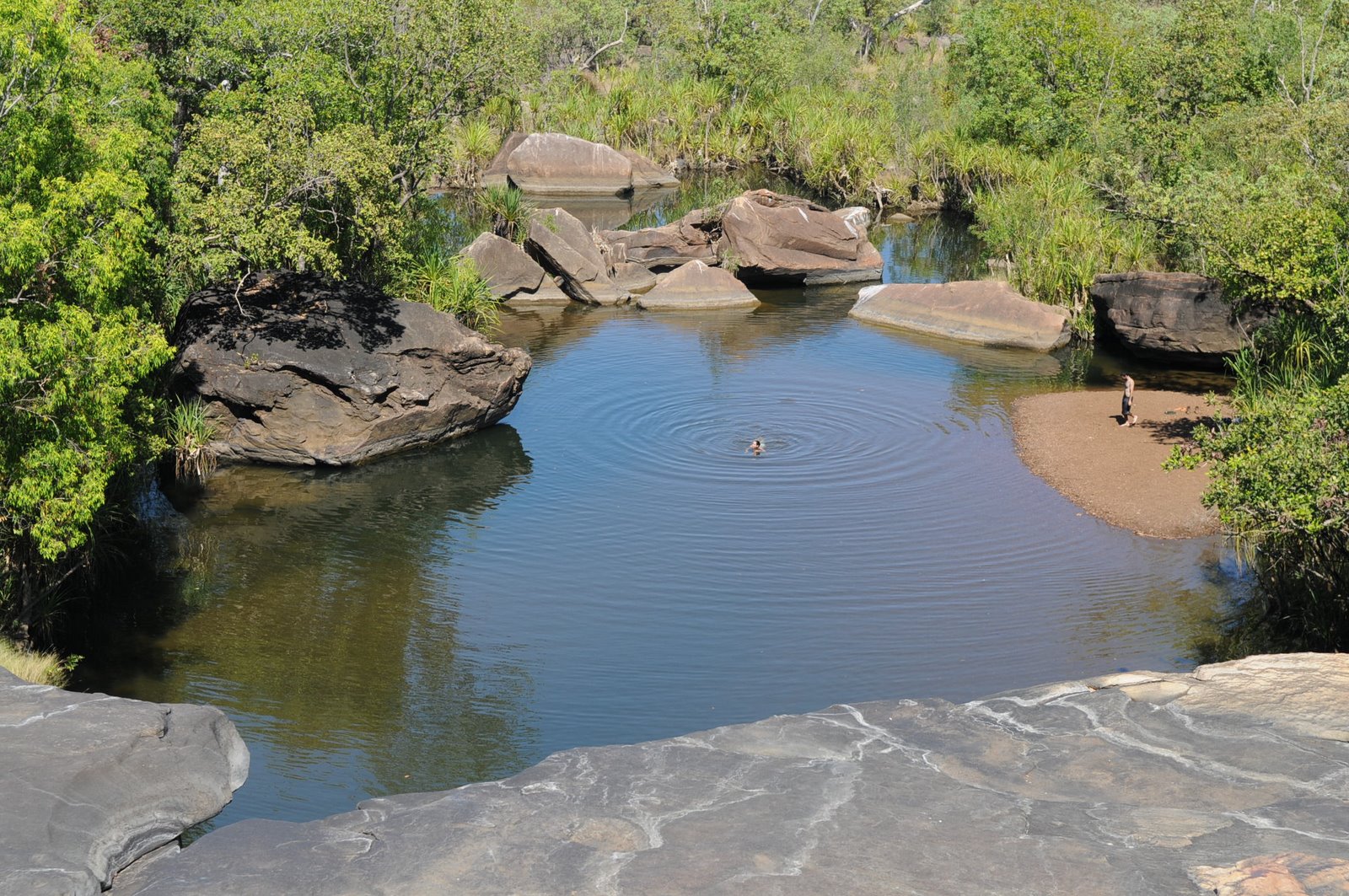
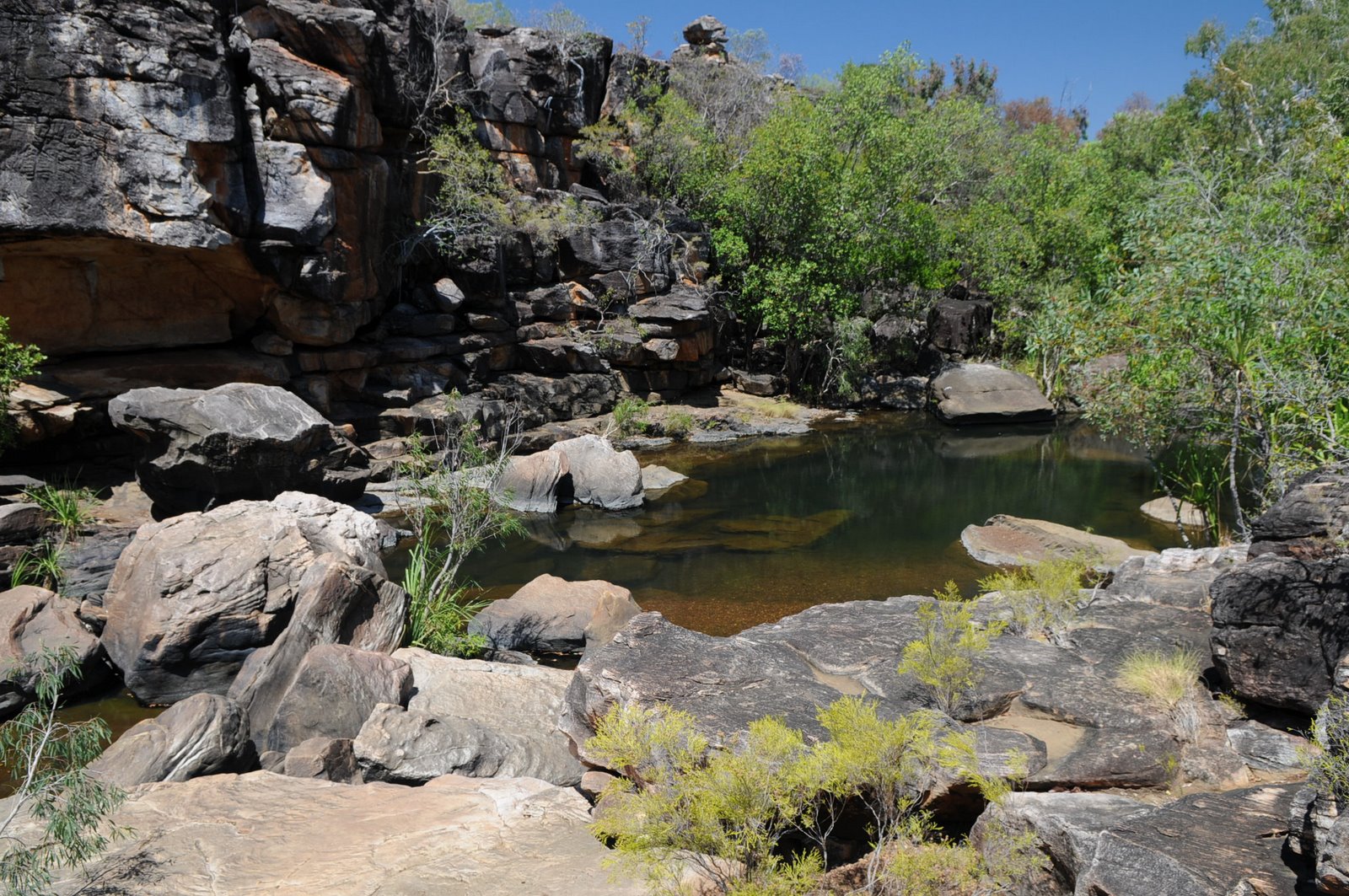
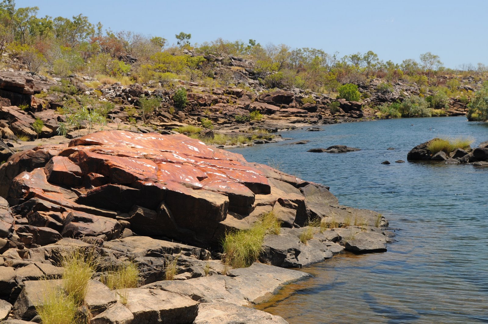
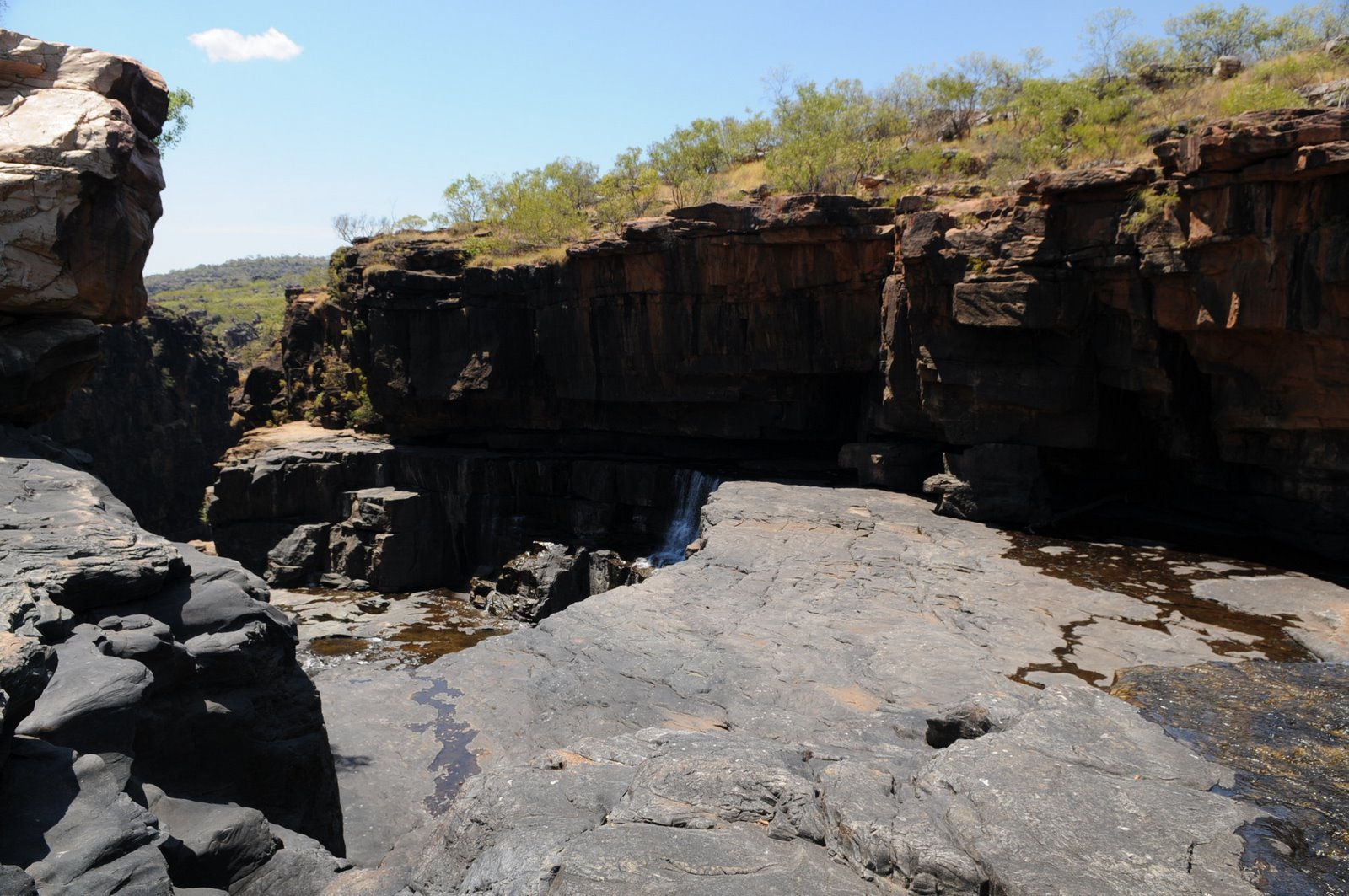
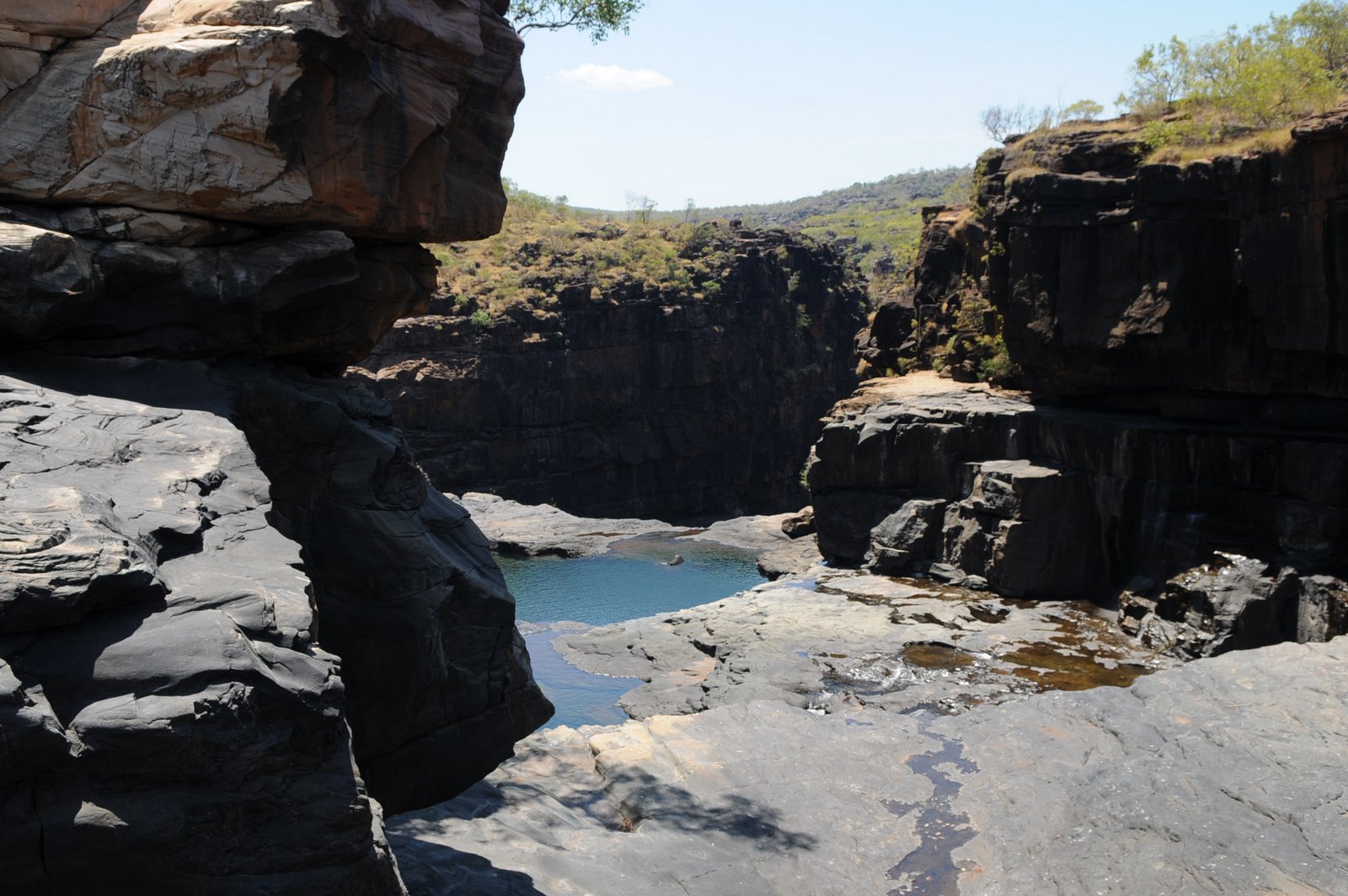
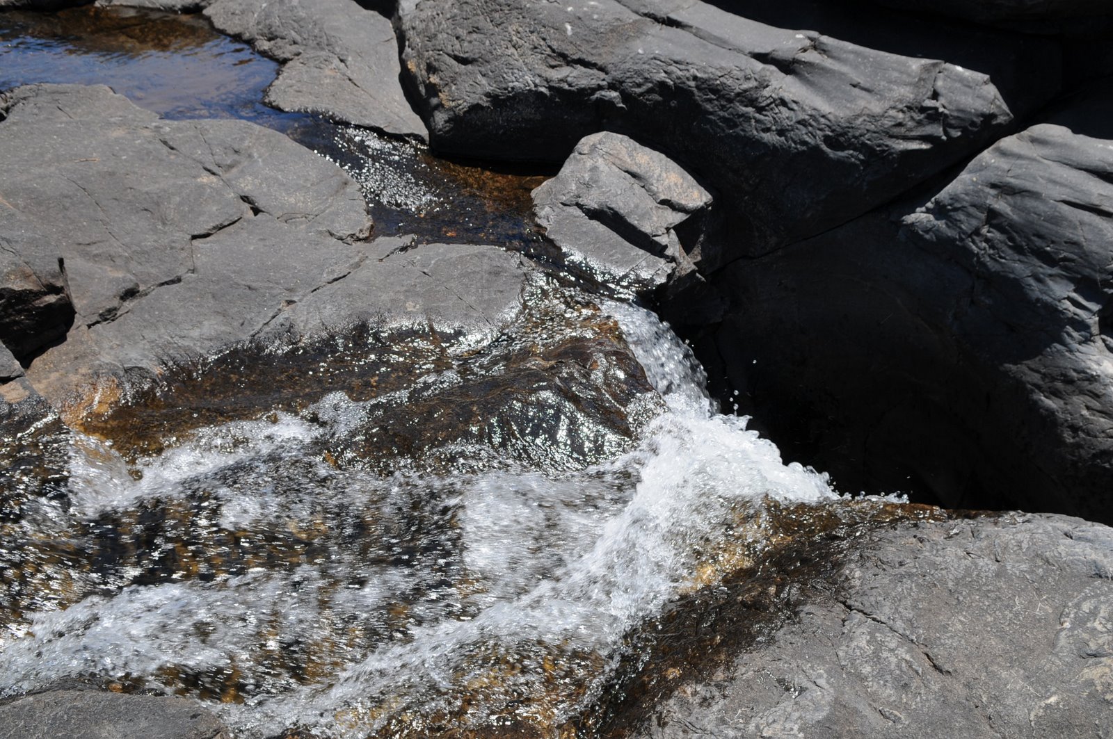
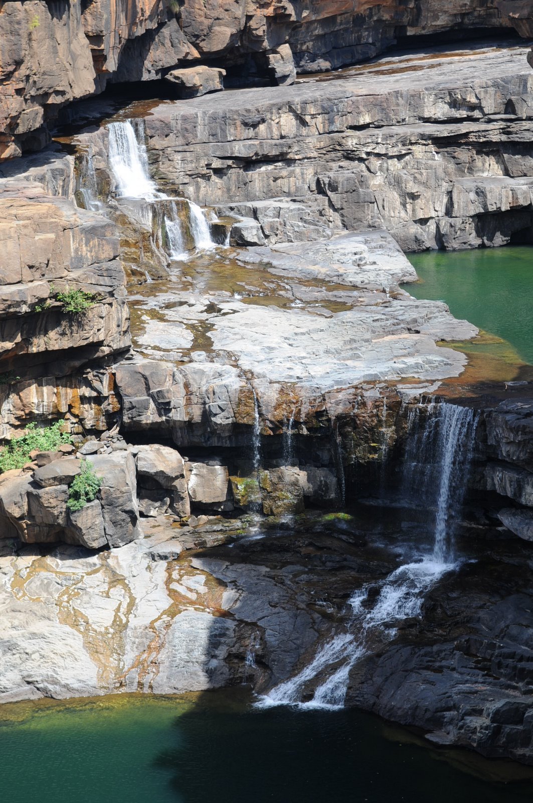
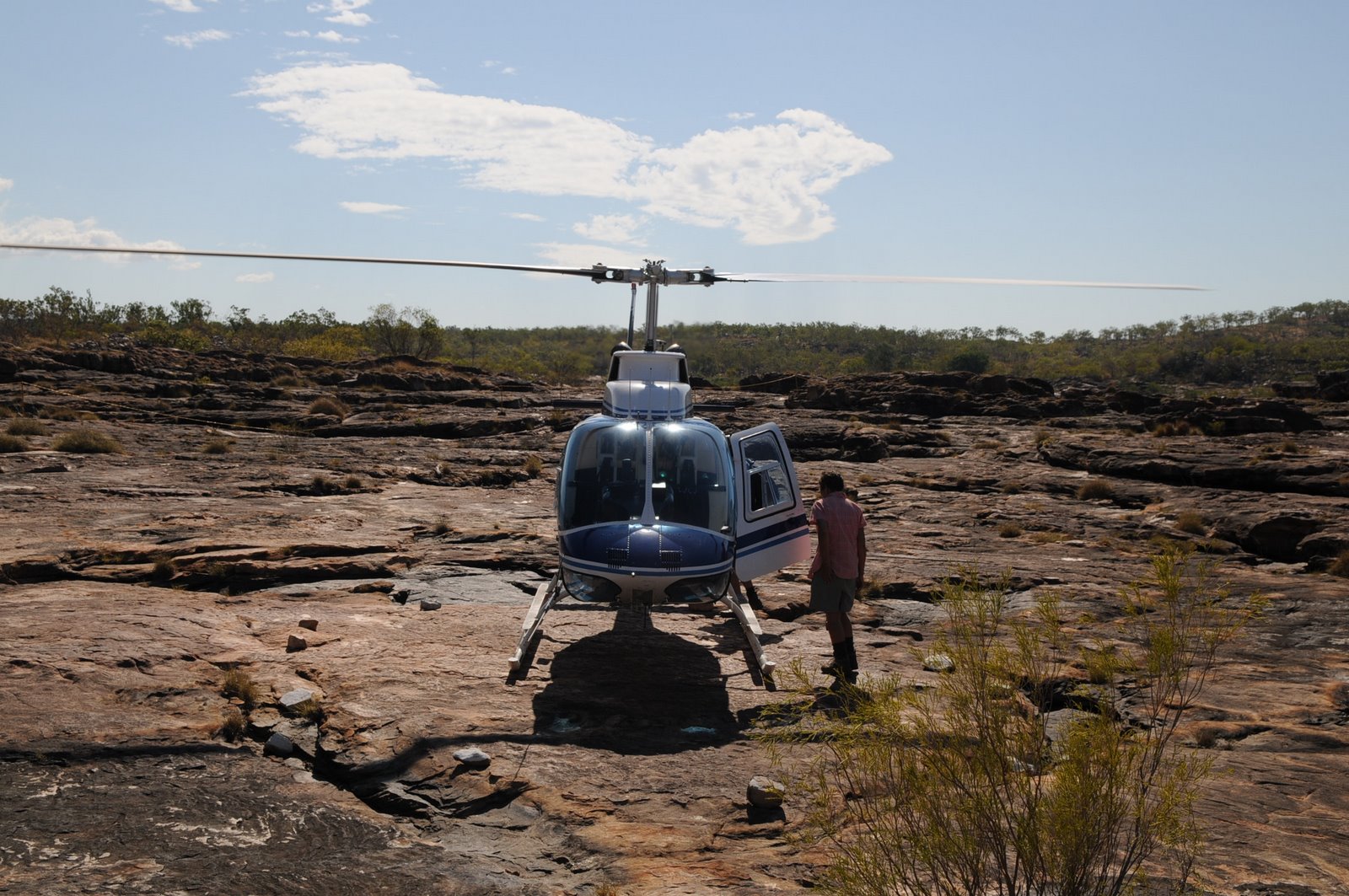
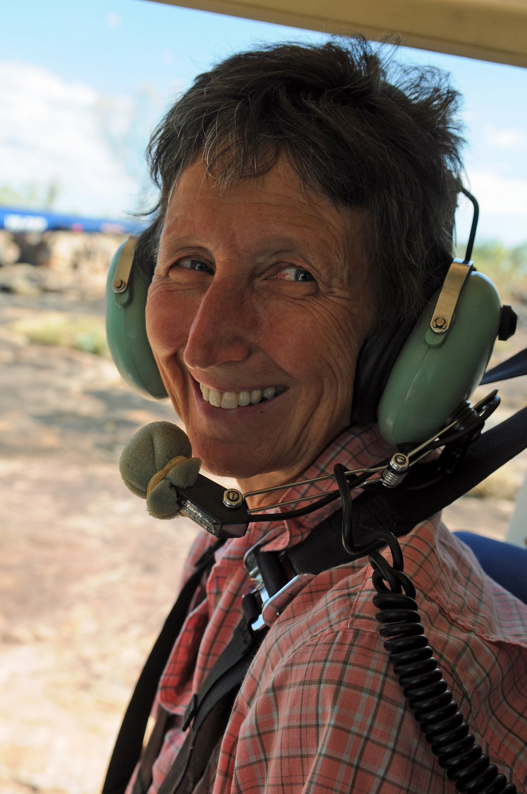
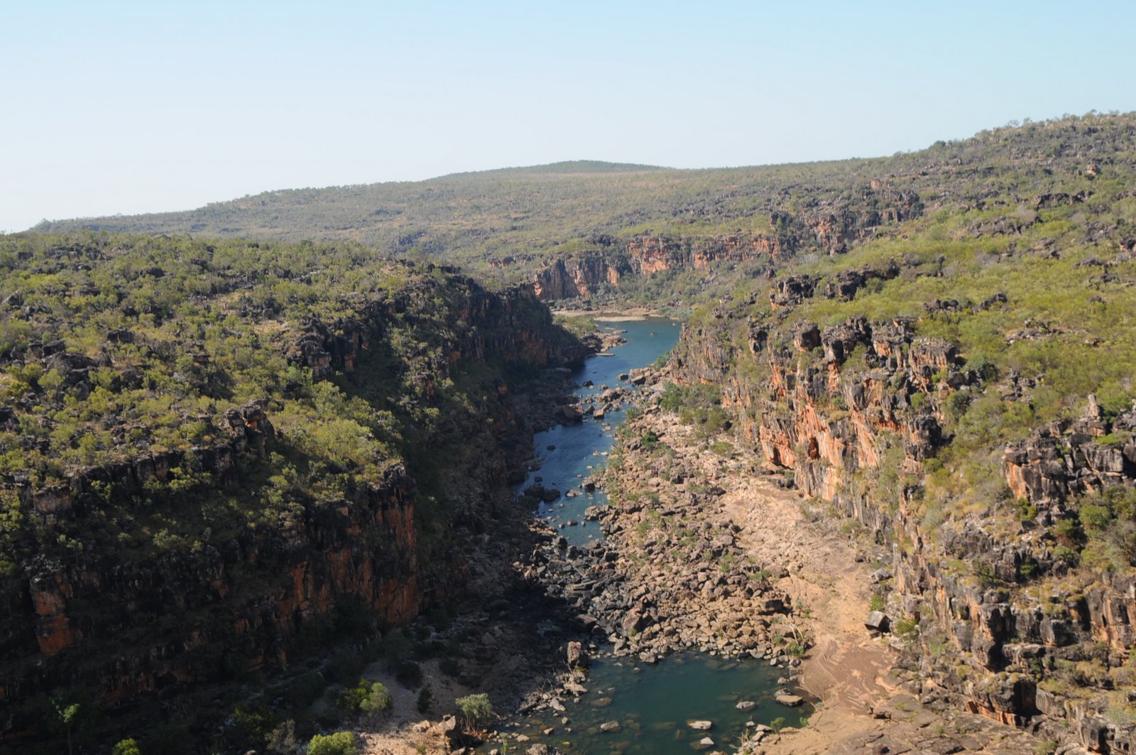
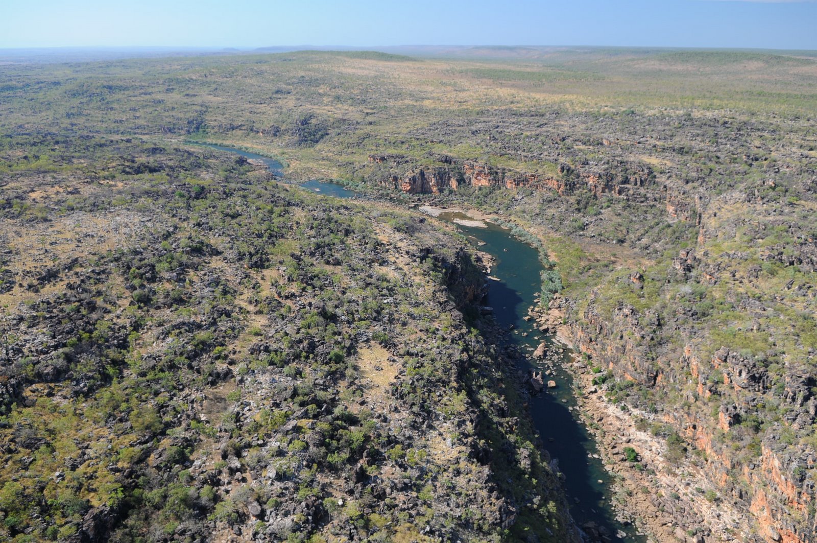
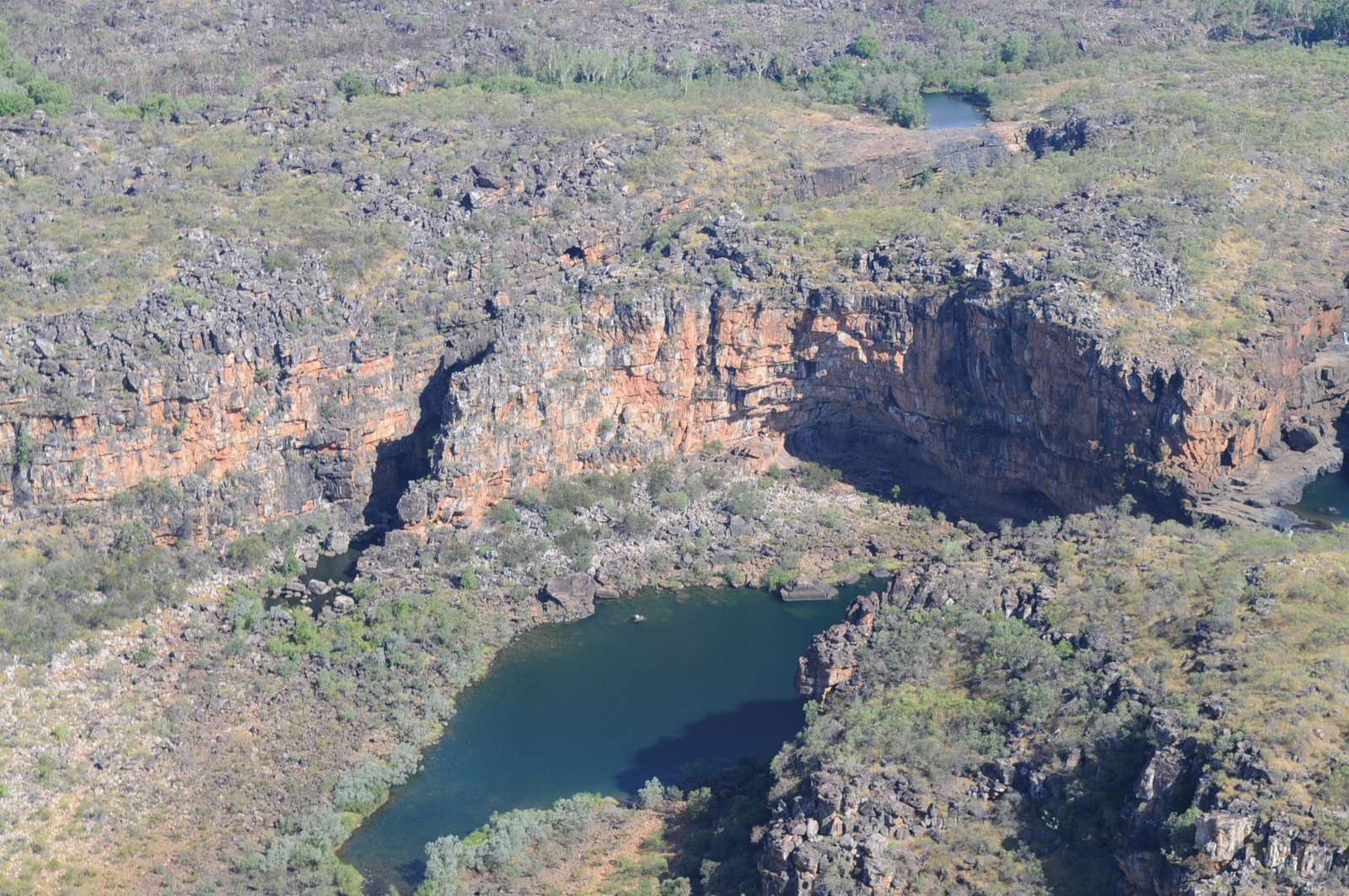
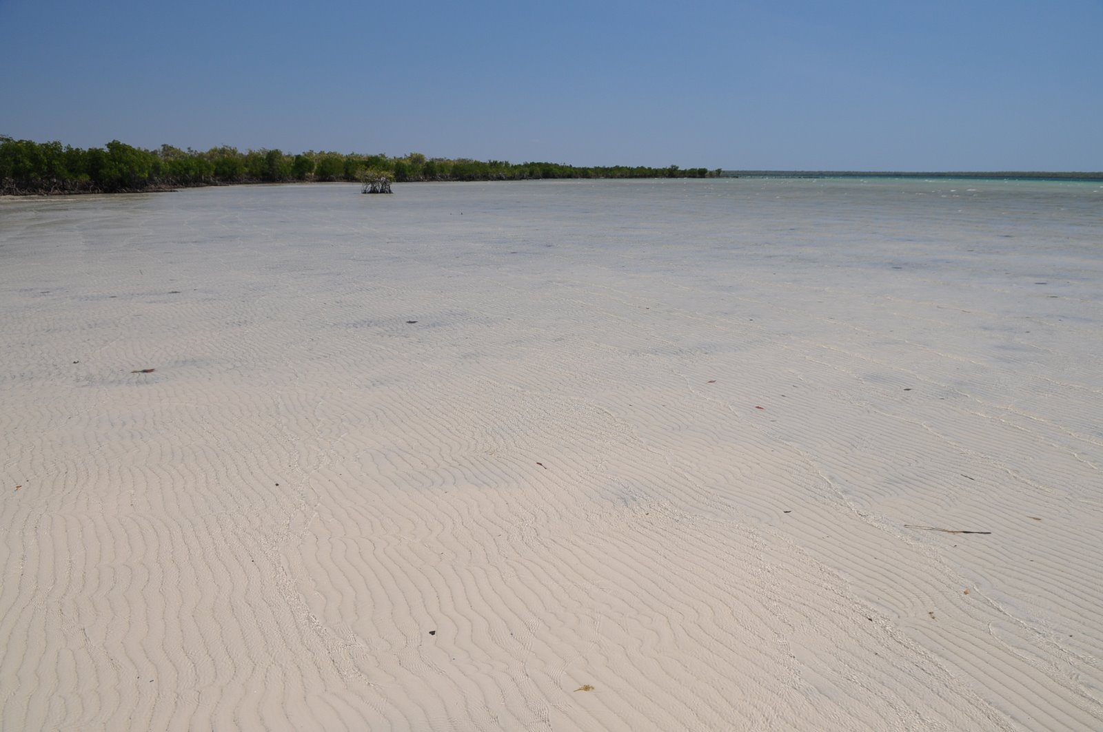
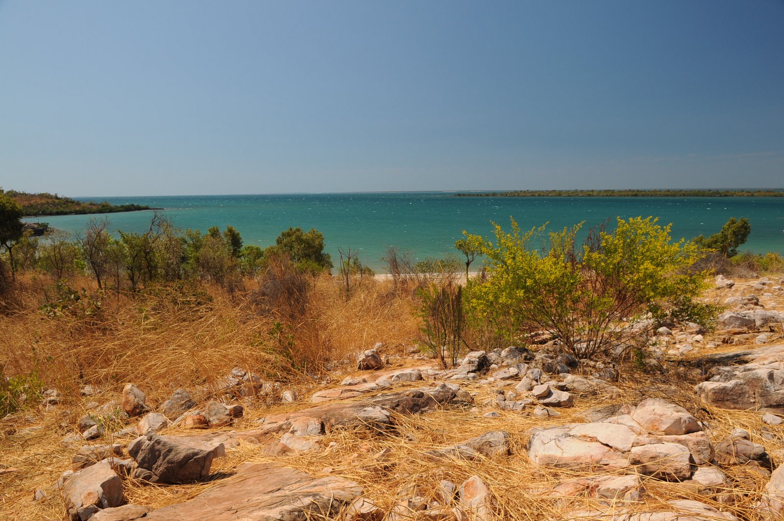
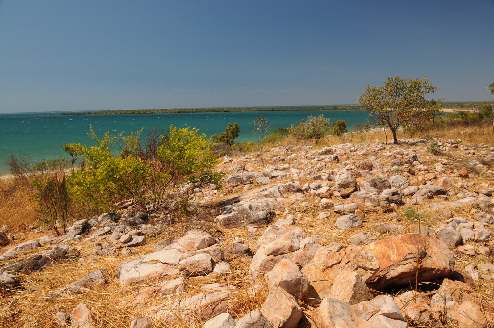
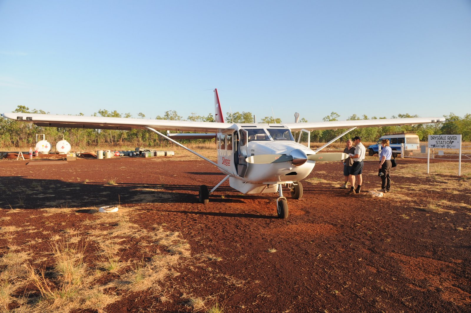
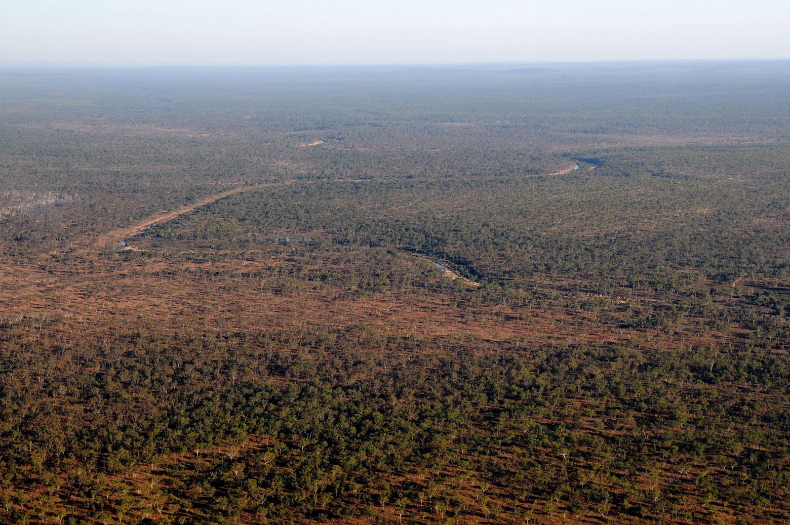
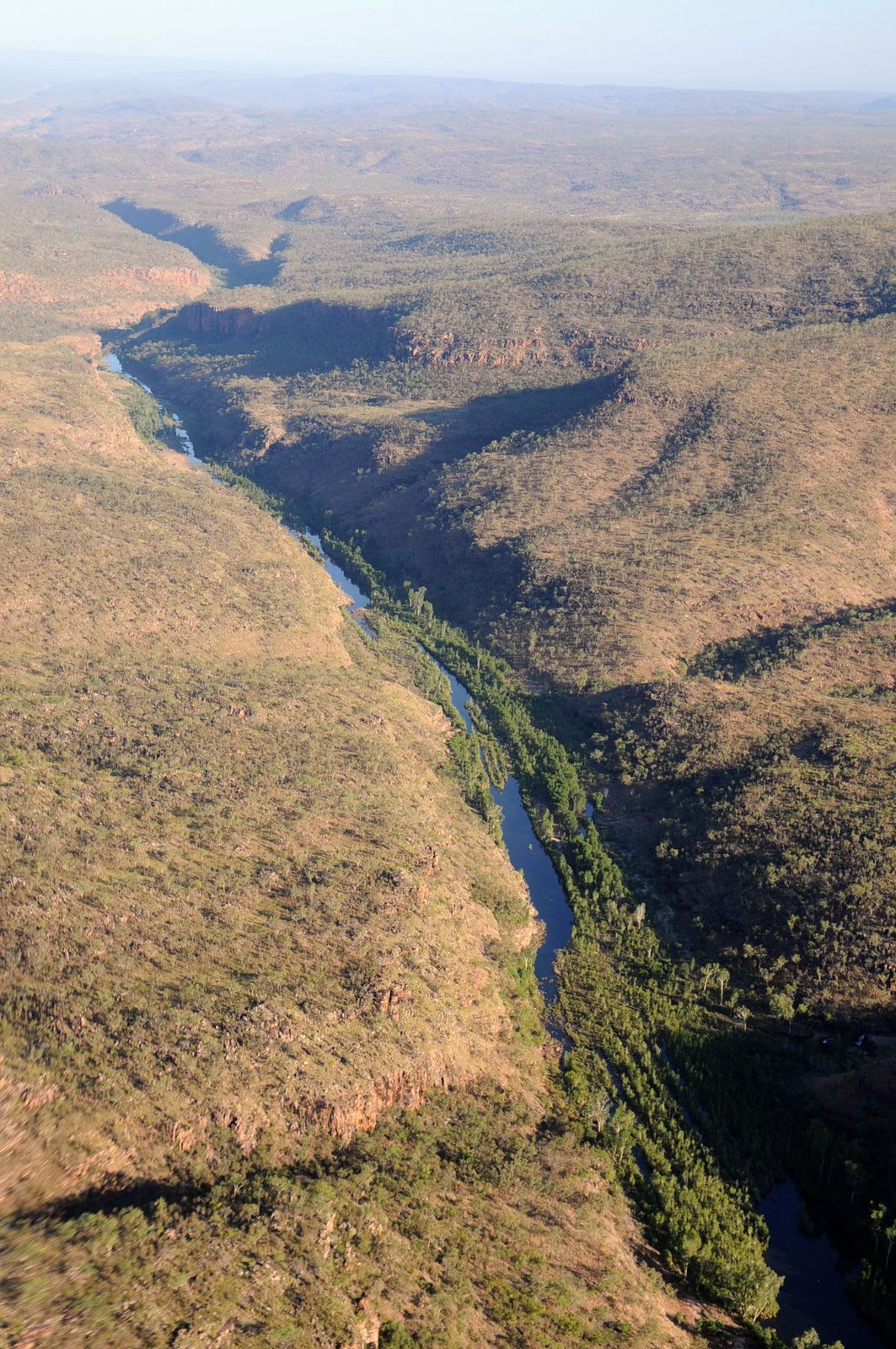
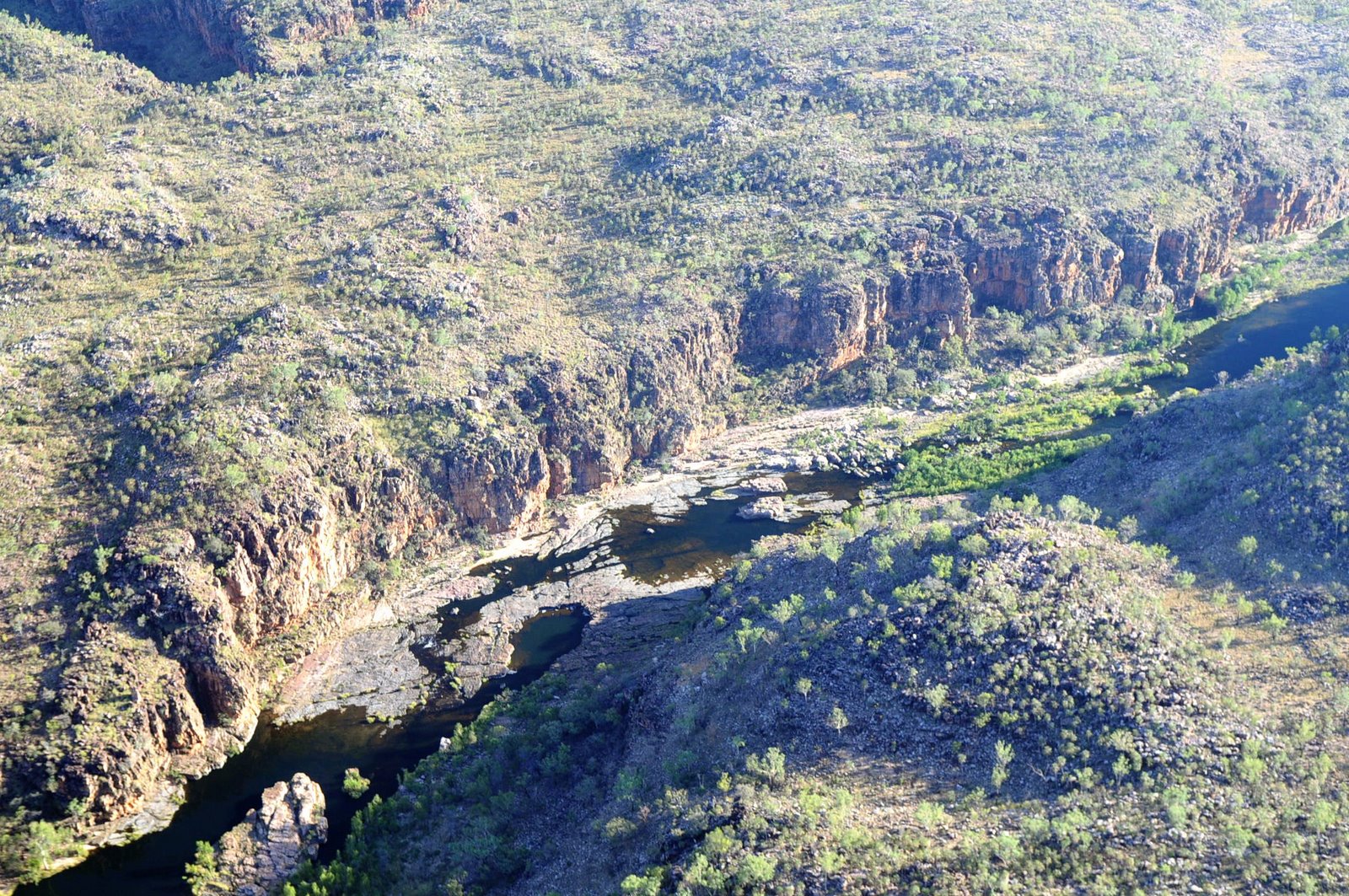
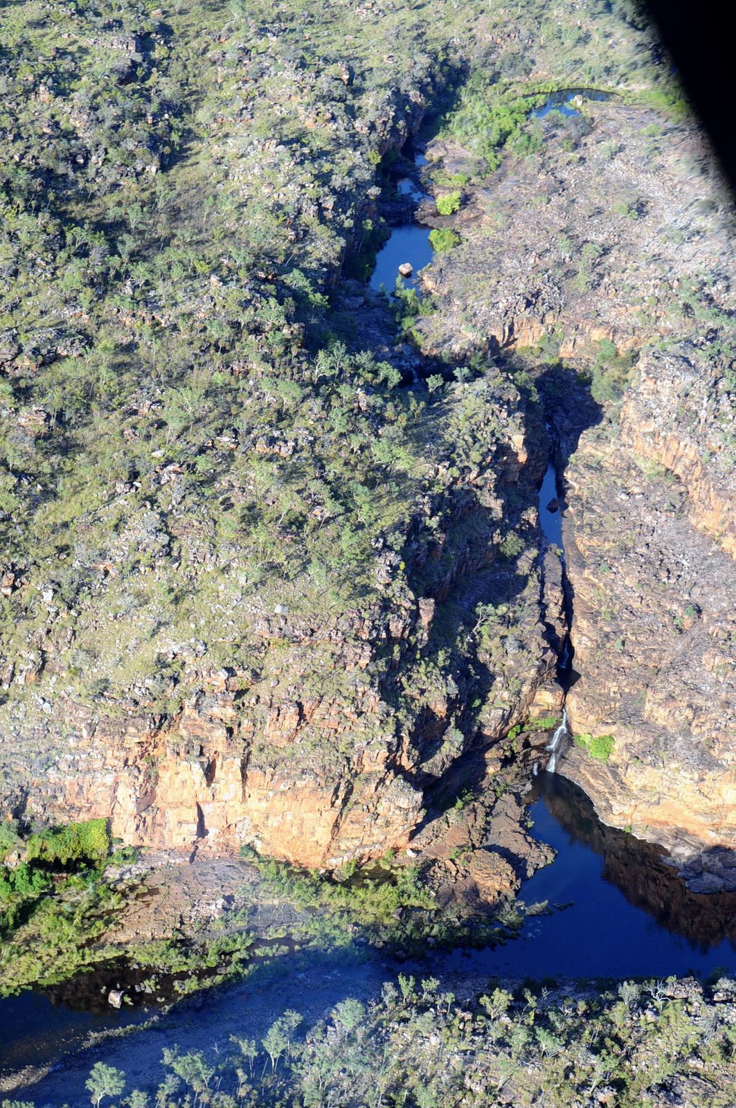
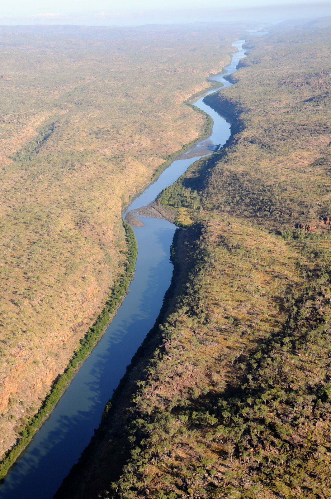
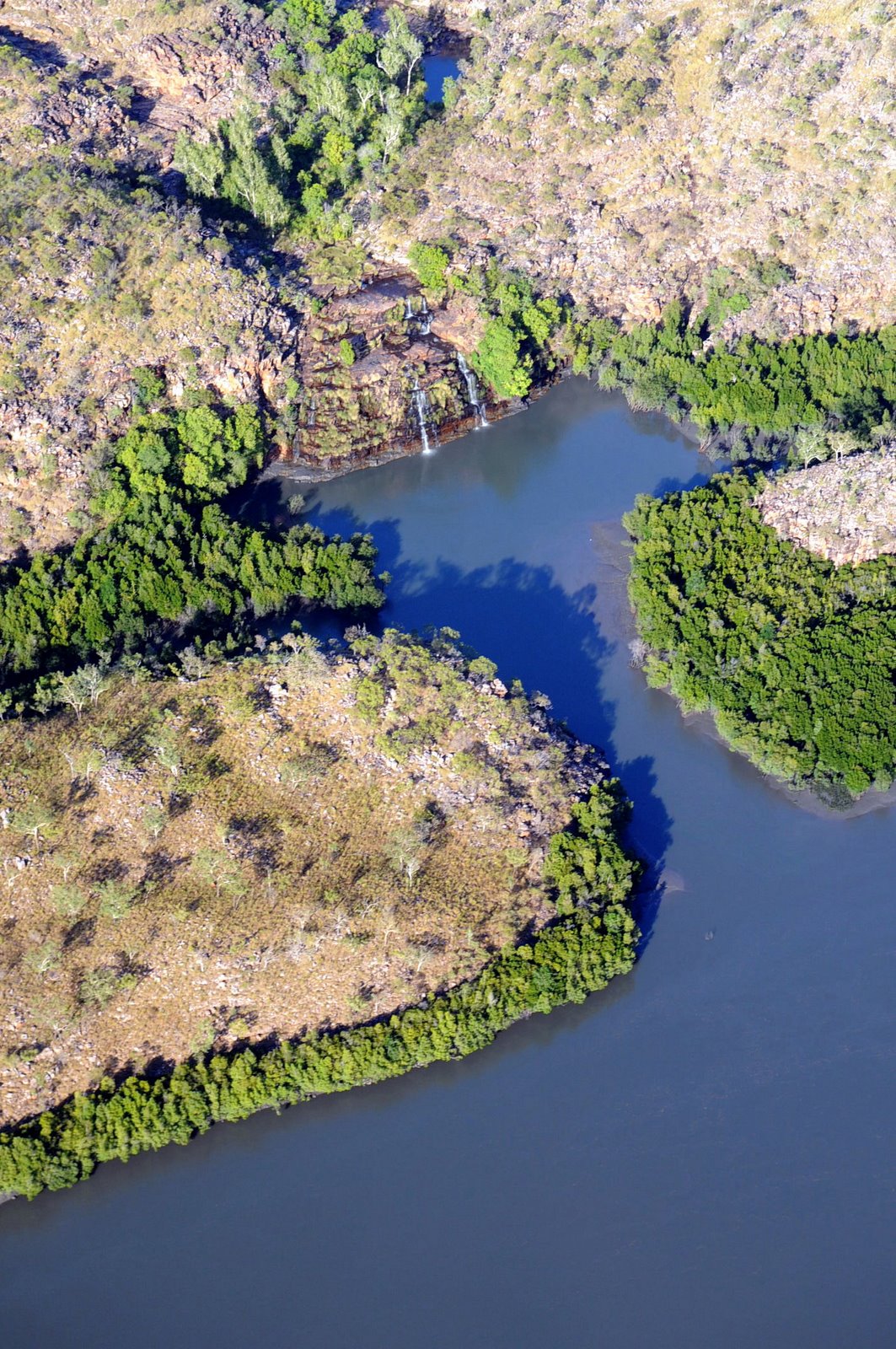
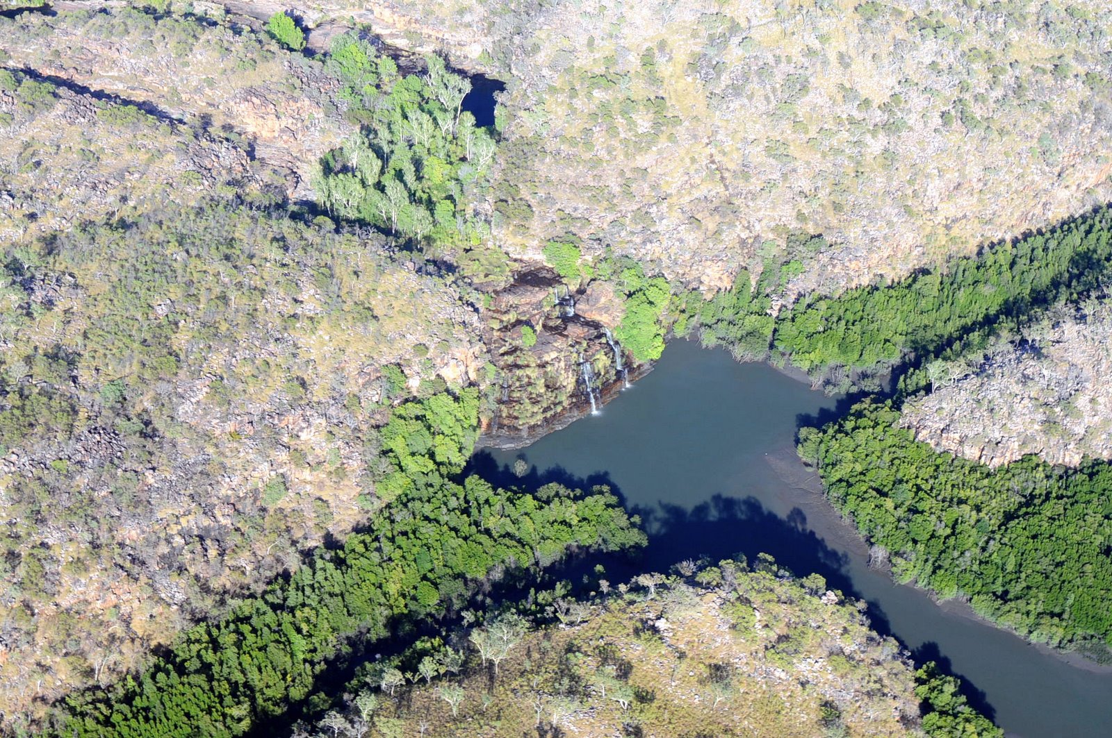
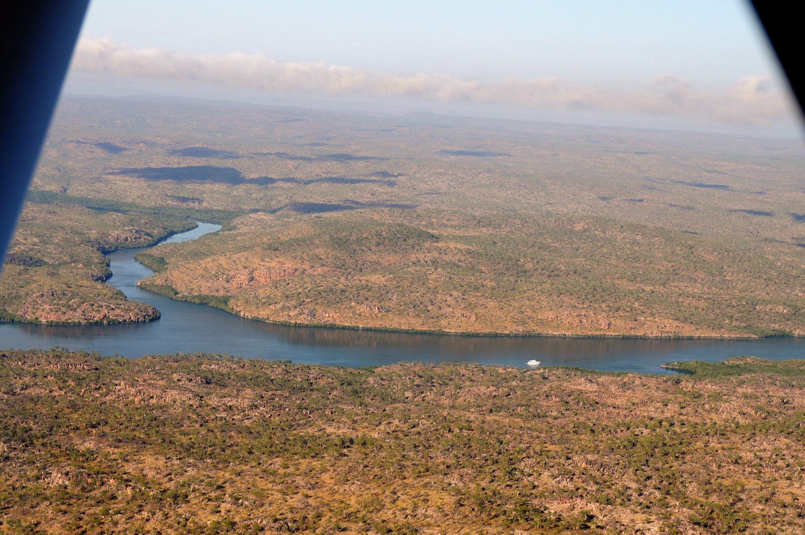
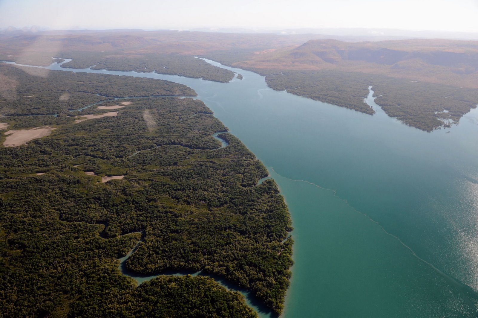
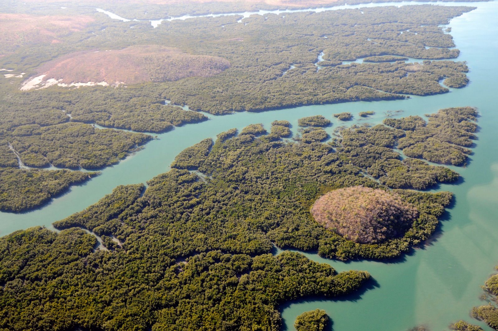
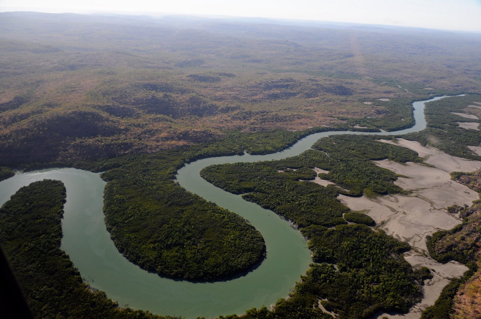
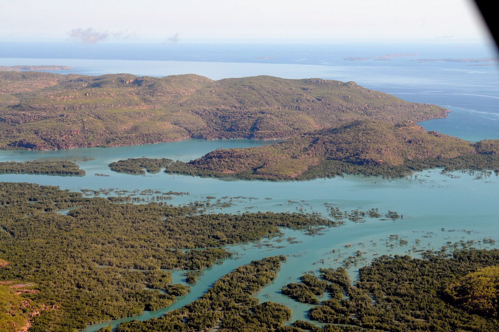
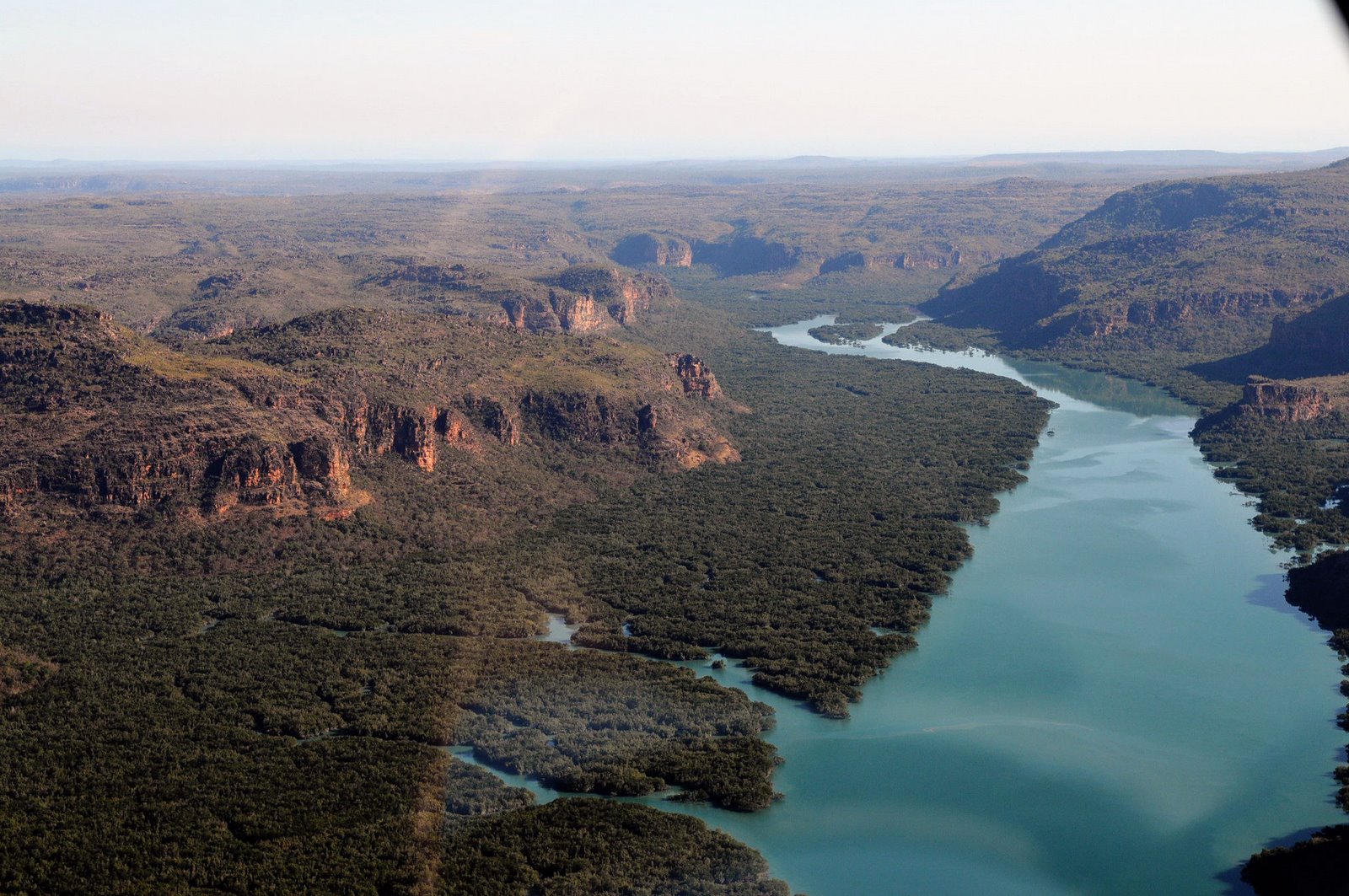
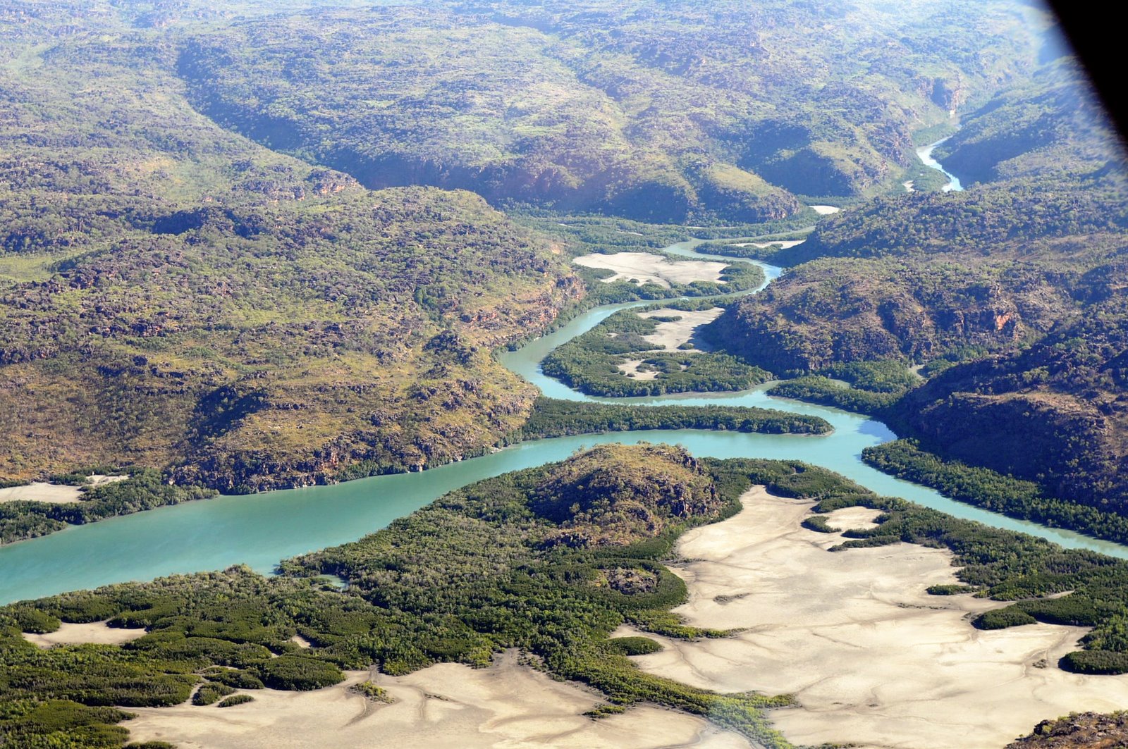
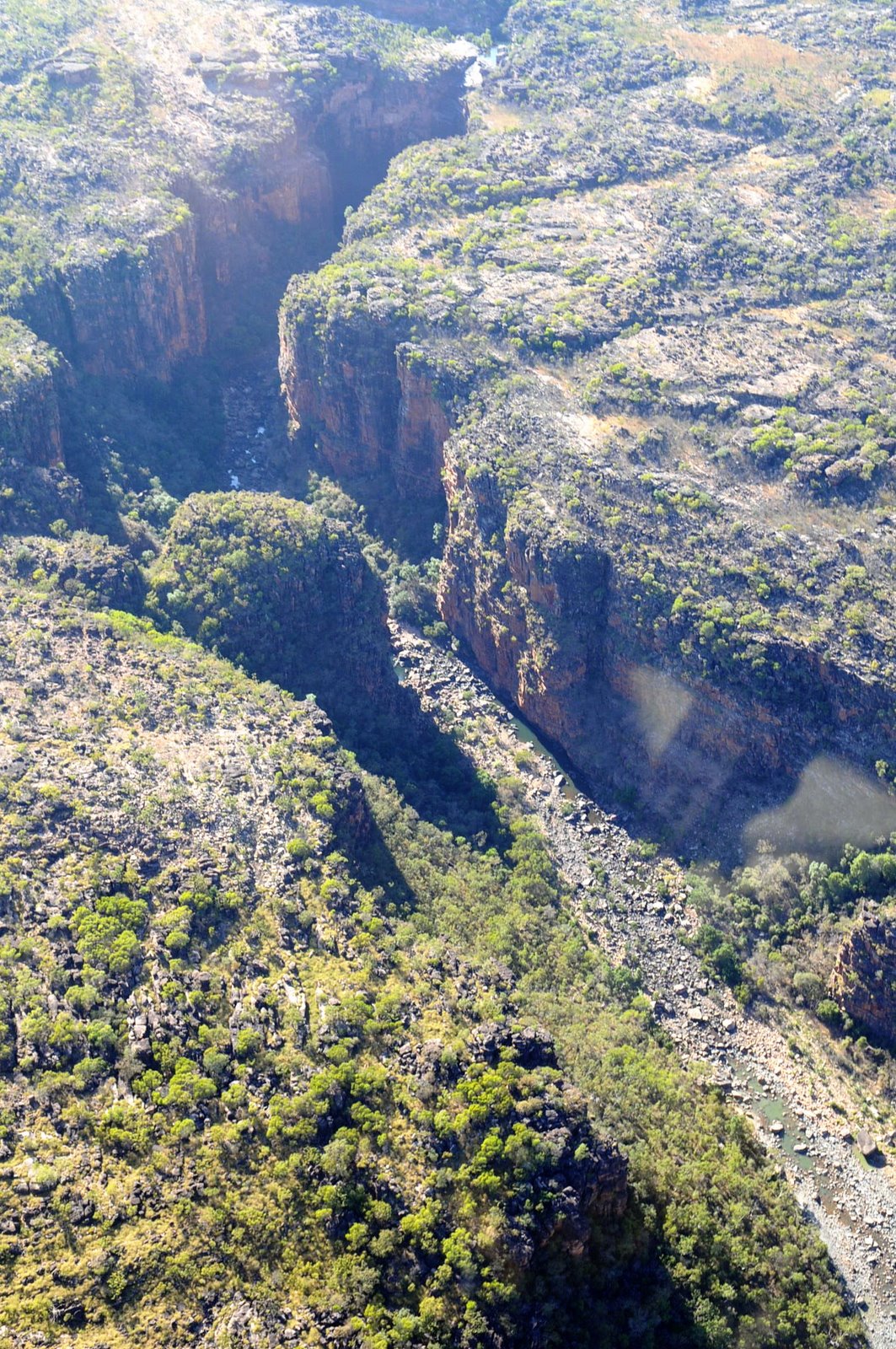
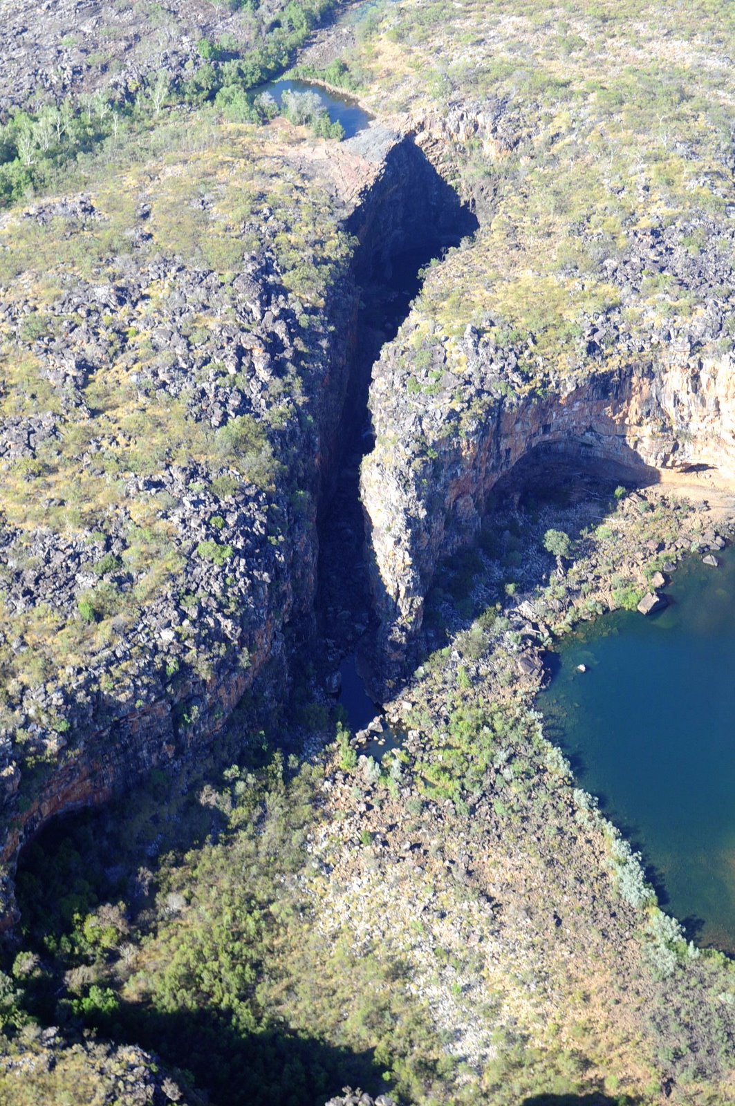
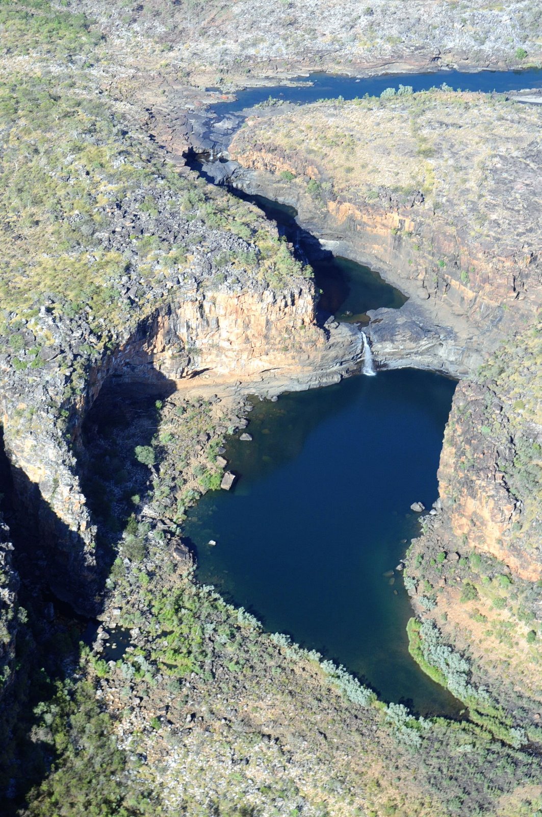
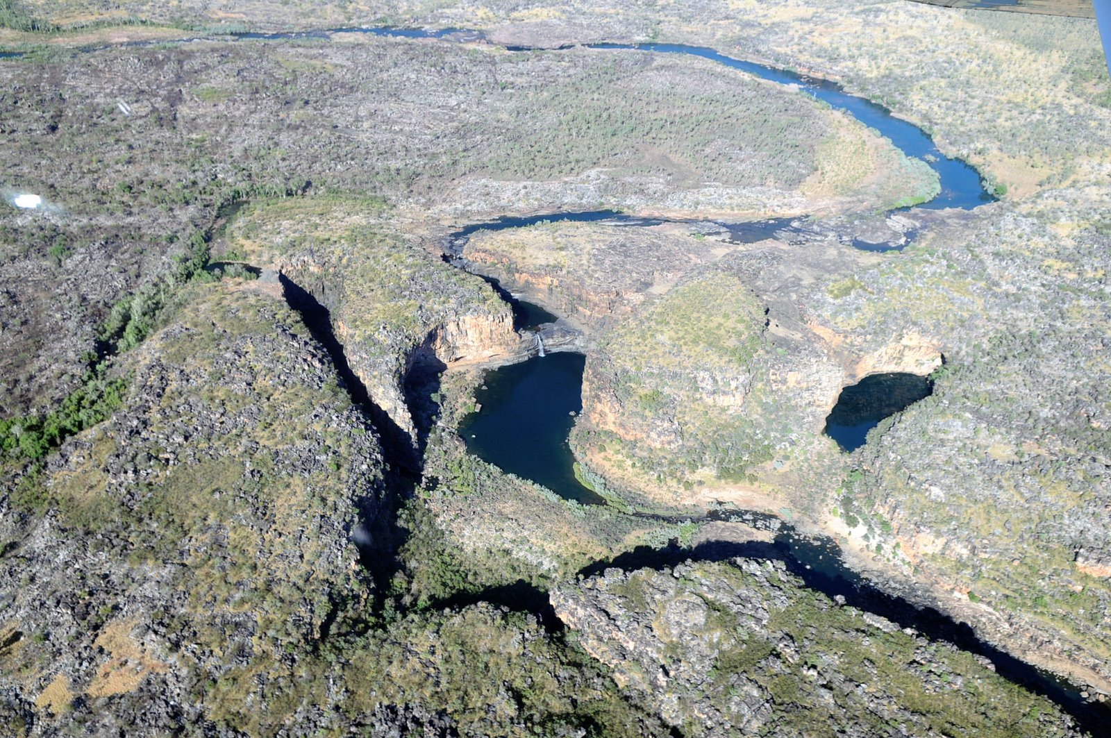
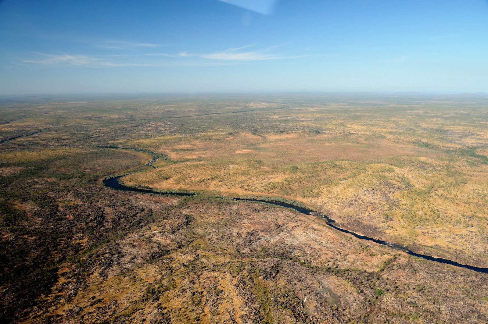
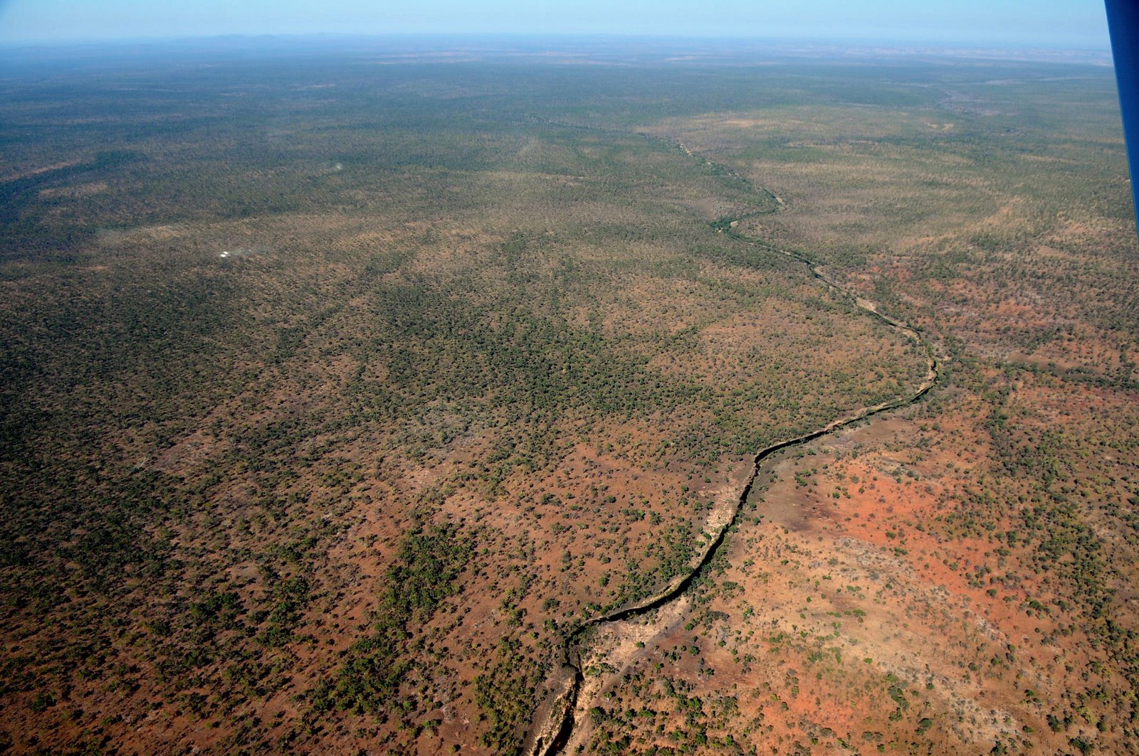
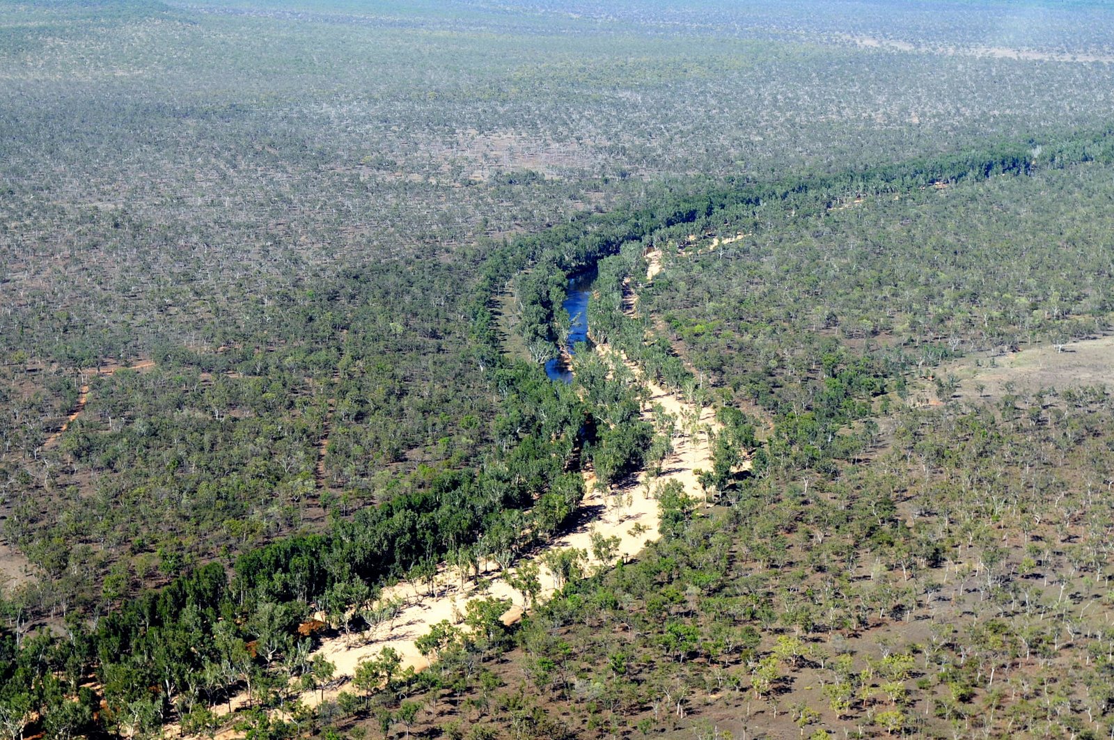
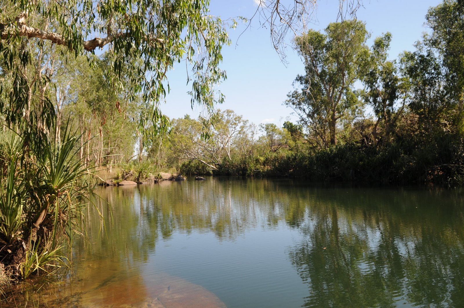
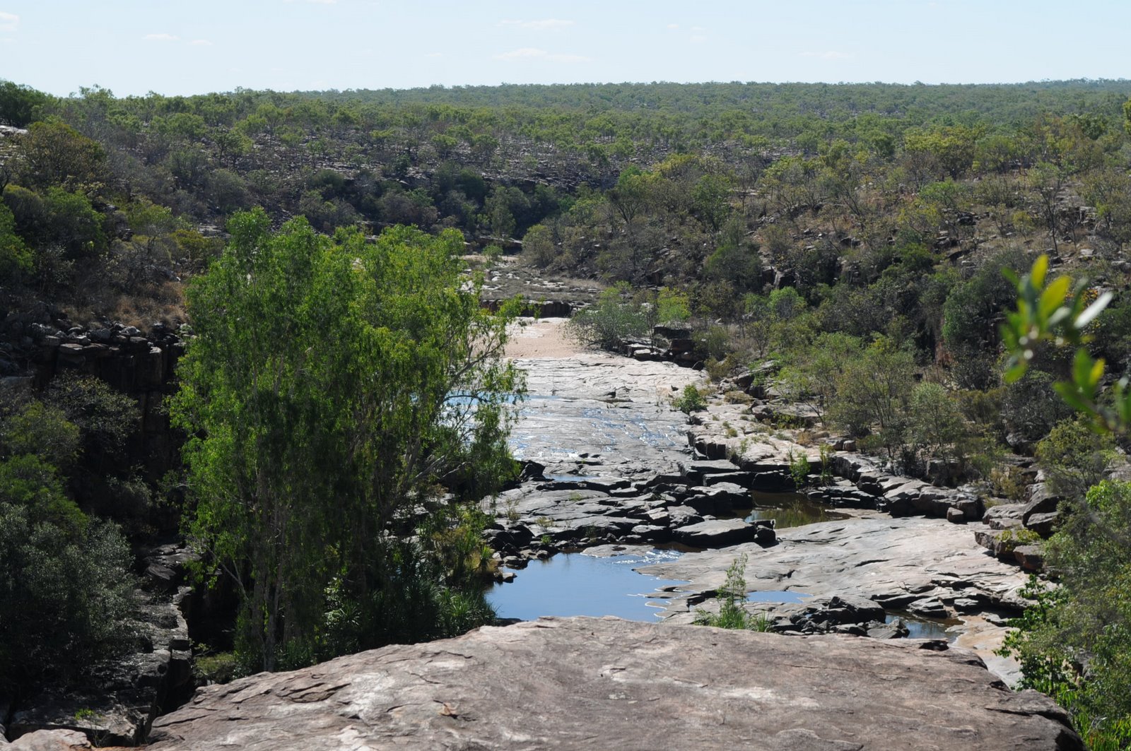
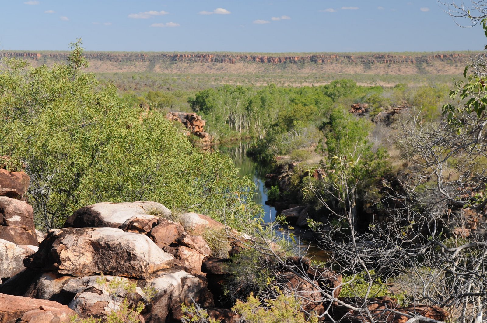
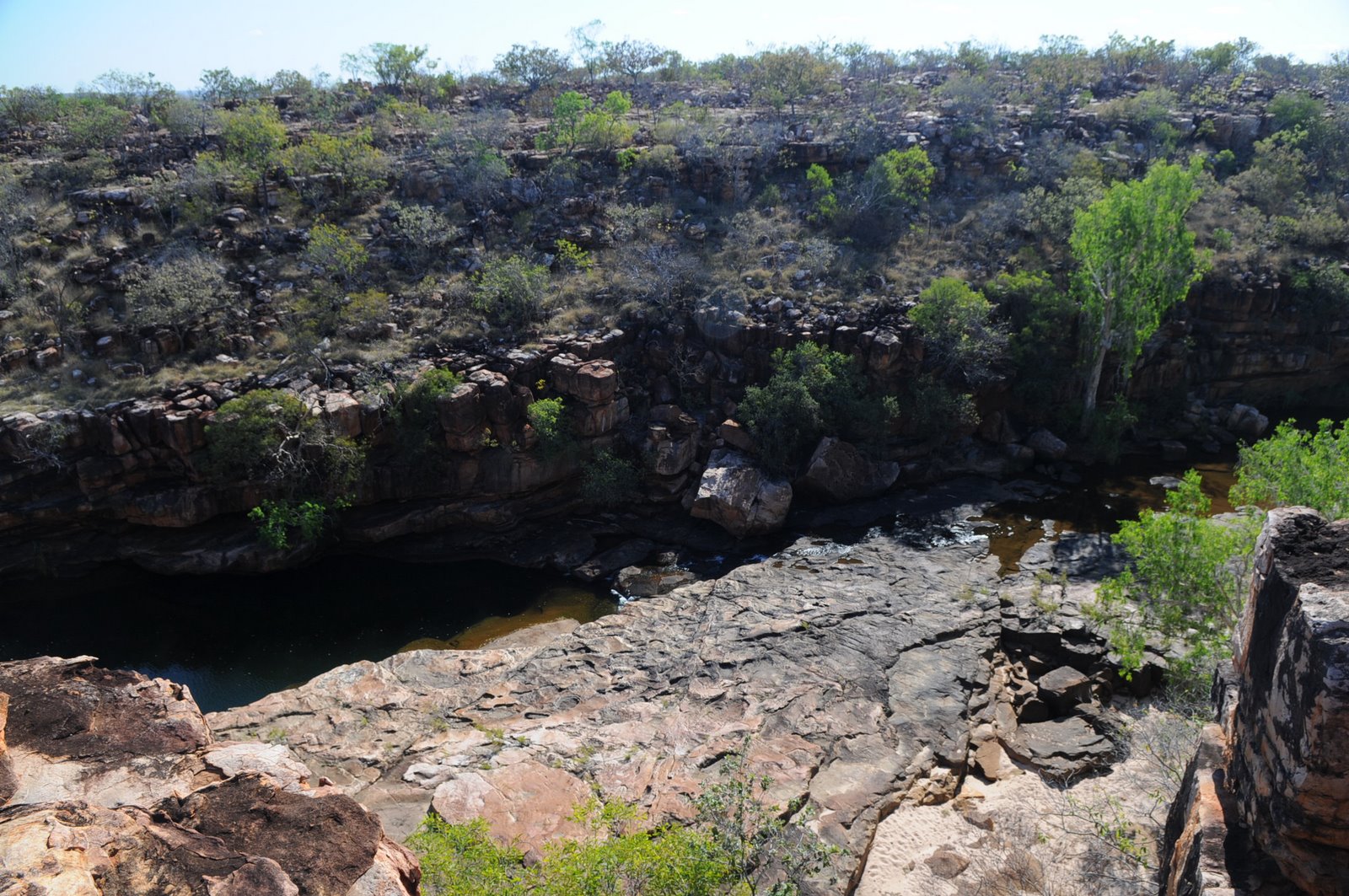
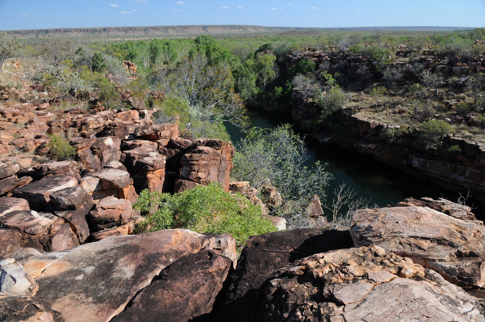
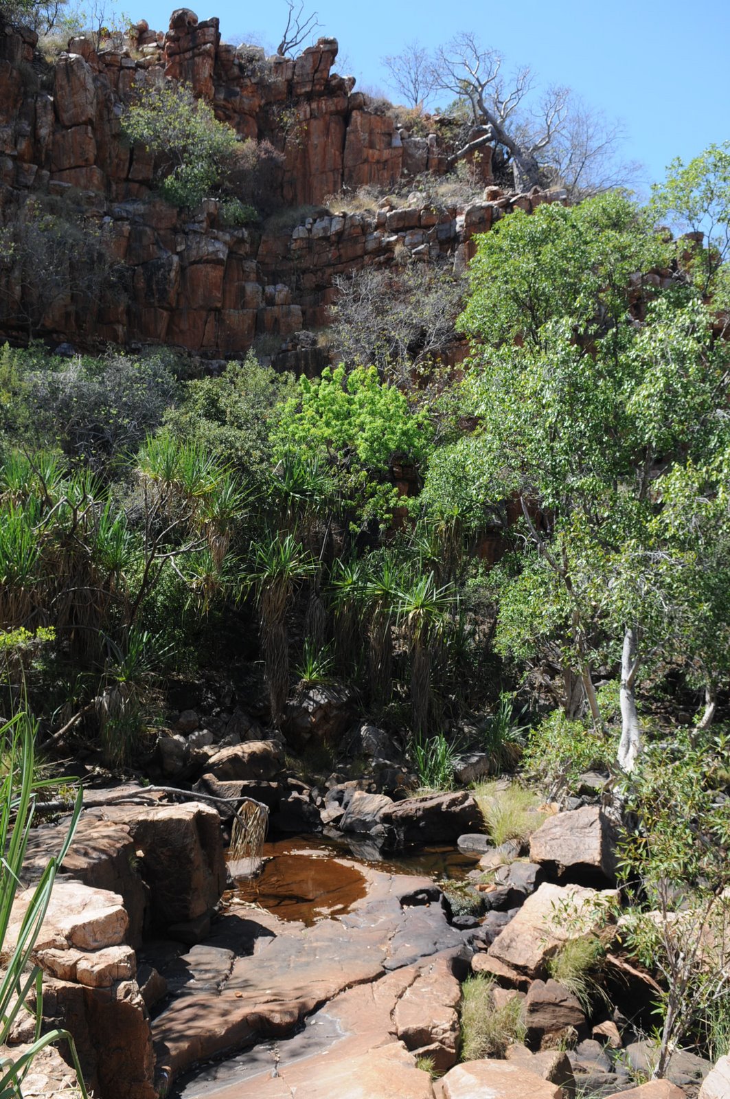
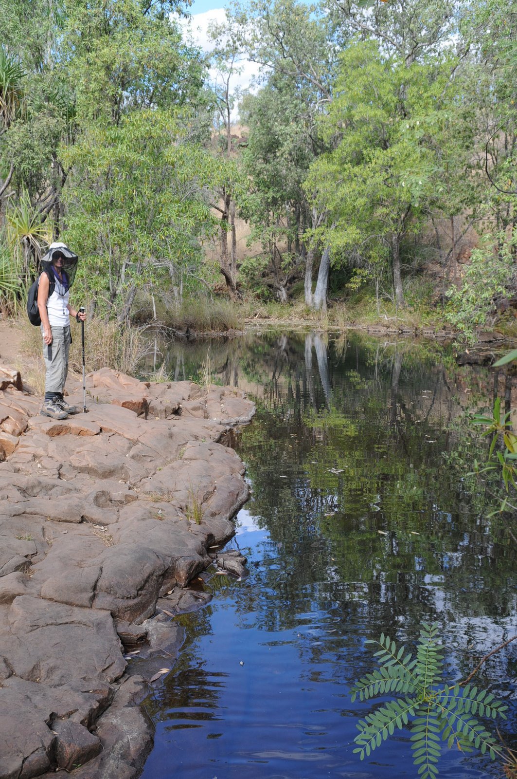
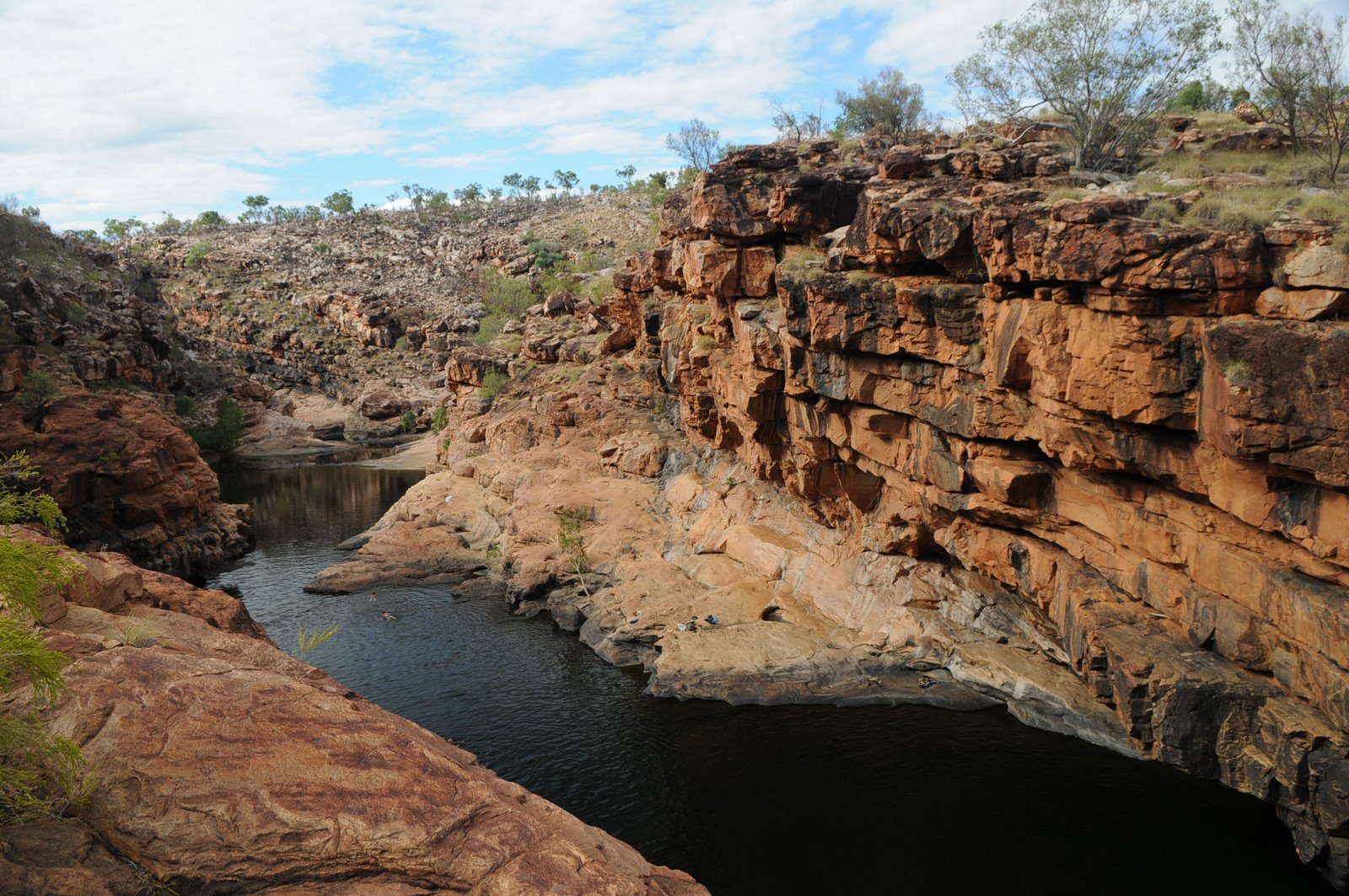
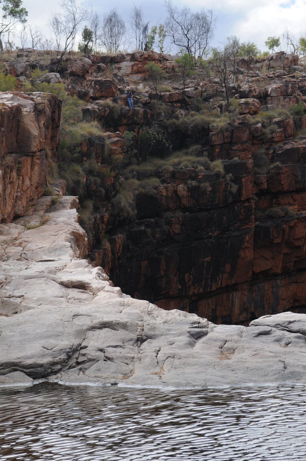
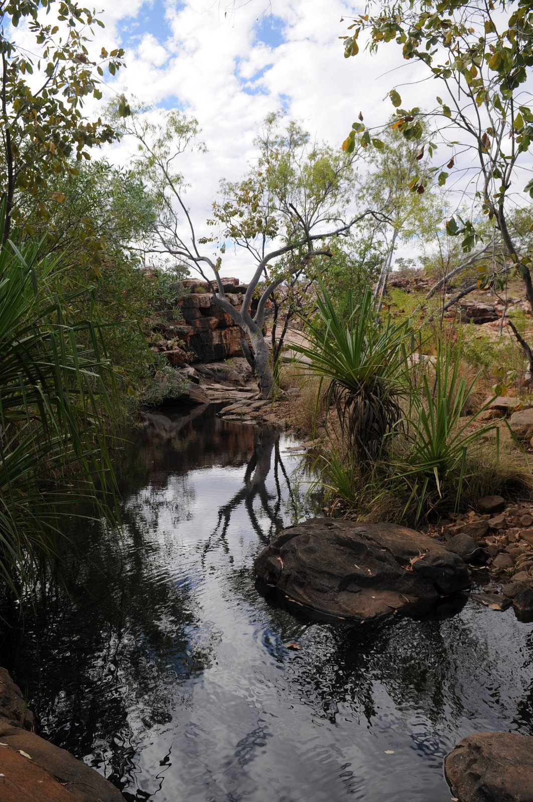
The next morning we were out early to do the canoe ride in the Dimond Gorge on the Fitzroy River. This is the only way to see Dimond Gorge. There are 2 rivers on the property, the Fitzroy and the Adcock but both the gorges are carved out by the Fitzroy River on its way to the coast at King Sound.
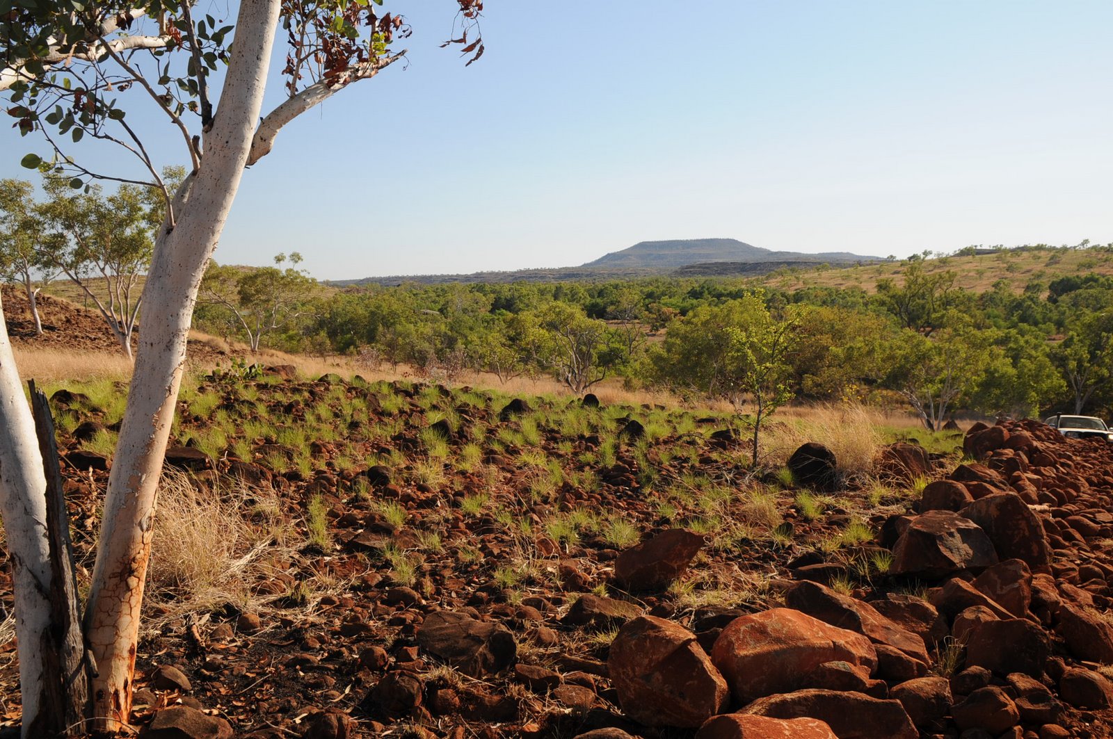
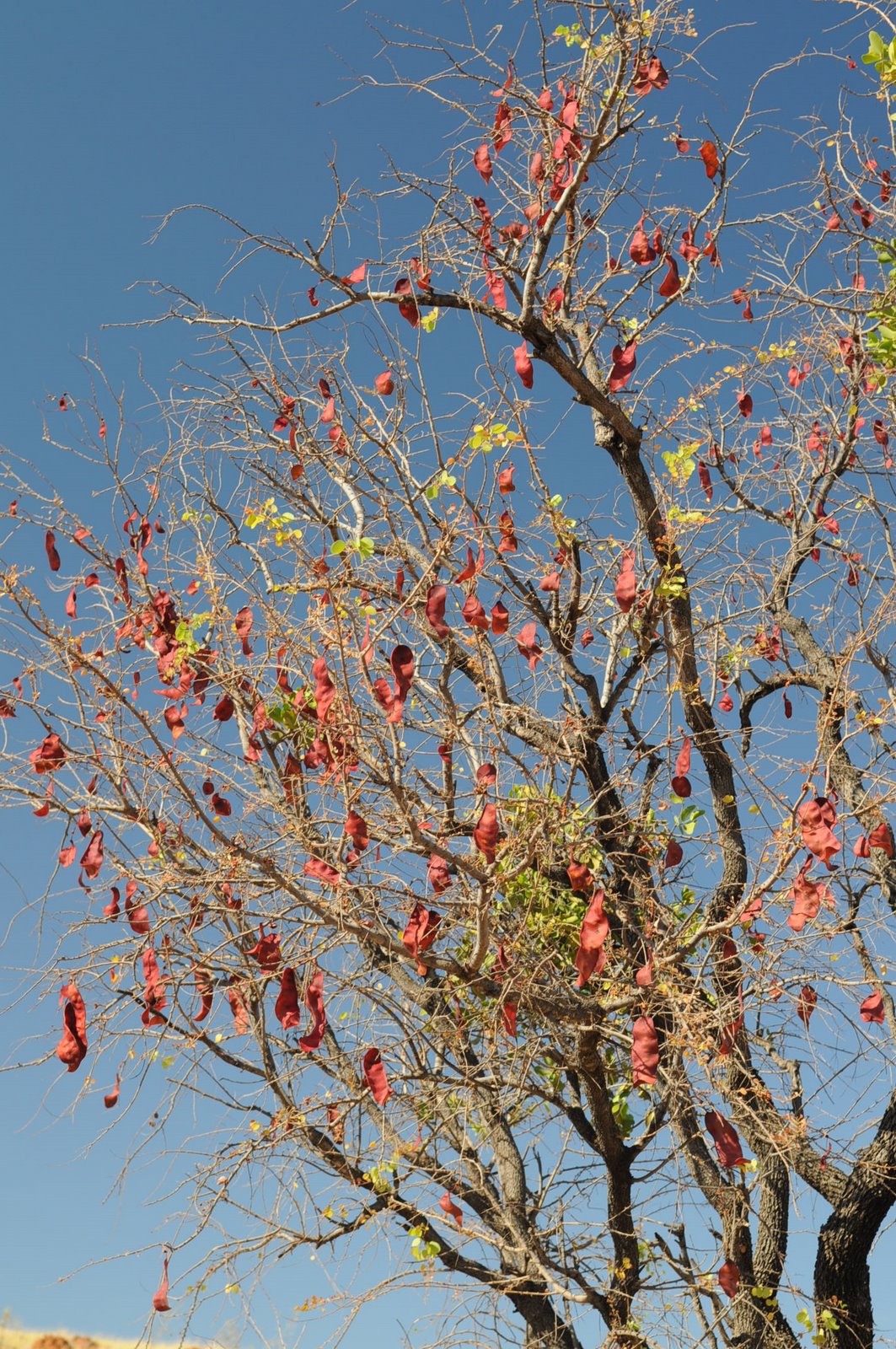
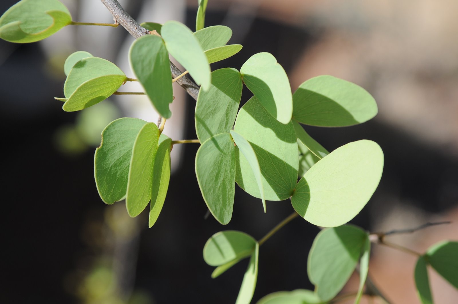
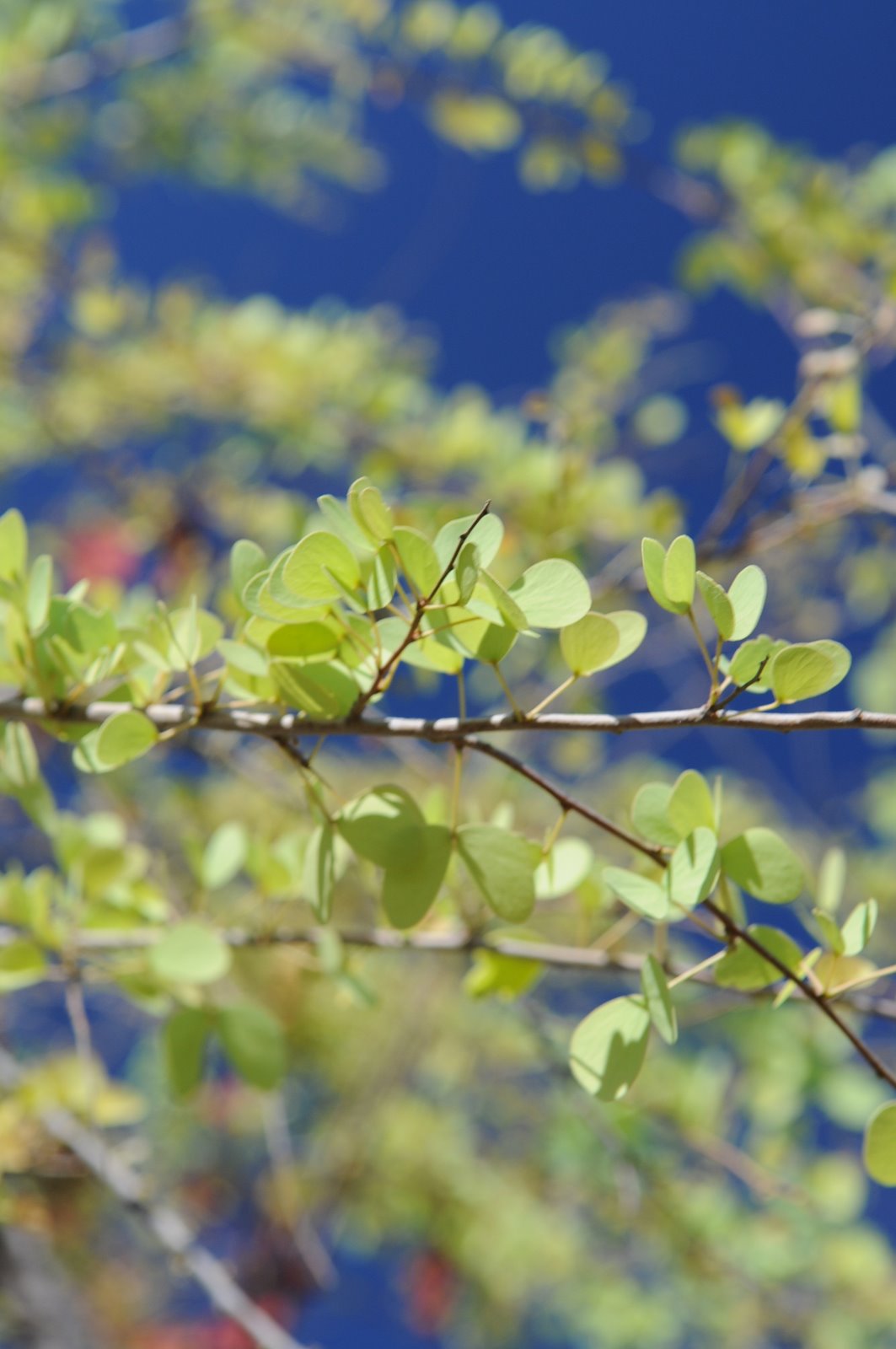
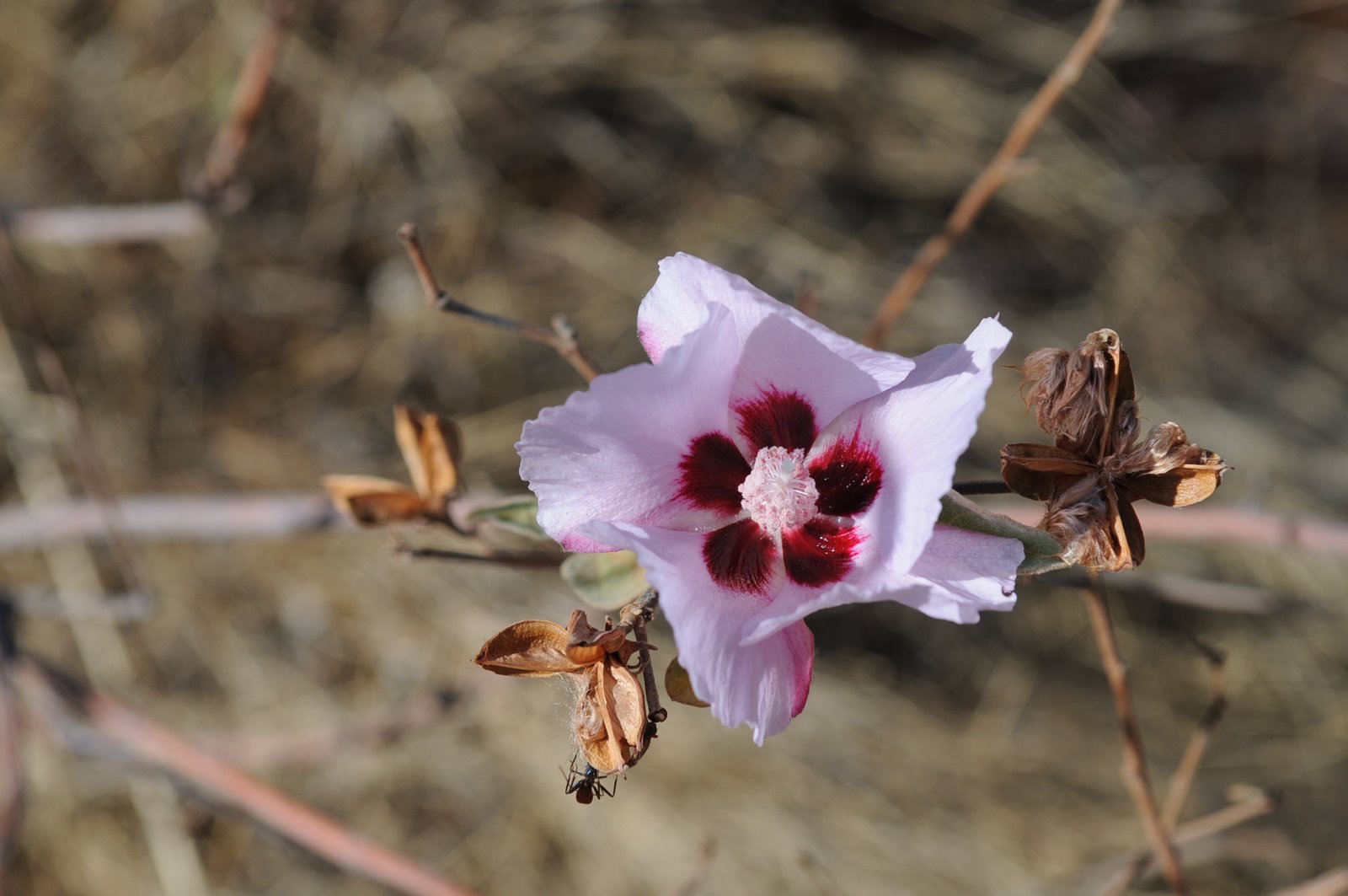
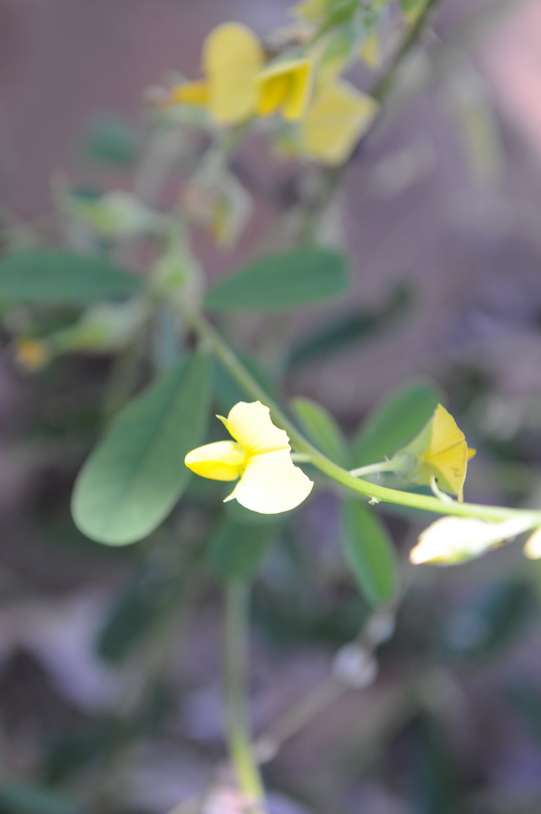
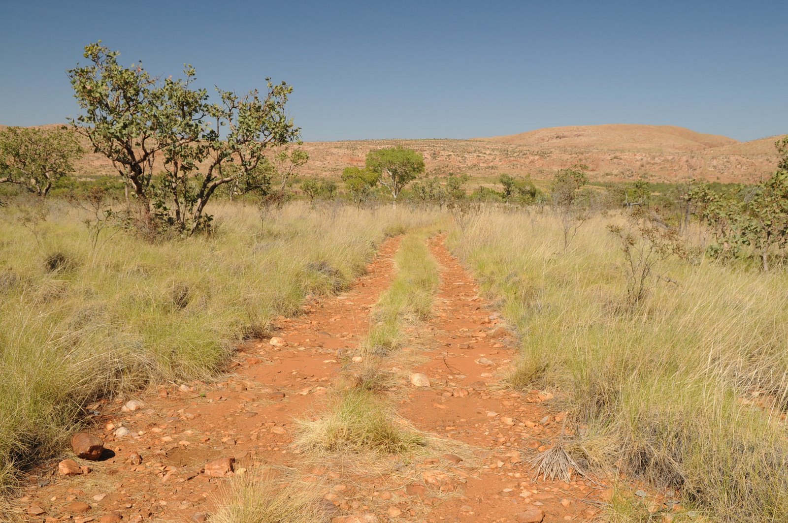
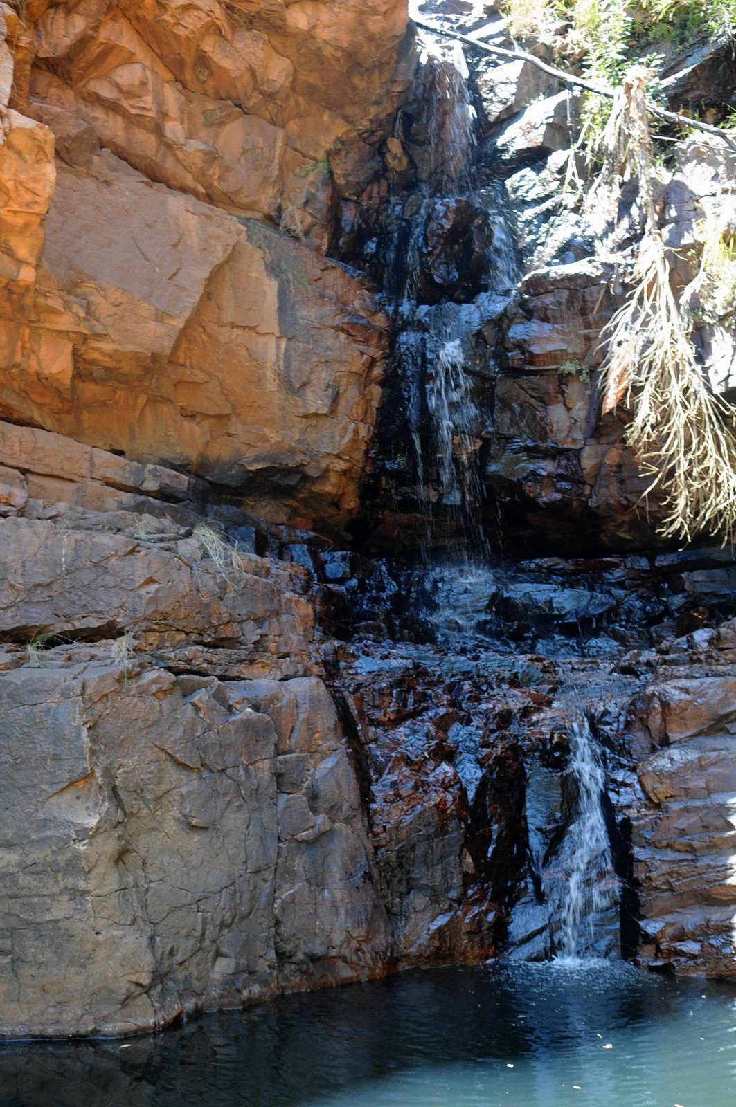
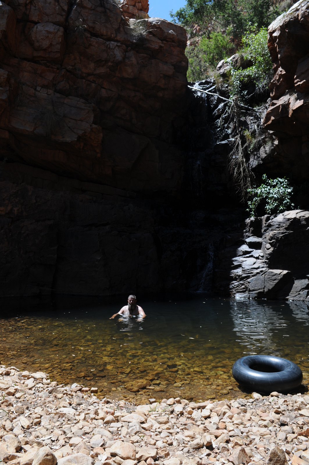
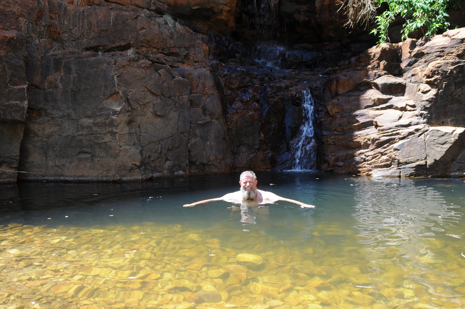
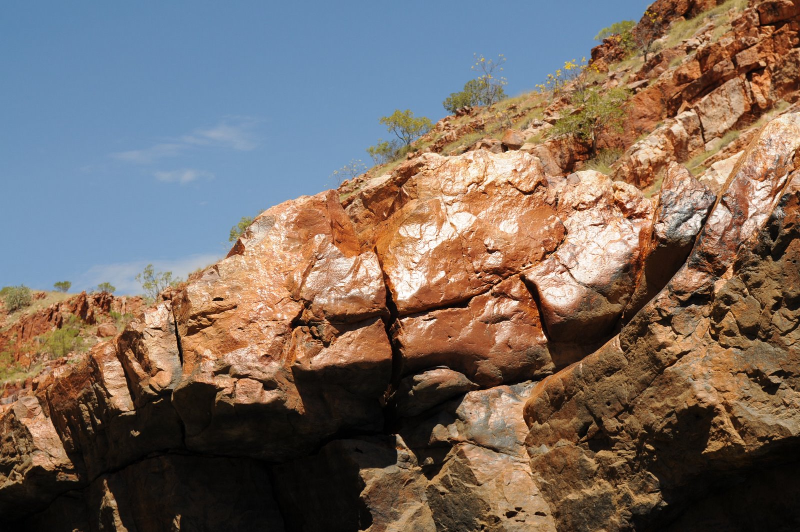
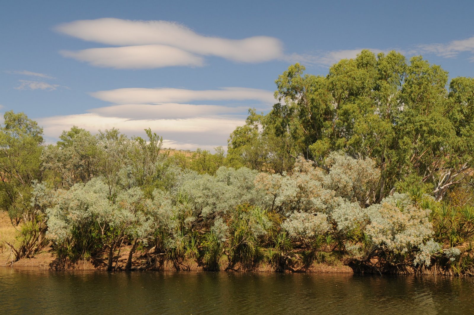
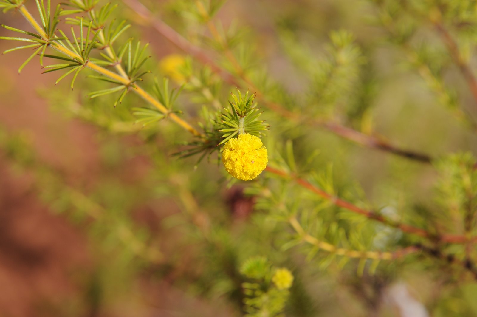
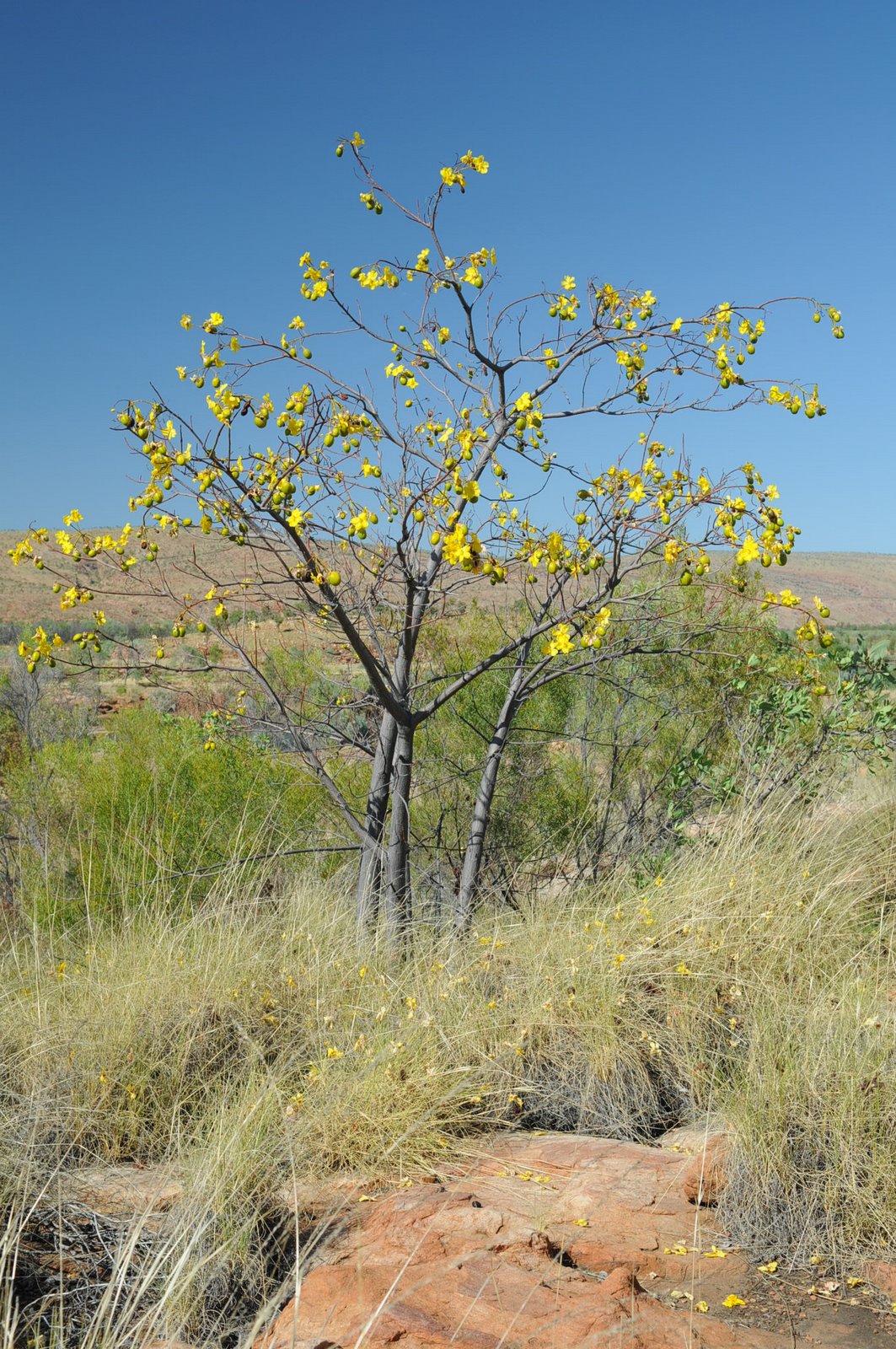
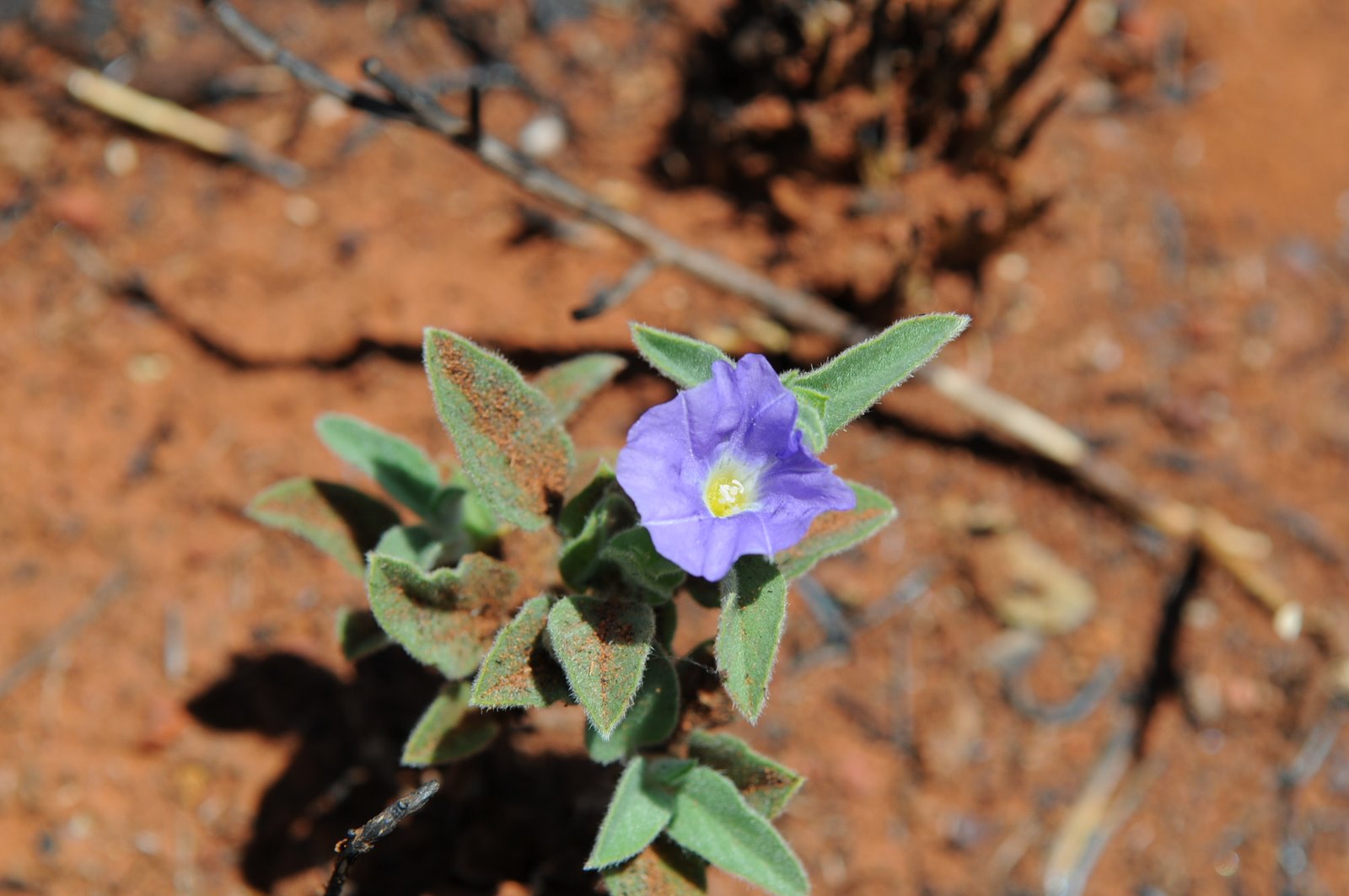
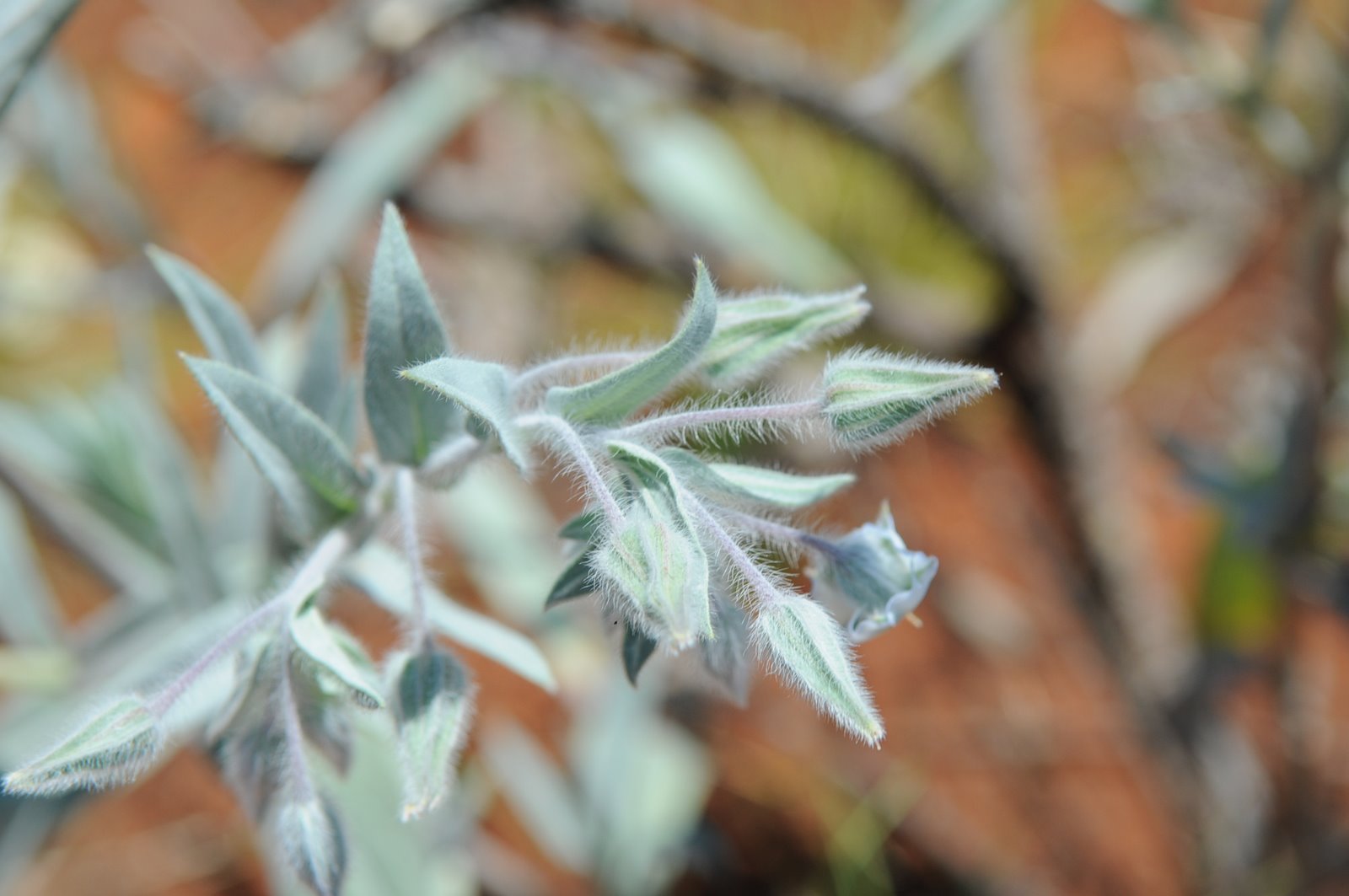
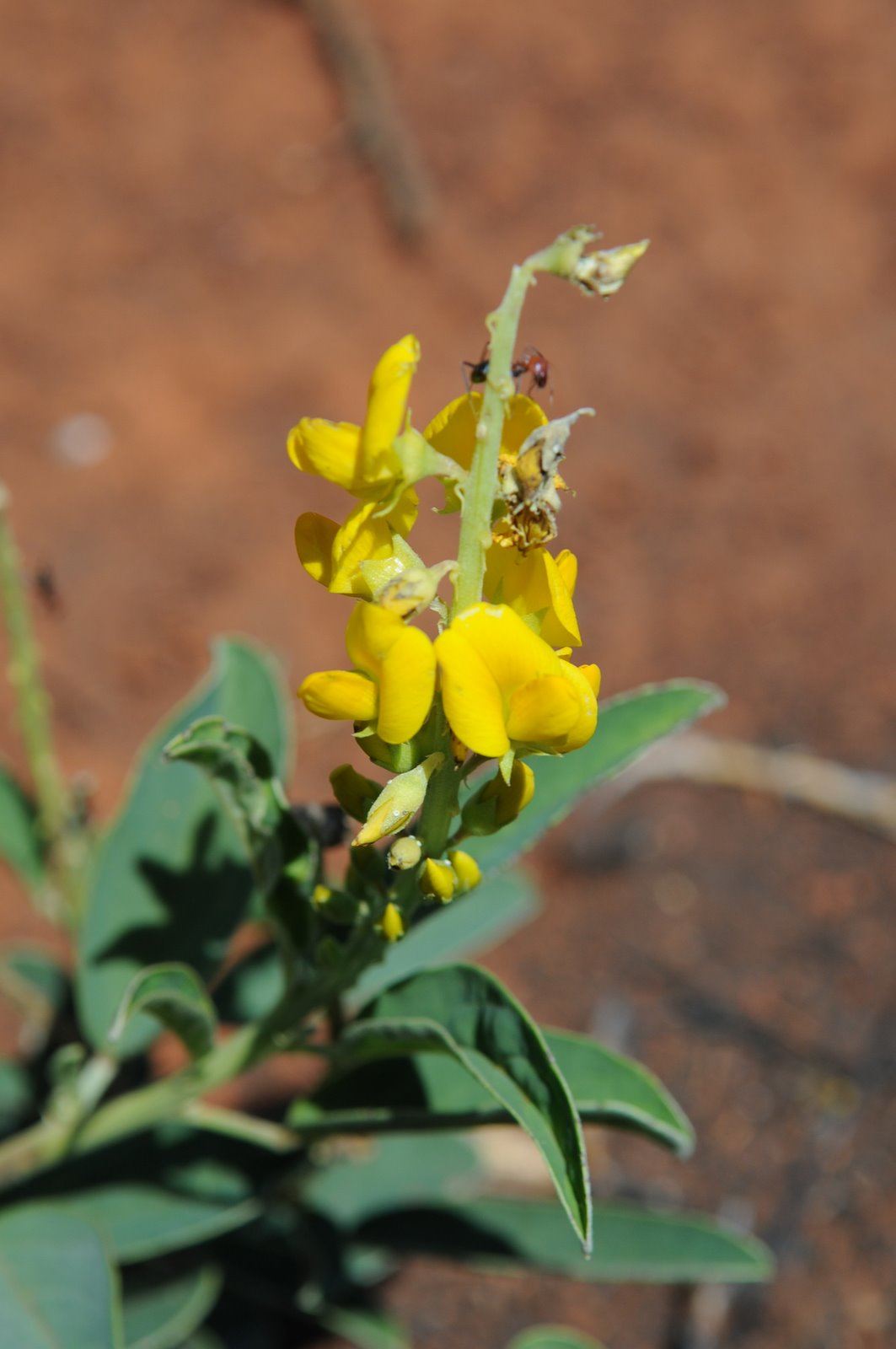
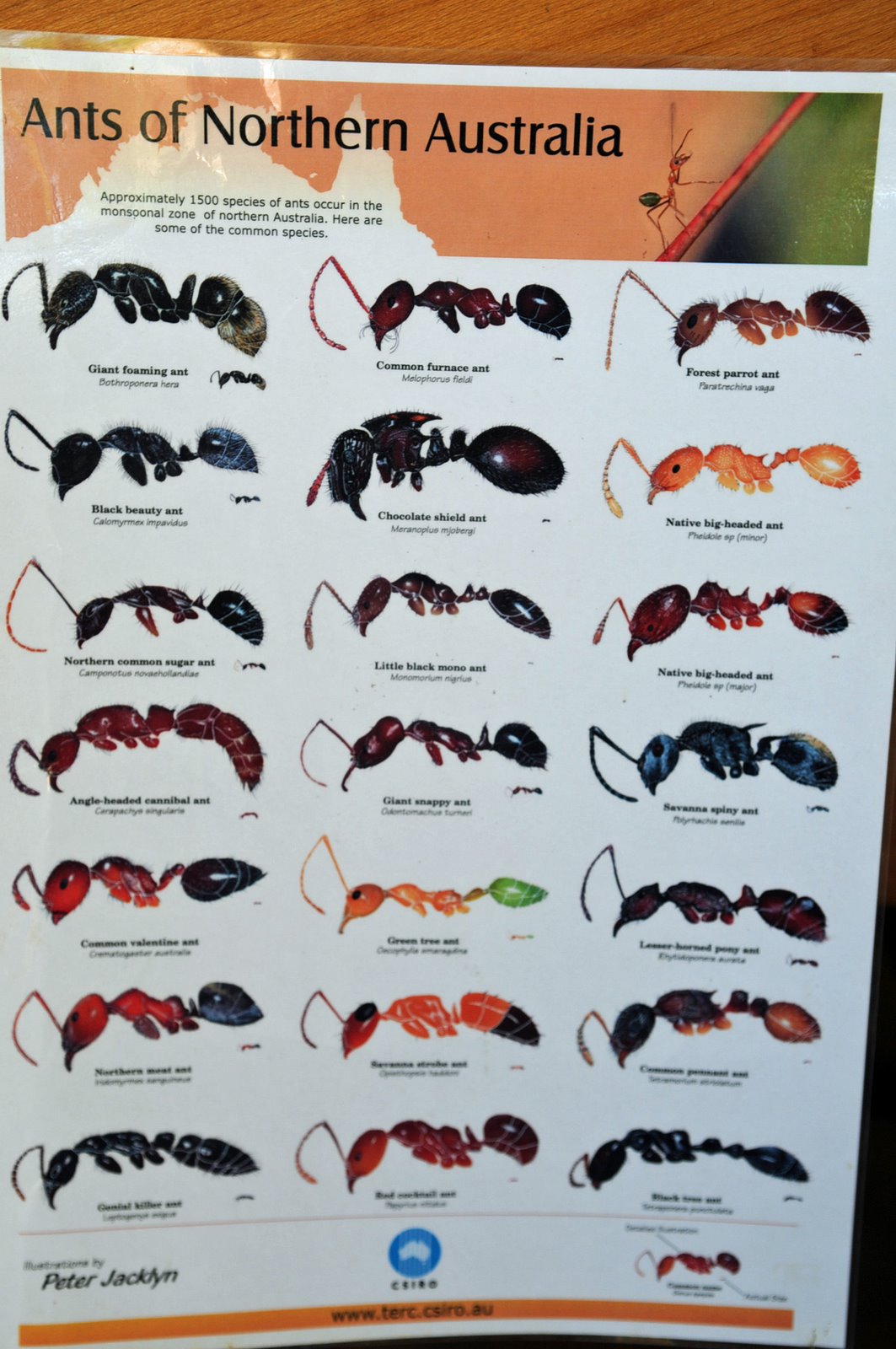
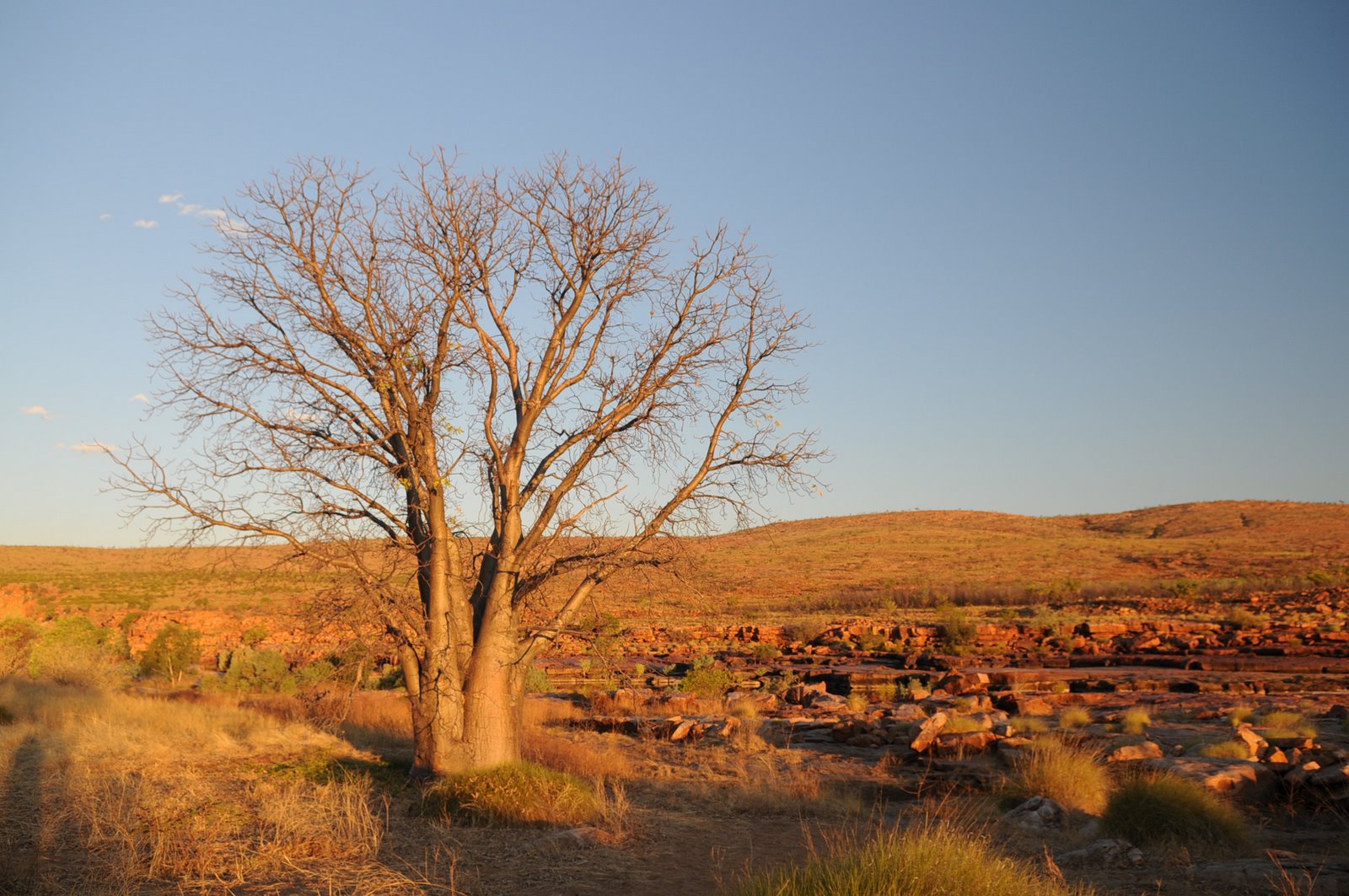
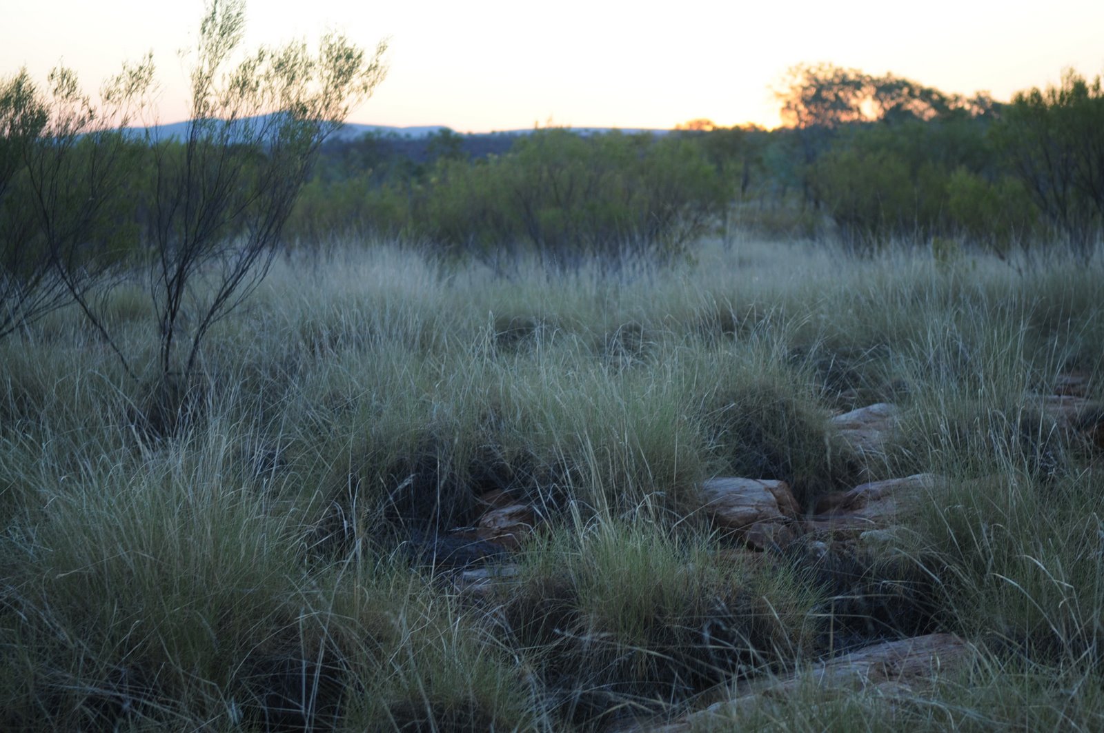
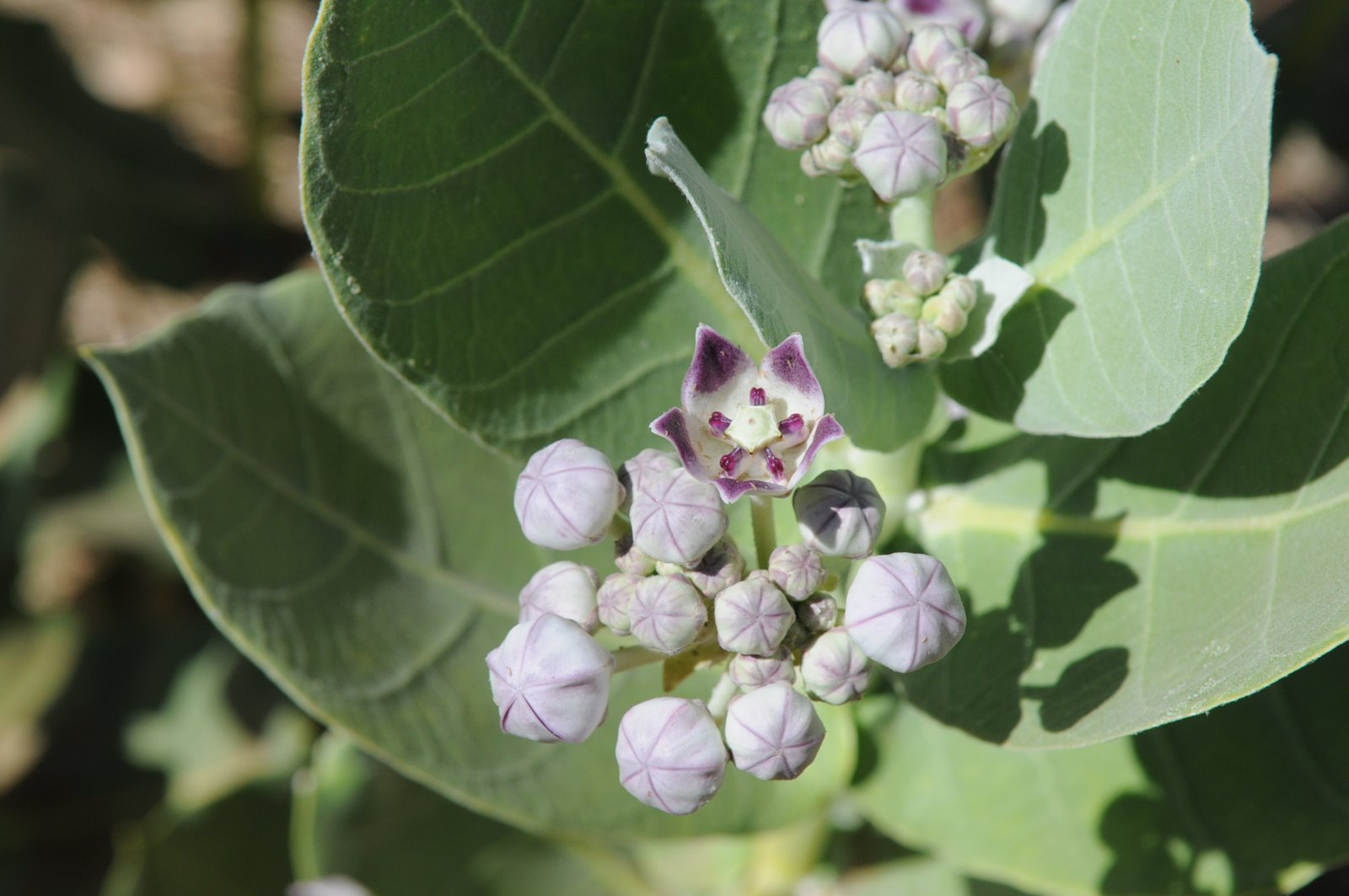
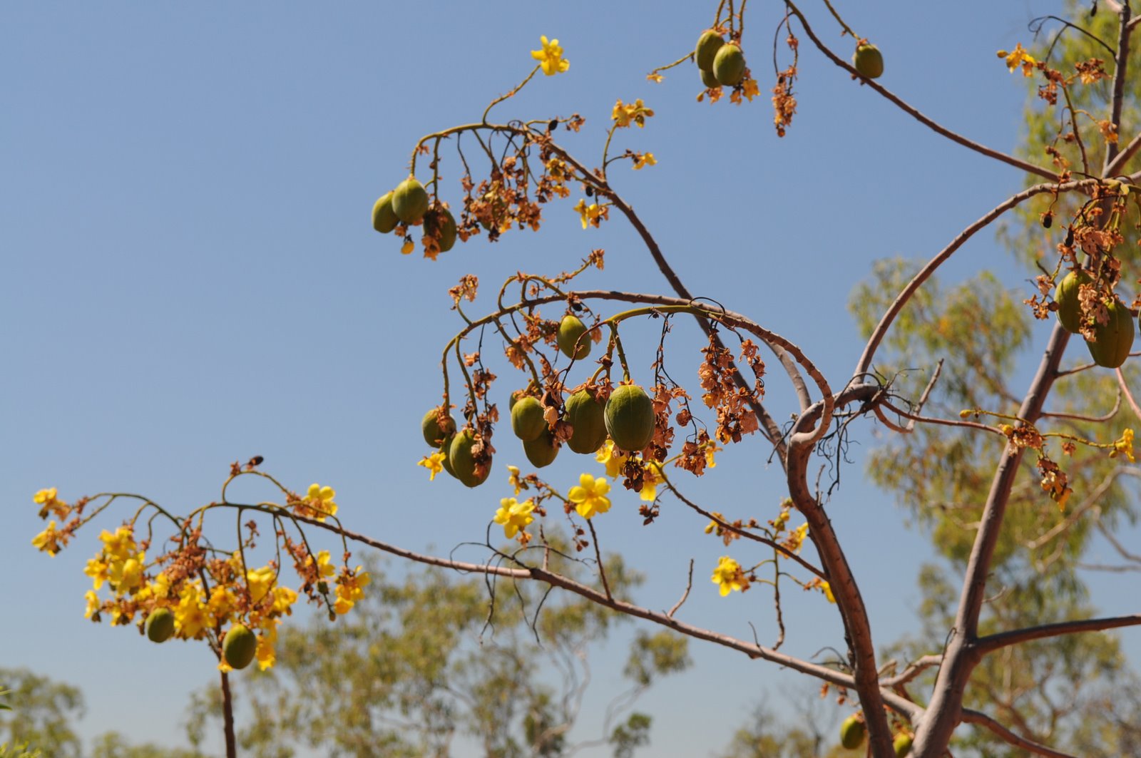
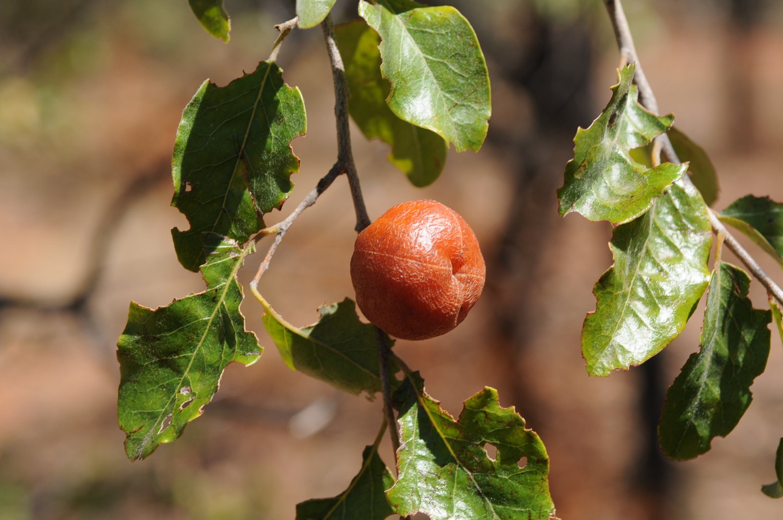
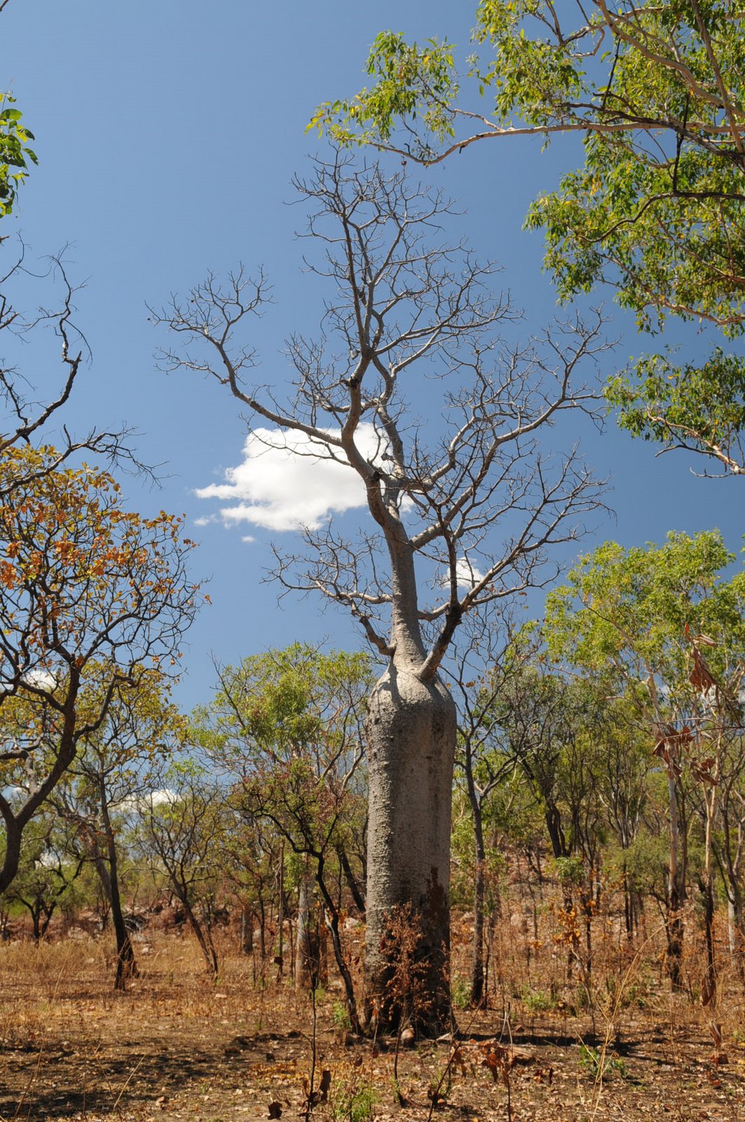
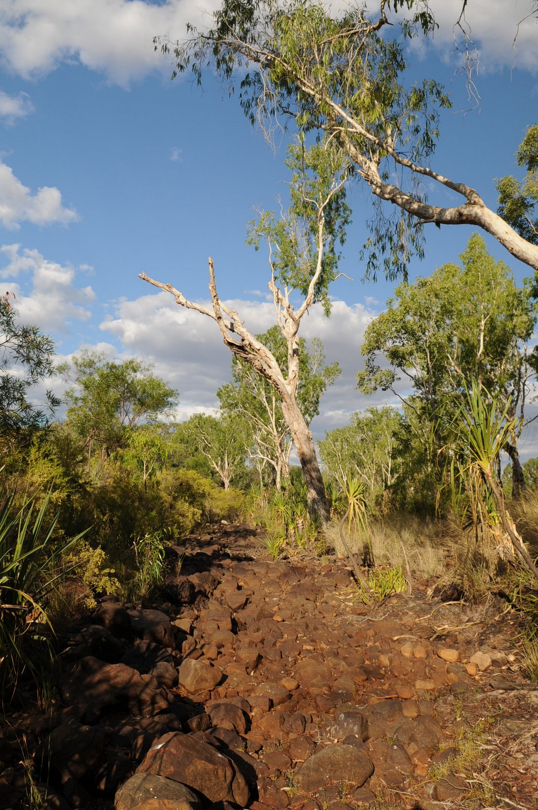
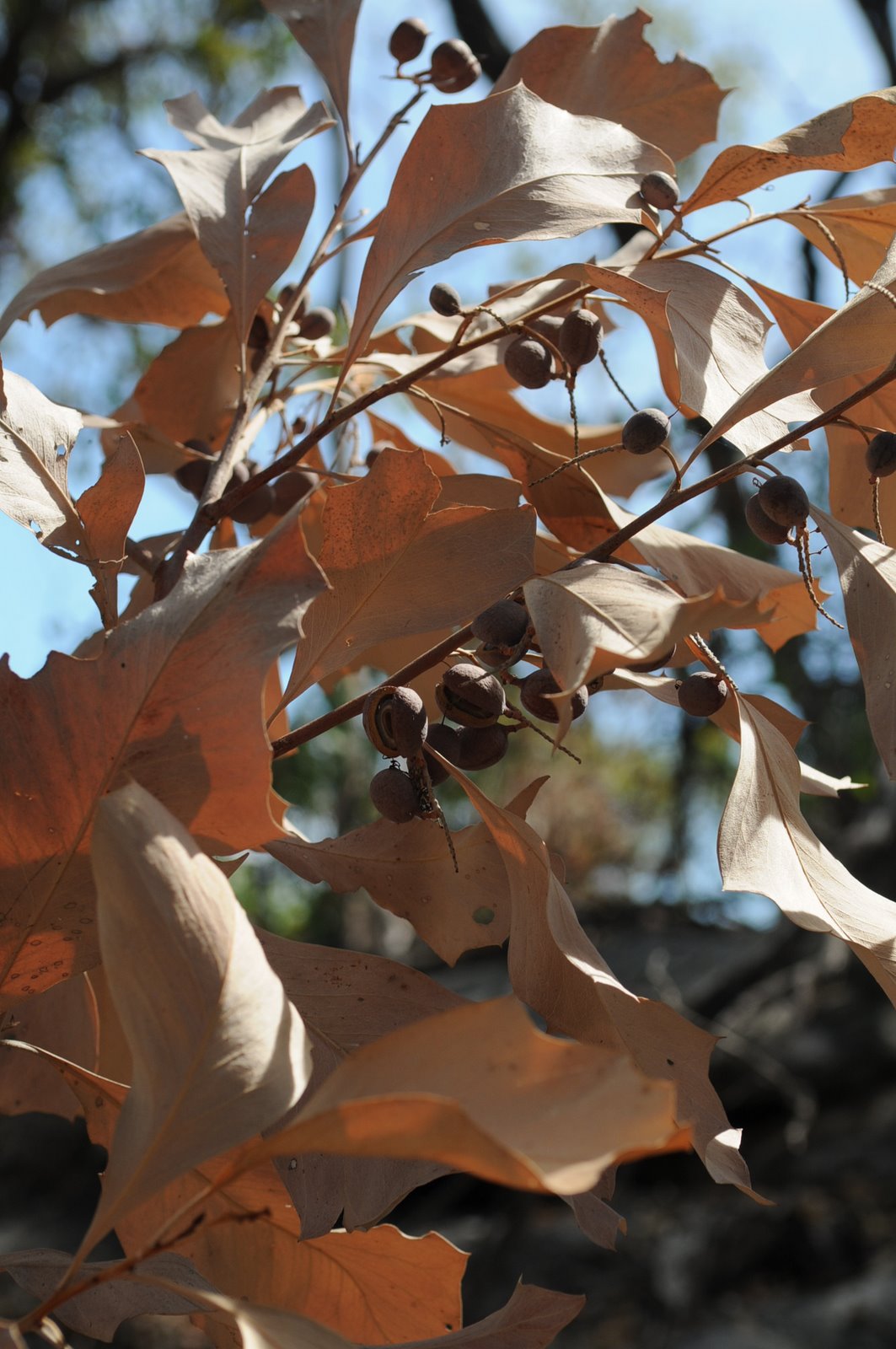
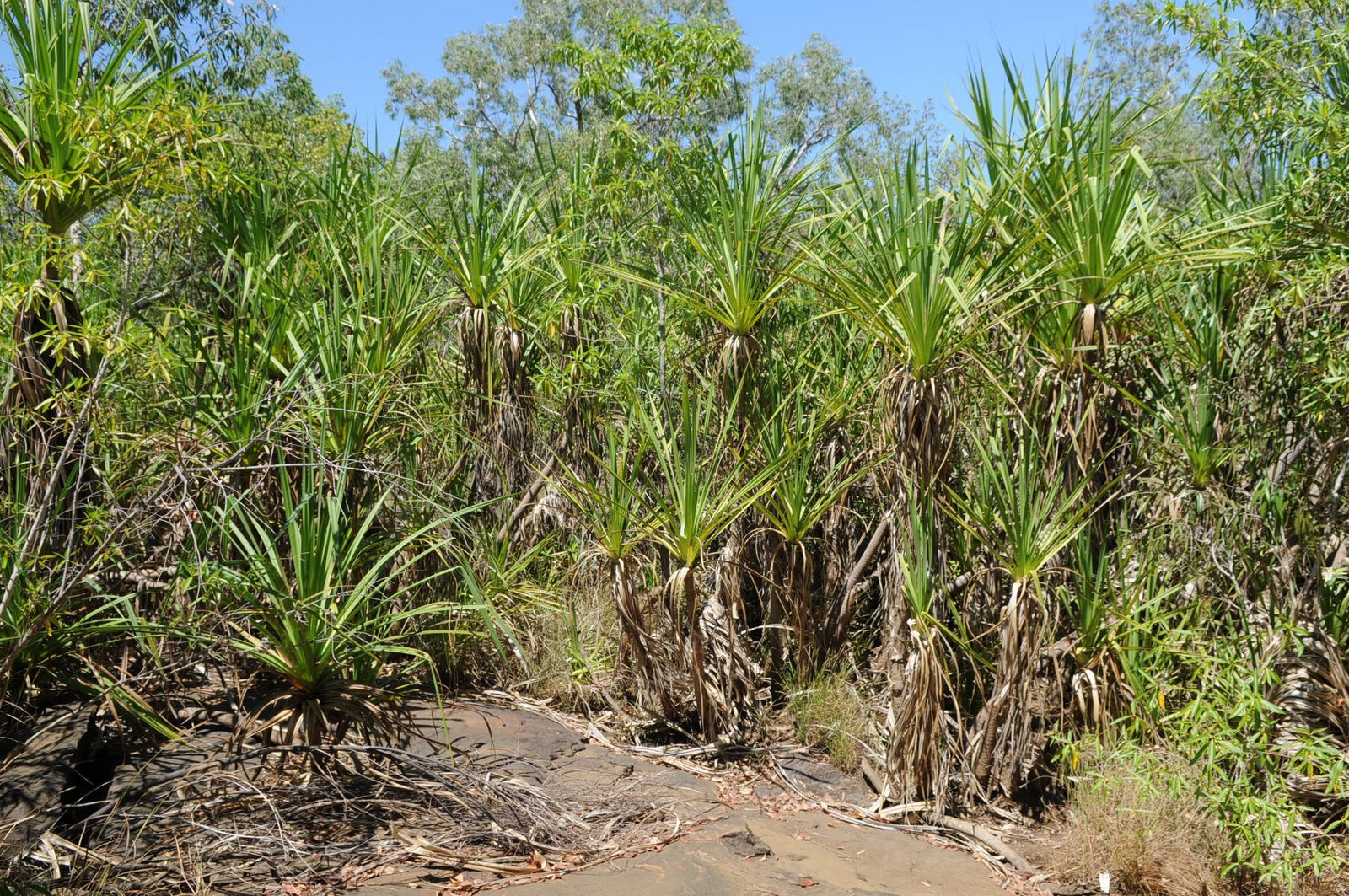
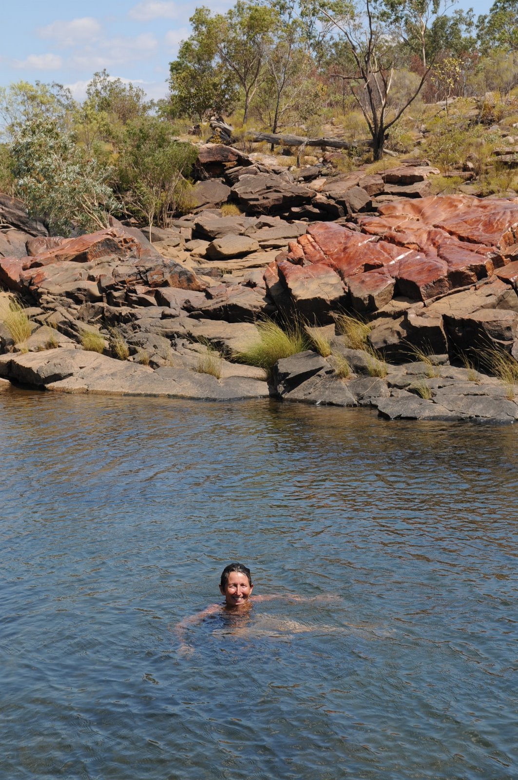
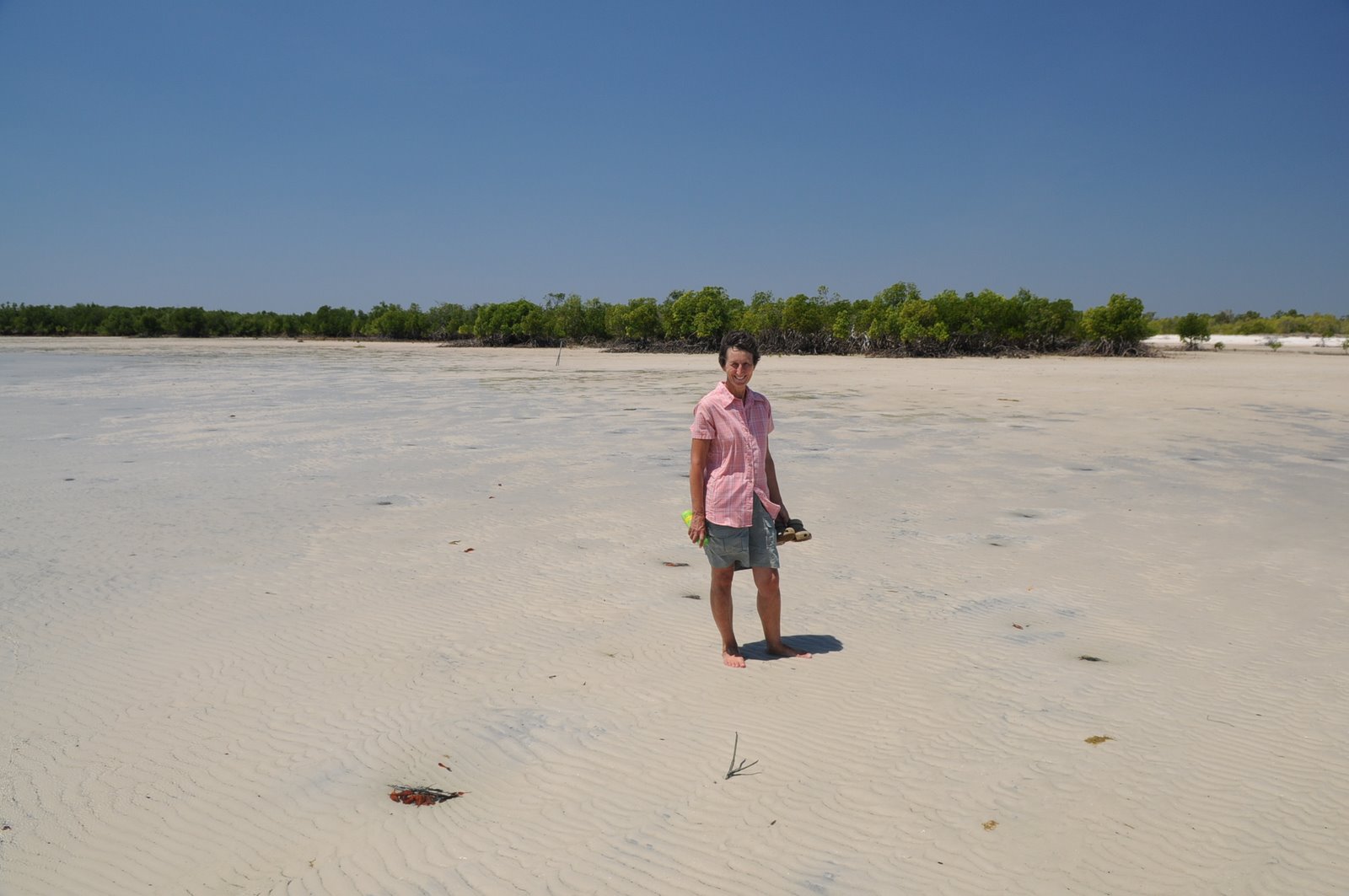
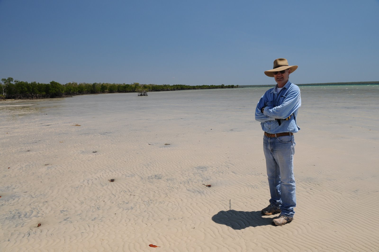
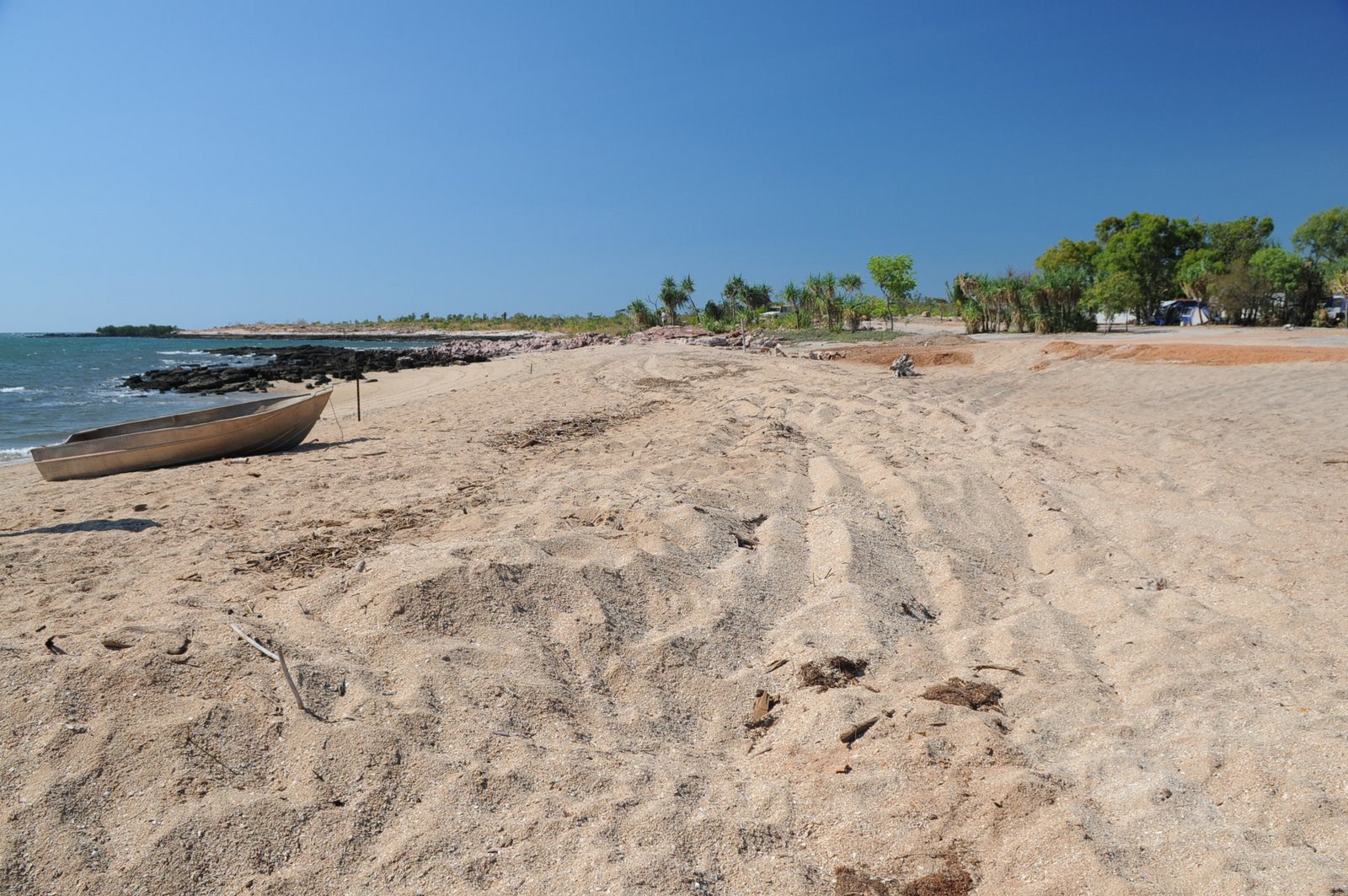
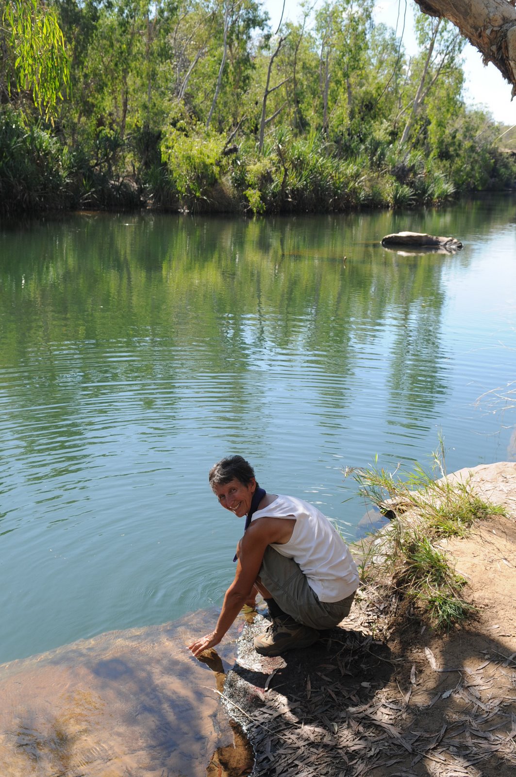
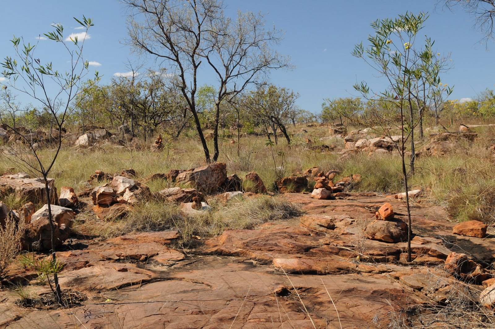
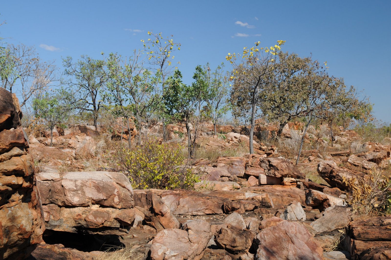
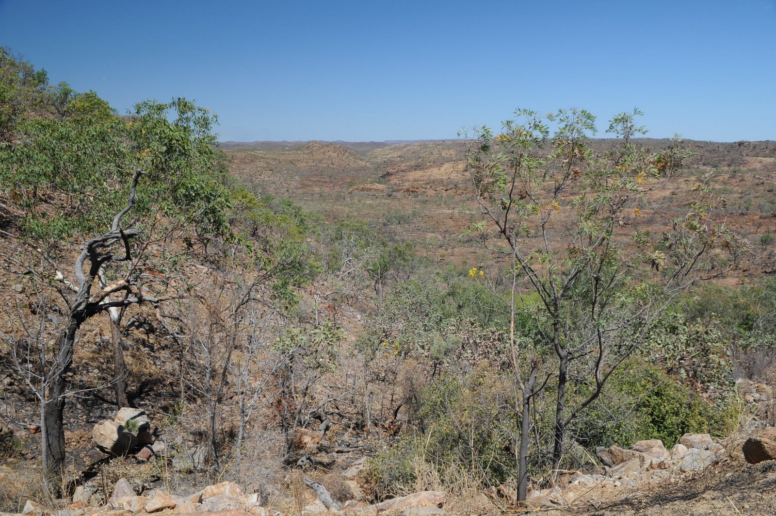
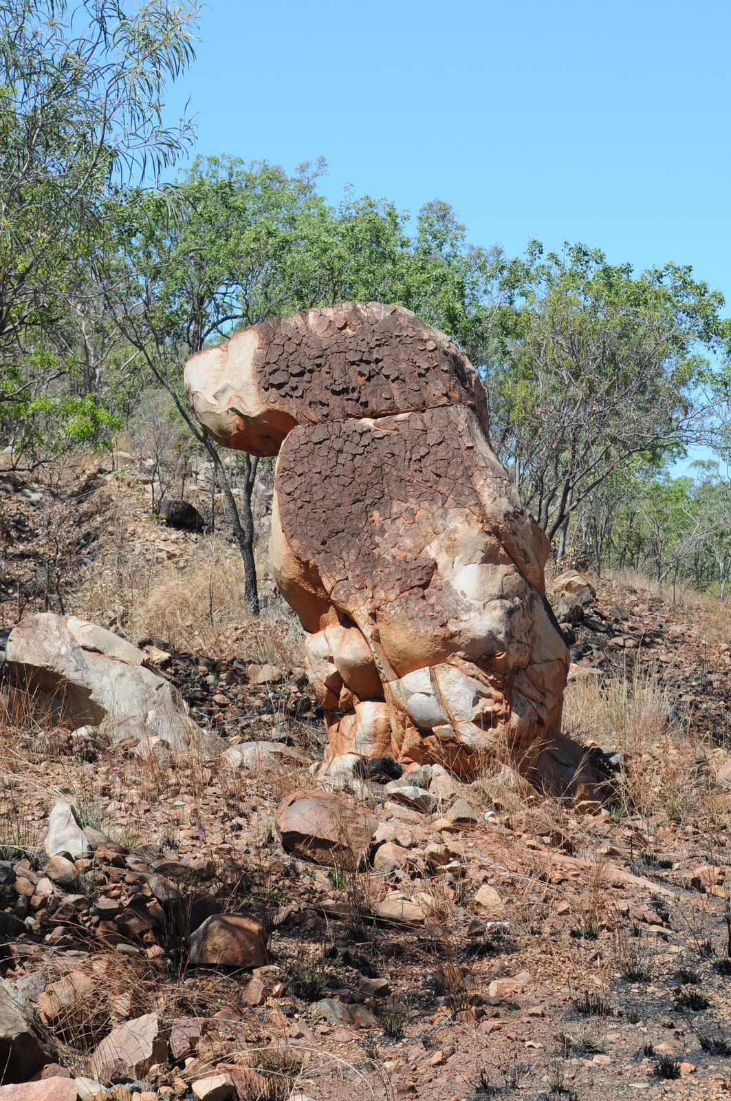
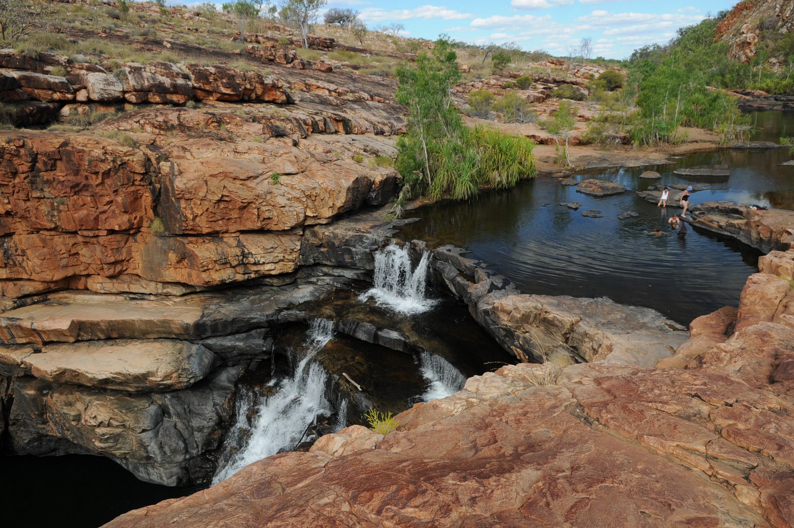
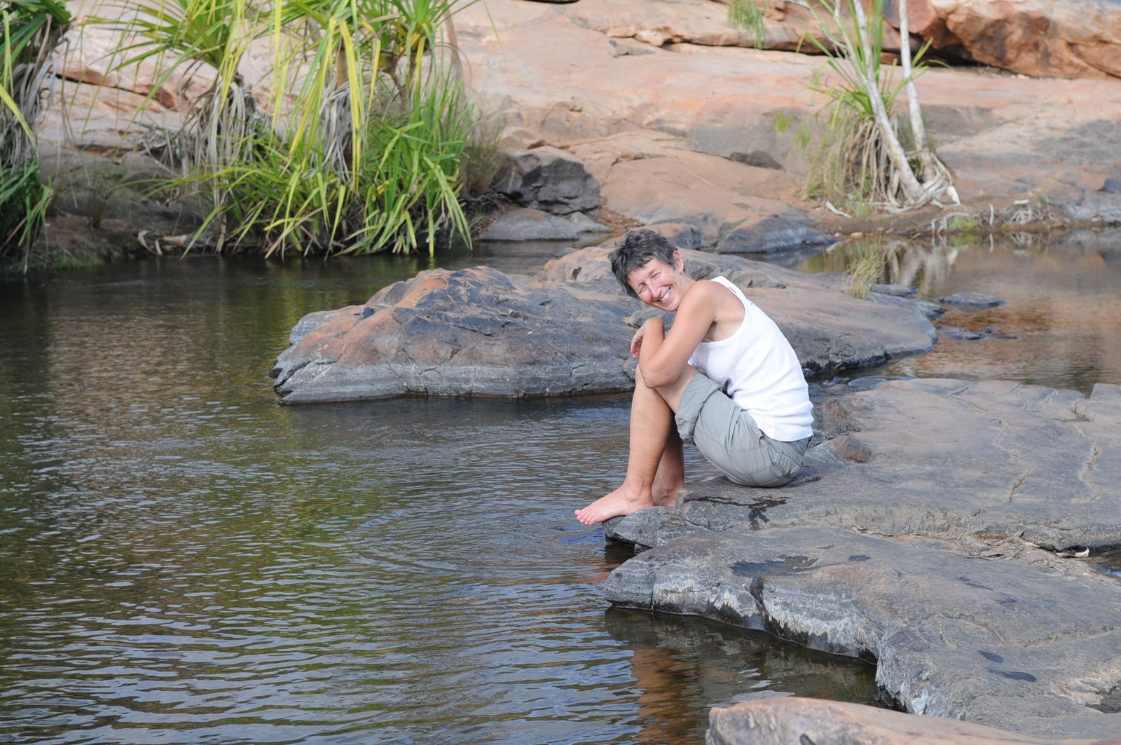
It was a very hot day but the scenery was magnificent and it was a great way to see it. We paddled 2km up and back although there was a head wind on the way back. We stopped at the beach and again only found it because 3 other canoes had pulled up on the bank. We walked in to the waterfall and both Mike and I went for a swim just to cool off from the heat. We managed to get in and out of the canoe without tipping it over which was quite an achievement. We could follow the flora and fauna of the area and identify the different areas, soil types and trees that we were driving through from the information pamphlets issued by Mornington.
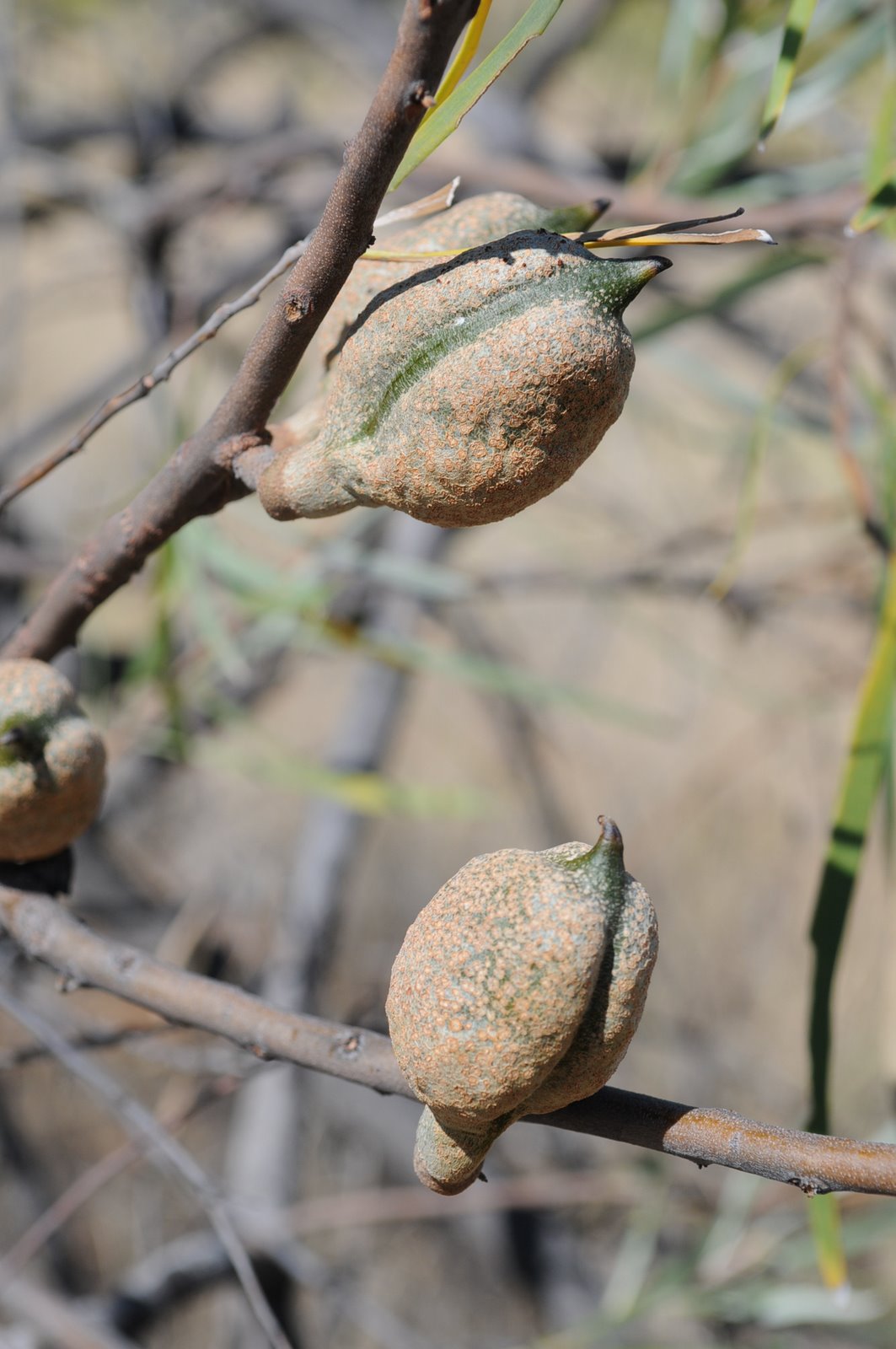
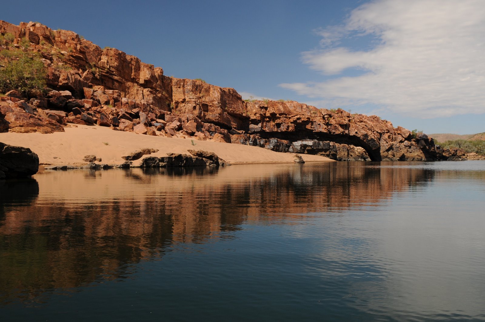
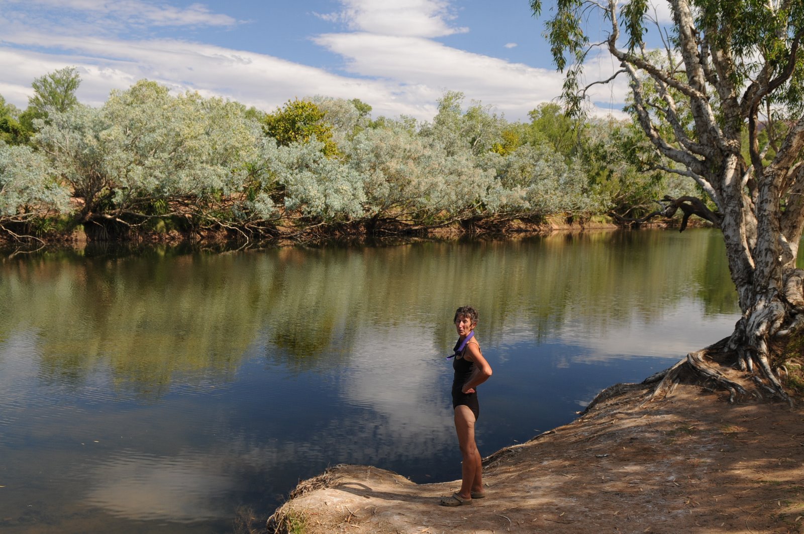
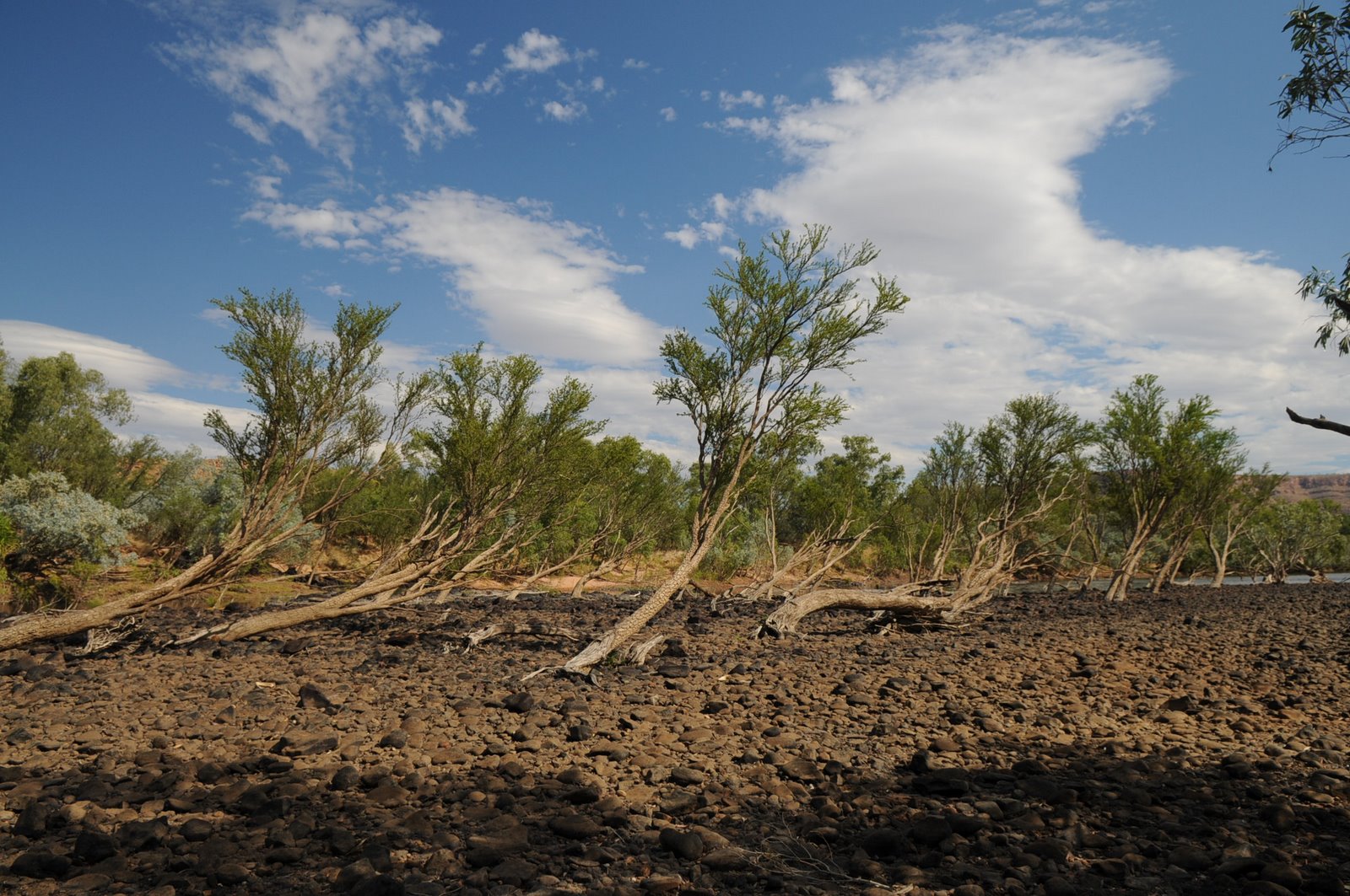
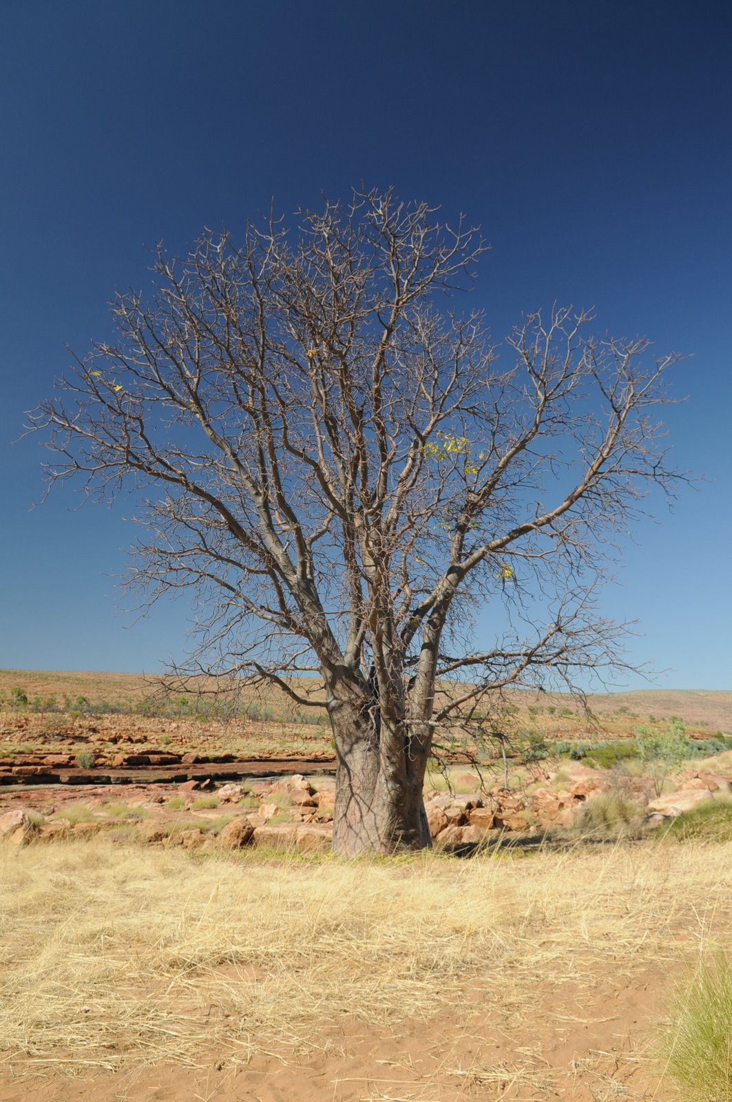
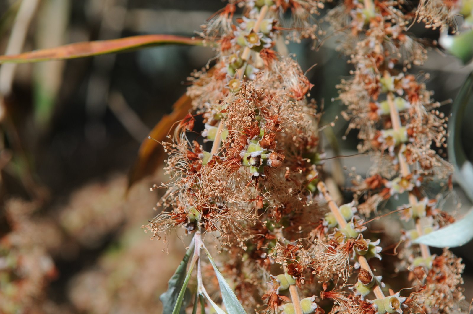
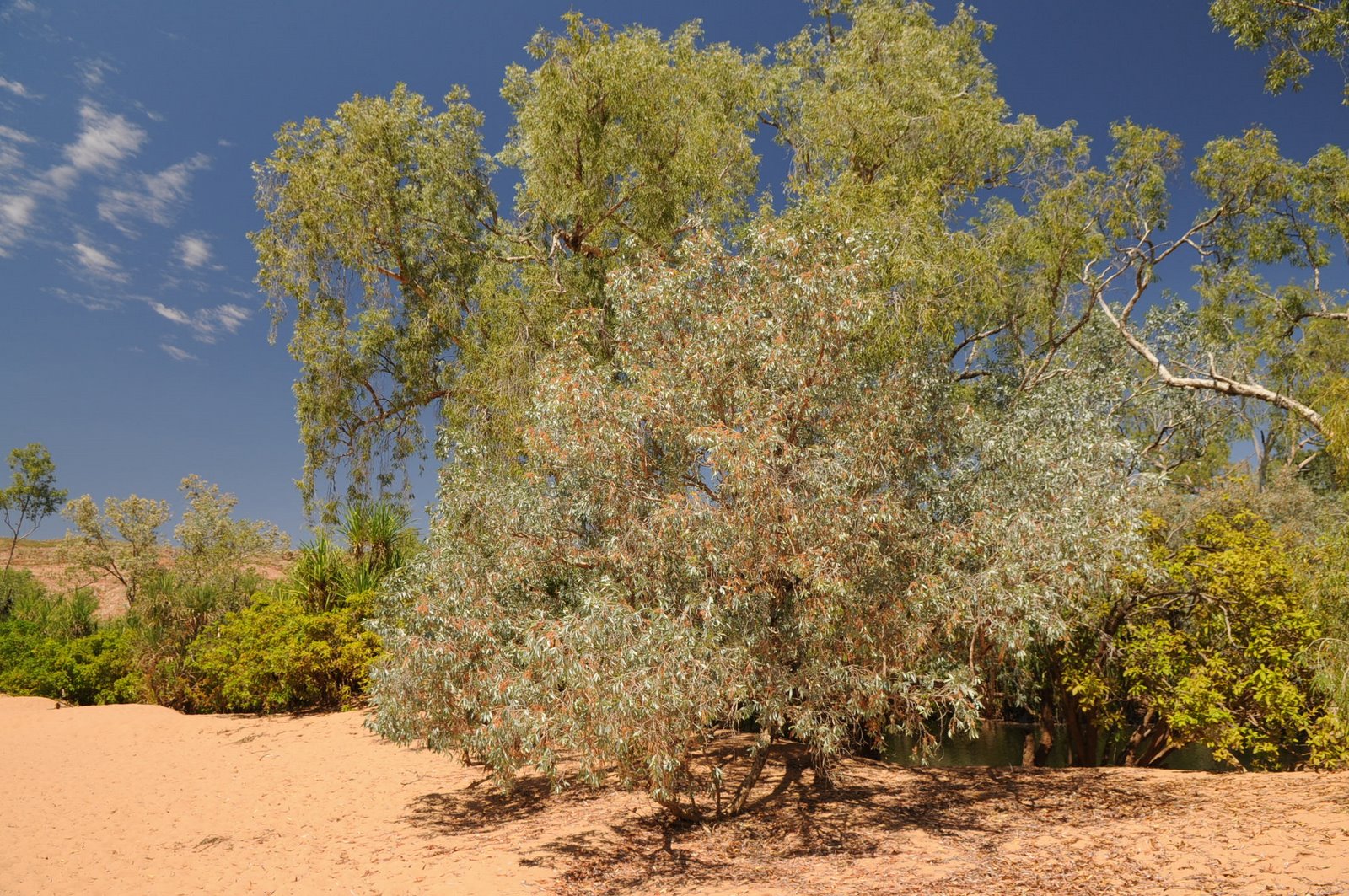
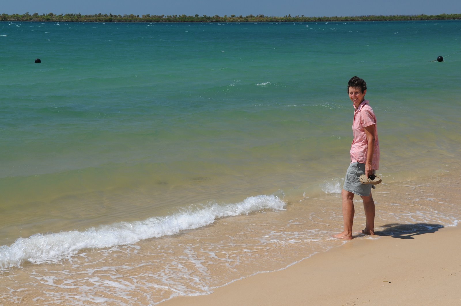
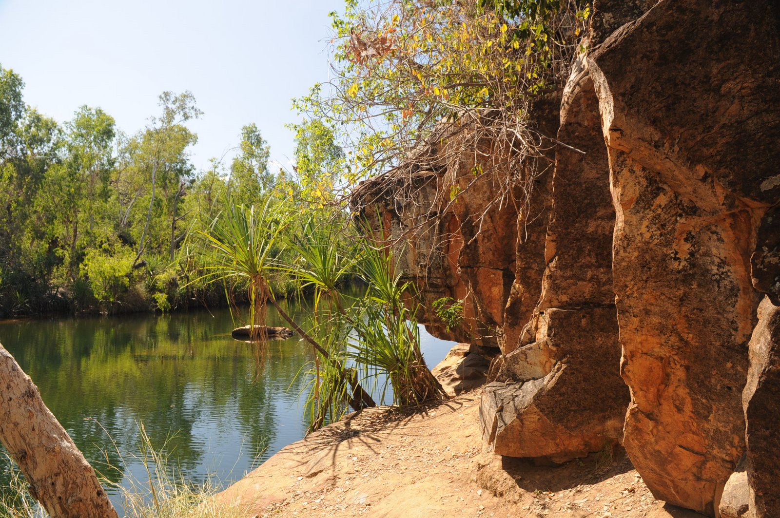
The black soil areas were originally basalt and become very boggy very quickly as soon as there is any rain. The Bauhinia trees, or Jigal in aboriginal, have small leaves that face each other and are plentiful. It was a most delightful journey. On the way back from the gorge we stopped at Cajeput, which is the aboriginal word for paperbark trees, to have a swim in the Fitzroy River.
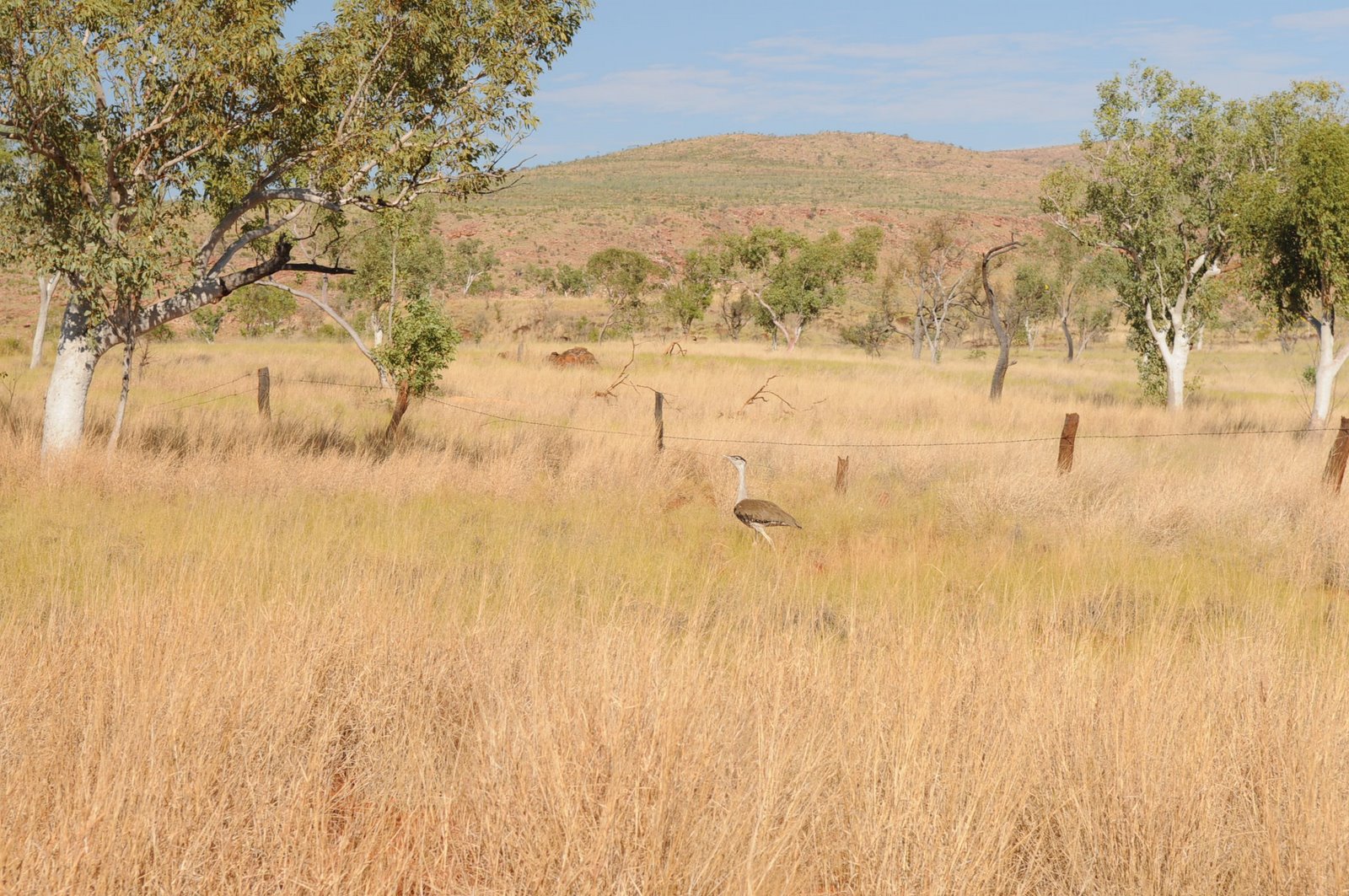
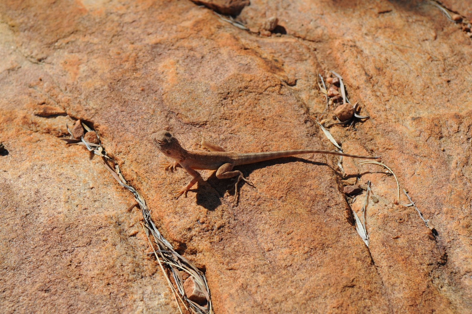
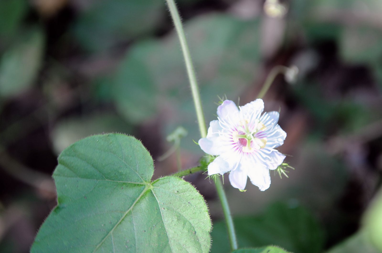
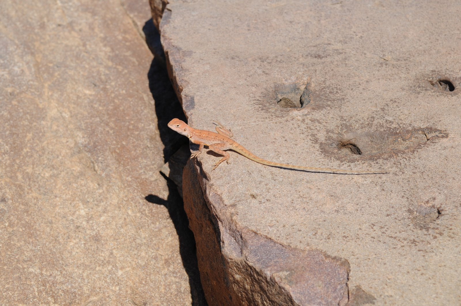
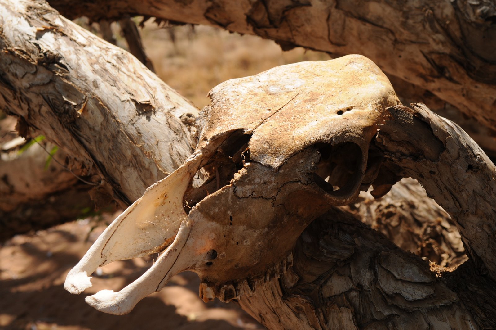
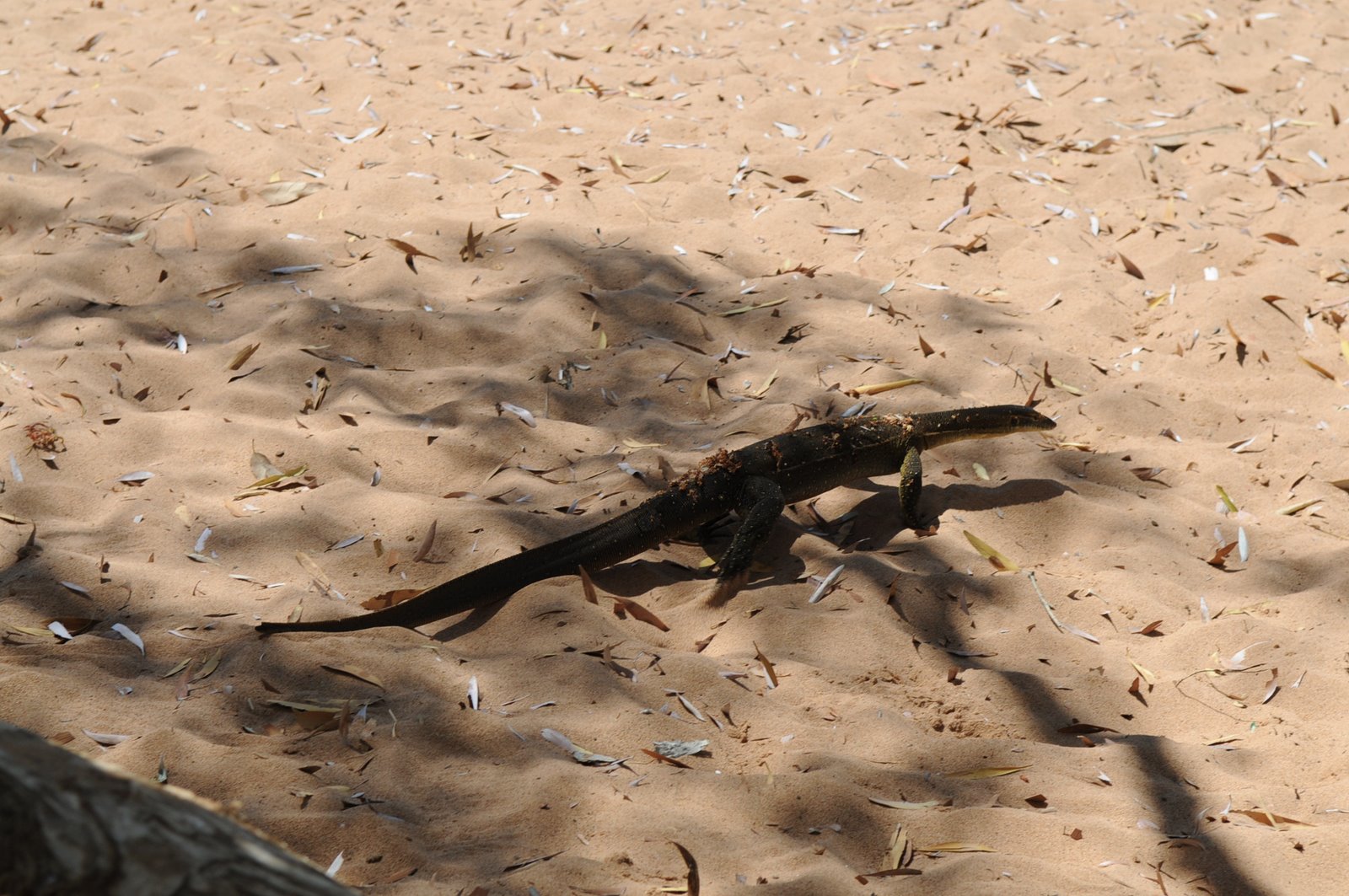
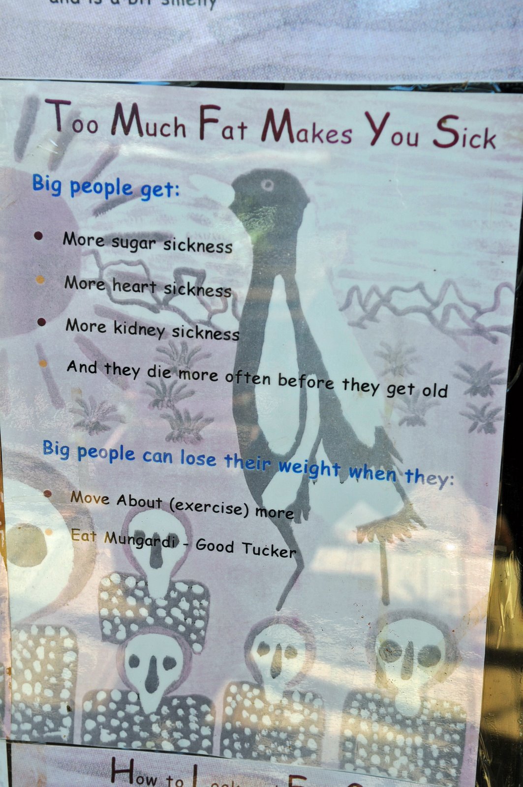
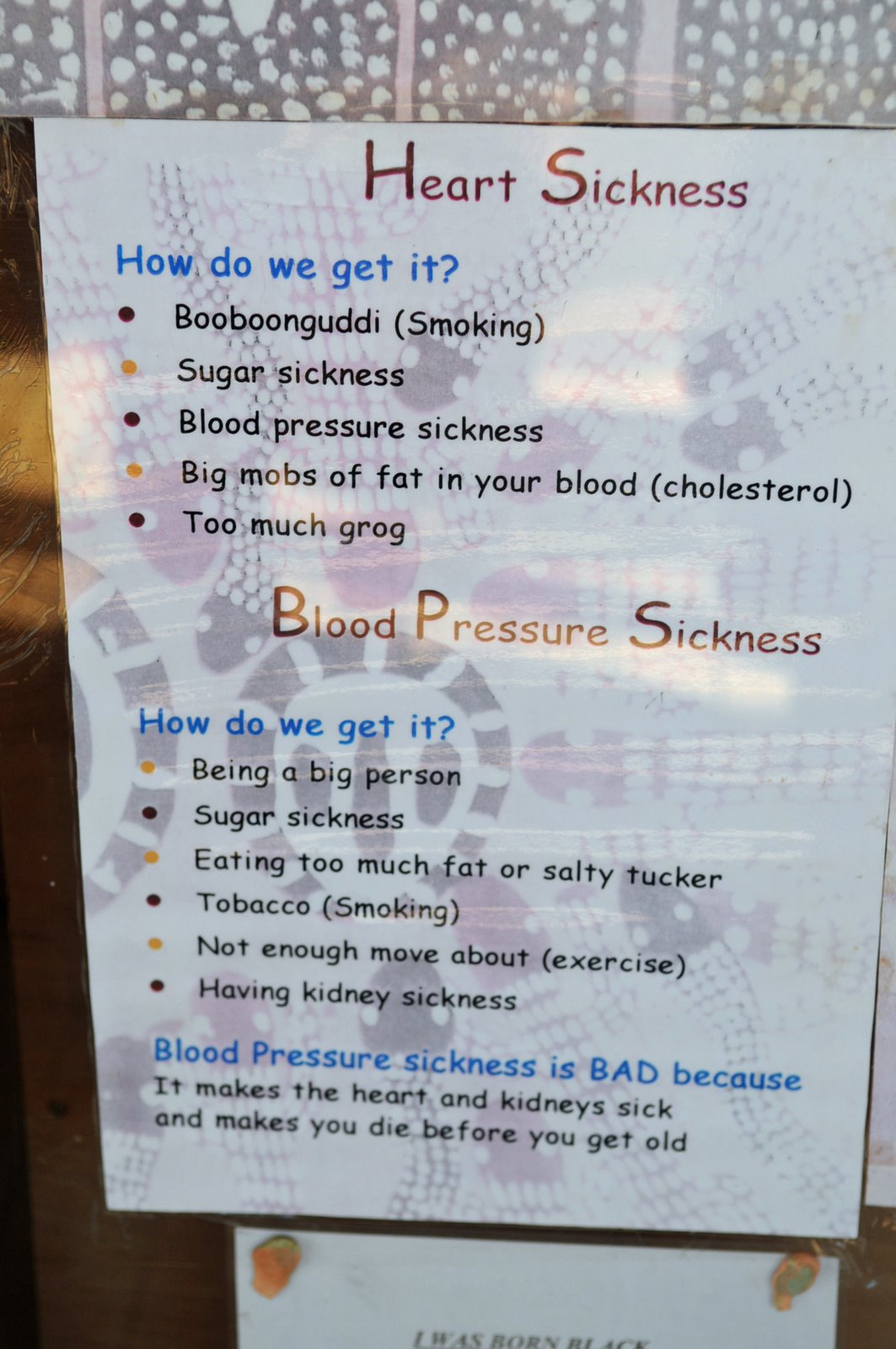
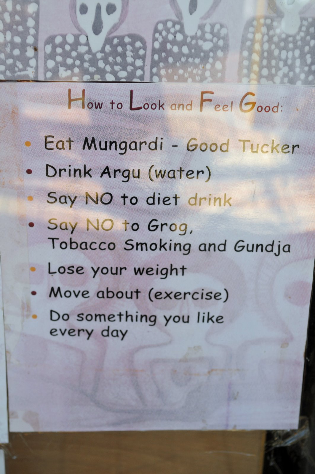
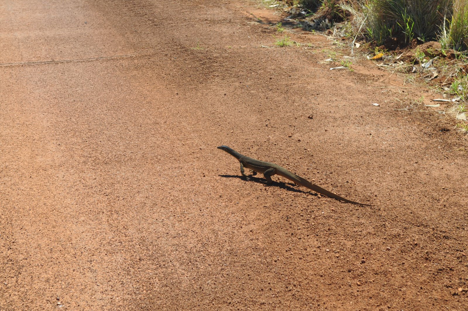
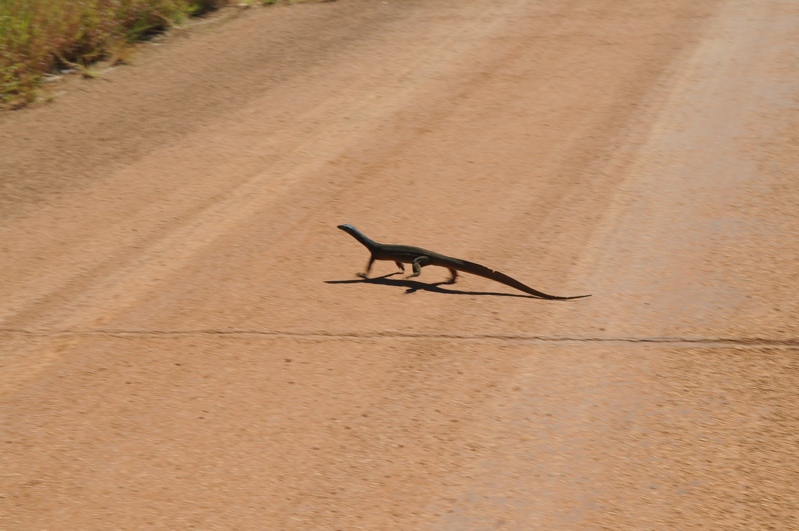
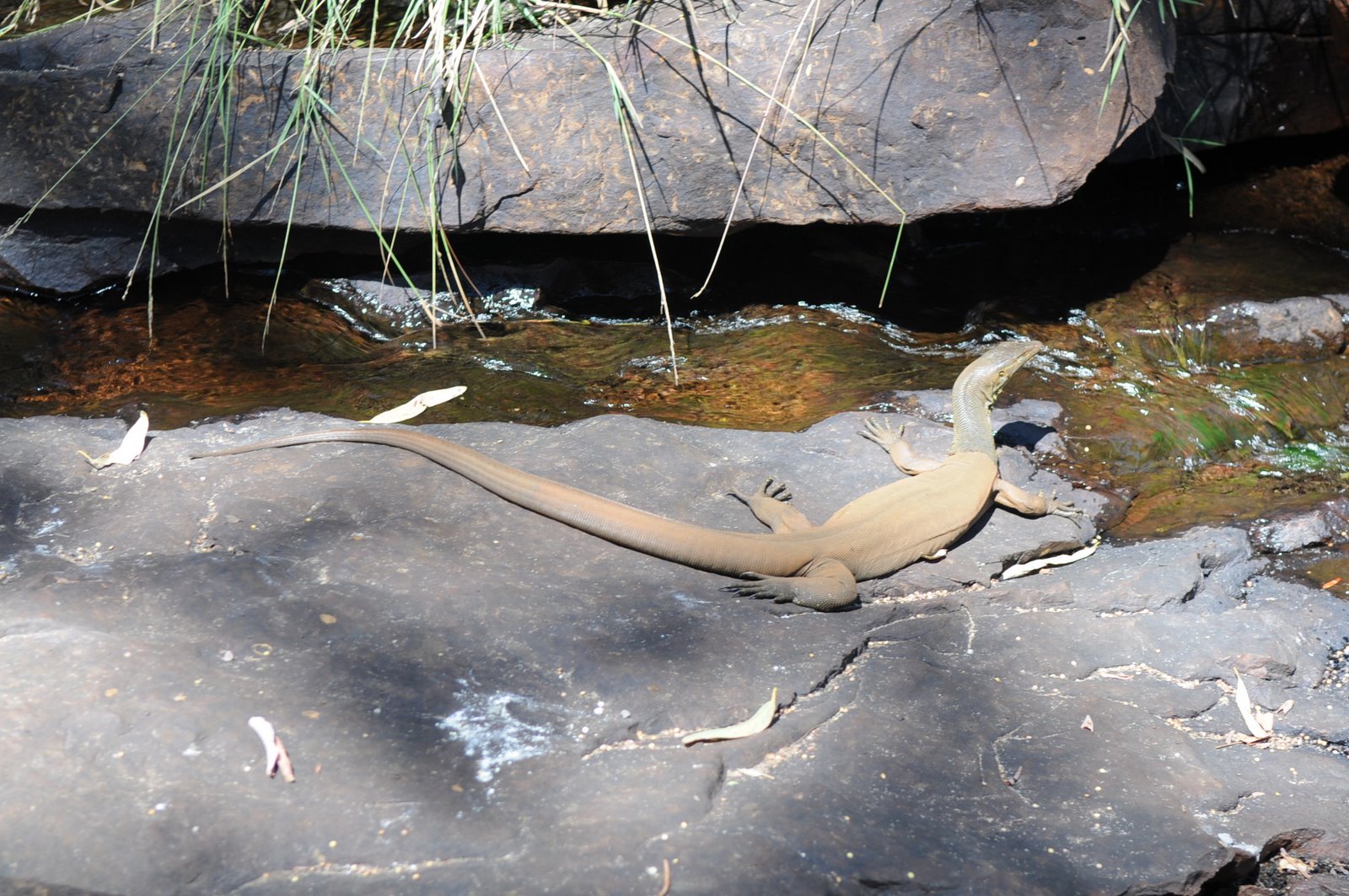
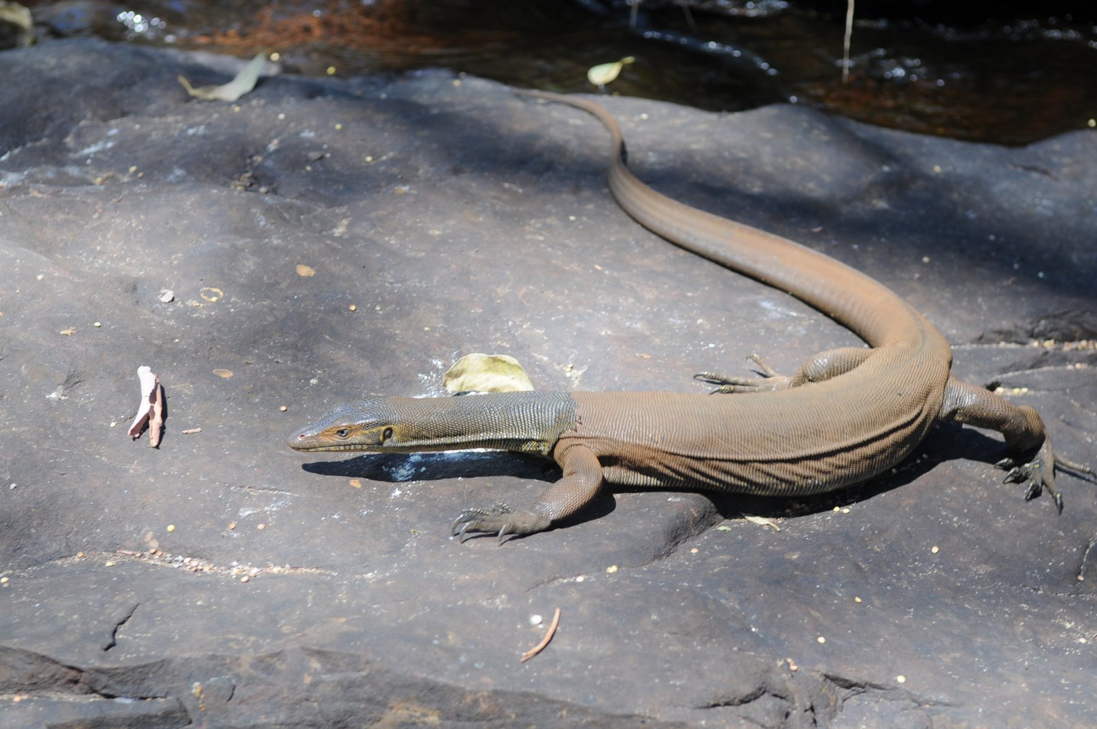
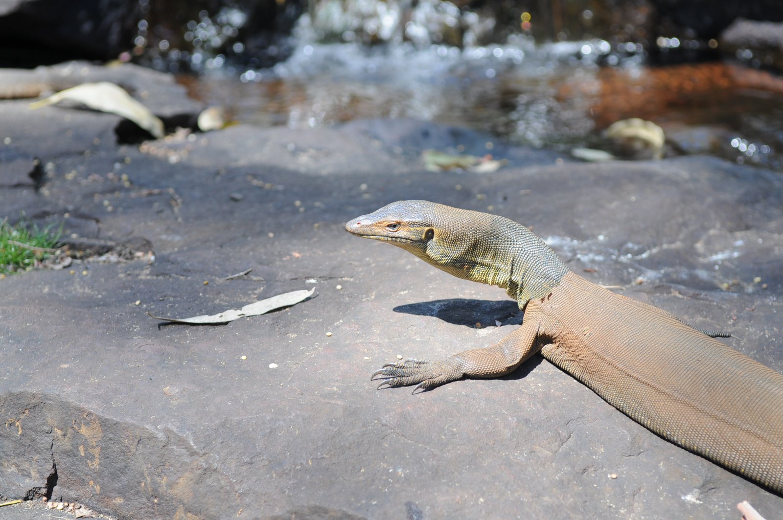
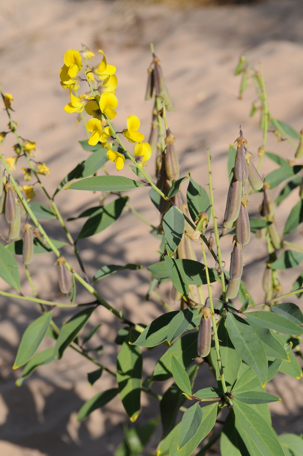
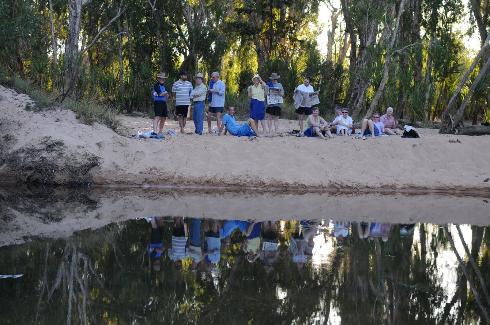
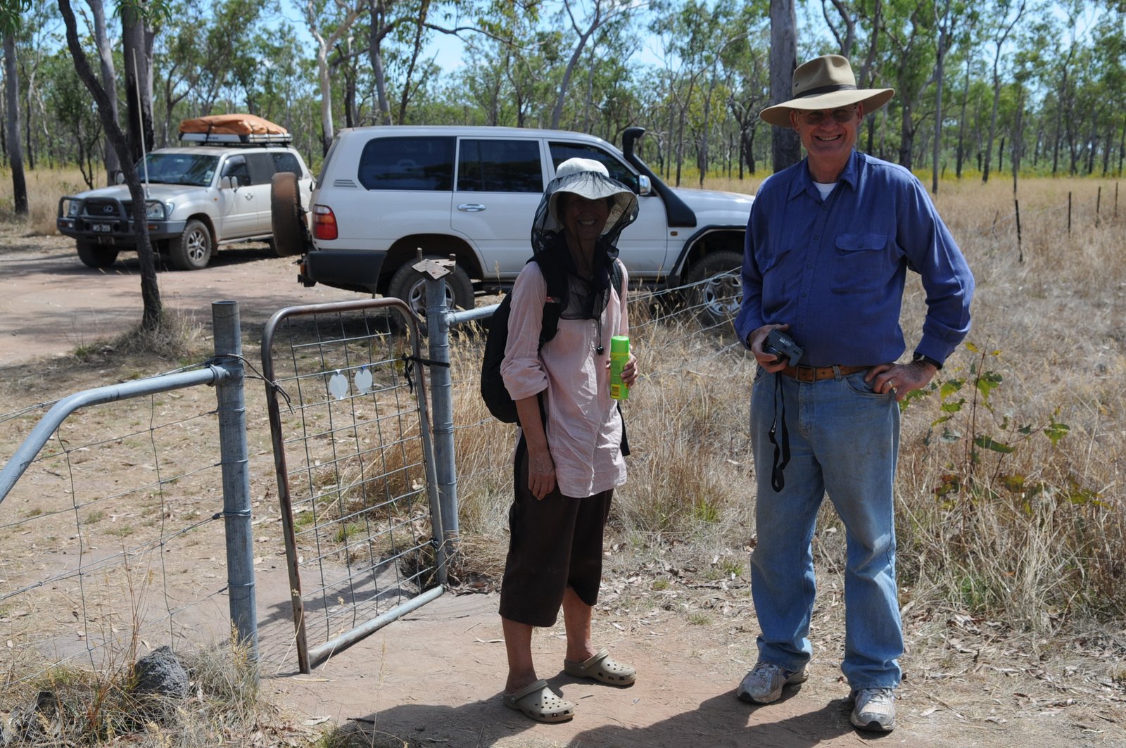
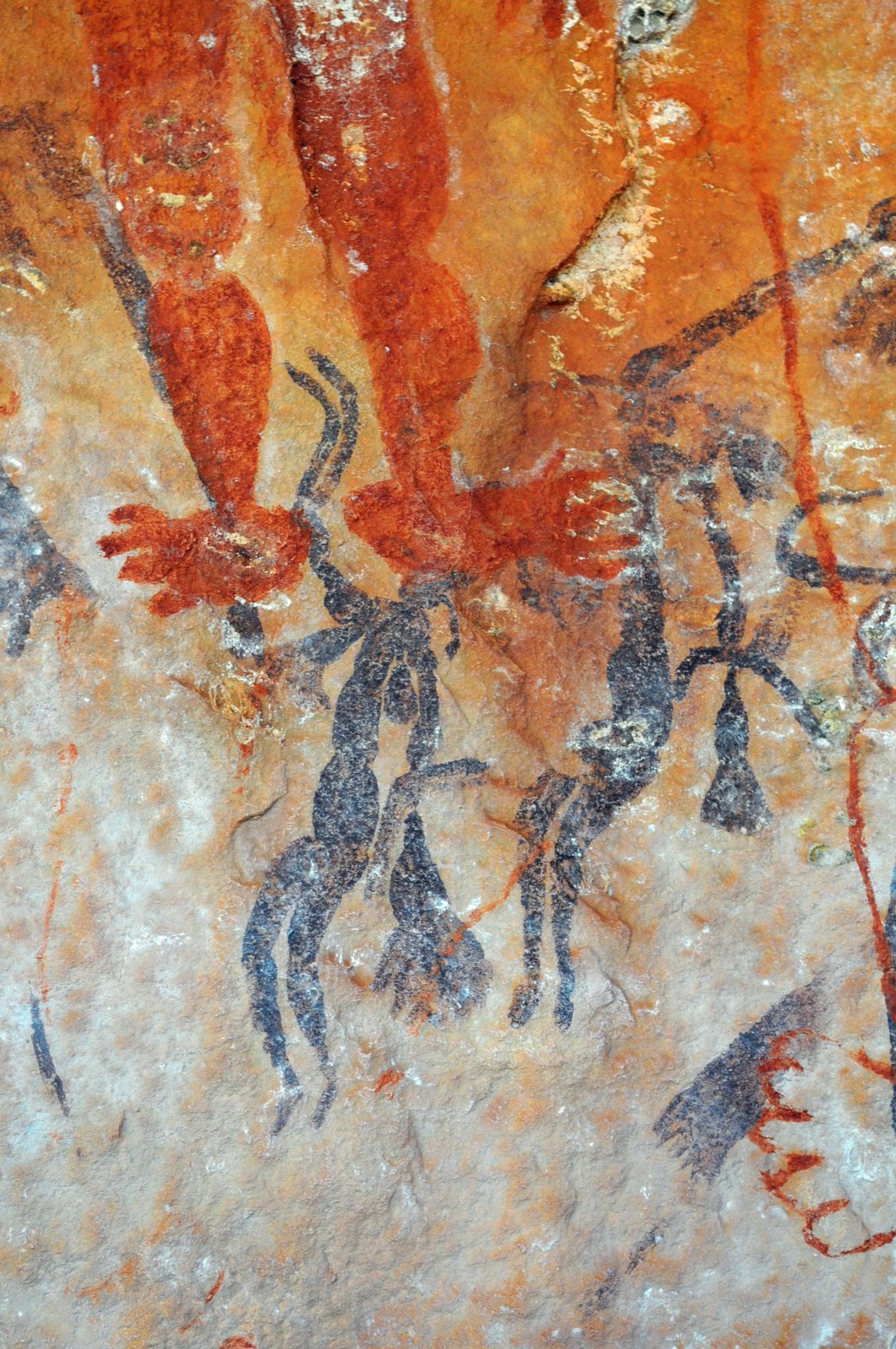
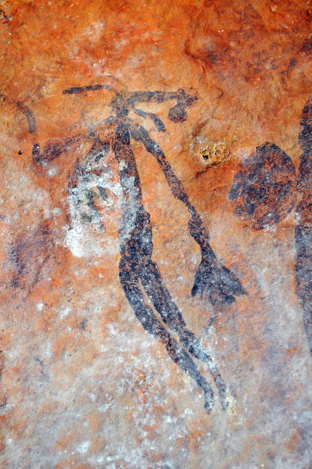
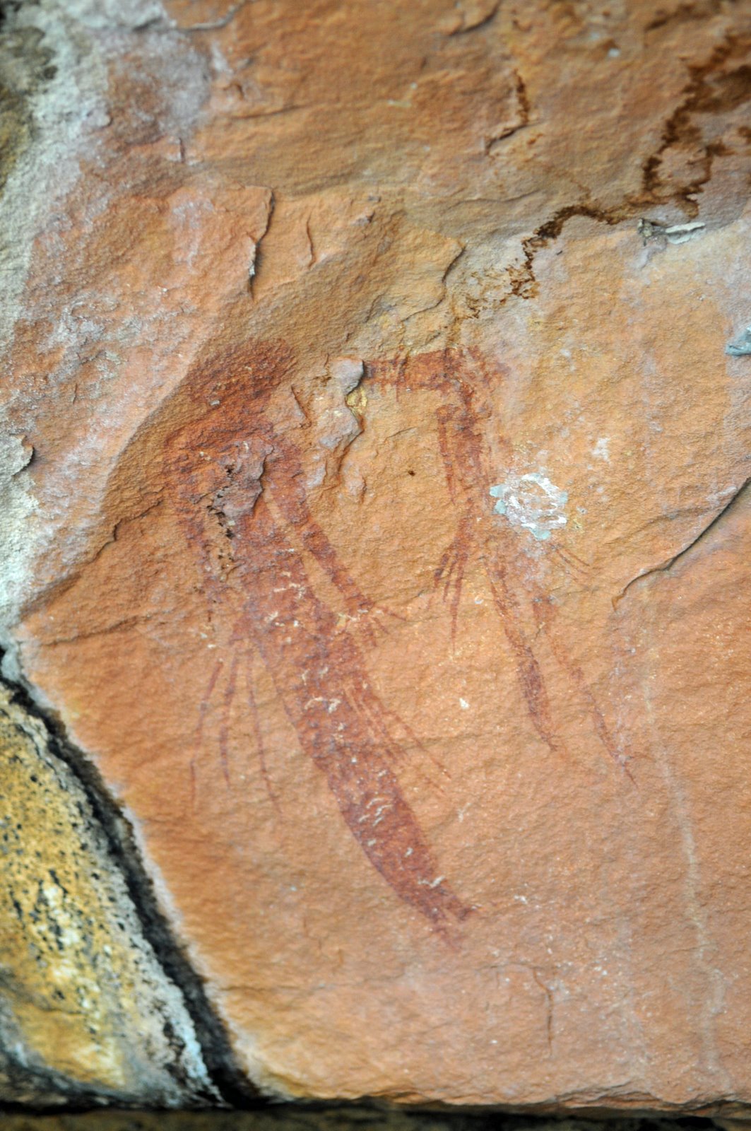
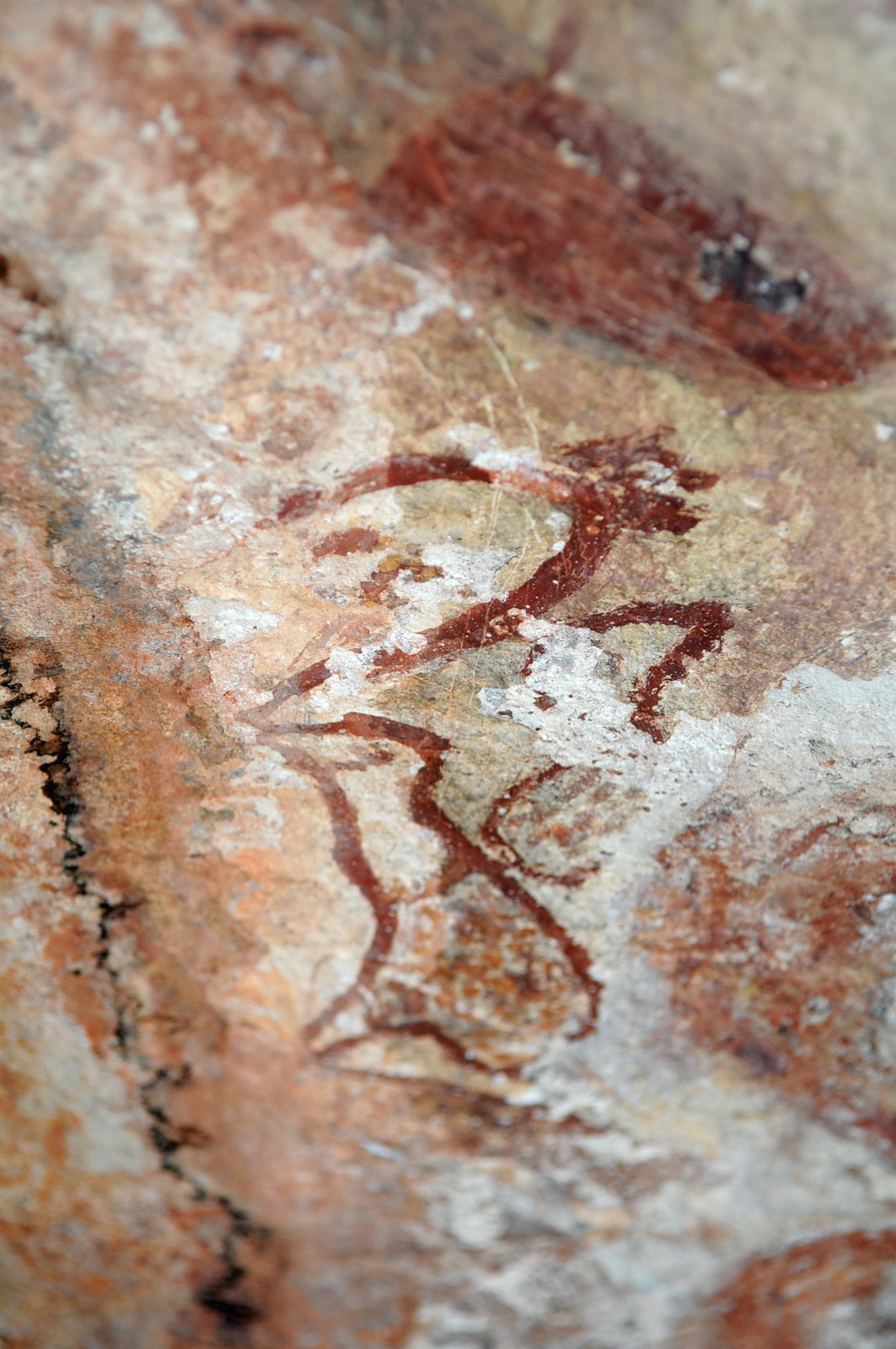
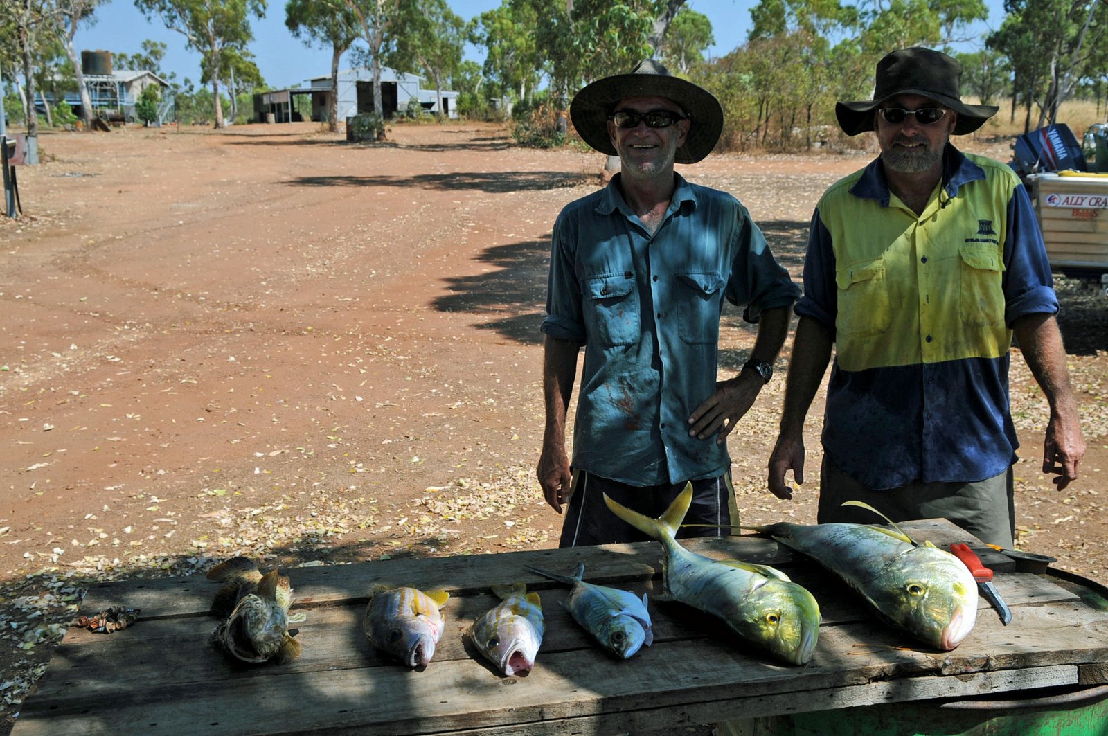
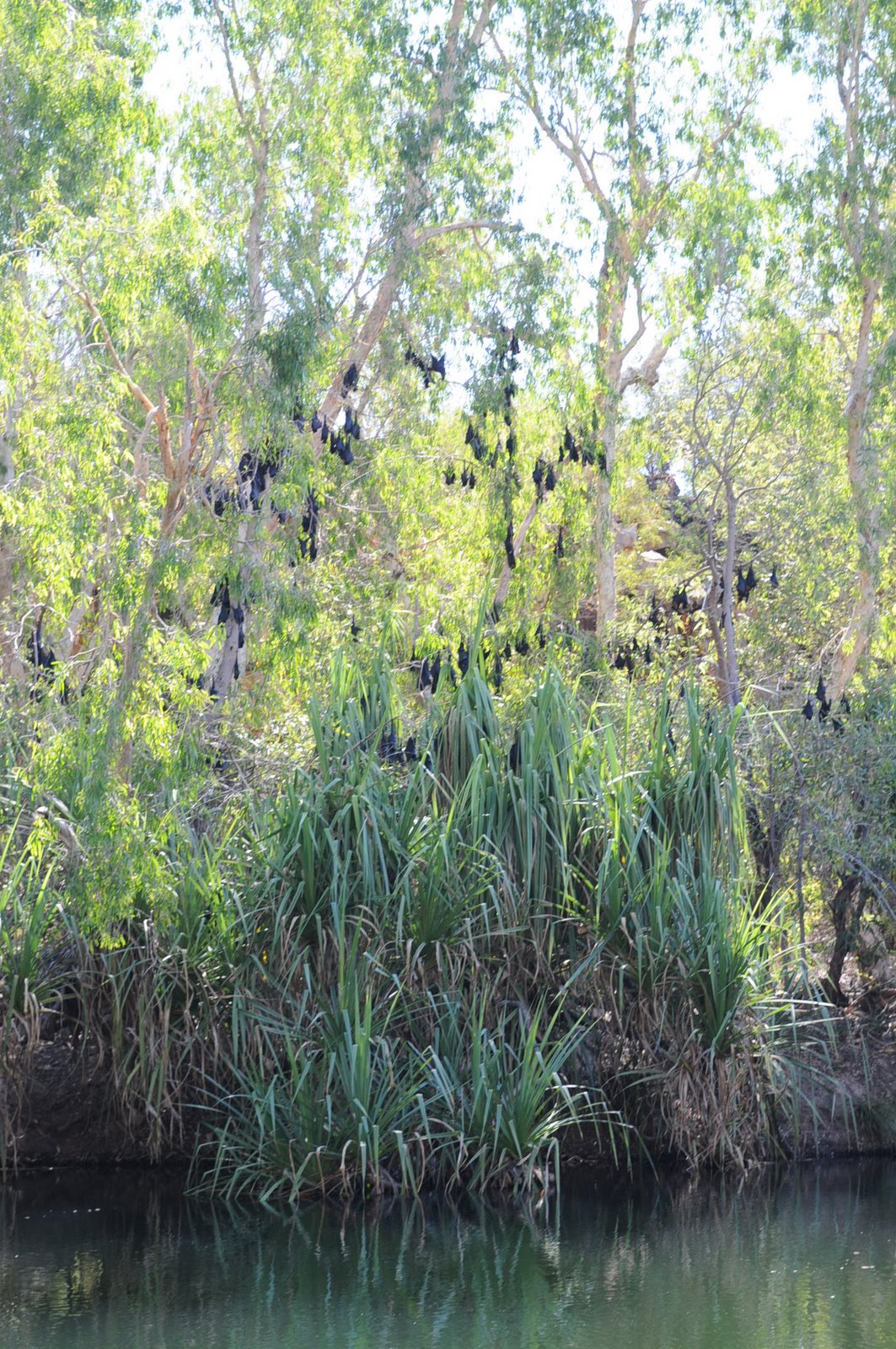
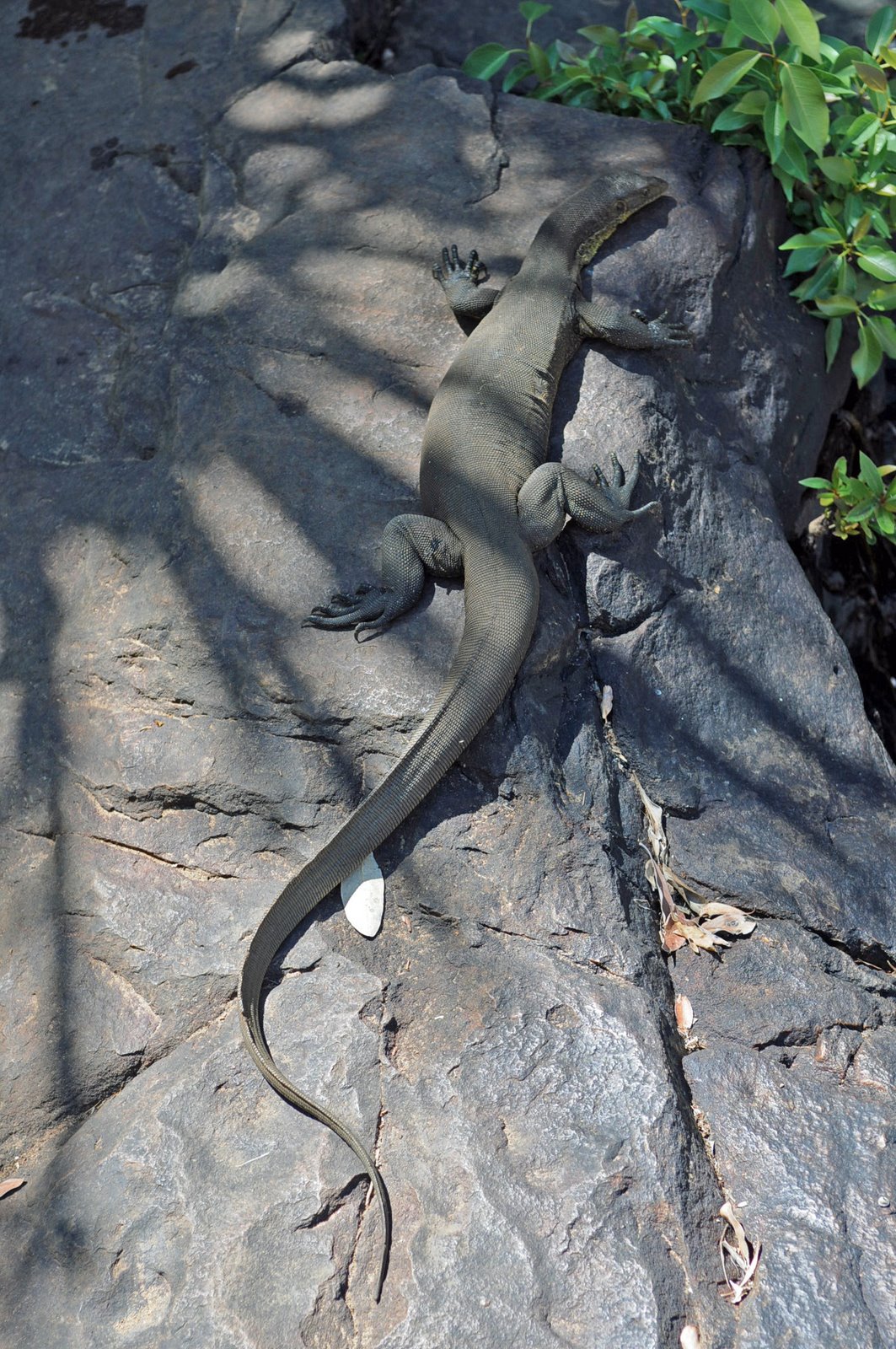
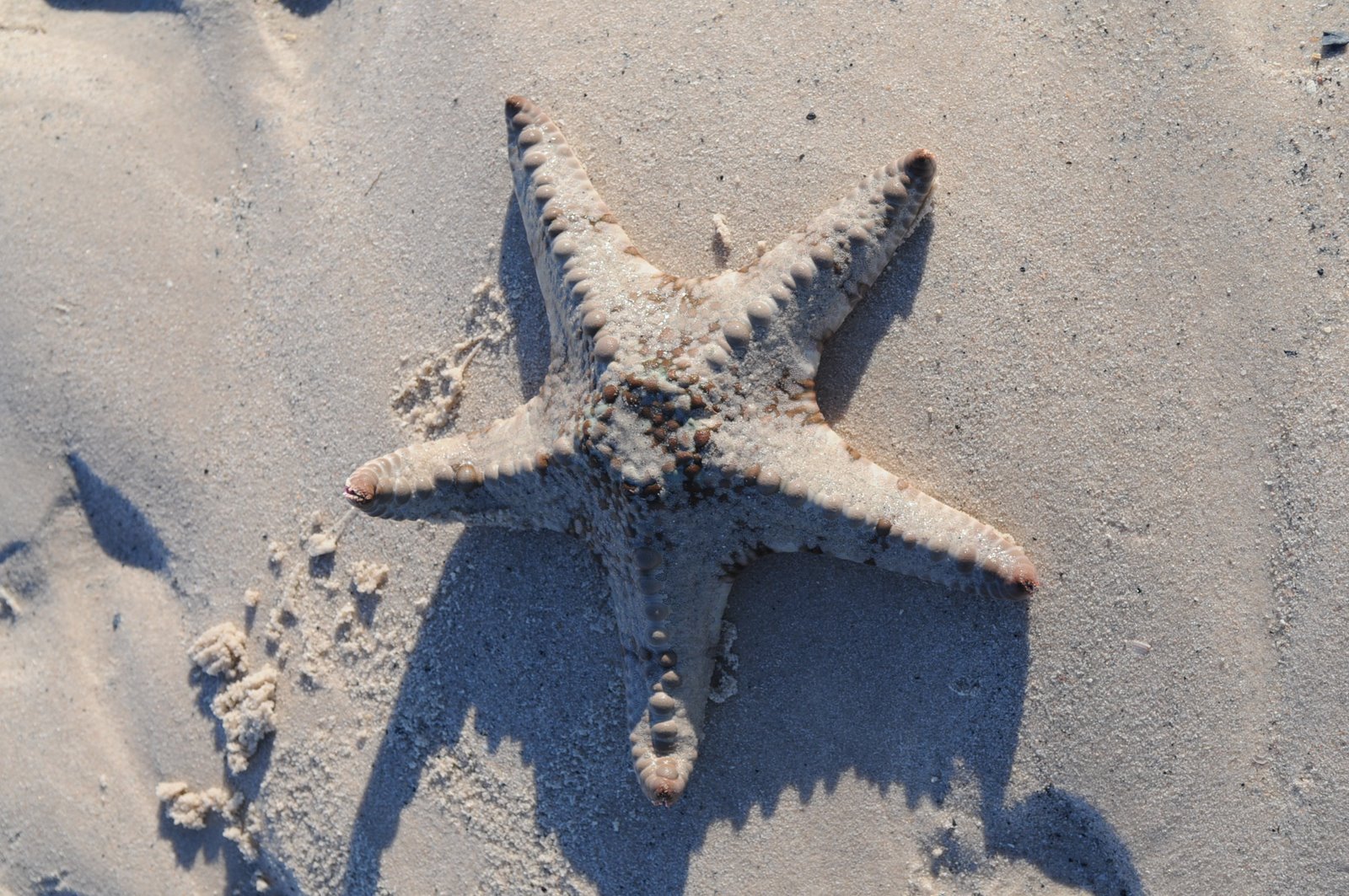
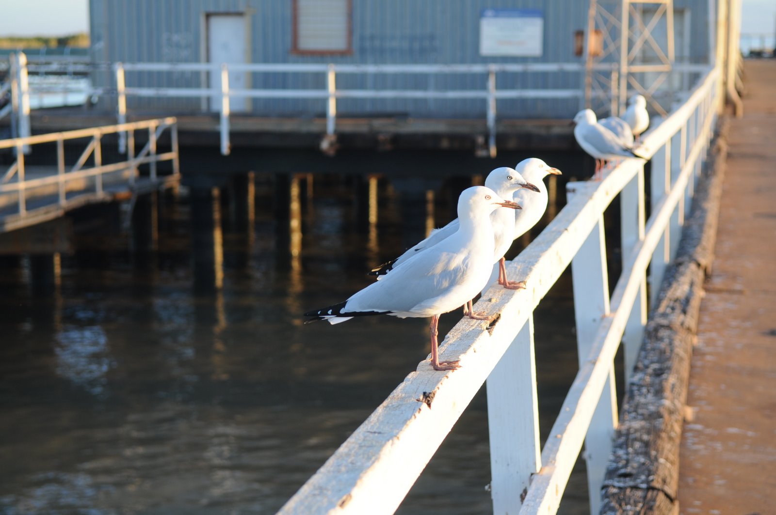
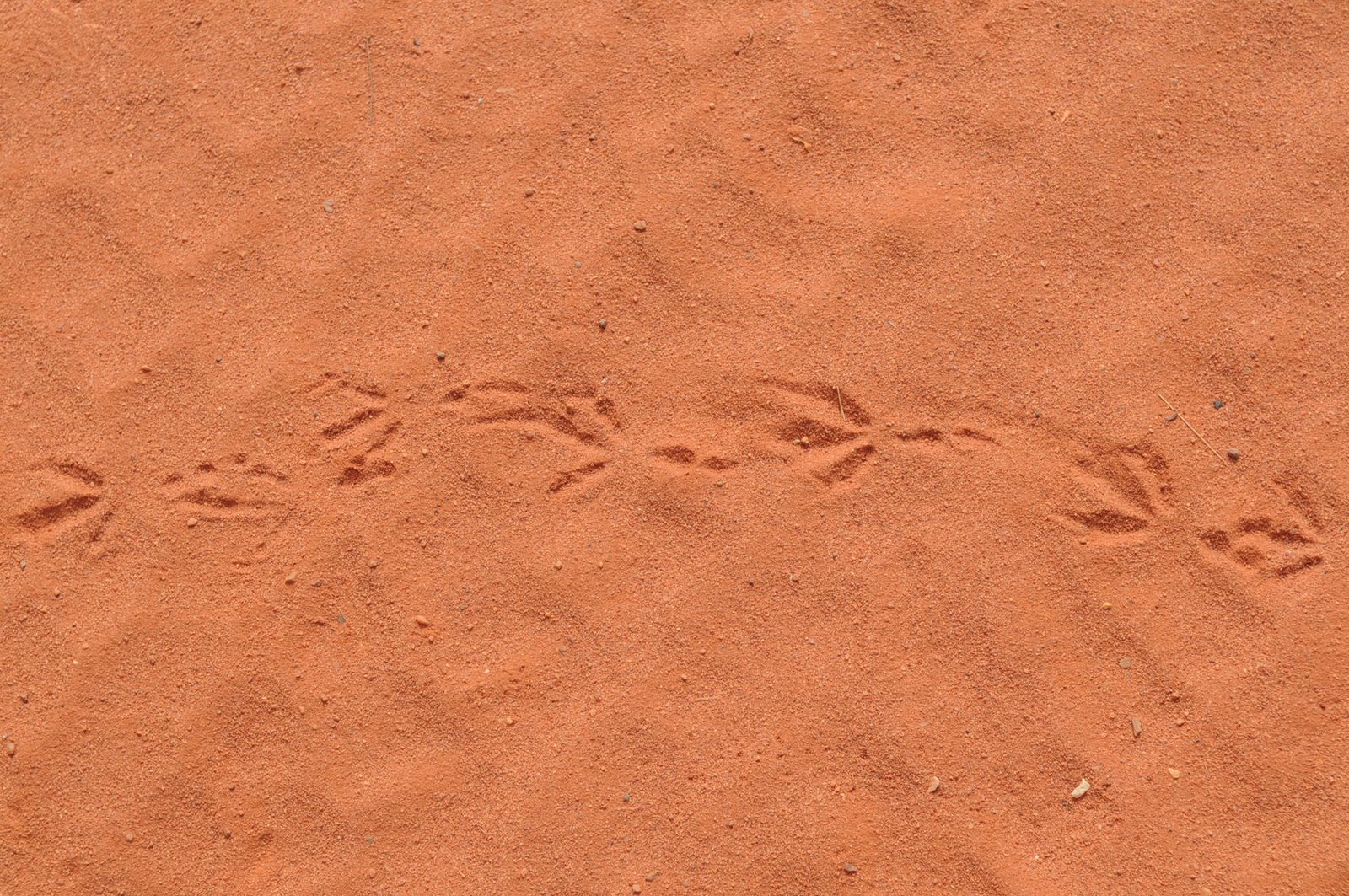
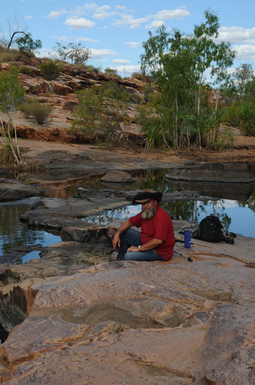
While we were at Mornington many volunteers came in for a 4-5 day finch survey. We managed to see a Crimson Finch and a Long tailed finch as well. We also saw lots of water monitors and lizards, the usual birds and a bustard.
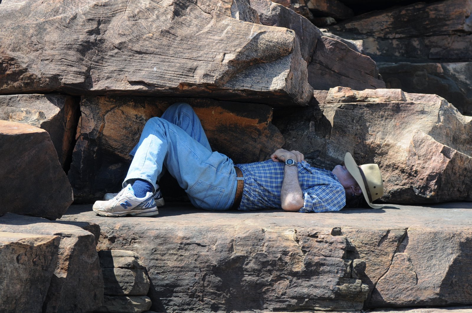
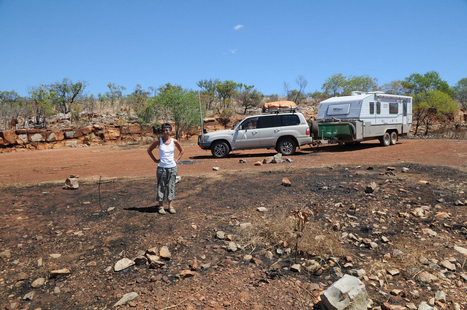
Mike’s birthday and even though I didn’t have a present for him, we had a great birthday day. Lots of people left messages on his phone which of course we could only clear once we got to Derby.
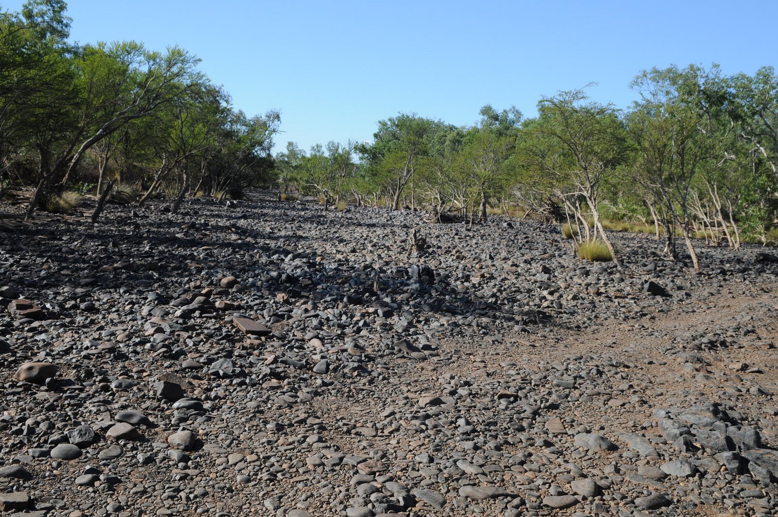
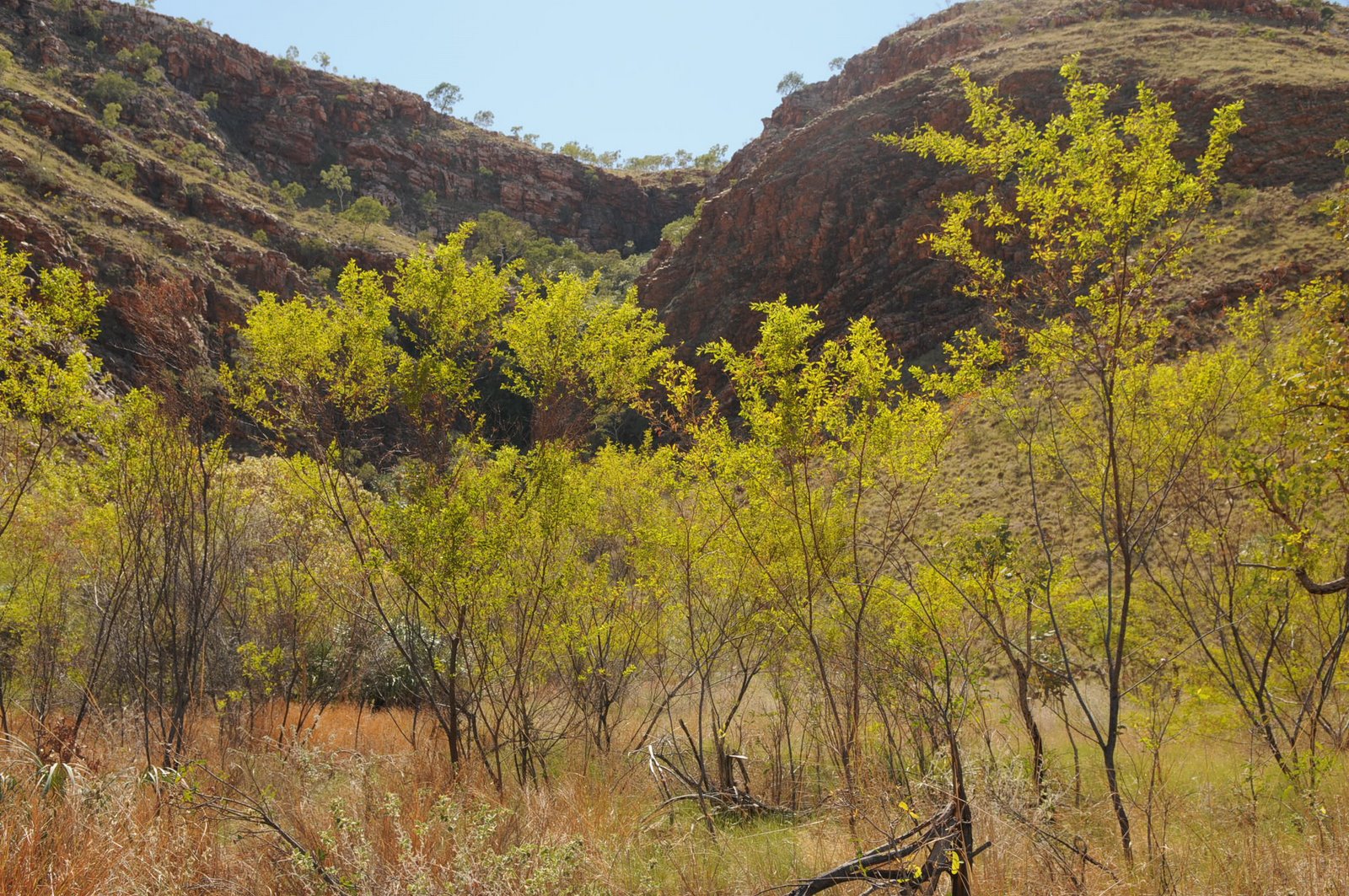
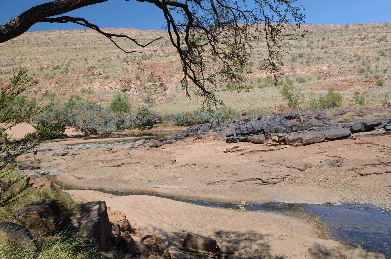
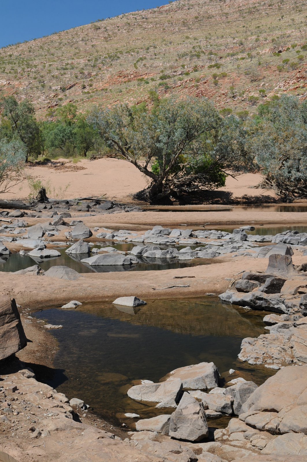
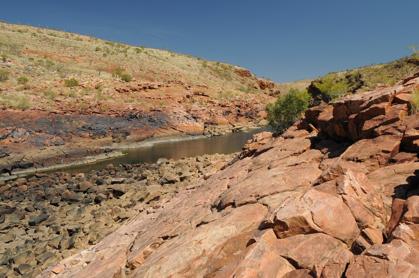
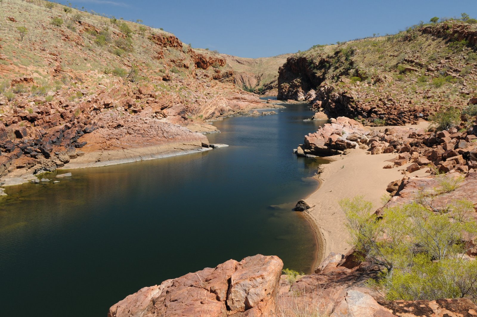
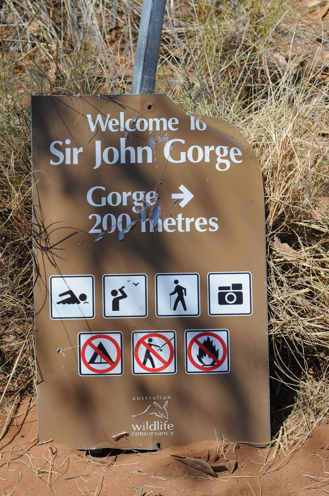
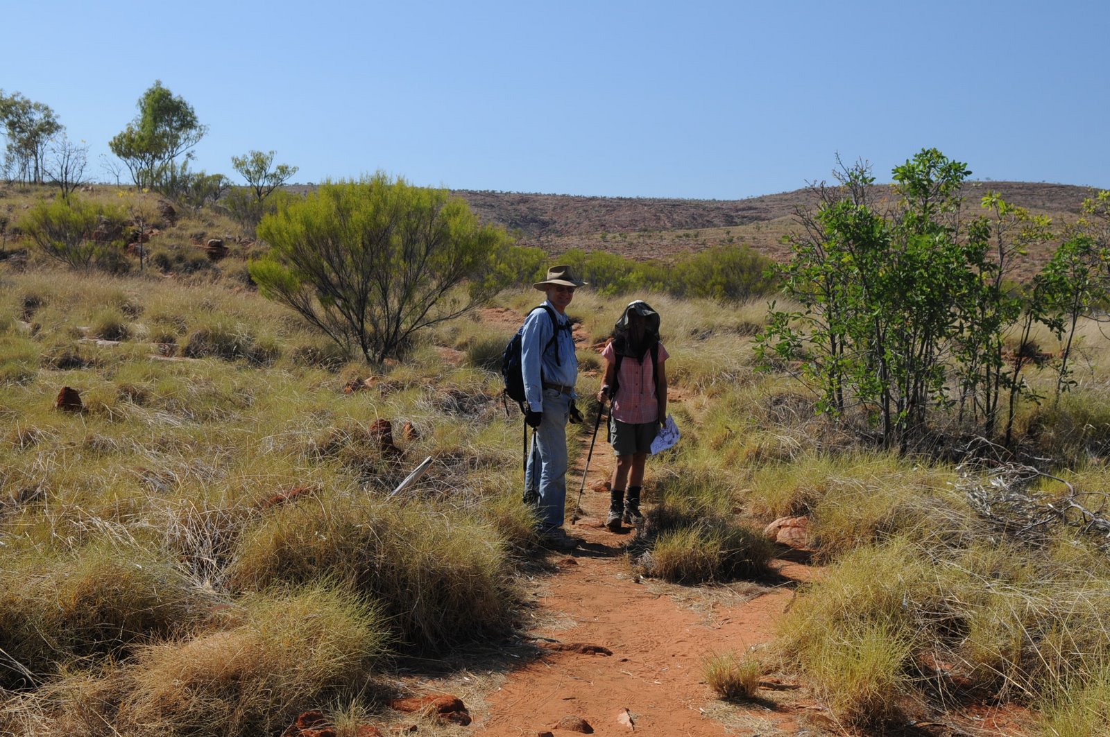
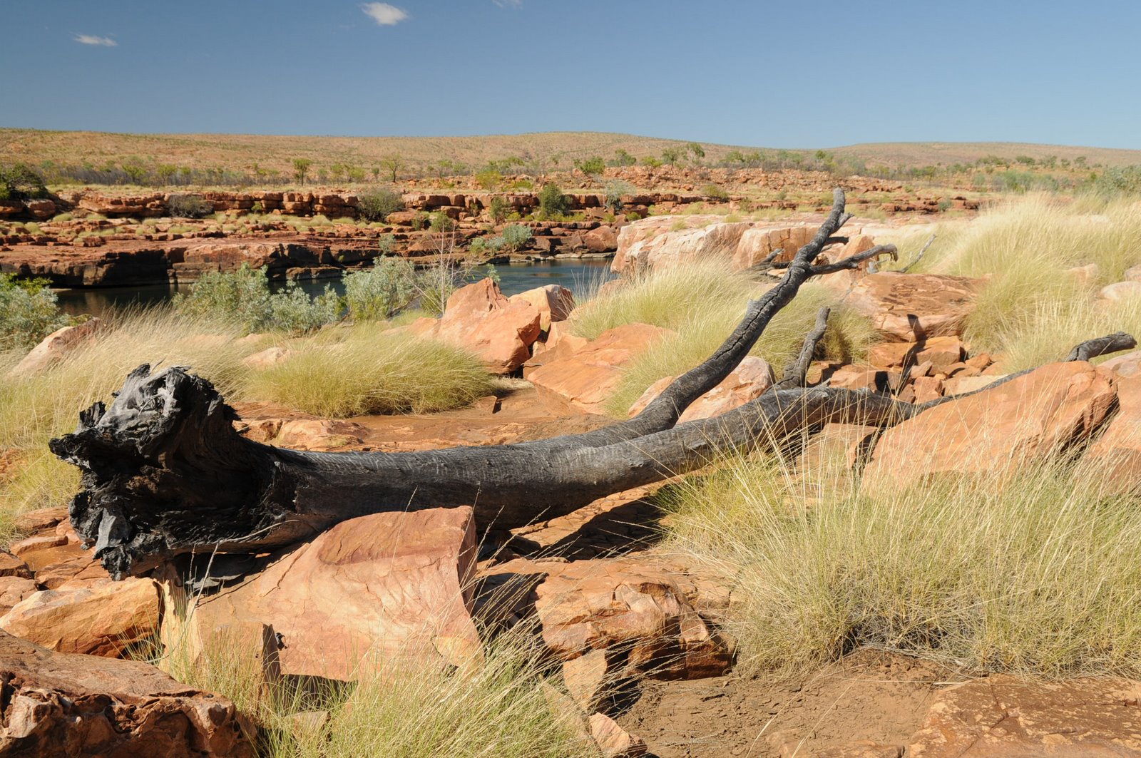
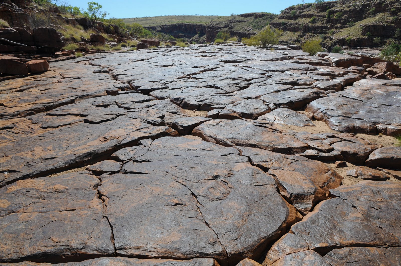
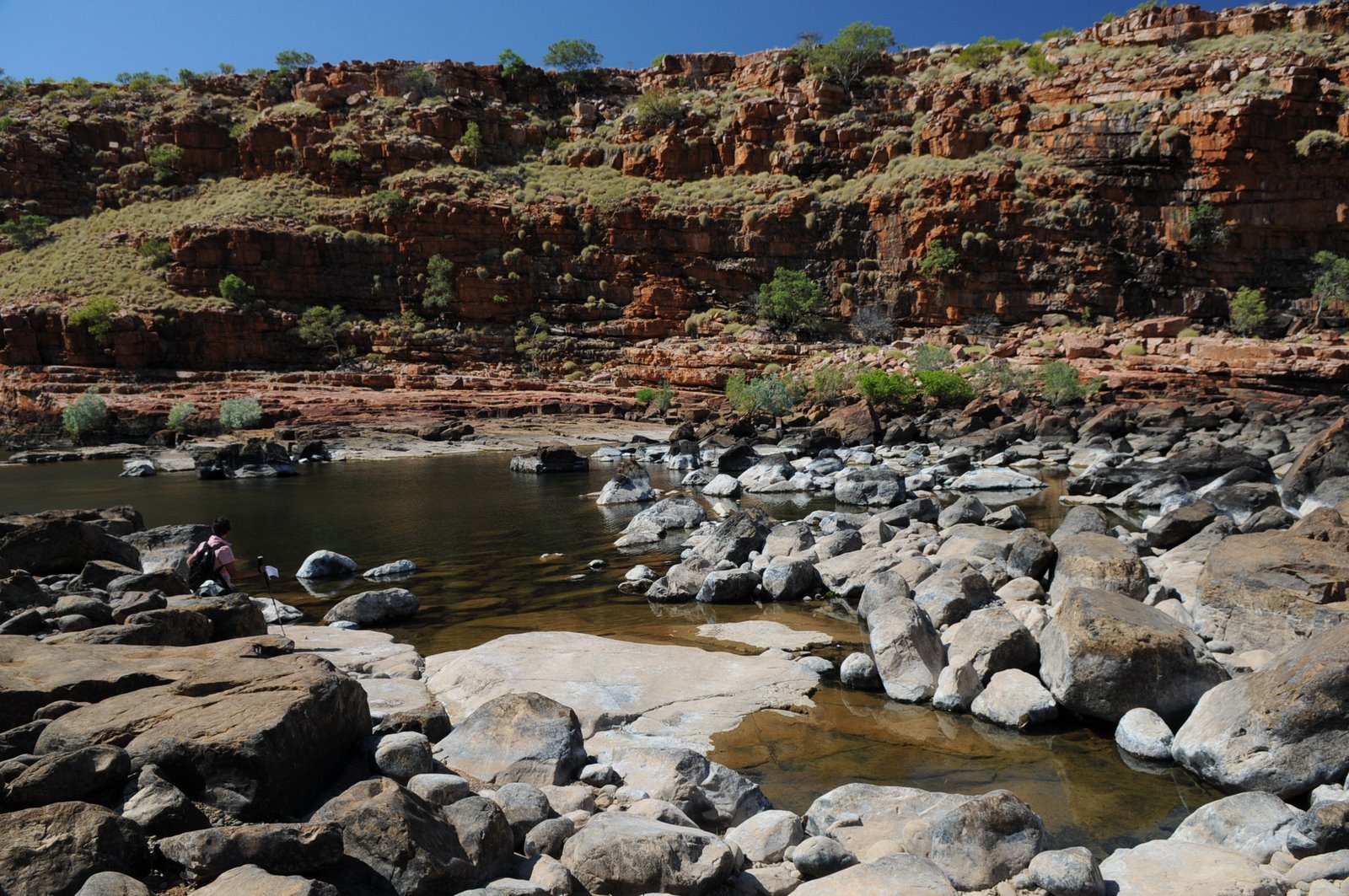
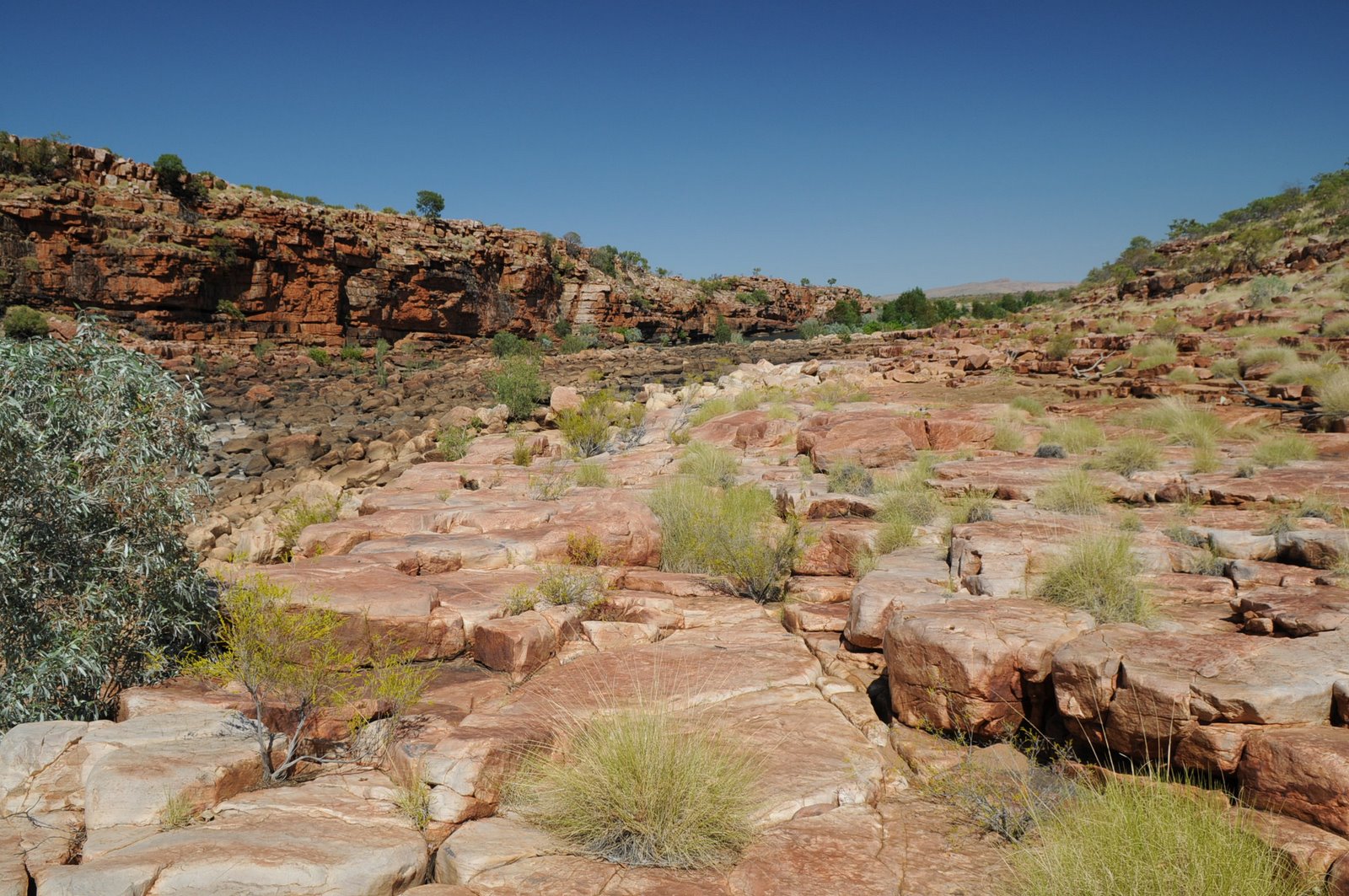
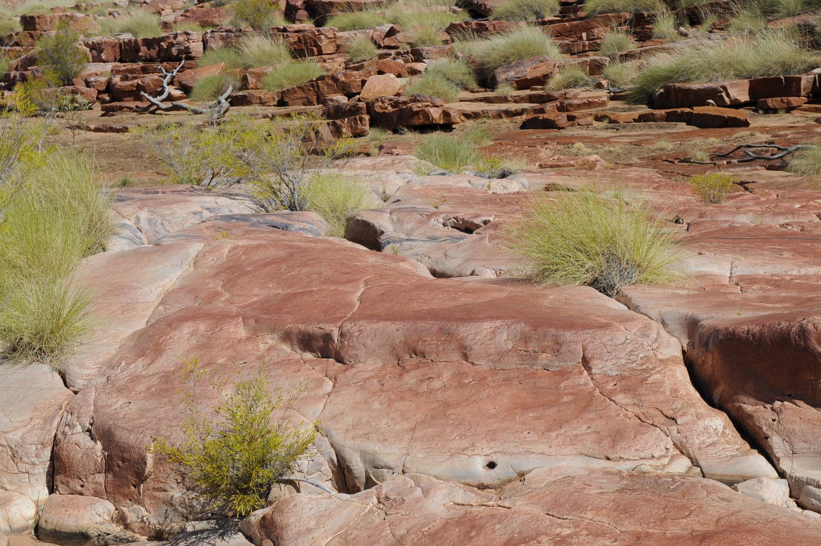
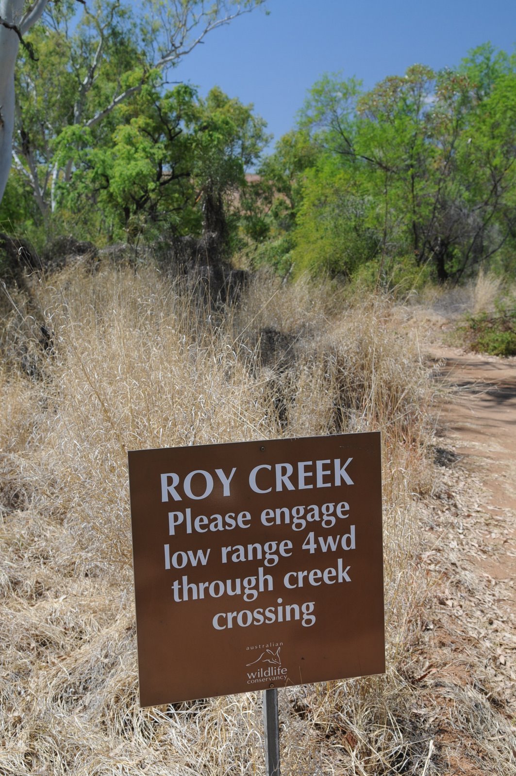
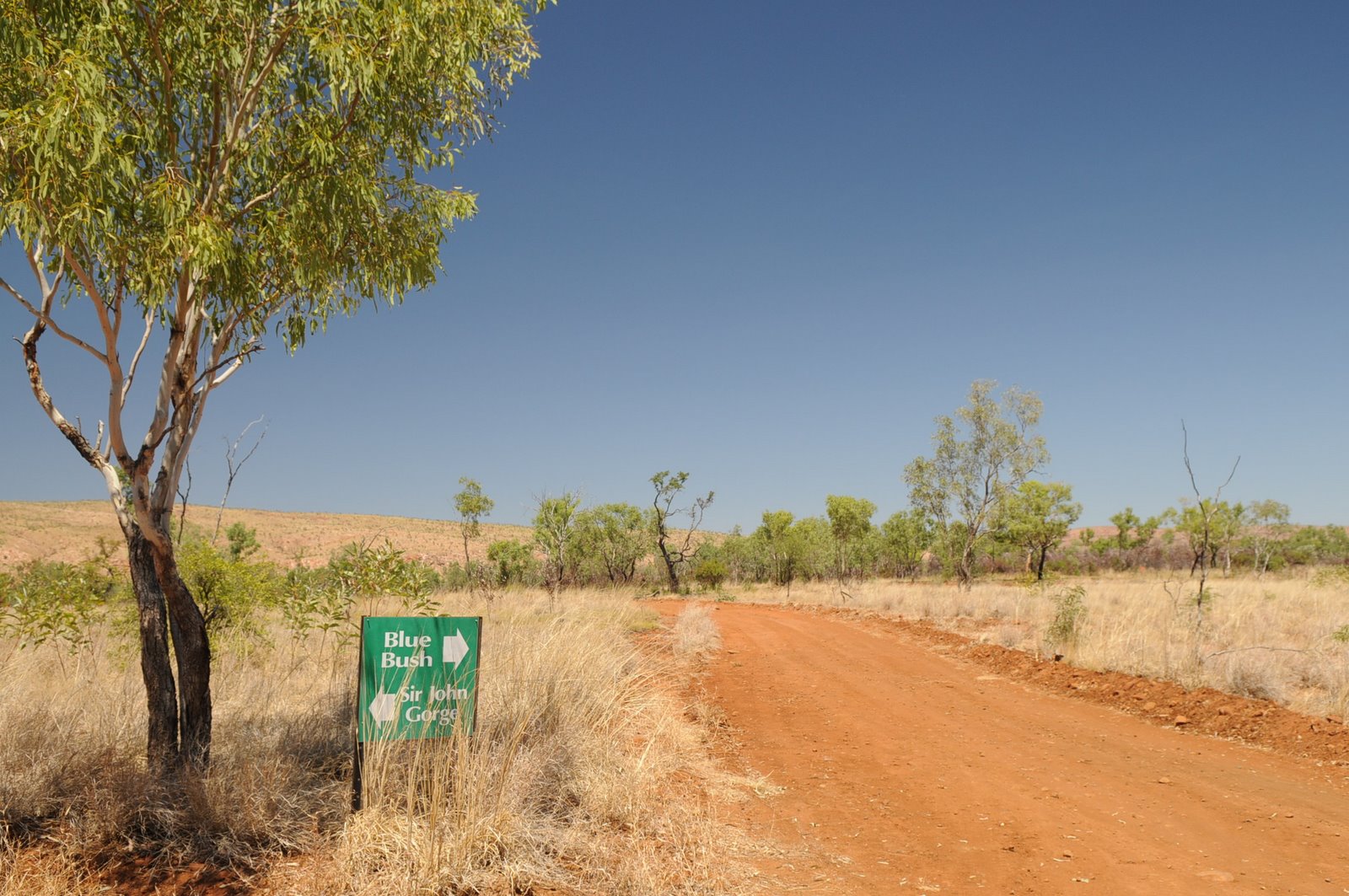
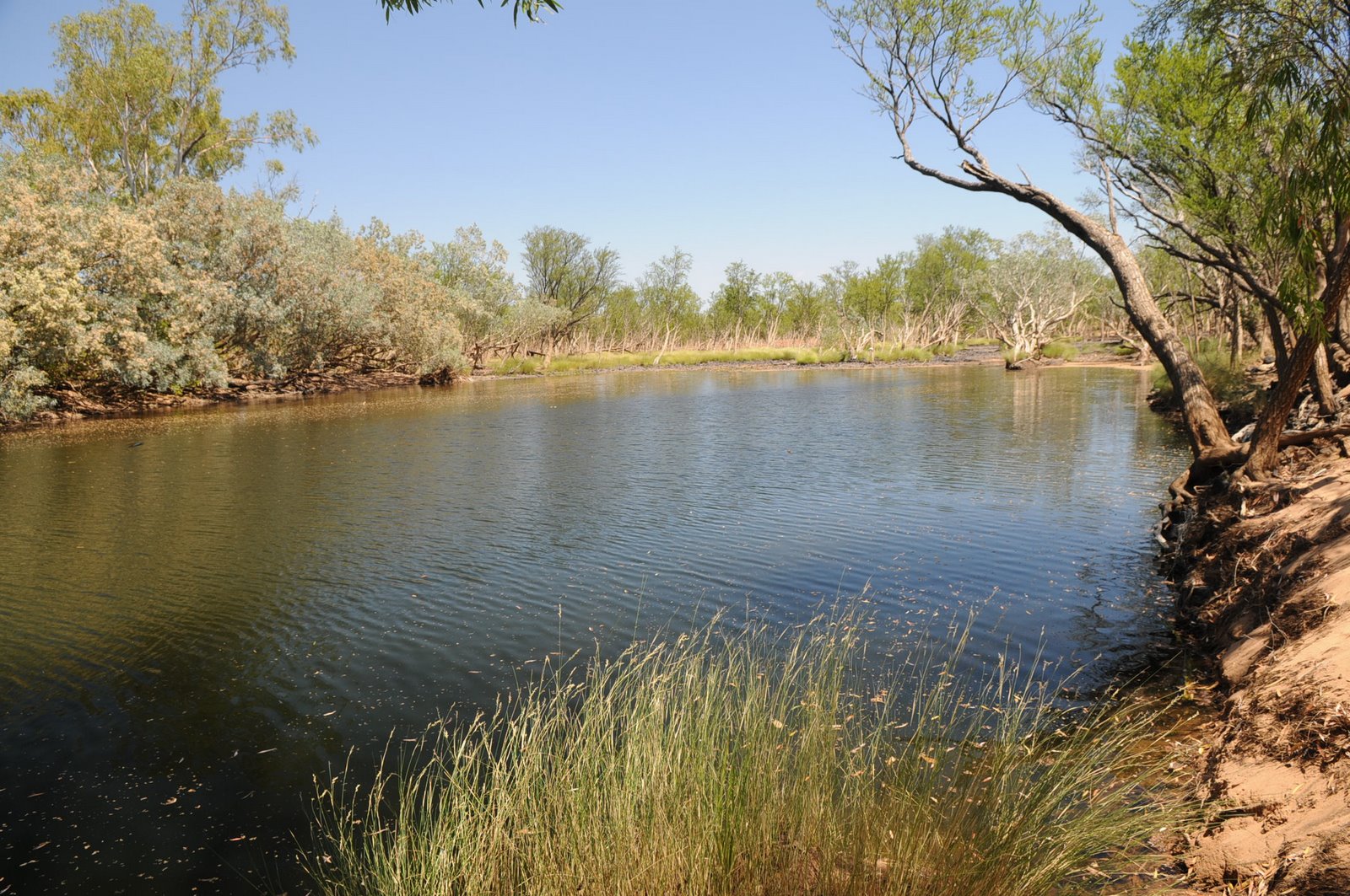
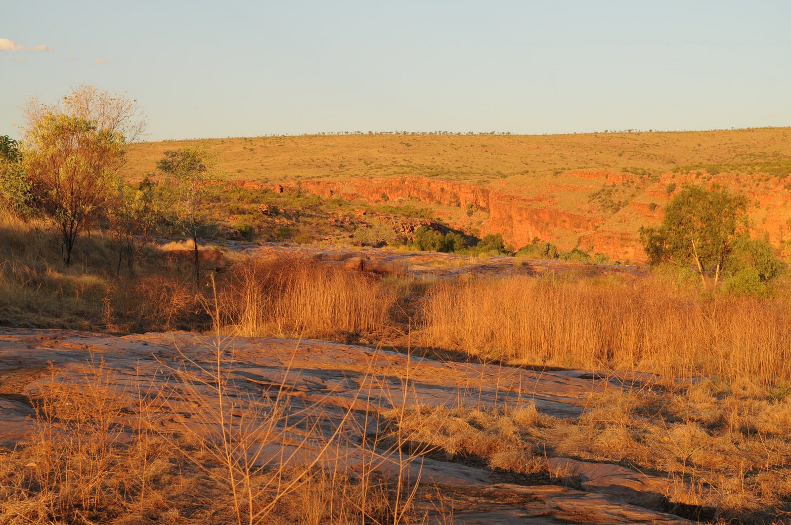
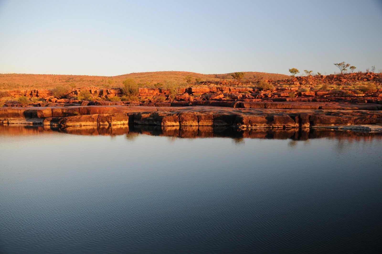
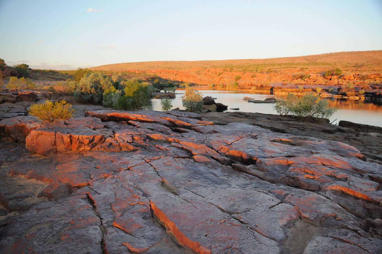
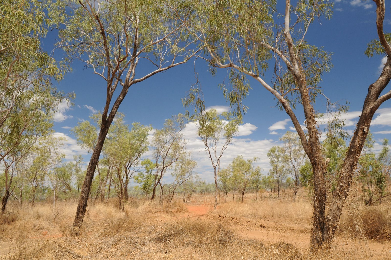
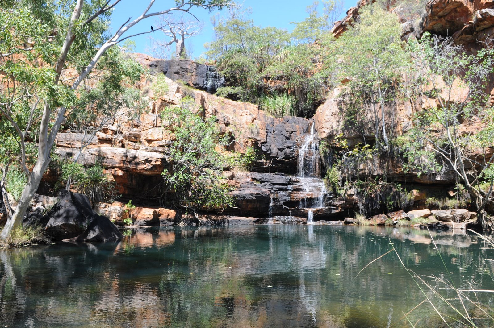
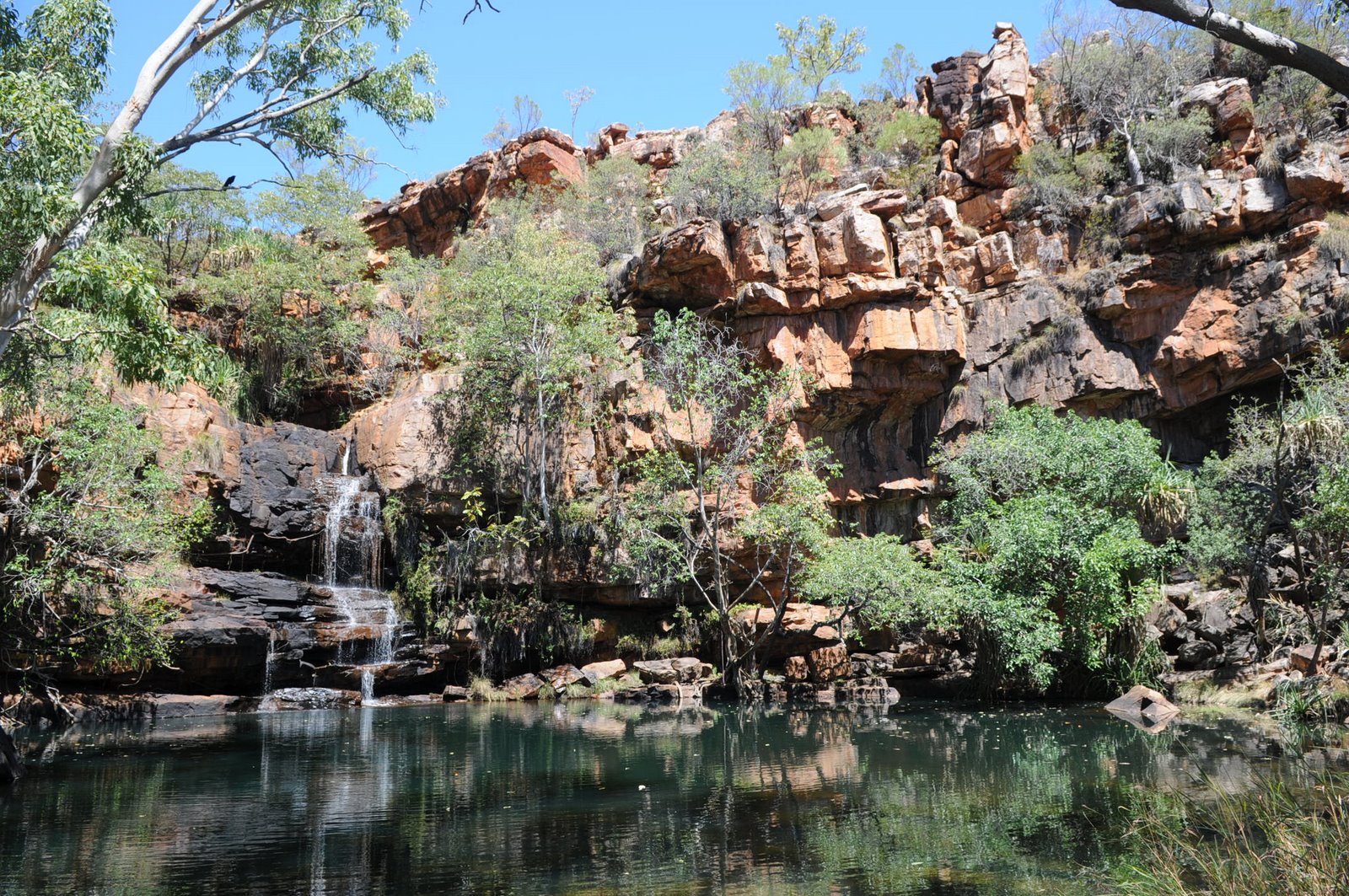
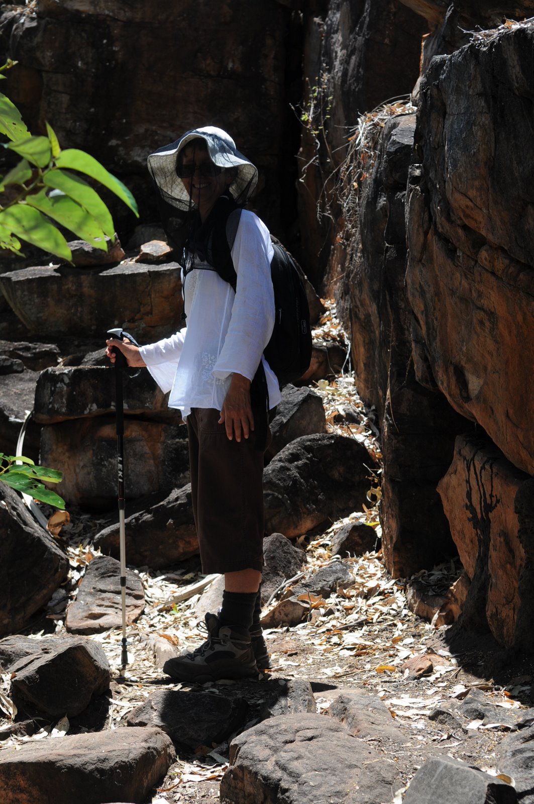
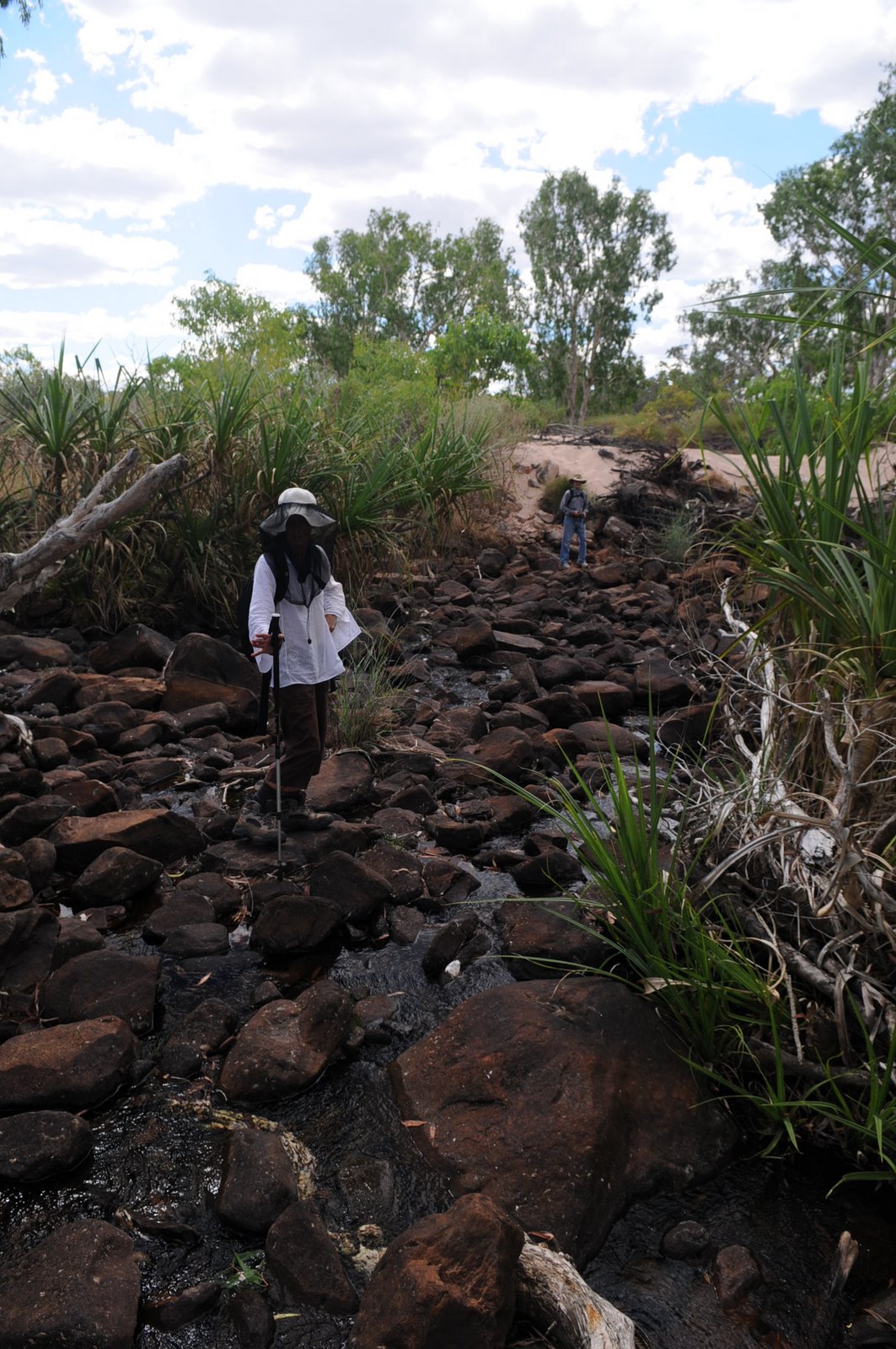
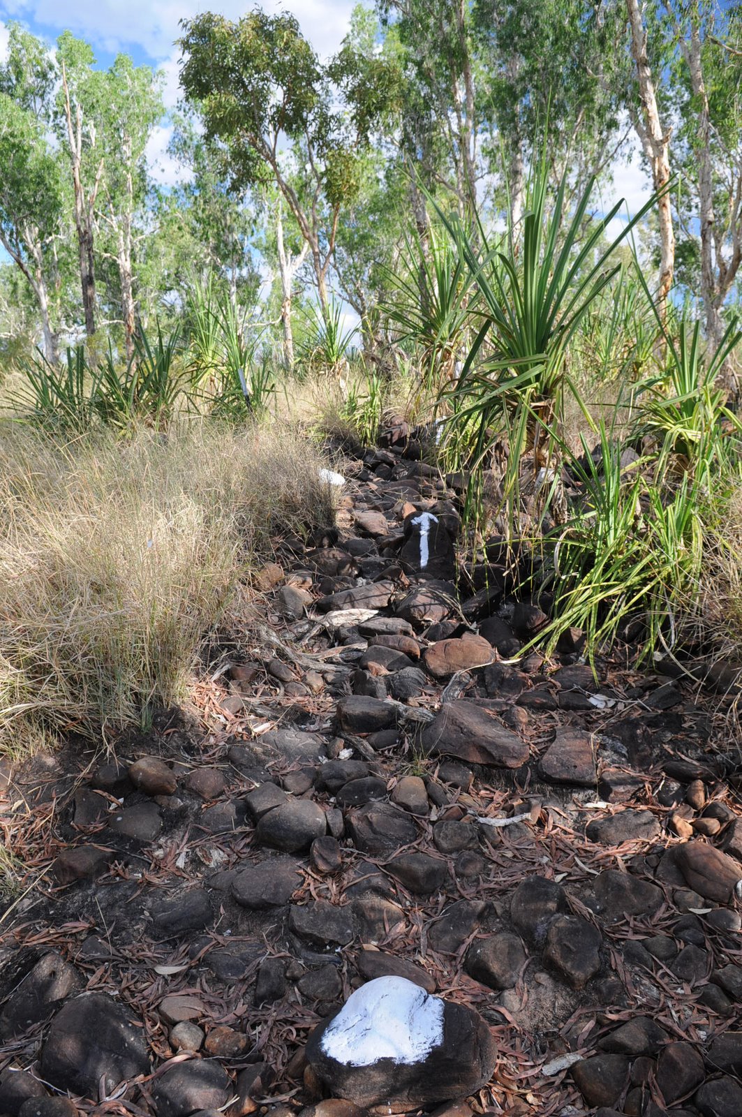
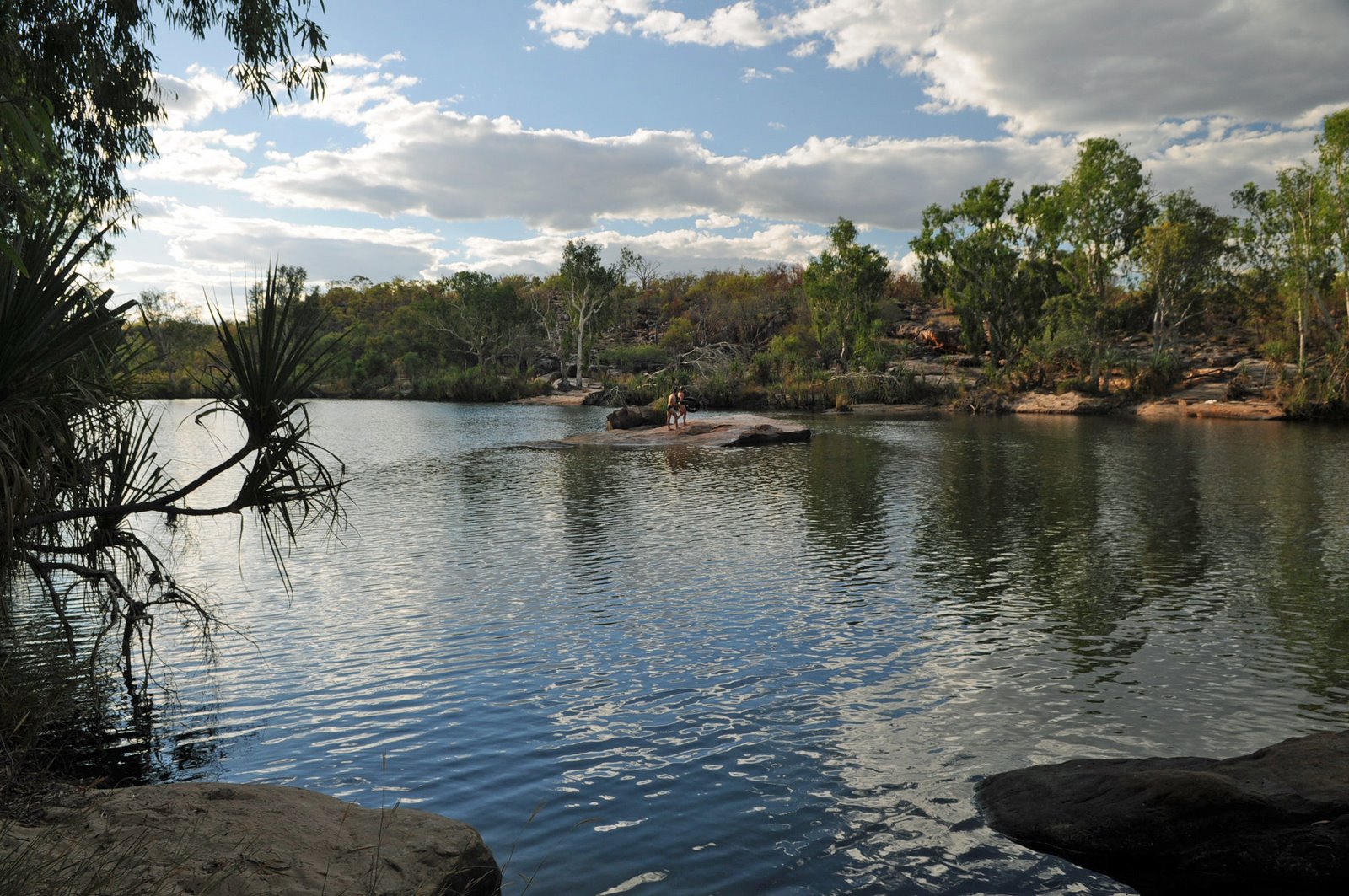
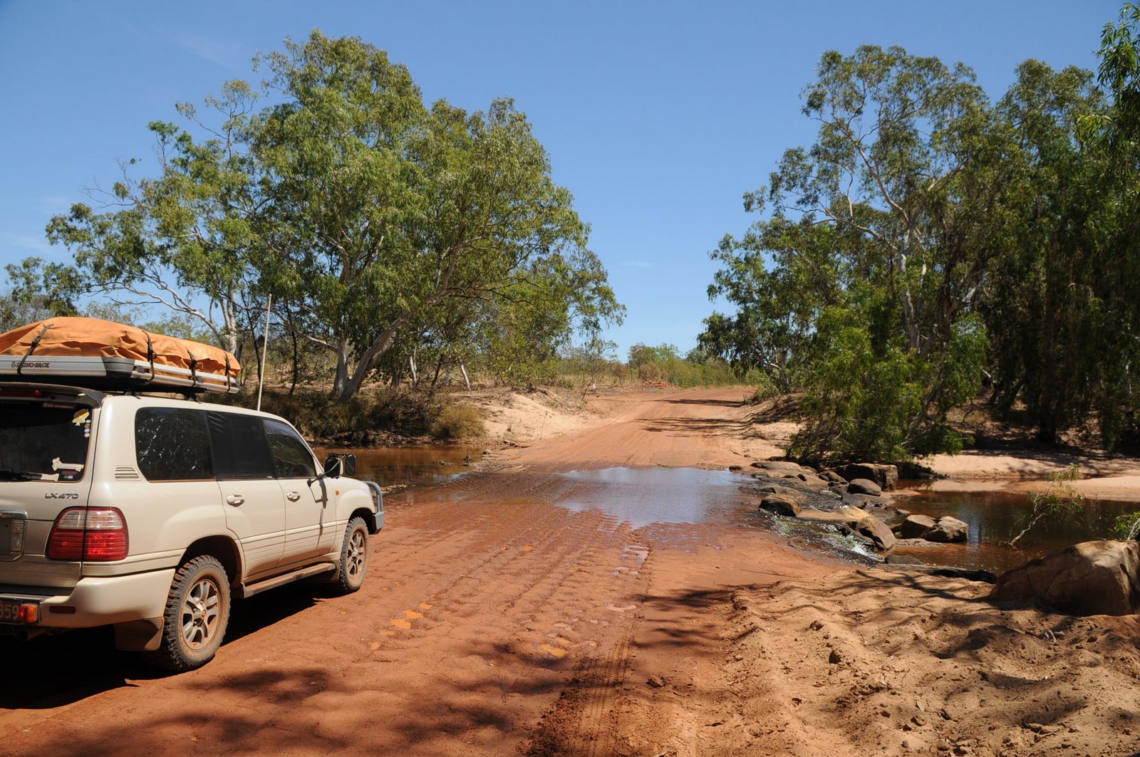
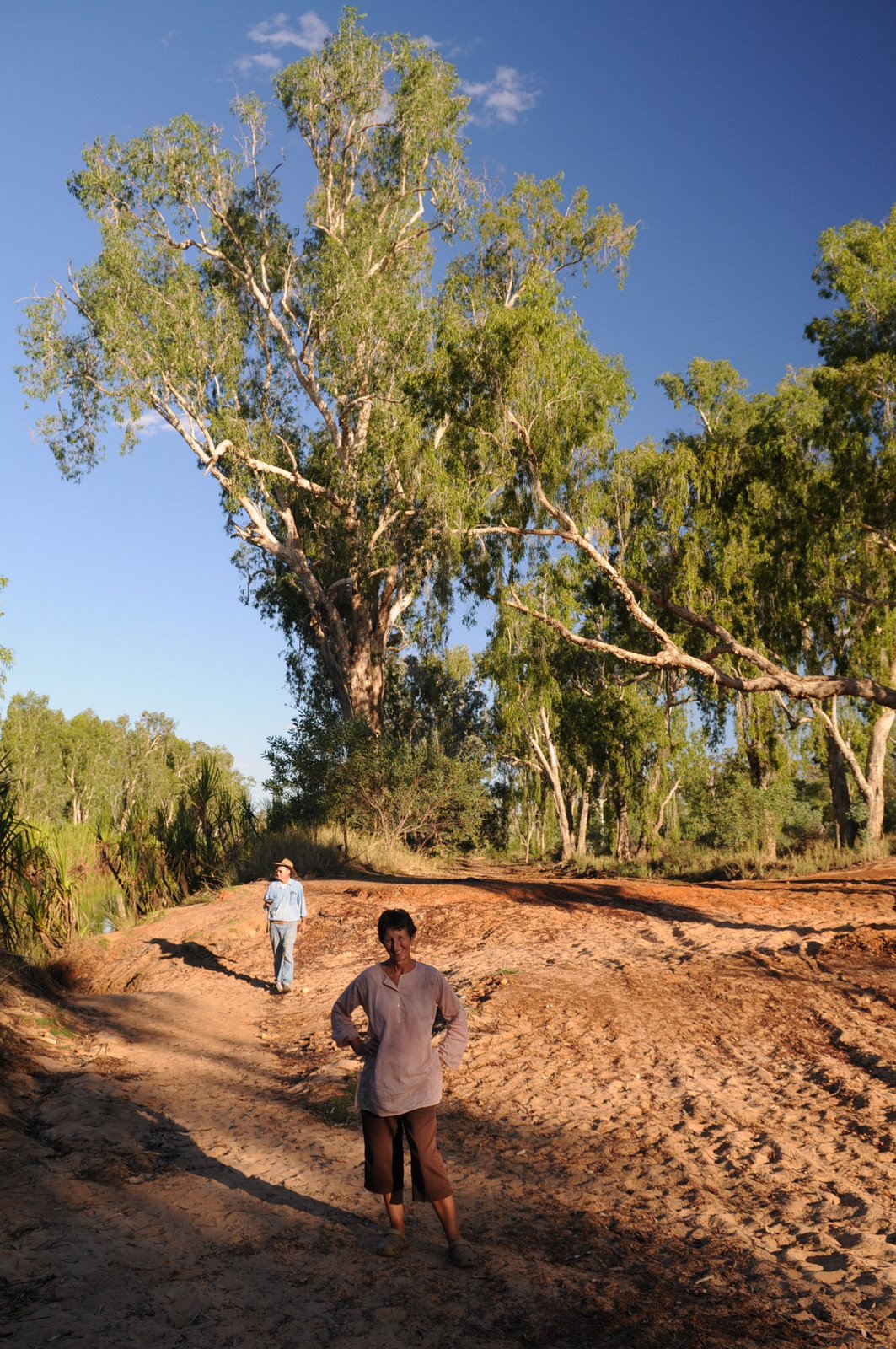
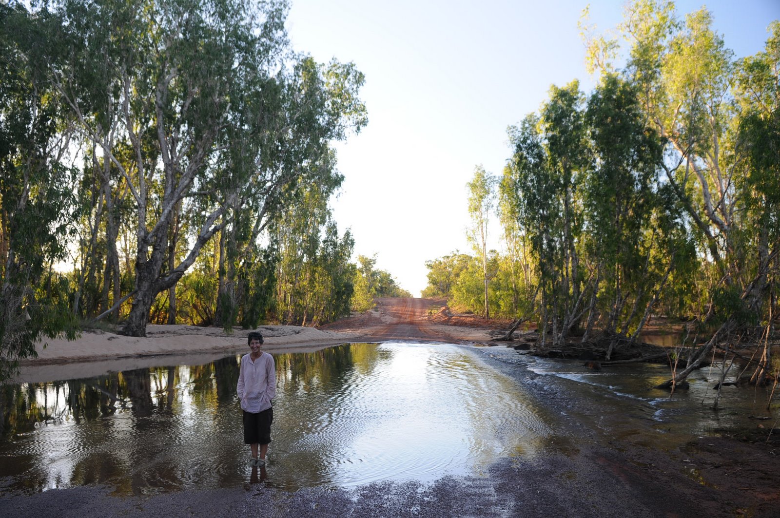
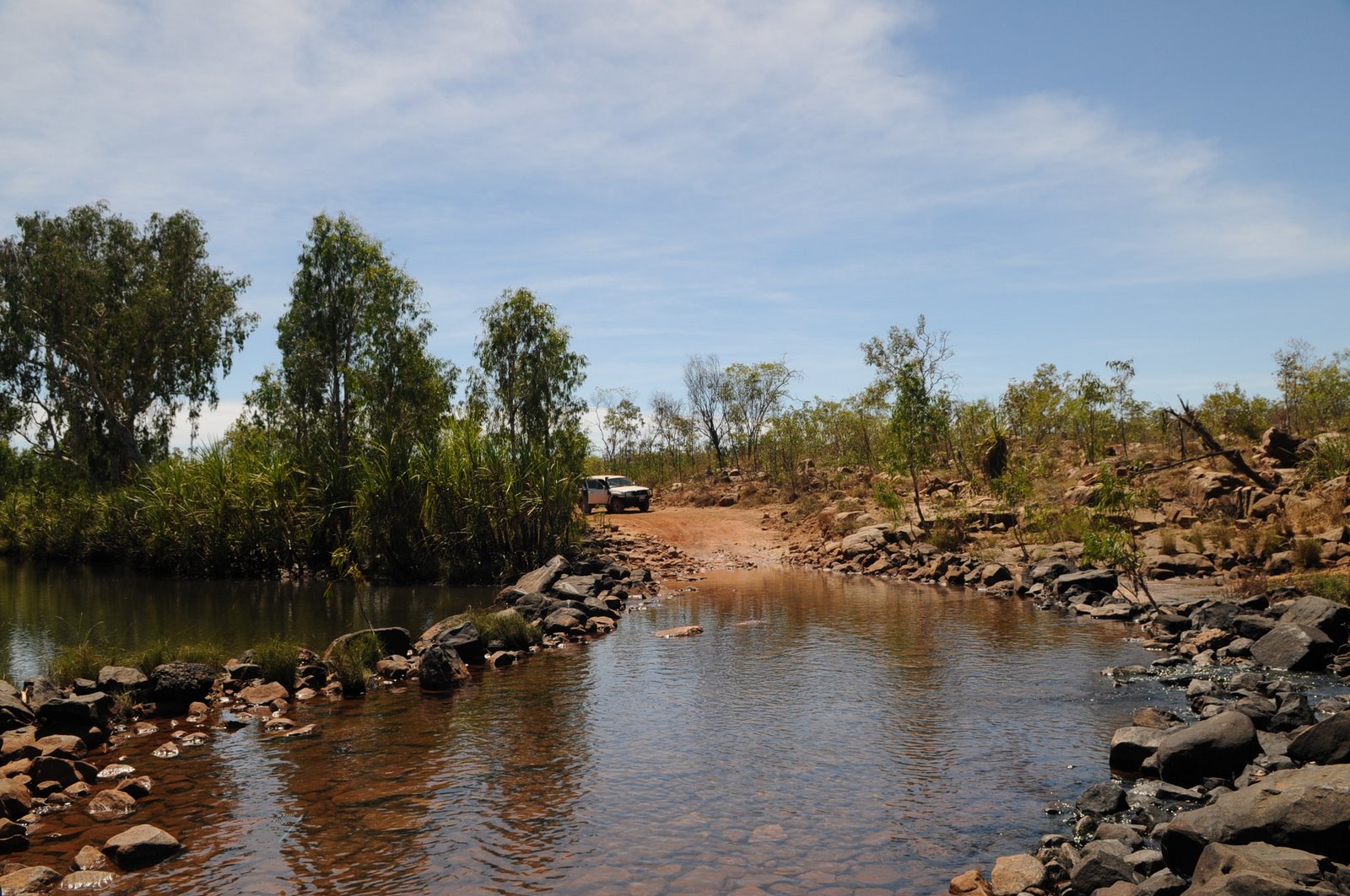
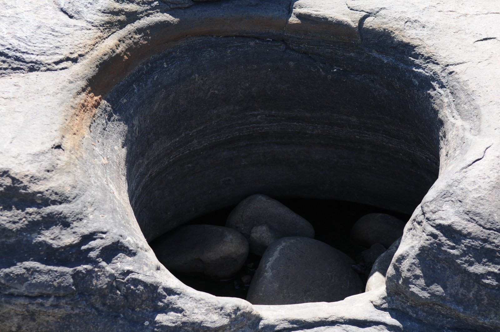
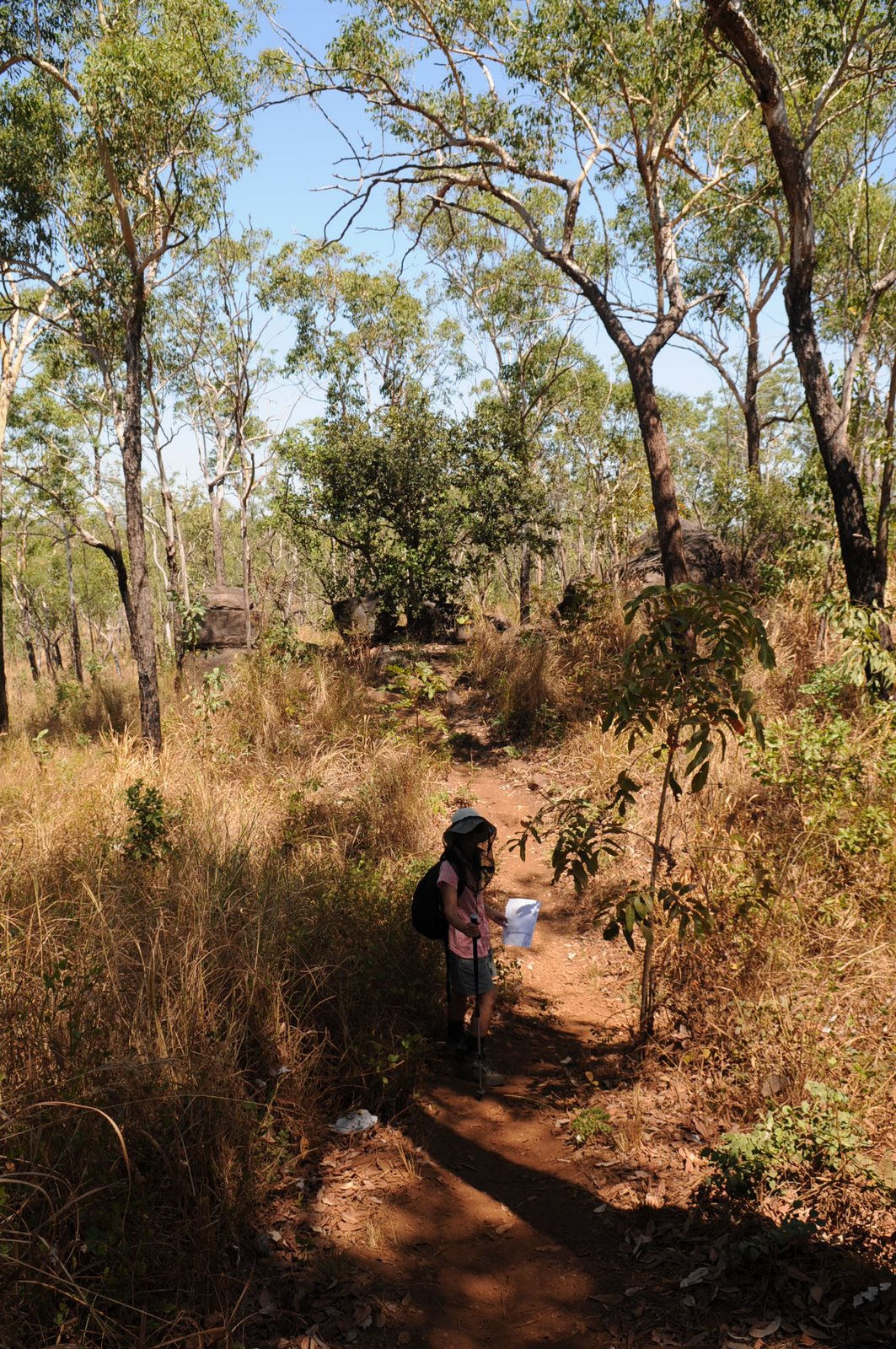
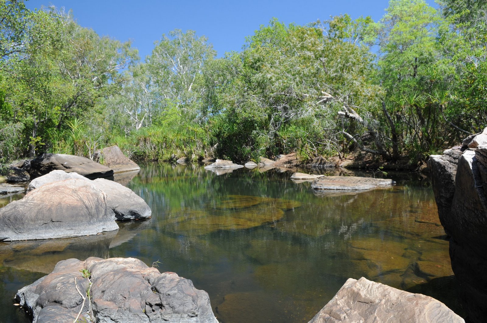
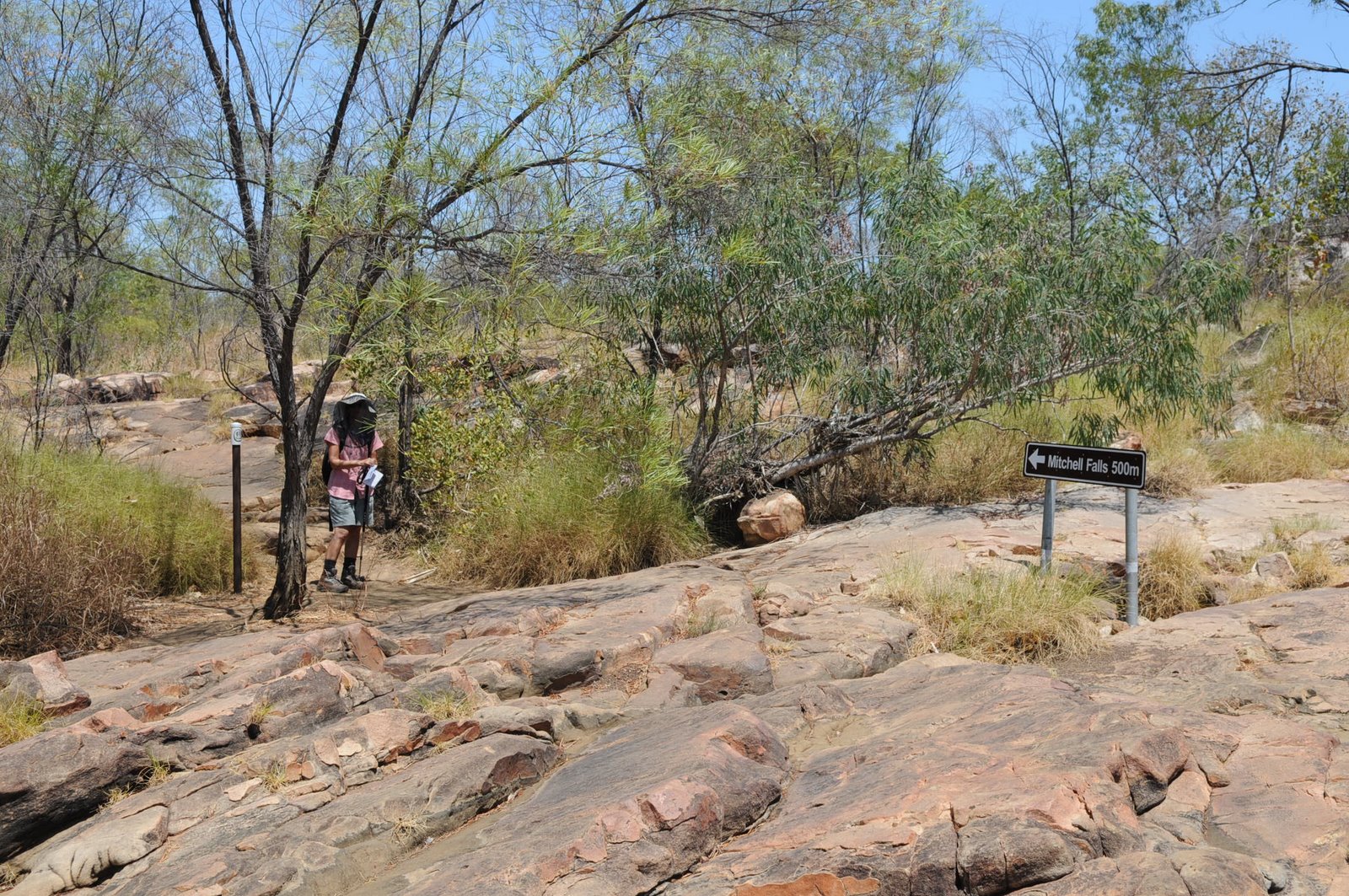
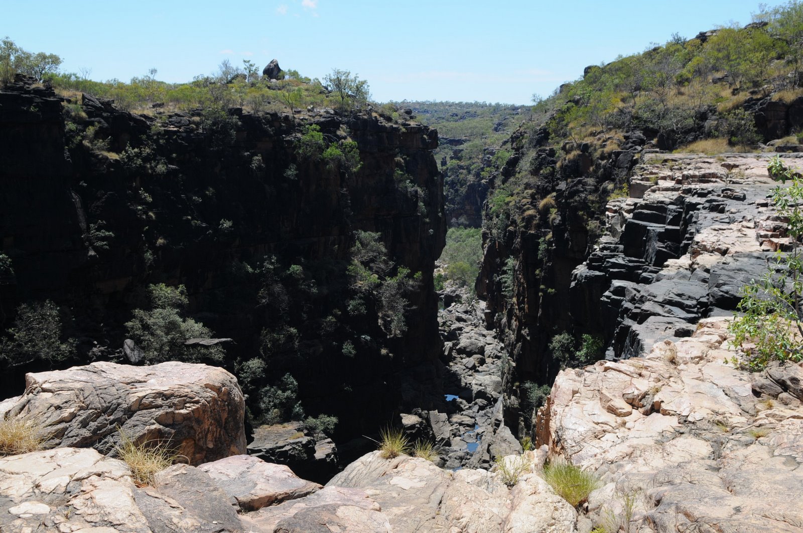
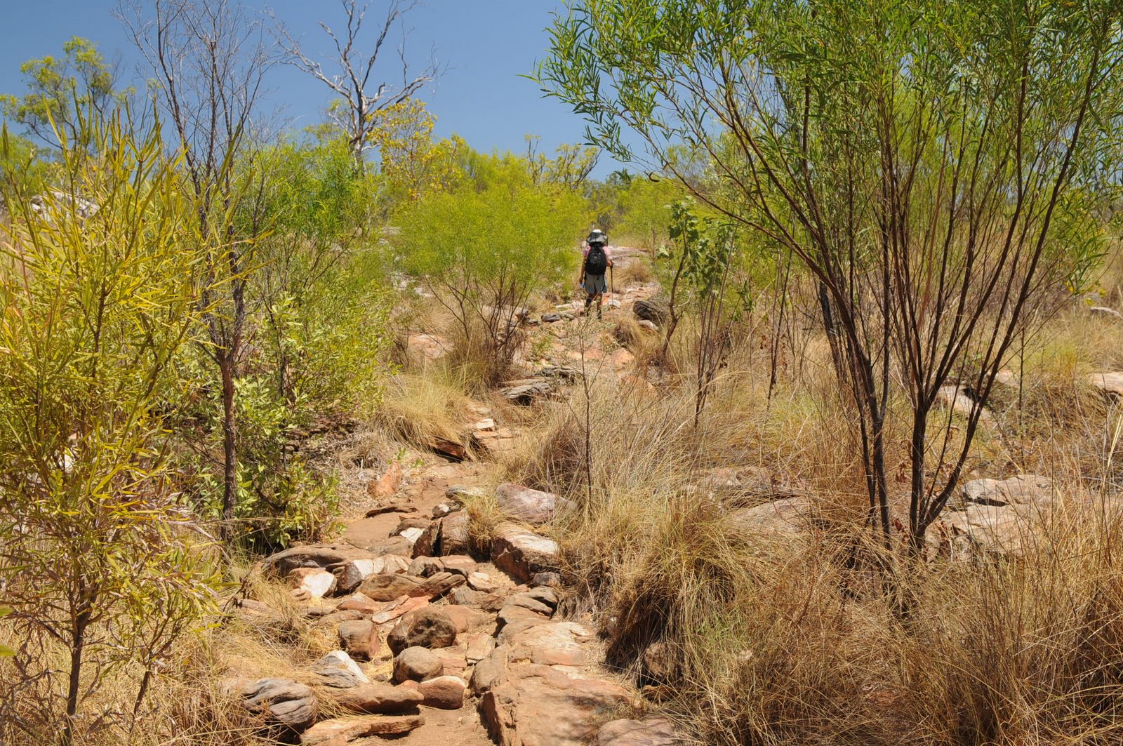
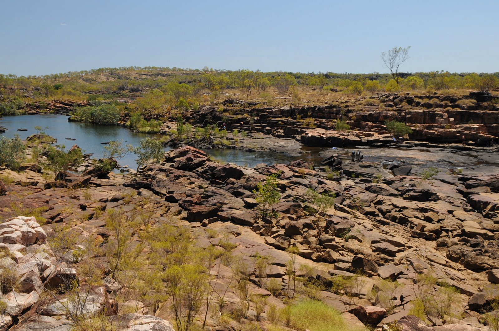
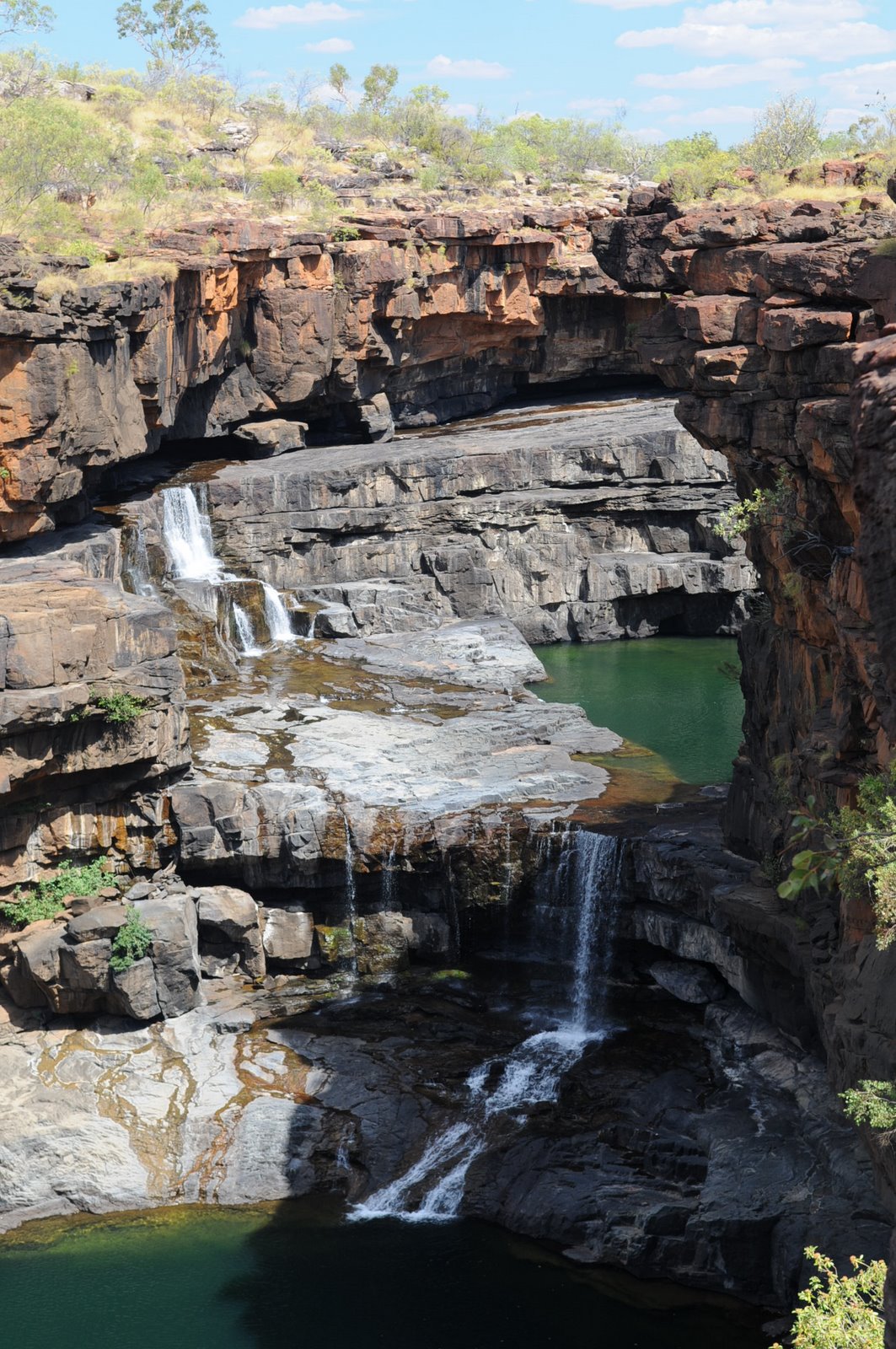
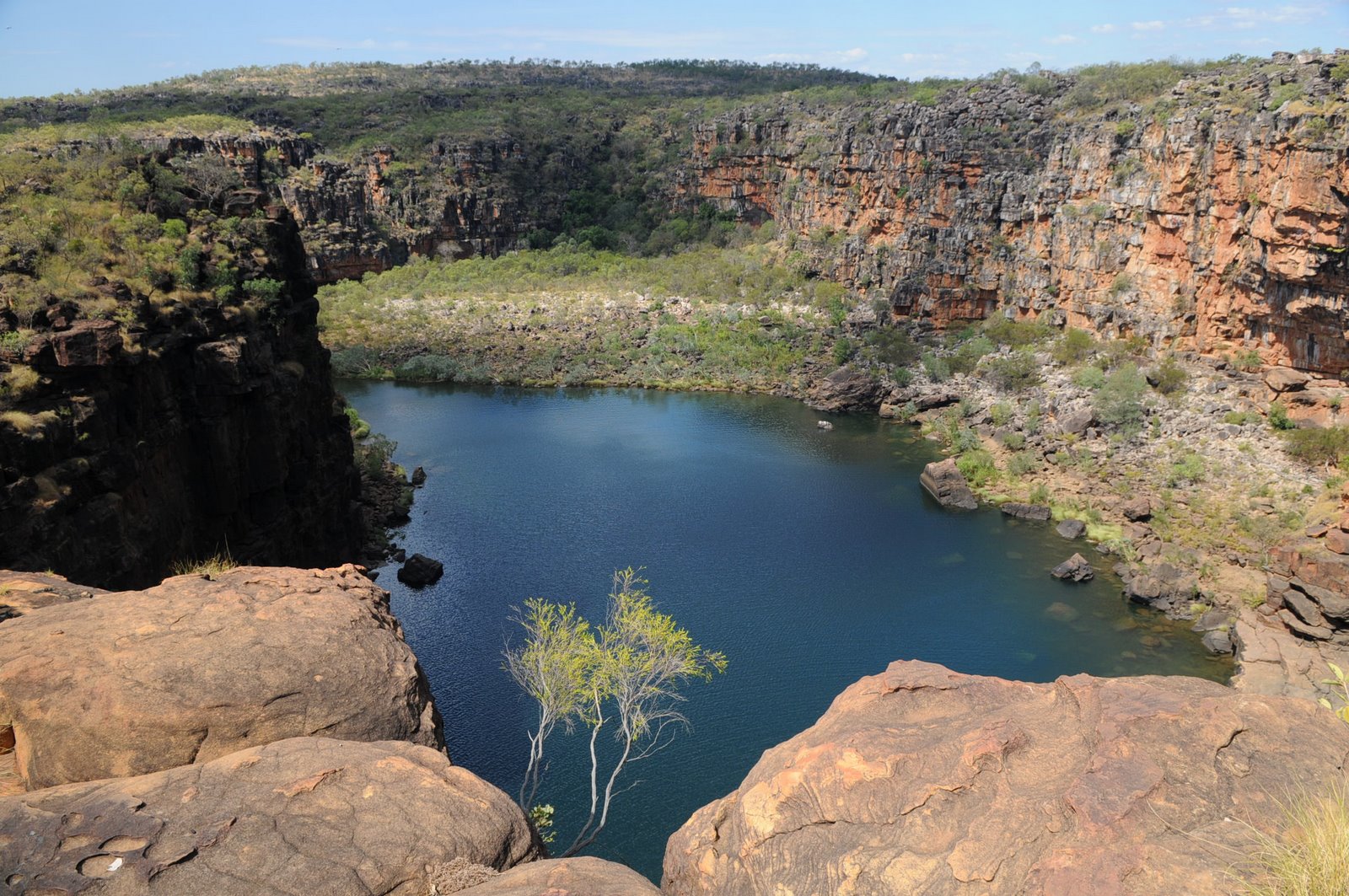
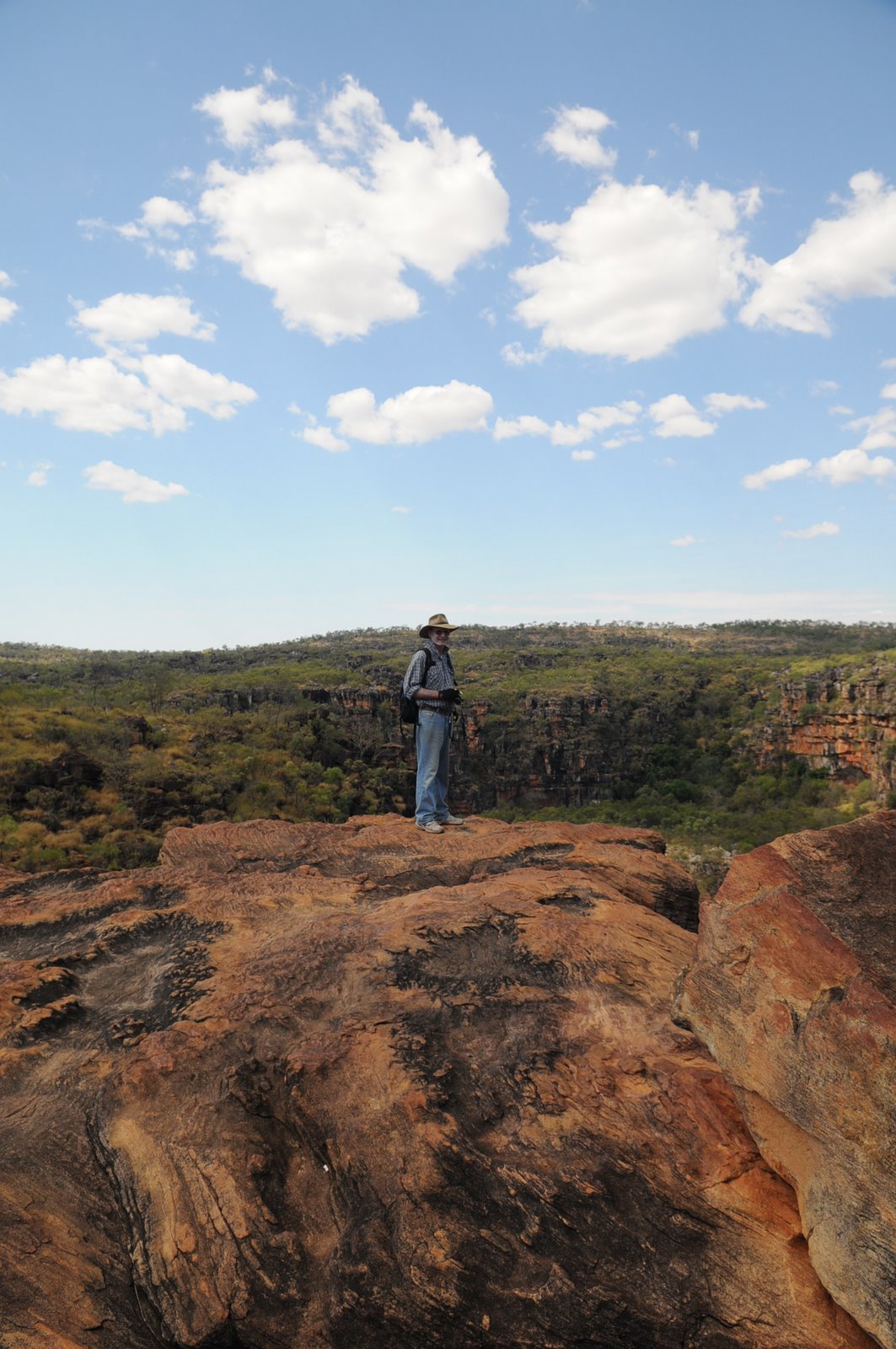
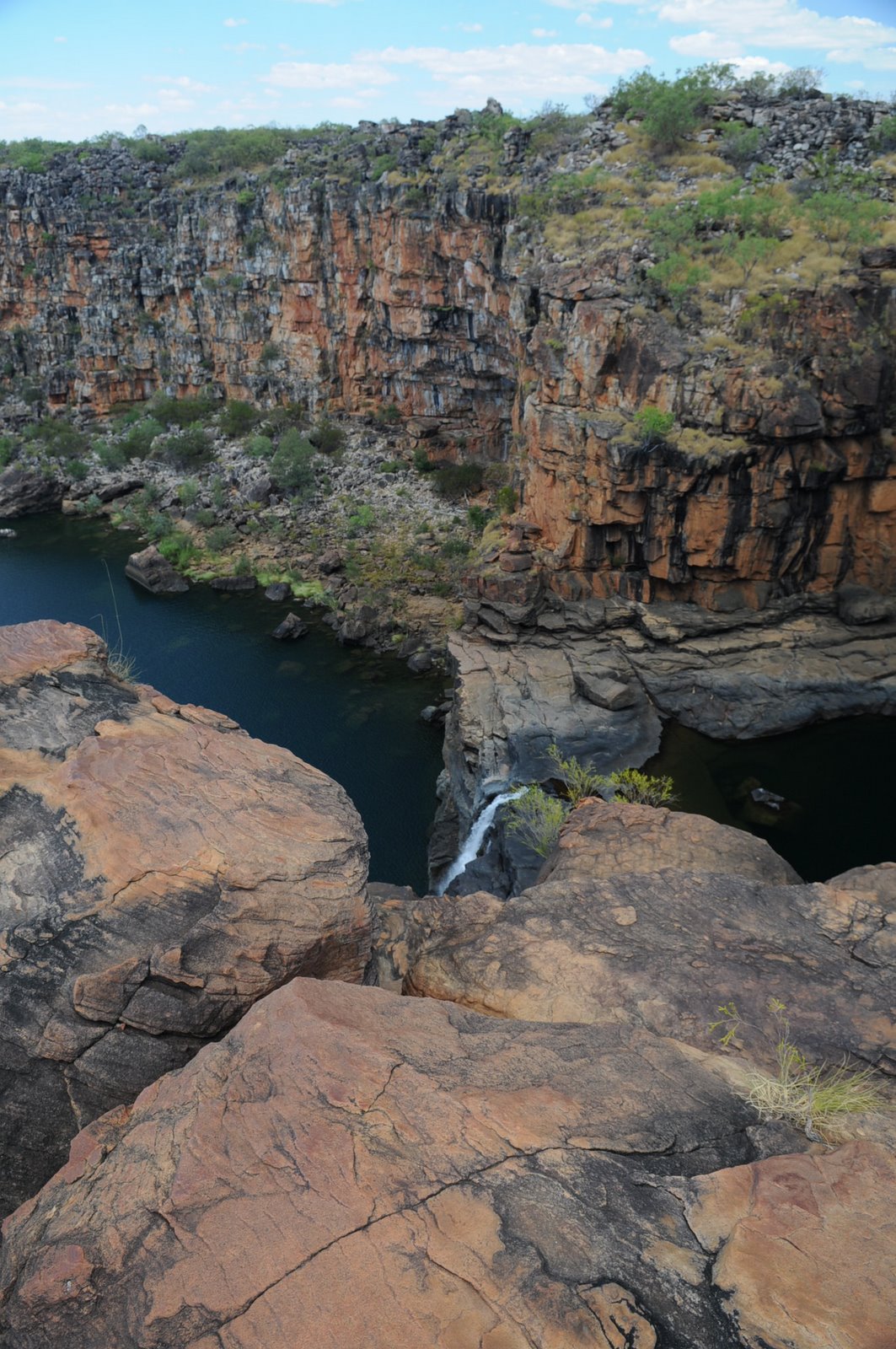
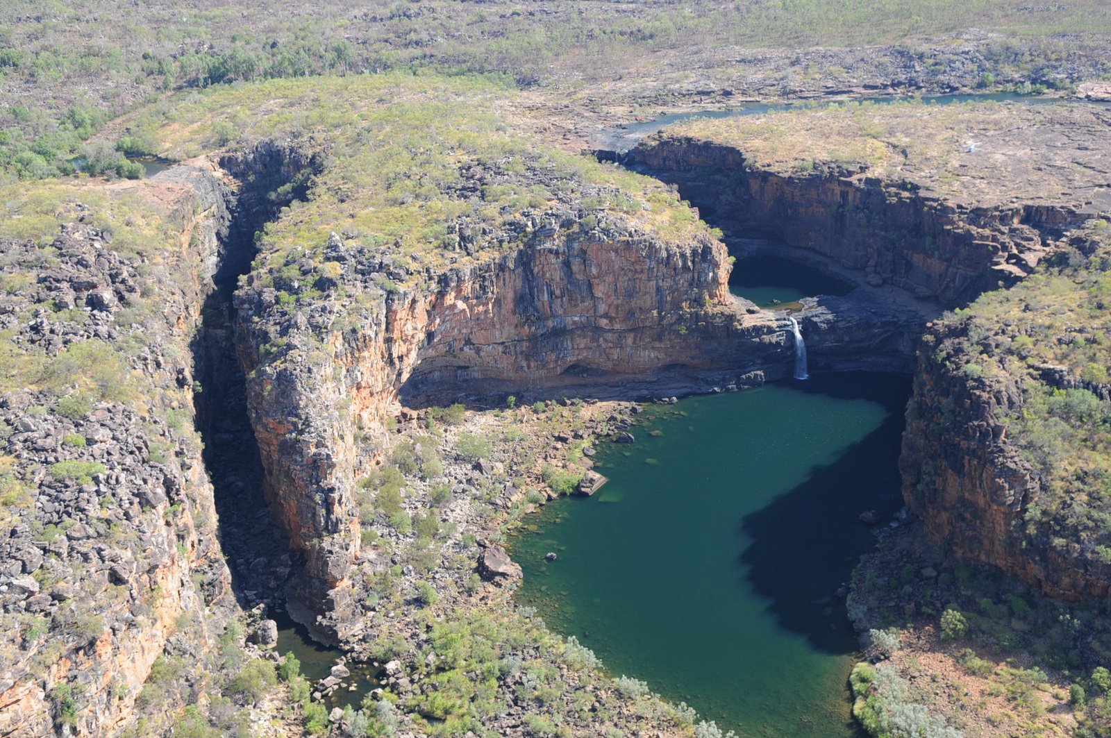
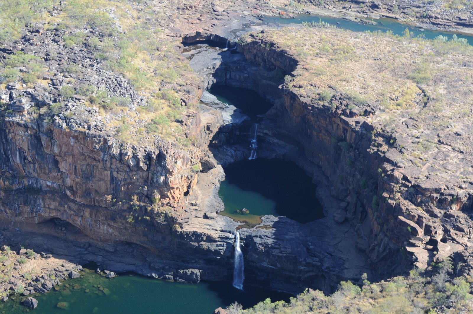
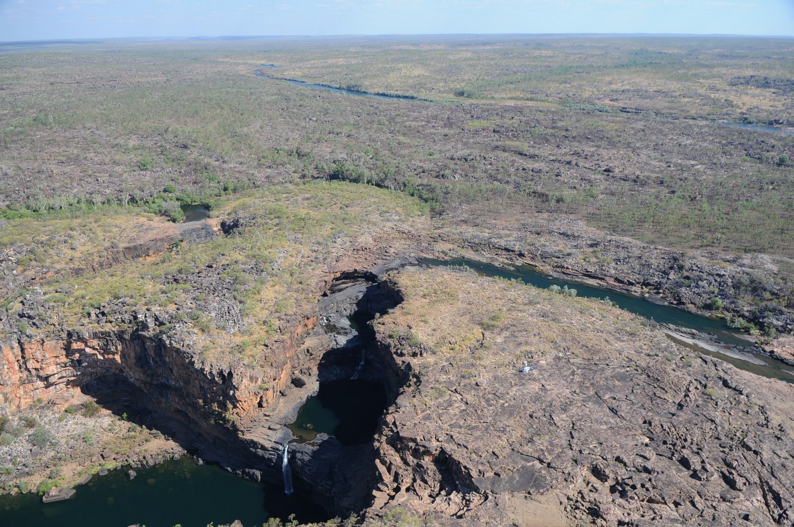
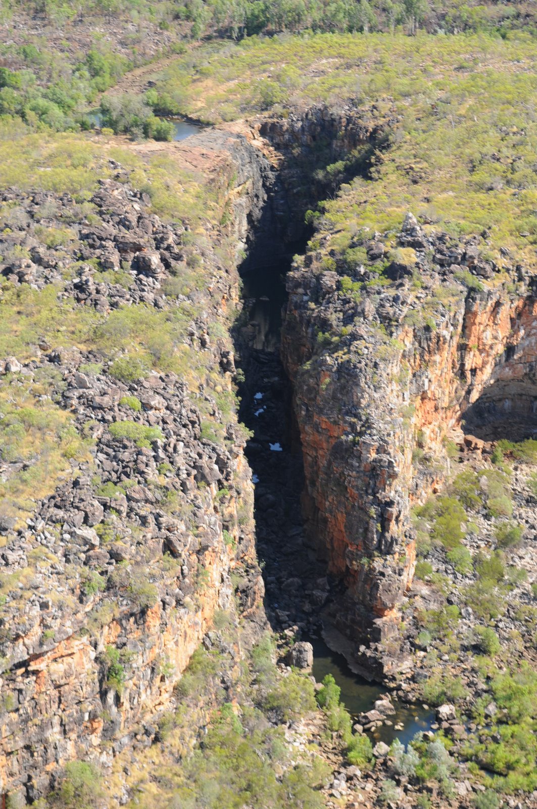
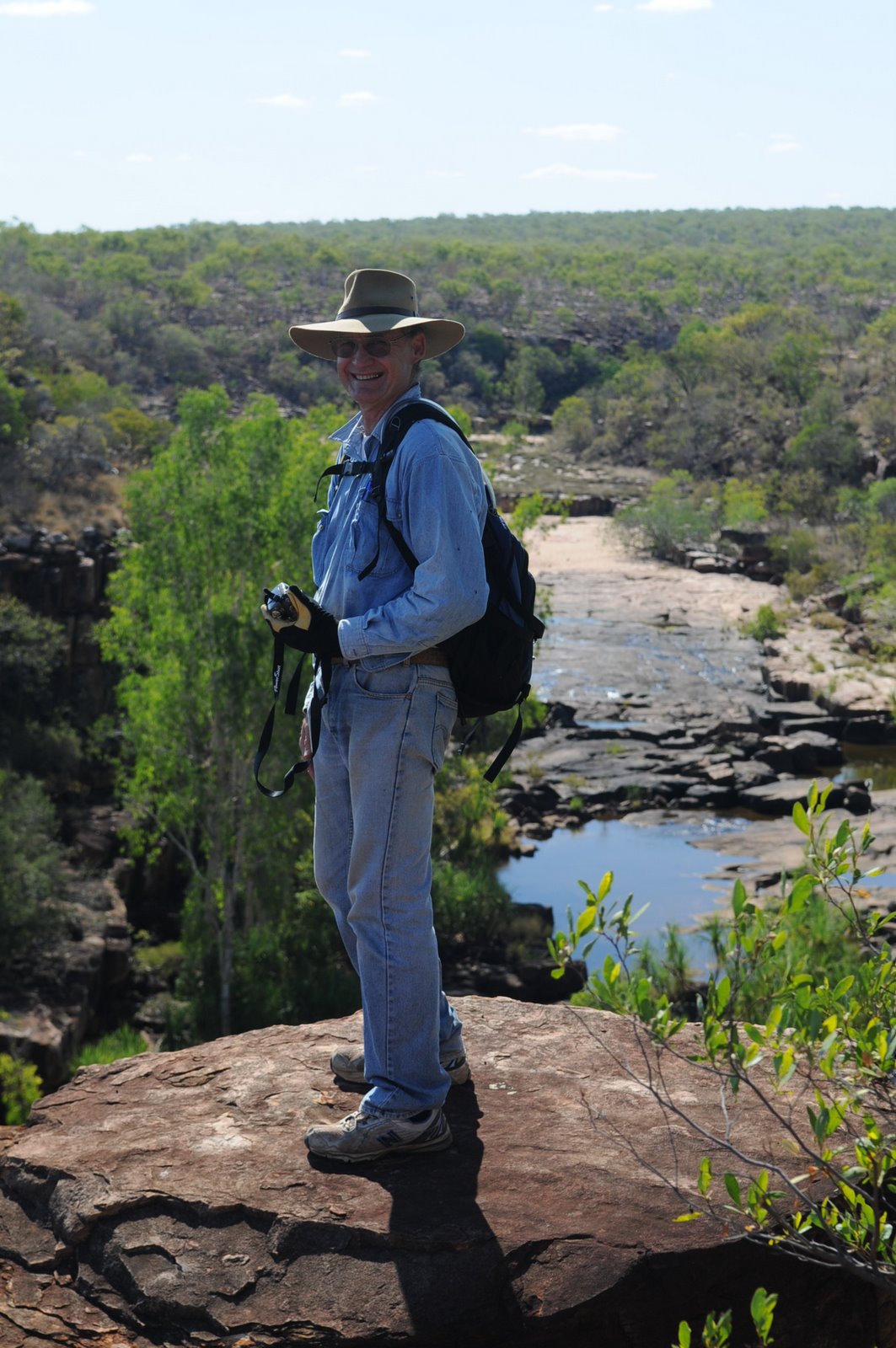
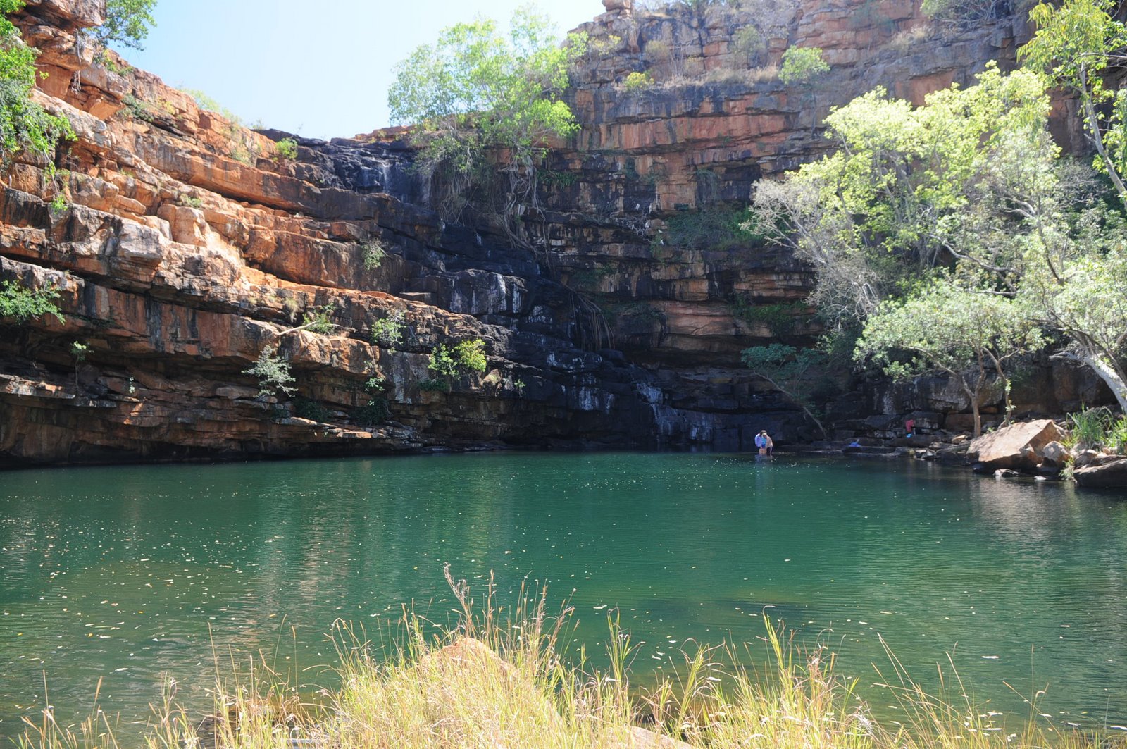
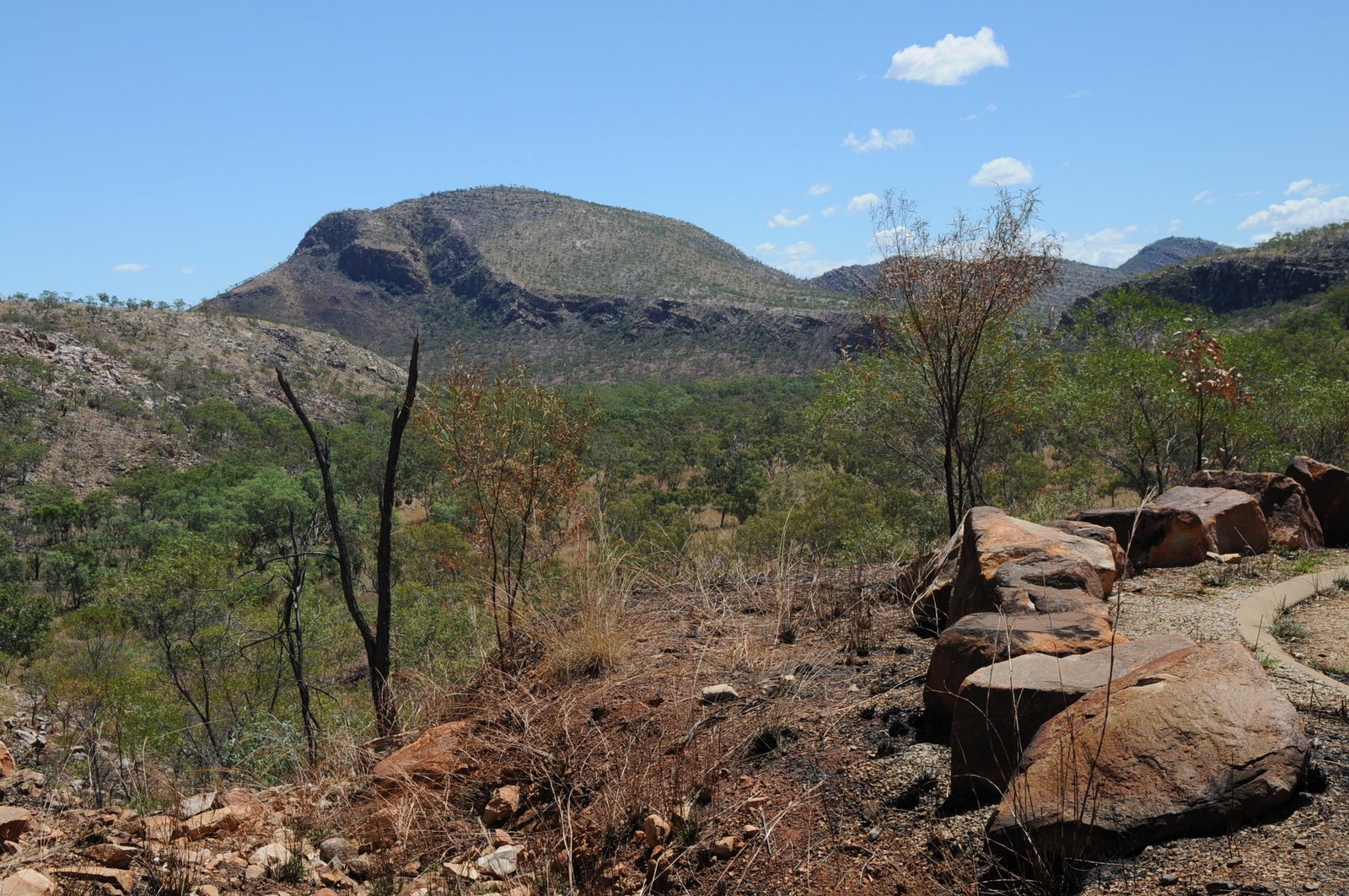
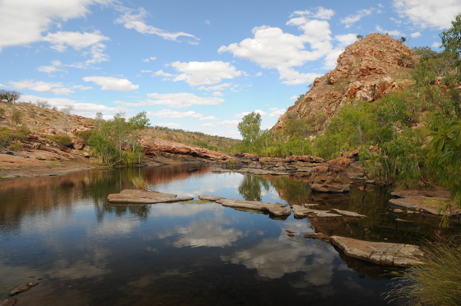
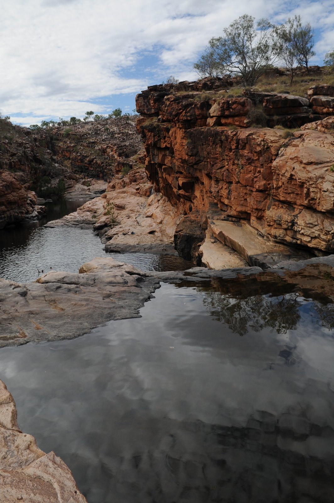
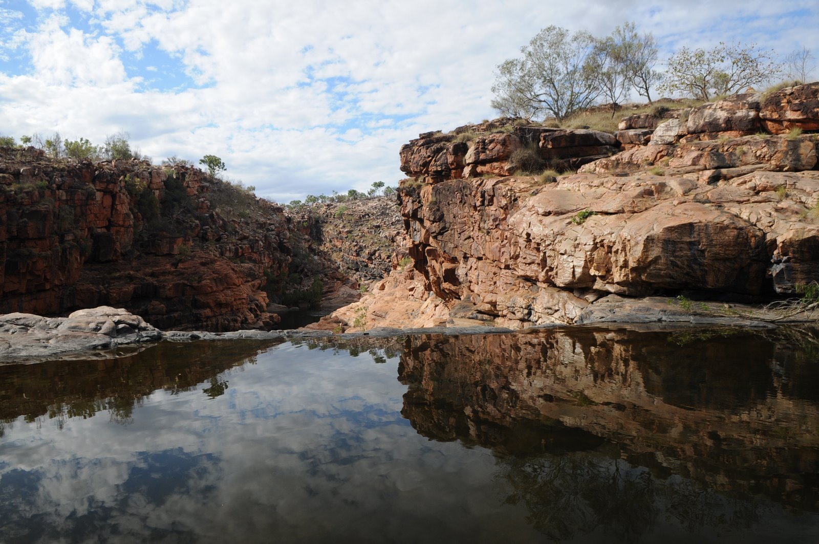
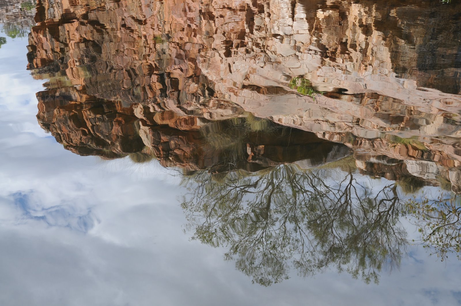
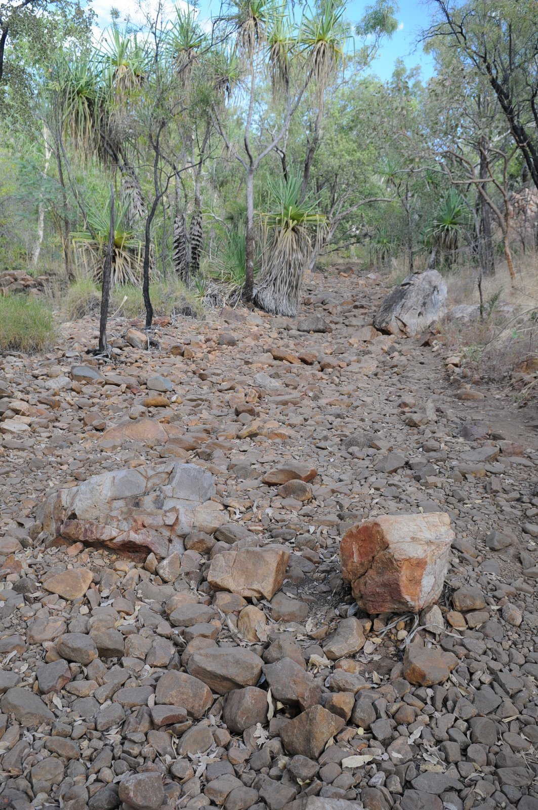
We decided to go to Sir John Gorge in the morning to avoid the greatest heat of the day. The 14km to the gorge was quite rough, particularly Roy Creek just near the gorge. We only walked 2km into the gorge as we decided that the rest would be pretty much the same and it was already very hot.
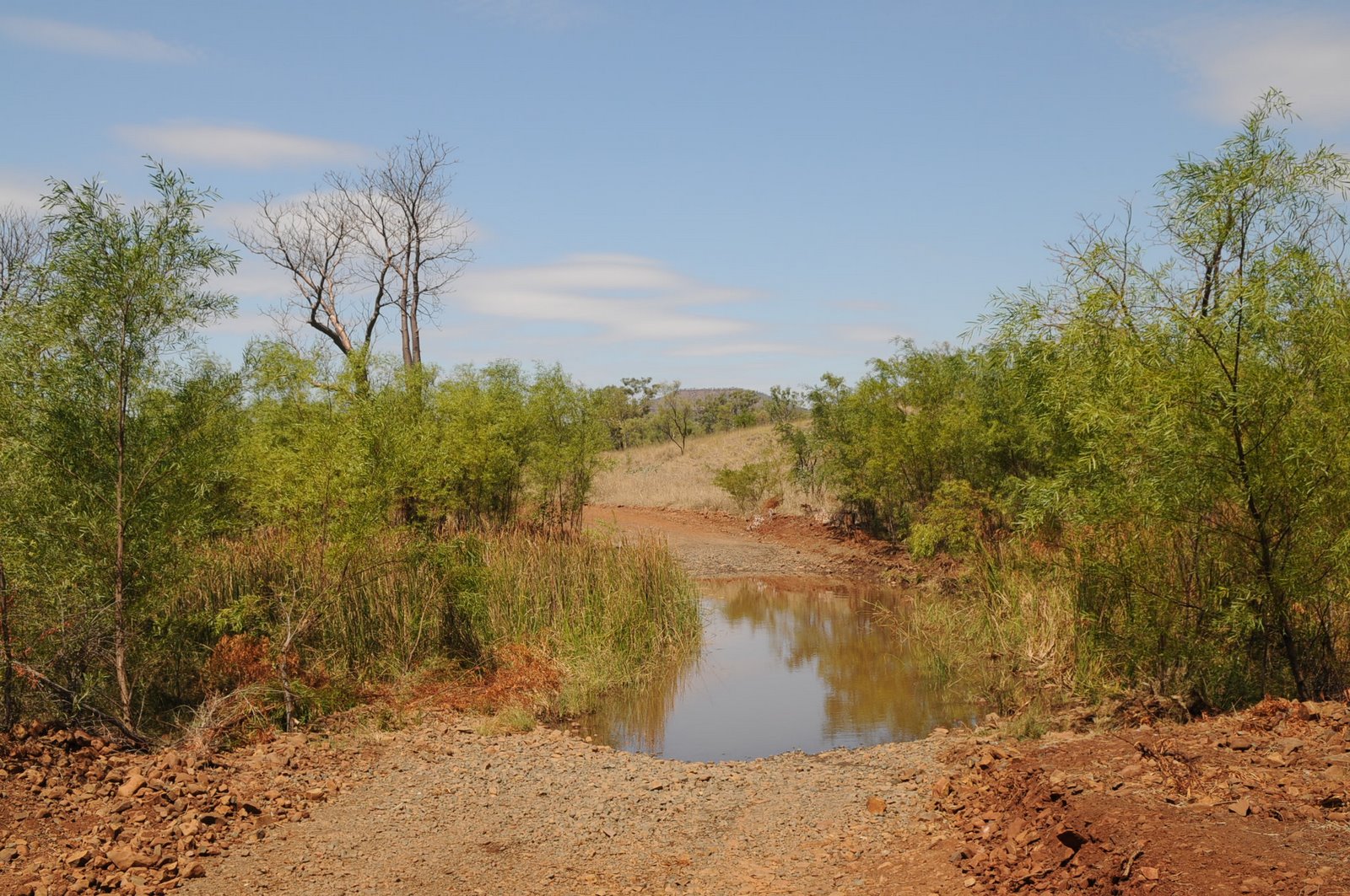
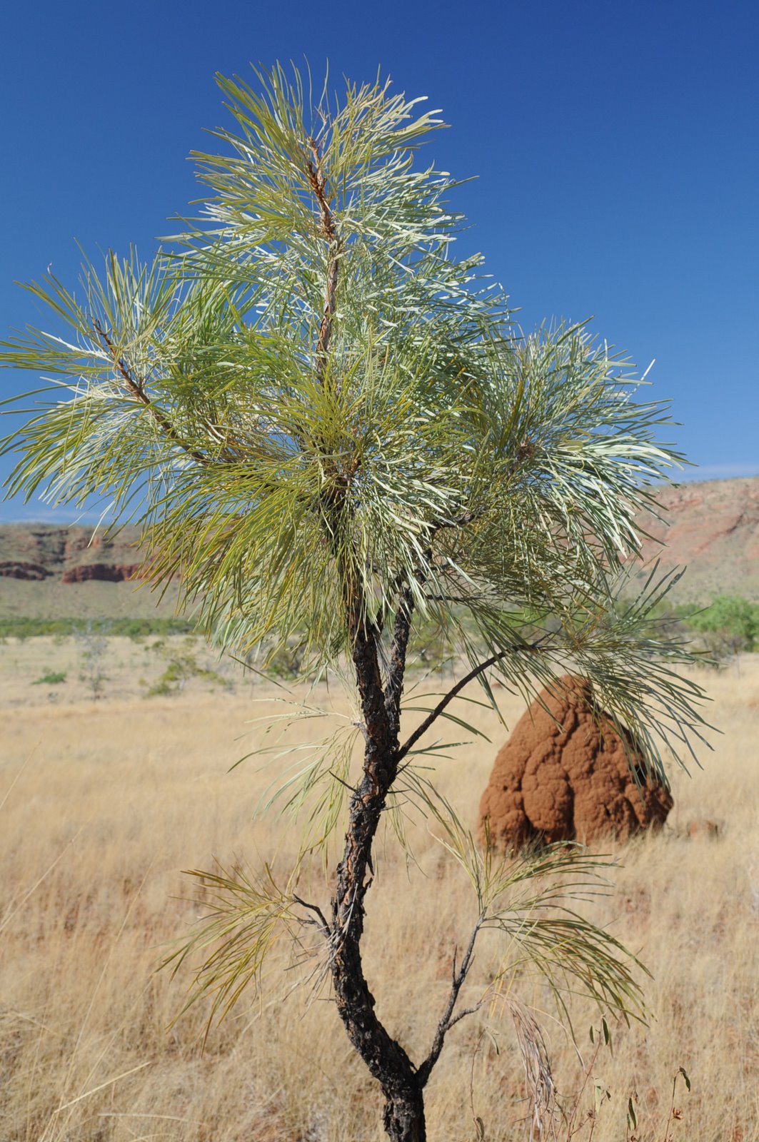
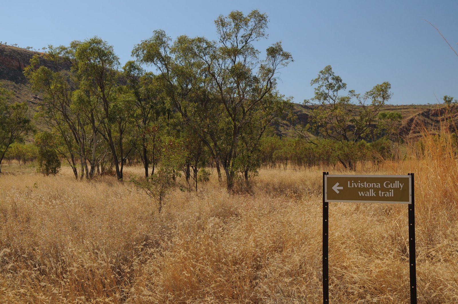
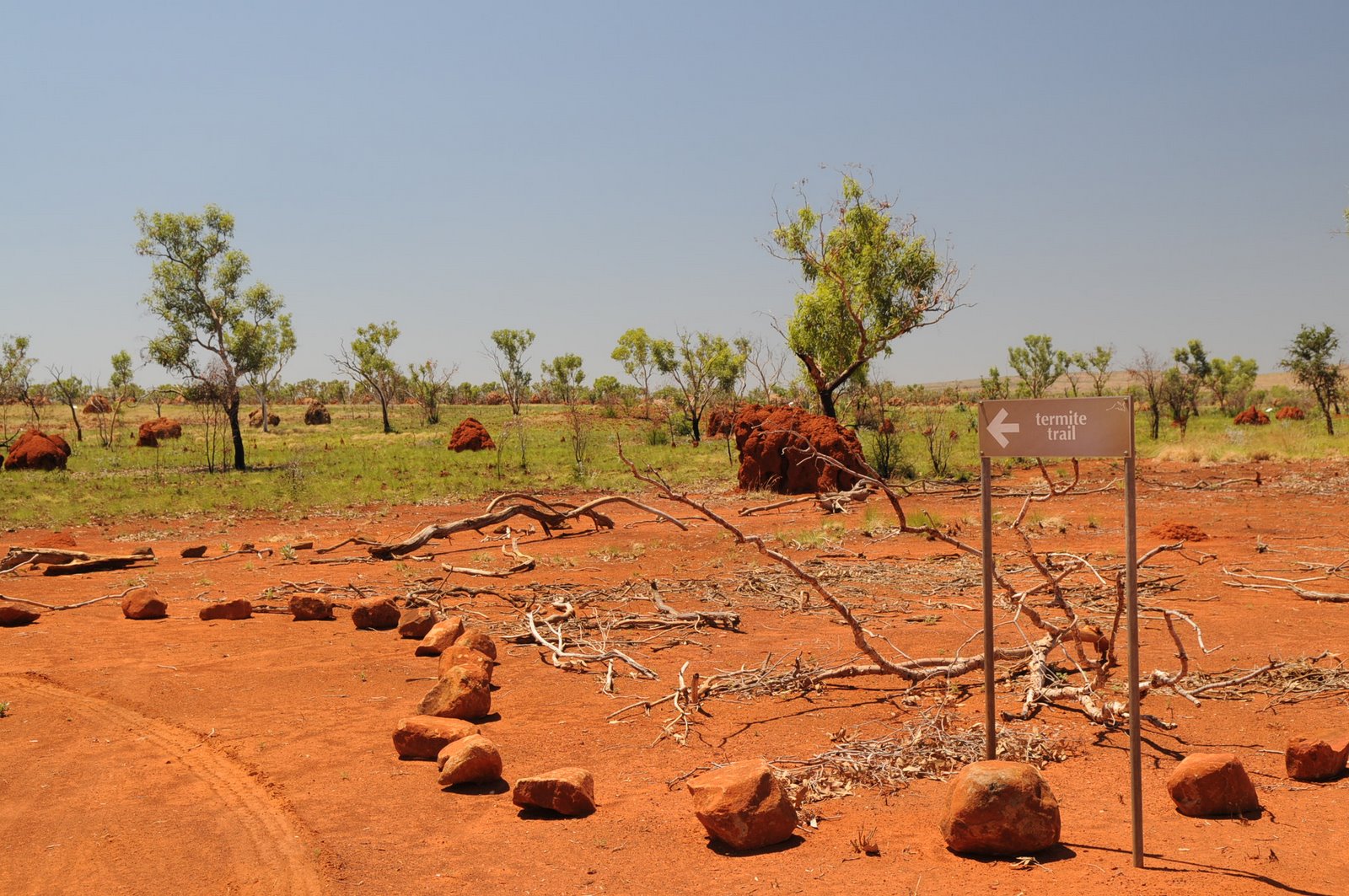
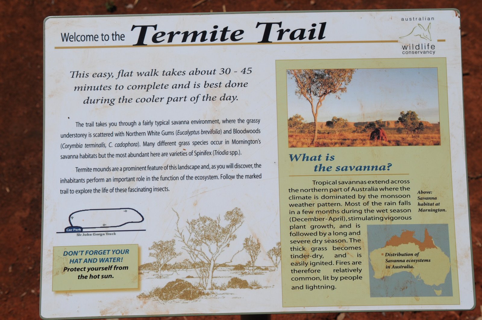
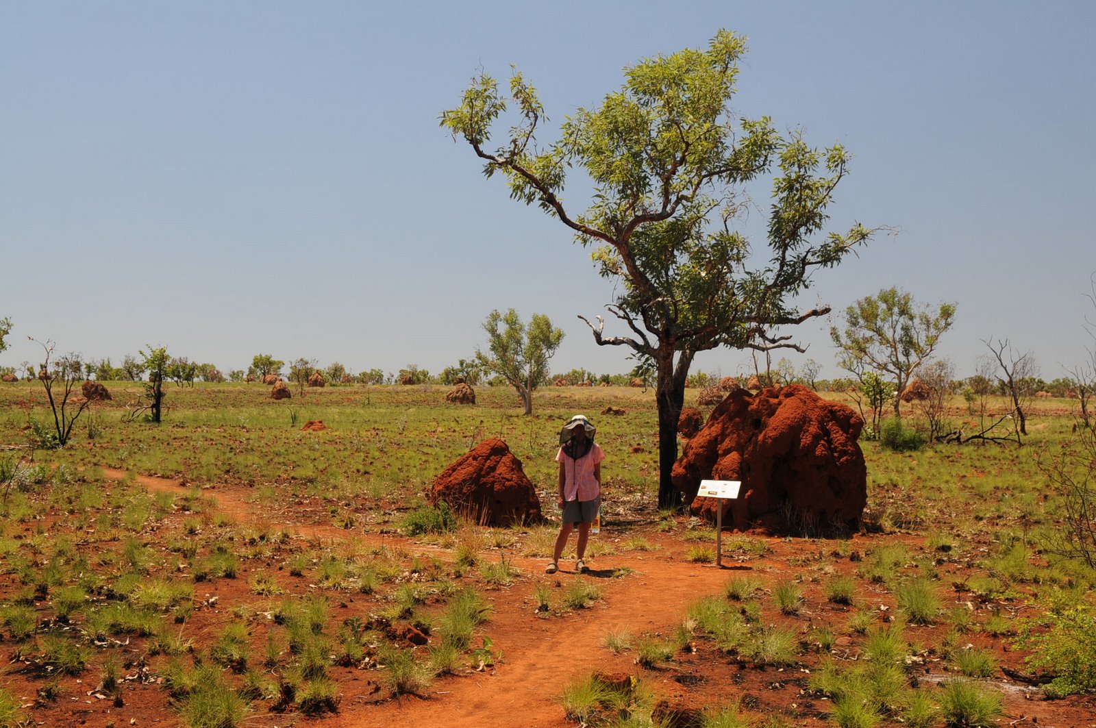
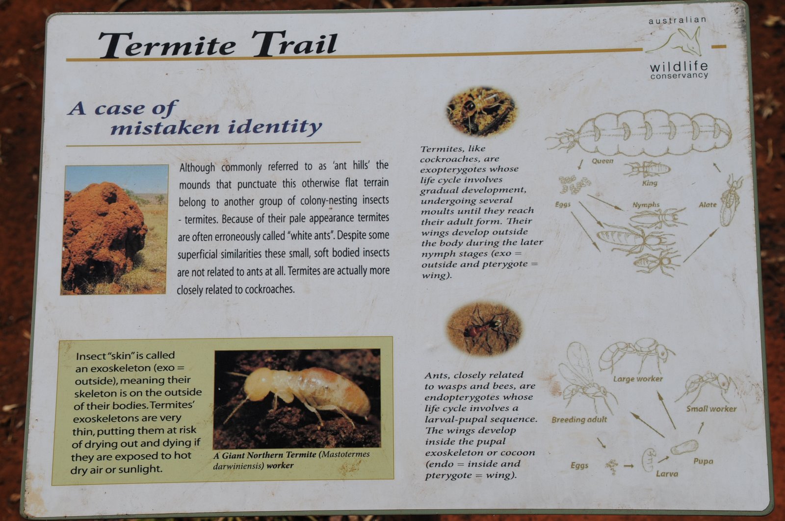
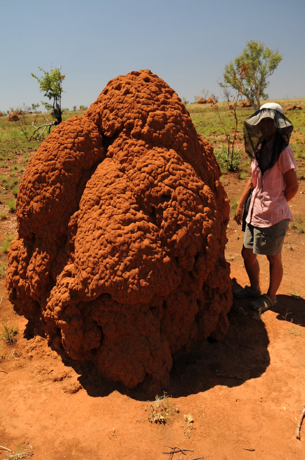
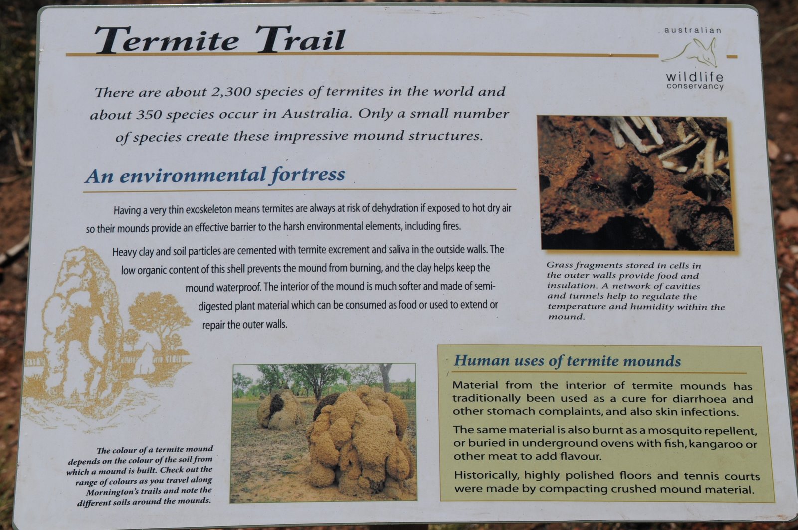
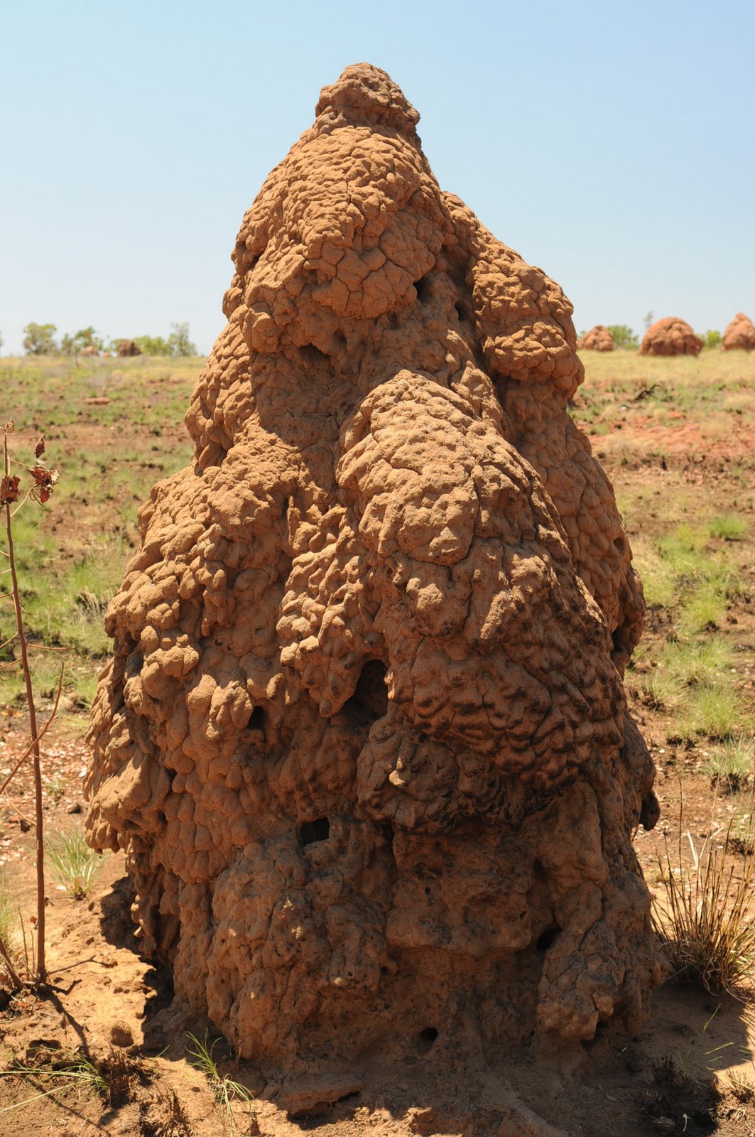
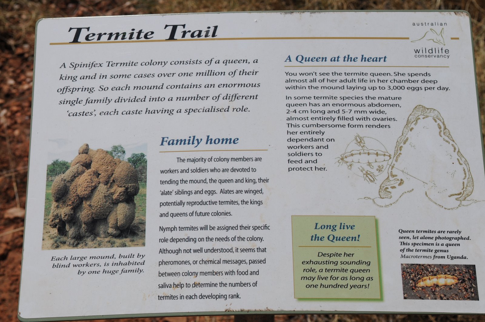
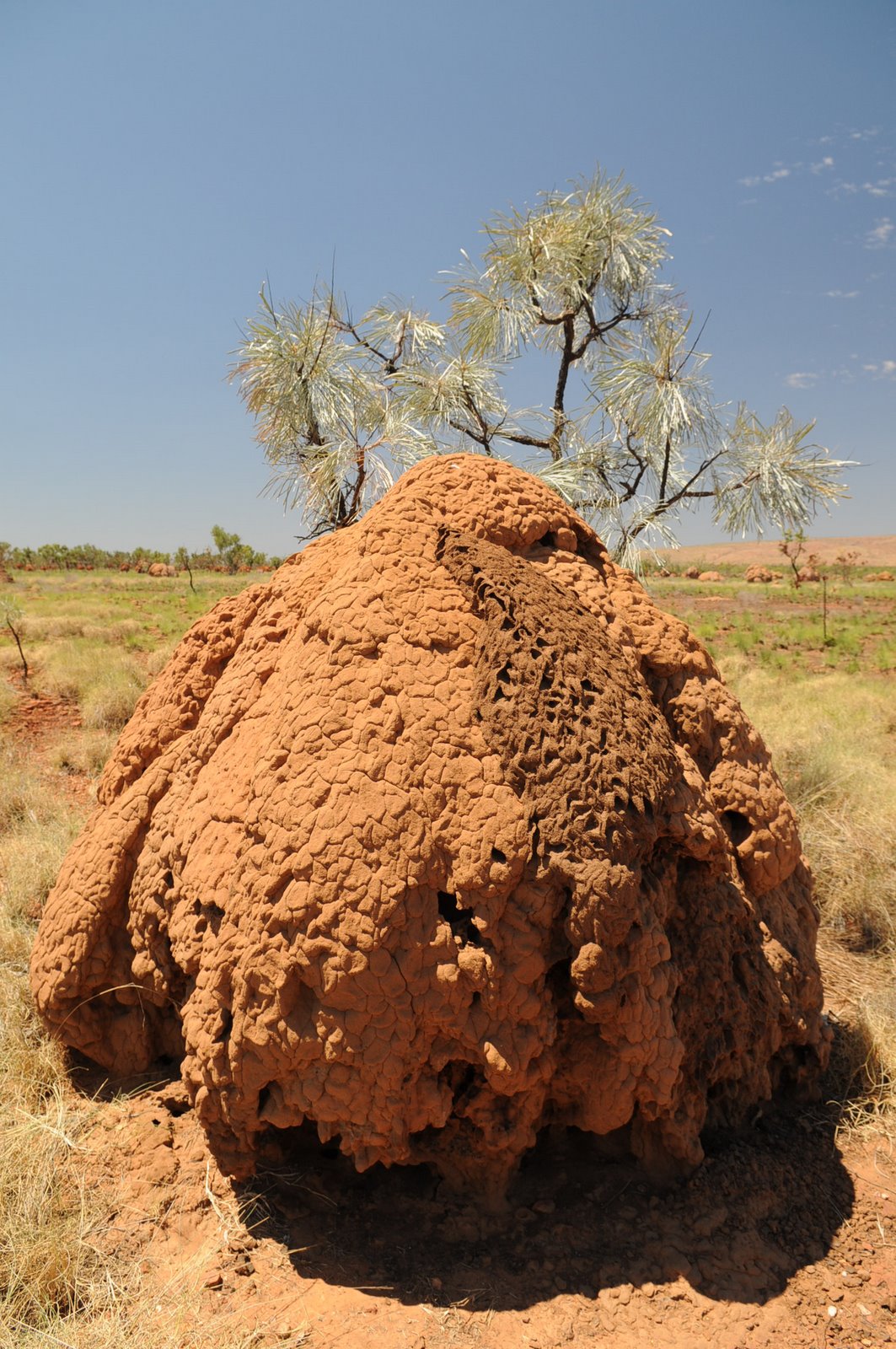
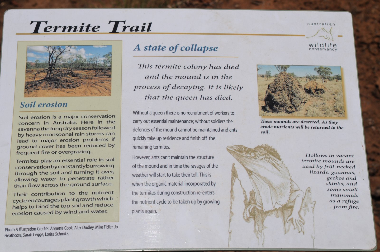
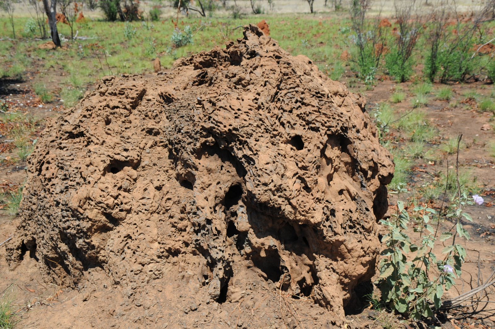
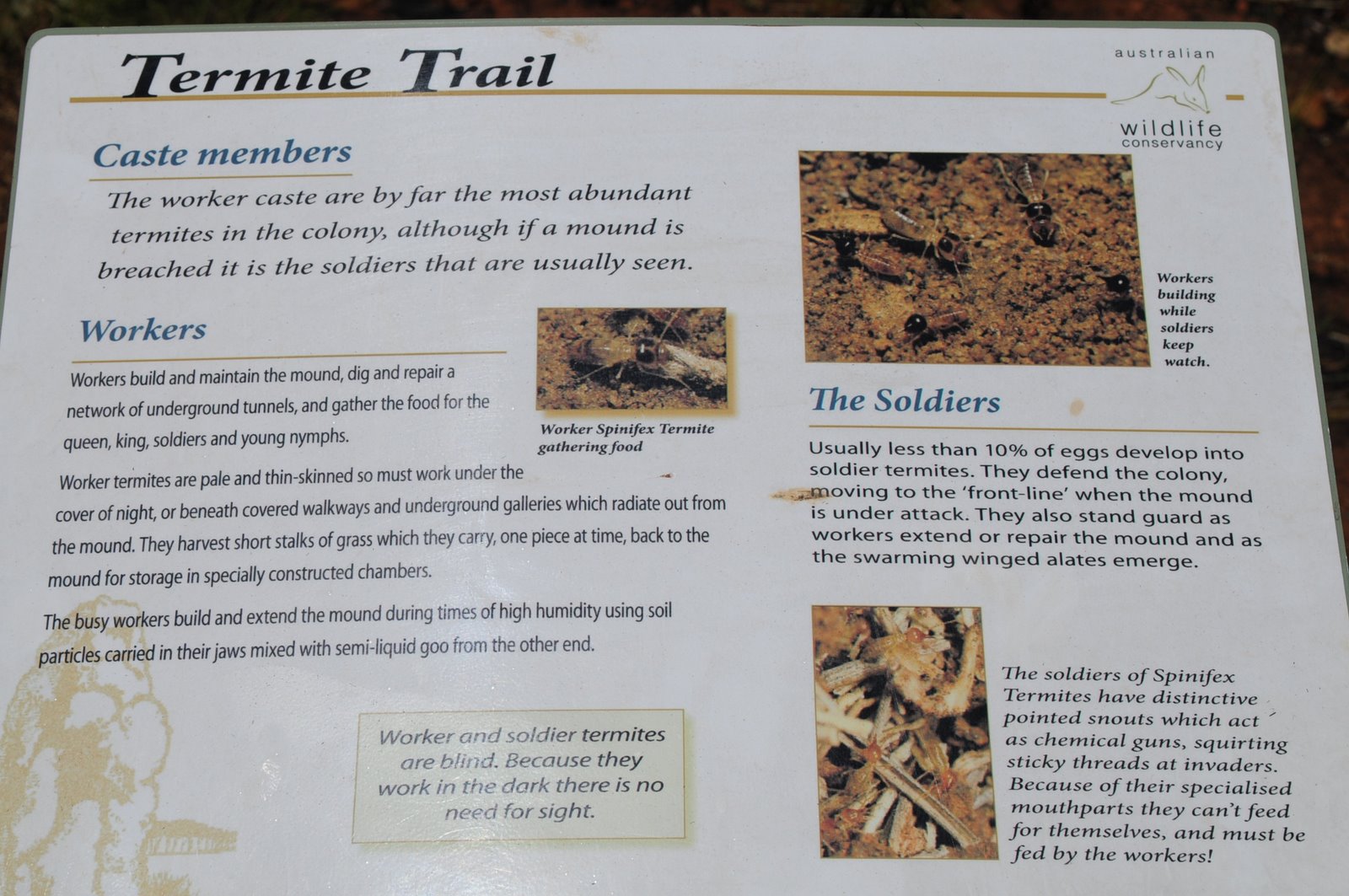
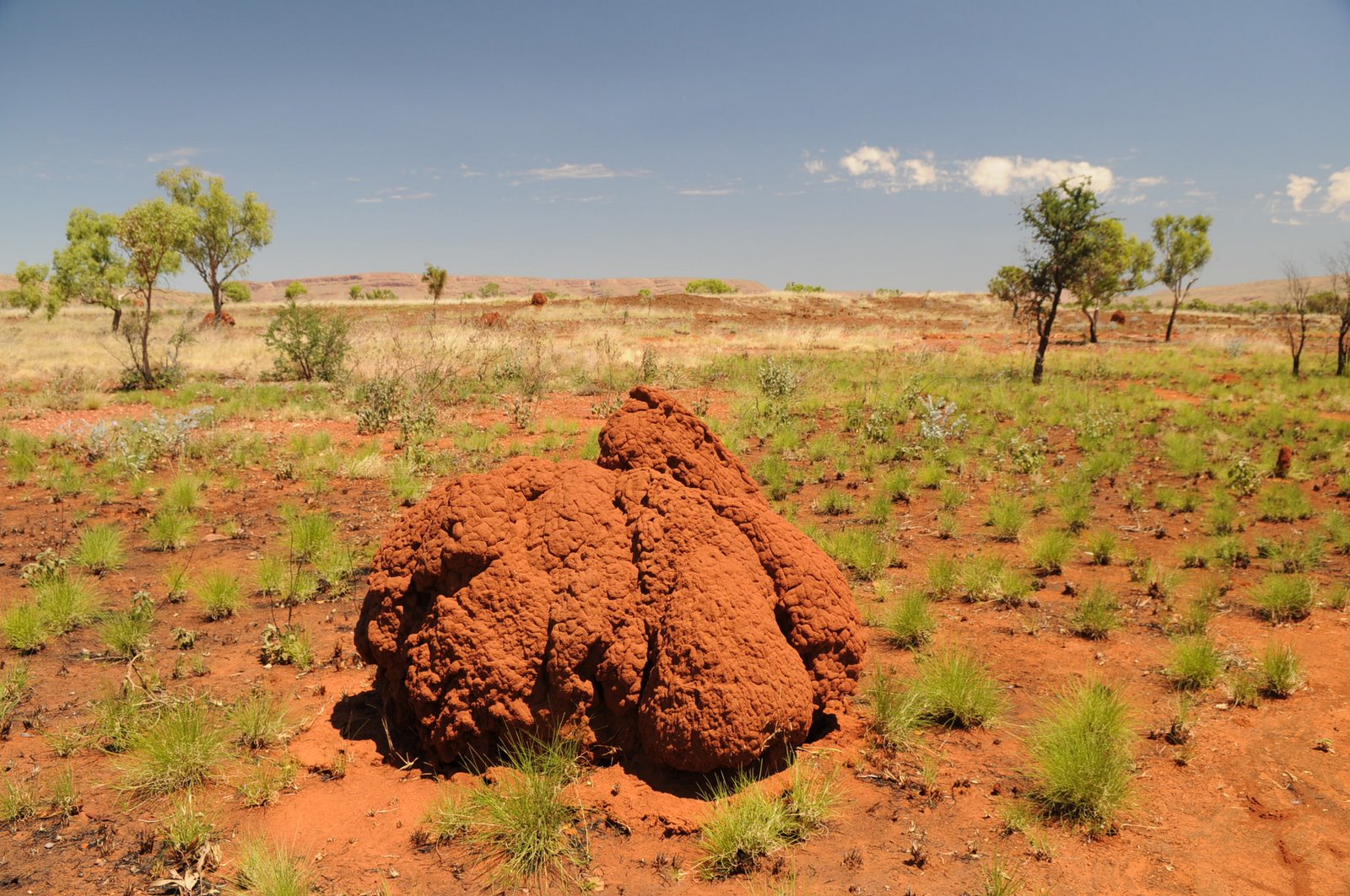
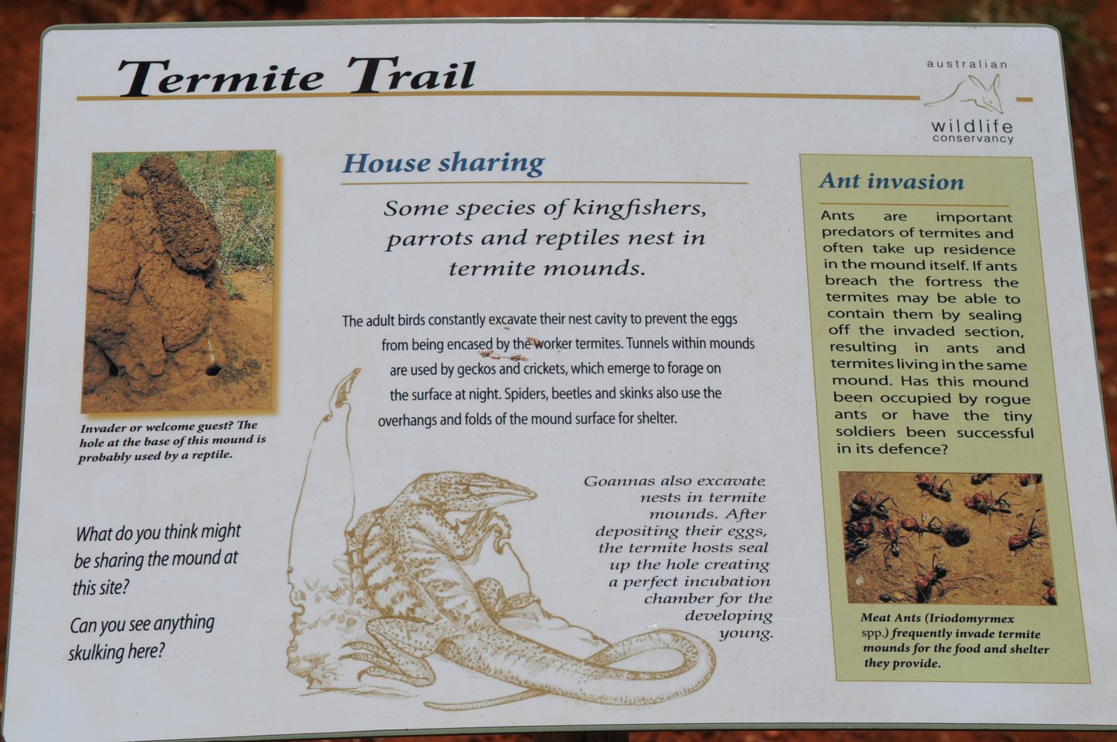
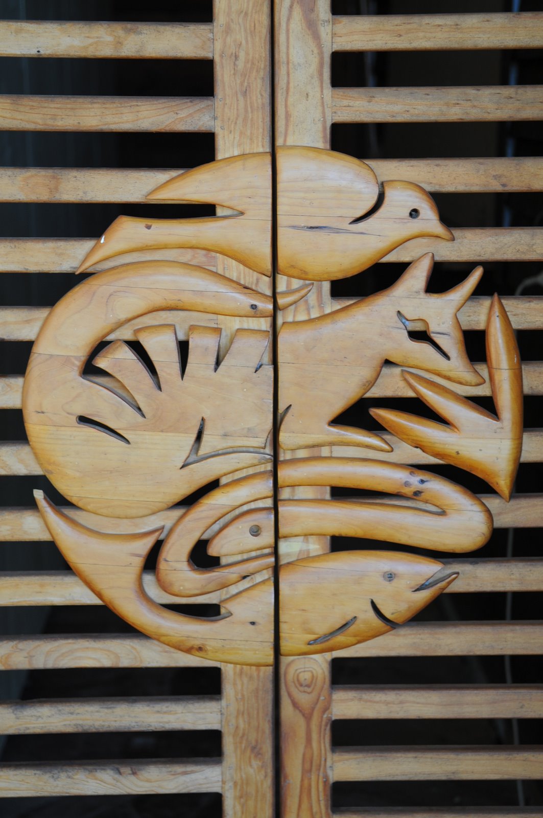
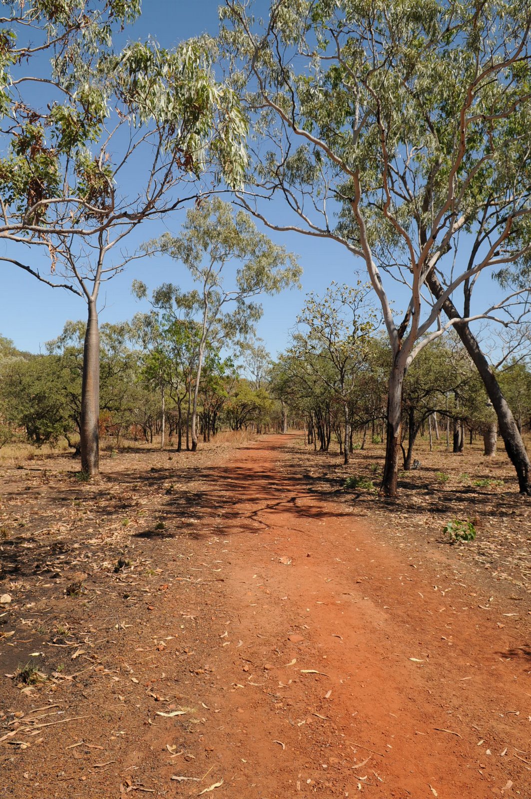
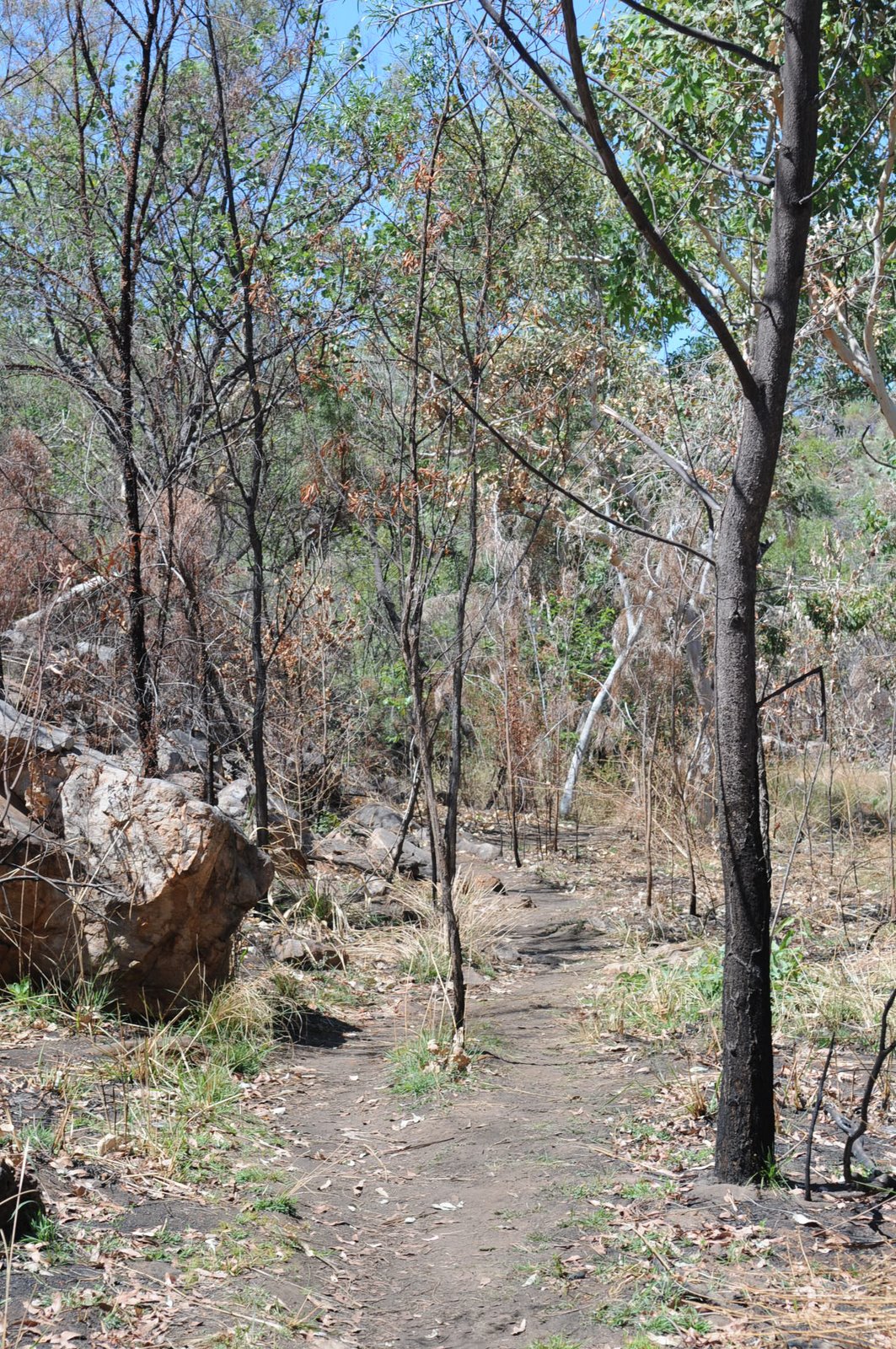
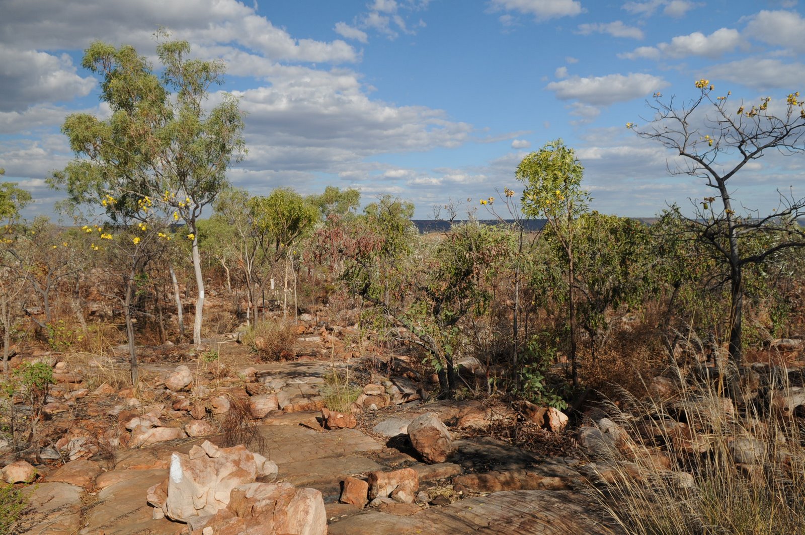
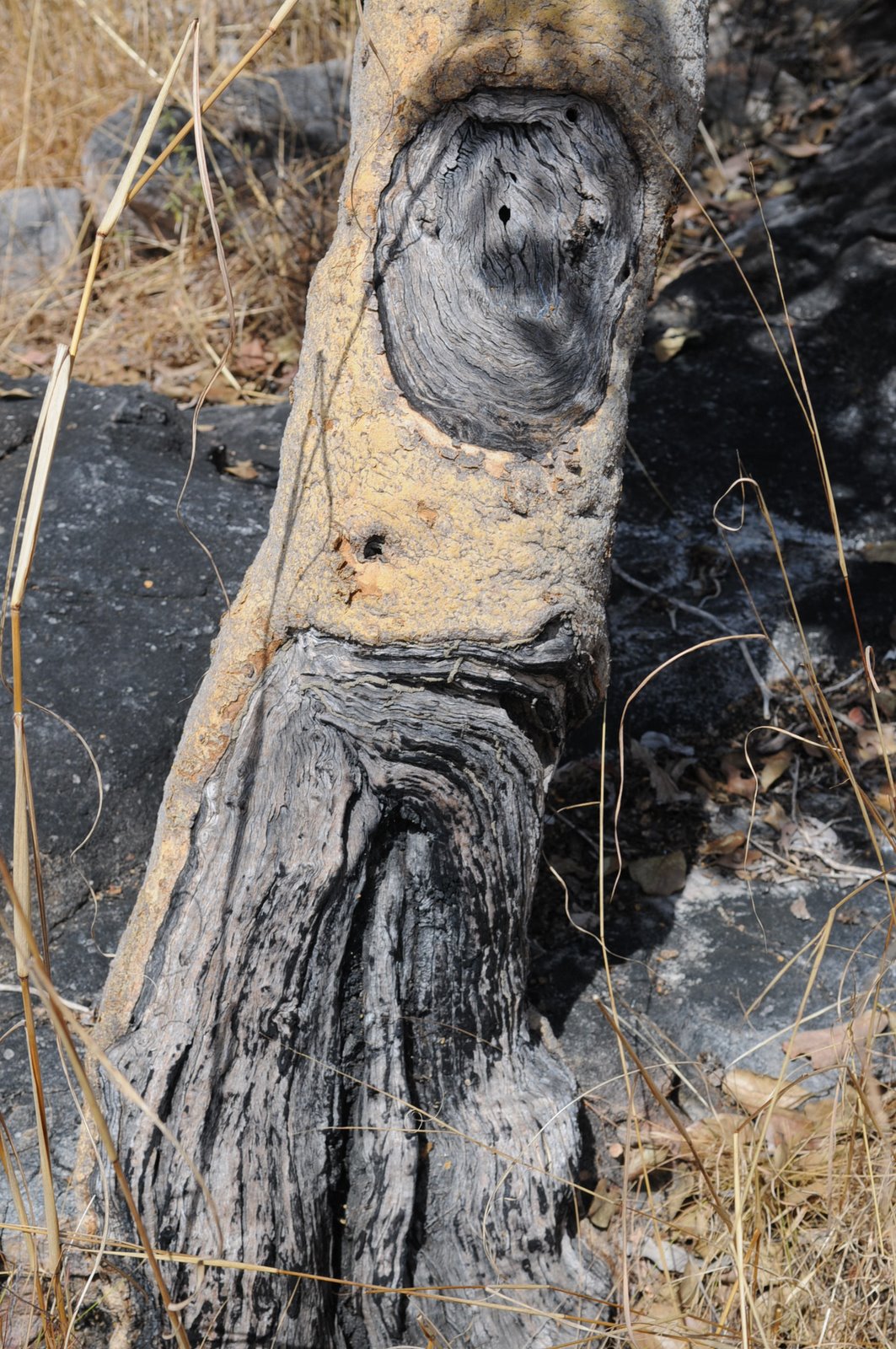
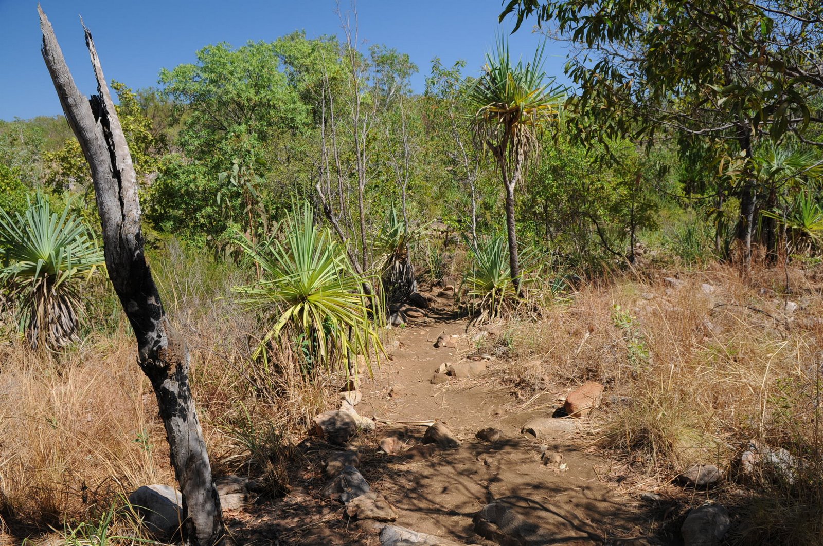
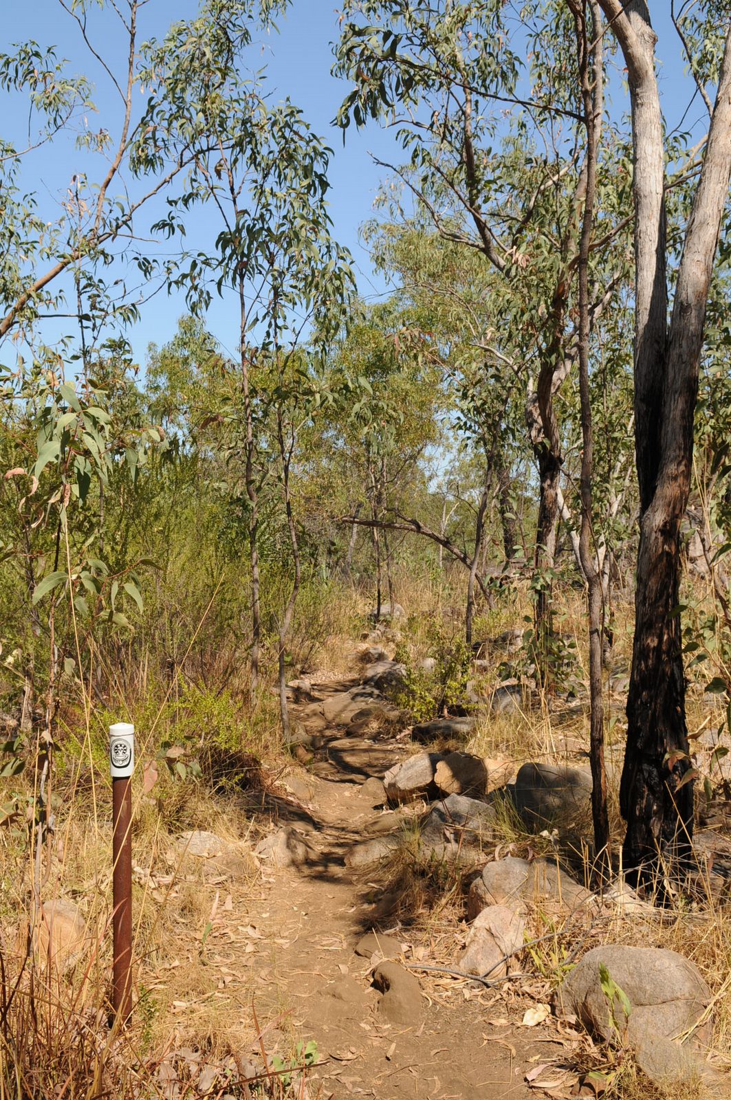
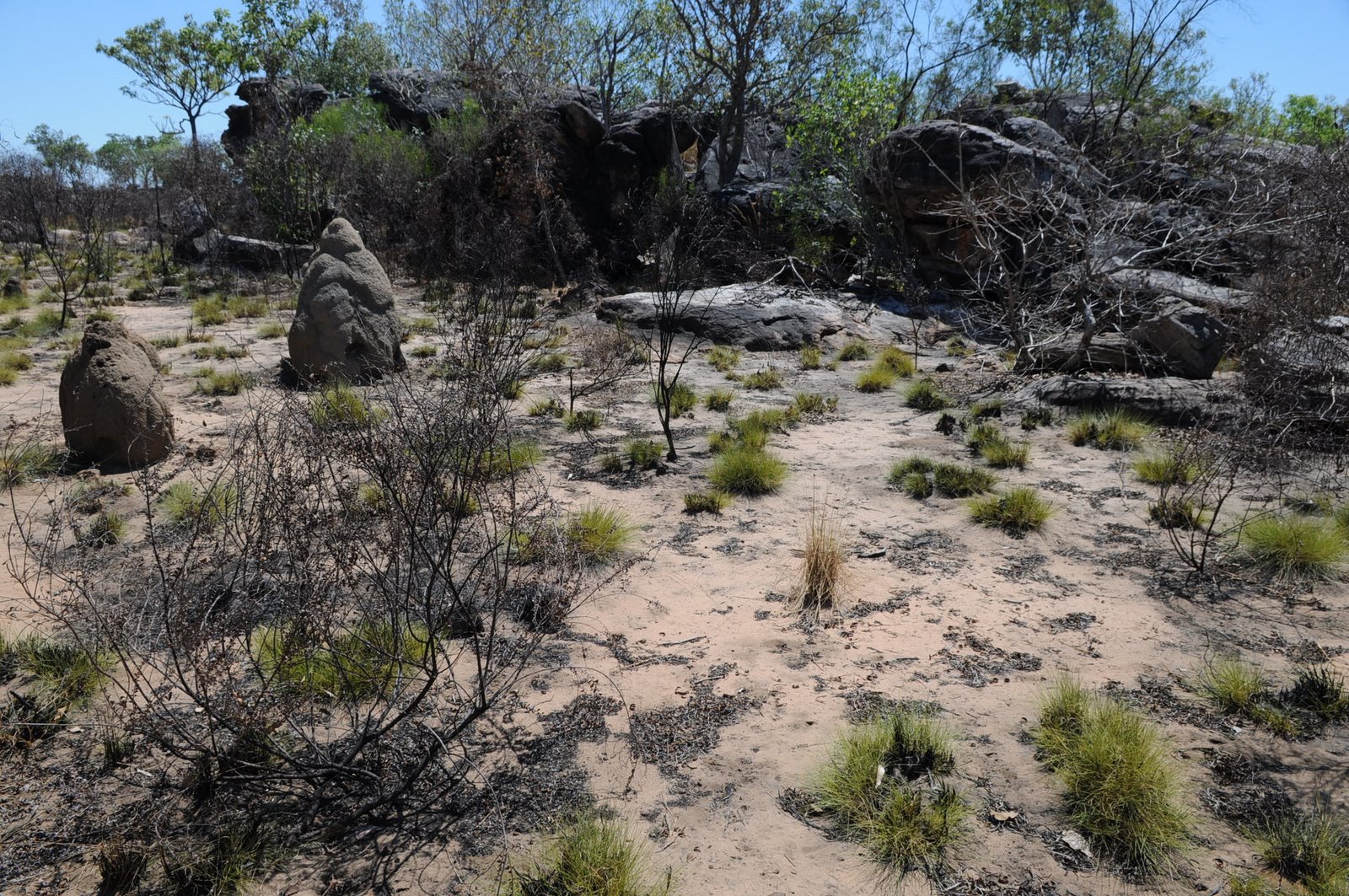
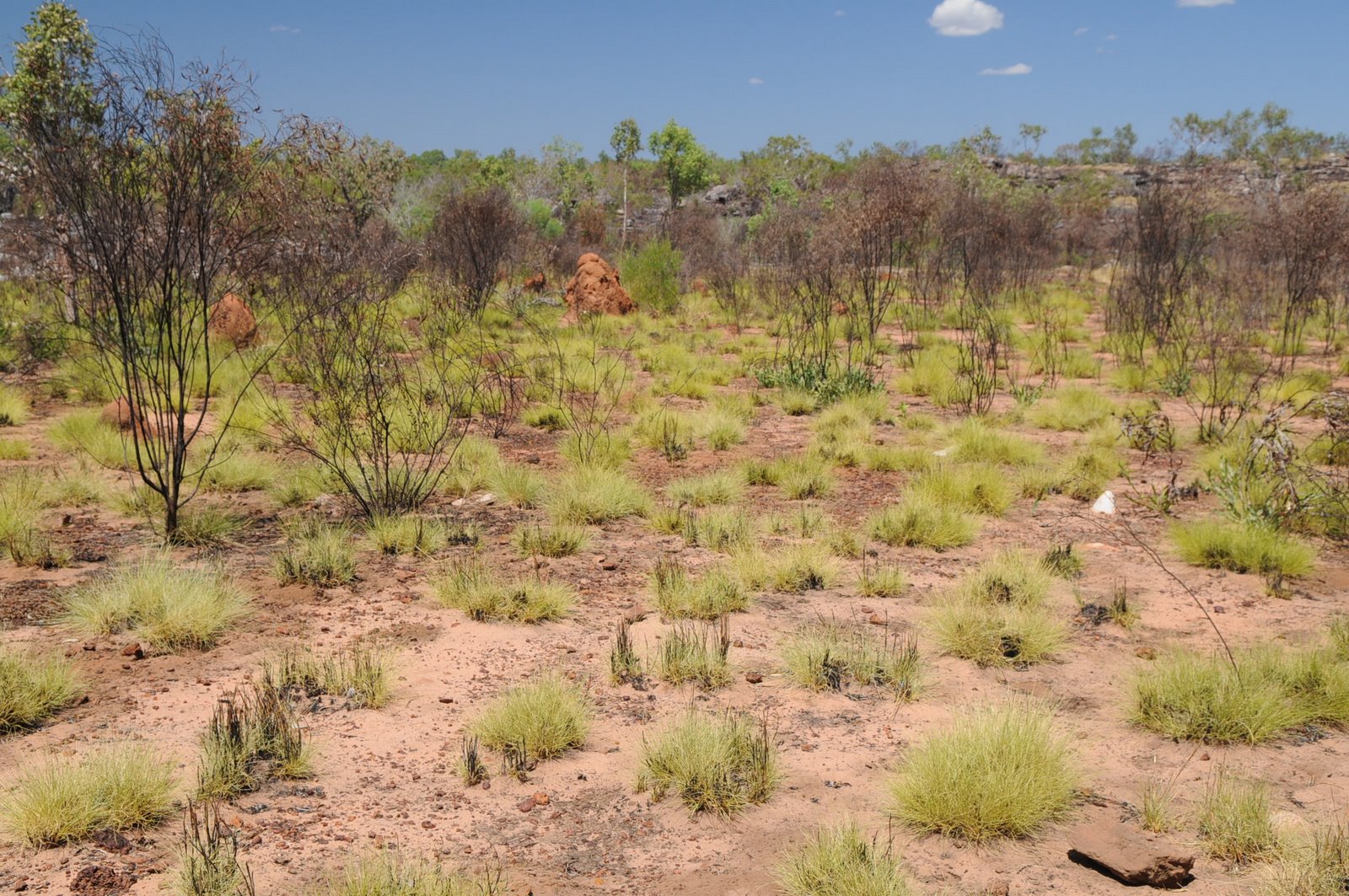
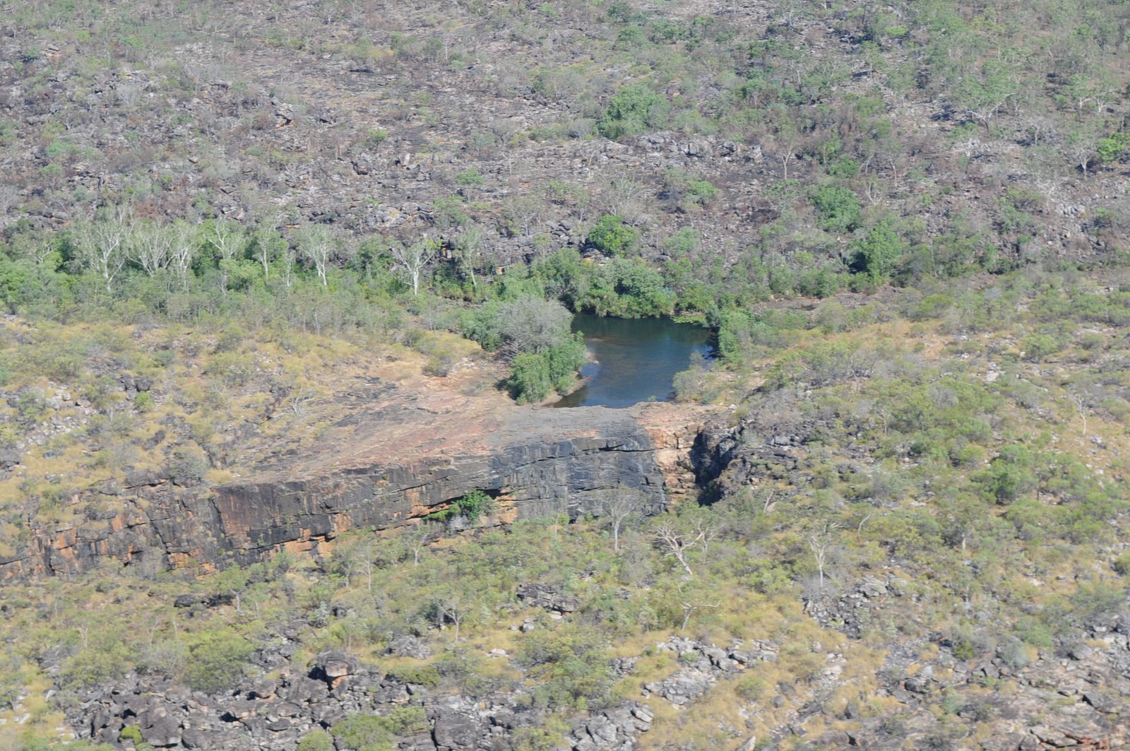
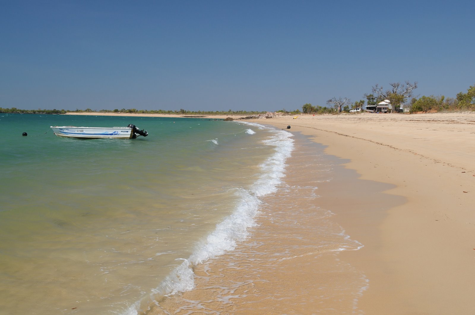
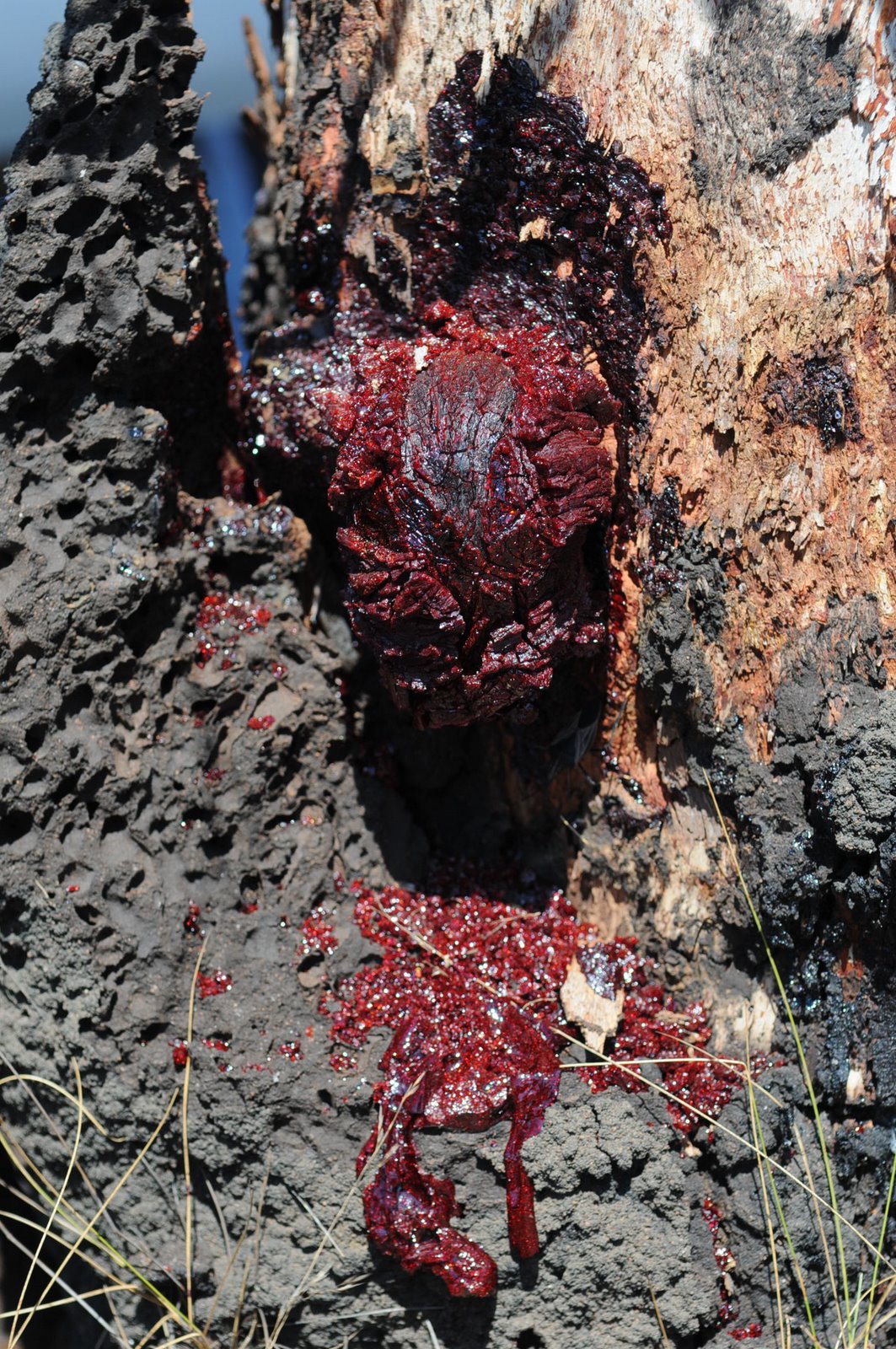
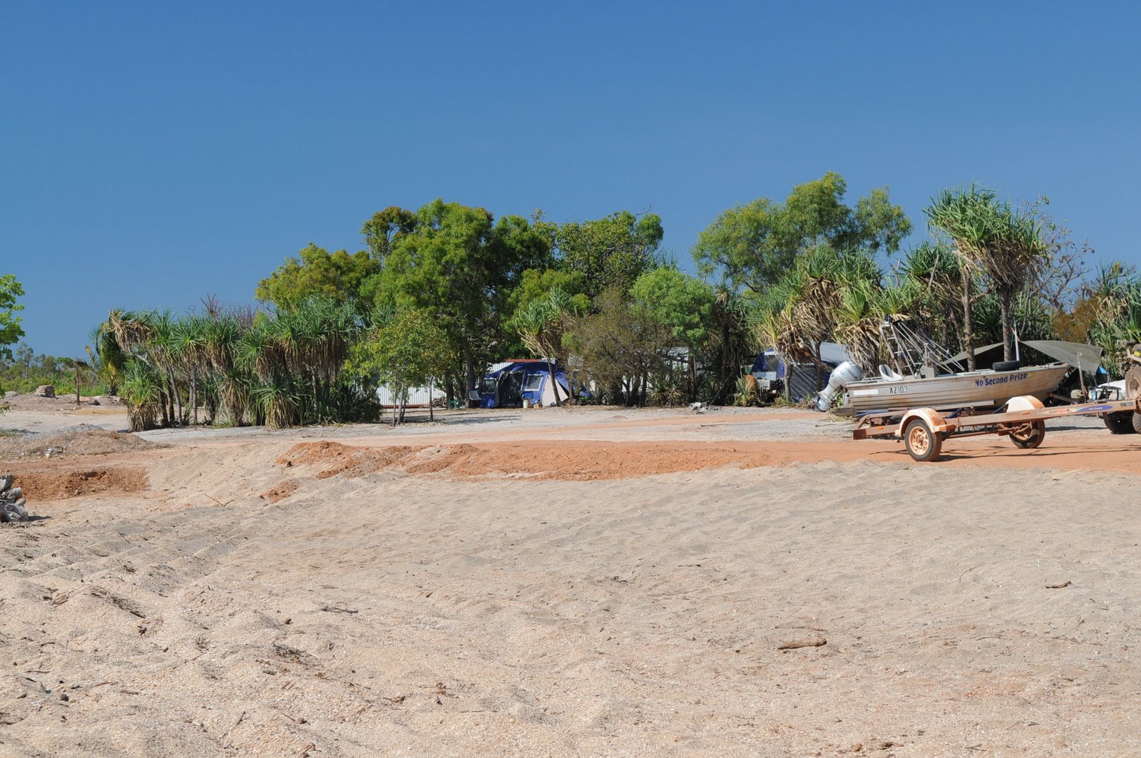
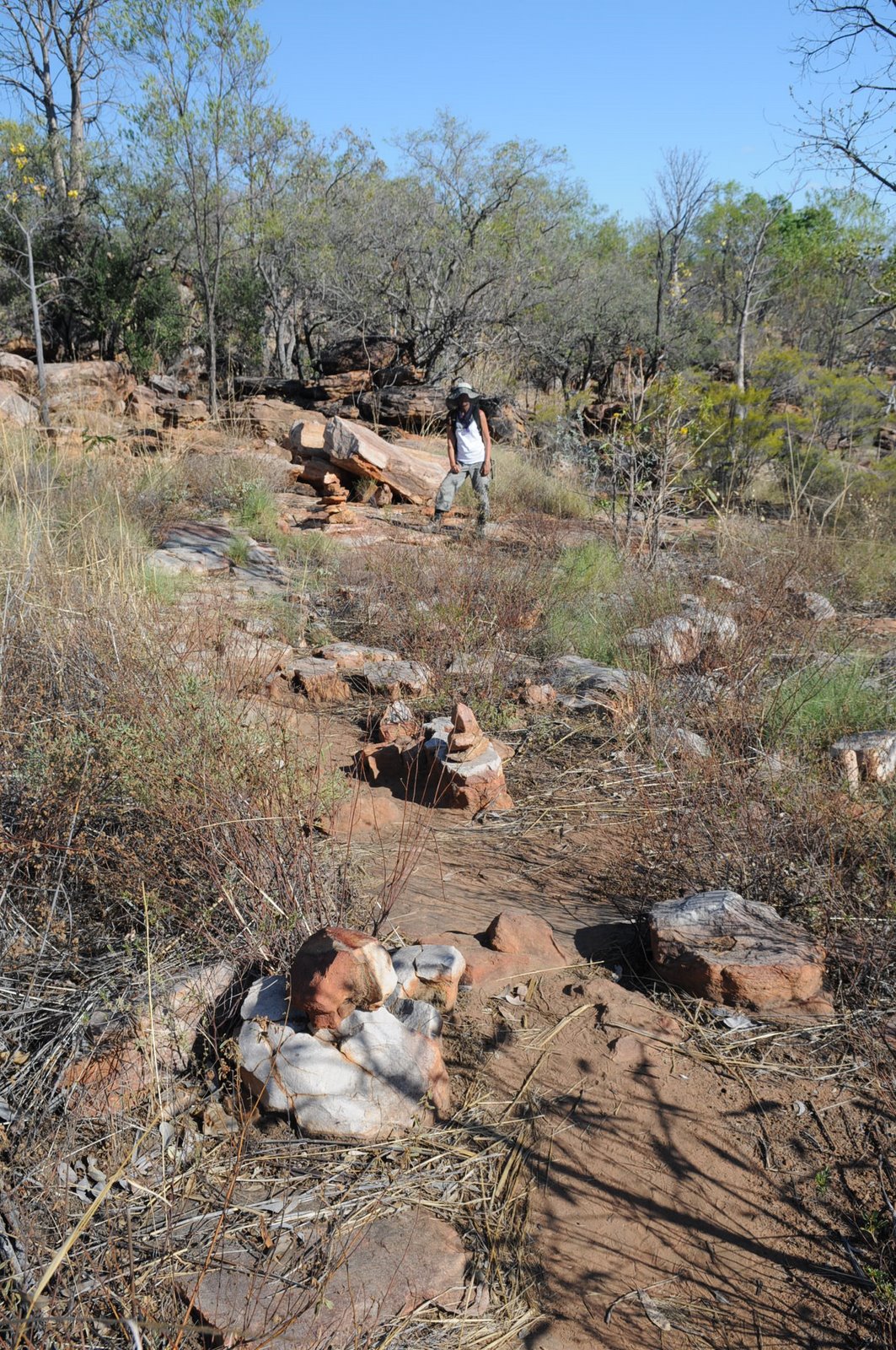
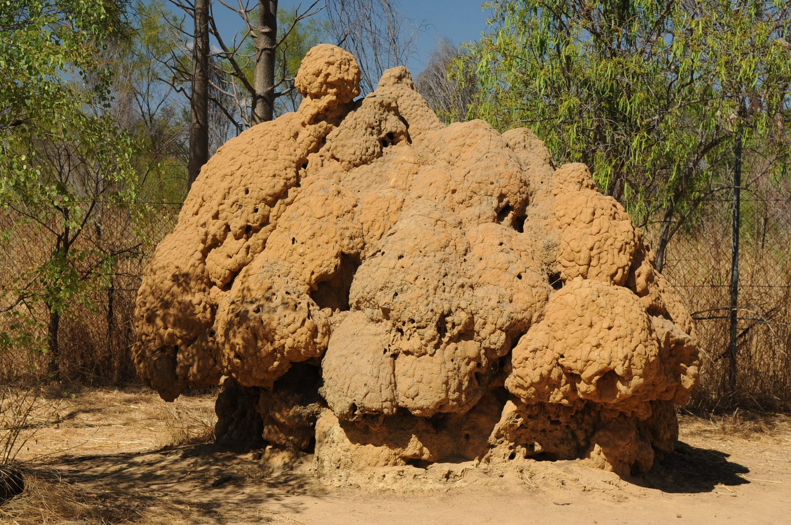
On the way back to the campsite we stopped at Bluebush for a swim in the Fitzroy and even though Mike wanted to have a swim he hadn’t planned on going in quite so quickly. He slipped in and was refreshed sooner than he though he would be. The sand was very hot and the march flies fierce so we didn’t stay too long. Our last stop for the day was to follow the Termite Trail which takes you for a walk around termite mounds to tell the story, life cycle and explanation of the termite colonies.
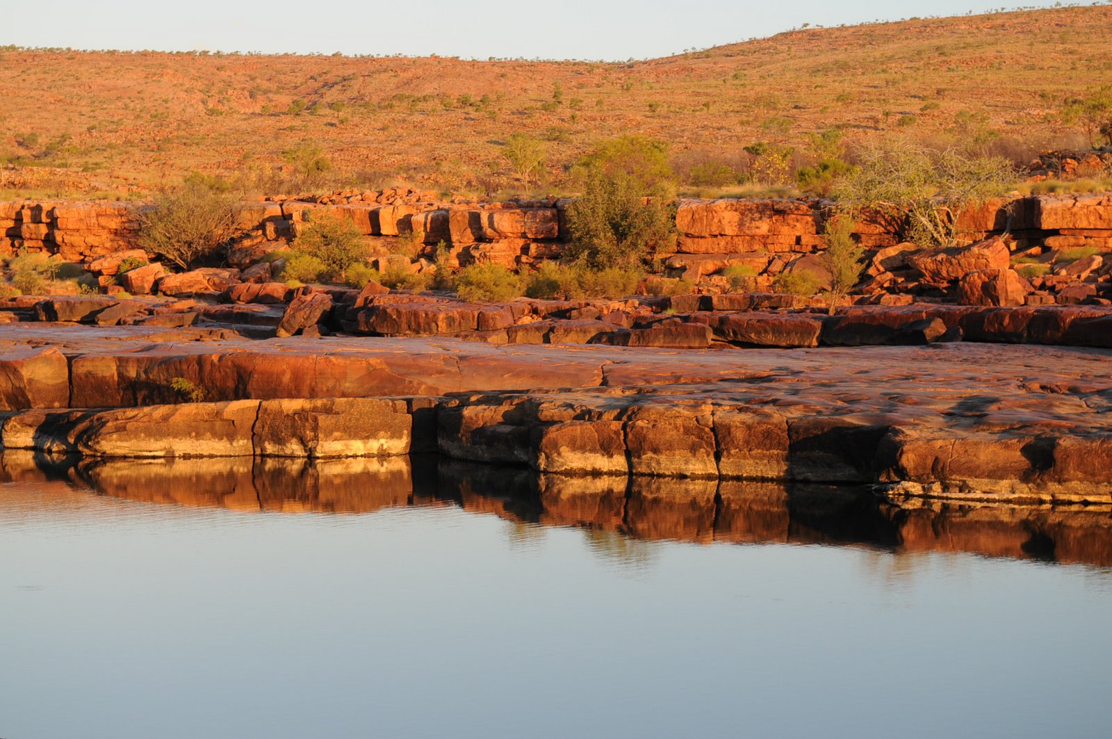
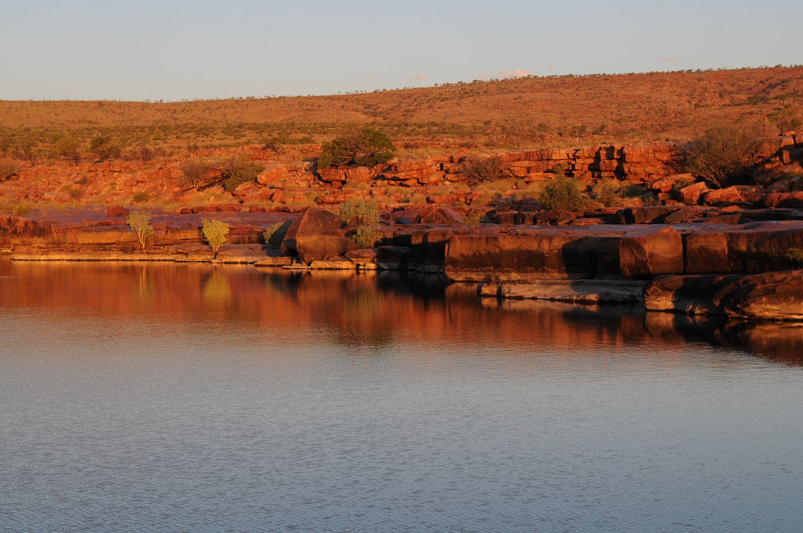
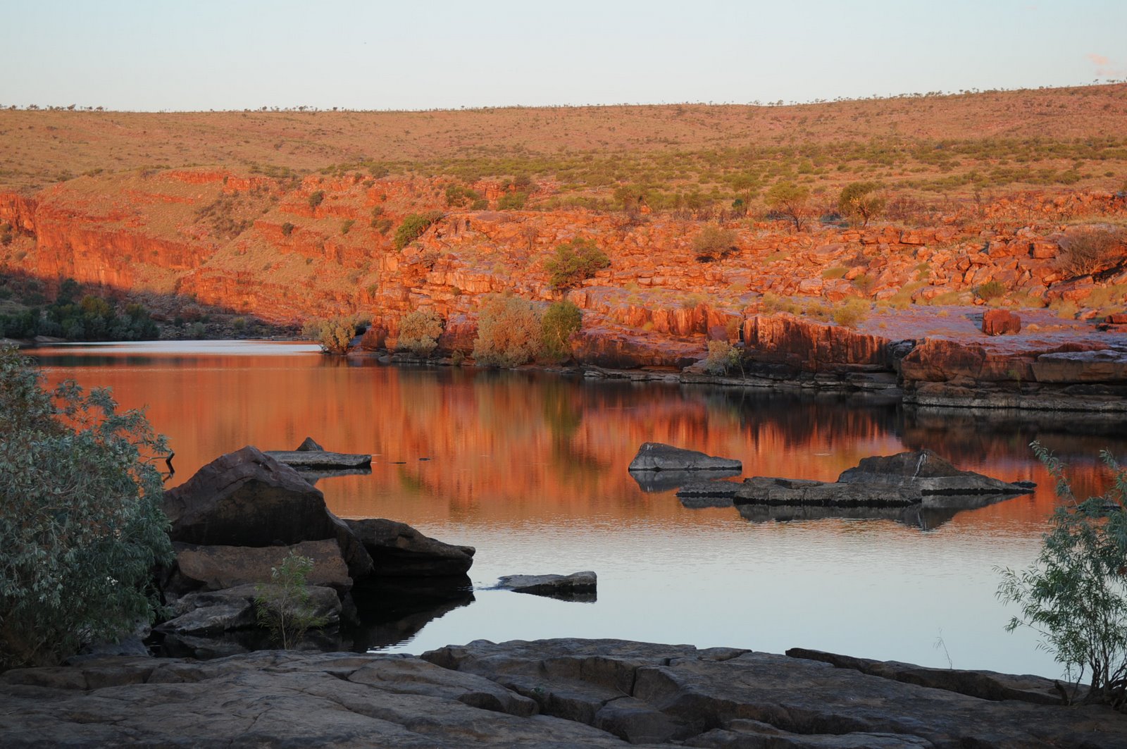
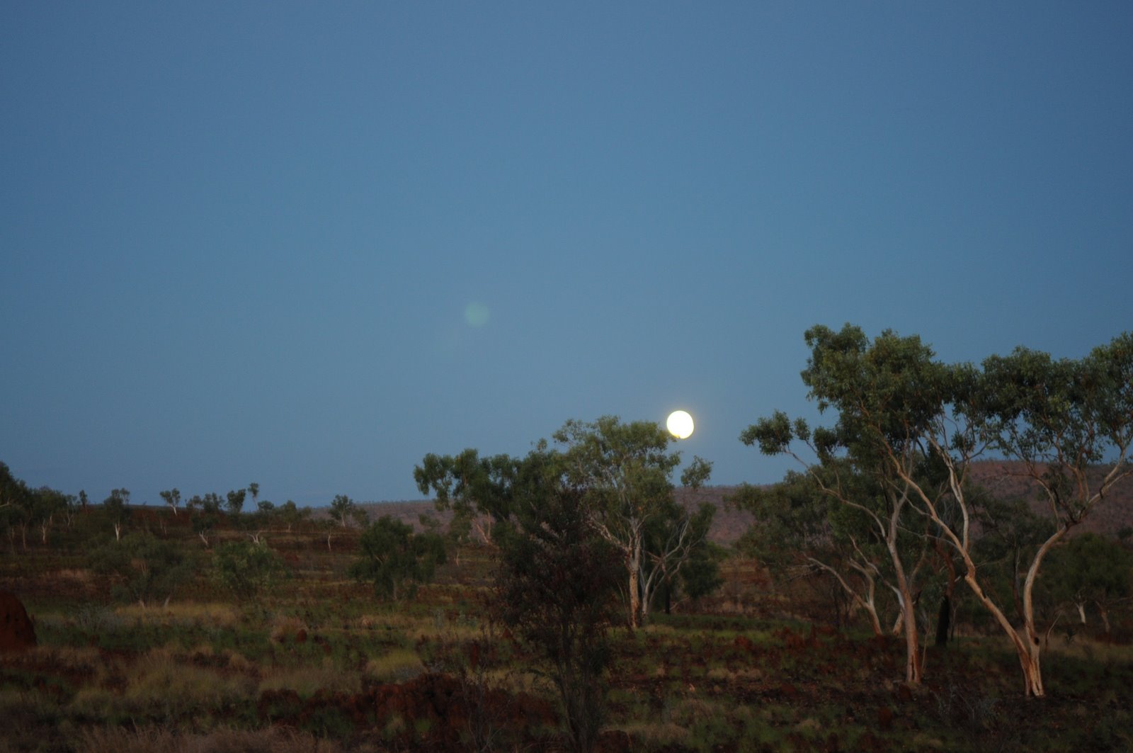
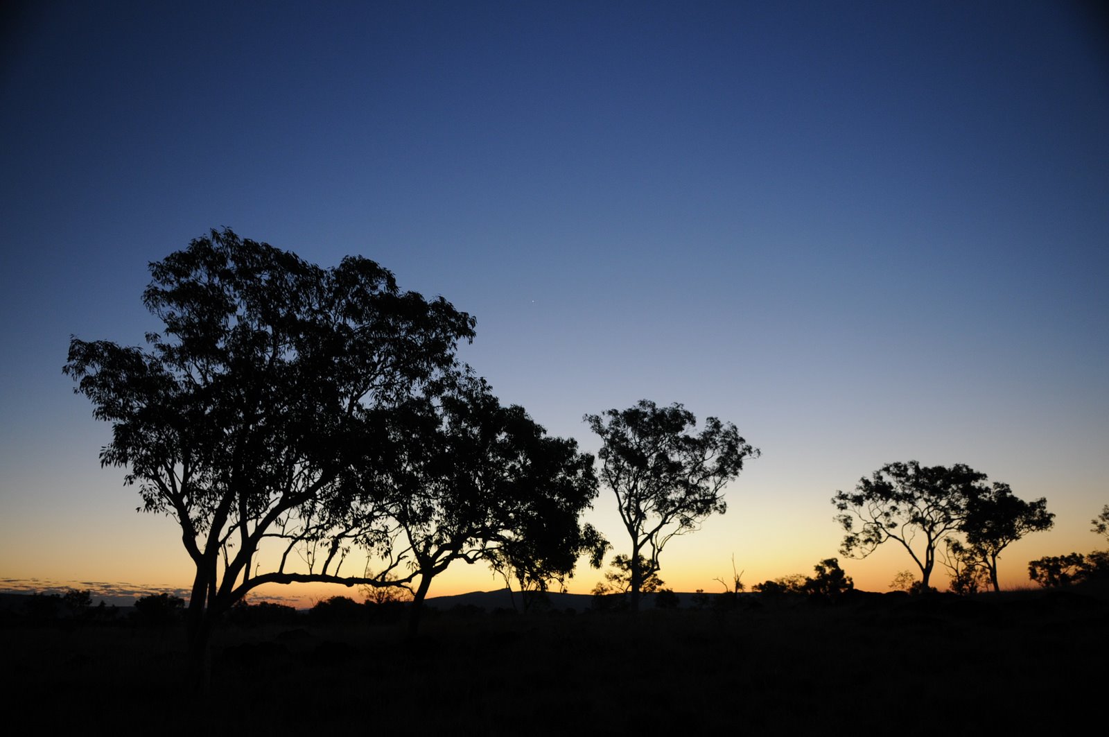
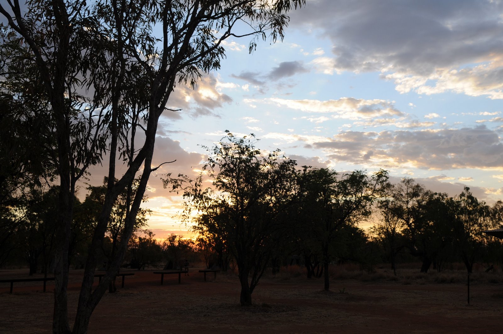
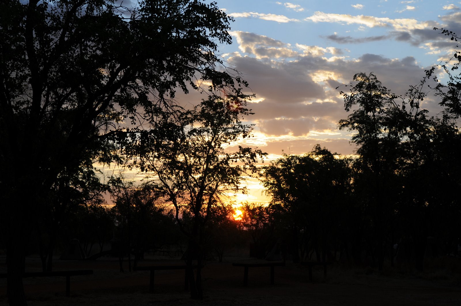
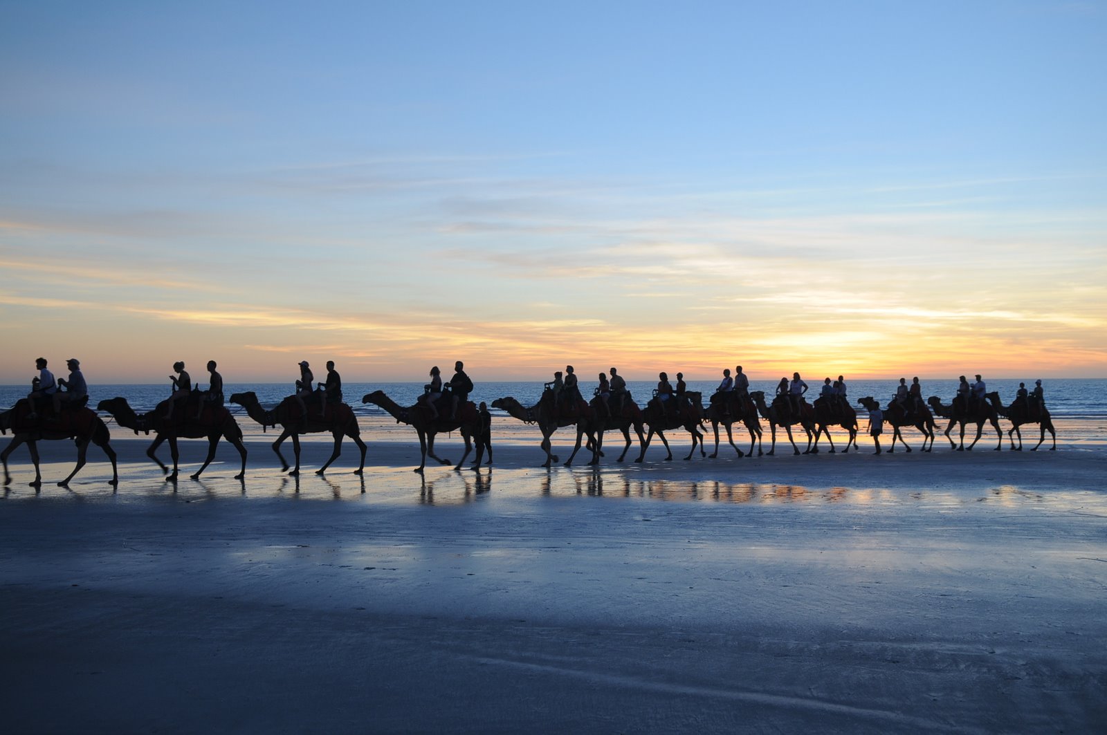
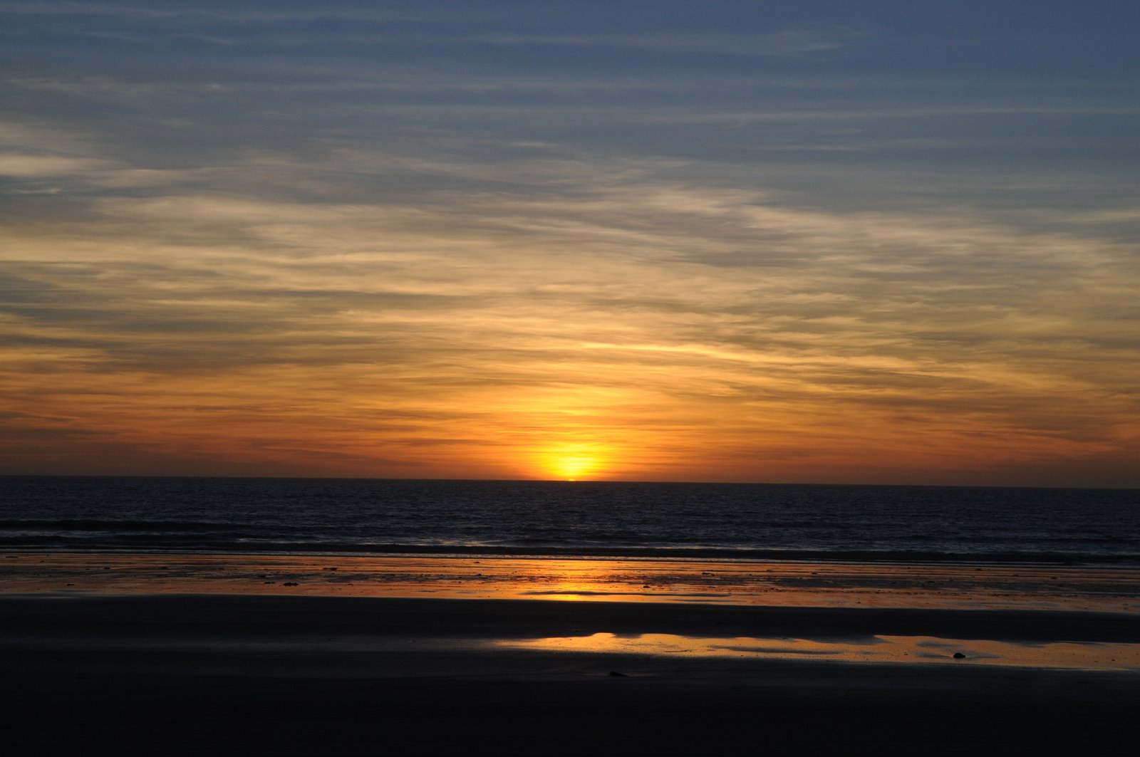
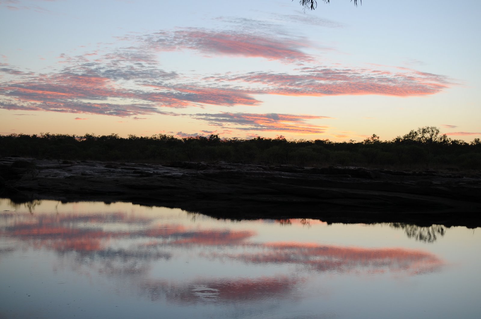
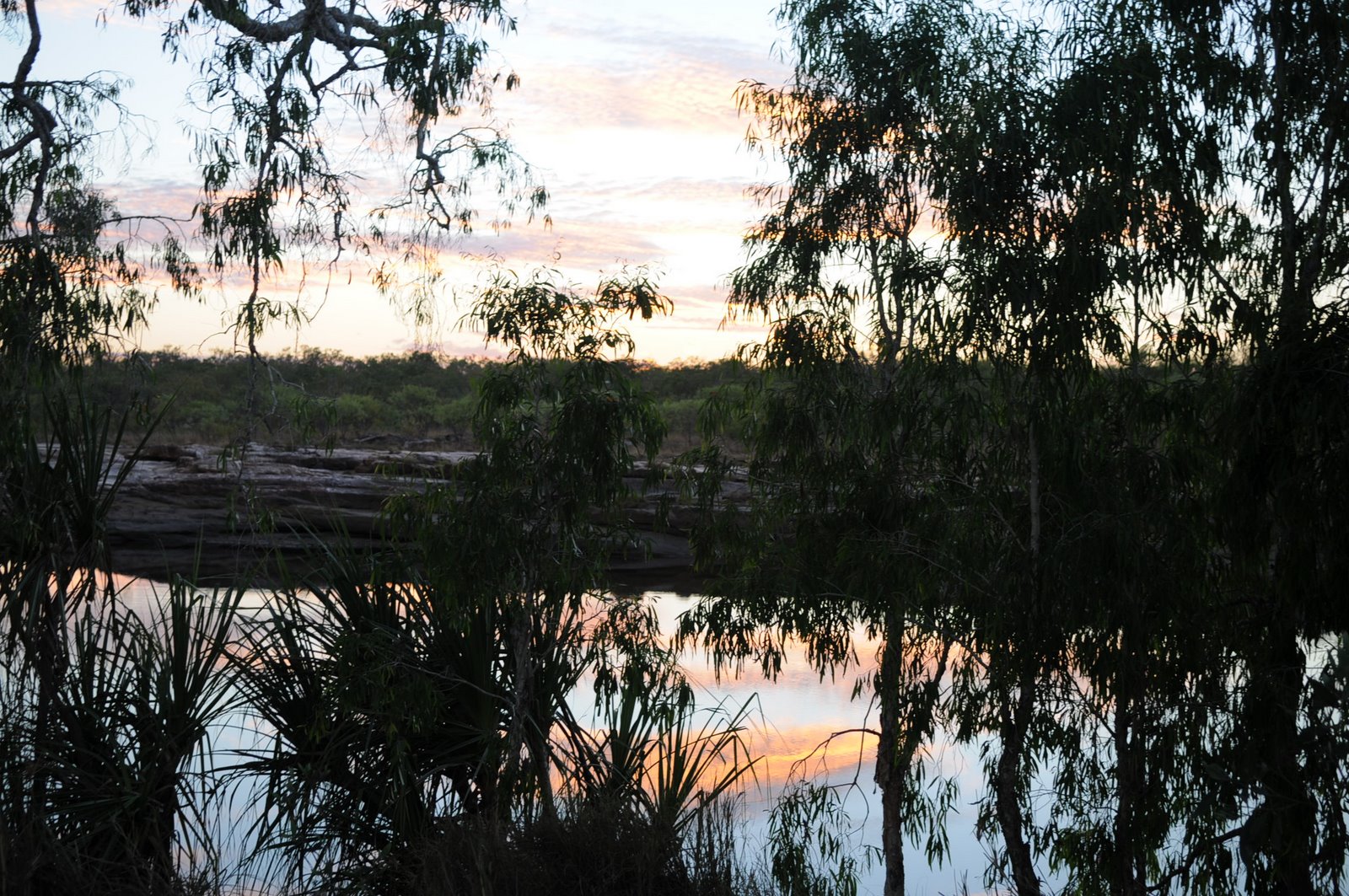
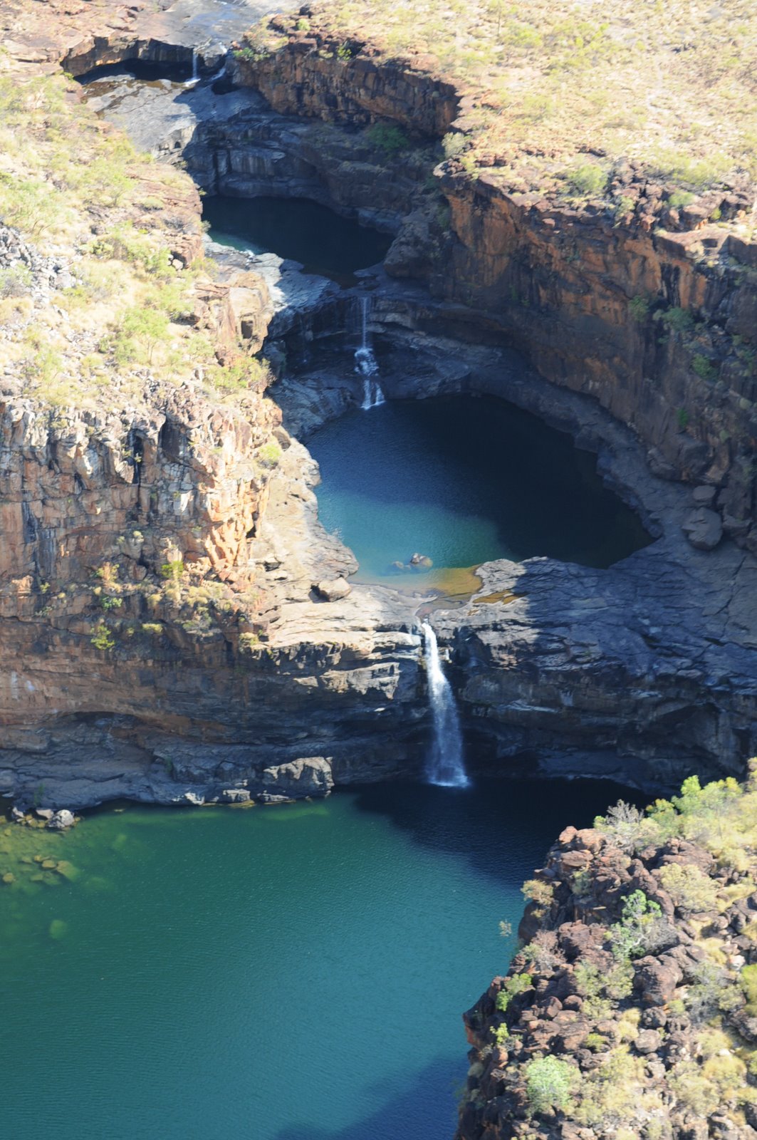
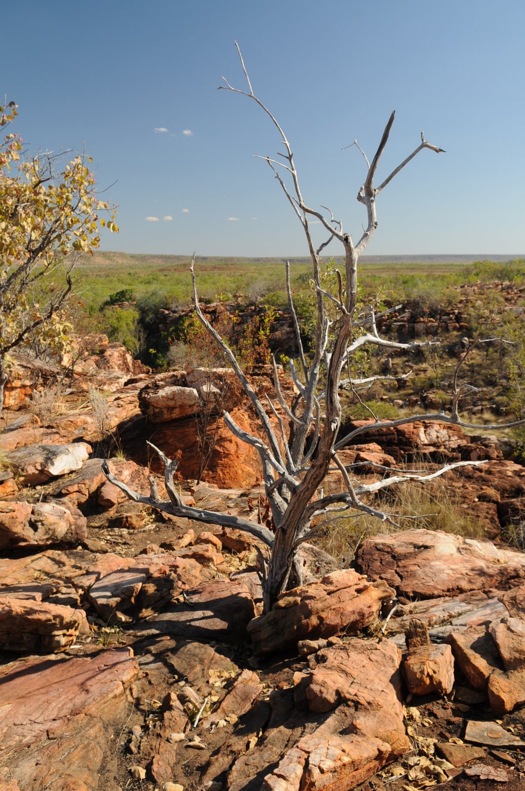
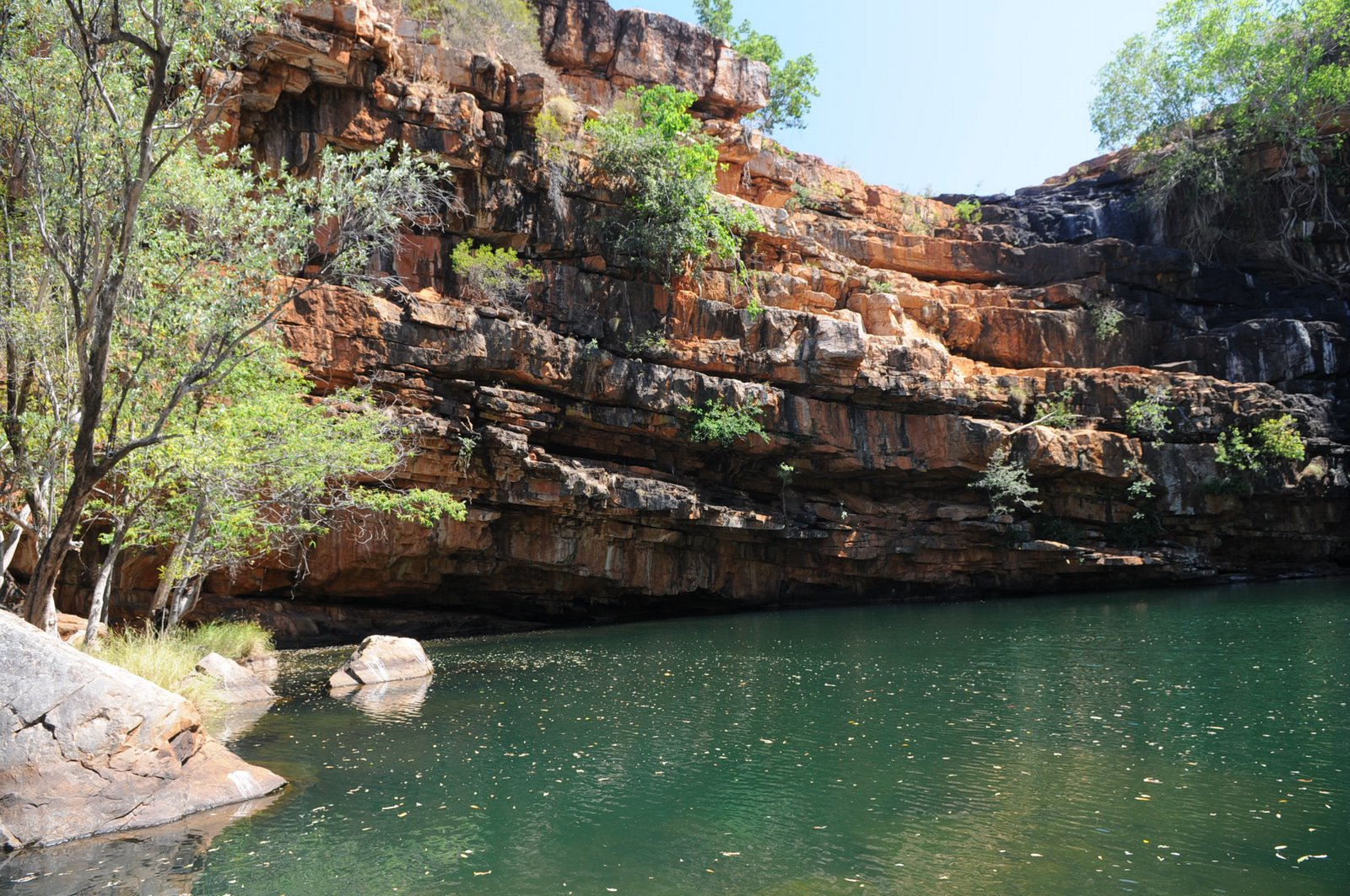
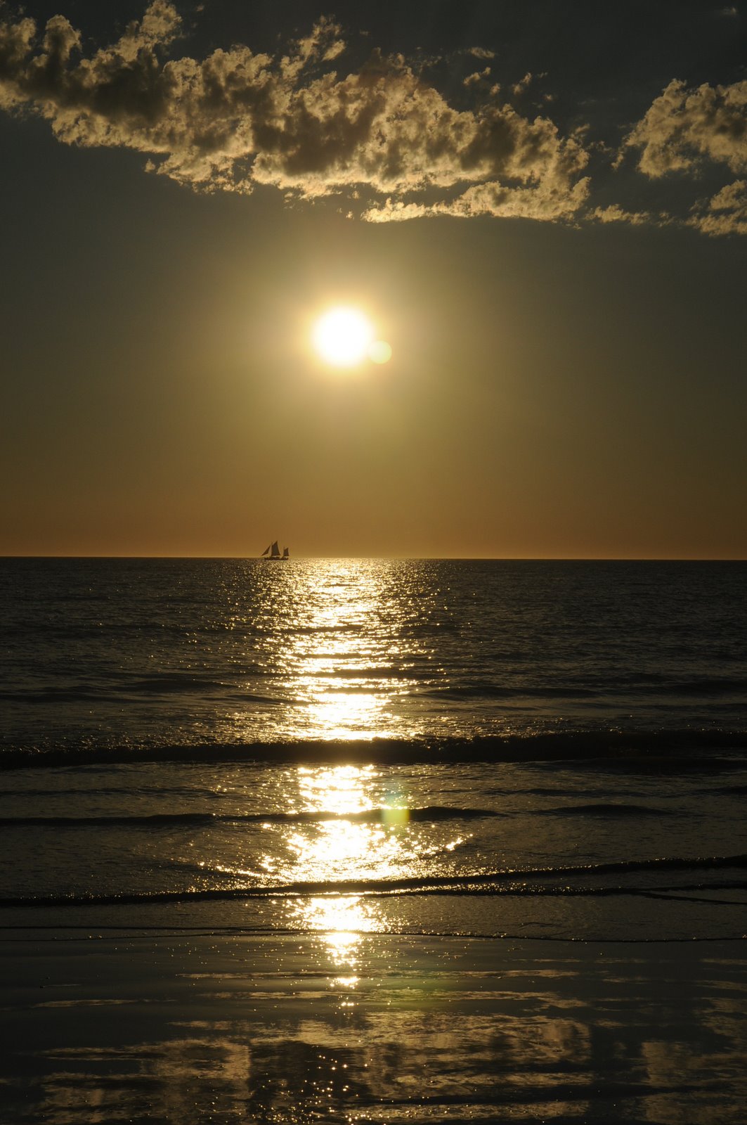
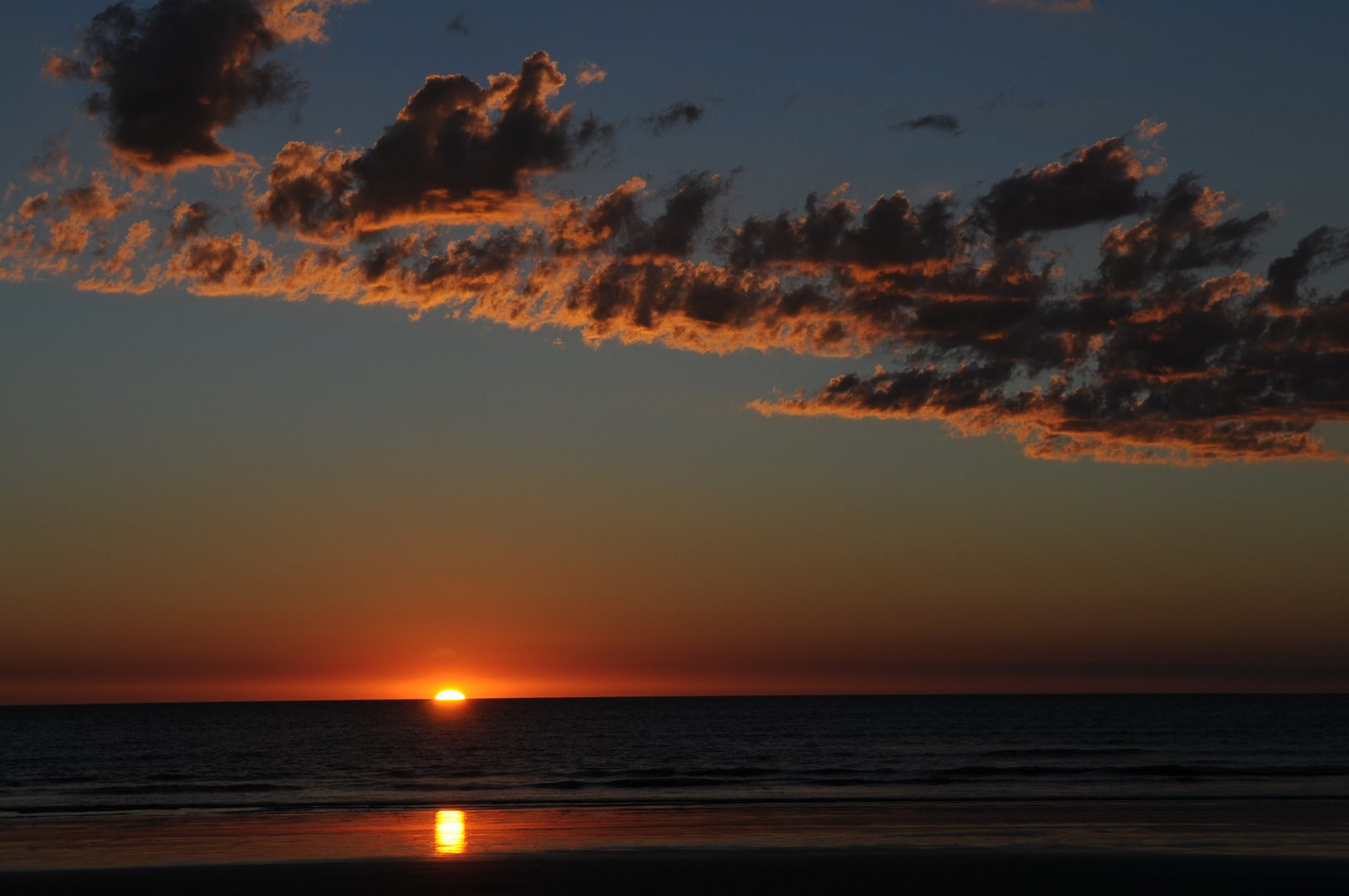
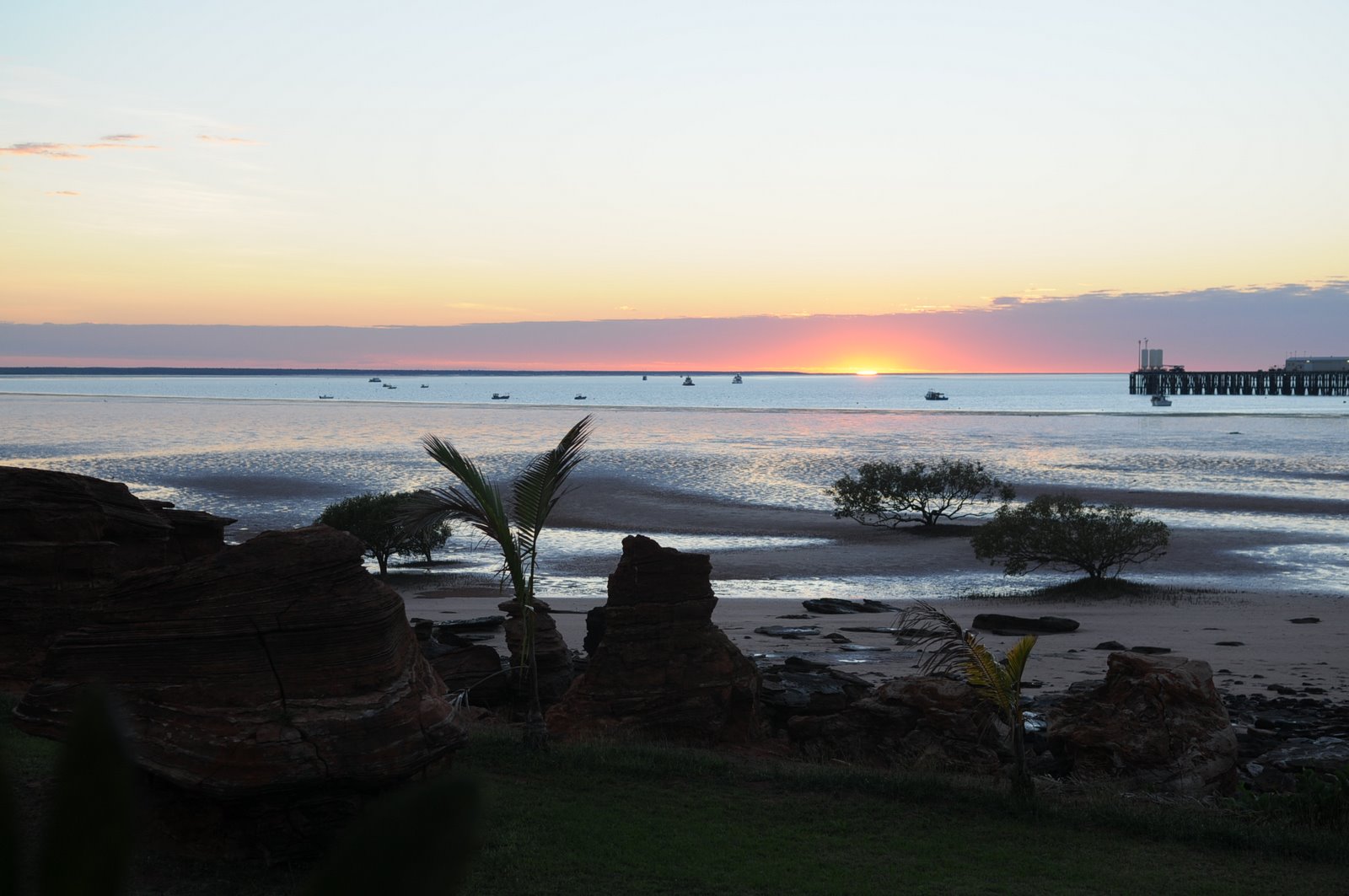
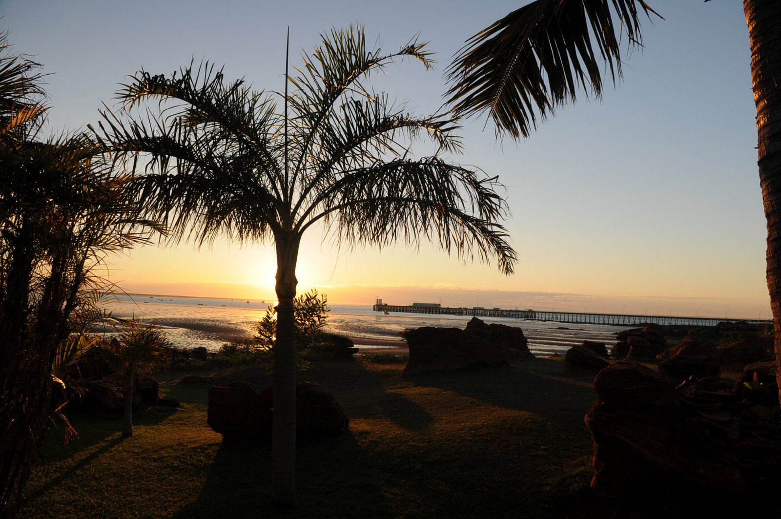
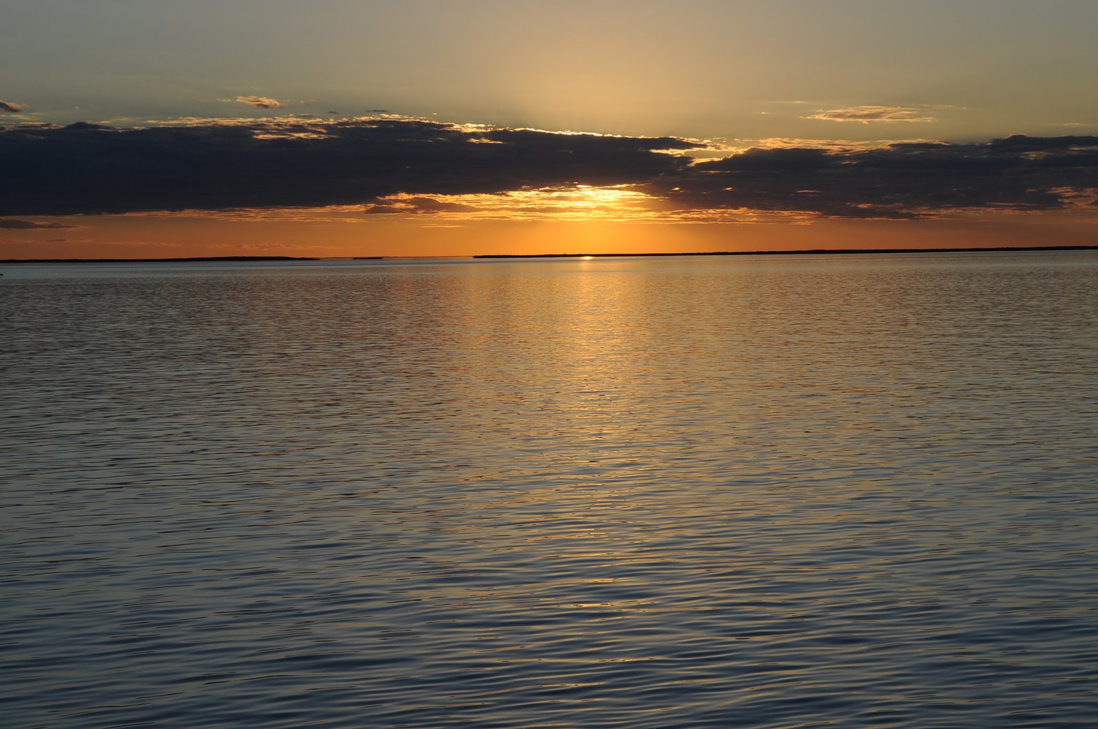
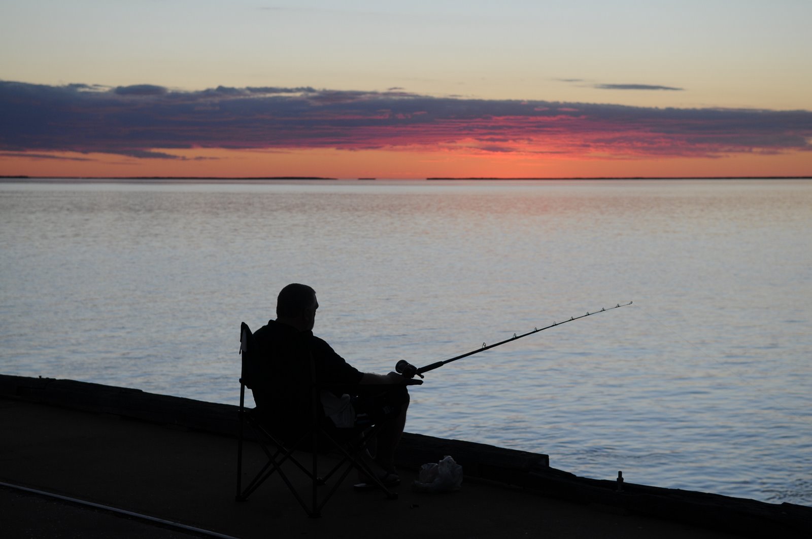
At 4.30pm that afternoon we headed back to Sir John Gorge to see the sunset over the rocks. The sunset was absolutely magnificent and well worth the return journey. The colours were alive with orange, purple and pink.
We didn’t stay to see the moon rise but stopped on the way back to watch it come over the cliffs.
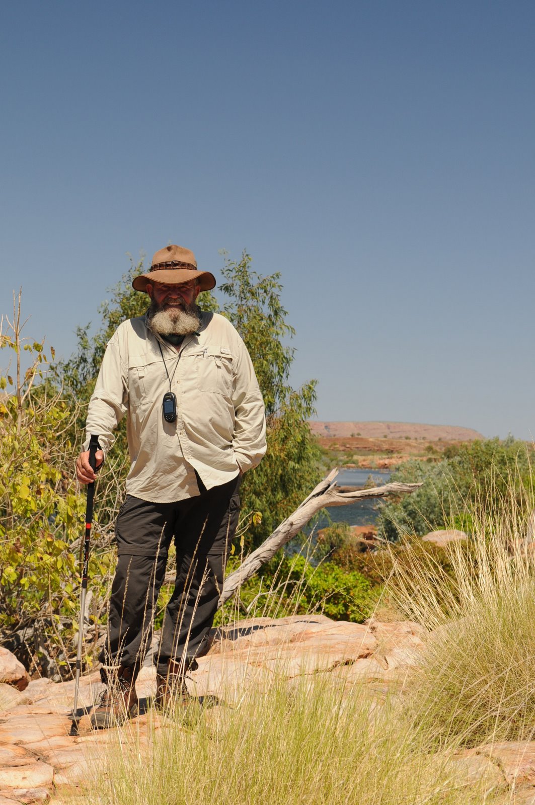
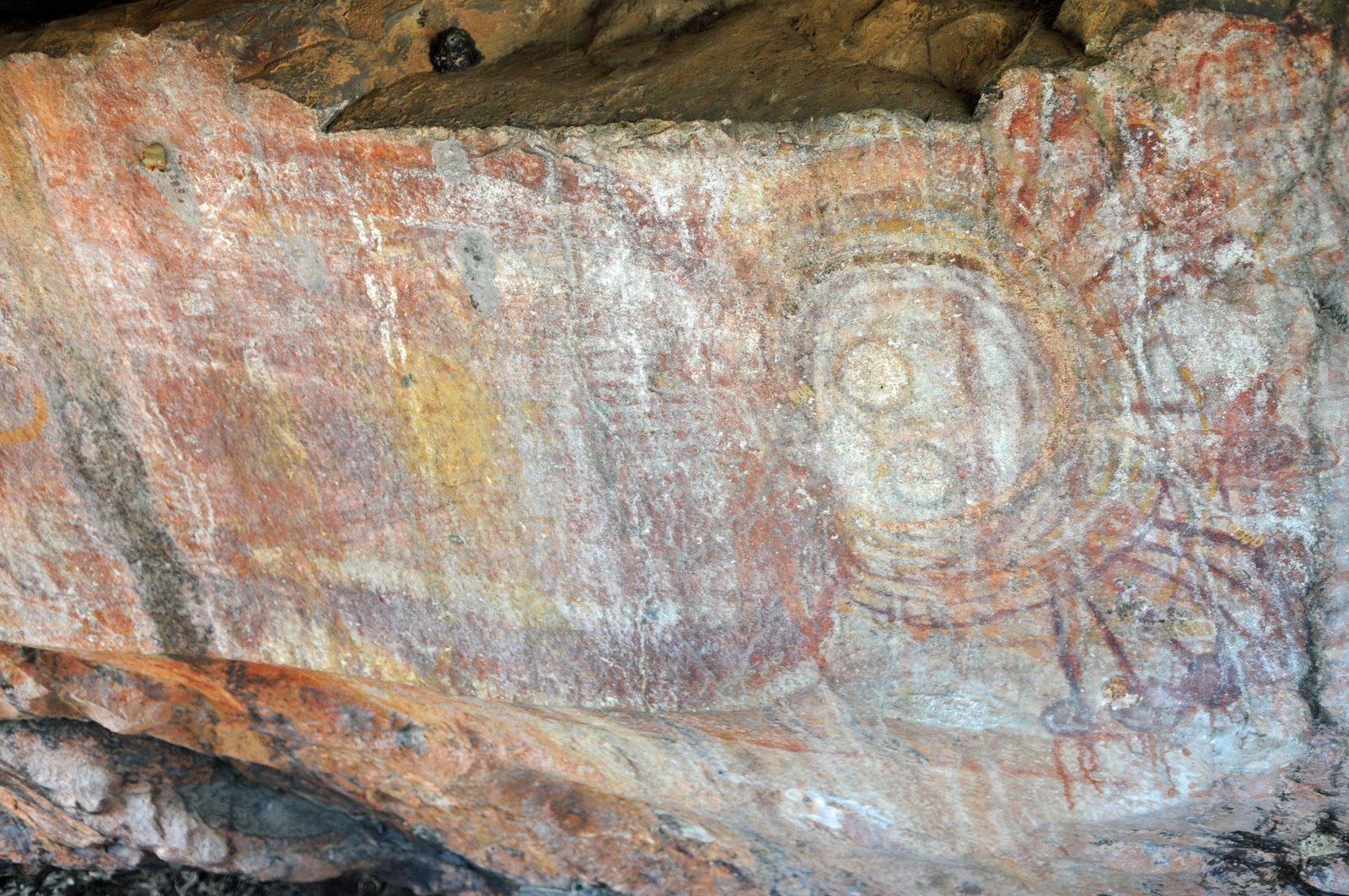
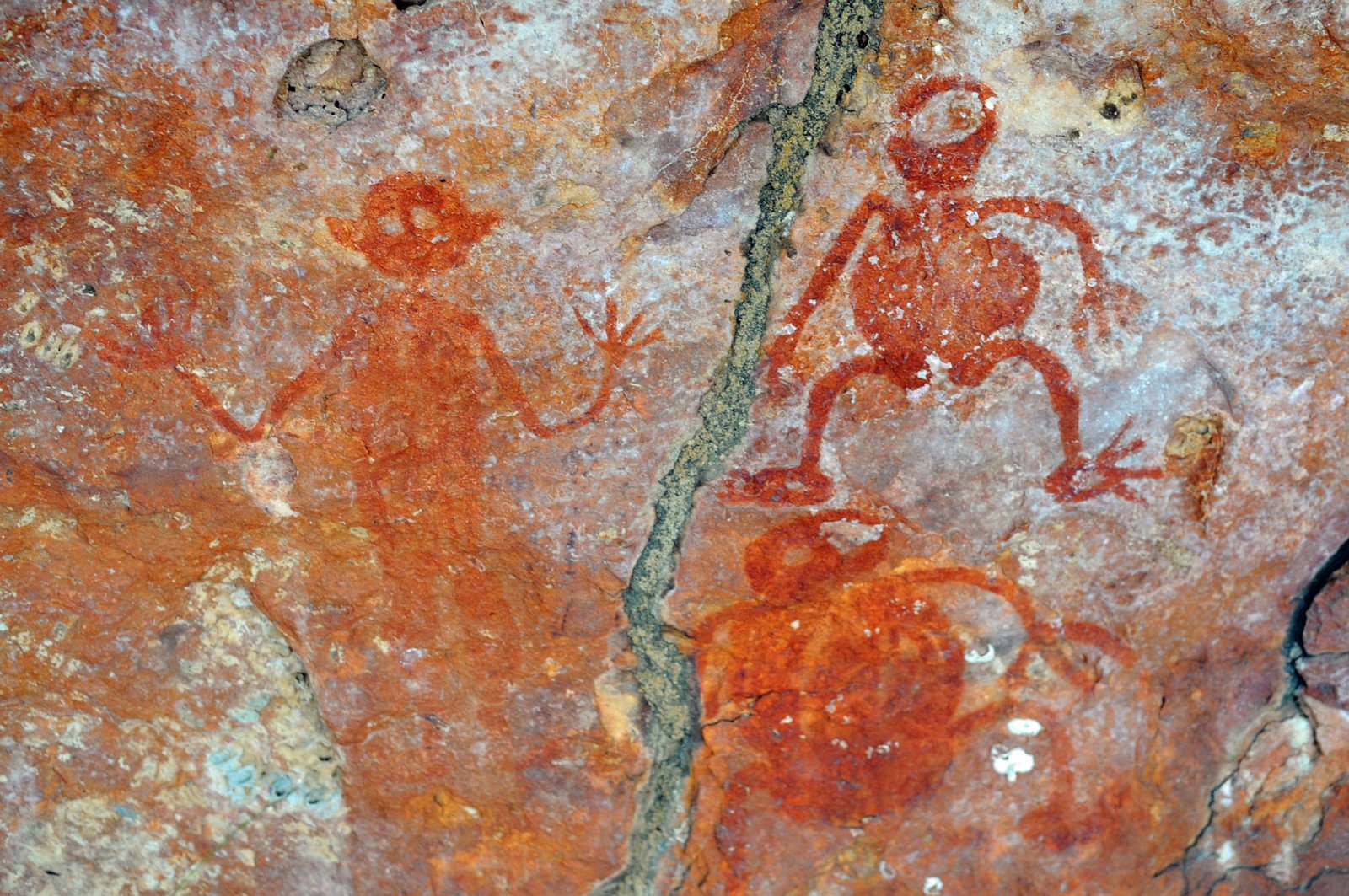
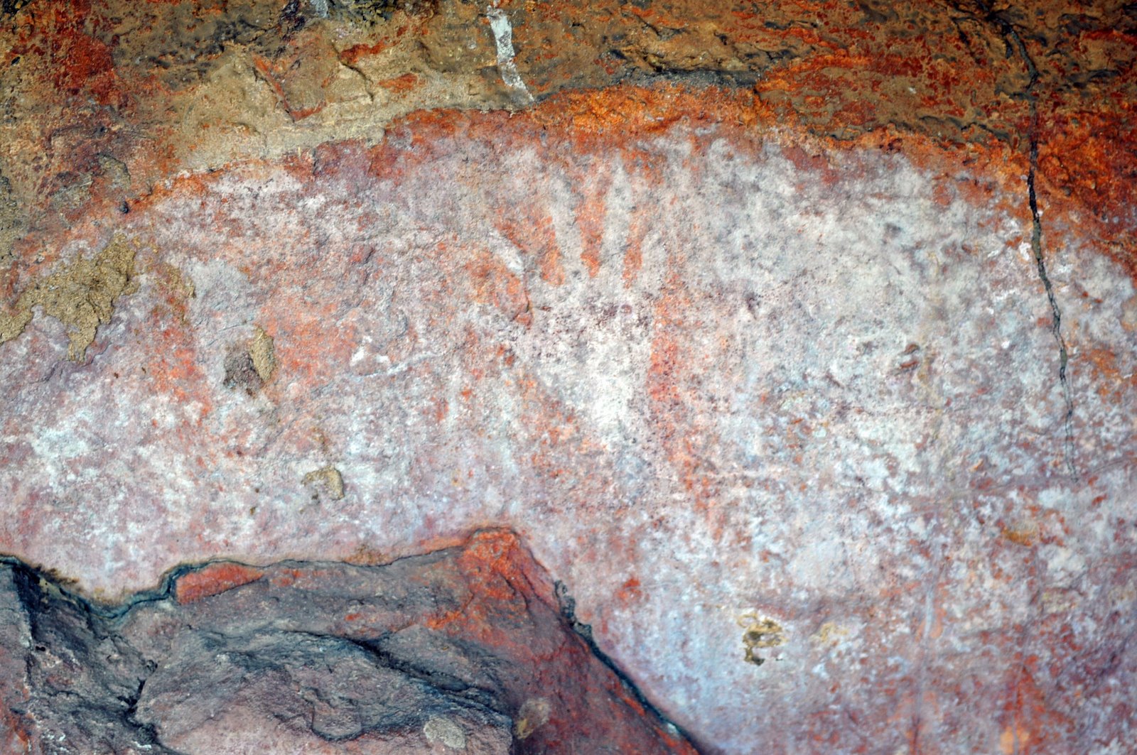
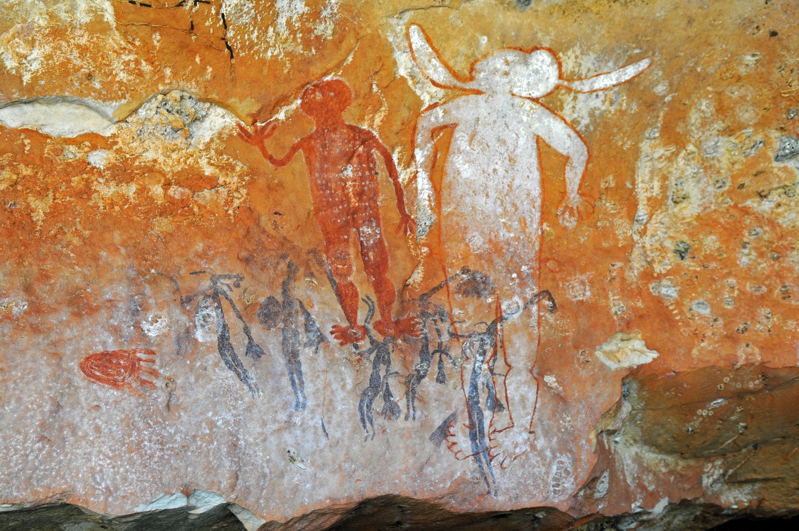
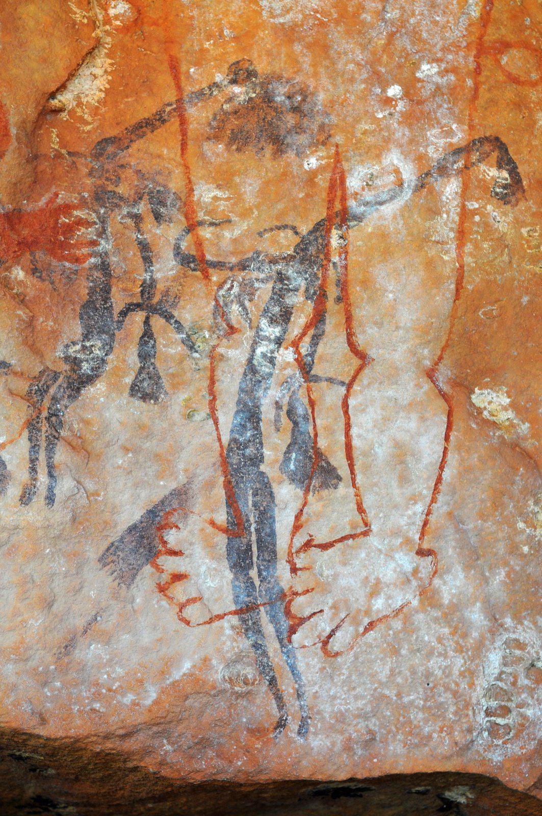
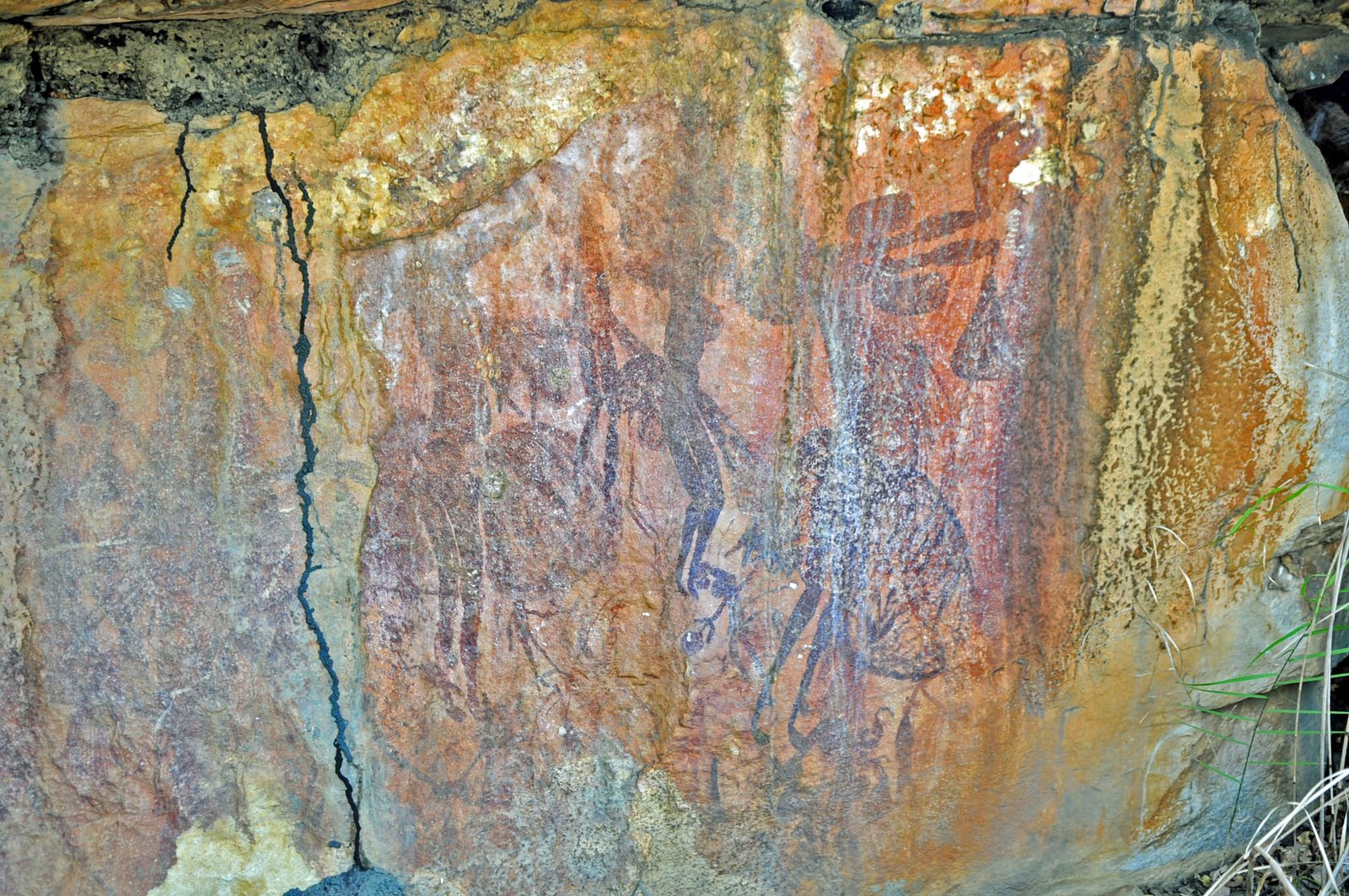
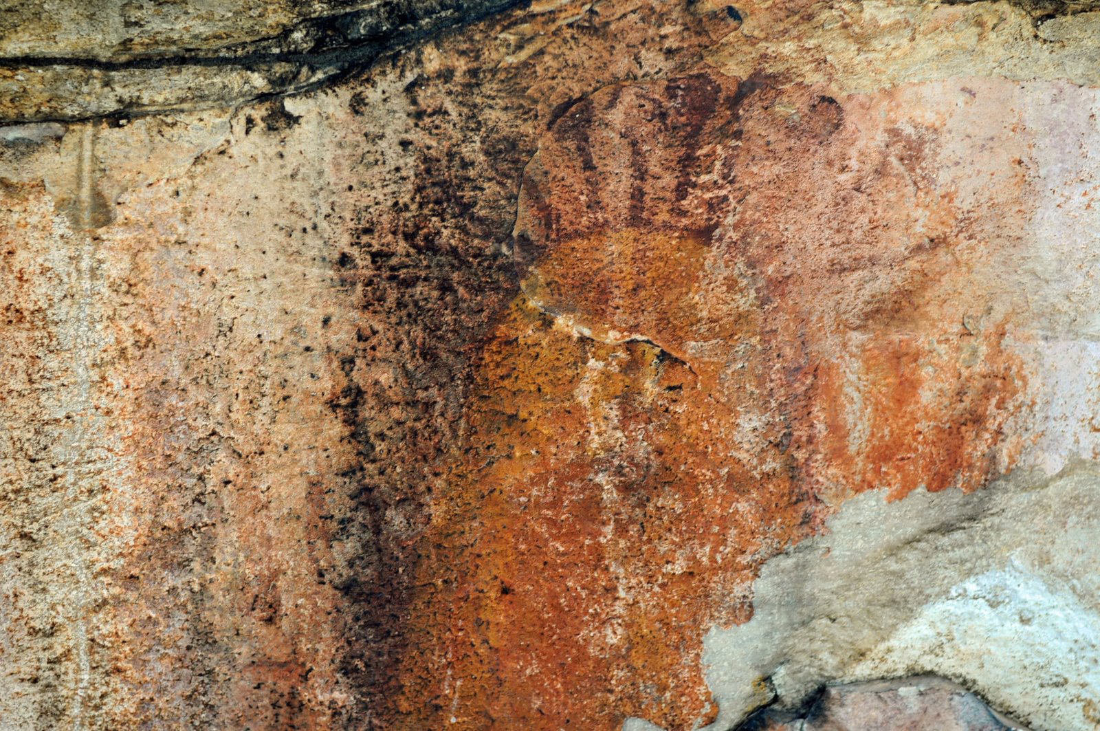
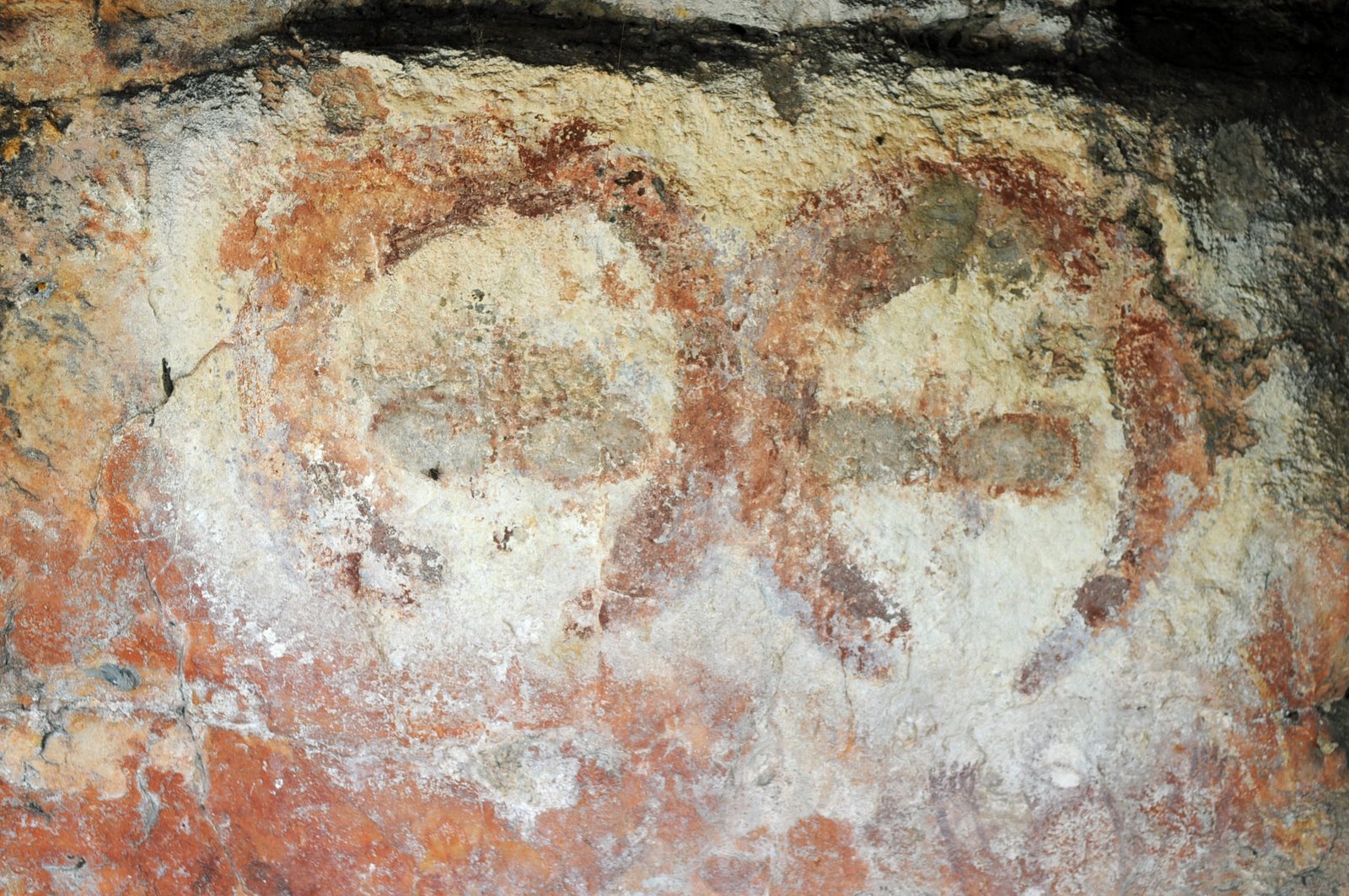
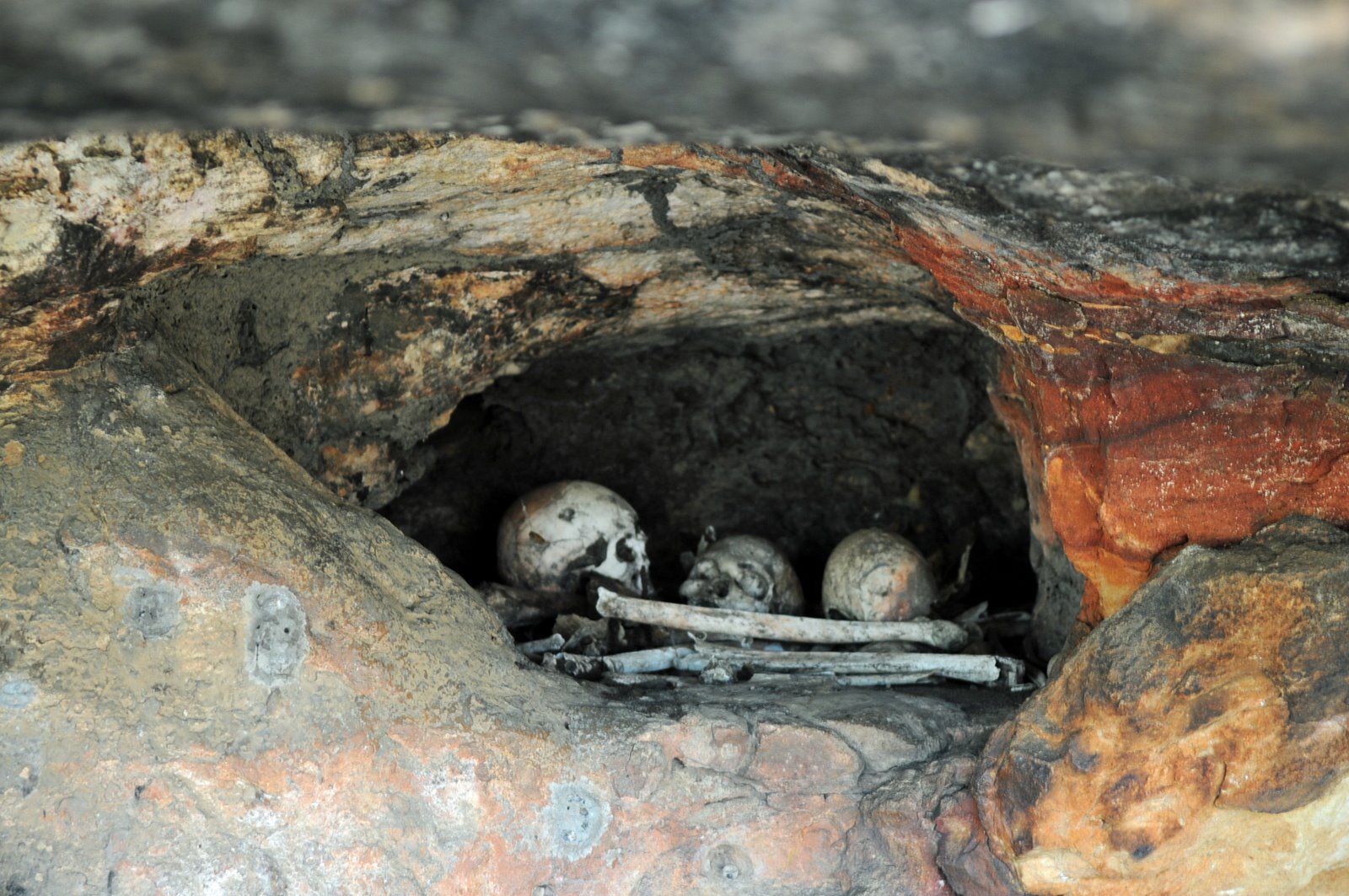
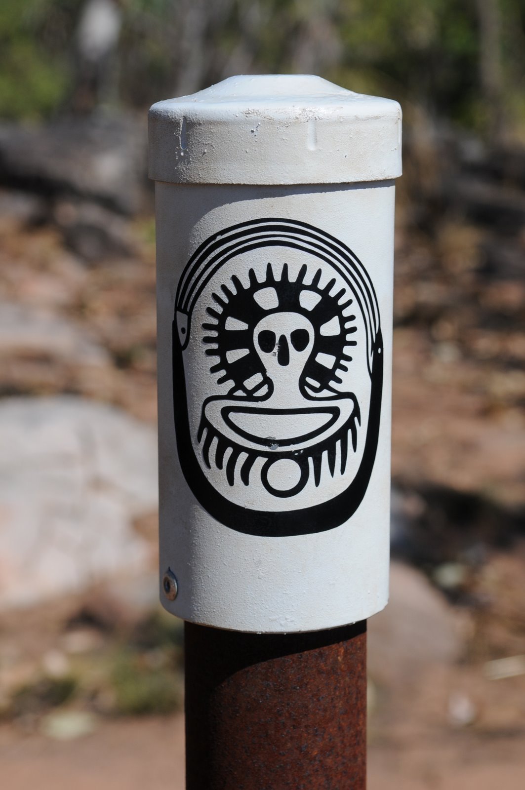
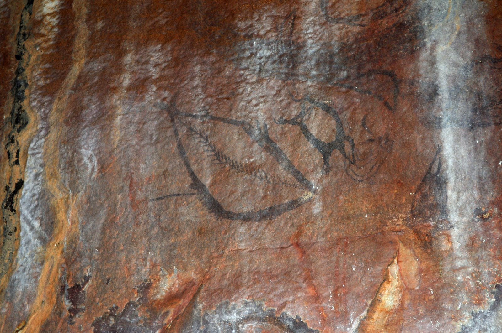
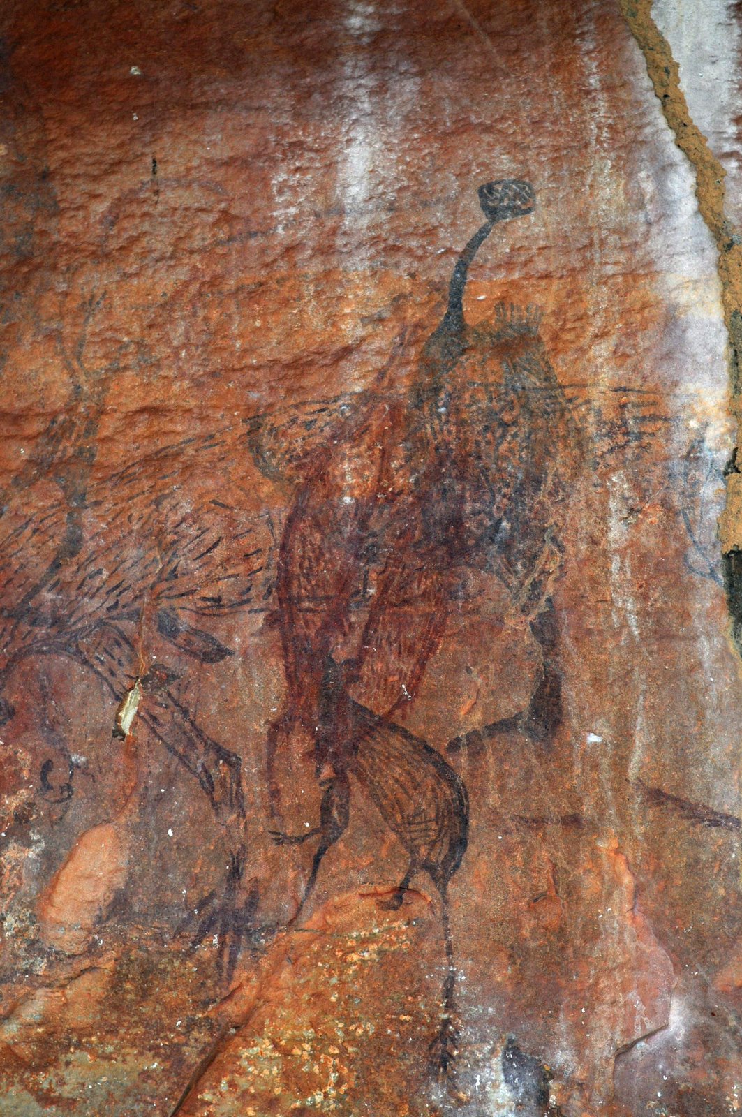
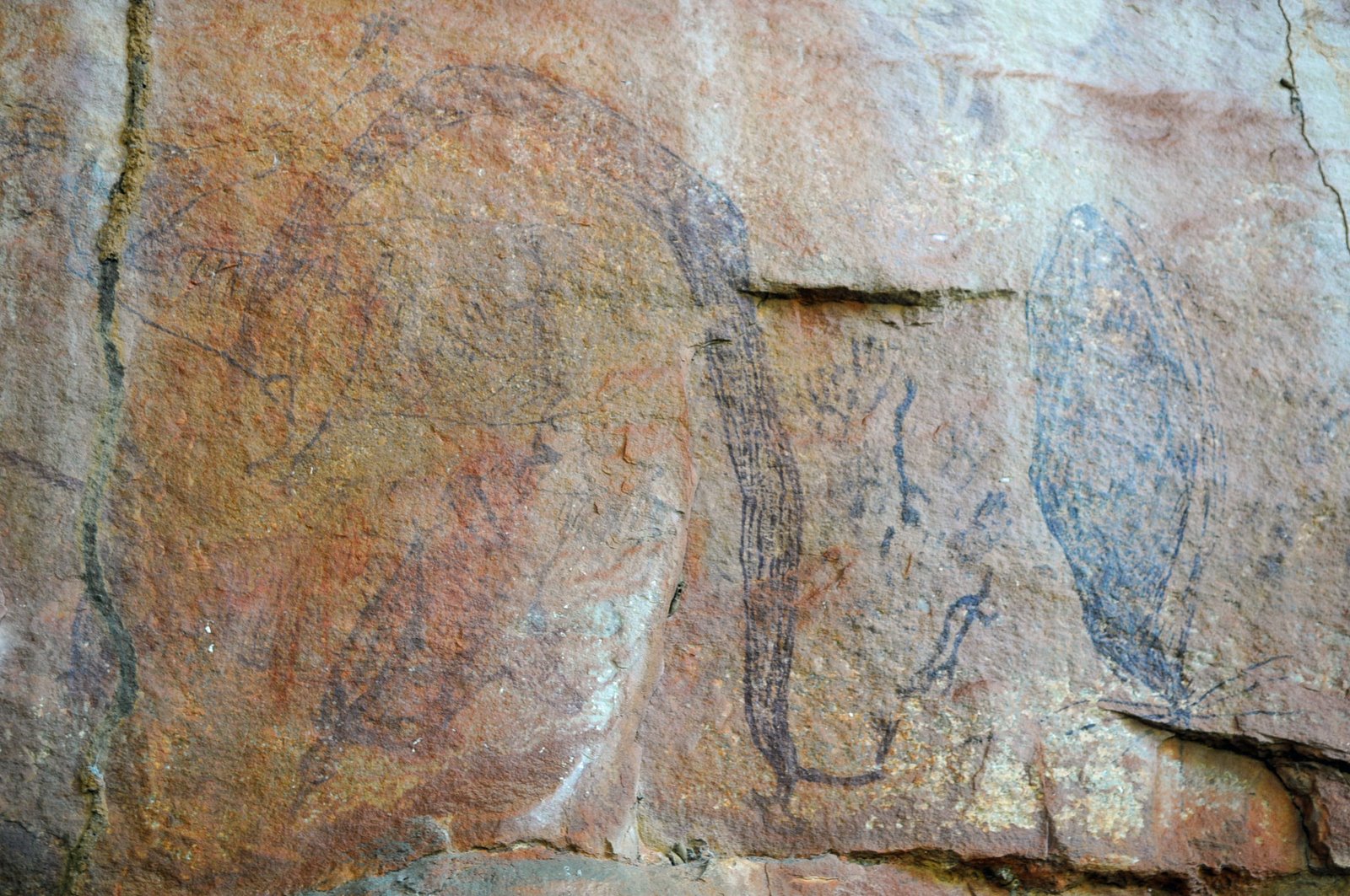
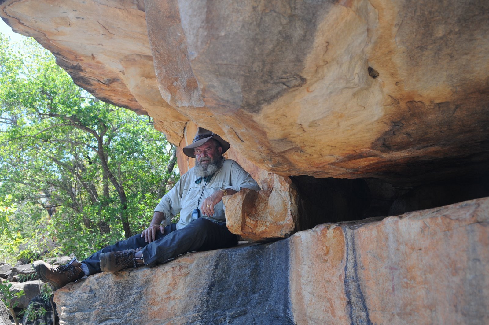
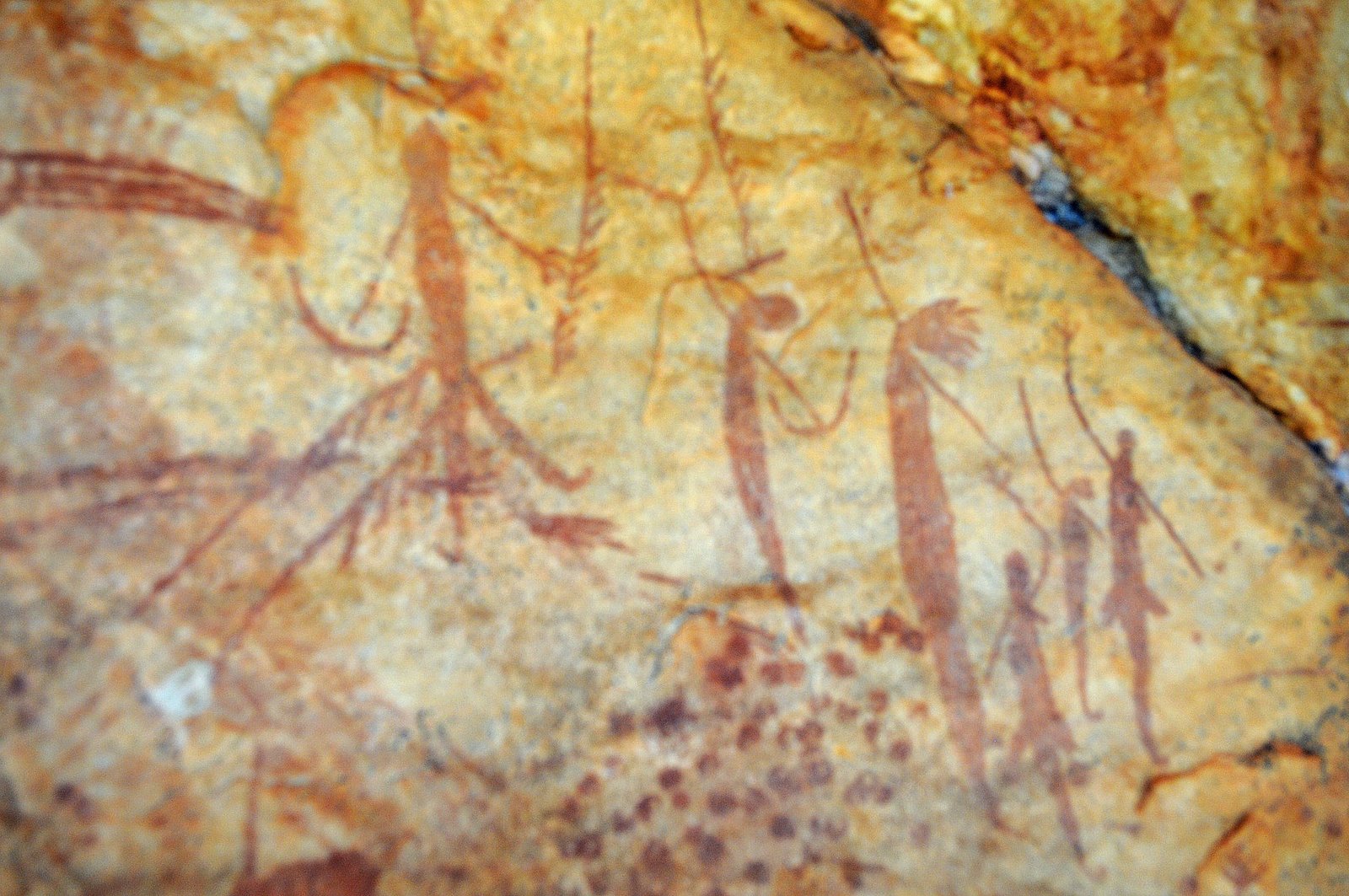
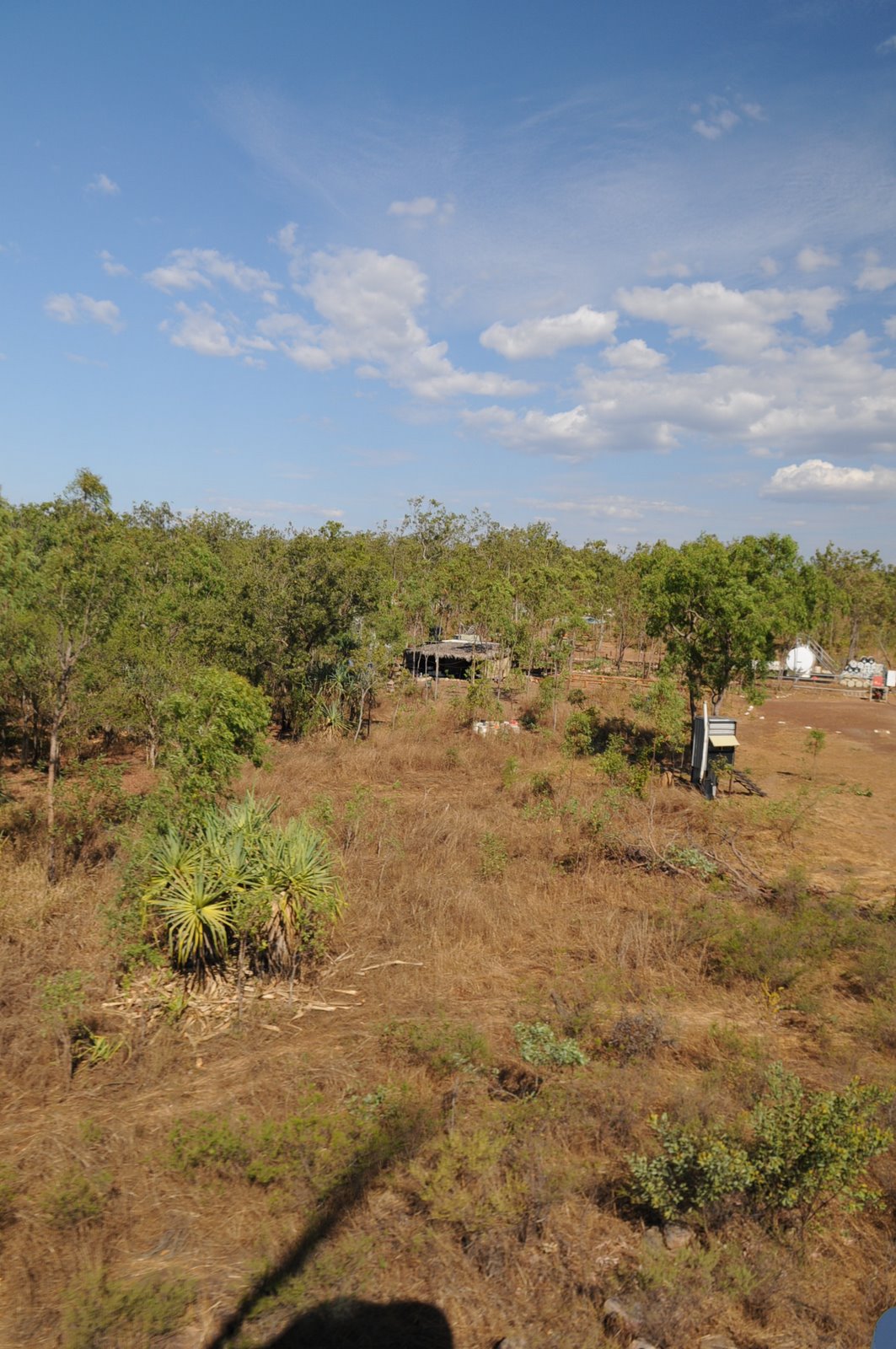
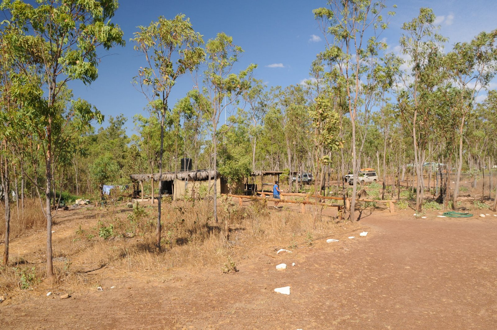
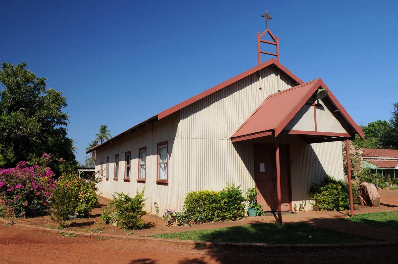
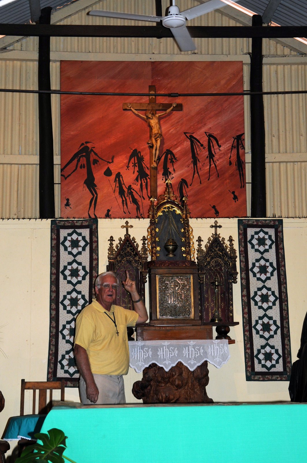
The whole Mornington experience was wonderful and we really enjoyed the information.
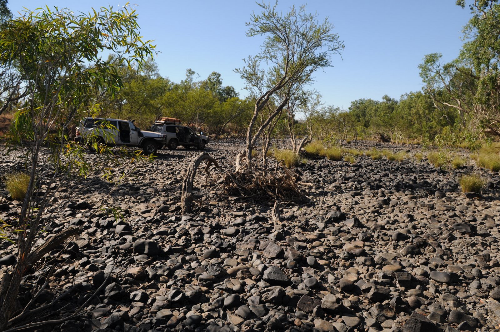
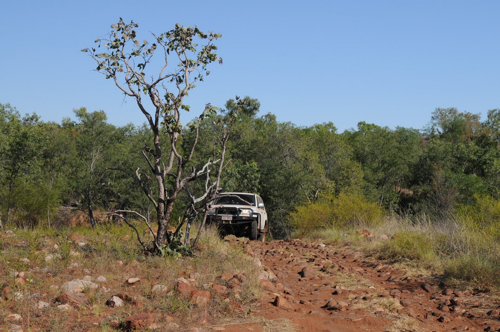
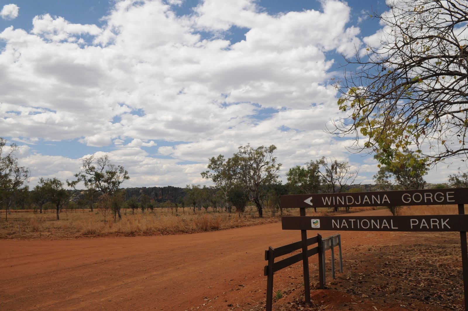
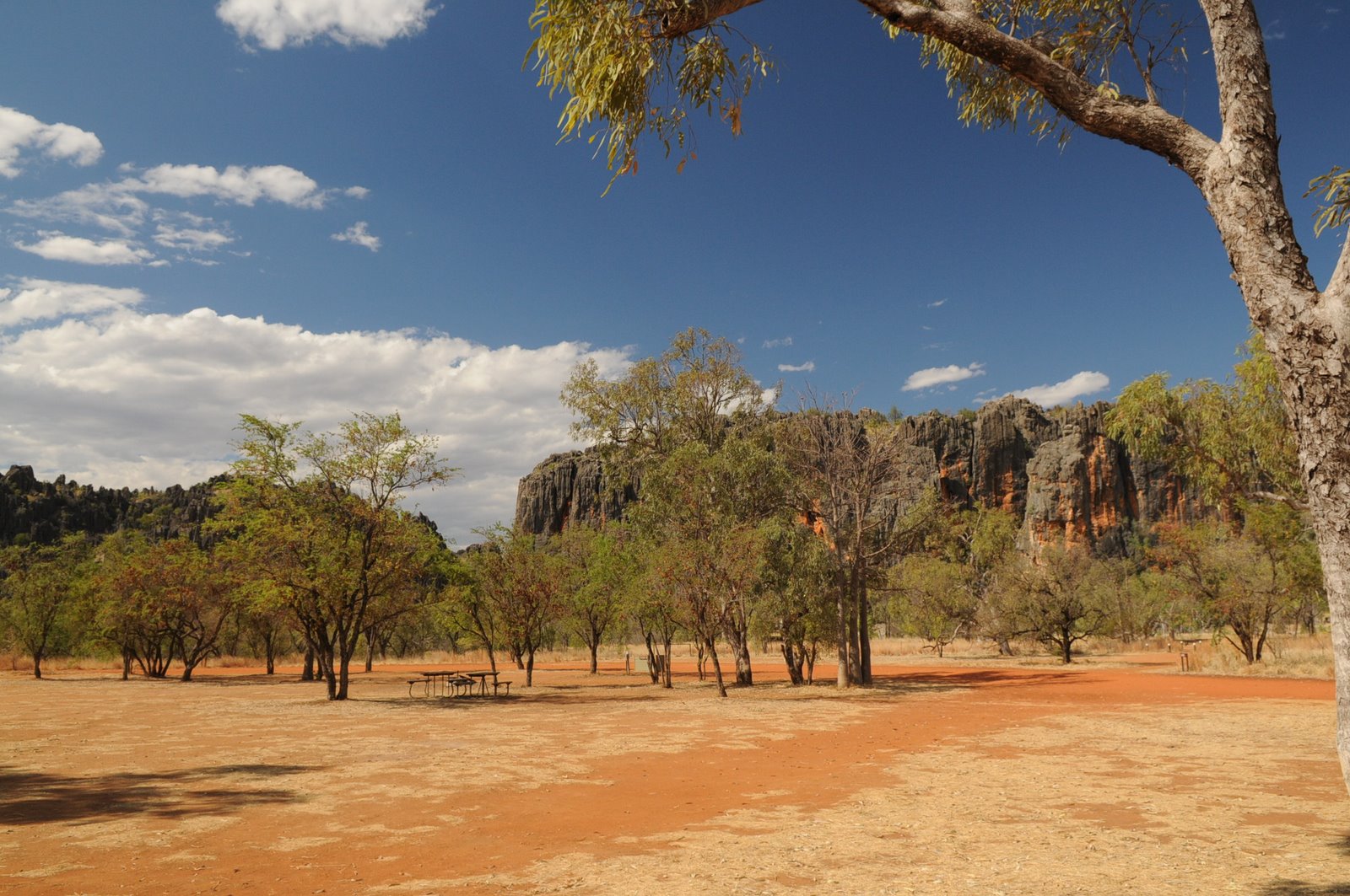
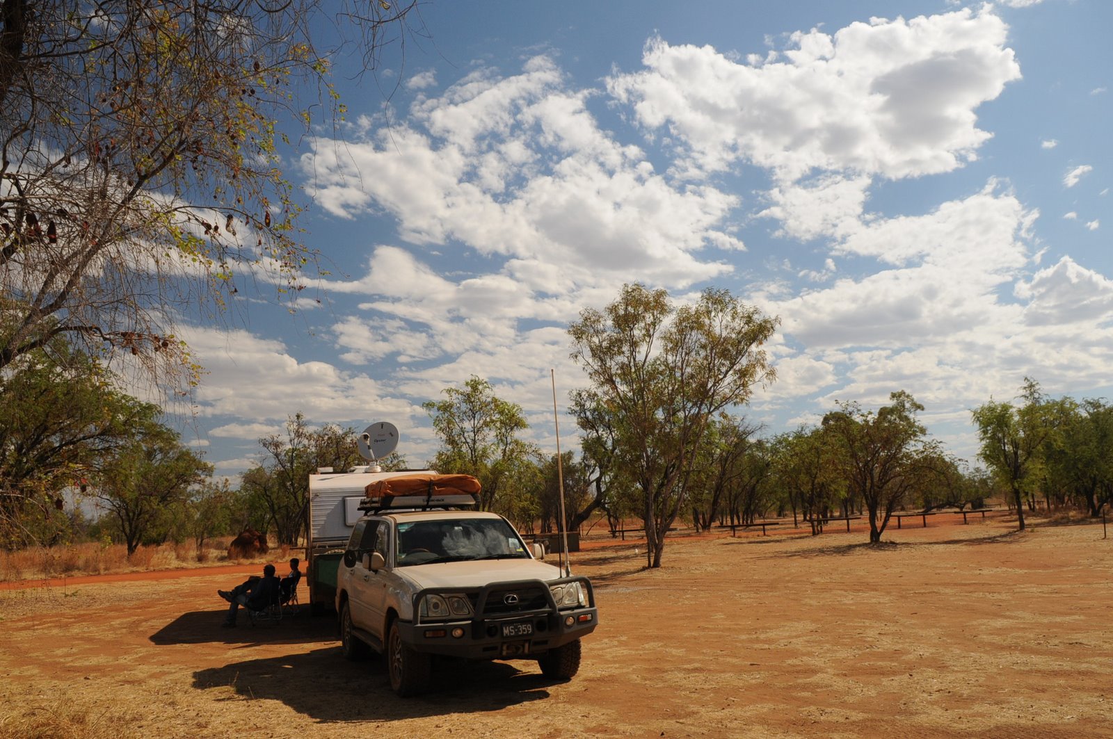
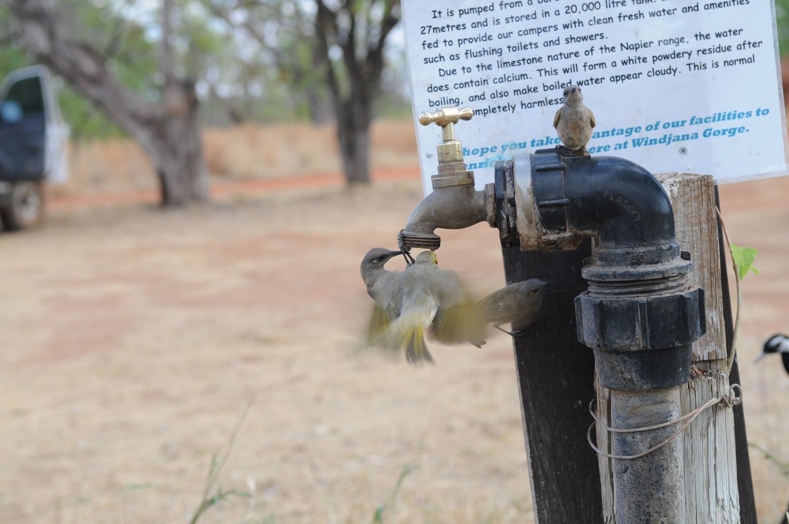
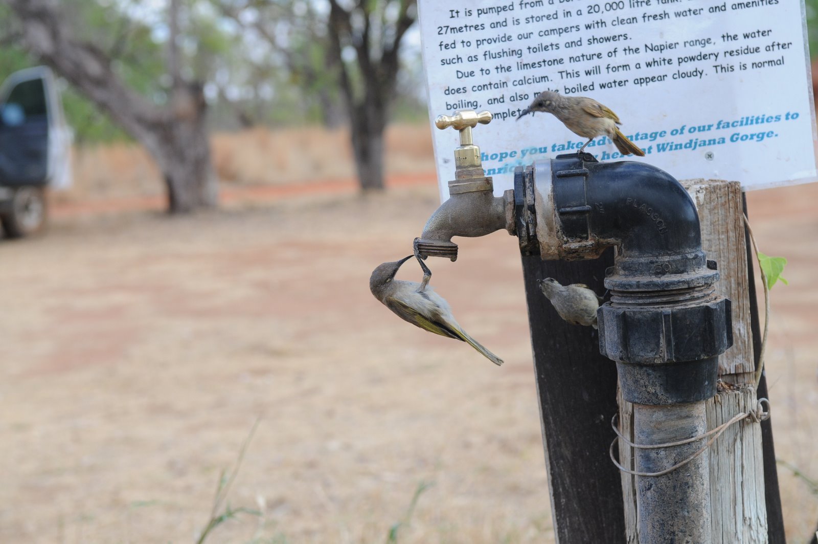
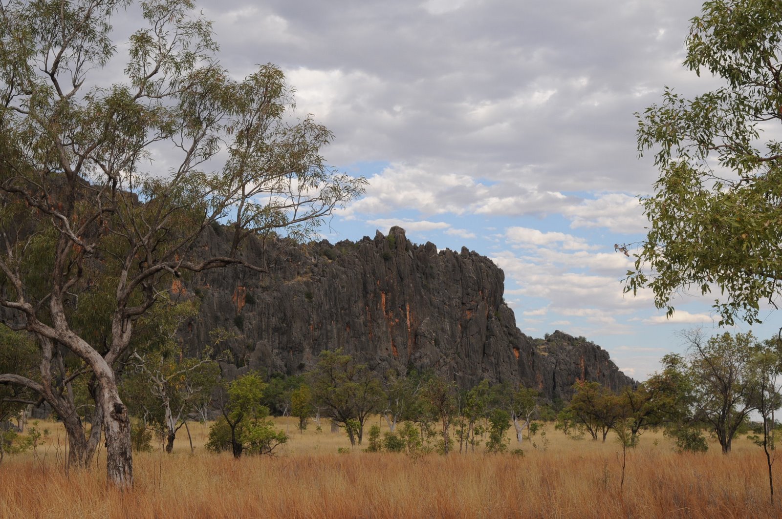
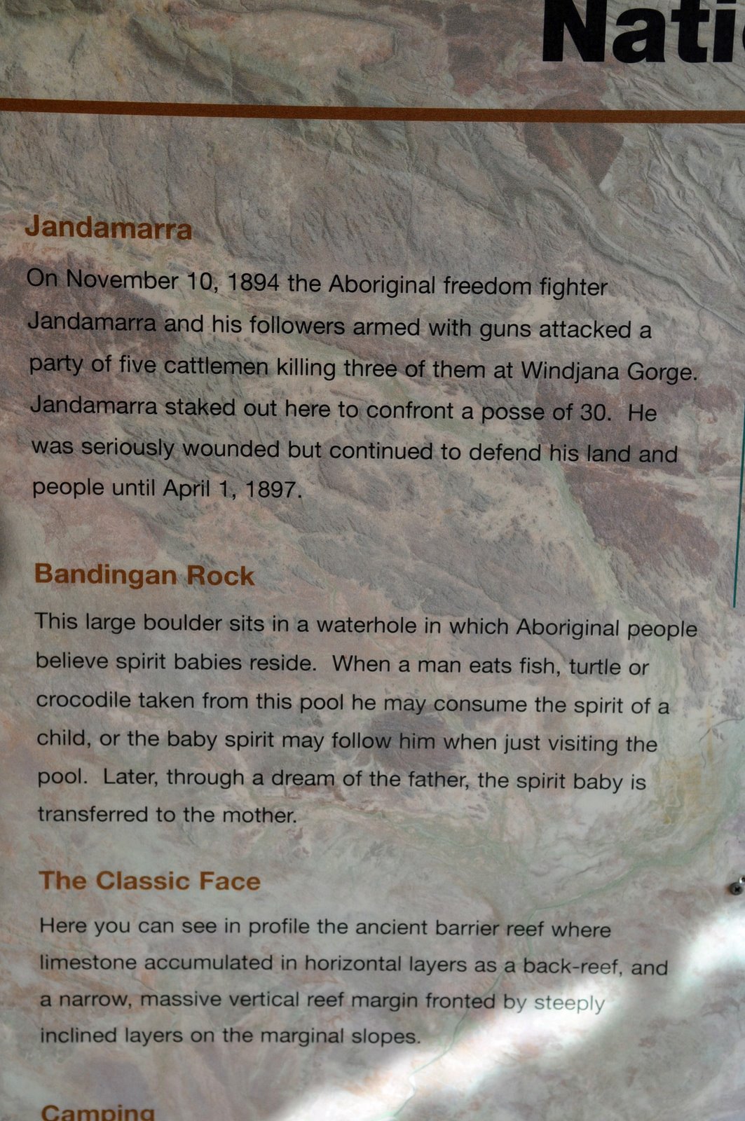
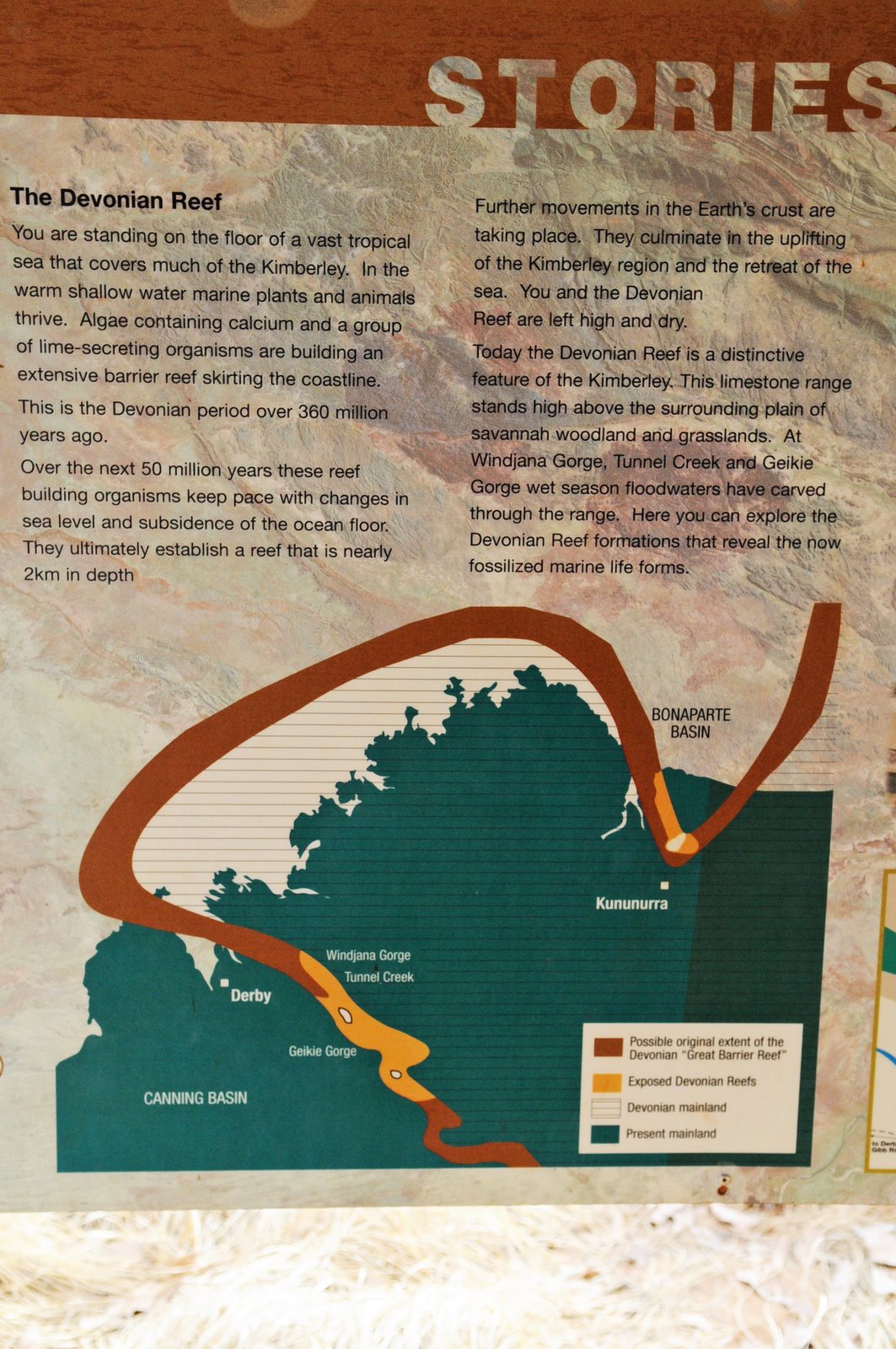
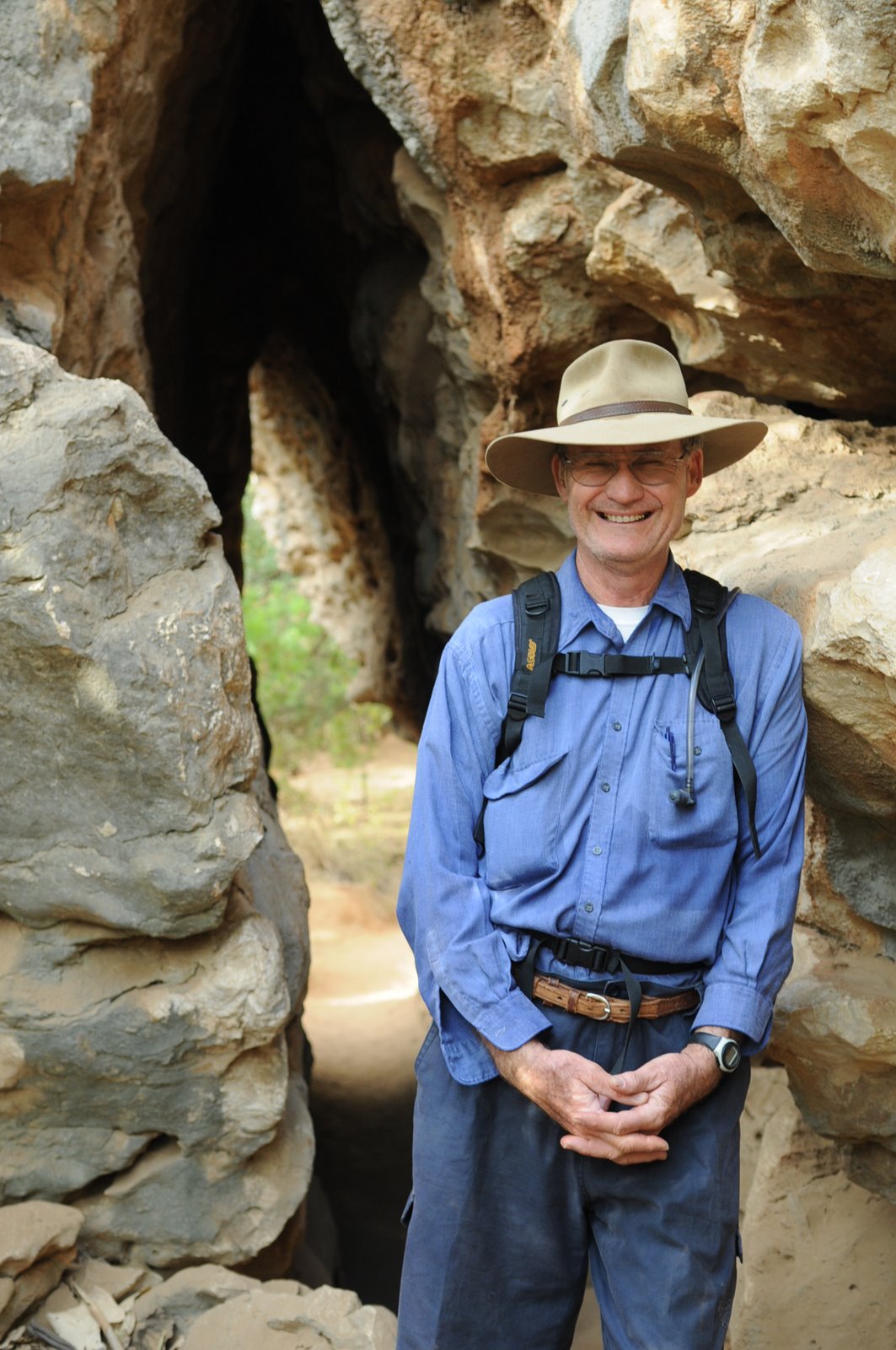
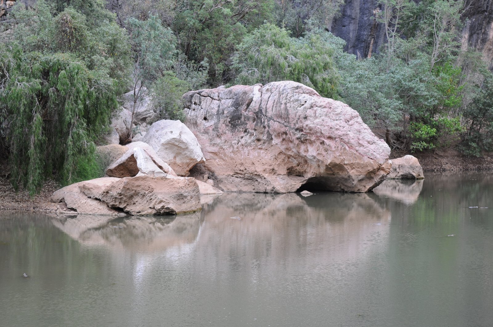
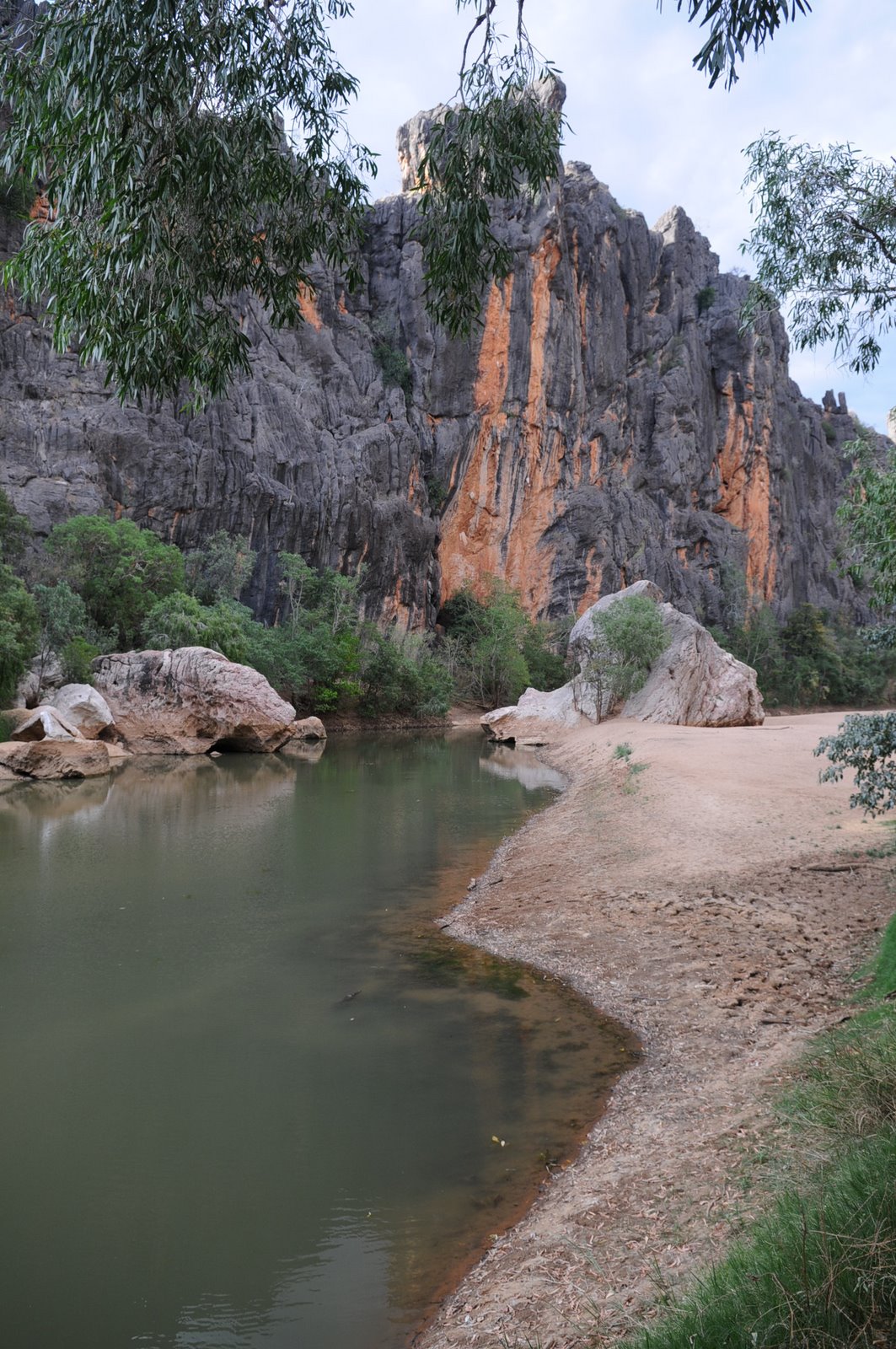
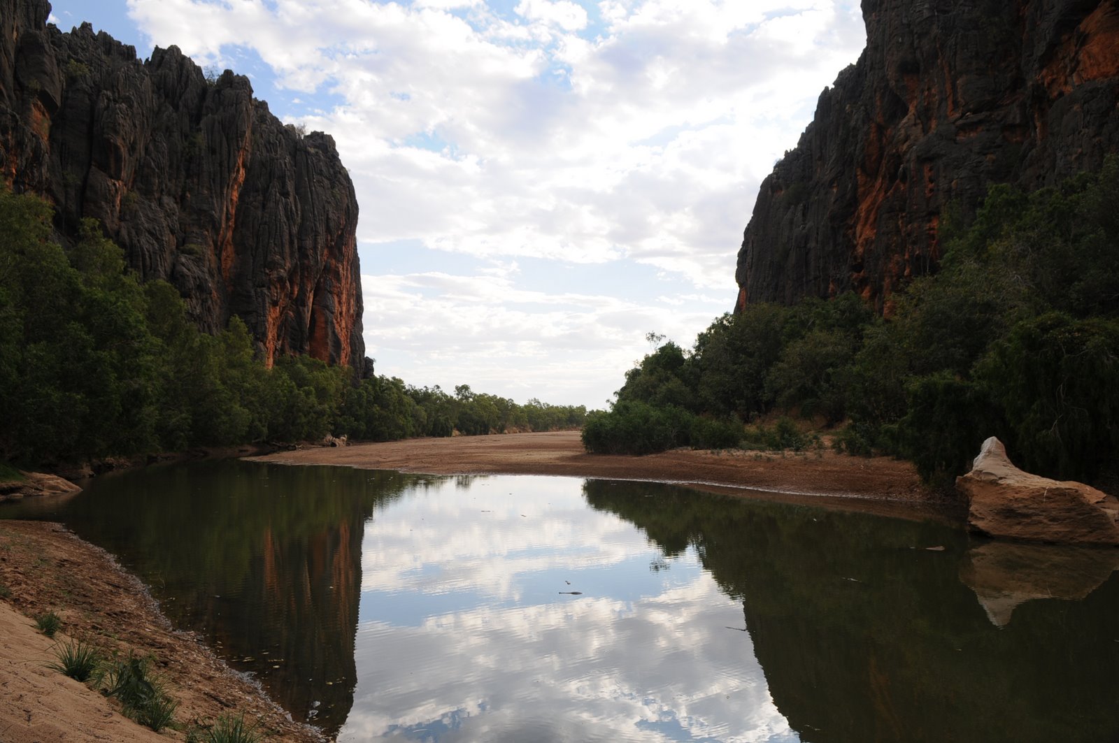
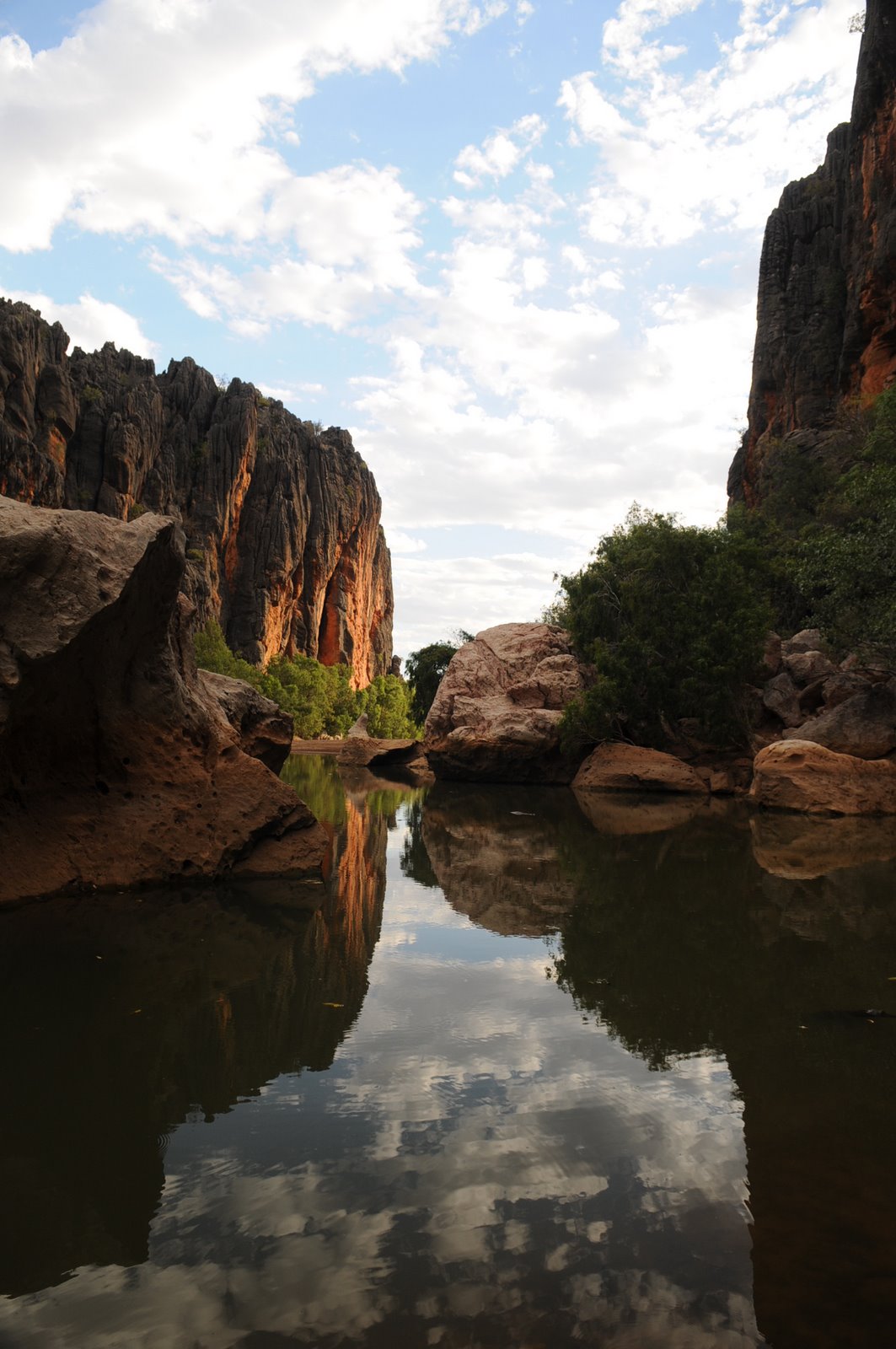
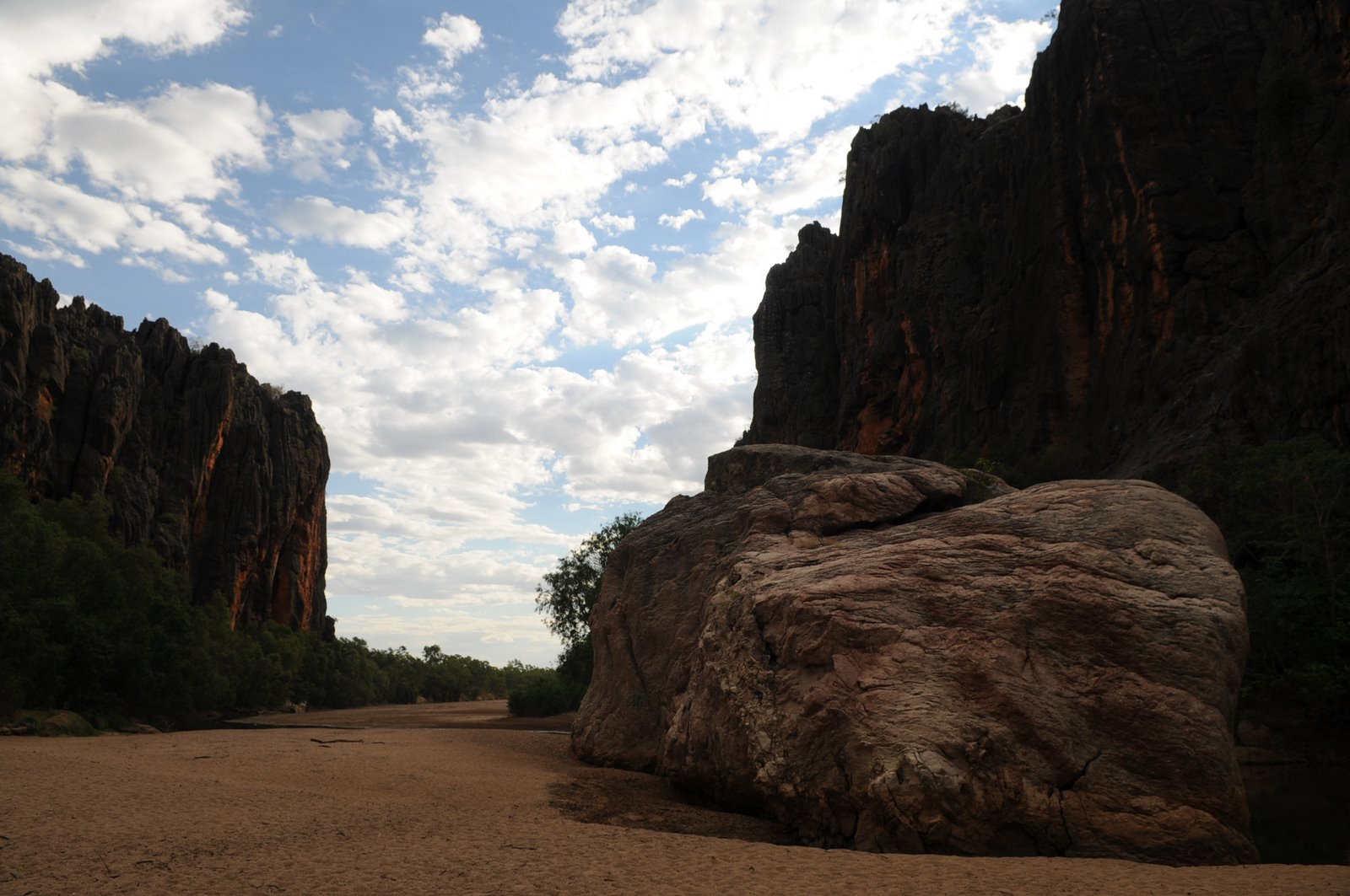
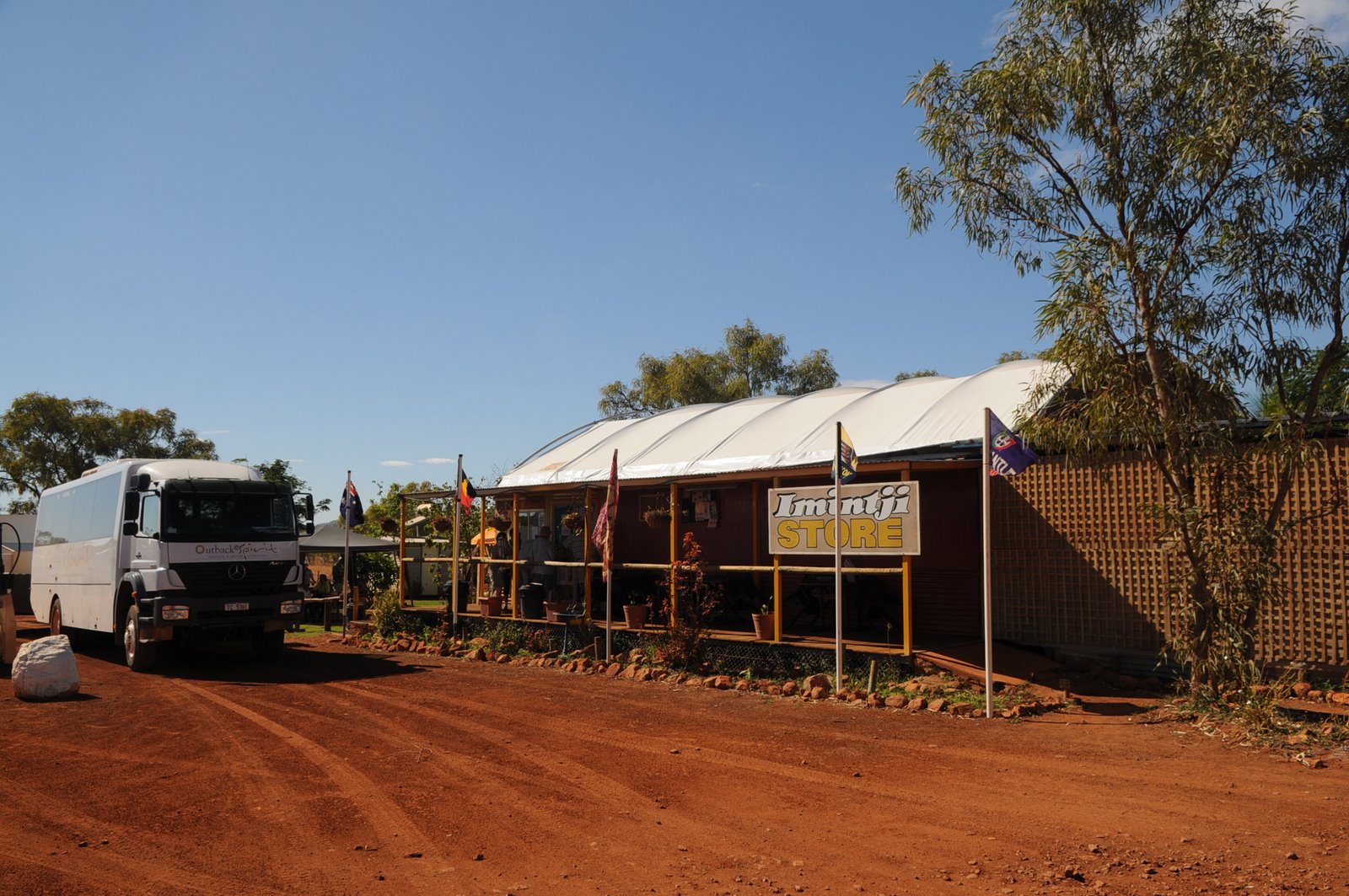
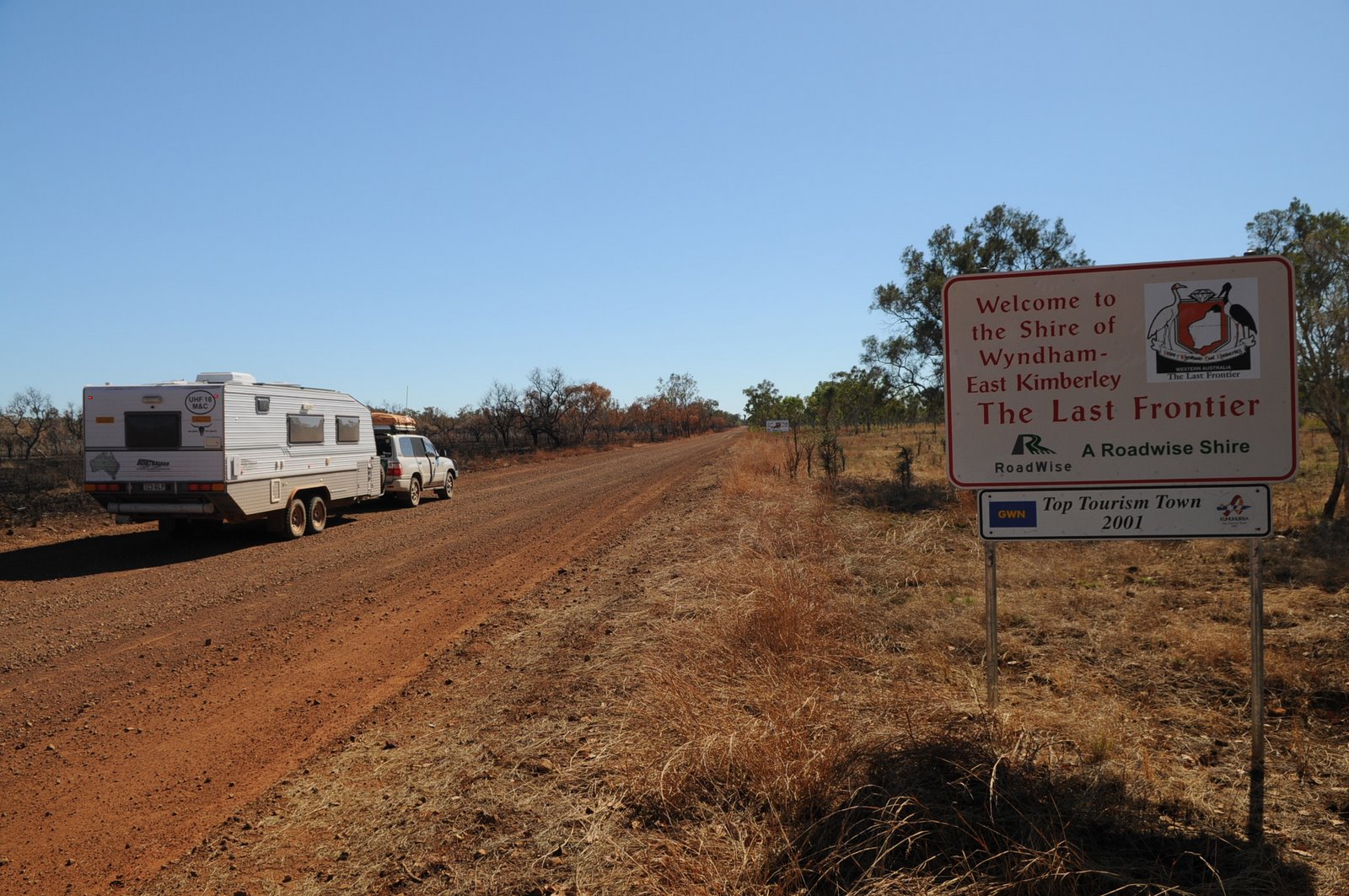
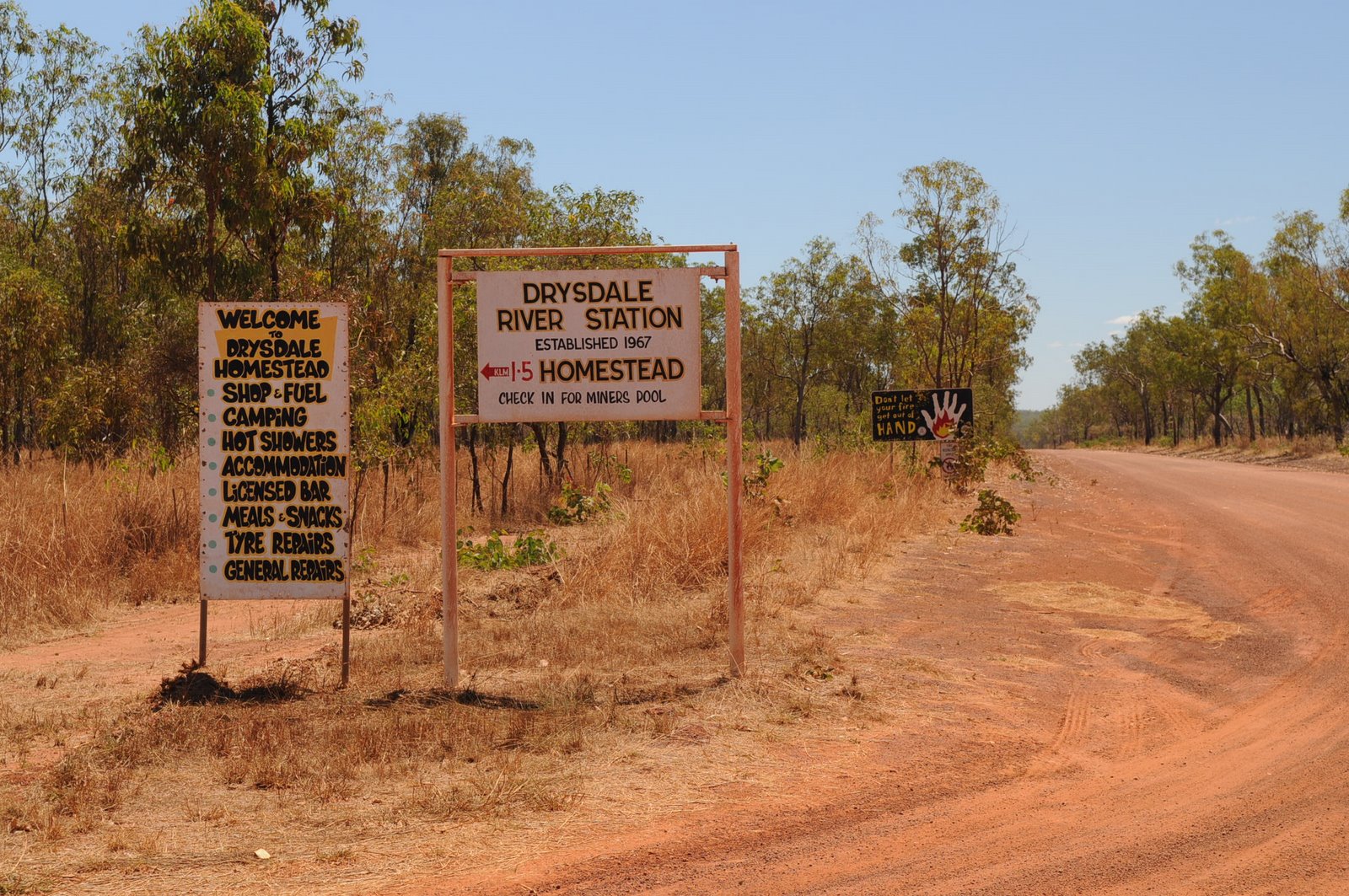
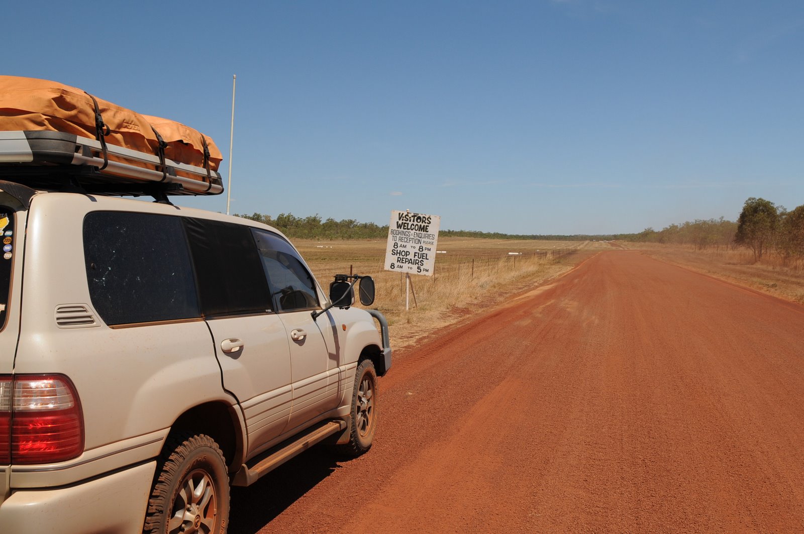
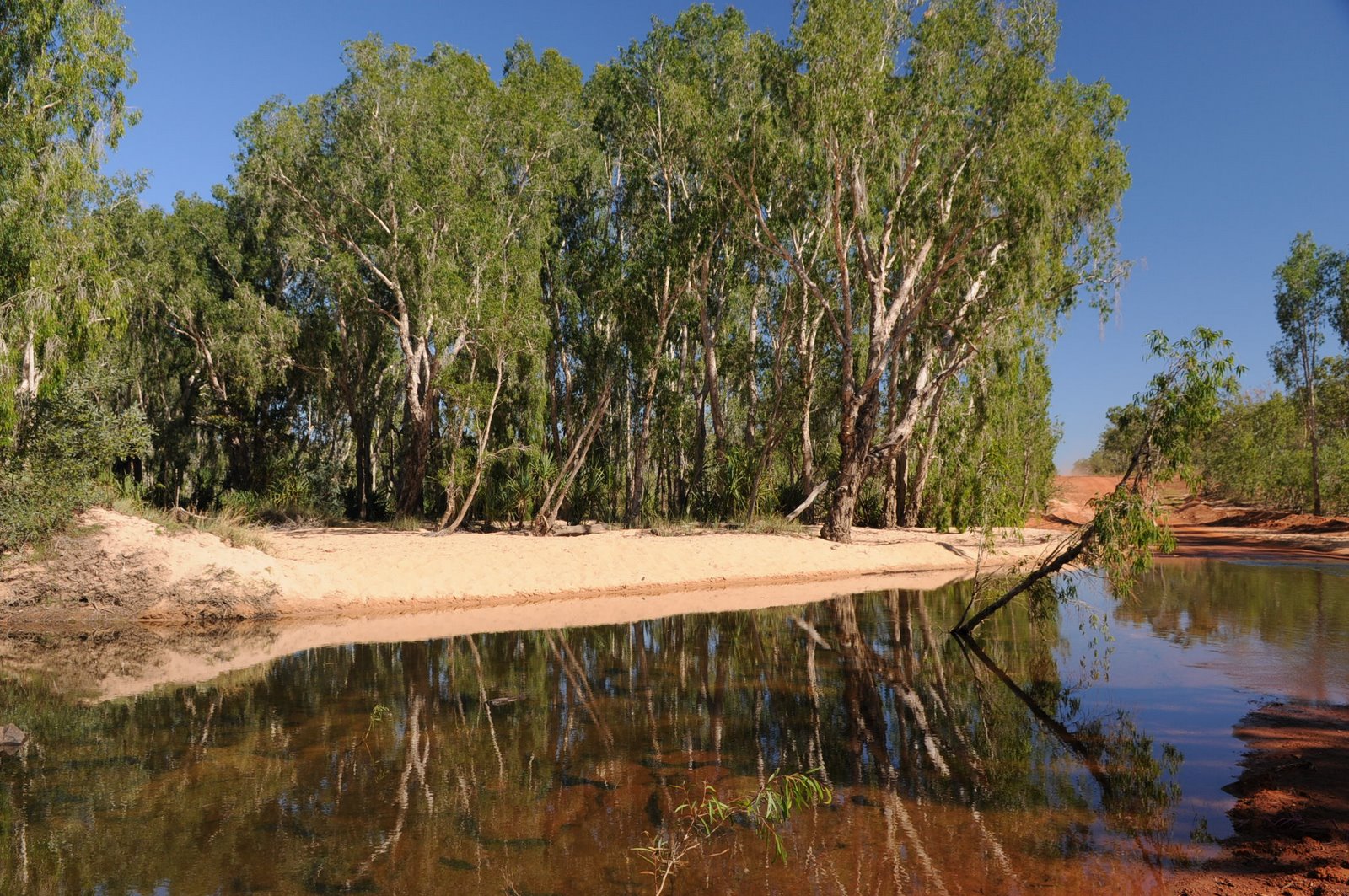
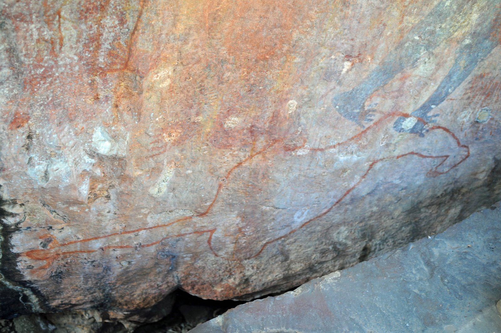
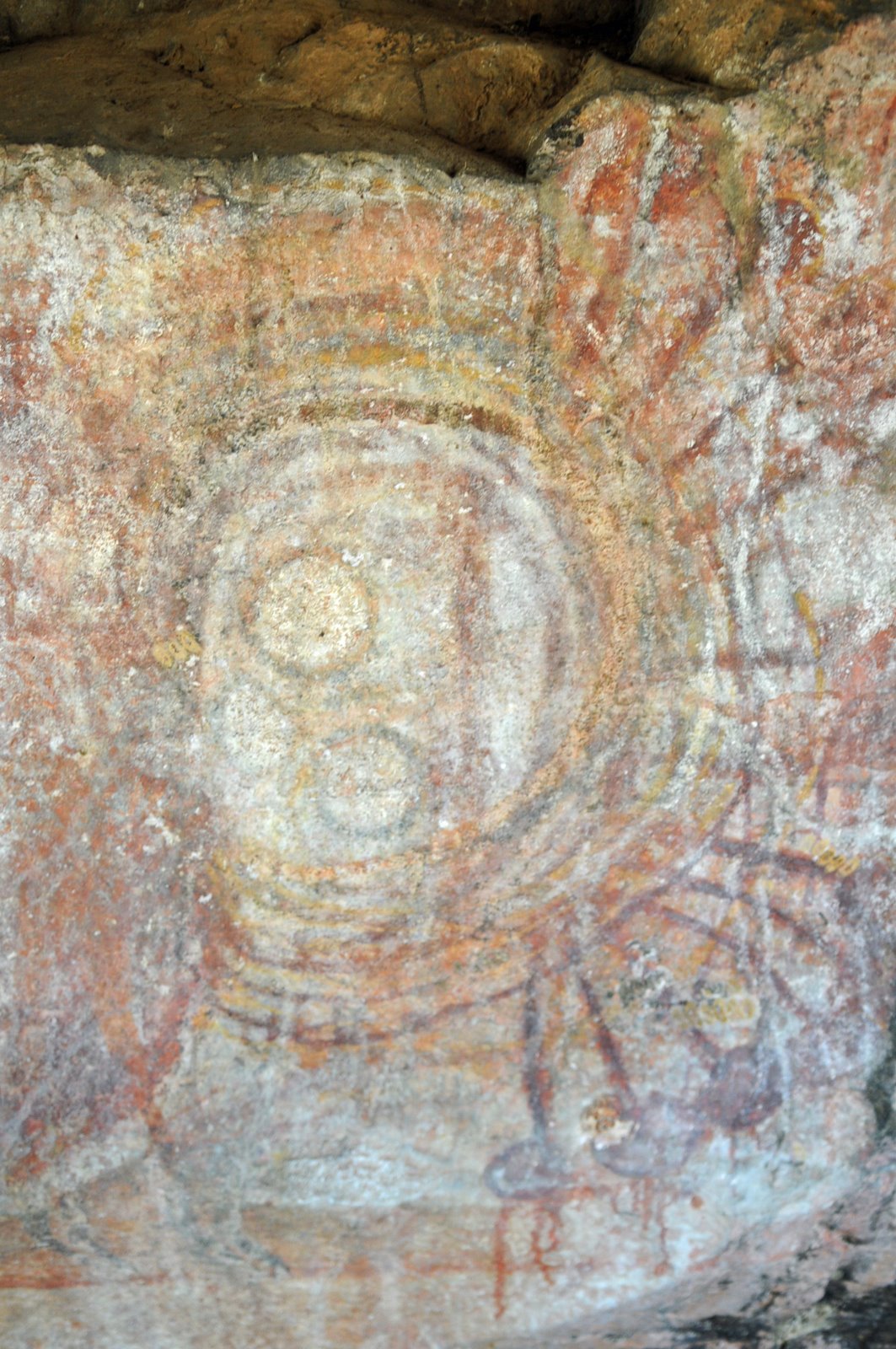
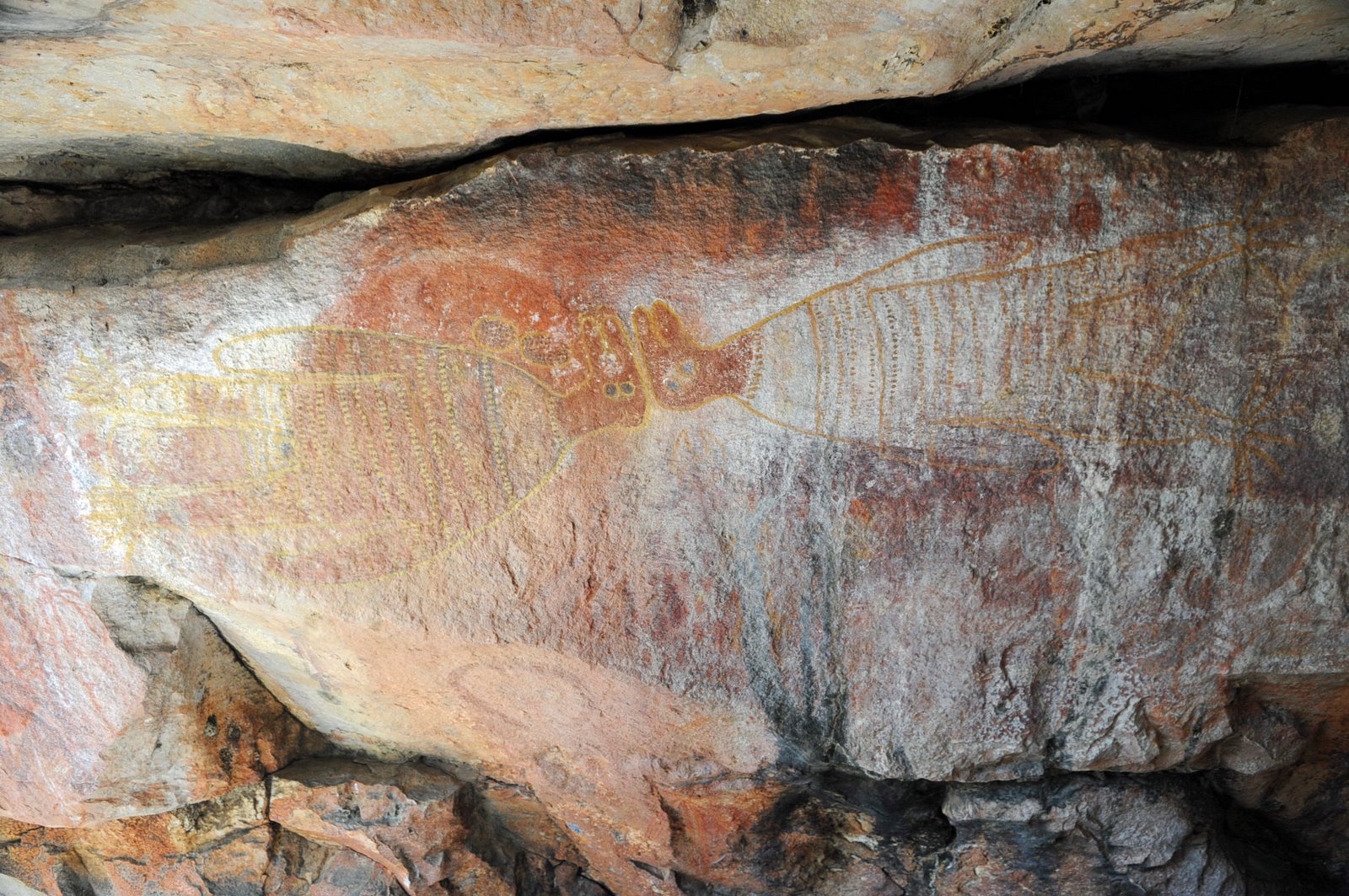
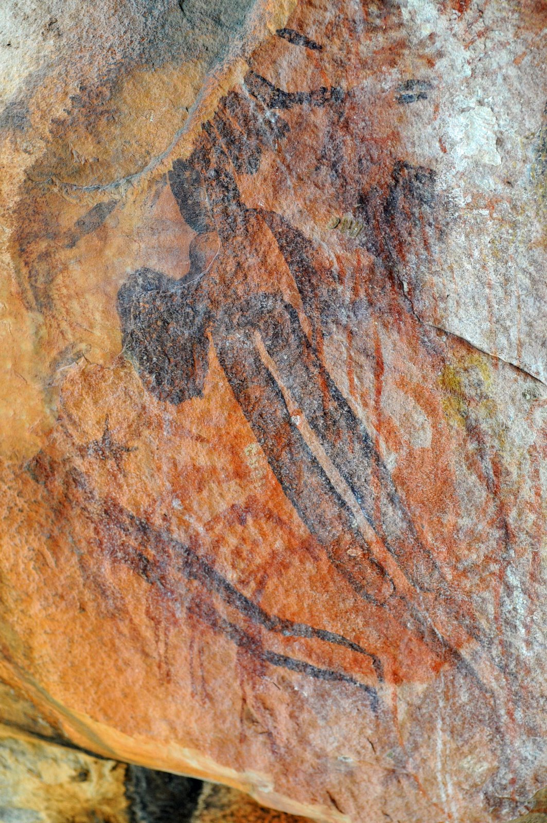
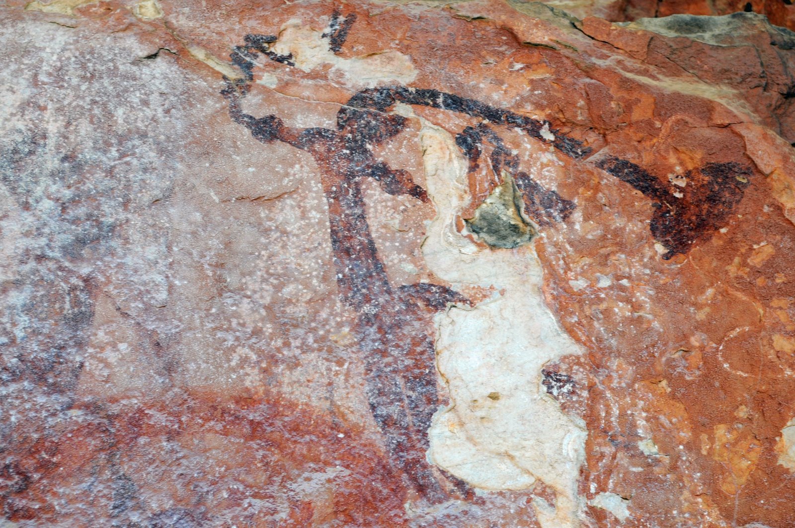
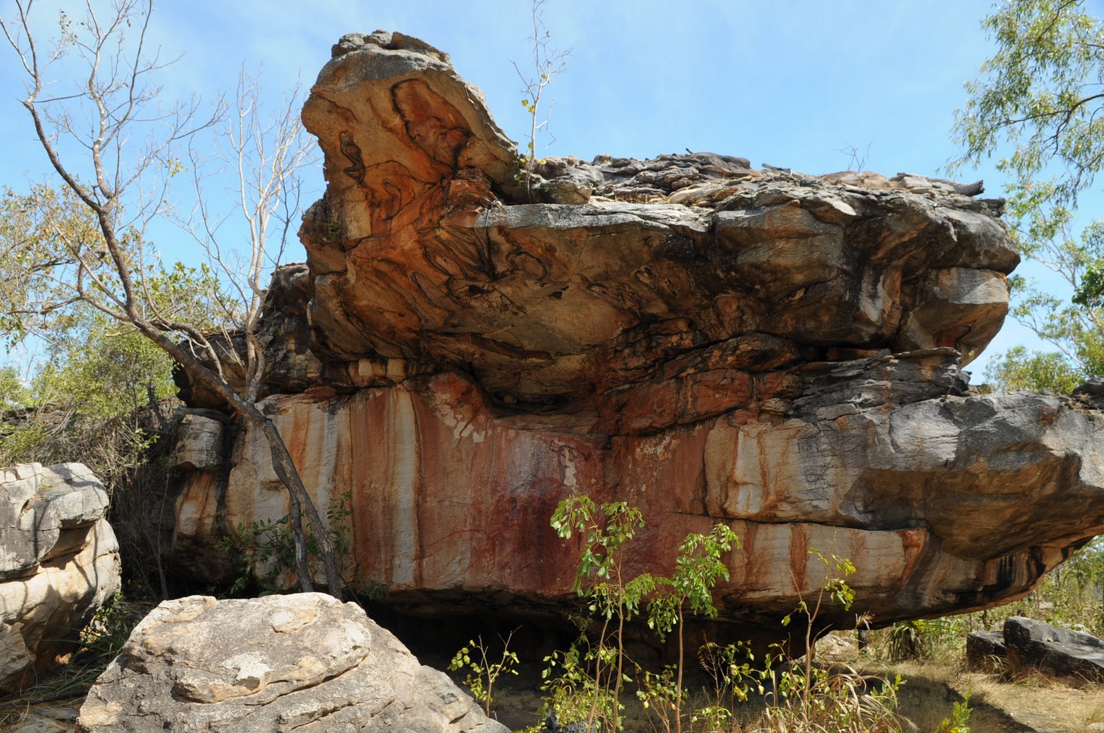
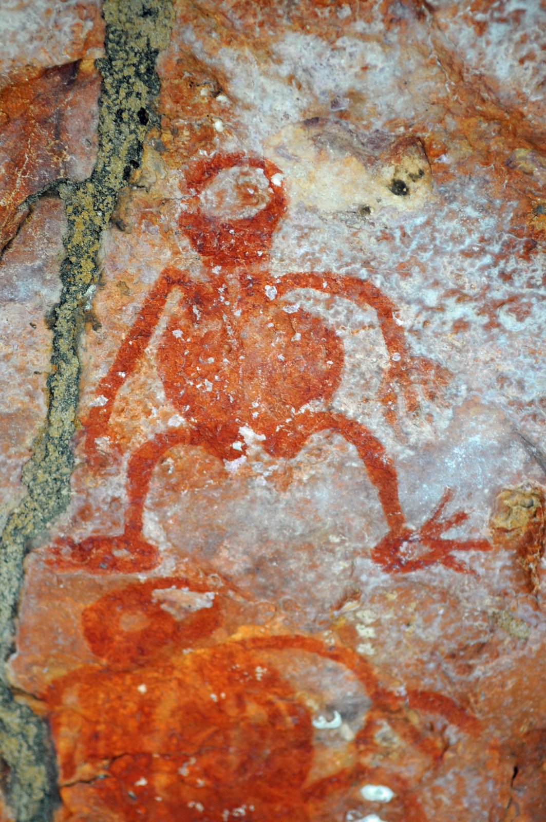
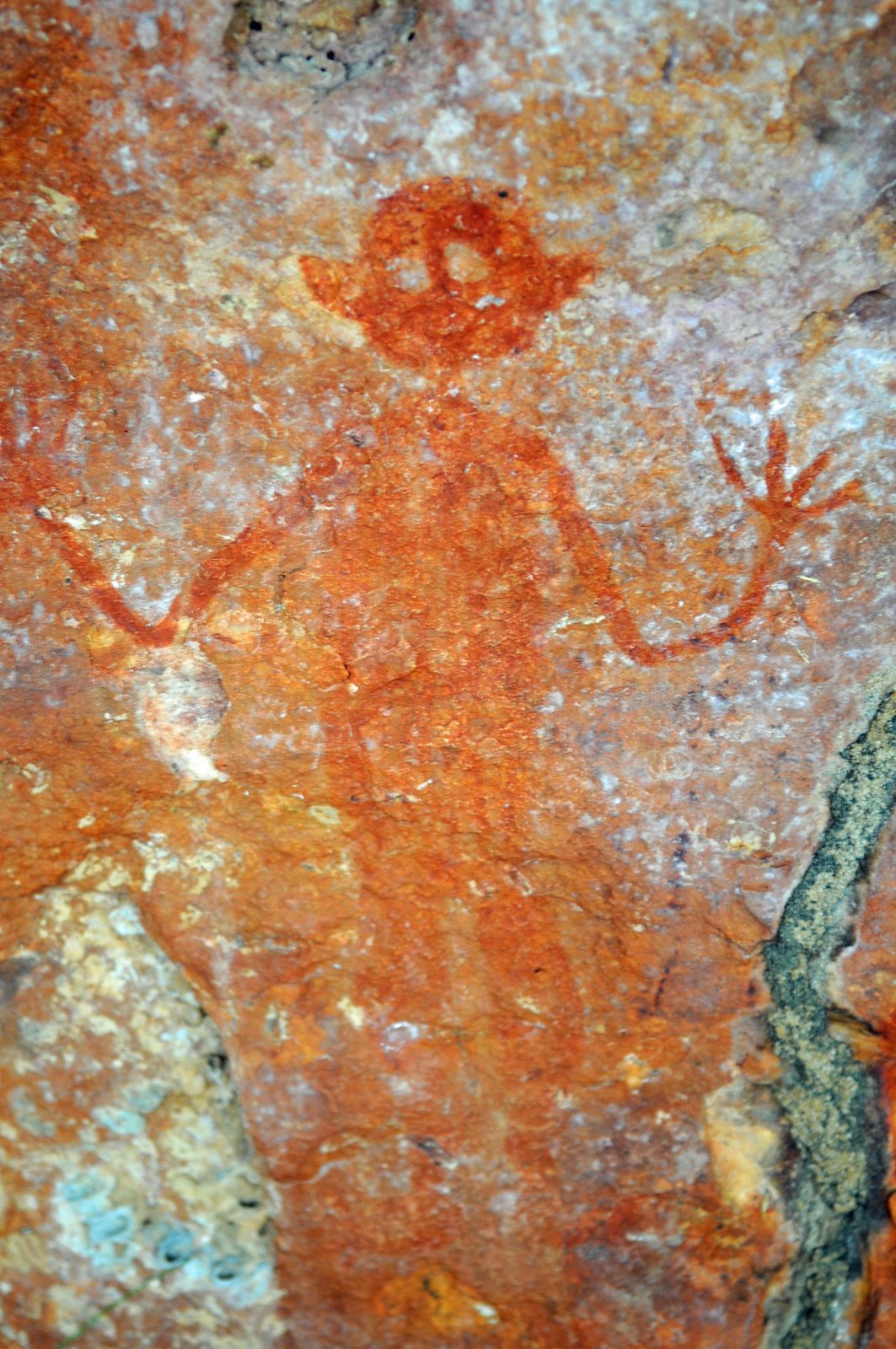
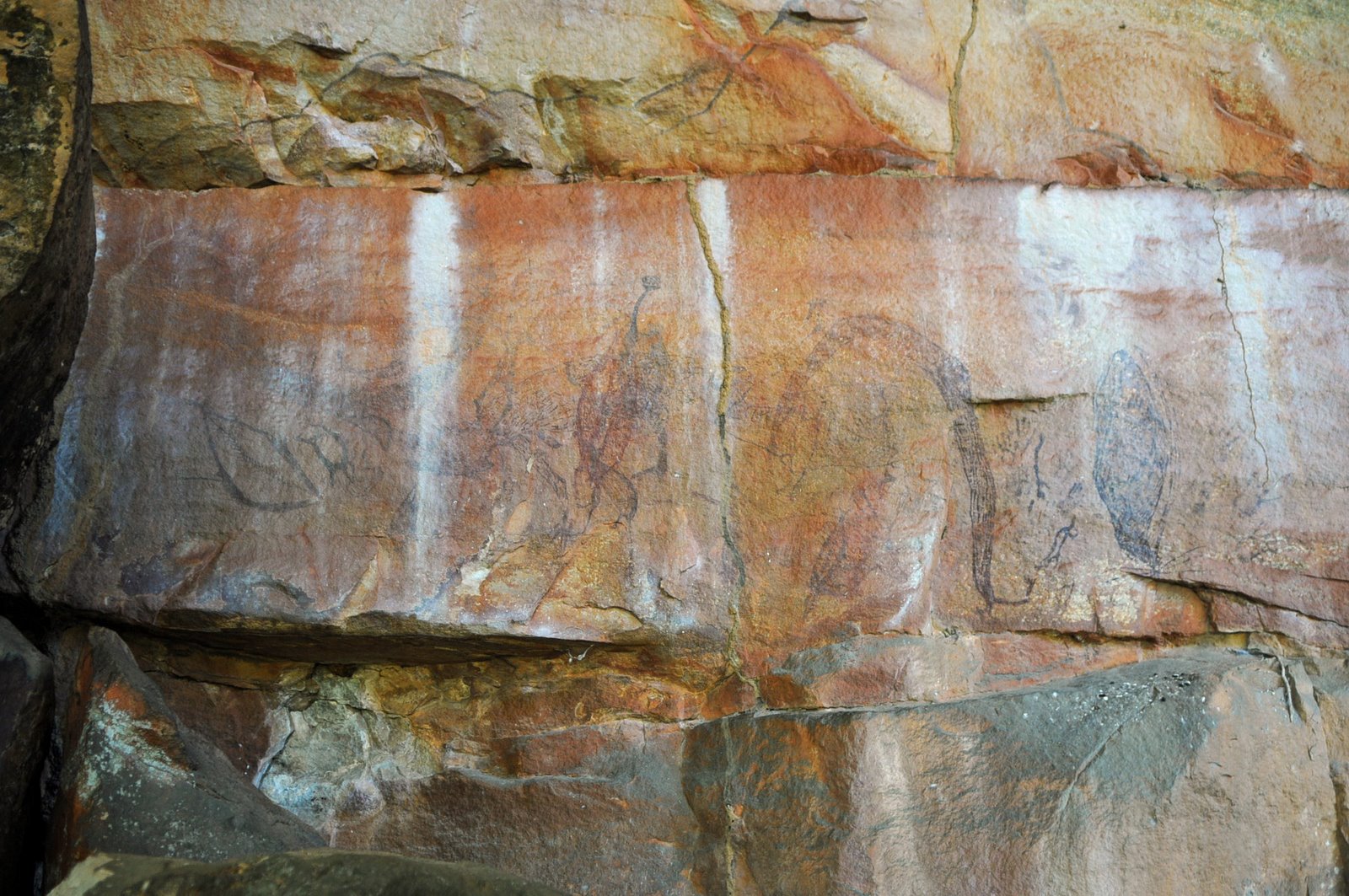
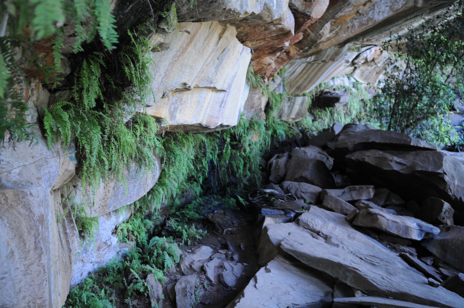
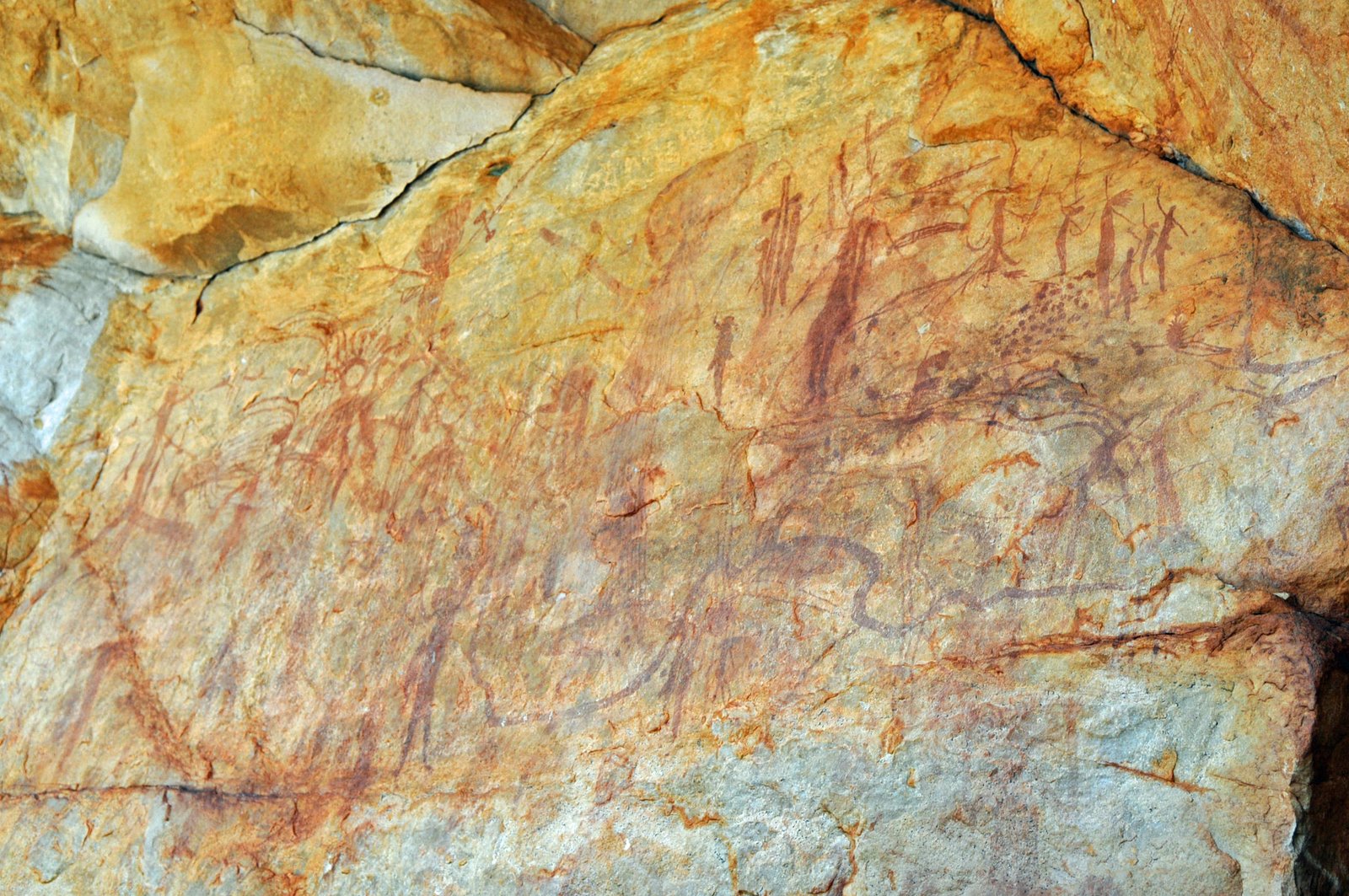
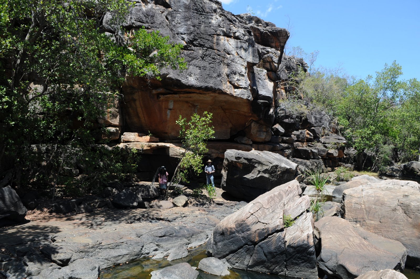
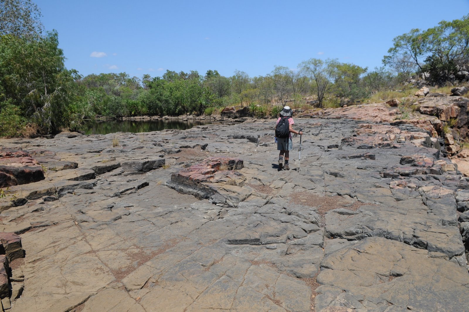
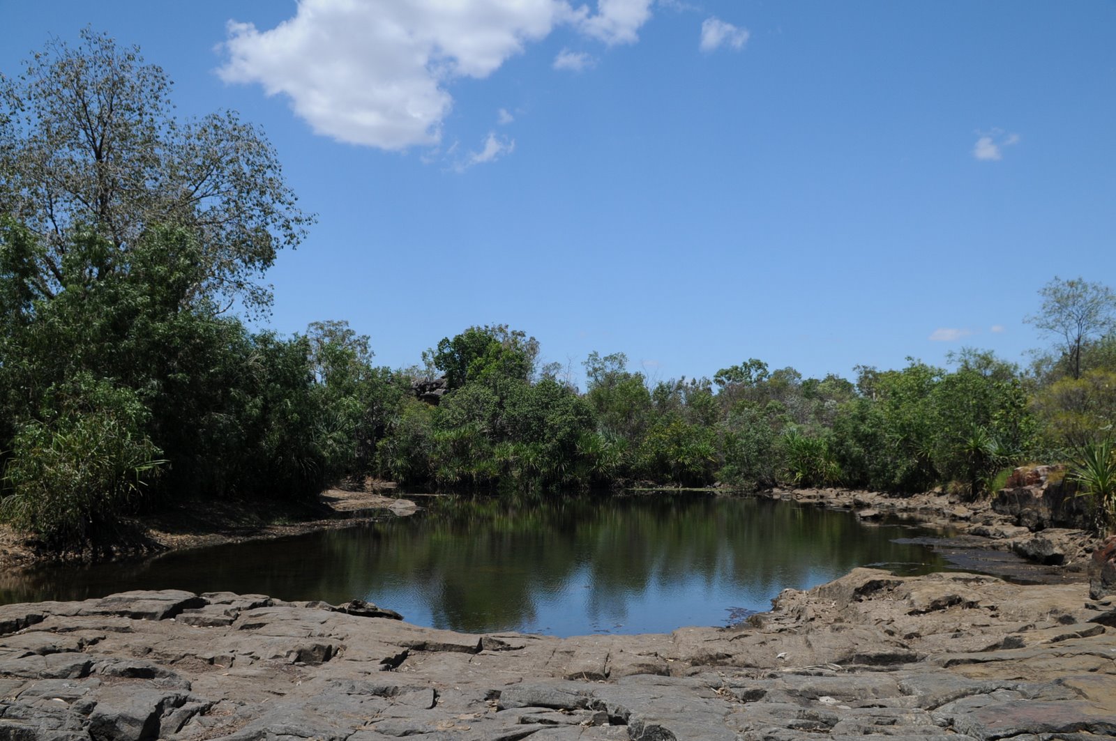
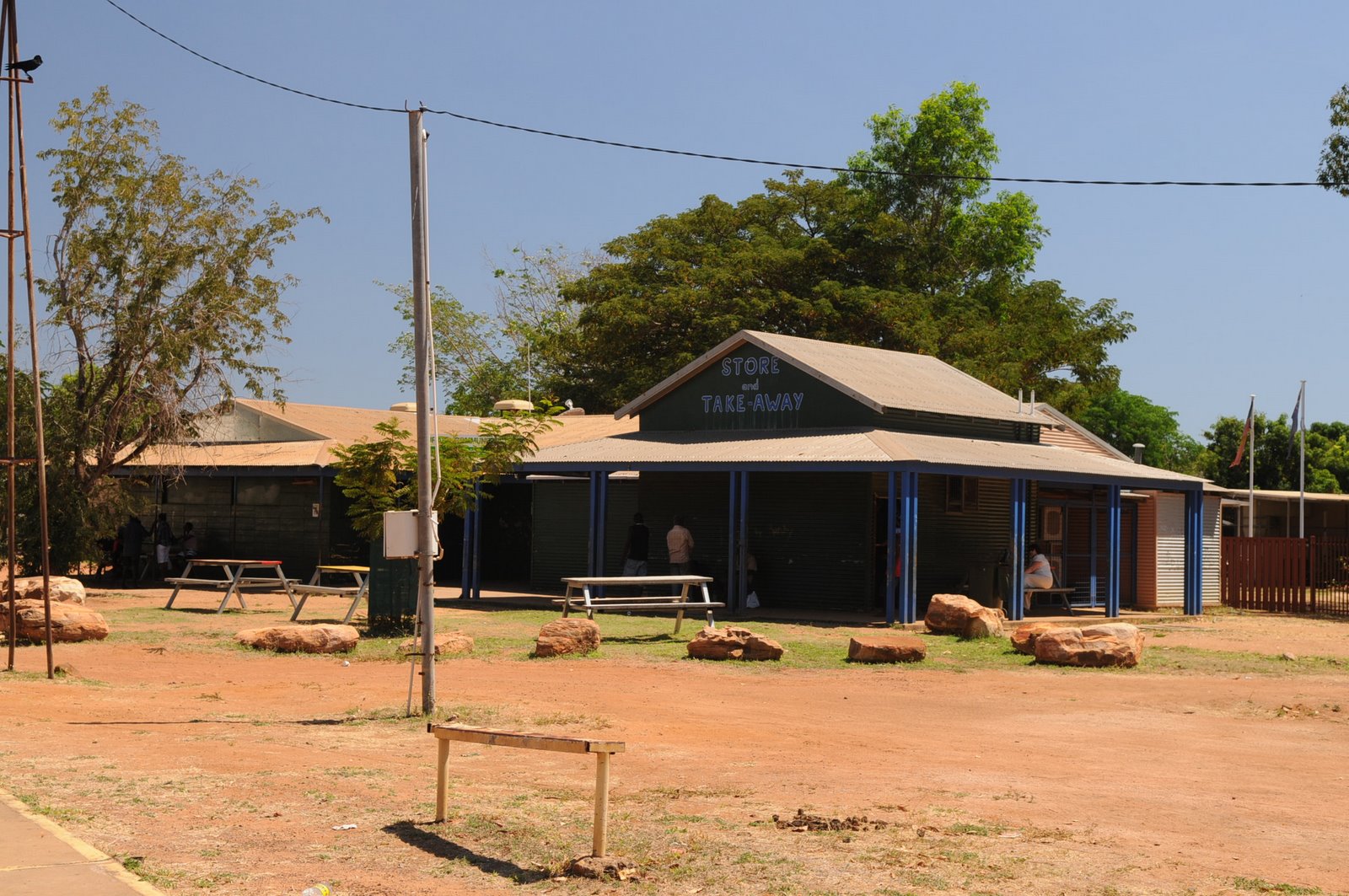
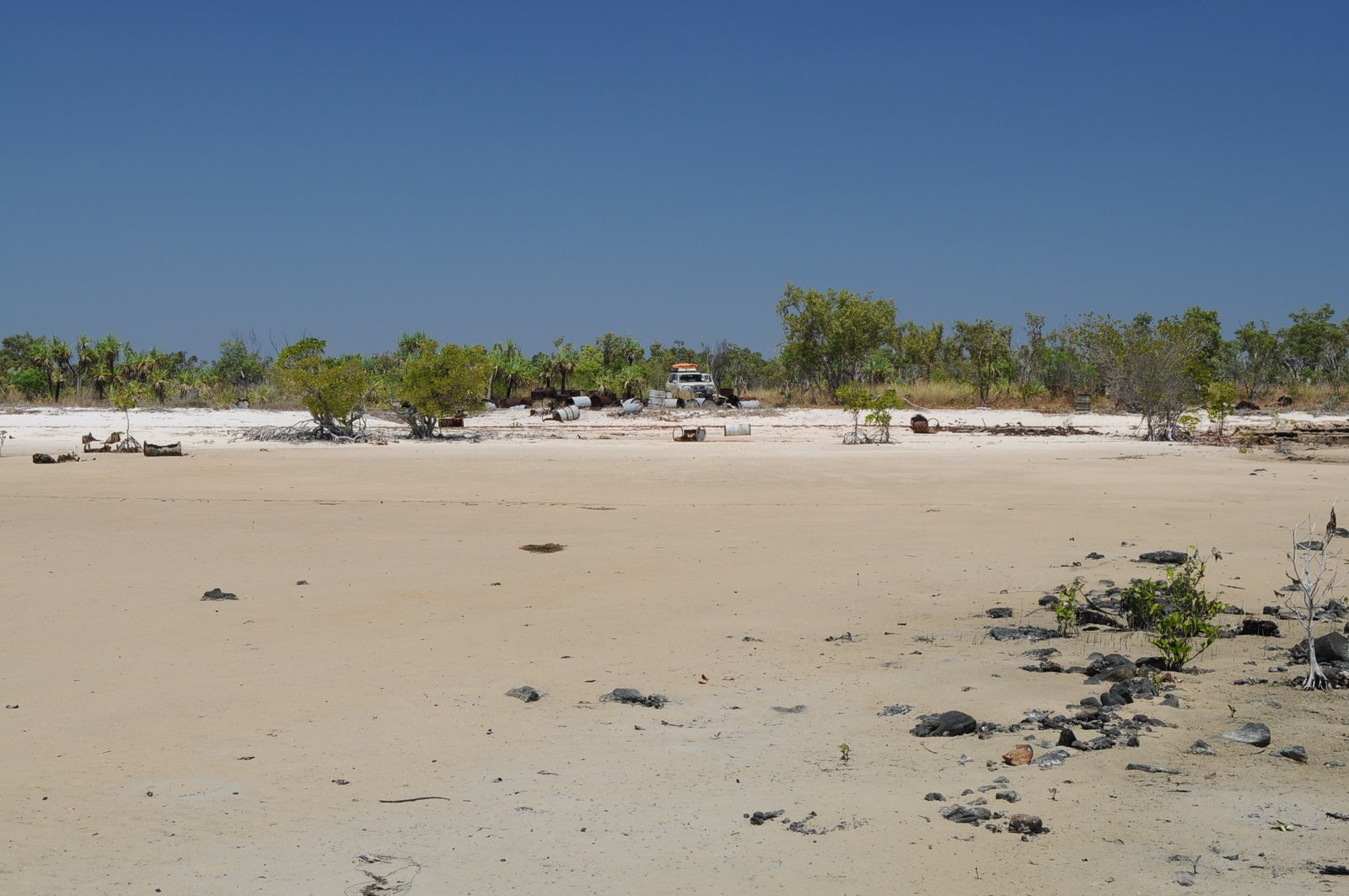
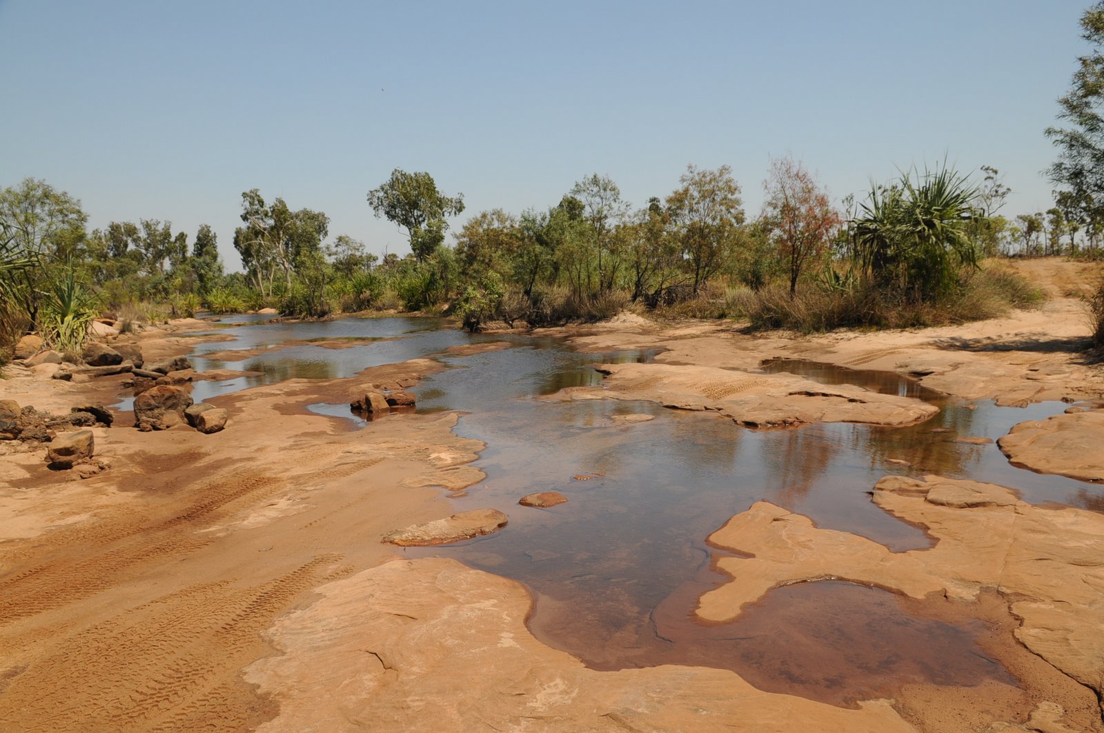
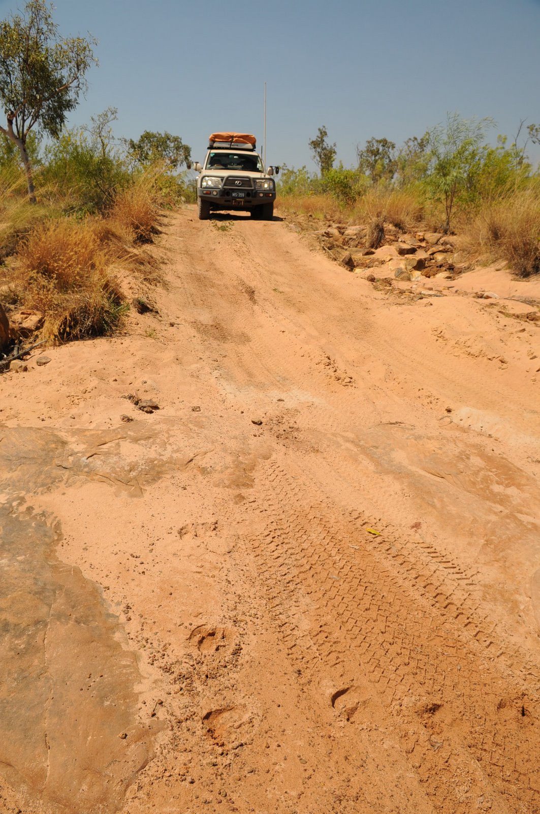
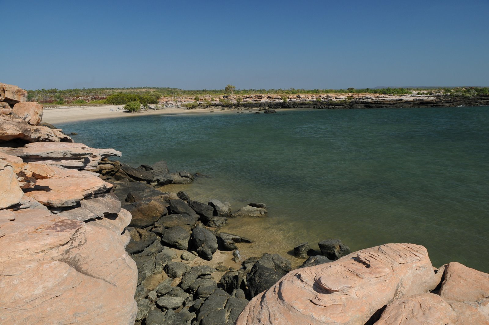
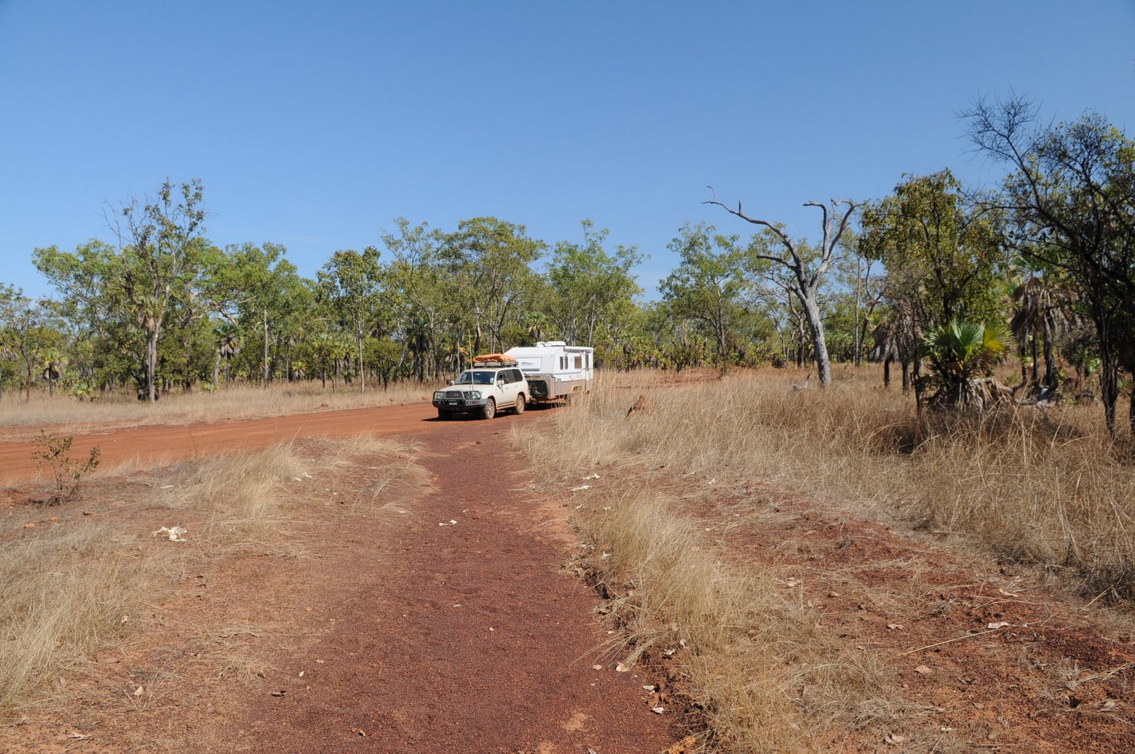
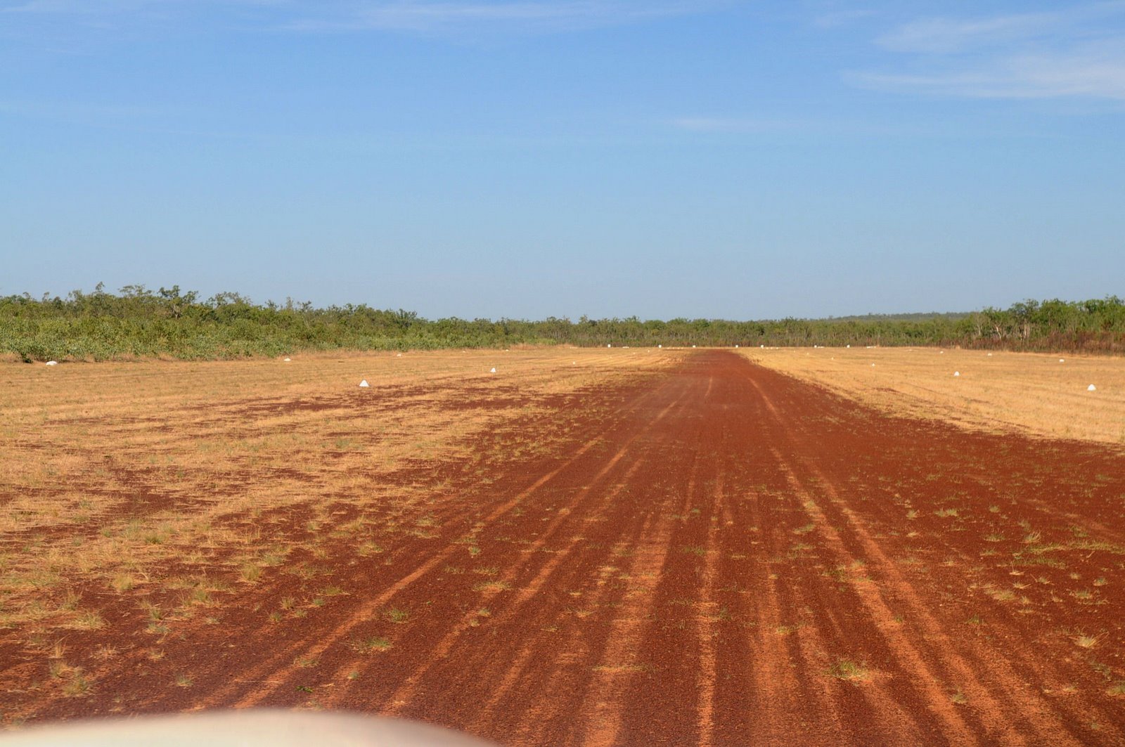
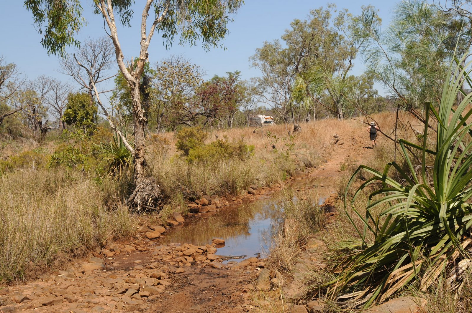
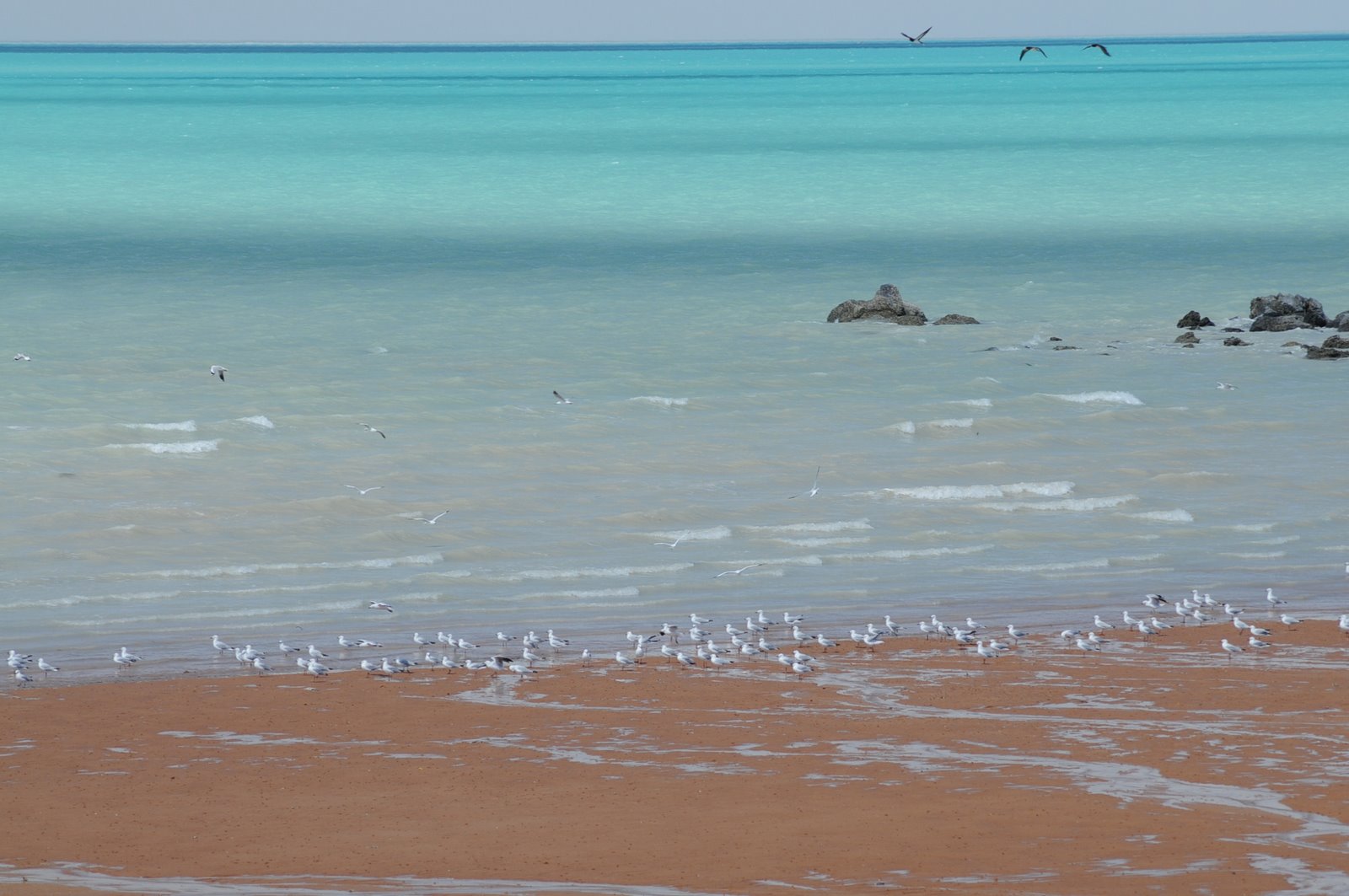
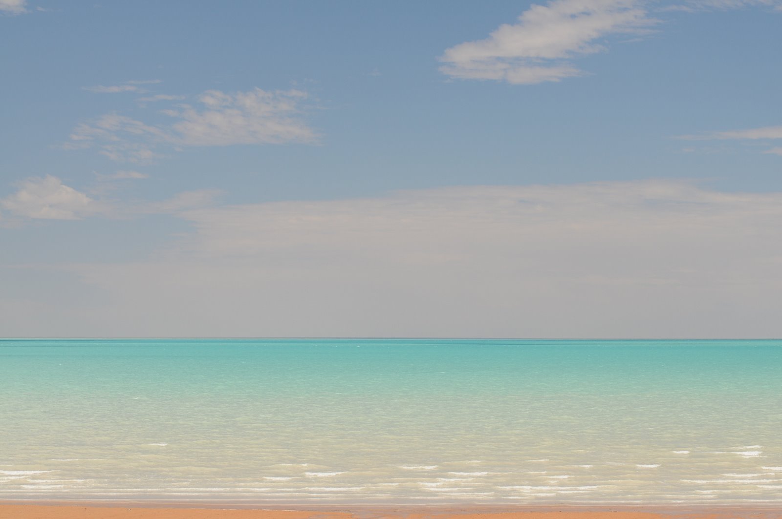
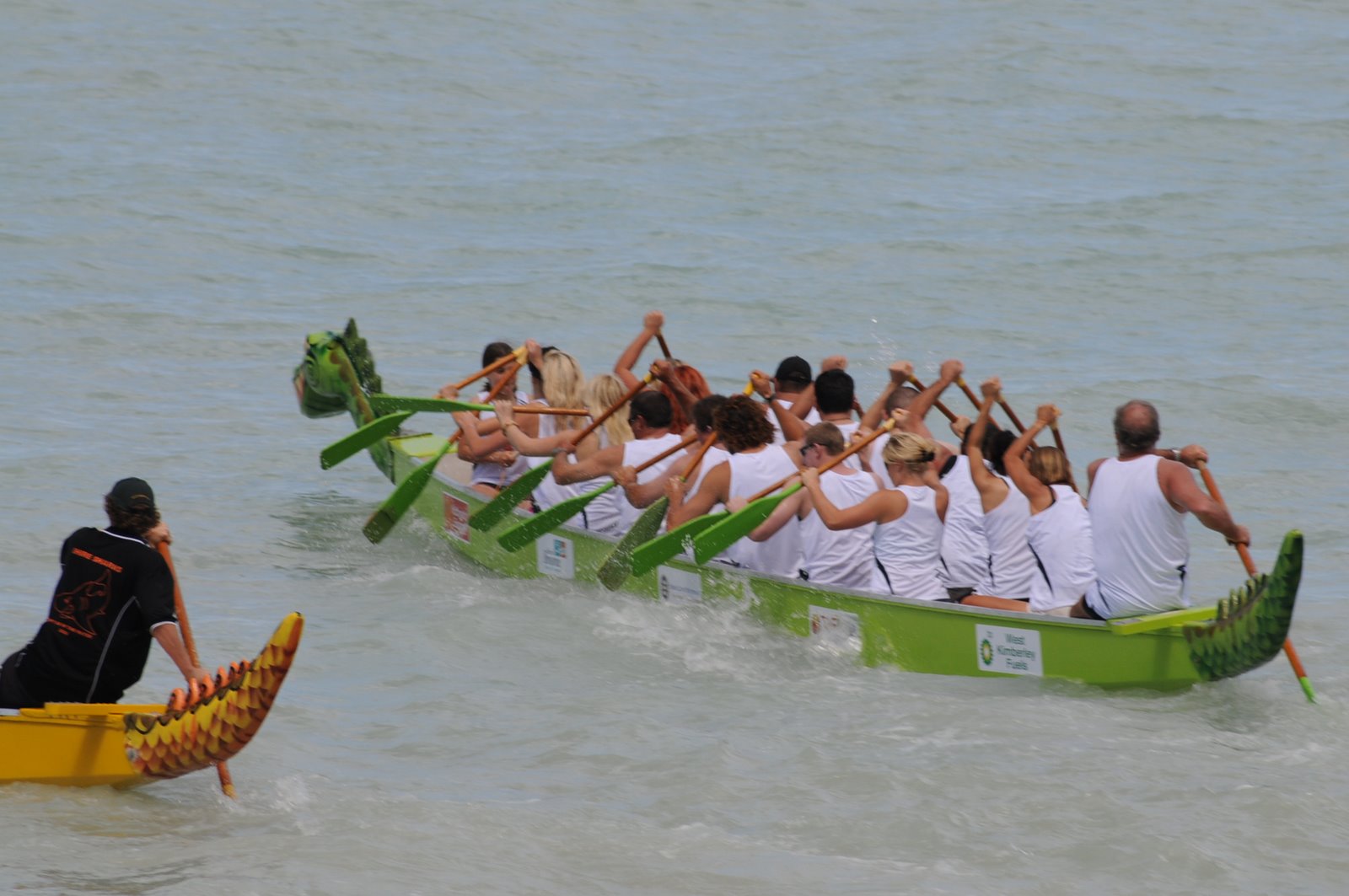
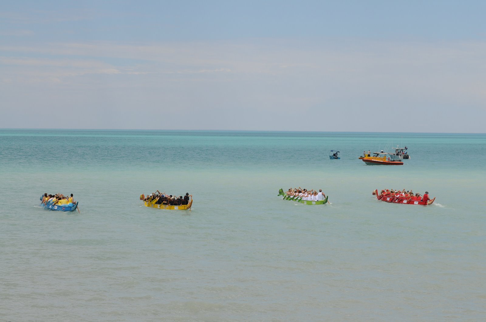
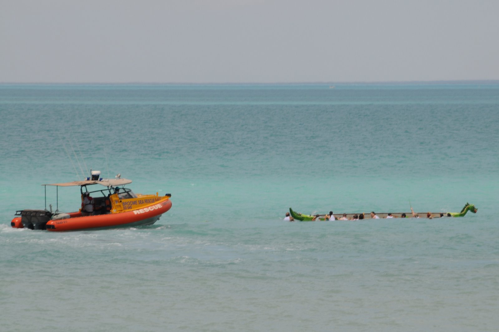
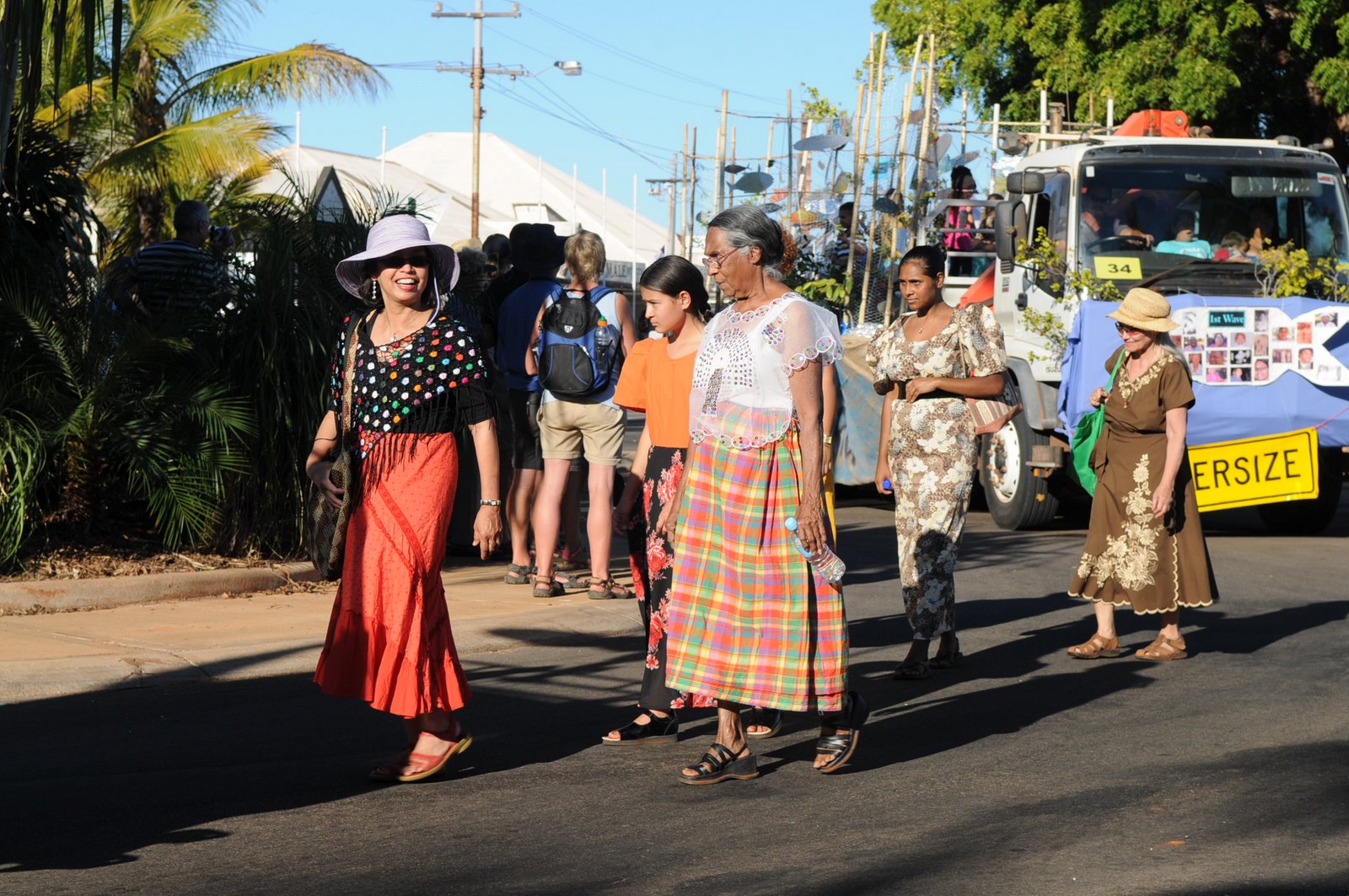
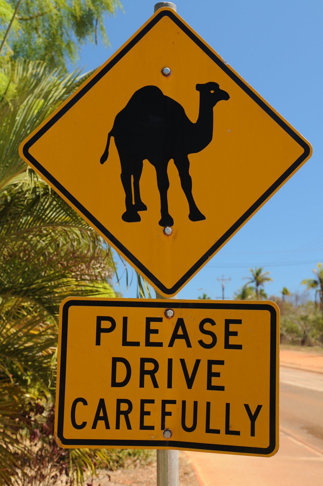
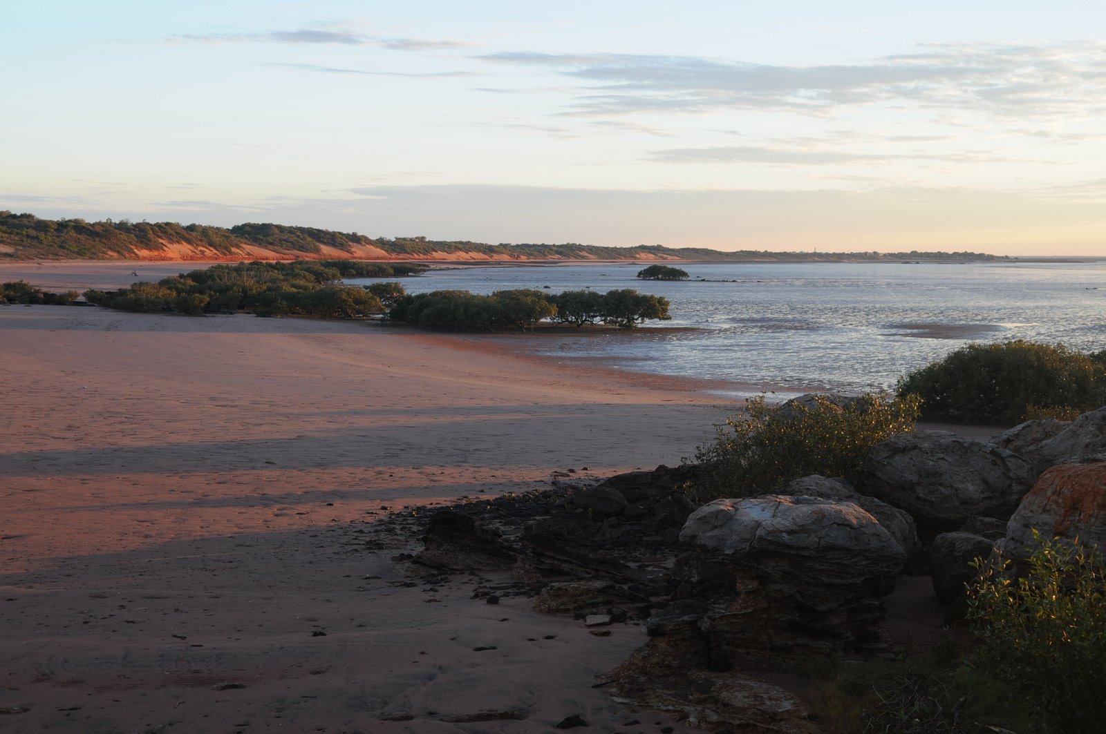
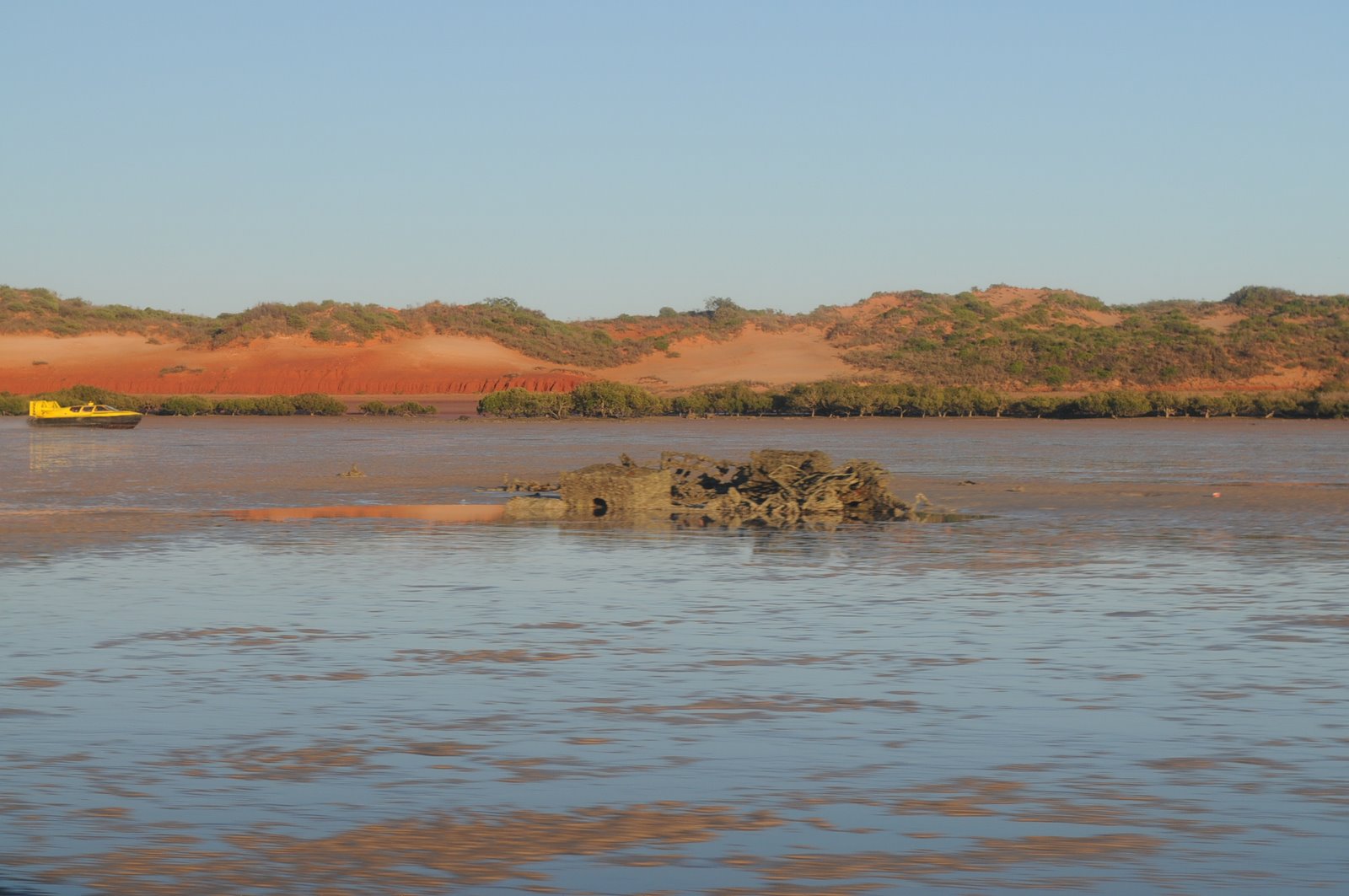
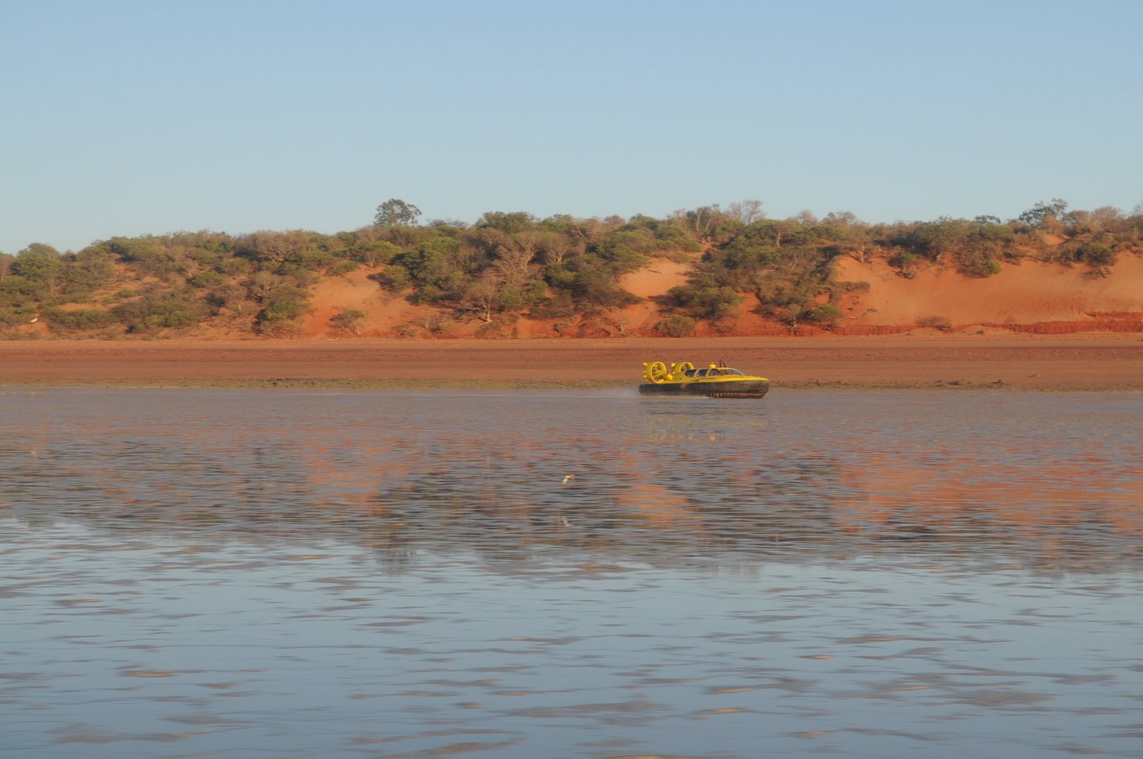
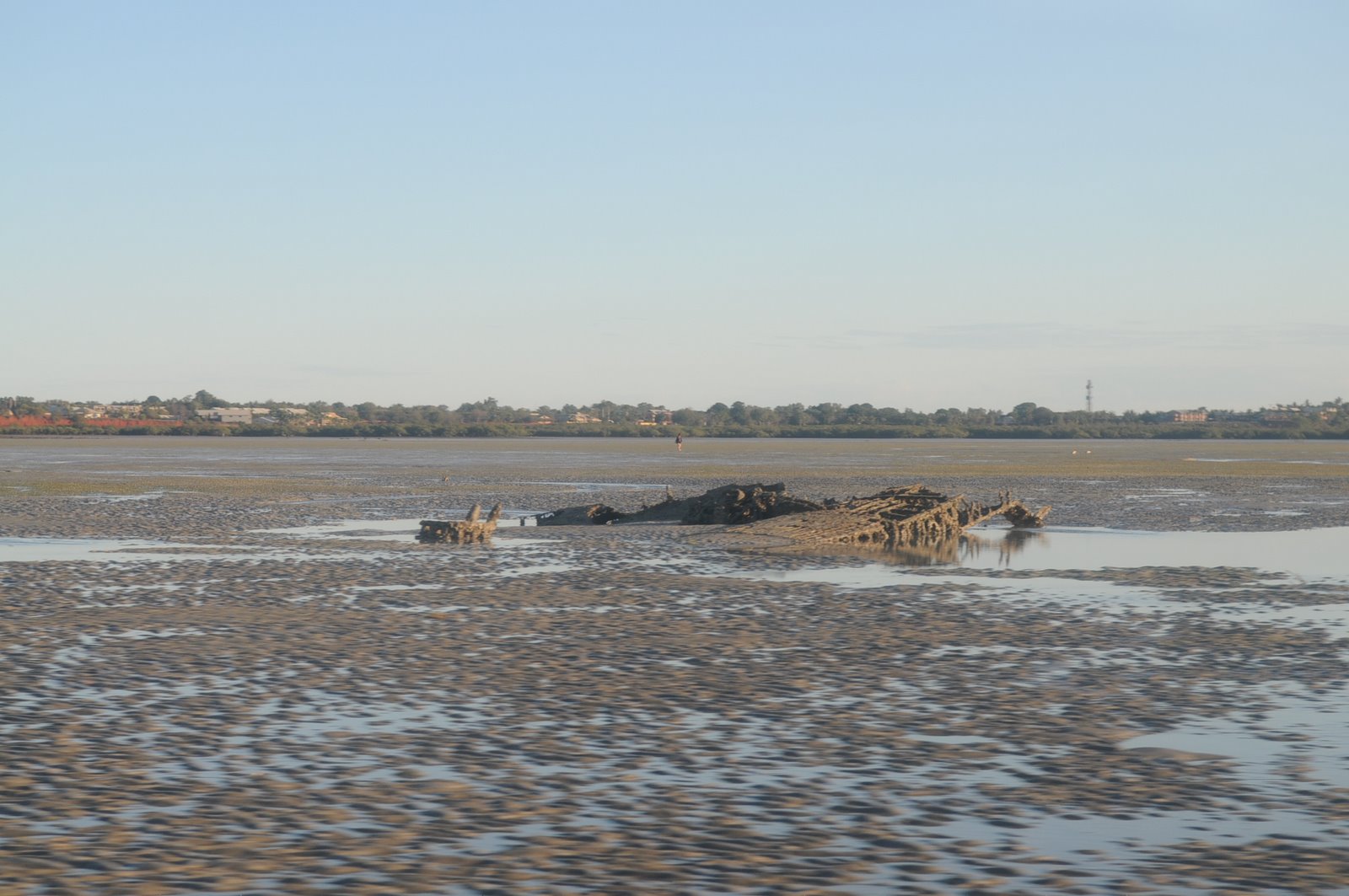
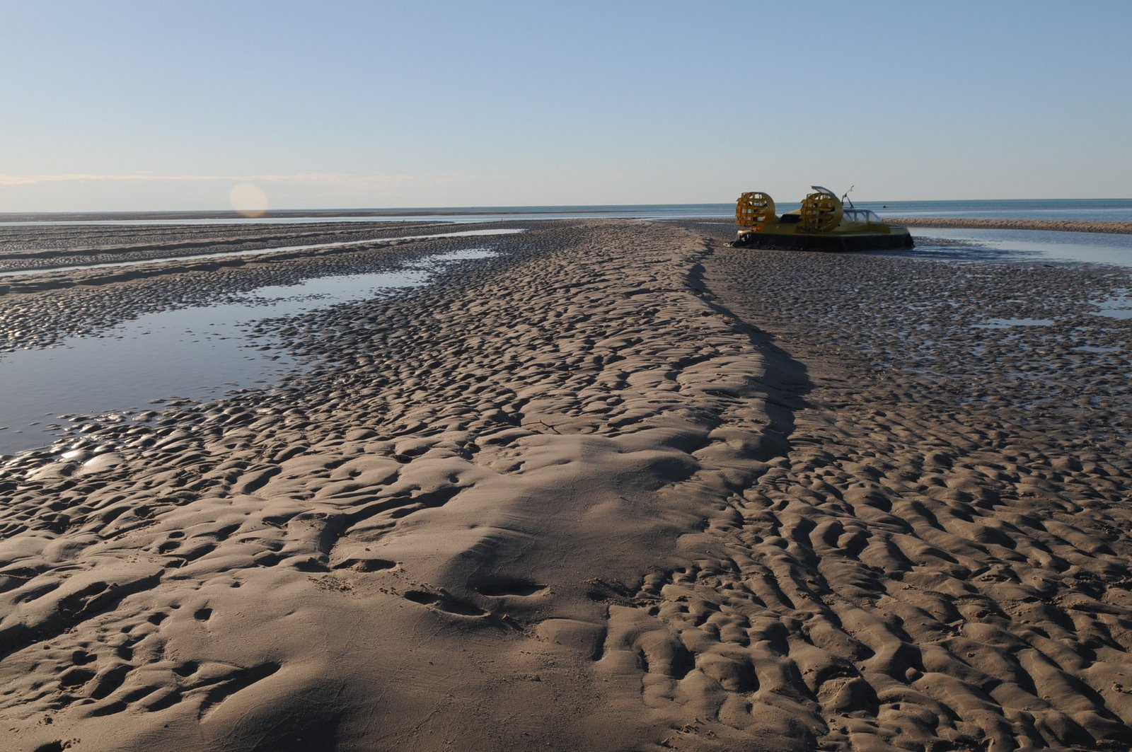
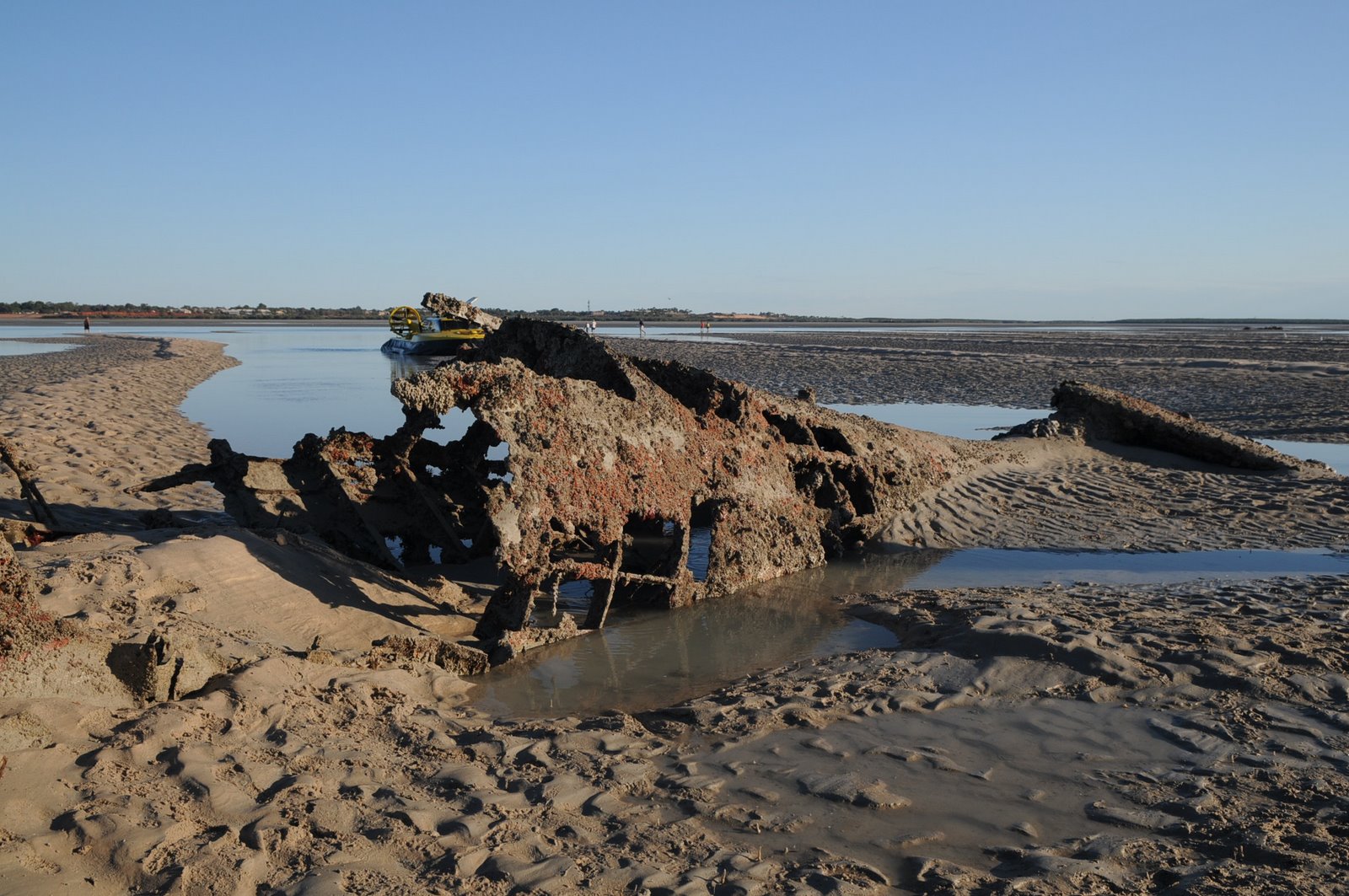
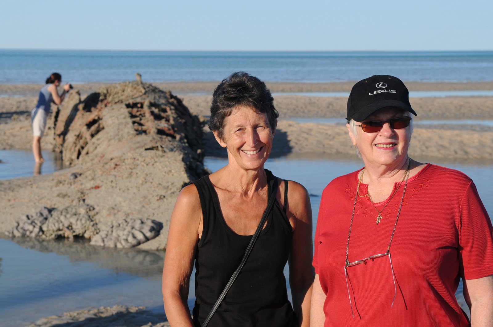
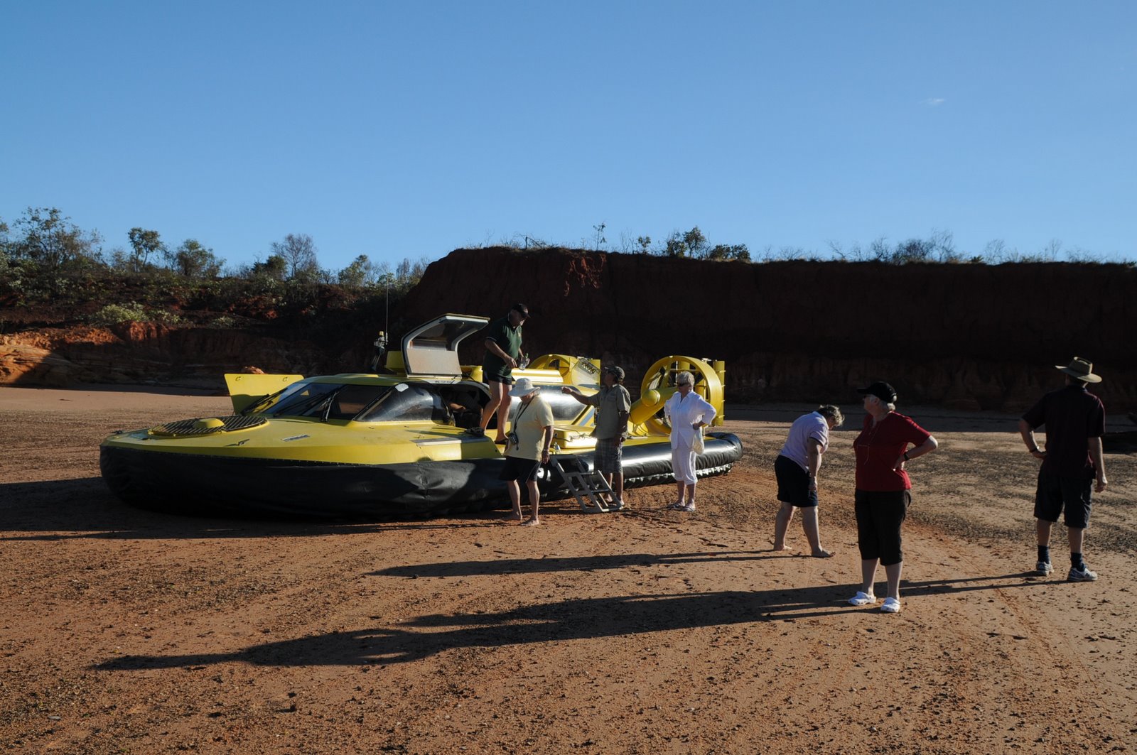
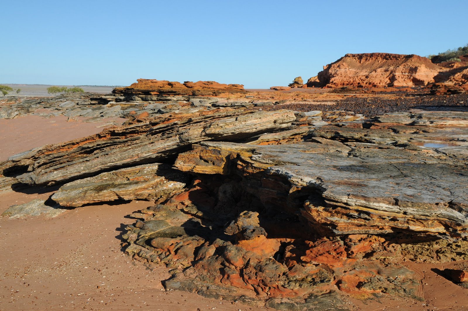
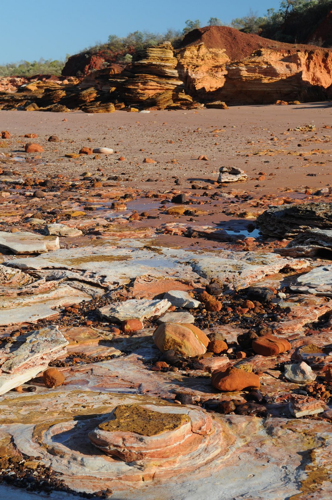
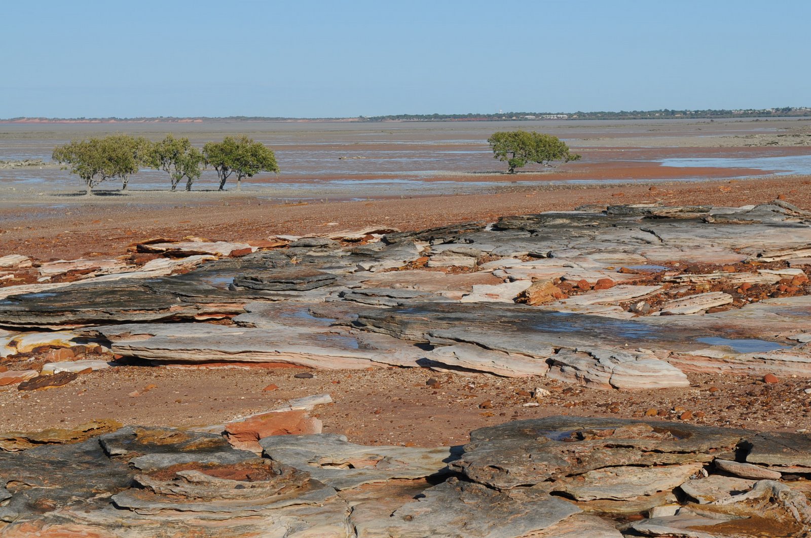
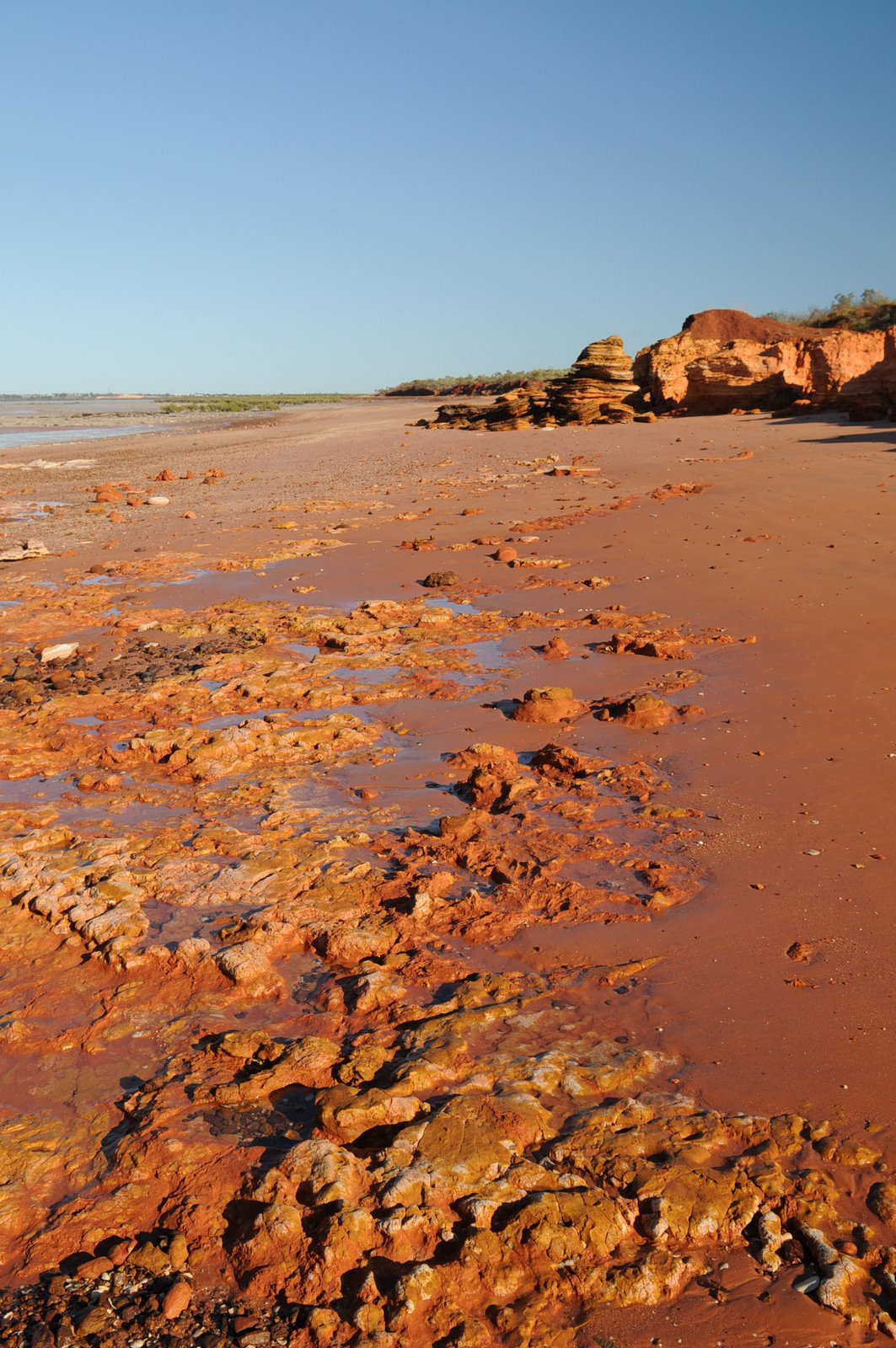
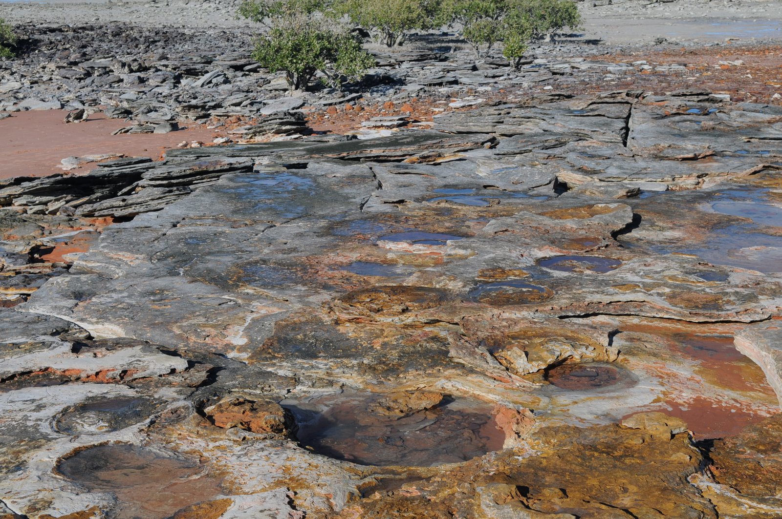
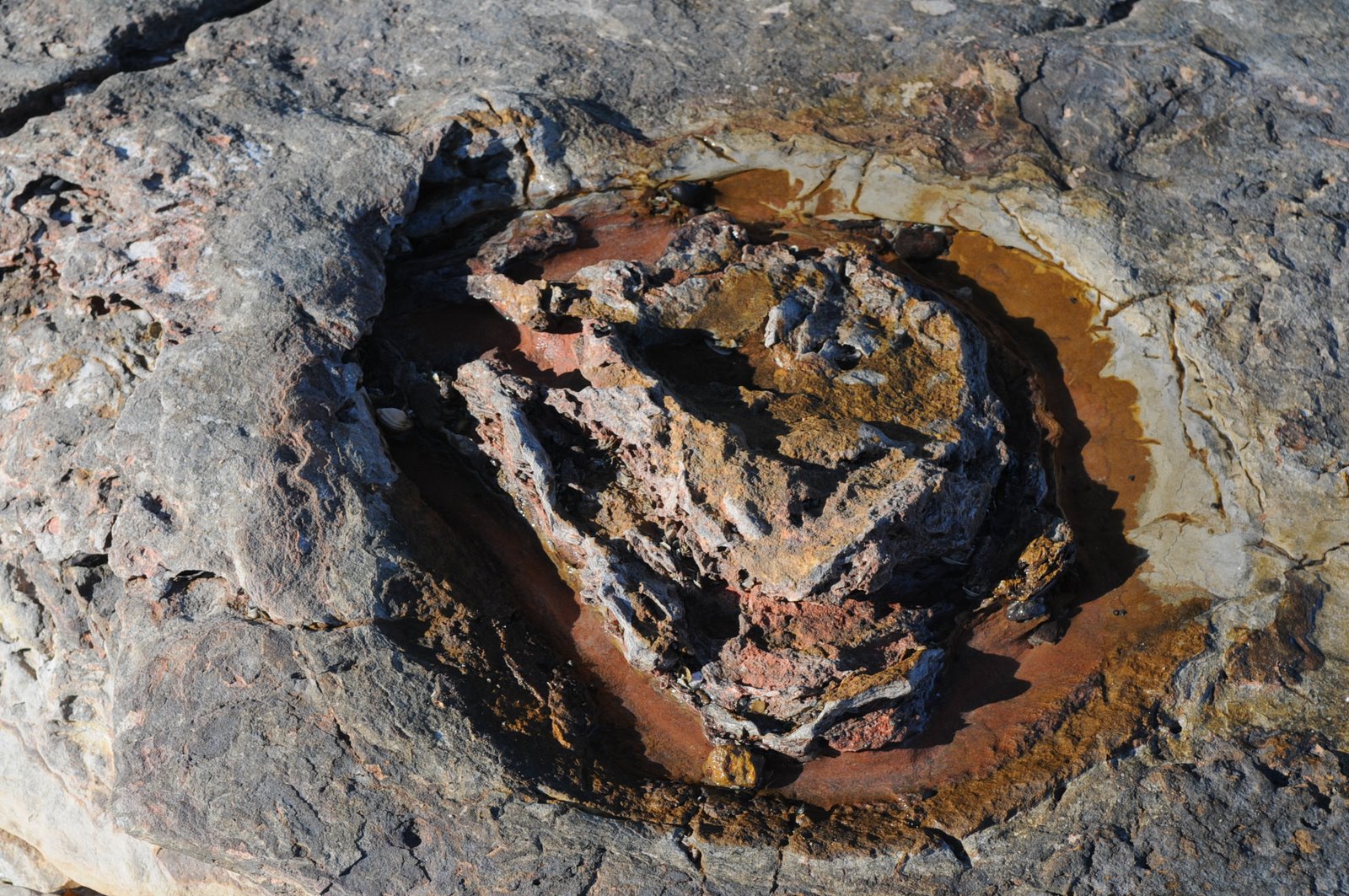
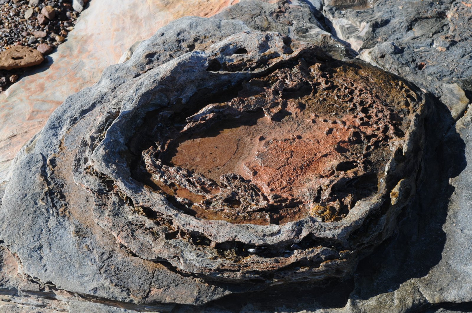
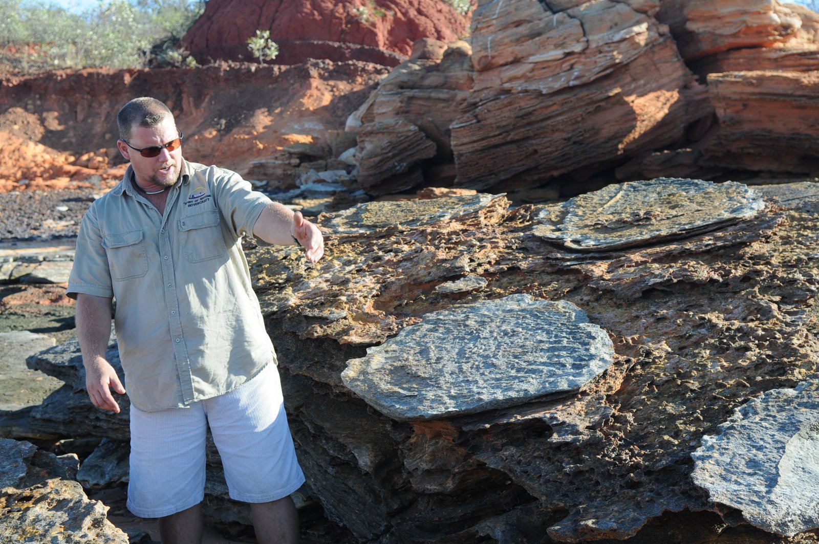
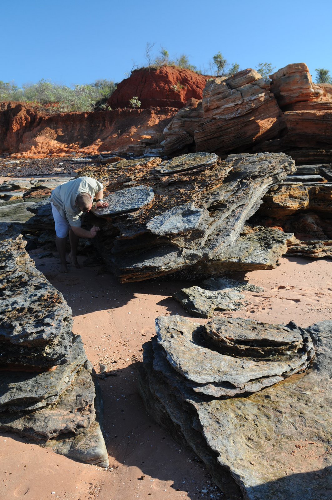
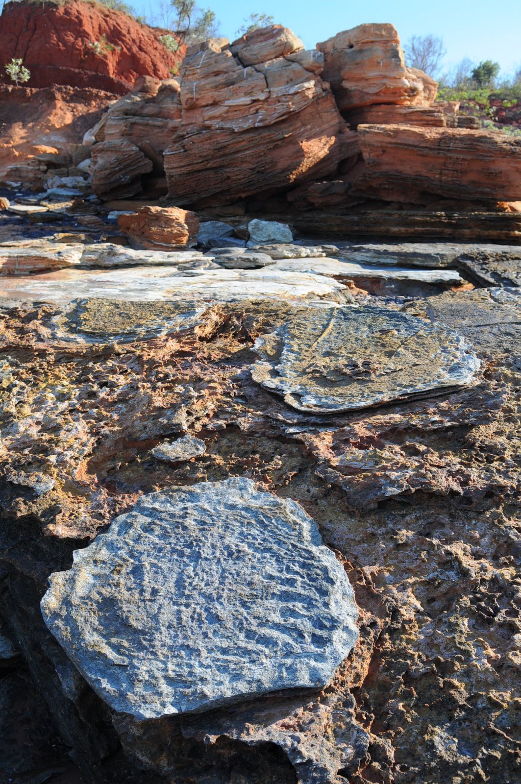
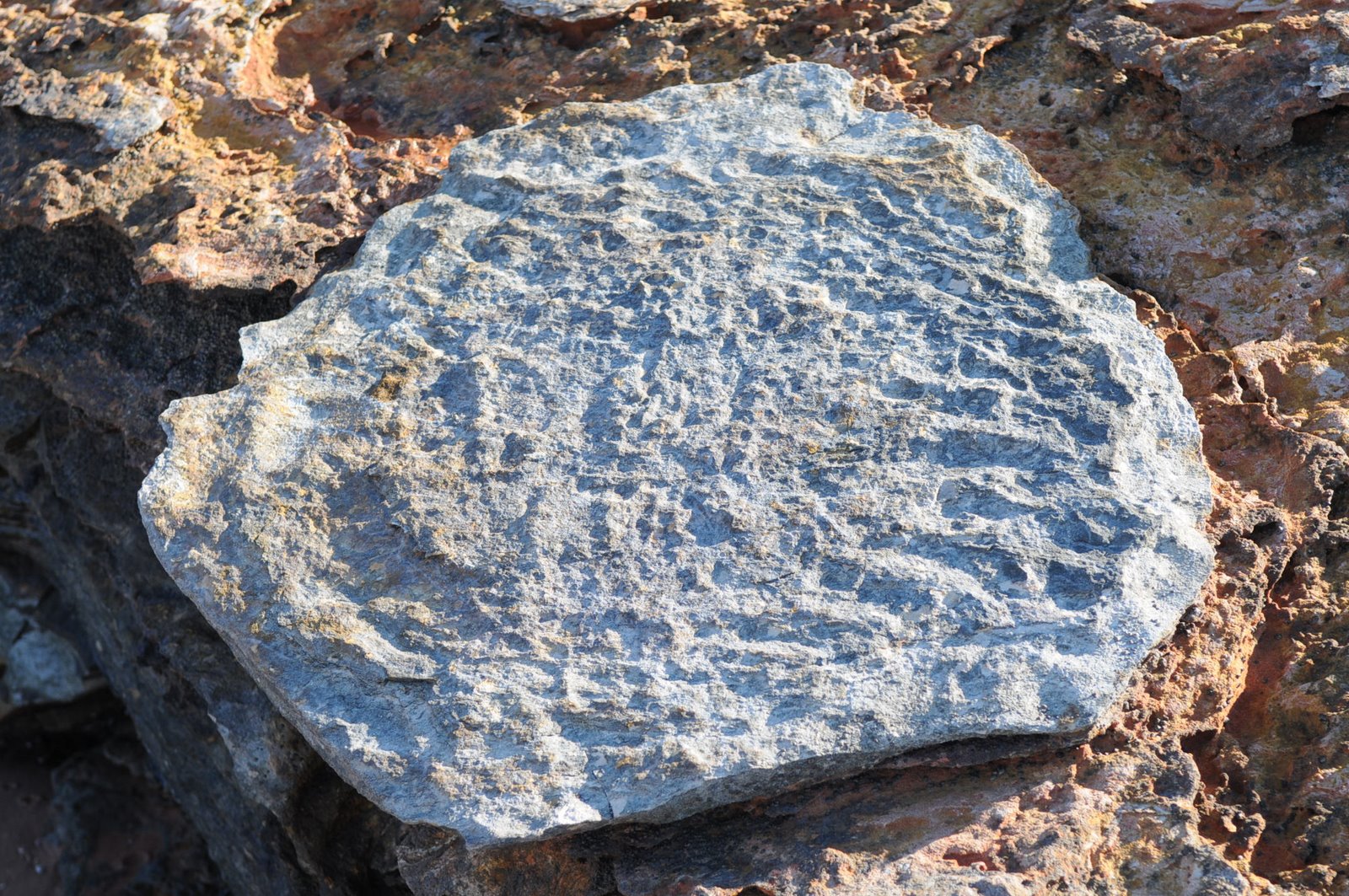
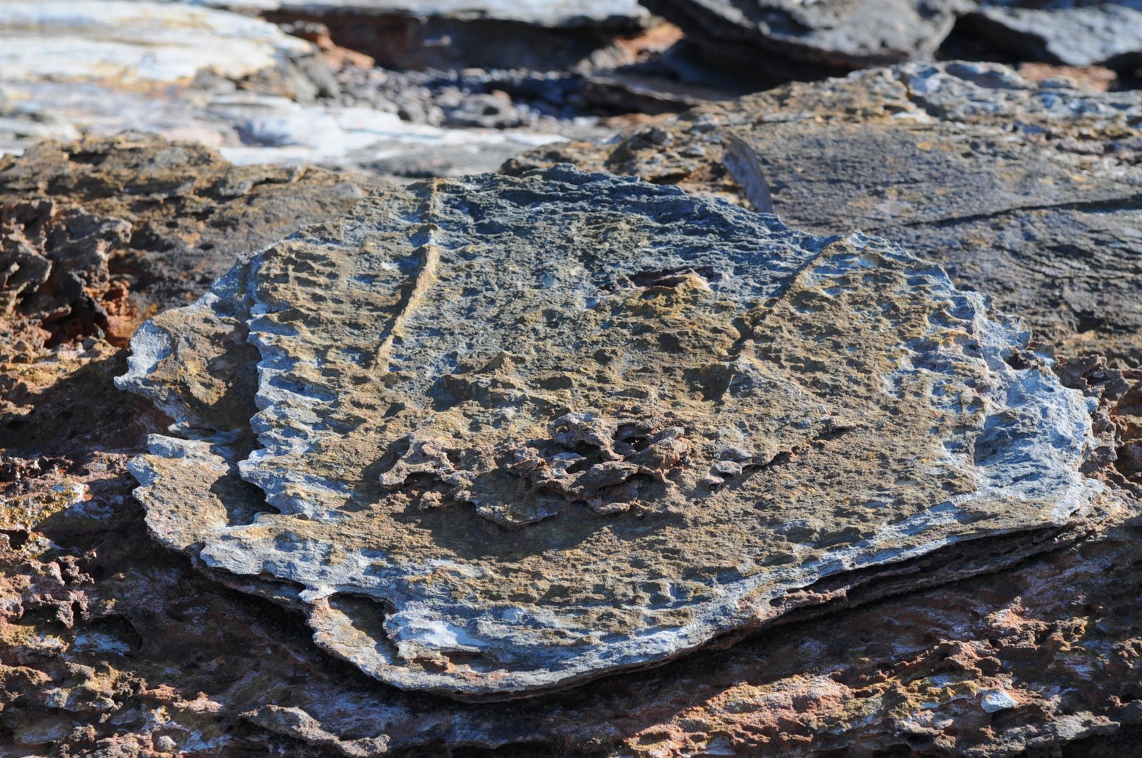
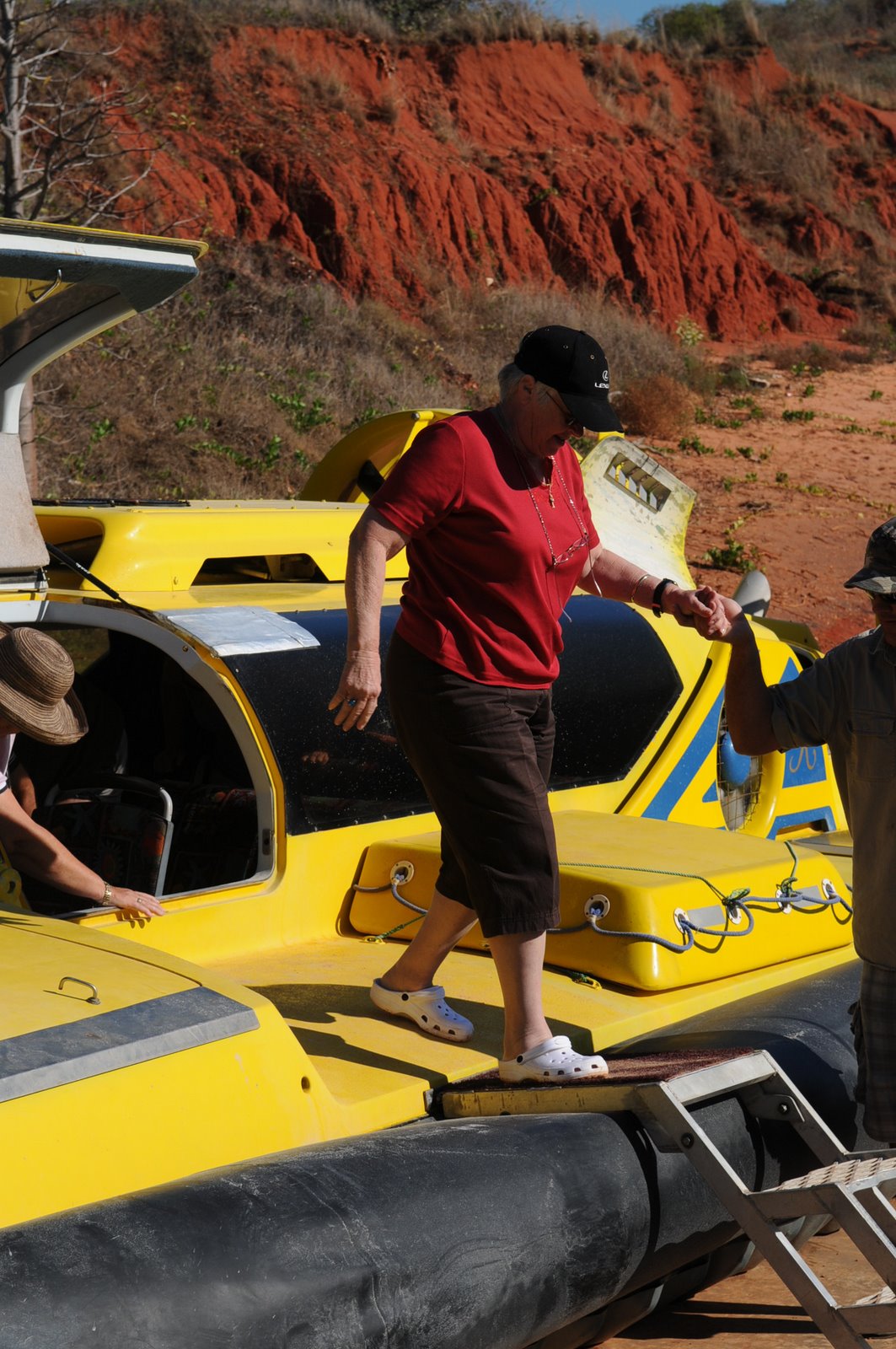
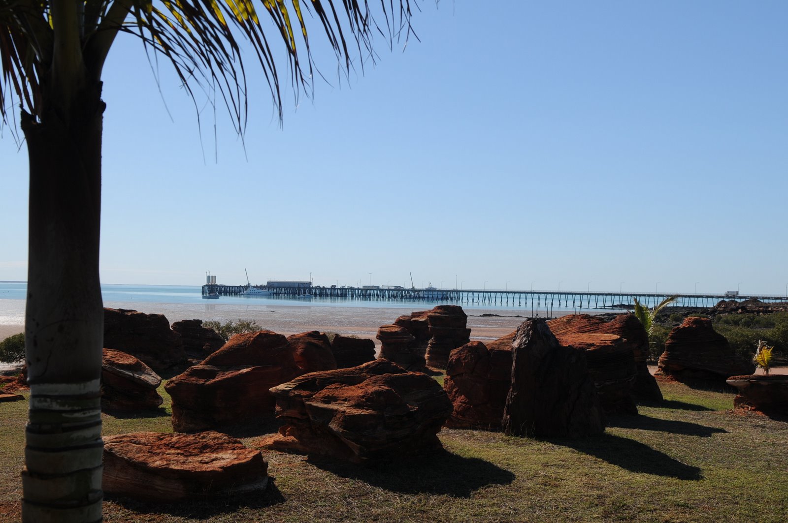
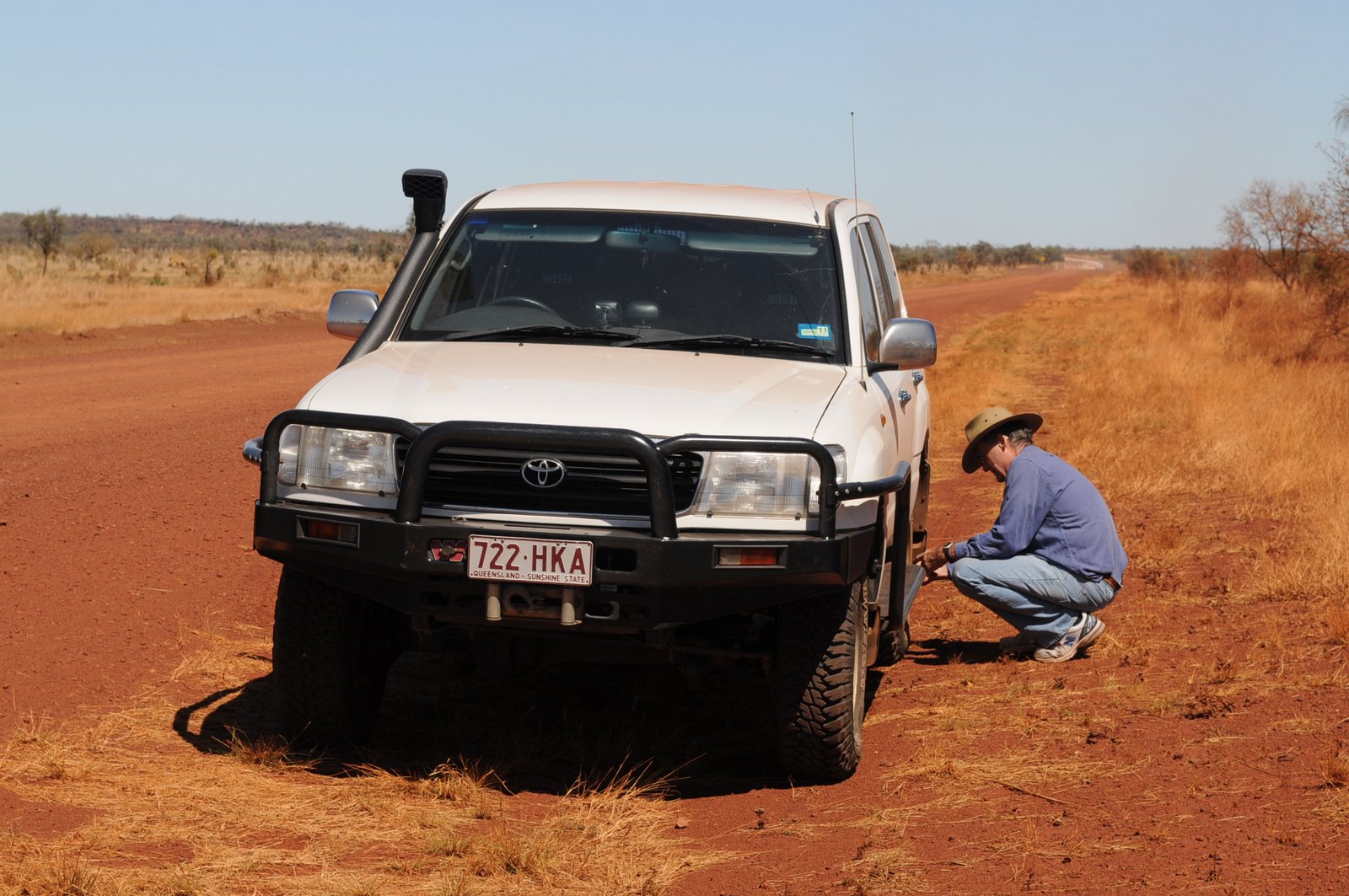
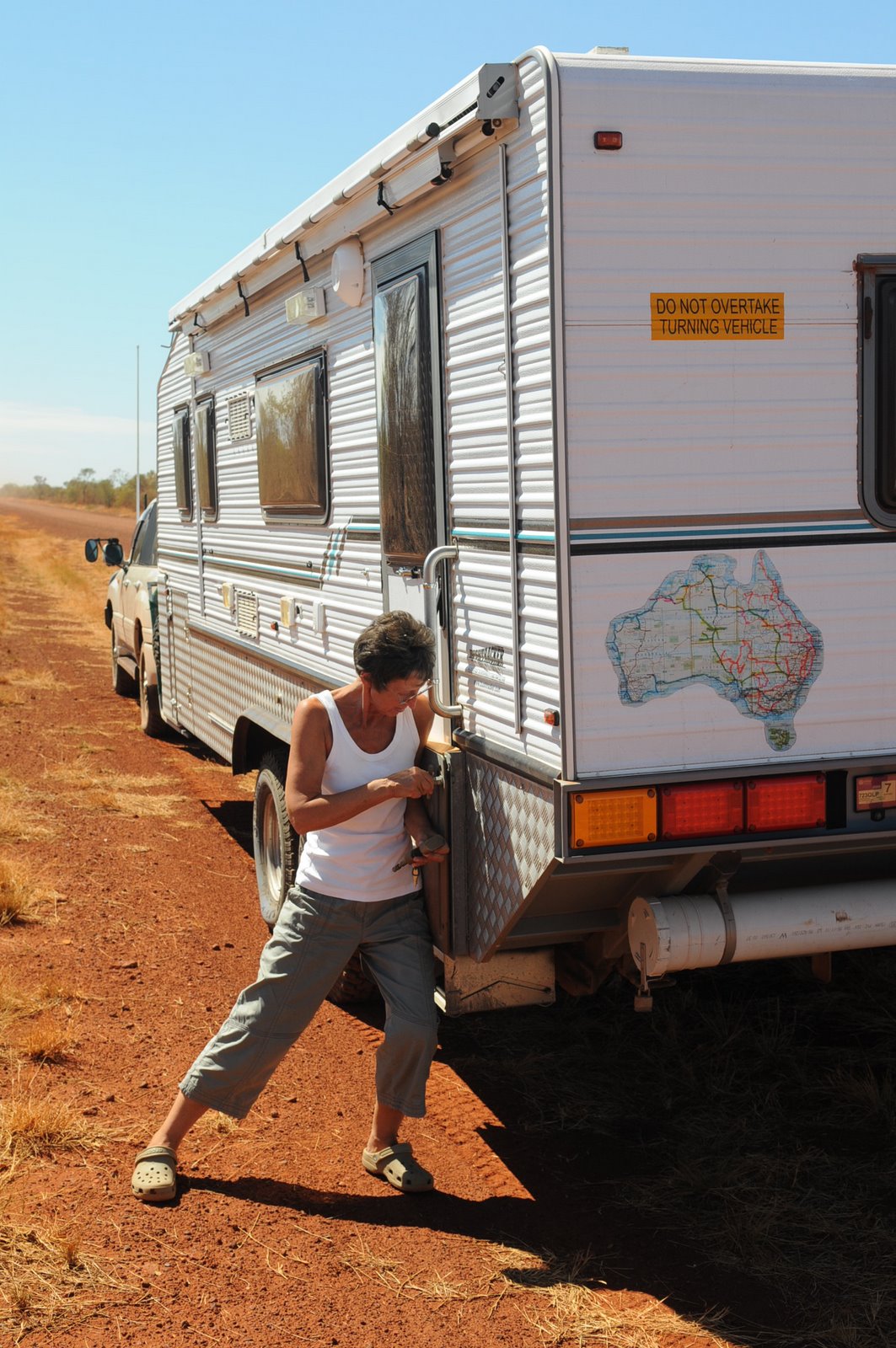
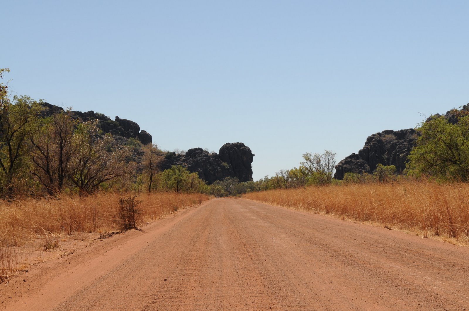
Our last stop before heading back to Broome was Windjana Gorge. The road was shocking with terrible corrugations which caused the fridge in our caravan to break a wire and so we had no fridge in the van and no air conditioning in the car and each day was over 400C.
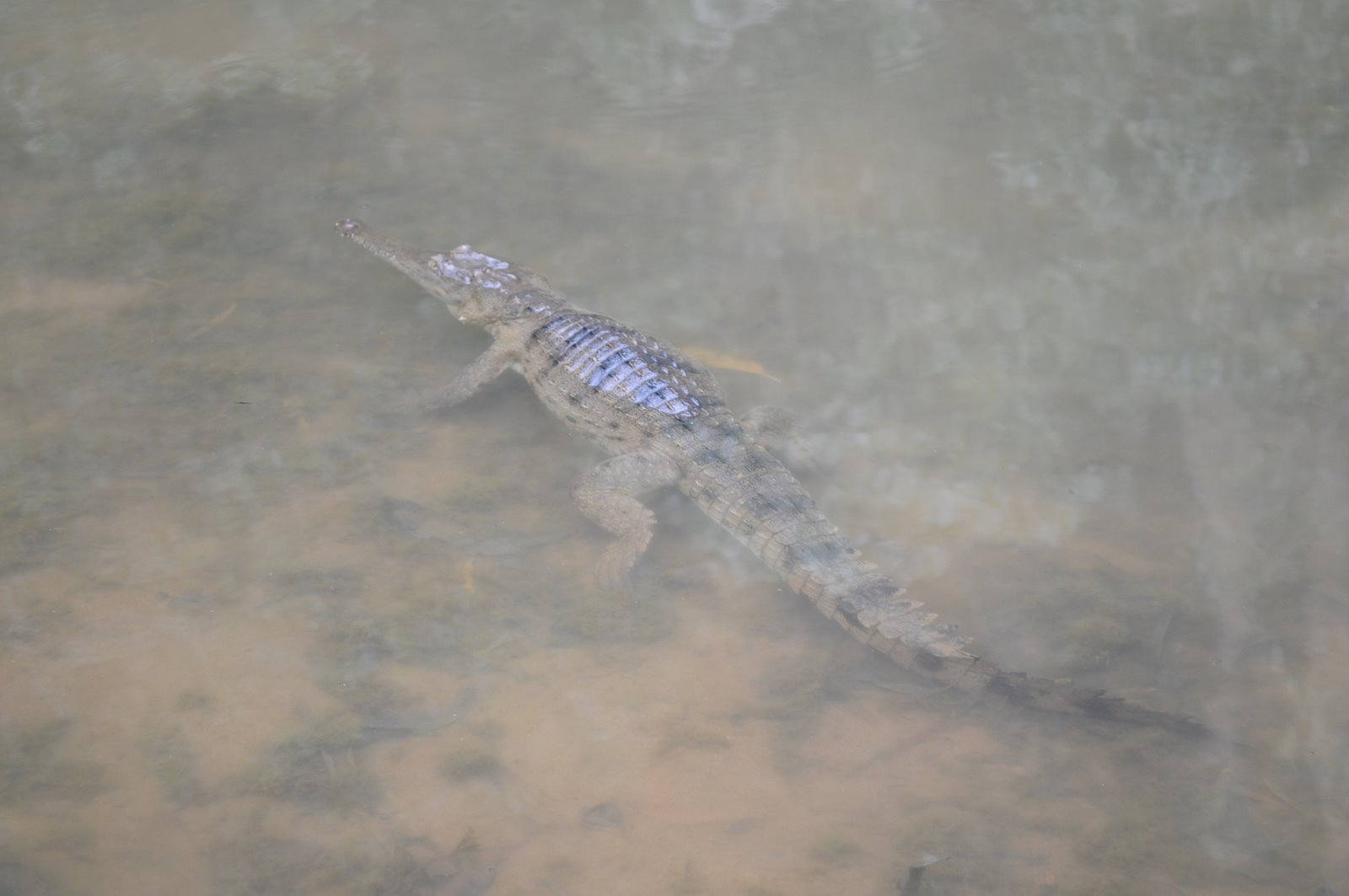
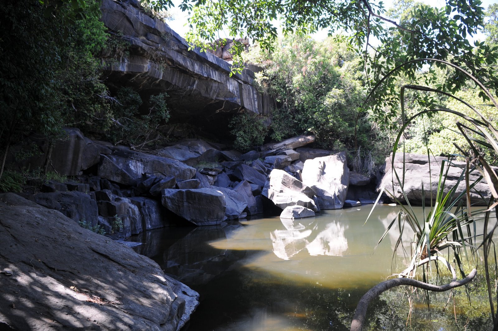
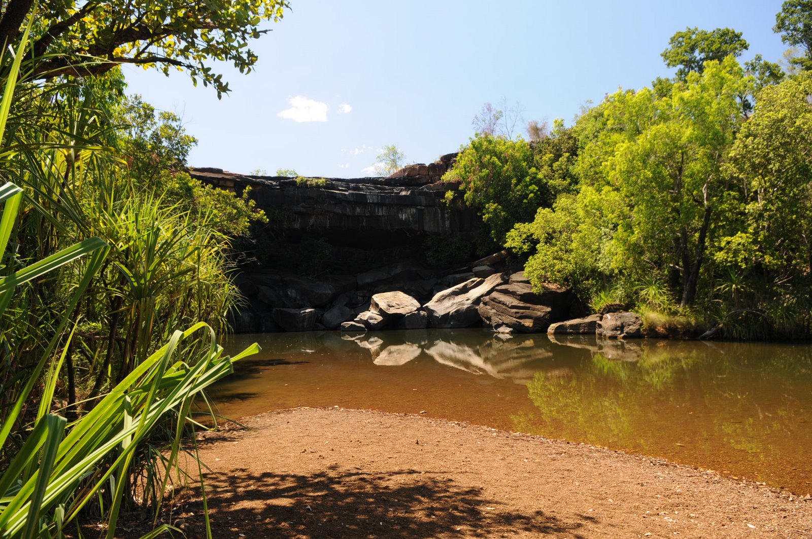
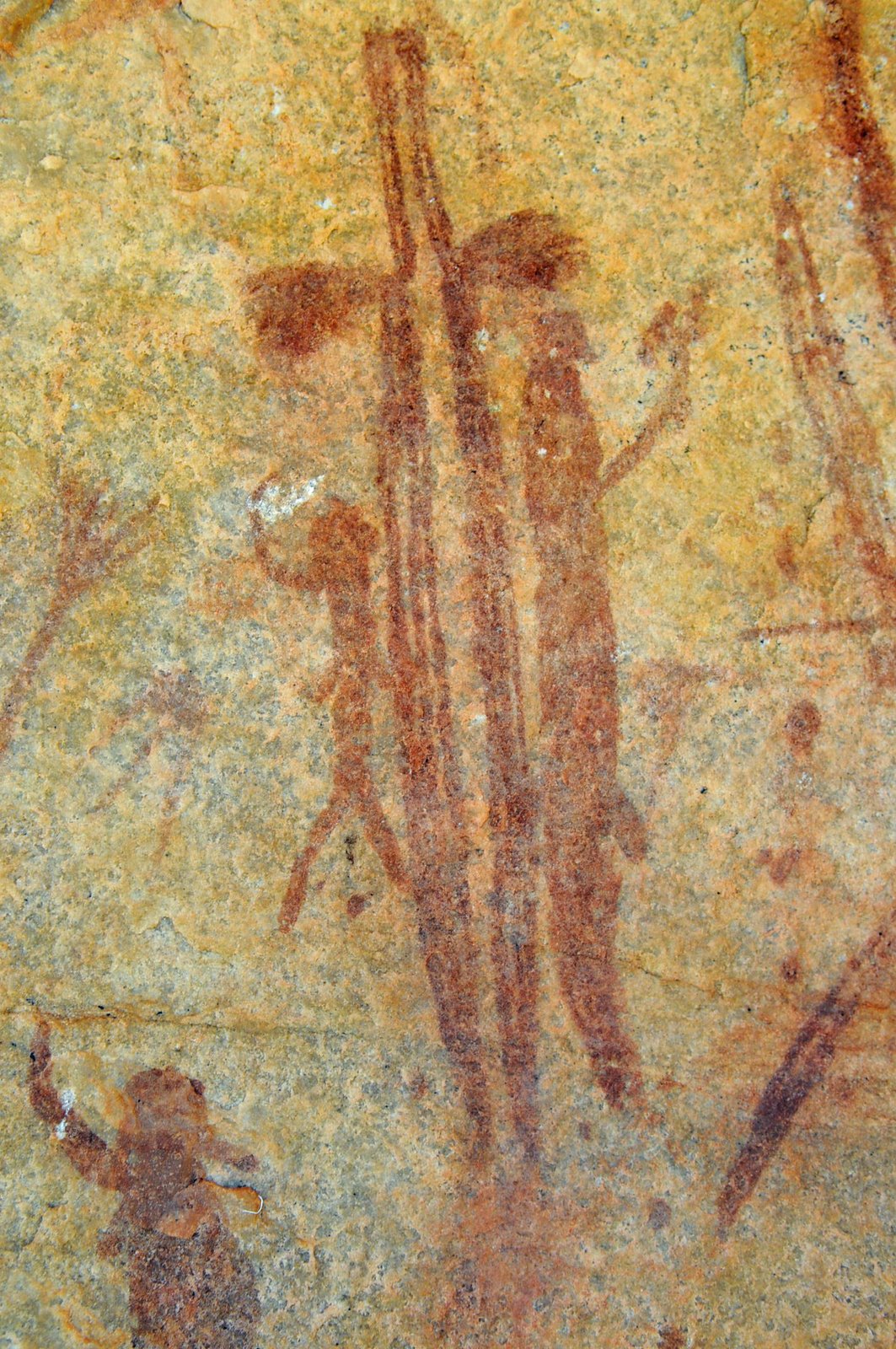
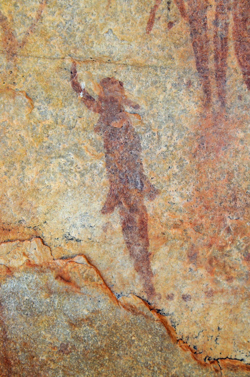
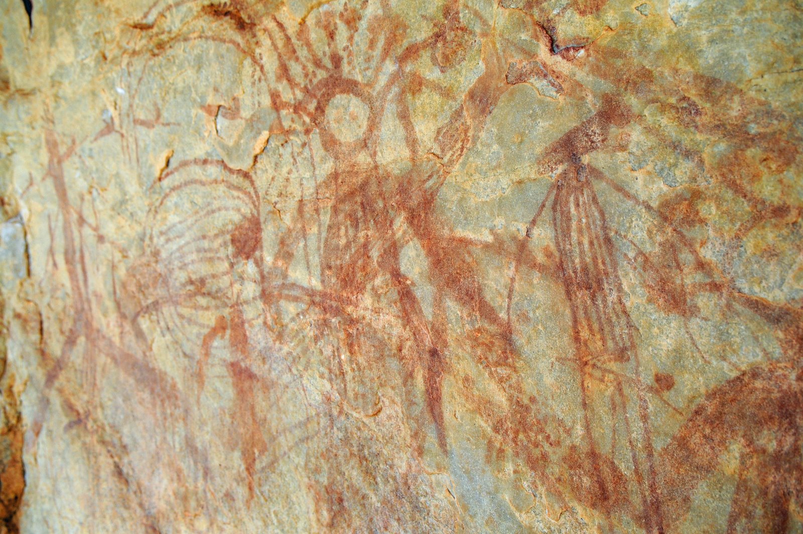
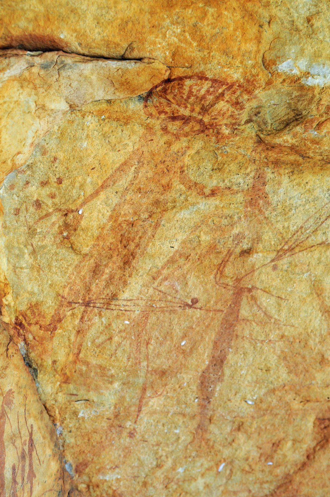
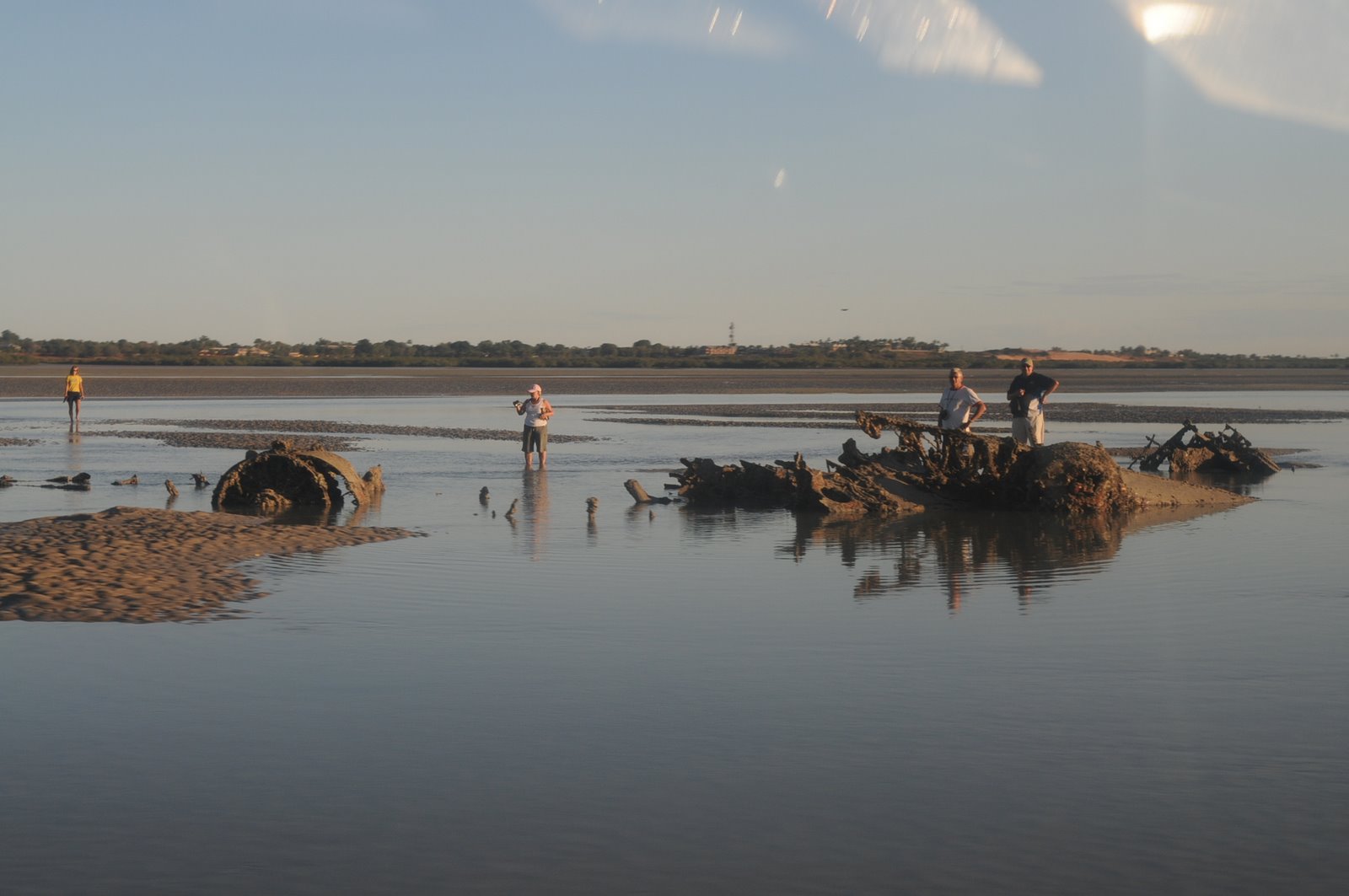
After about 4pm we decided to walk into Windjana Gorge. We have been here twice before but have never been here so late in the dry nor seen it with so little water. It made such a difference to how the gorge looked. We walked up to where the fresh water crocodiles were lying. There were still as many crocodiles but in a much more confined water area.
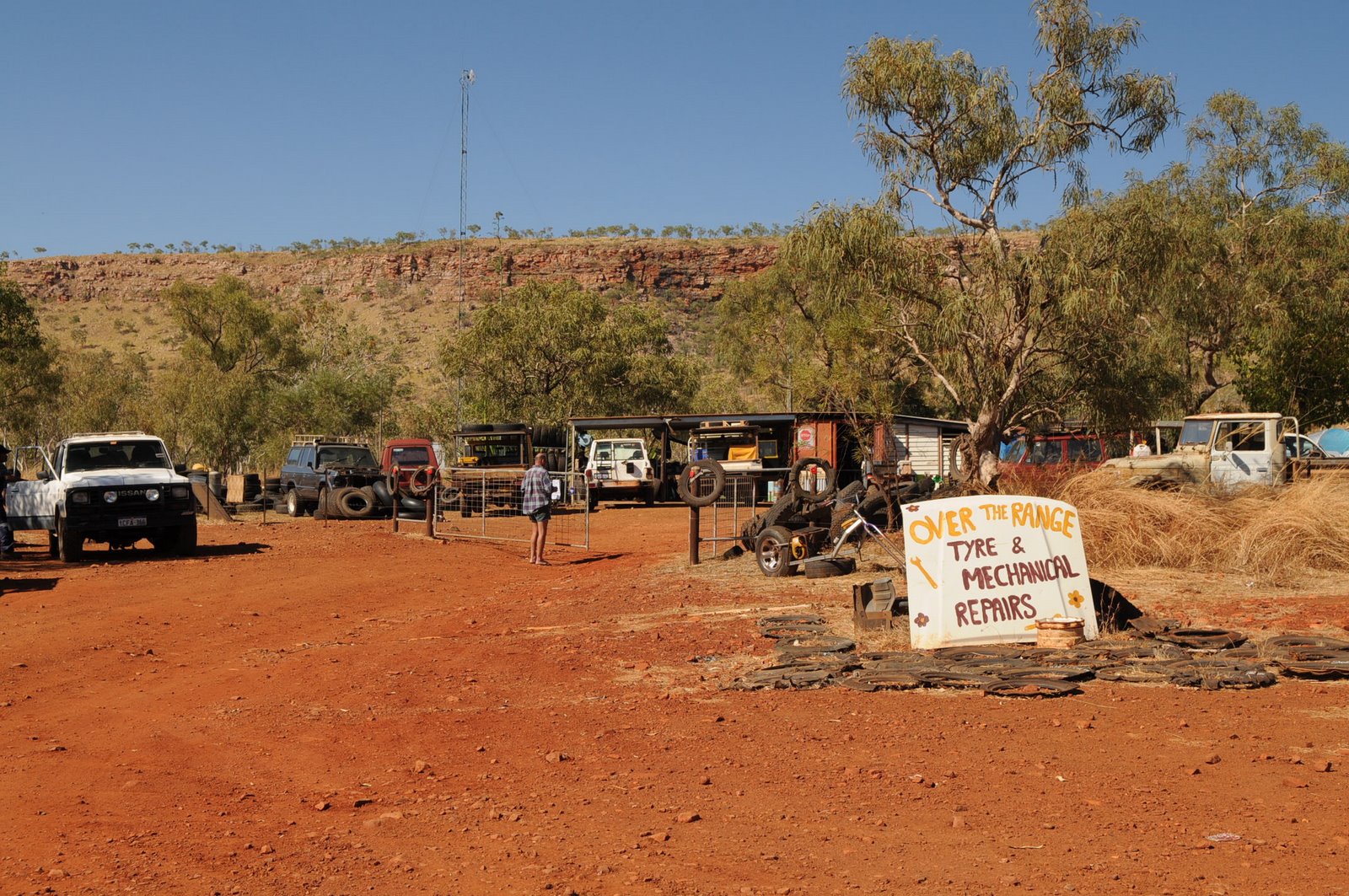
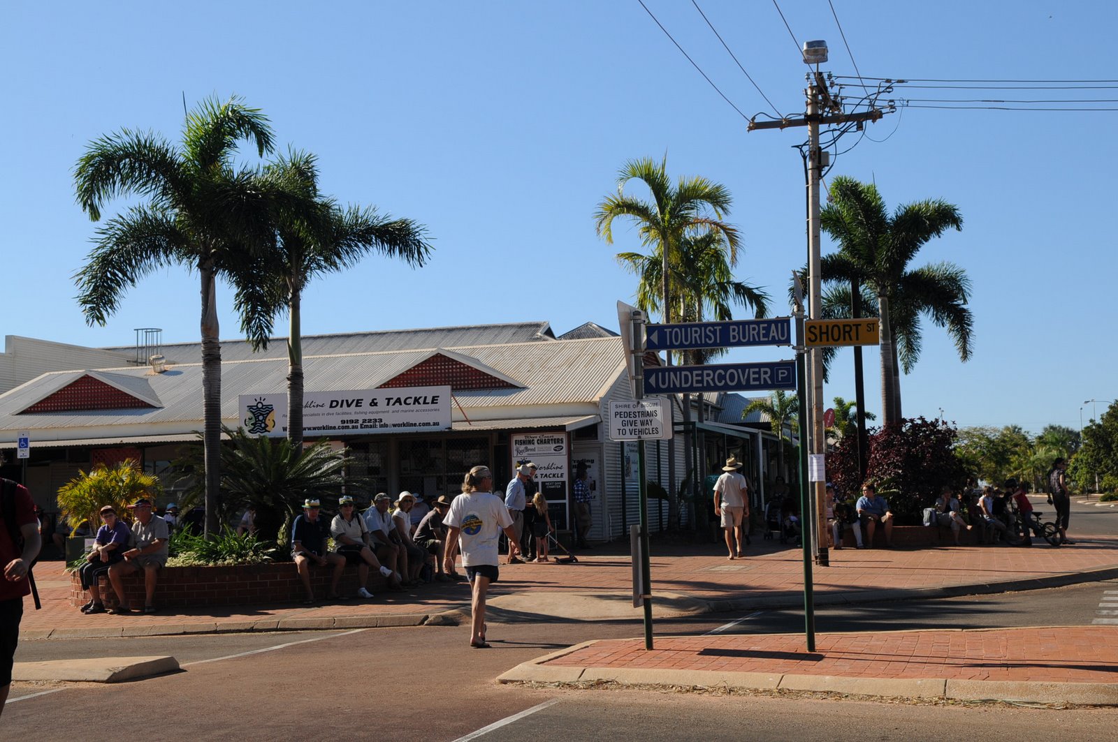
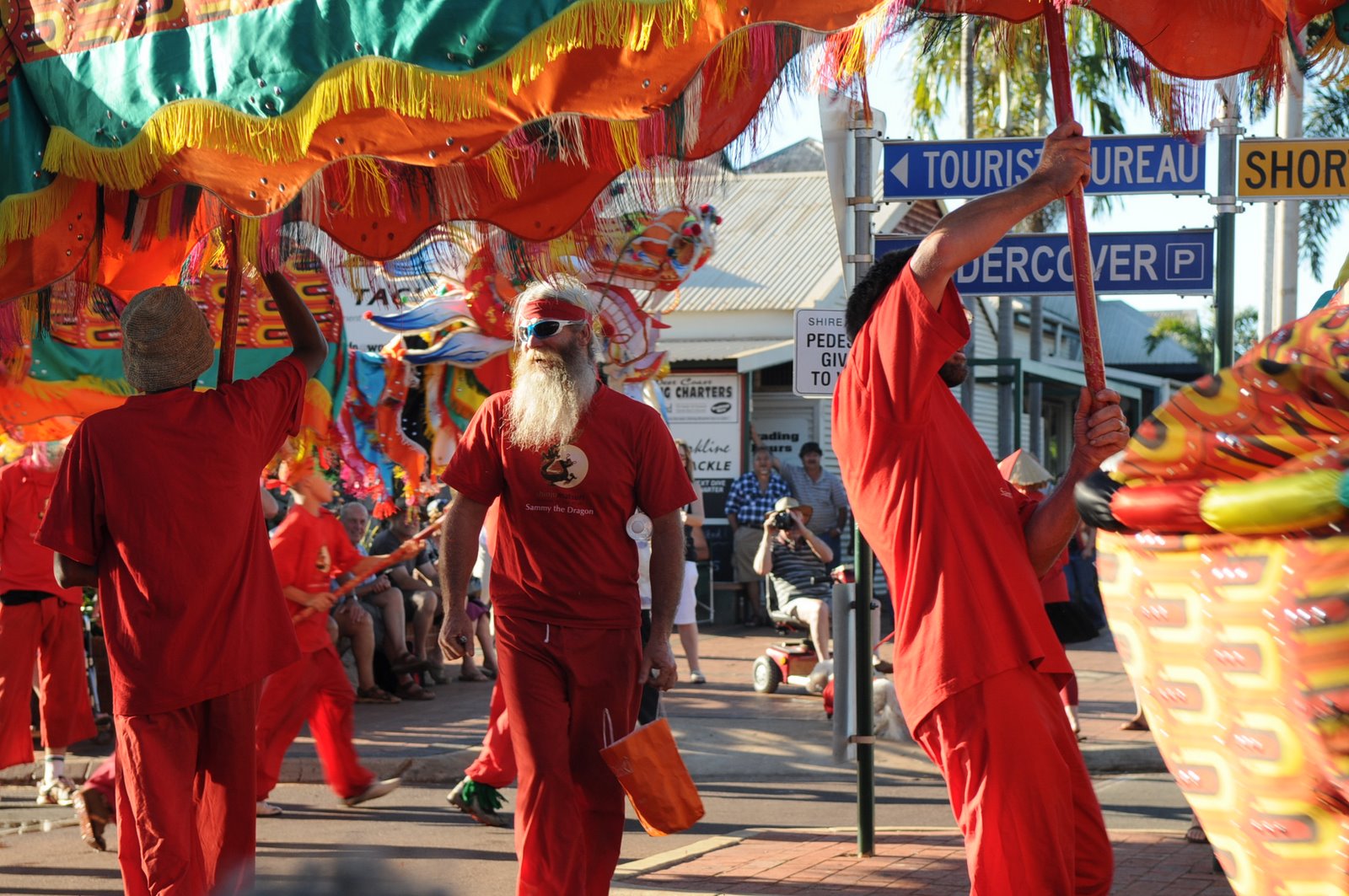
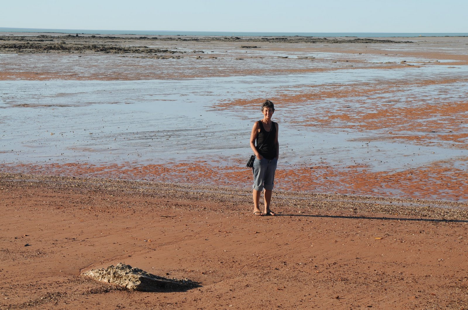
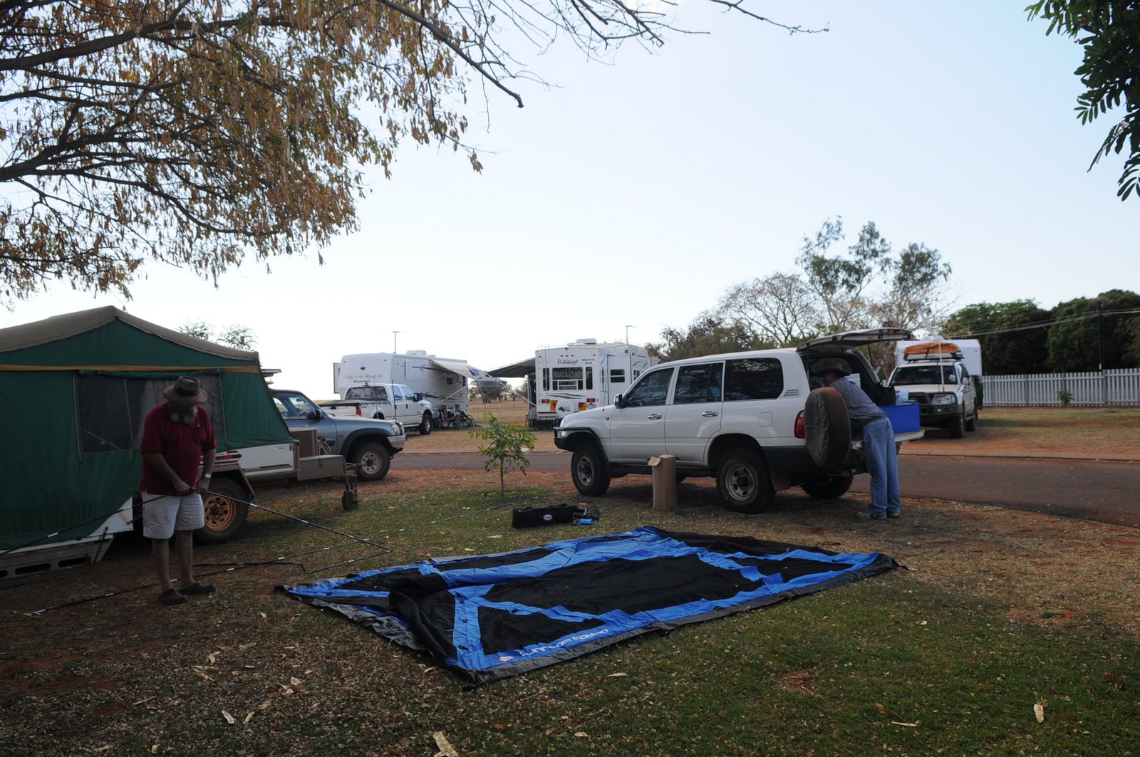
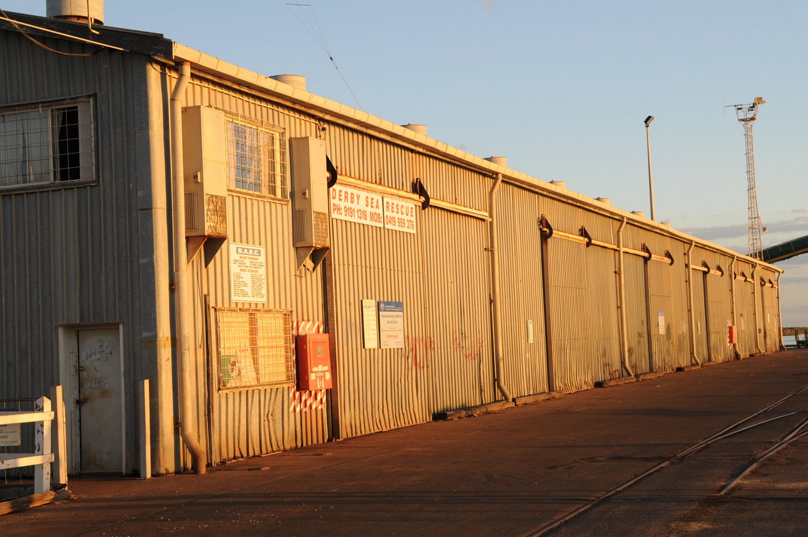
We headed off back to Broome early the next morning to sort out the repairs to car and van before heading down the west coast of Australia. The fridge only had a broken wire and a cracked pipe had caused the air conditioning in the car to fail. The repairs were all completed and a few extra things had to be tightened and bolted down in the van.
posted by Mike and Carol at
10:02 AM
![]()