THE BIG TRIP - 2008
AROUND AUSTRALIA 2008
Saturday 13 December – Saturday 20 December
Port Augusta - Melbourne
Blog 19
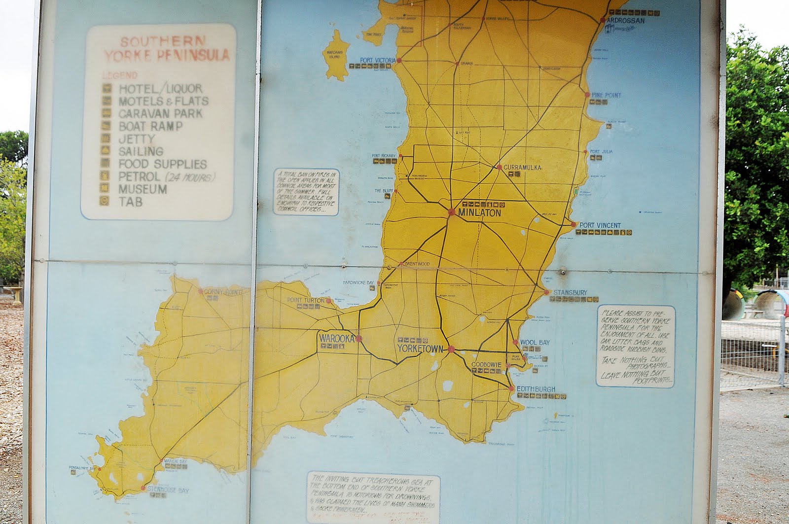
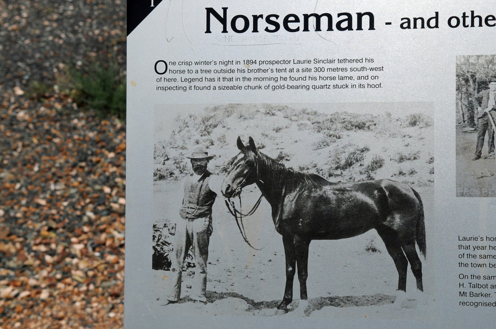
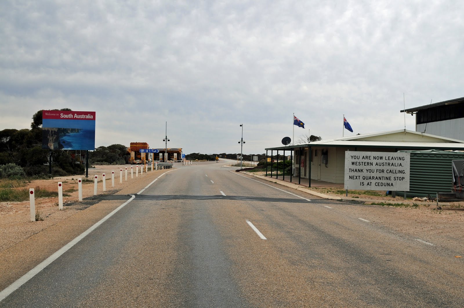
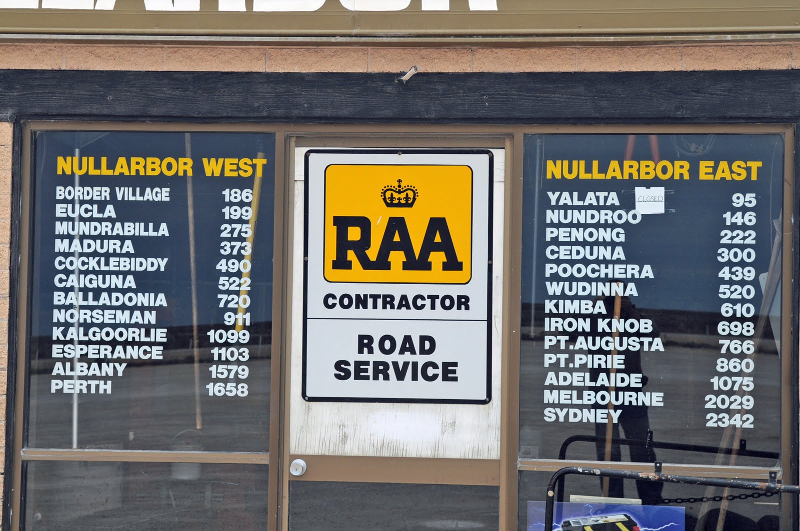
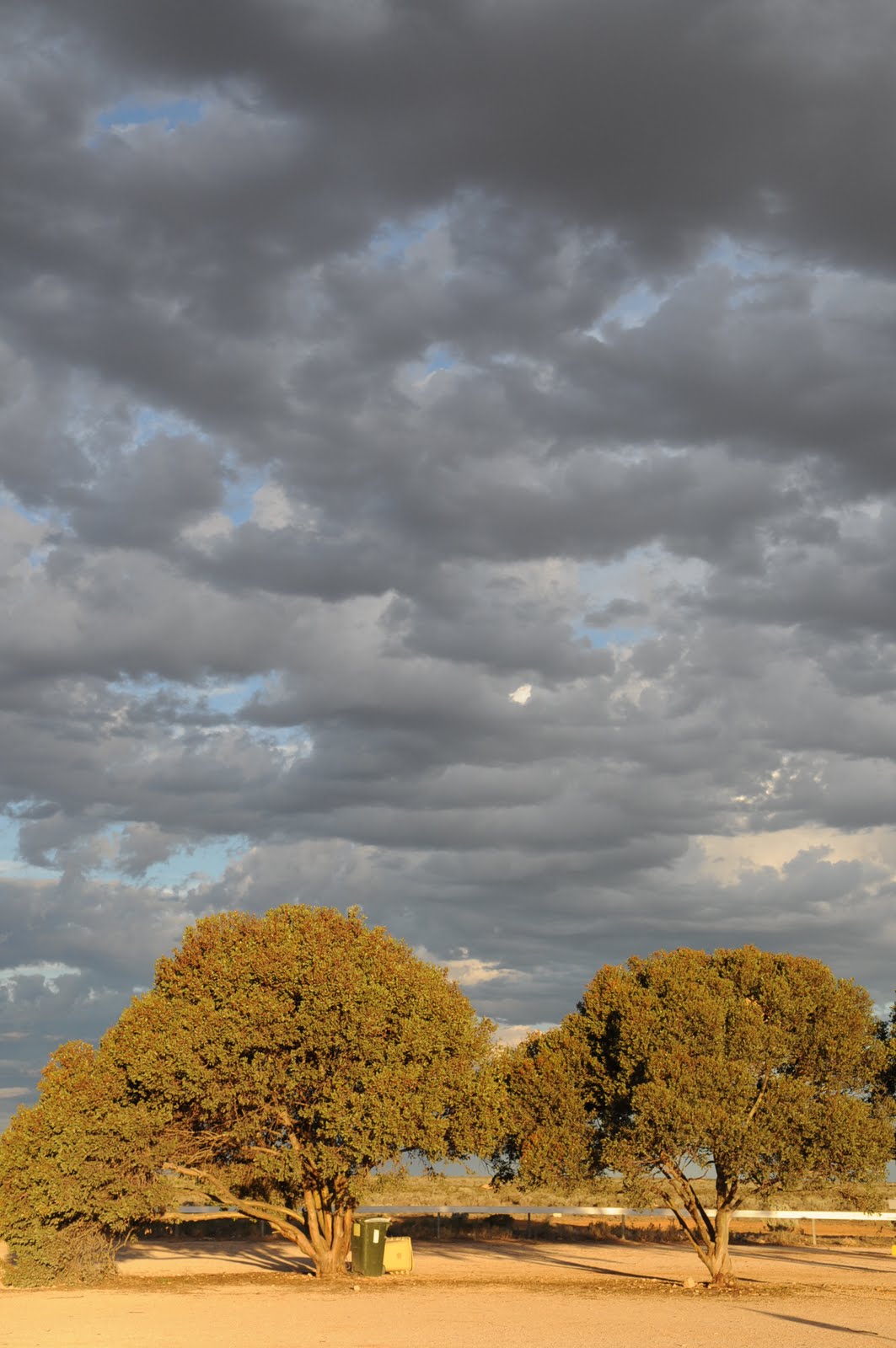
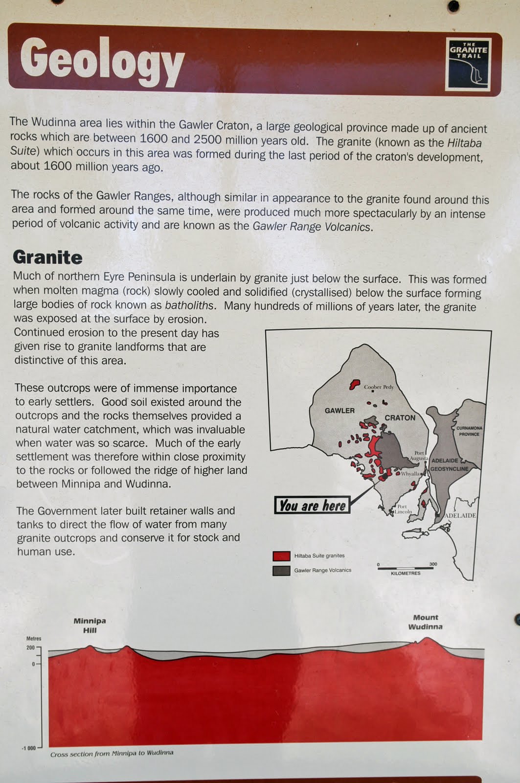
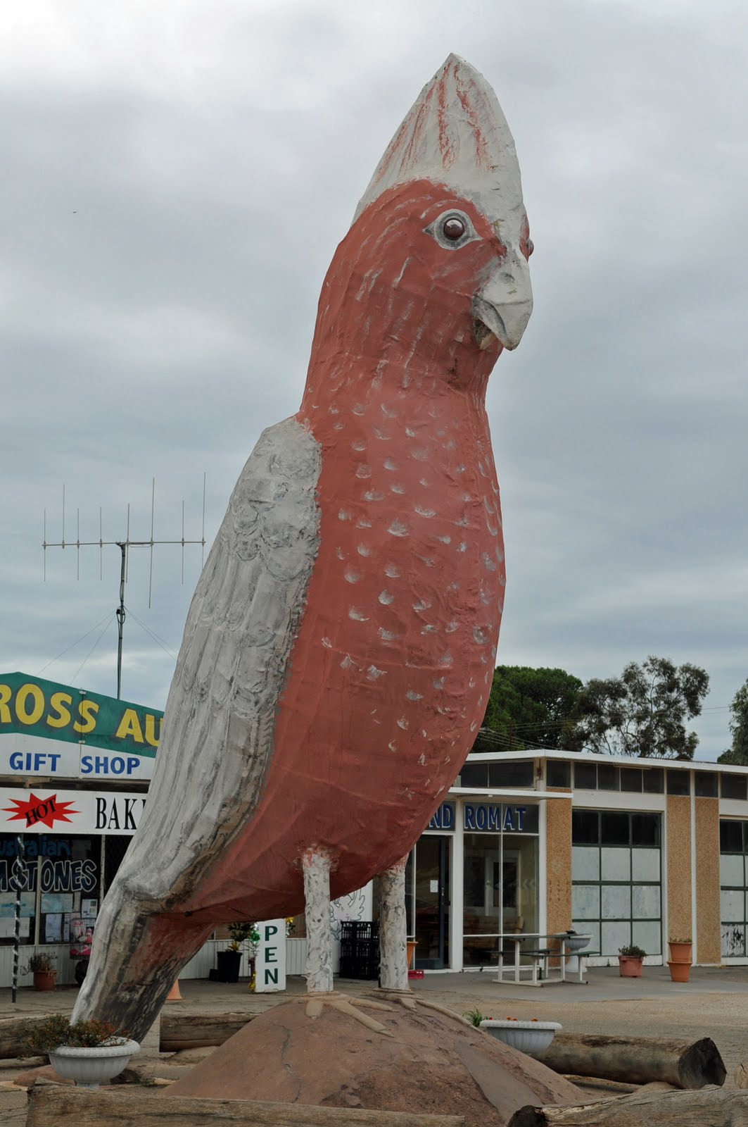
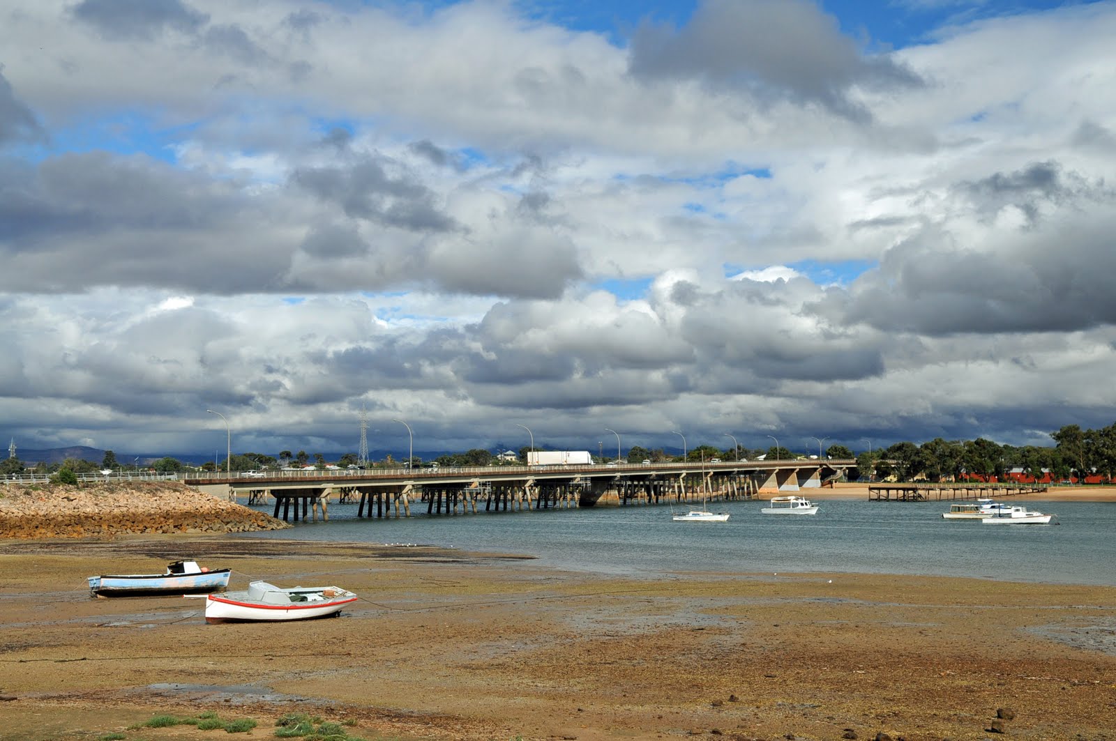
It was raining as we left Port Augusta and headed to Port Pirie where we had a bit of a walk around before continuing to Port Broughton which is on the west coast of the Yorke Peninsula. We had been to Port Augusta a few times before but had not taken the time to travel to places on the Yorke Peninsula.
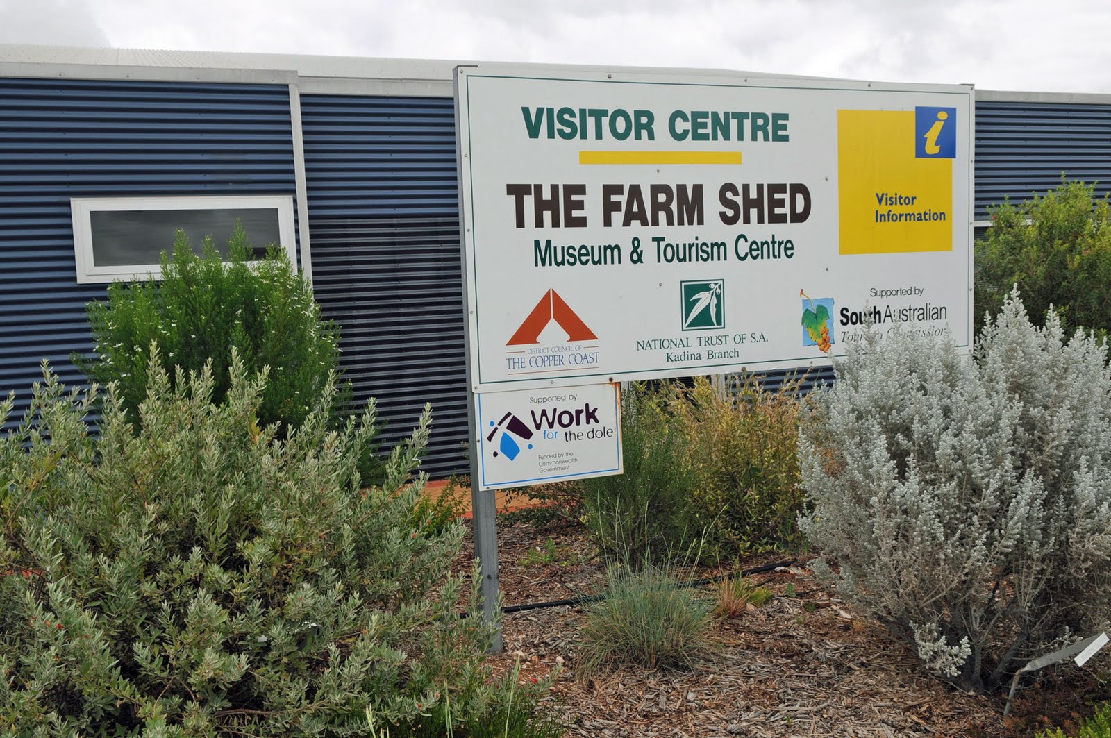
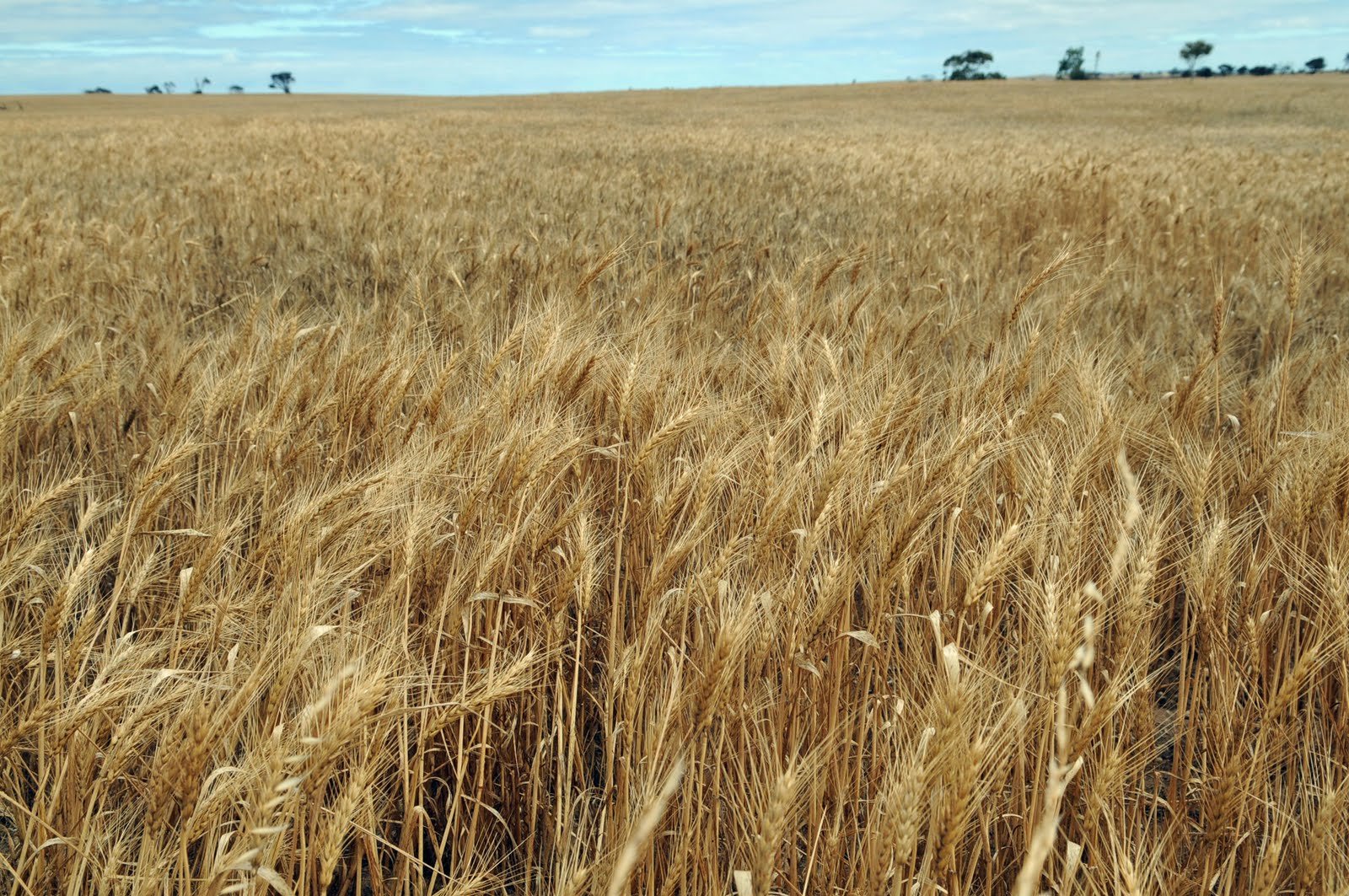
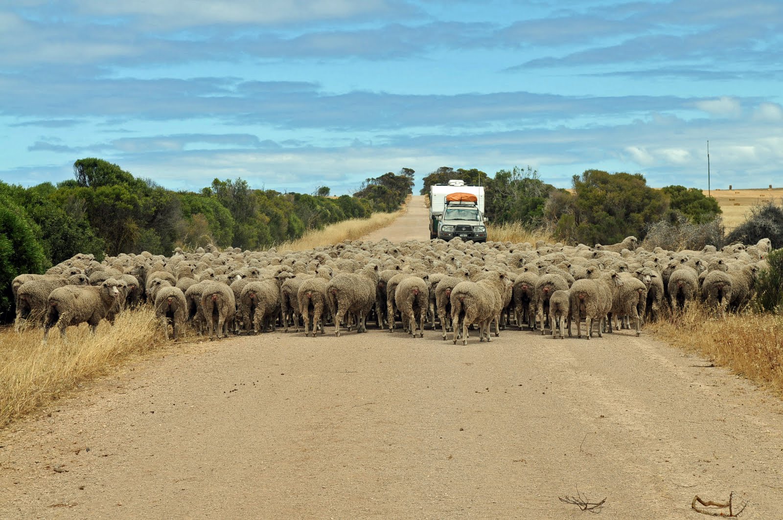
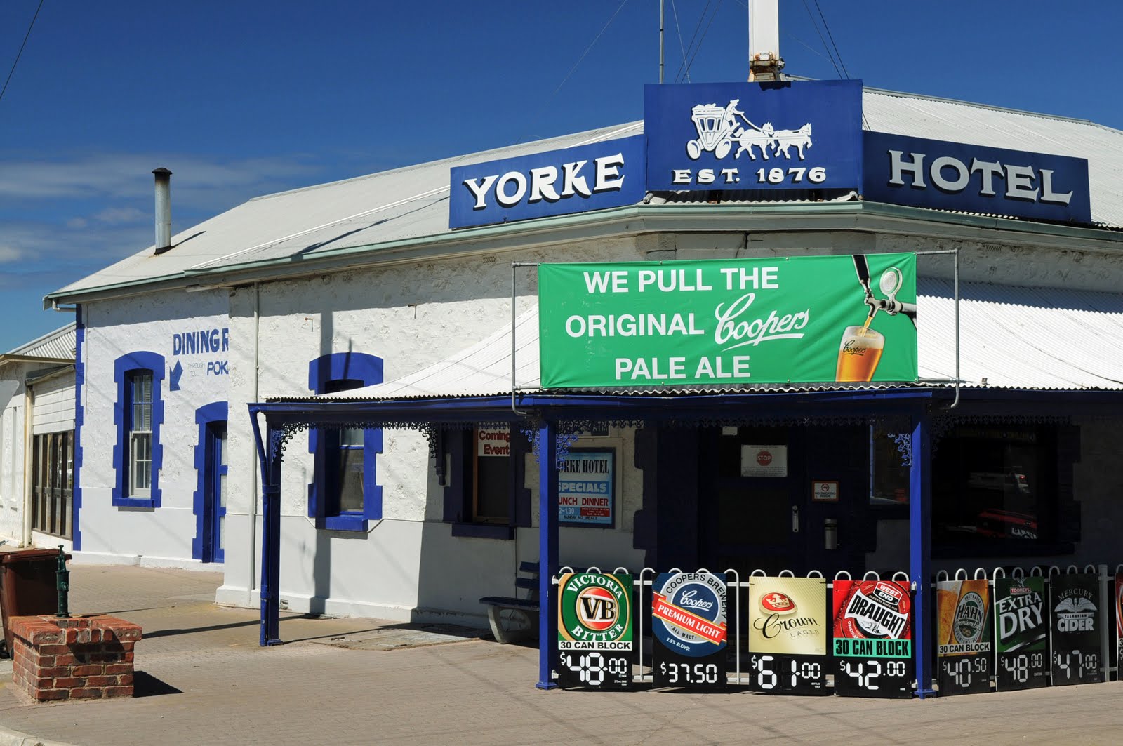
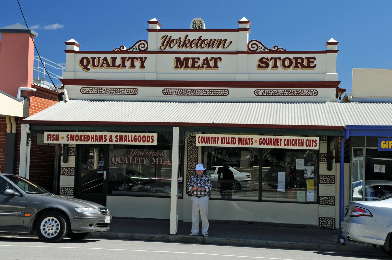
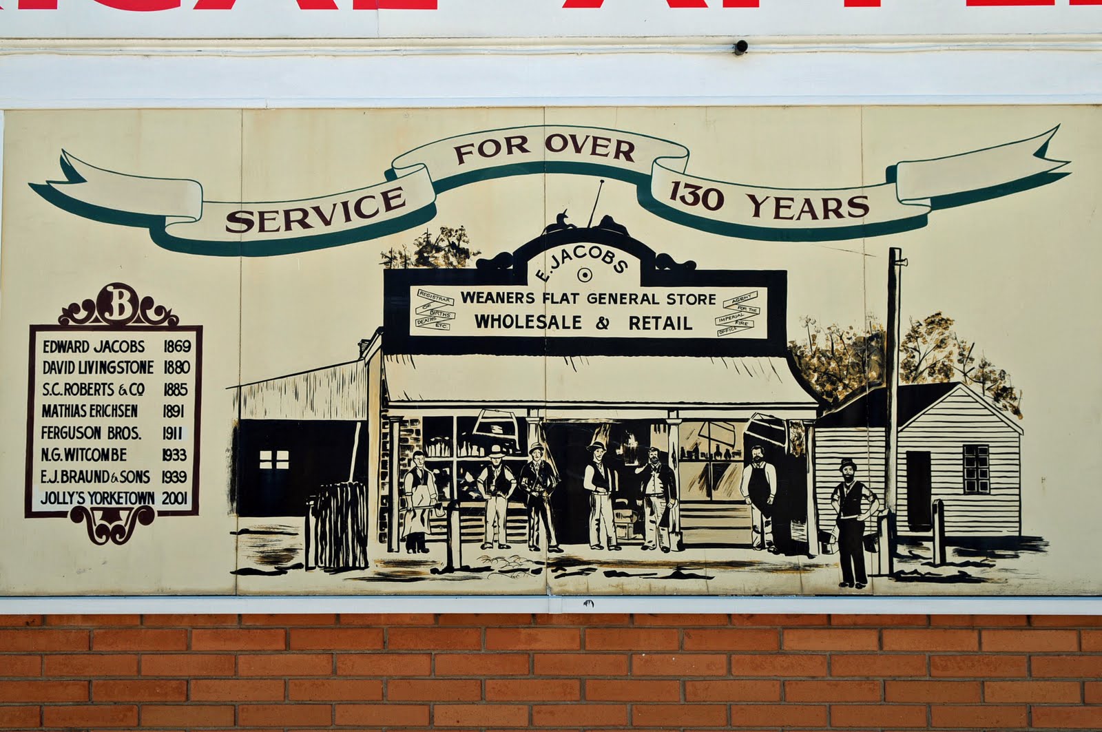
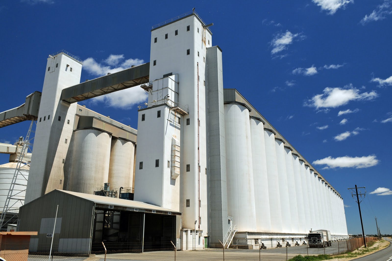
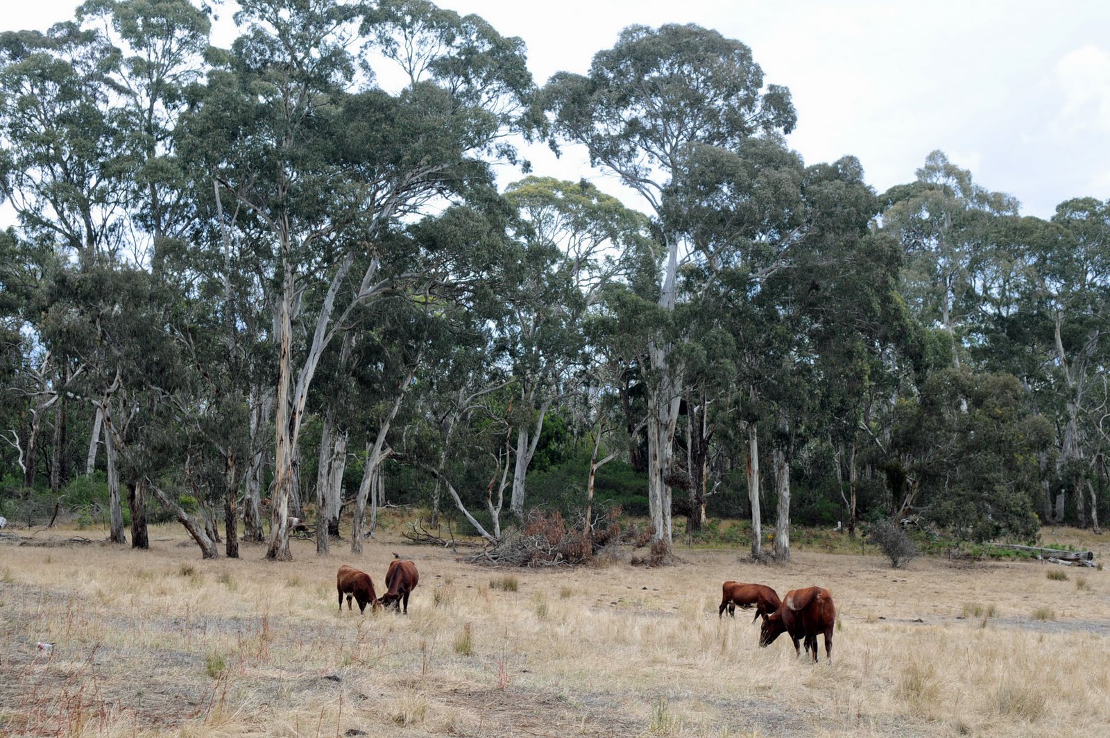
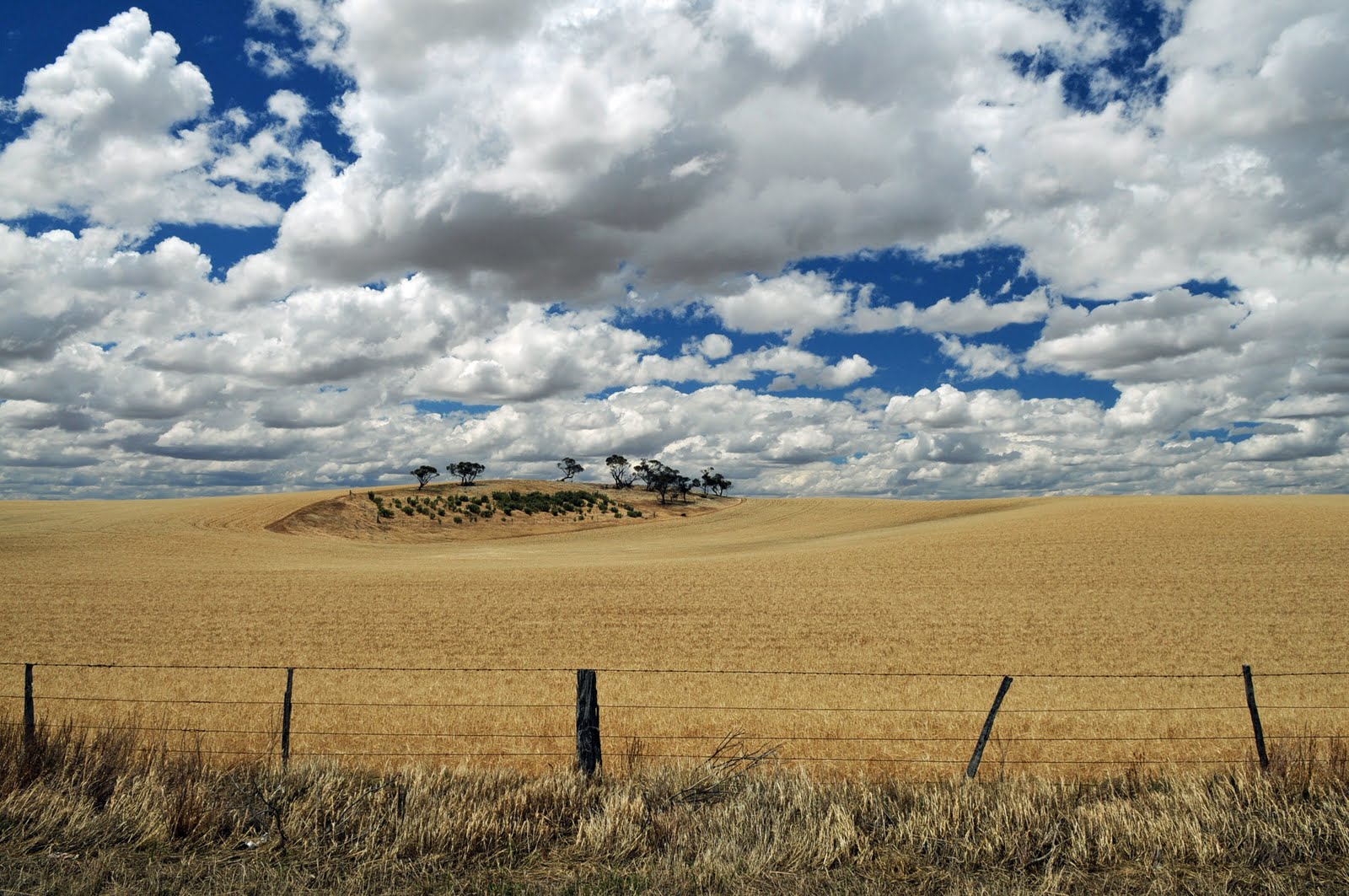
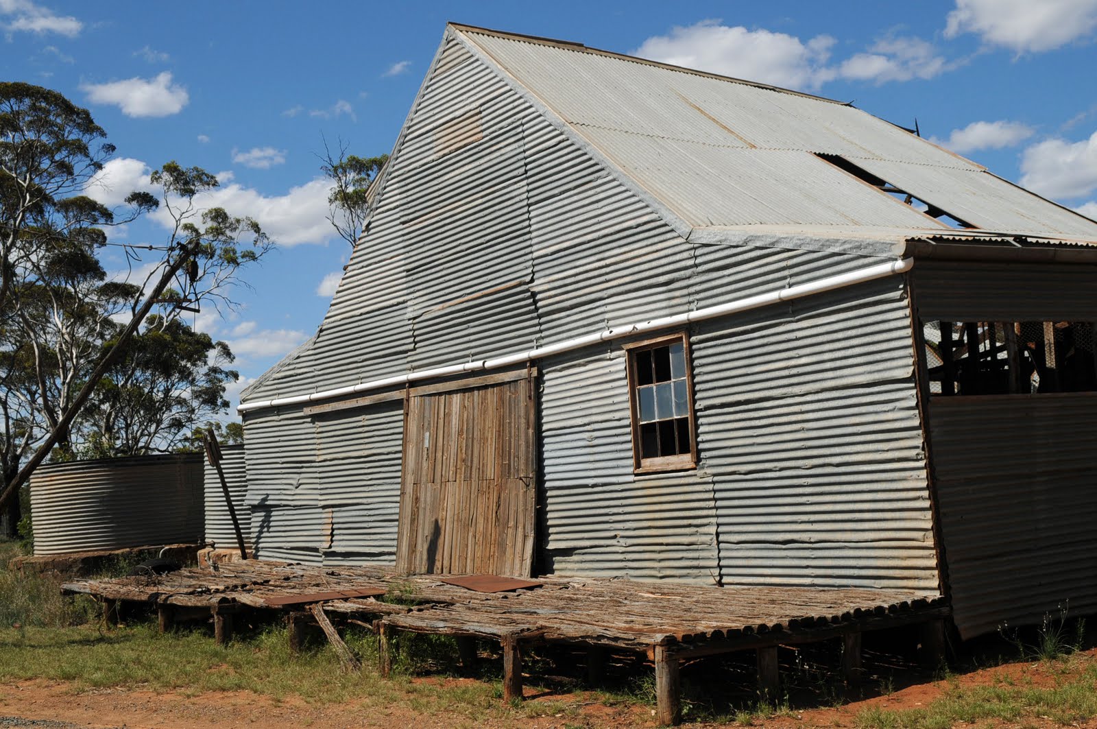
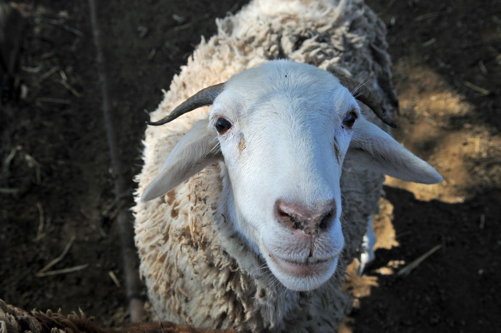
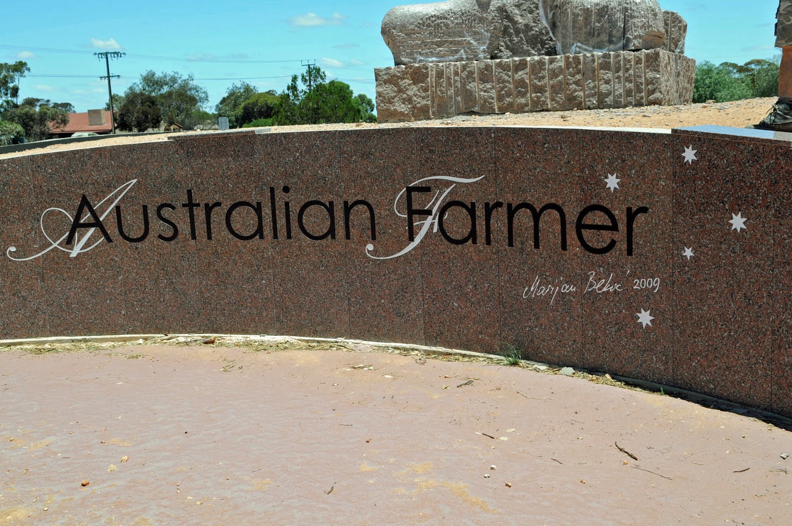
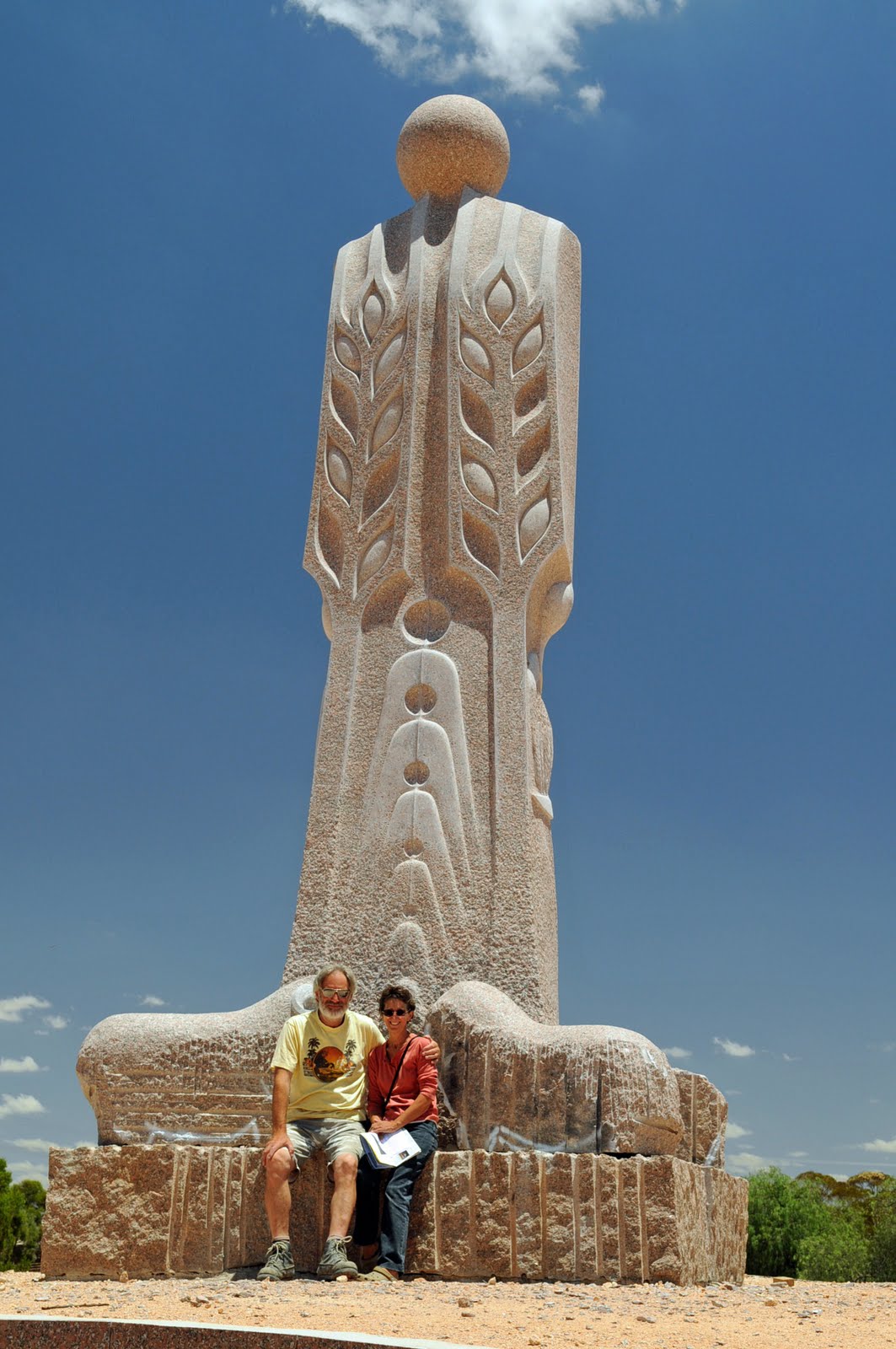
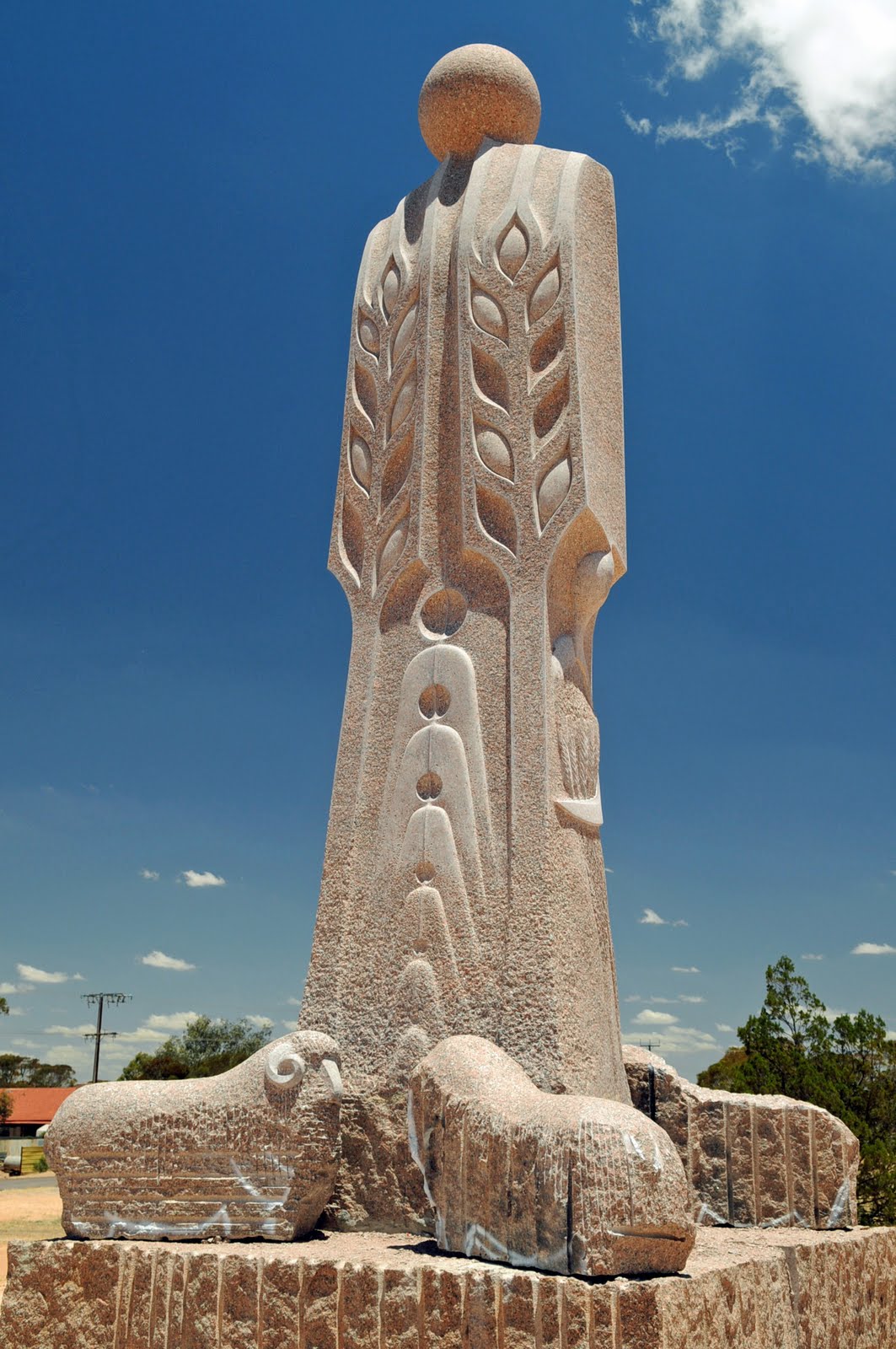
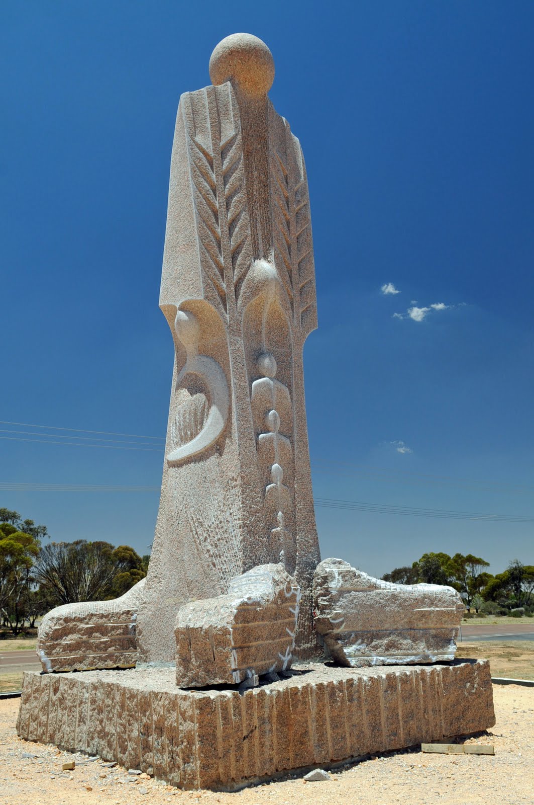
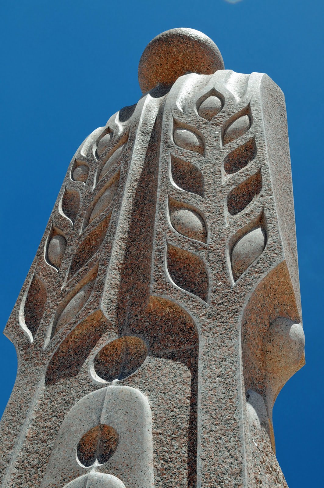
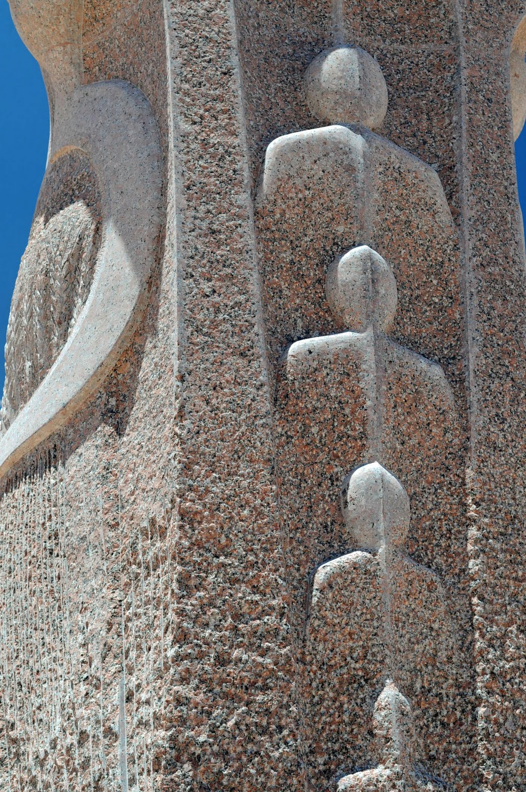
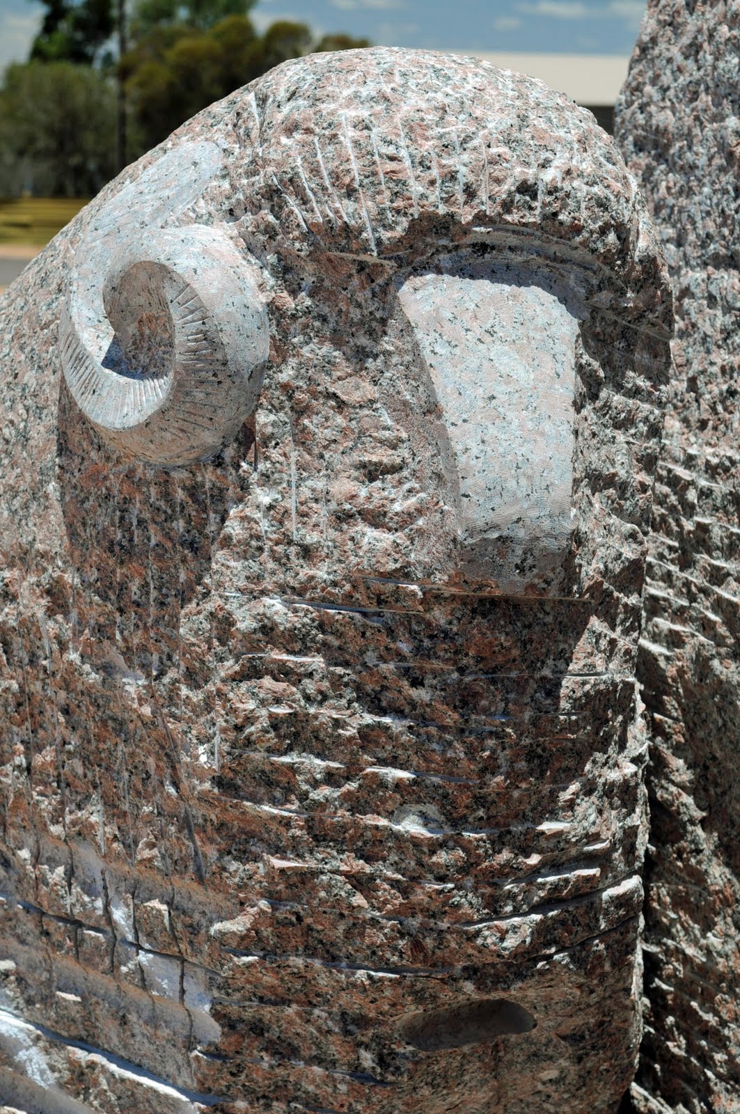
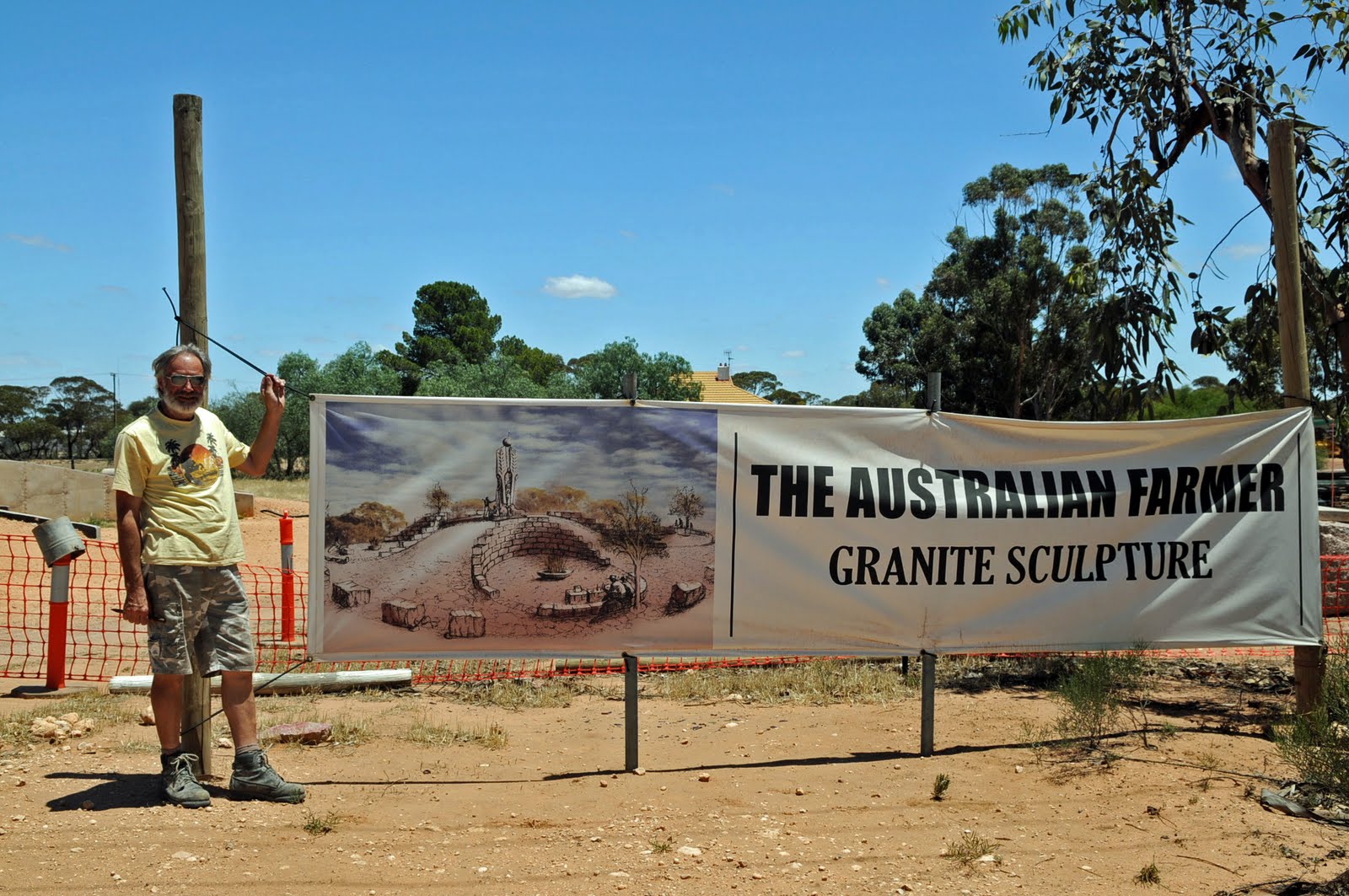
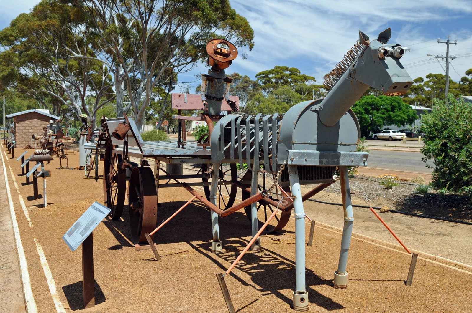
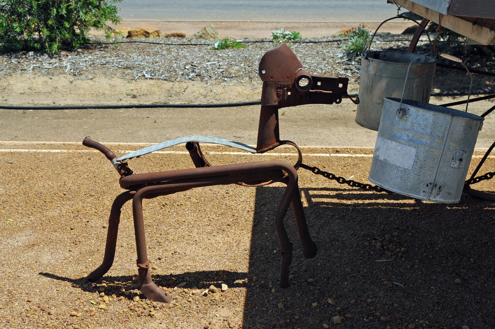
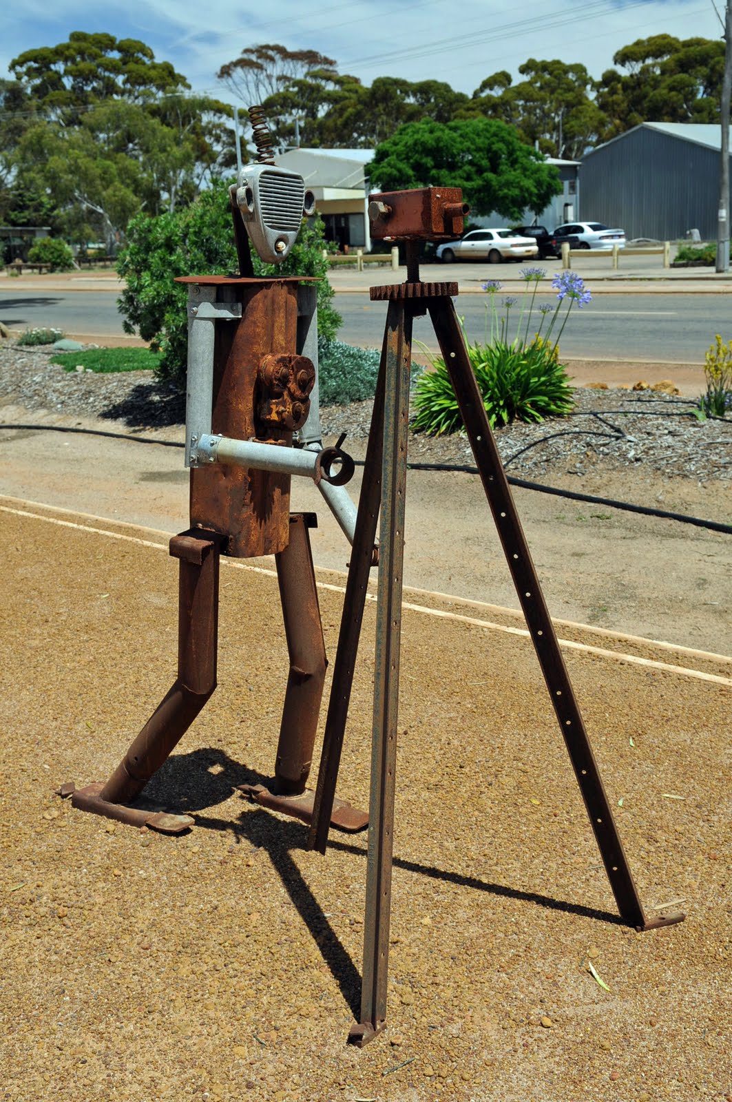
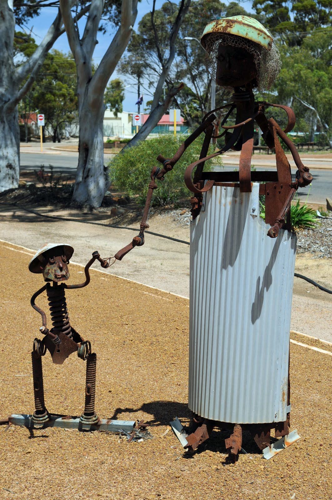
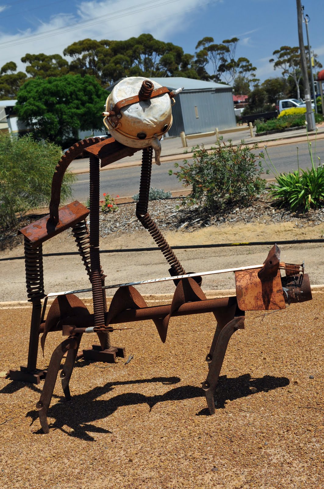
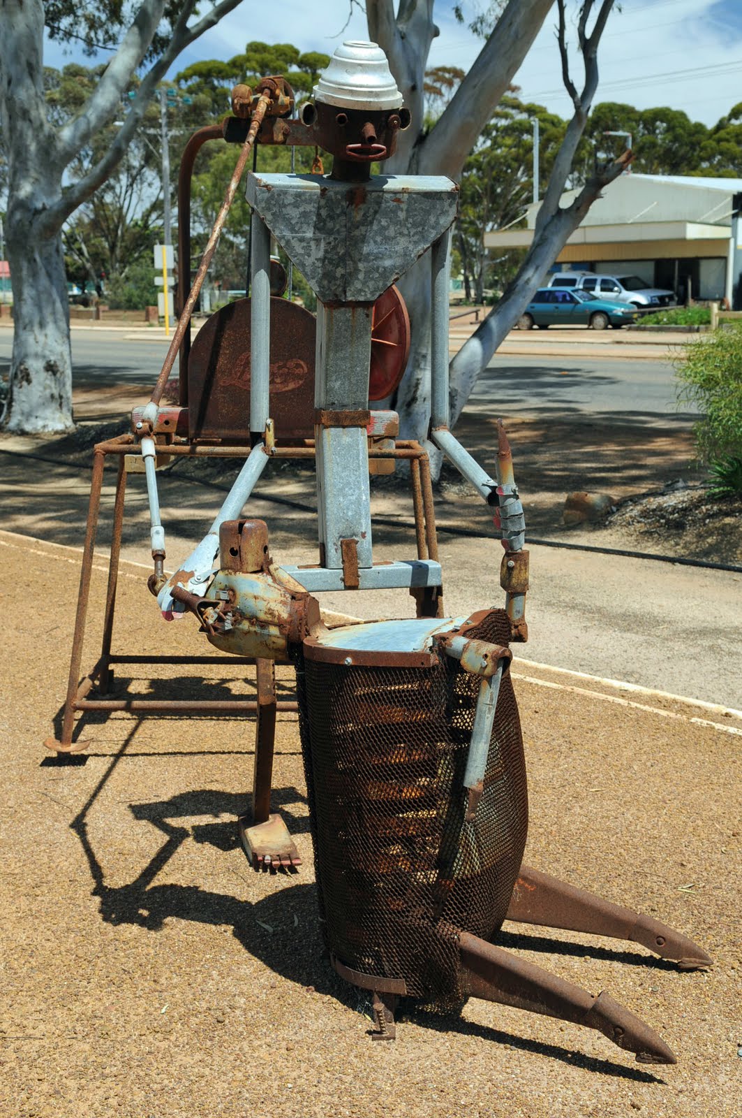
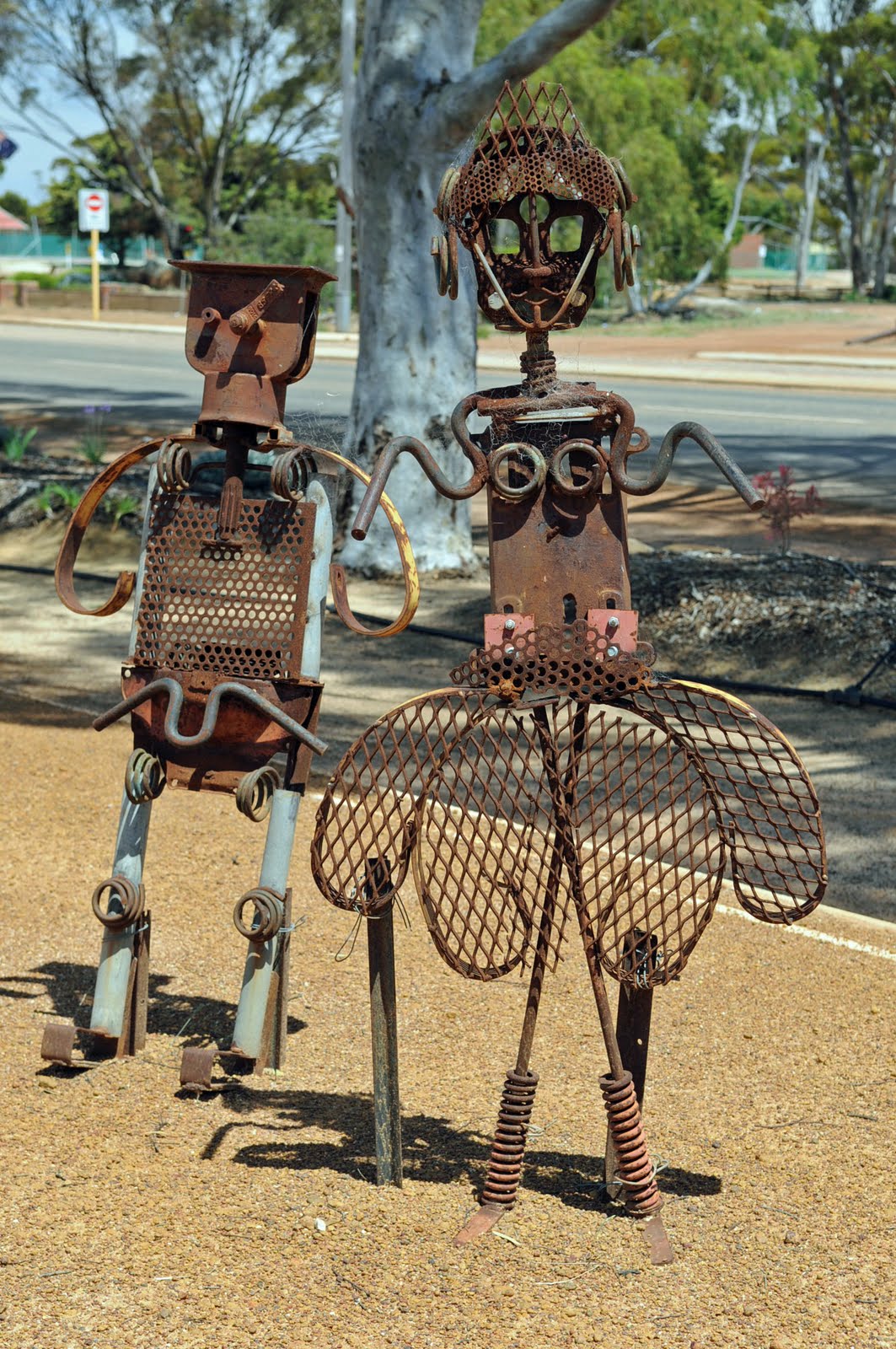
The distances on this peninsula were very small and we then continued on to Kadina which is 9km inland from the west coast. We drove through lots of farm country with mainly wheat and barley crops. The area is really known as the barley capital of the world. Kadina is the largest town in the Yorke Peninsula even though it is still quite small. It had the unofficial title of “Little Cornwell” as it was part of the Copper triangle of 3 cities on the peninsula that mined copper.
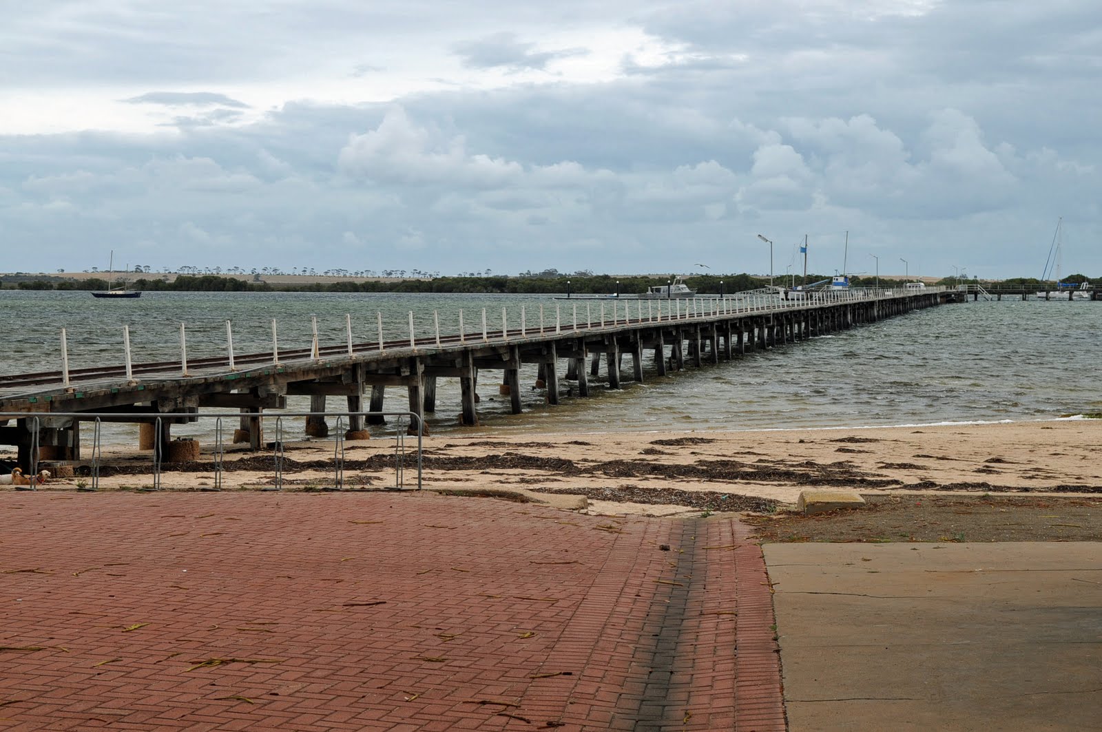
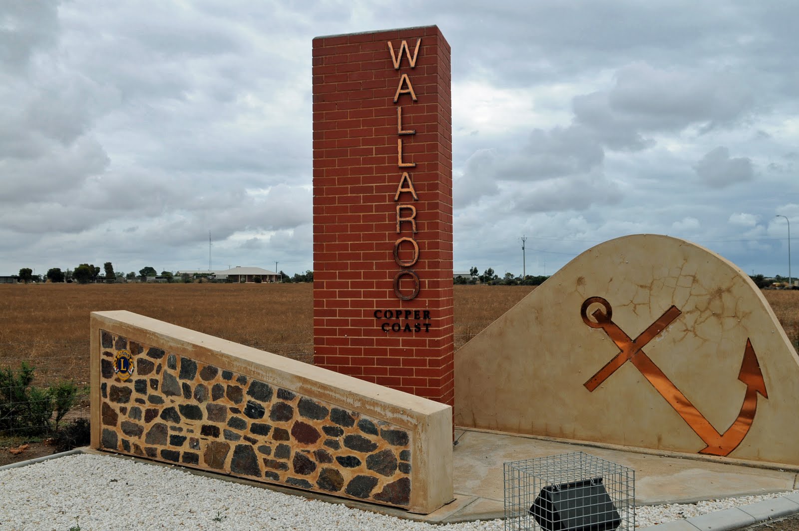
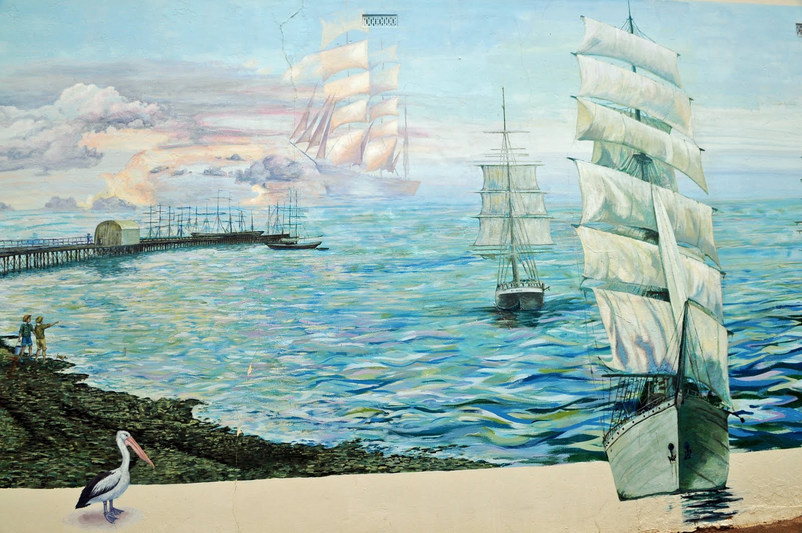
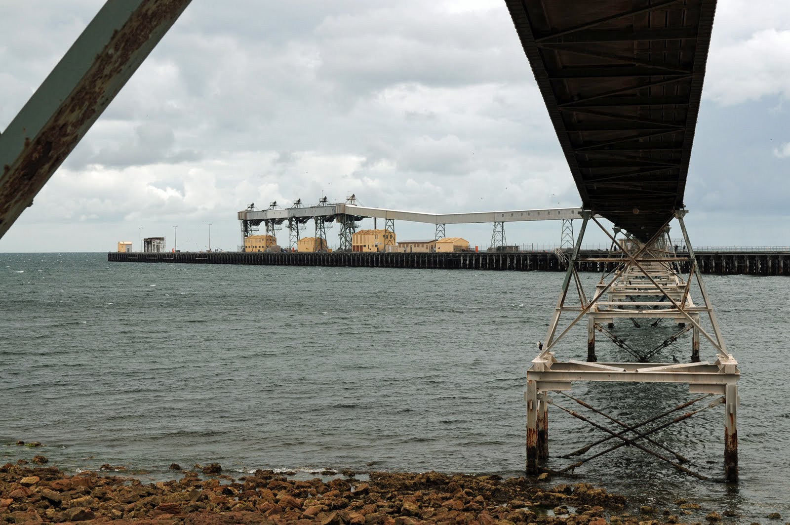
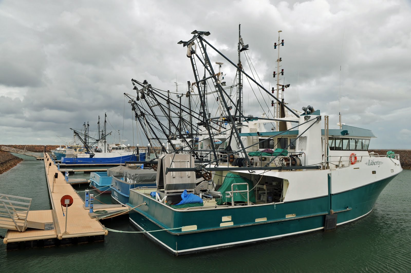
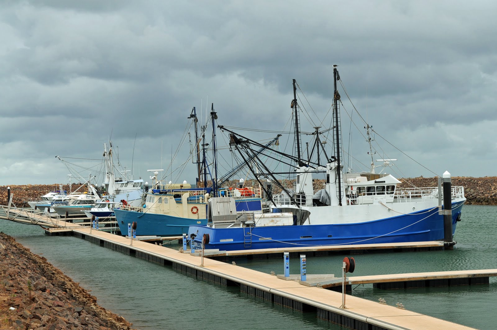
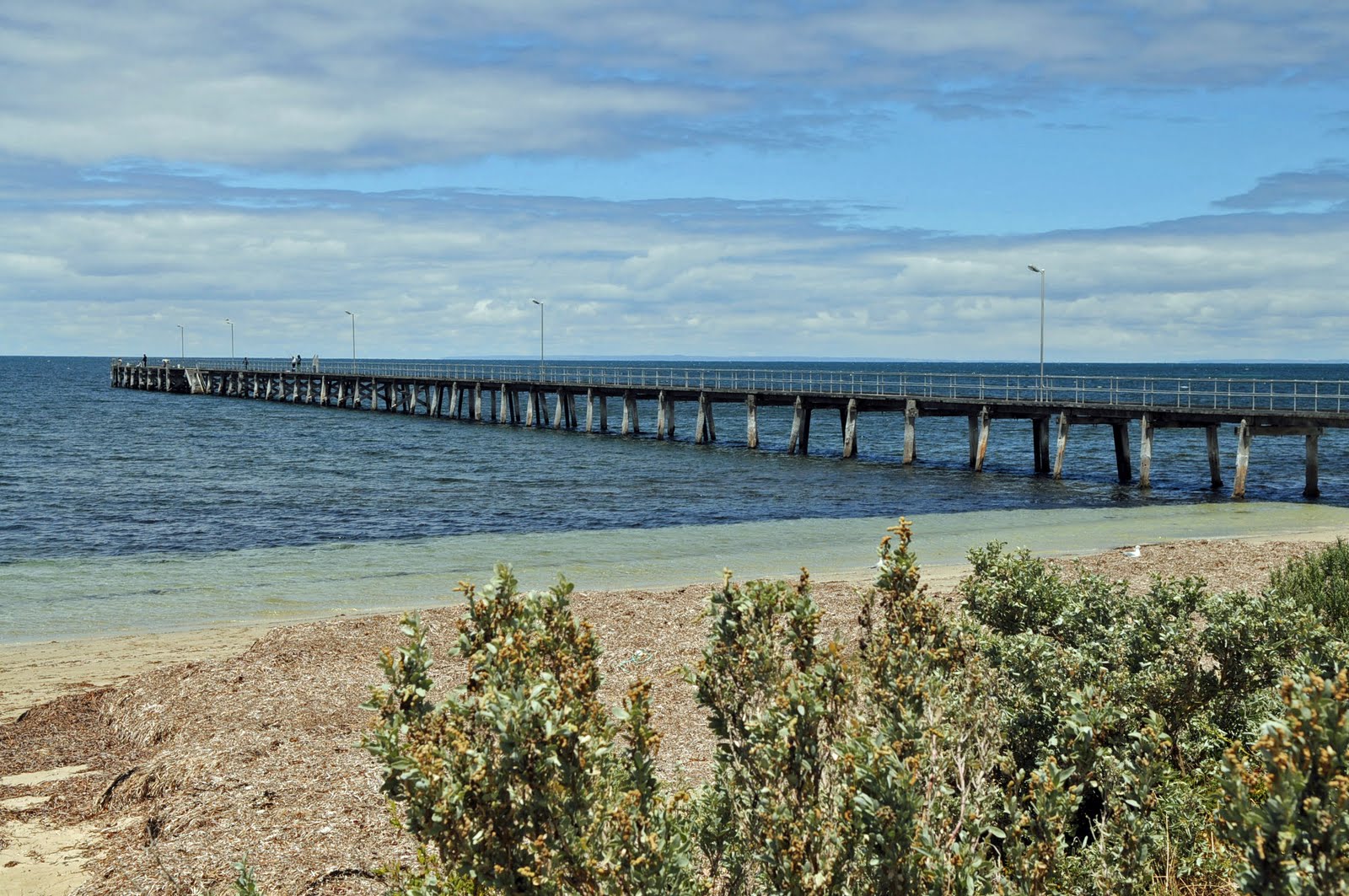
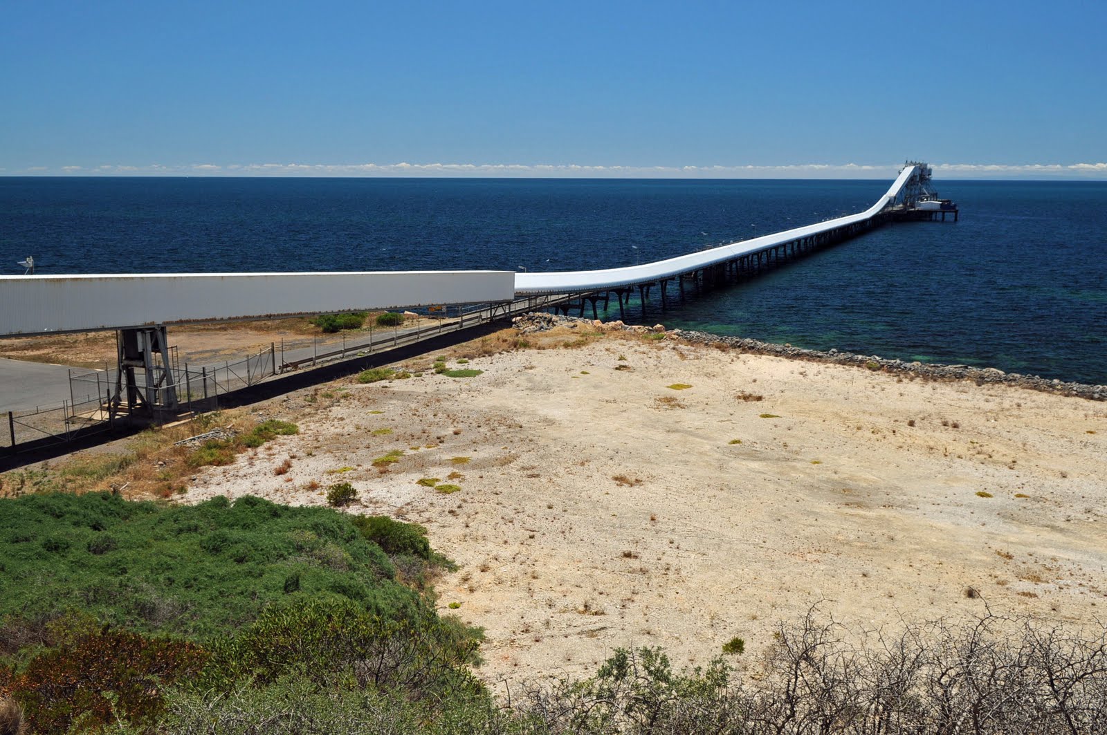
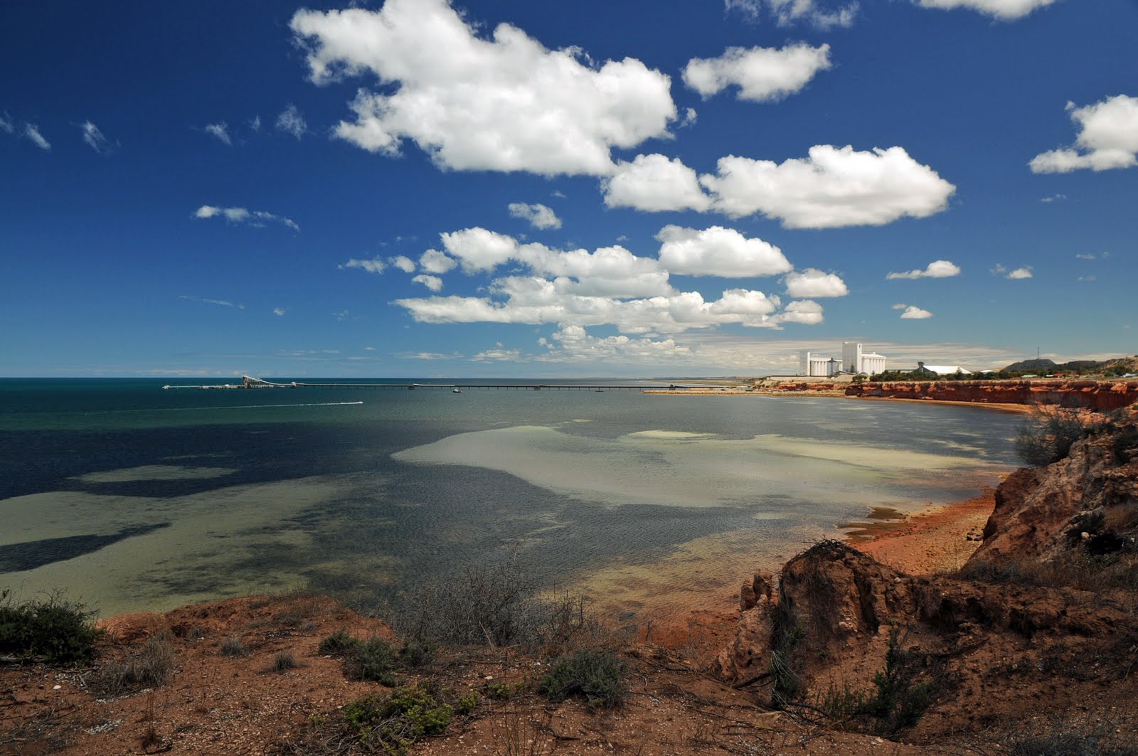
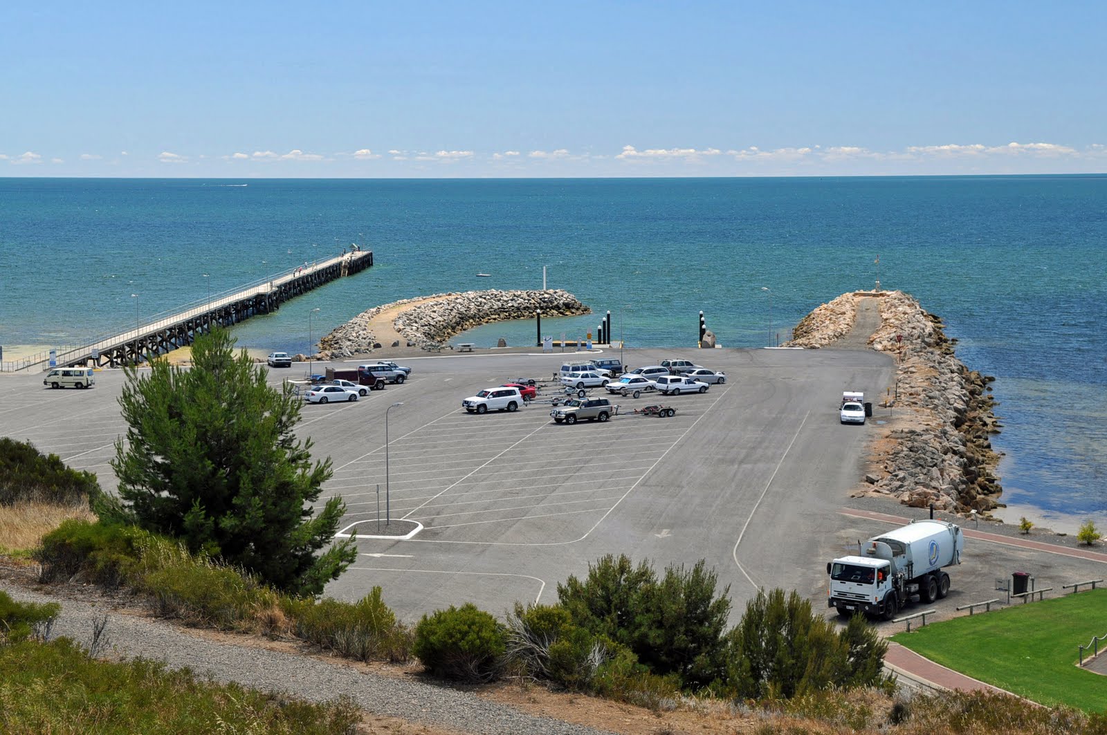
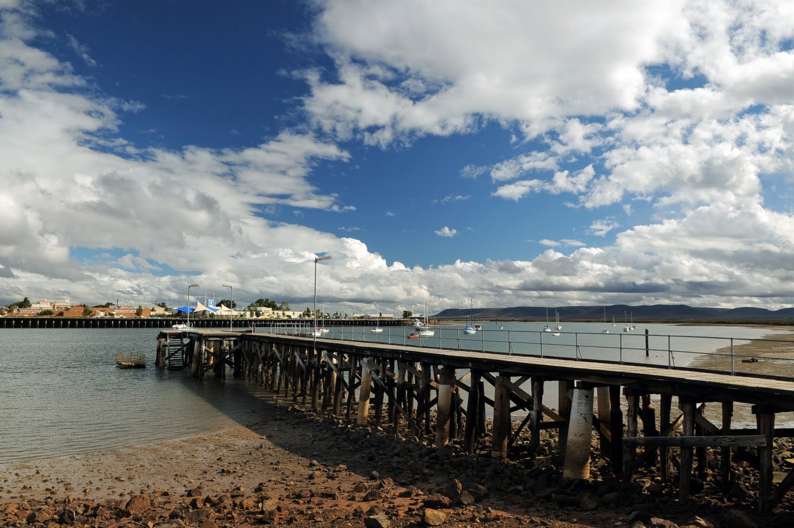
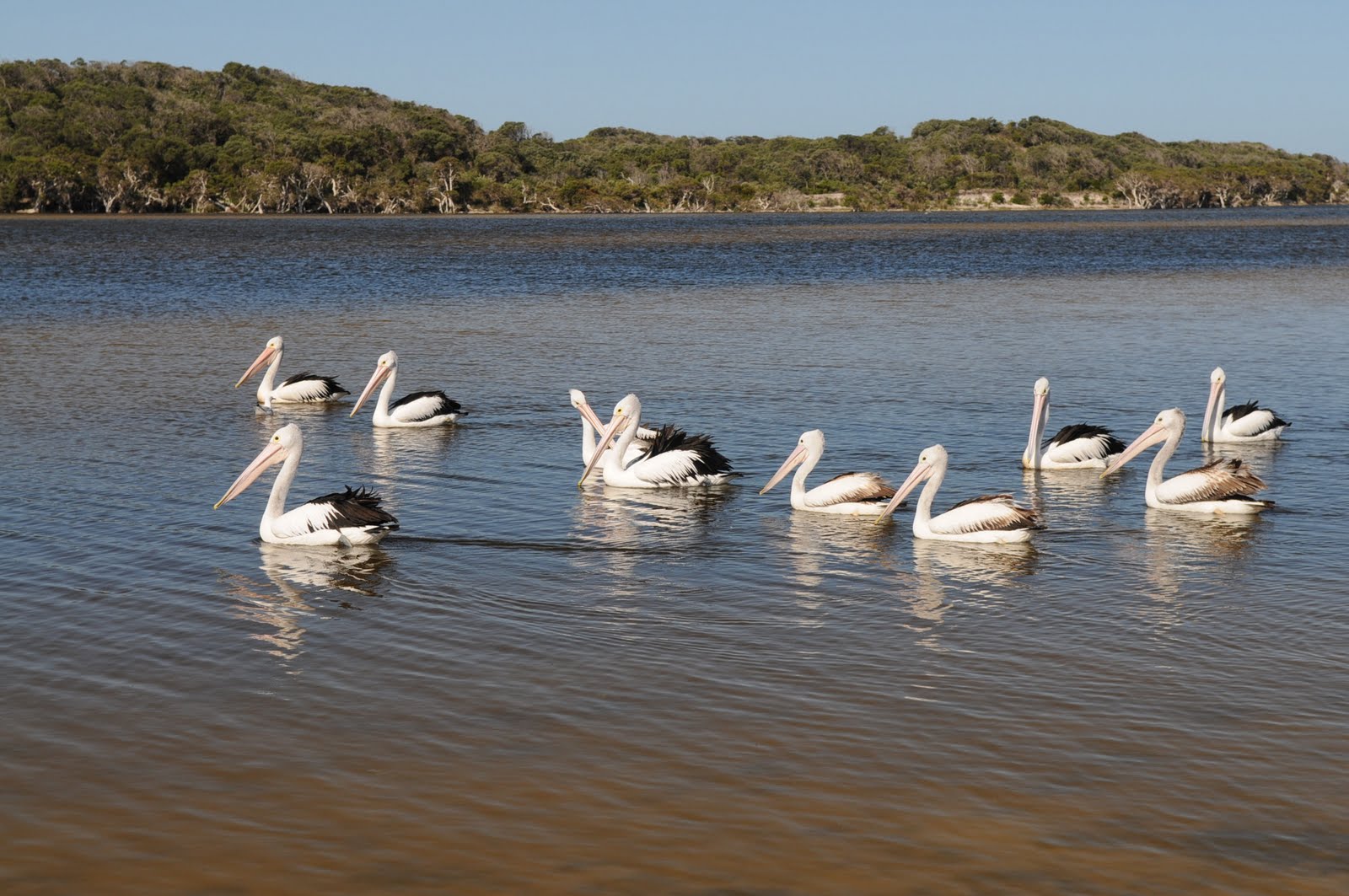
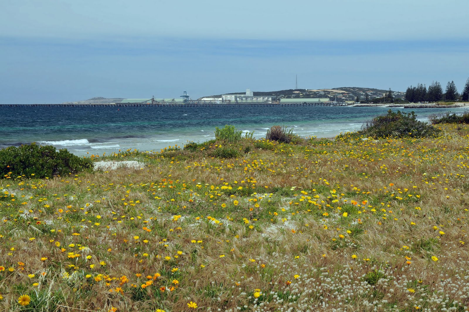
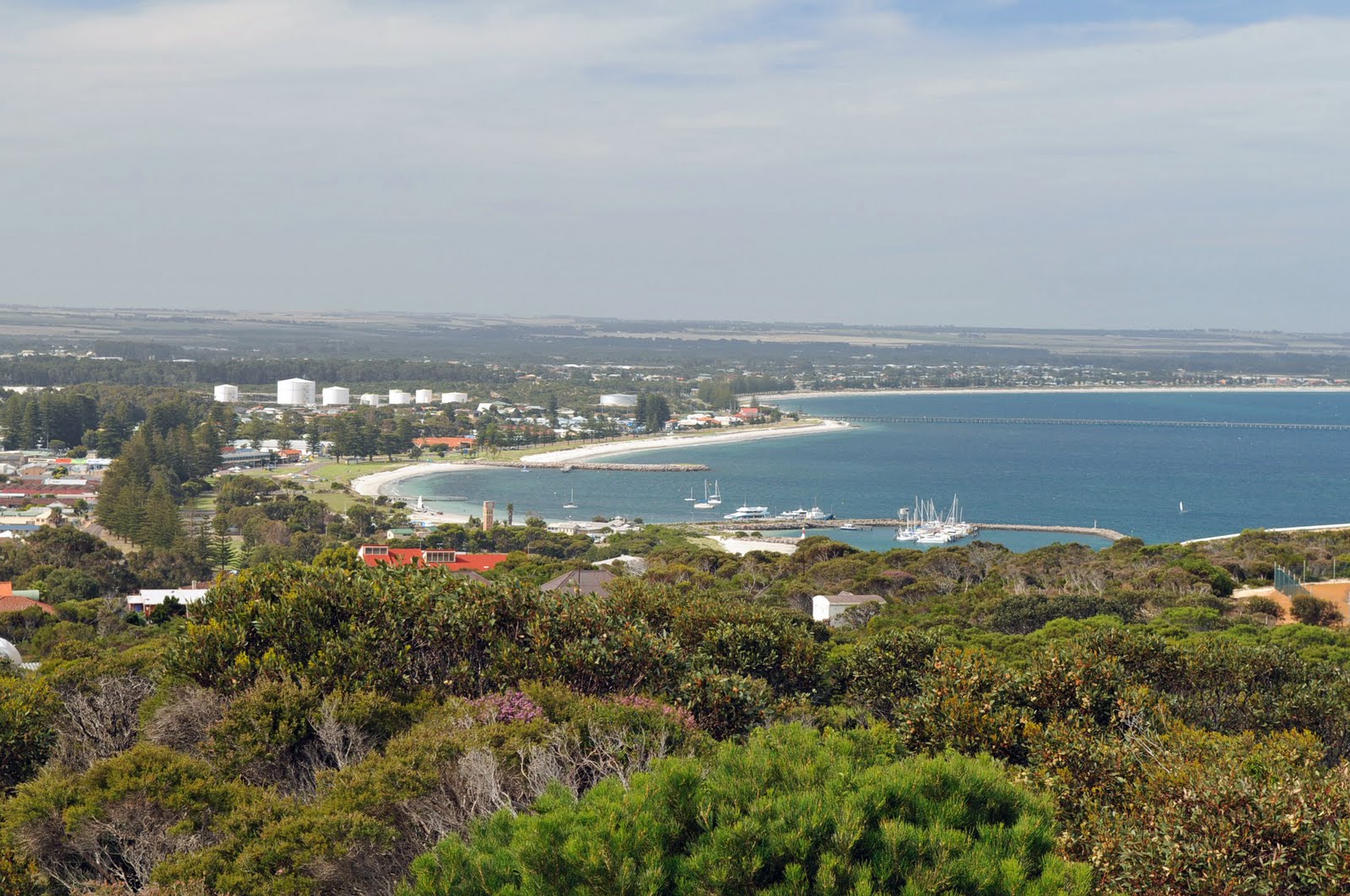
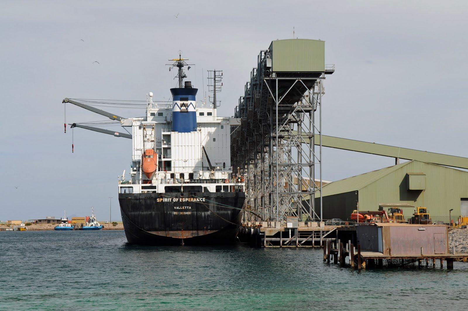
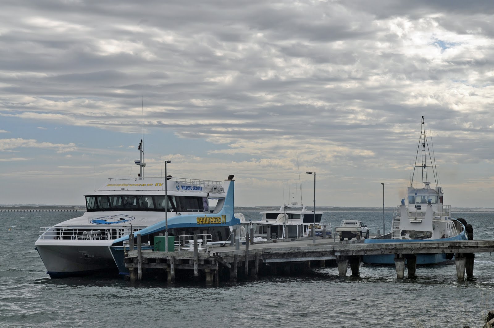
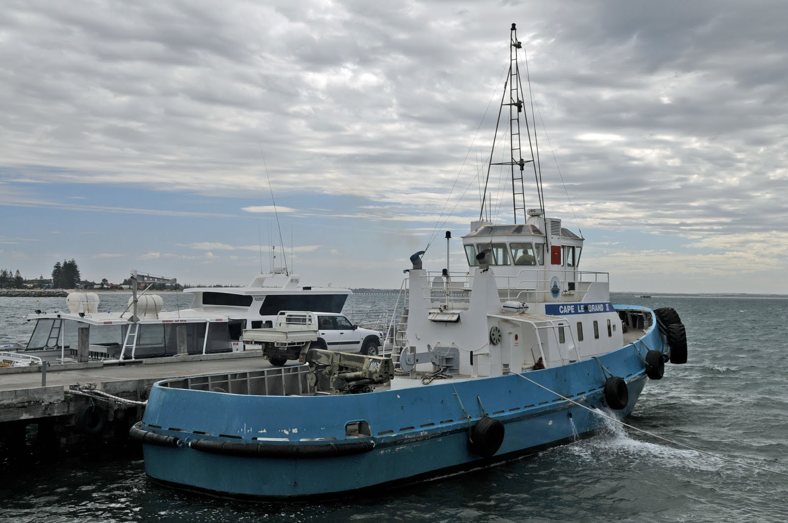
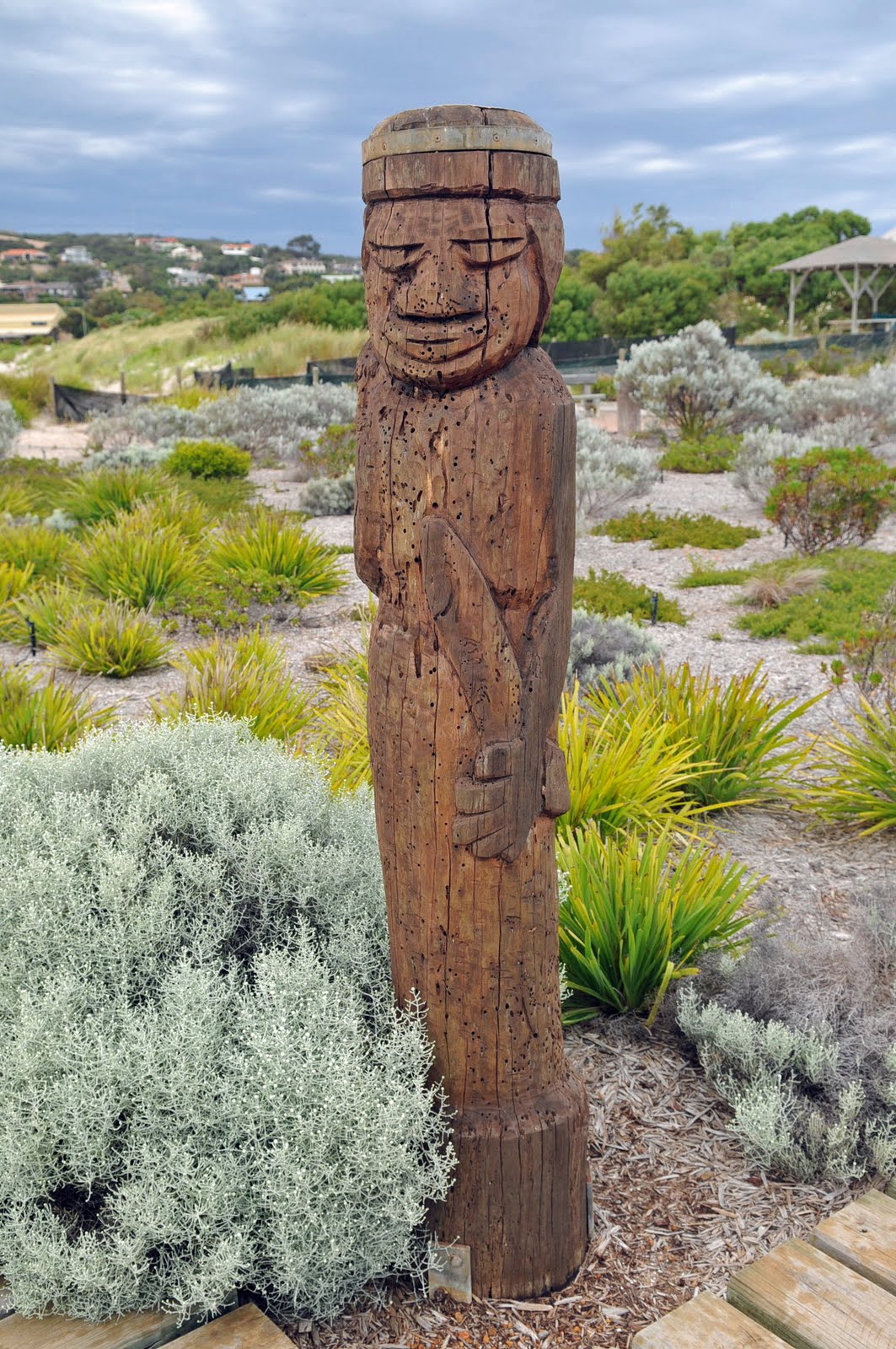
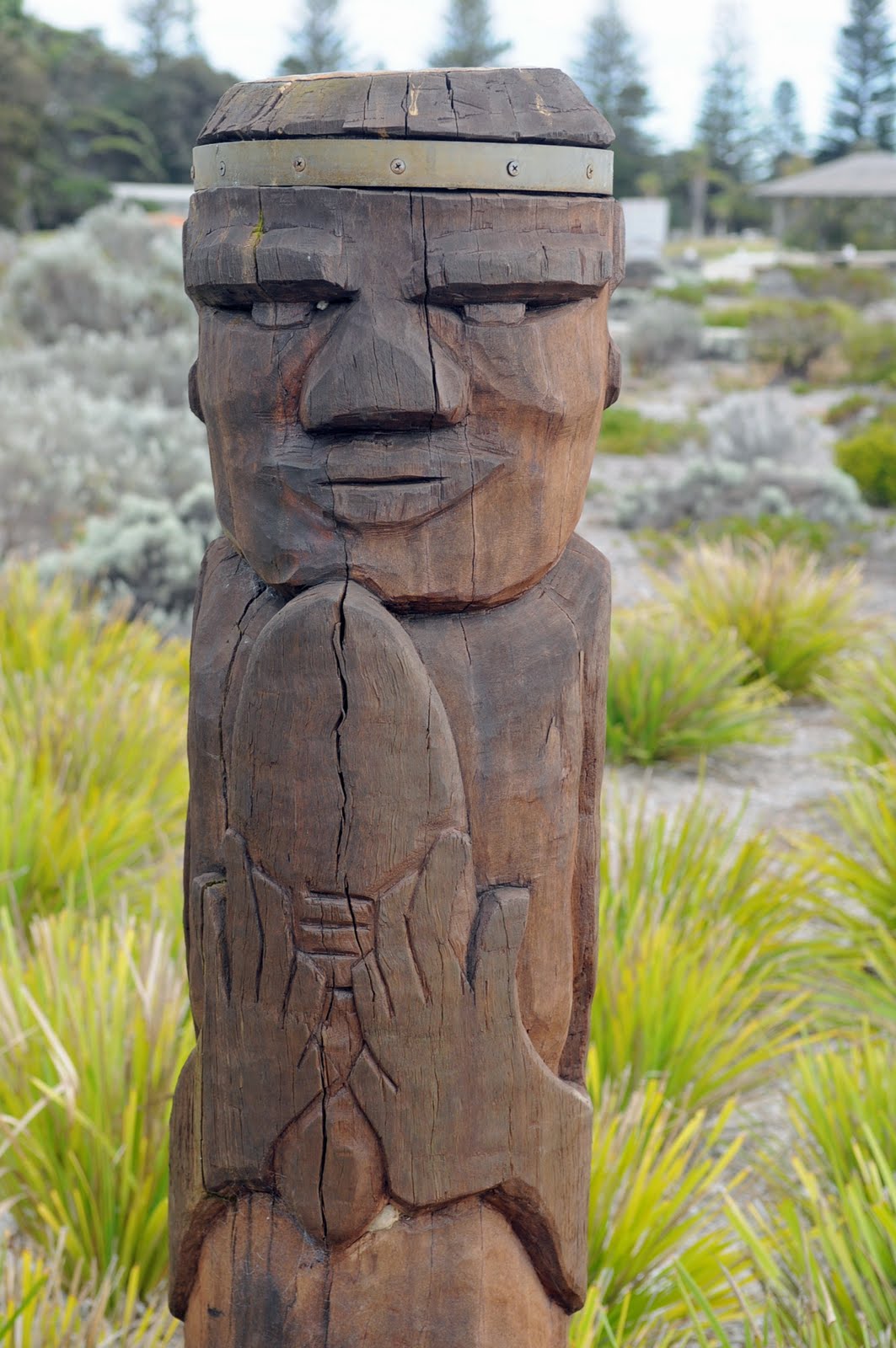
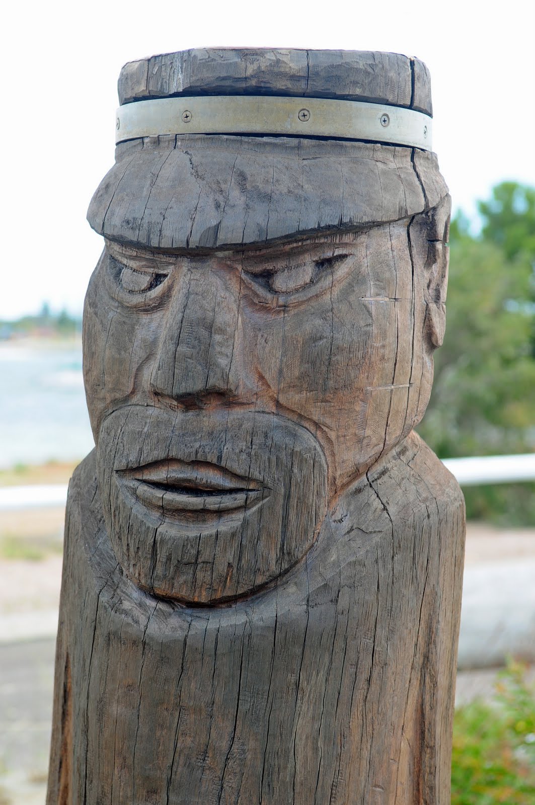
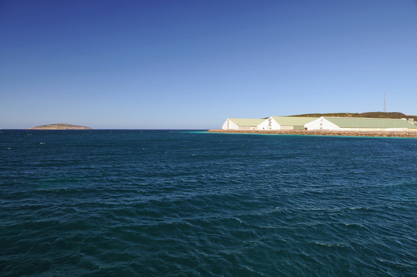
The next stop was Wallaroo on the coast with its deep sea port from which copper was shipped. It is also home to the Spencer Gulf prawn fleet so of course we had to have a look. Only a few of the prawn trawlers were in dock but it was a lovely marina.
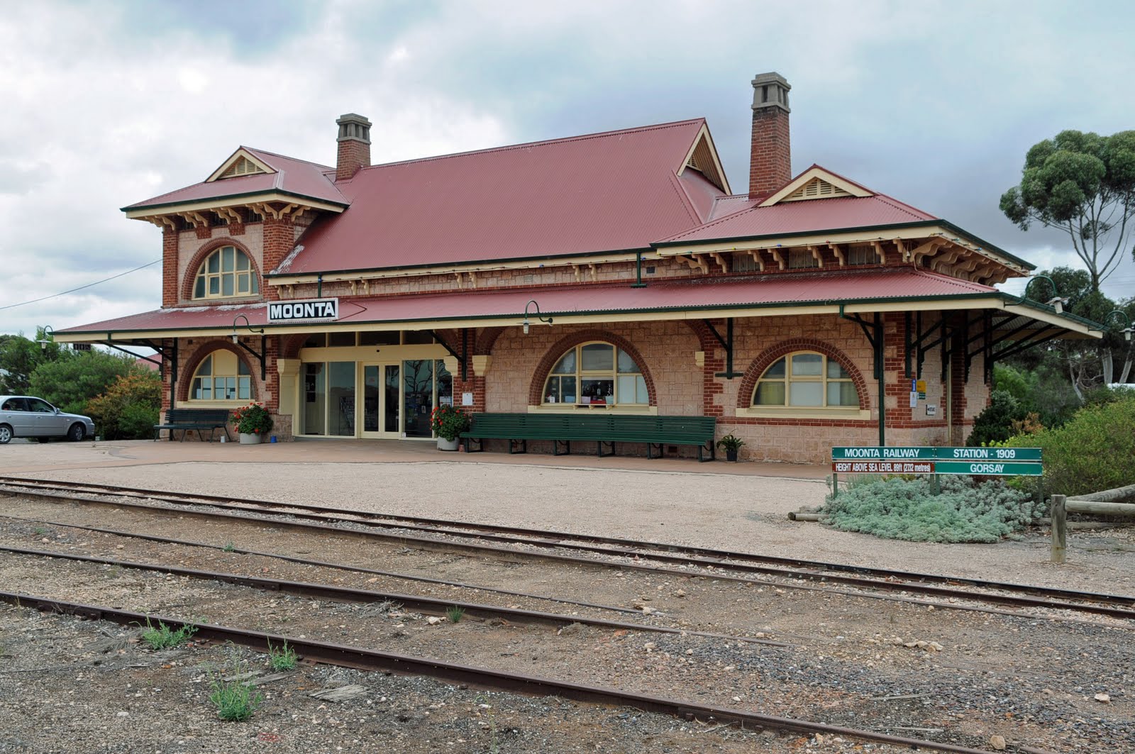
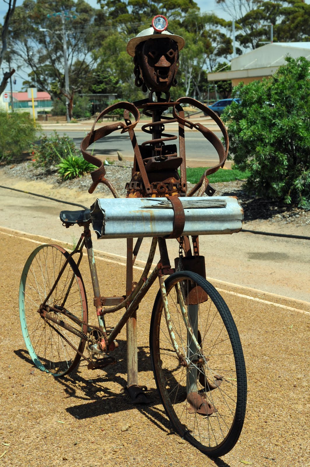
We Drove on to Moonta which is where the original copper in the area was found and mined from 1861. There was a large influx of Cornish miners at the time and that set the tone in the town and the area. Every second year they have a Cornish Festival.
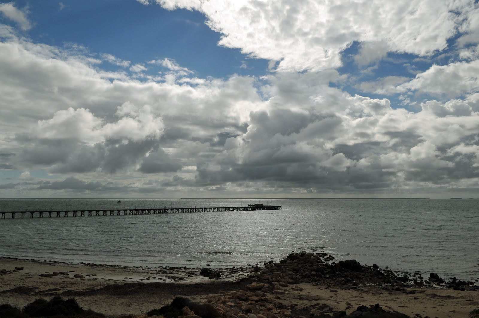
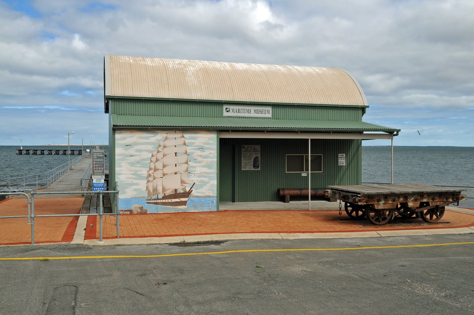
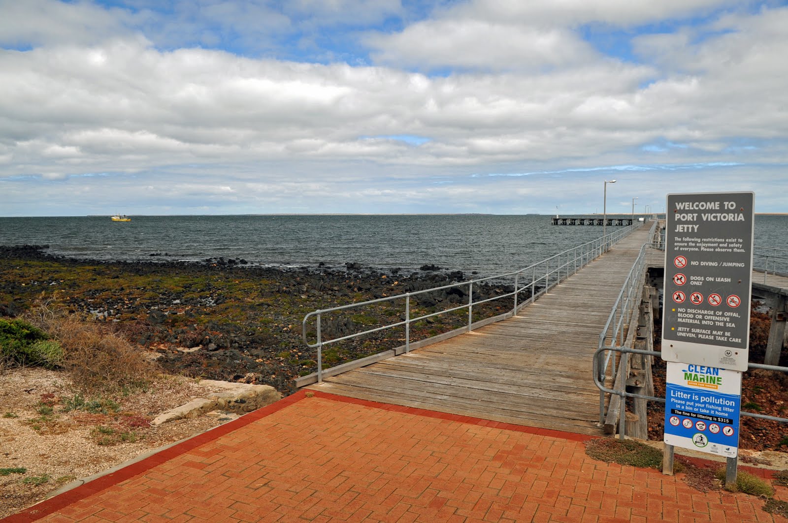
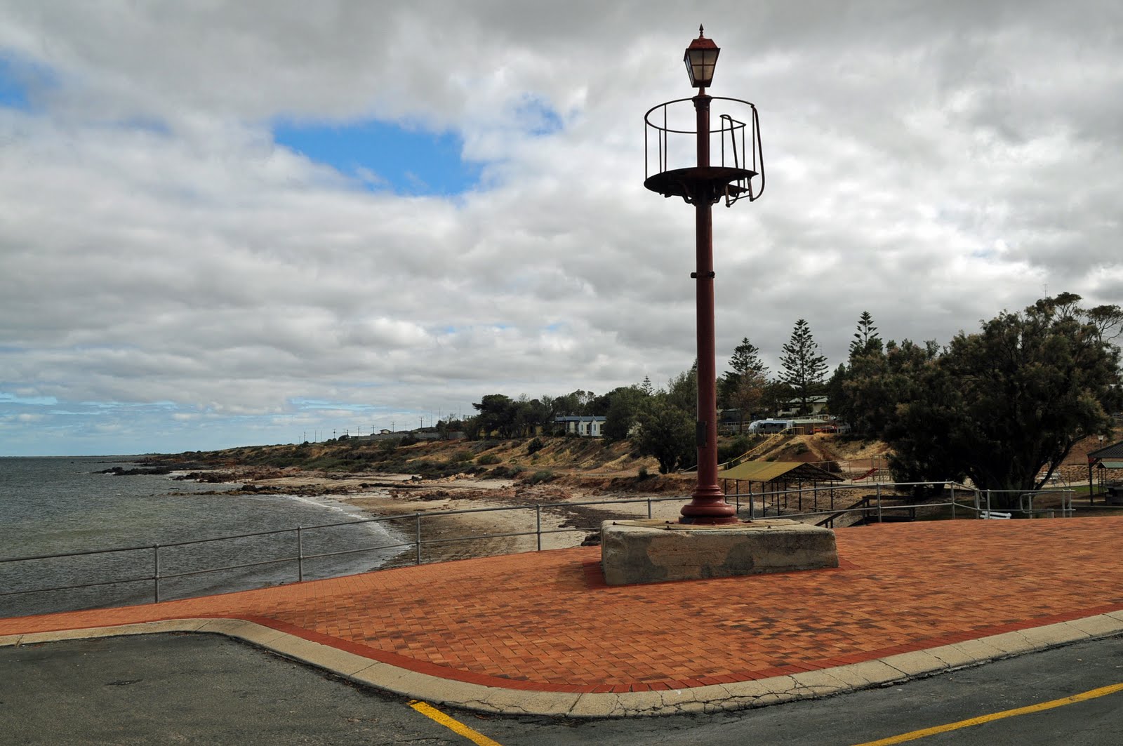
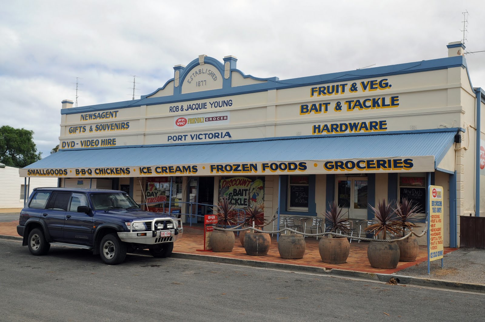
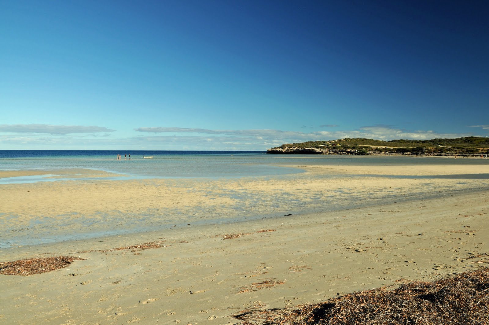
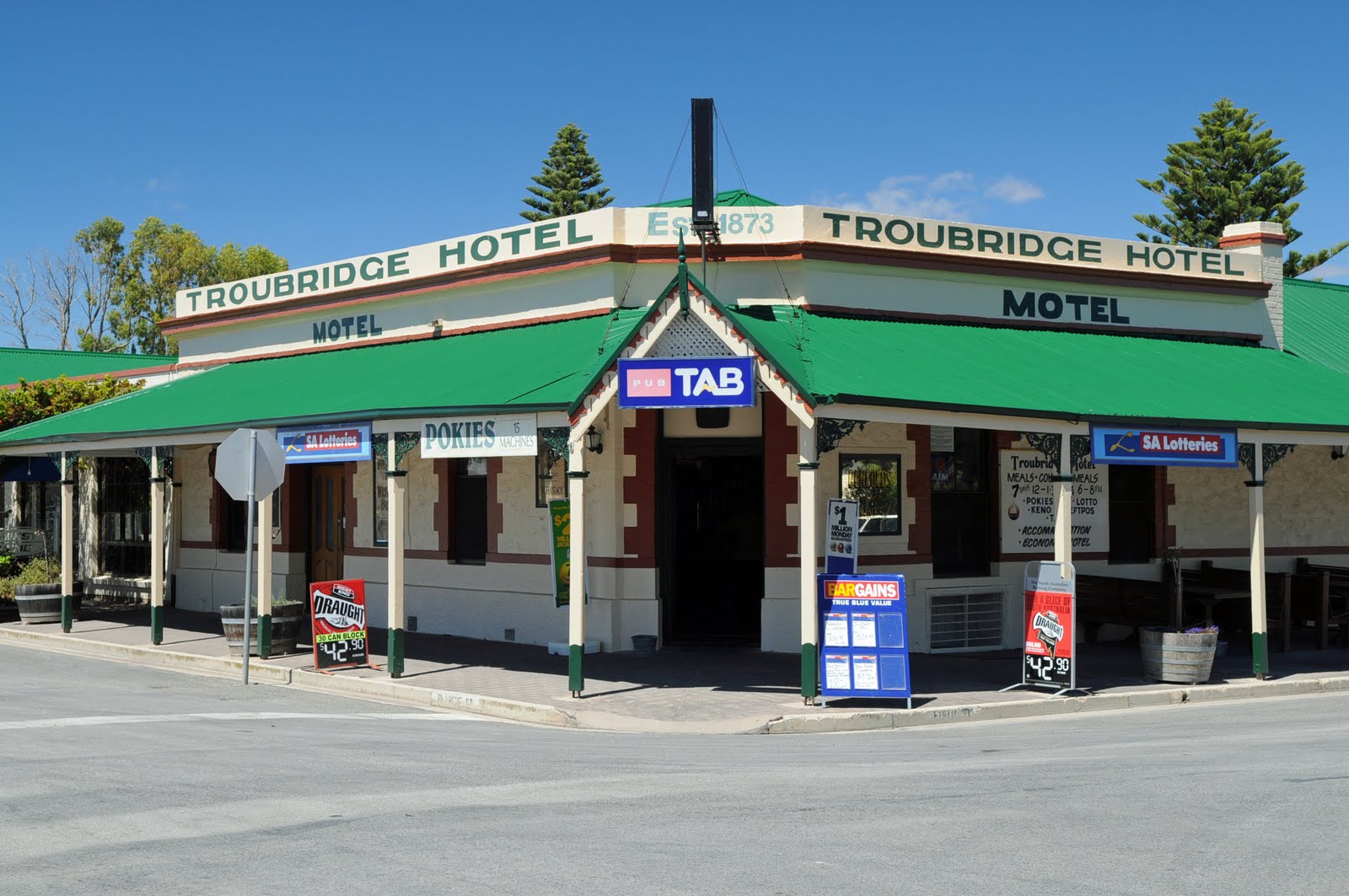
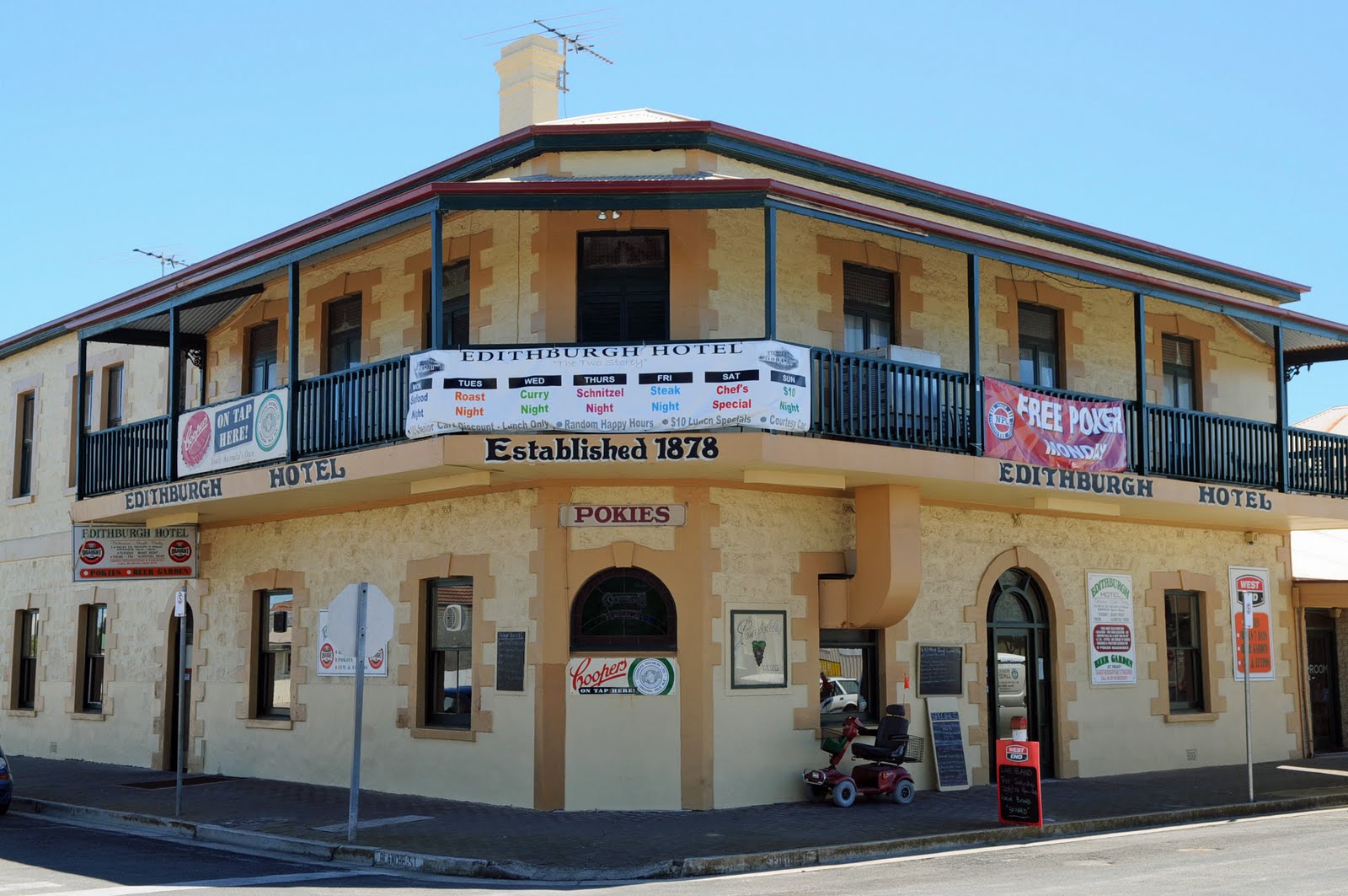
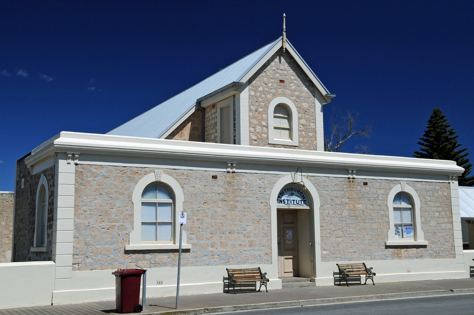
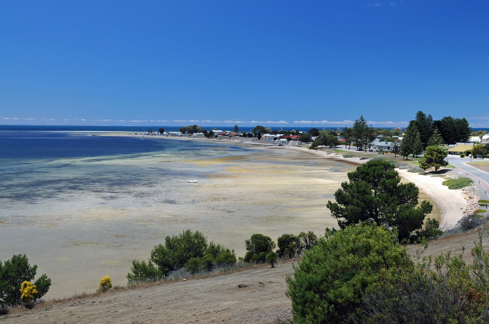
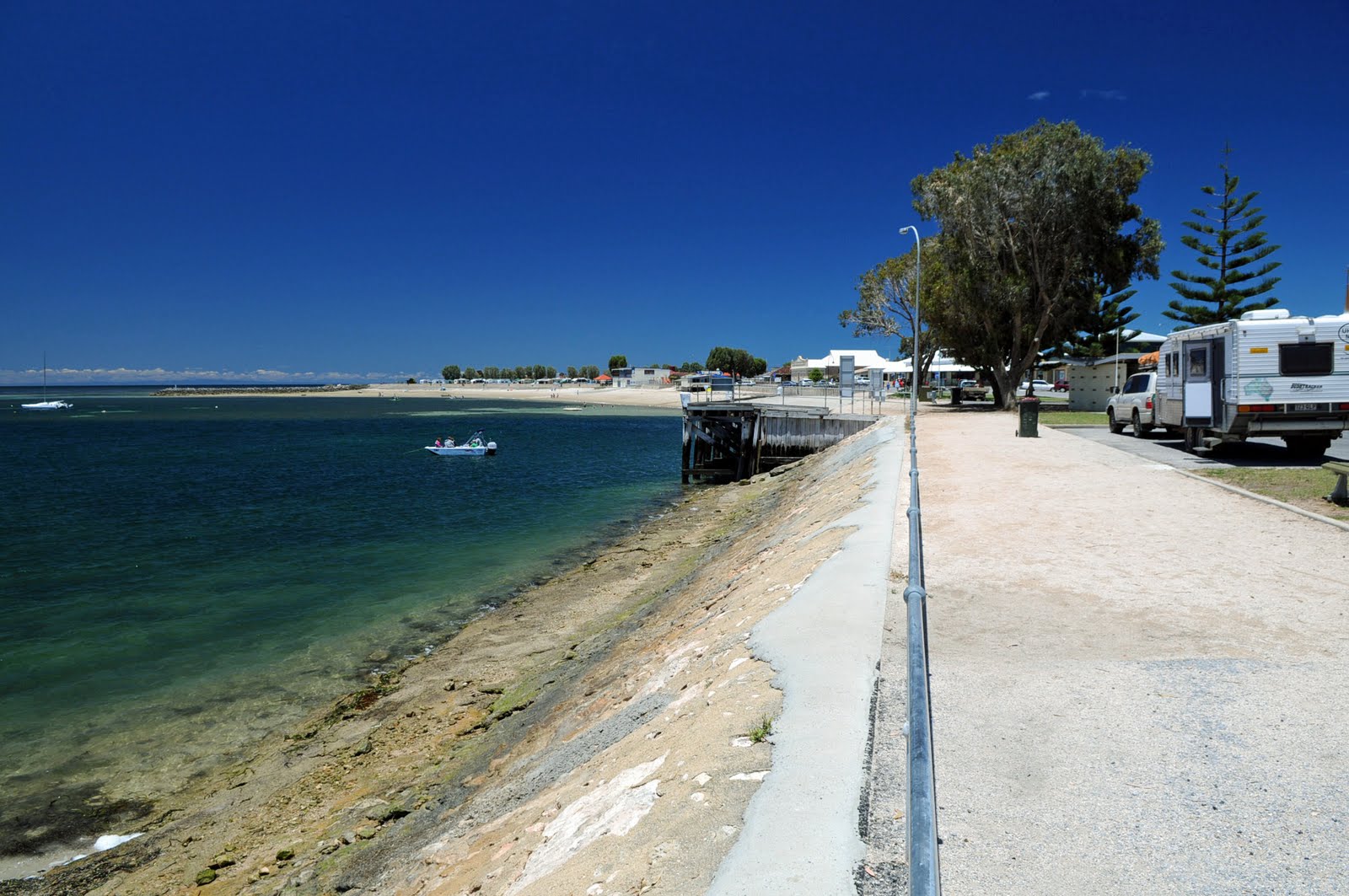
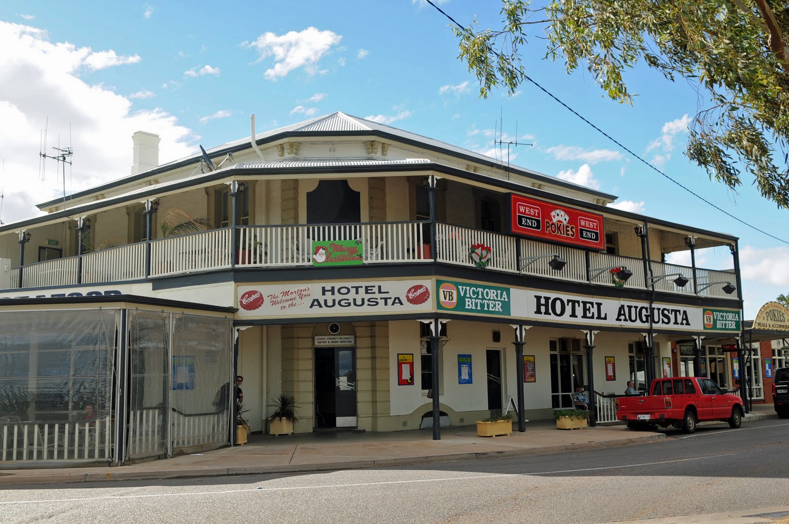
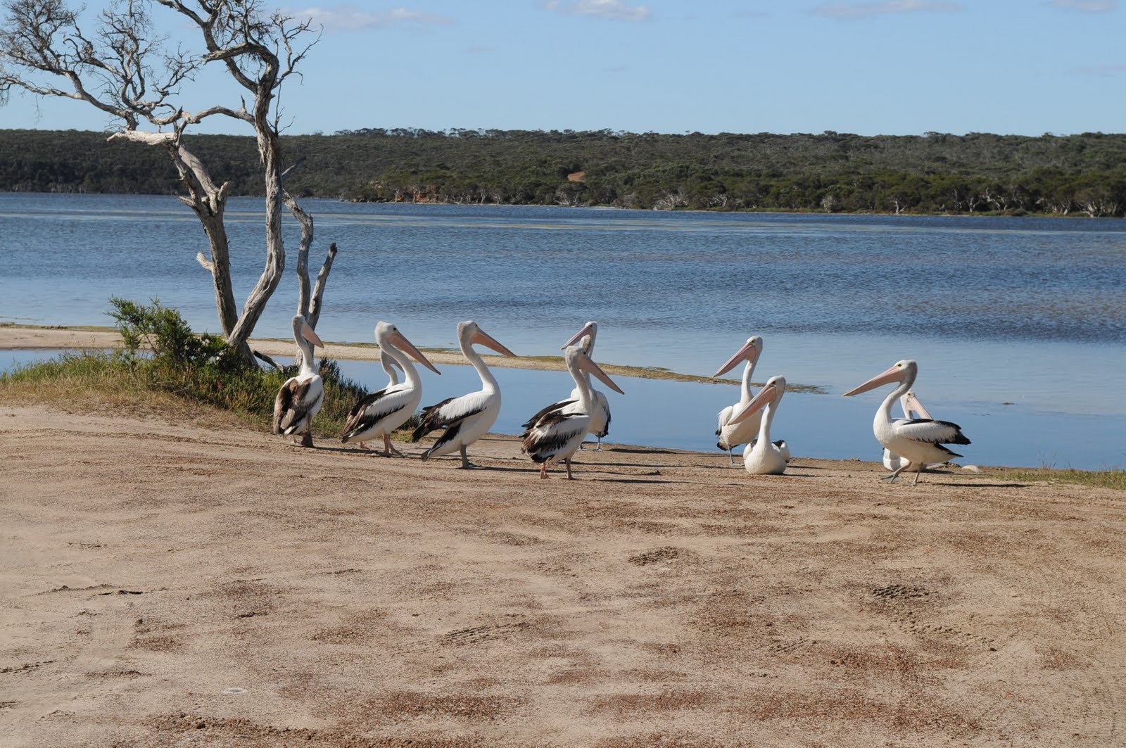
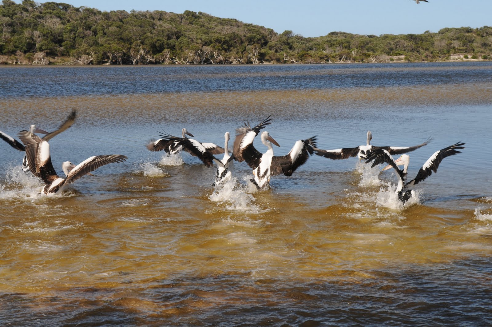
Our stop for the night was at the little fishing town of Port Victoria on the coast.
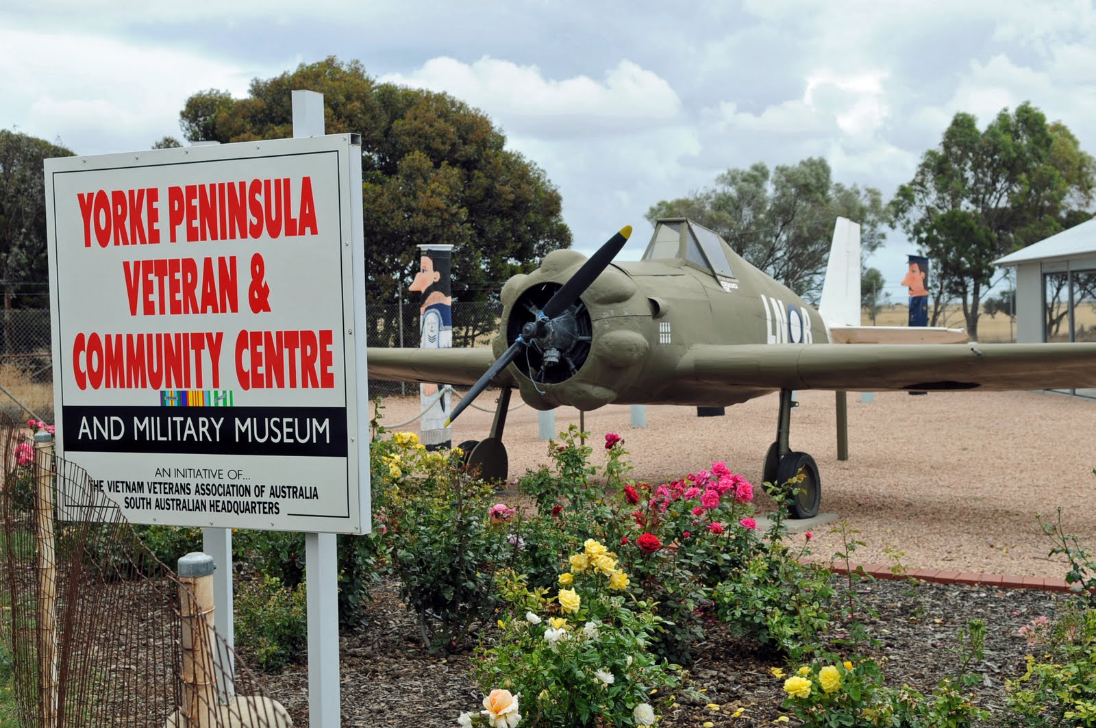
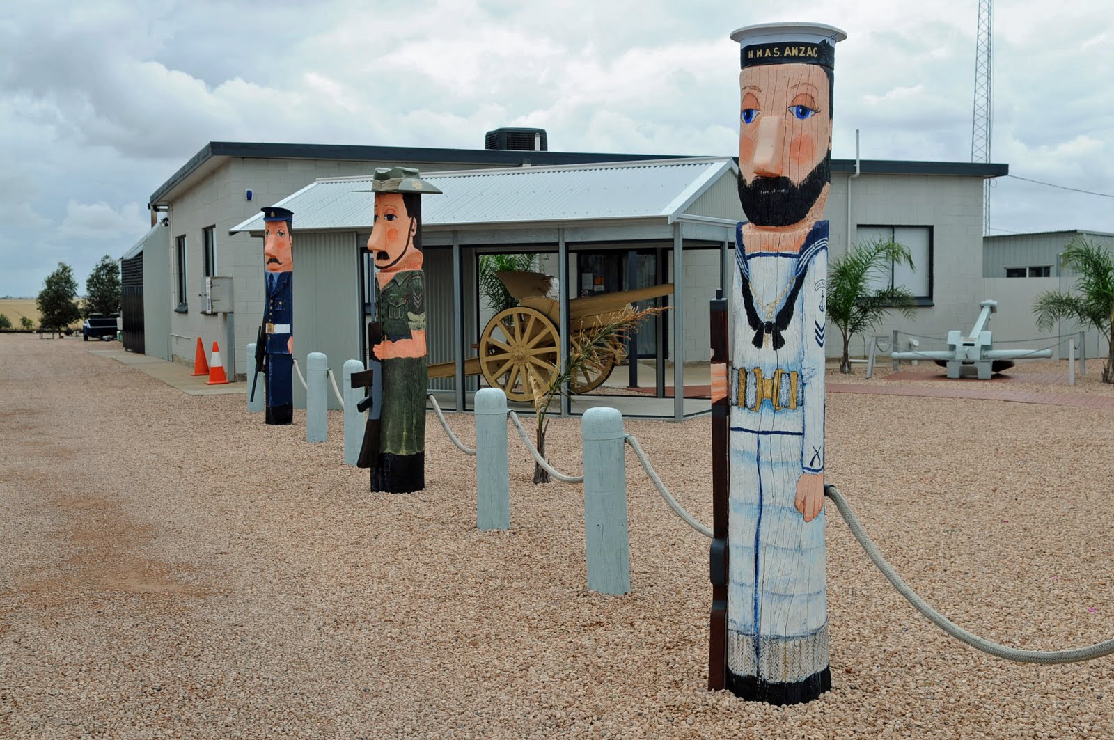
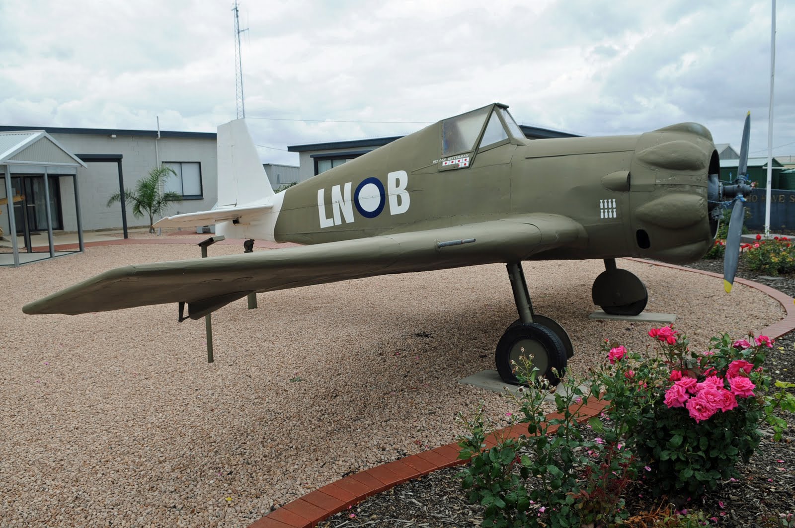
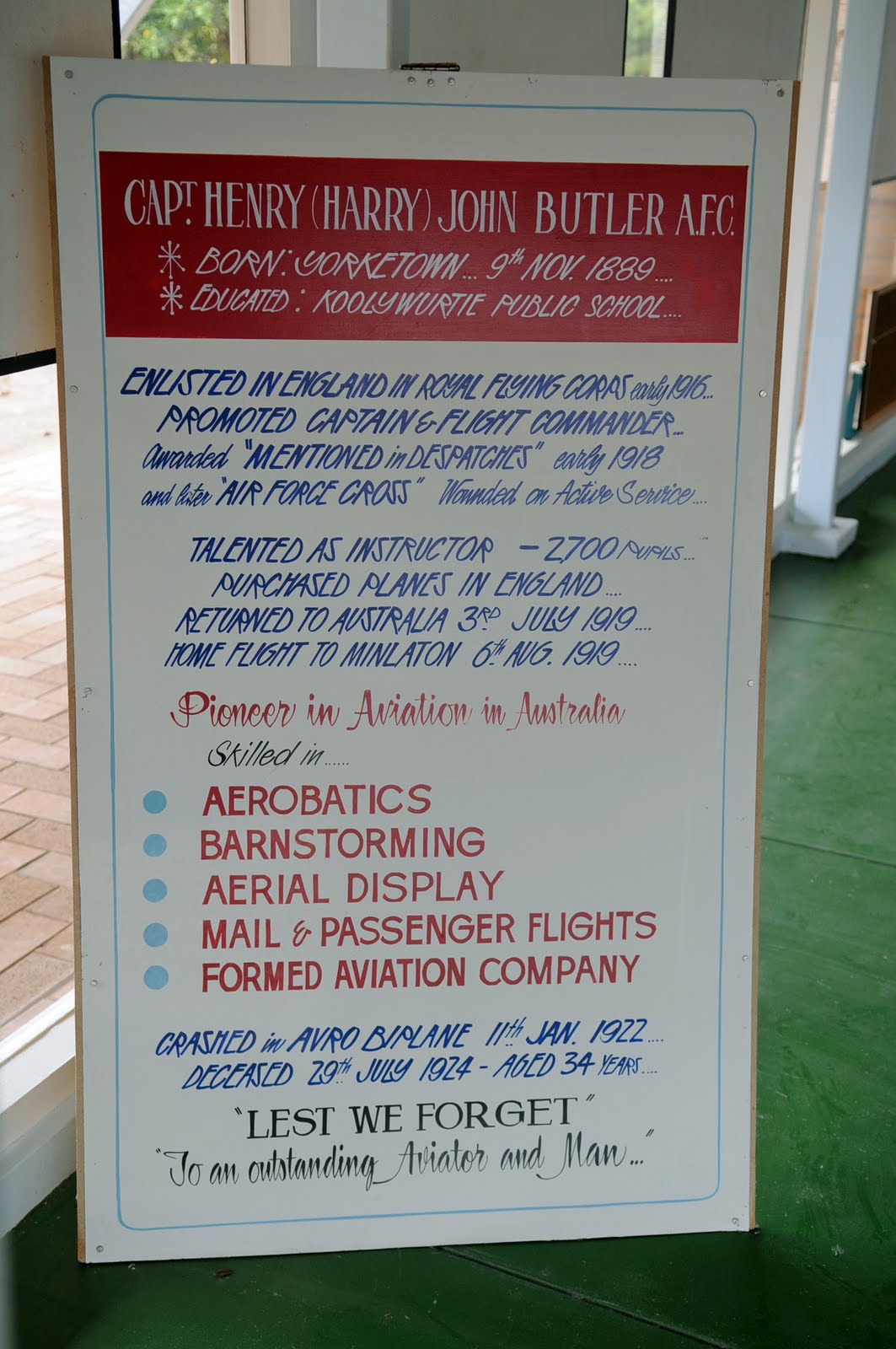
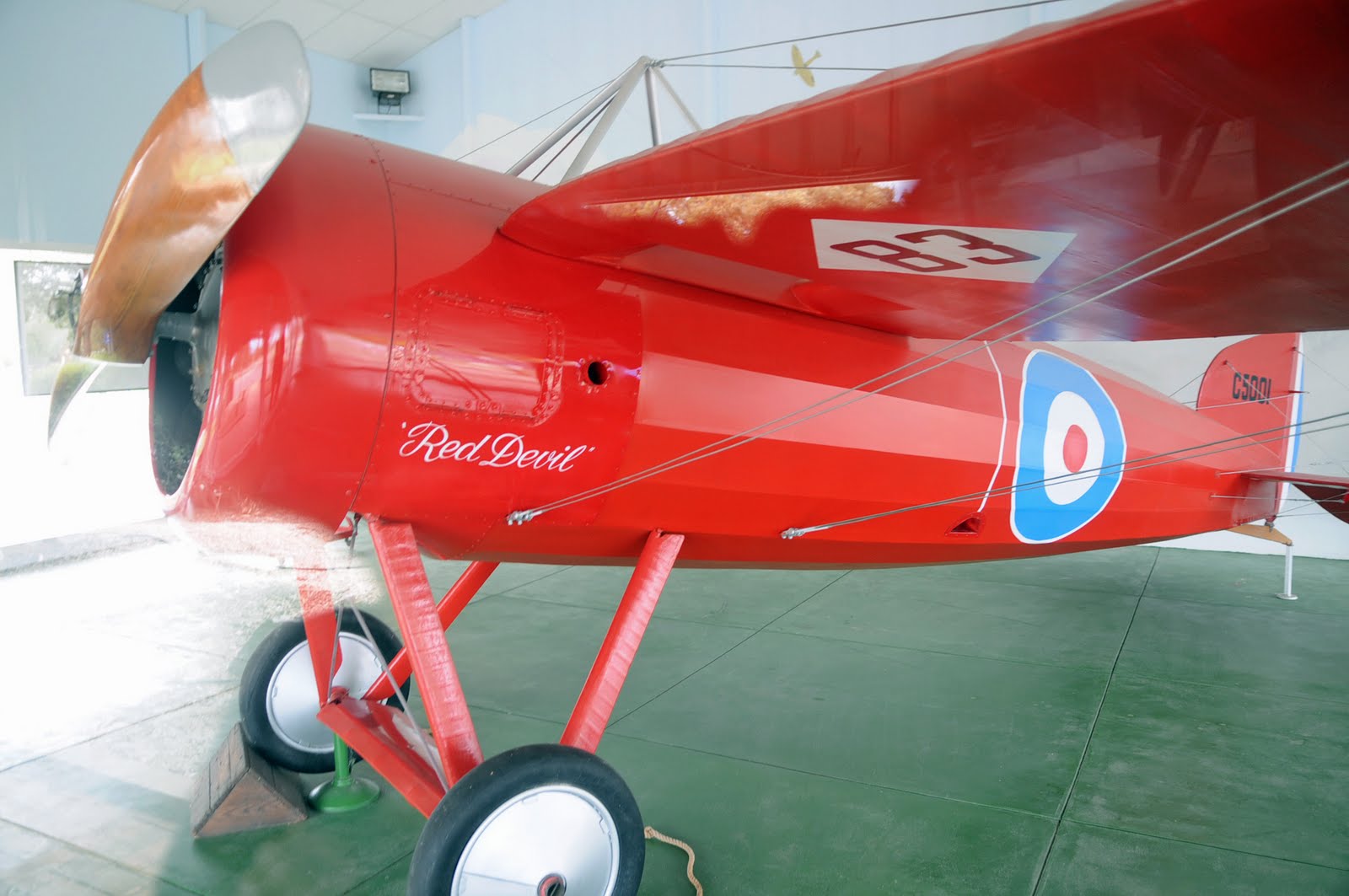
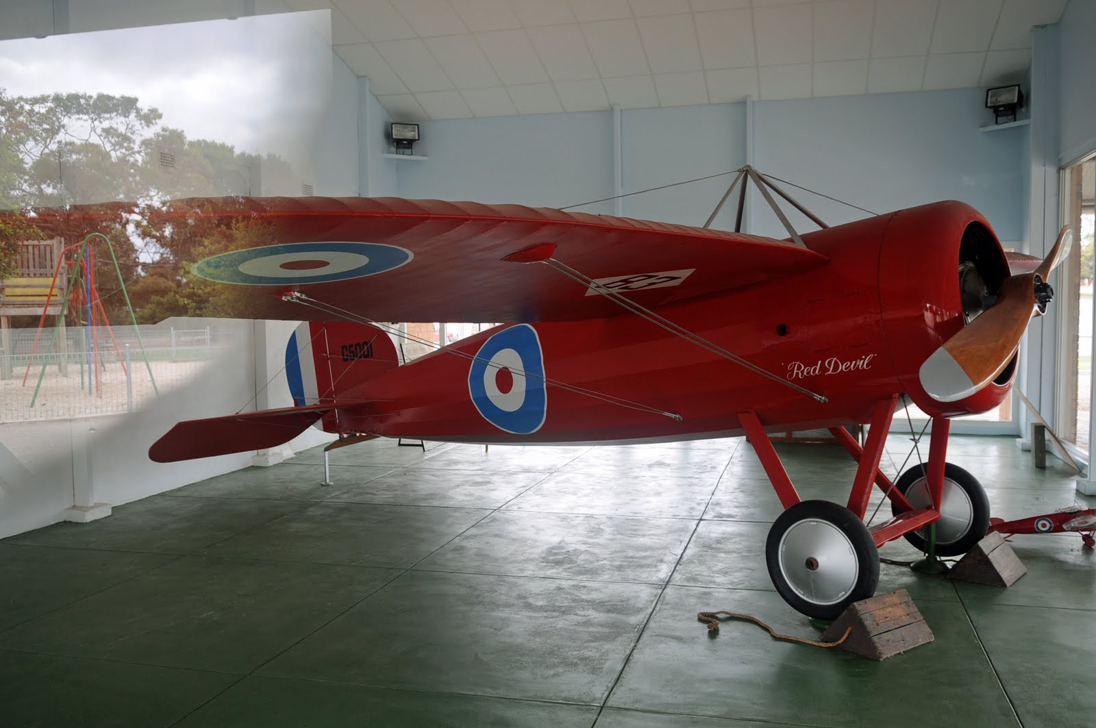
The countryside of this peninsula is flat large fields barley and wheat. The main attraction in Minlaton is the red plane, known as the Red Devil, of Captain Harry Butler who flew across the Gulf from Adelaide to deliver the mail in 1919.
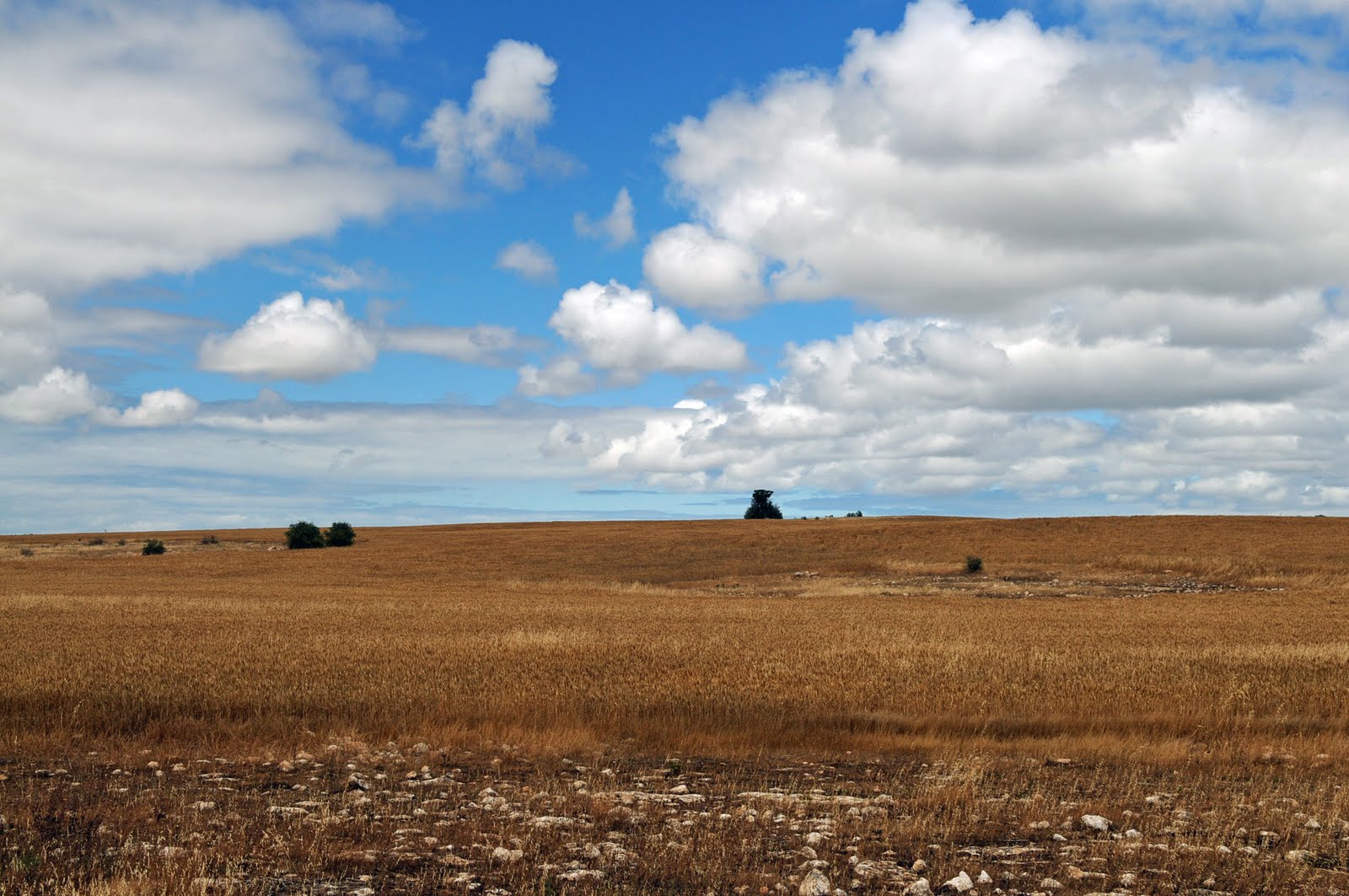
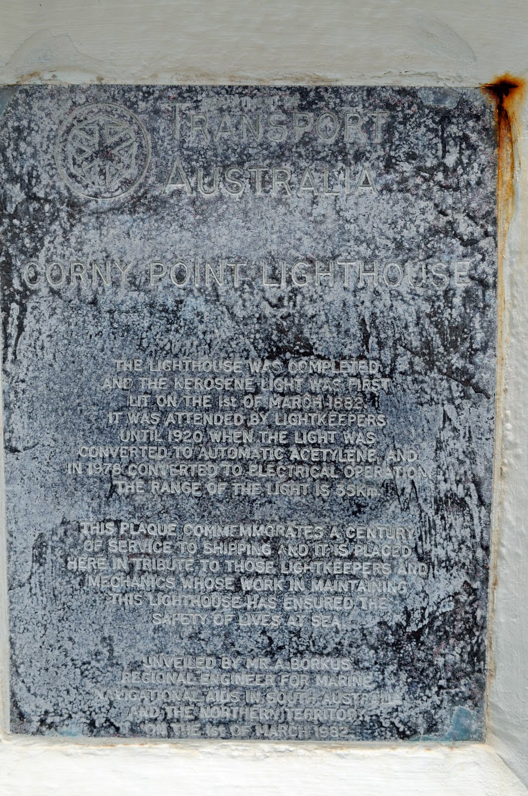
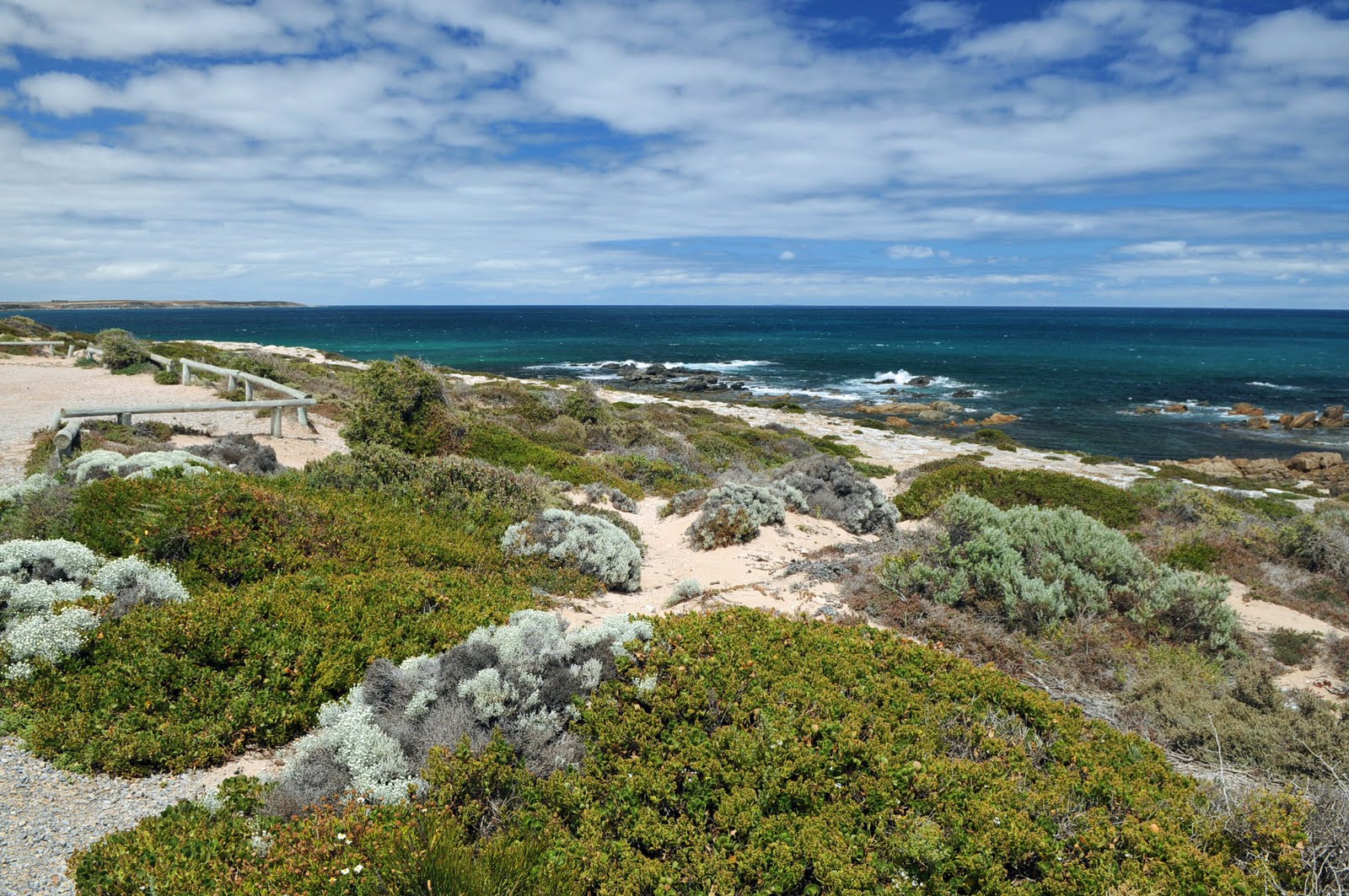
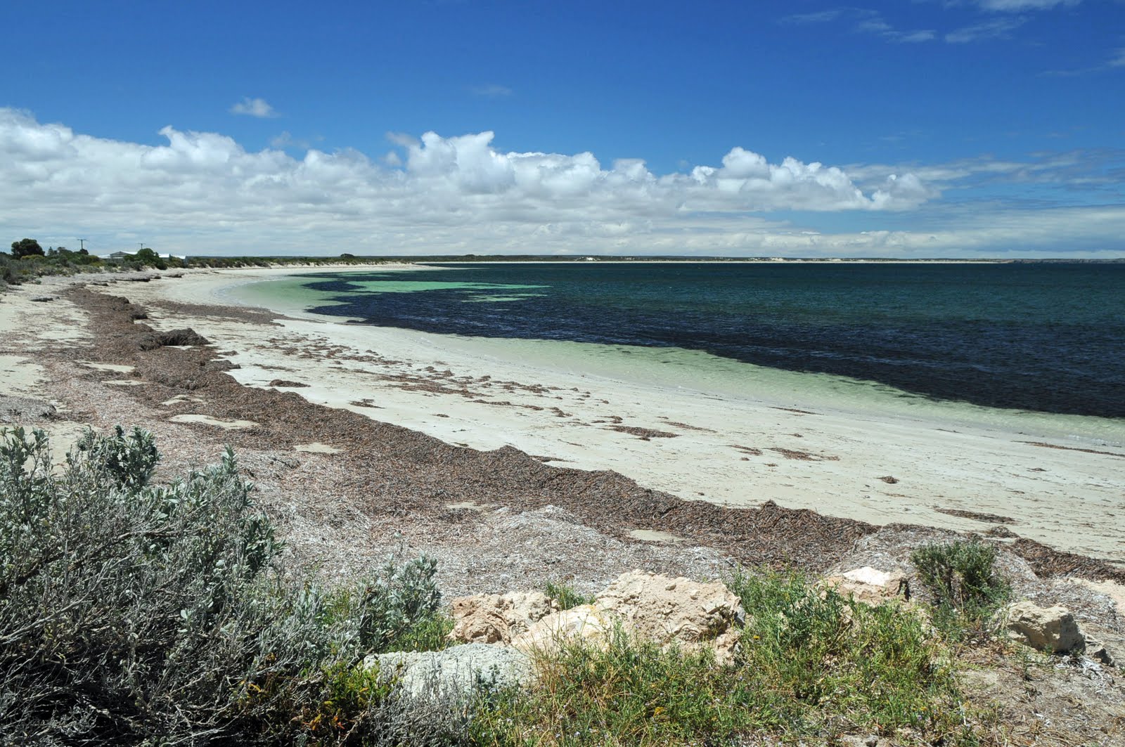
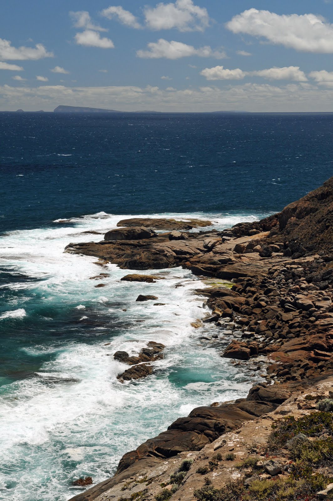
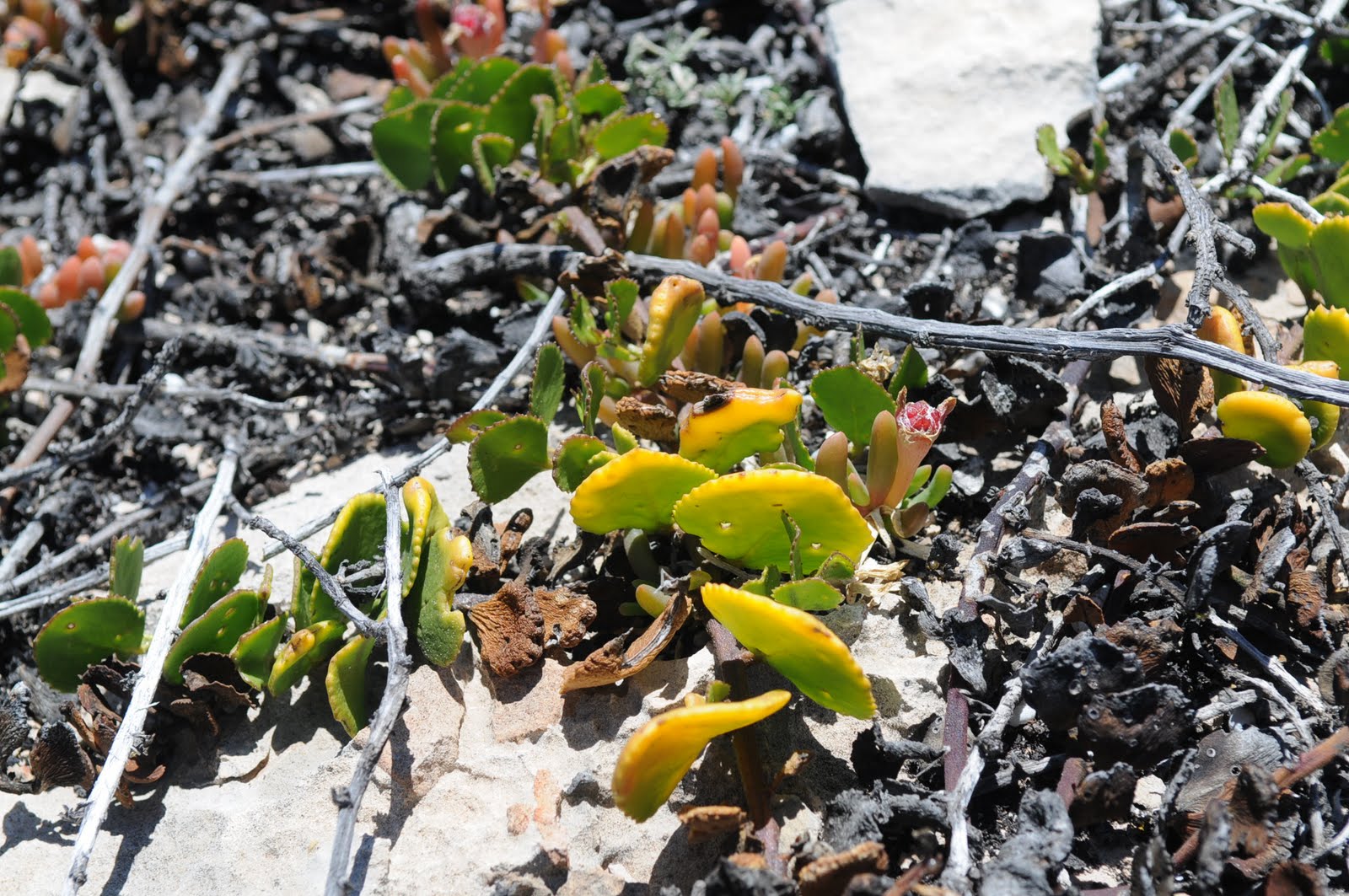
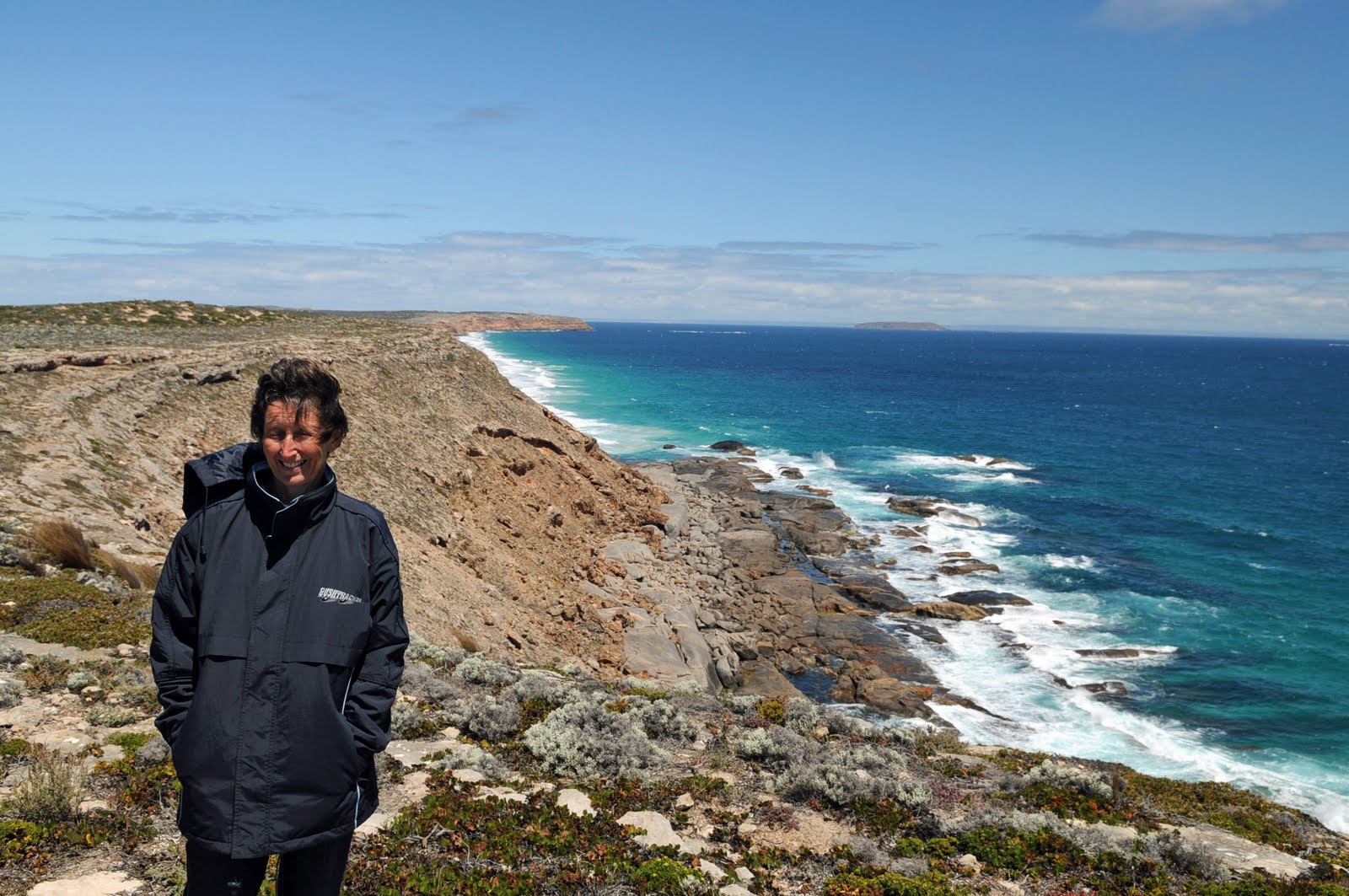
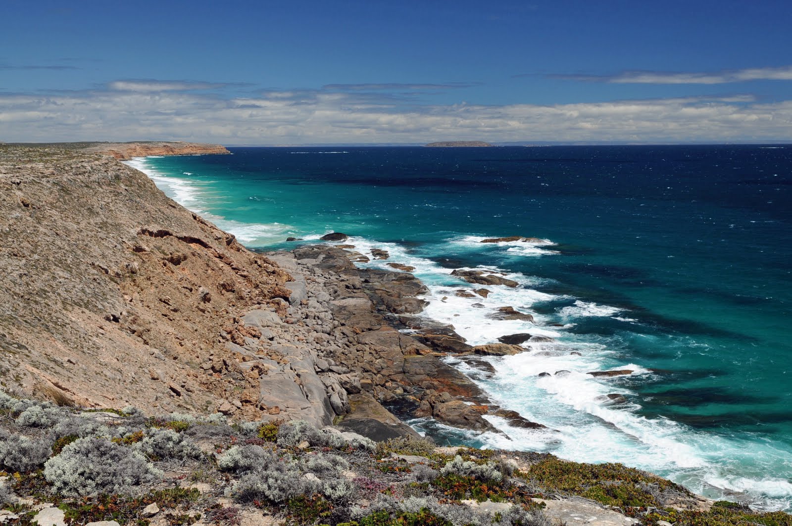
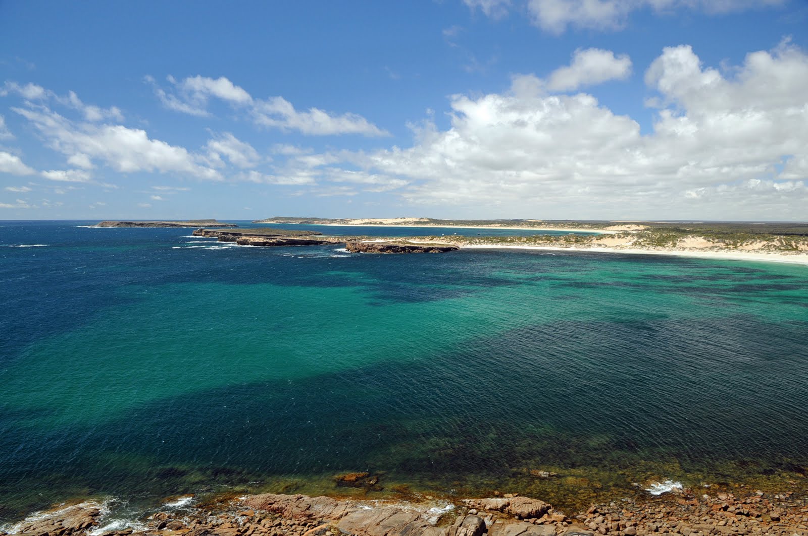
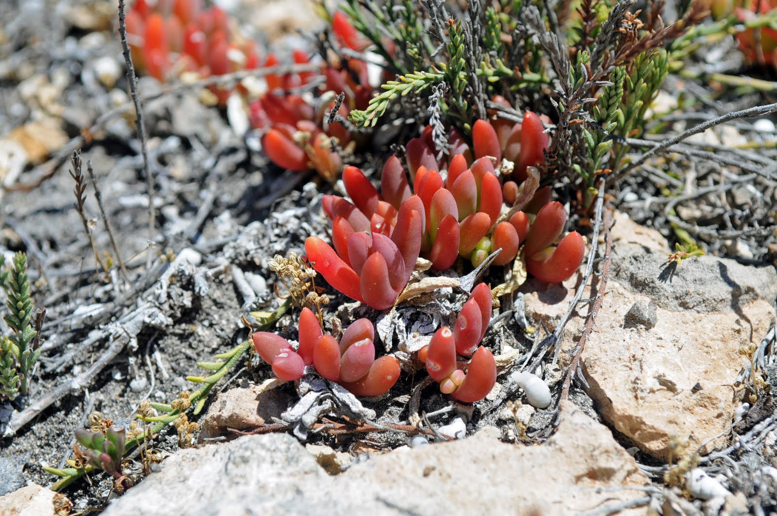
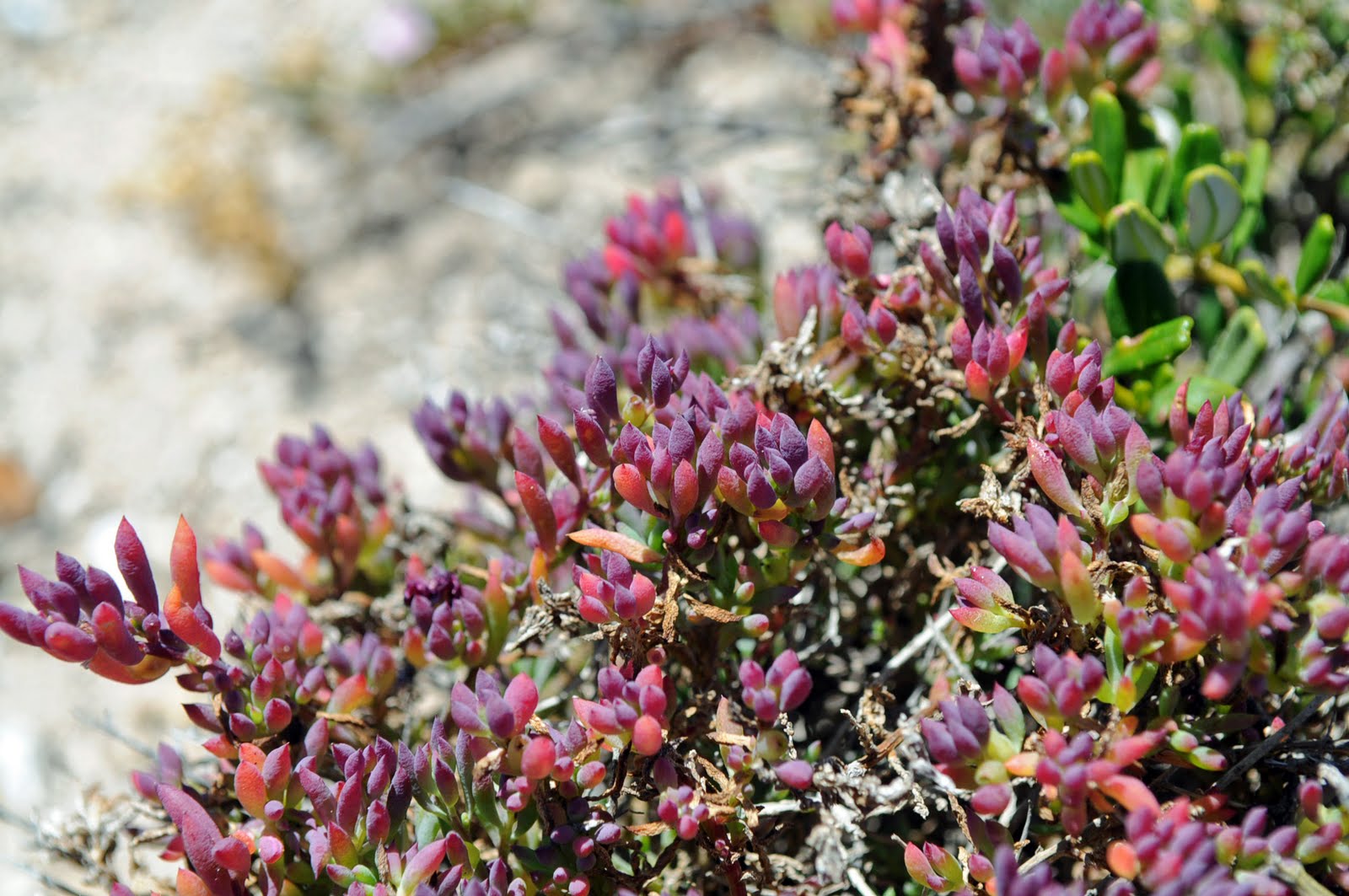
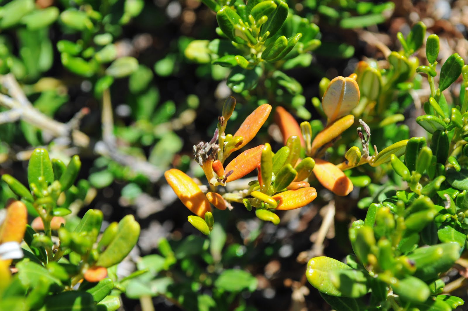
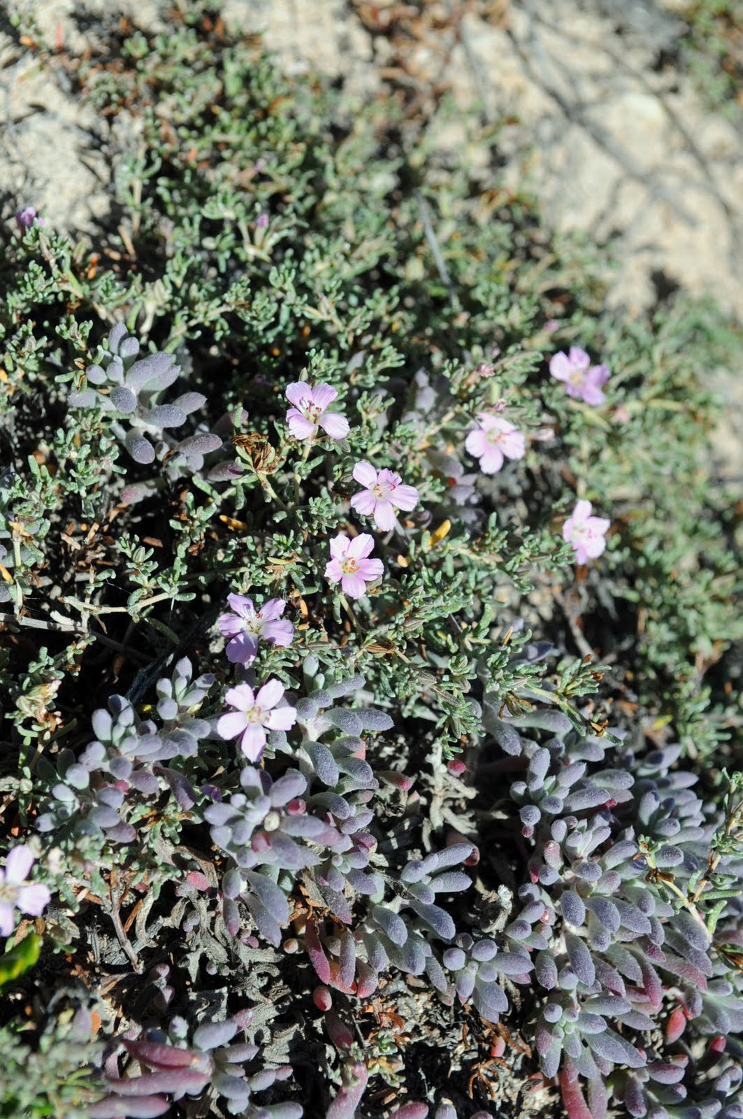
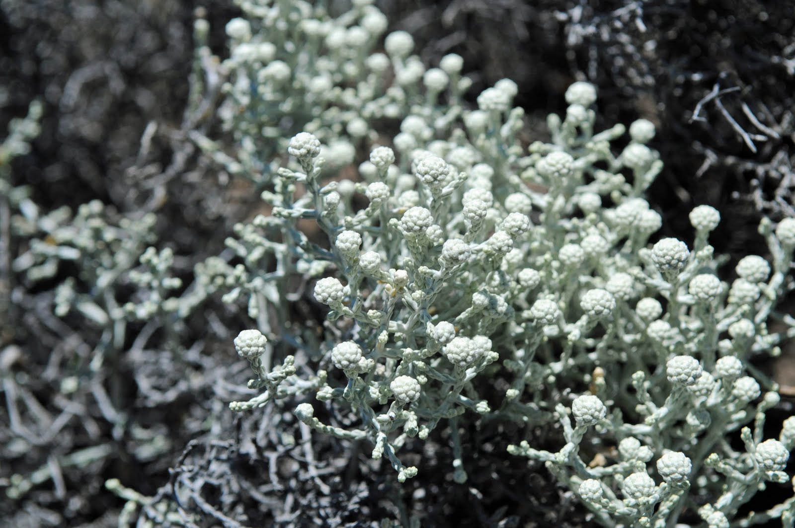
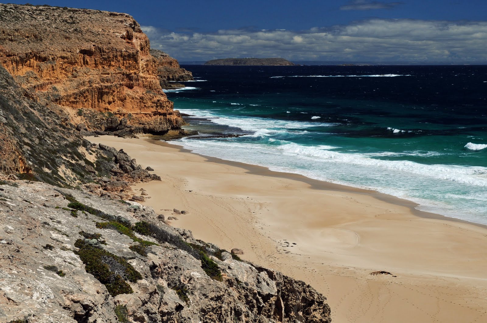
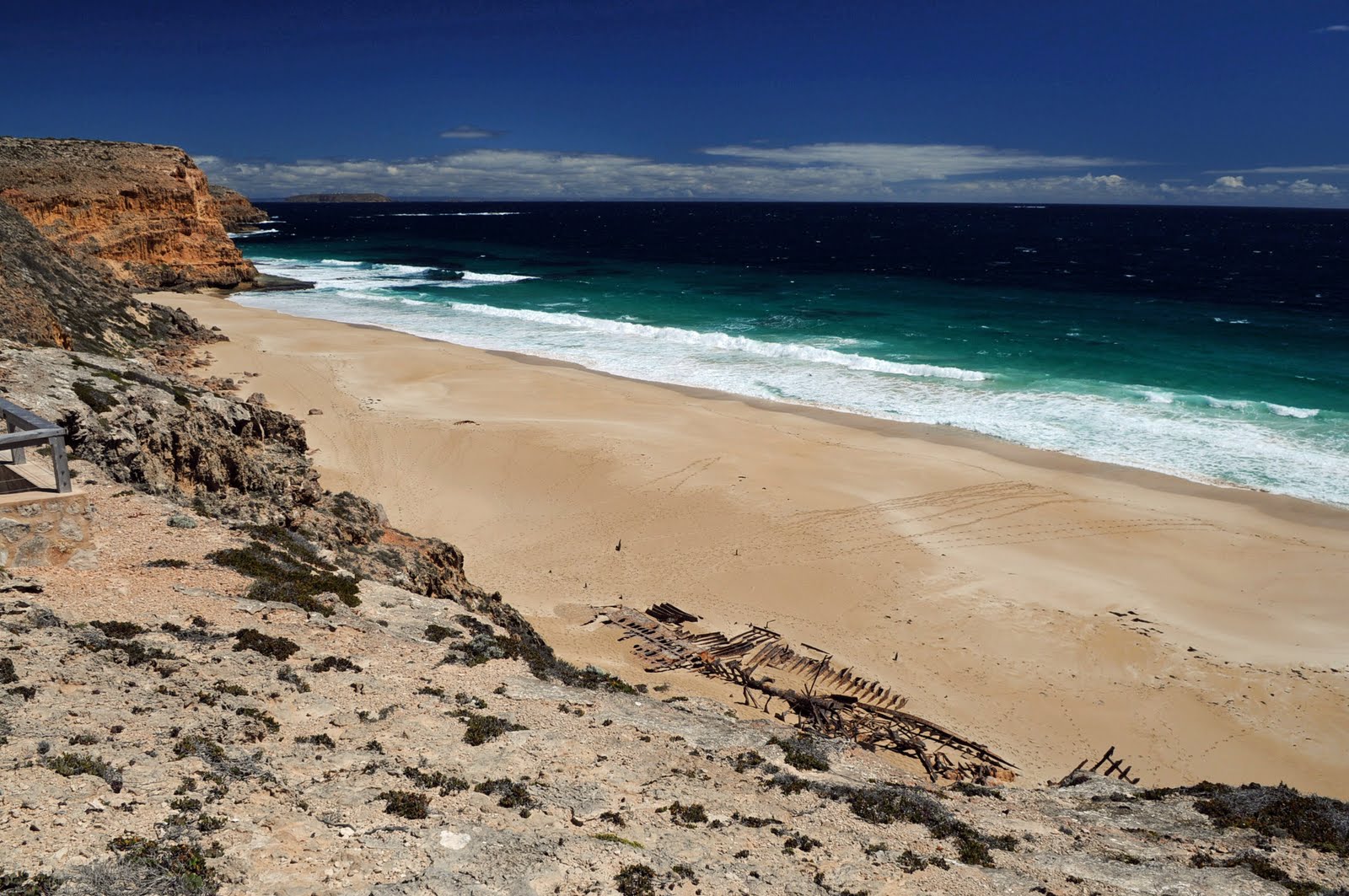
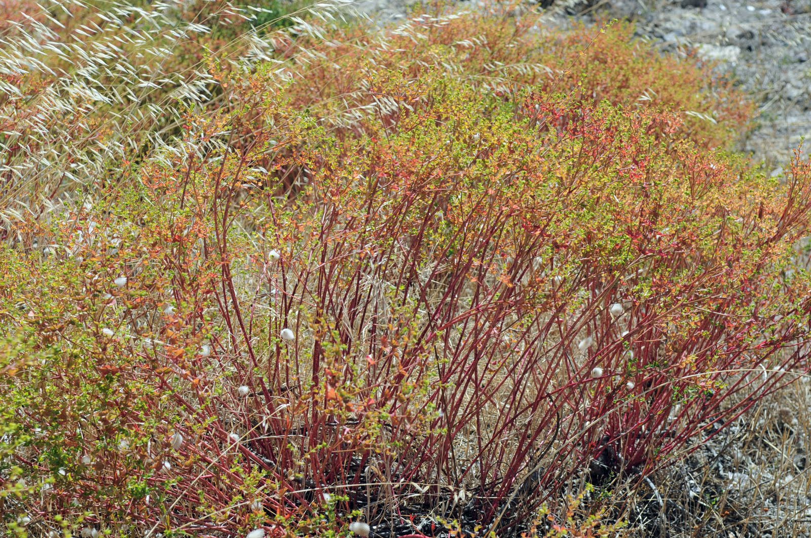
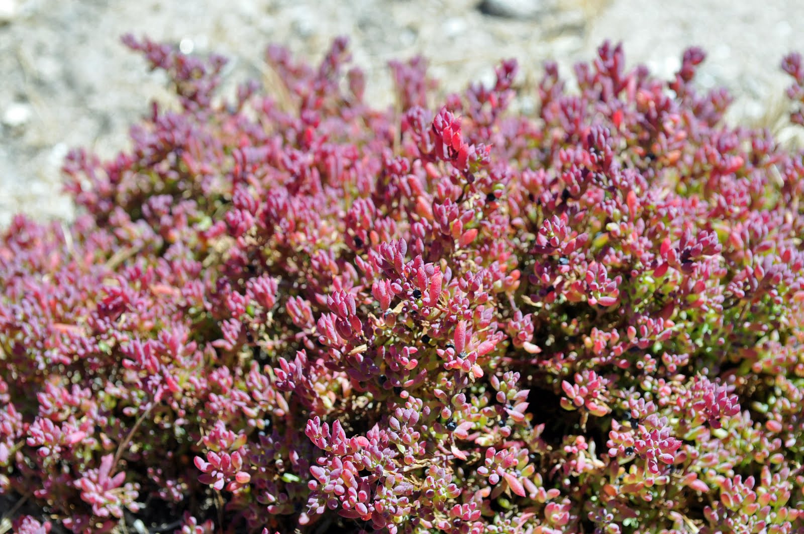
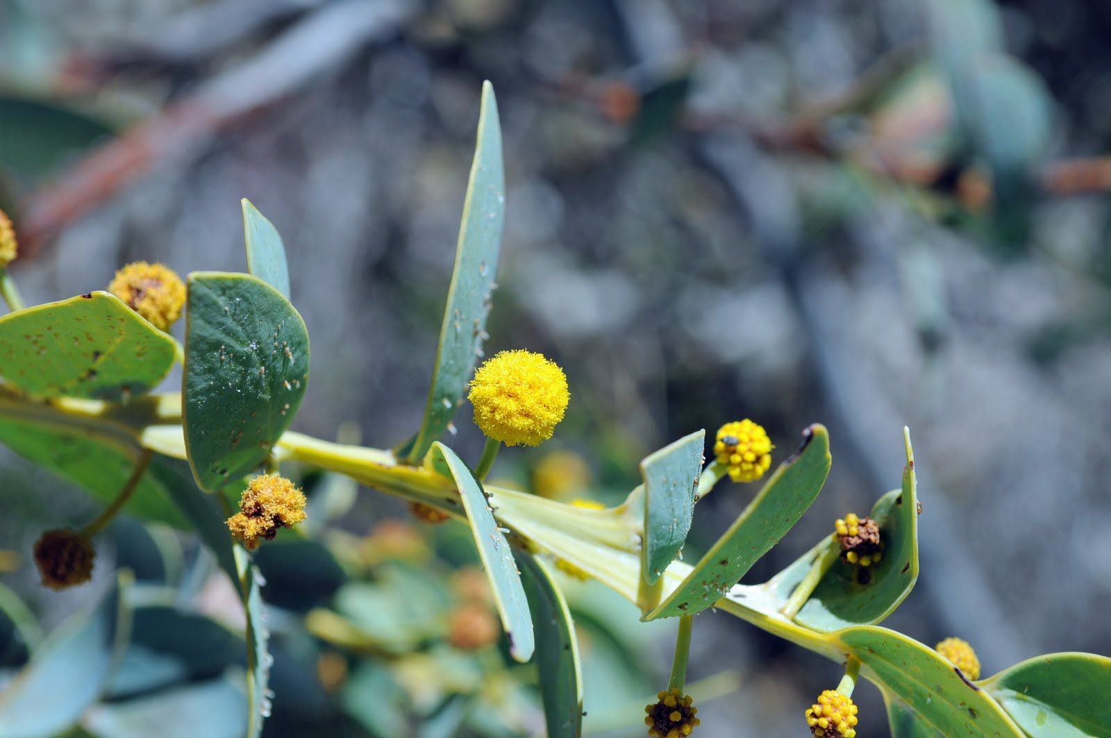
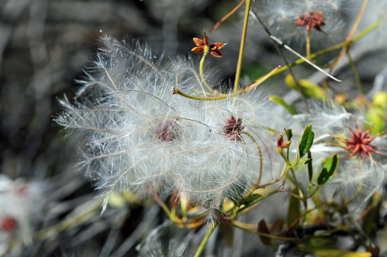
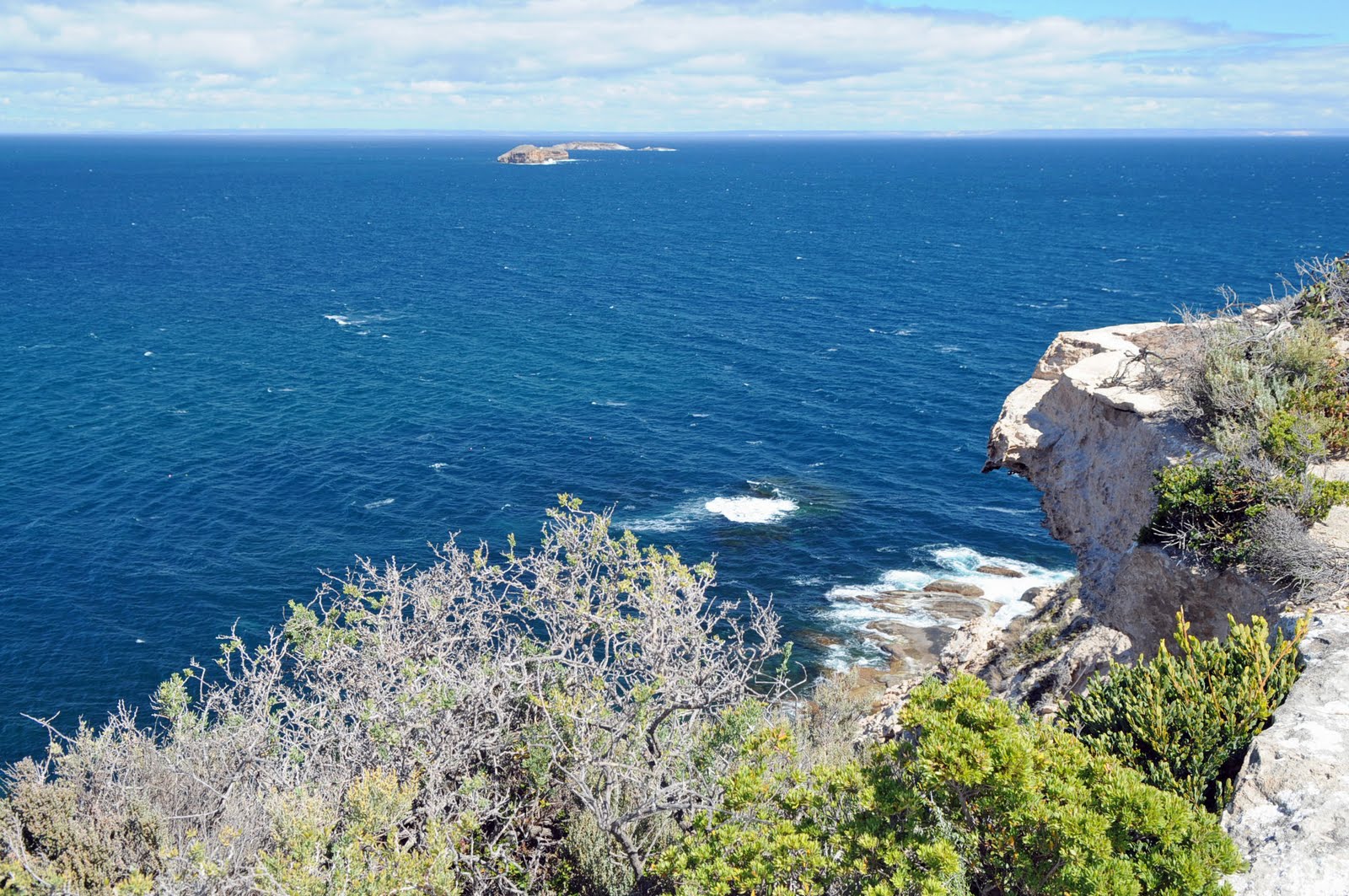
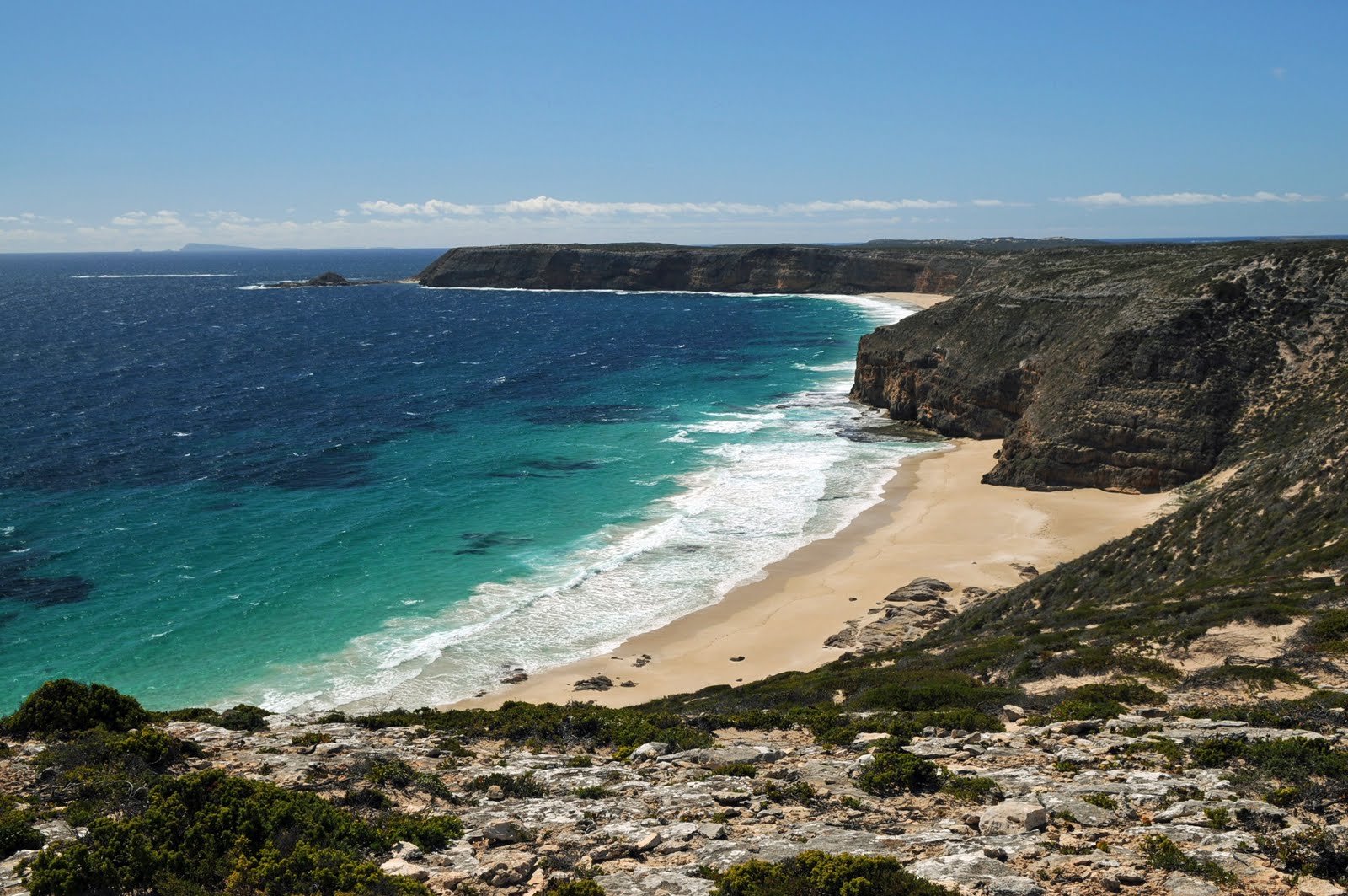
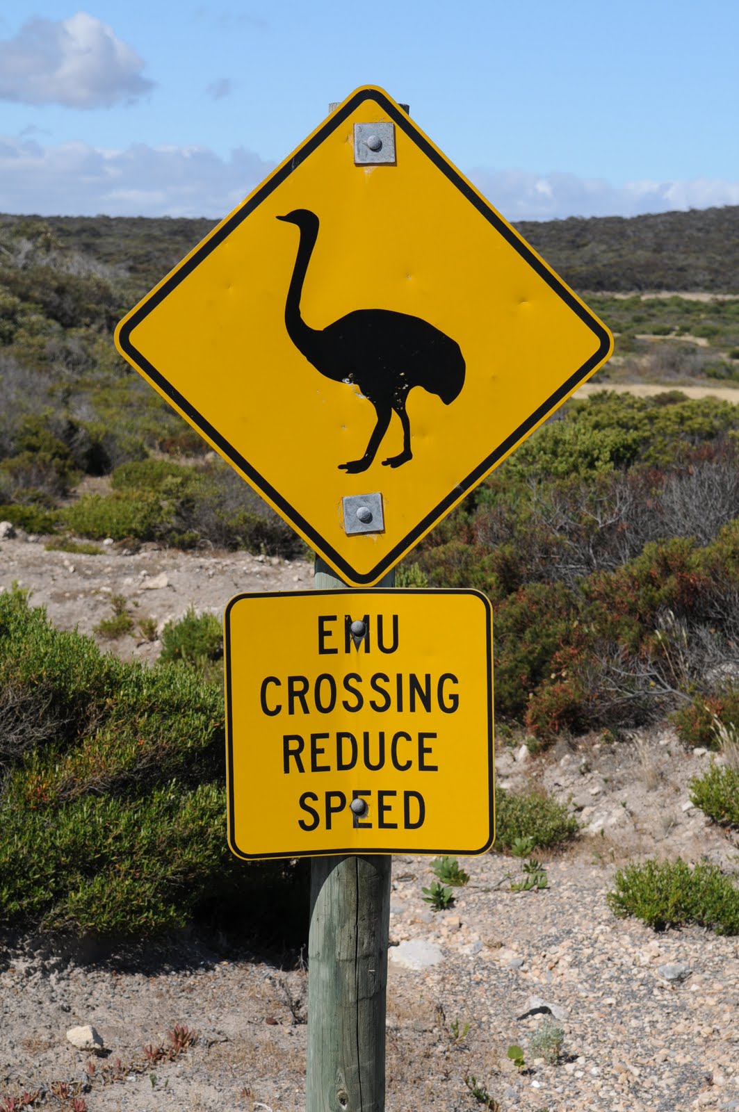
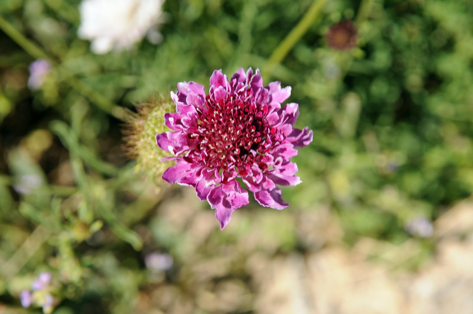
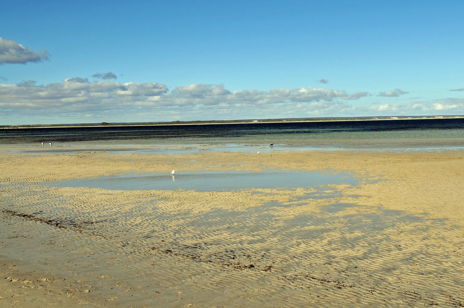
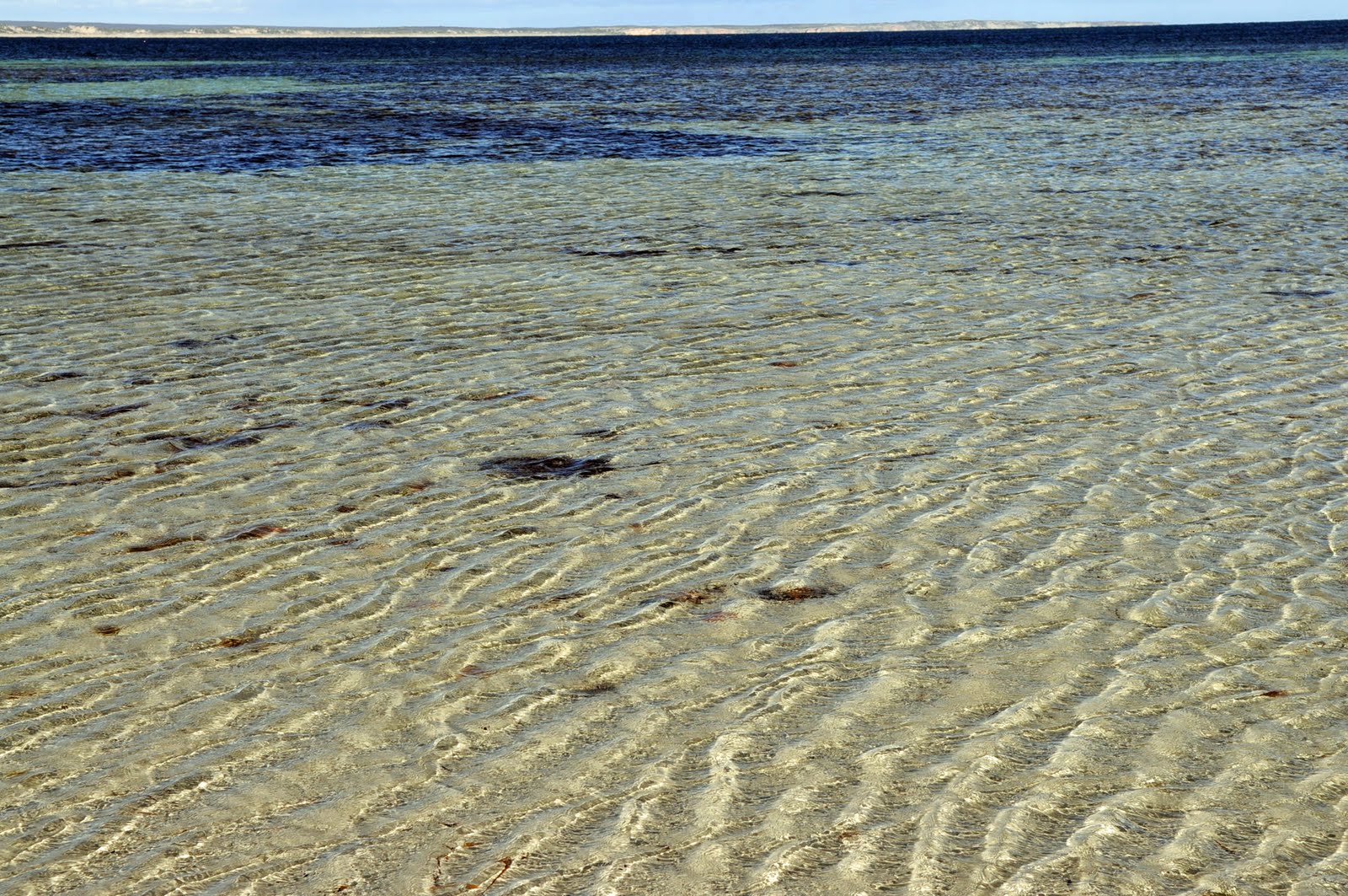
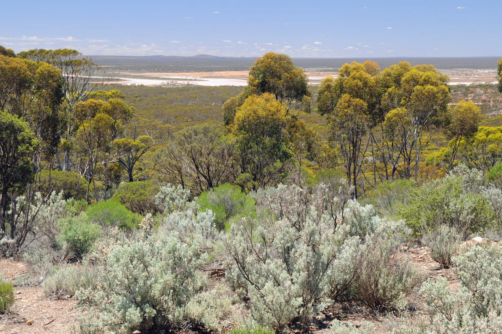
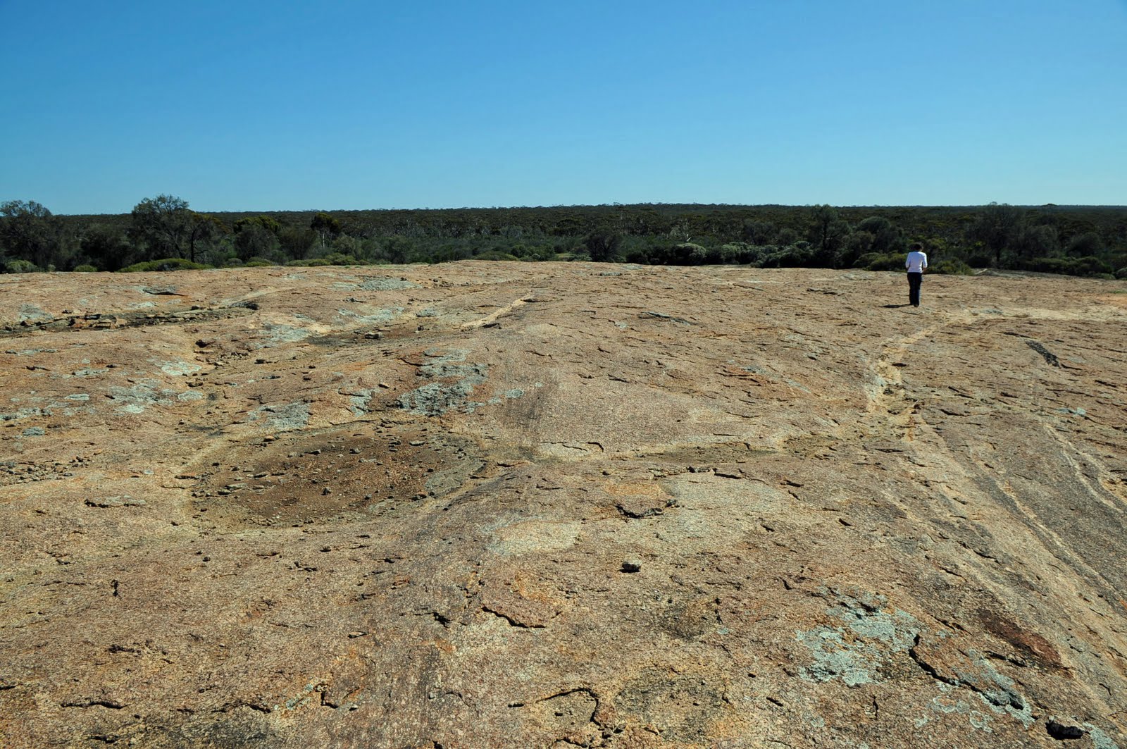
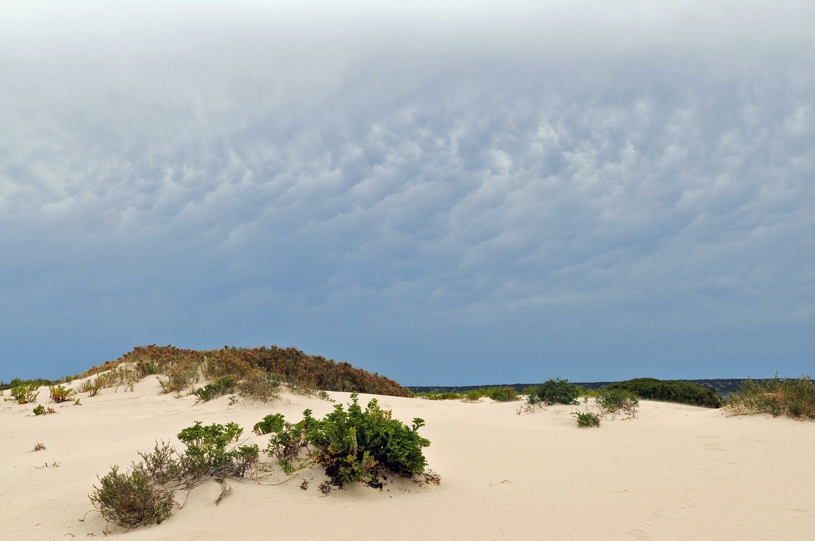
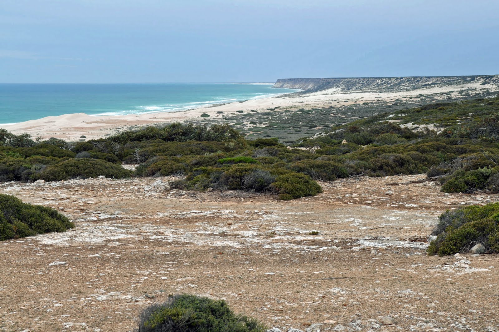
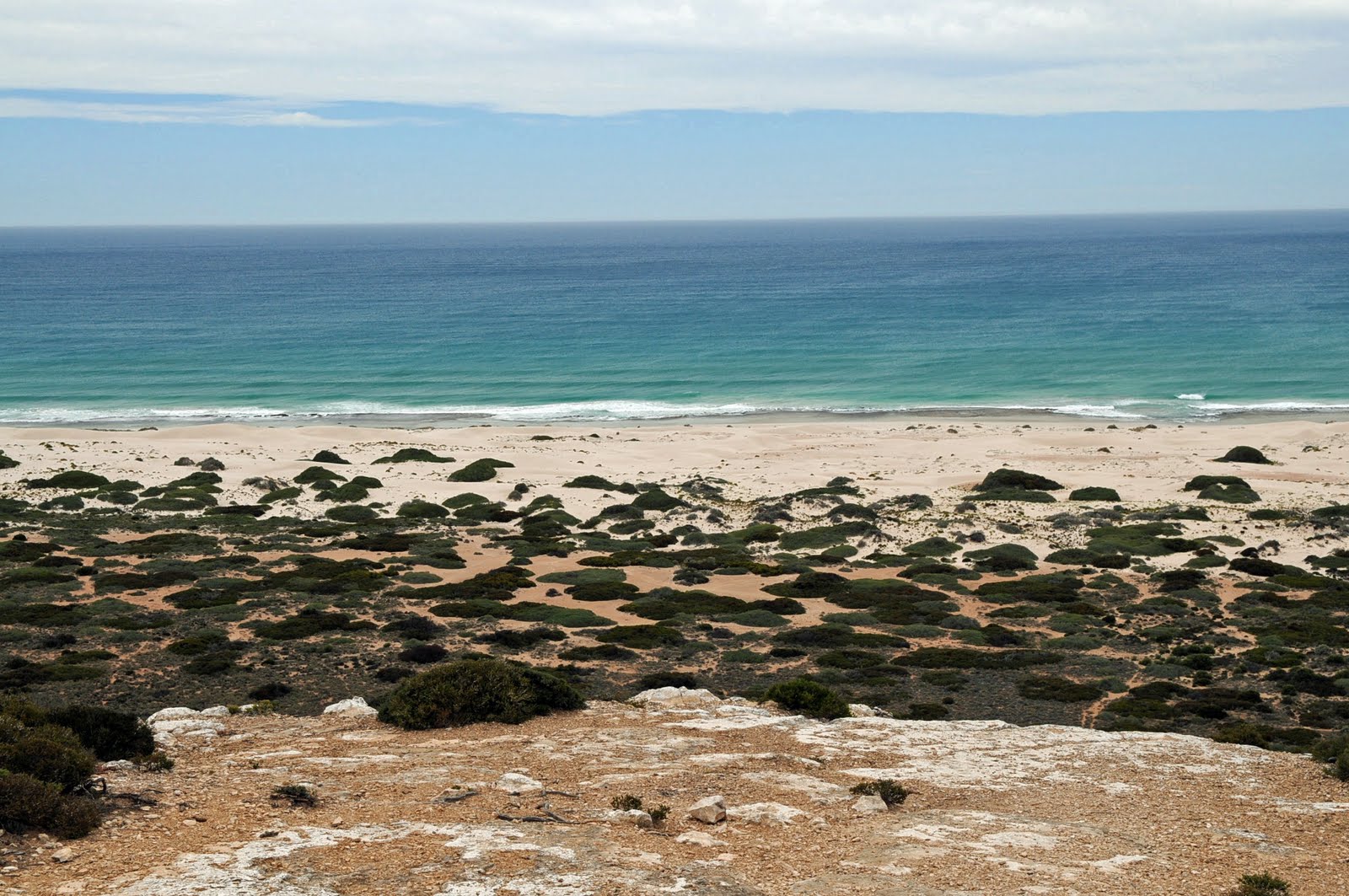
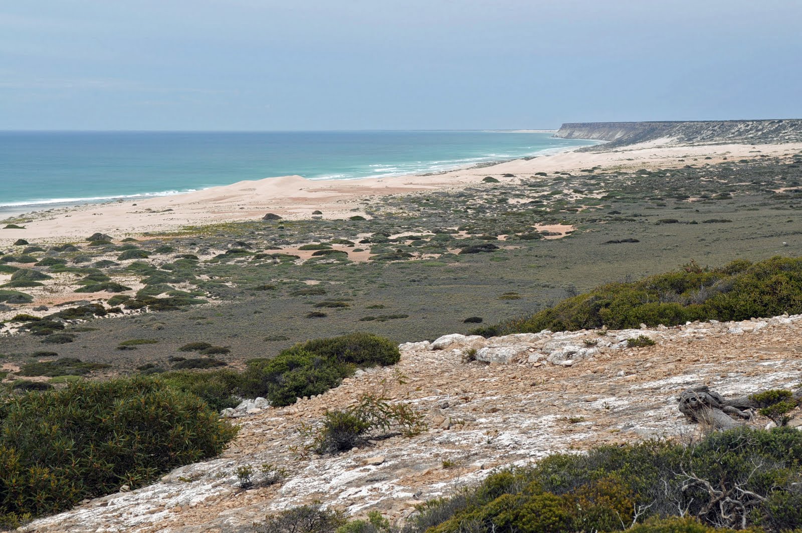
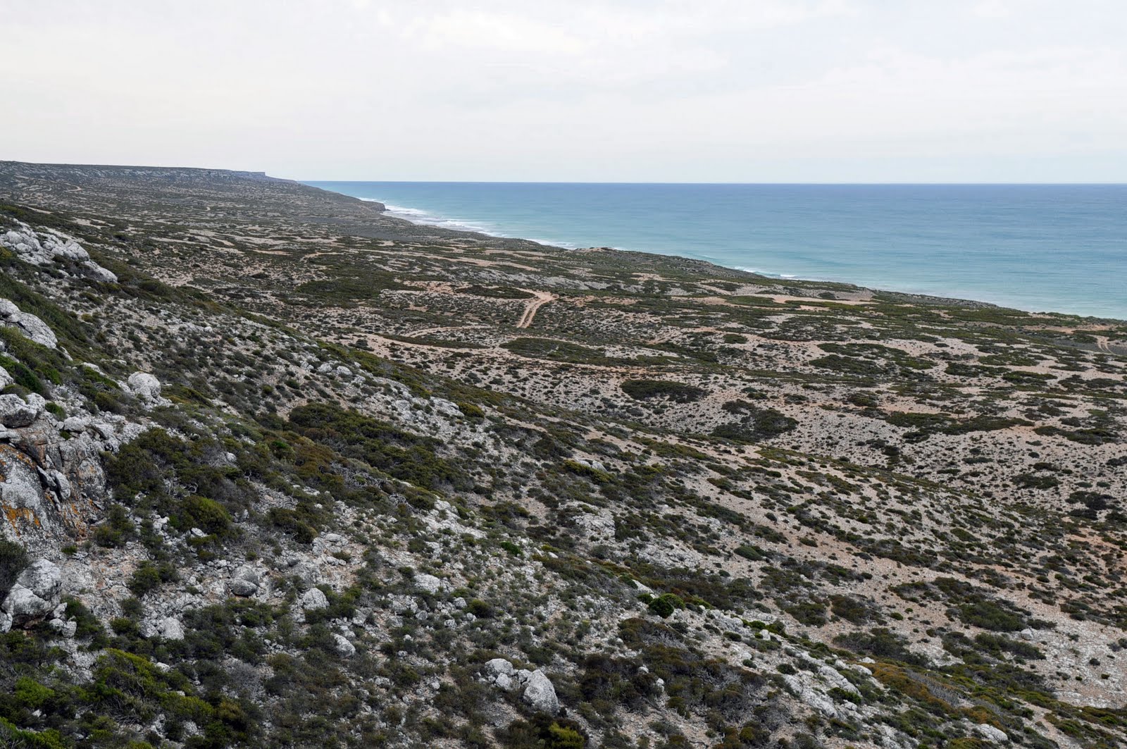
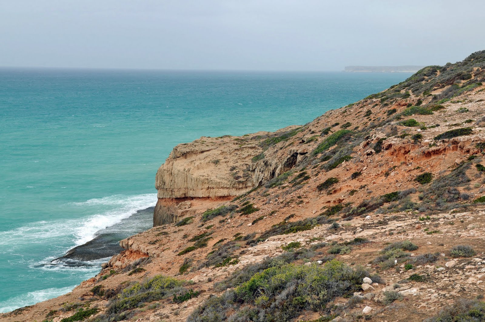
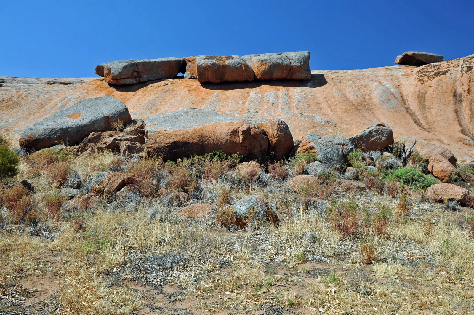
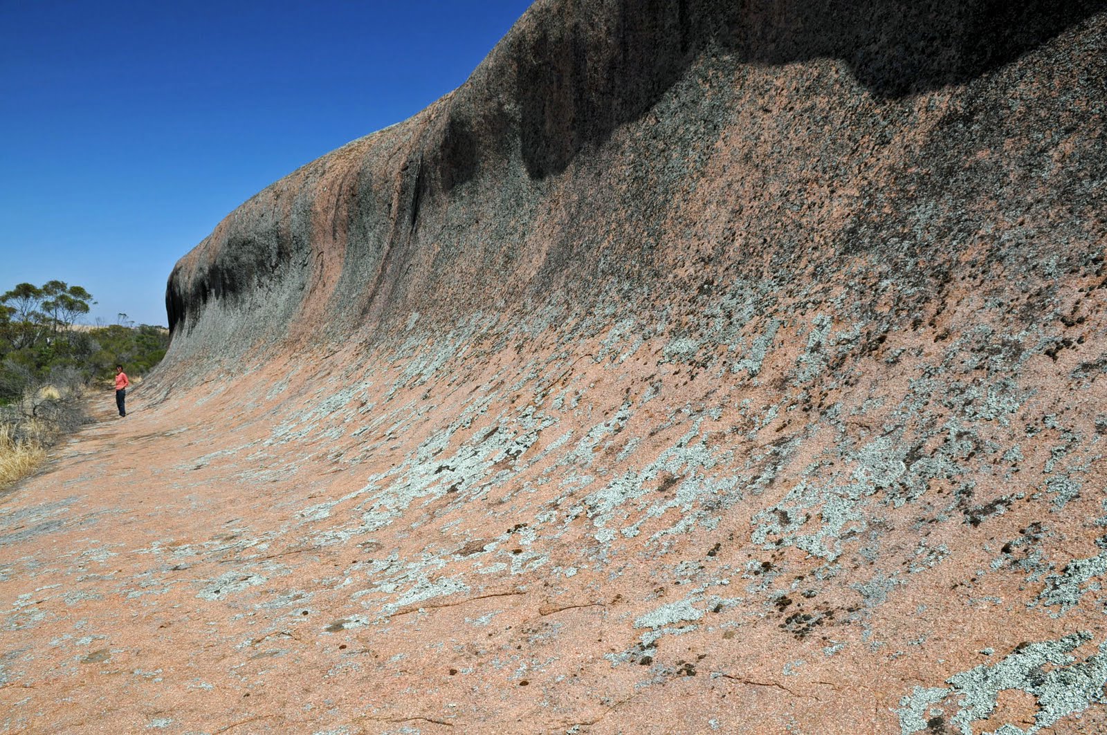
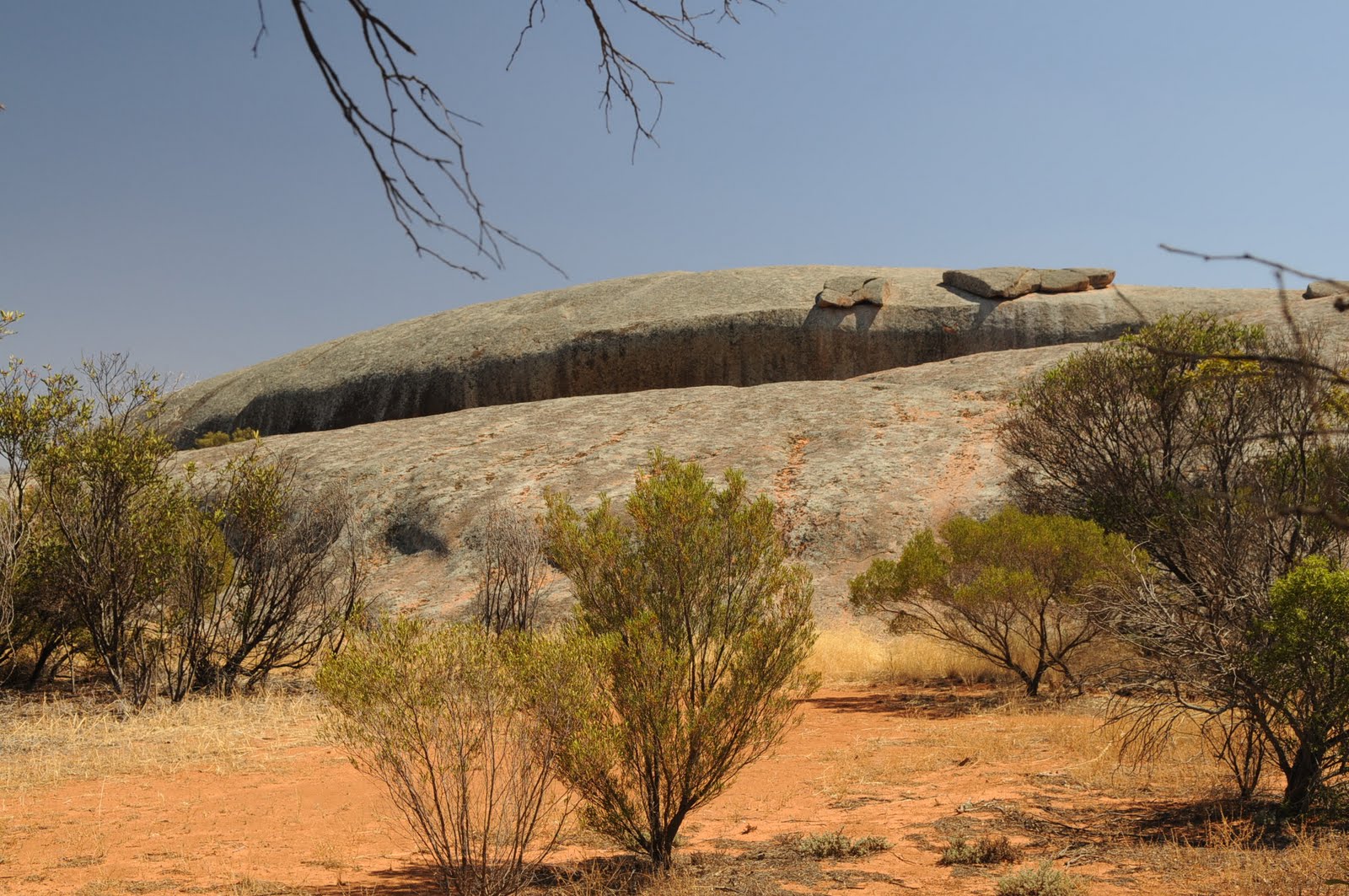
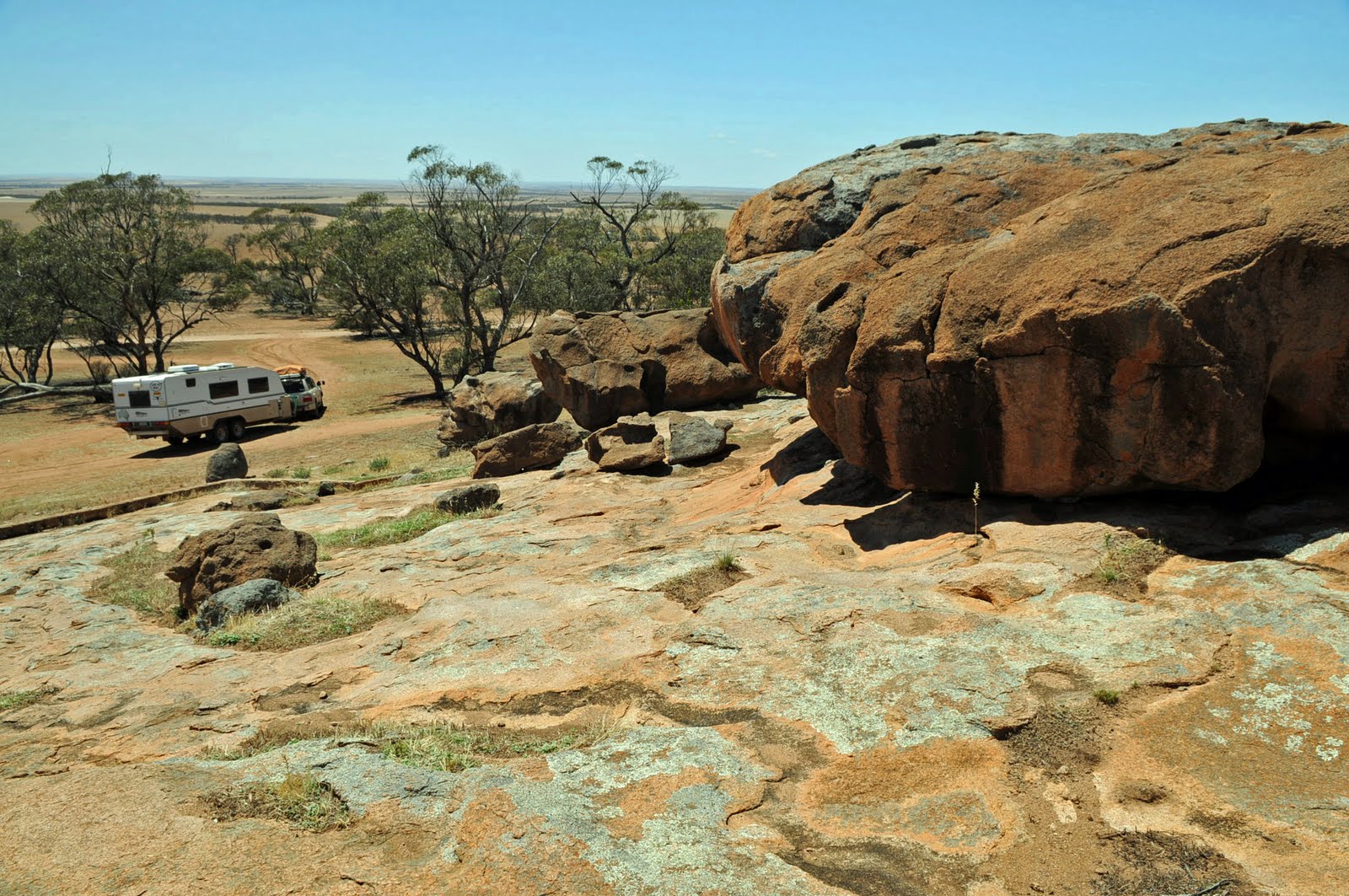
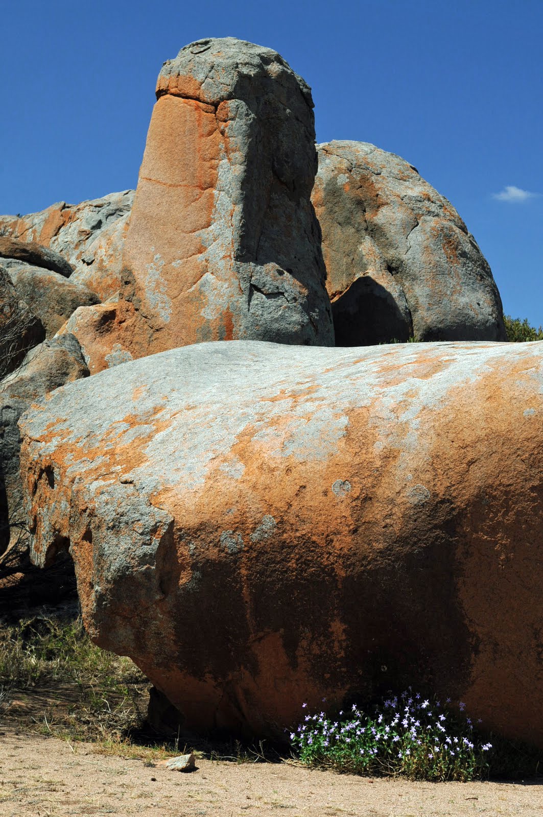
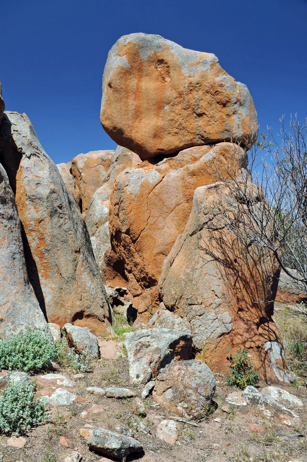
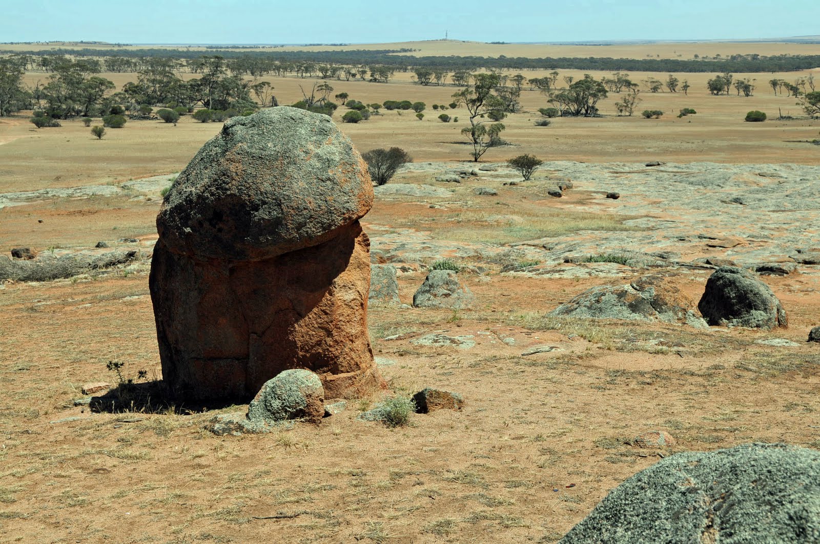
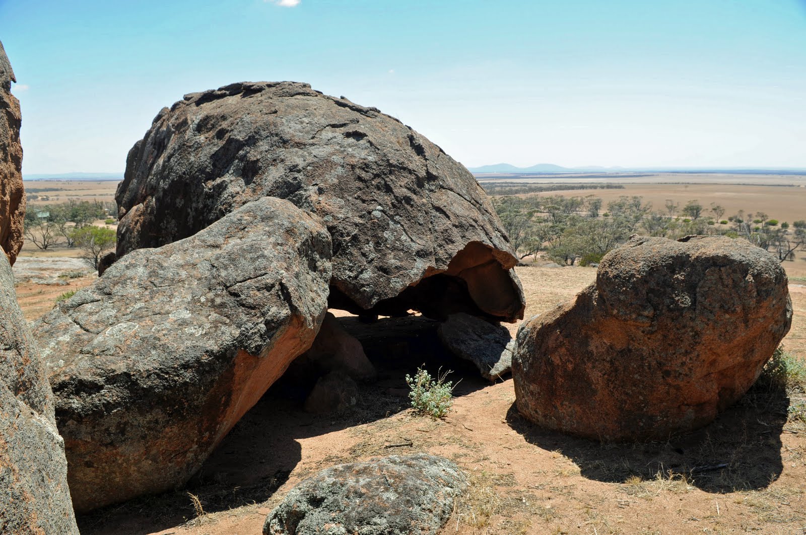
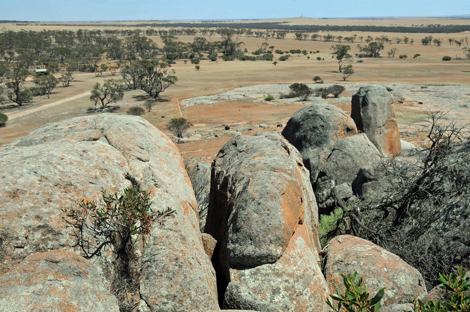
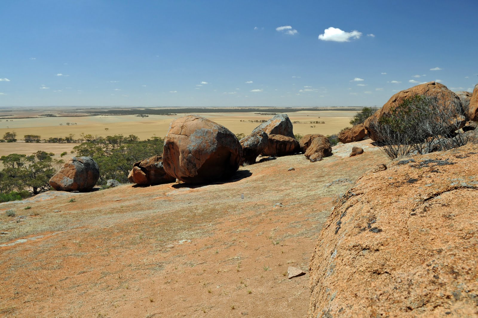
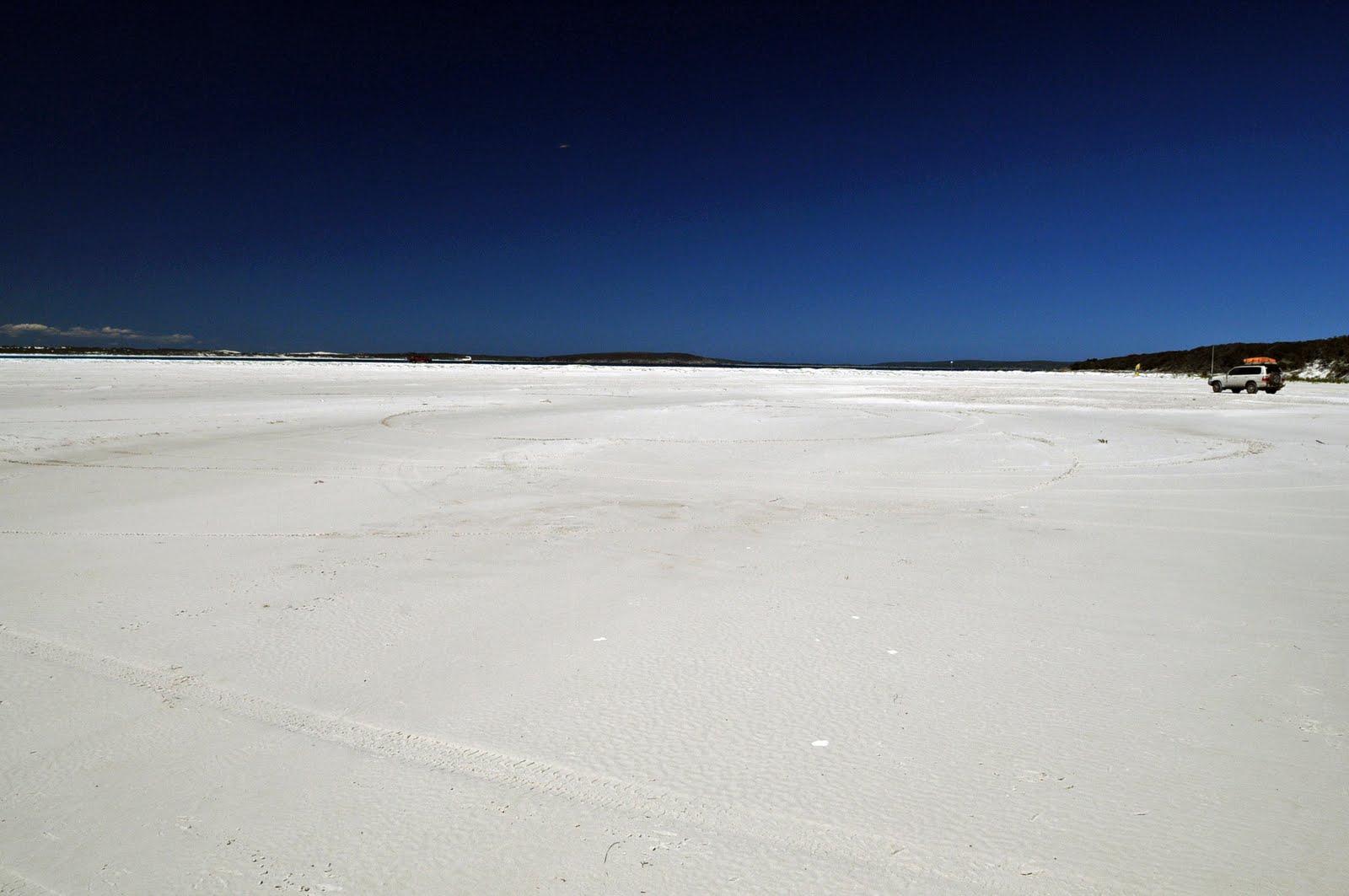
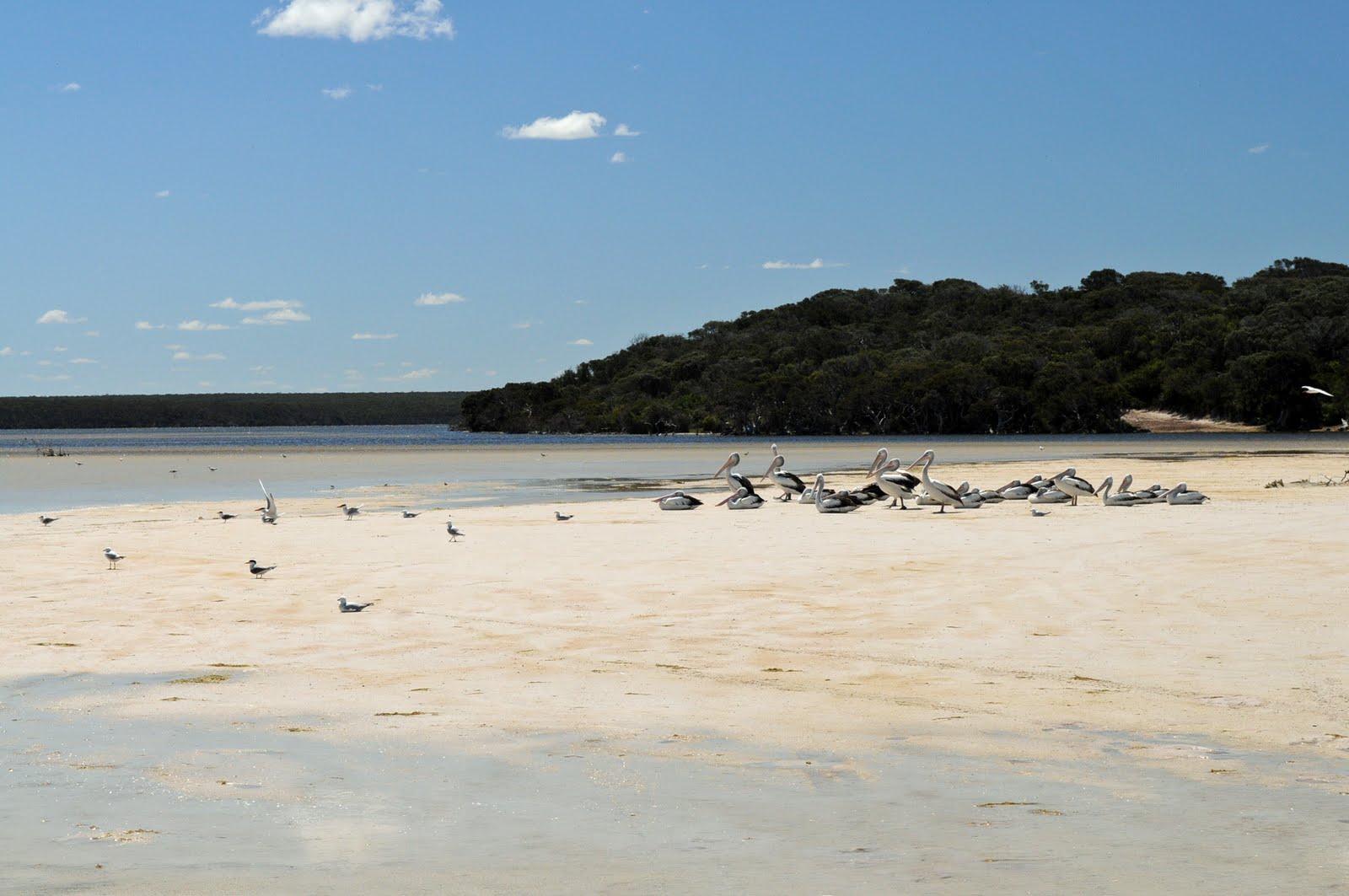
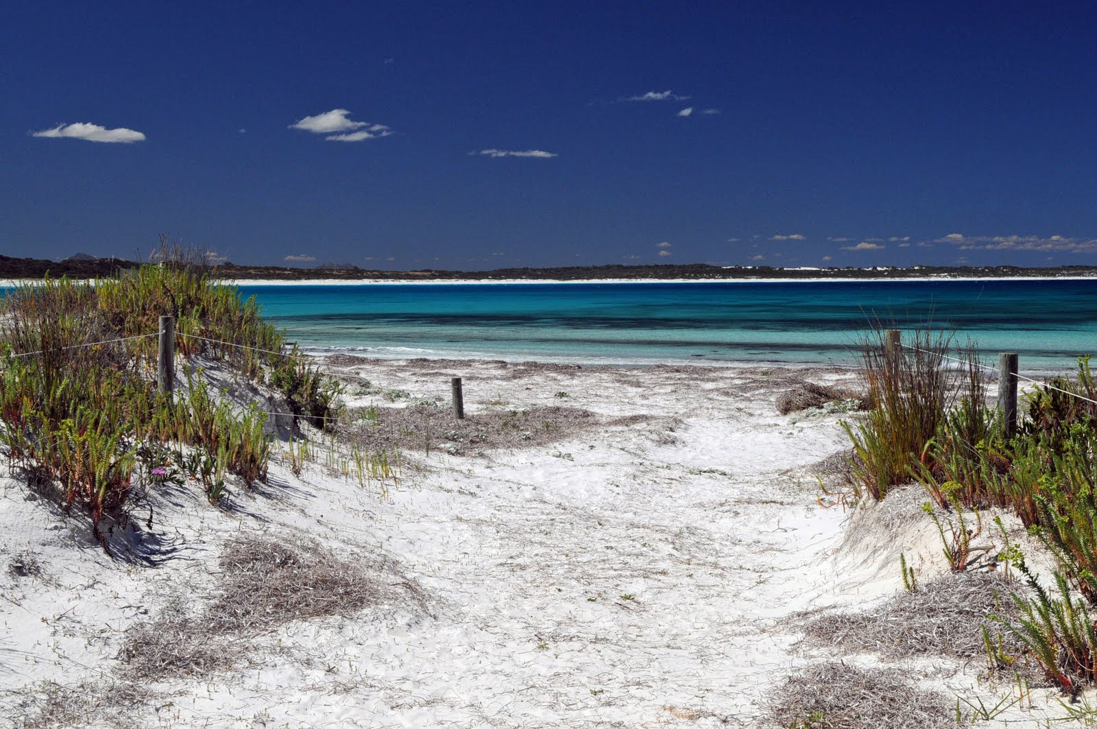
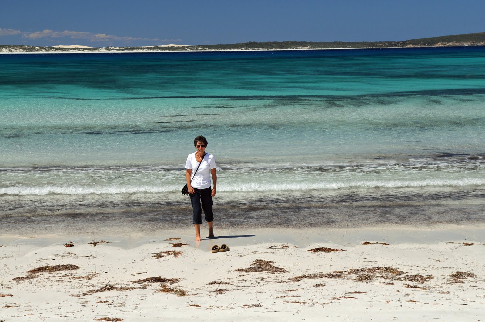
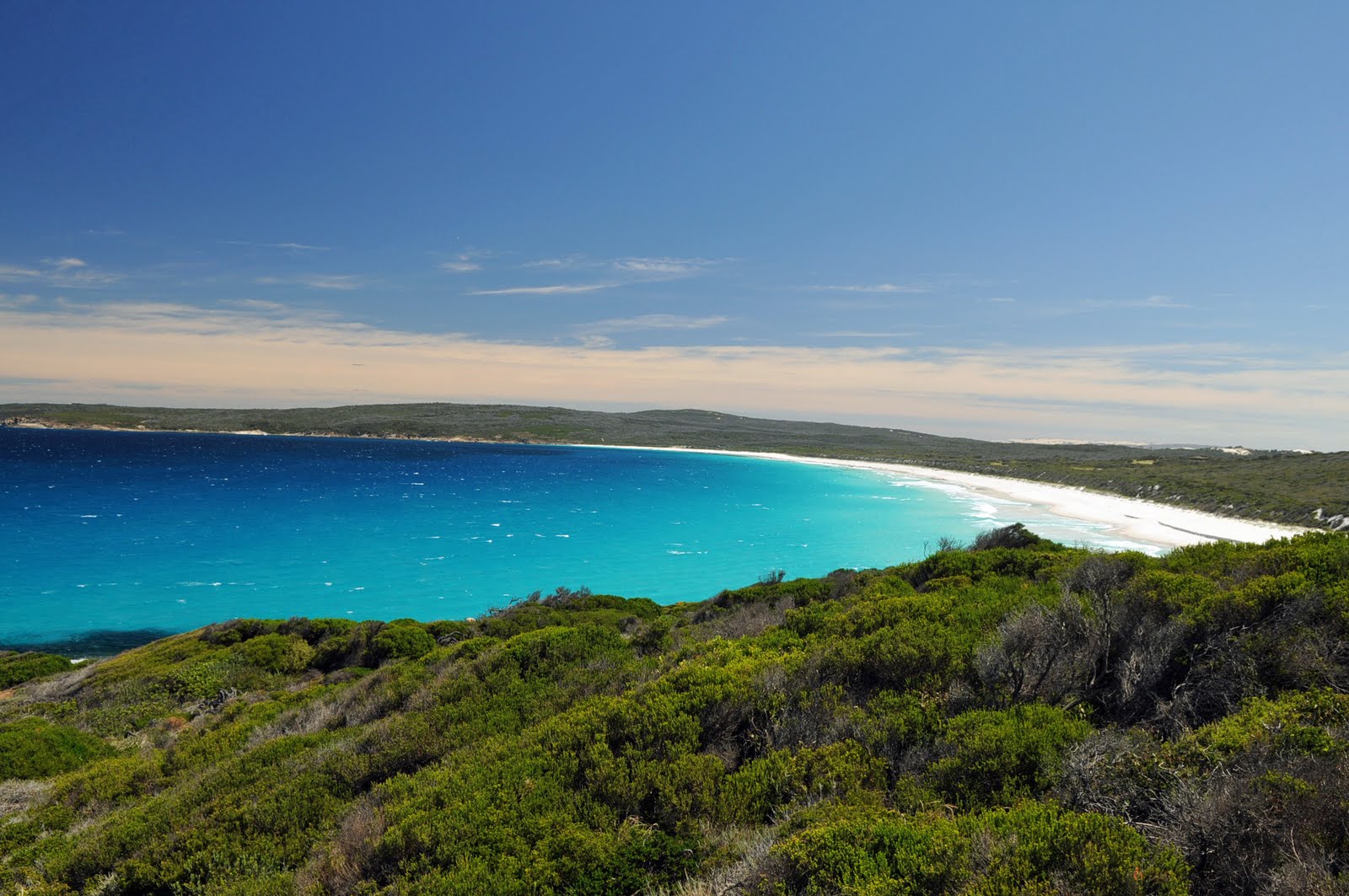
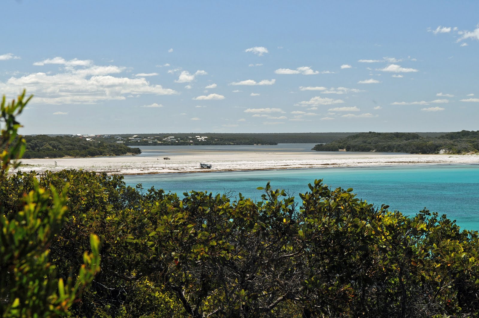
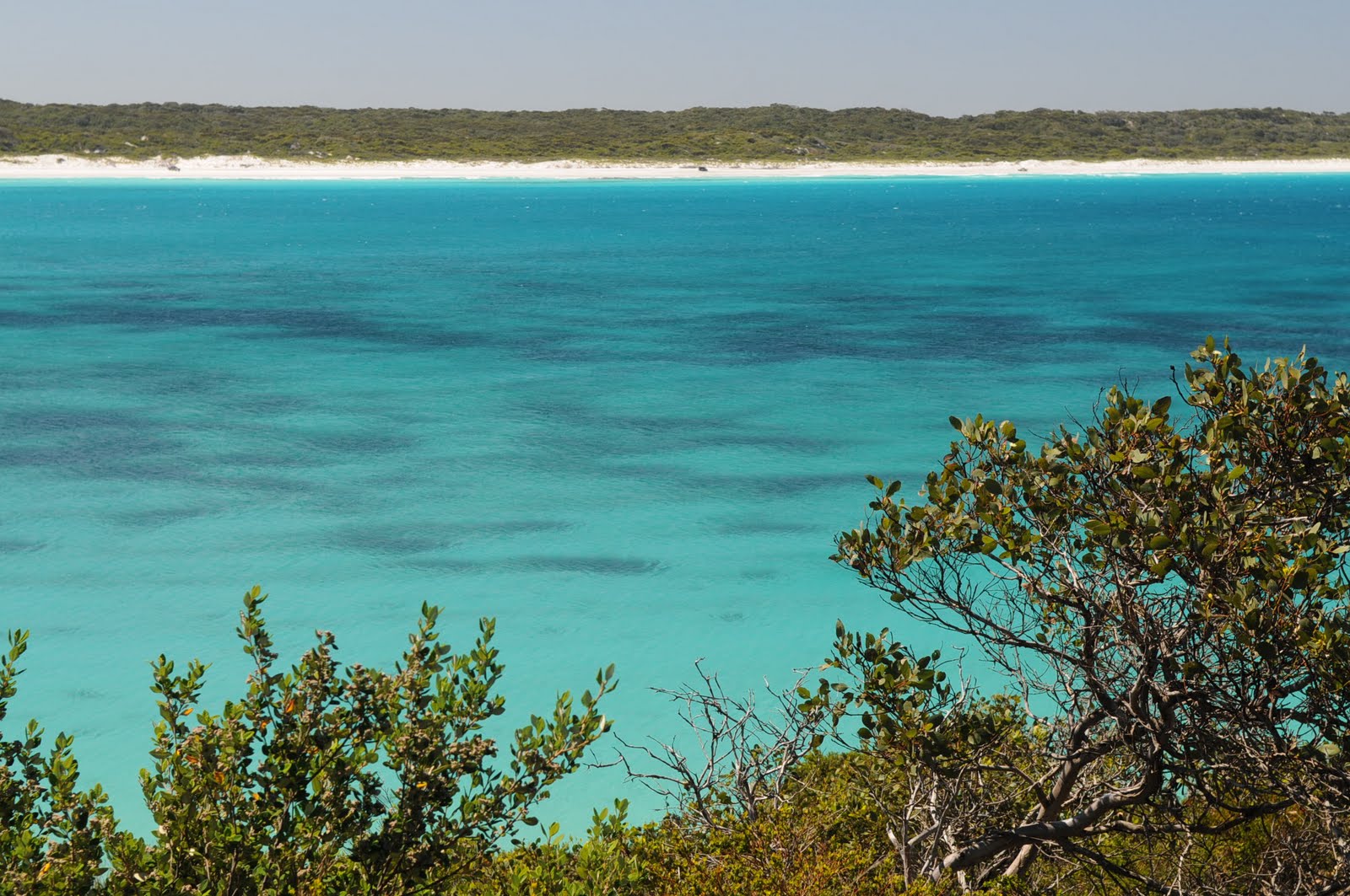
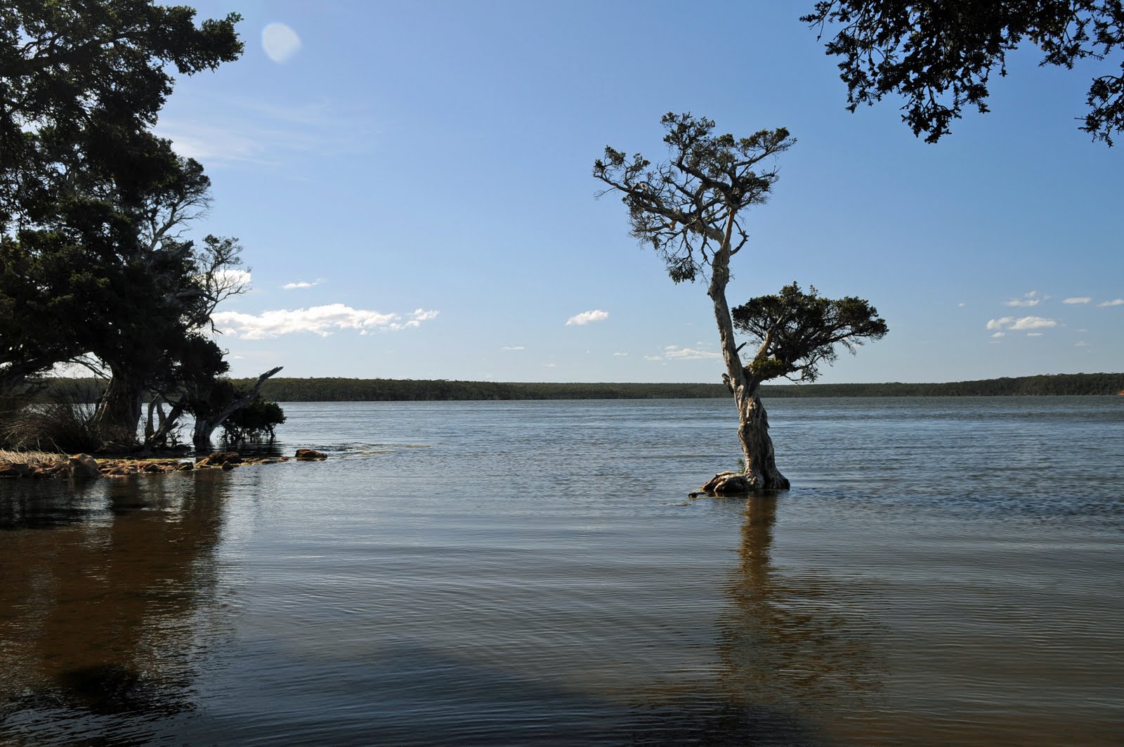
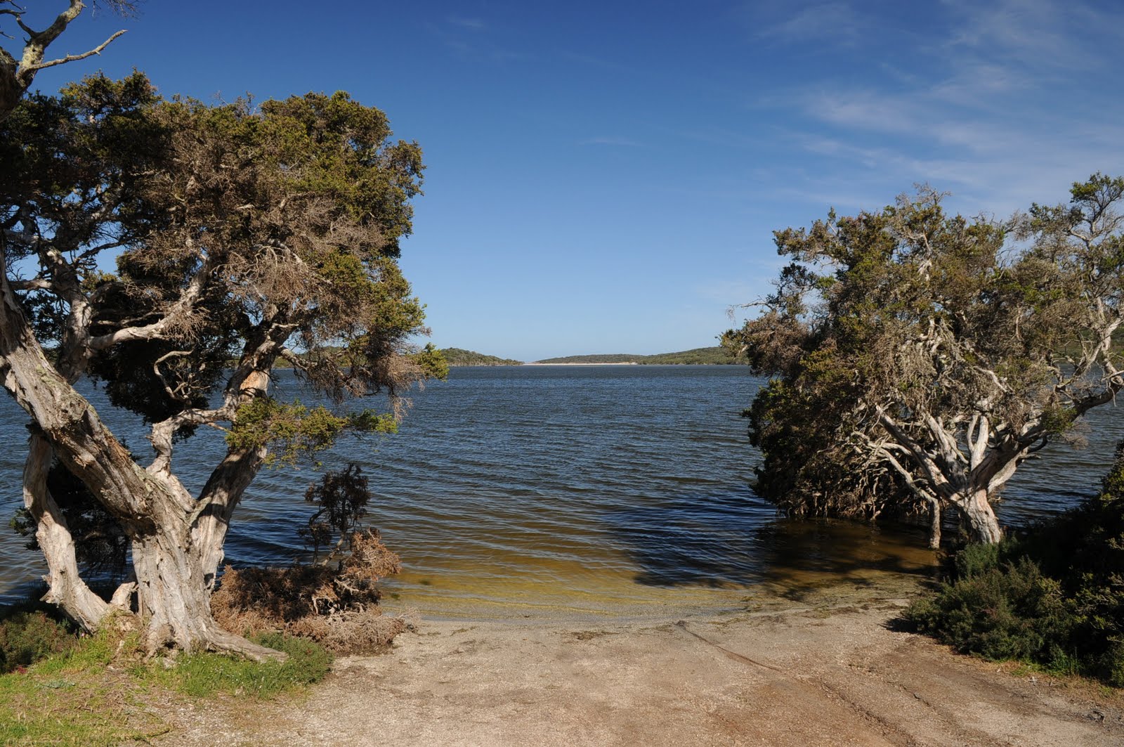
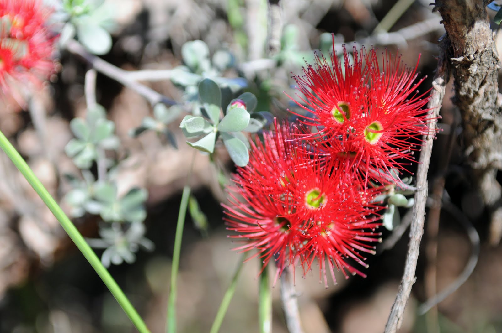
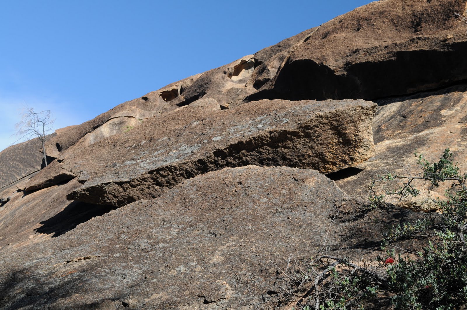
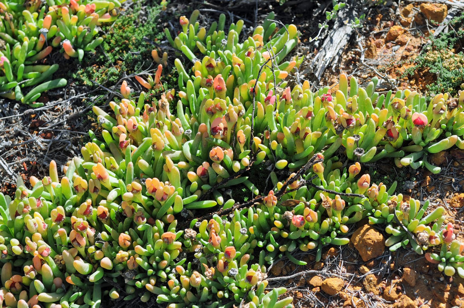
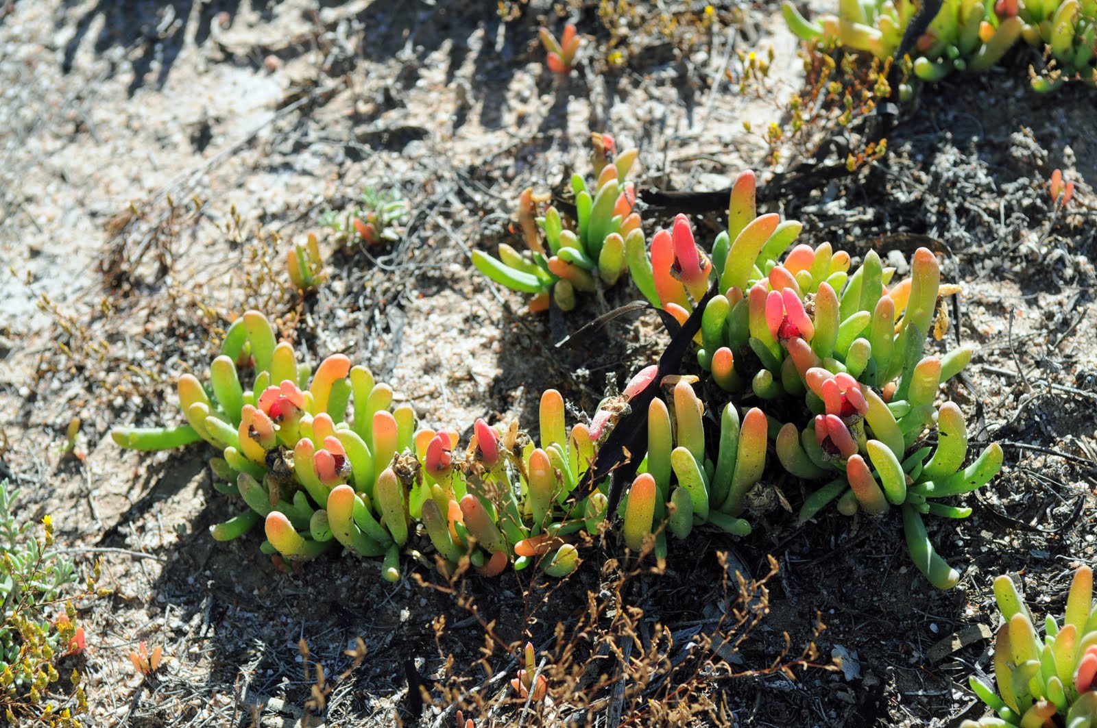
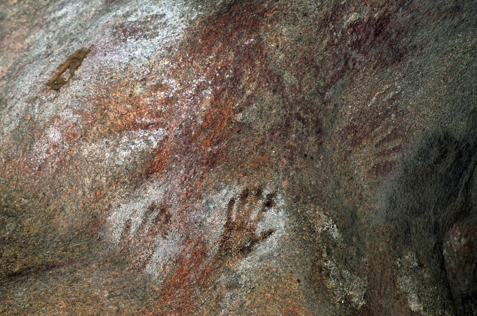
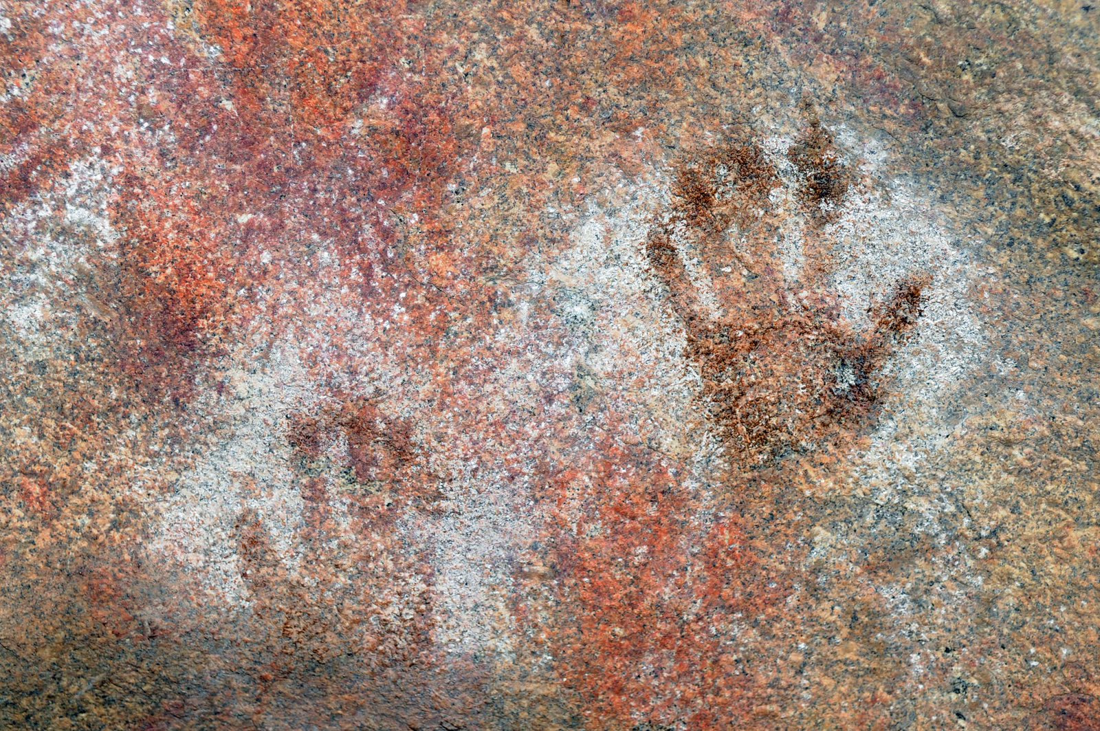
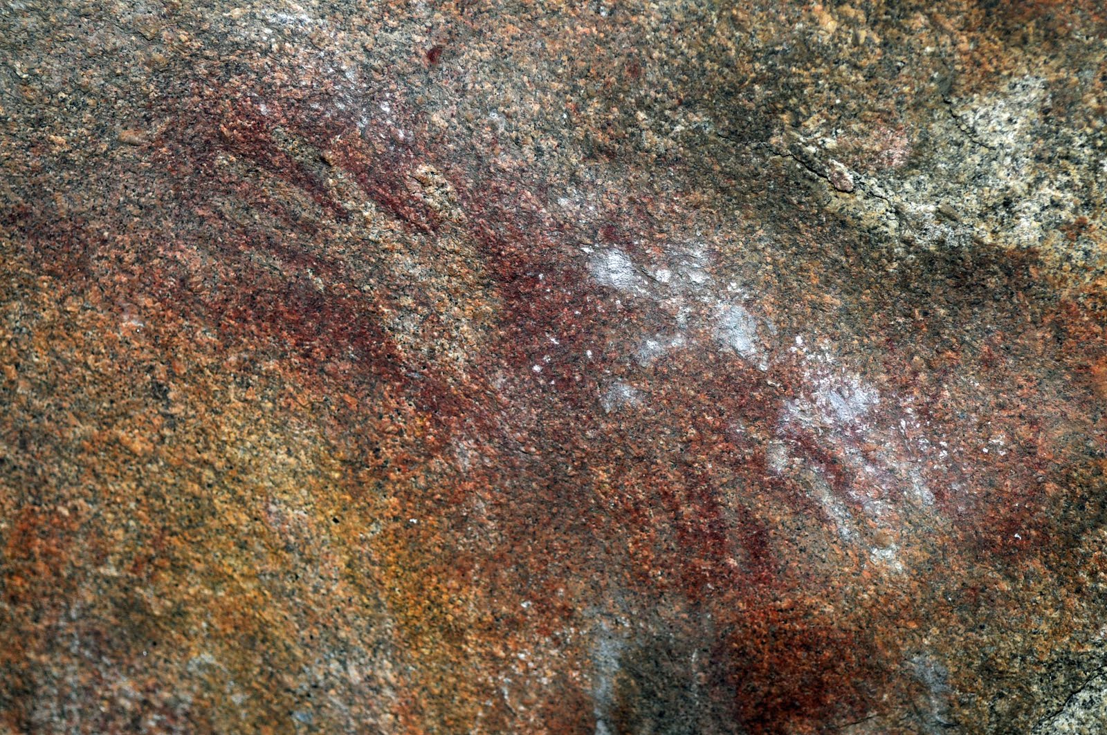
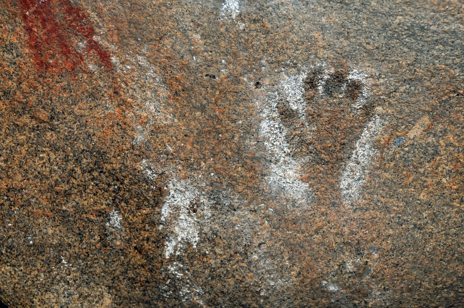
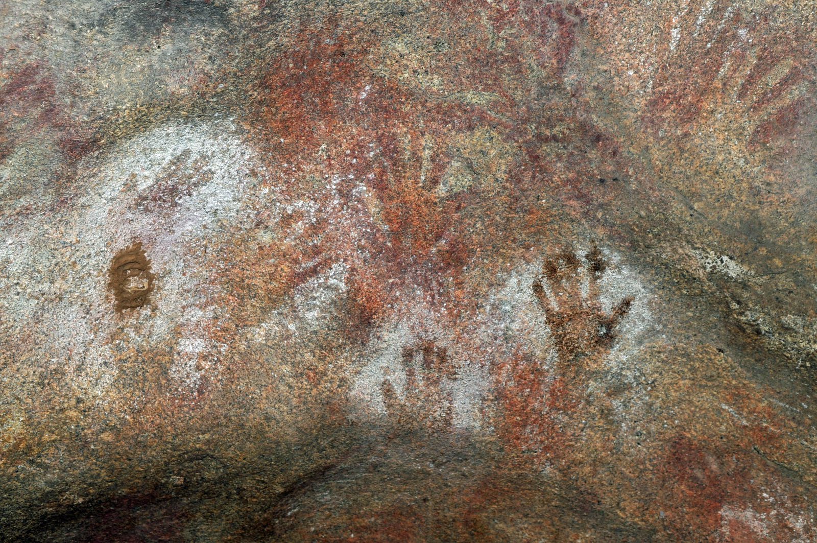
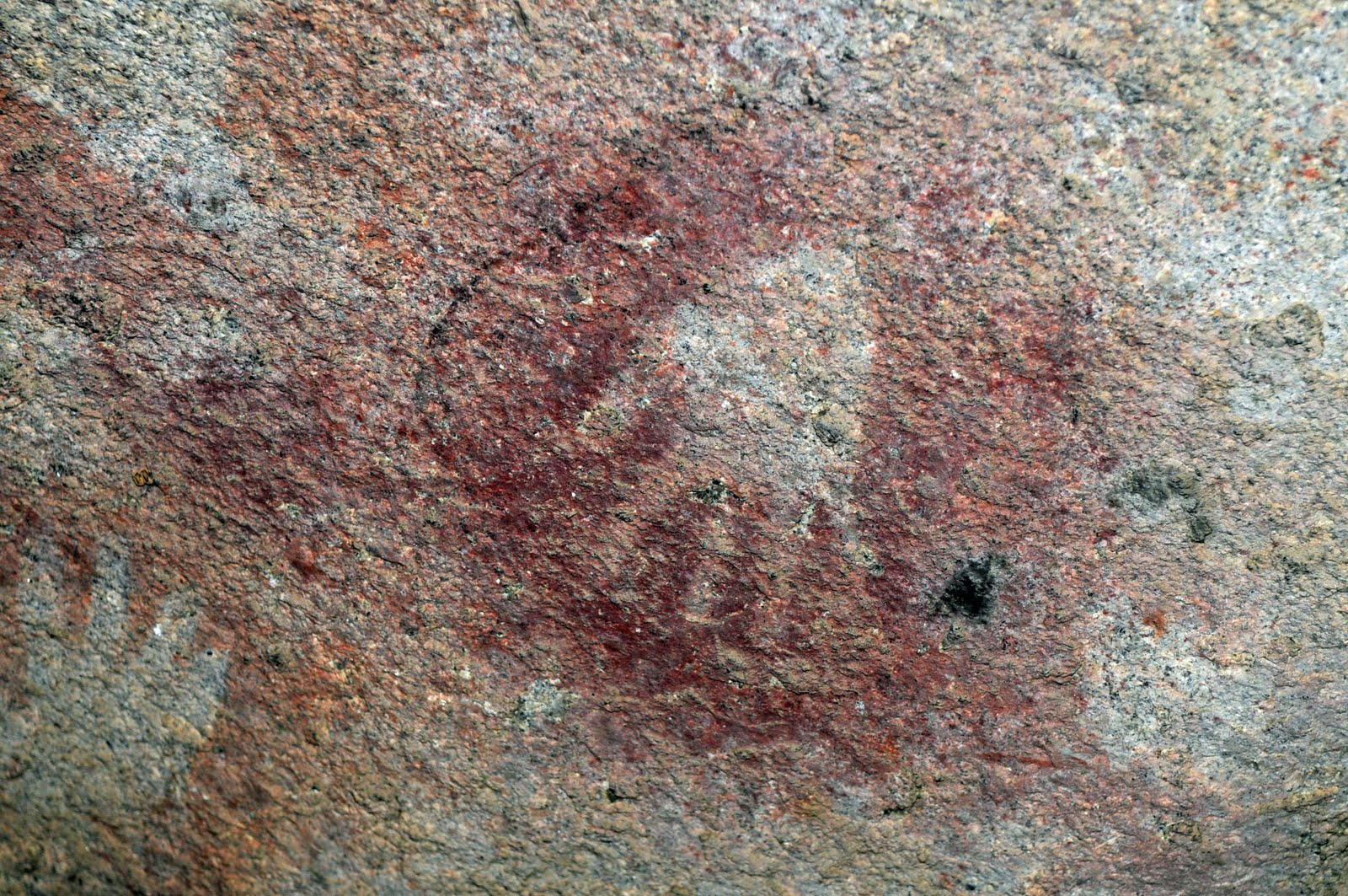
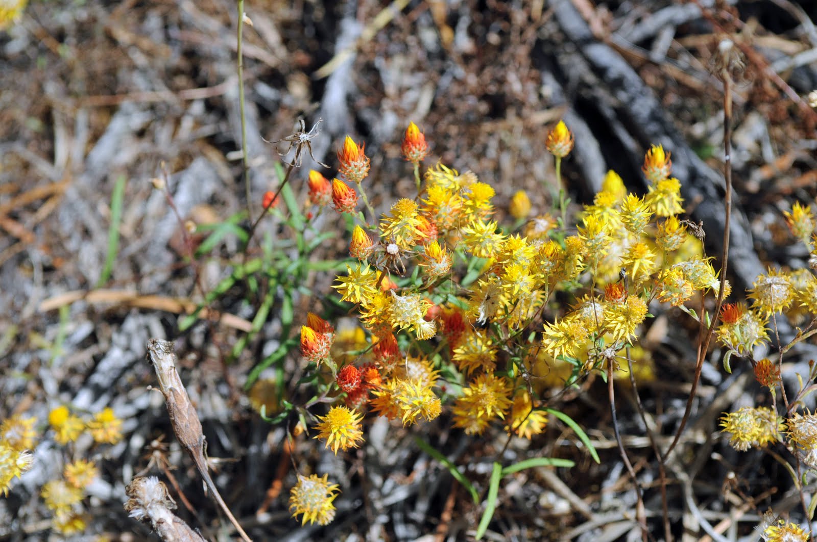
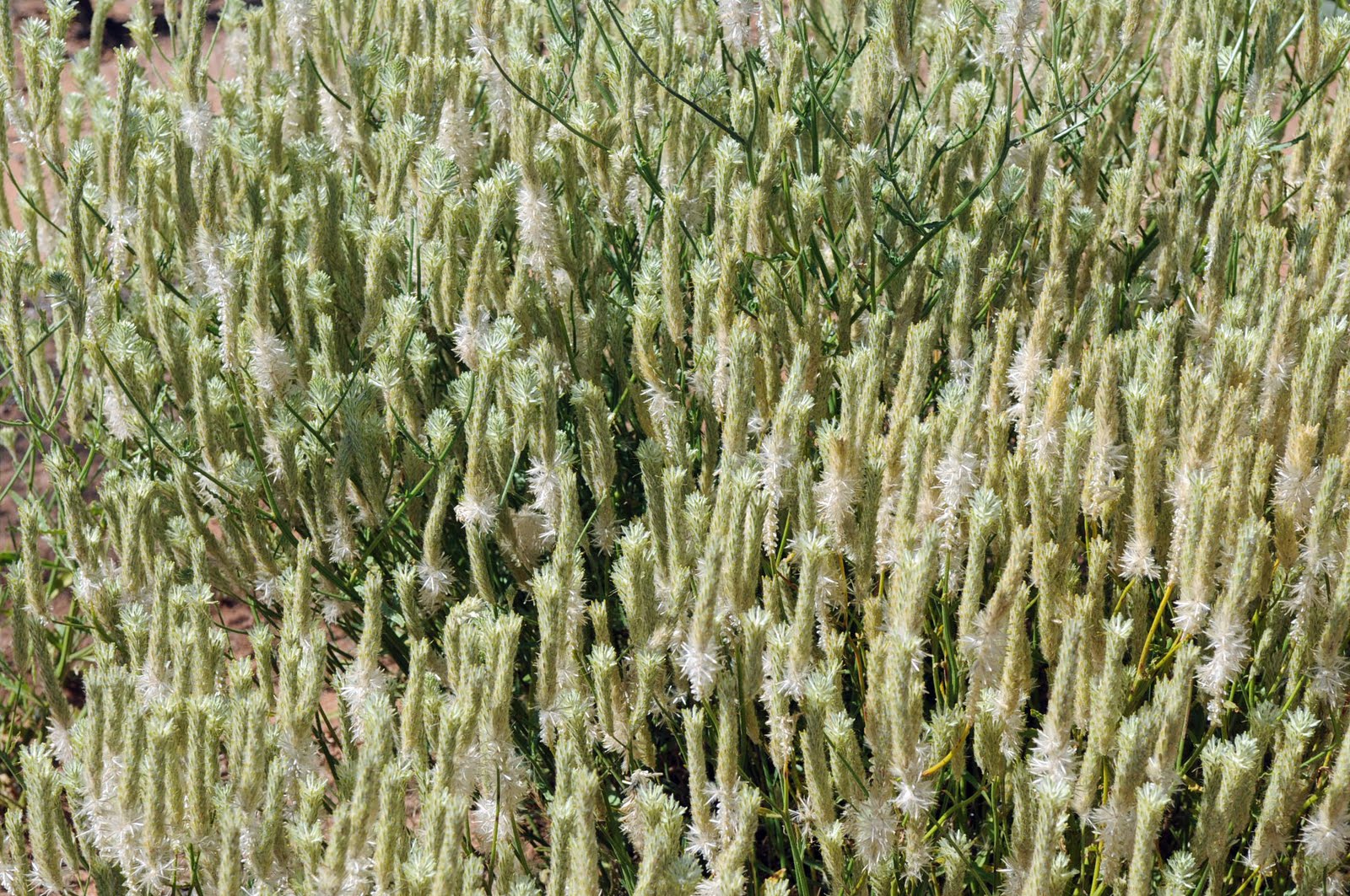
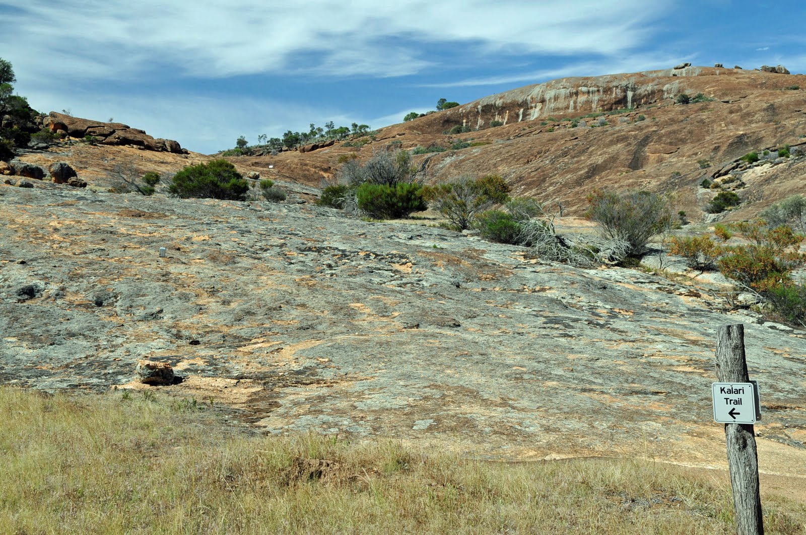
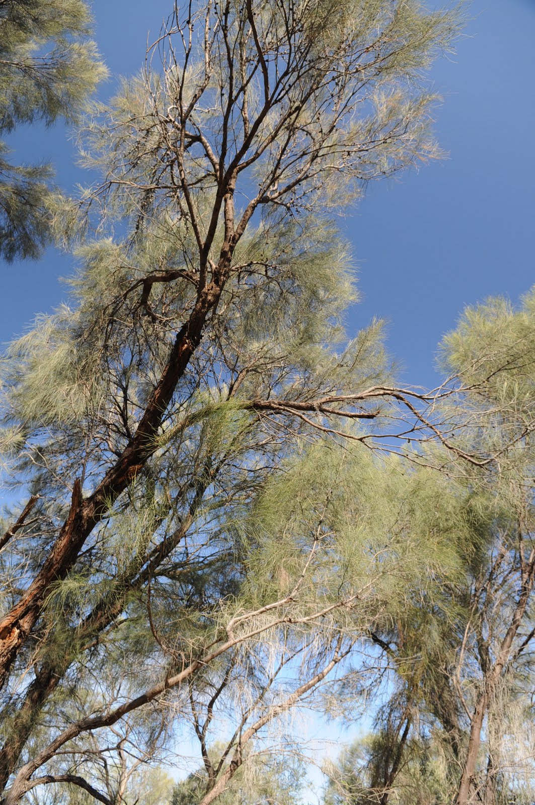
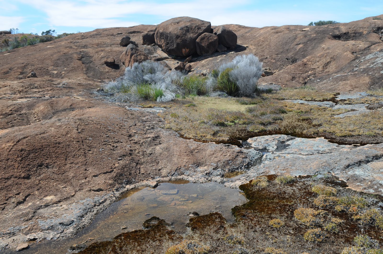
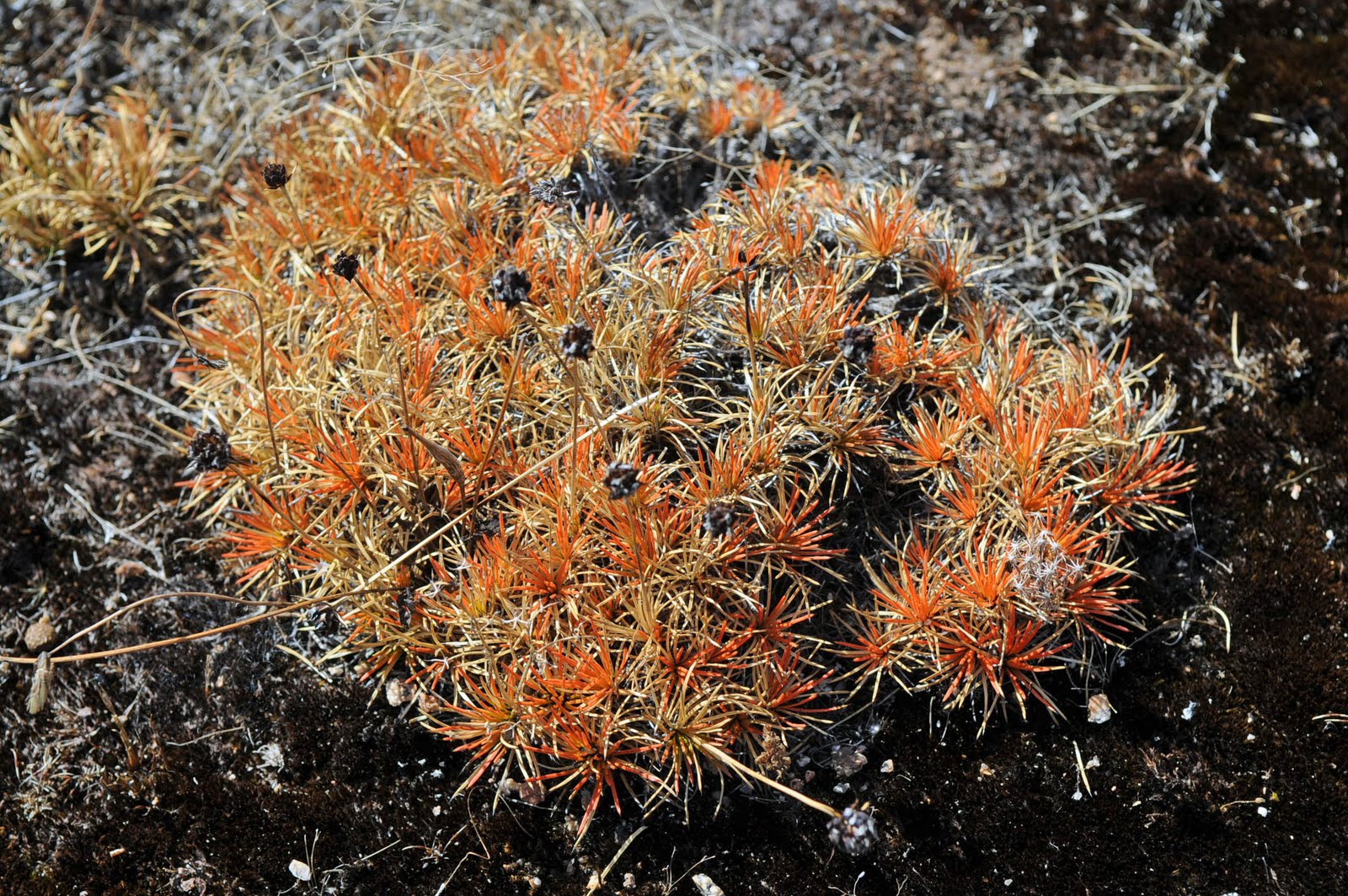
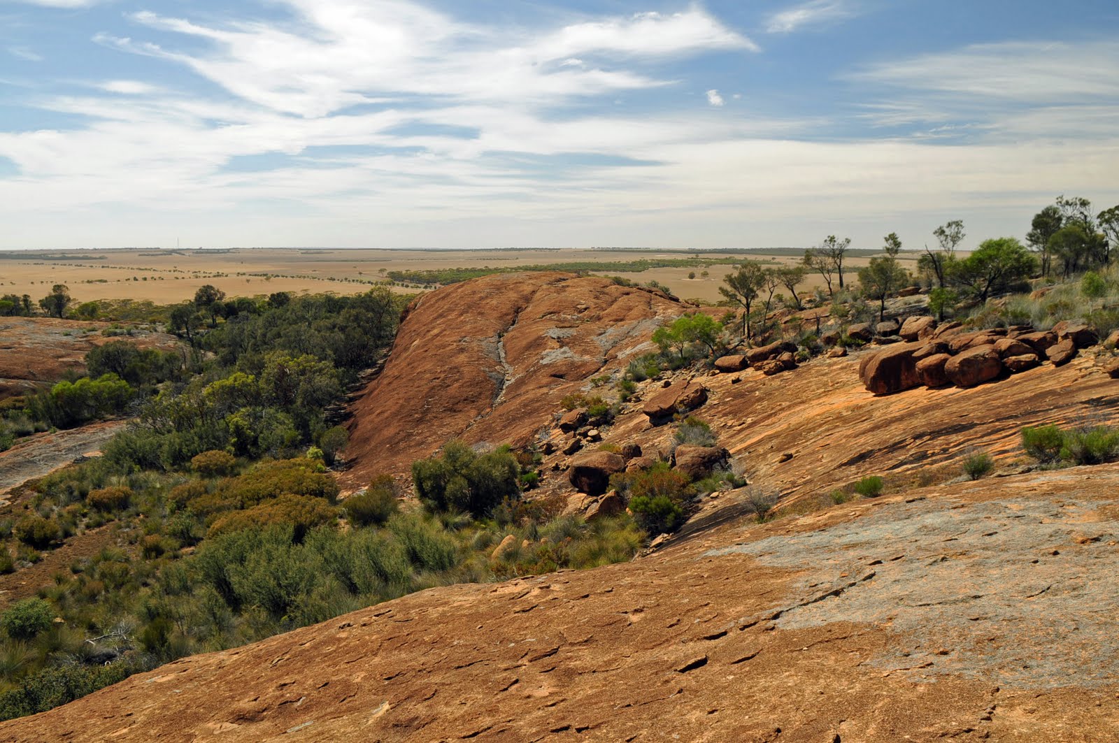
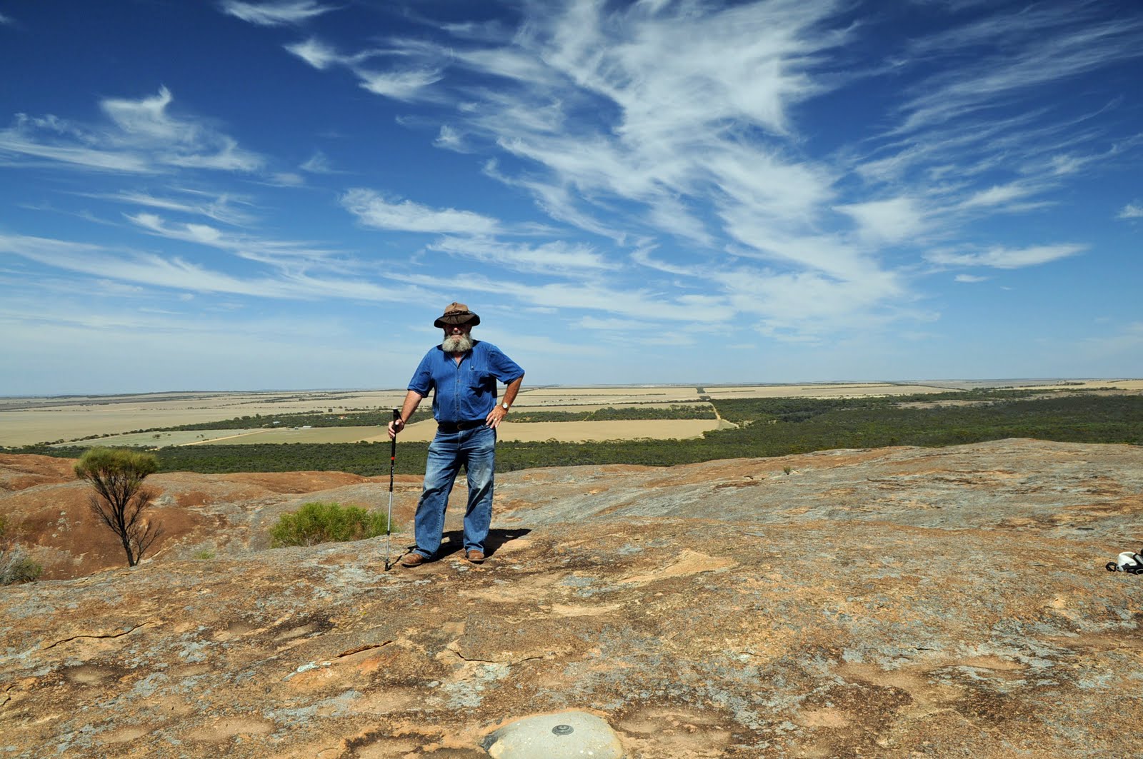
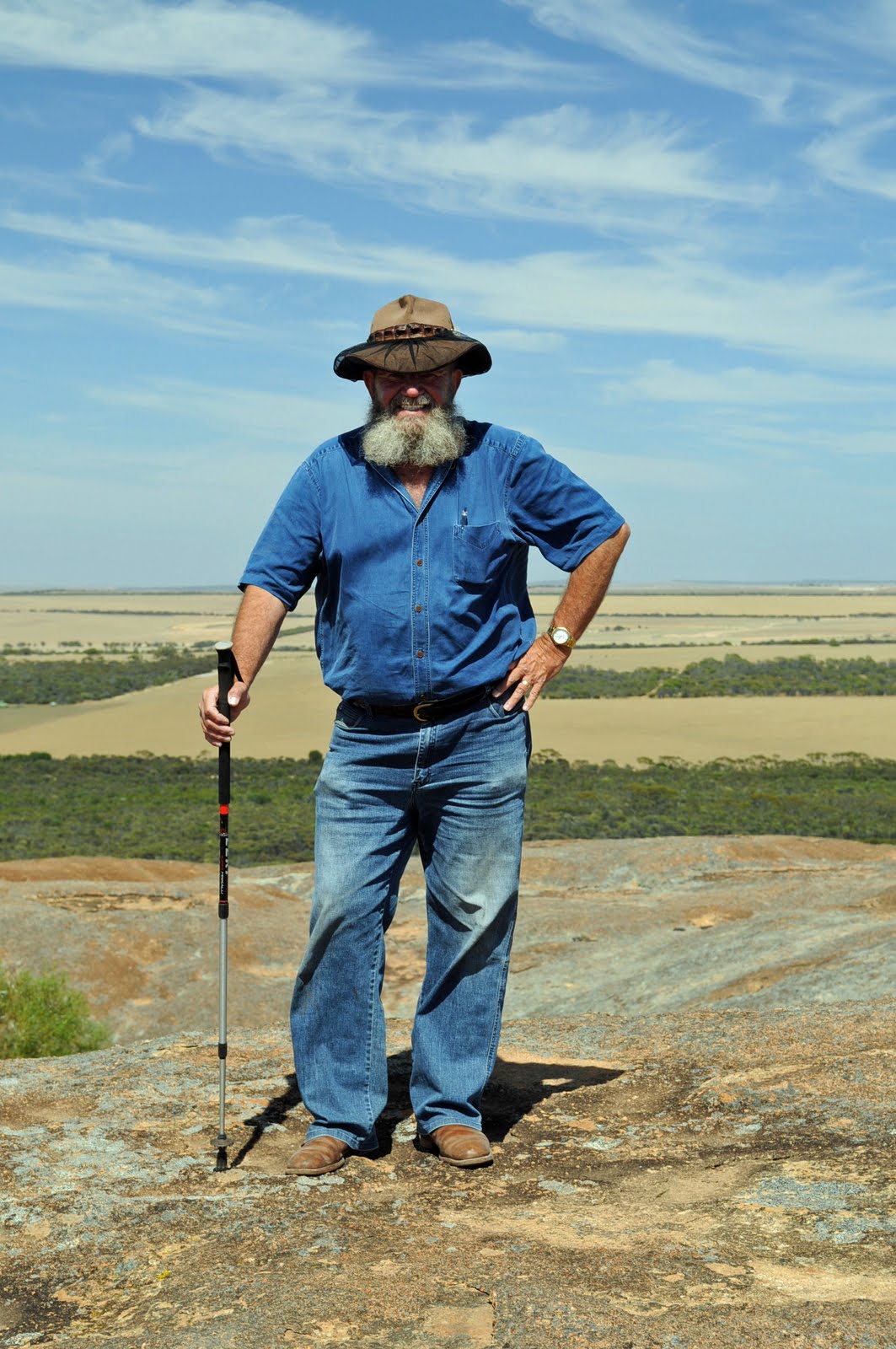
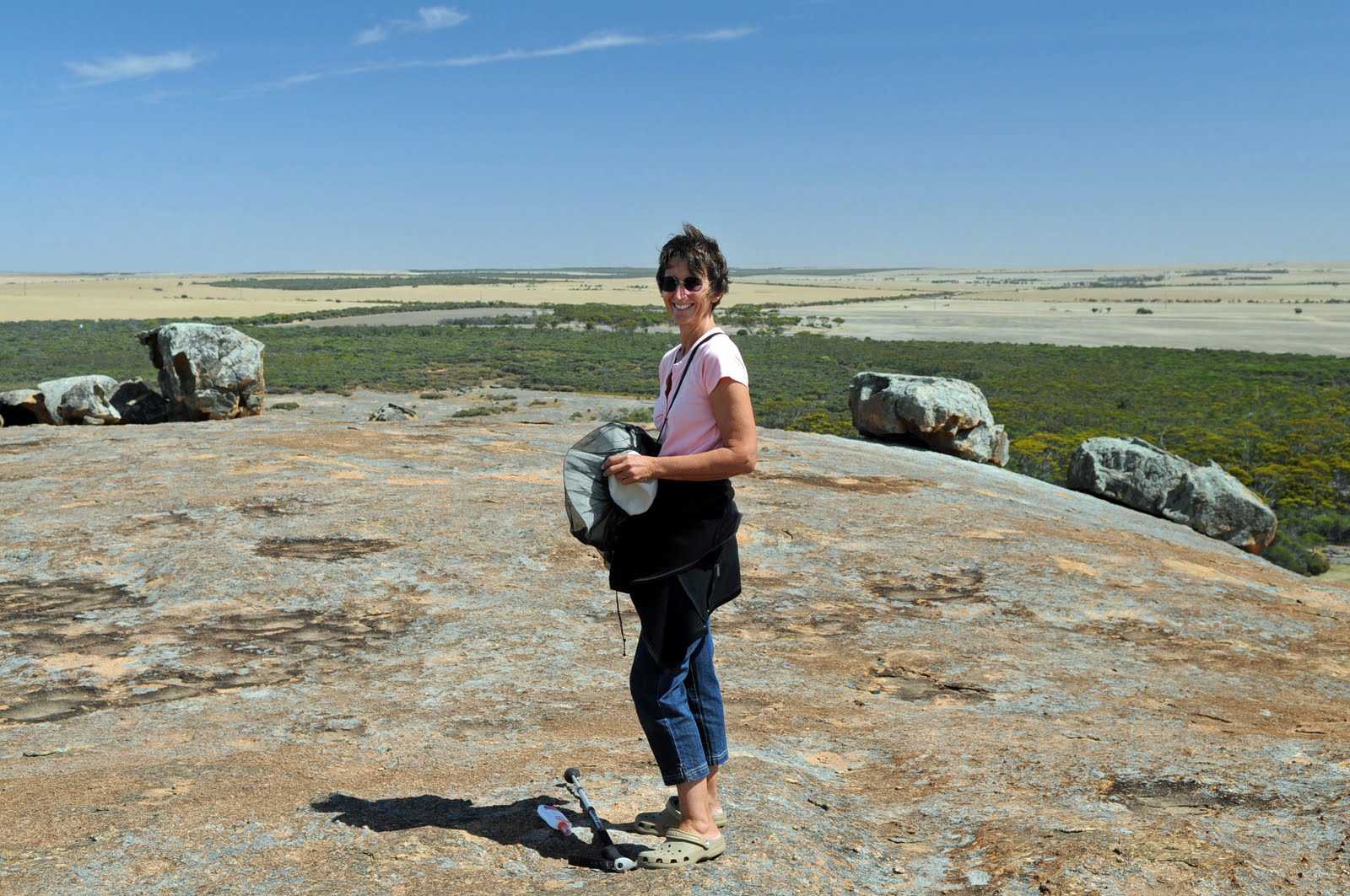
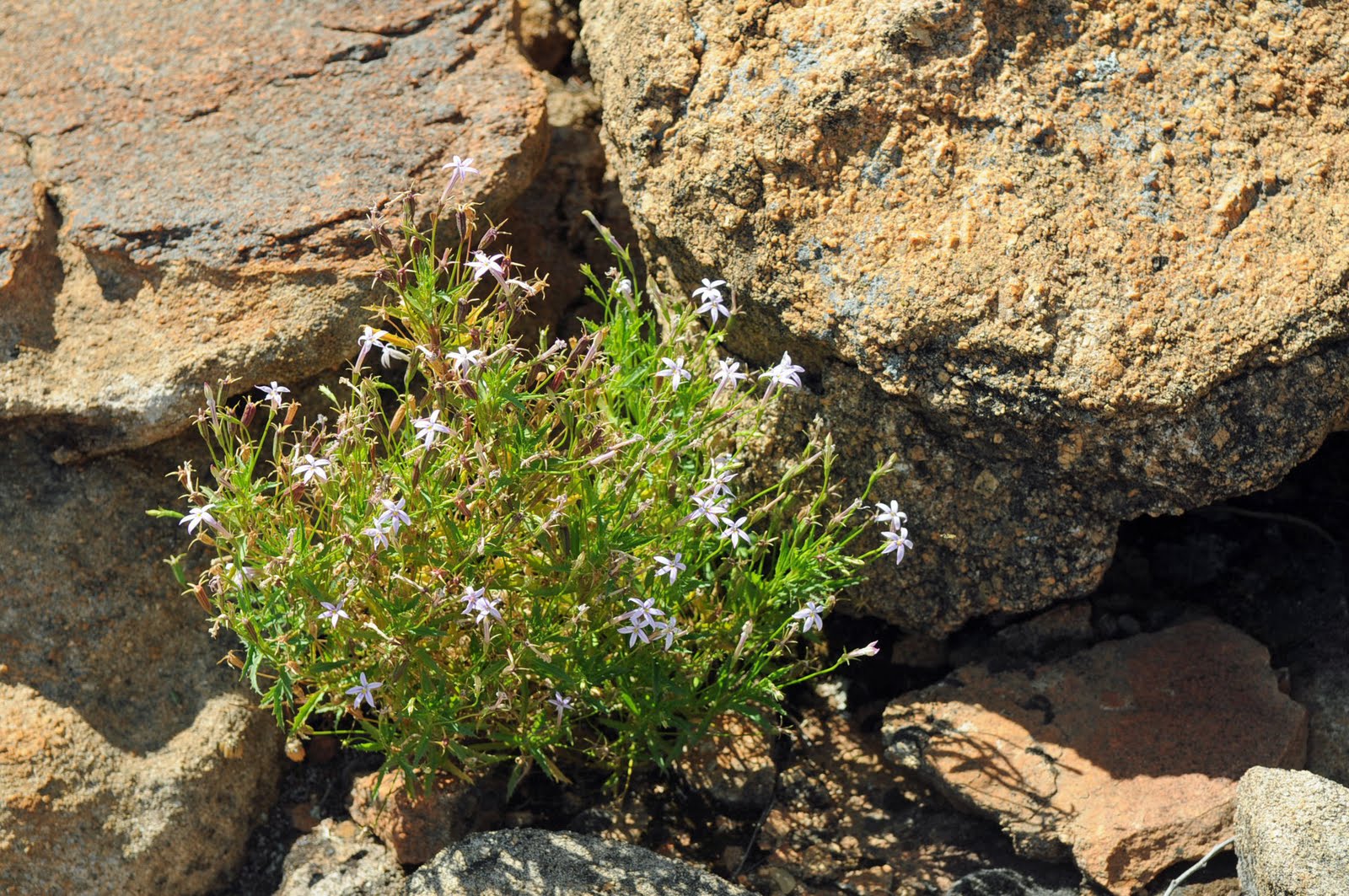
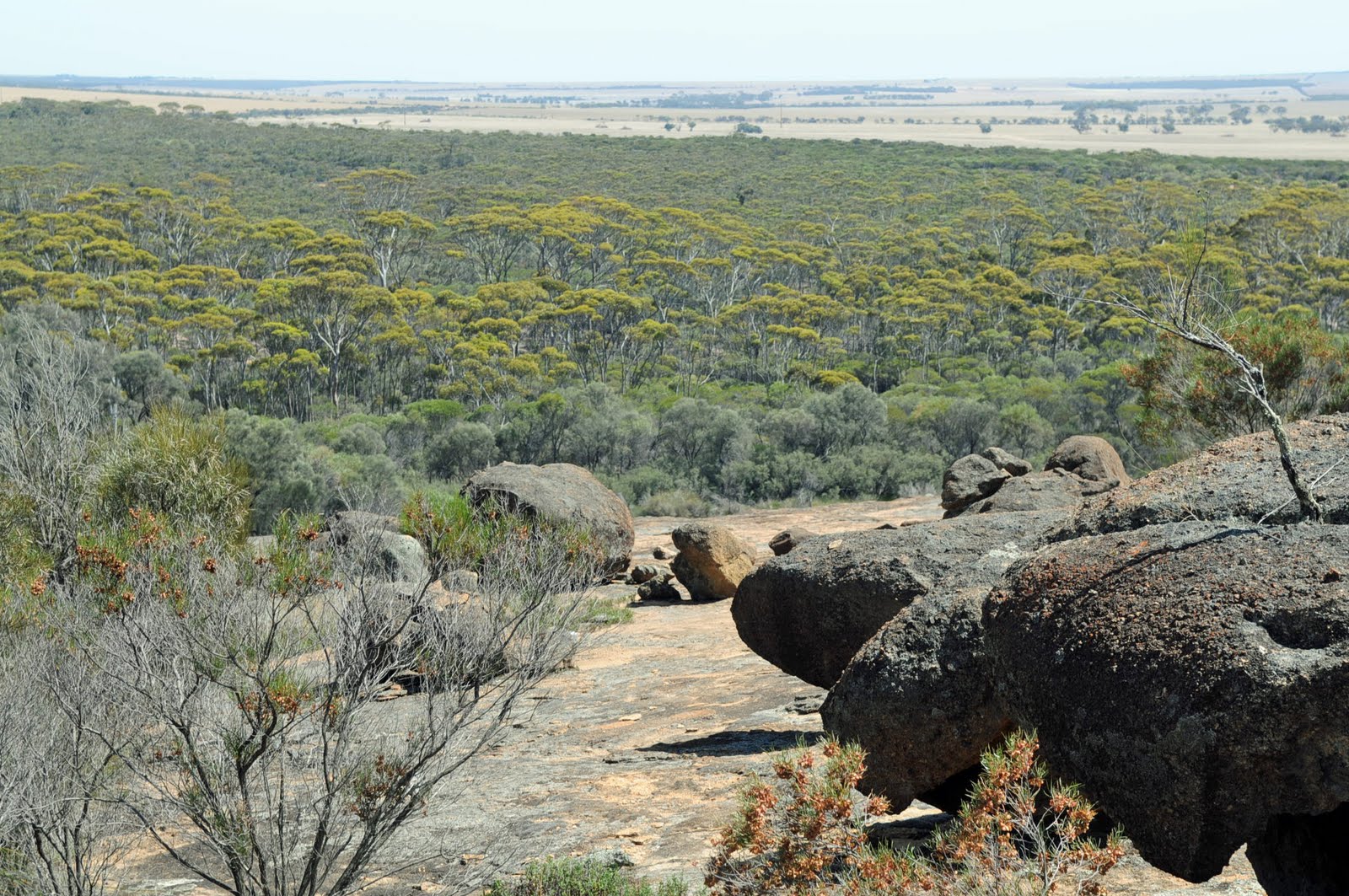
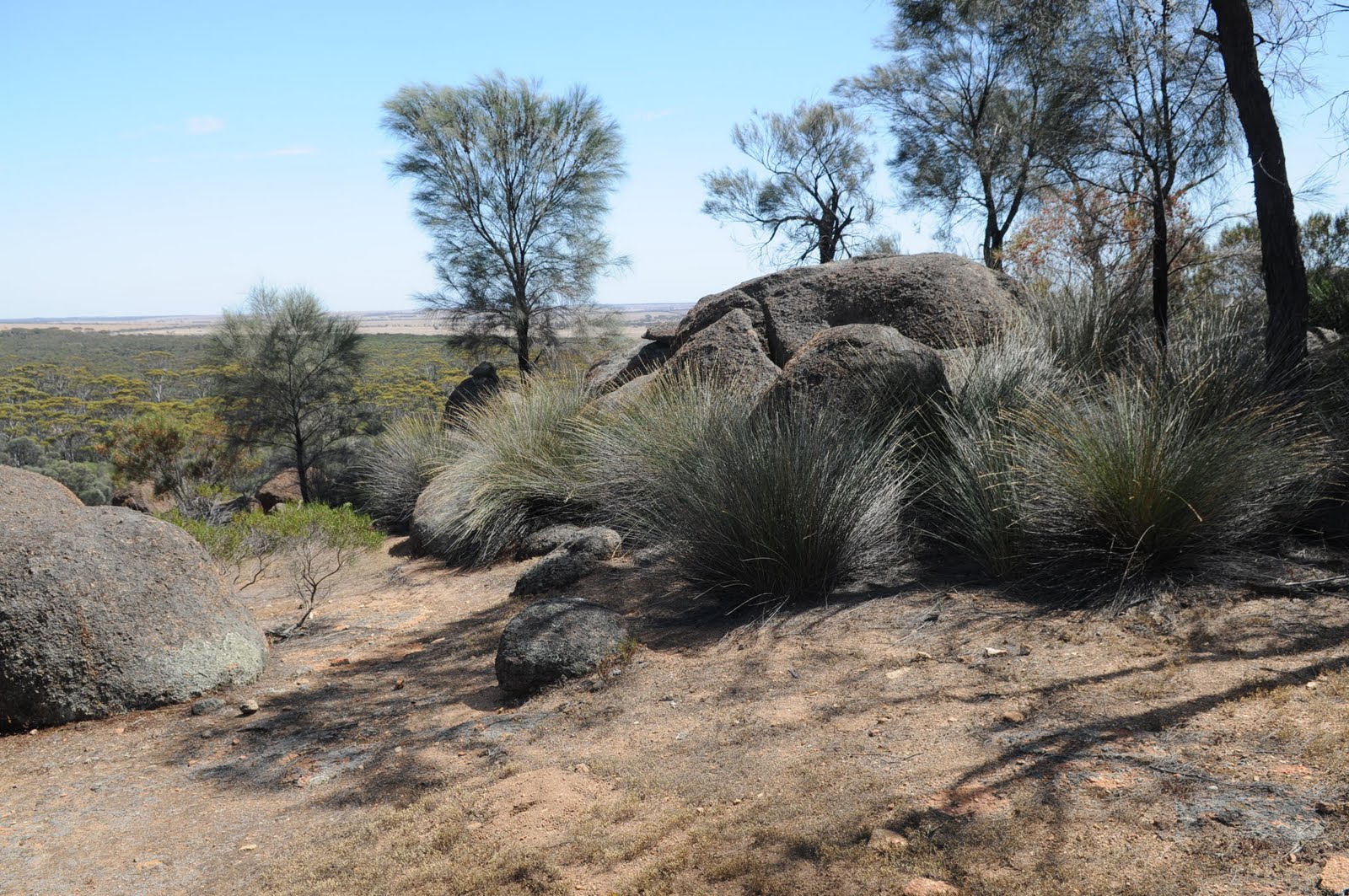
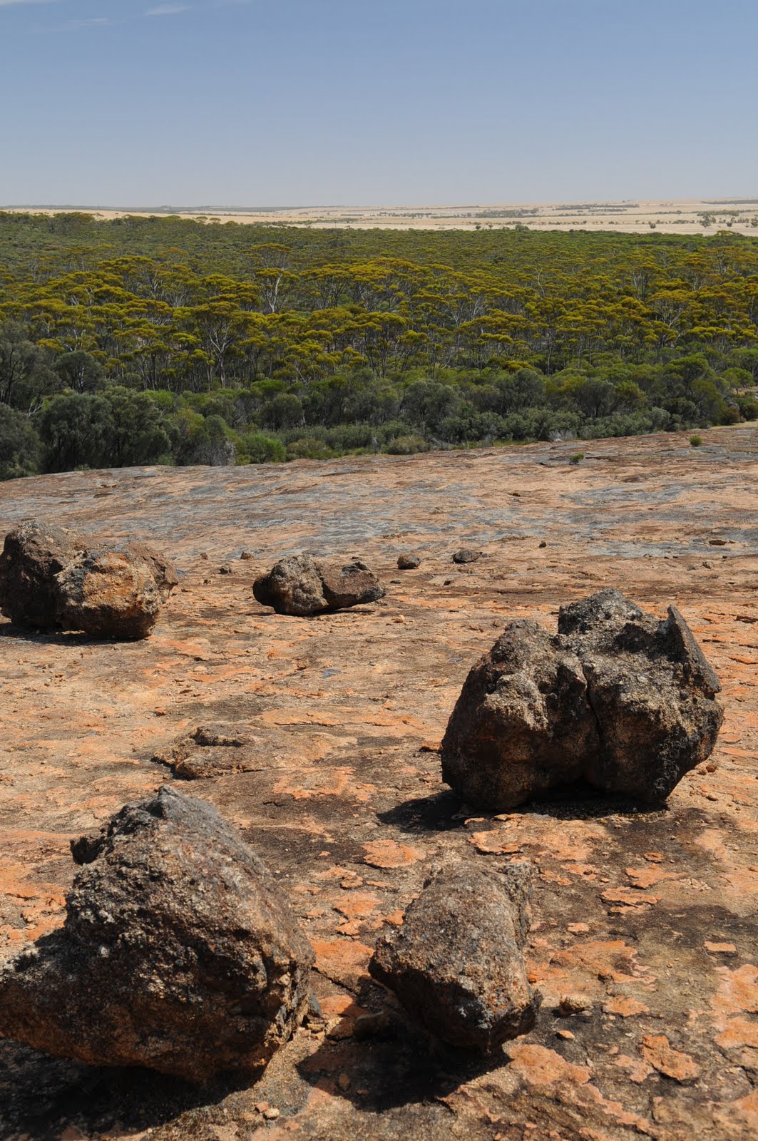
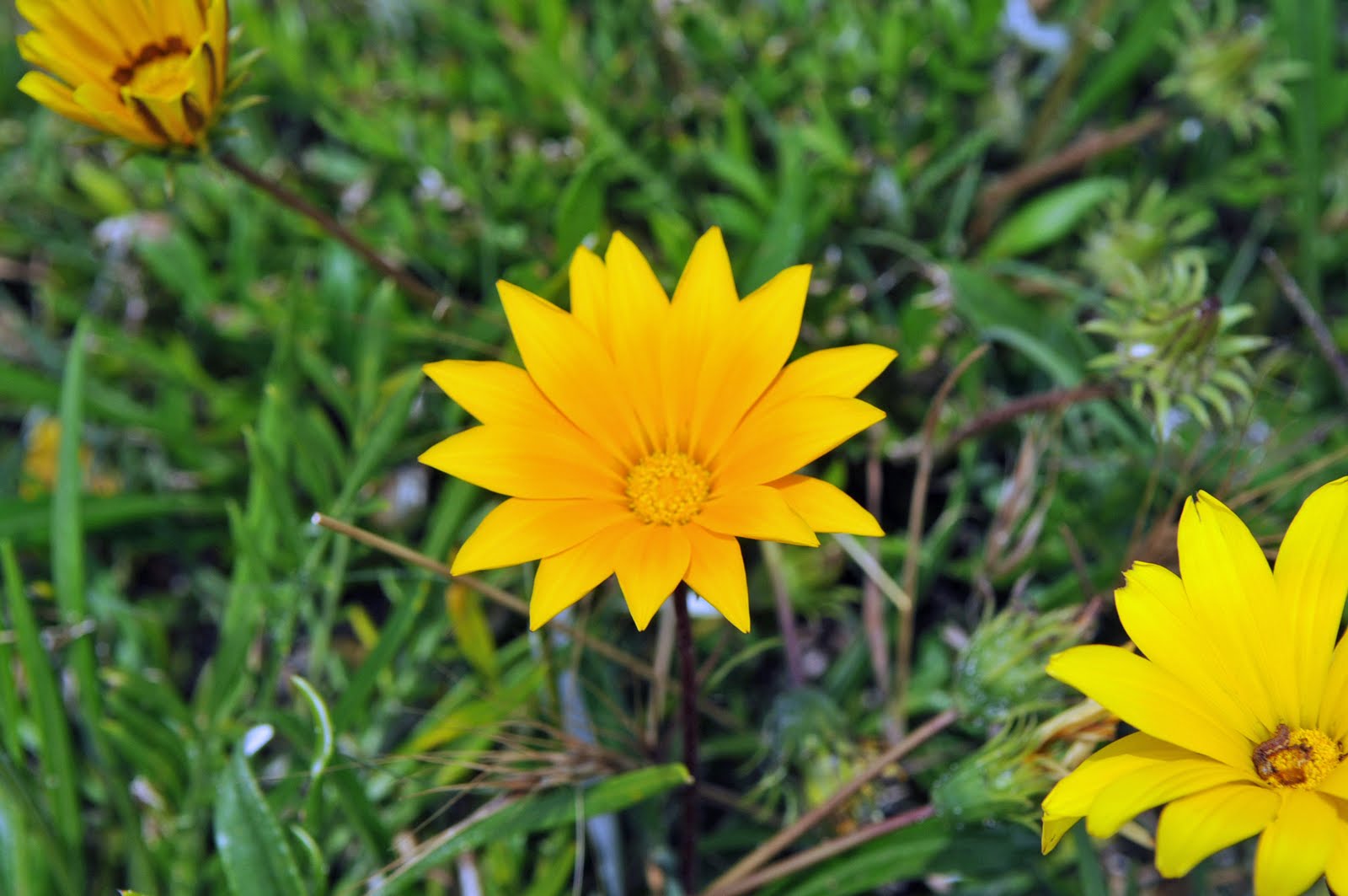
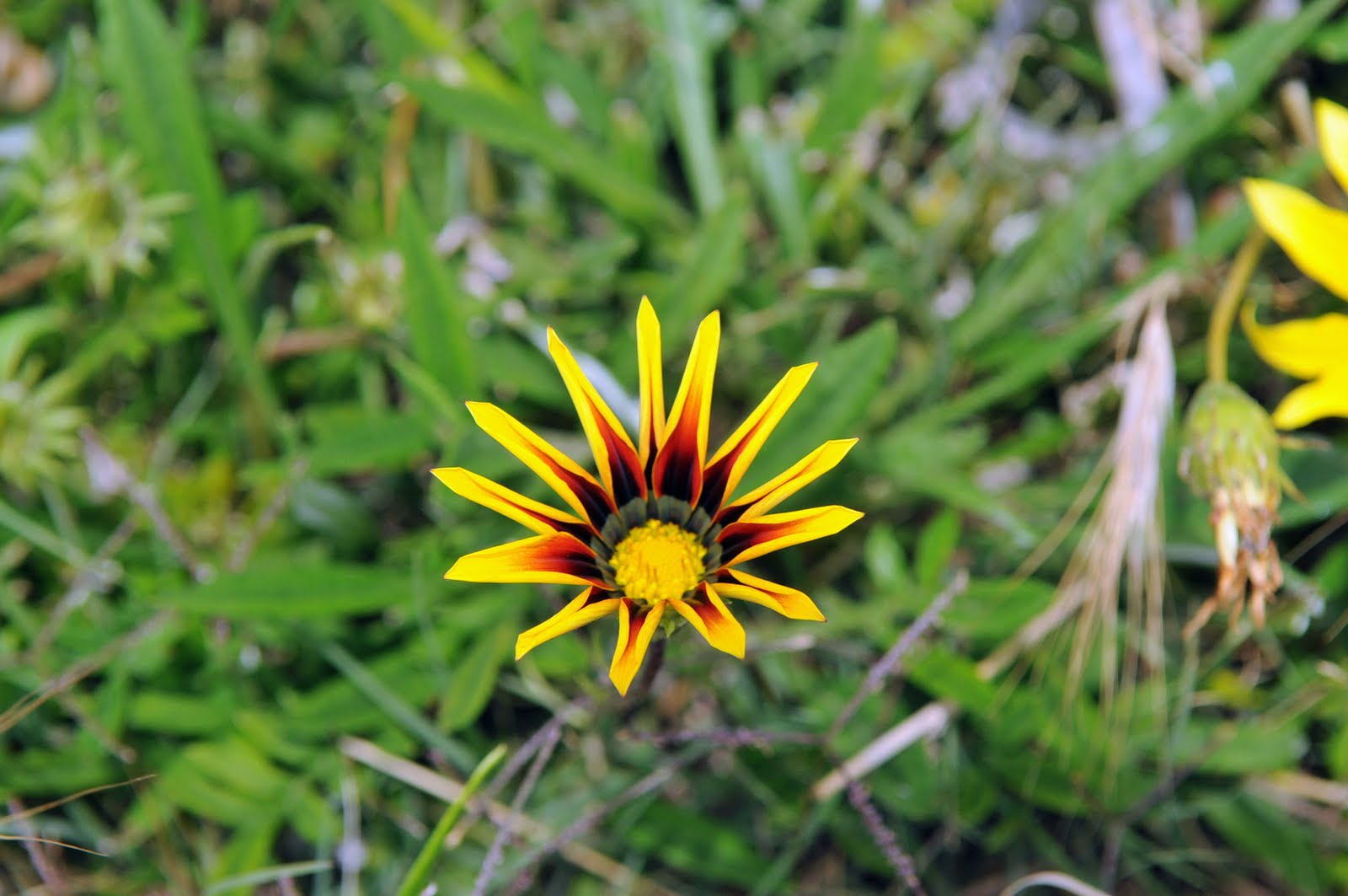
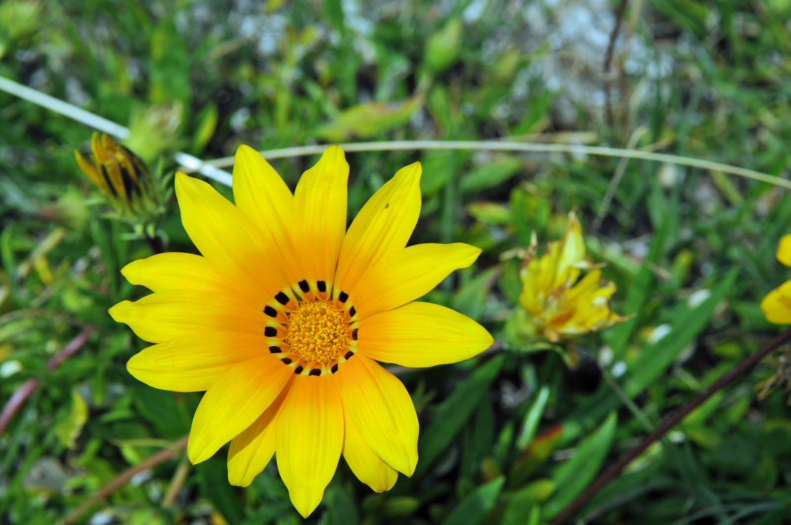
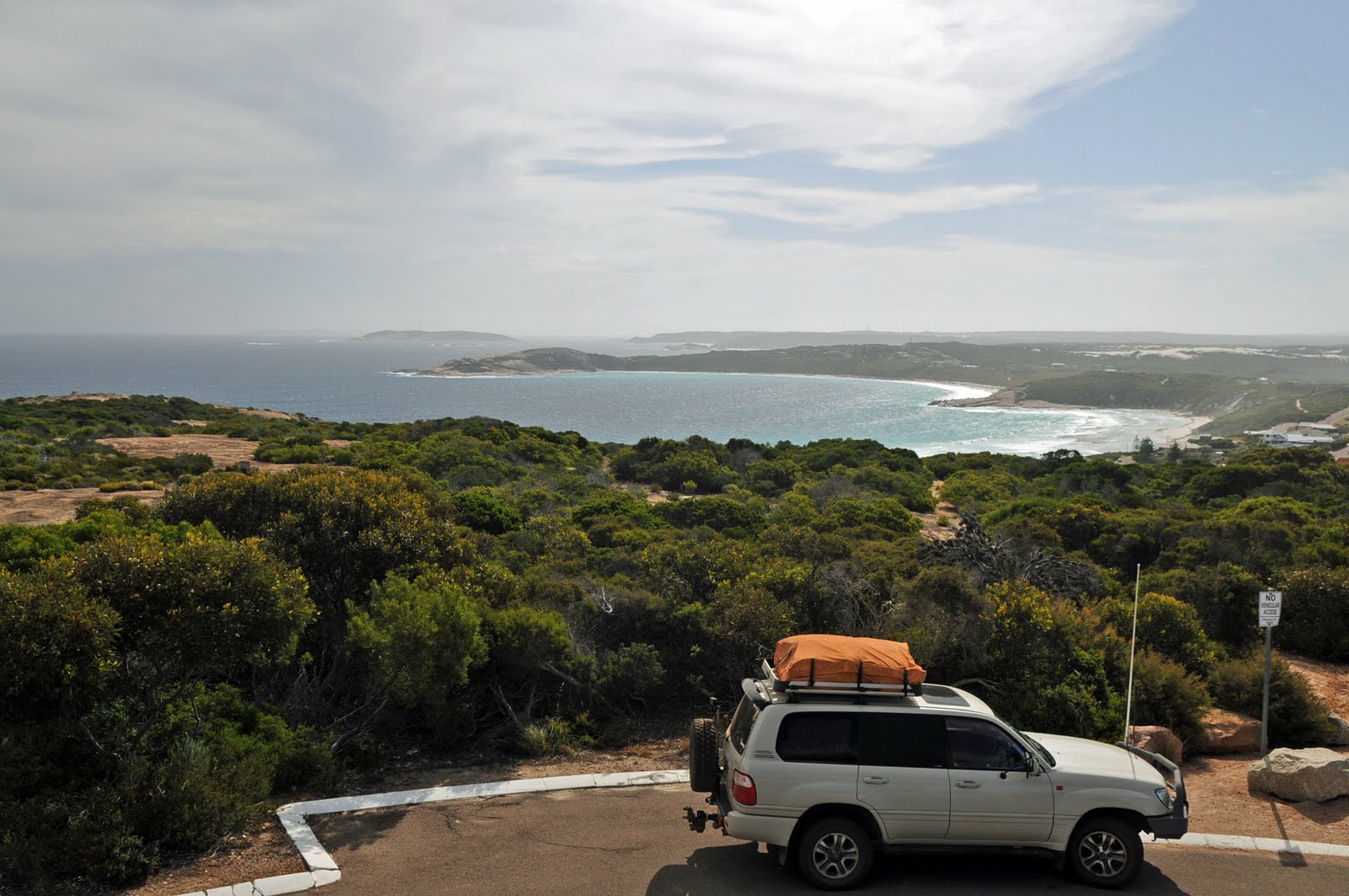
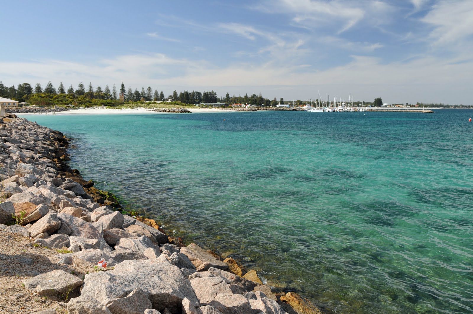
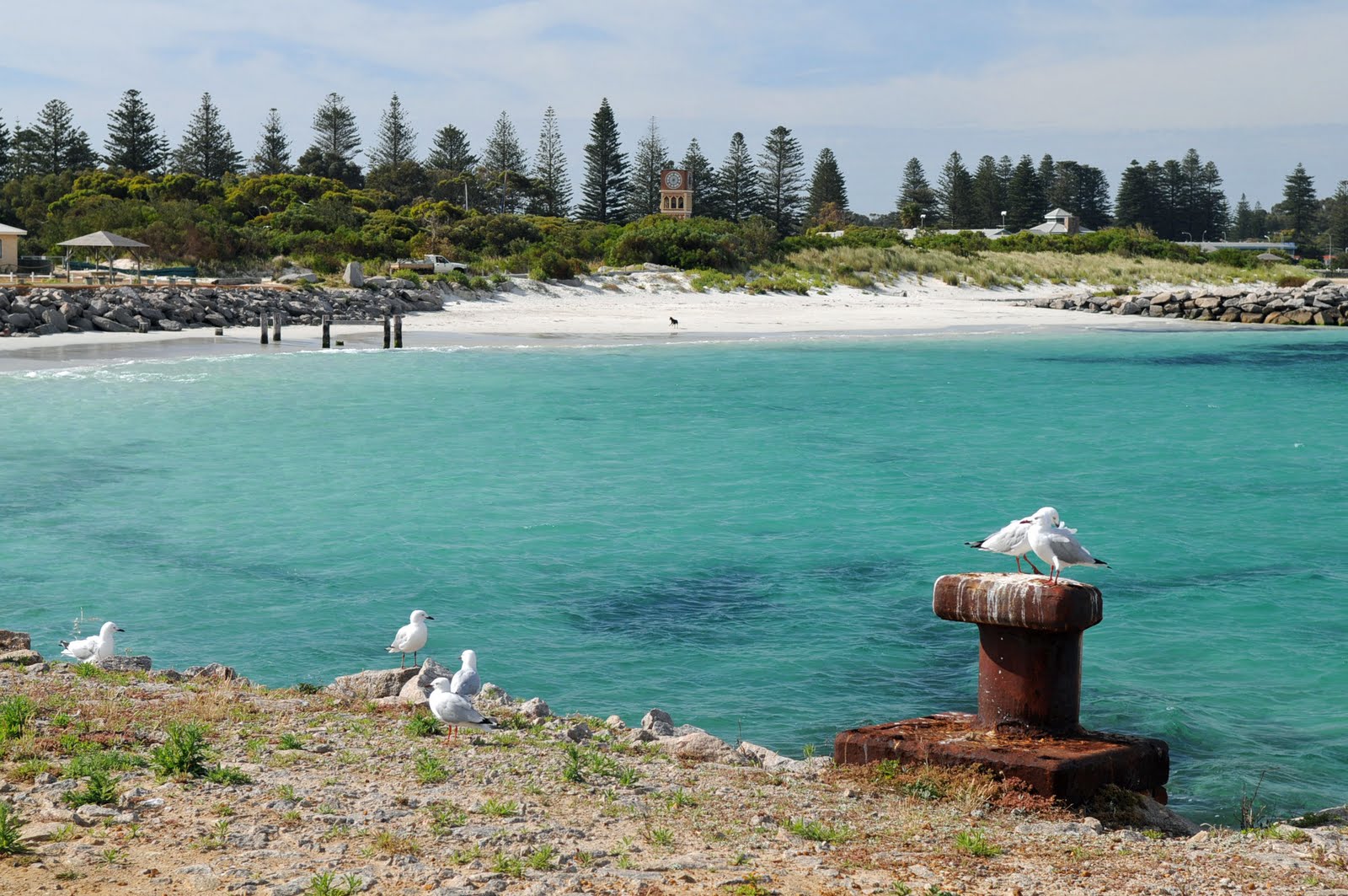
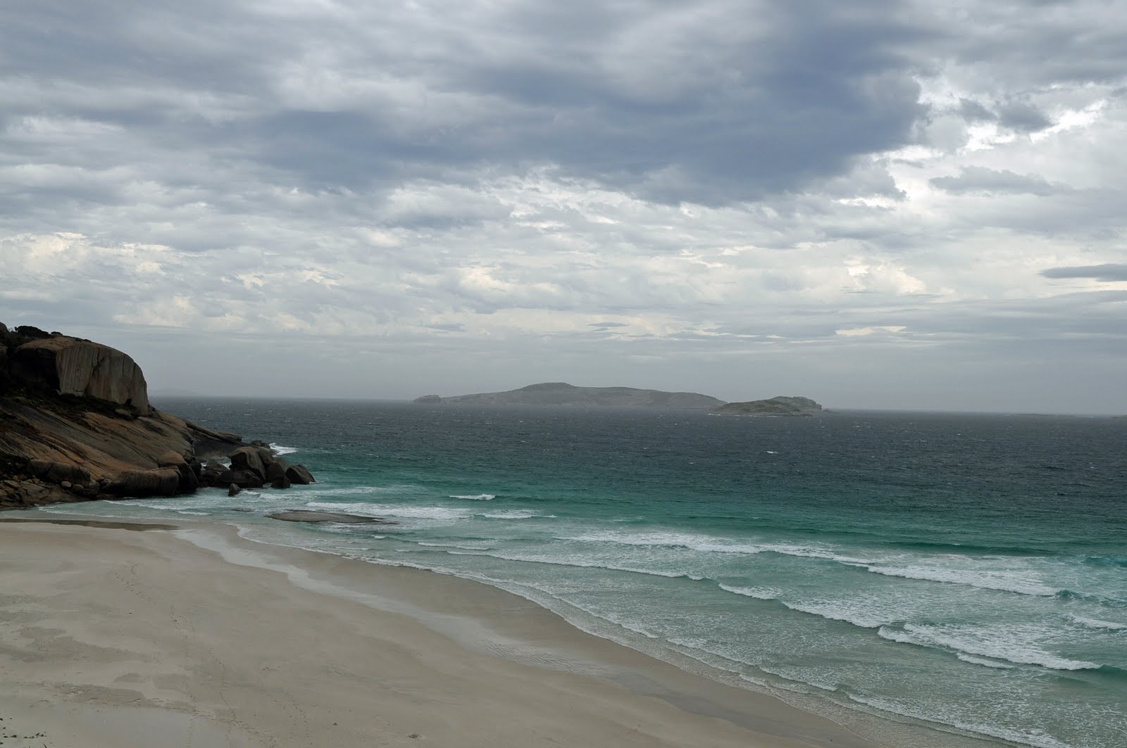
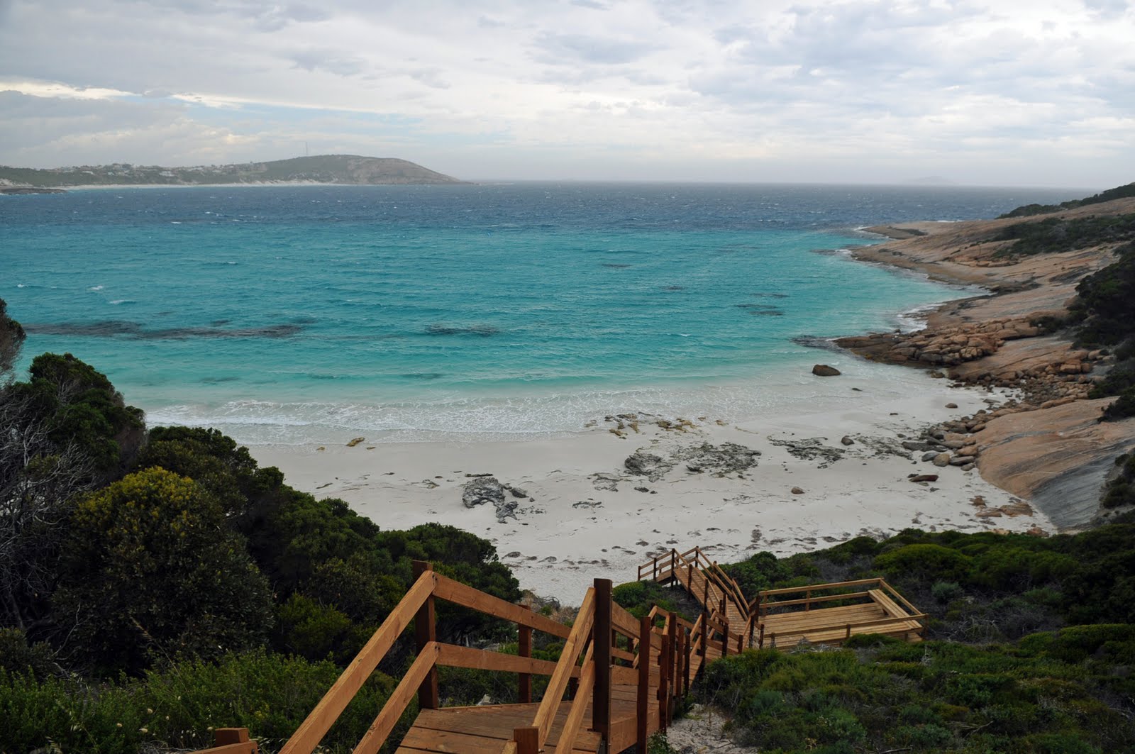
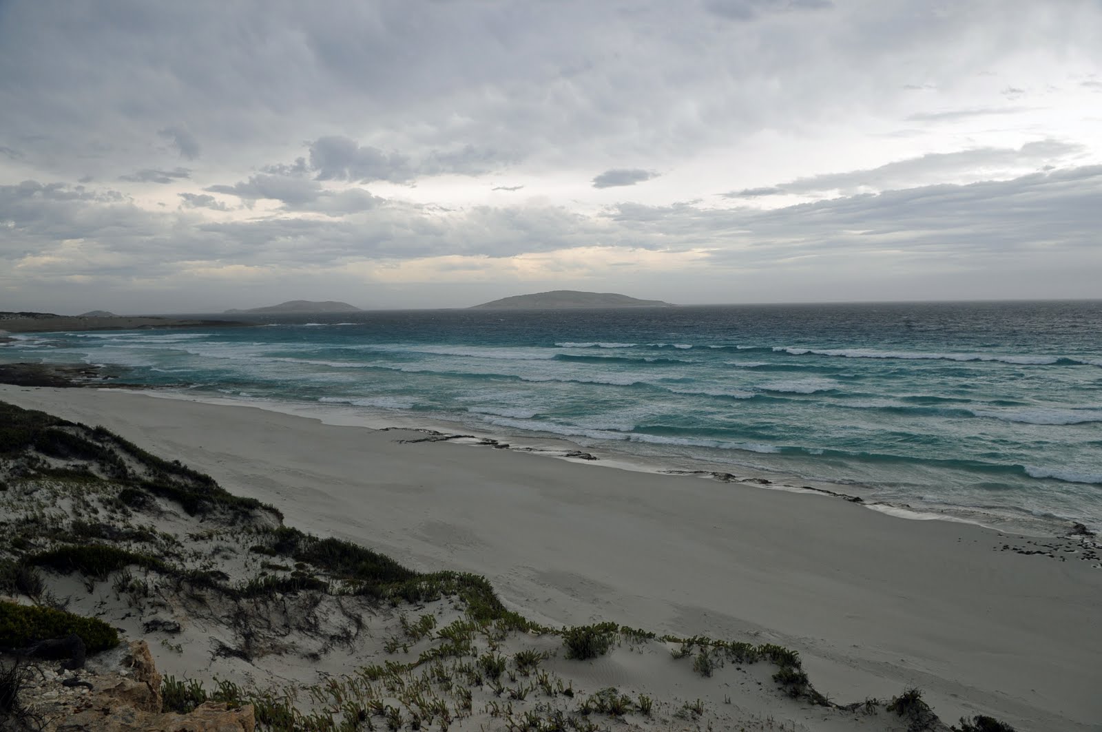
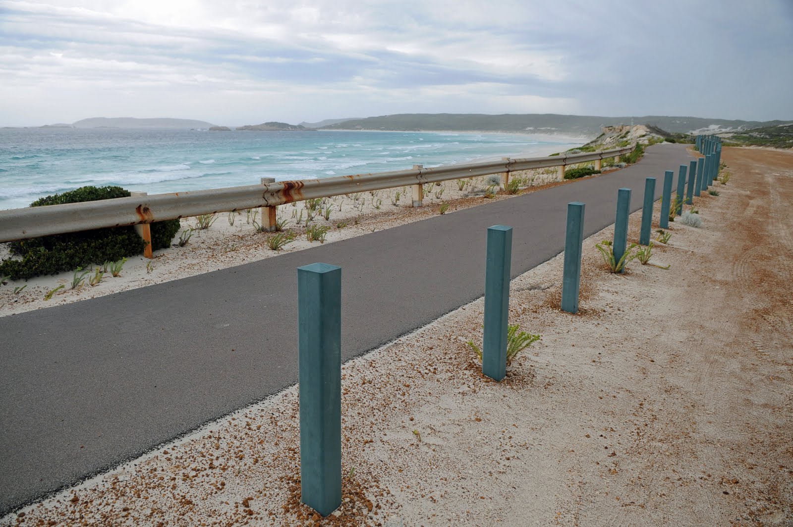
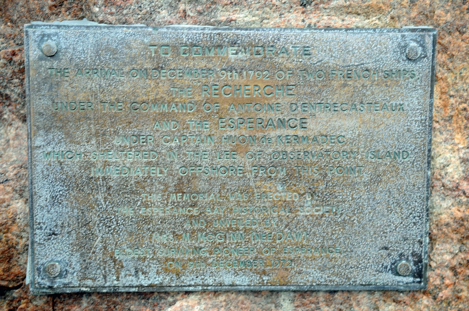
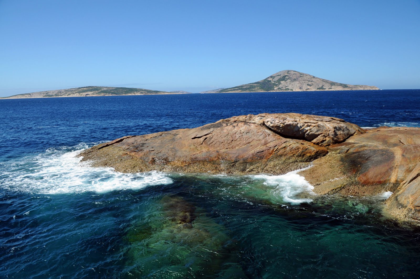
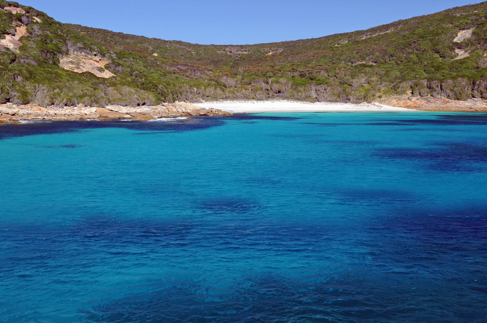
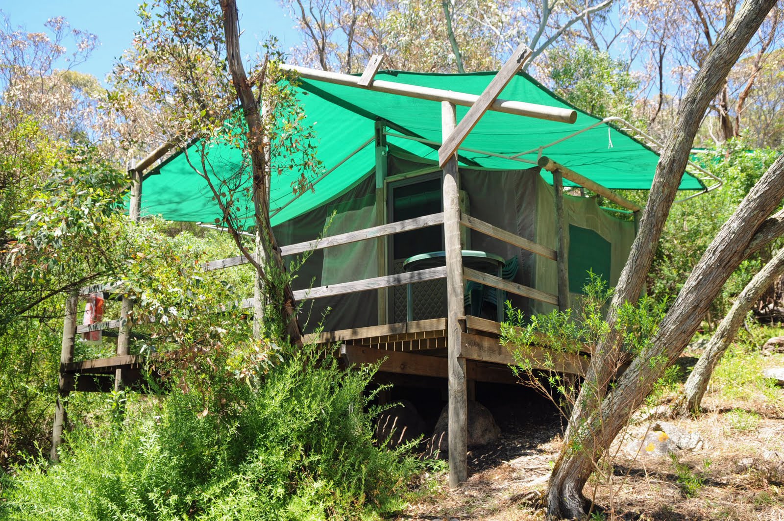
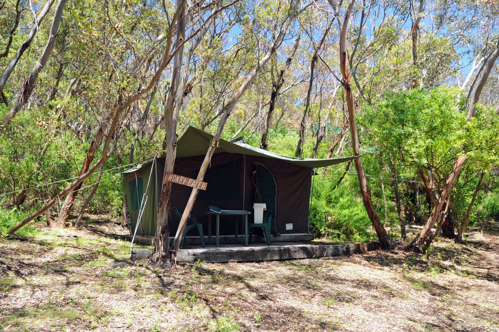
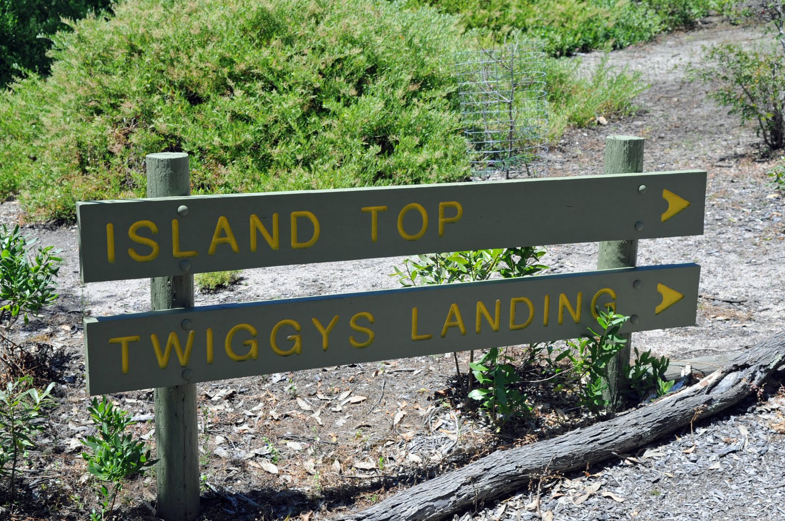
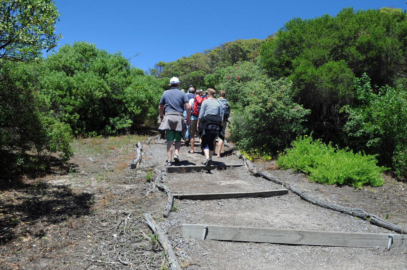
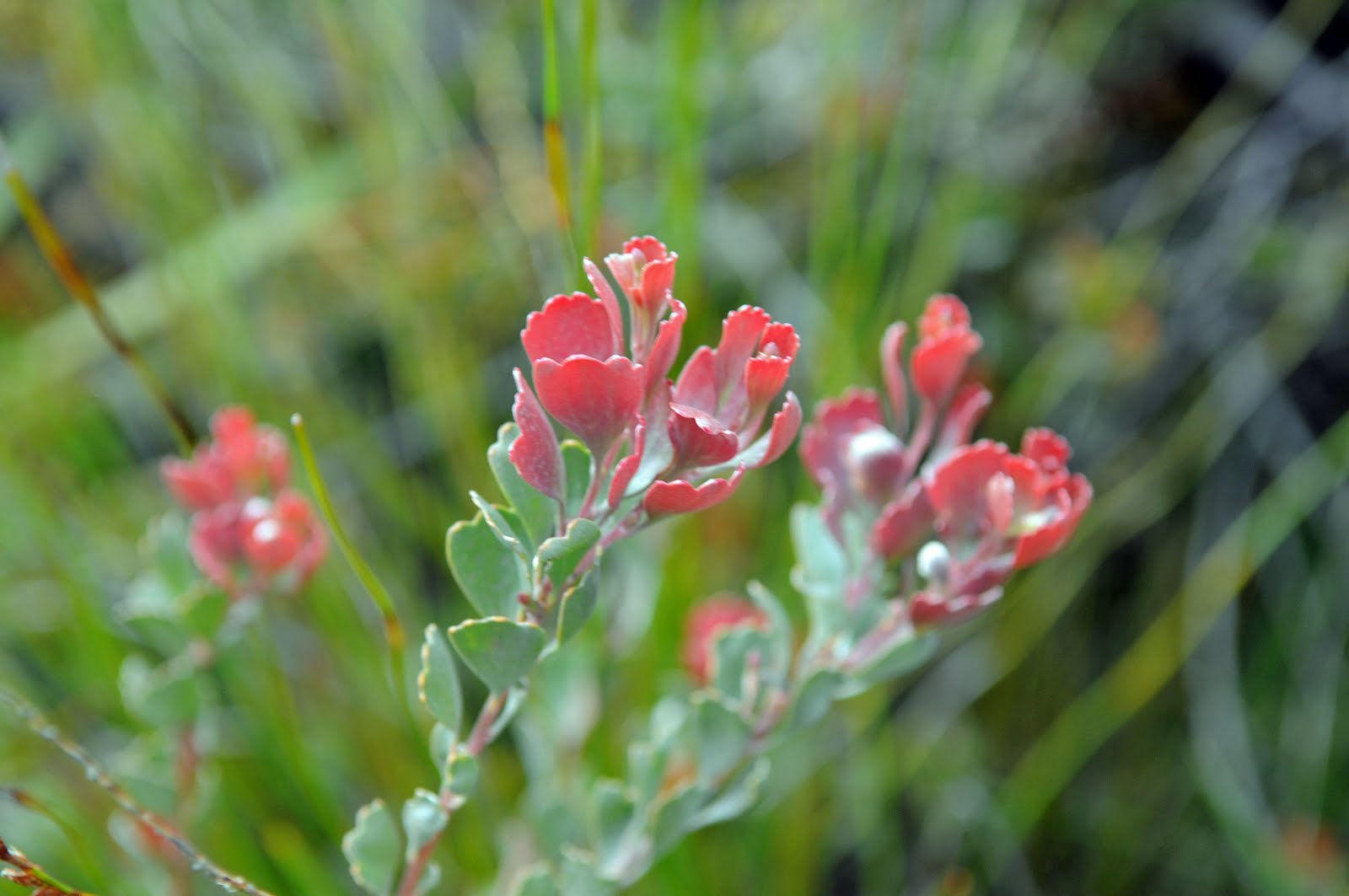
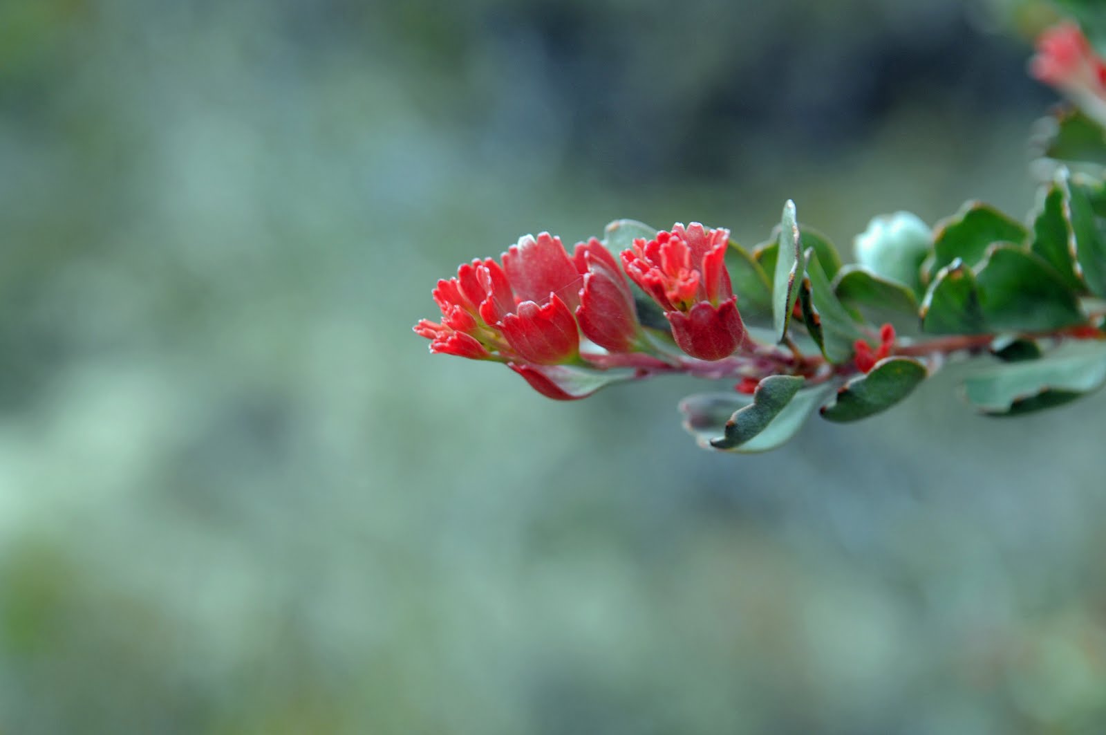
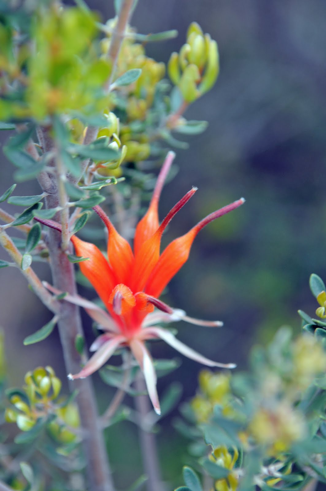
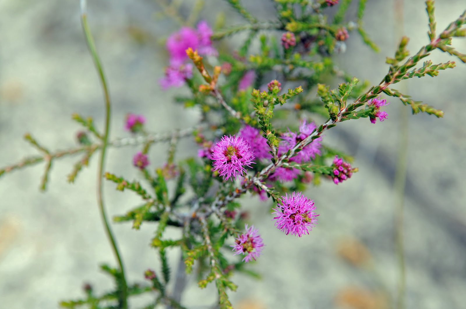
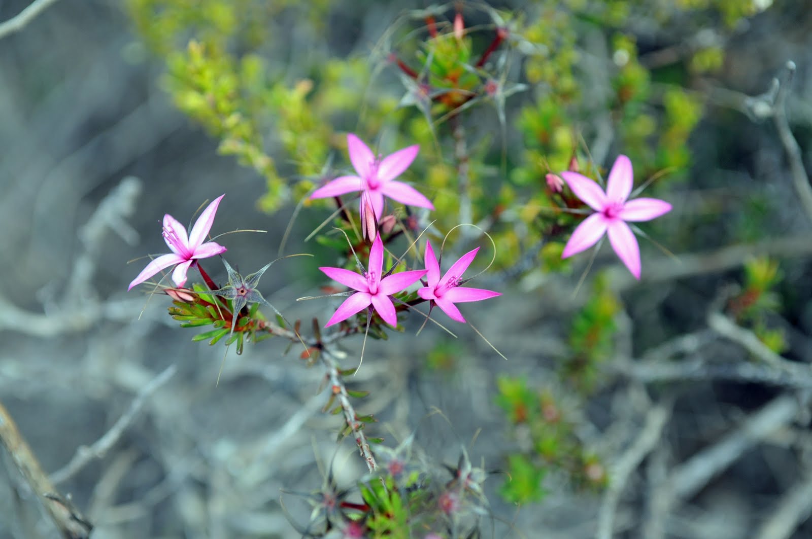
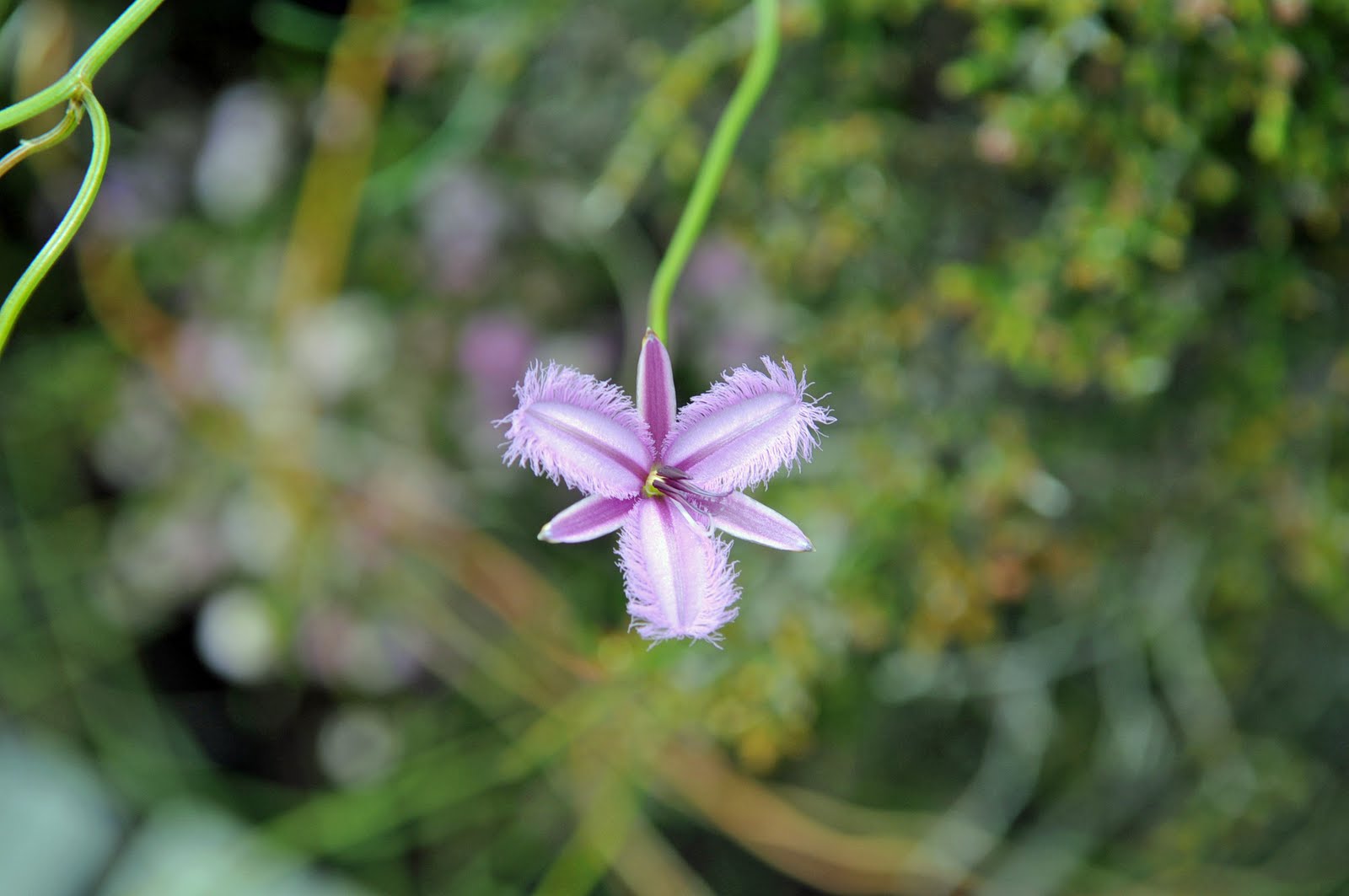
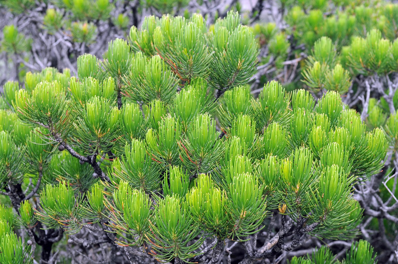
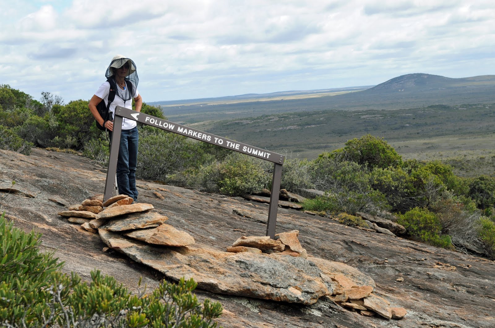
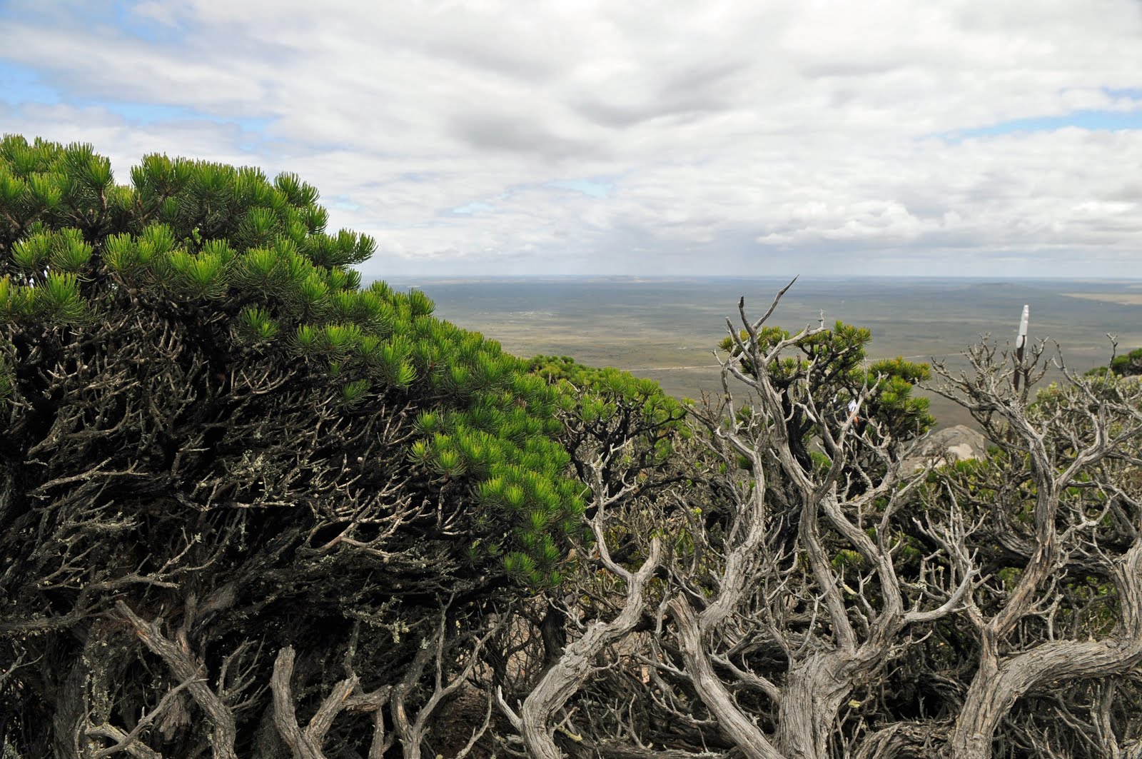
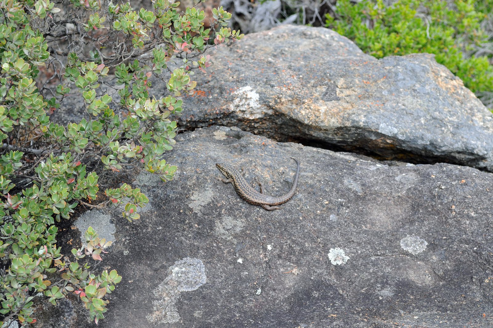
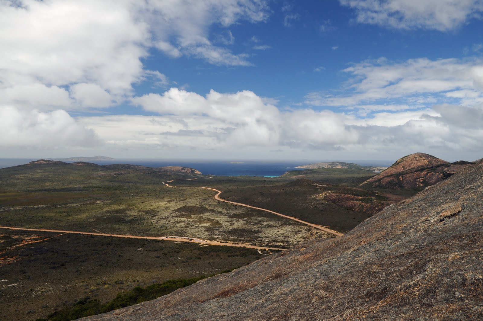
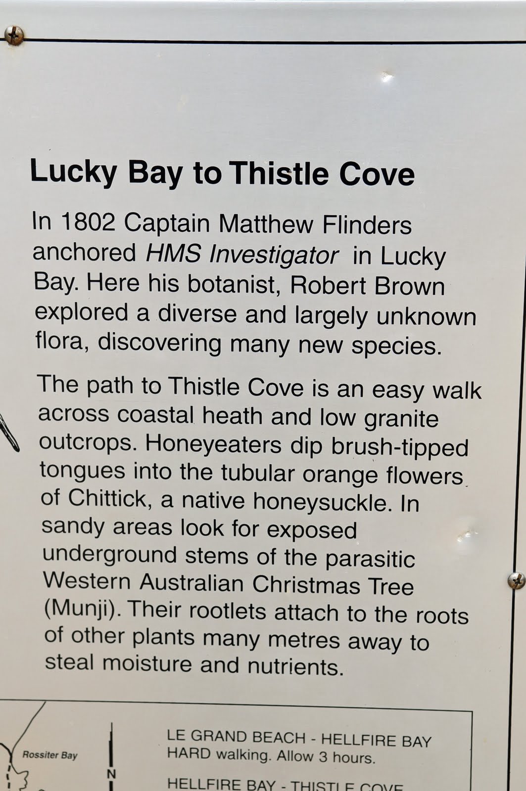
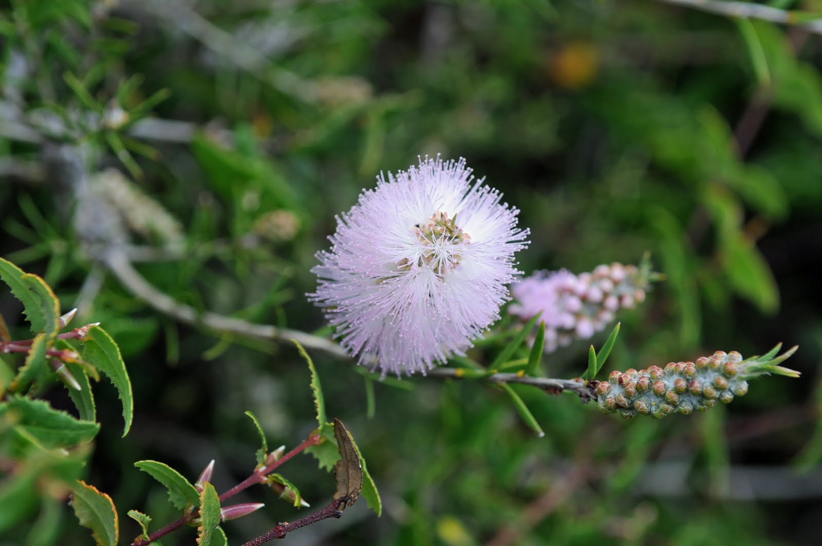
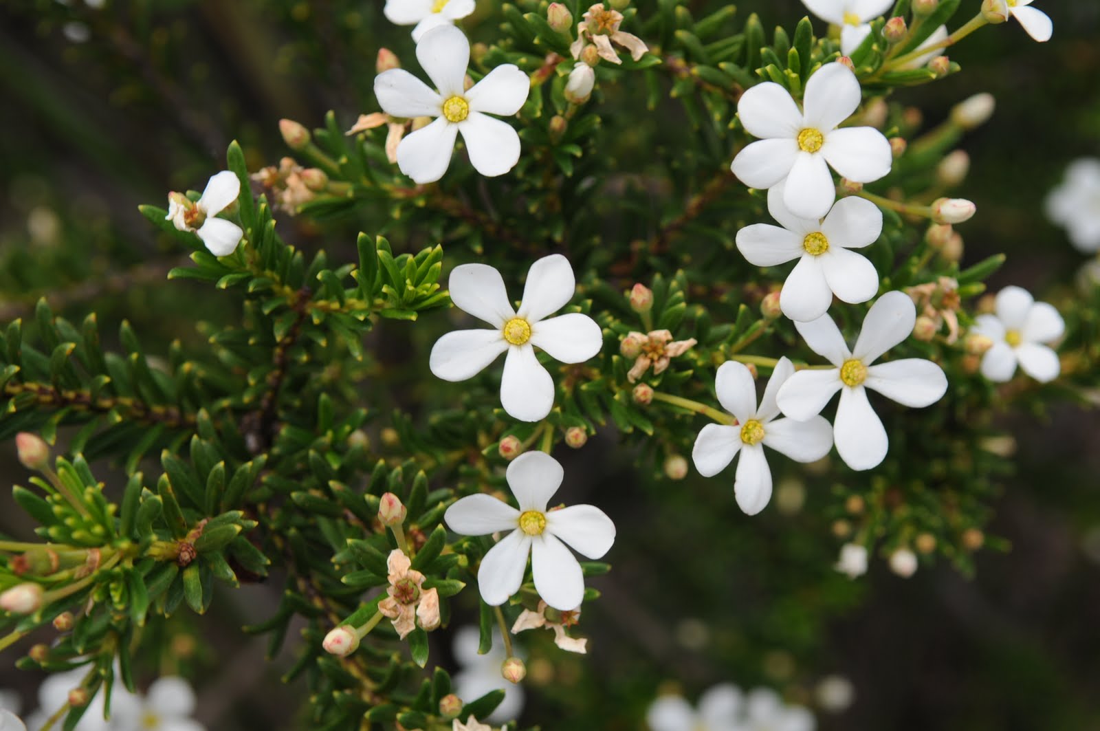
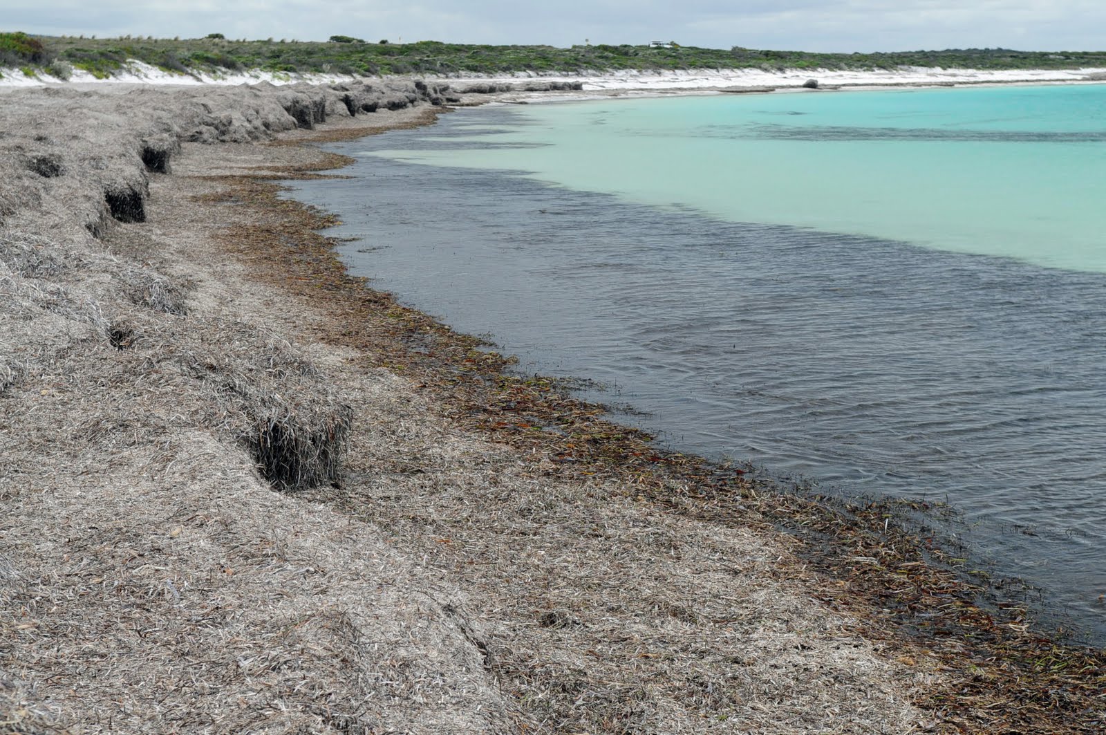
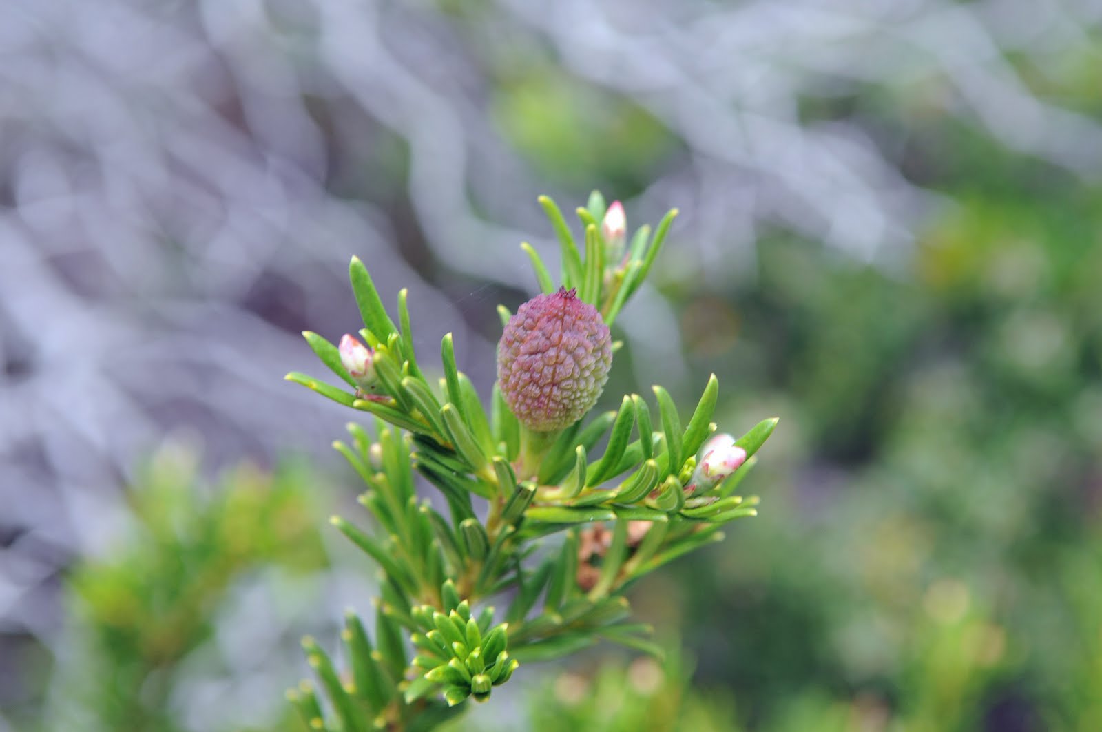
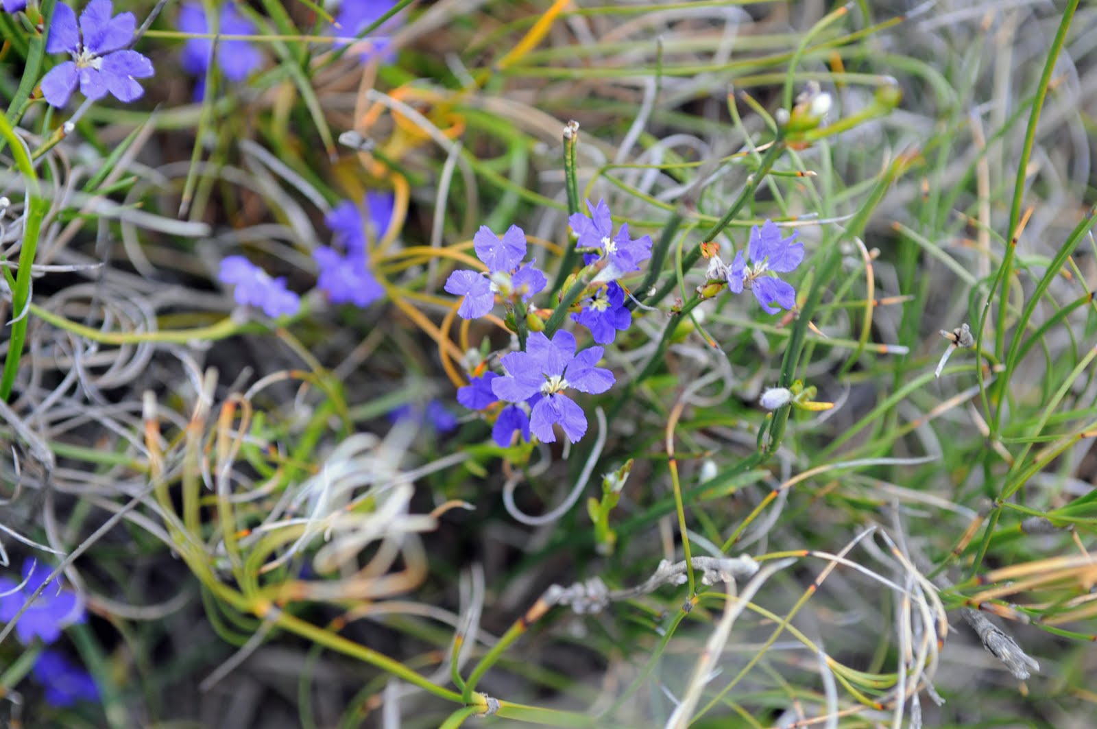
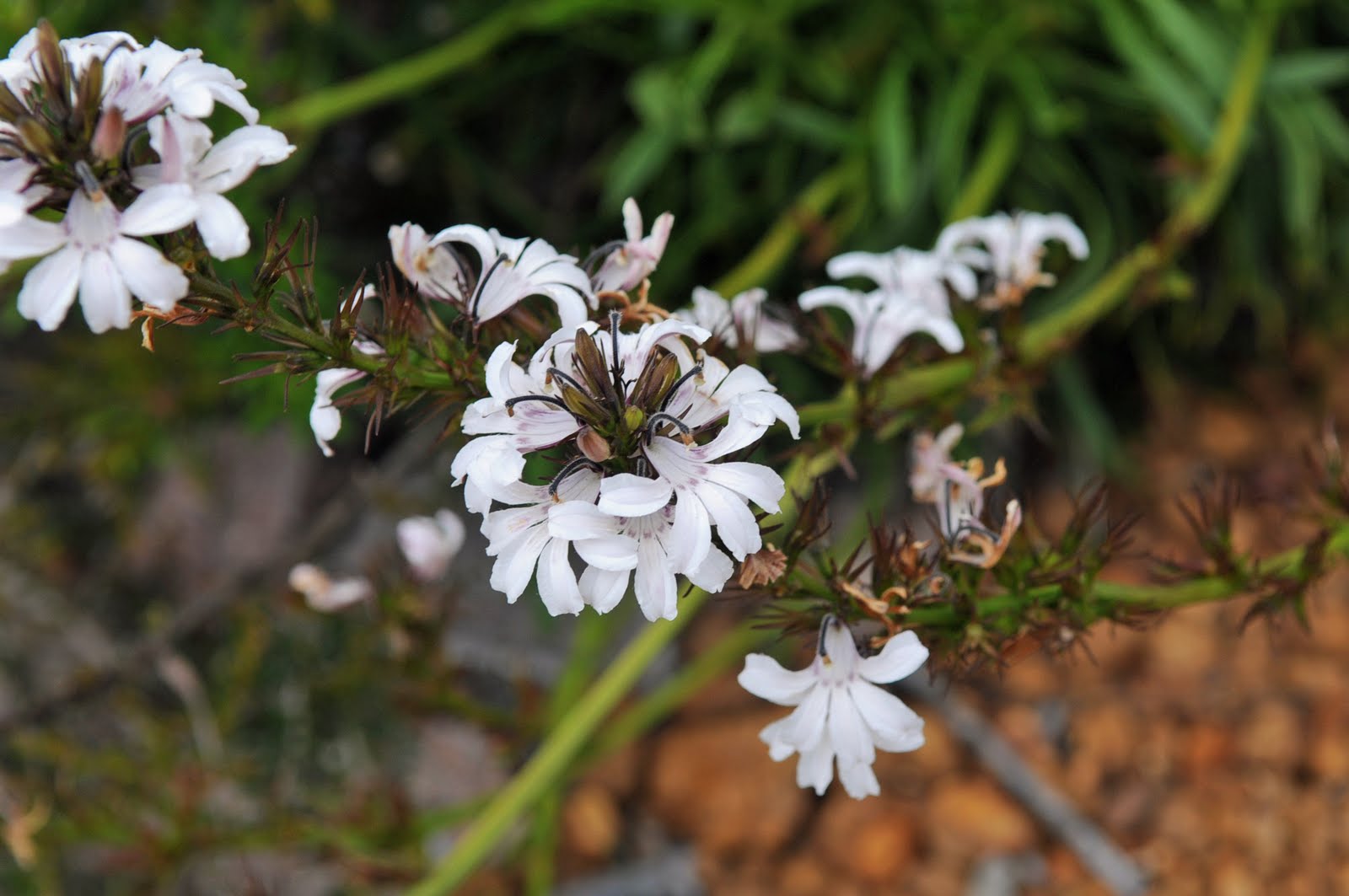
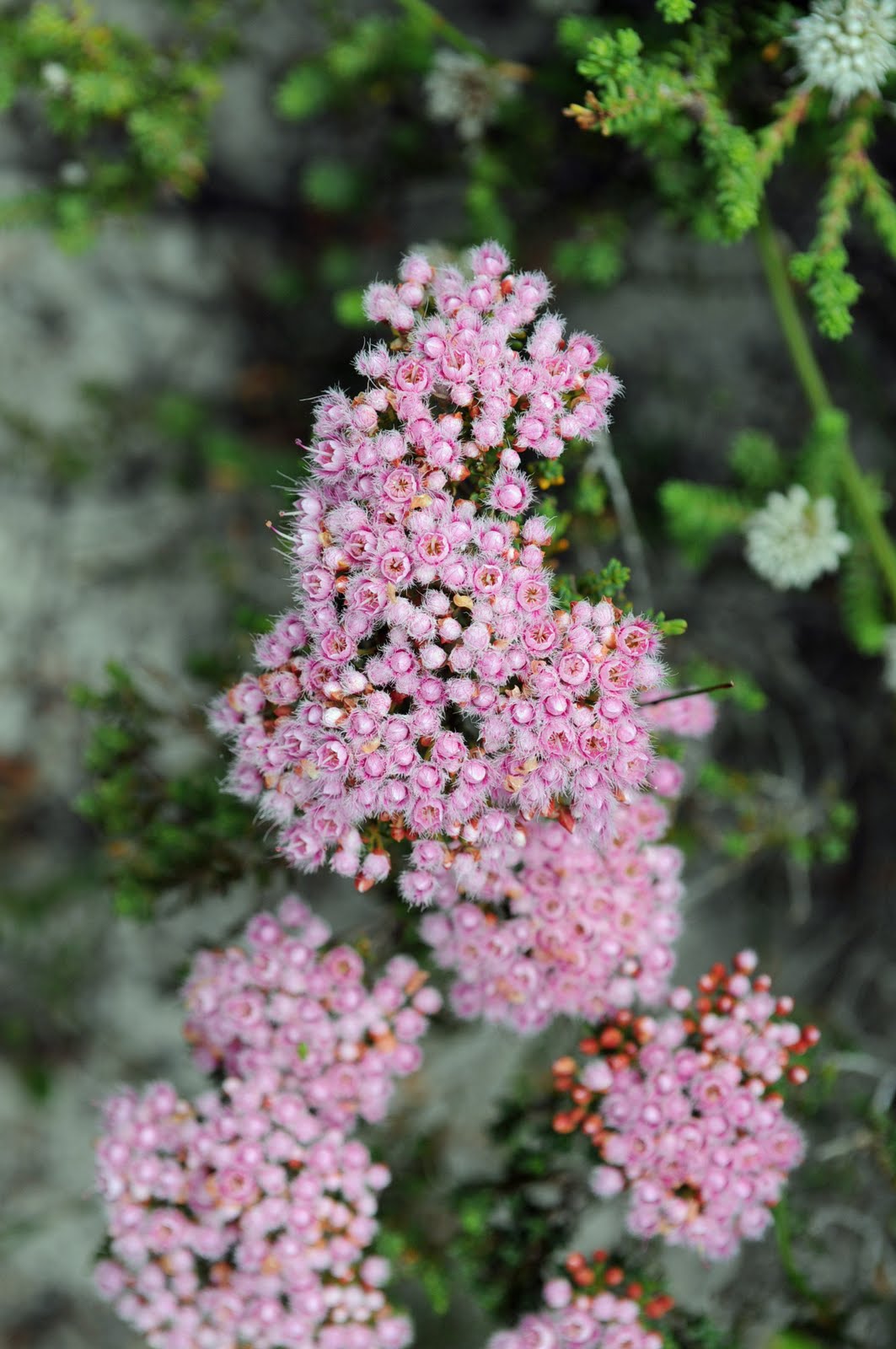
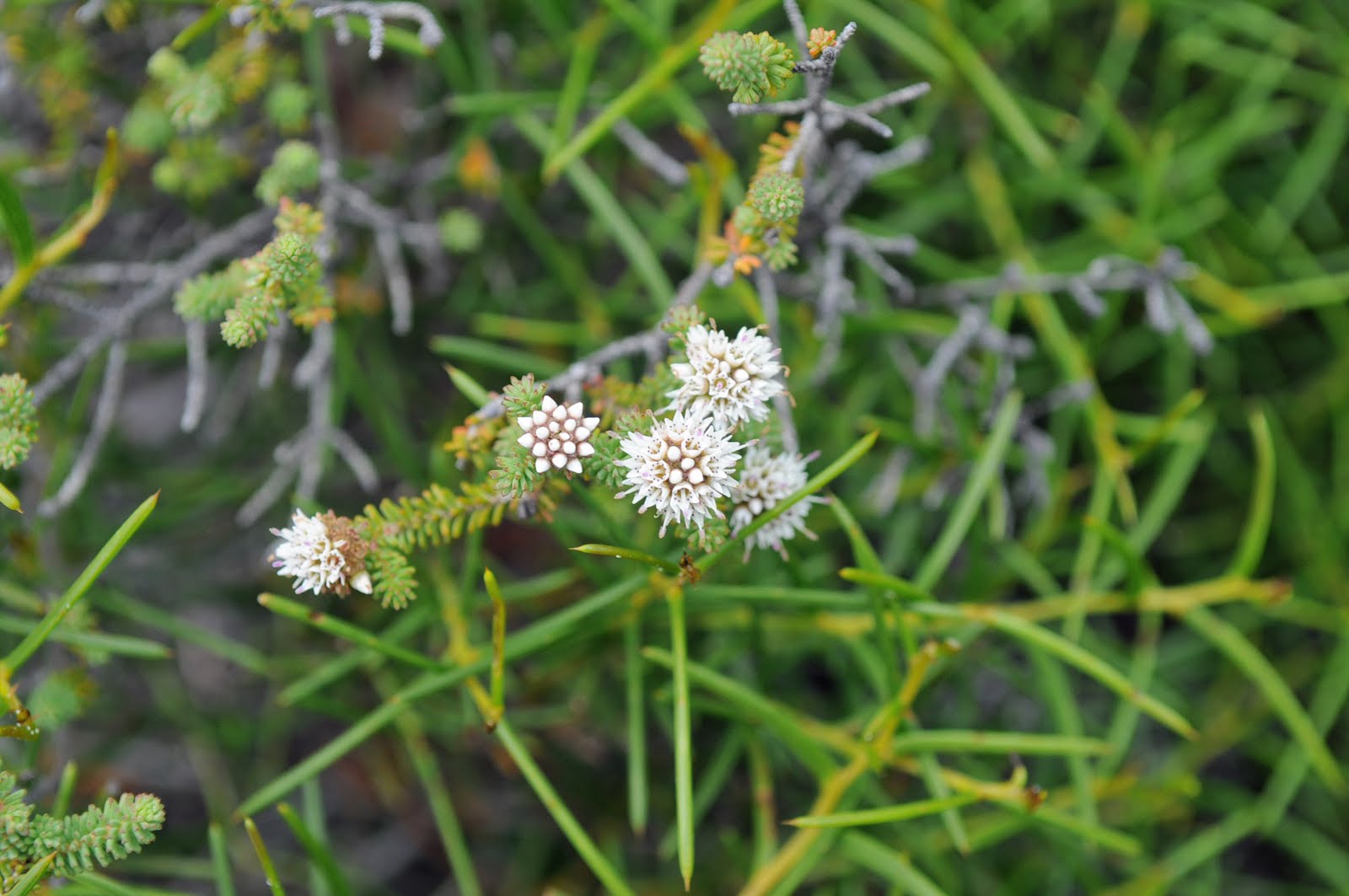
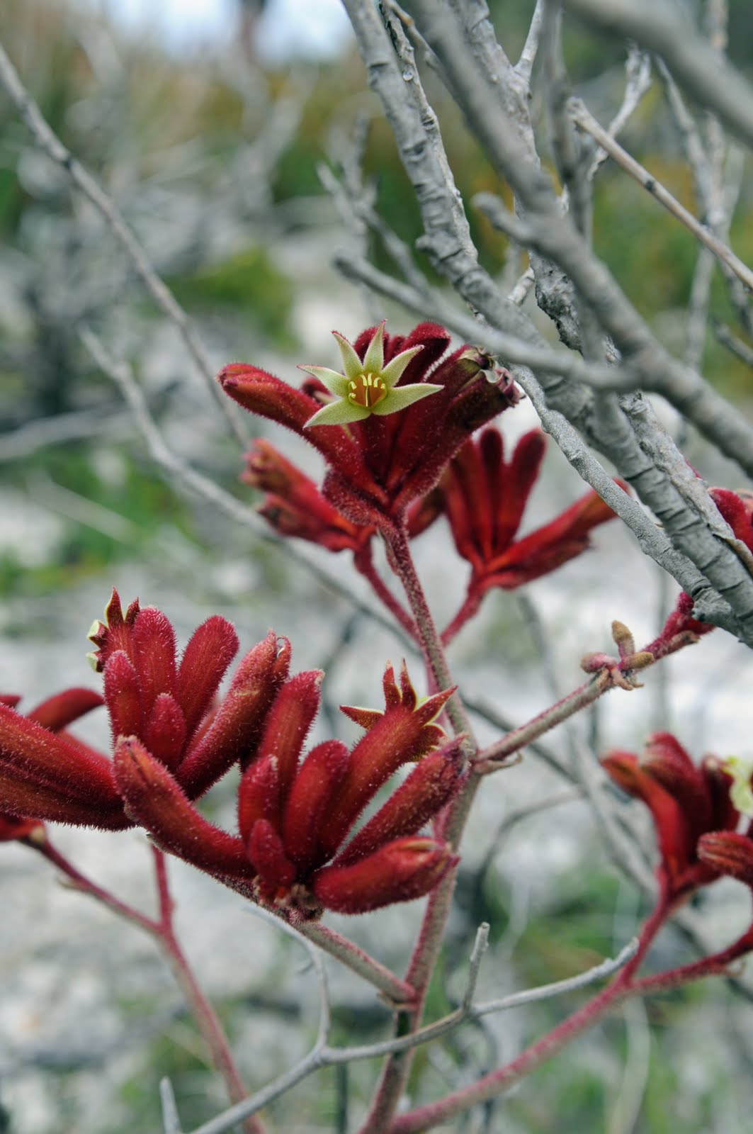
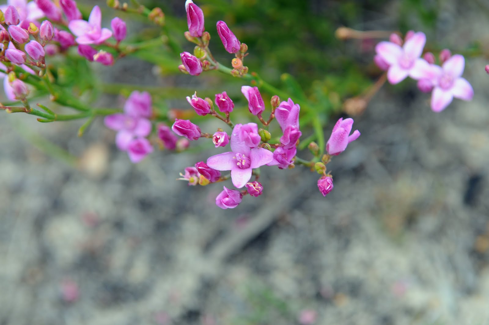
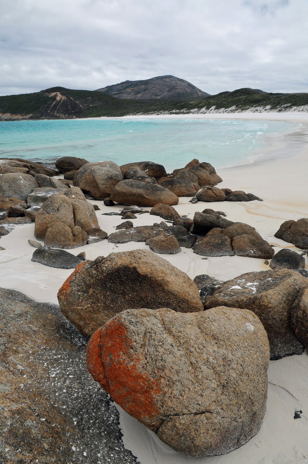
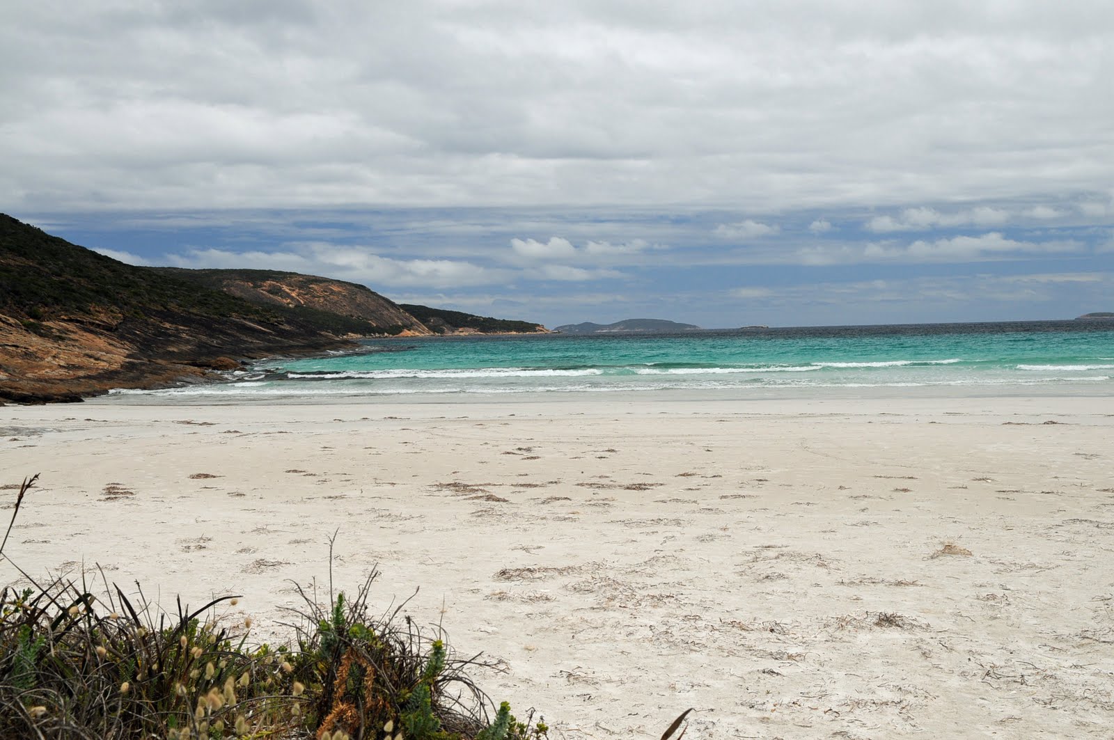
There was one little town after another with nothing really worth stopping for; Hardwicke, Point Turton, Warooka and Corny Point which was named by Matthew Flinders because it looked like it was a corn on the bottom of the foot of the peninsula he was mapping, Marion Bay and onto Innes National Park which was absolutely beautiful.
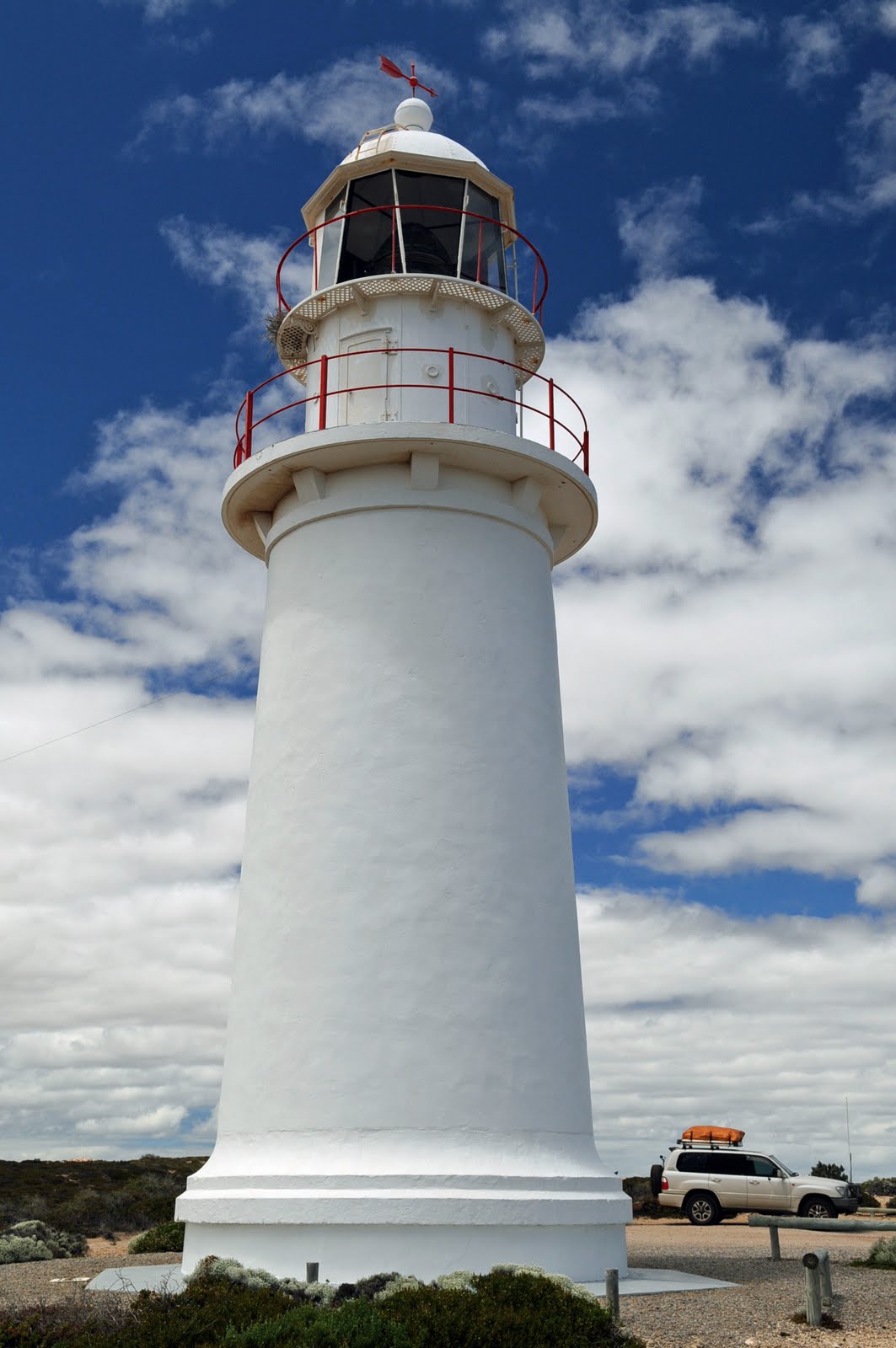
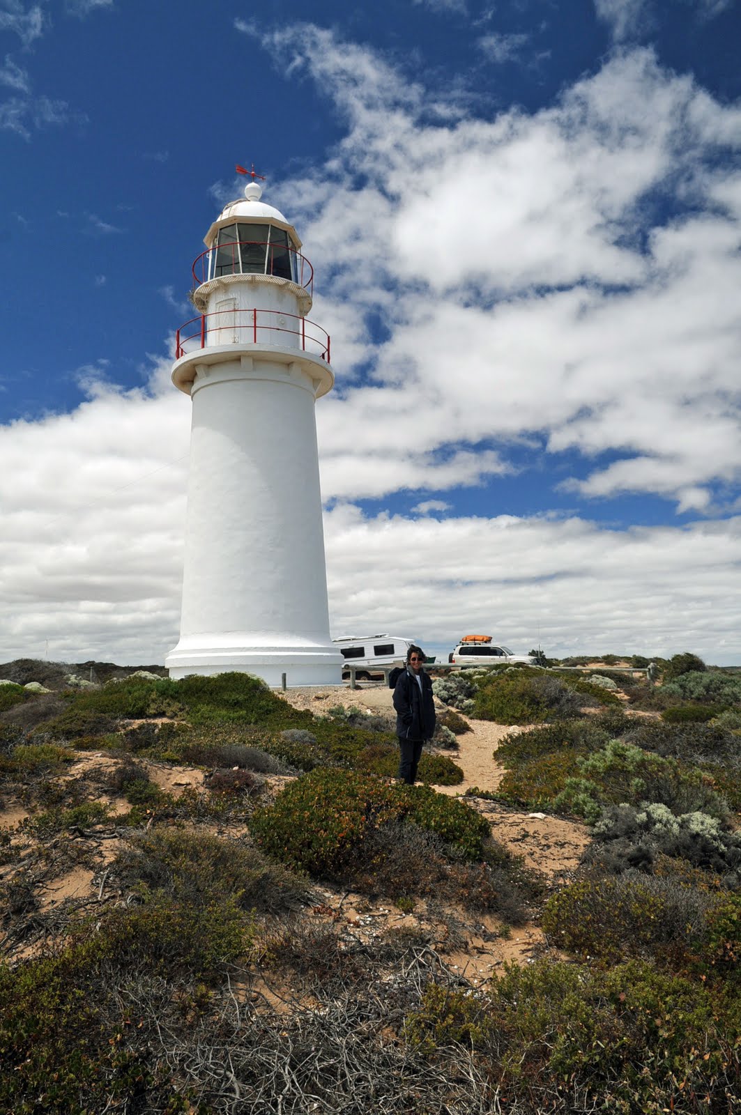
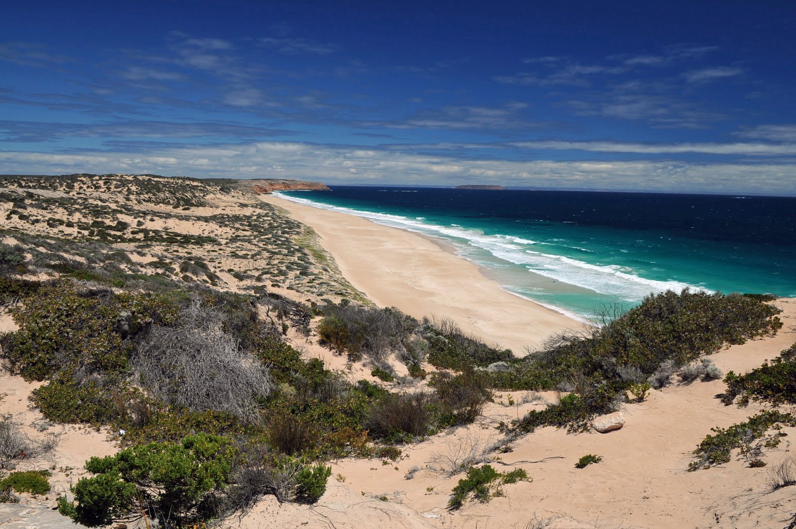
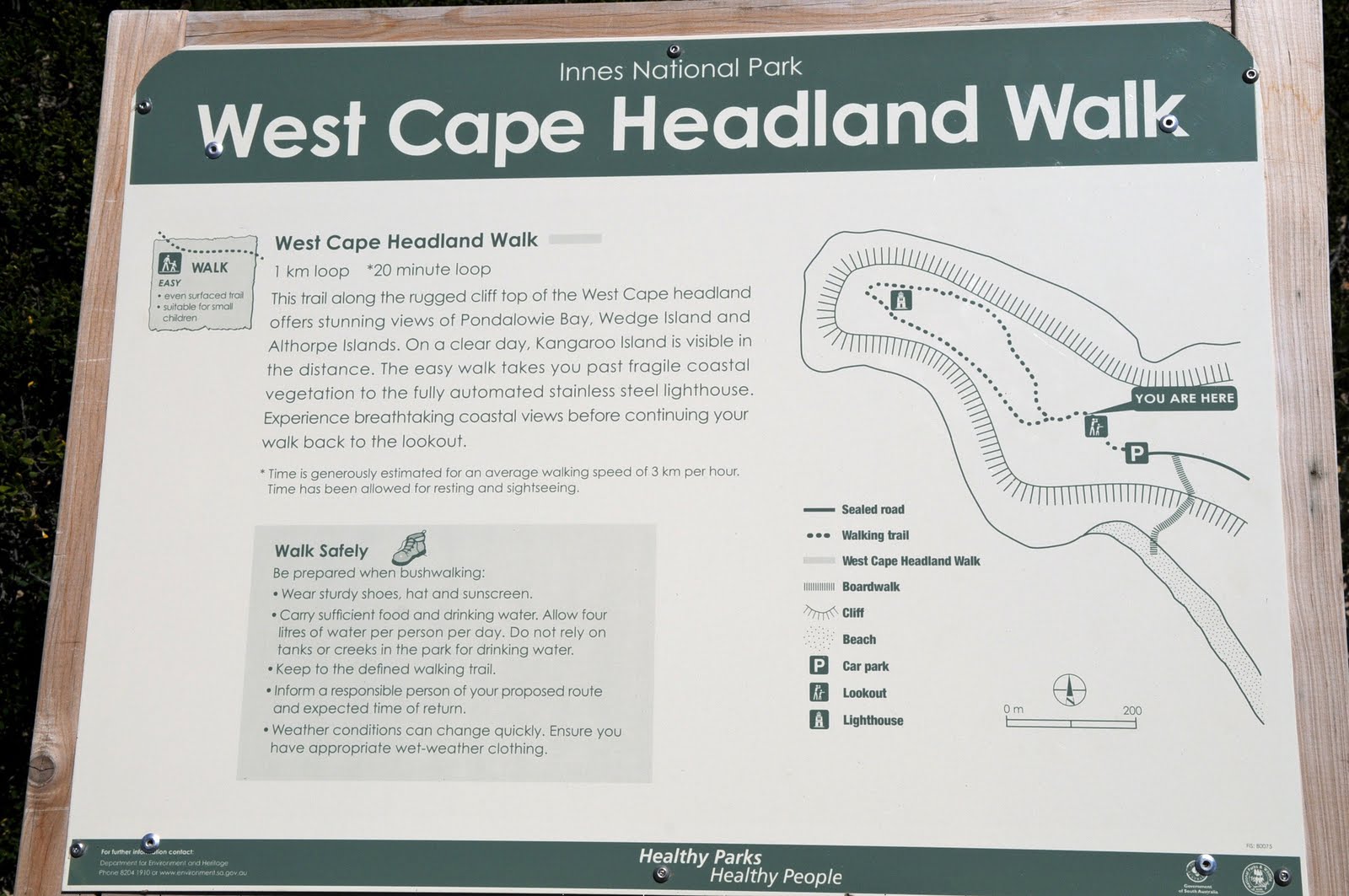
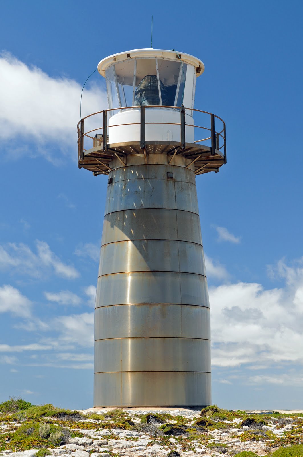
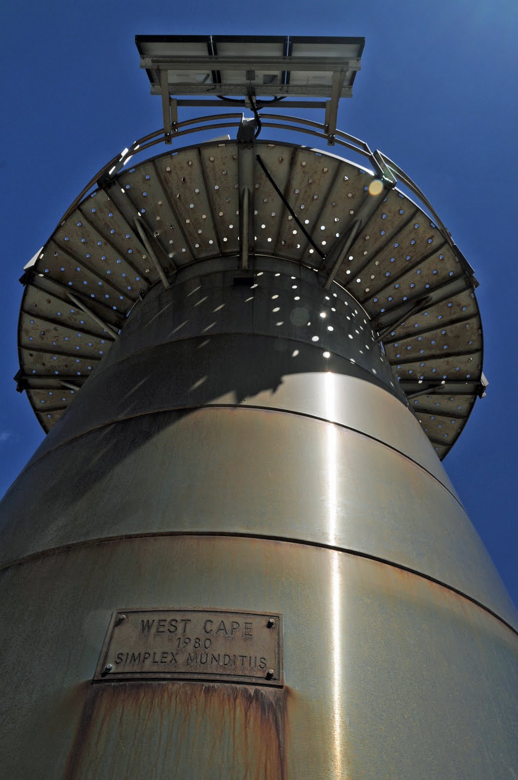
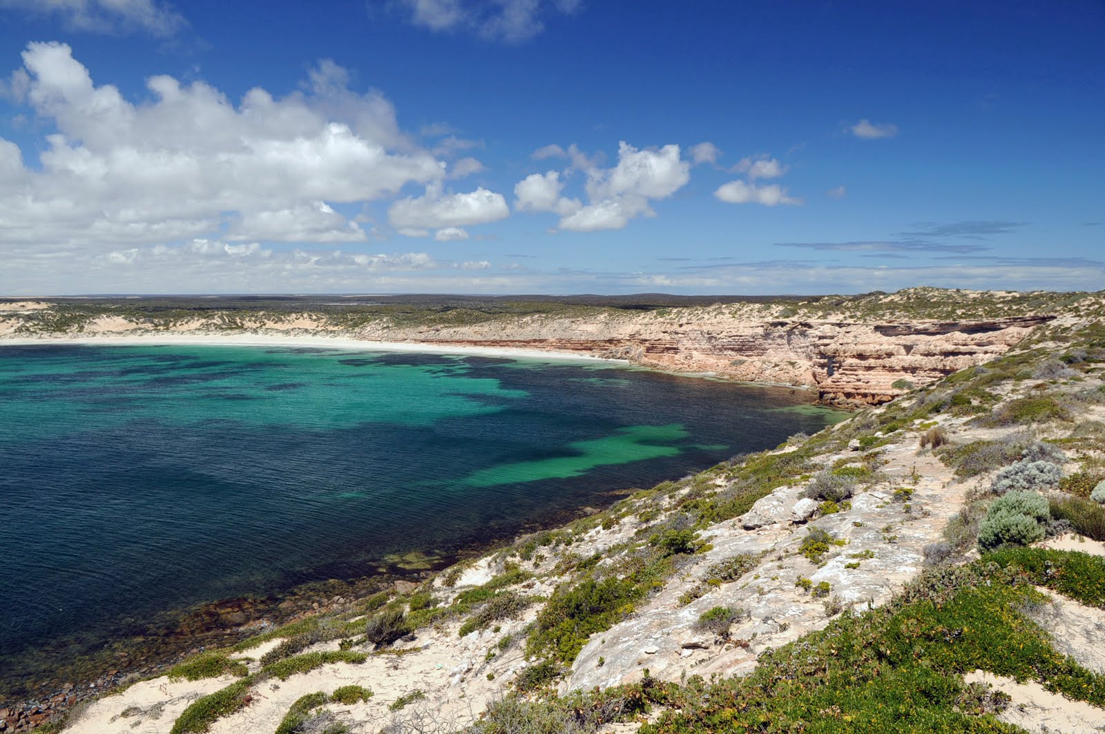
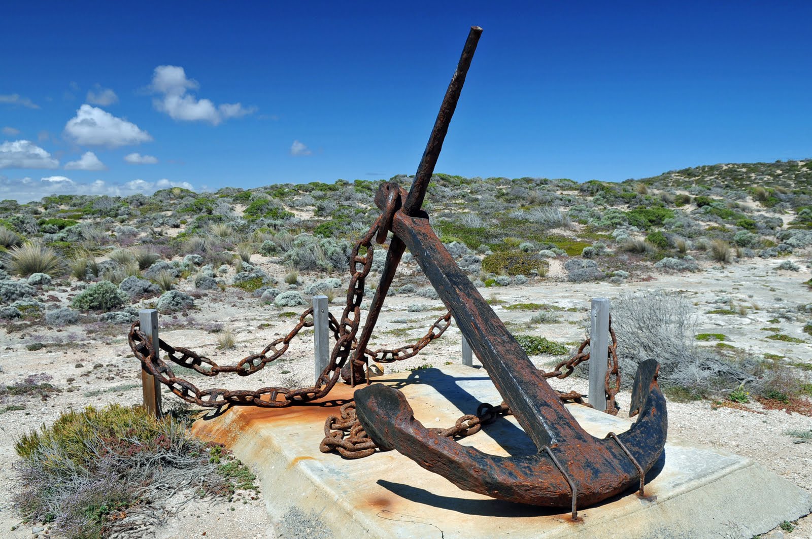
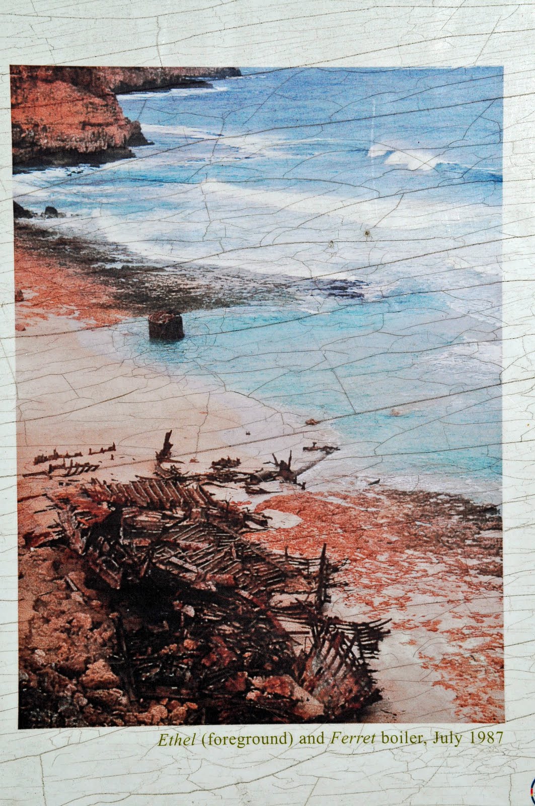
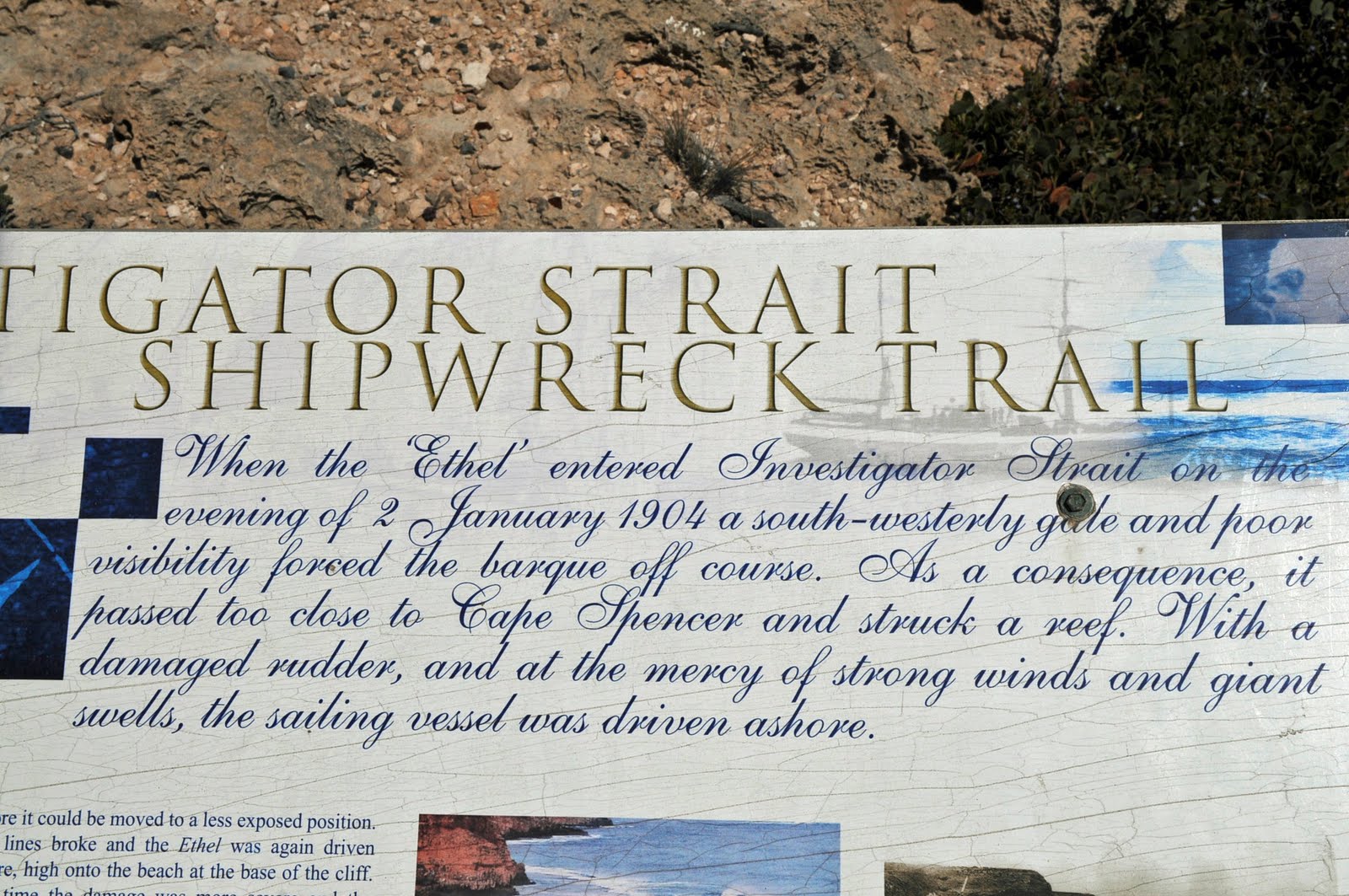
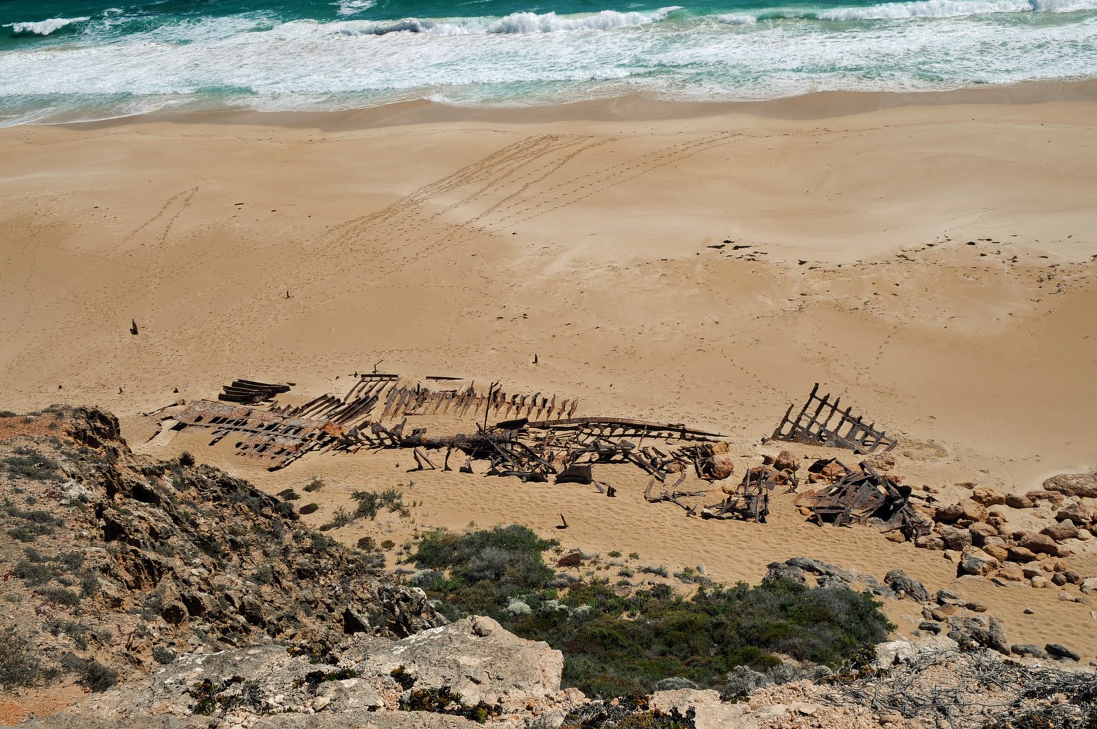
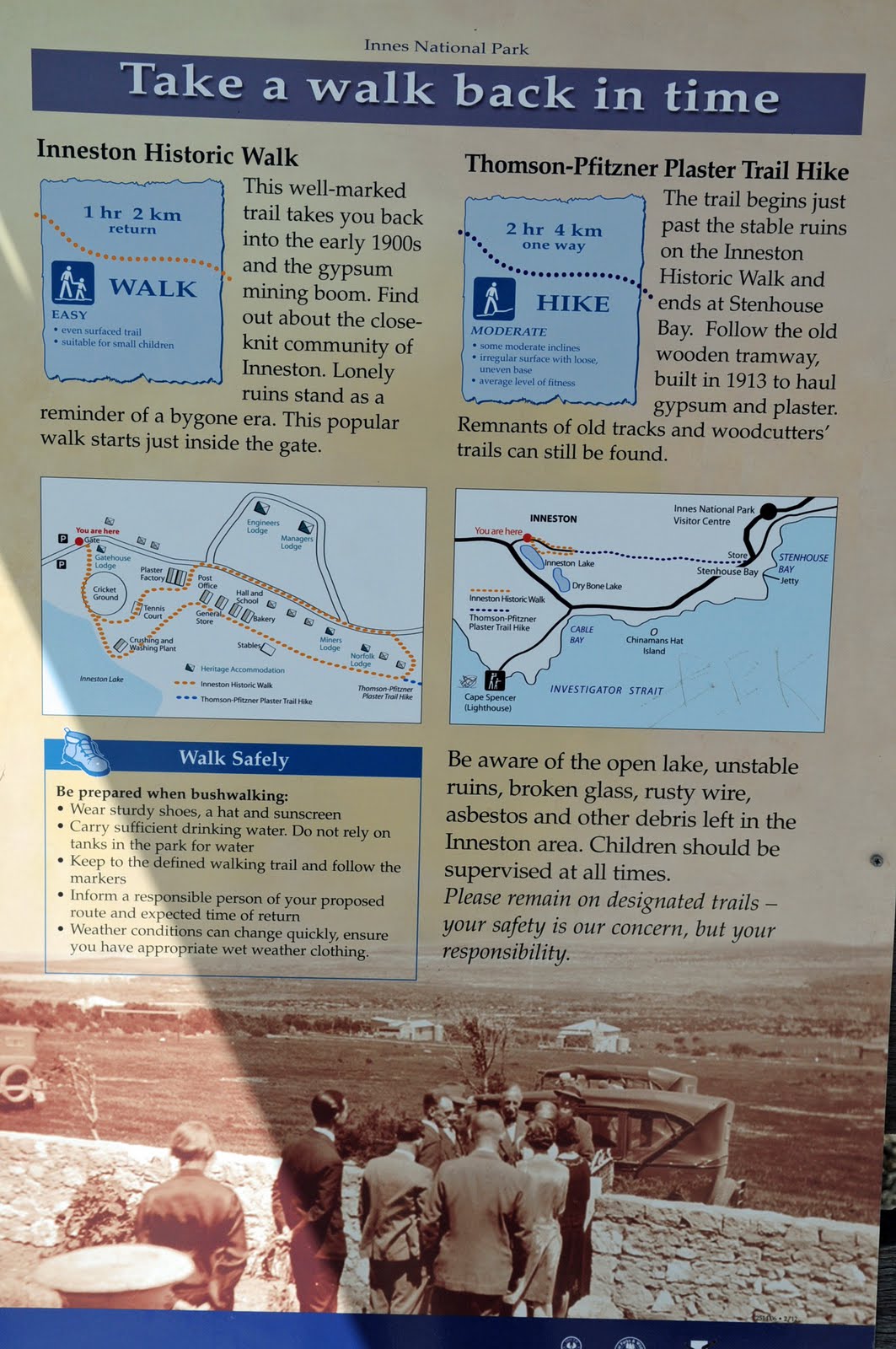
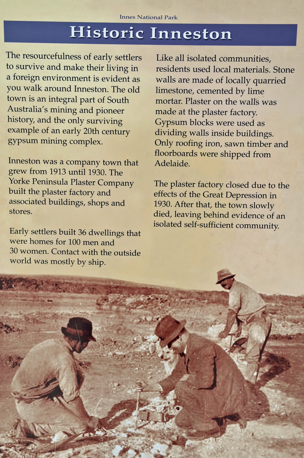
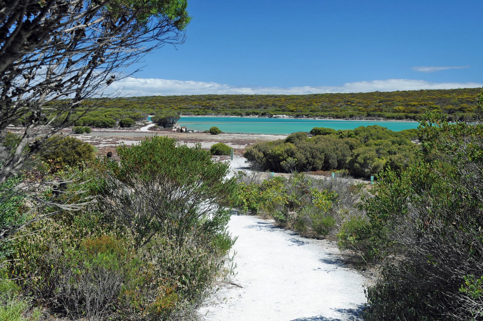
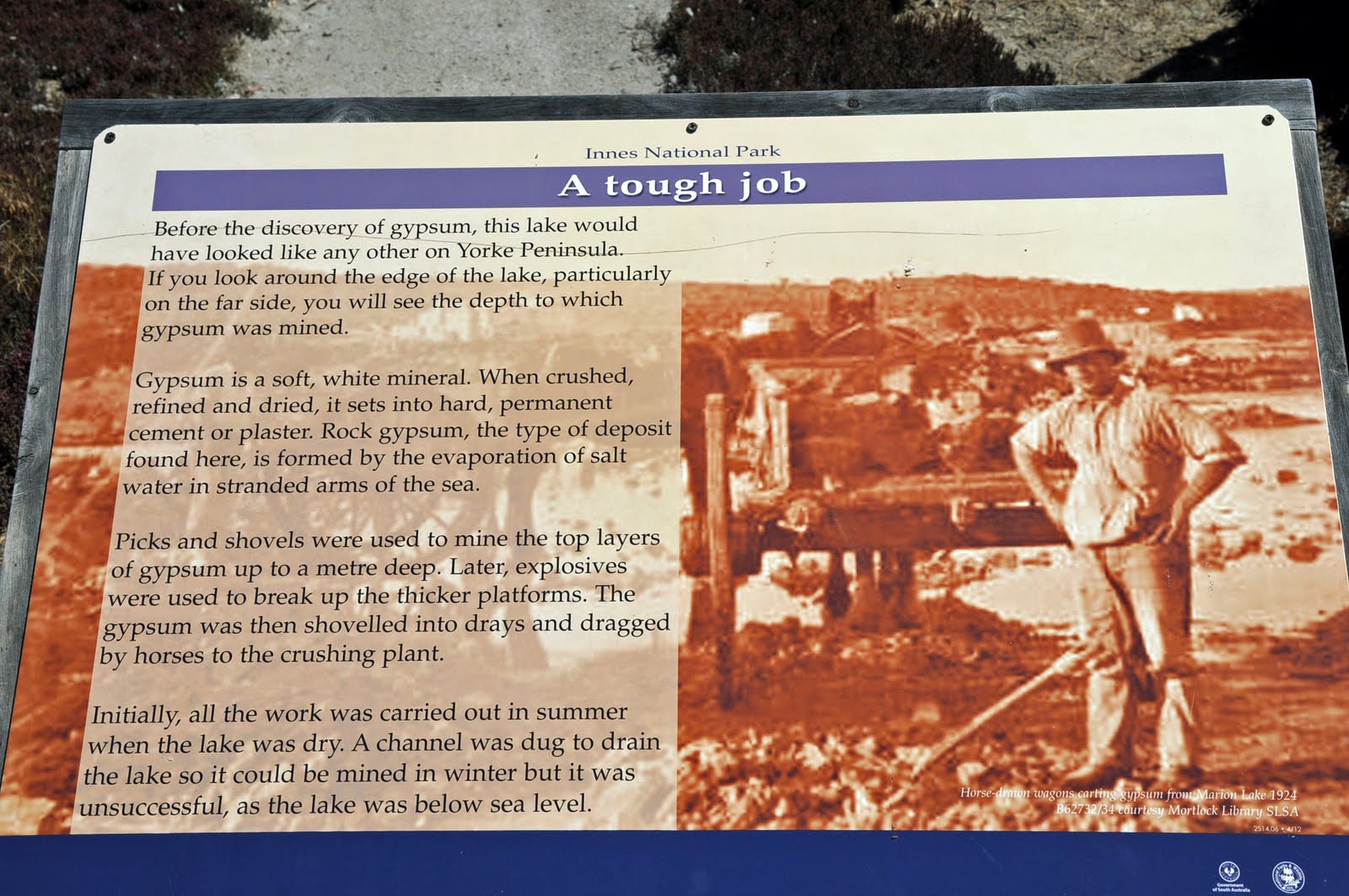
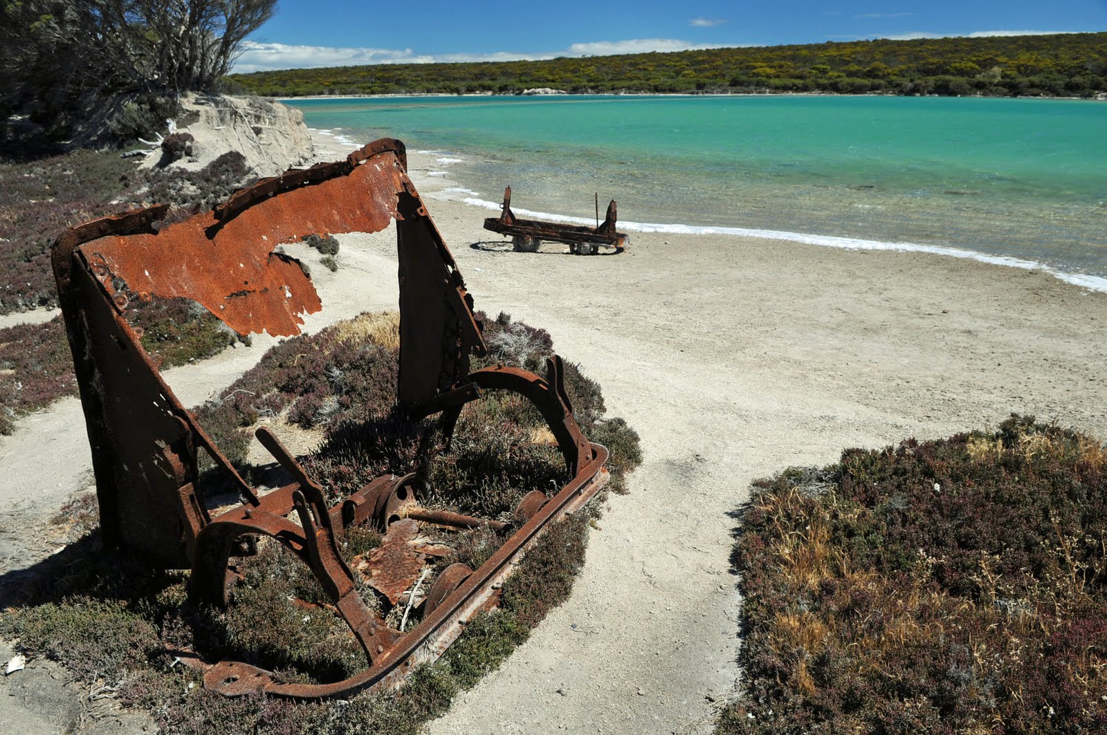
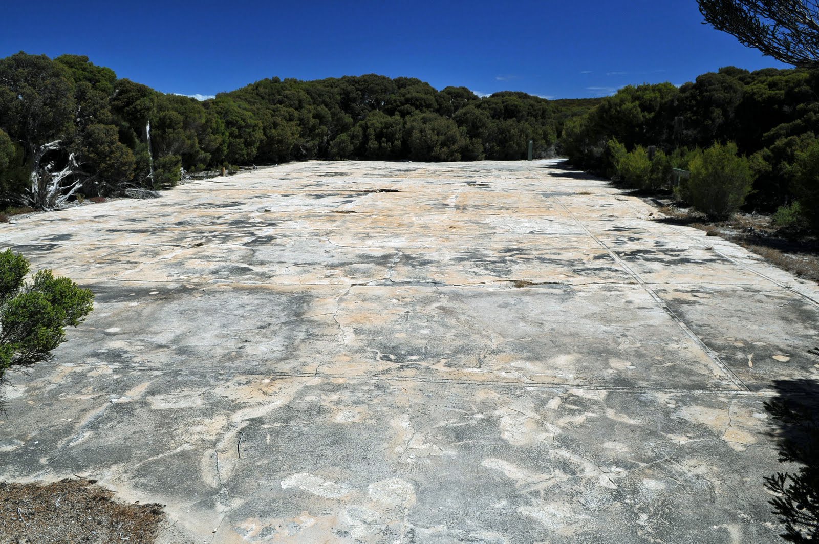
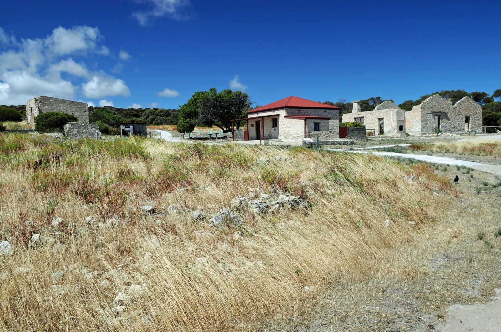
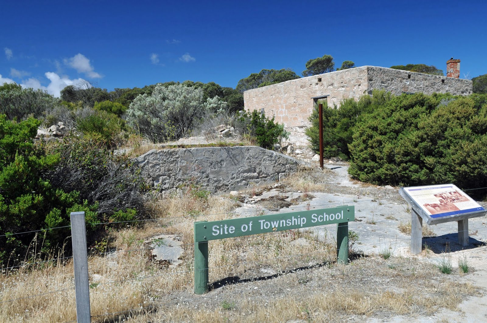
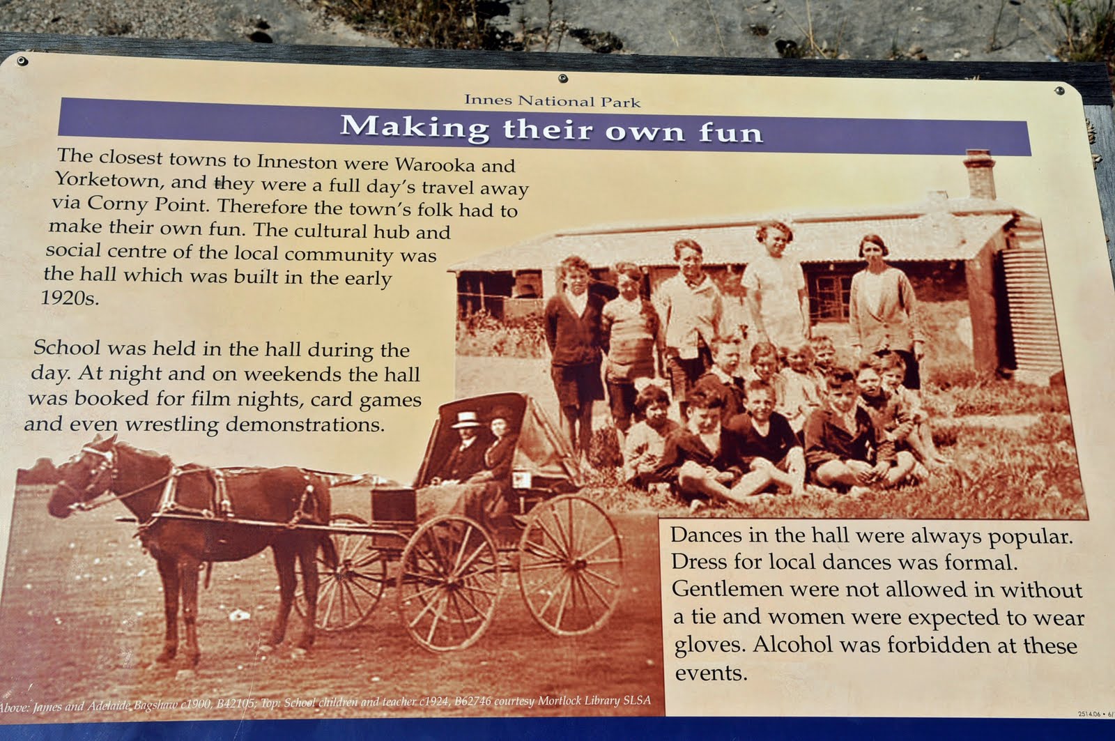
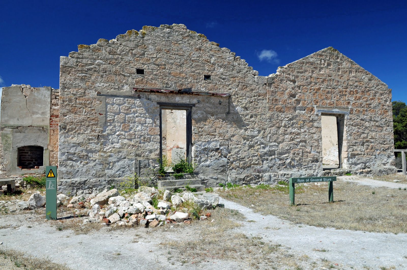
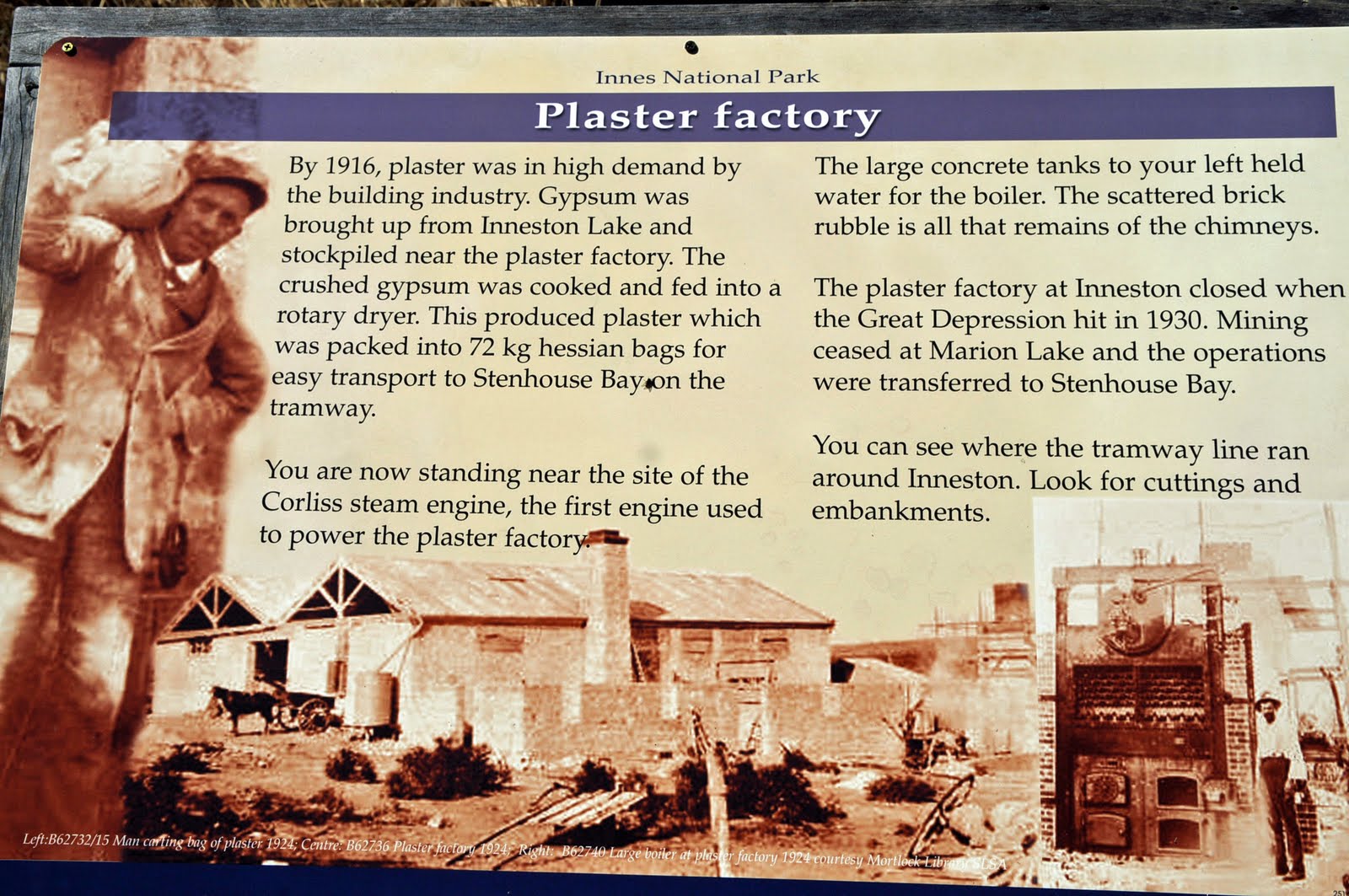
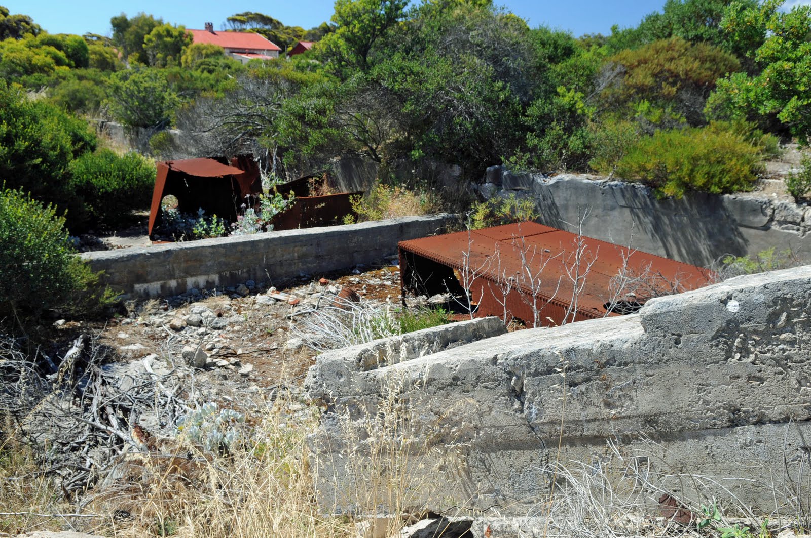
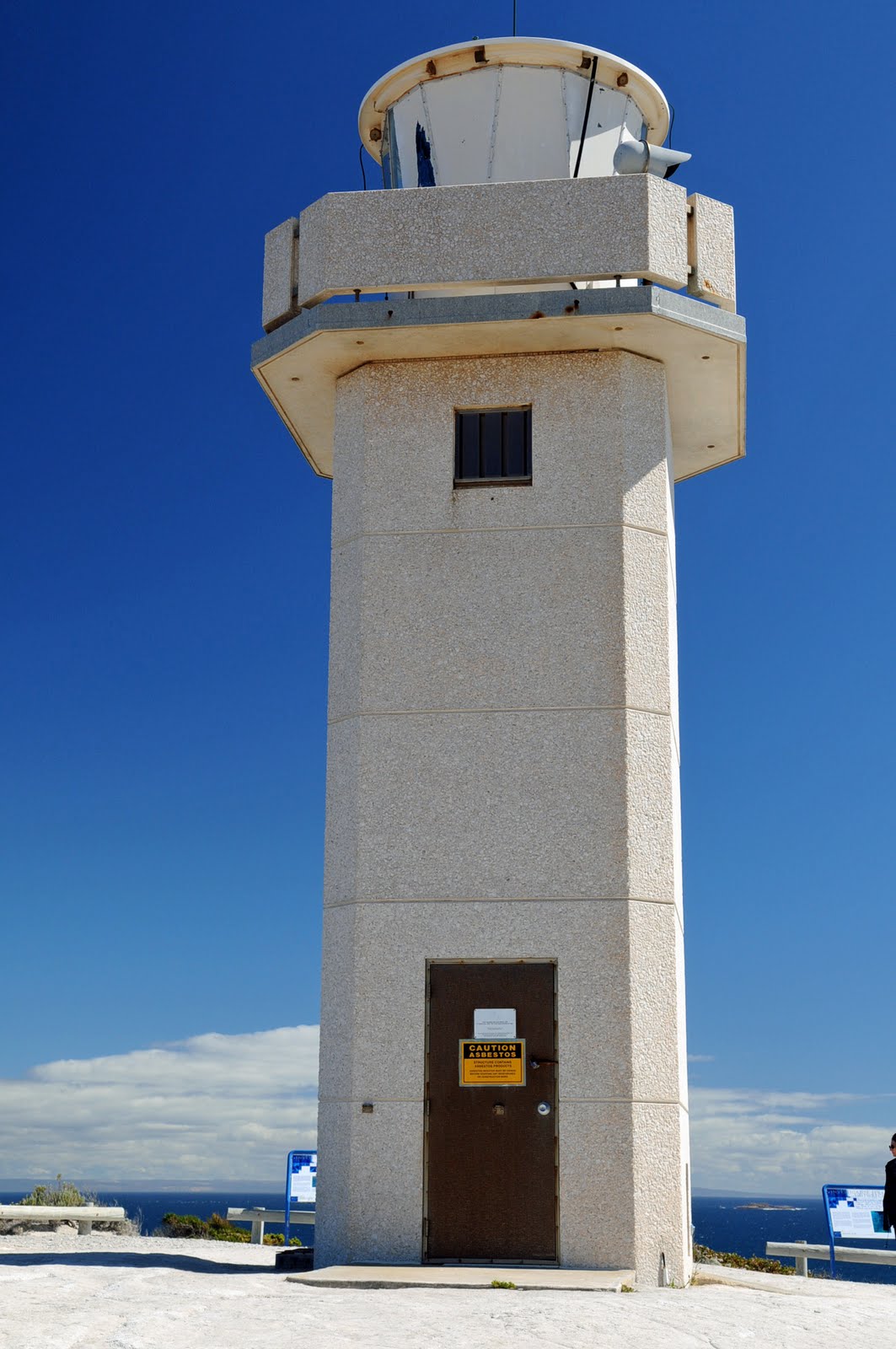
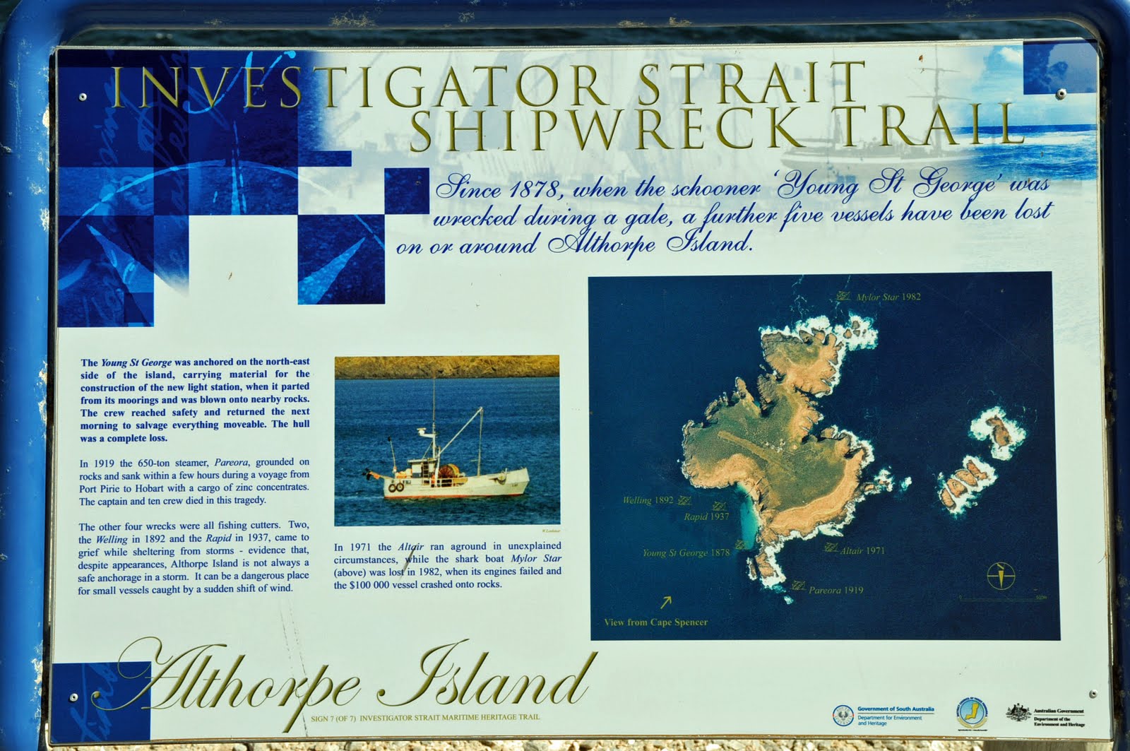
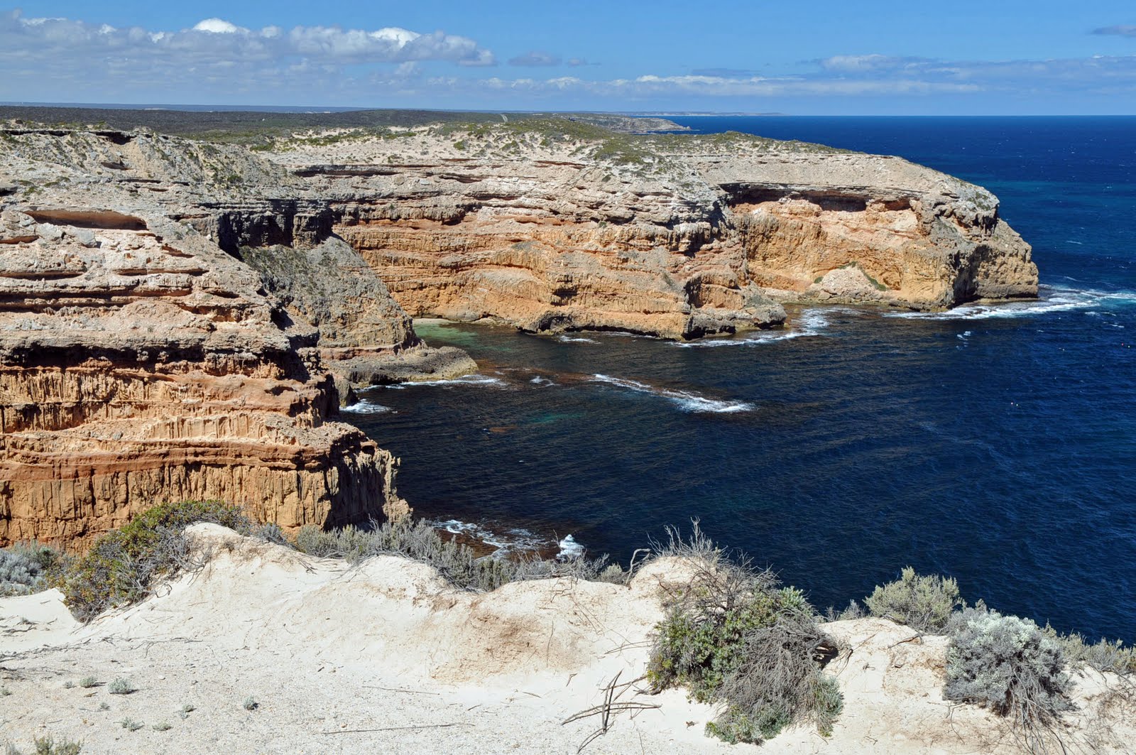
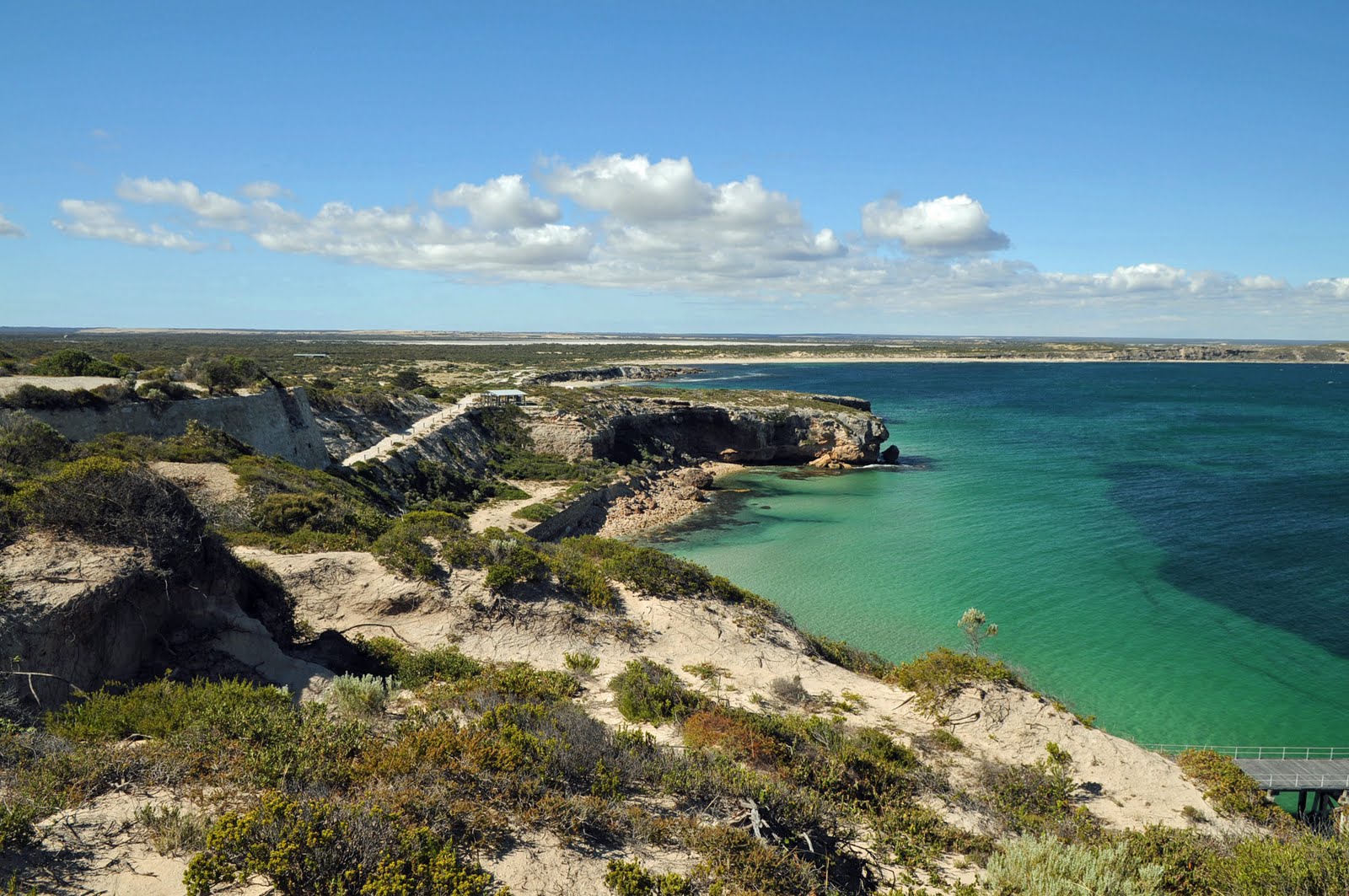
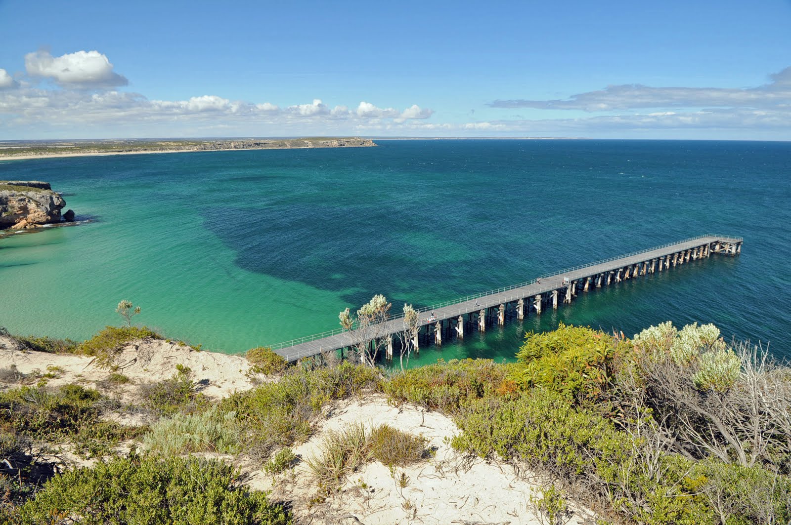
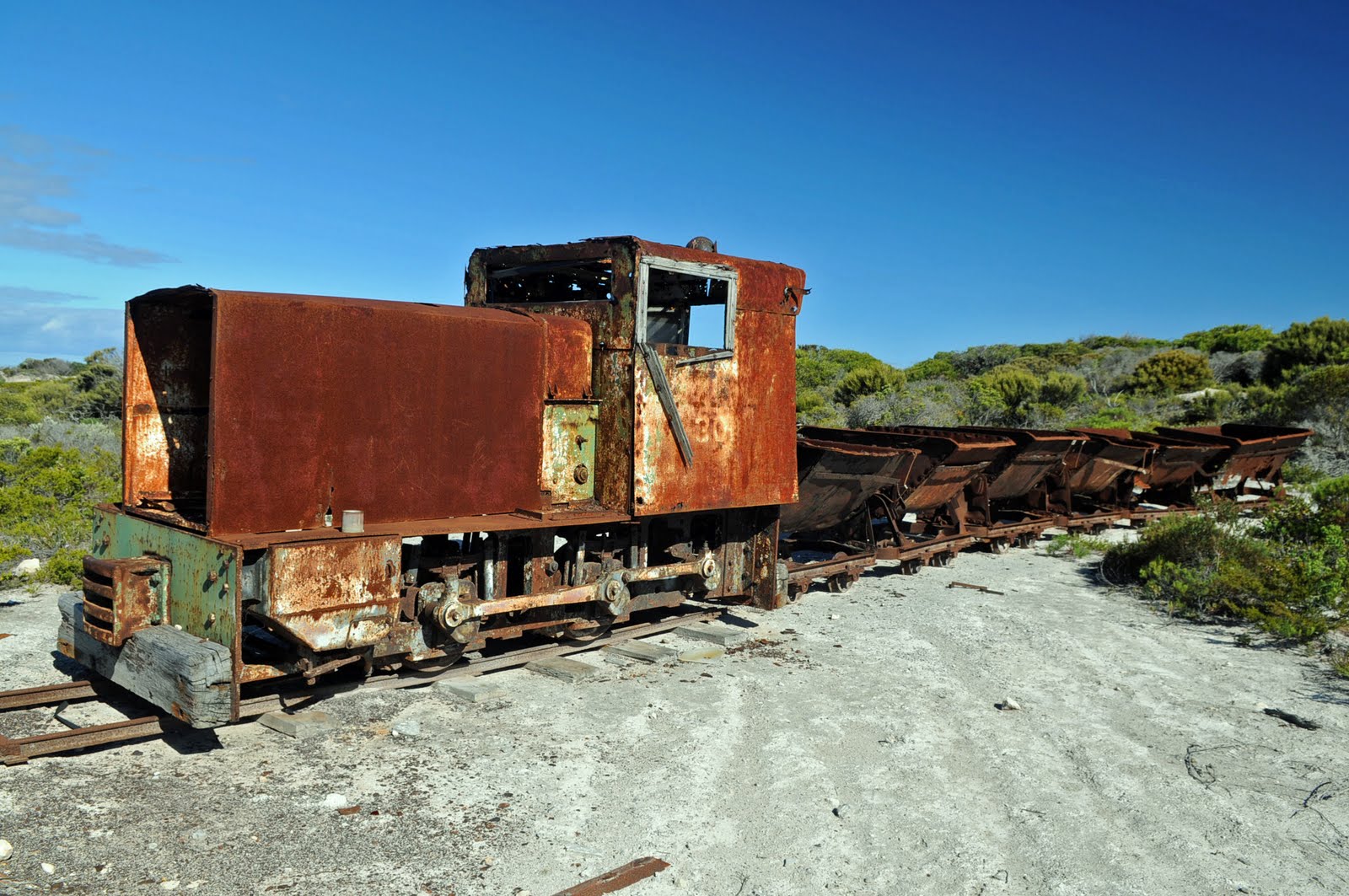
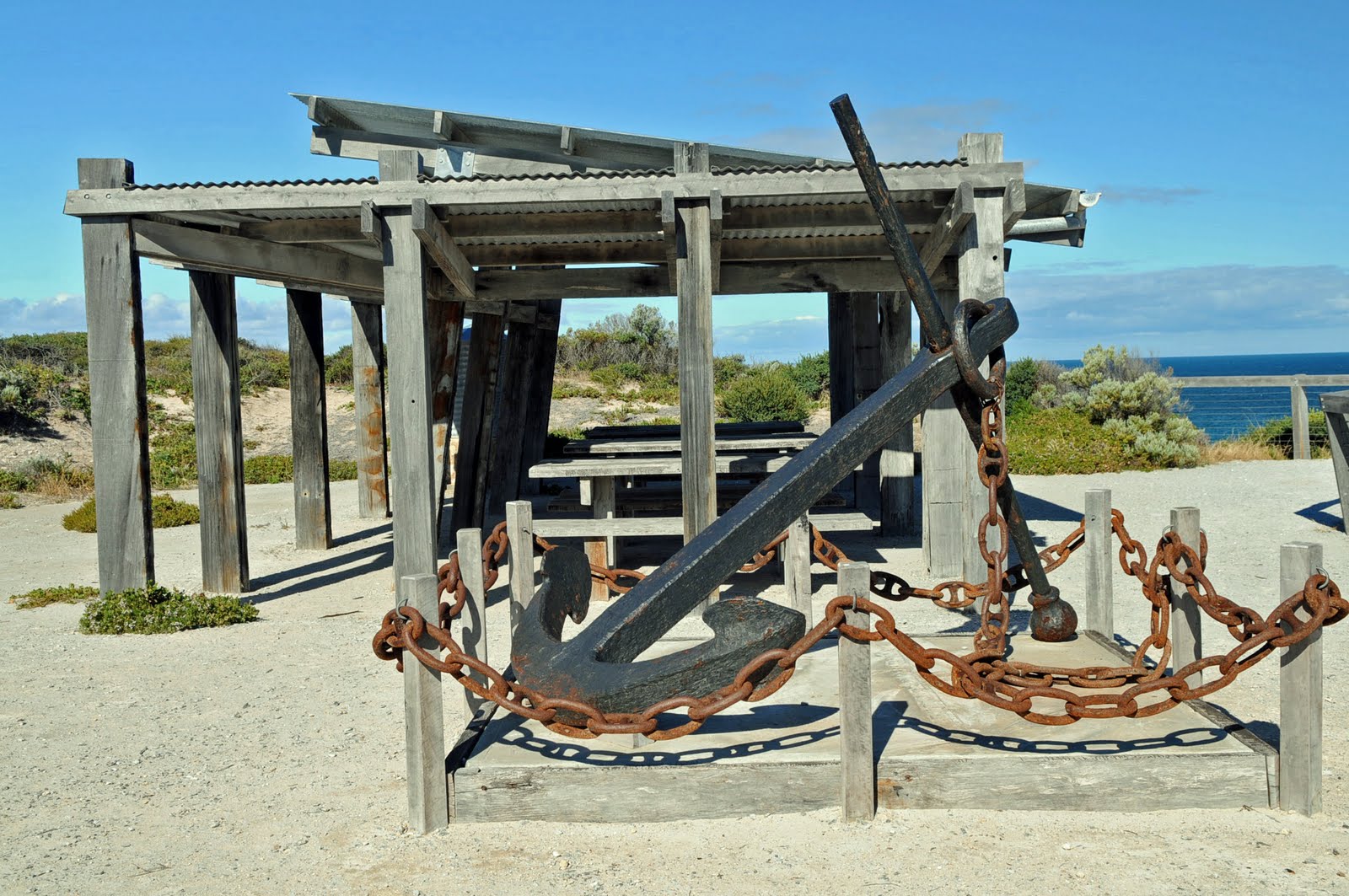
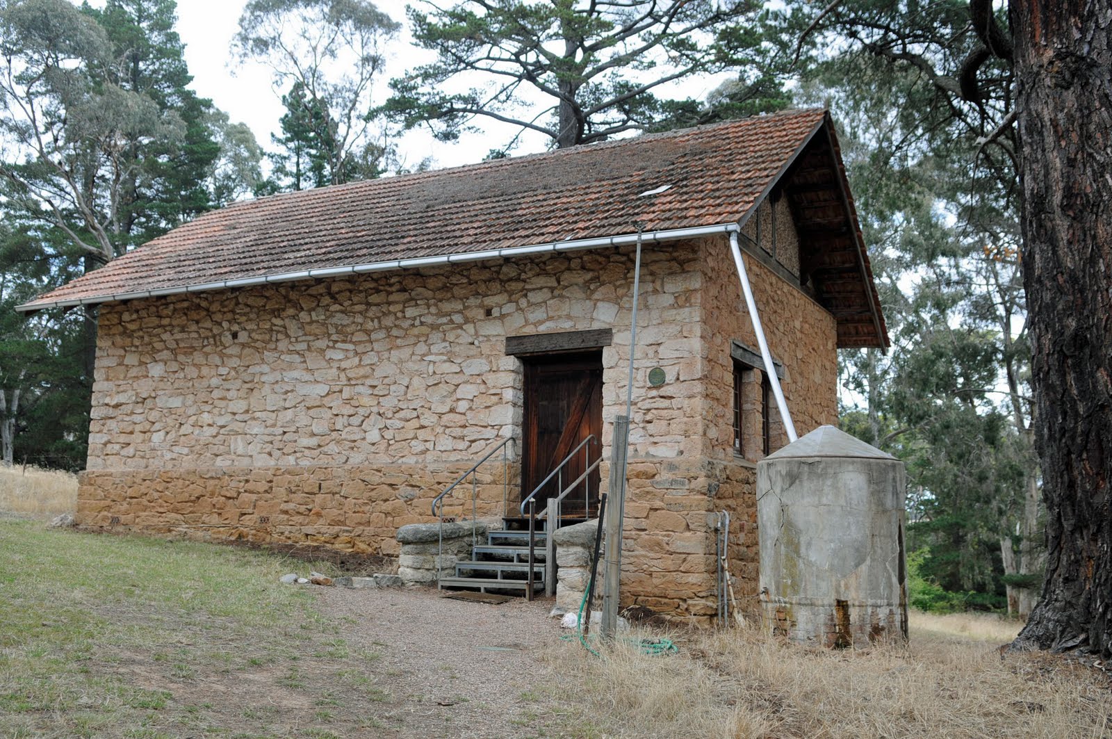
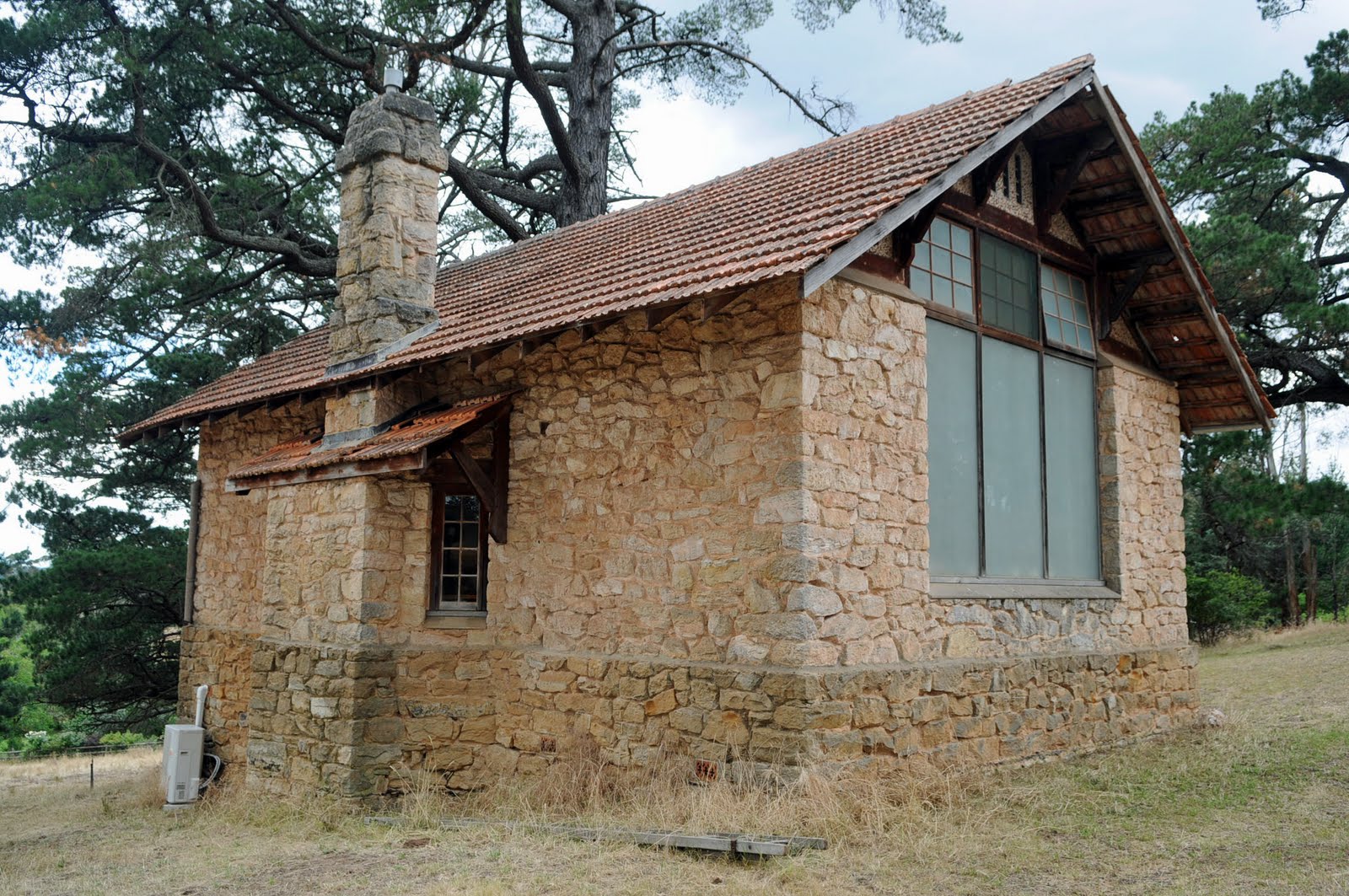
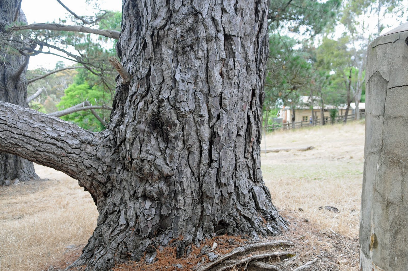
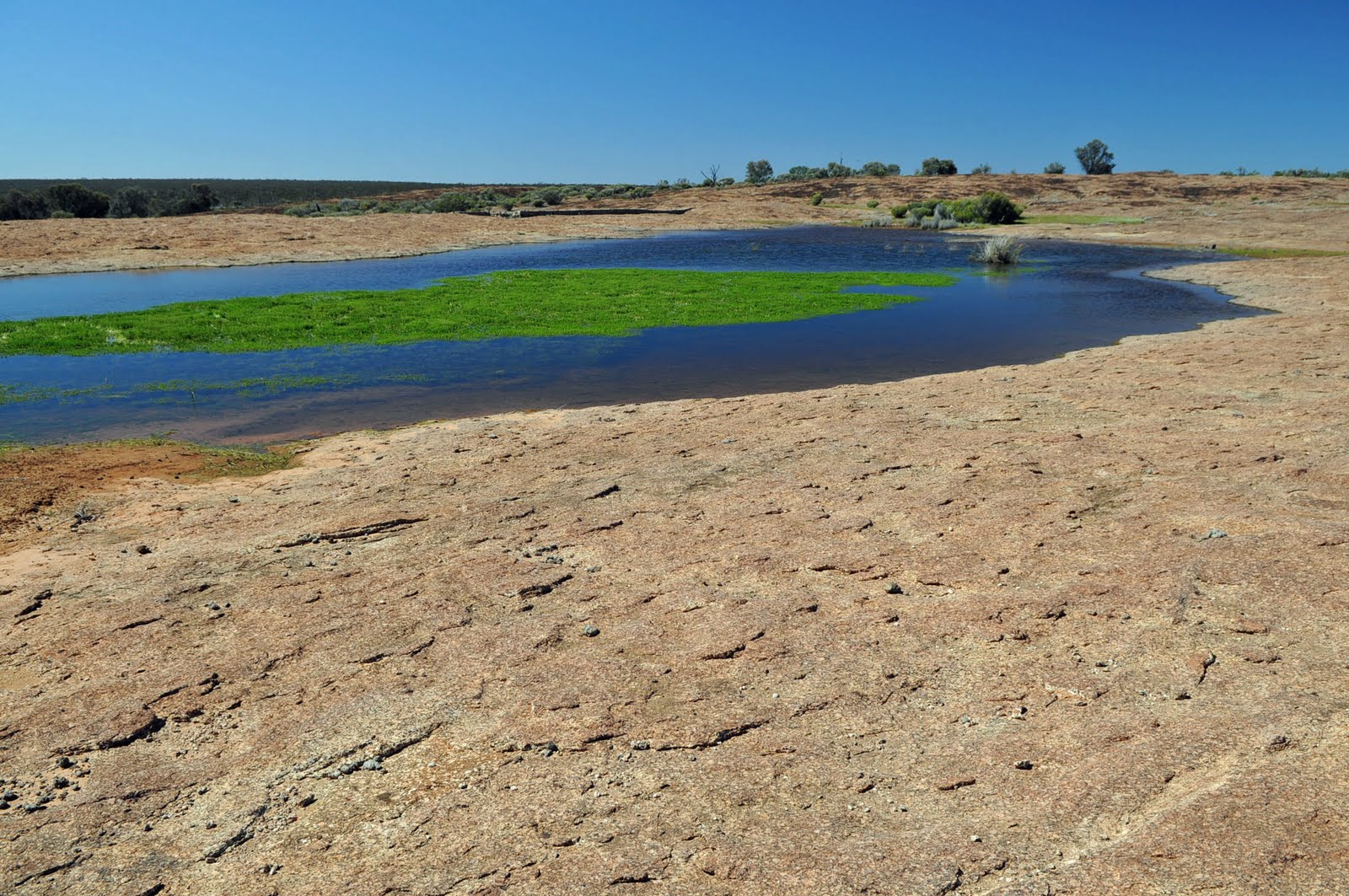
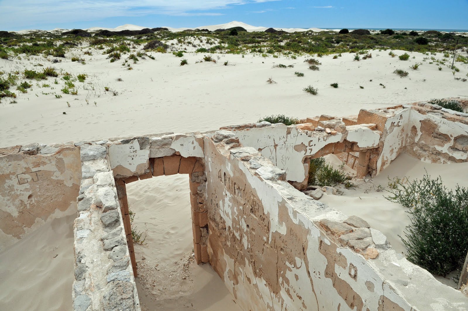
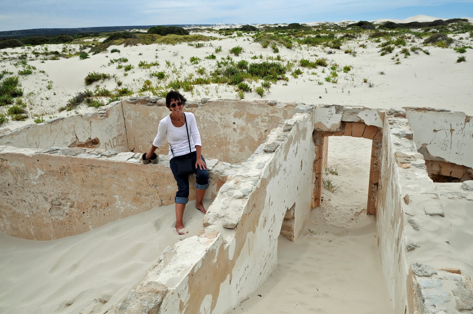
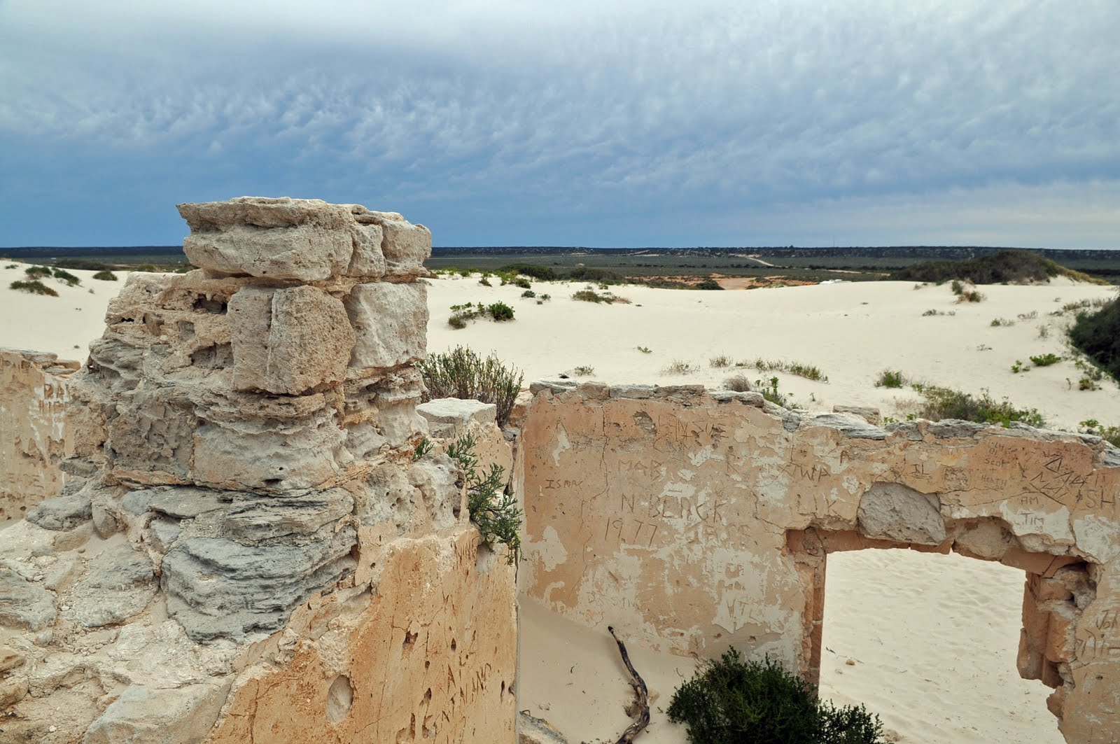
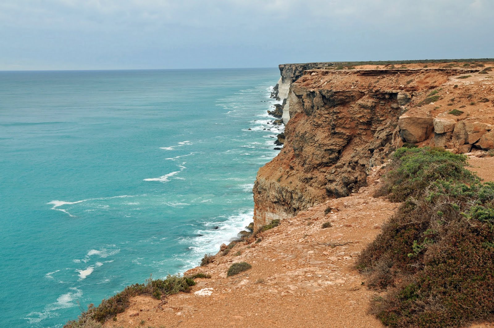
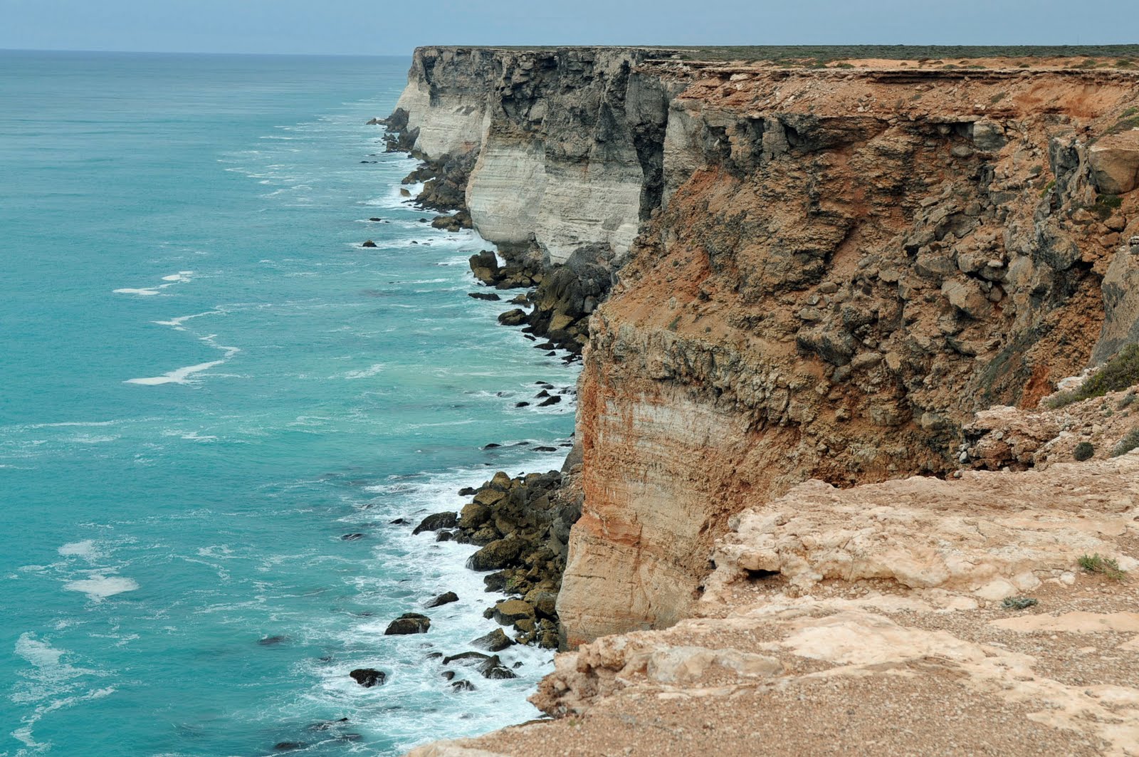
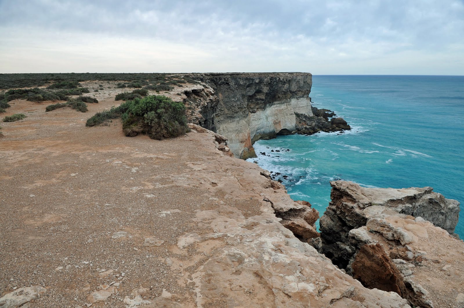
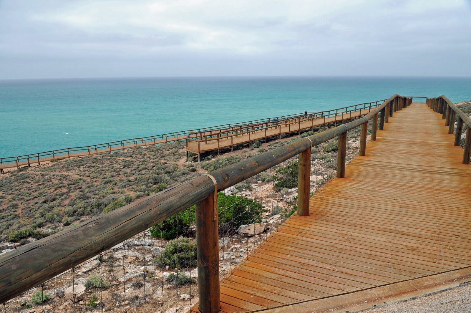
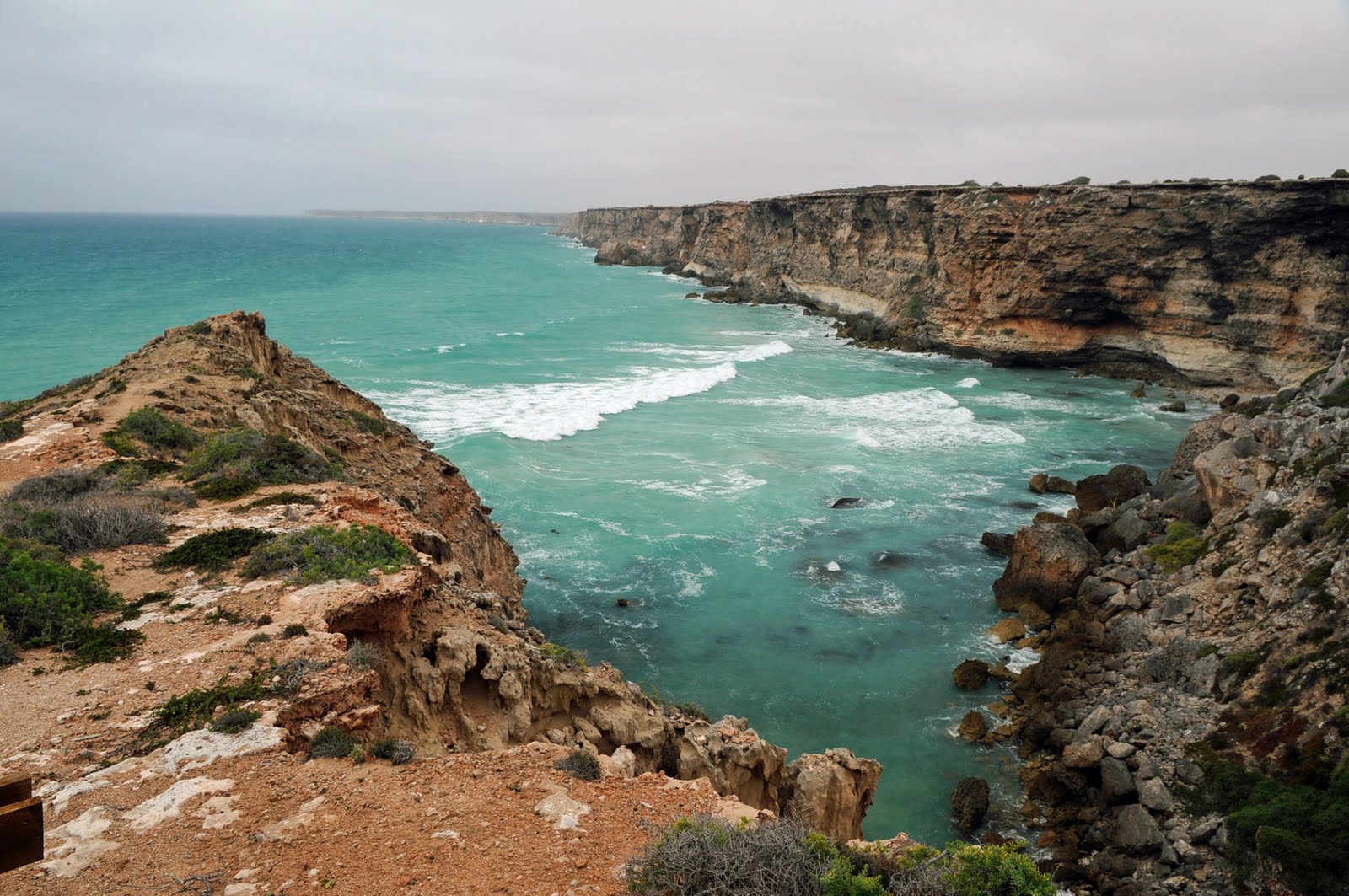
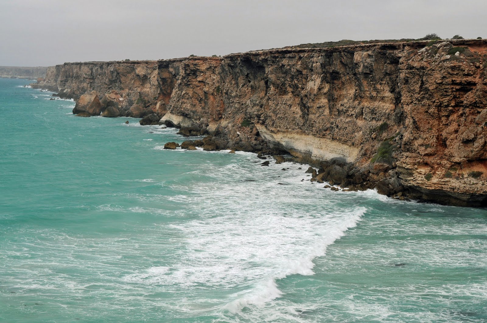
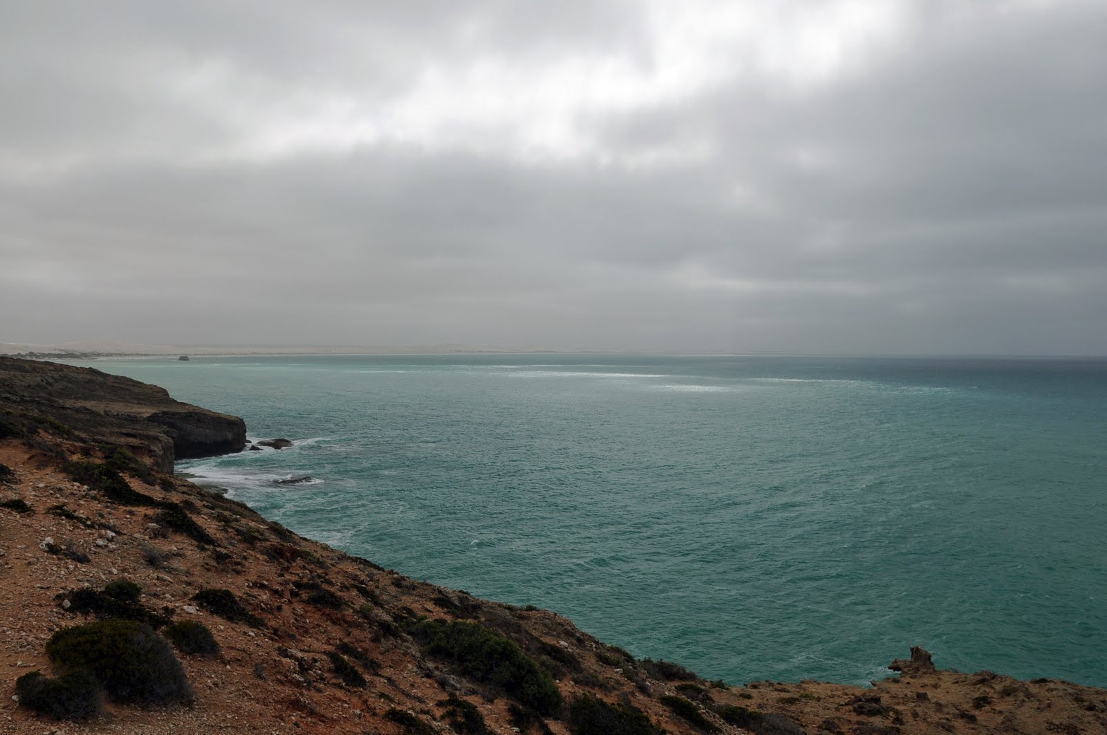
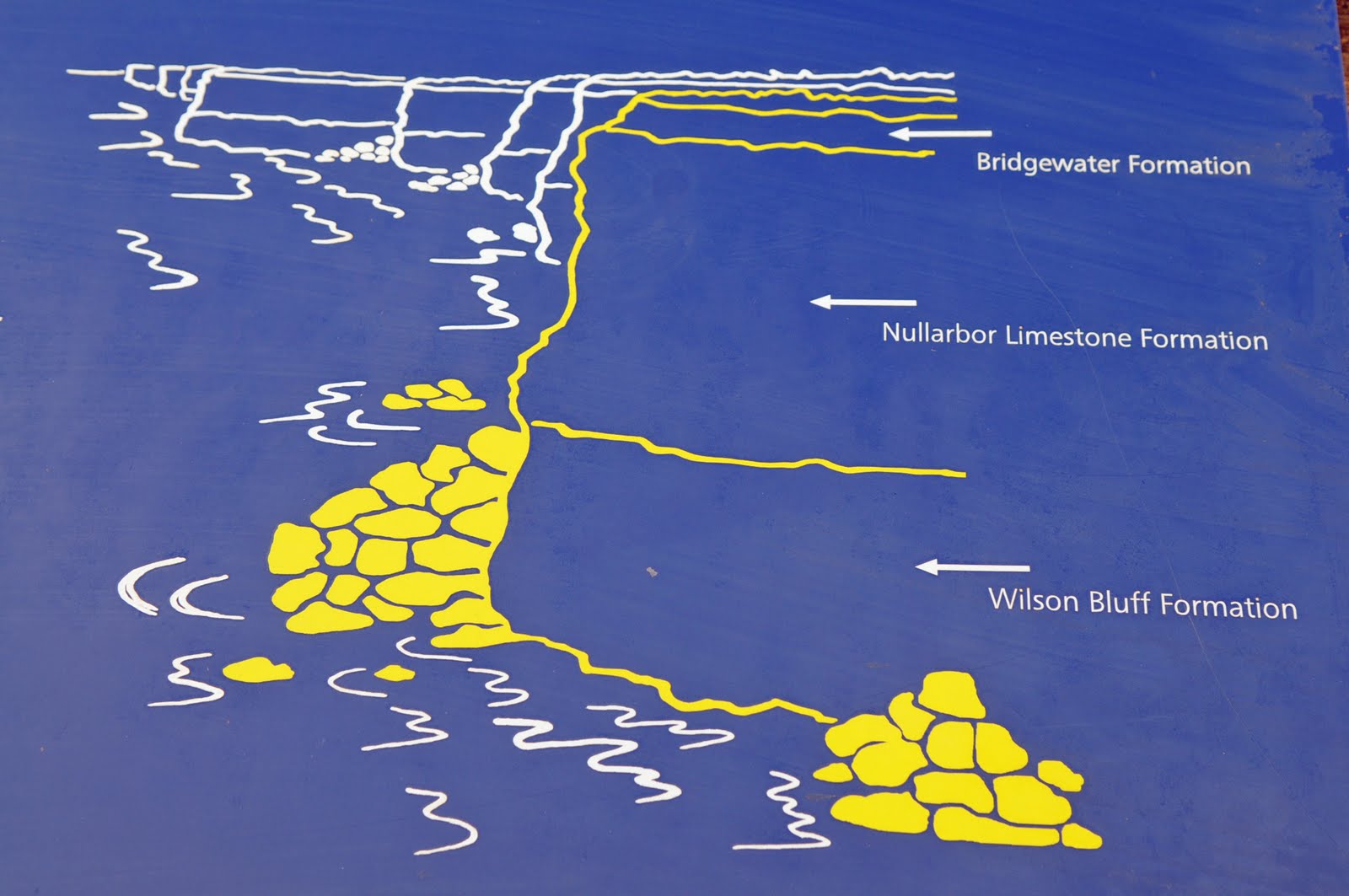
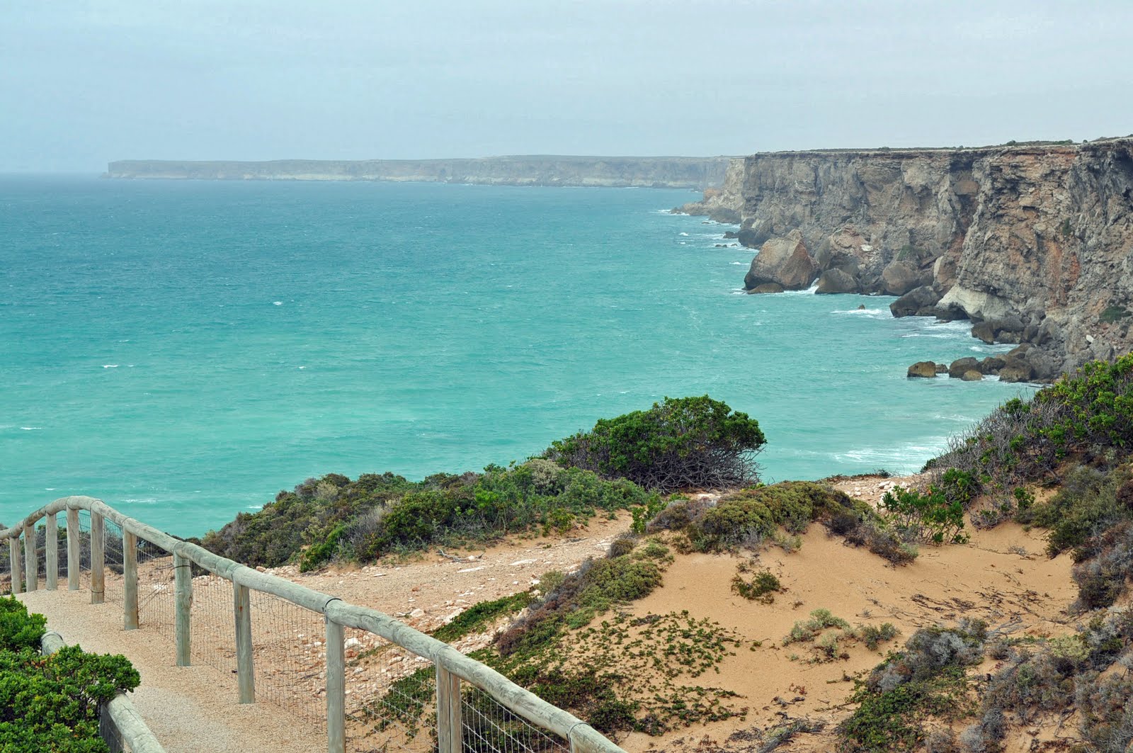
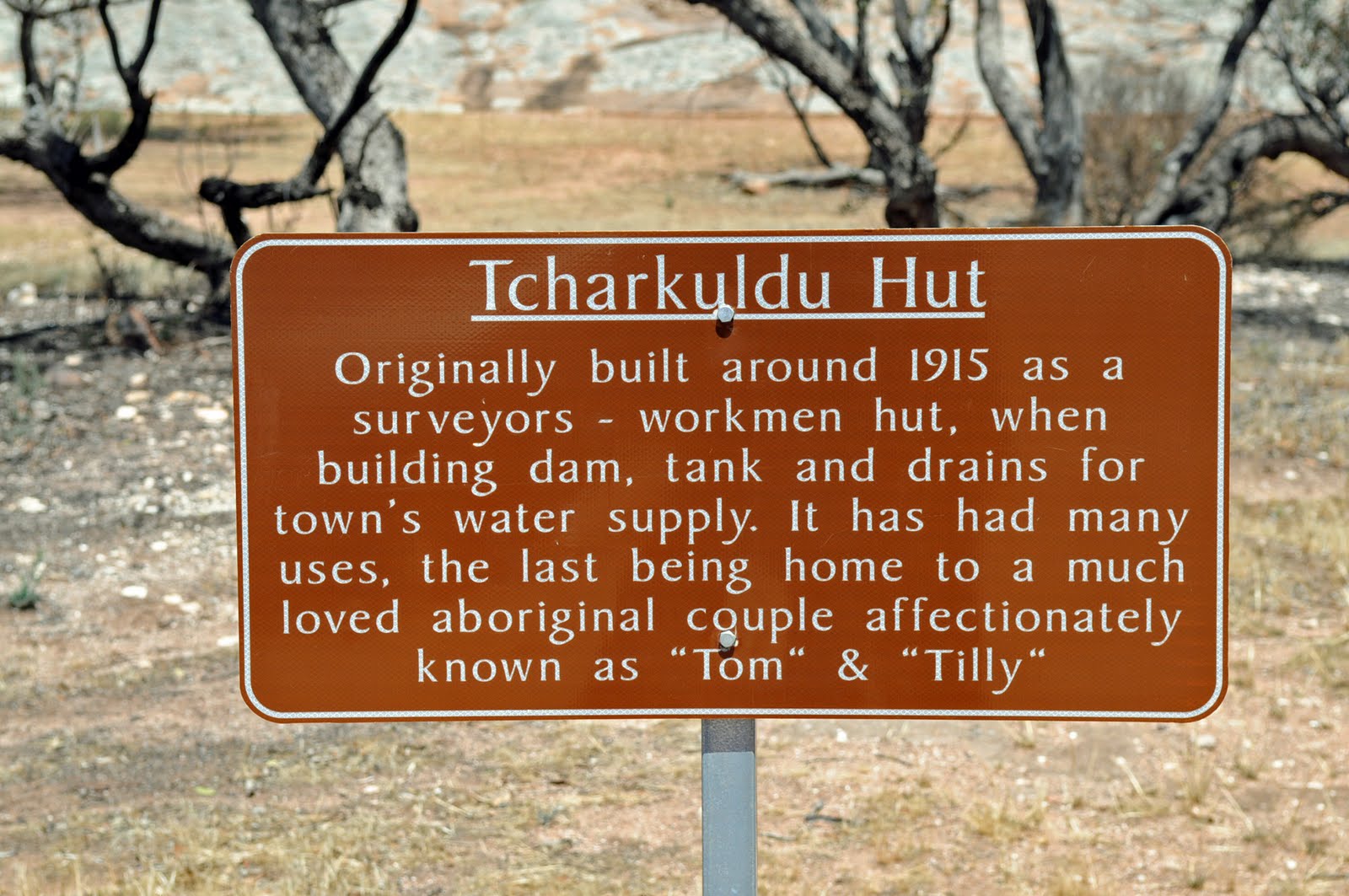
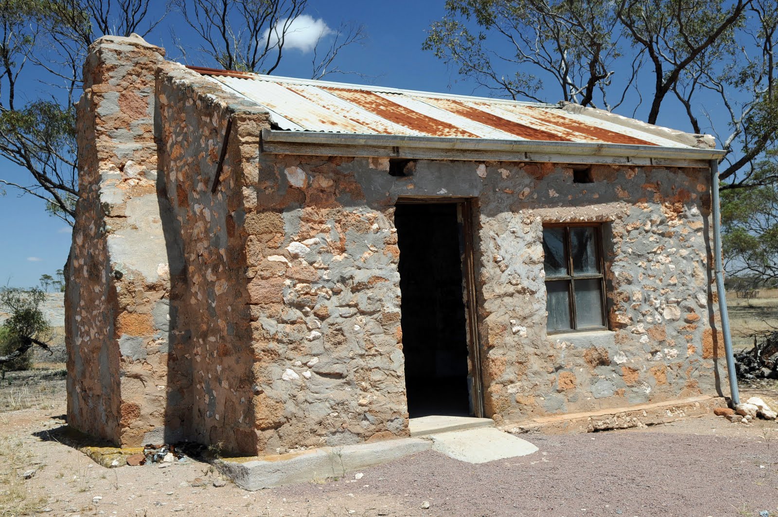
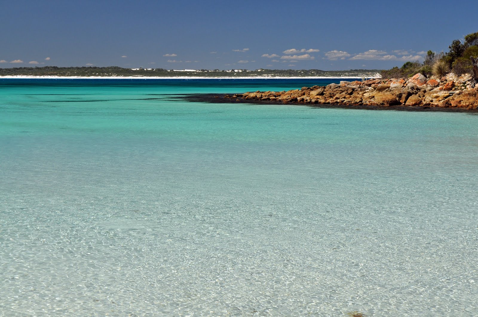
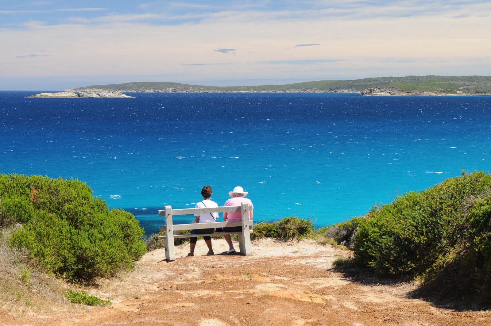
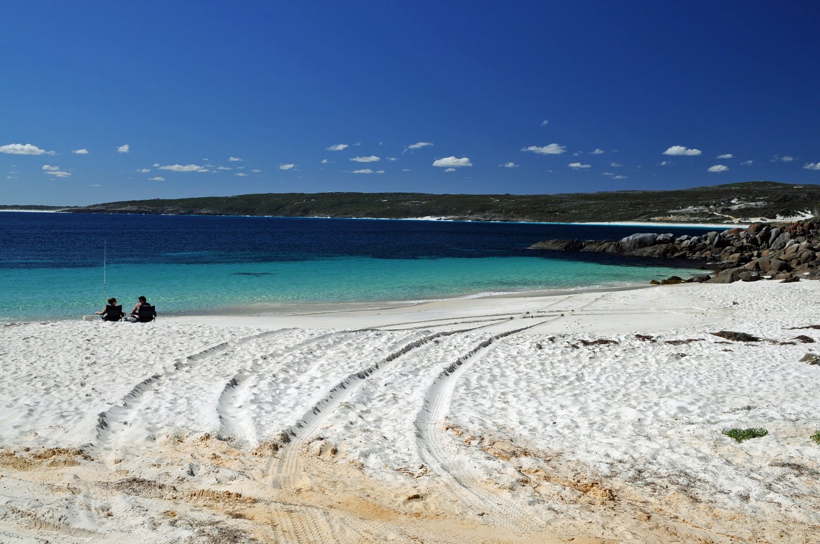
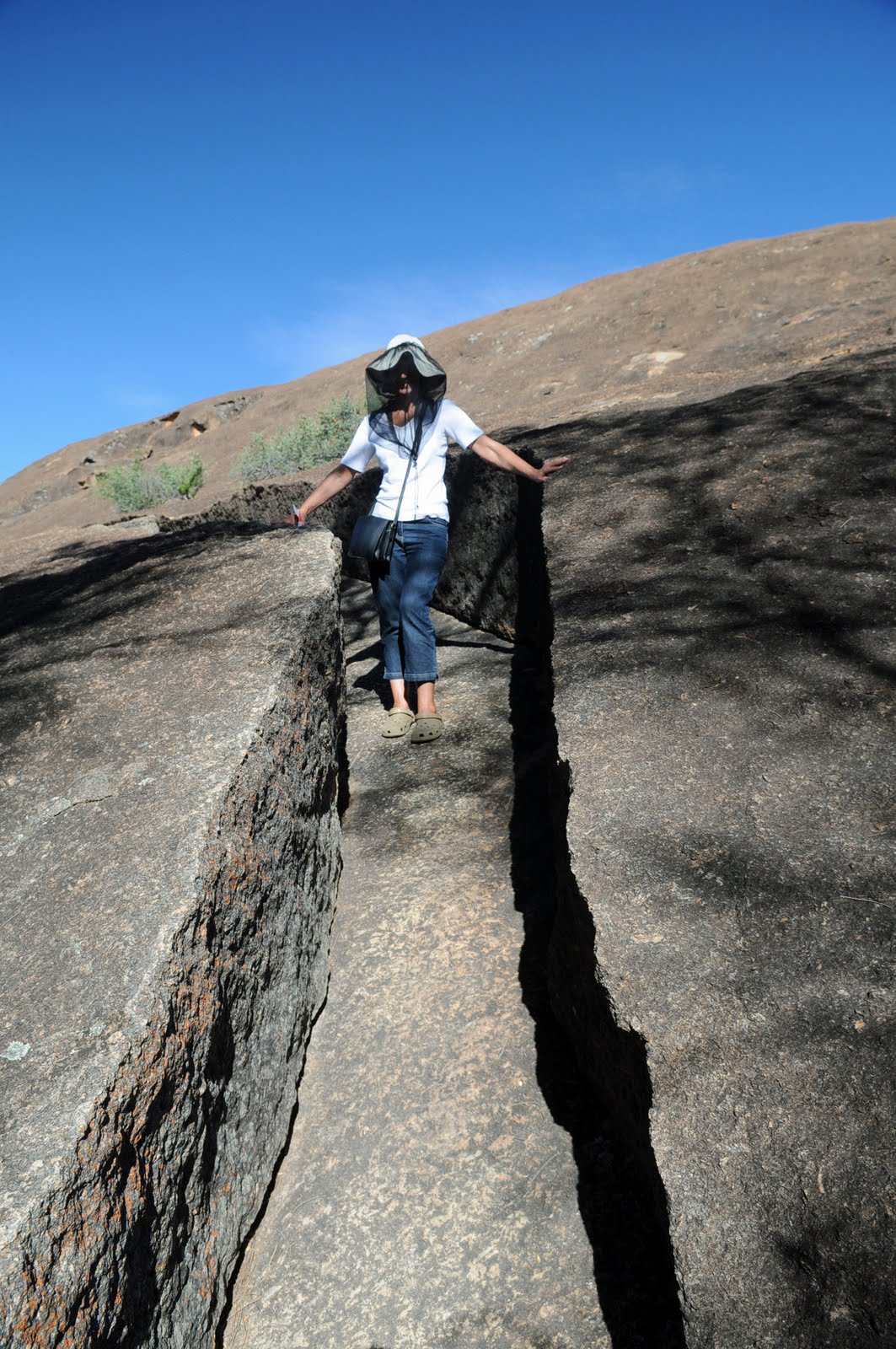
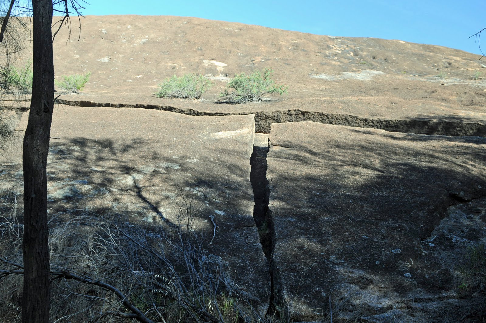
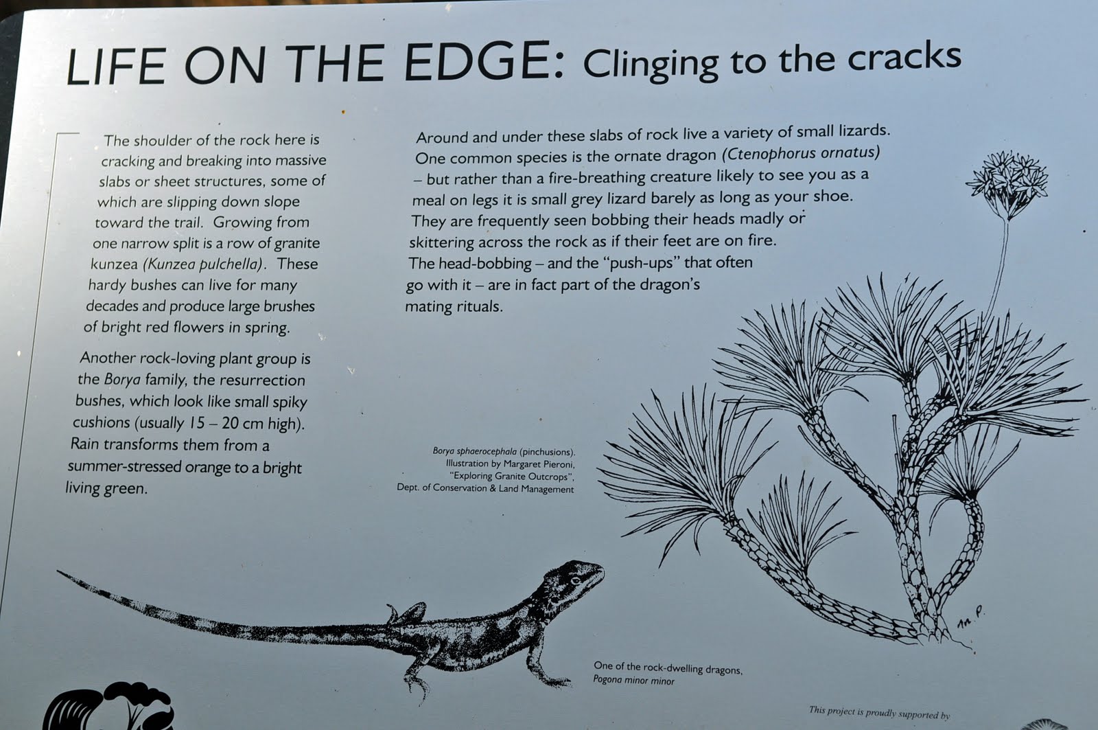
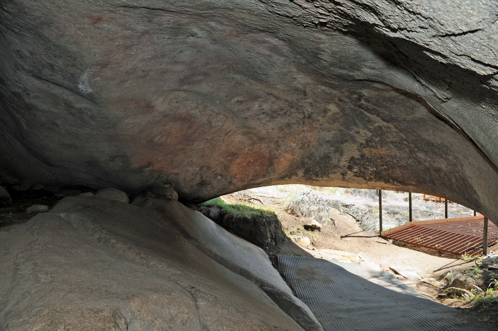
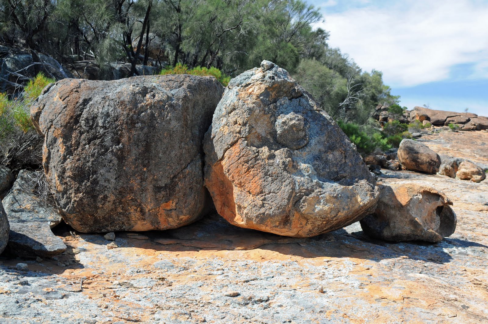
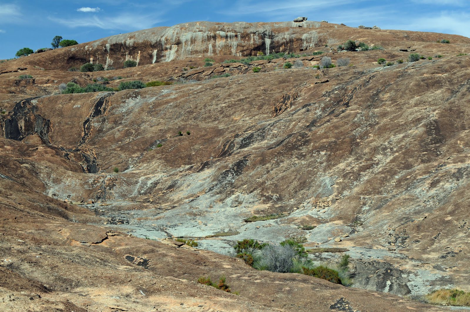
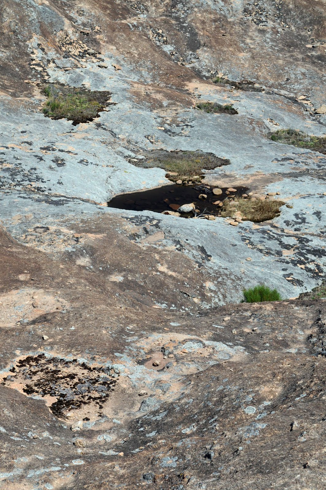
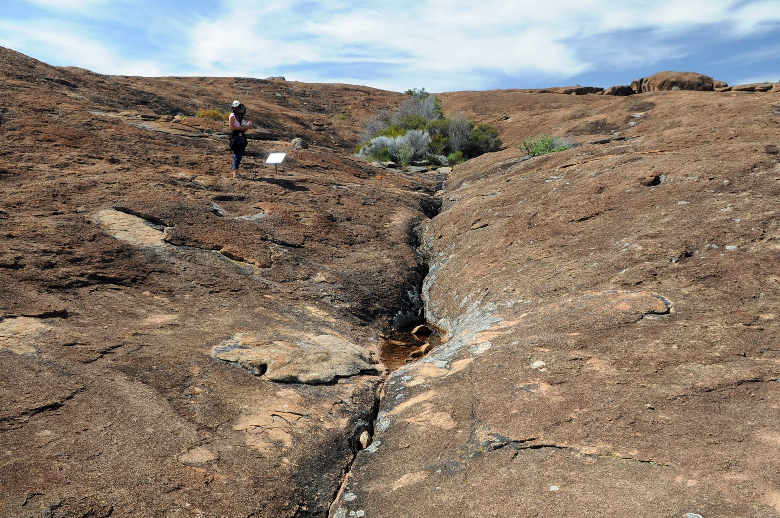
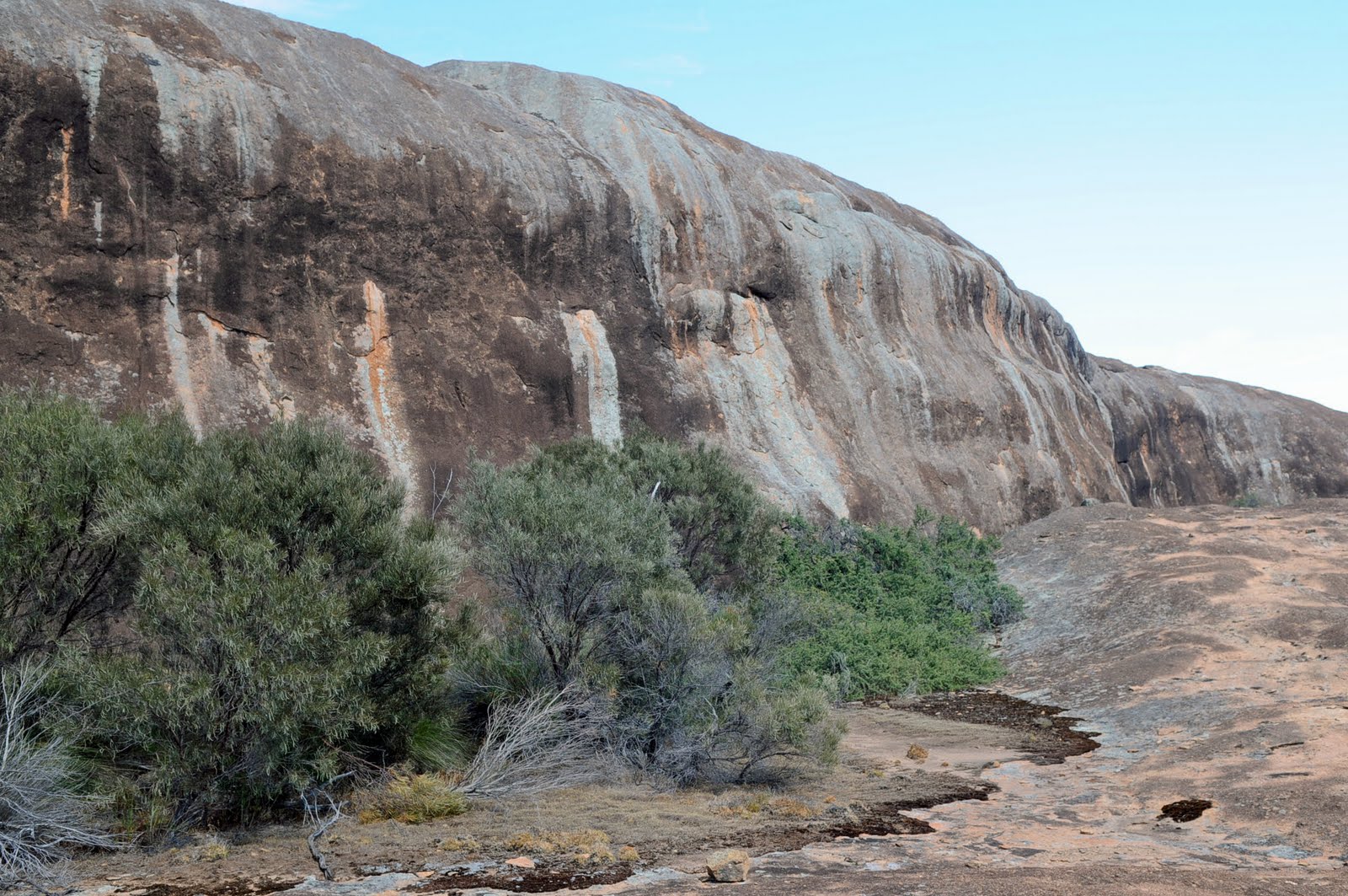
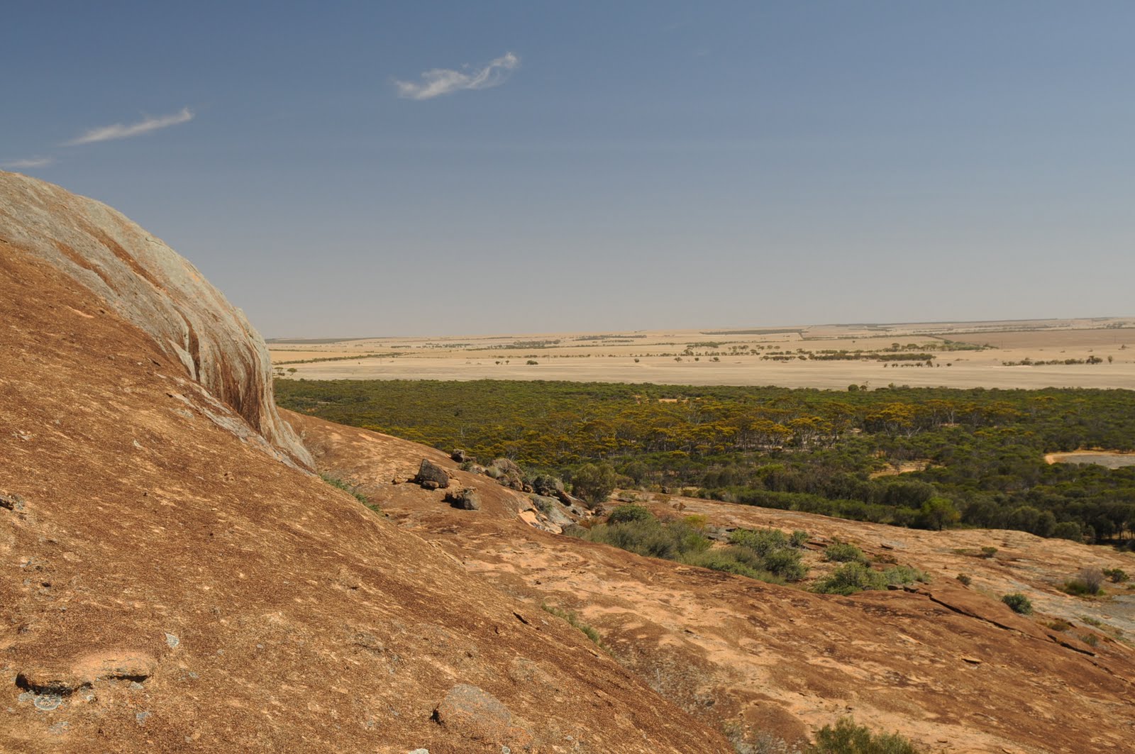
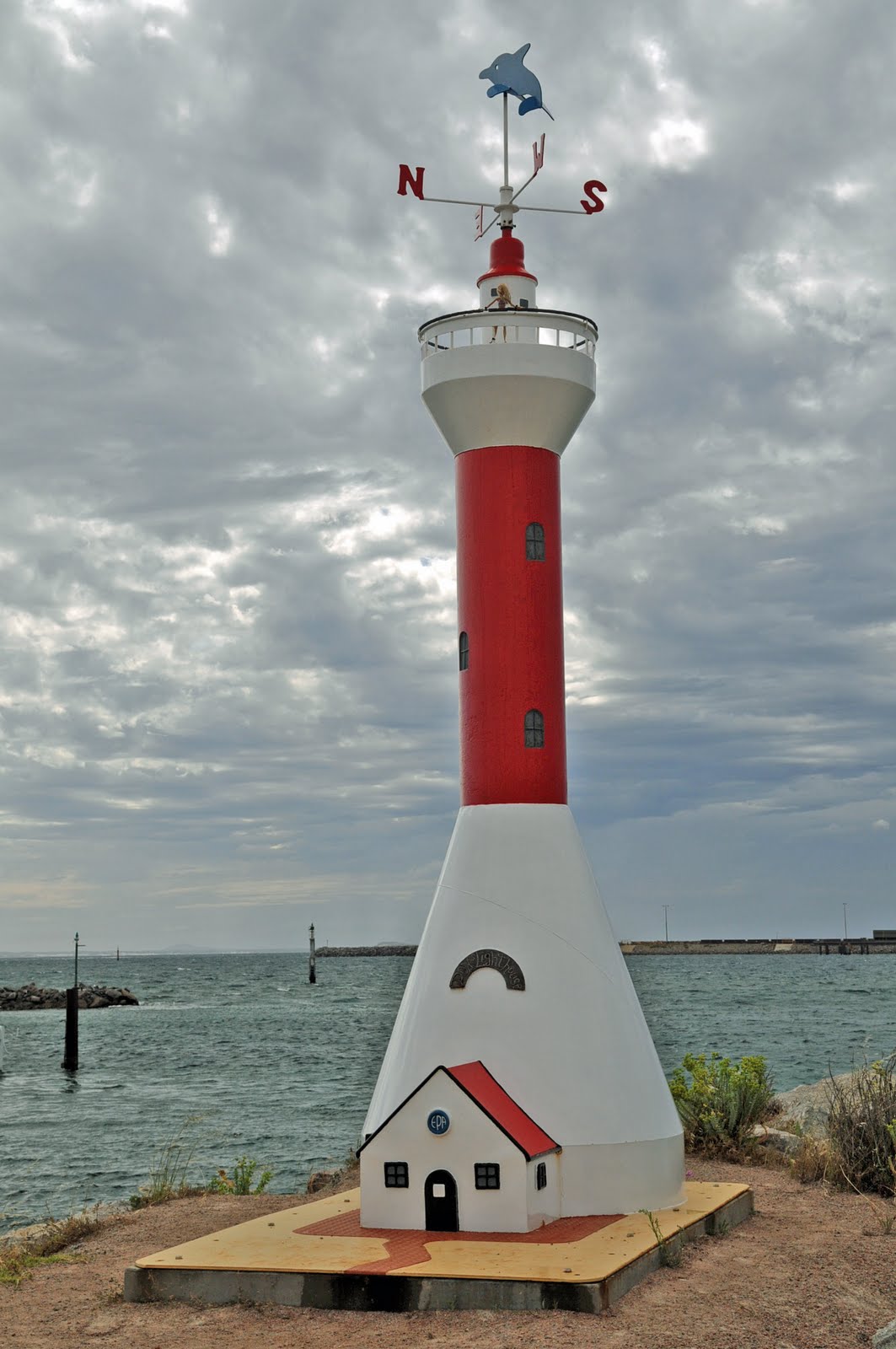
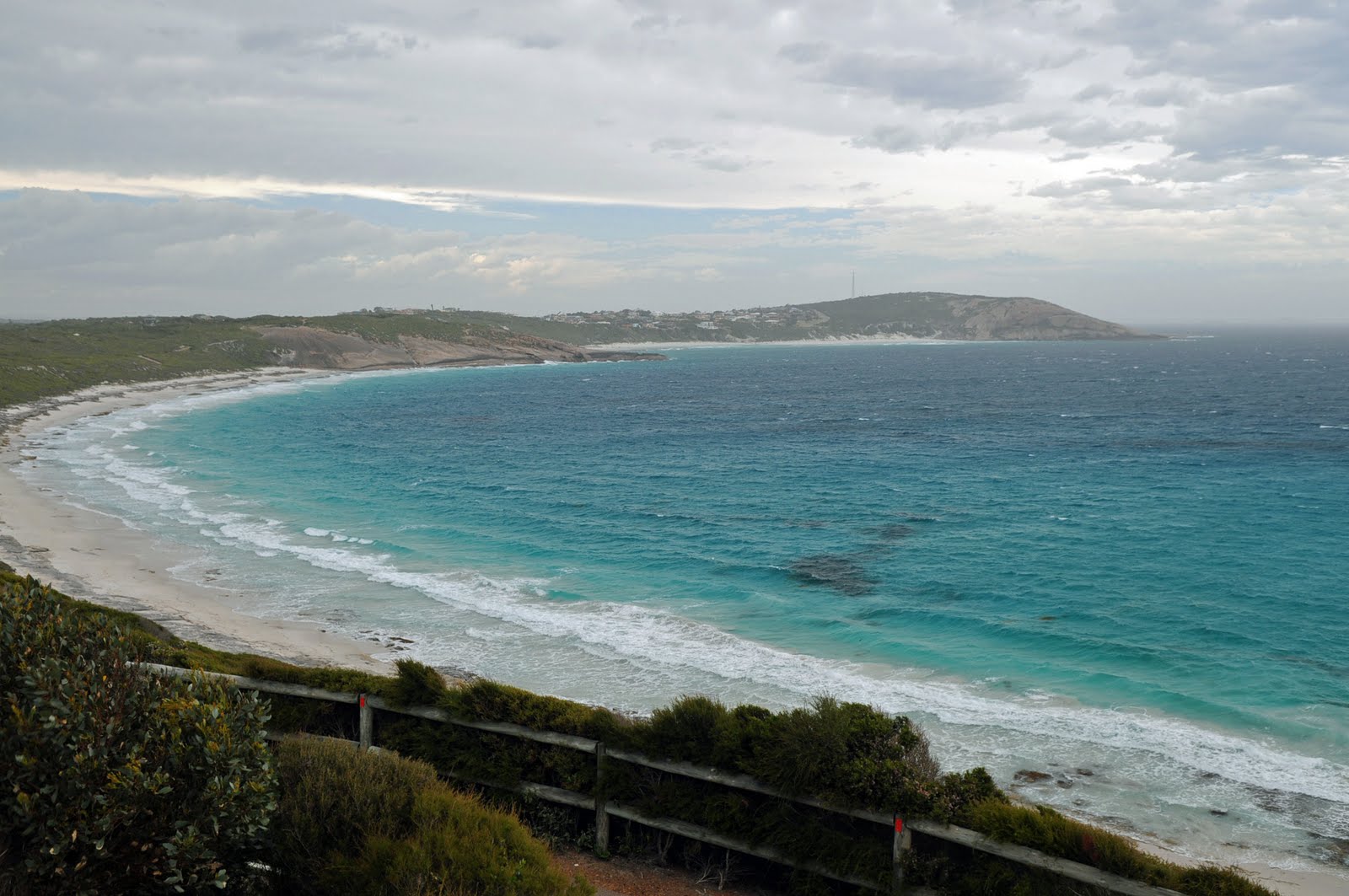
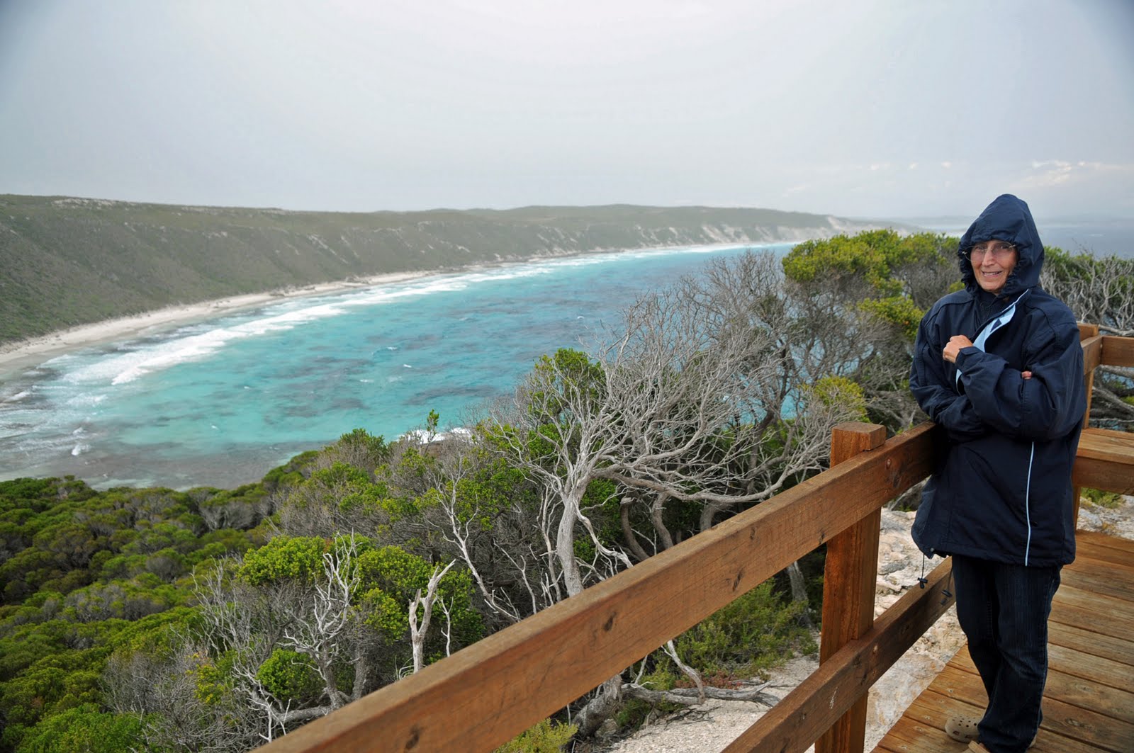
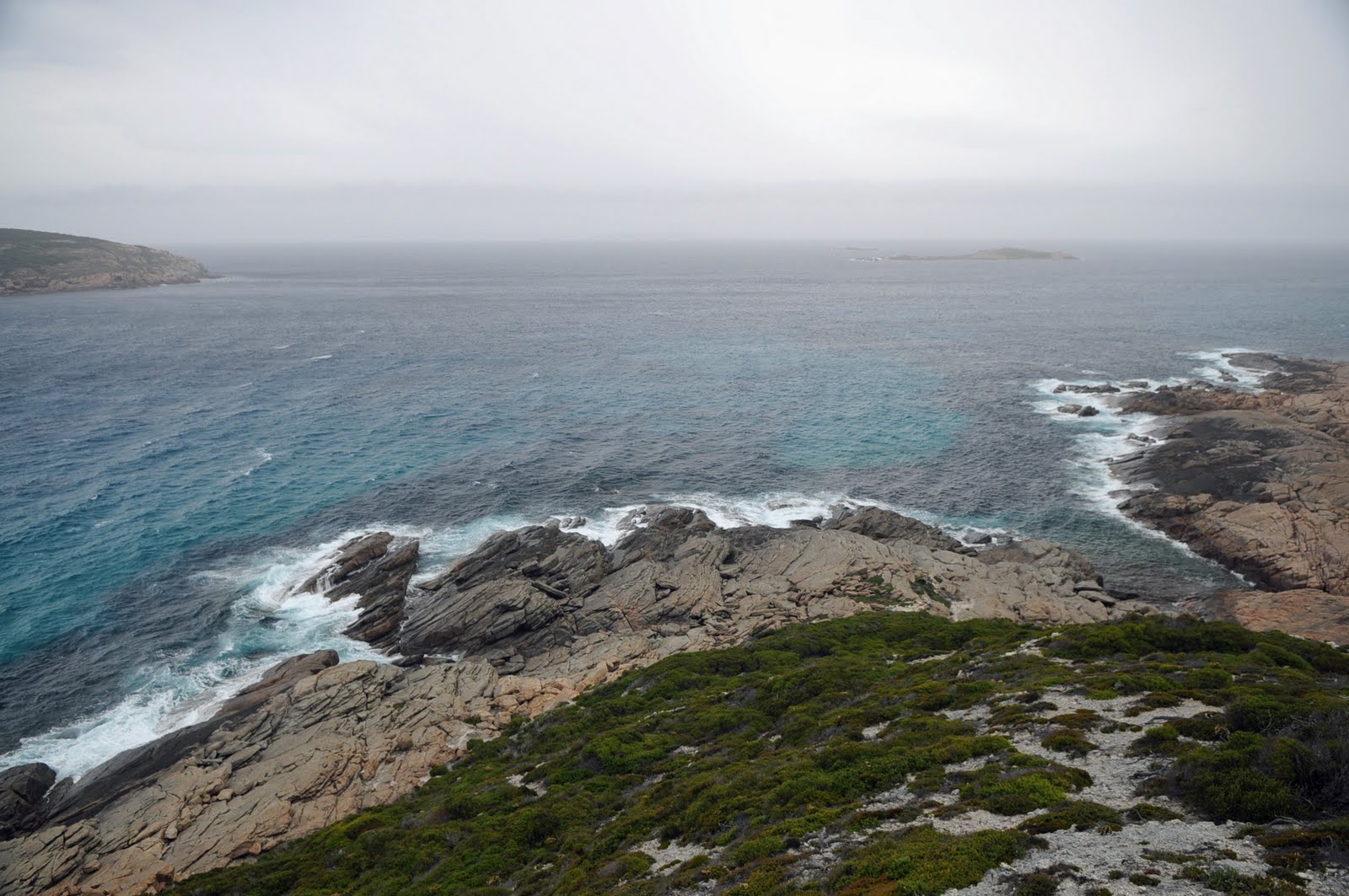
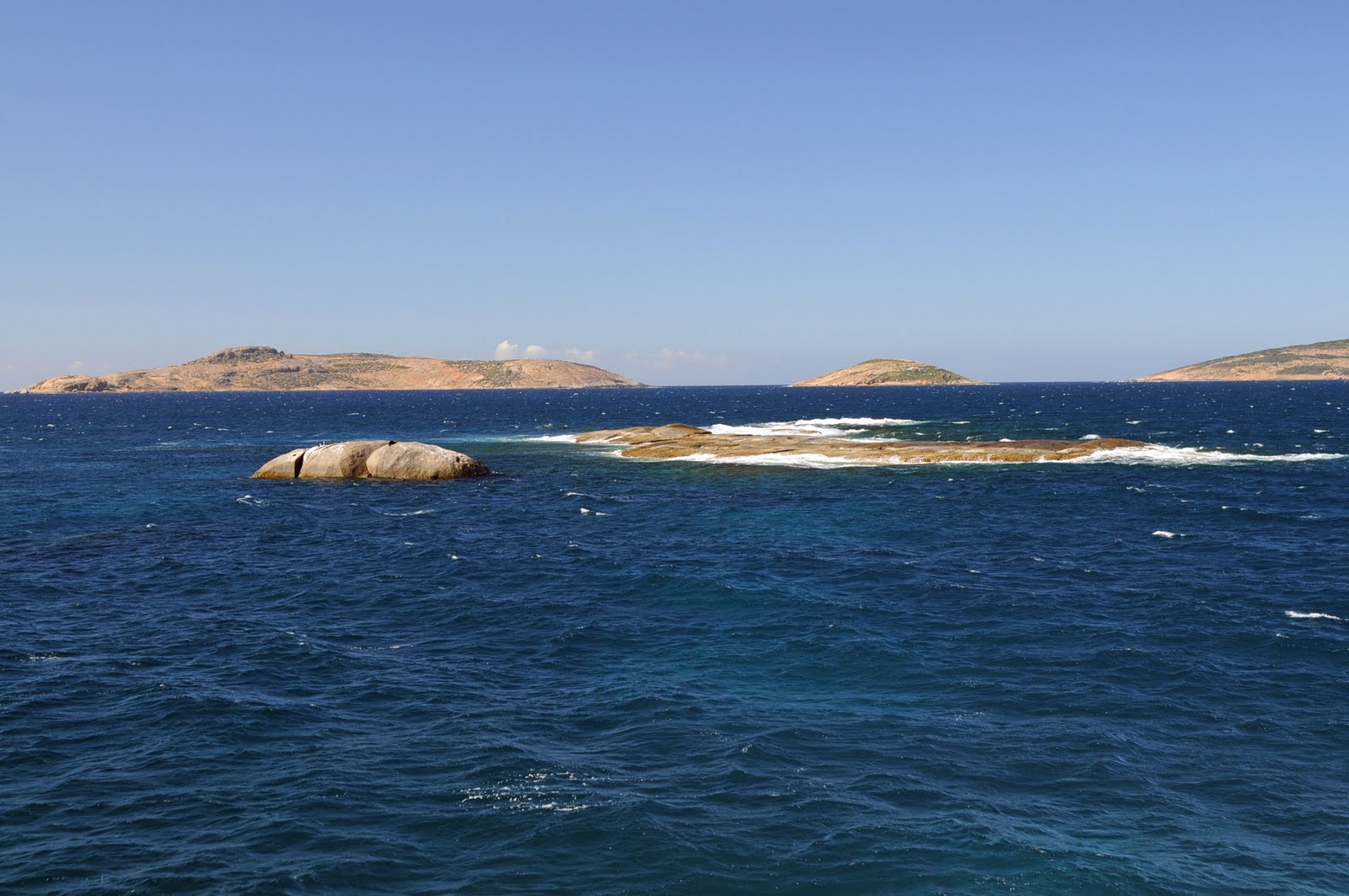
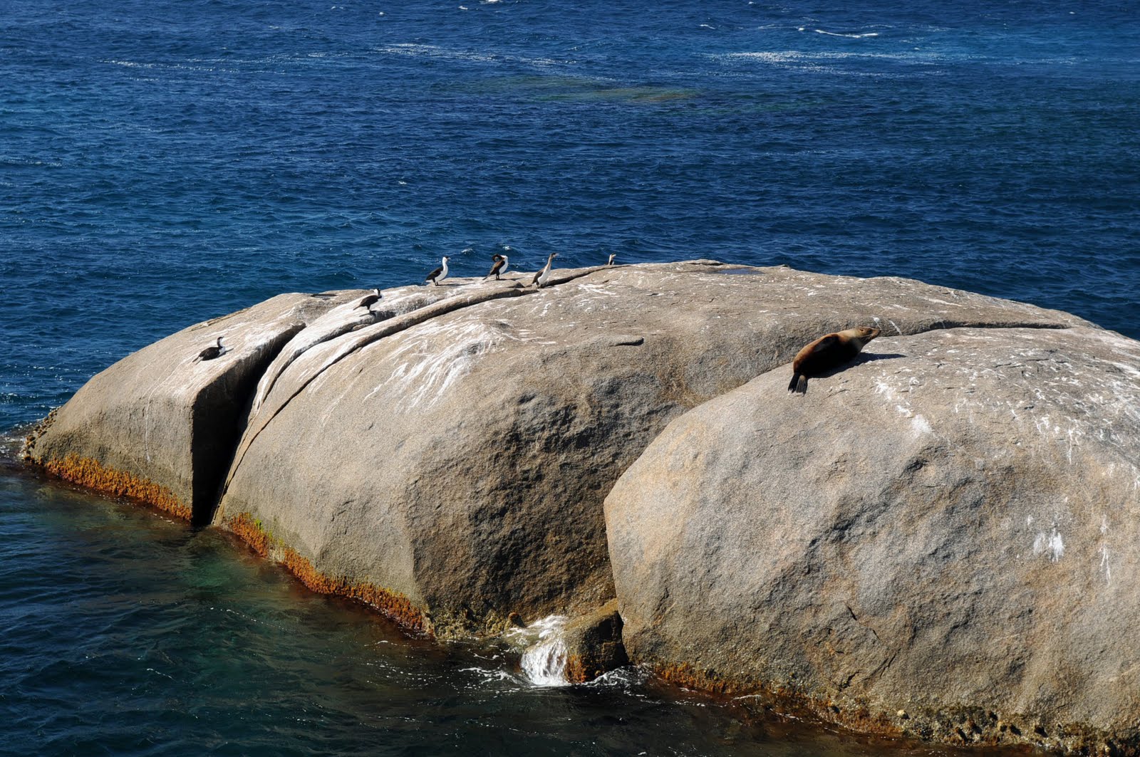
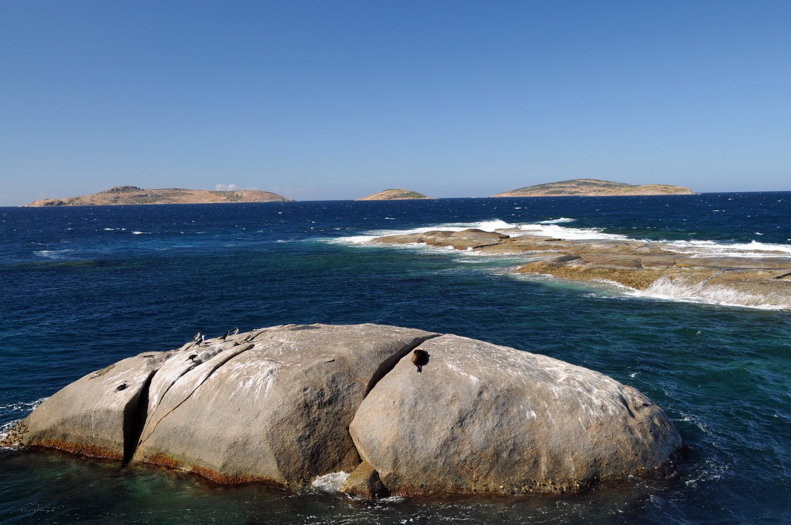
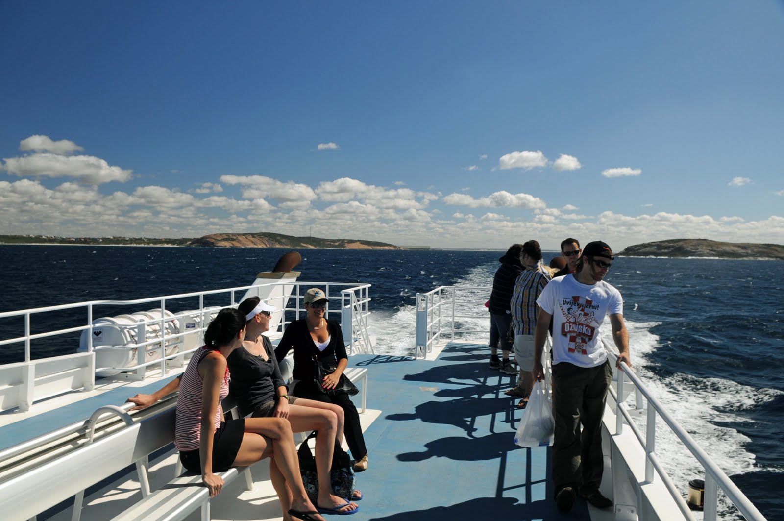
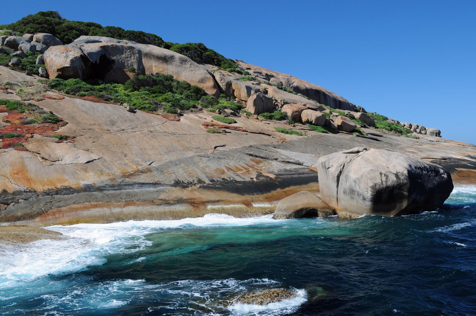
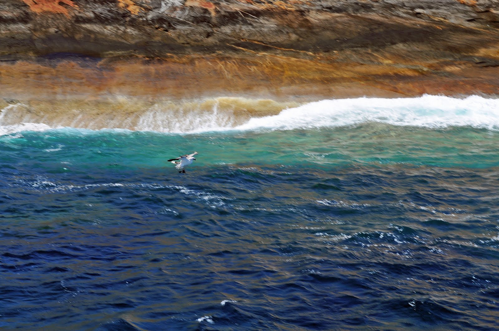
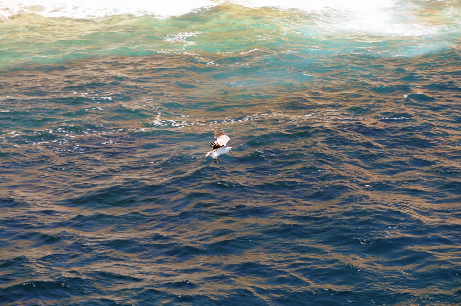
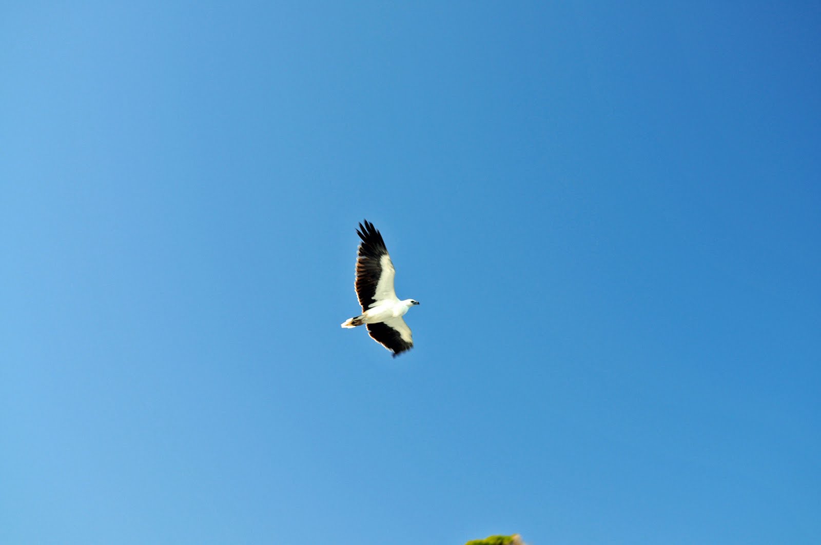
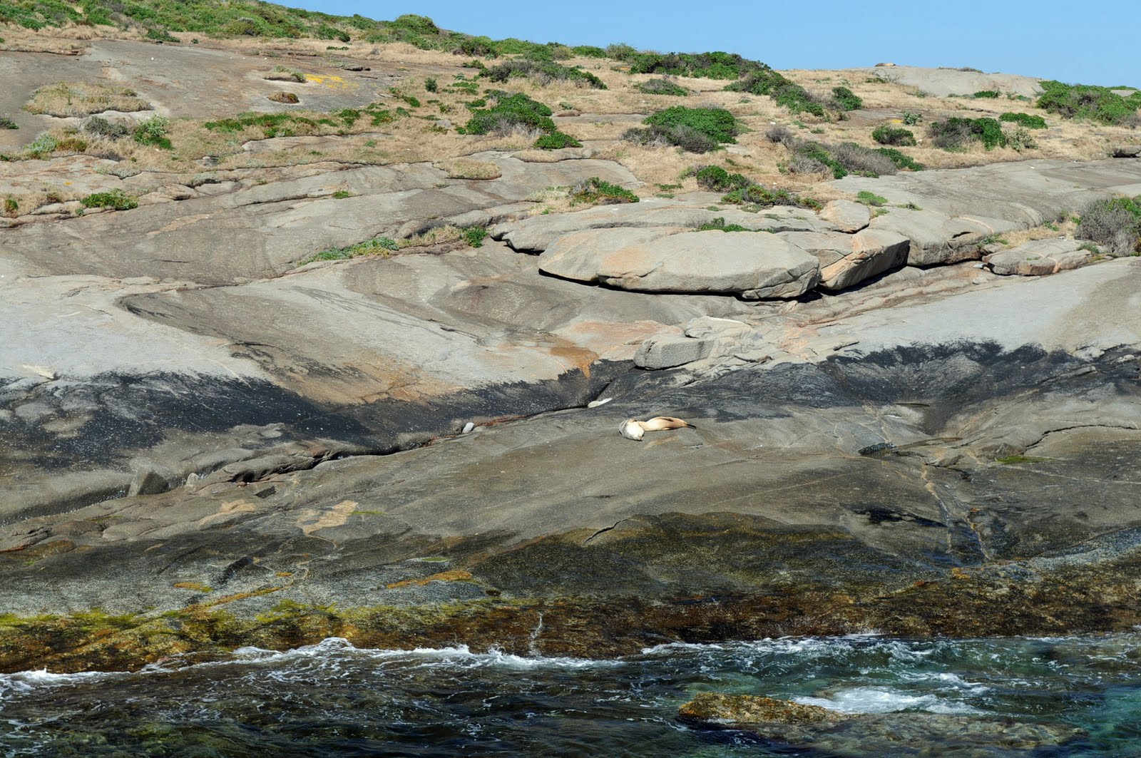
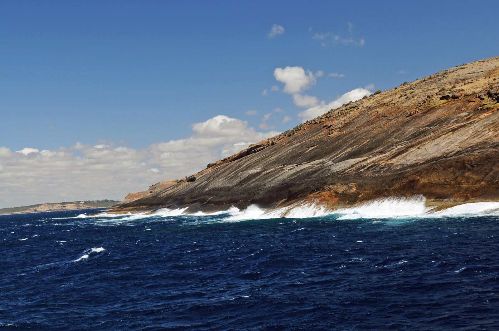
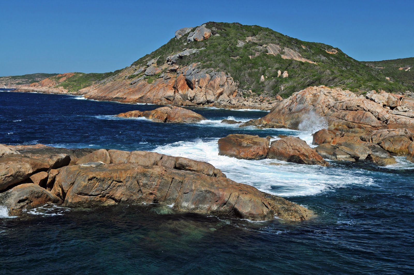
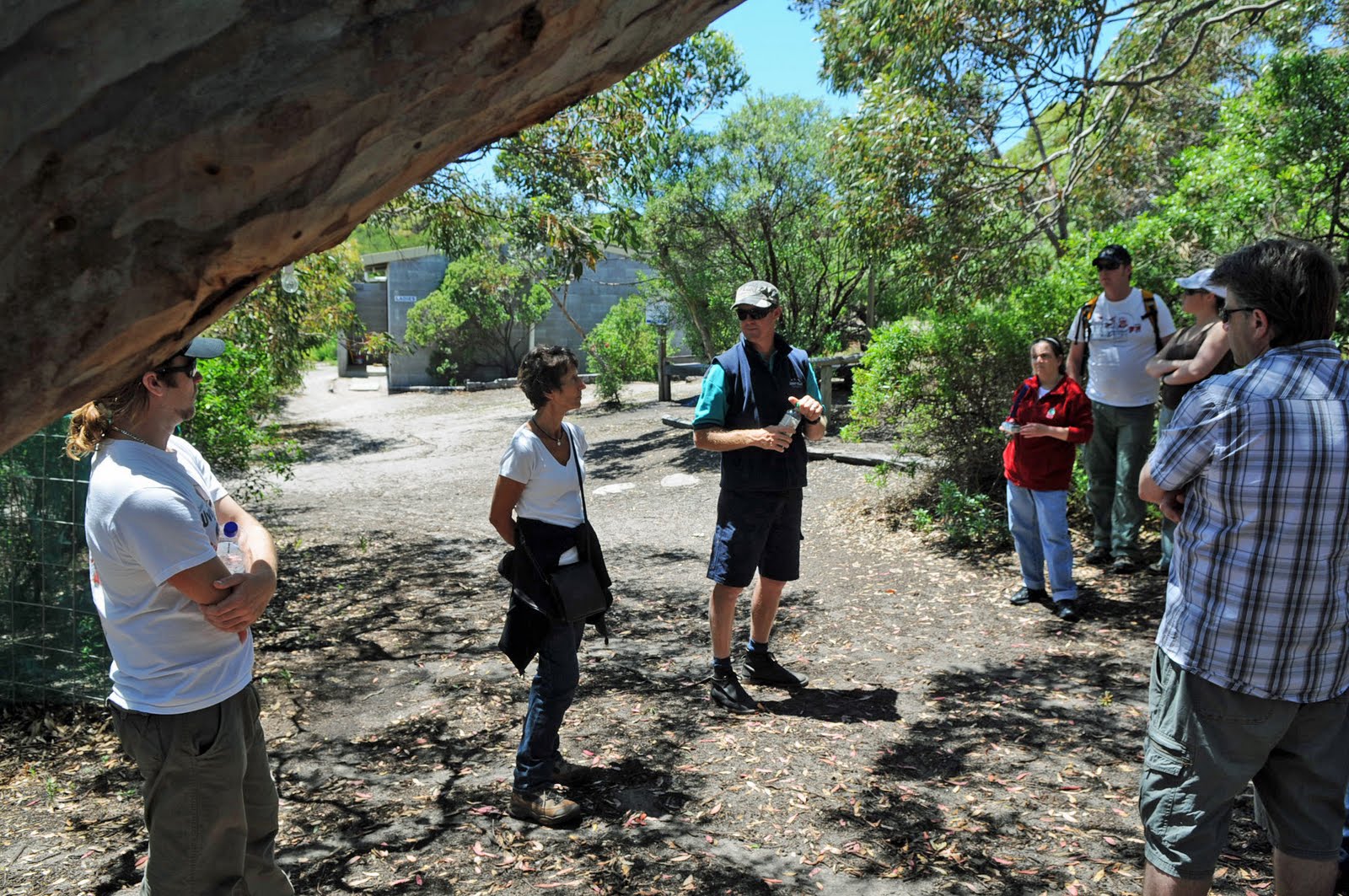
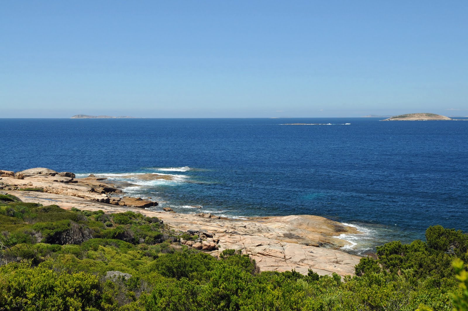
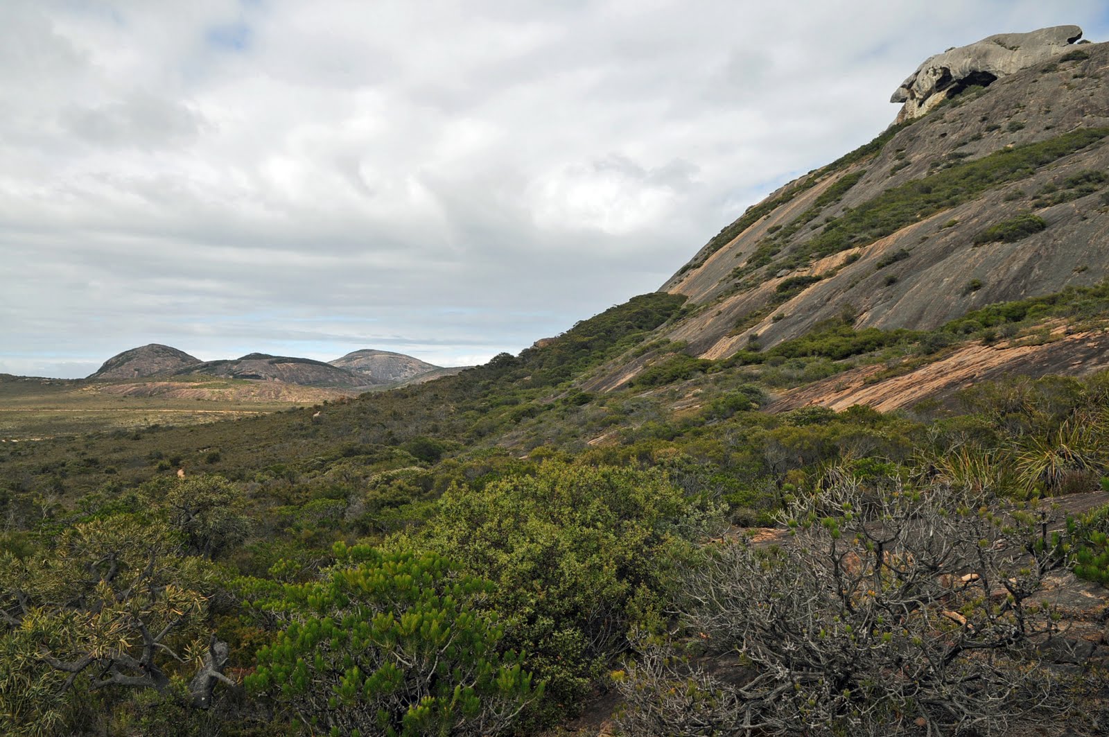
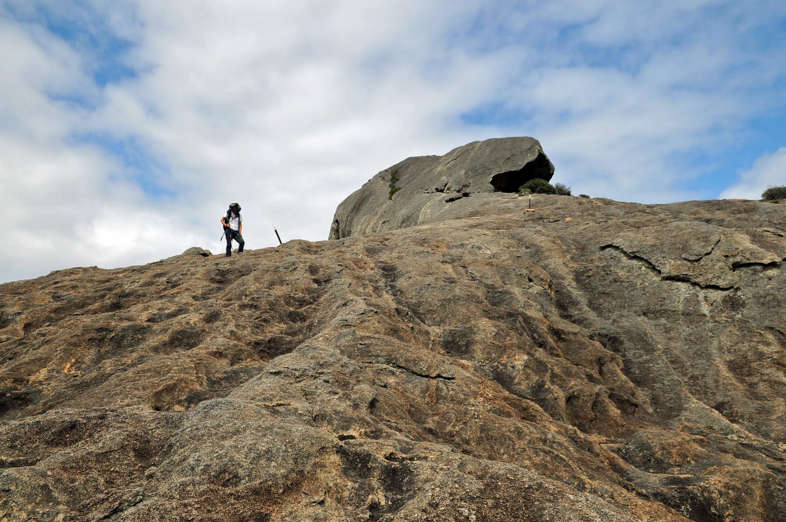
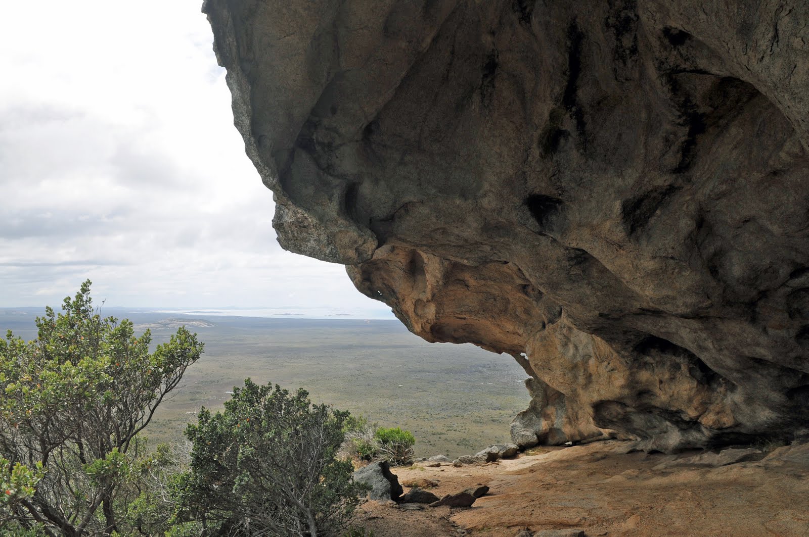
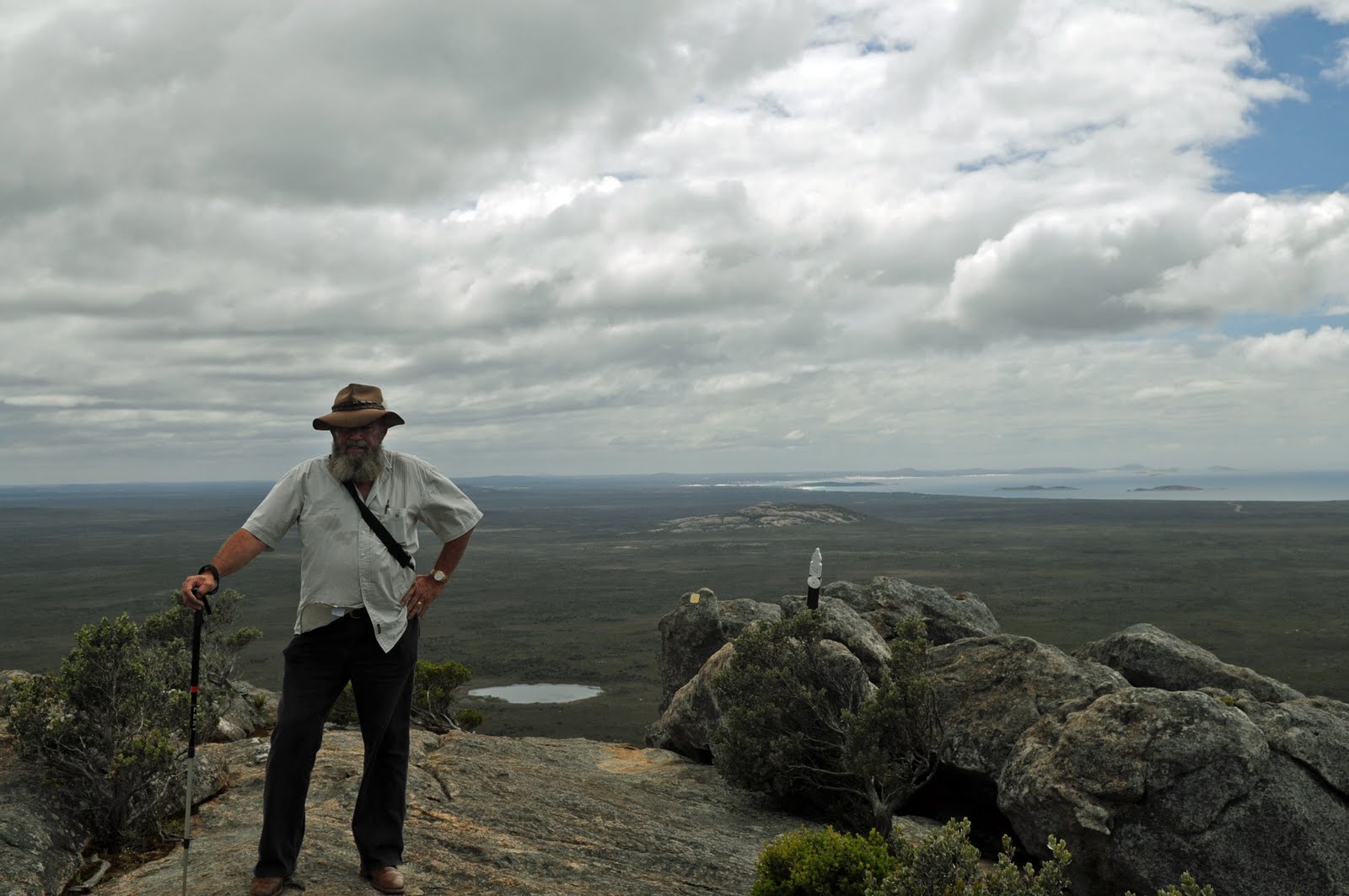
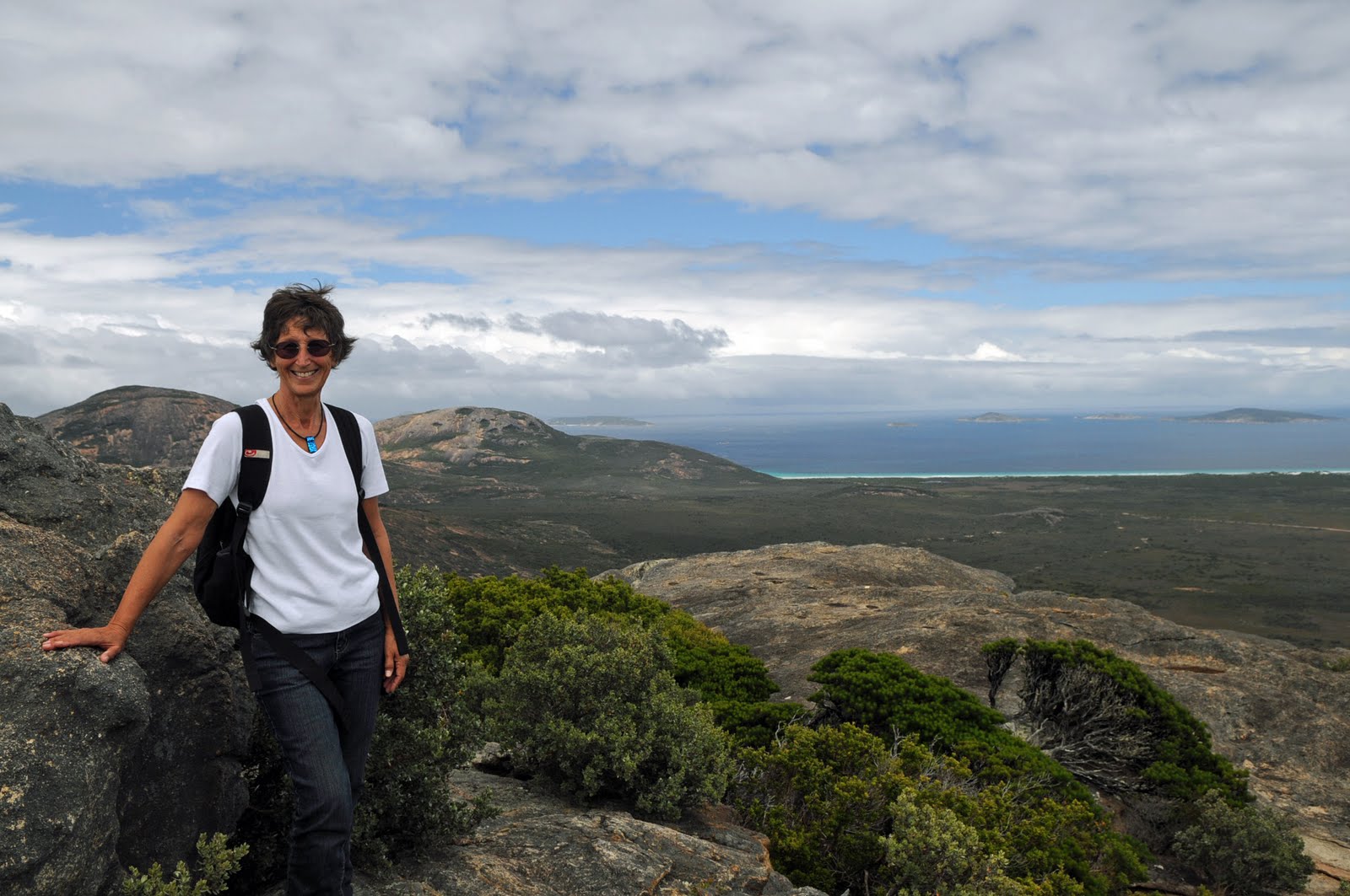
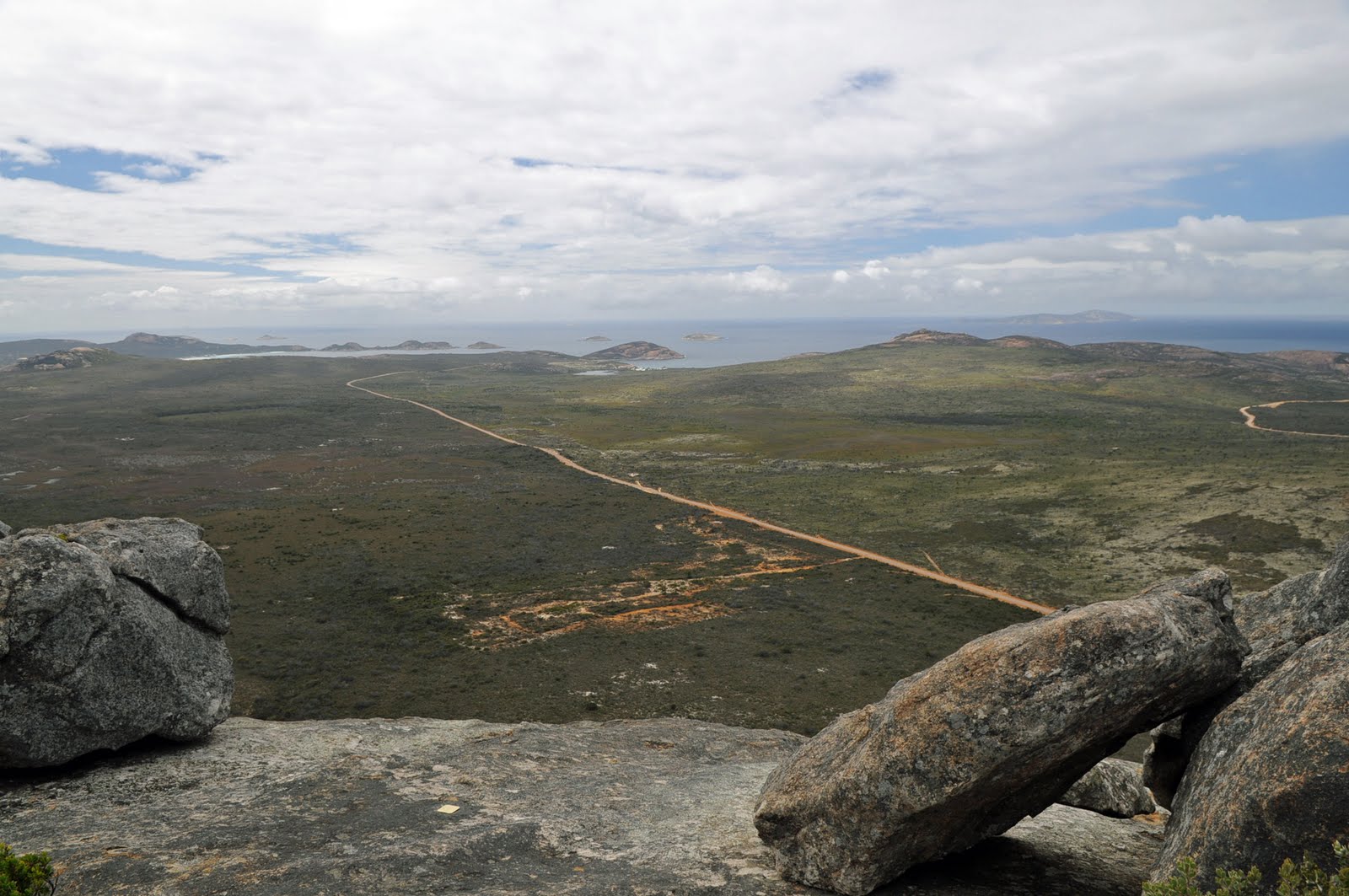
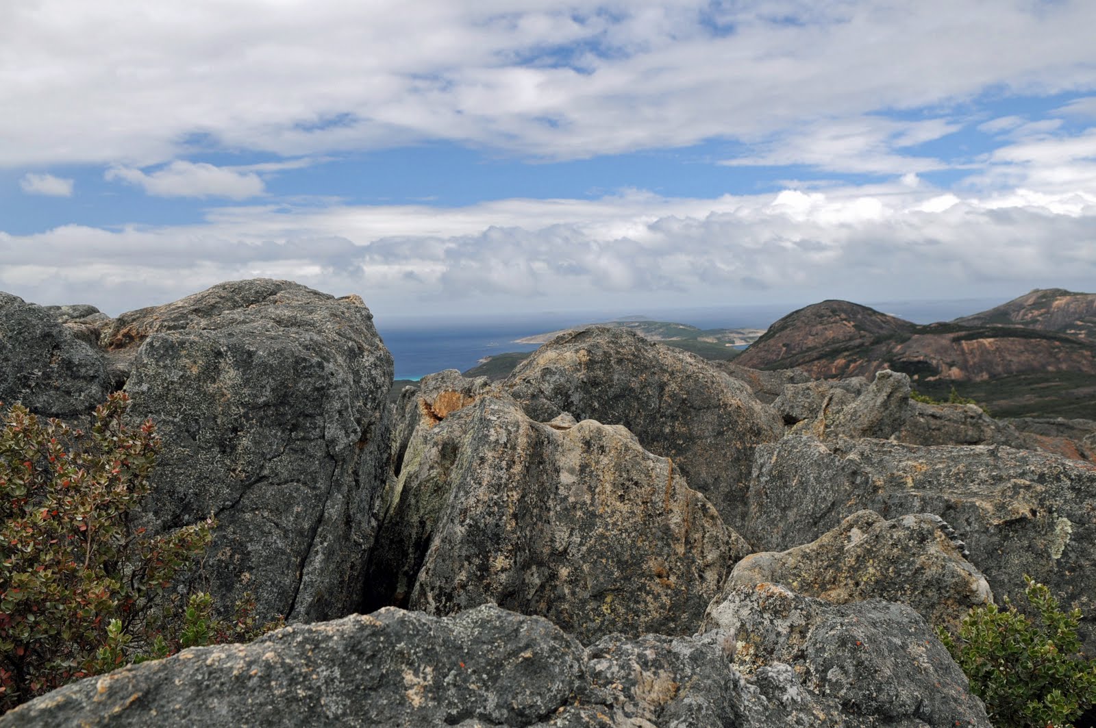
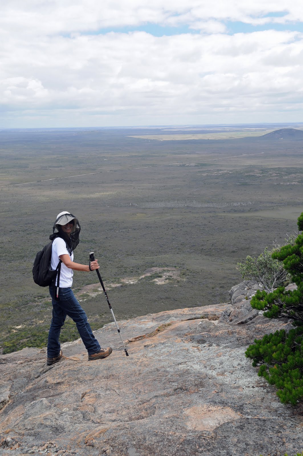
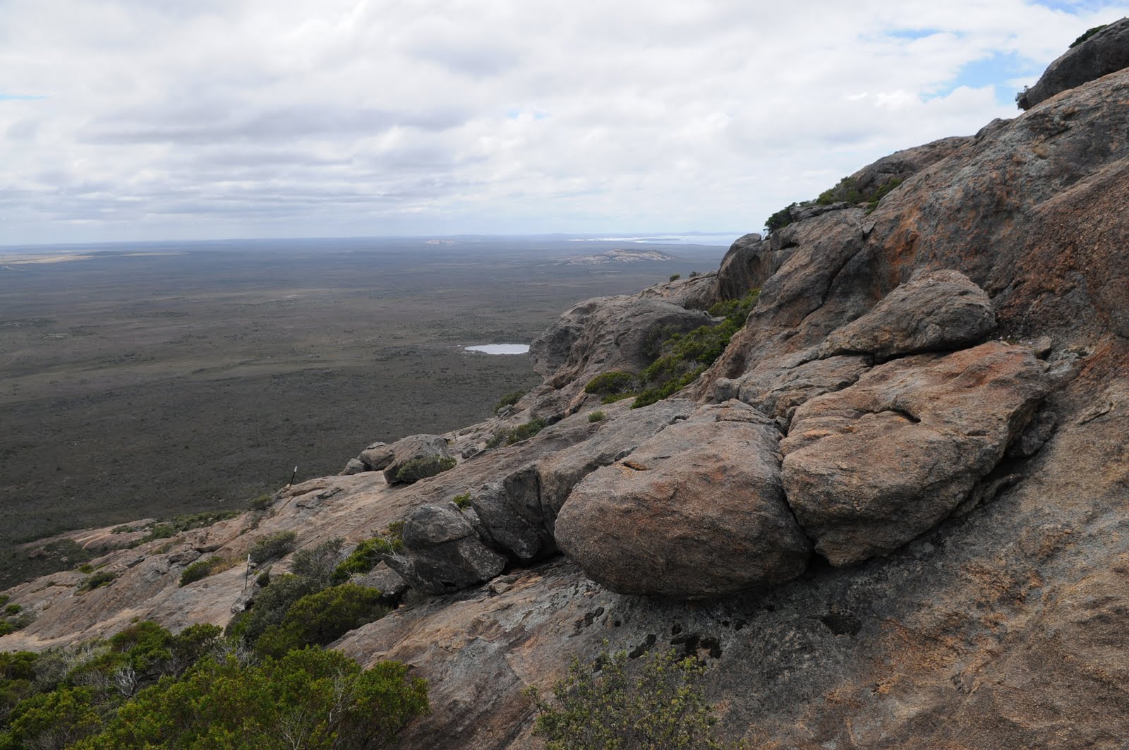
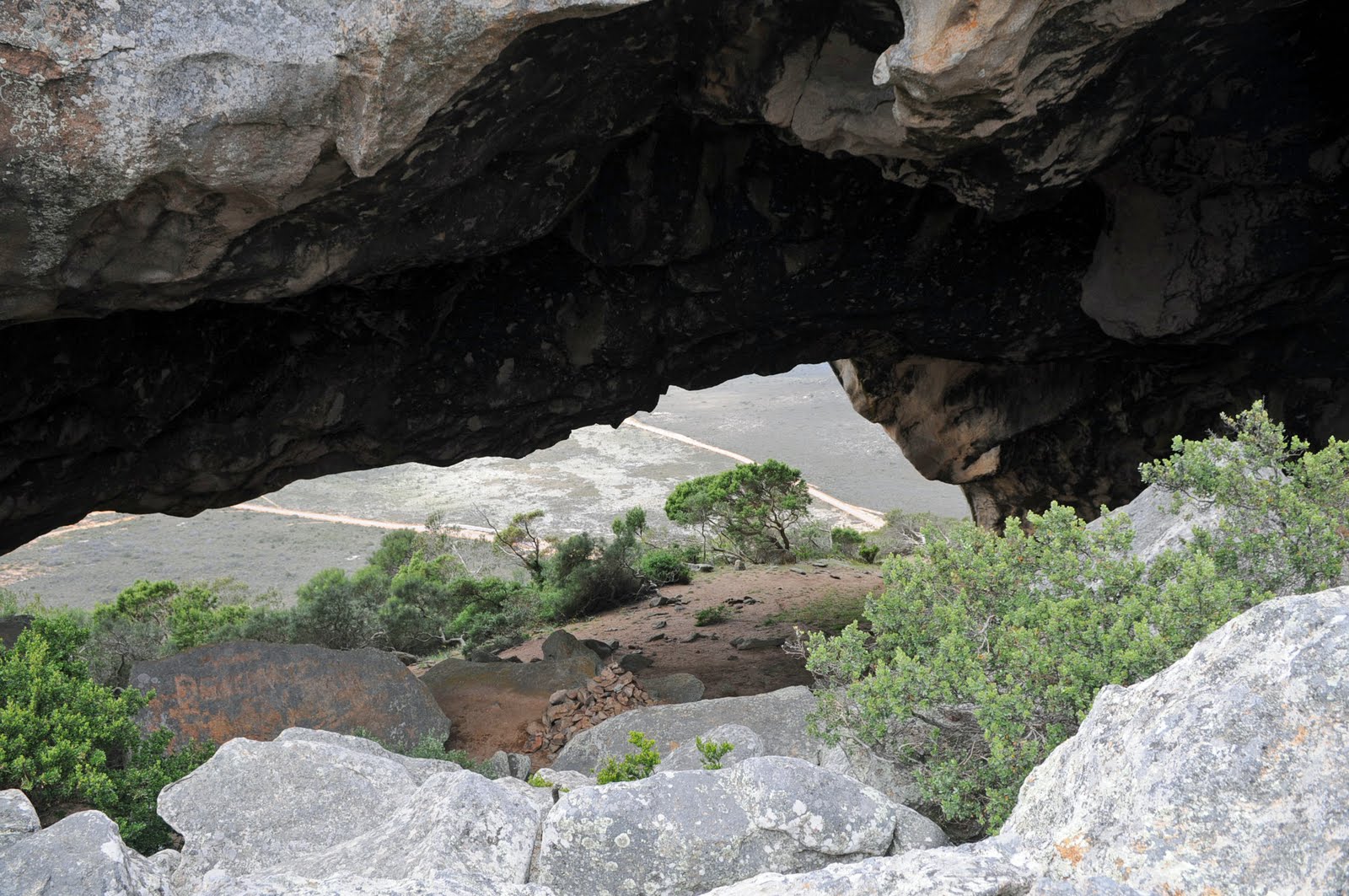
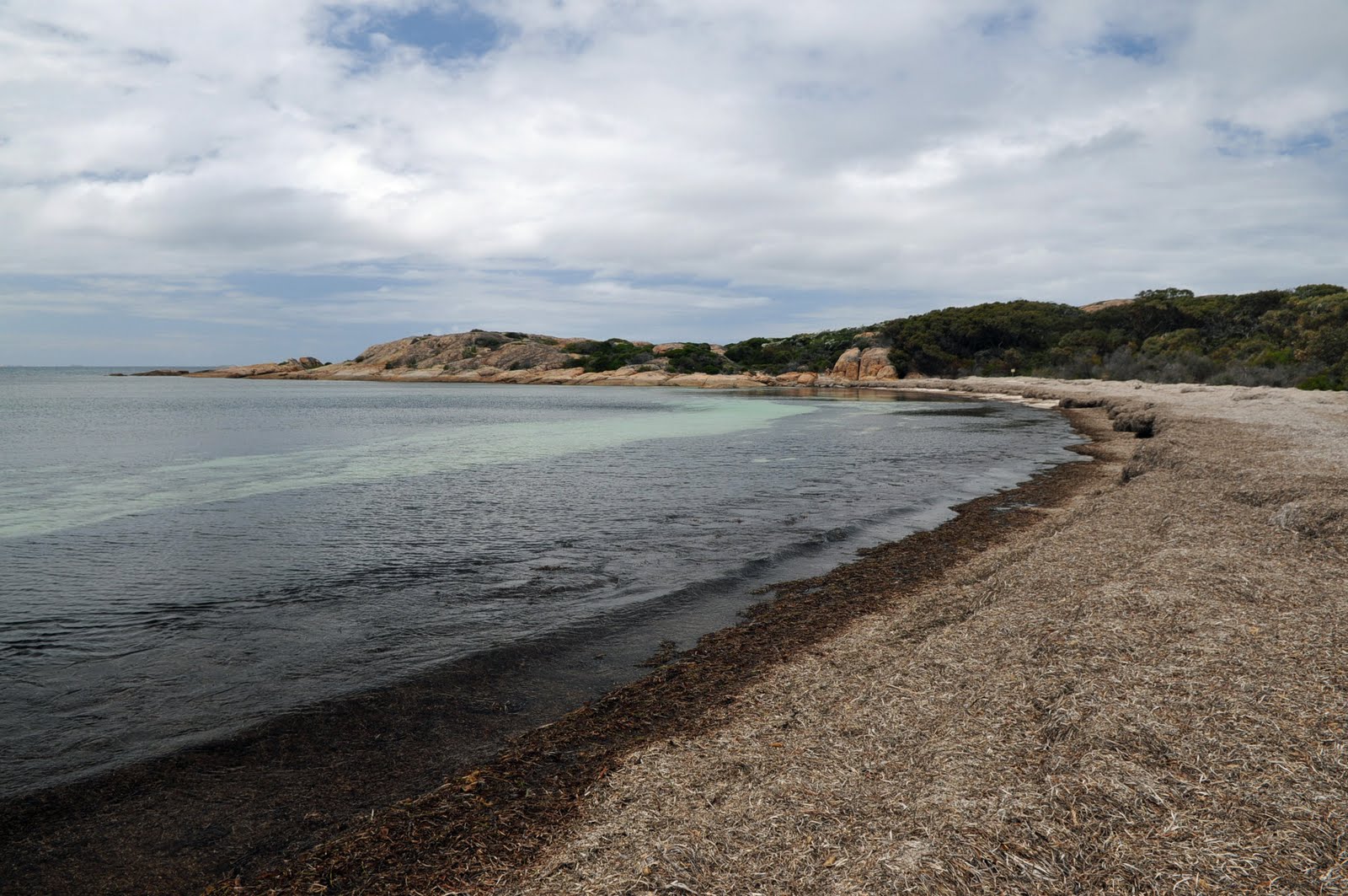
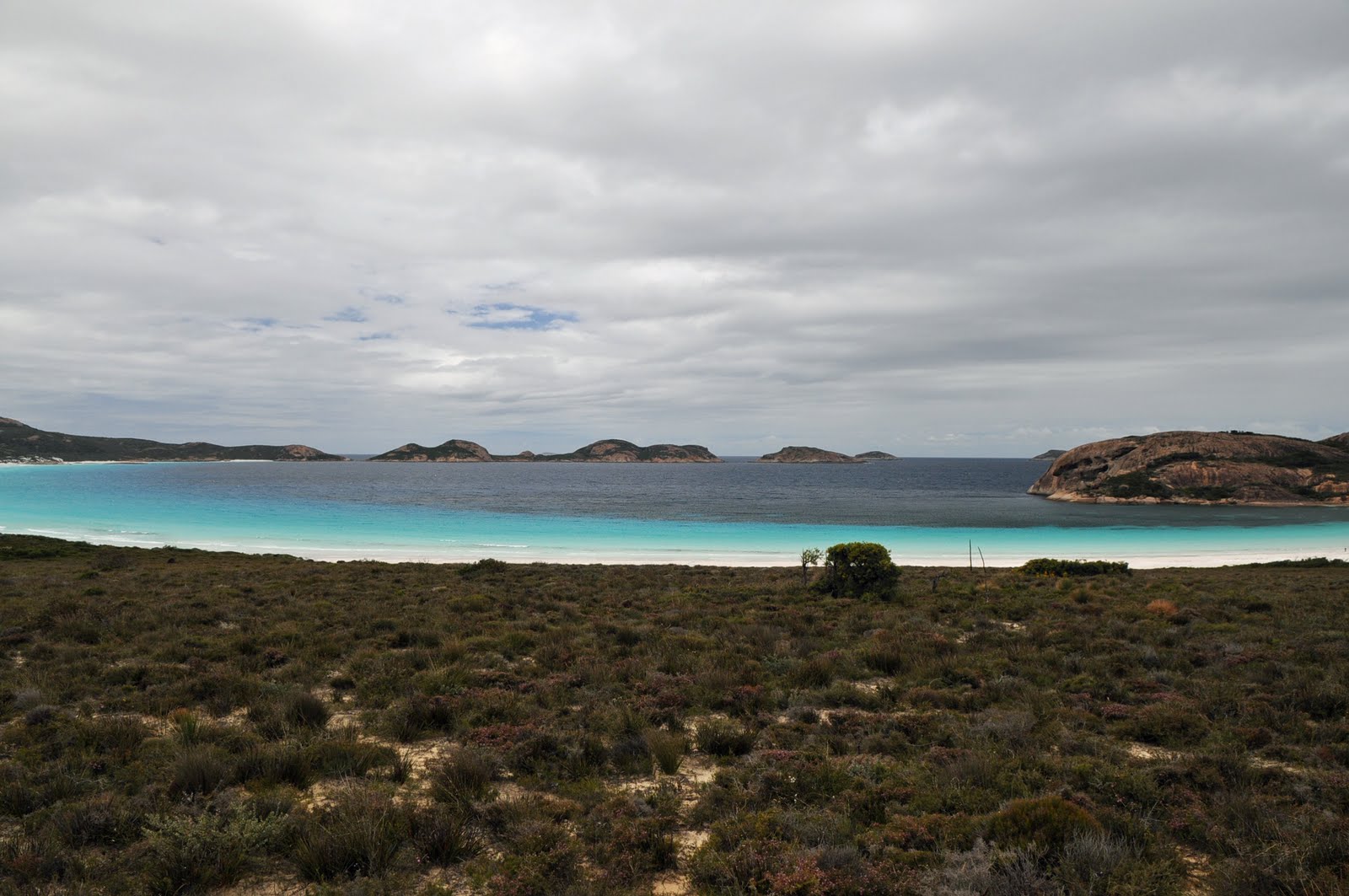
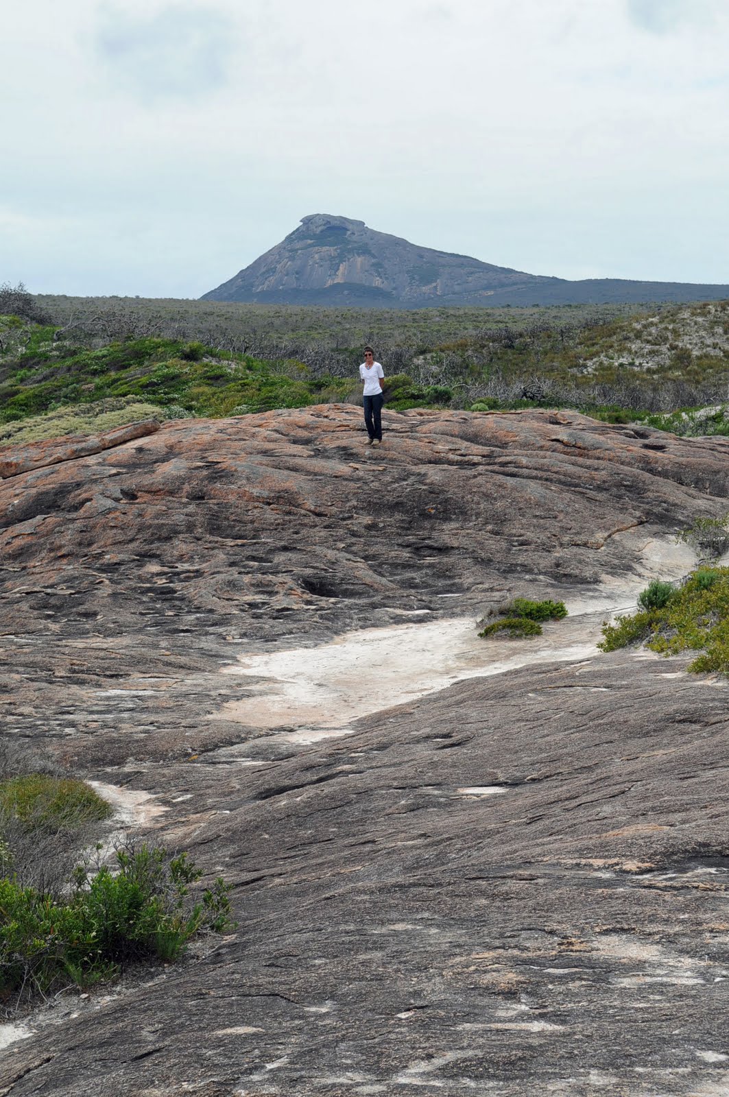
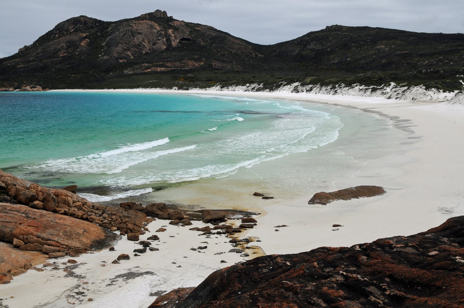
In the Innes National Park, West Cape Lighthouse presented the most spectacular views. We were very lucky with the weather; the sky was blue with a little cloud and there was some wind but not too biting. We also stopped at Ethel Beach to read about the shipwrecks there and looked at Deep Lake. We then wandered through the Historic Township of Inneston which was abandoned in 1970 and sold to the government so that it could now be incorporated into the National Park. Lake Inneston once was mined for gypsum which was shipped out at the Port of Stenhouse from the Stenhouse Jetty. The gypsum was used in the plaster of most of the houses in southern Australia.
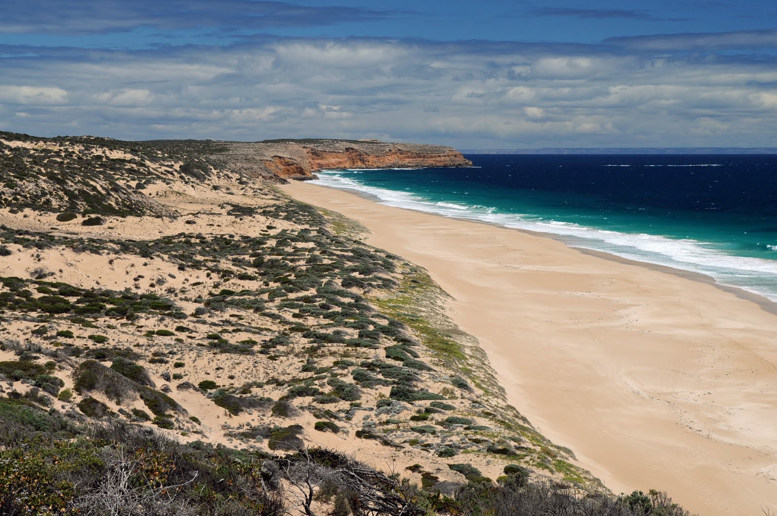
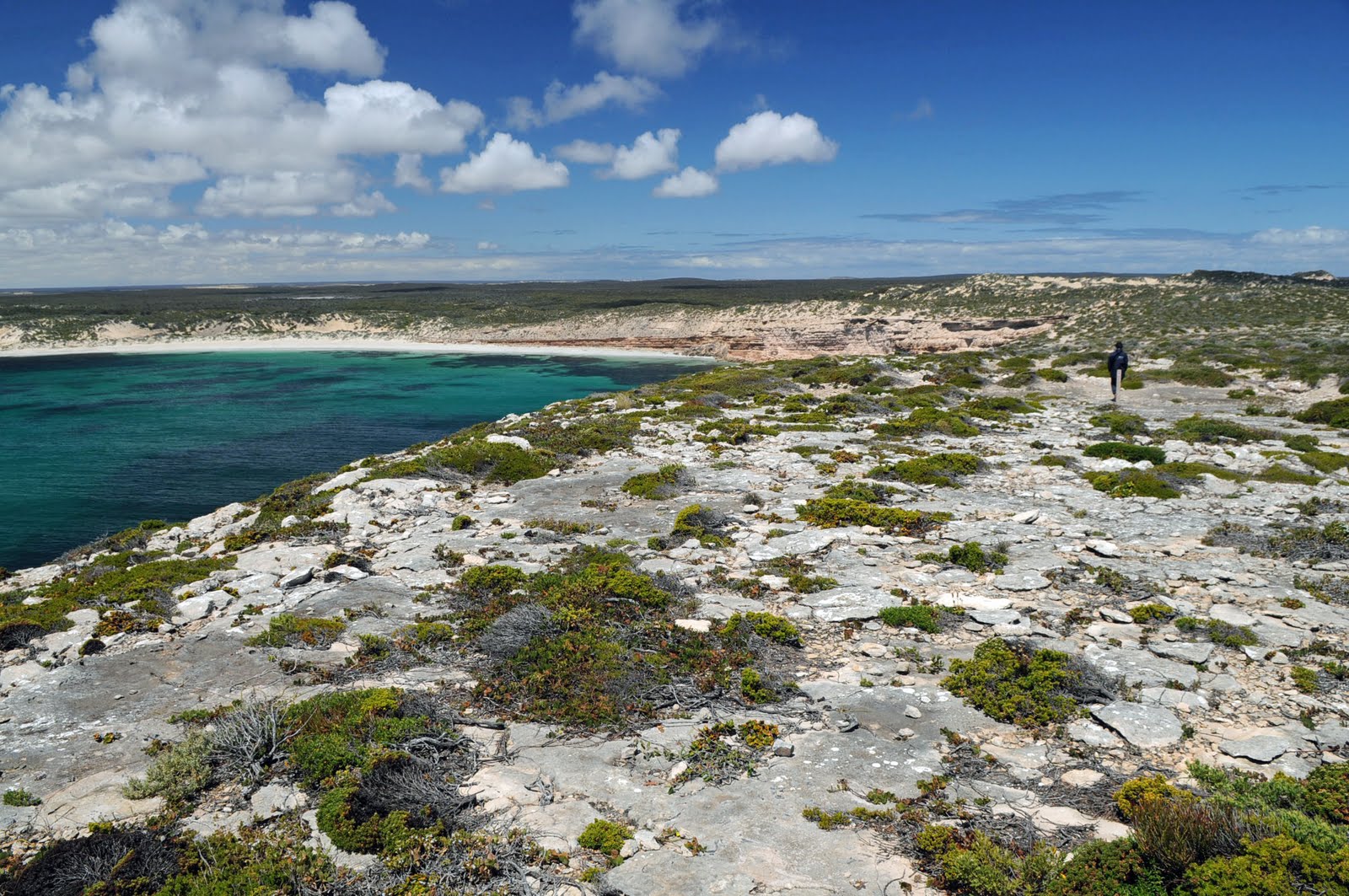
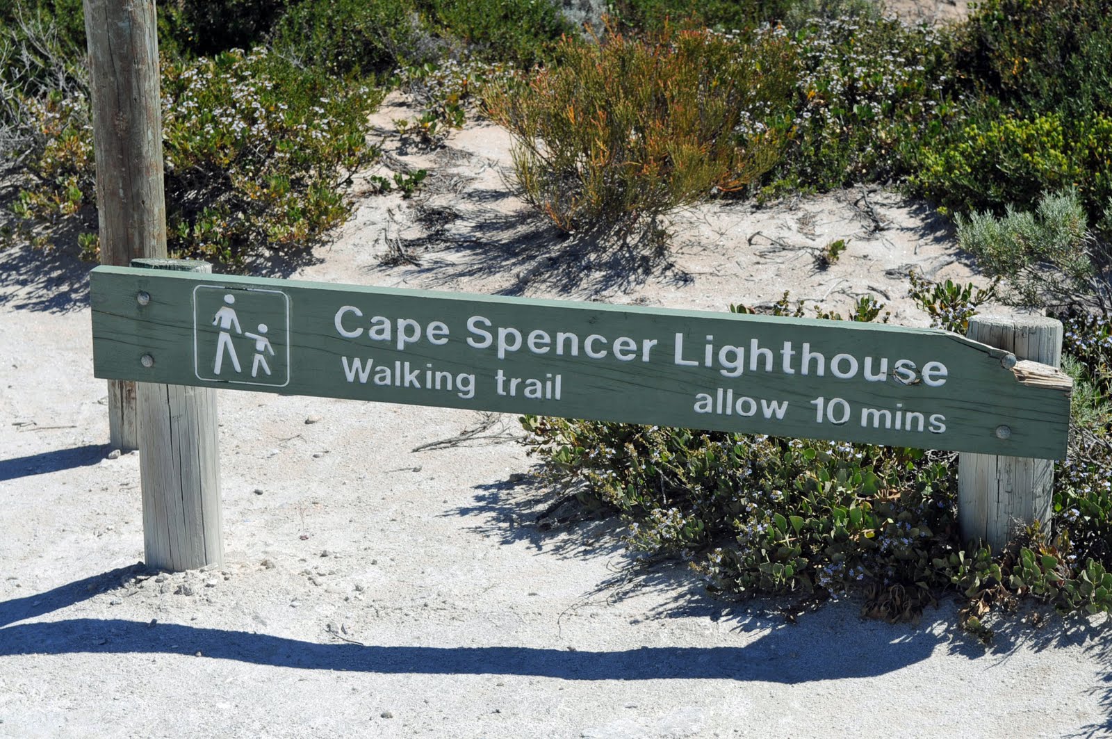
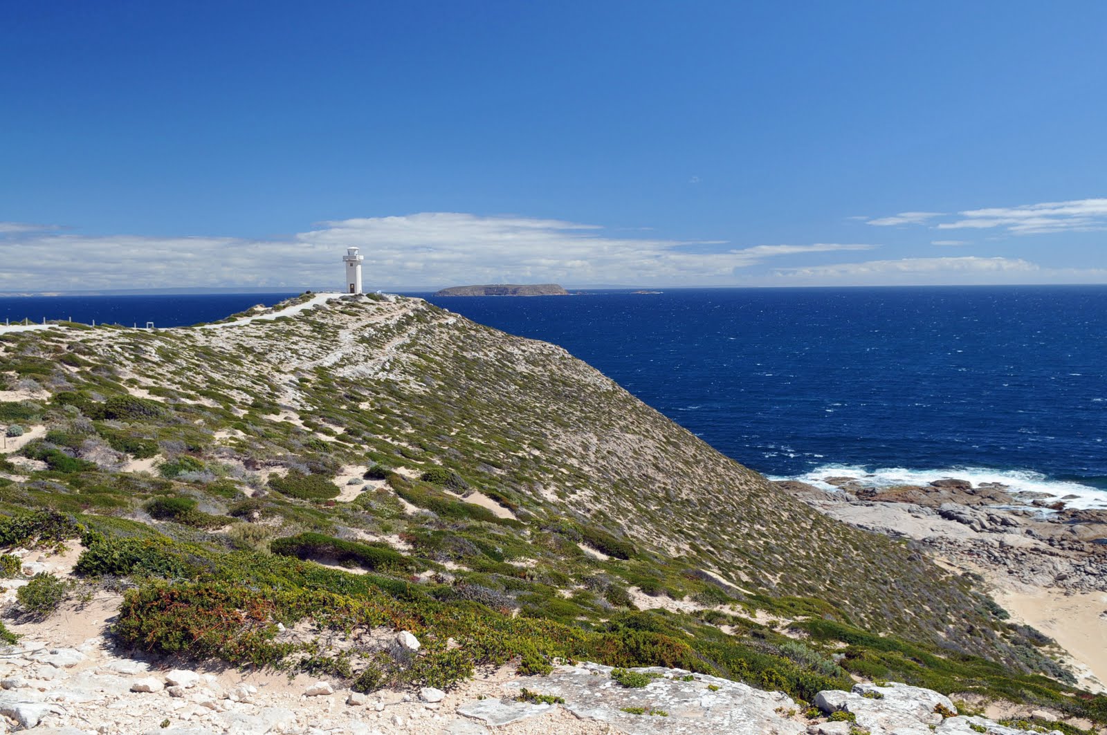
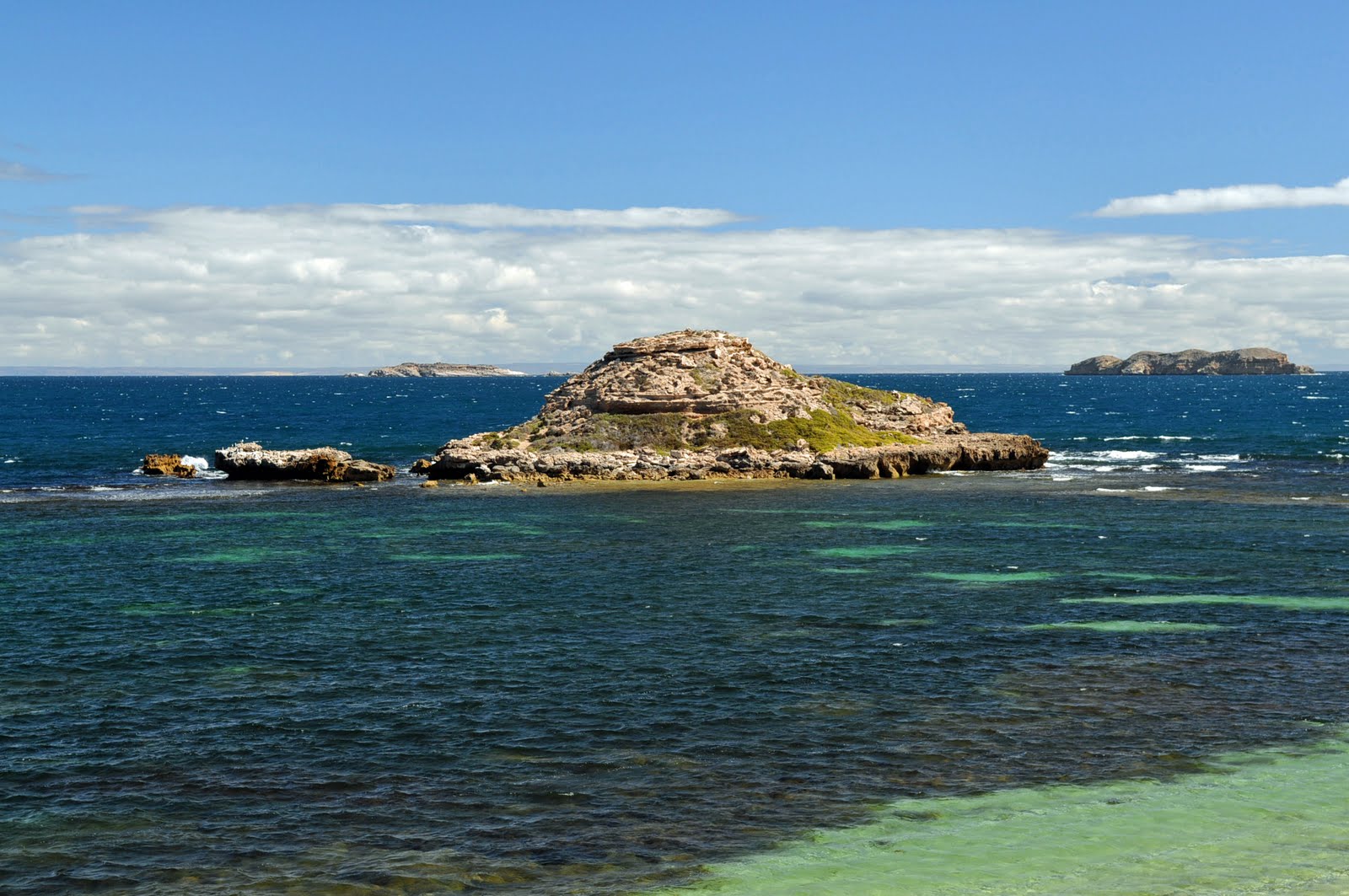
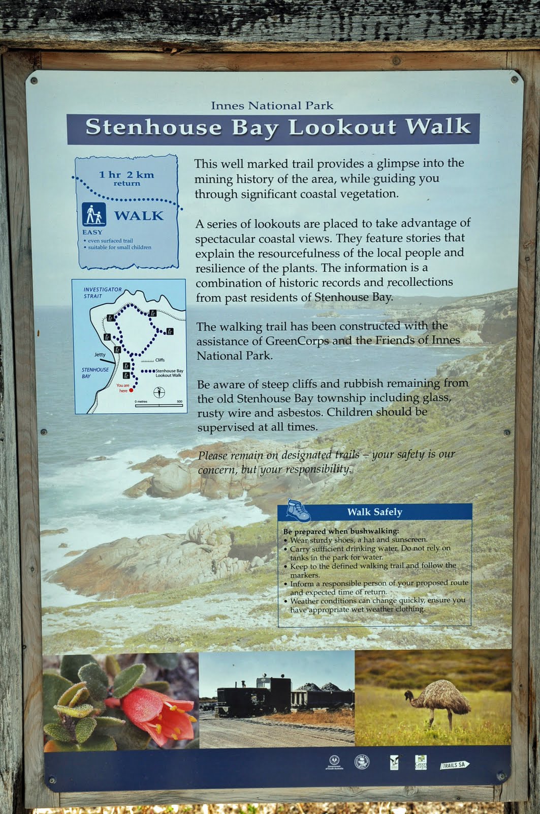
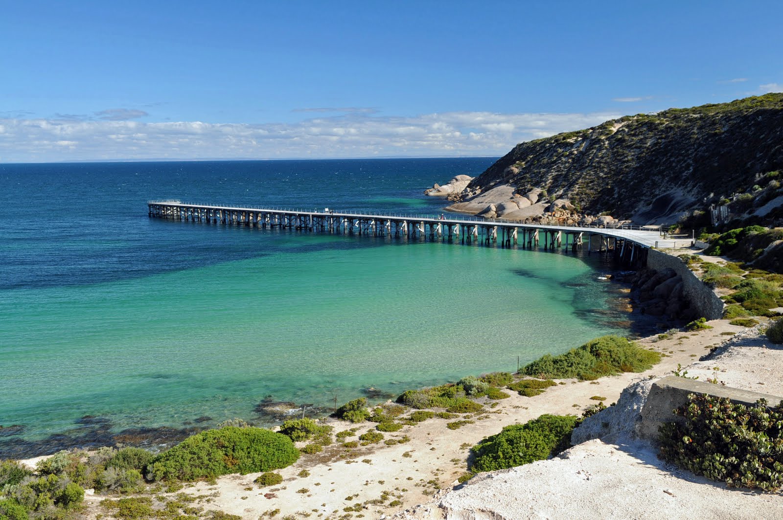
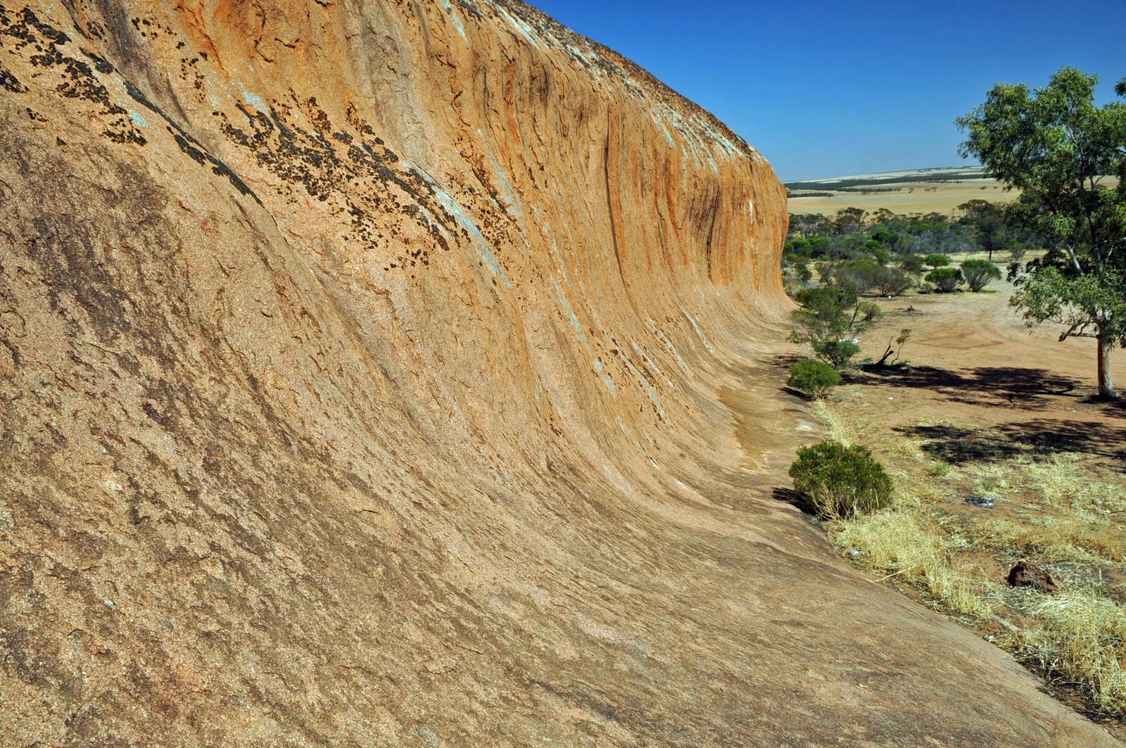
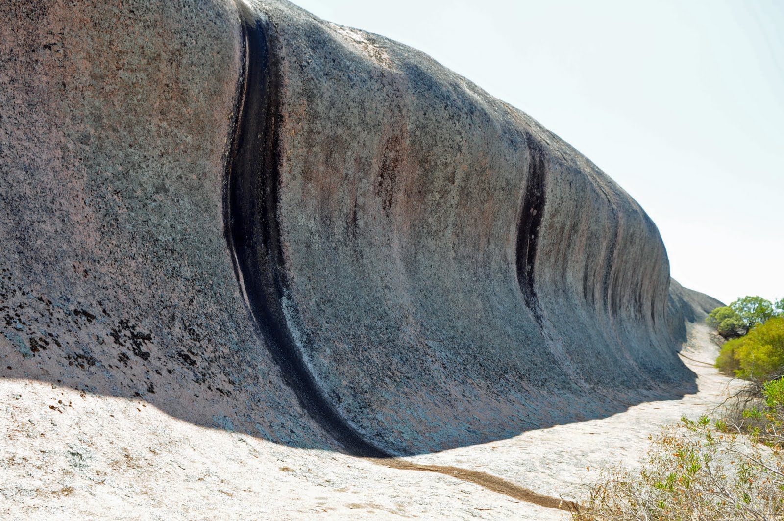
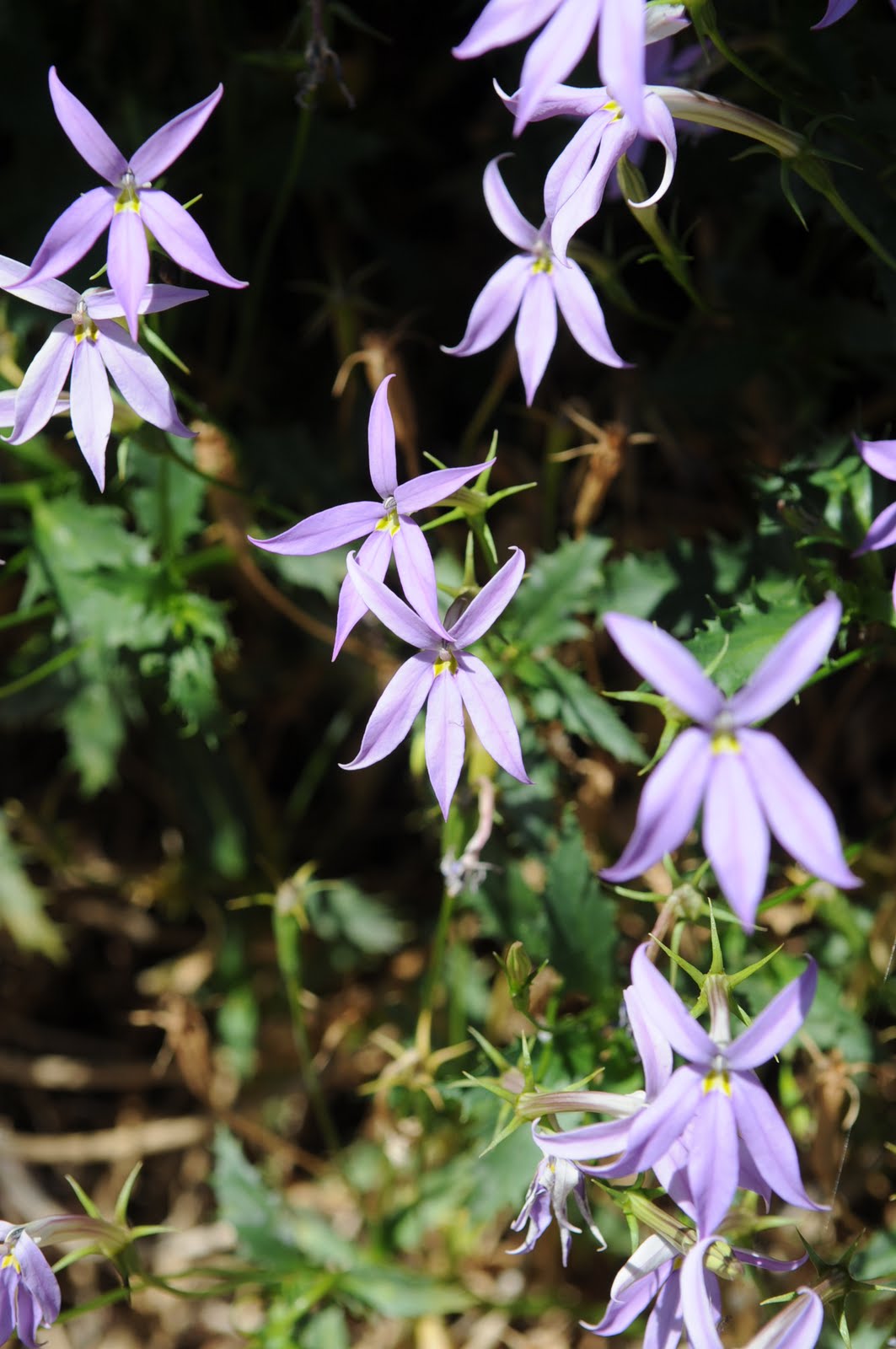
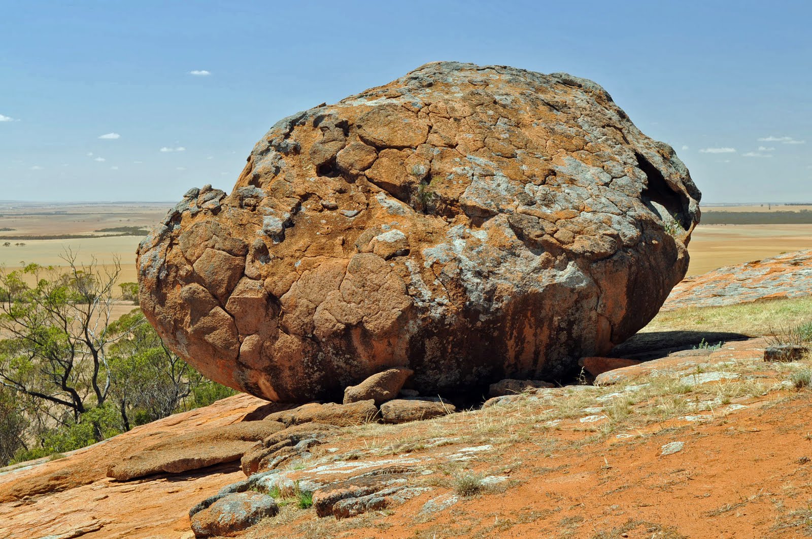
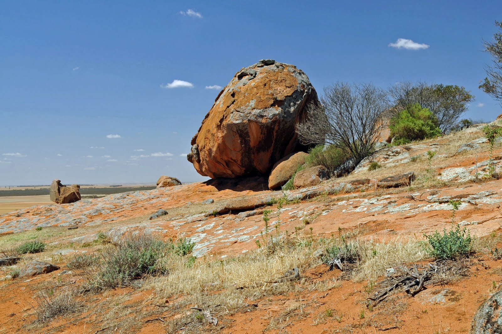
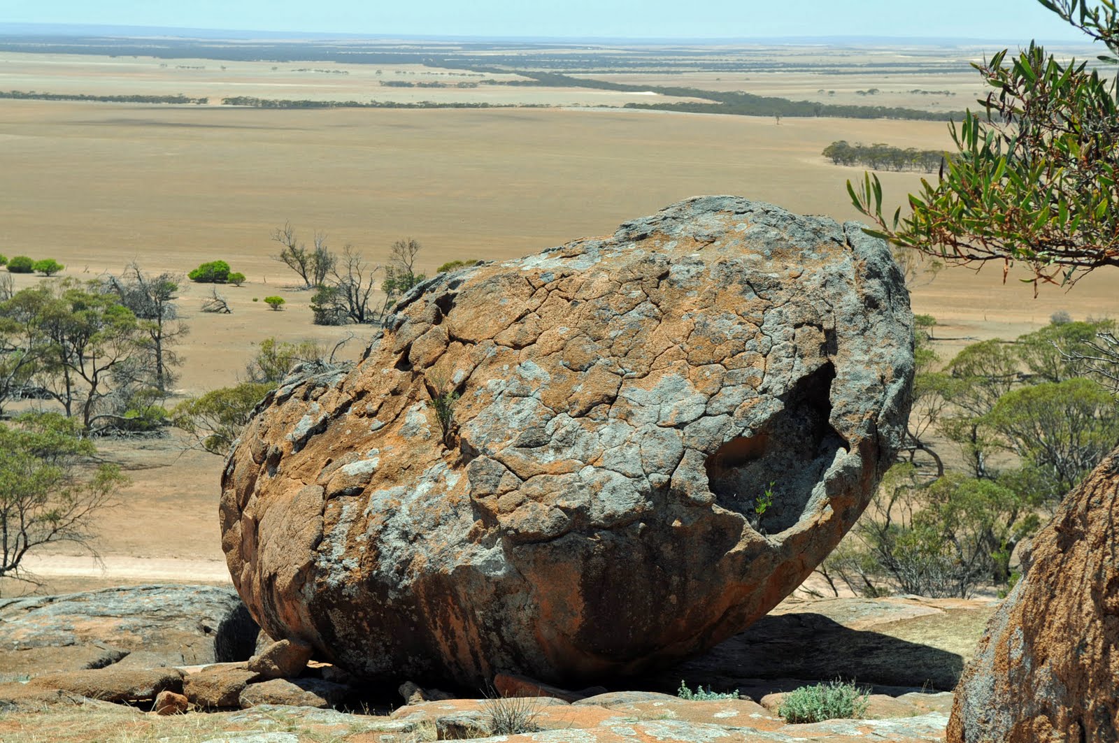
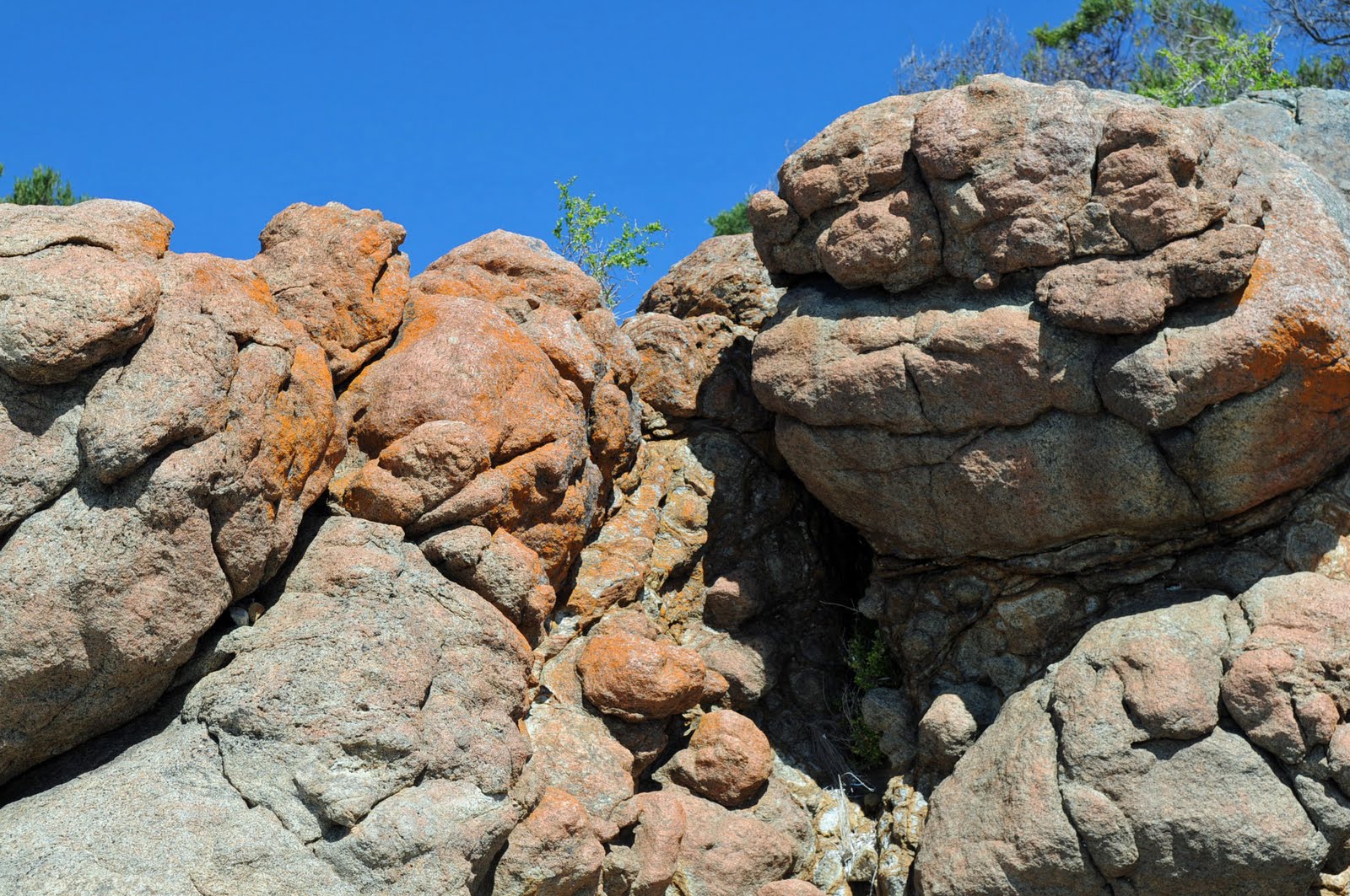
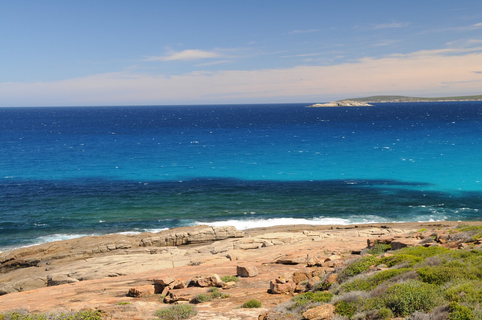
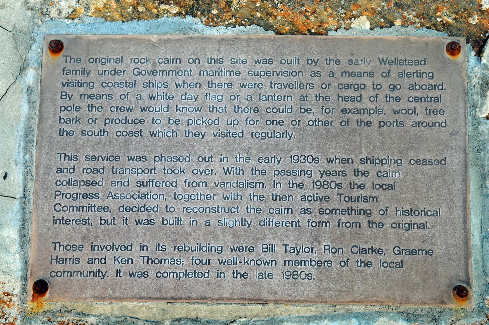
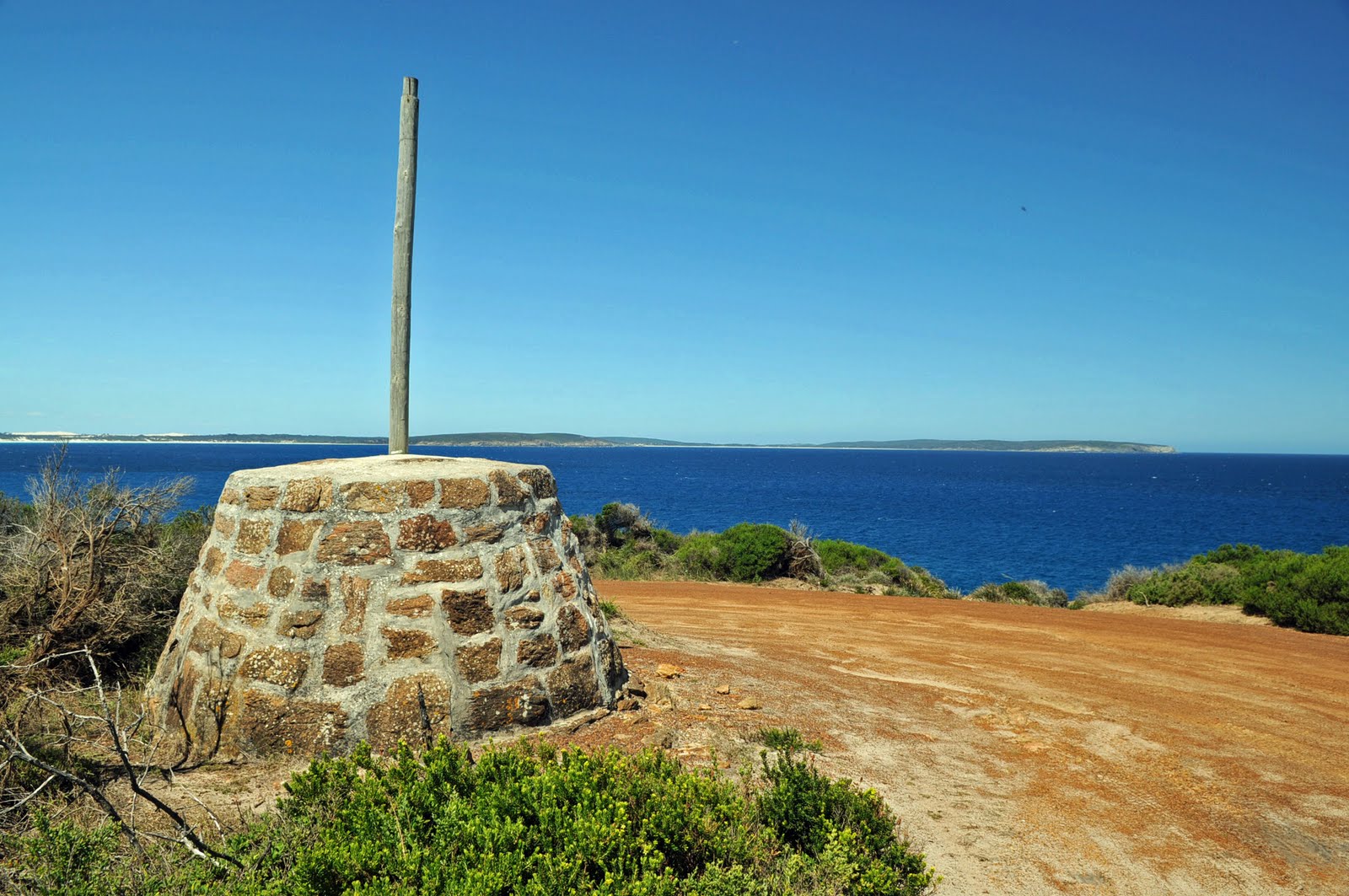
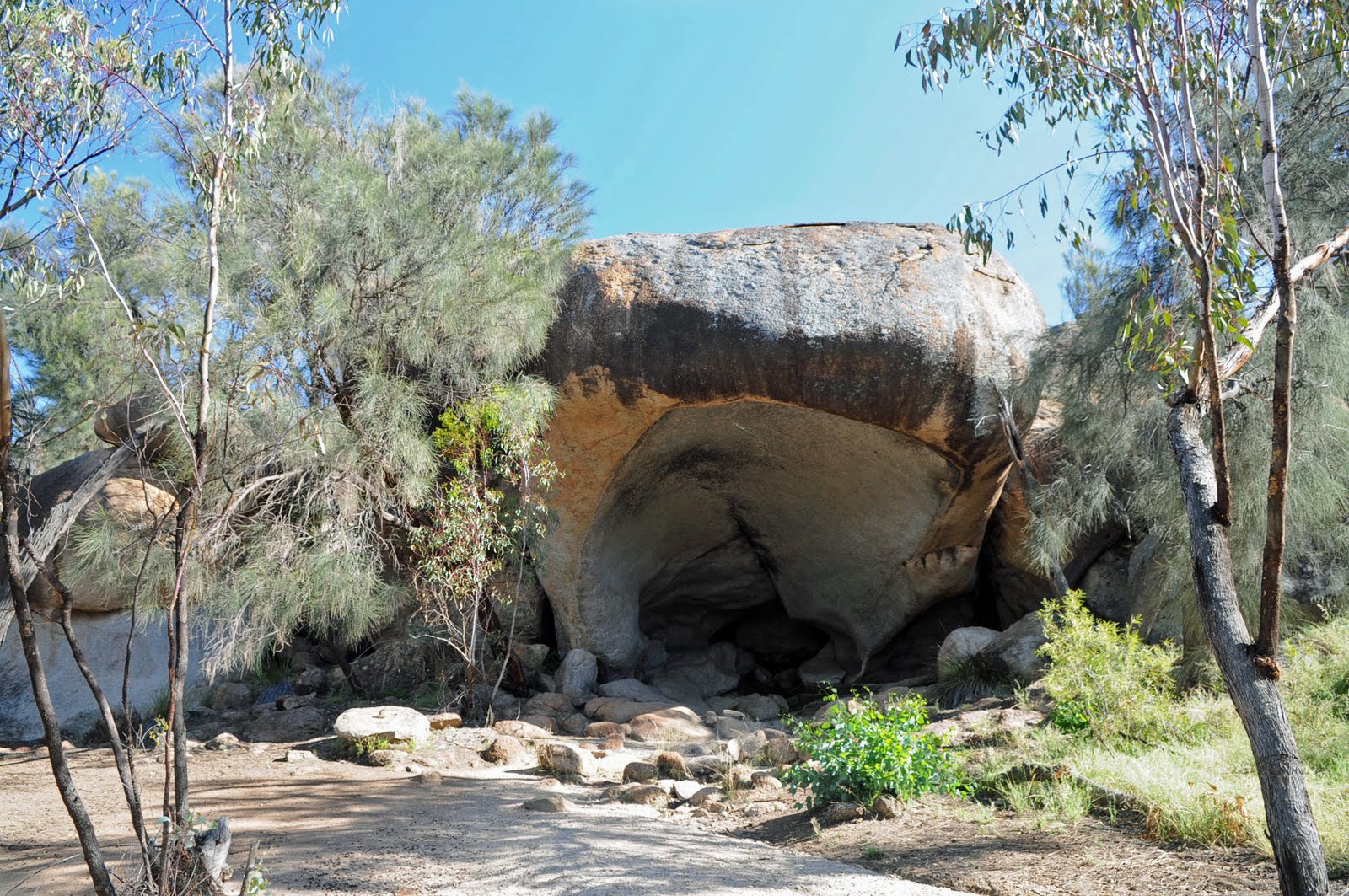
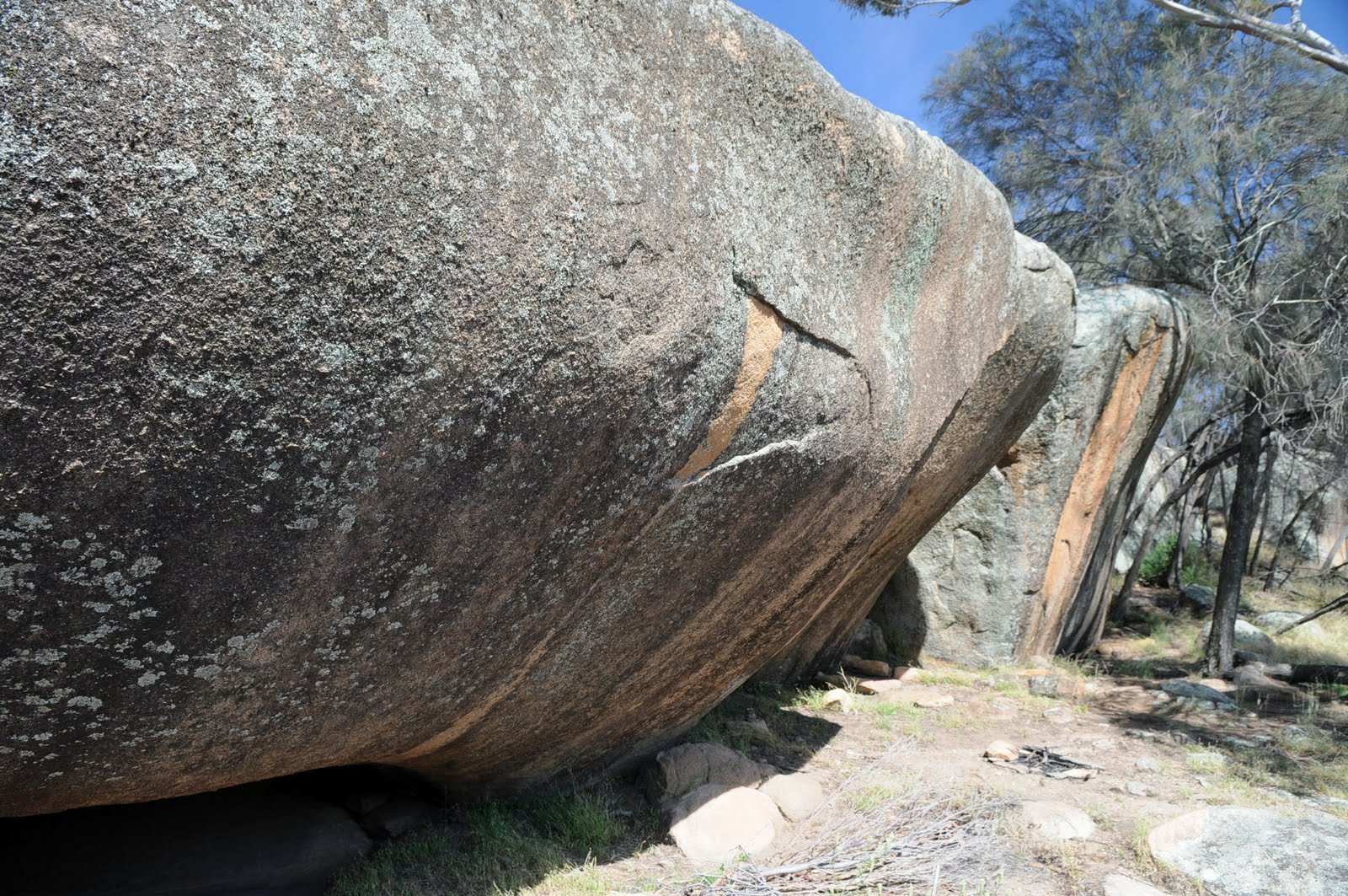
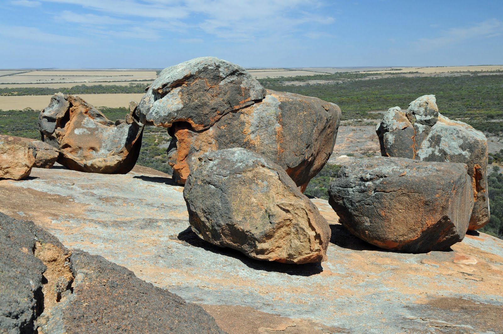
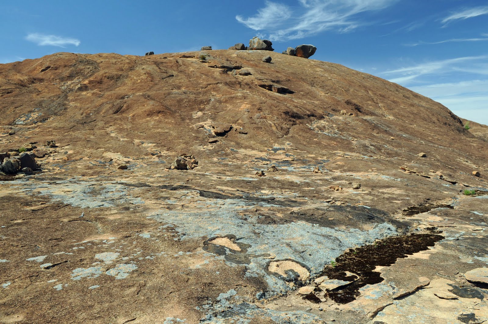
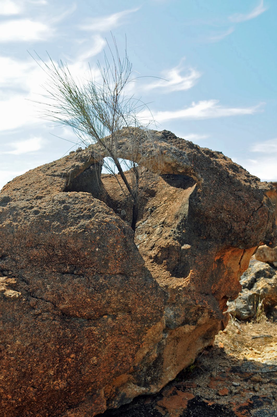
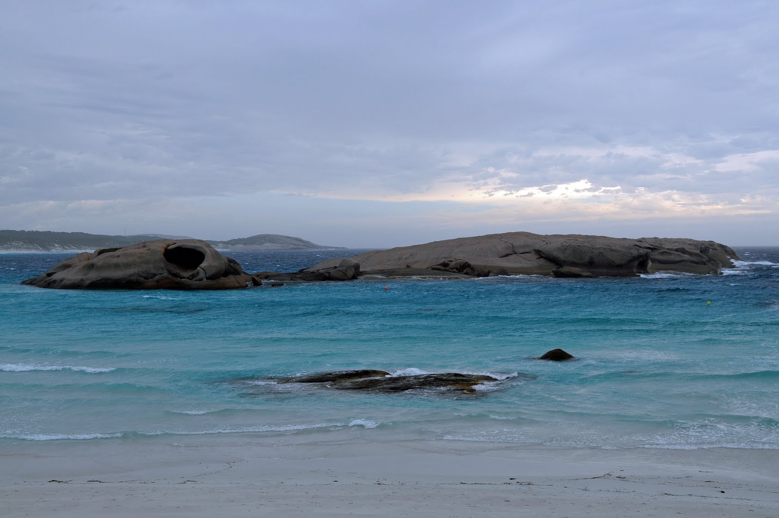
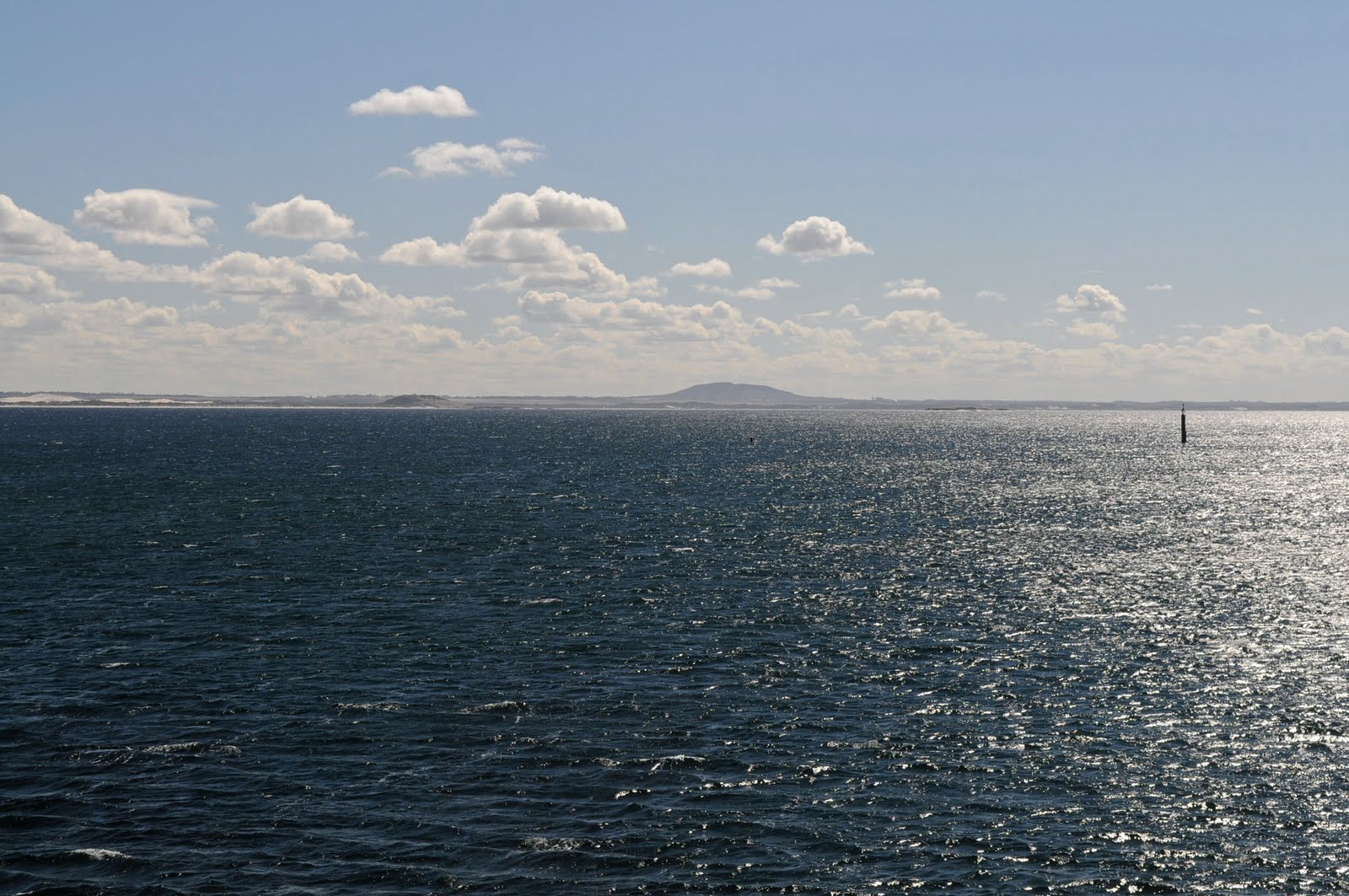
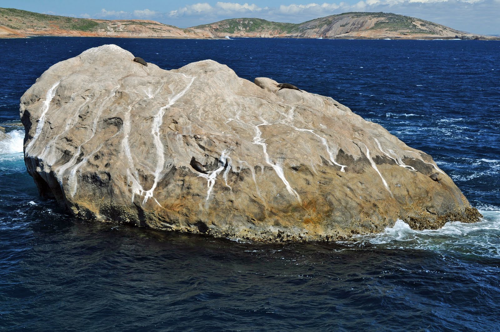
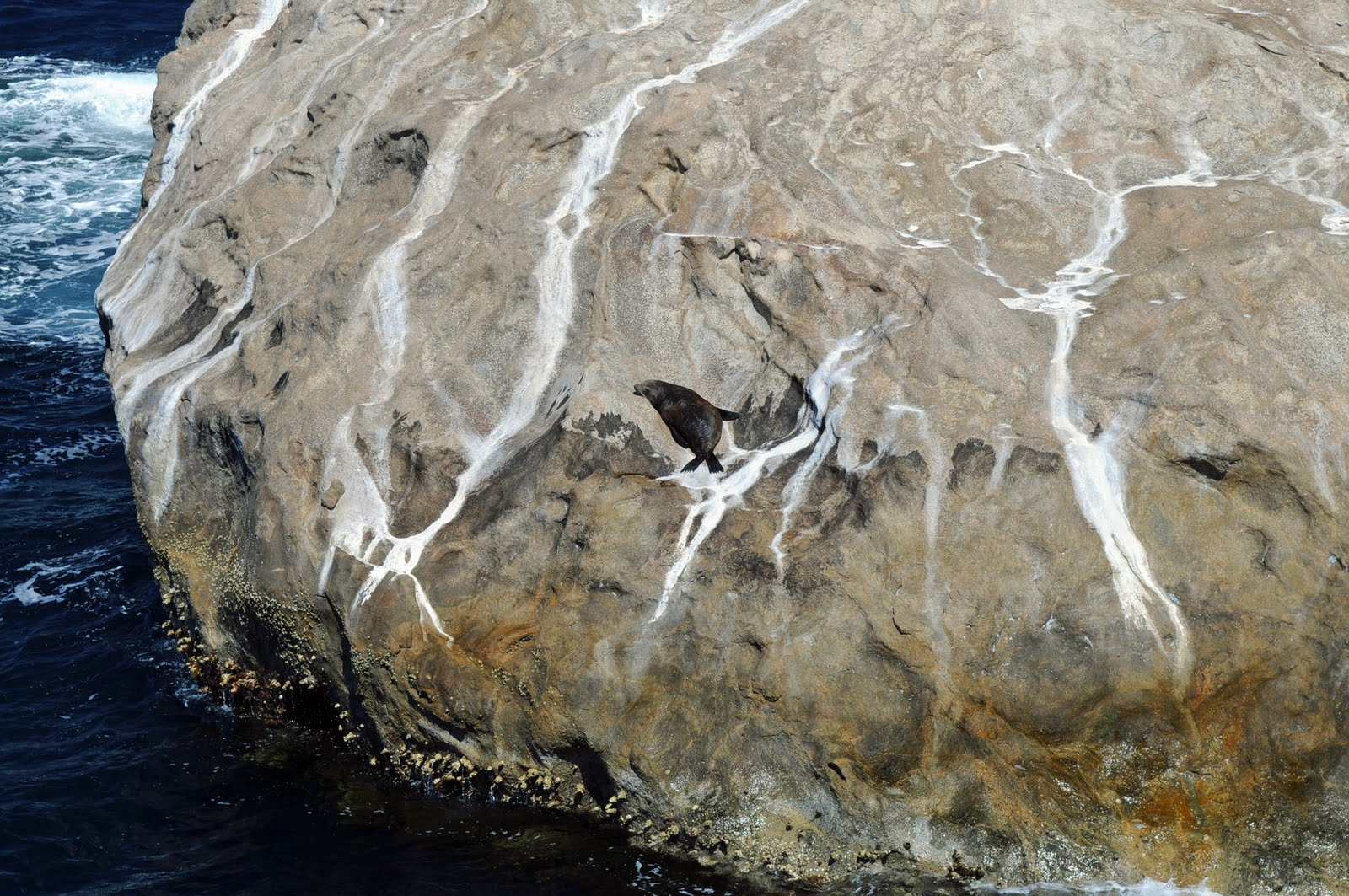
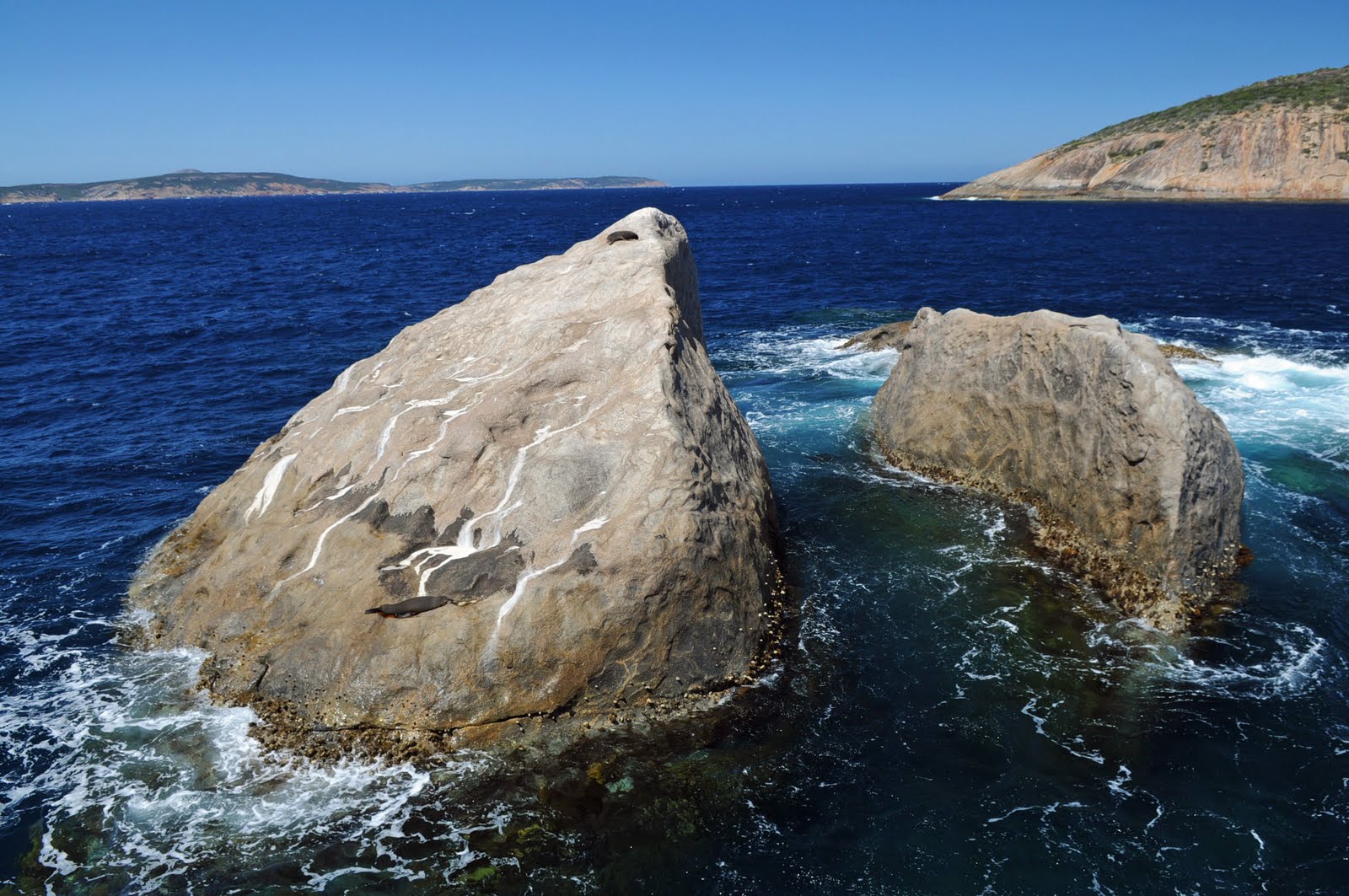
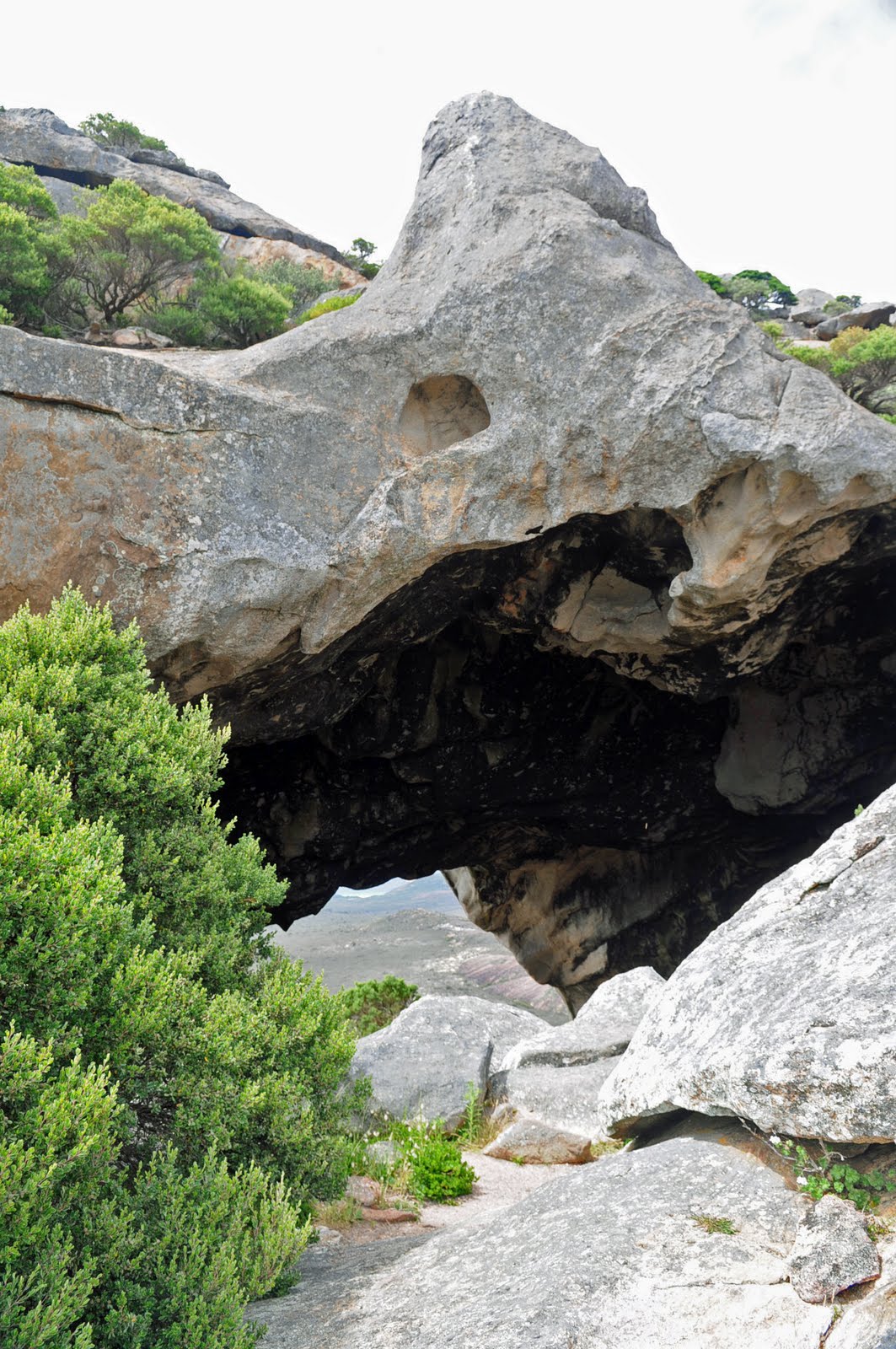
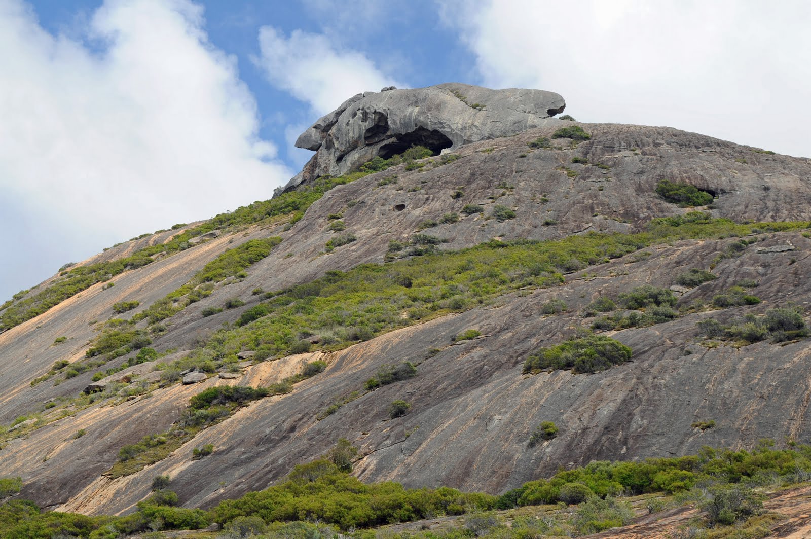
The views from the lighthouse at Cape Spencer were just wonderful. We stopped off to look at the rock that looks like a Chinaman's Hat and onto the Stenhouse Bay Lookout walk.
The towns on the east side of the peninsula were tiny and we didn’t really stop but headed straight for Adelaide. Androssan has a dolomite mine owned by Onesteel (BHP) which keeps the town going and it also ships out salt and grains.
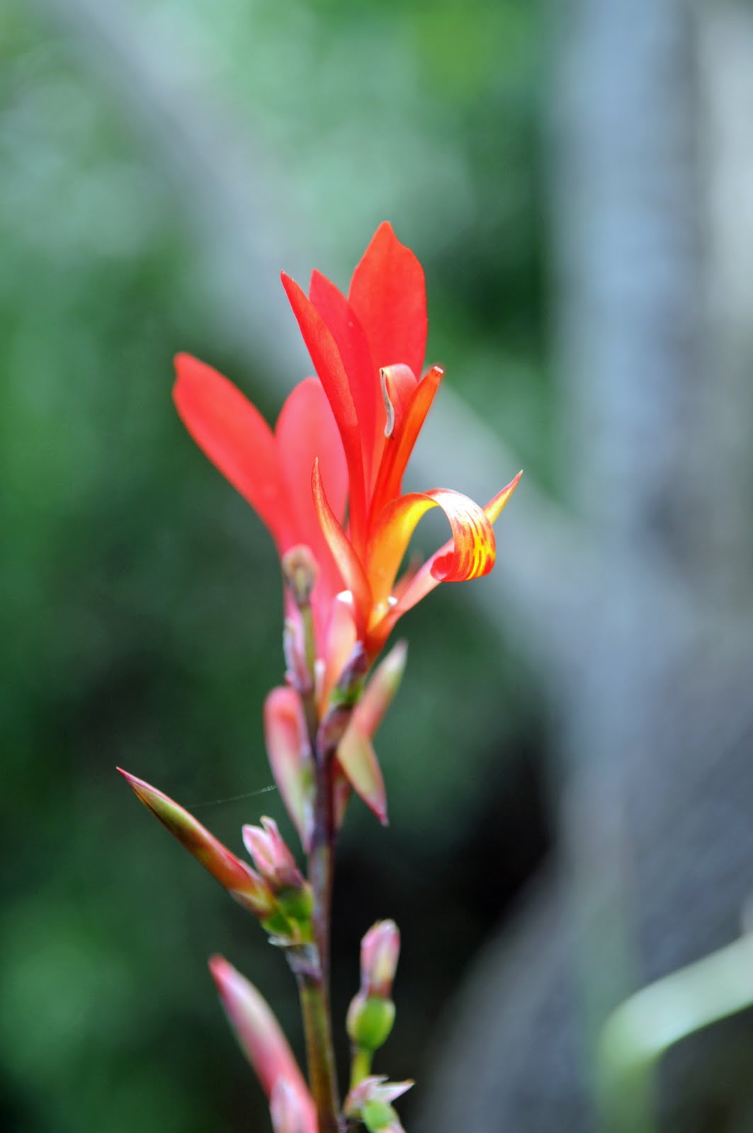
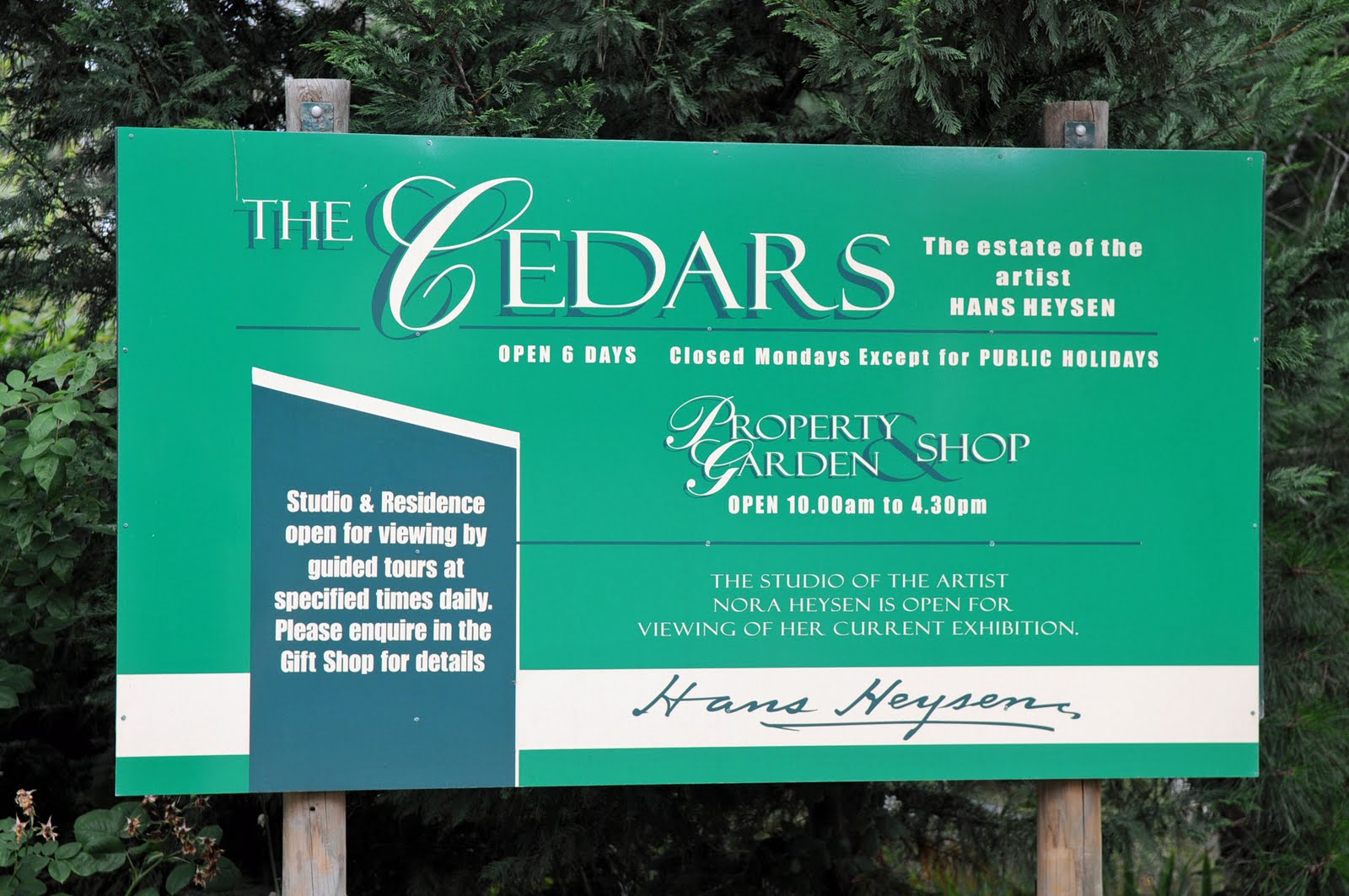
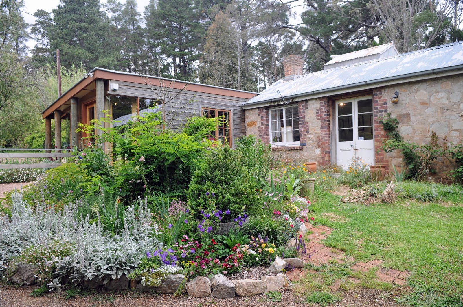
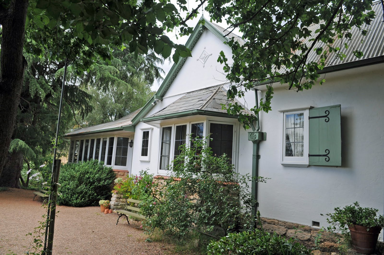
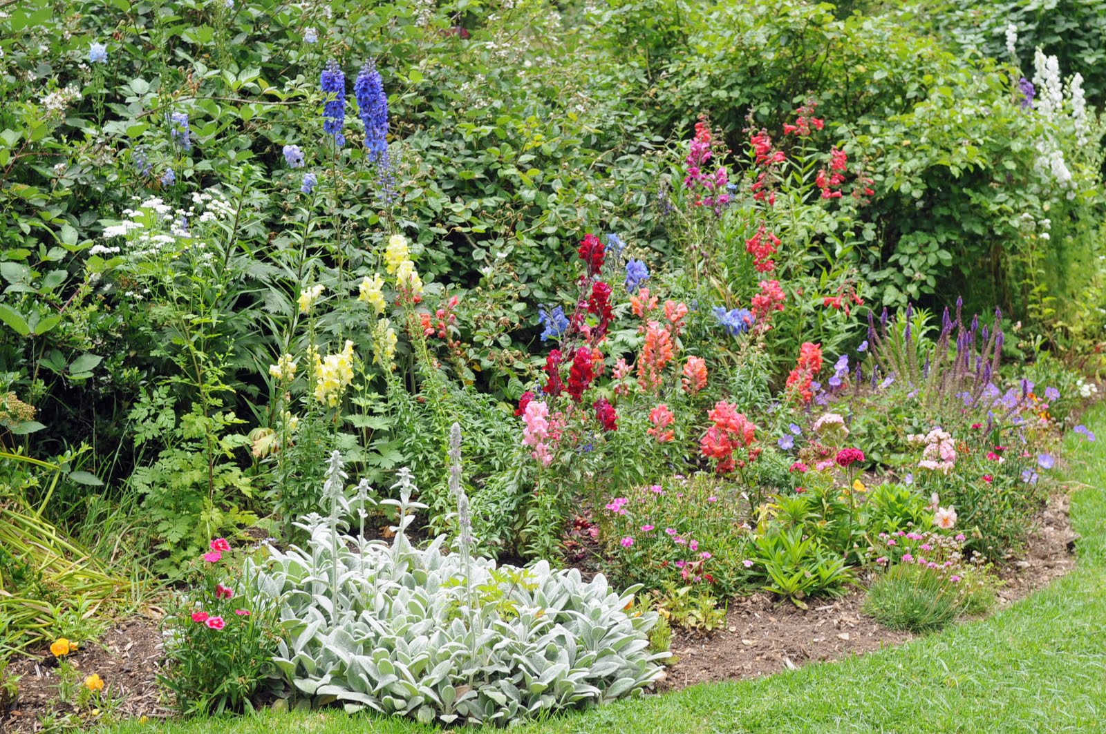
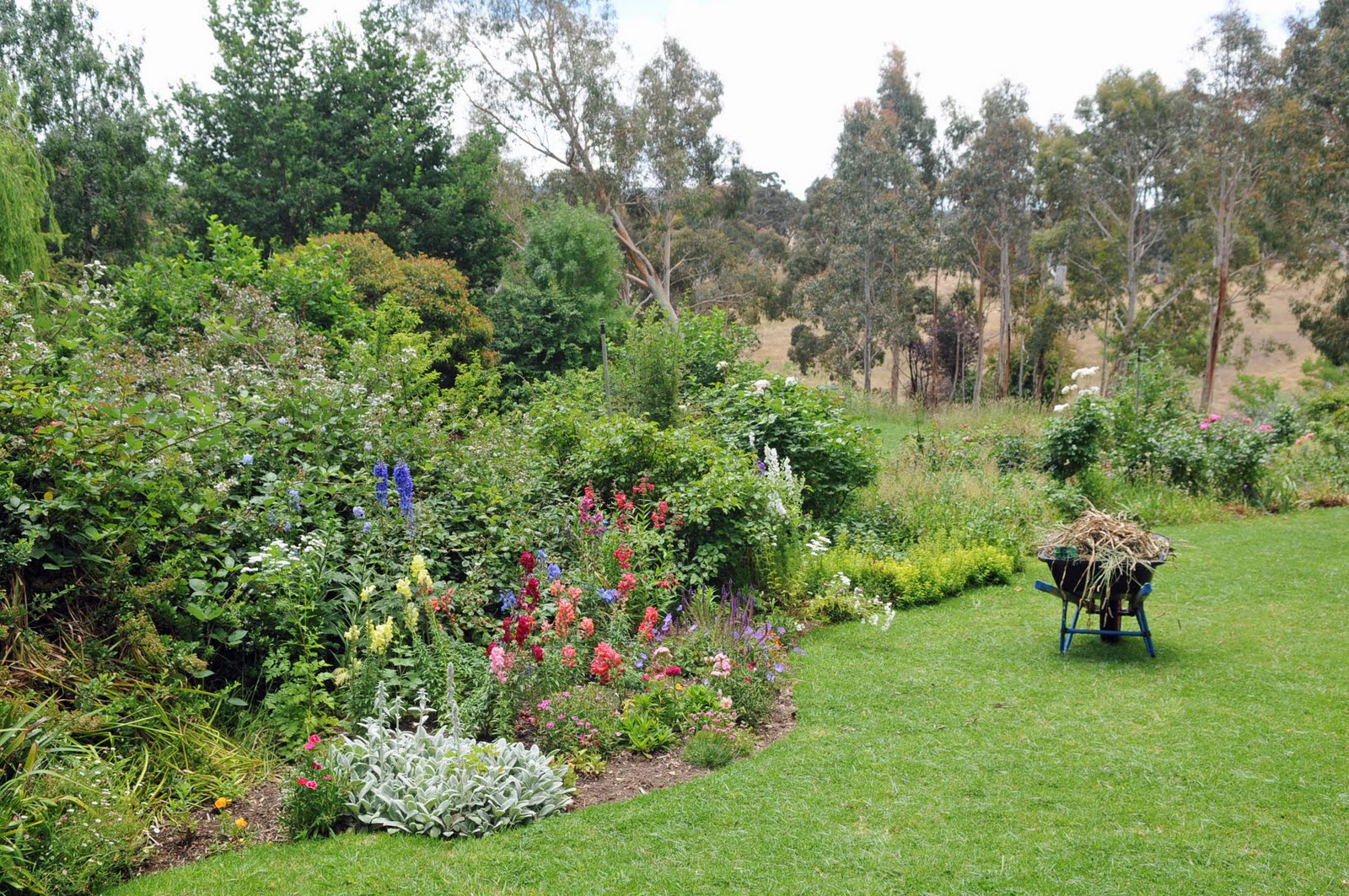
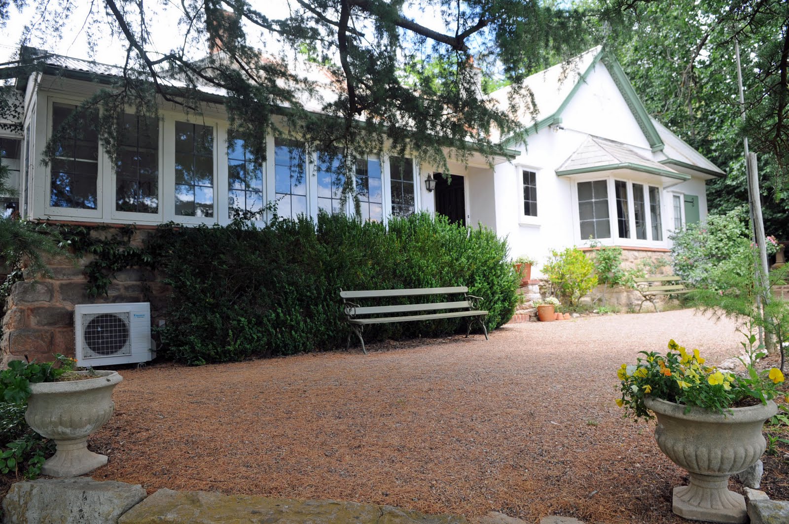
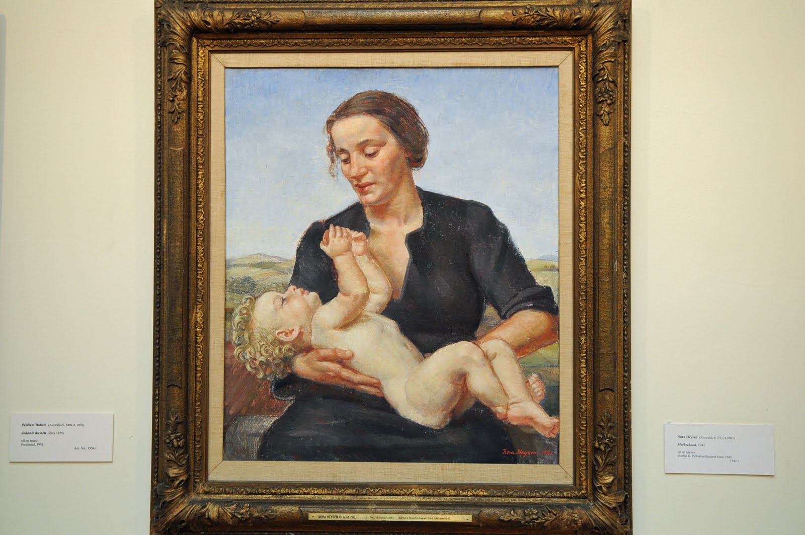
We had spent a few weeks in Adelaide on a previous trip so we just caught up on house keeping and continued on to the Adelaide Hills stopping at Hahndorf for a Kransky and beer for lunch. After lunch we drove to Sir Hans Heyson’s property, “The Cedars”, and went on the tour which included his studio, their home and the garden. He was Dutch but not a Lutheran like the rest of the town. He moved to Hahndorf with his wife Sally in 1908 and bought the property, The Cedars, with the house already on it. The original owners/builders had planted cedar trees and hence the name. Hans and Sally already had 4 children when they moved in and proceeded to have 4 more. Of the 8 children 6 survived and only one of those 6 became an artist and that was Nora.
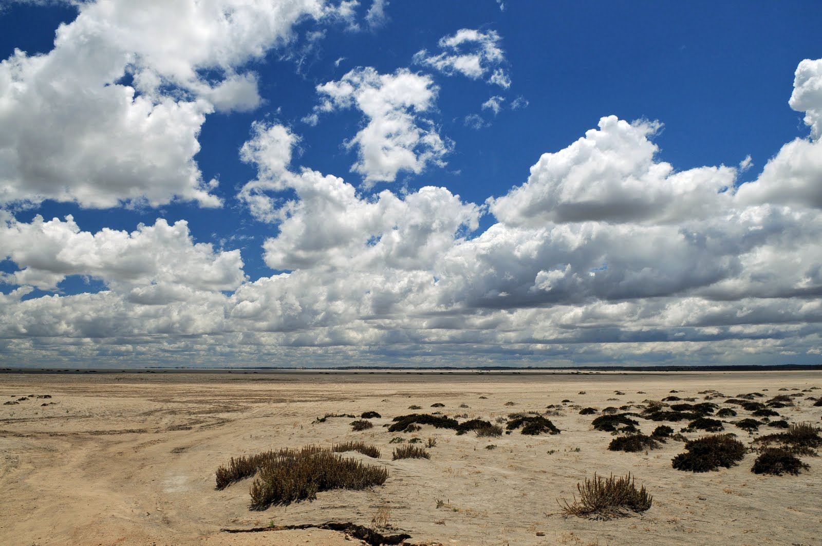
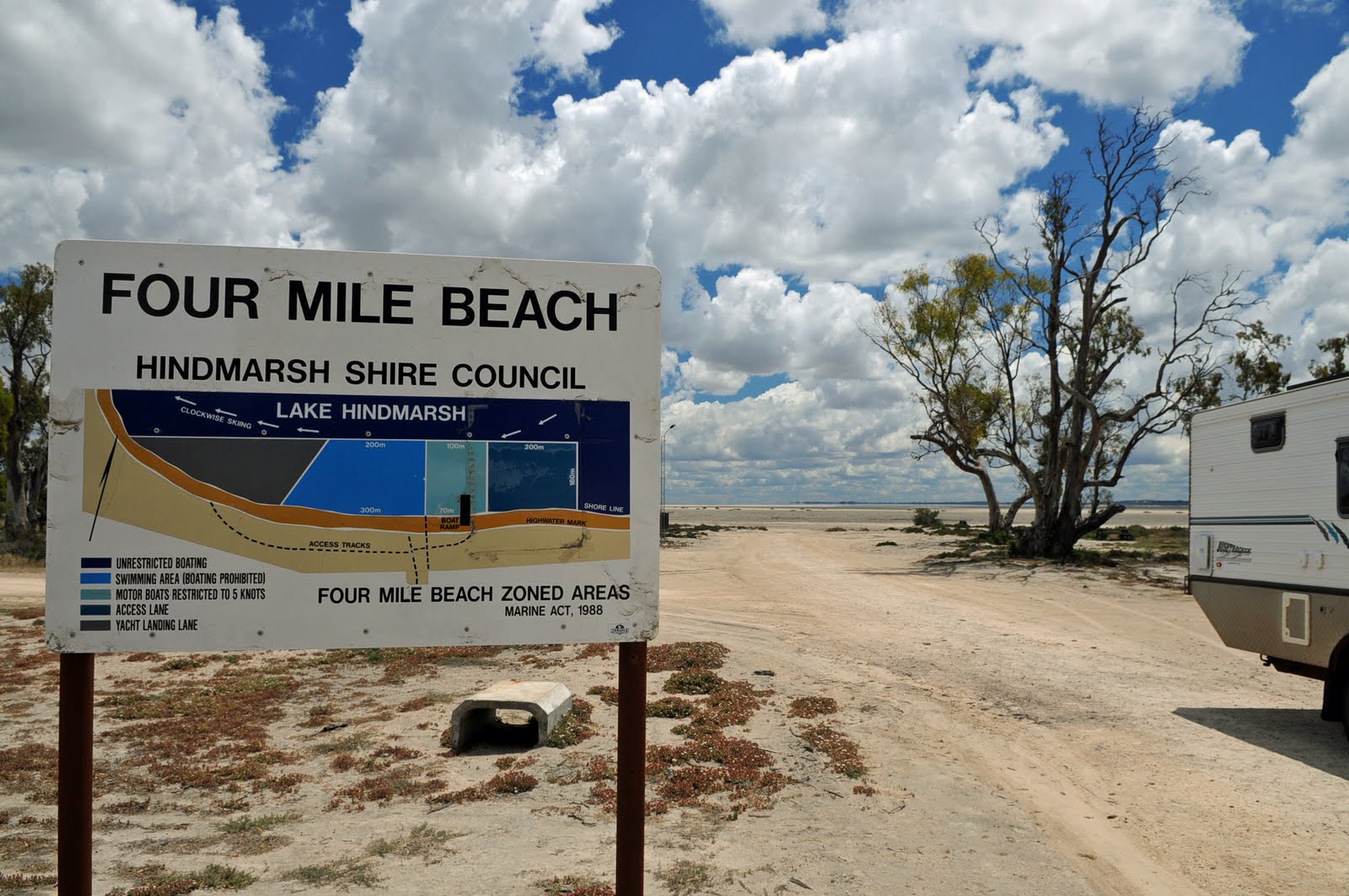
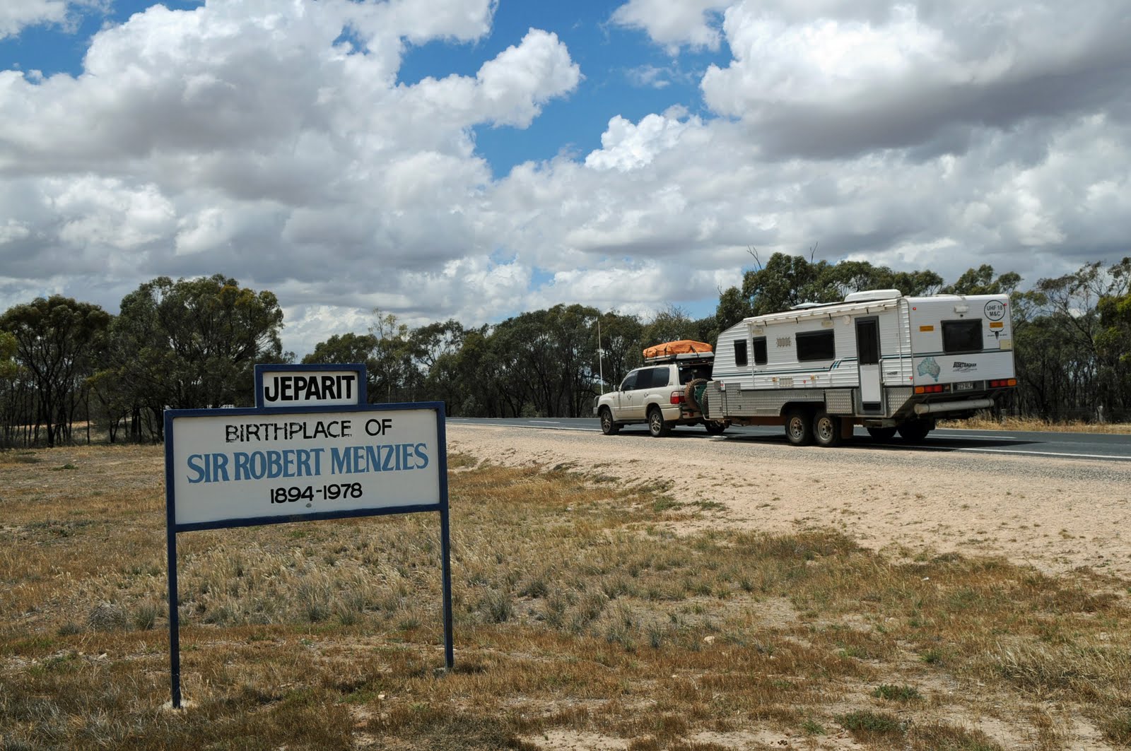
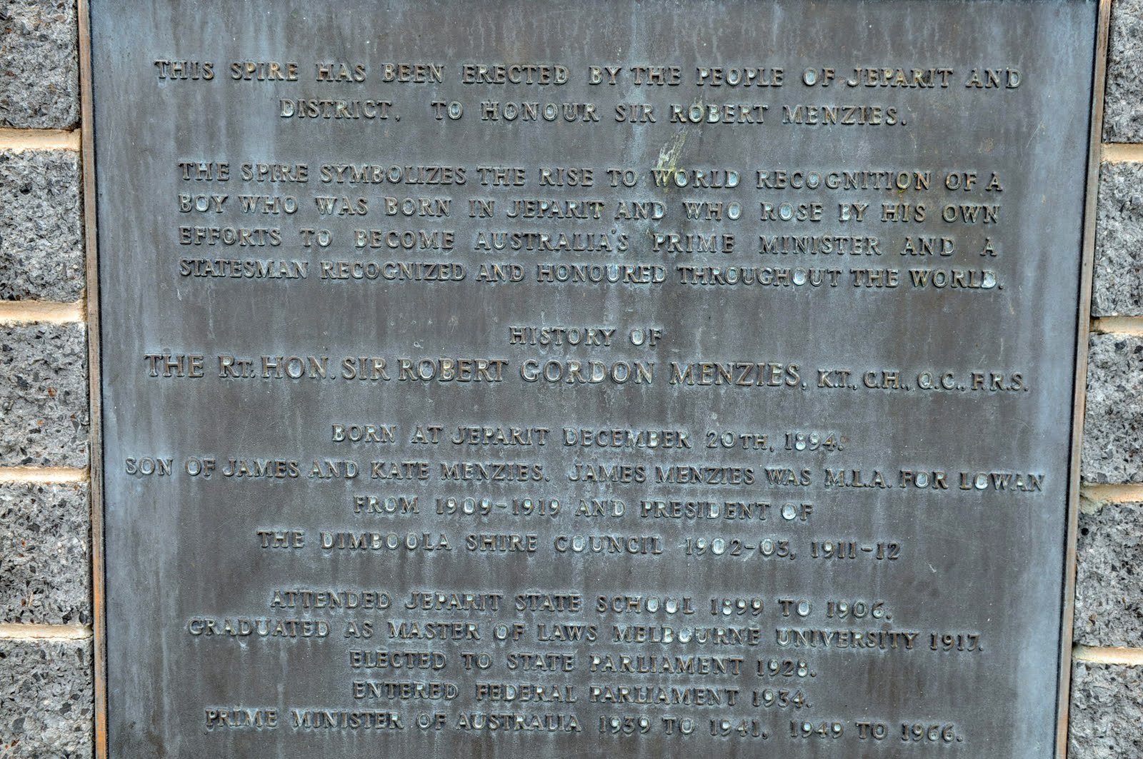
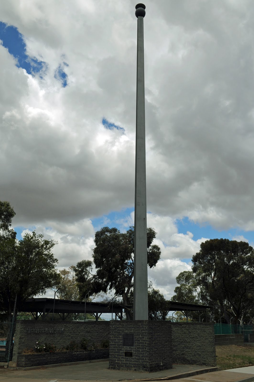
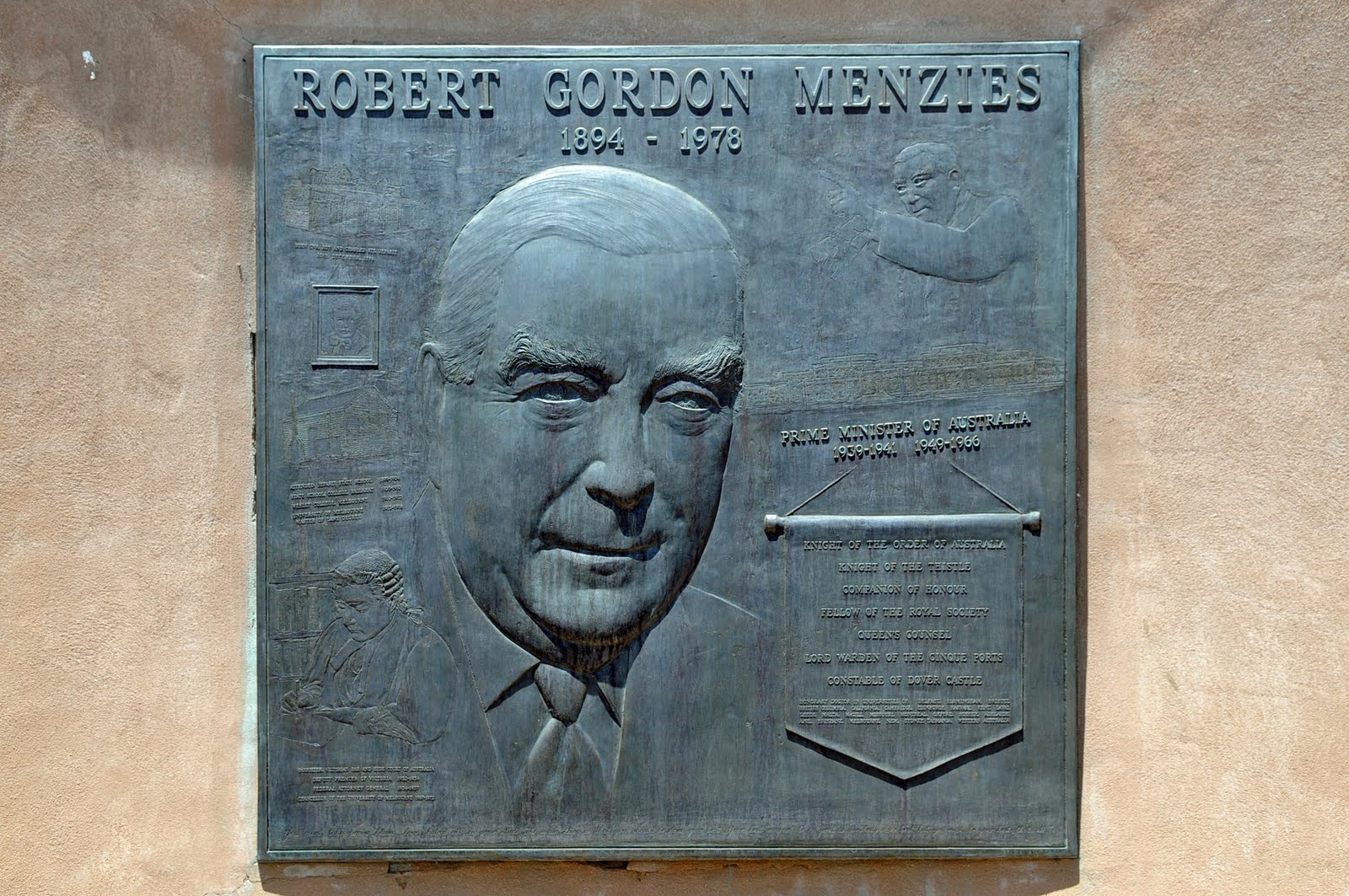
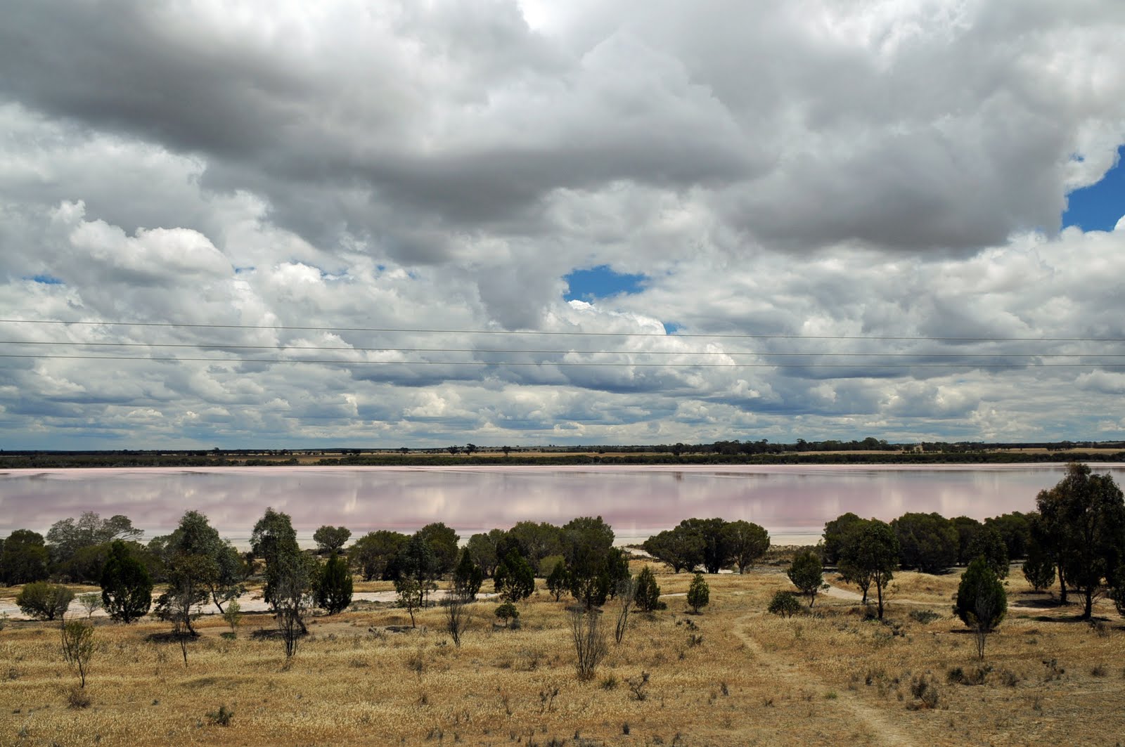
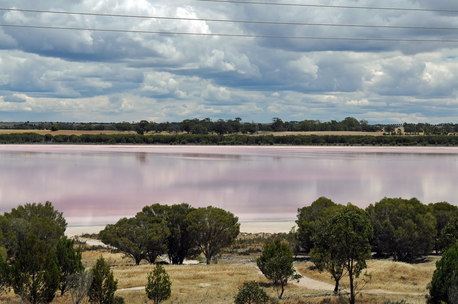
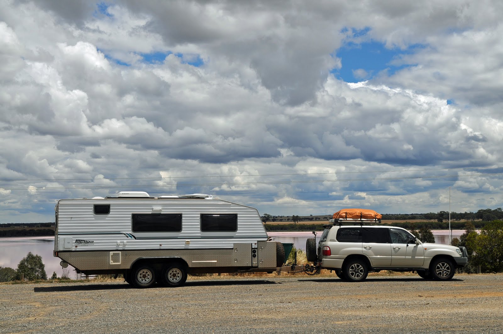
Once in Victoria we took a detour to Jeparit a little town where Sir Robert Menzies was born. There are 2 memorials to him there; a plaque with his achievements listed and also a very tall metal tower to symbolise the heights to which anyone can reach if they want to. We stopped for lunch at the pink lake at Dimboola.
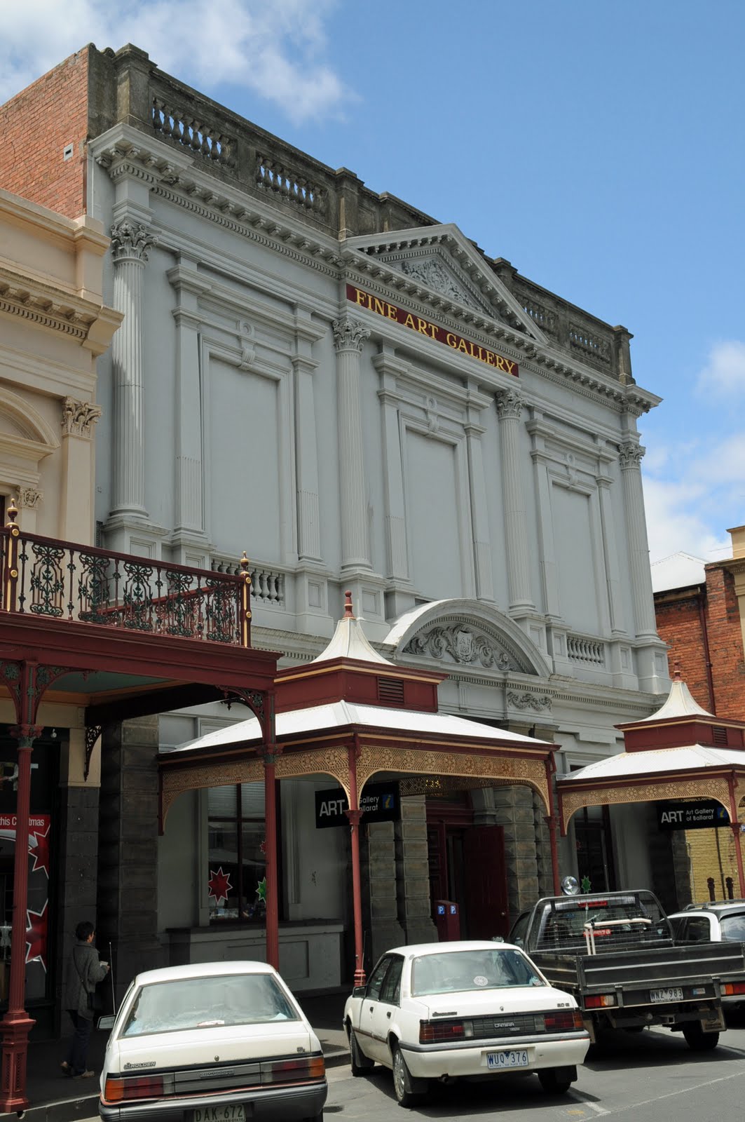
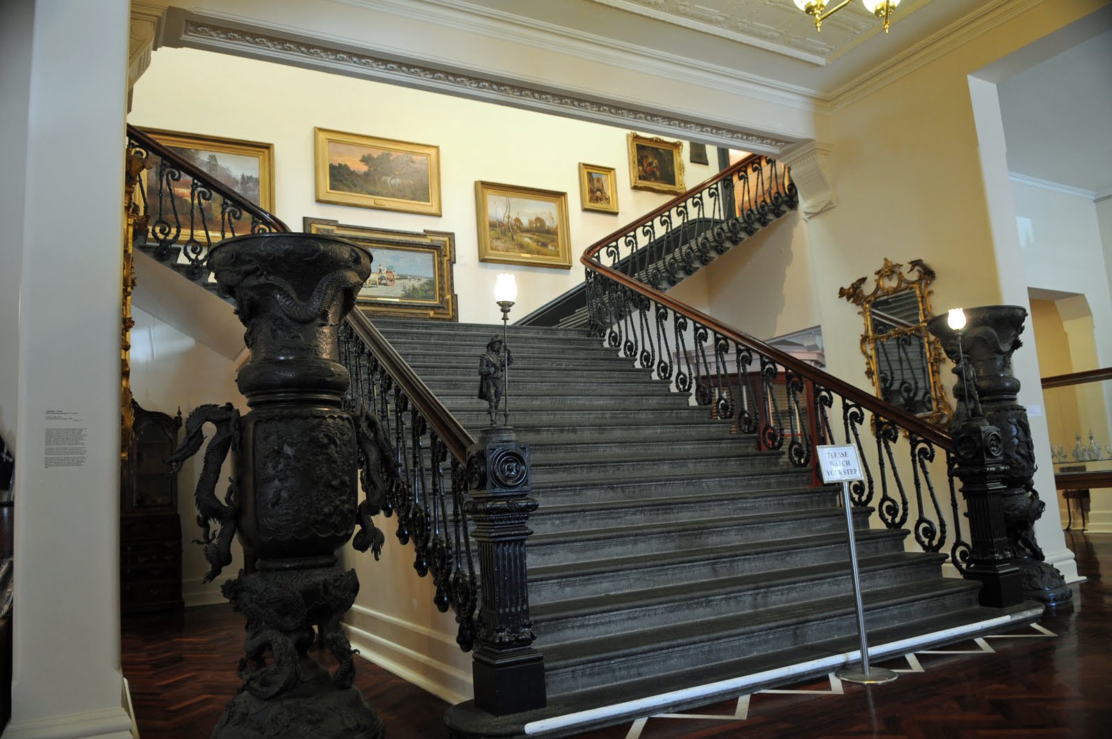
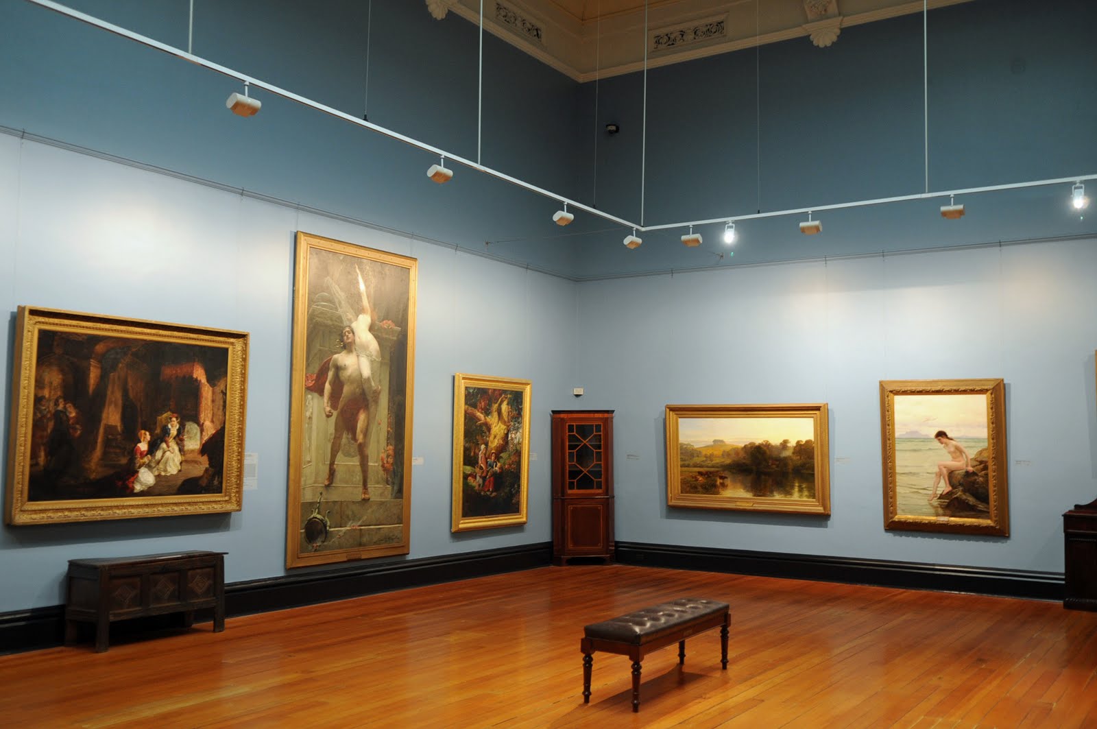
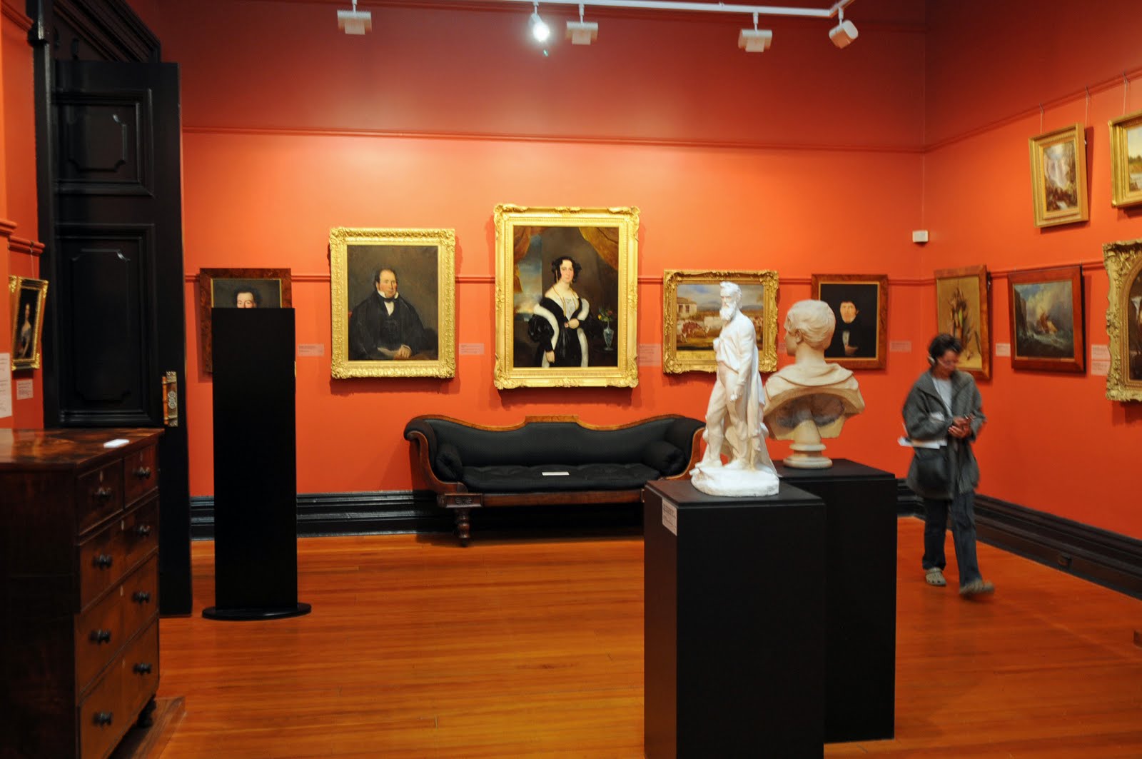
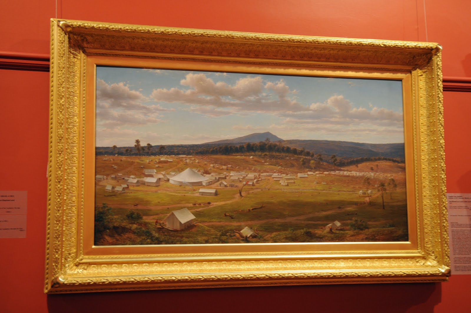
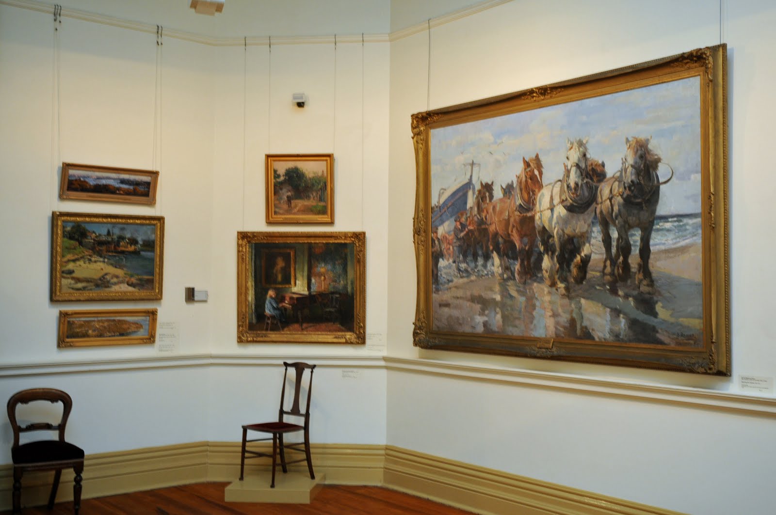
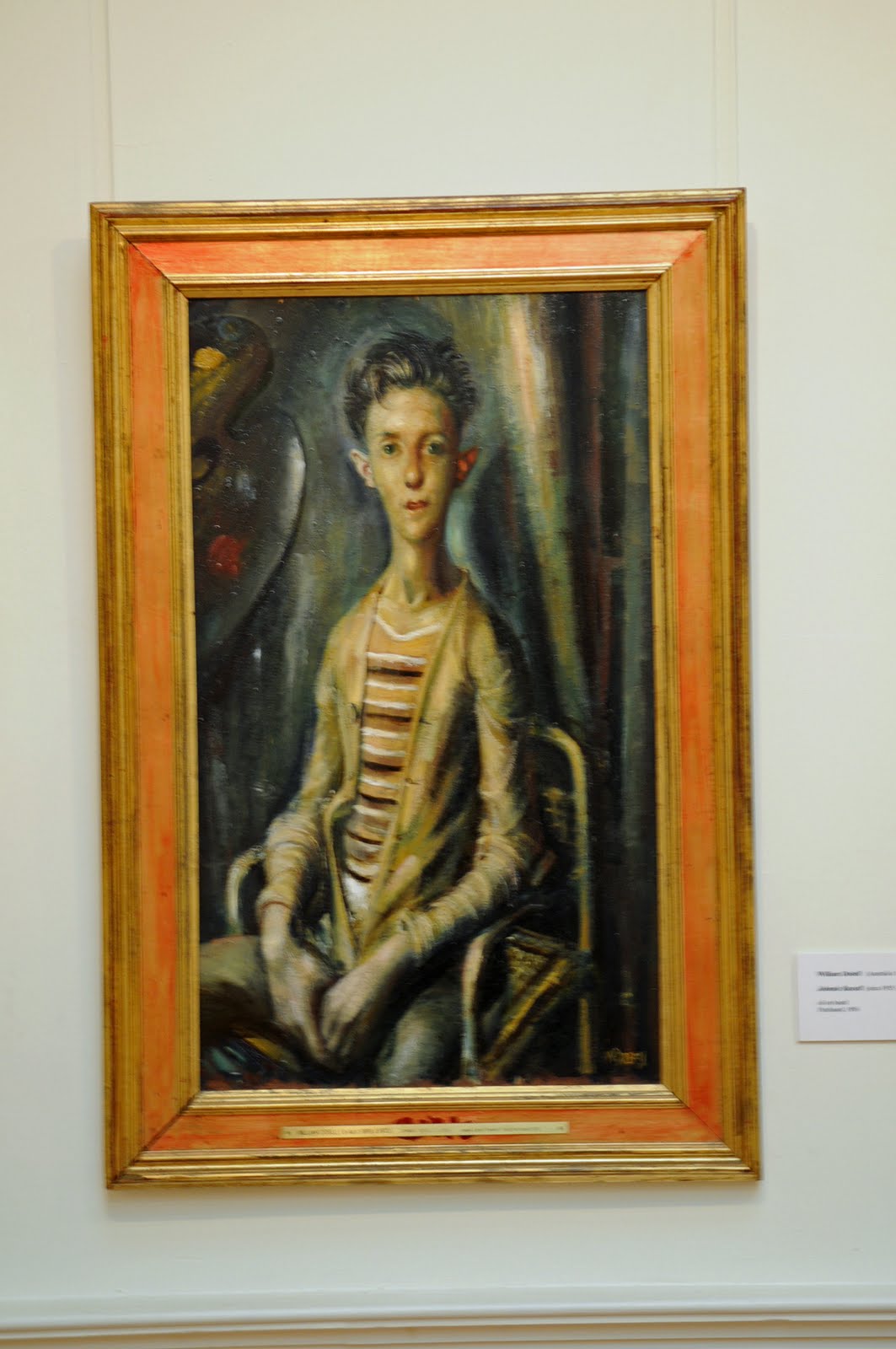
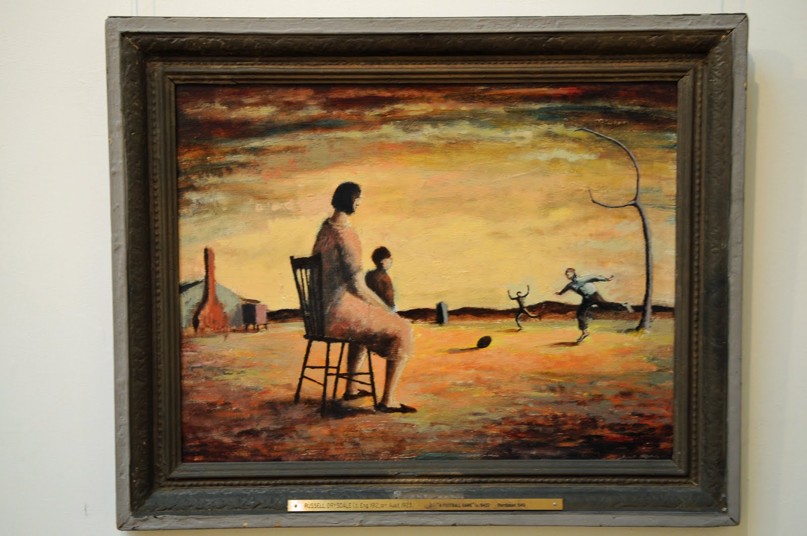
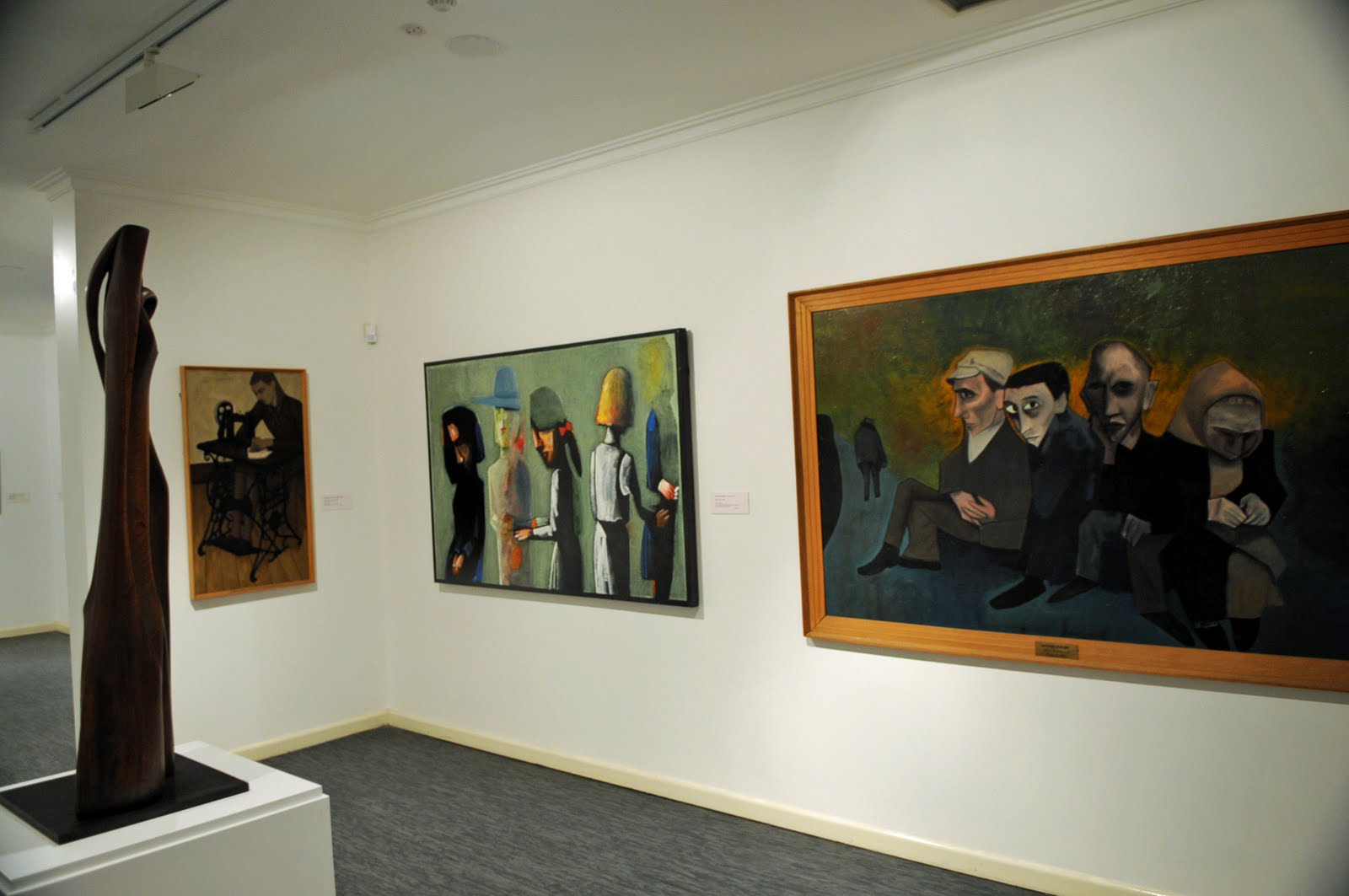
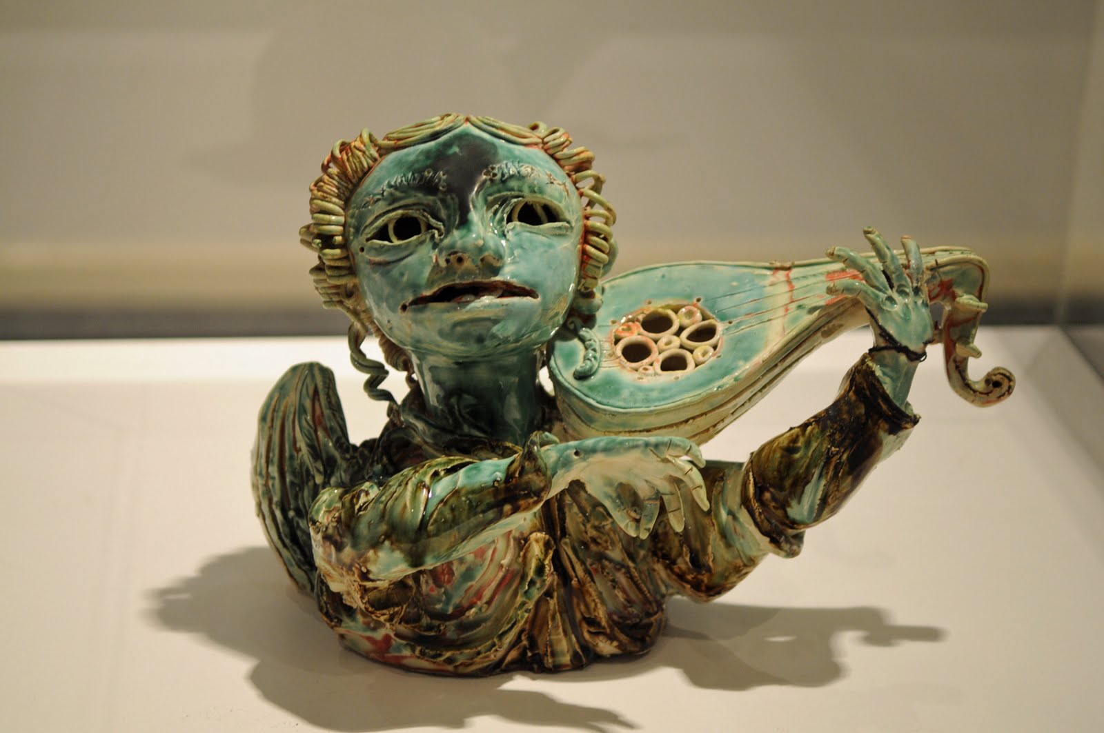
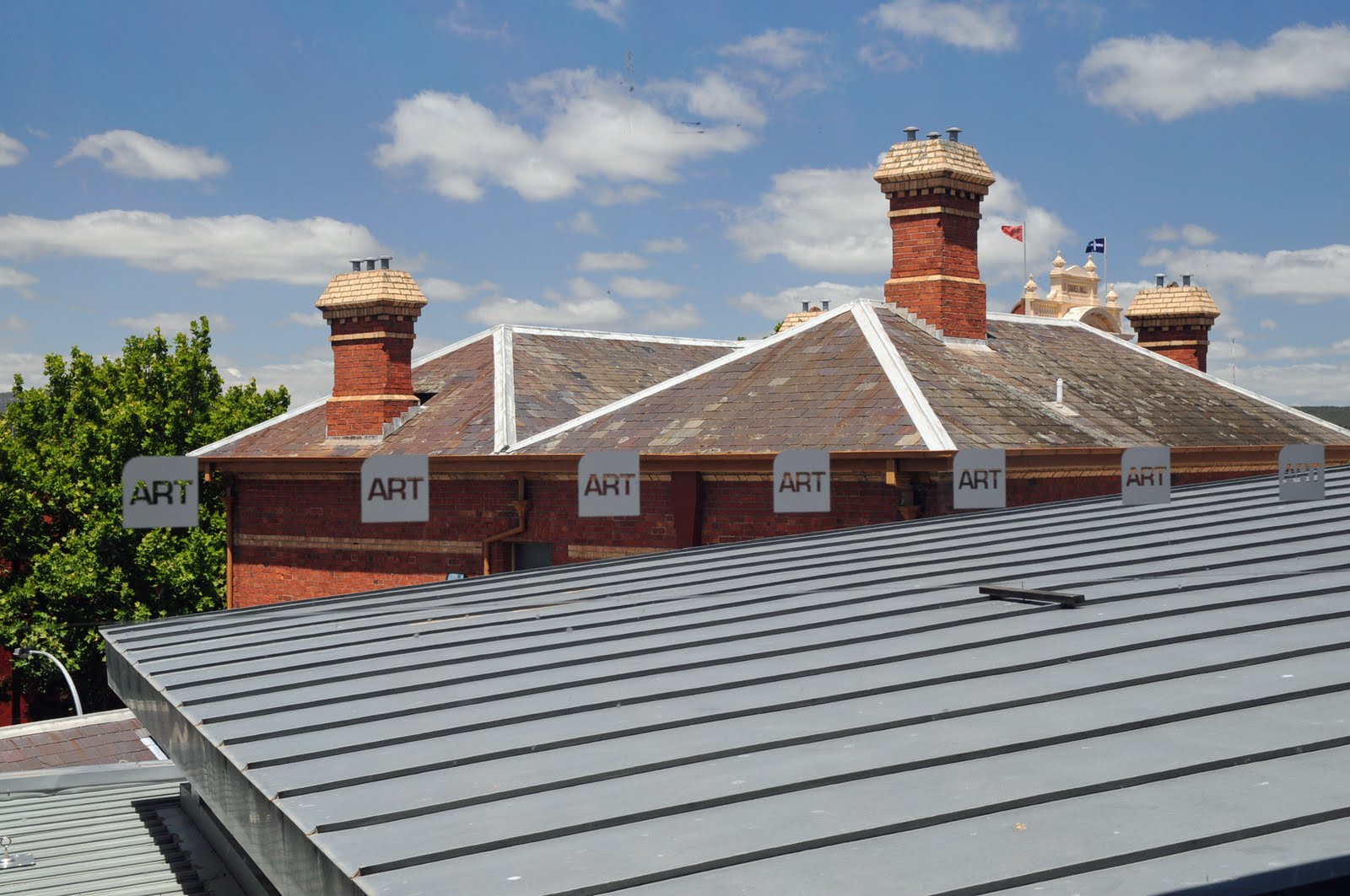
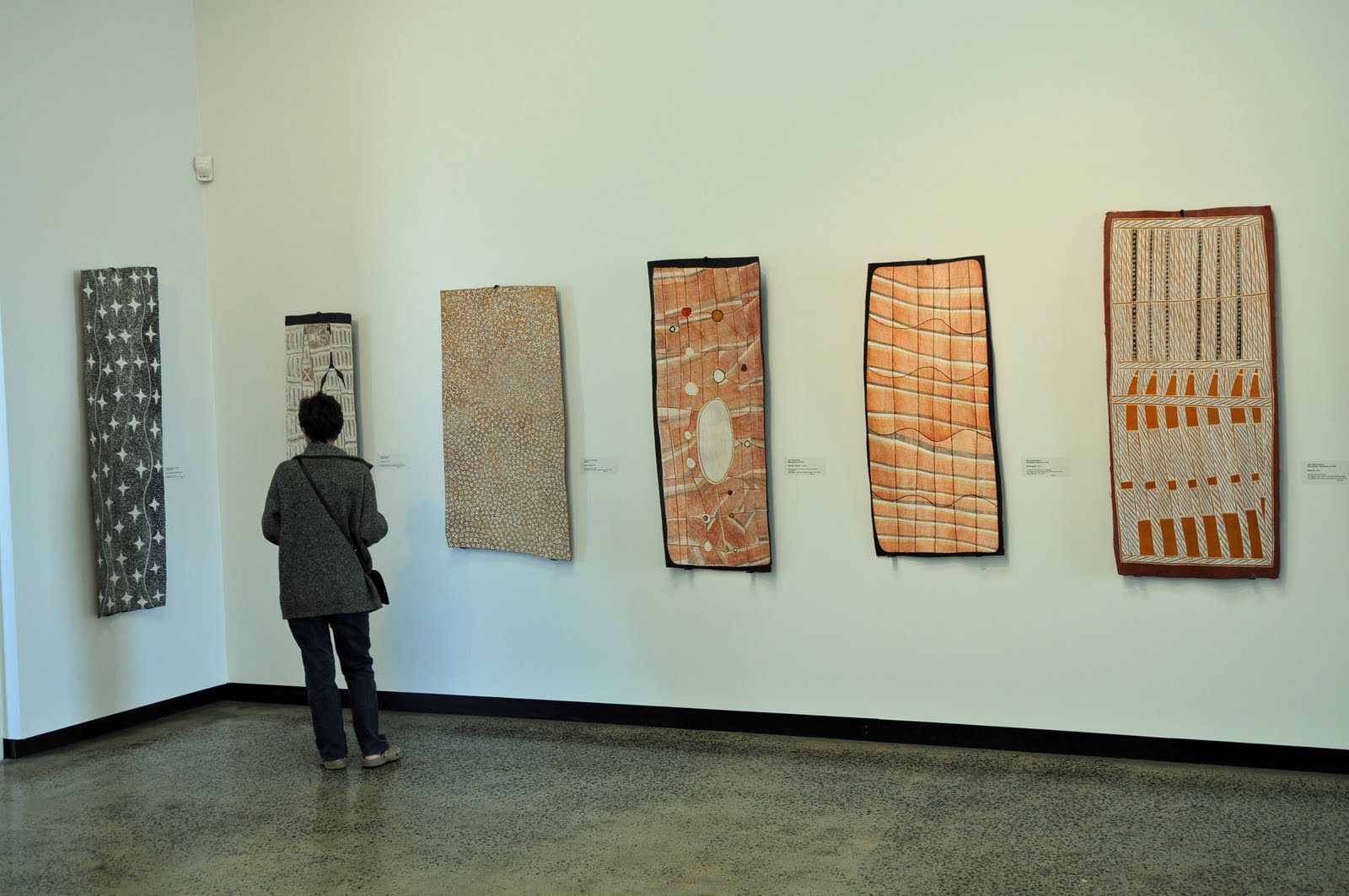
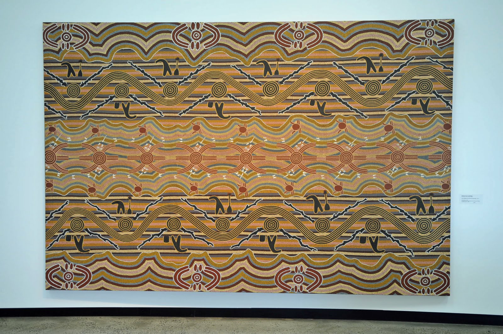
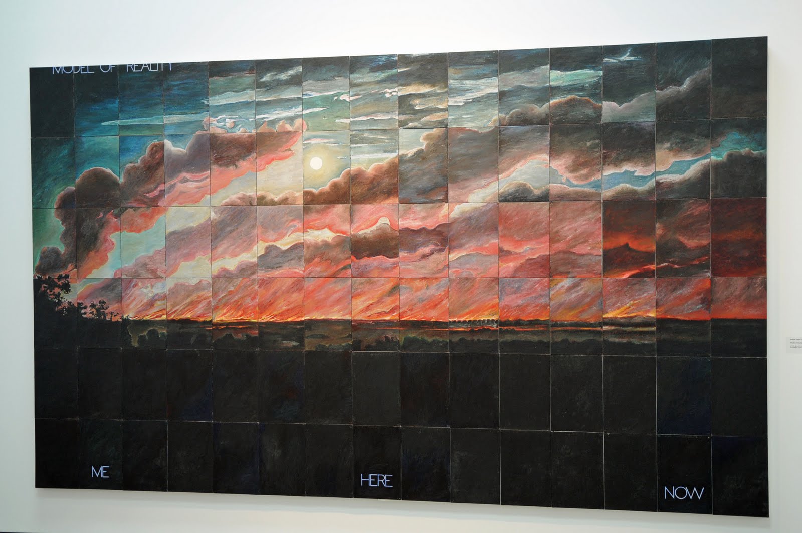
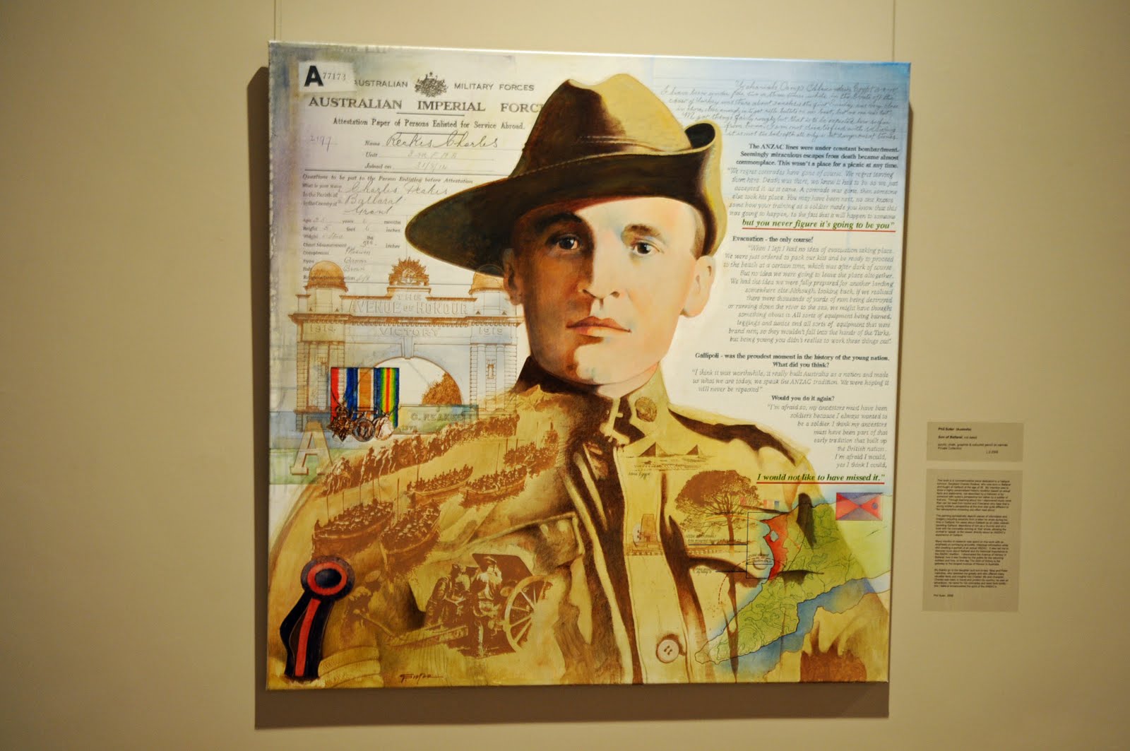
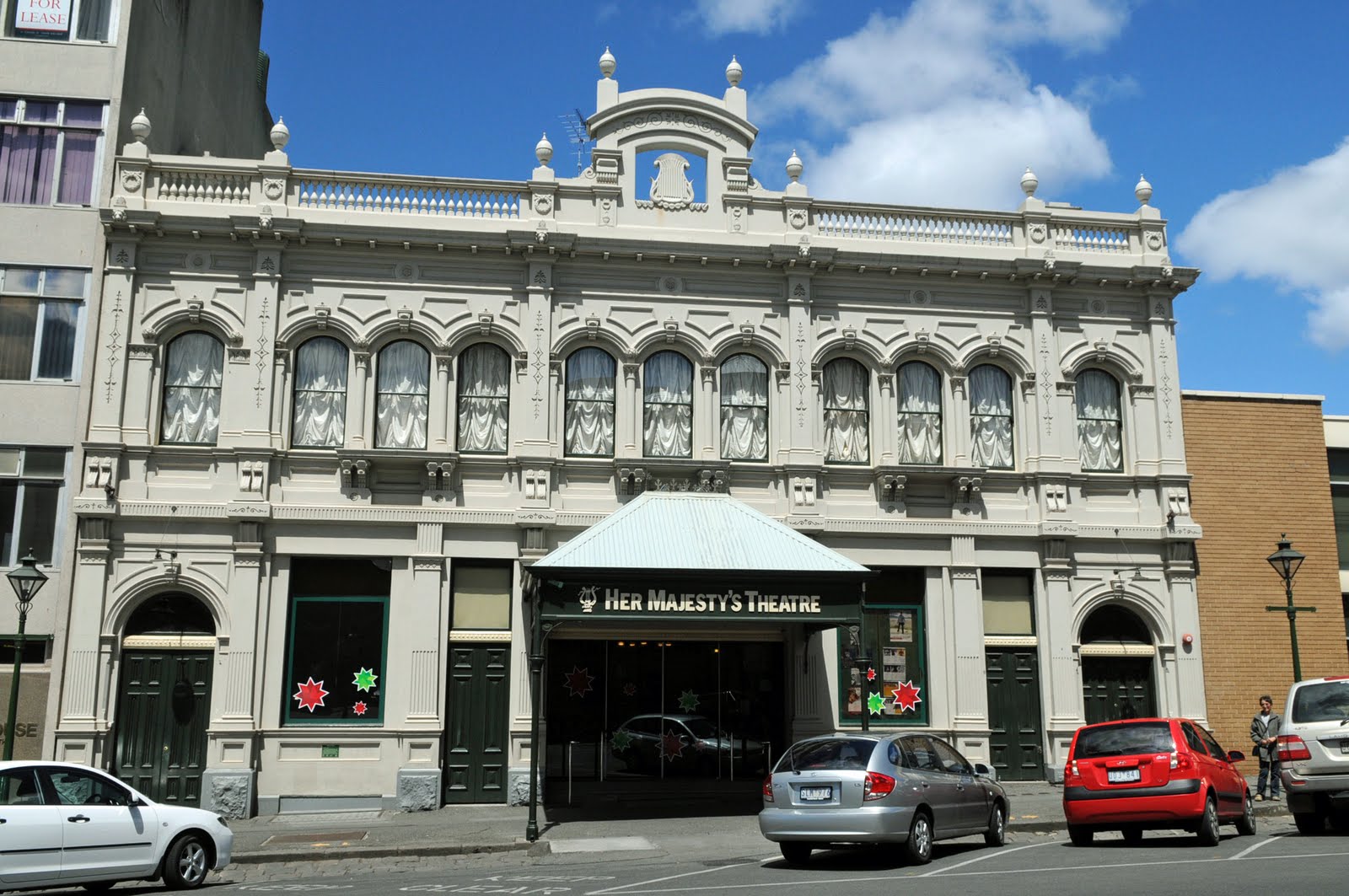
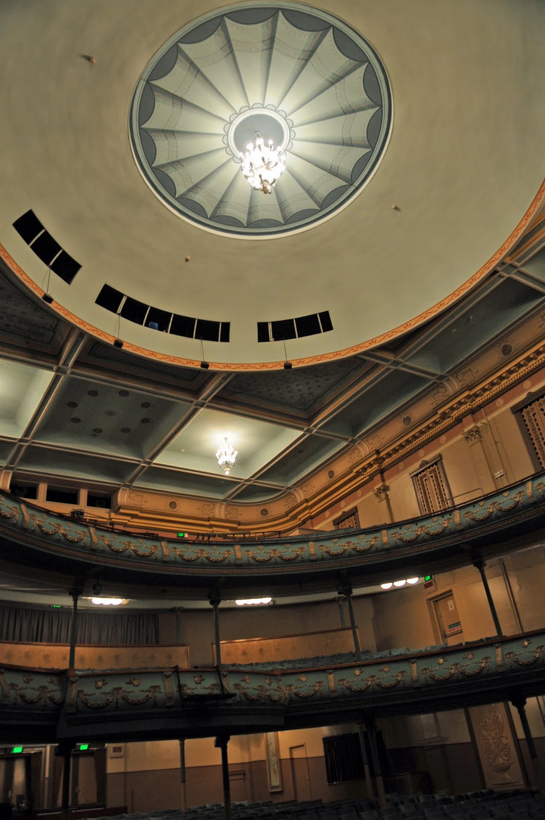
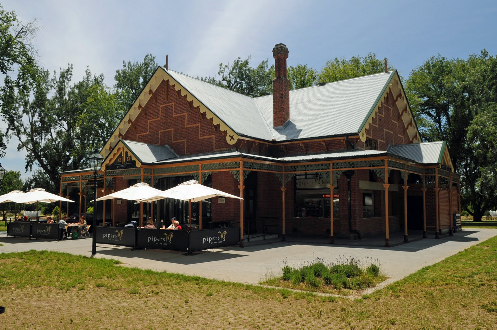
We stopped for a few days in Ballarat to visit friends and do some sight seeing. We drove along the beautiful Remembrance Drive with its beautiful trees, each of then with a plaque. We spent a few hours in the beautiful art gallery which has a fantastic collection of mainly Australian art and each room is dedicated to a particular era or decade. It also has the original Eureka flag which is huge and in pieces but it is now kept behind glass. We drove down to Her Majesty’s Theatre which has been in continuous use since it was built in 1875 even though it was mainly used as a picture theatre in the mid 1900s
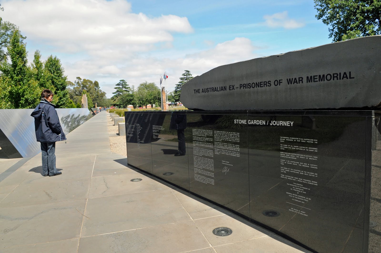
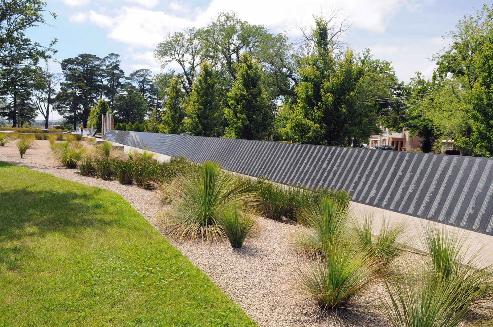
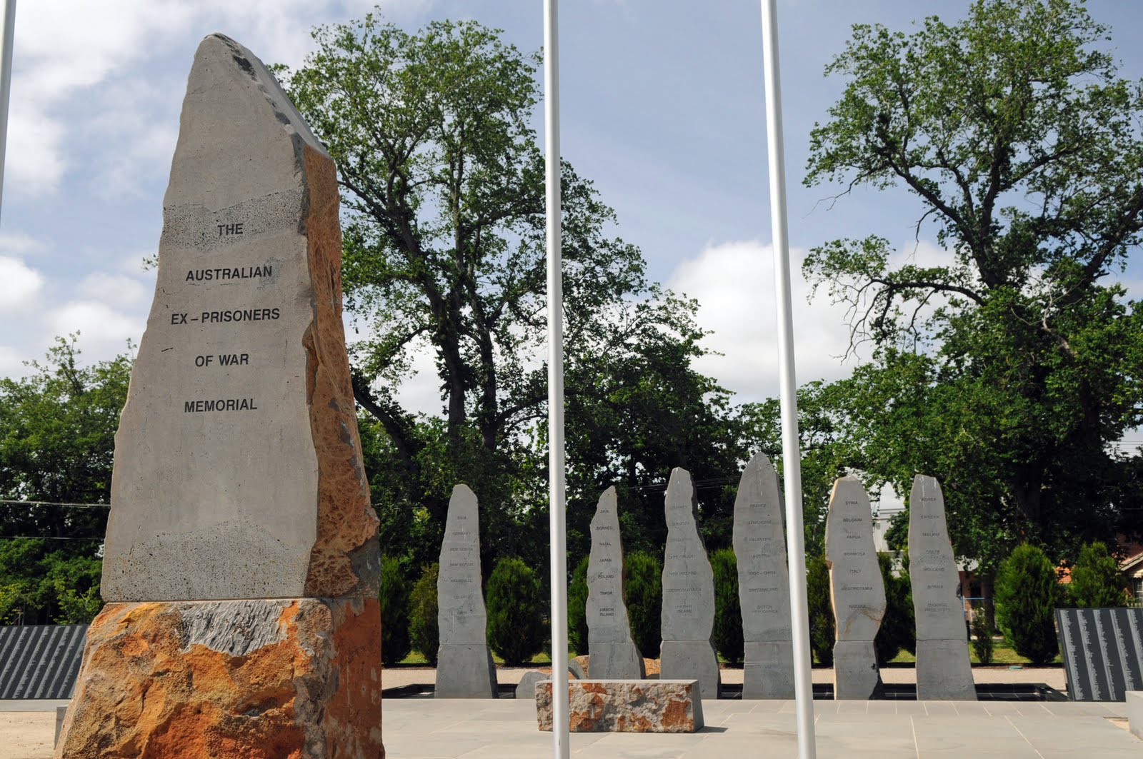
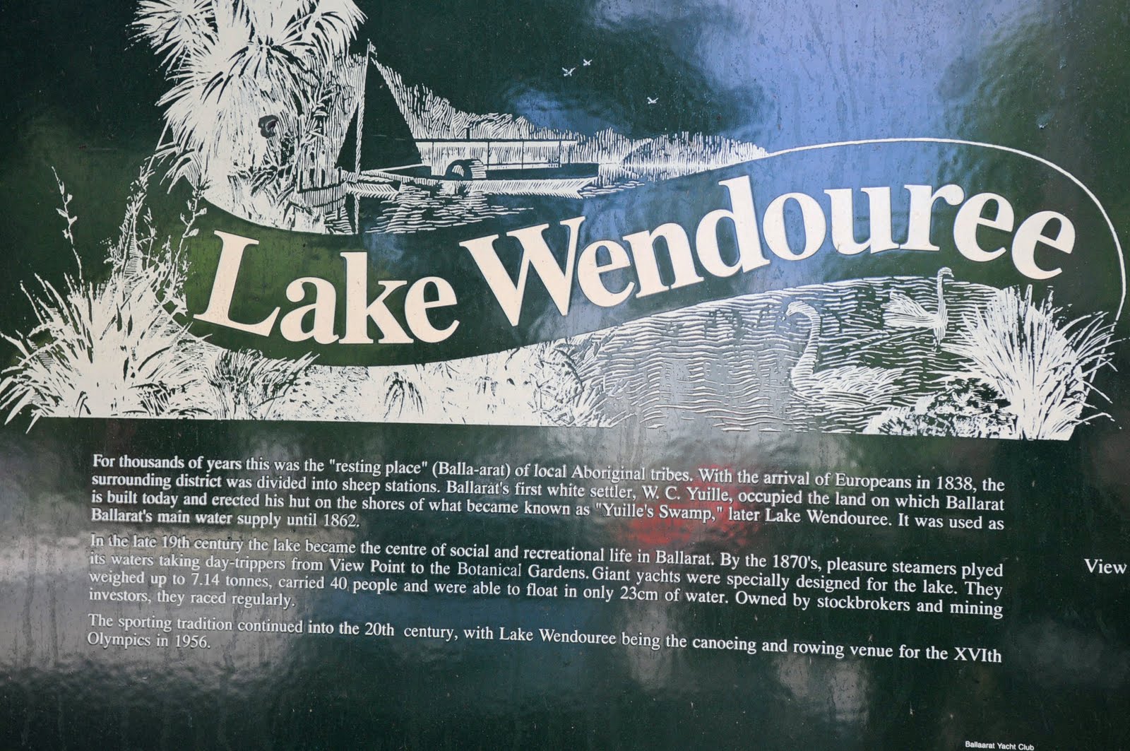
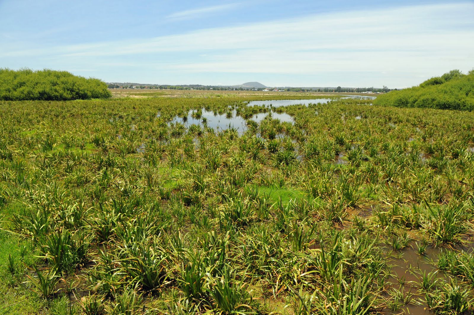
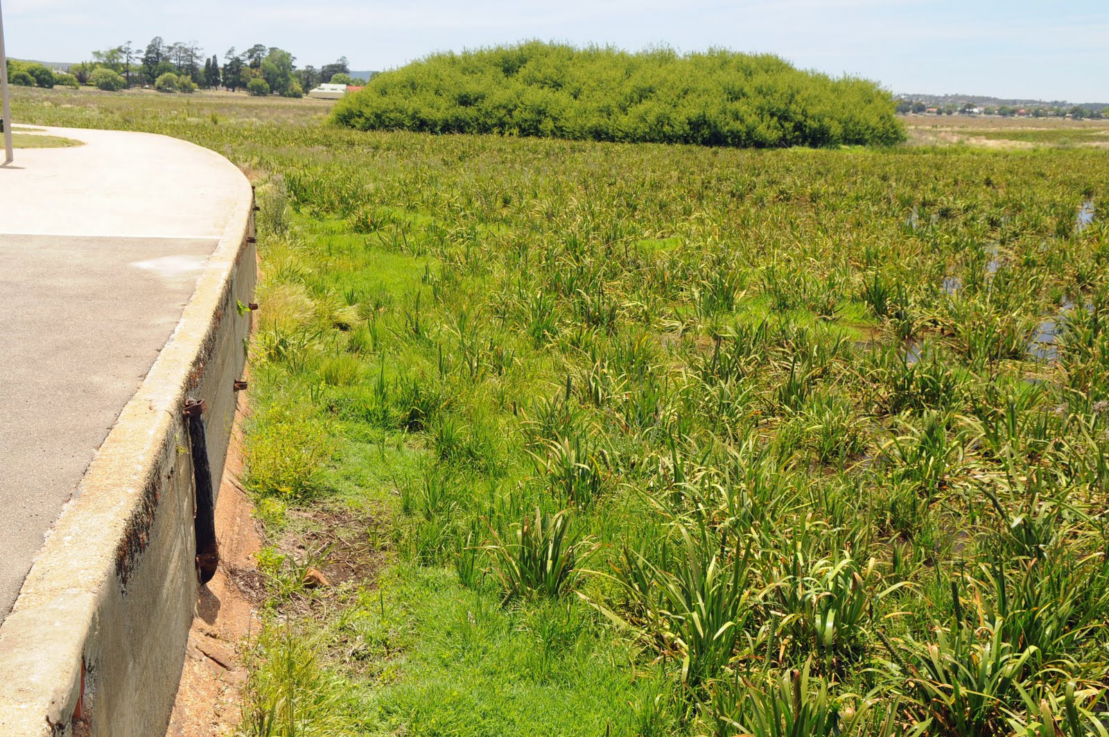
We drove around Lake Wendouree where there was only a little water and there was so much grass in the lake that it had actually been cut. We stopped at the beautiful War Memorial to the Australian soldiers that were prisoners of war in all the wars where we have fought. It was an impressive monument.
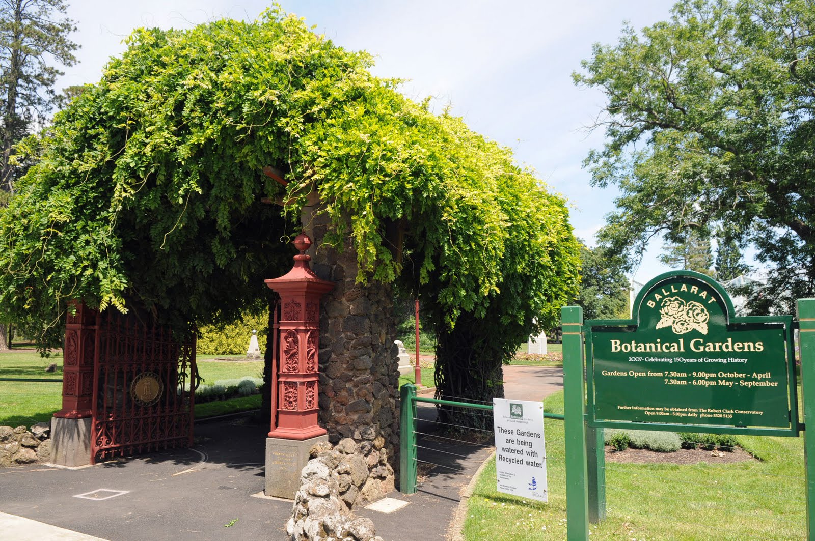
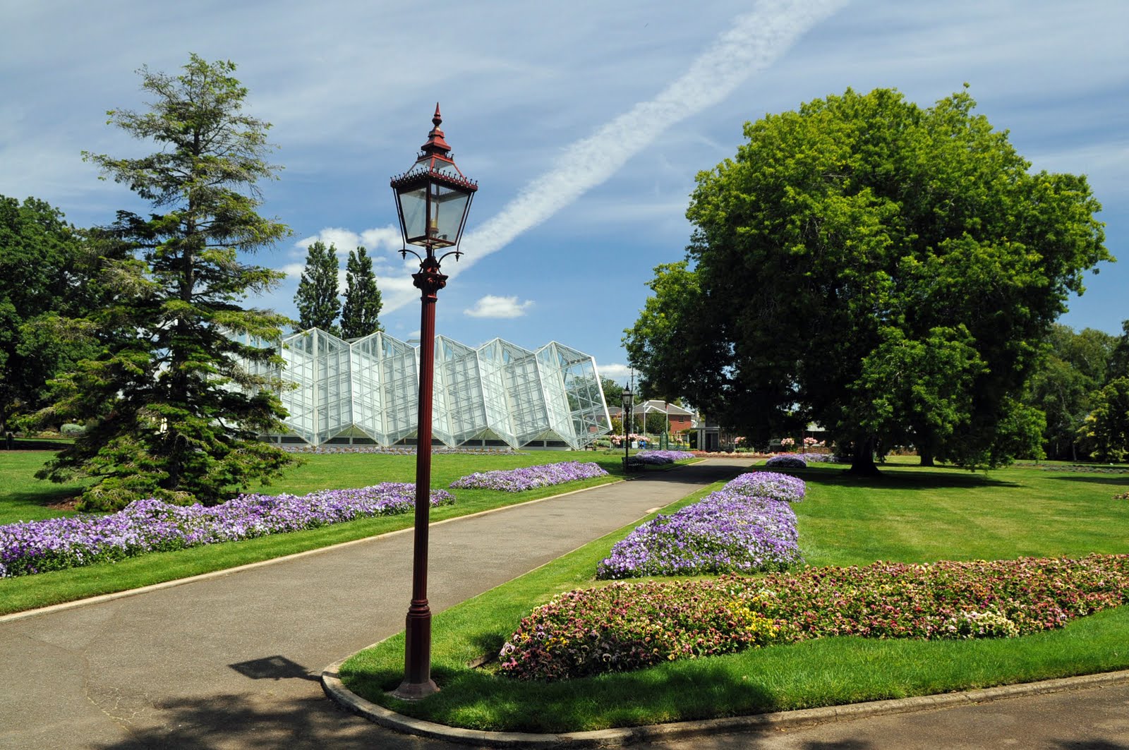
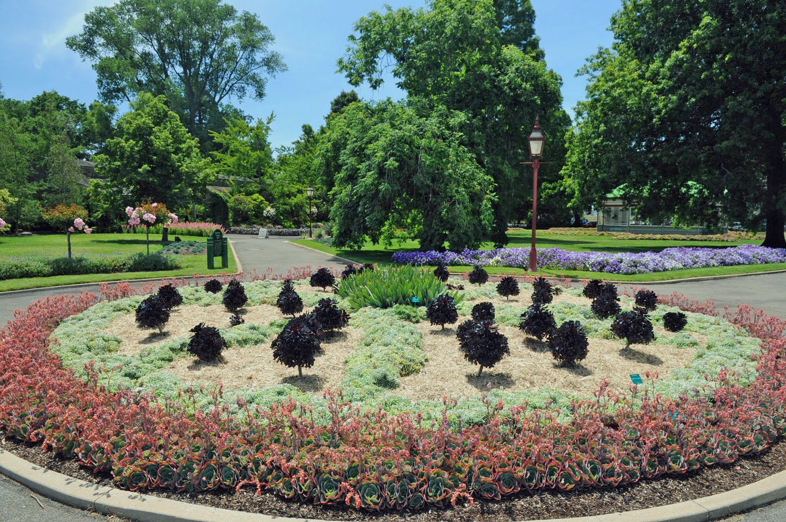
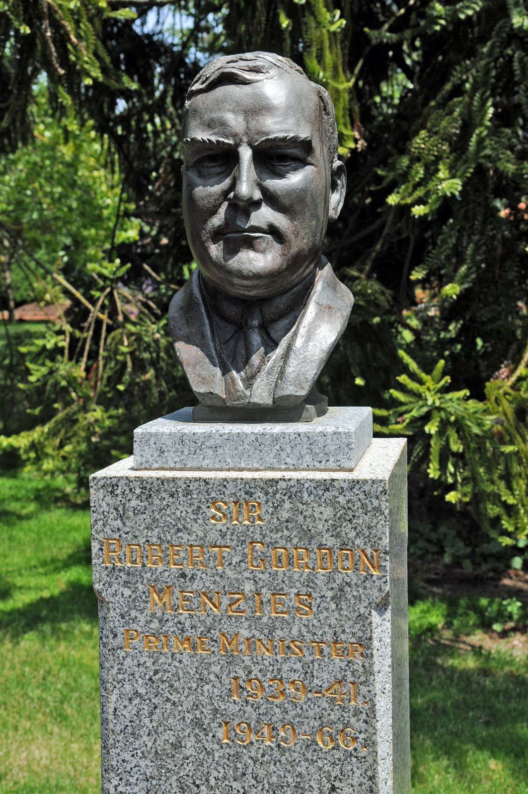
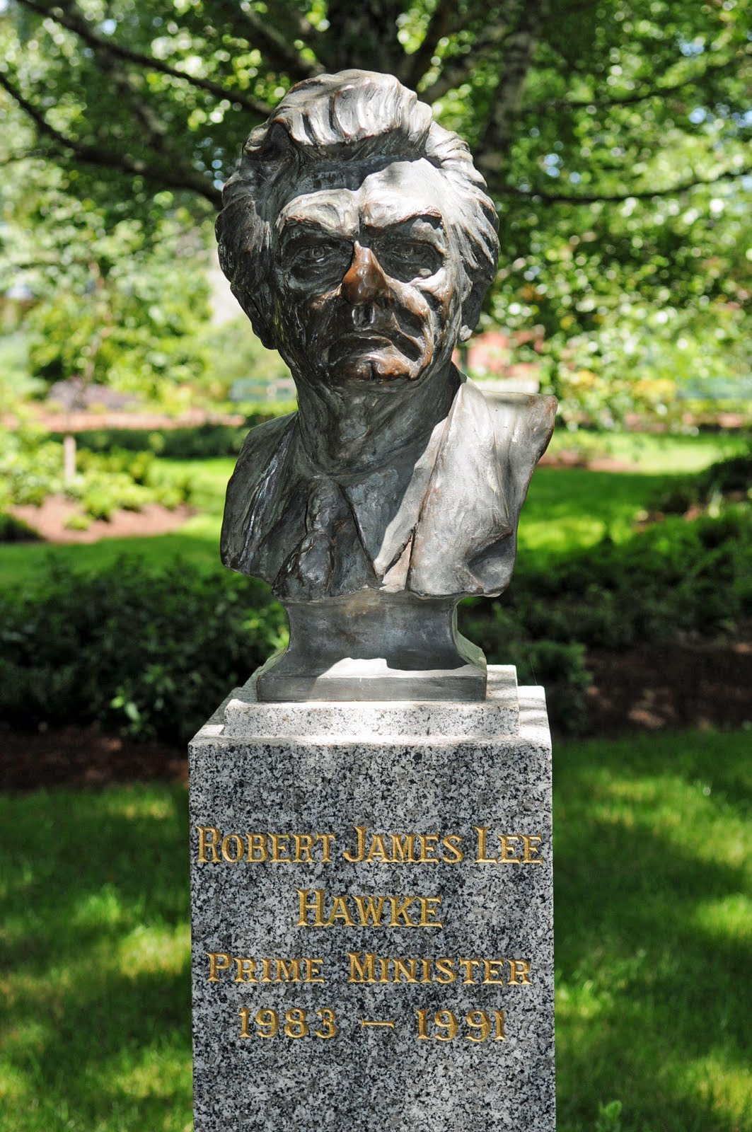
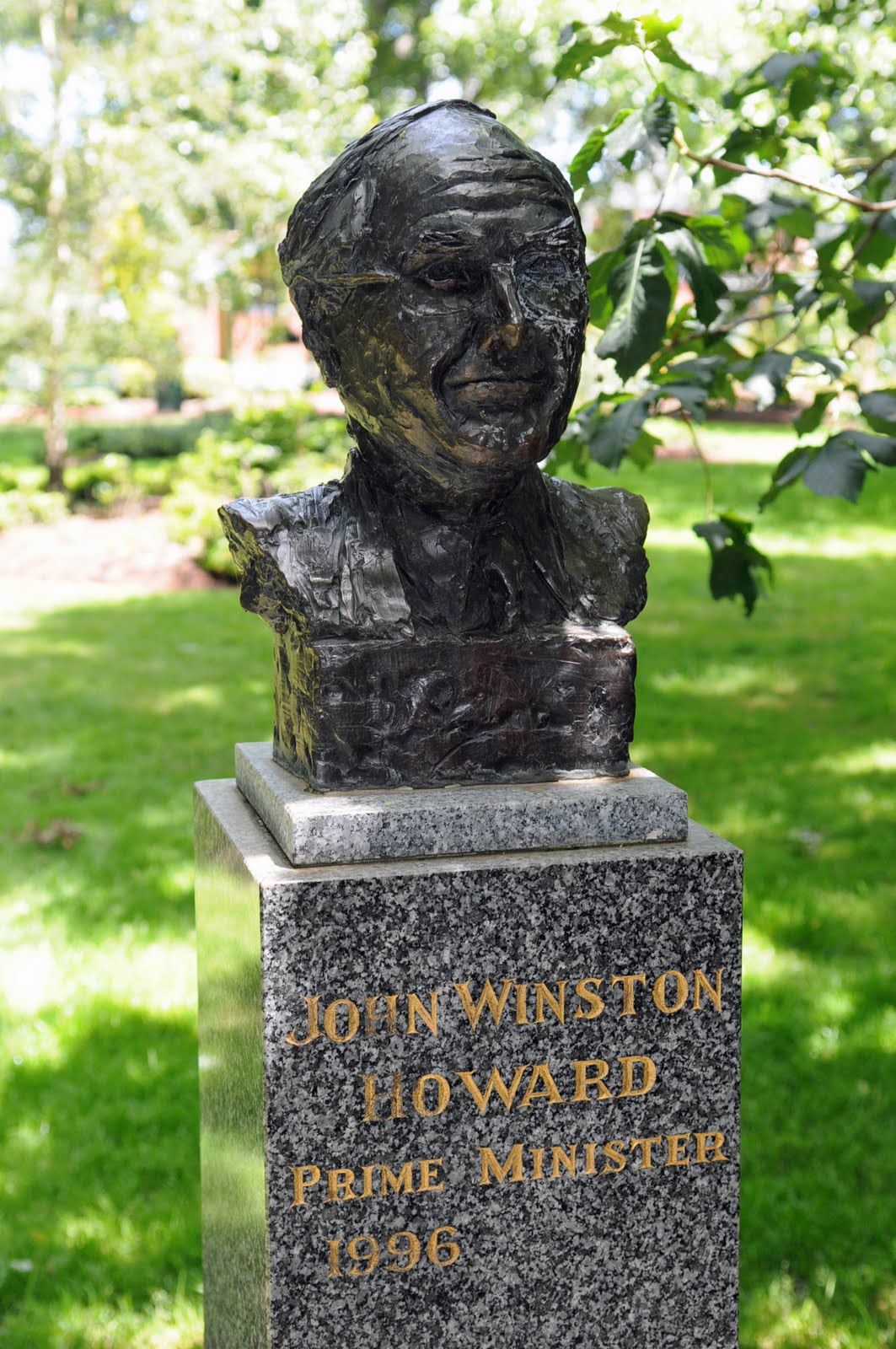
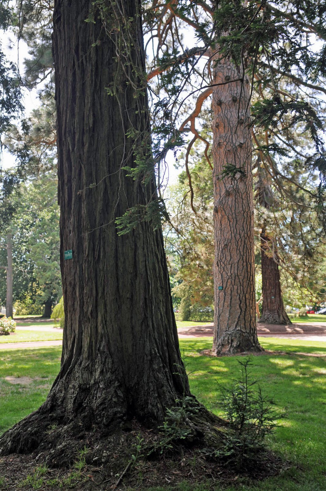
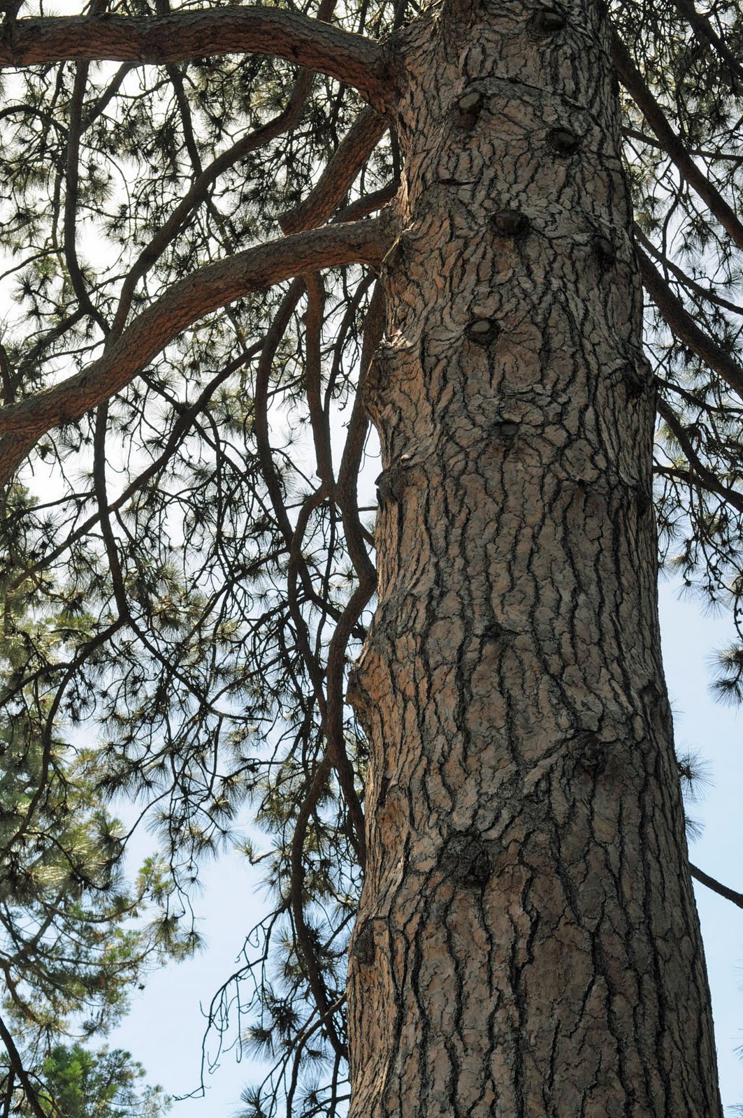
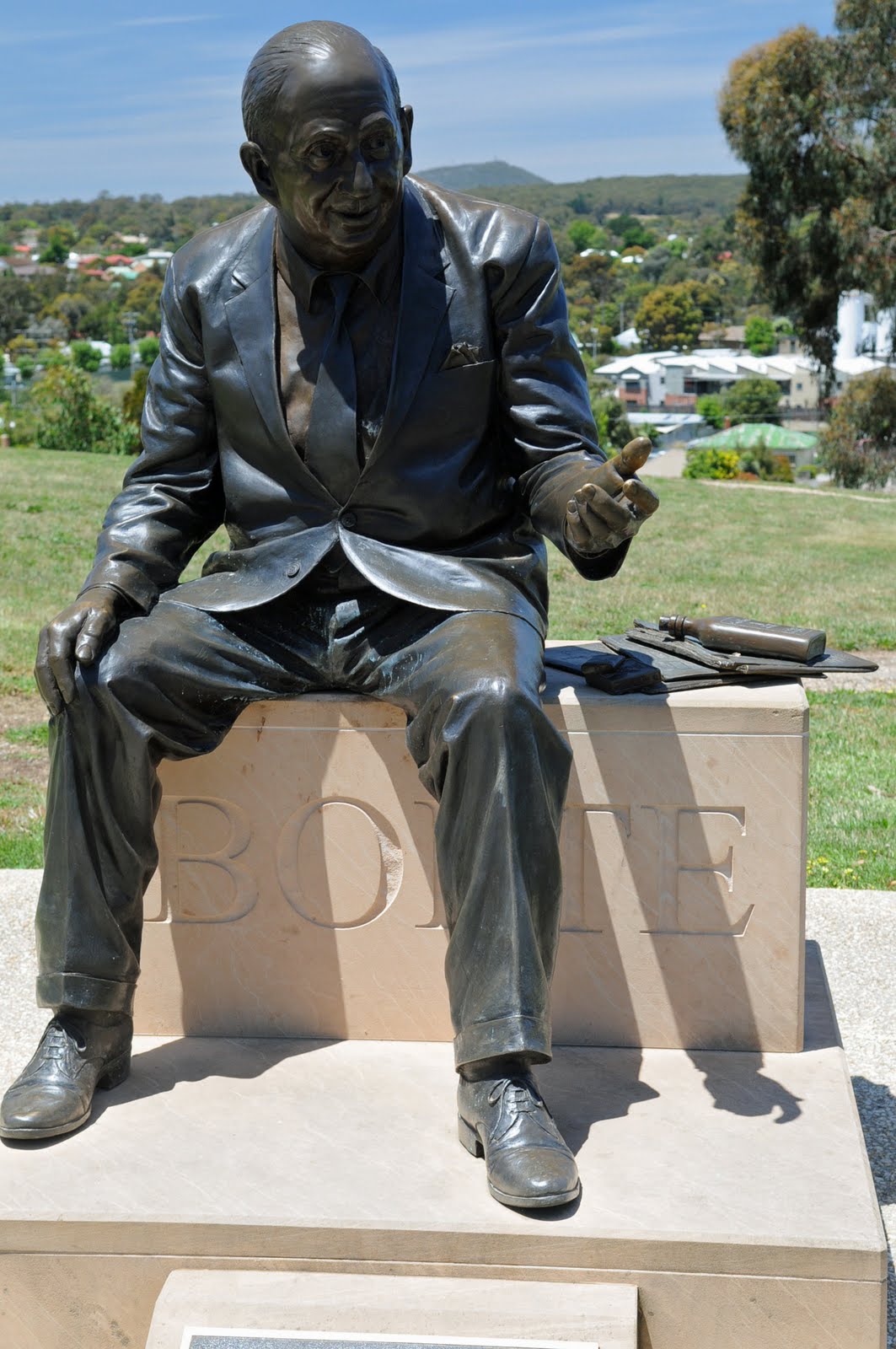
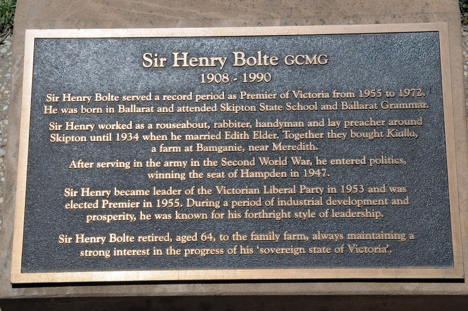
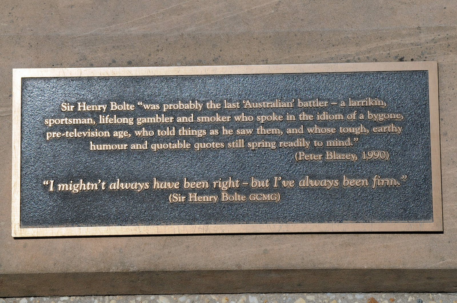
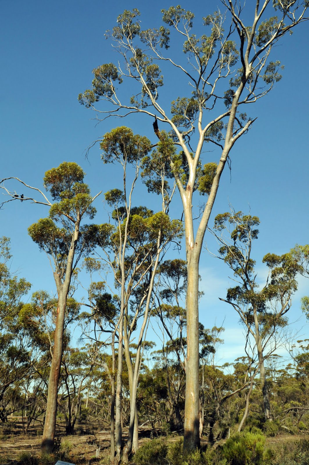
The Botanical gardens had magnificent old tall trees including oak trees, Canadian Reds and many different types of pine that were probably over 130 years old. There was also an avenue of busts of all the Australian Prime Ministers which was just lovely.
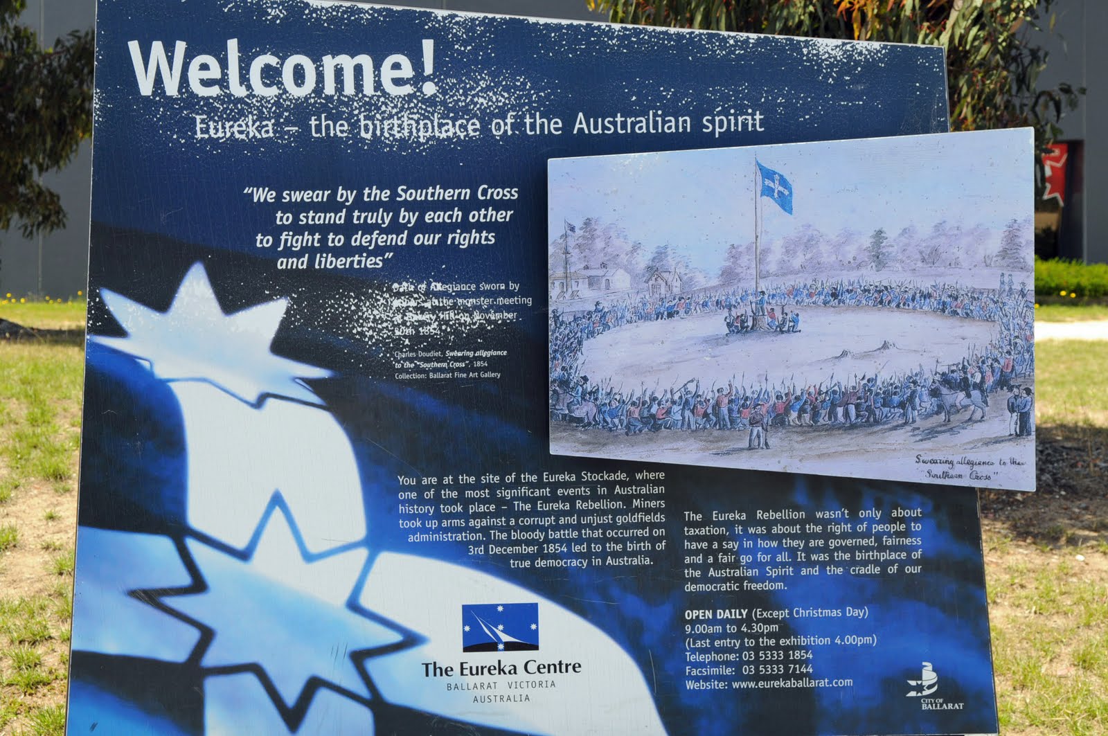
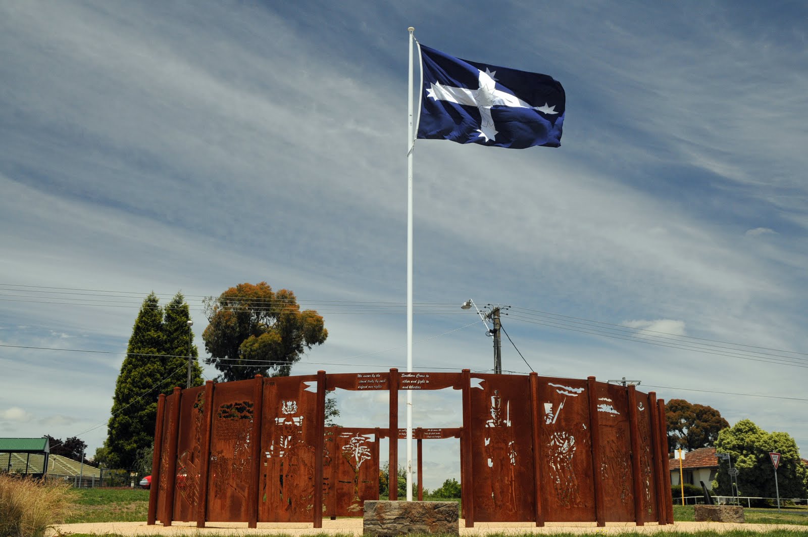
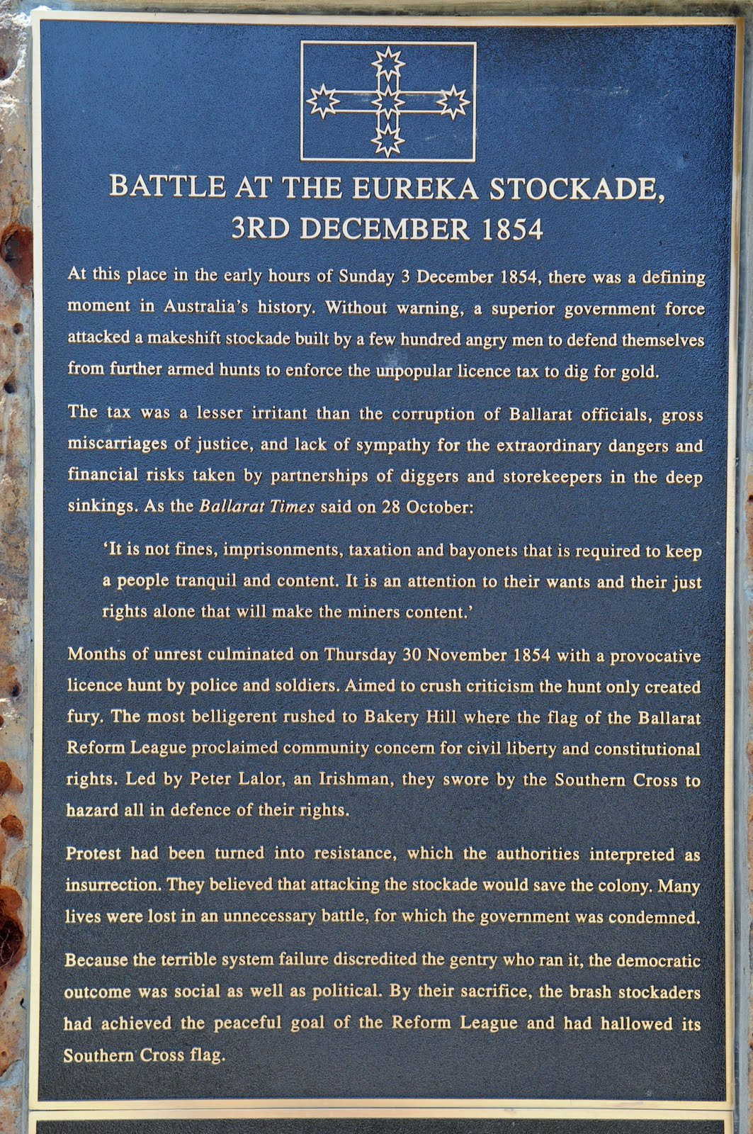
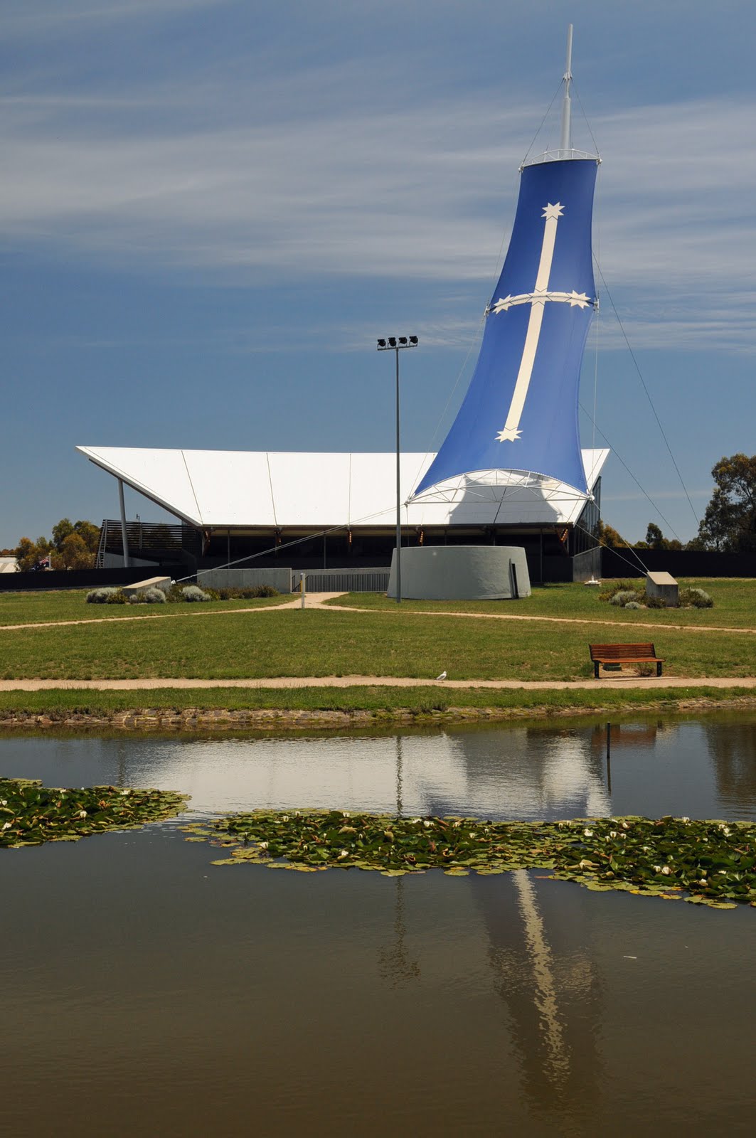
We then drove to the Eureka Centre which is built on the site where the Eureka Stockade took place on 7 October 1854 and was a miner’s uprising against the unfair cost of the mining licence and the corruption of the constabulary and the fact that they had no vote and therefore no representation in parliament.
Another wonderful trip was over from a sight seeing point of view the rest was family and finally back to Sydney by mid January.
Saturday 13 December – Saturday 20 December
Port Augusta - Melbourne
Blog 19
It was raining as we left Port Augusta and headed to Port Pirie where we had a bit of a walk around before continuing to Port Broughton which is on the west coast of the Yorke Peninsula. We had been to Port Augusta a few times before but had not taken the time to travel to places on the Yorke Peninsula.
The distances on this peninsula were very small and we then continued on to Kadina which is 9km inland from the west coast. We drove through lots of farm country with mainly wheat and barley crops. The area is really known as the barley capital of the world. Kadina is the largest town in the Yorke Peninsula even though it is still quite small. It had the unofficial title of “Little Cornwell” as it was part of the Copper triangle of 3 cities on the peninsula that mined copper.
The next stop was Wallaroo on the coast with its deep sea port from which copper was shipped. It is also home to the Spencer Gulf prawn fleet so of course we had to have a look. Only a few of the prawn trawlers were in dock but it was a lovely marina.
We Drove on to Moonta which is where the original copper in the area was found and mined from 1861. There was a large influx of Cornish miners at the time and that set the tone in the town and the area. Every second year they have a Cornish Festival.
Our stop for the night was at the little fishing town of Port Victoria on the coast.
The countryside of this peninsula is flat large fields barley and wheat. The main attraction in Minlaton is the red plane, known as the Red Devil, of Captain Harry Butler who flew across the Gulf from Adelaide to deliver the mail in 1919.
There was one little town after another with nothing really worth stopping for; Hardwicke, Point Turton, Warooka and Corny Point which was named by Matthew Flinders because it looked like it was a corn on the bottom of the foot of the peninsula he was mapping, Marion Bay and onto Innes National Park which was absolutely beautiful.
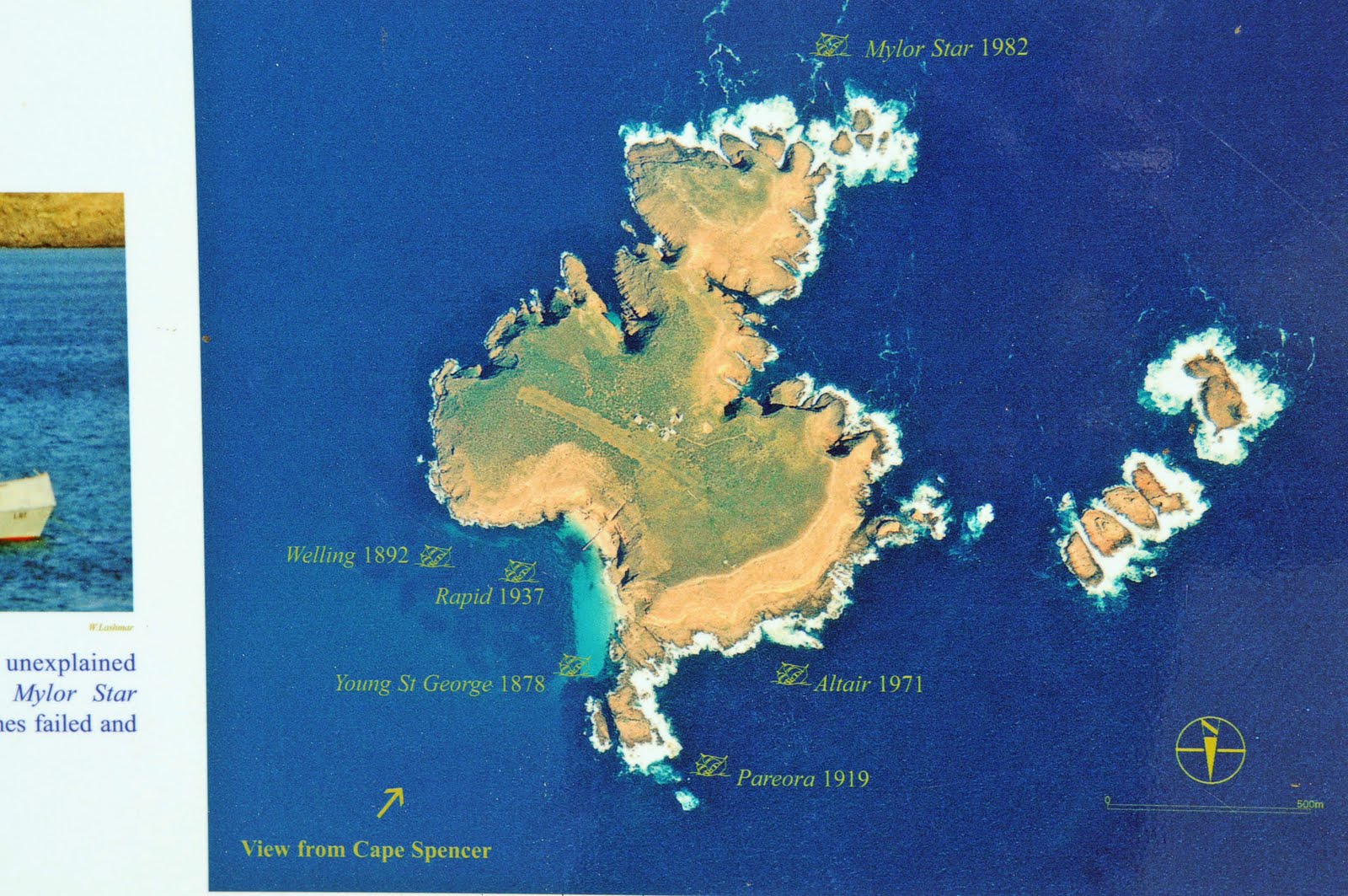
In the Innes National Park, West Cape Lighthouse presented the most spectacular views. We were very lucky with the weather; the sky was blue with a little cloud and there was some wind but not too biting. We also stopped at Ethel Beach to read about the shipwrecks there and looked at Deep Lake. We then wandered through the Historic Township of Inneston which was abandoned in 1970 and sold to the government so that it could now be incorporated into the National Park. Lake Inneston once was mined for gypsum which was shipped out at the Port of Stenhouse from the Stenhouse Jetty. The gypsum was used in the plaster of most of the houses in southern Australia.
The views from the lighthouse at Cape Spencer were just wonderful. We stopped off to look at the rock that looks like a Chinaman's Hat and onto the Stenhouse Bay Lookout walk.
The towns on the east side of the peninsula were tiny and we didn’t really stop but headed straight for Adelaide. Androssan has a dolomite mine owned by Onesteel (BHP) which keeps the town going and it also ships out salt and grains.
We had spent a few weeks in Adelaide on a previous trip so we just caught up on house keeping and continued on to the Adelaide Hills stopping at Hahndorf for a Kransky and beer for lunch. After lunch we drove to Sir Hans Heyson’s property, “The Cedars”, and went on the tour which included his studio, their home and the garden. He was Dutch but not a Lutheran like the rest of the town. He moved to Hahndorf with his wife Sally in 1908 and bought the property, The Cedars, with the house already on it. The original owners/builders had planted cedar trees and hence the name. Hans and Sally already had 4 children when they moved in and proceeded to have 4 more. Of the 8 children 6 survived and only one of those 6 became an artist and that was Nora.
Once in Victoria we took a detour to Jeparit a little town where Sir Robert Menzies was born. There are 2 memorials to him there; a plaque with his achievements listed and also a very tall metal tower to symbolise the heights to which anyone can reach if they want to. We stopped for lunch at the pink lake at Dimboola.
We stopped for a few days in Ballarat to visit friends and do some sight seeing. We drove along the beautiful Remembrance Drive with its beautiful trees, each of then with a plaque. We spent a few hours in the beautiful art gallery which has a fantastic collection of mainly Australian art and each room is dedicated to a particular era or decade. It also has the original Eureka flag which is huge and in pieces but it is now kept behind glass. We drove down to Her Majesty’s Theatre which has been in continuous use since it was built in 1875 even though it was mainly used as a picture theatre in the mid 1900s
We drove around Lake Wendouree where there was only a little water and there was so much grass in the lake that it had actually been cut. We stopped at the beautiful War Memorial to the Australian soldiers that were prisoners of war in all the wars where we have fought. It was an impressive monument.
The Botanical gardens had magnificent old tall trees including oak trees, Canadian Reds and many different types of pine that were probably over 130 years old. There was also an avenue of busts of all the Australian Prime Ministers which was just lovely.
We then drove to the Eureka Centre which is built on the site where the Eureka Stockade took place on 7 October 1854 and was a miner’s uprising against the unfair cost of the mining licence and the corruption of the constabulary and the fact that they had no vote and therefore no representation in parliament.
Another wonderful trip was over from a sight seeing point of view the rest was family and finally back to Sydney by mid January.
posted by Mike and Carol at
10:00 AM
![]()